57 km
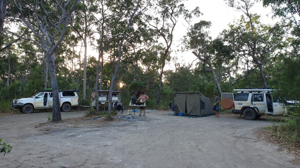
Most people had a good sleep with the quiet night and hearing the river.
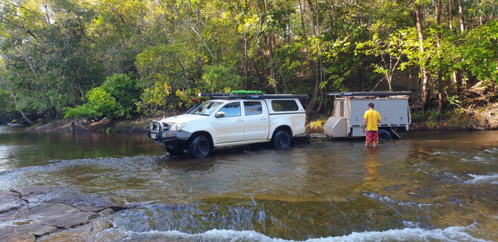
We inflated tyres to a higher psi then headed out at 08h00. The Creek crossing went well for both vehicles until the exit. It was a sharp 90 degree bend in very soft sea sand. Christo made it when he gave it proper gas but Johan couldn’t speed up enough to take the corner with the trailer. After trying a couple of times. We put on the deflators … half the psi we pumped to 15min ago…hahaha… but Johan got out after putting gas, in a couple of attempts.
After getting out we need to pump the tyres up again…all takes time. 45min later we were done …the first obstacle of the day only!!
There was excitement when we spotted some toilets but they had no stairs and was filthy inside when Christo got up there. This was disappointing.
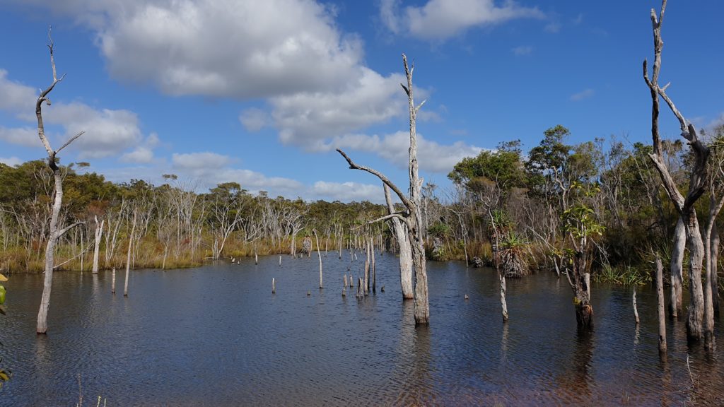
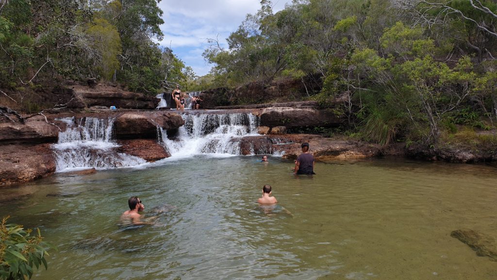
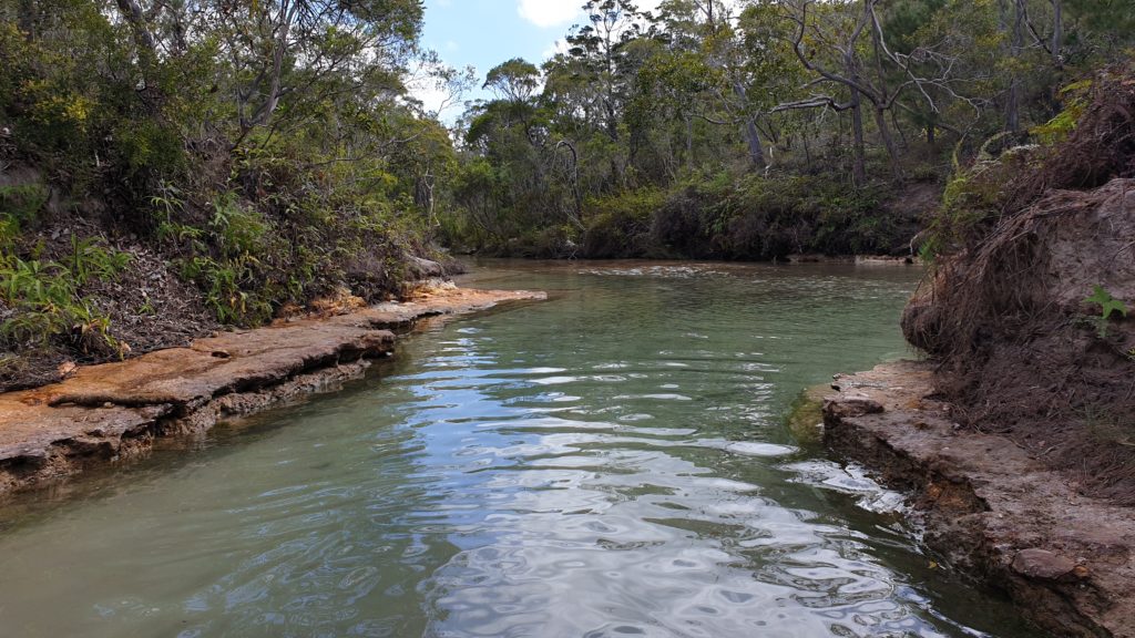
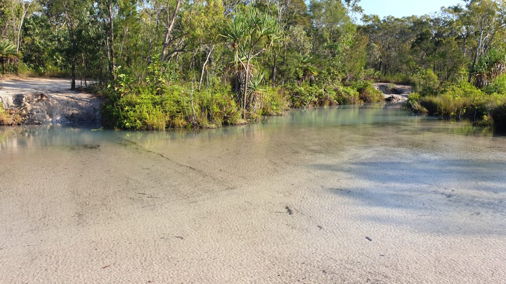
Our next stop was a great place to relax- Fruitbat Falls. These are short waterfalls and swimming is allowed on the upper and lower levels. The water is pleasant and we swim and wash off the ever present dust and mozzie spray!
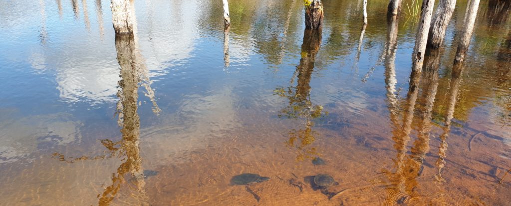
Turtles 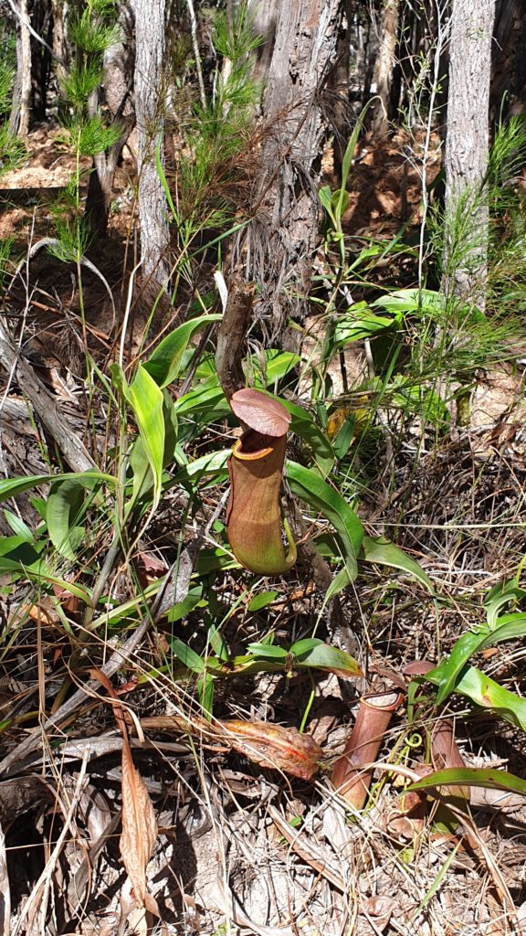
Pitcher plants at Fruitbat Falls 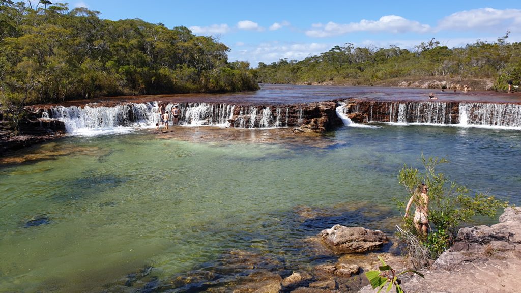
Fruitbat Falls 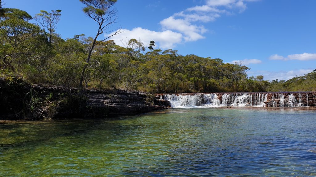
Fruitbat Falls
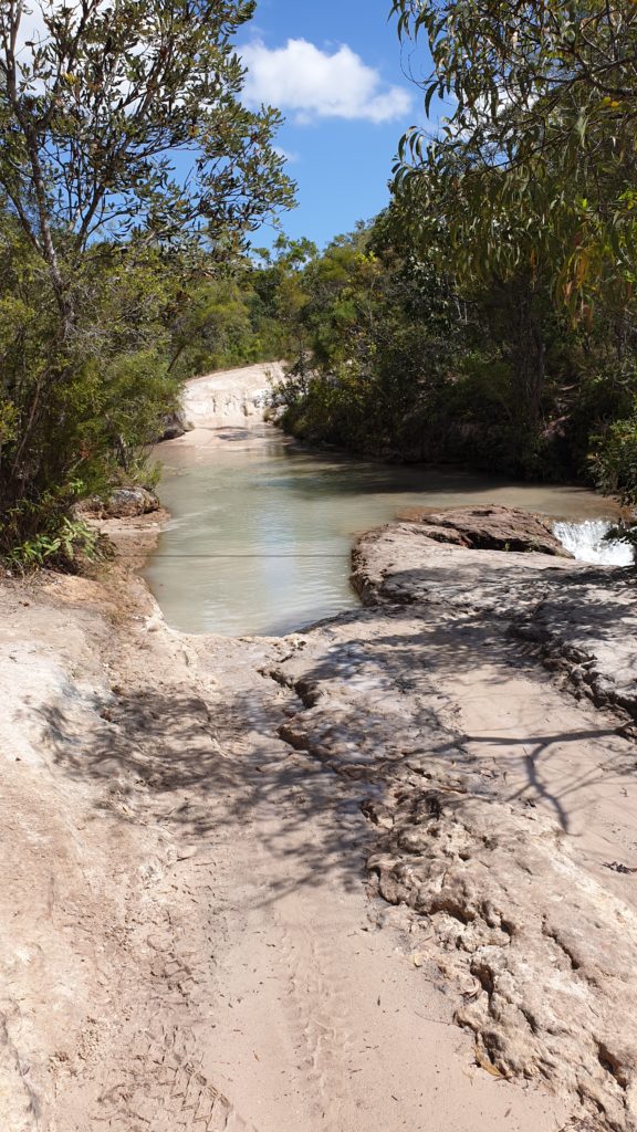
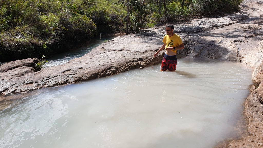
We spent a fair bit of time here then headed to Eliot Falls. The road to get here is a bit rougher and we assume less tour groups make it out there.
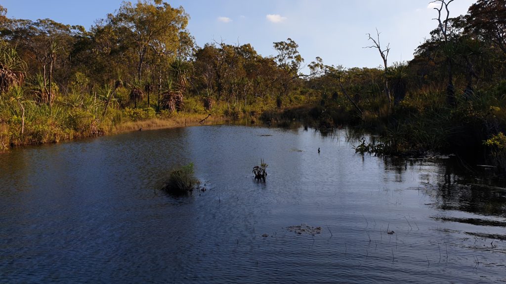
These falls are a multiples series of falls and gorges that interconnect them. Lara, Johan and Christo were brave and jumped into the depths of the gorge then floated down River. I was somewhat concerned that I was going to lose my bikini top…we wouldn’t want that!!
We have lunch at Eliot falls and only leave again just after 13h00. Little did we know what would lie ahead of us for the afternoon!
Twin Falls 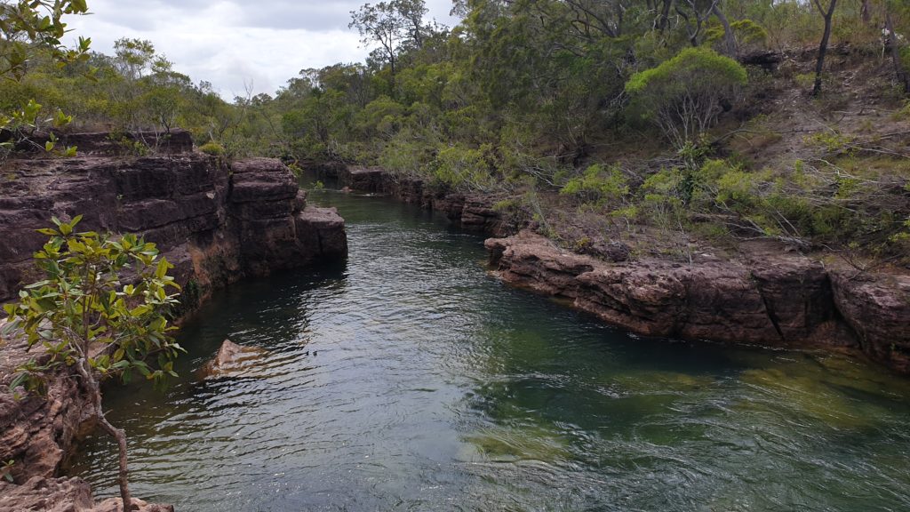
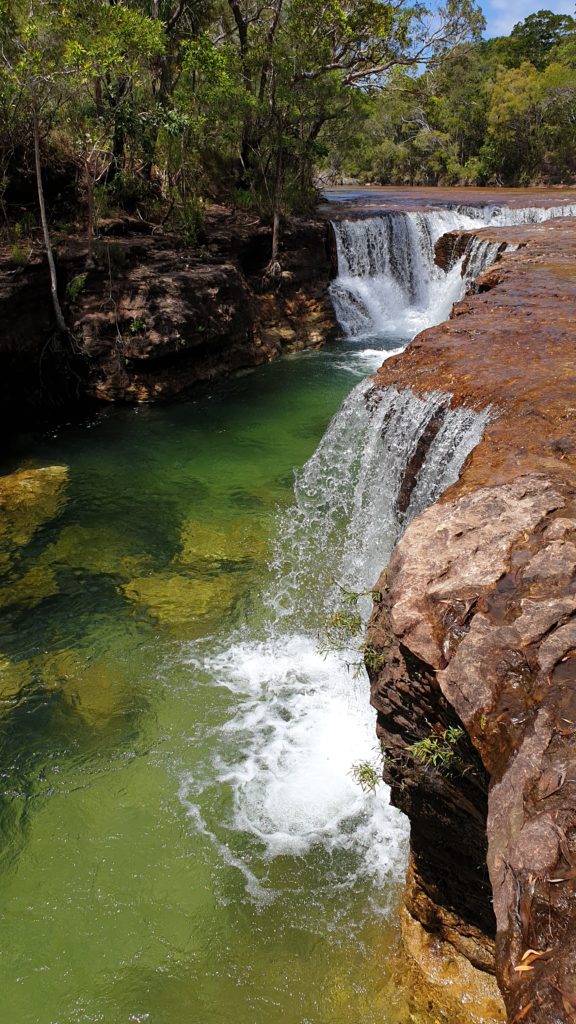
Eliot Falls 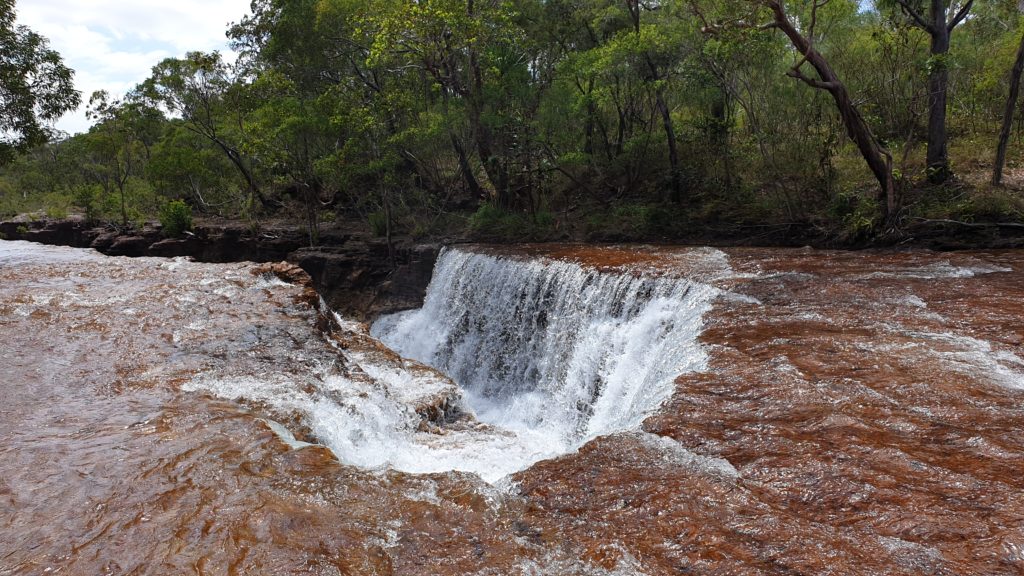
Eliot Falls
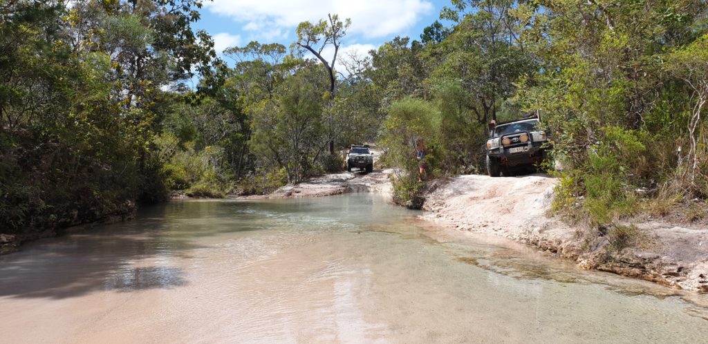
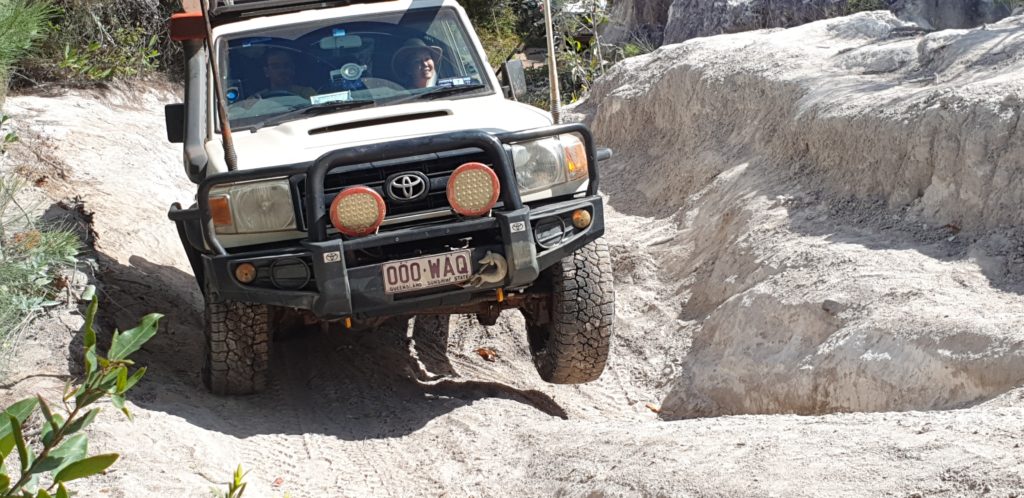
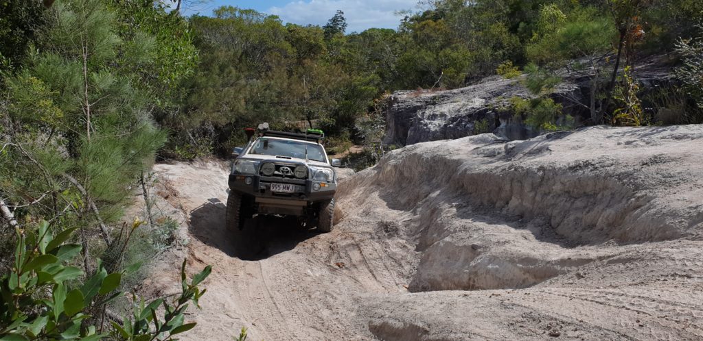
The track was relentless from the time we left the falls… our top speed would have been 40kmph and that would have been for less than 3min. The road was constantly rutted, narrow, corrugated and deeply eroded. Articulation was tested constantly, as were our nerves. Each crossing of creeks and fords was technical, need to be walked and planned for well as waters were often waist deep.
Going from South to North they are Sam; Mistake; Cannibal and Cypress Creeks. Cypress Creek is a whole other level – with the crossing over the Creek being a very bush engineered, rickety log bridge… or “bridge” as it is referred to on maps…it cannot quiet be called a bridge as much as an aid. The driver cannot see the logs and where their tyres line up and must thus trust the instructor entirely and make minute movements with the steering wheel. When this section is done then there is still a steep section out that is also holey from all the tyre spinning that has occurred there.
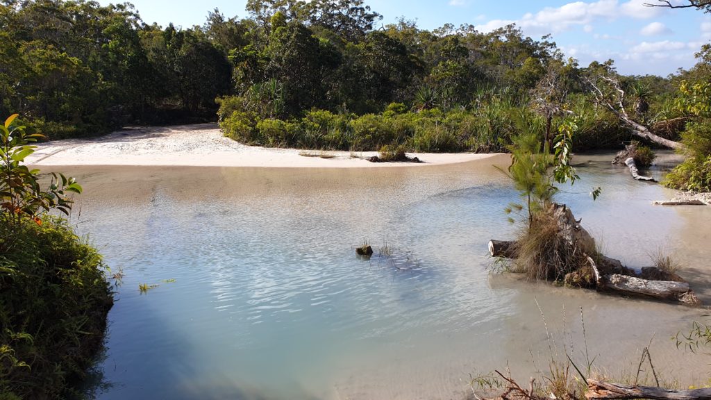
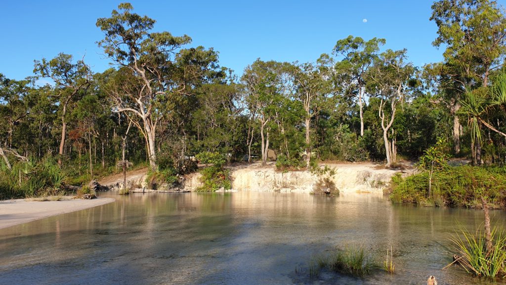
The camping around here didn’t look great and already had a few people set up, so we decided to keep going north to Nolans crossing or Bridge Creek as it is called.
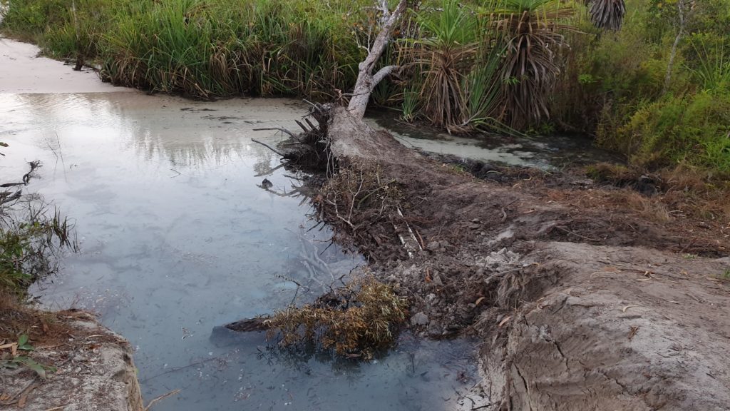
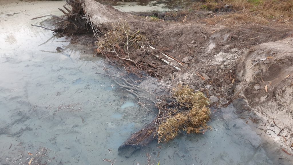
However with a very rocky road we only made it 6km in 1.5 hours and decided to camp out at a Creek approximately 5km south of Nolans. It was 16h15 by then.
Johan decided that we would need to build a road out of the Creek for the next morning and thus him and Christo set off on a bush highway construction project with axes, showers, saws and machetes! Lara and I didn’t really see the need considering all the rough and difficult crossings we had done until now…just an excuse to keep busy we reckon!