Day 90
17 January 2020
Km 31
Cumulative Km 865
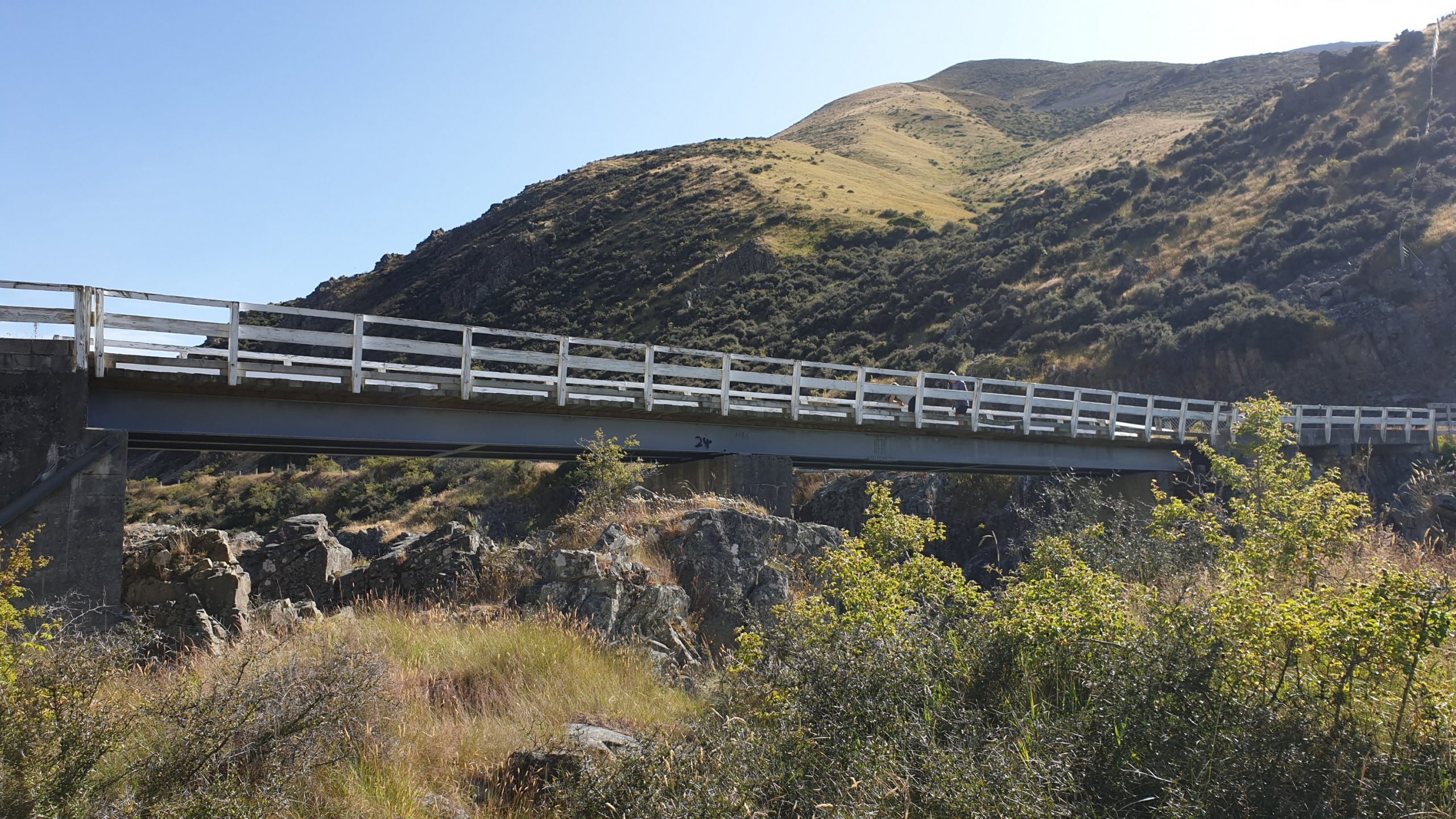
After 2.5 weeks of visiting with friends and waiting out rains in the passes I finally started walking from Twizel. It was the closest part of the trail to Temuka, where I visited with Vasti and family for a couple of nights.
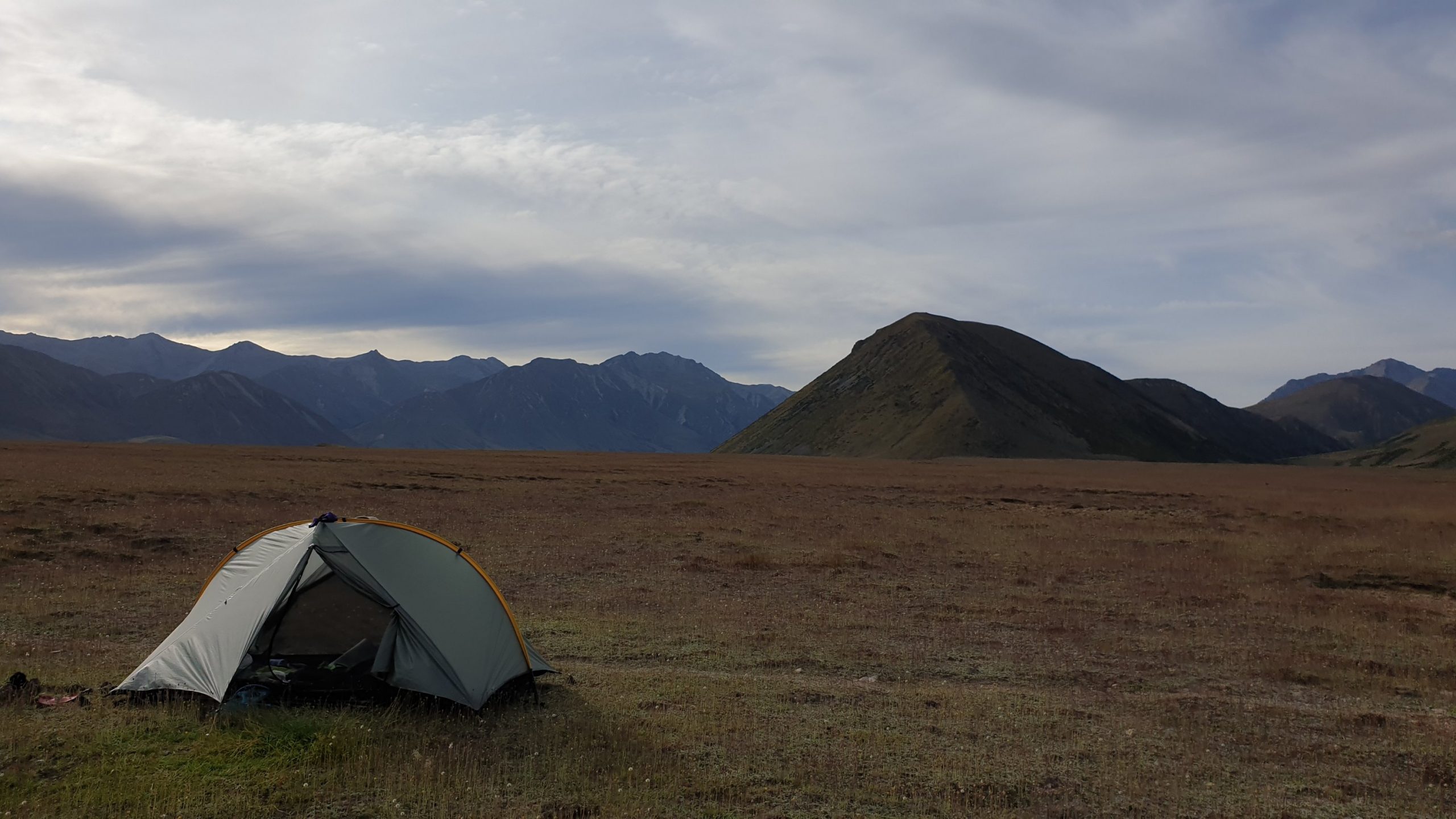
It was going to be a long day as the kilometres were many though at least the terrain was flat. With 8 days of food though, the back pack was really heavy!!
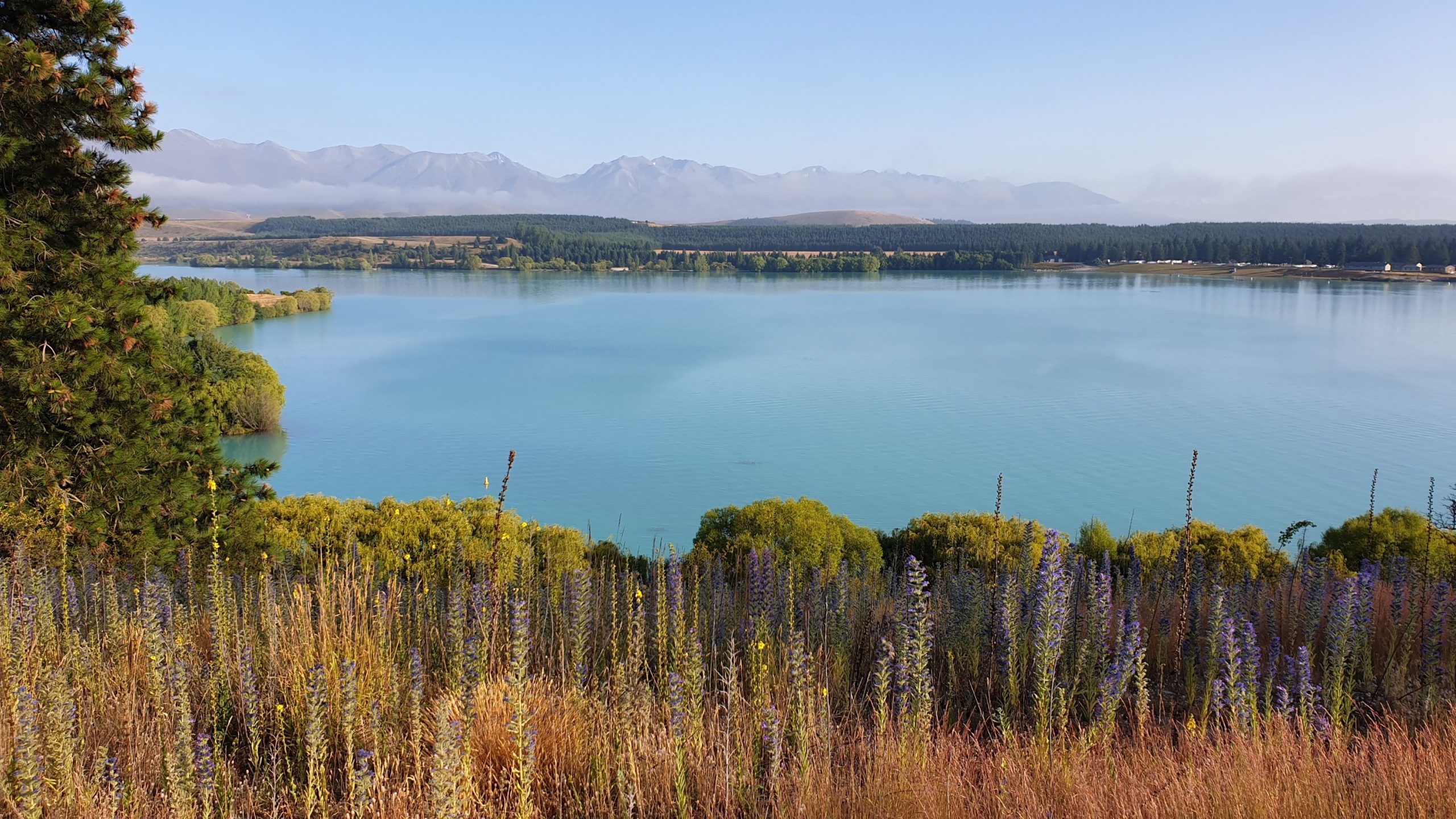
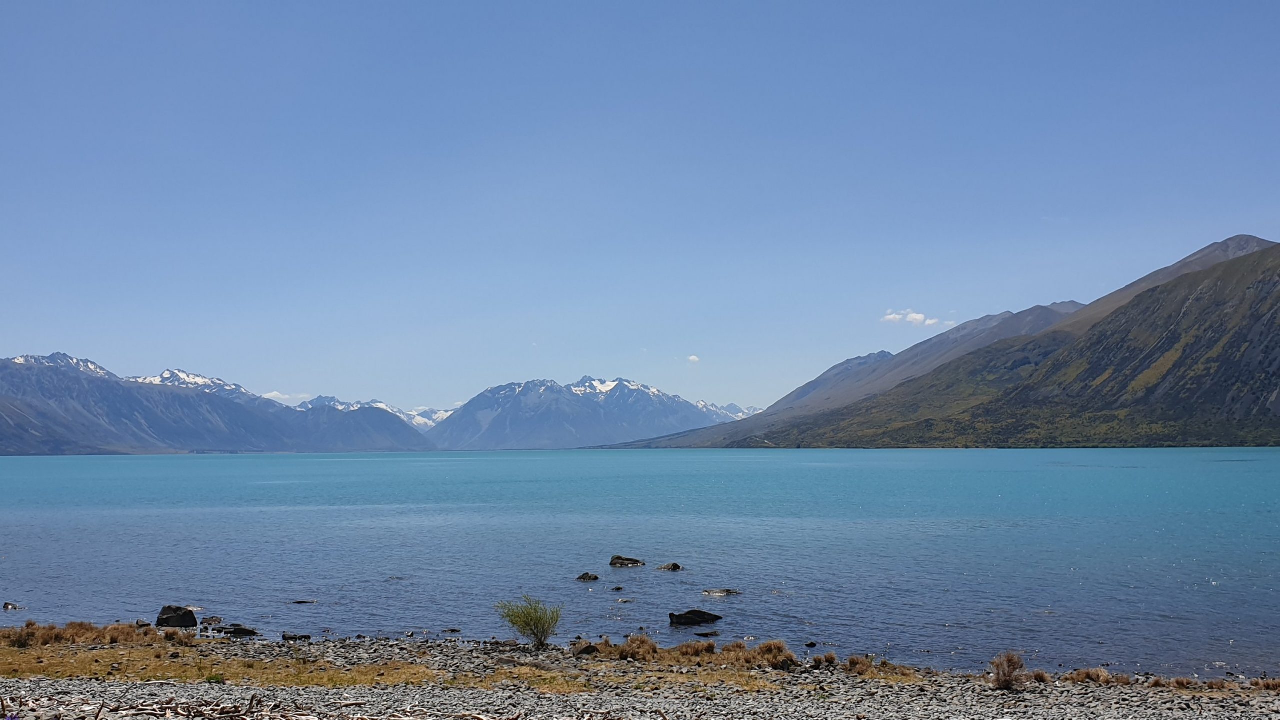
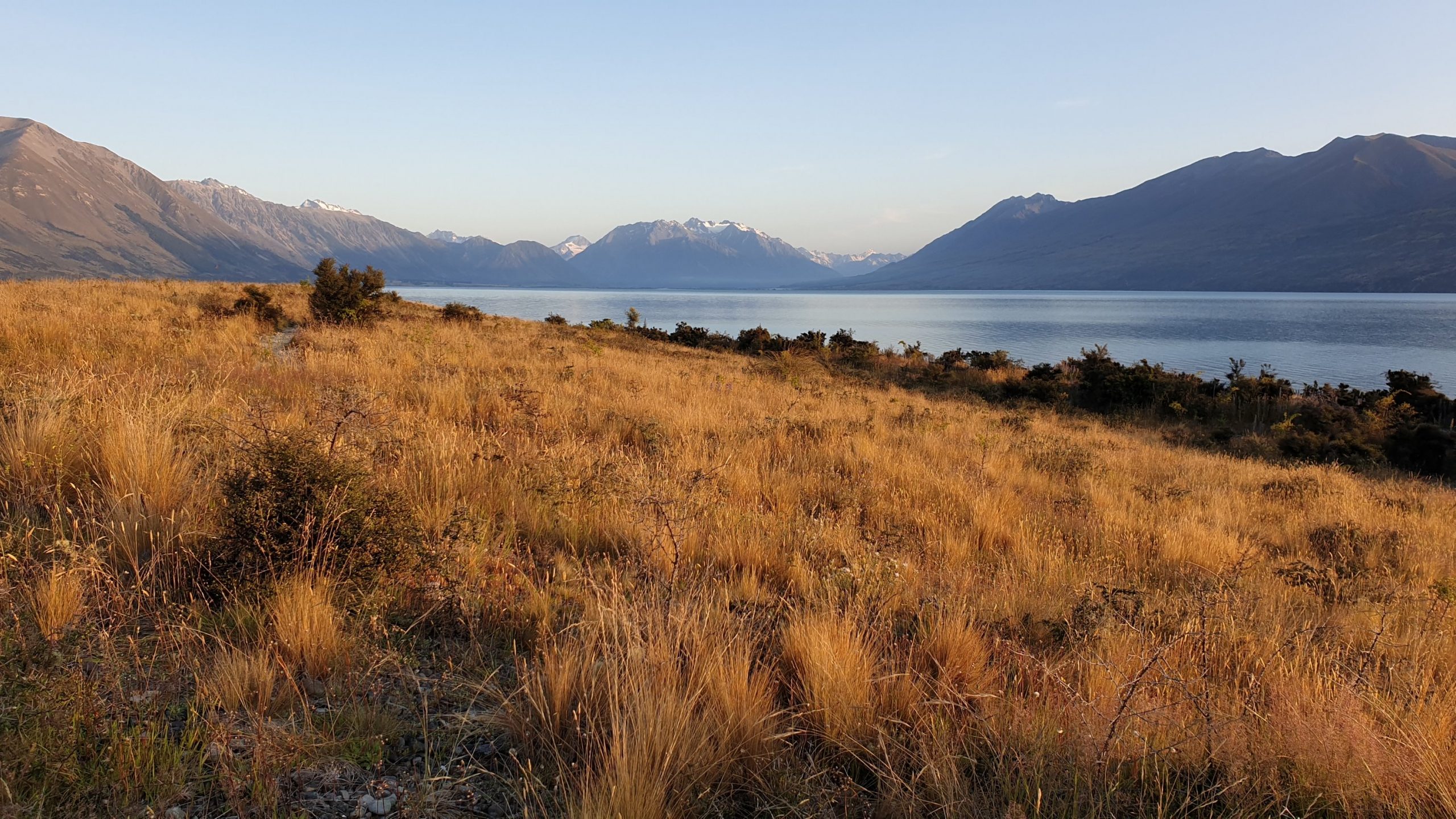
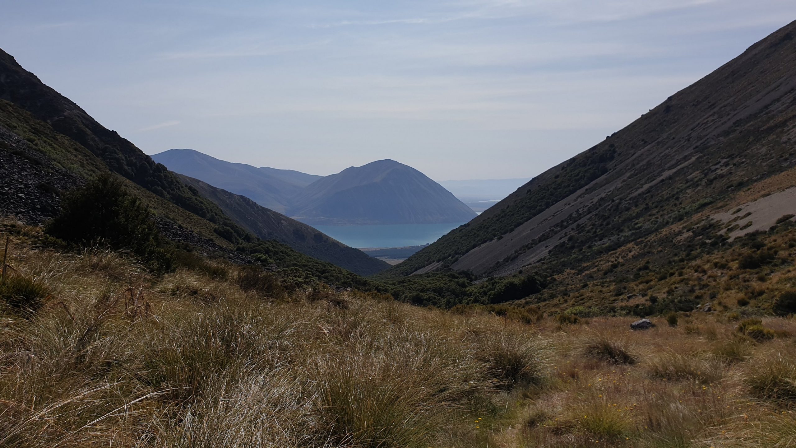
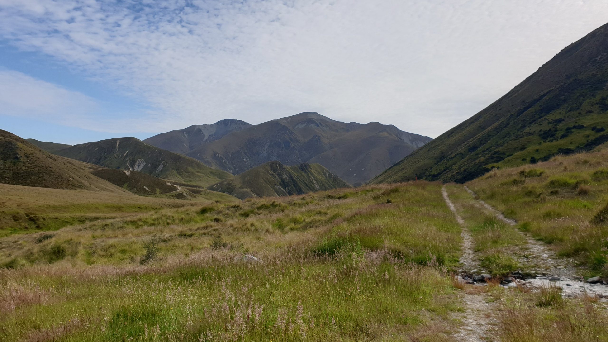
I didn’t see much scenery in the morning as it was misty. Spent the morning walking along Lake Ruatanhiwa- a man made lake for storage of water for hydroelectric power. Then the trail took me alongside Oahu River and a long way around Oahu Lake.
The lake is very pretty- turquoise blue with some dramatic mountains, some snow covered serving as the backdrop.
After leaving town at approximately 06h30 I finally arrived at camp at 14h45.
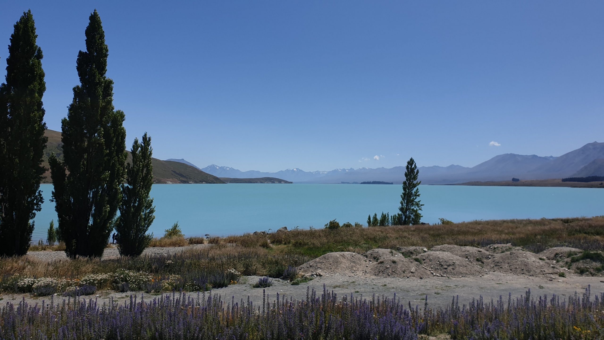 Lake Tekapo
Day 91
Km 27
Cumulative Km 892
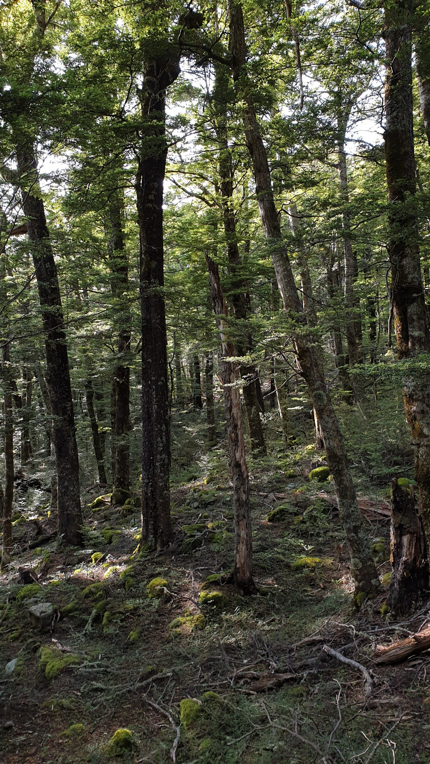
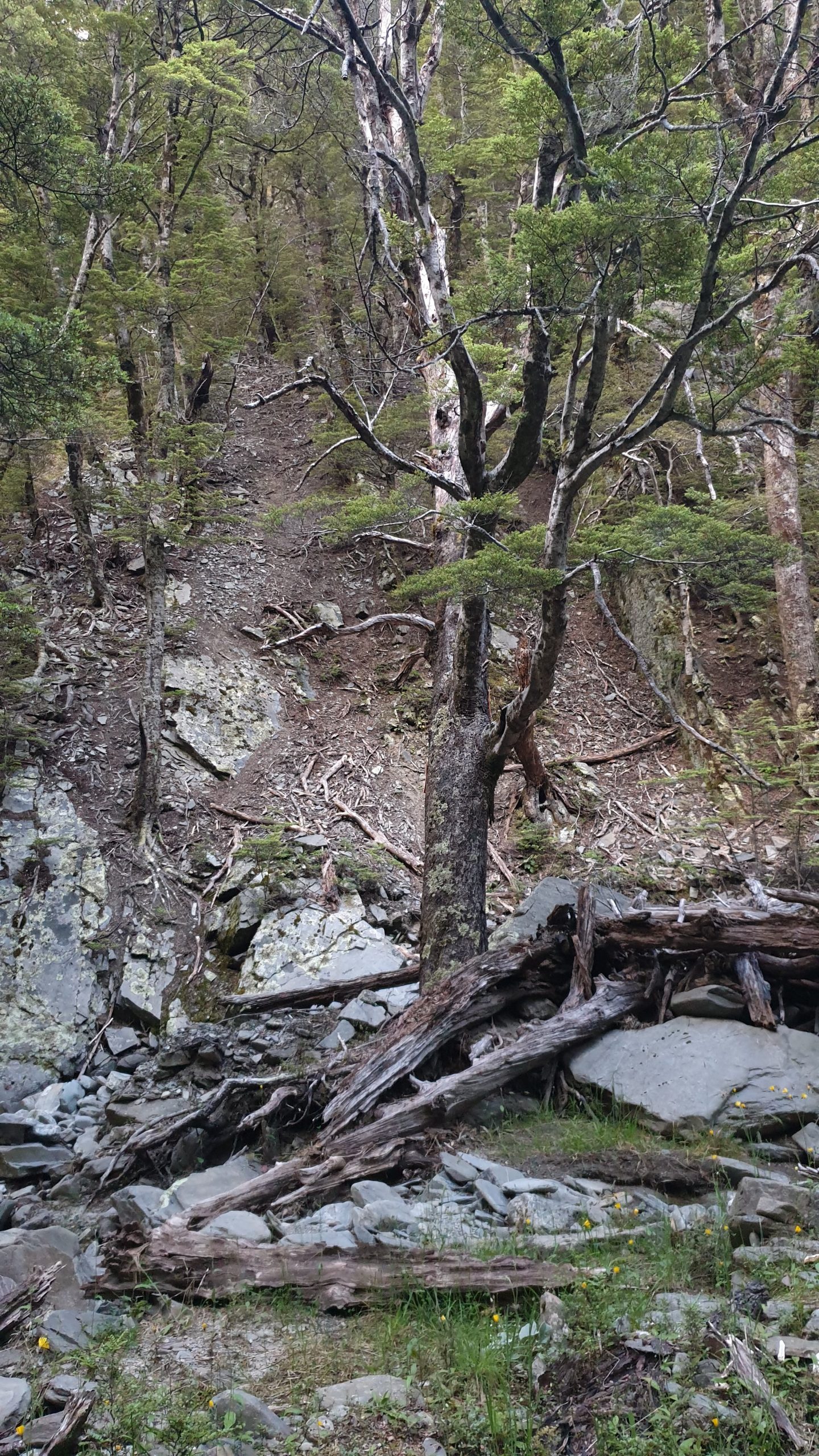
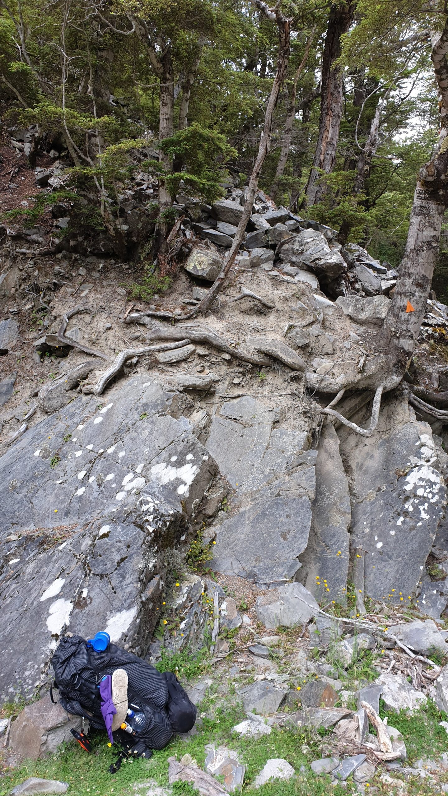
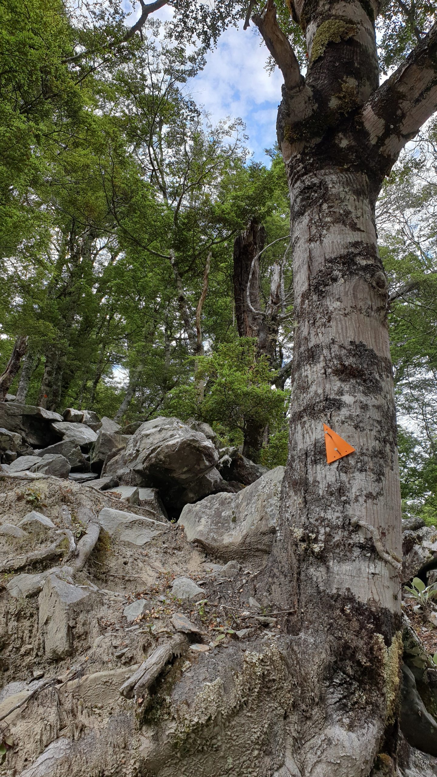
Today started with a 3km road walk to get to the trail head and then a steady climb through beech forest to the bushline. There was some uncomfortable walking up some small boulder type rocks, but there weren’t too many .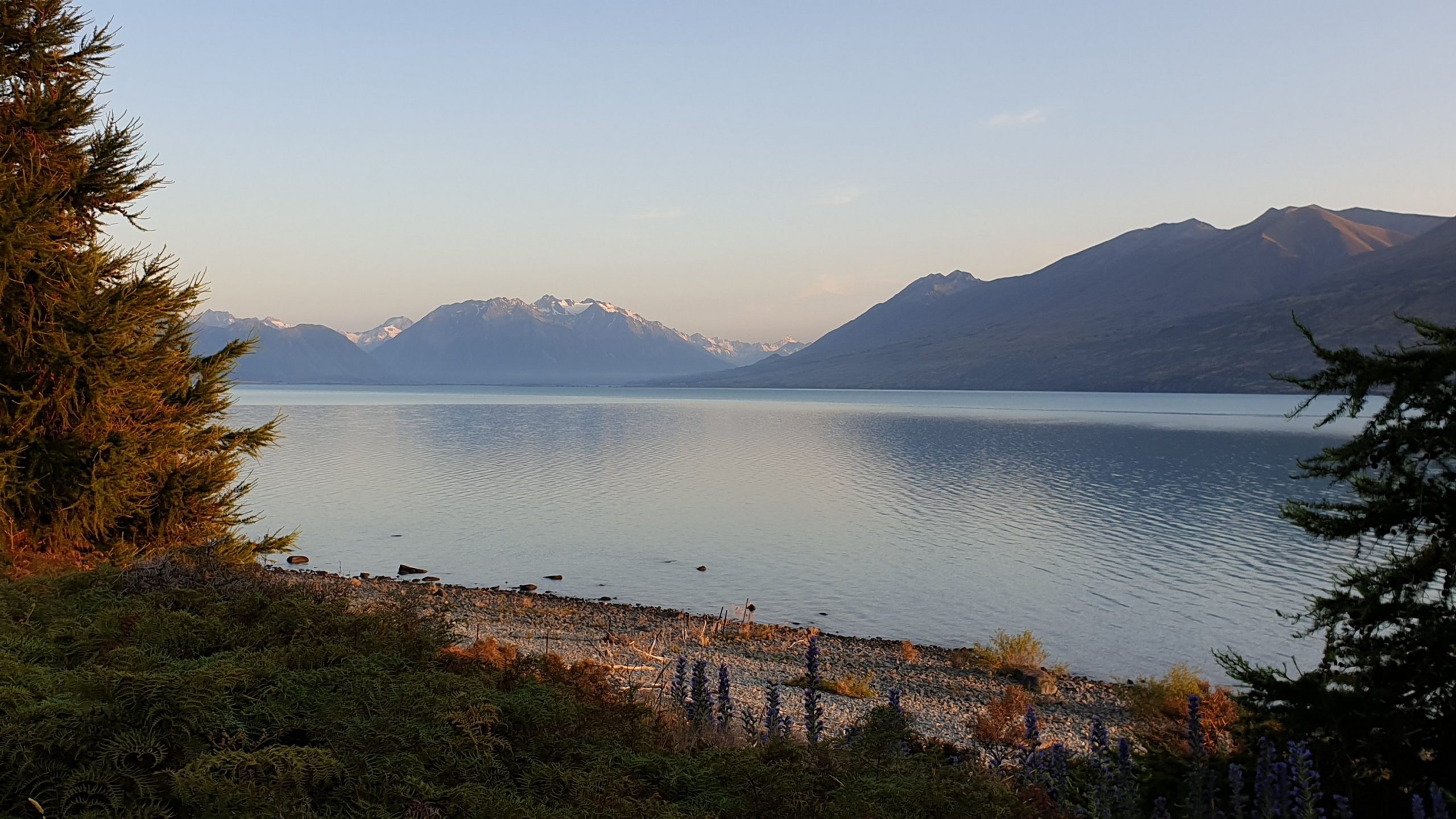
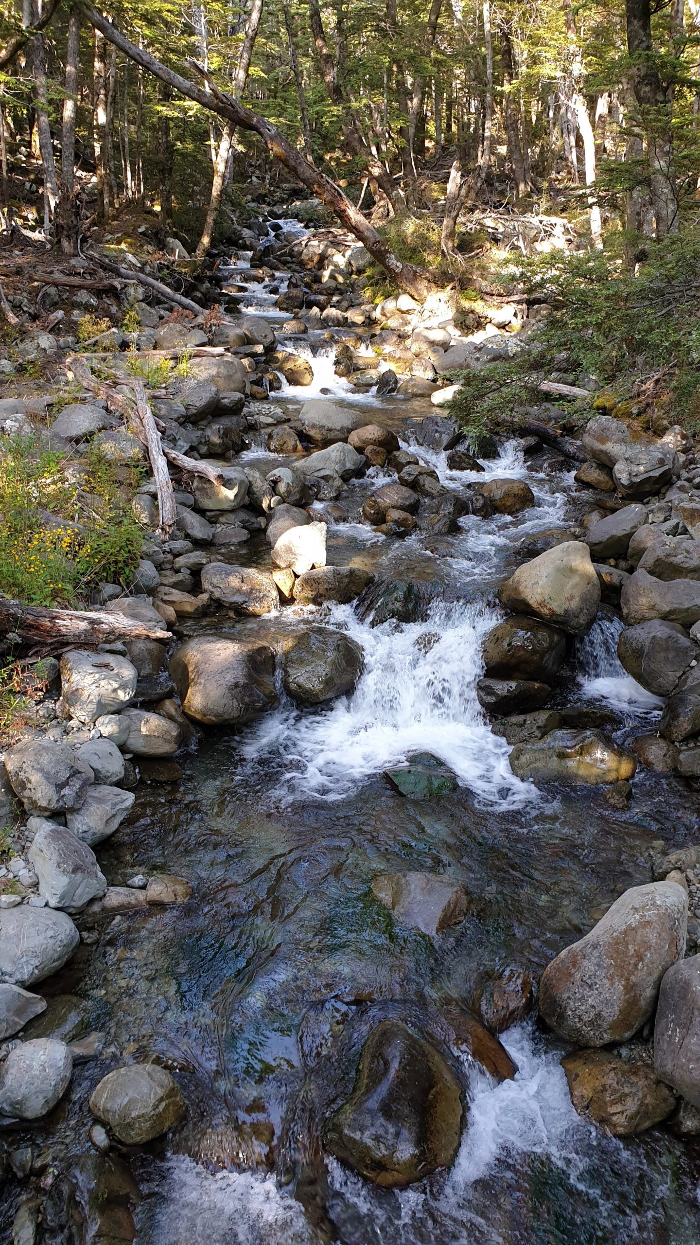
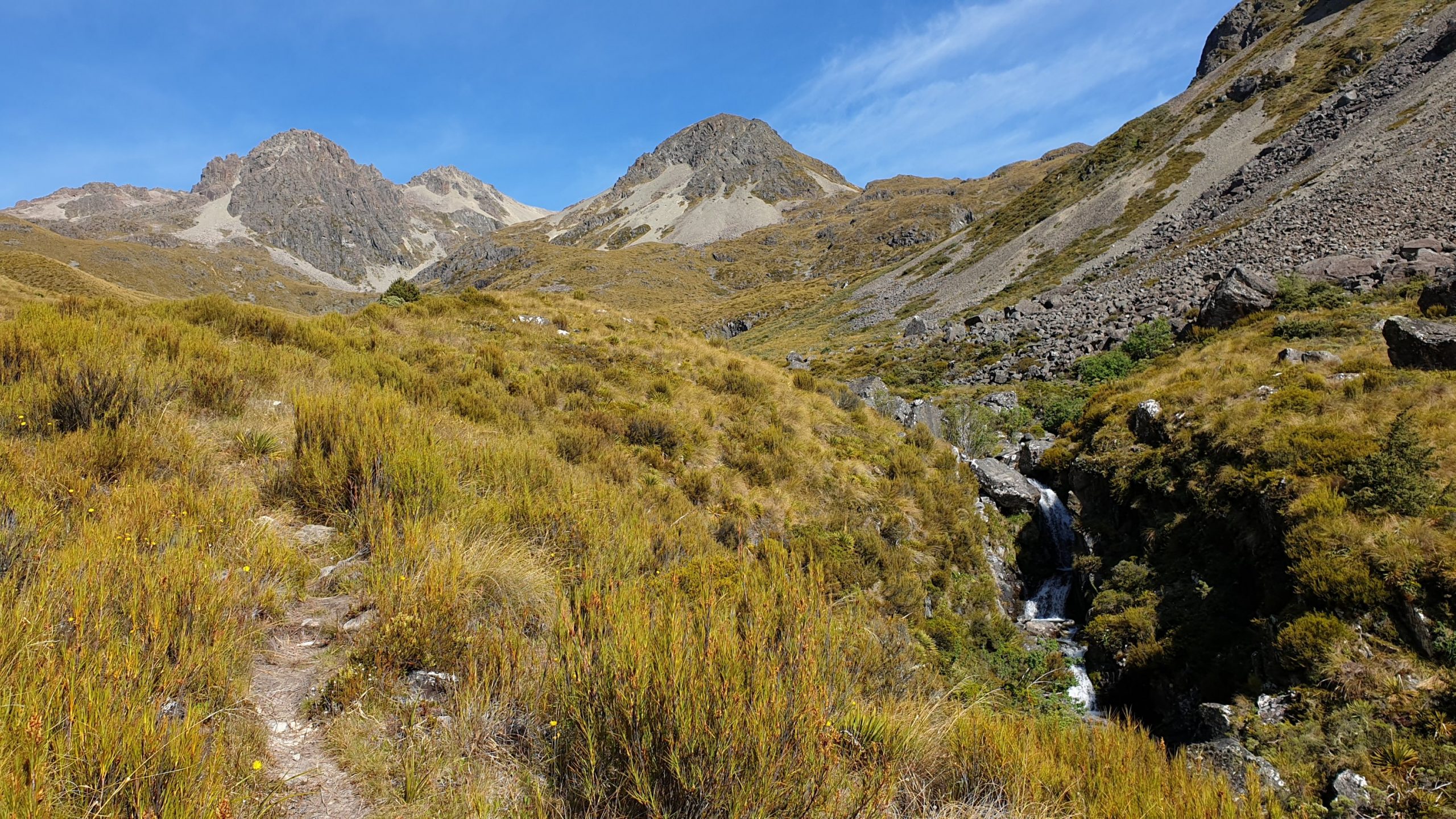
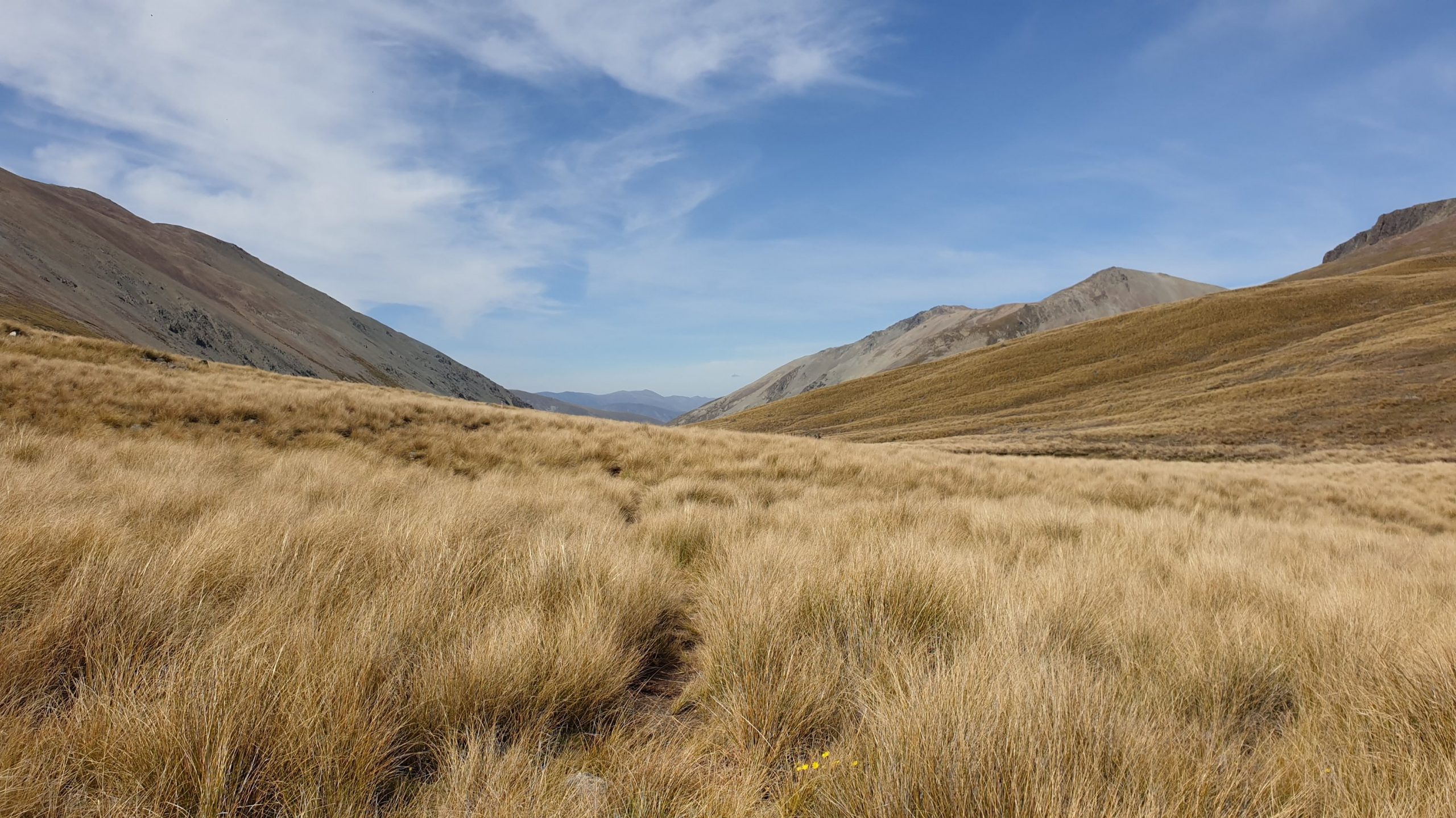
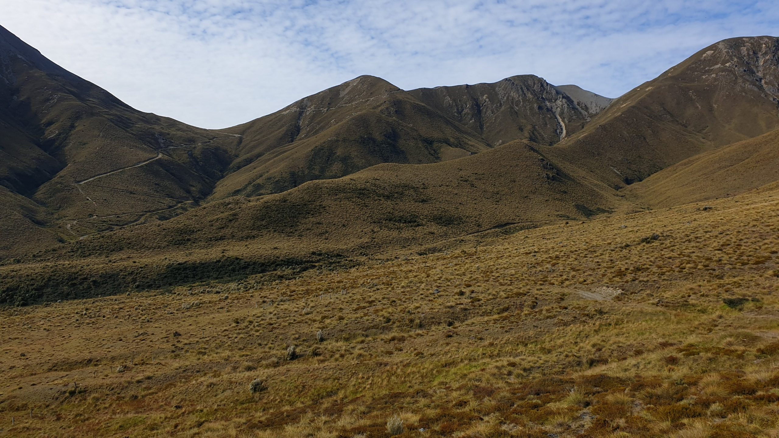
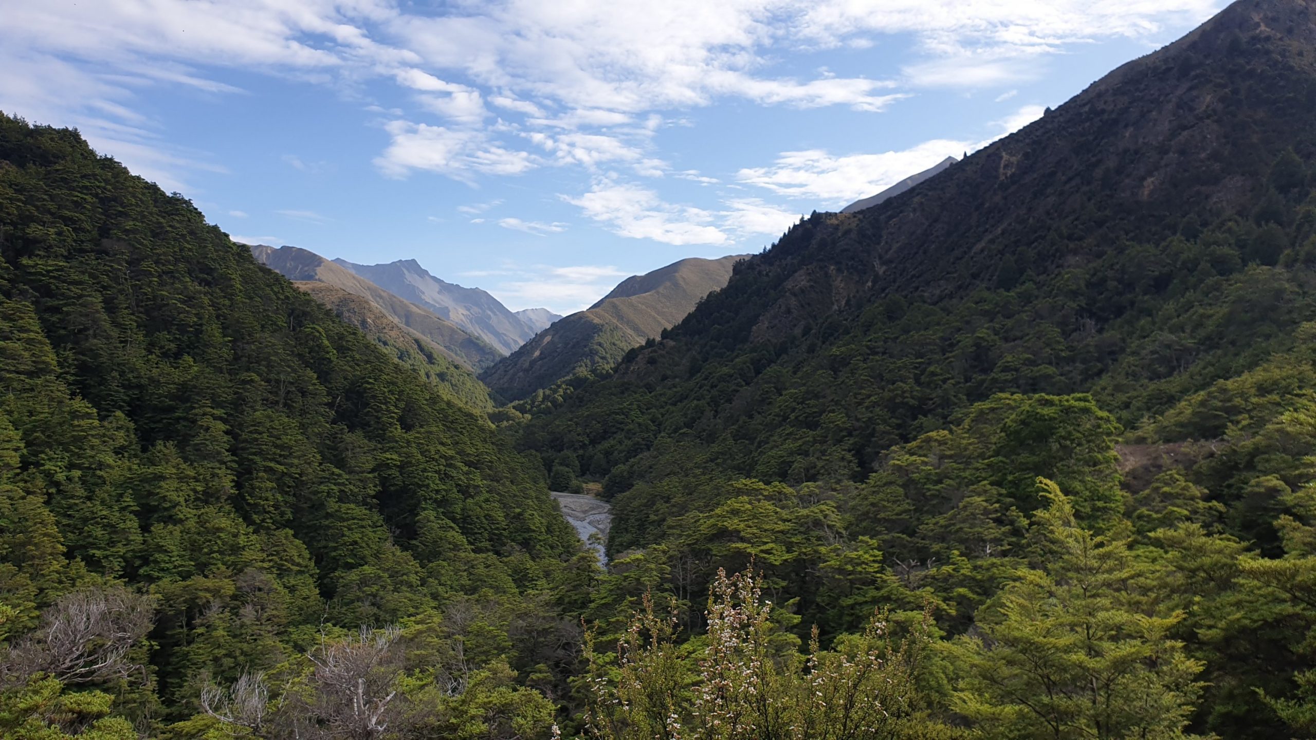
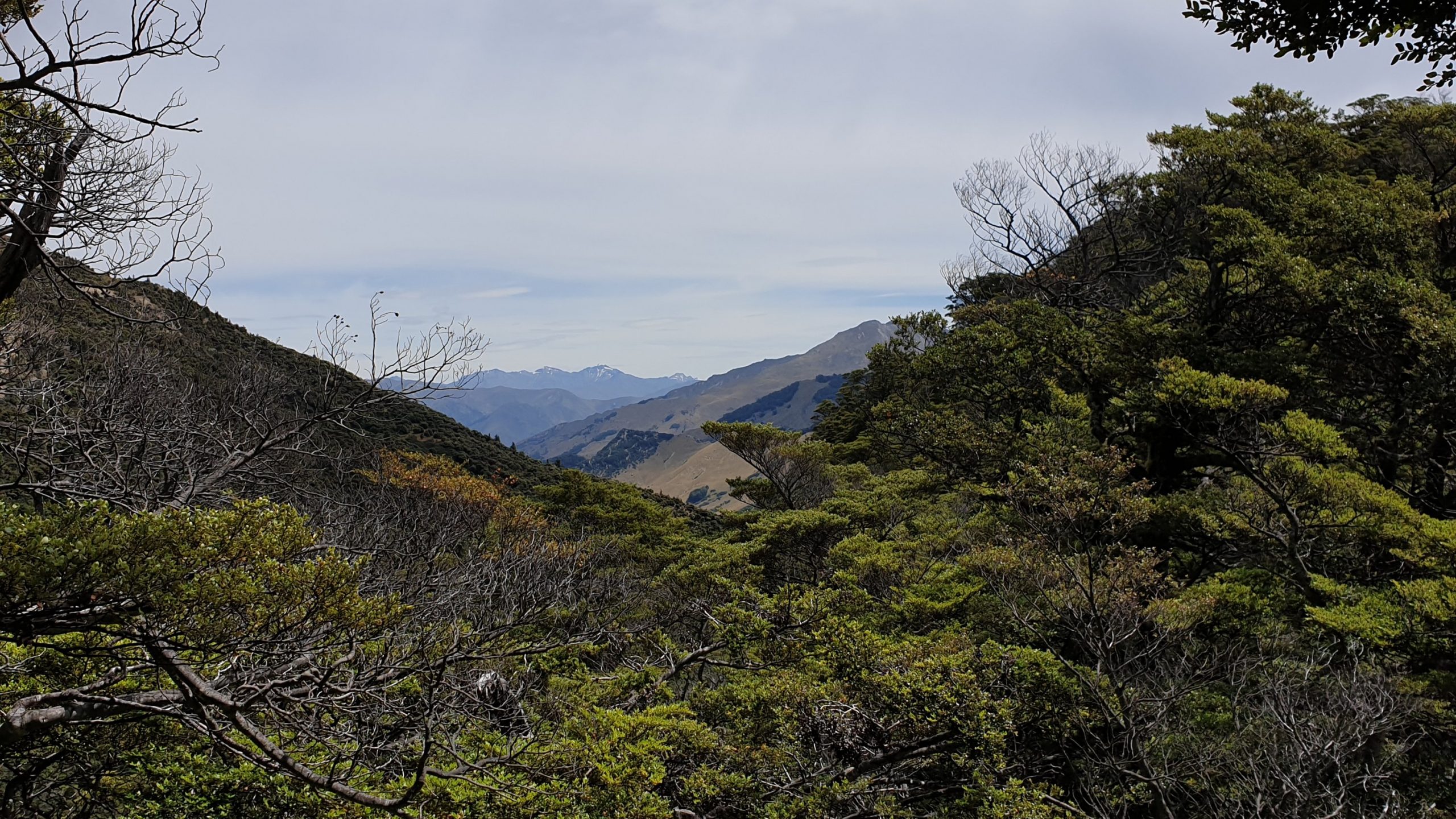
After heading up the valley a bit there was a great view down the valley where I had come from. Up the valley also looked stunning, though dry and tussock filled, there were many waterfalls and streams.
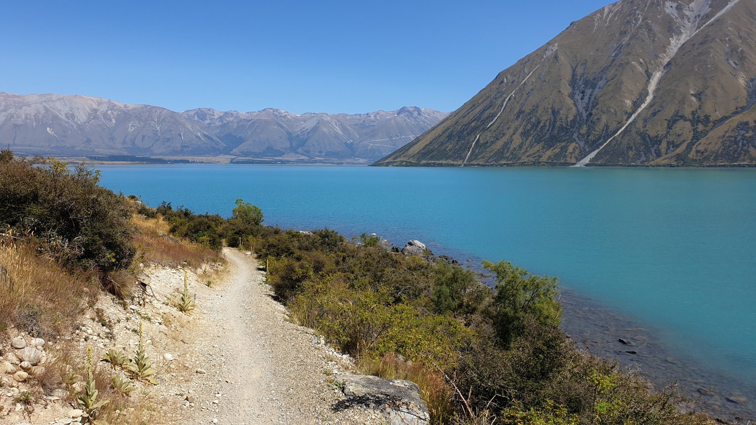
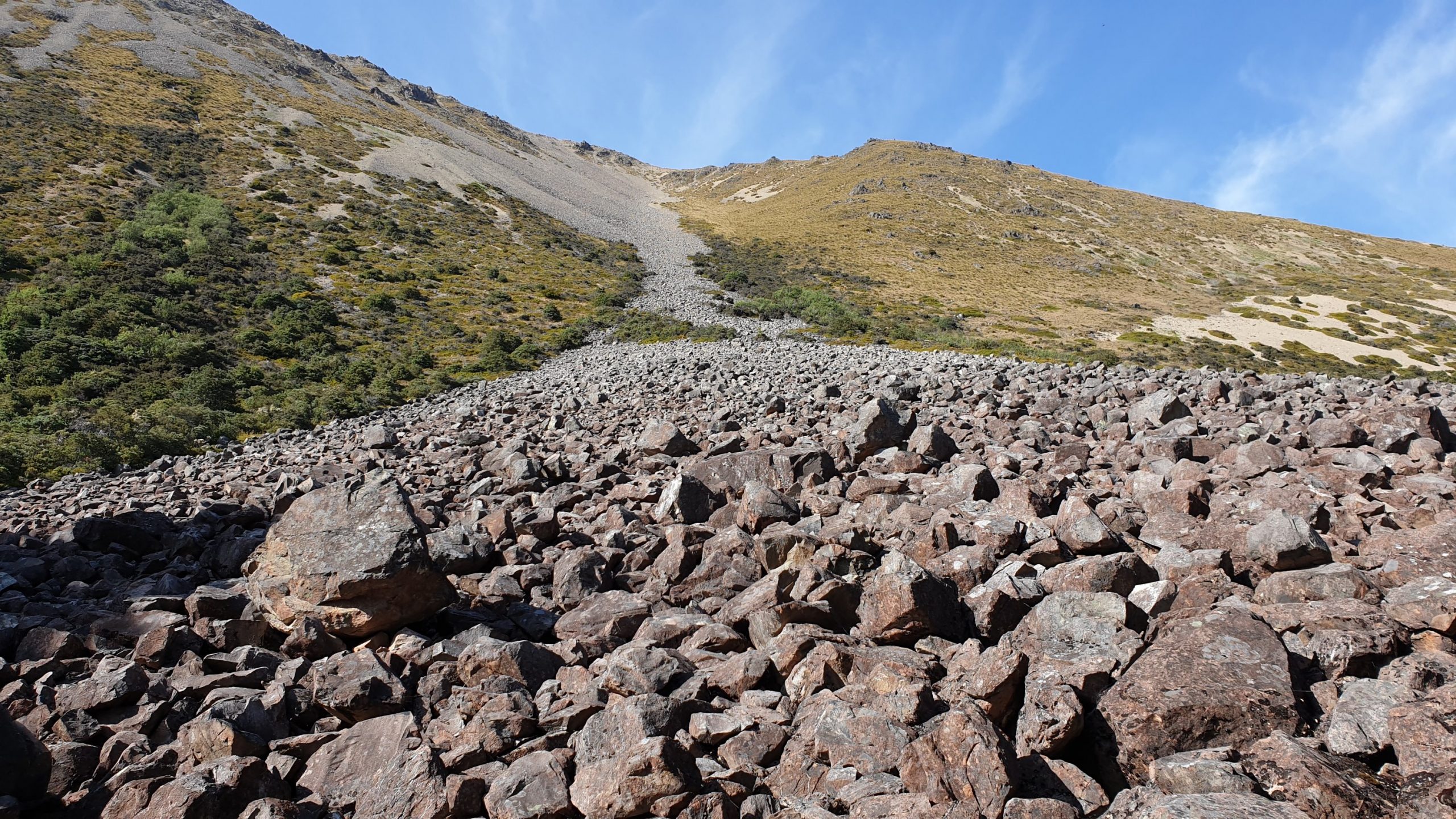
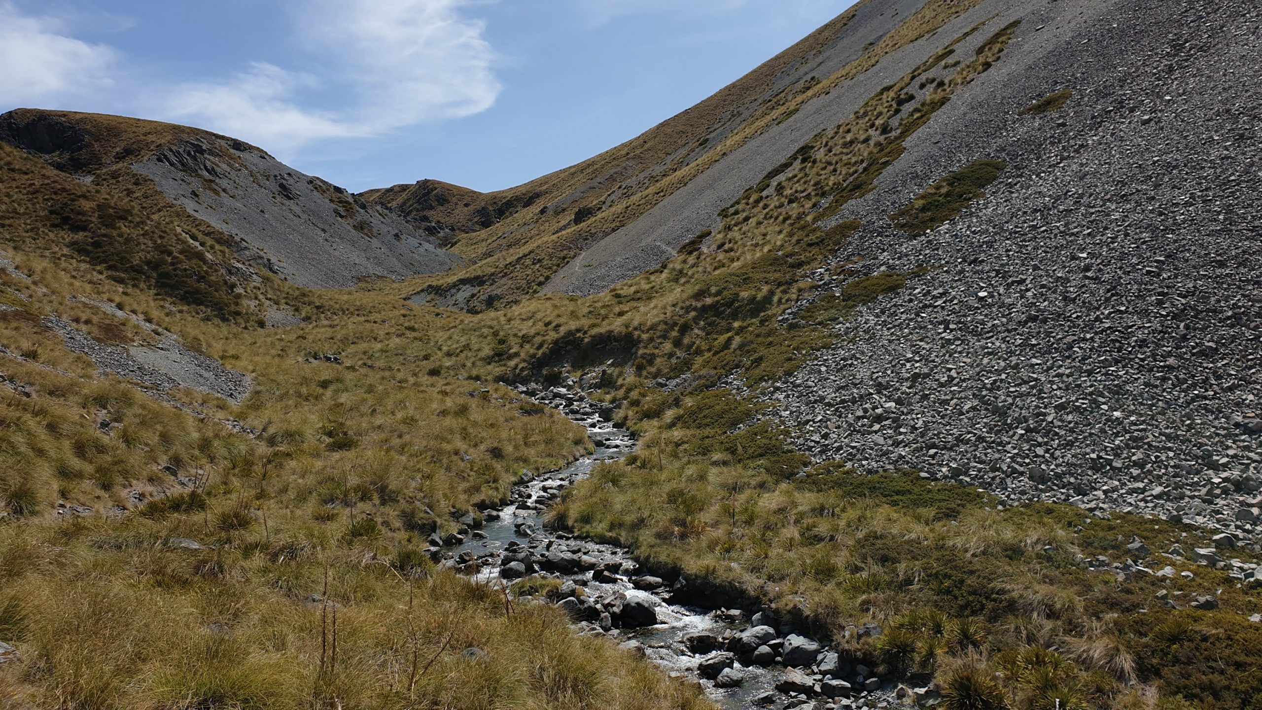
The track doesn’t have many pole markers and the path is thus often lost, then found after bashing through bush, swamps and across the East Ahuriri River. There was a tough descent into the valley and the walking surface, full of river pebbles wasn’t comfortable underfoot.
The ground got better in the last 5 kilometres or so , so progress was easier. After 5pm though I spotted a semi even, not rock filled place to pitch my tent , which I did. It was 1.5 km to the river crossing. I was pretty tired after 10.5 hours on my feet! I don’t know how people do 12??
Day 92
Km 14 approx
Cumulative Km 906
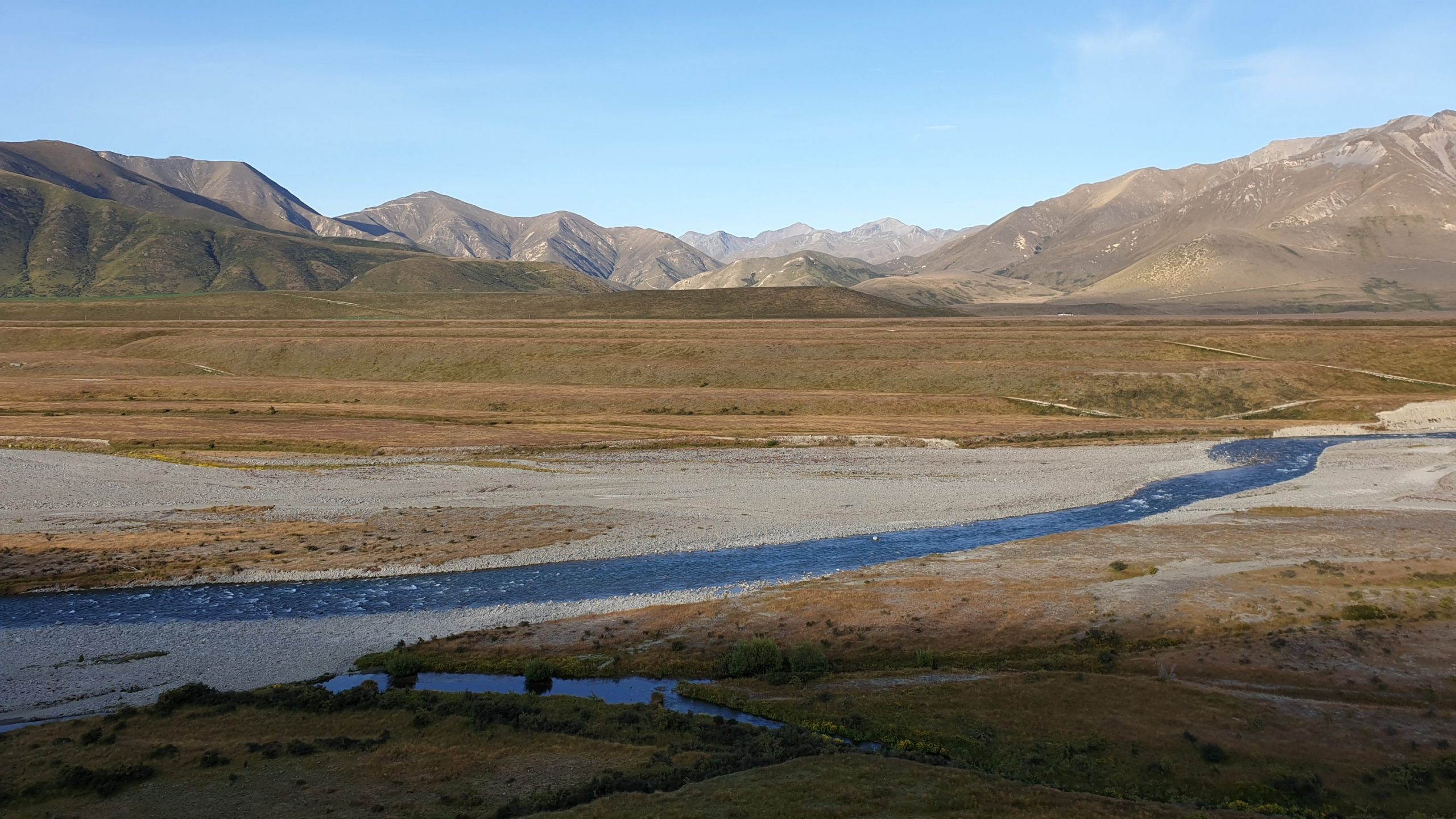
It was planned to be a pretty straight forward day , get up at normal time which is about 05h30, then hopefully catch up to some people who would probably camp before the river and cross the Ahuriri River together. It is the largest river crossing that we do on the trail and I have been waiting for this river level to drop. So I thought it would be all good.
I got to the river a little before 7am and met up with 2 French couples, one young and one older. They then started to tell me how they had watched numerous people cross yesterday evening and how much trouble they had doing it- very deep in many places and strong flows! I had a look for myself and yeah, it didn’t look great.
So I joined the French and we decided on doing the bypass- which is stated in the trail notes as approx 5km down the river , to Ireland Bridge, cross there then 5 km up dirt road to get to the parking lot where the next trail starts.
Sounds easy enough, though I wasn’t impressed with 10km extra, though- Safety First! Feet and legs later!
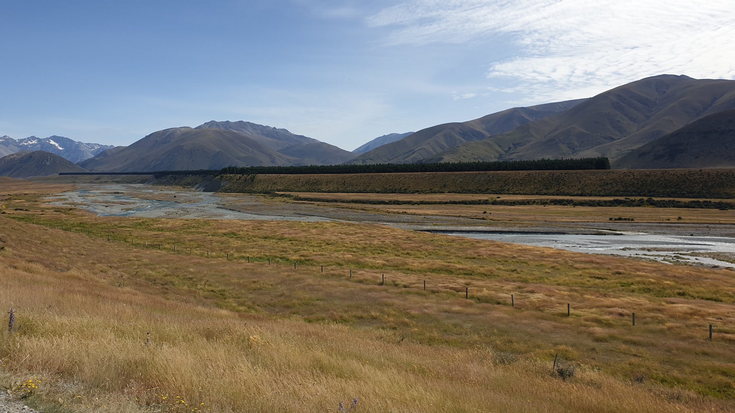
The going through the river bed was not pleasant due to the river pebbles and large rocks. Then we got to a high cliff with the same uncross-able river undercutting it. The French wanted to cross at the base of the cliff but there was pretty much no room and you would end up literally in deep, fast water if you slipped!
The other option was to climb up the cliff, a few hundred meters earlier , where it wasn’t 90 degrees and follow the river from above, where there was a pine forest.
A steep climb got us there and by climbing over a fence or two, my topographical maps on my phone and making many plans we eventually got to the bridge at 10h00. It was another 2 or so hours walk to the car park .
I had had enough and there was no way that I would make it to the hut today- 23km away. So I called it a day, set up camp early, did washing or rinsing and had a wash myself.
I then lay under shrubs during the afternoon to keep out of the hot sun!!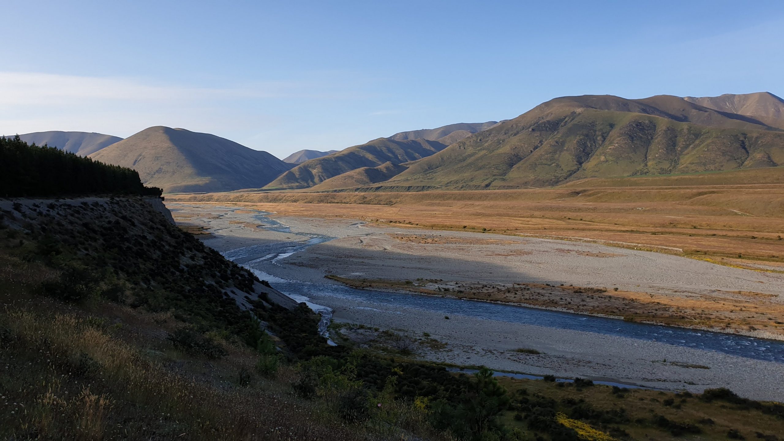
Day 93
Km 21.5
Cumulative Km 927.5
I camped with a full day section ahead of me and headed out early as I seem to be doing. The going wasn’t bad, though uphill it was on a 4WD track. About 3 hours later I got into the private hut, where I was surprised to see the 2 Germans- Matthew and Norman- that walked passed my tent the day before. They were in the hut after 9am still!! We caught up and I saw them late at the next hut.
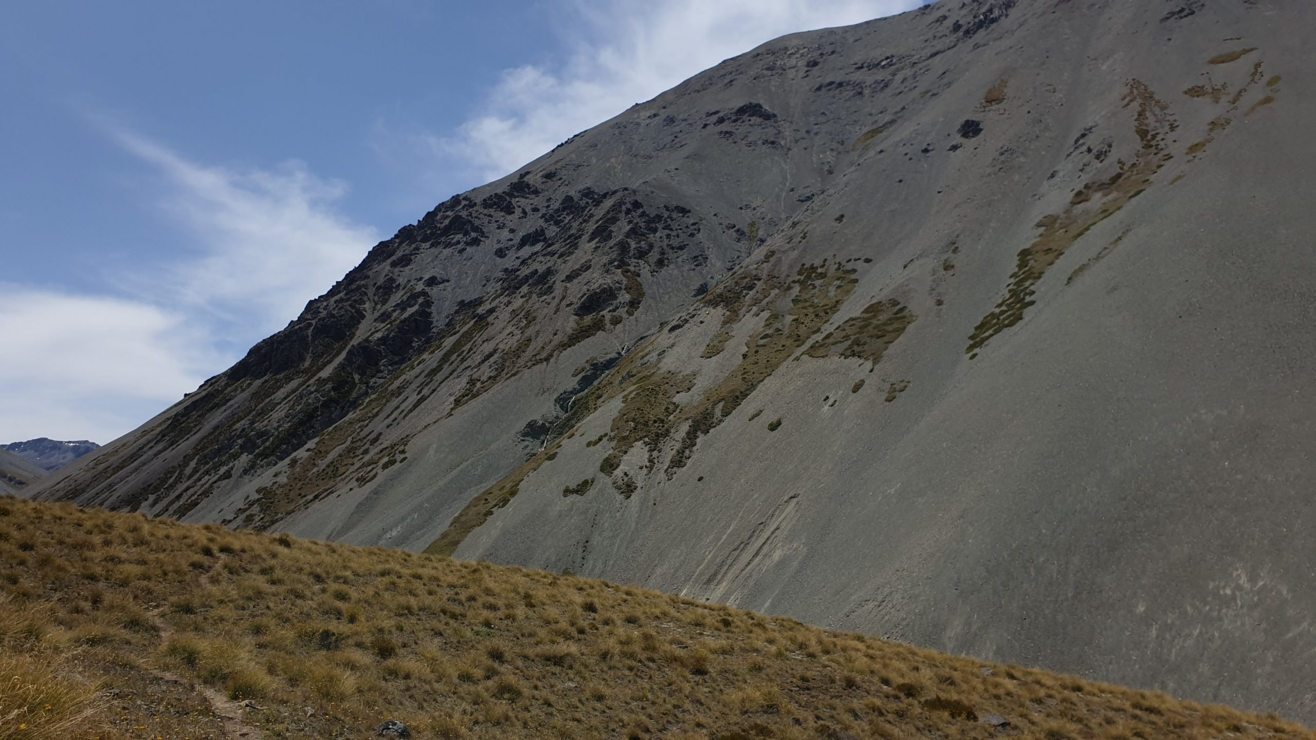
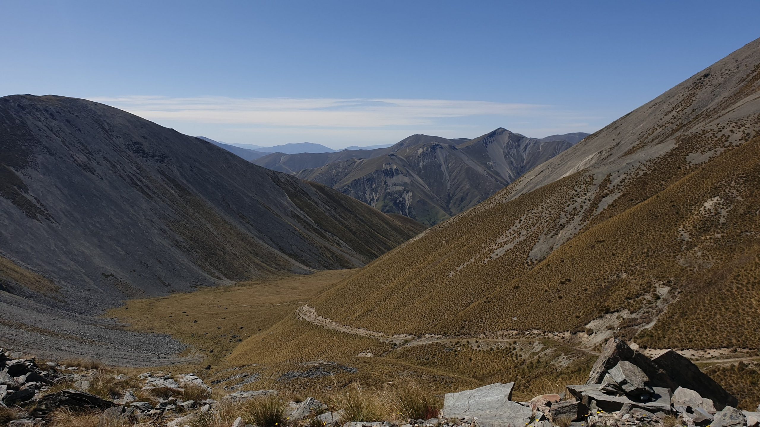
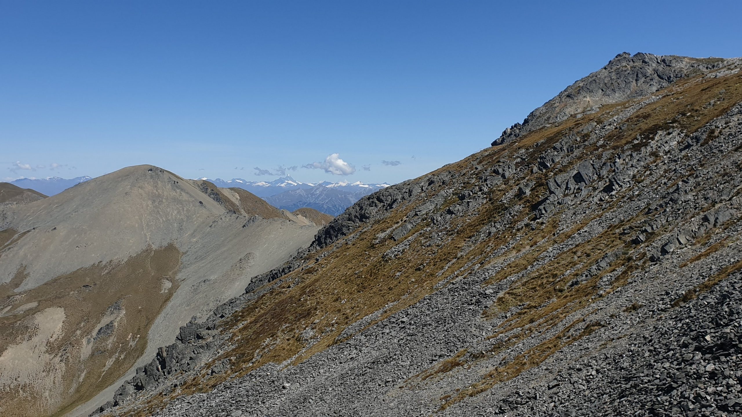
The highlight and most difficult part of the day was getting up to Martha’s Saddle. It is at an elevation of 1687m. I definitely felt the altitude as I made painful slow progress up the rocky mountain. I also got a groin strain of some sort in the last 2 days which meant that I didn’t have full range of motion in my left leg. Yes, it is the leg with the Achilles injury too!!
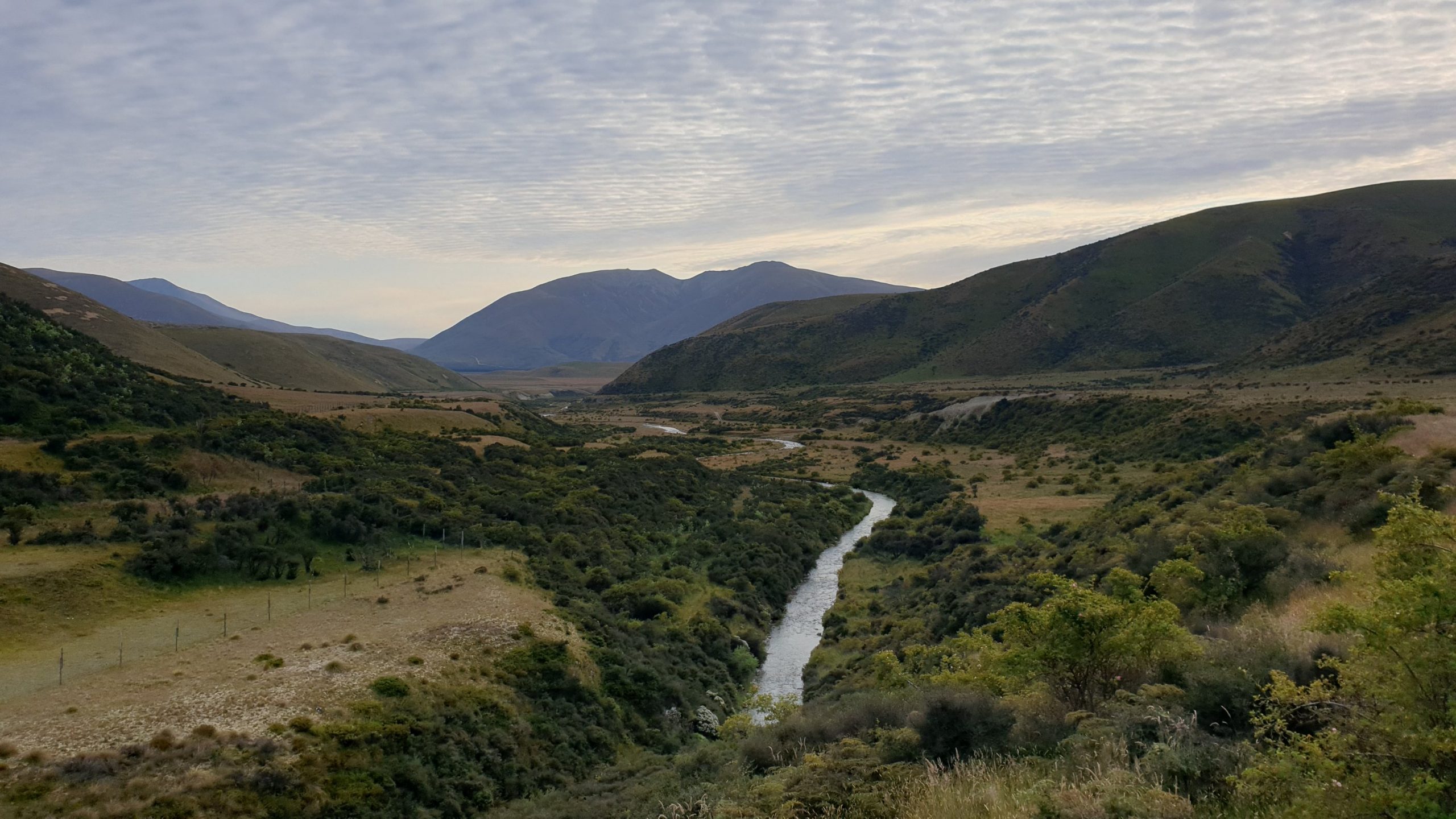
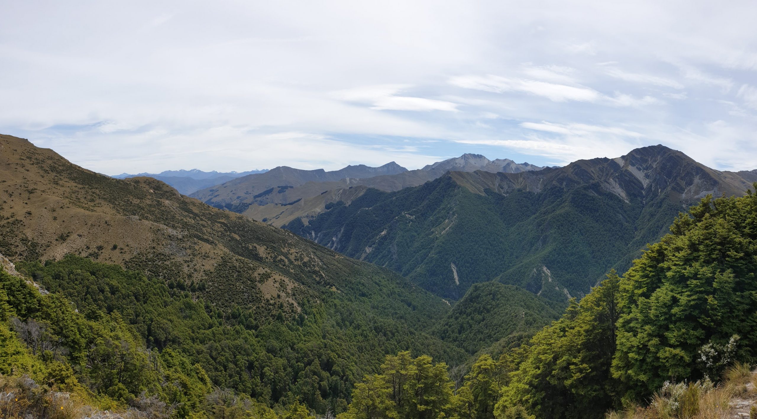
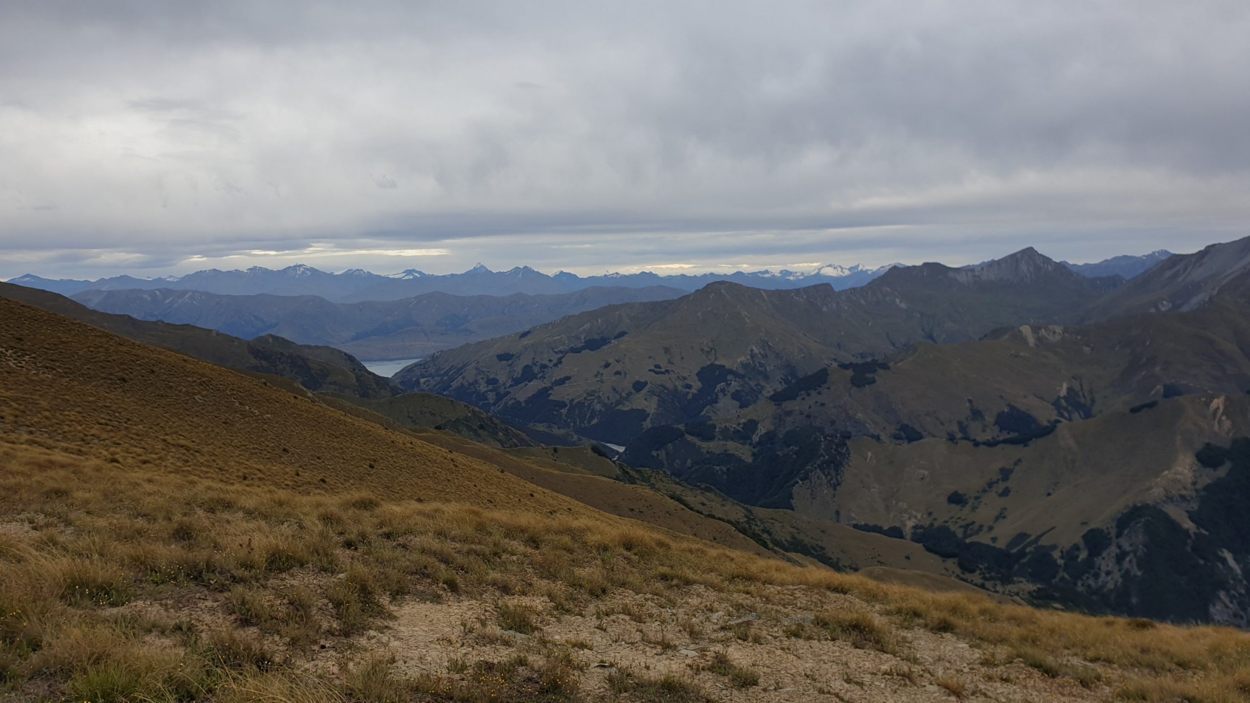
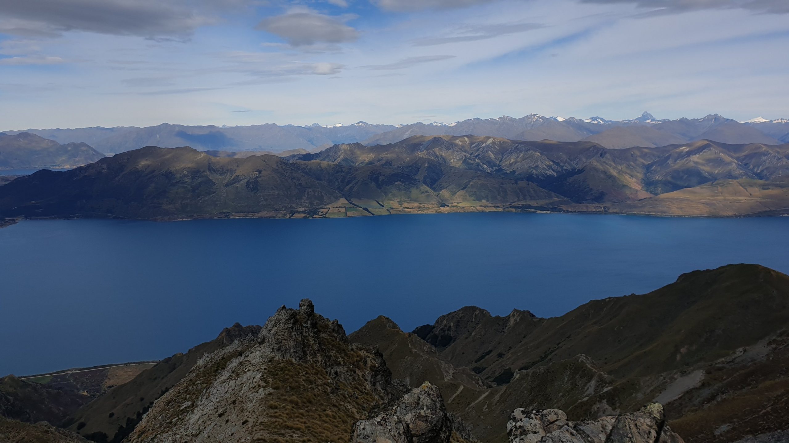
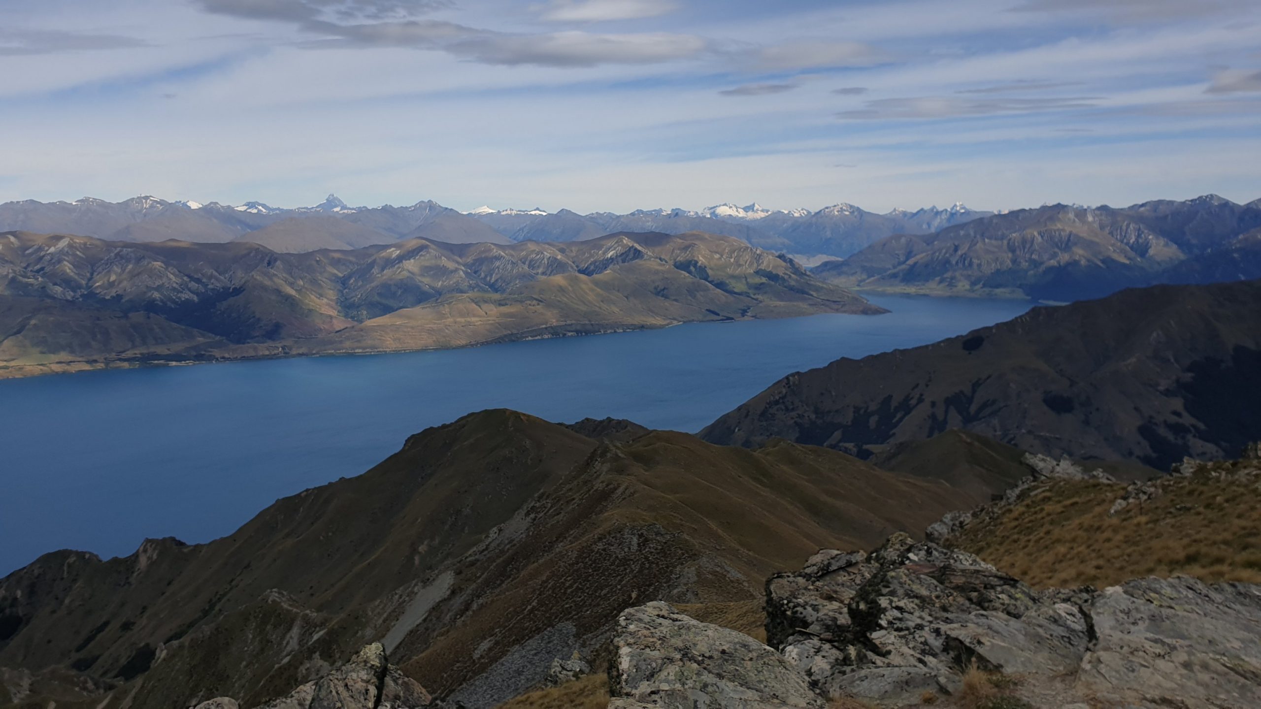
The view from the top was incredible though, you could even see Mount Aspiring in the distance.
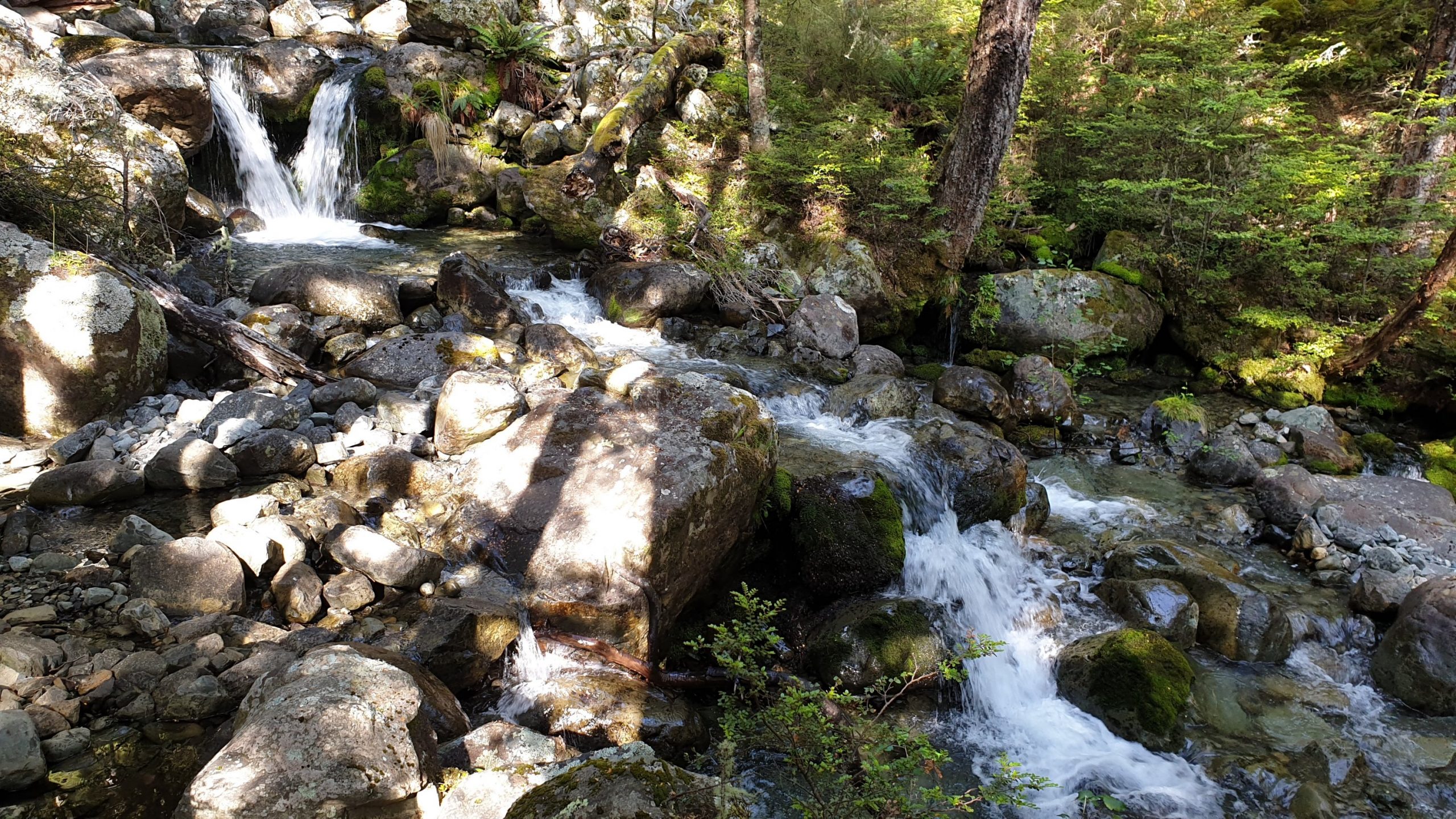
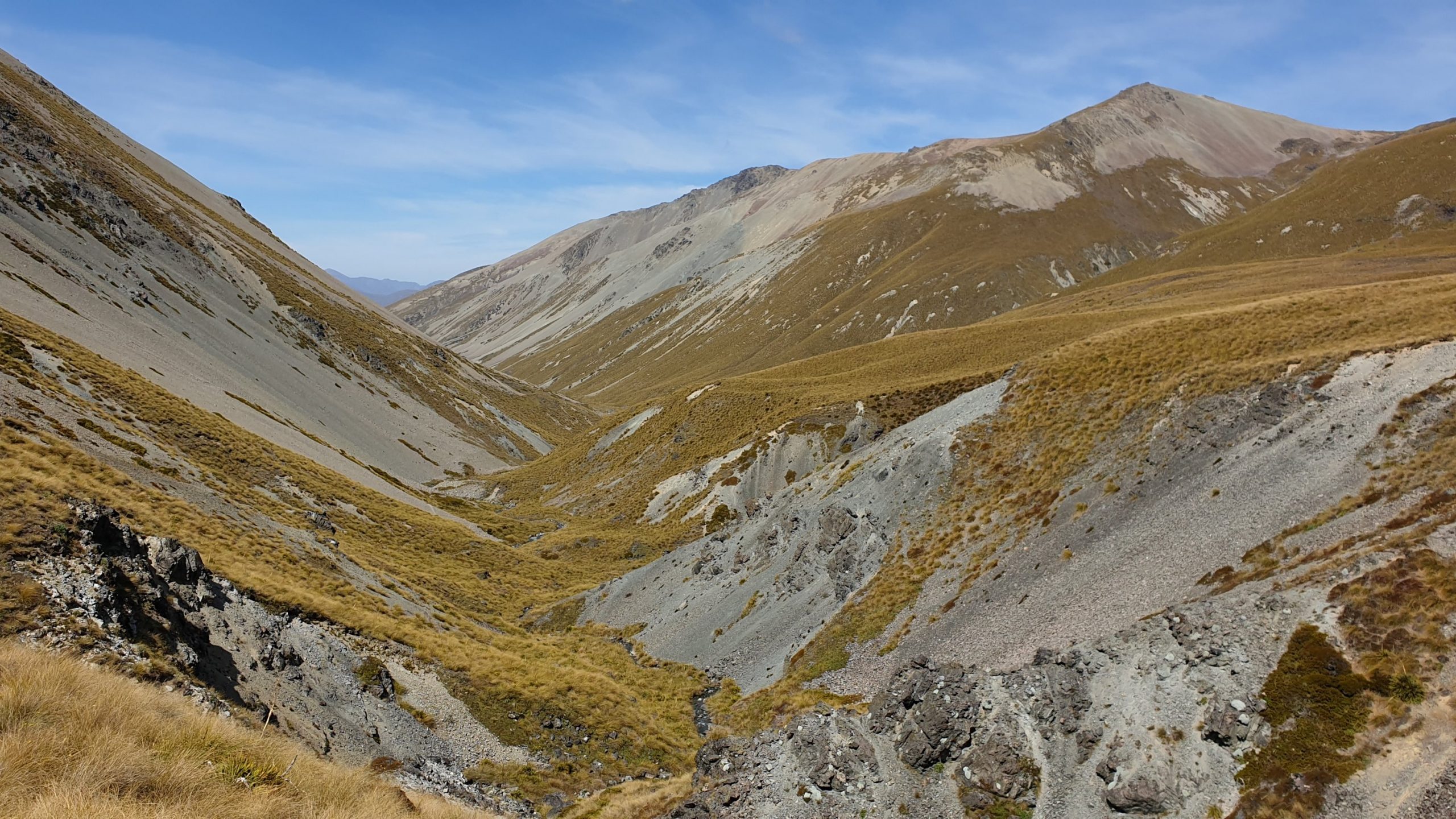
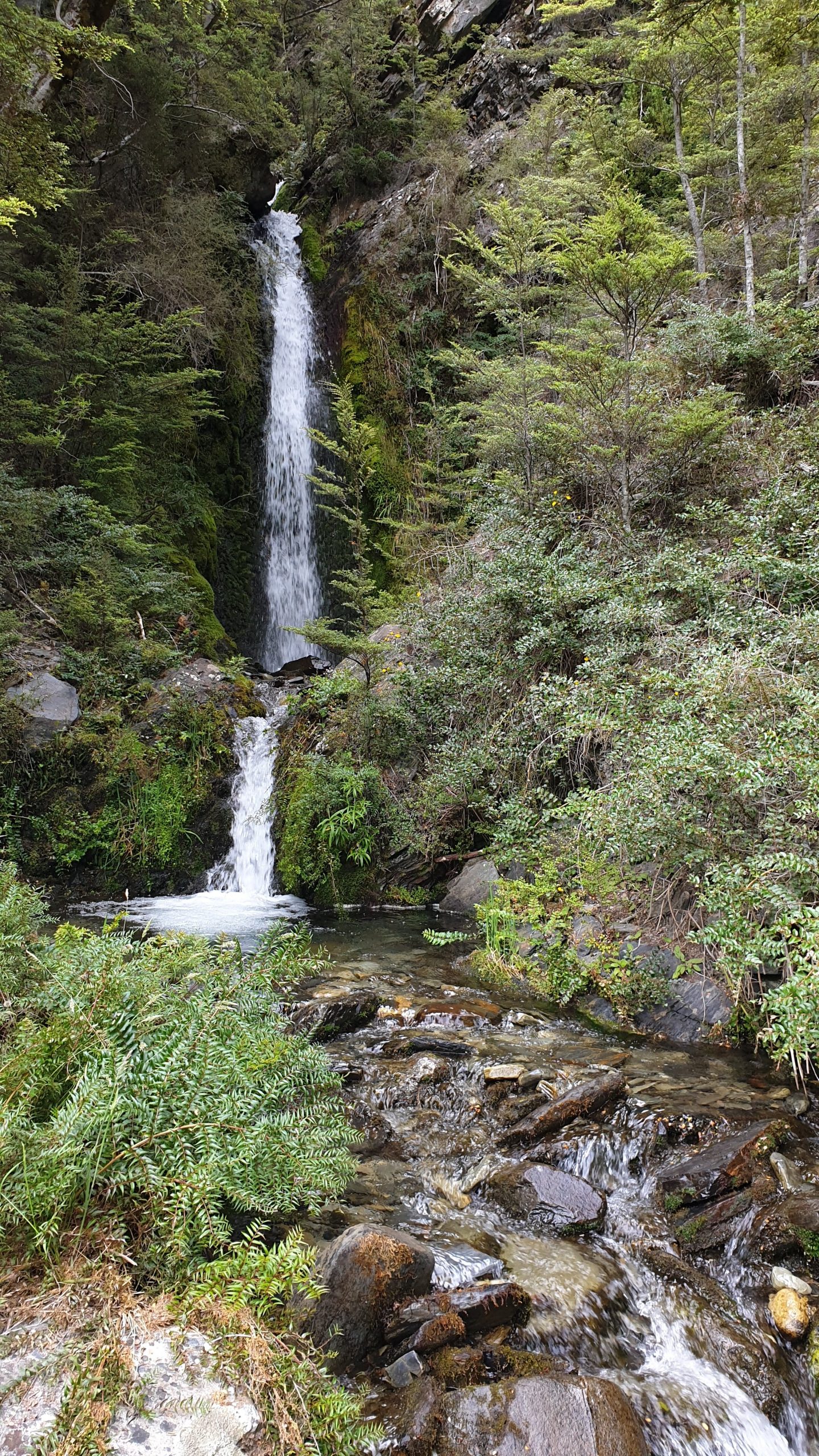
The way down took me 3 hours to the hut, an hour over the recommended time. It was a long way down as you can see from the photos! The valley was also interesting with a cascade waterfall that was impressive. The sides of the valley were also impressive.
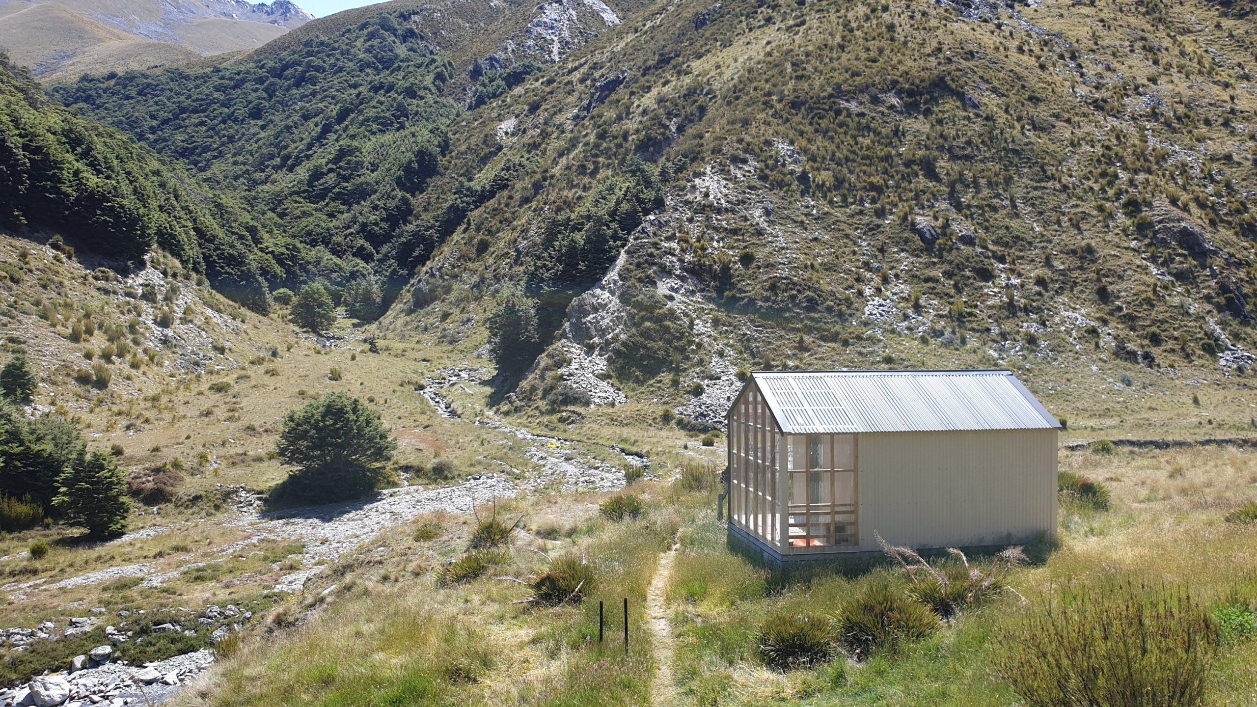
I was so happy to get into the hut , dump my bag and go for a swim in the river as it was so hot and the last few days there has been zero shade! The swim was great, went fully clothed to get the clothes washed too! But the damn sandflies were eating me alive so I went up to dry.
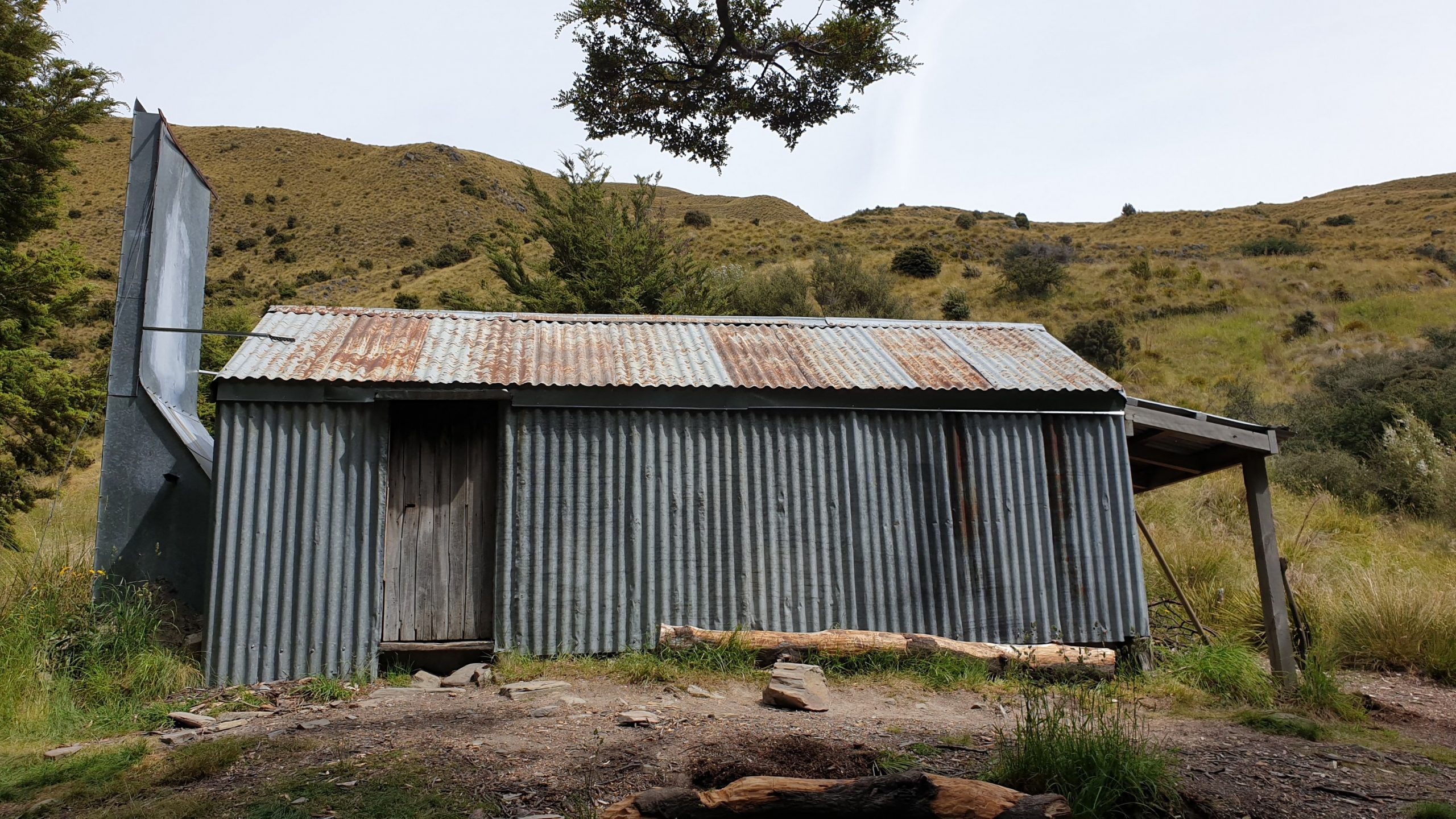
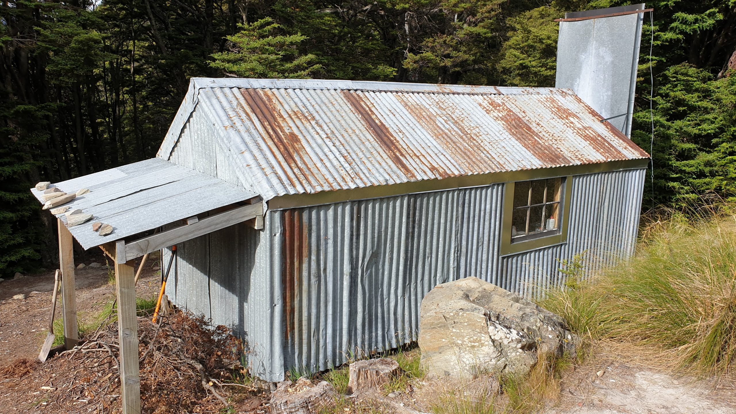
The hut- Top Timaru – is nice and new but had no ventilation which made for a stinking hot night , with no sleep 😬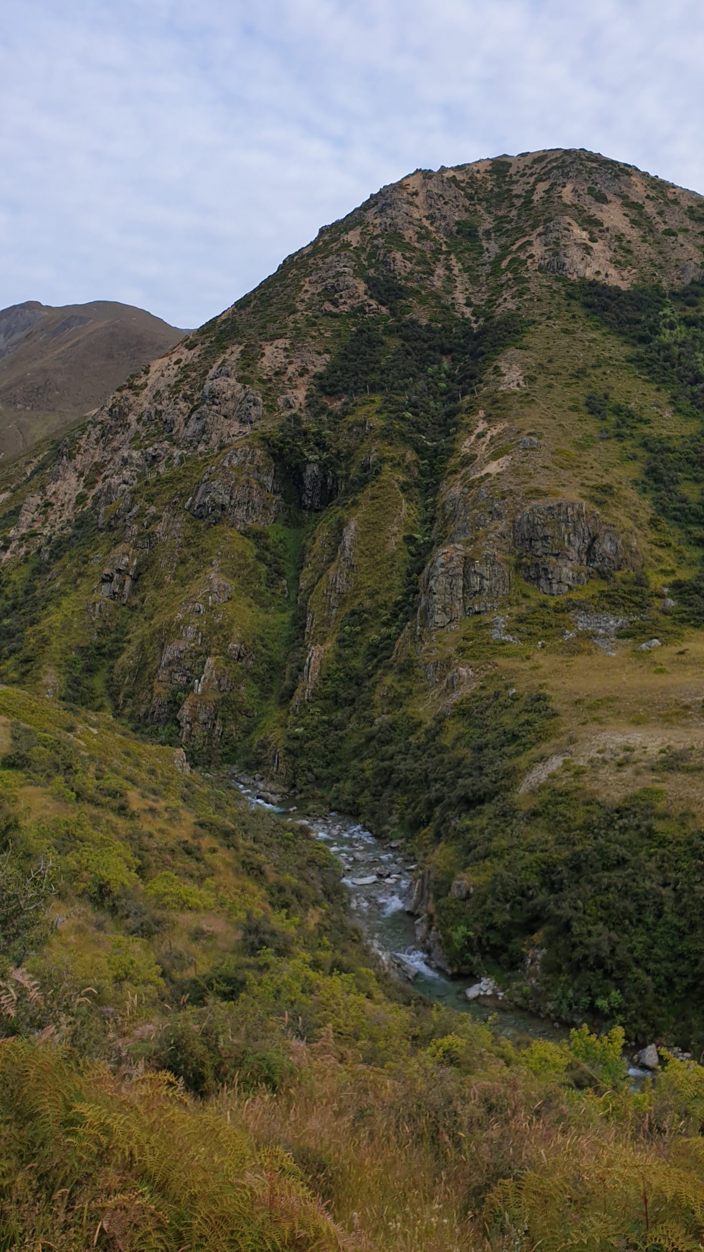
Day 93
Km 13.5
Cumulative Km 941
I knew that the short distance with a recommend time of 7-8 hours meant that it was going to be a tough day!
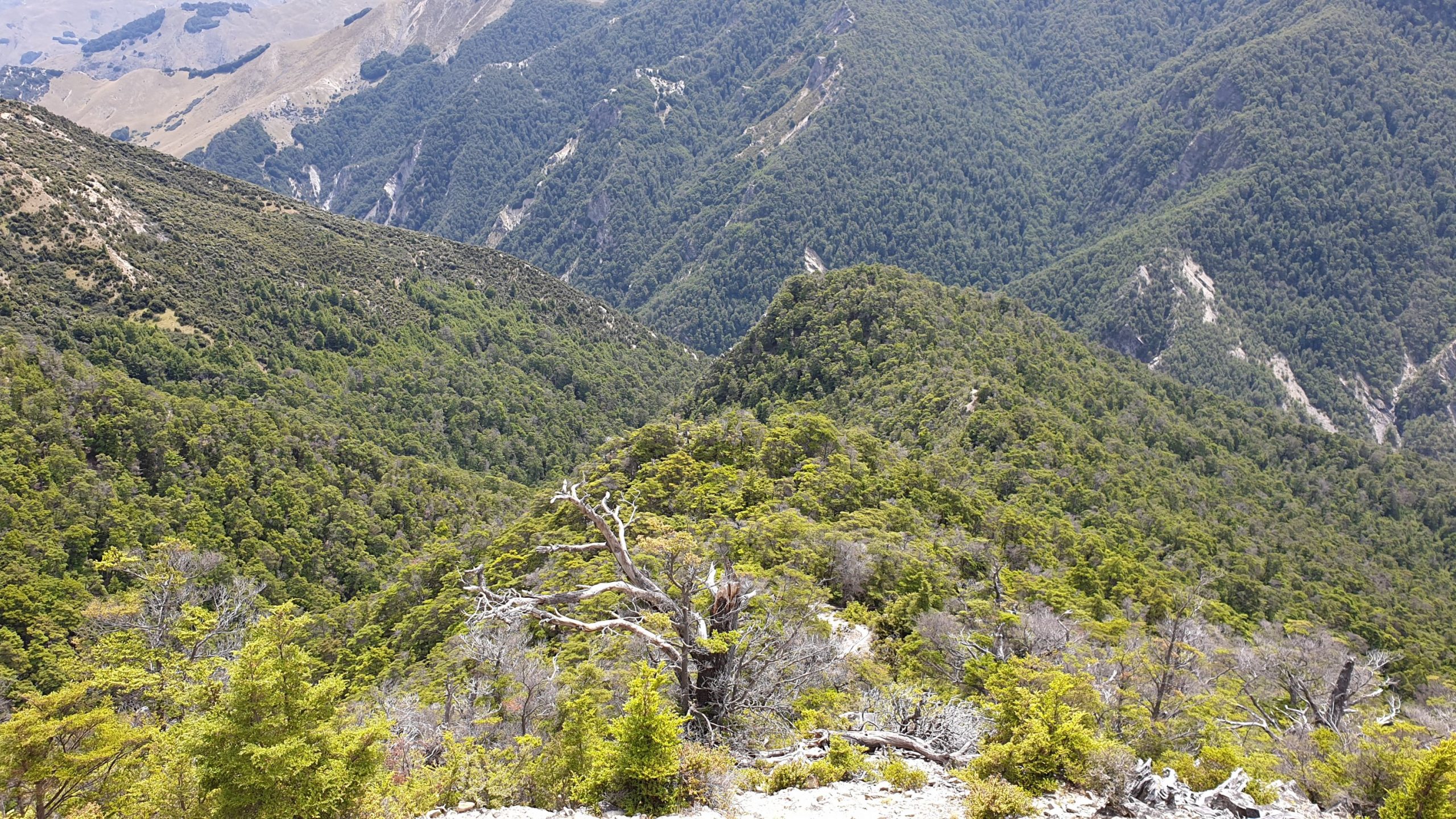
Progress was pretty much 2km an hour. The trail was along the river and crossing it many times. The valley was steep though and many landslides had occurred, which we had to bypass. The trail thus went up and down and tiny paths hugged the steep slopes! Some portions were real scary!
My strained groin was taking a beating in crossing over so many big fallen trees.
The finale of the day- after 6 hours of tough walking through the forest- was a 500m ascent! It was very tough and steep , slippery going. It took me just over 2.5hours and multiple organ failure several times!!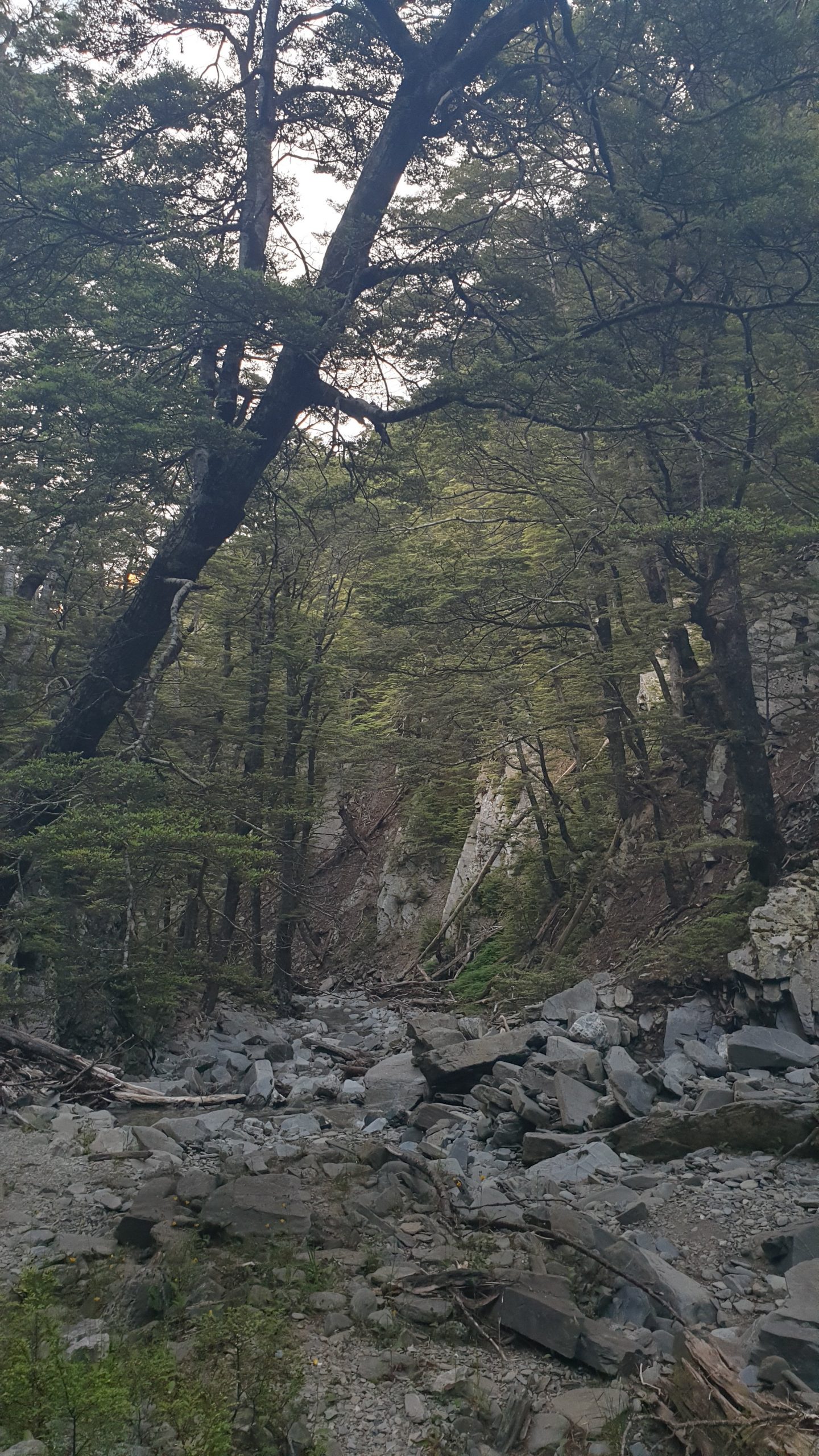
Day 95
Km 18
Cumulative Km 959
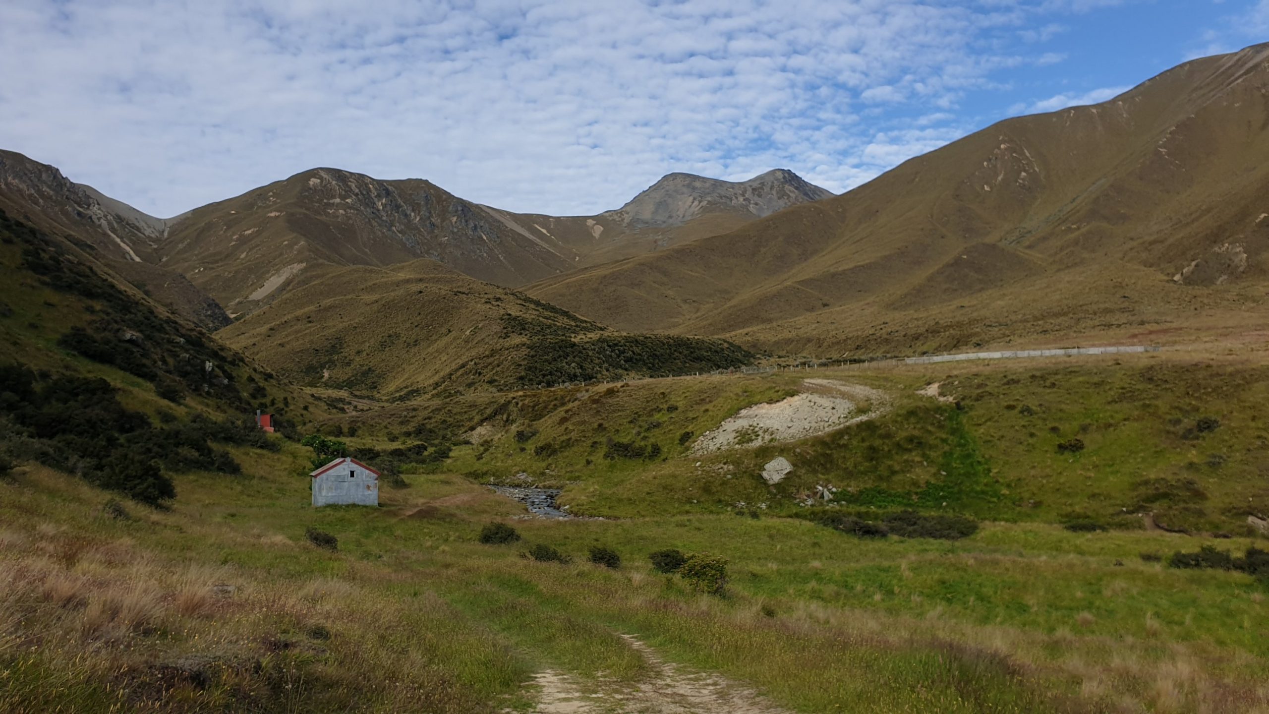
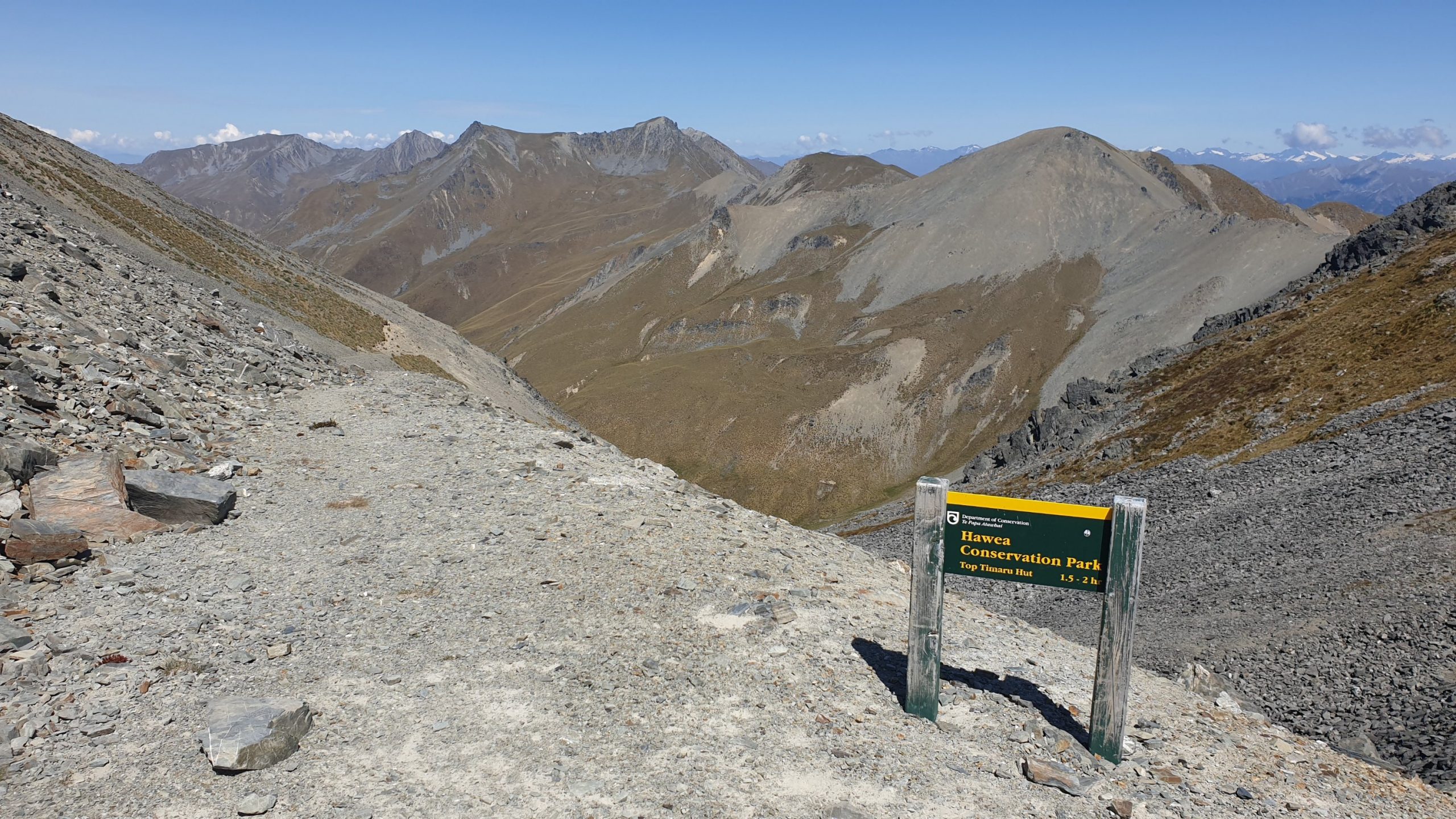
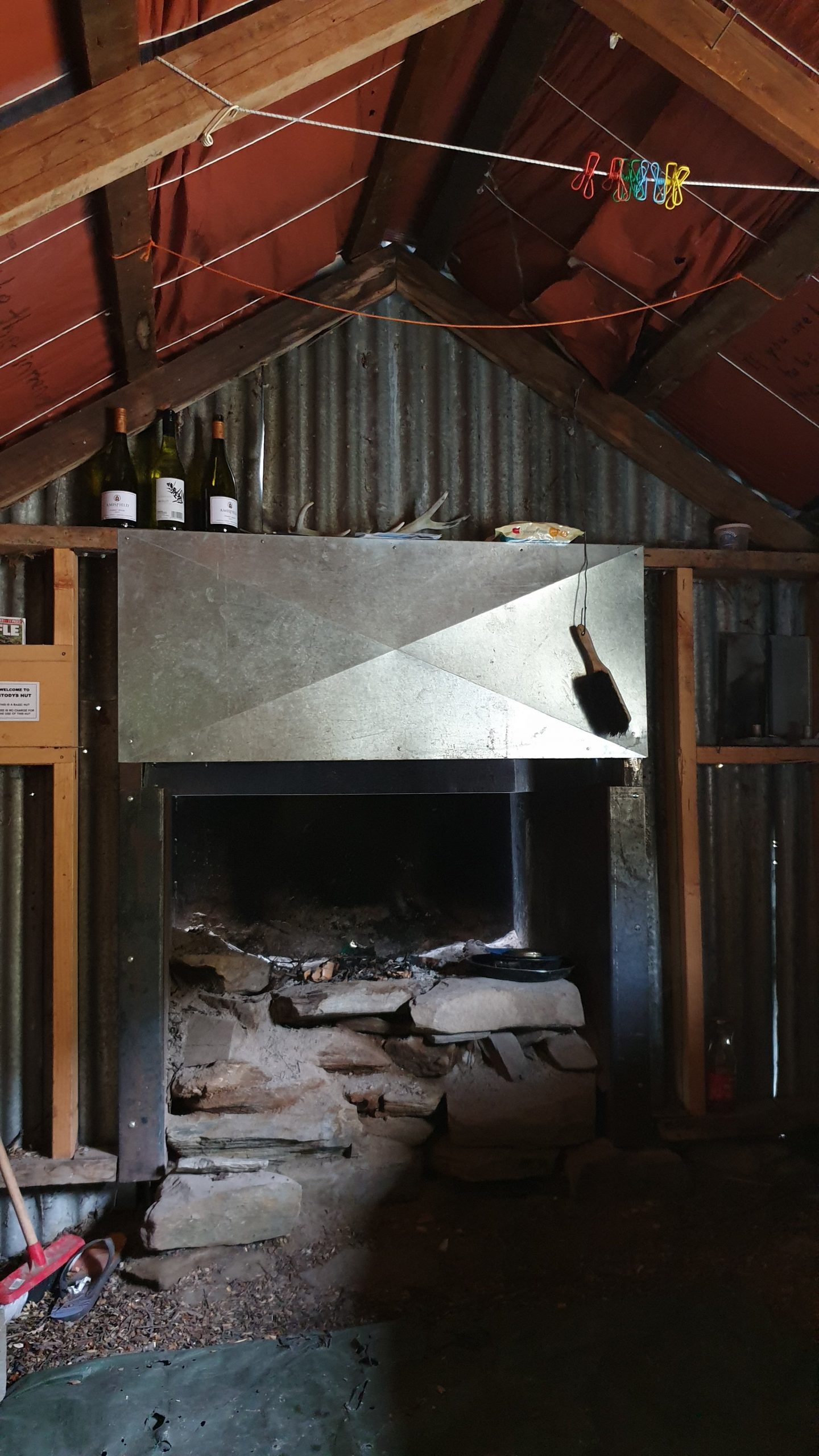
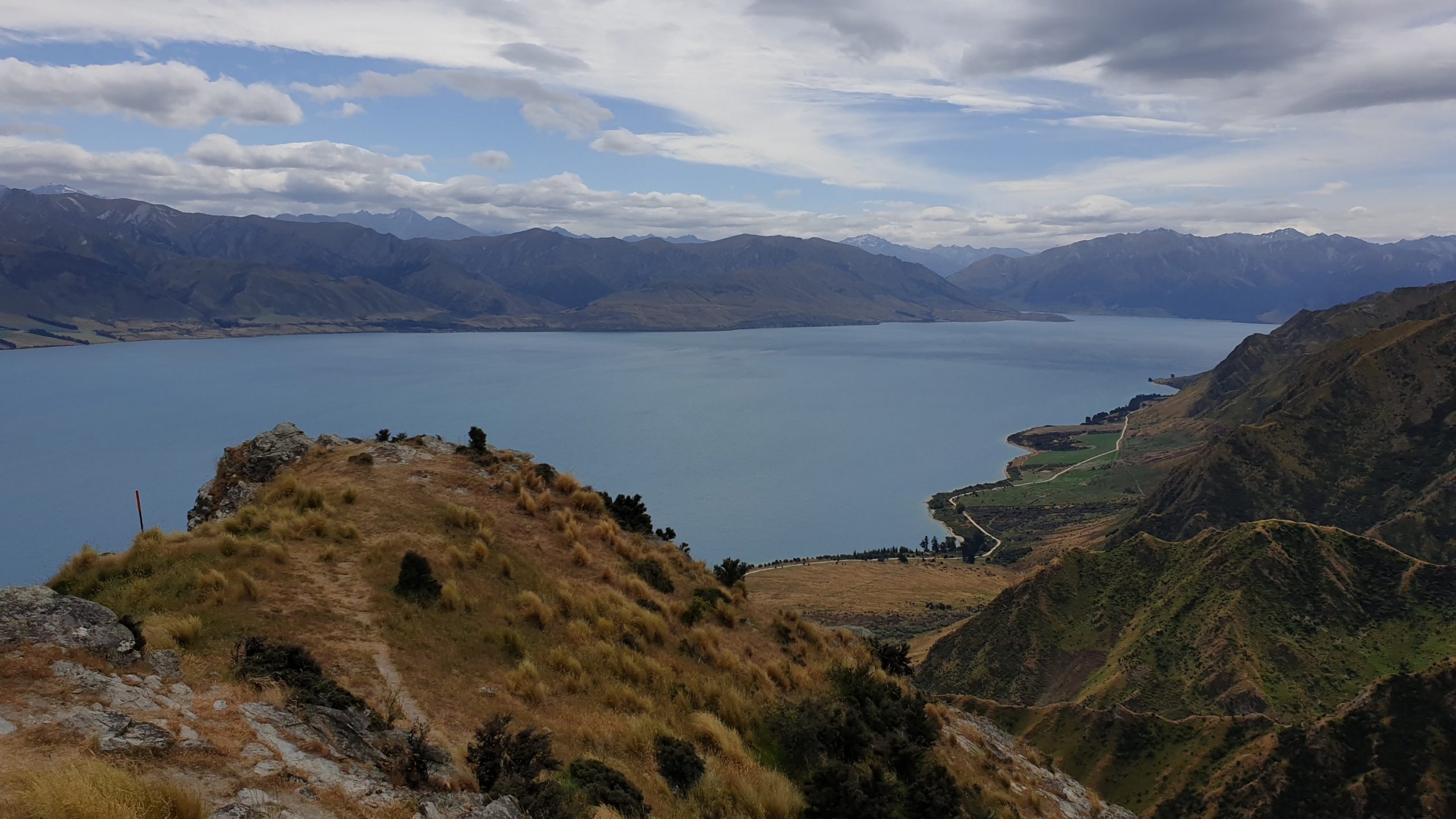
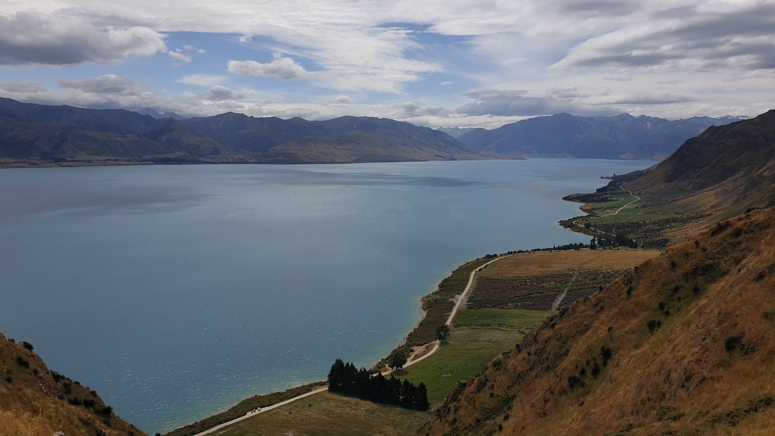
The night in Stodys rustic hut wasn’t bad, despite the reports of mice. It cooled down in the evening, so much better sleeping conditions than the last hut. It was going to be another tough day of descent later in the day but I had noted an alternative 4WD track that could be used to get to Lake Hawea, so I decided to try that option later in the day.
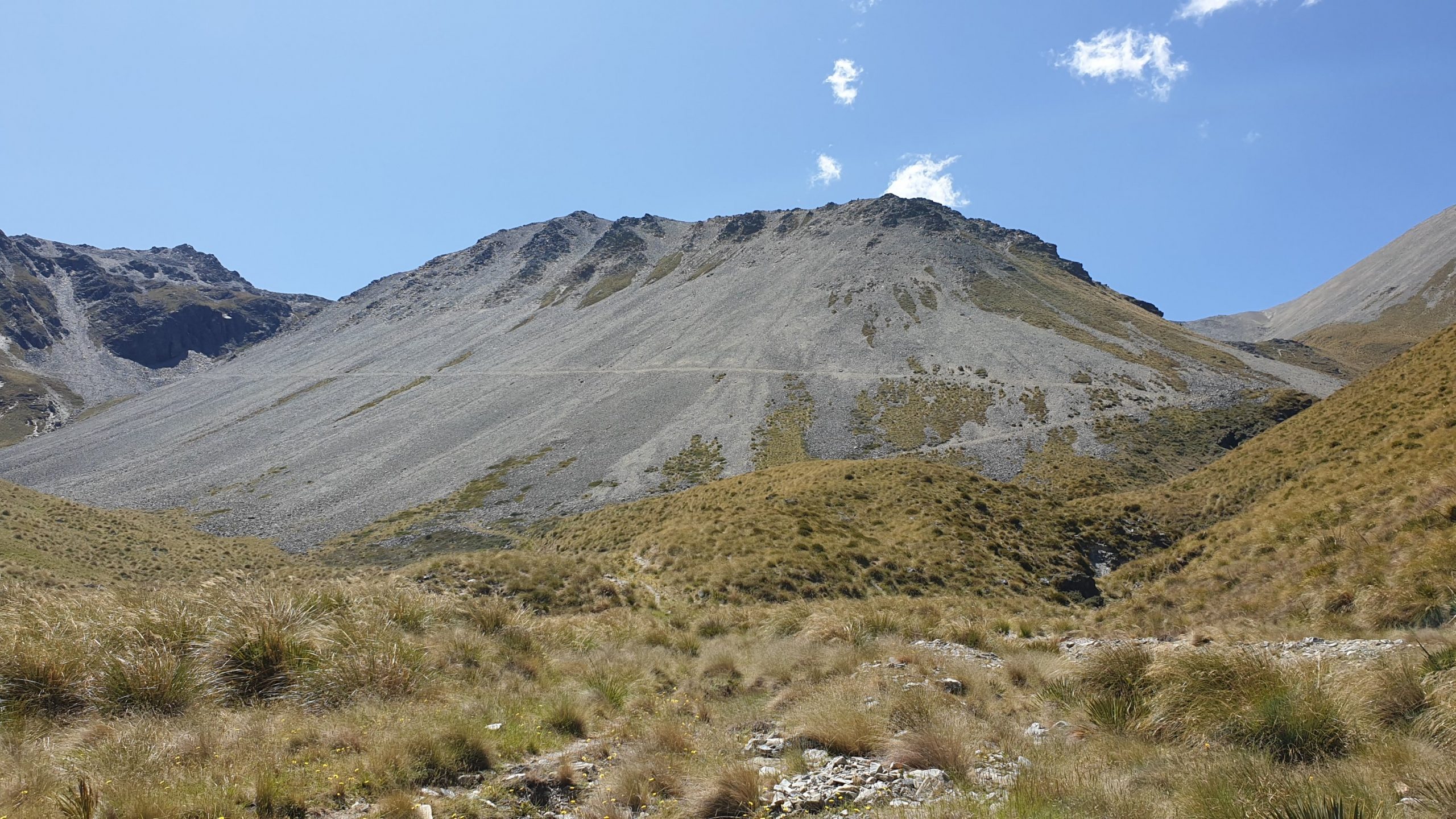
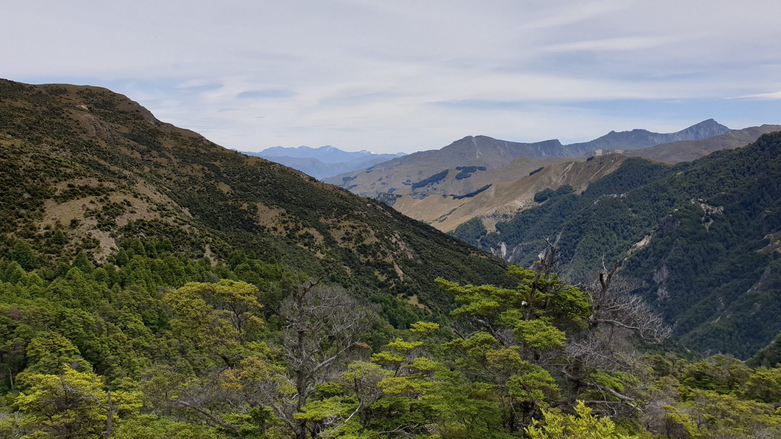
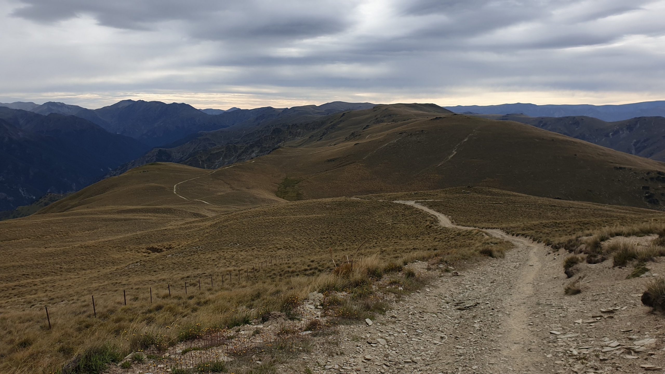
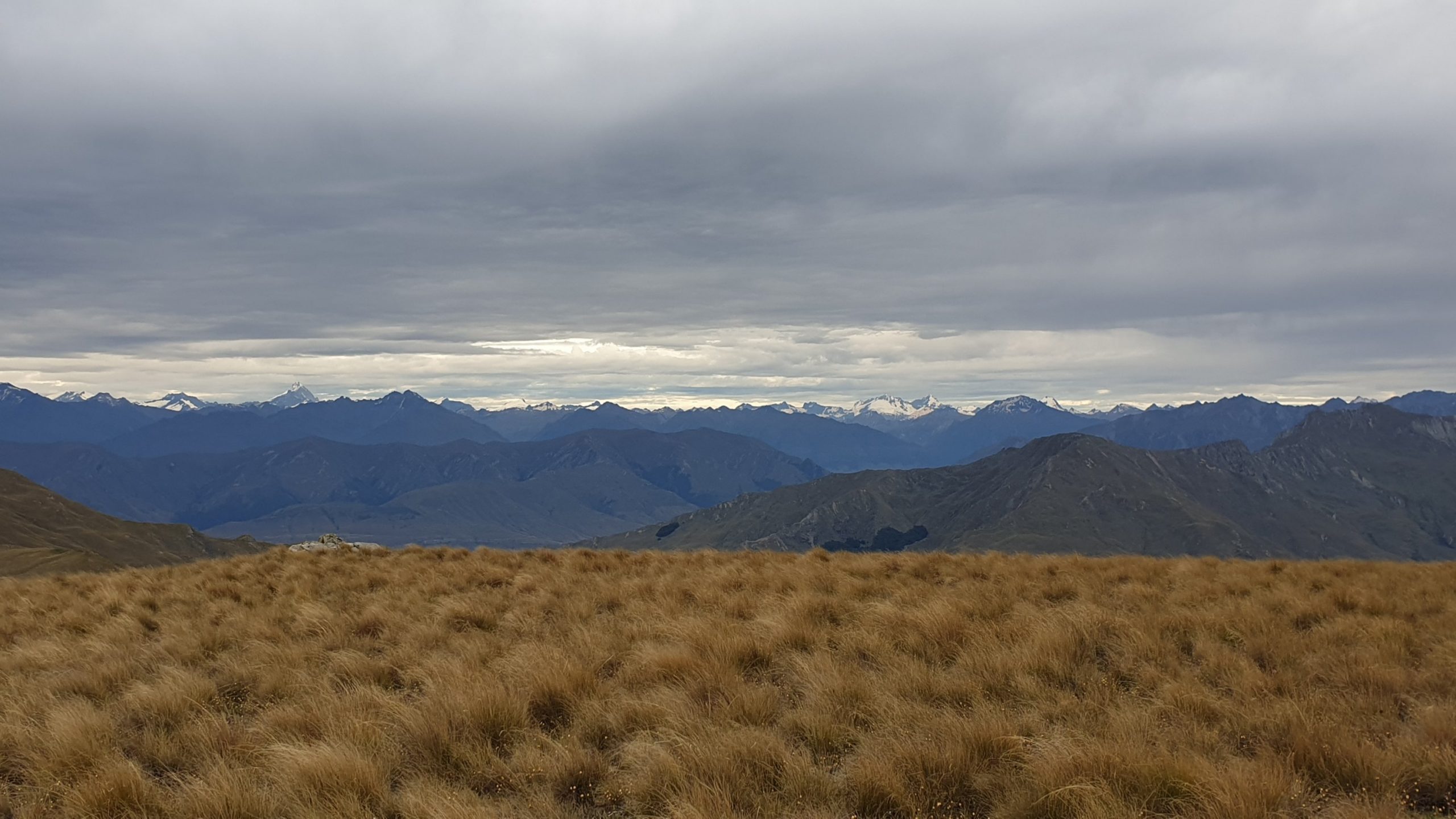
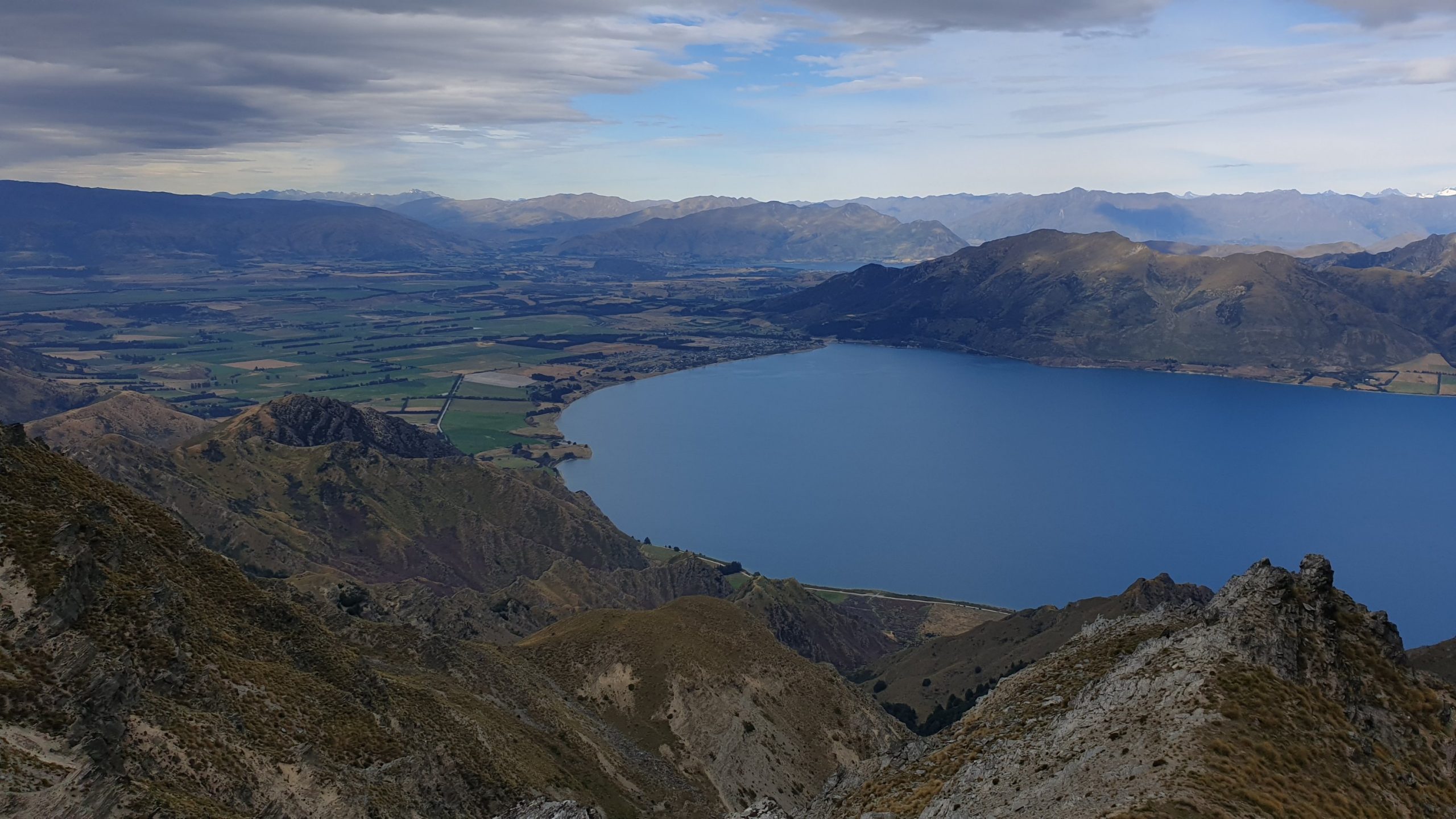
The trail from the hut to the top of Breast Hill is all 4WD, so it’s not difficult. It does climb for a while then insulates until the last climb to the top of Breast Hill. The views were amazing though! Alps for Africa , so to say 🙂. It was also a little overcast and windy , which made walking a bit more pleasant than the previous hot days.
The view of the lake and Hawea flats was stunning from the hill too! The walk down to Pakituhi Hut was along the ridgeline, but most of the time not too close to the edge. The hut is a modern, 8 bunk hut which was good to have lunch in and a little rest as well as water refill. I set off before 1pm to make my way to the 4WD track. After some 20min I got to a locked gate with signage that its private property and no access is permitted. With disappointment in my heart and pain in my groin I knew that I would have to go back and do the hard core trail down.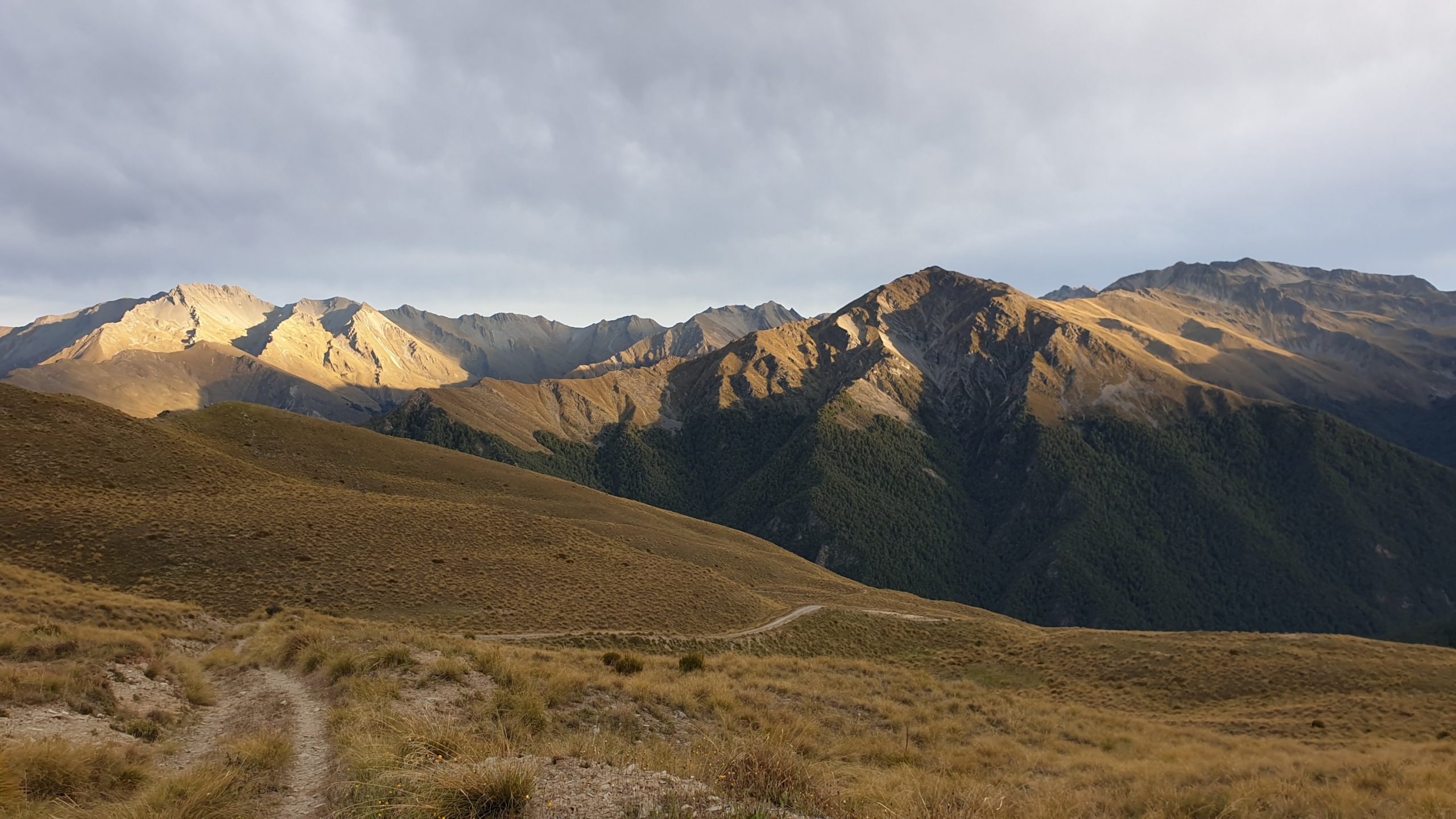
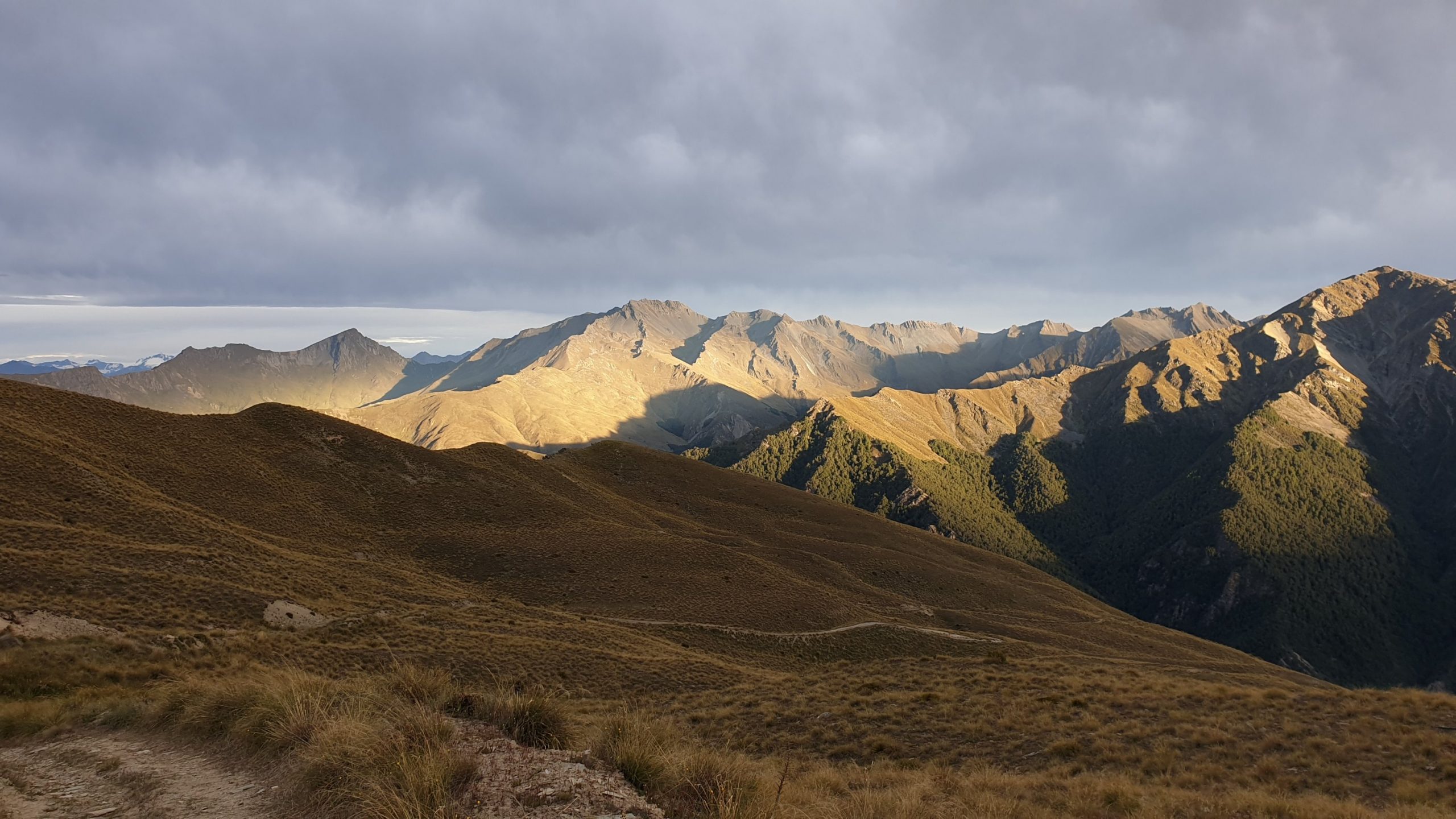
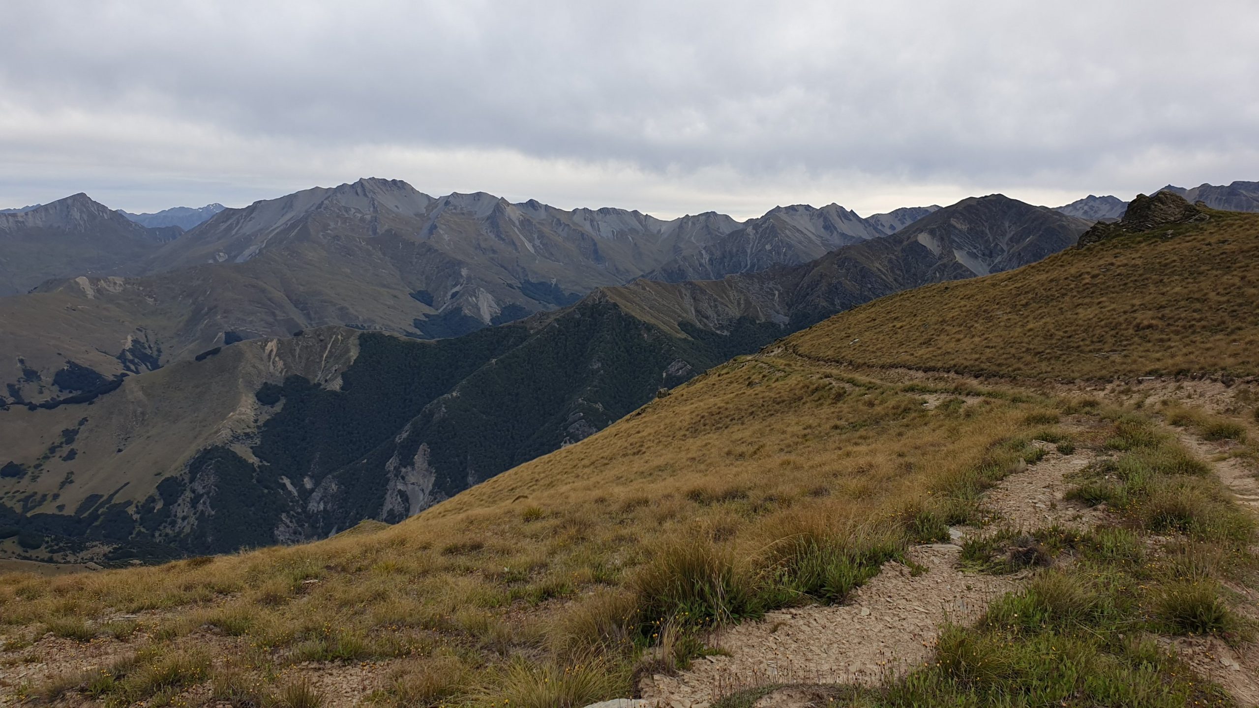
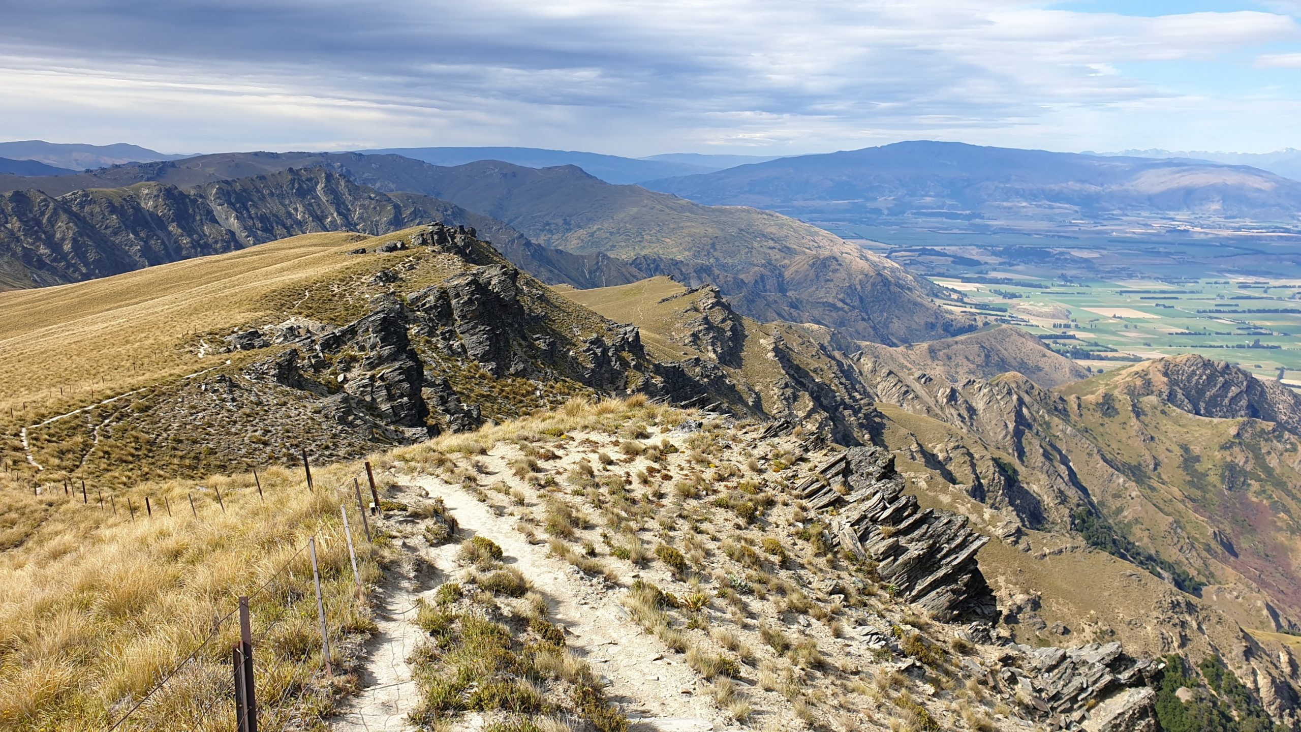
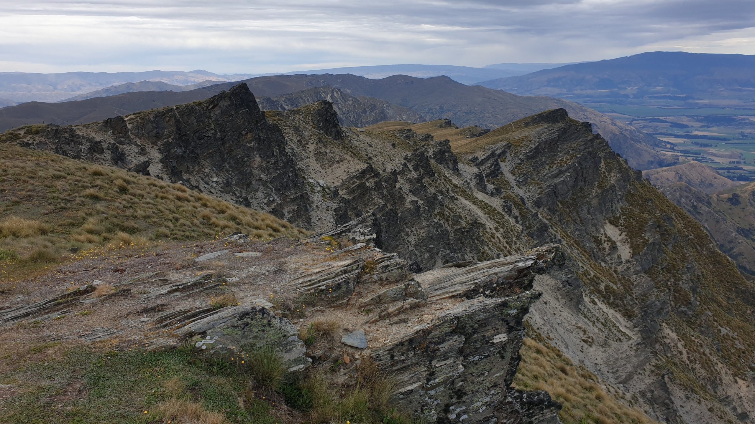
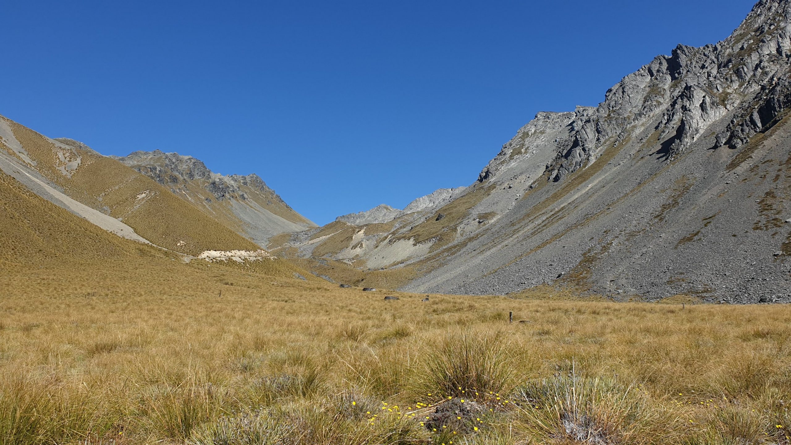
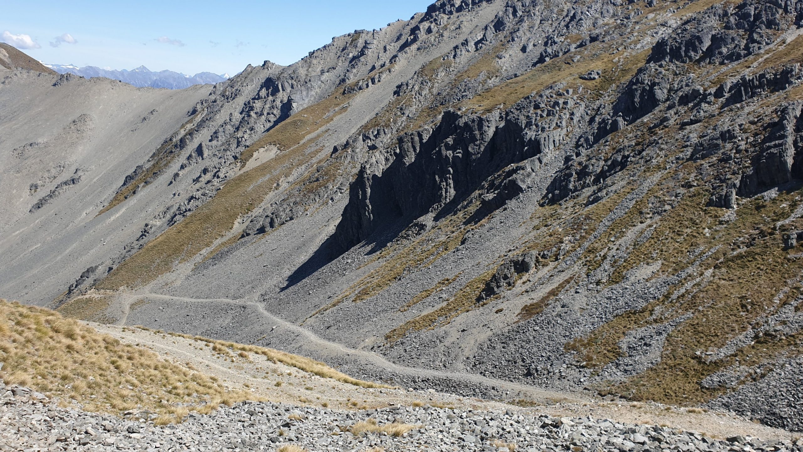
The trail down was intense!! Very narrow, steep, slippery in places and some bits that required some rock climbing or clambering. I actually saw it from the top of the hill and wondered which idiot would ever walk there??!! It also ran right along the ridge line with steep drop offs on both or one side. It was 2.5 hours of knee busting and adrenalin downhill that I wouldn’t wan to repeat!
The one thing that I was looking forward to was a pick up from Sarah- a friend of Vasti’s – who was nice enough to have me for a few days.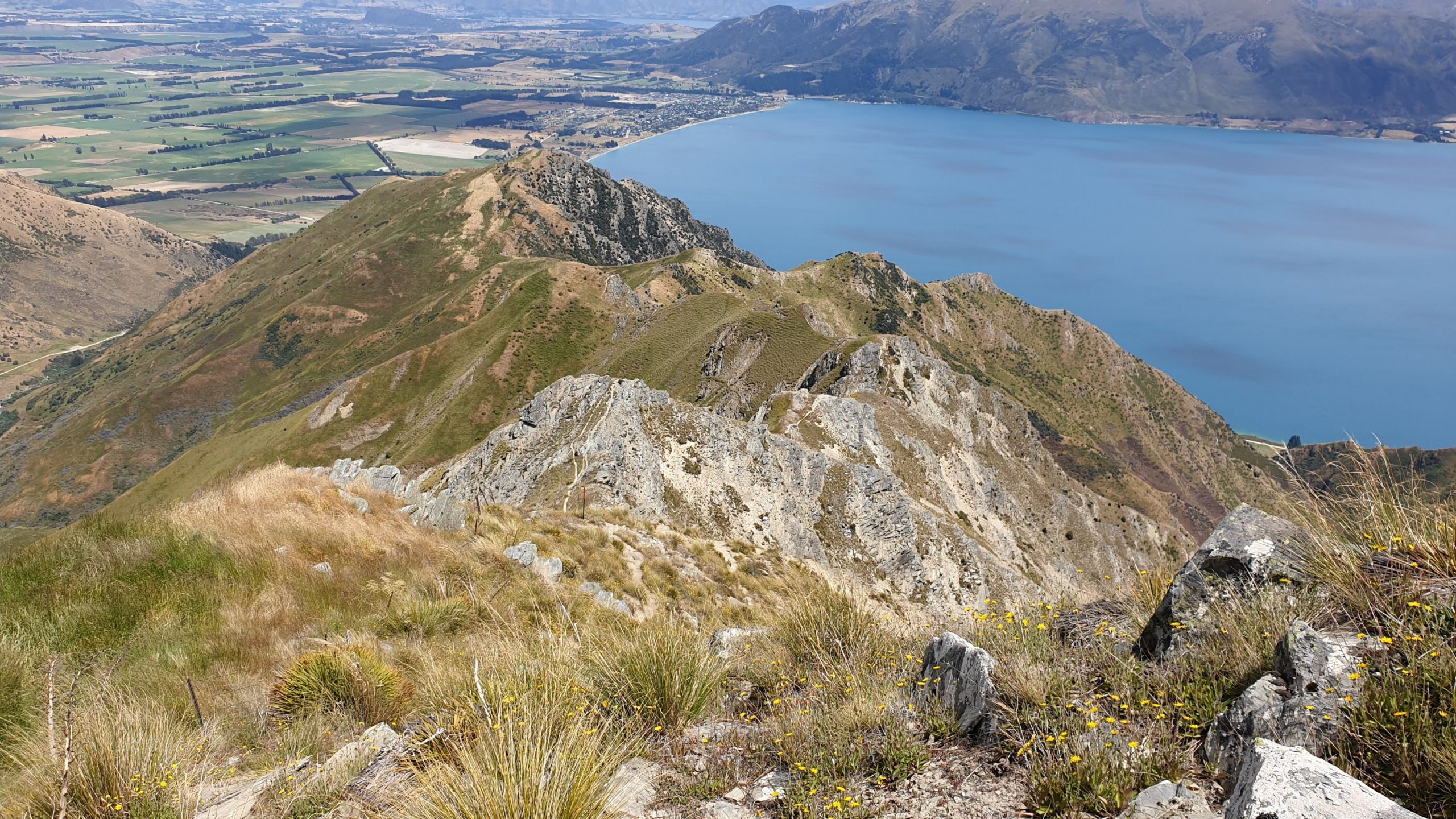 Spot the trail along the ridge
Day 96-
Km 0
Cumulative Km 959
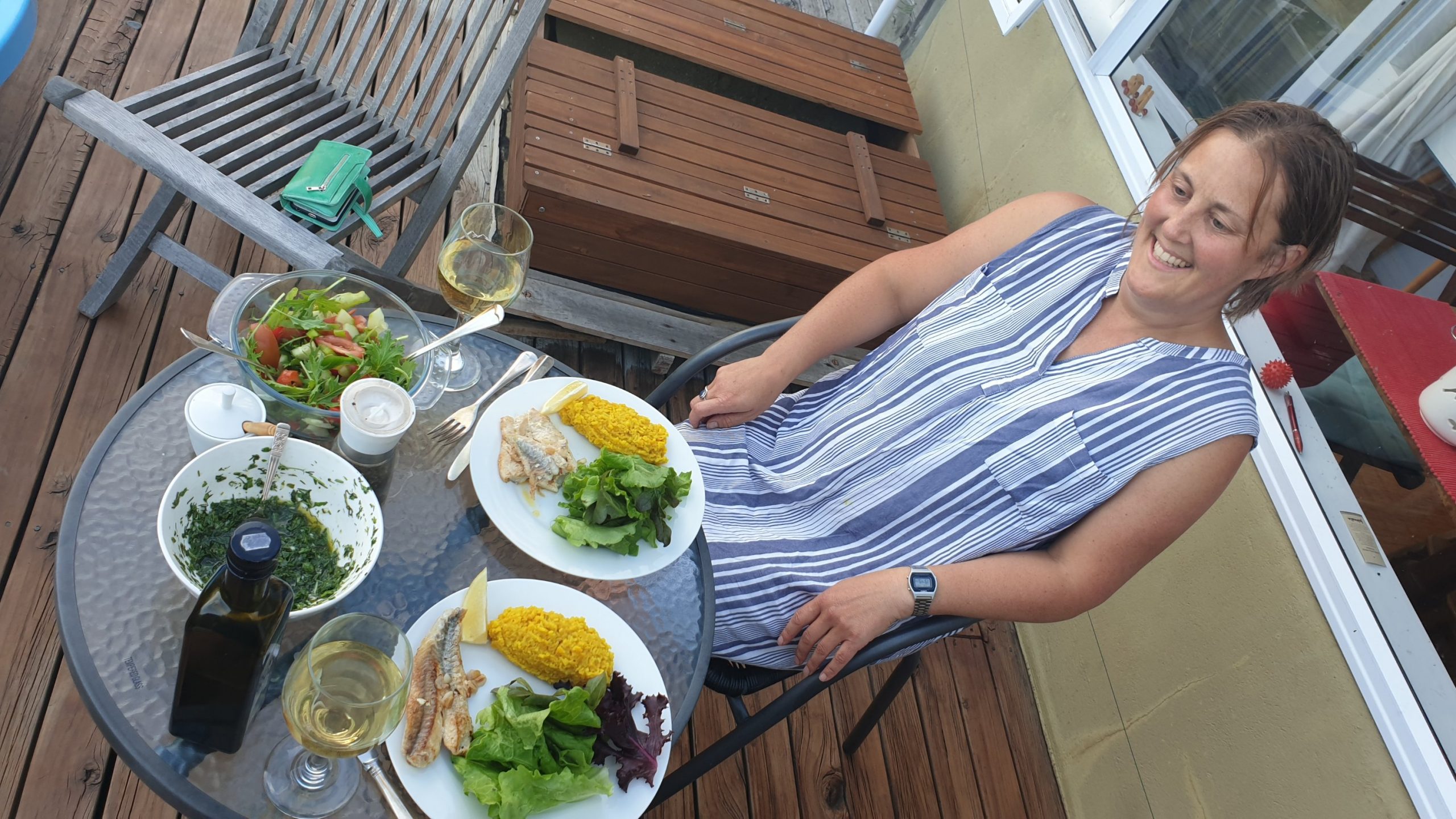
Sarah was due to be going to Wanaka a few times this week and I thus planned to meet the physiotherapist a couple of times for the groin, which helped a lot!
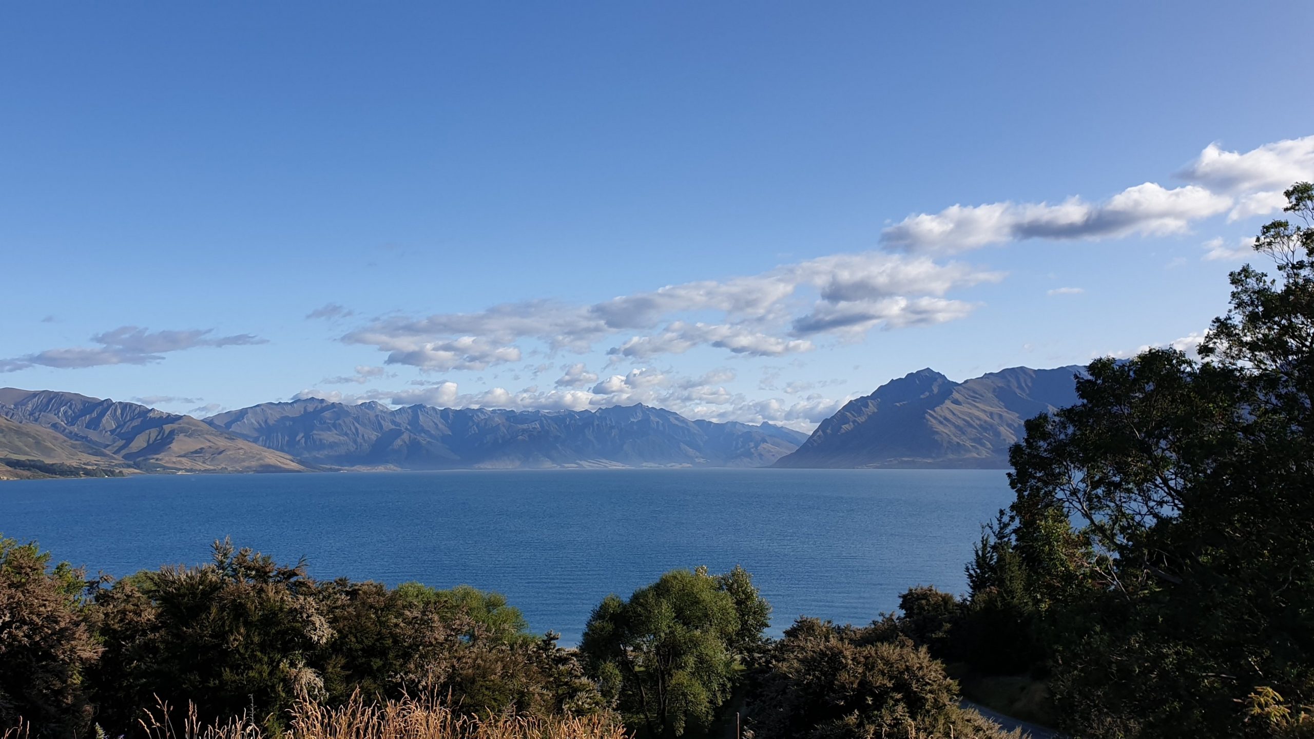
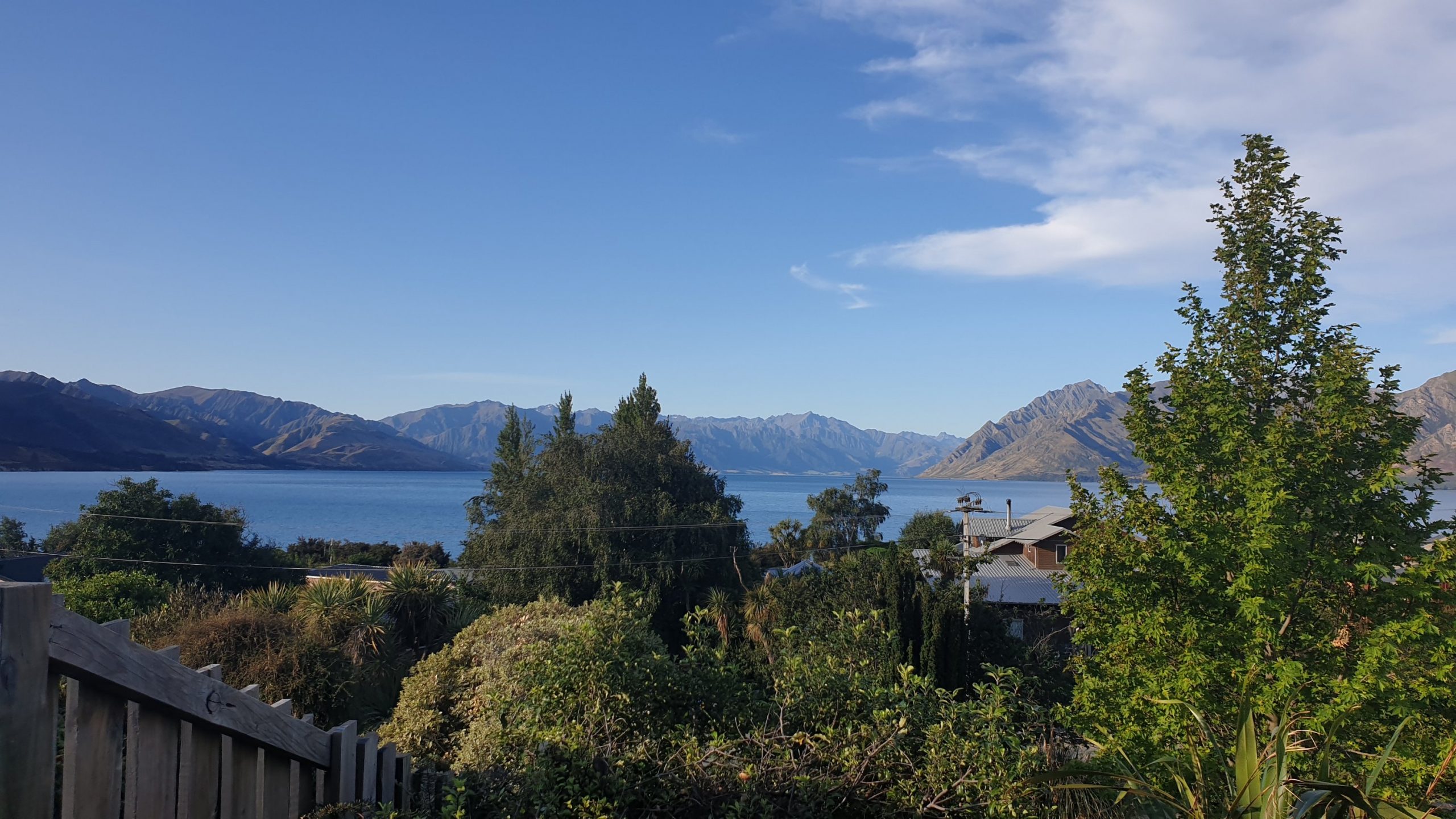
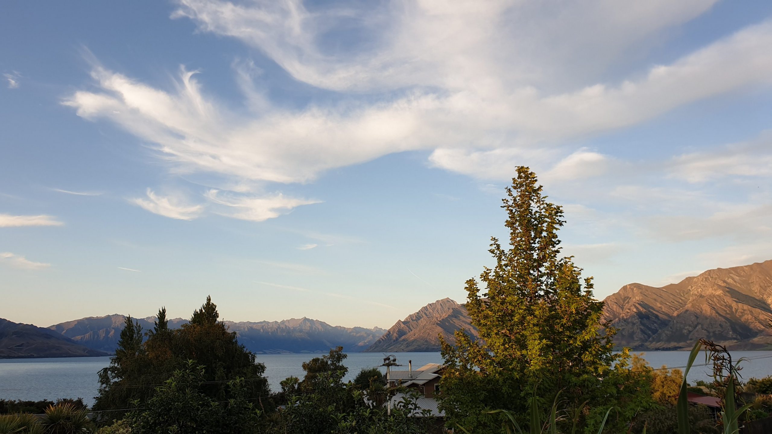
We also did some nice dinners on her great deck with a view of the Alps and Lake as far as the eye can see!
I checked on the weather forecast for the next section, which is very exposed and steep in many places, and there was high wind and high rain forecast. So I changed my plans to go to Arrowtown and do the last section, in and out , overnight. Then later the forecast improved. I am over changing my plans over and over!!
One reply on “Twizel to Wanaka”
Tam gdzie nie ma lasu wyglada ta NZ bardzo dzika i niedostepna. Twoj maly namiocik – slodkosc. Ciekawe jak sie spi w takiej blaszannej chacie?