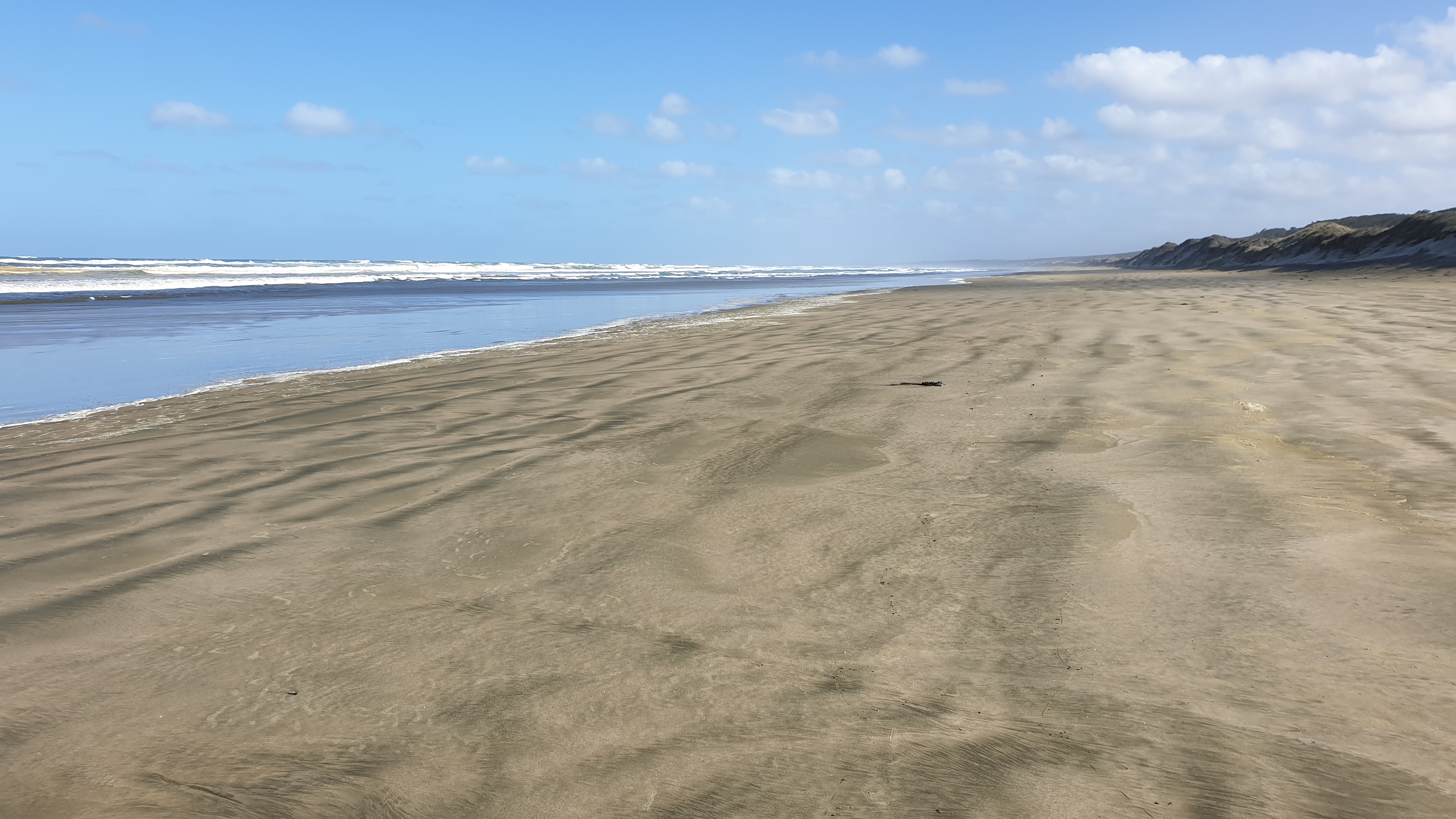
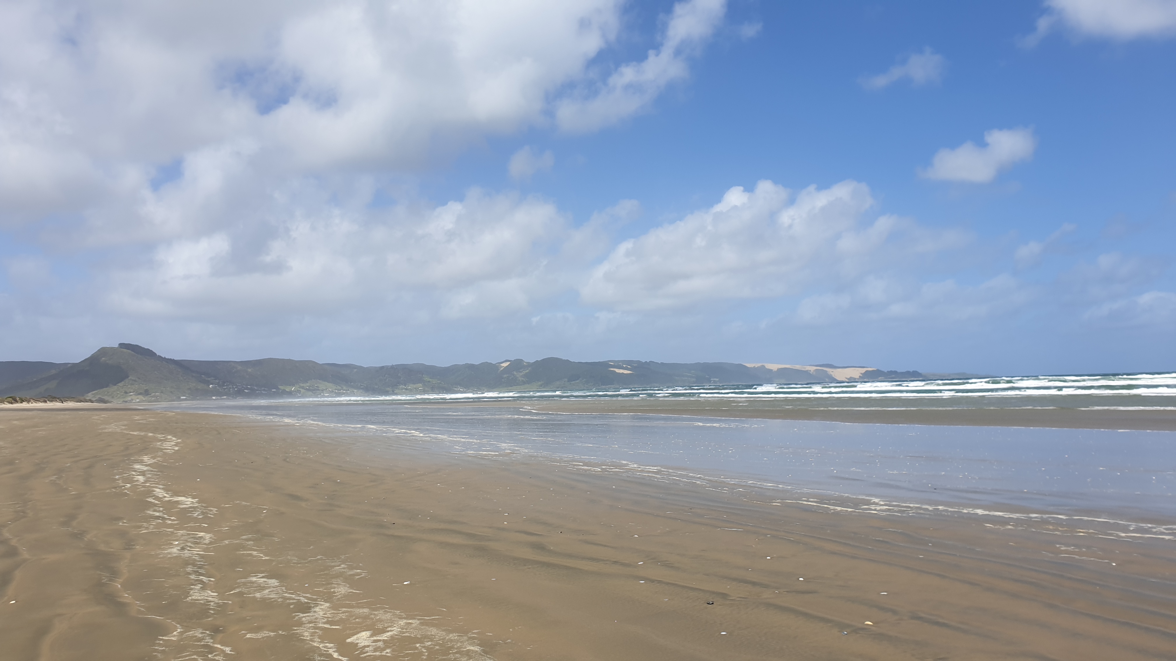
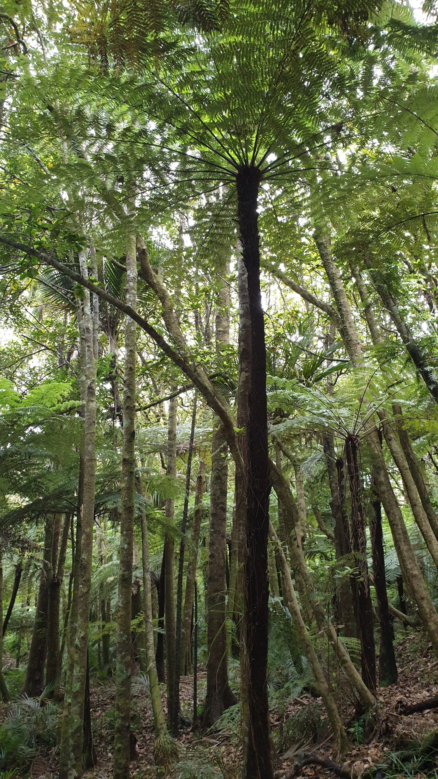
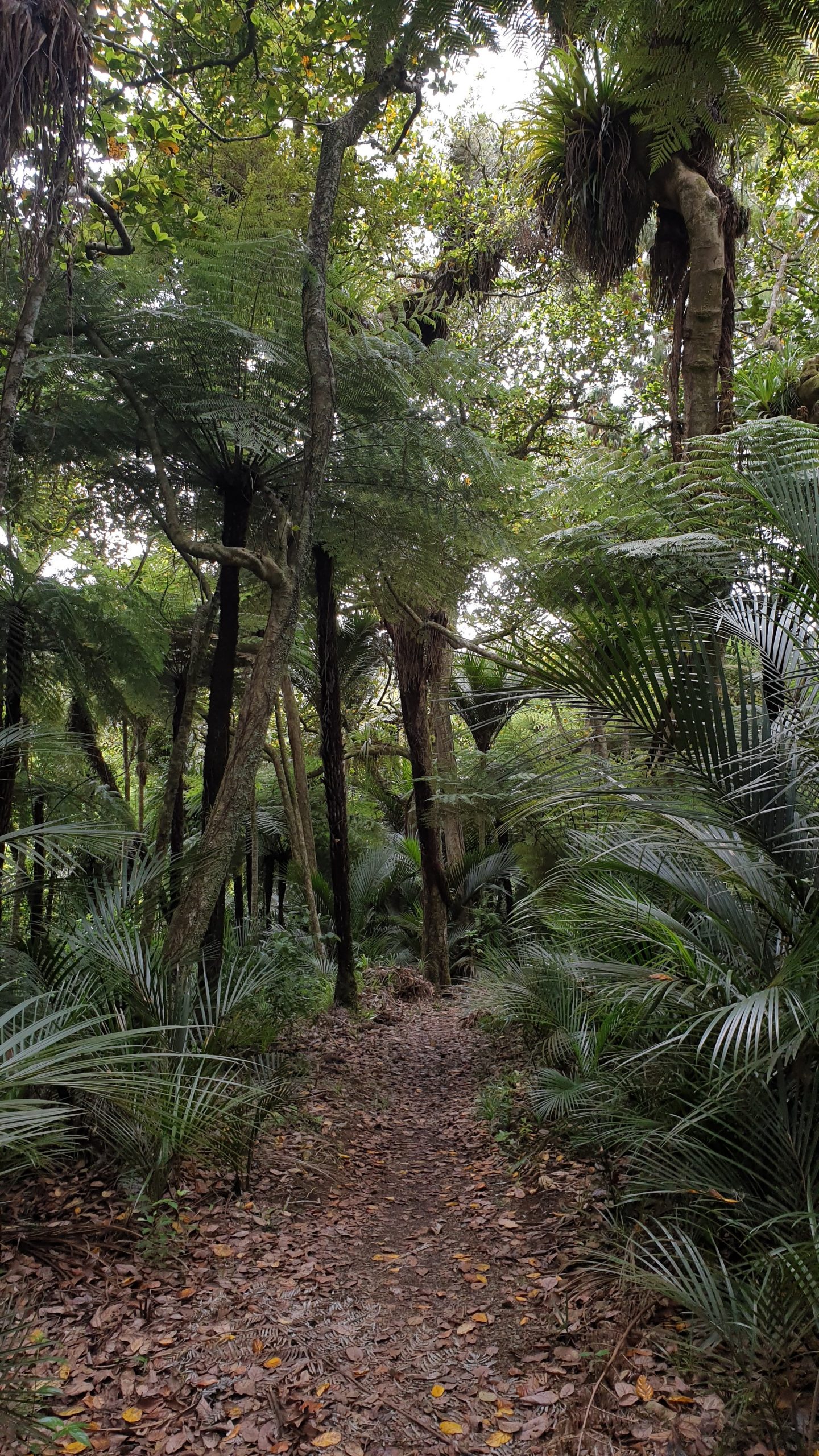
After I decided to stop my Te Araroa experience I had to keep myself busy for a couple of months. I decided to look for a backpacker job and found one in house keeping and reception just outside of Punakaiki or Pancake Rocks on the West Coast of the South Island.The location was great, in the rainforest and 10 minutes to the beach.
Work was fine, just 4-5 hours per day and only 10am start. I also took the opportunity to figure out if I ever wanted to own or manage a hostel or bed and breakfast- that would be a NO 😃
The downside was the staff quarters. At 150 NZD per week excluding food I was hoping for some cleaner quarters, but living with pigs that was not to be.I spring cleaned many times and within a couple of hours it would be a mess again. No respect of ones time here.
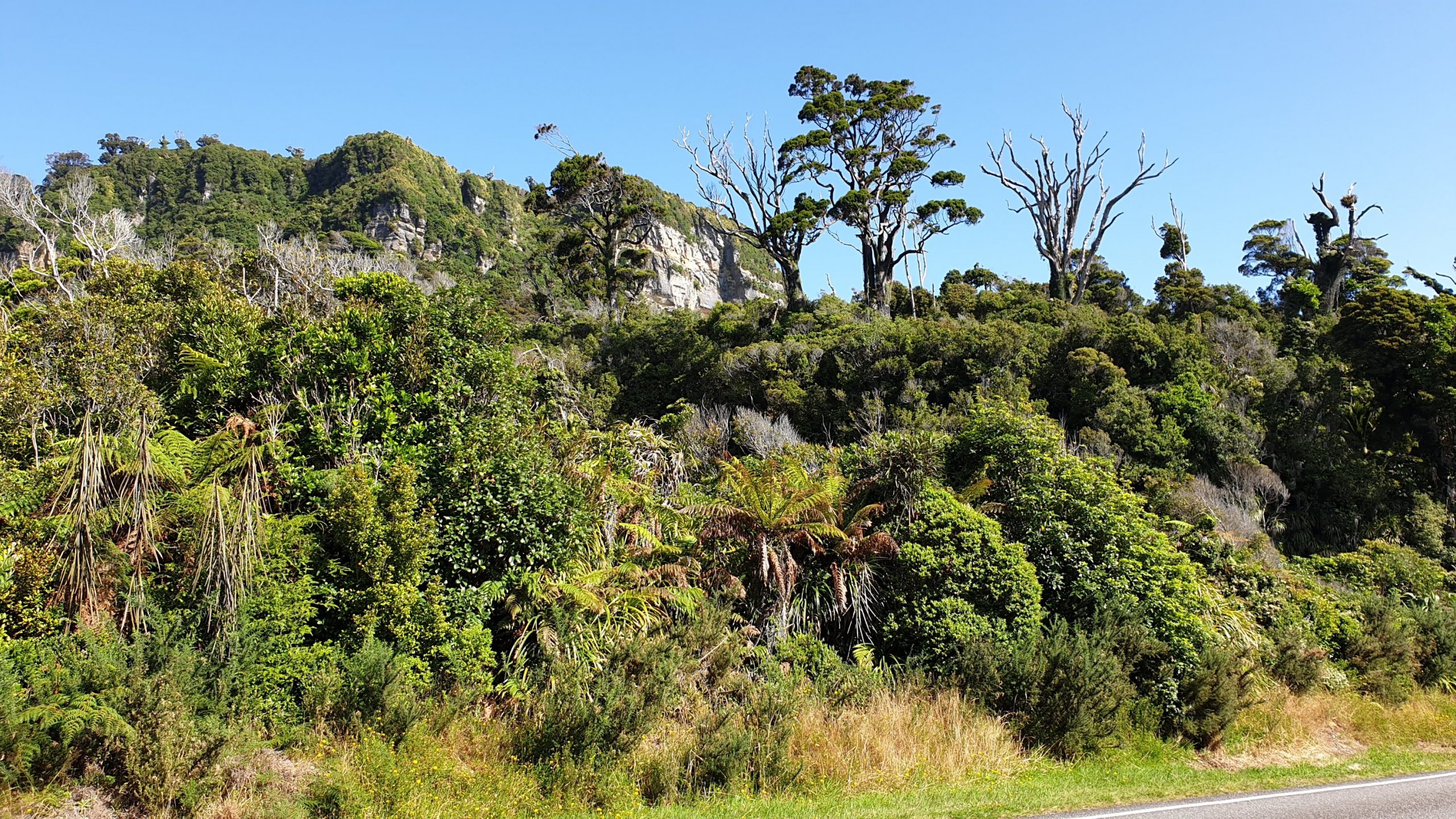
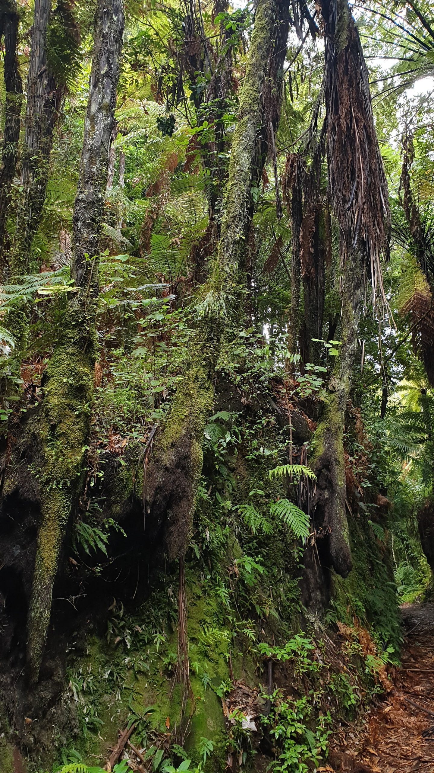
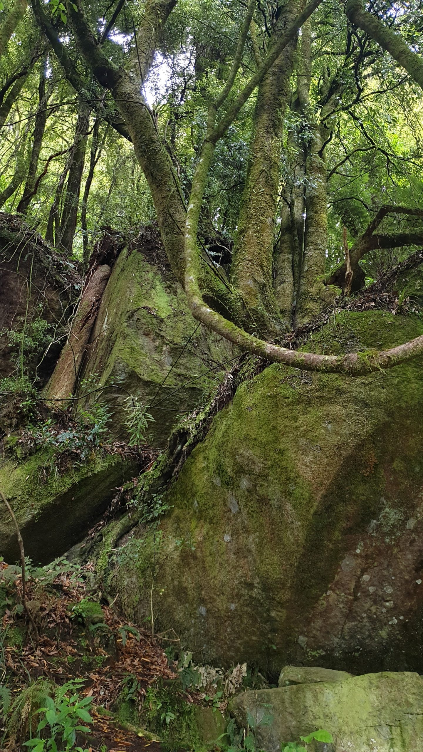
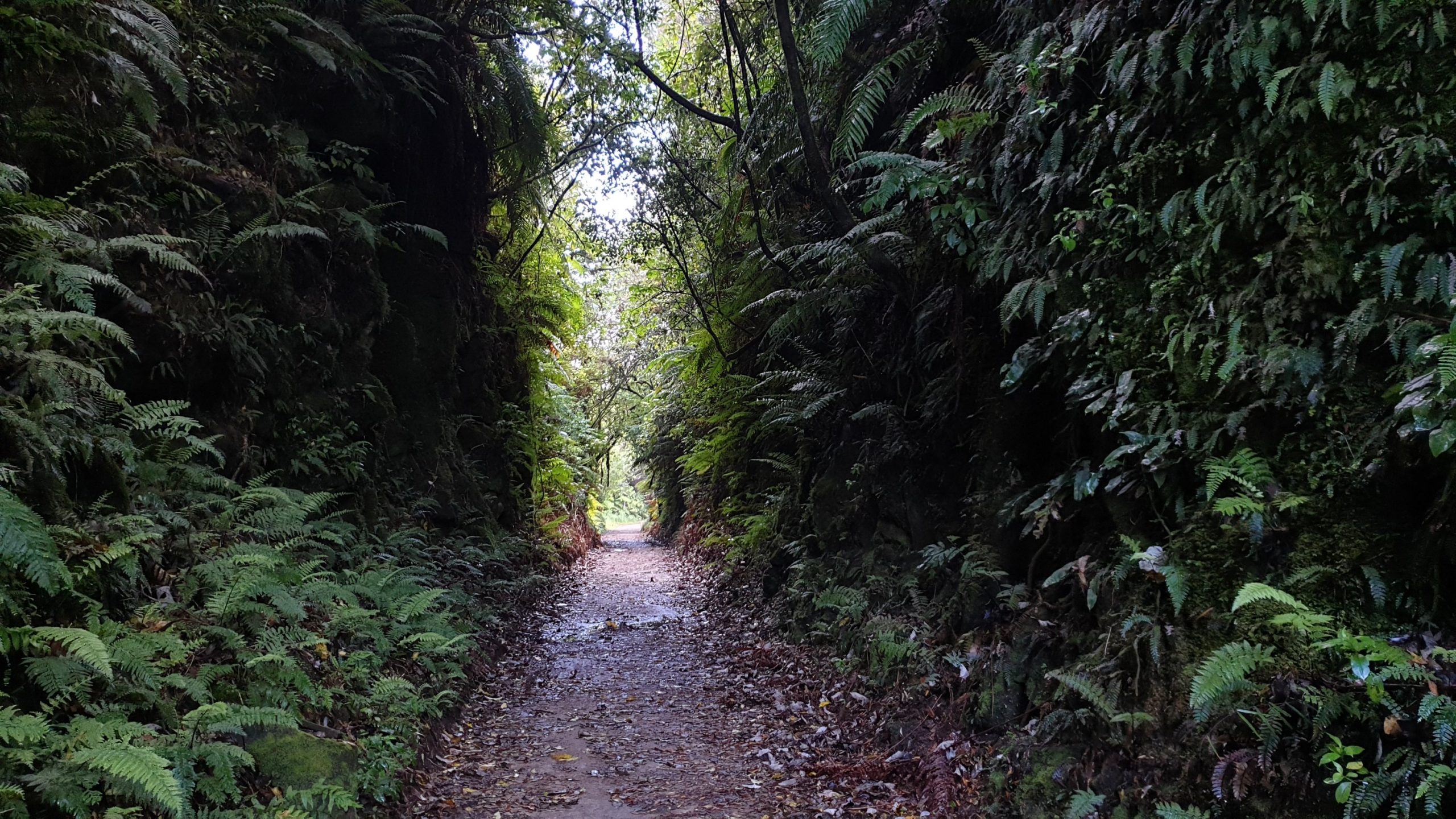
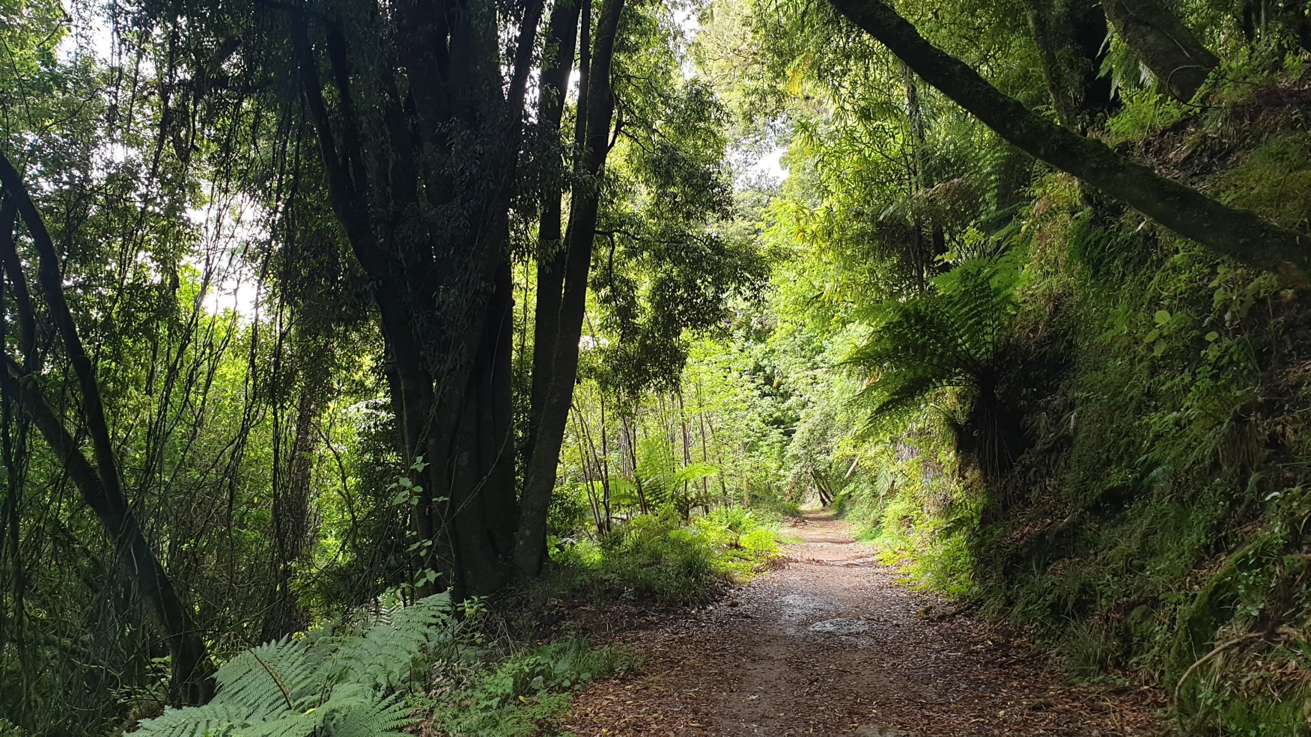
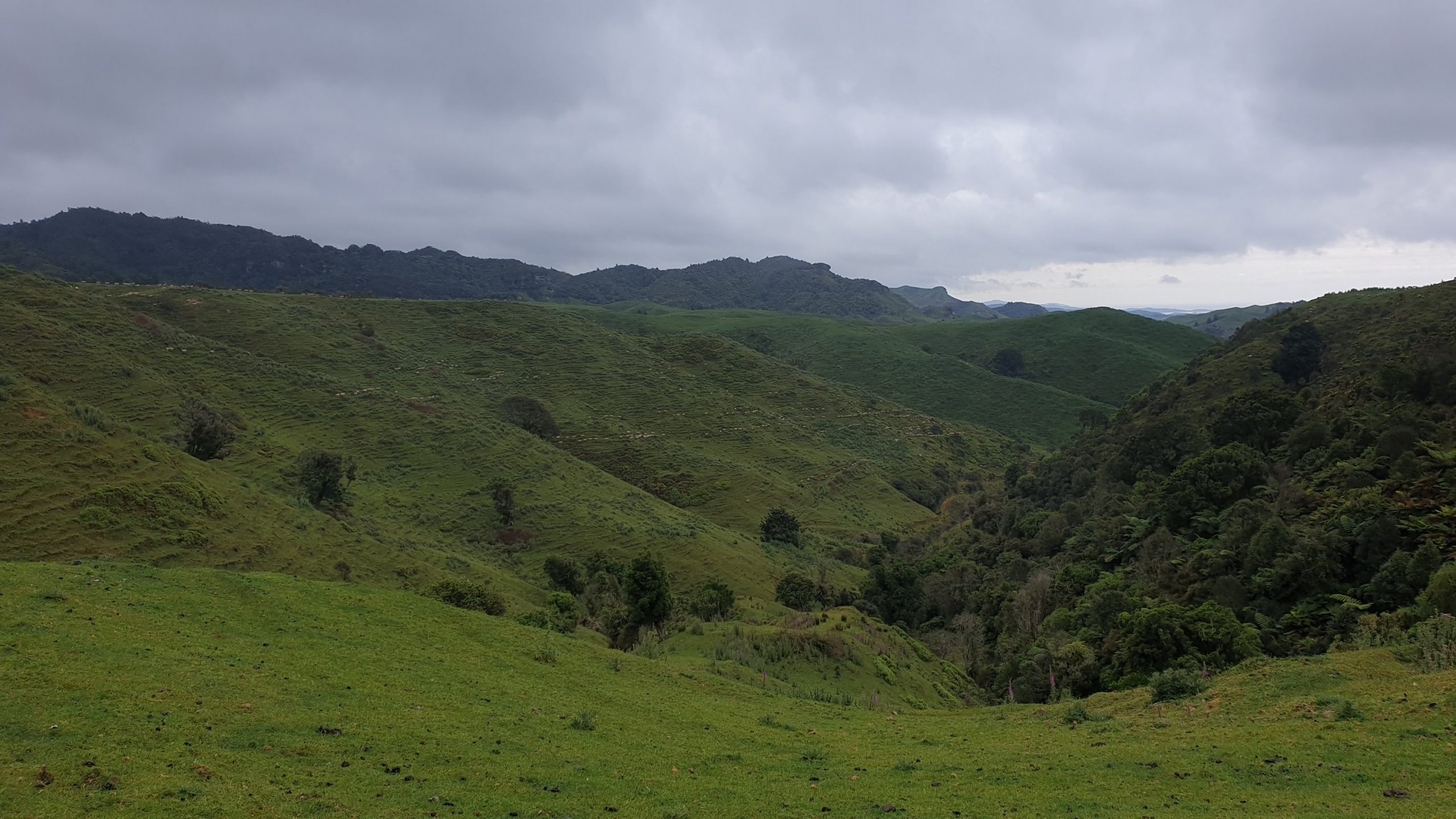
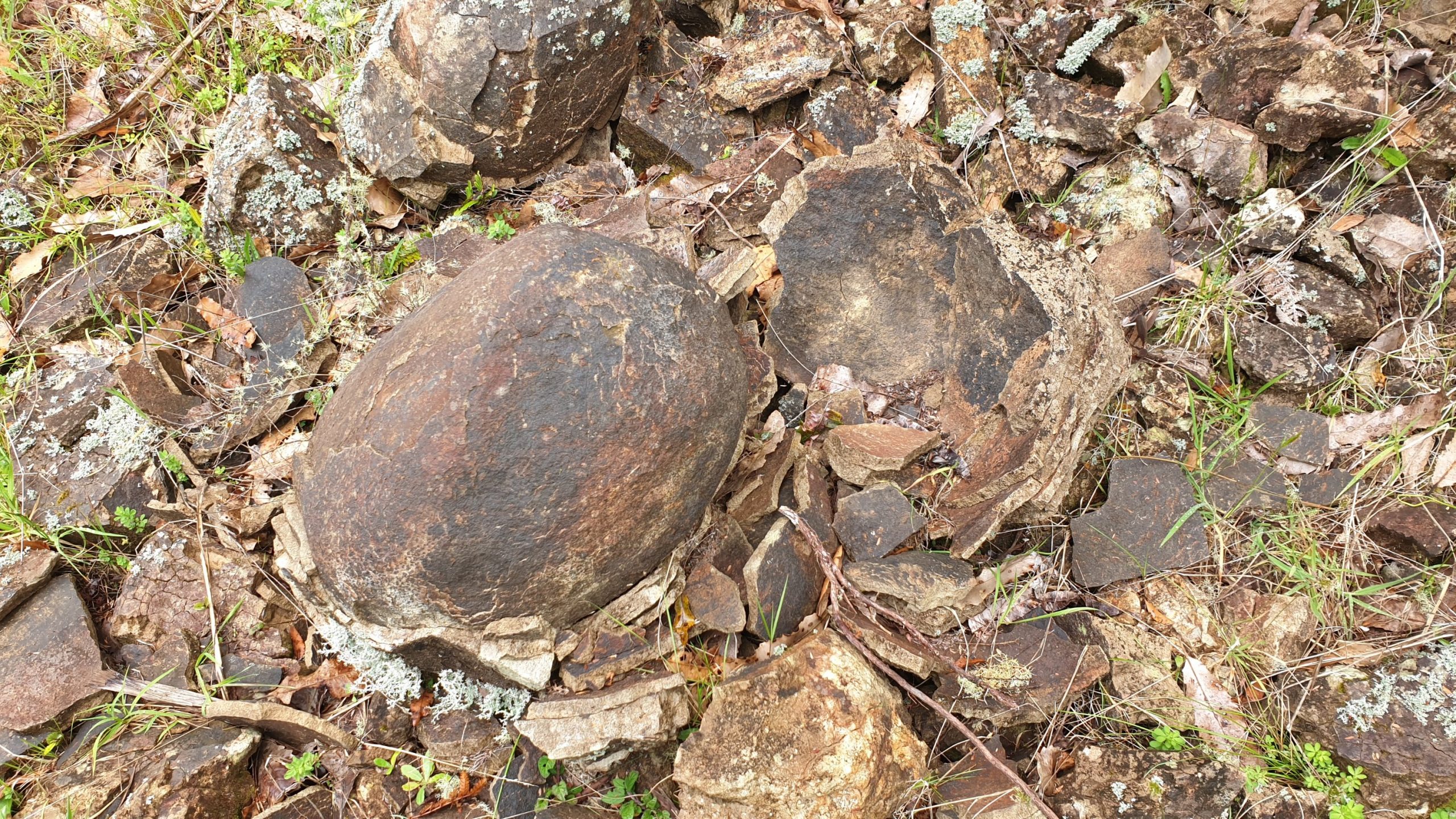
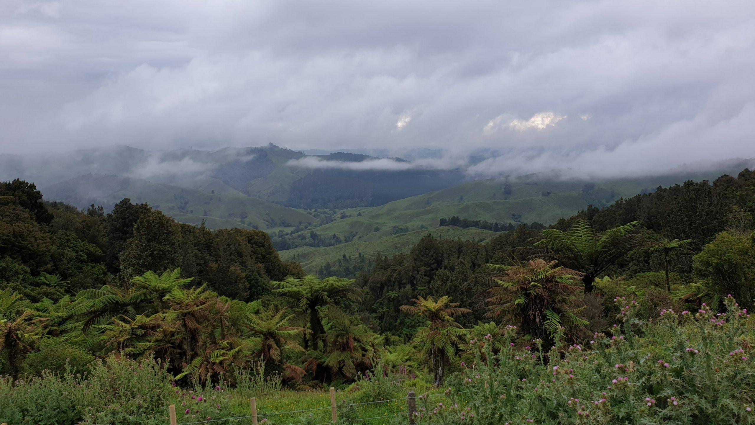
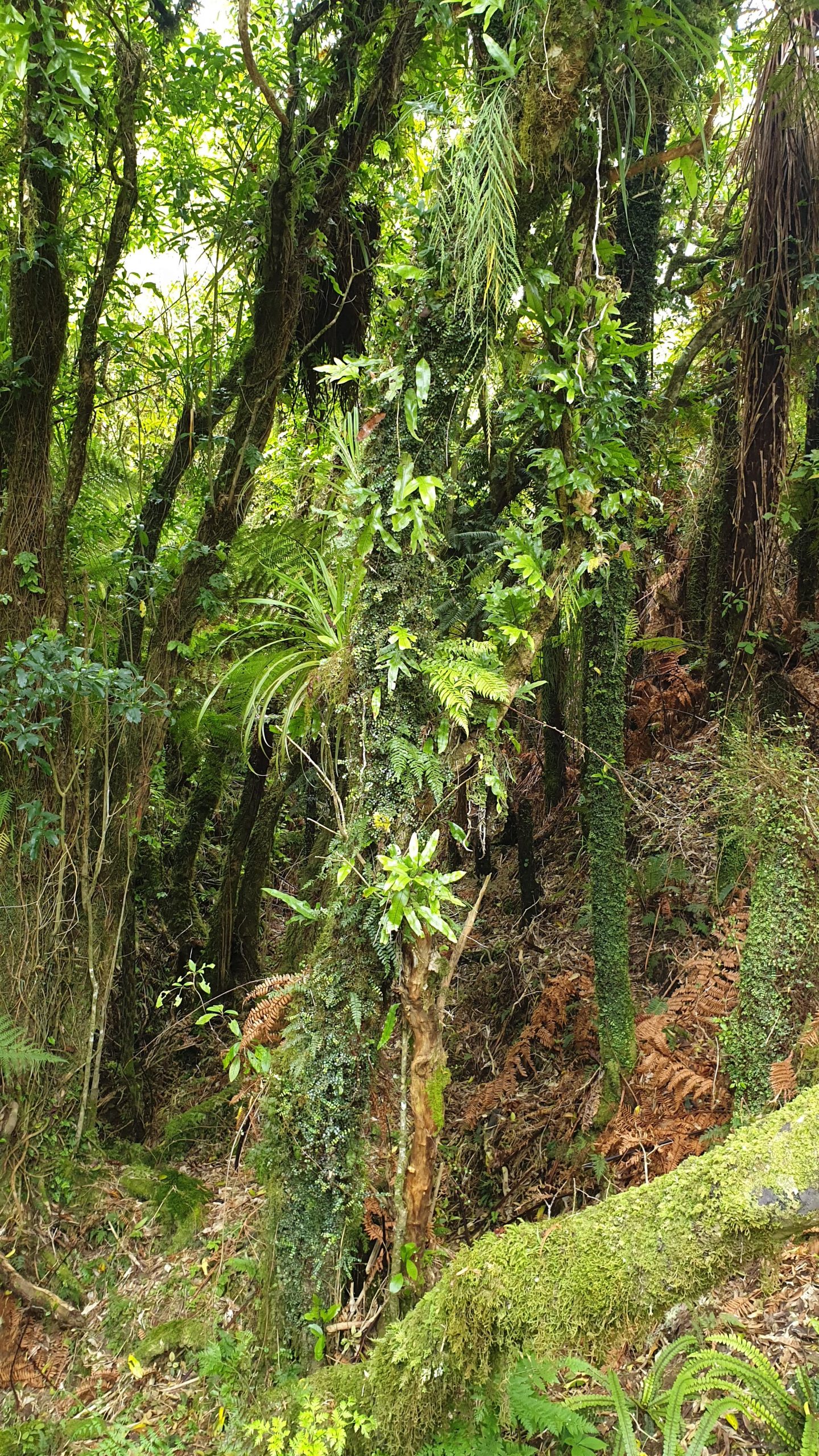
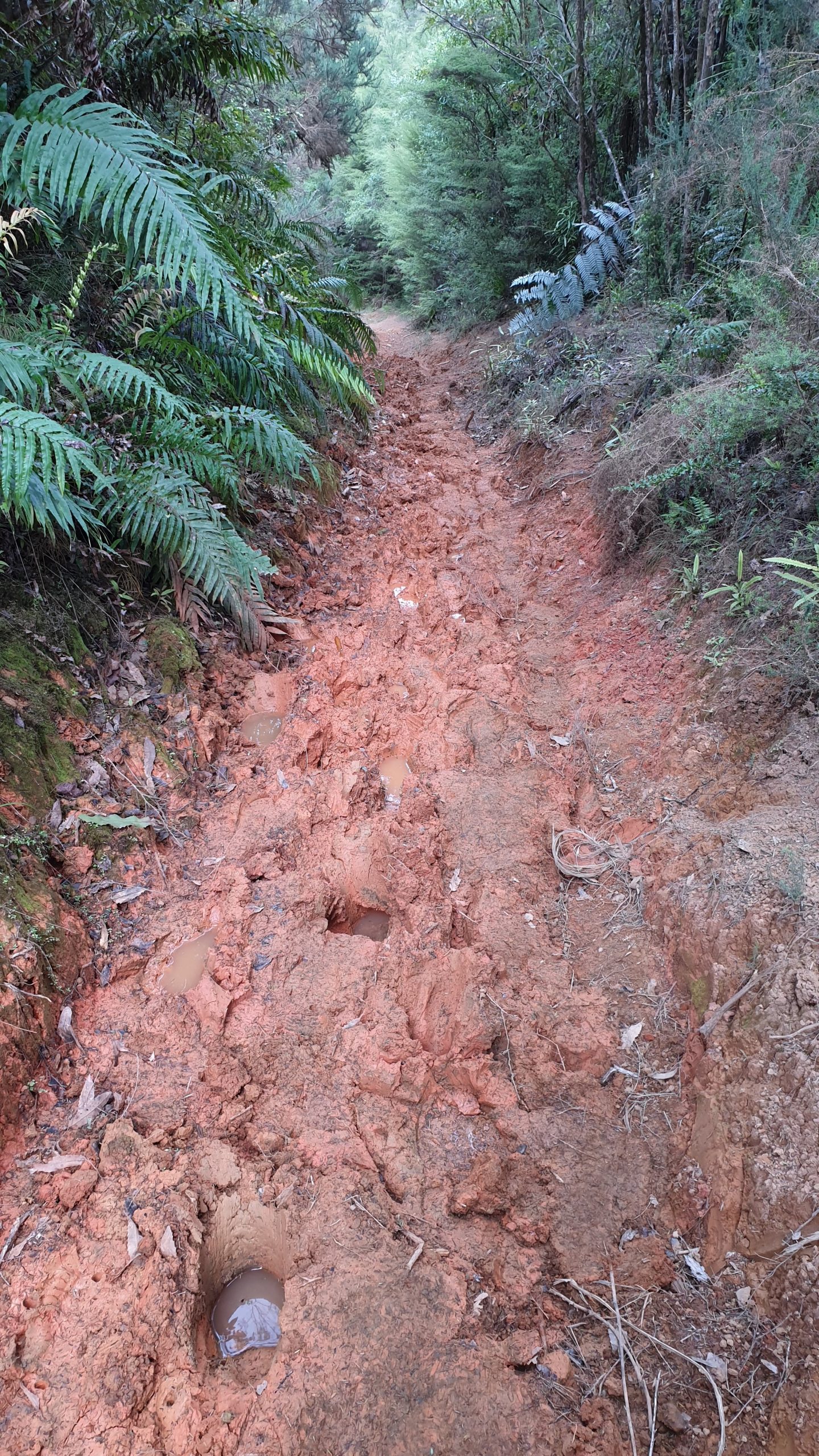
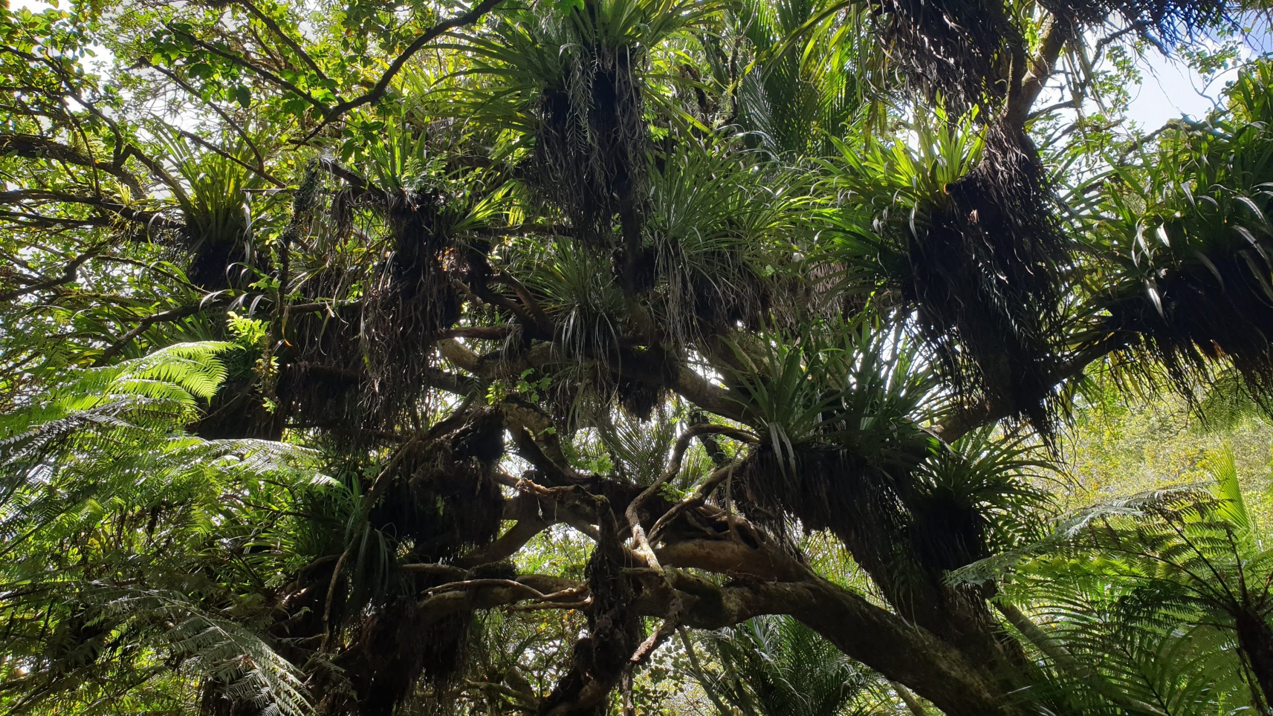
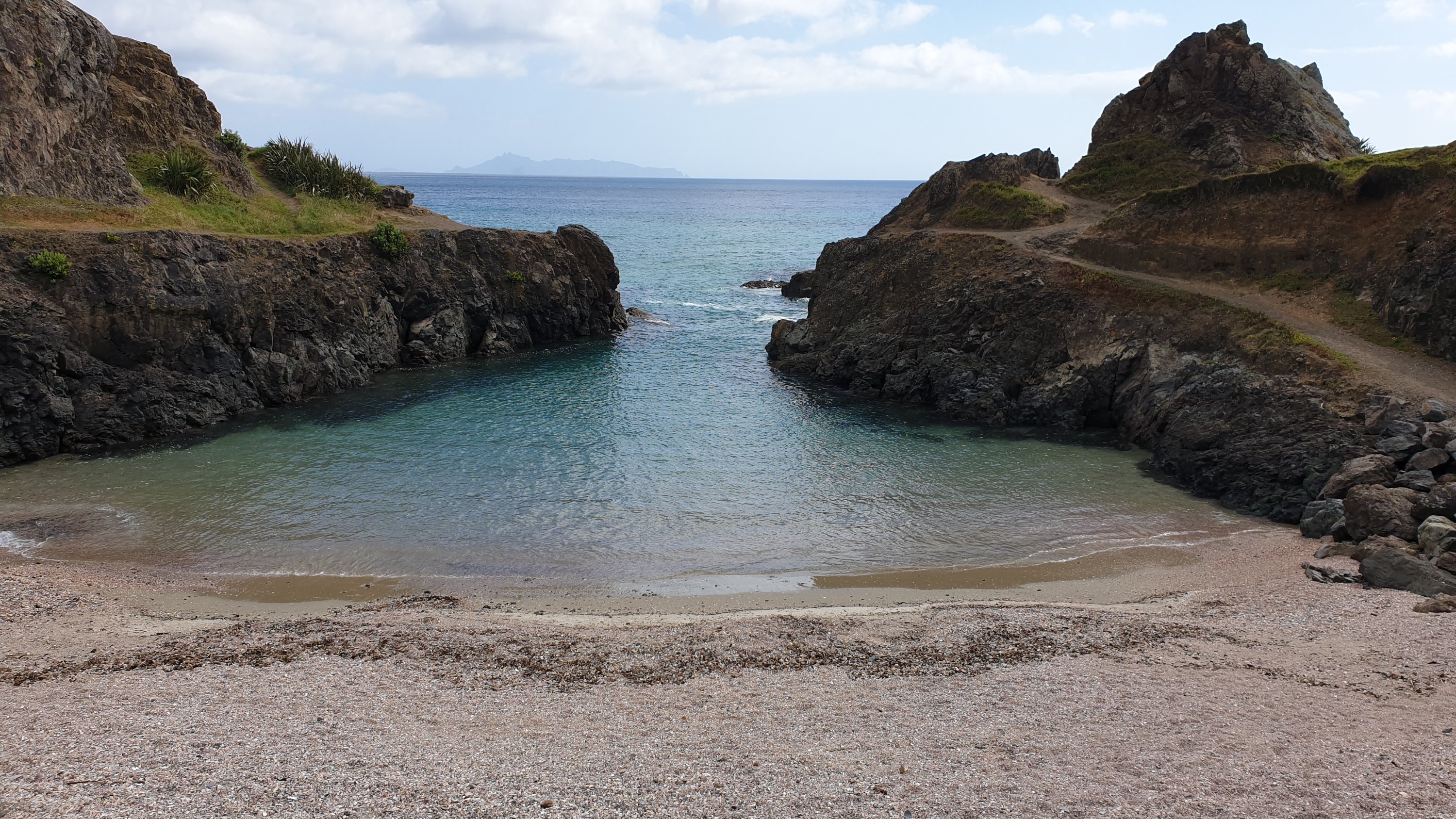
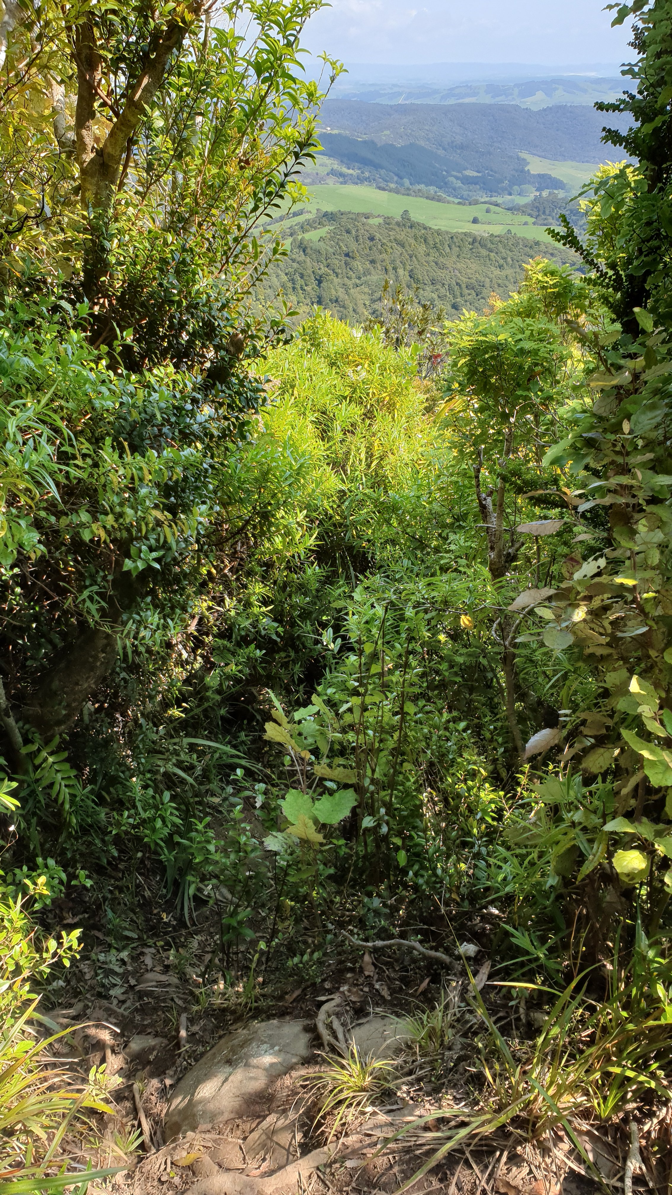
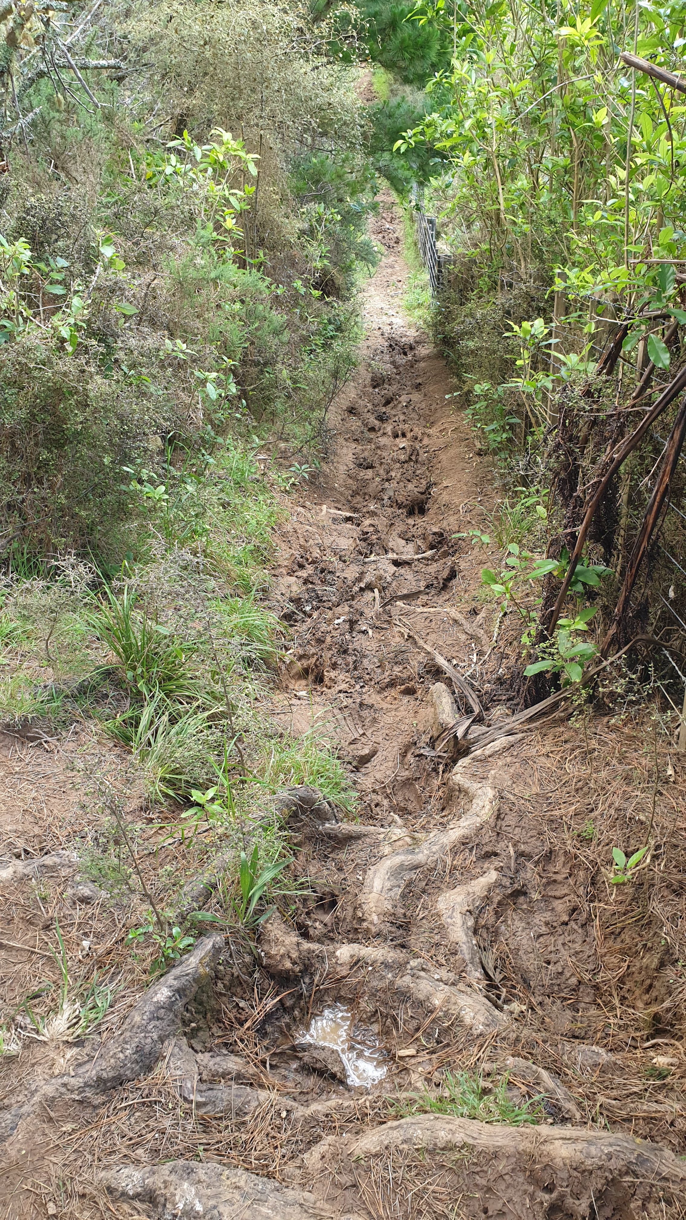
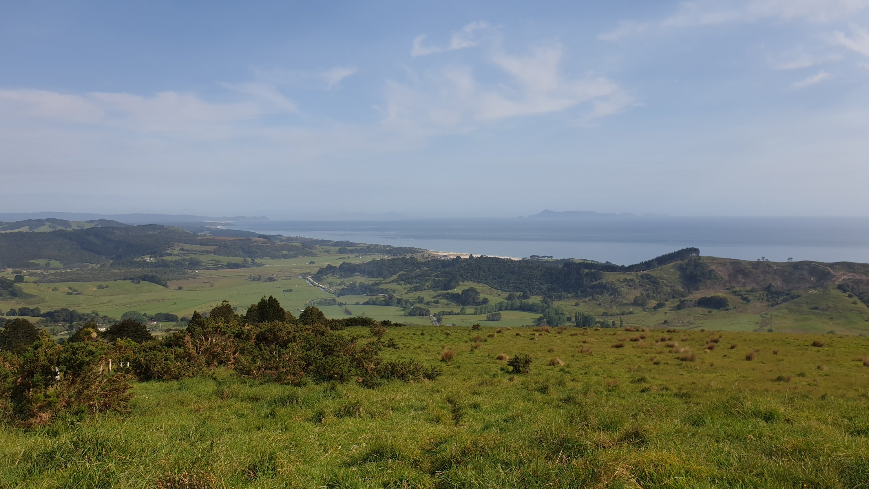
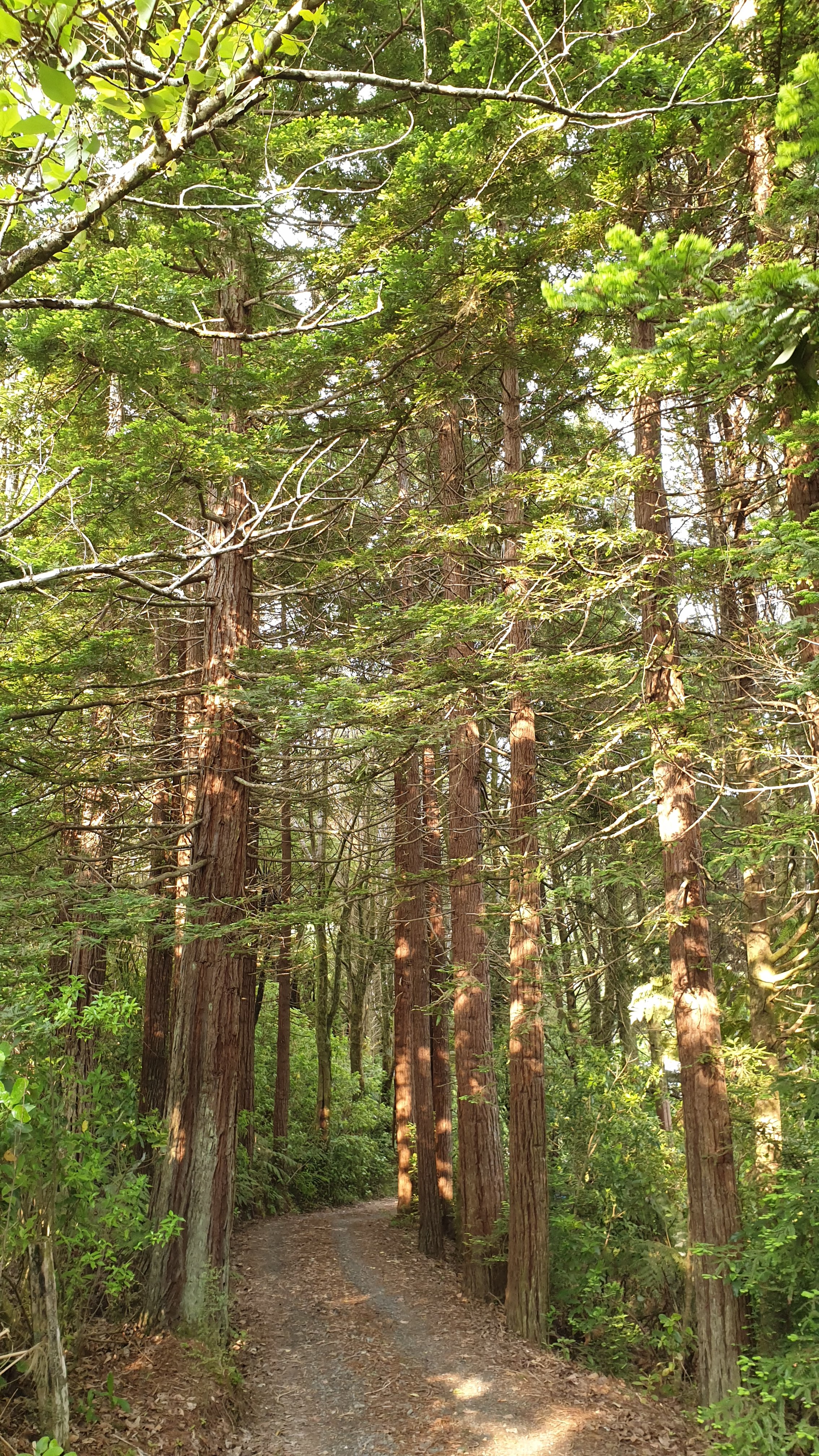
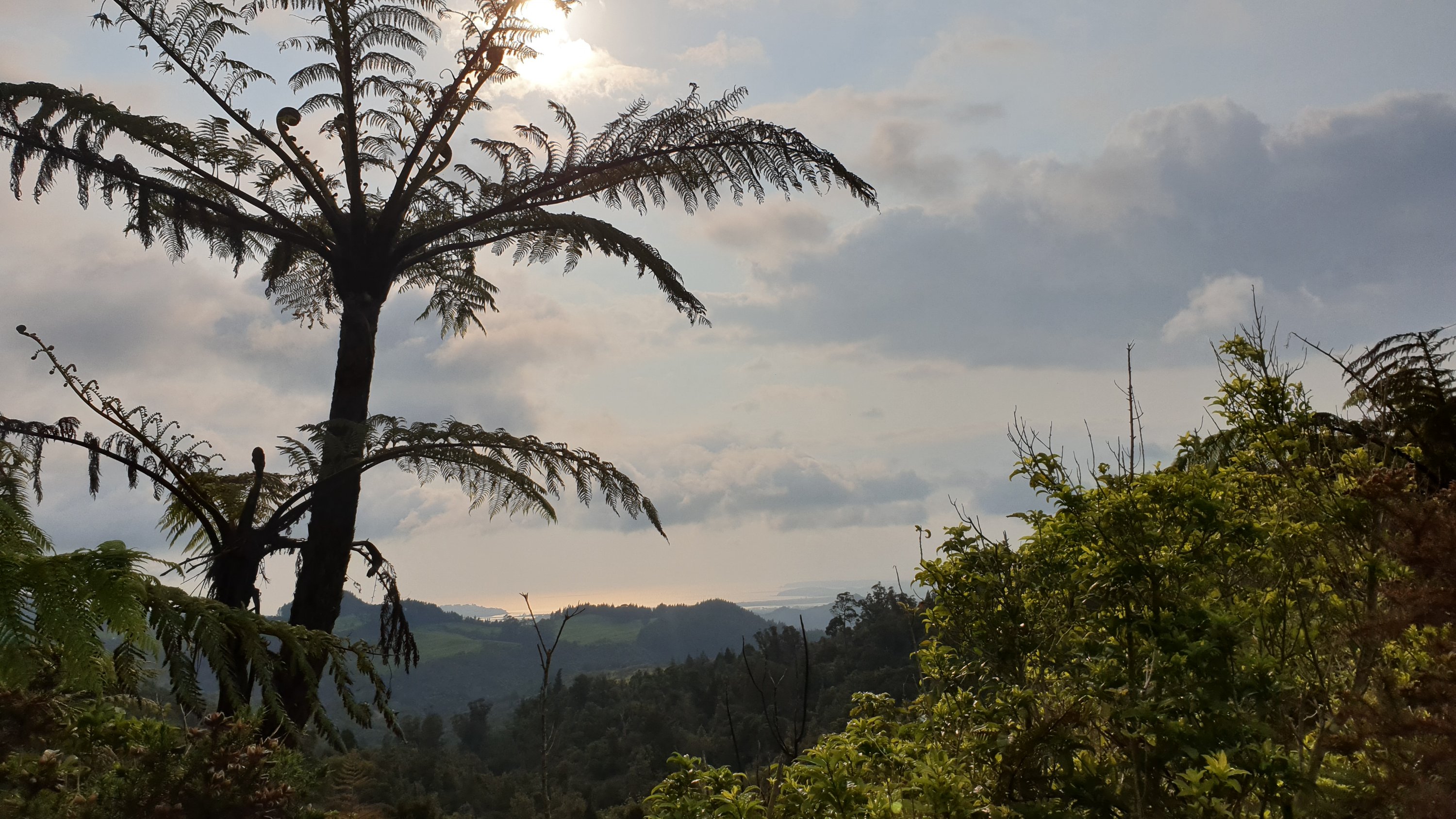
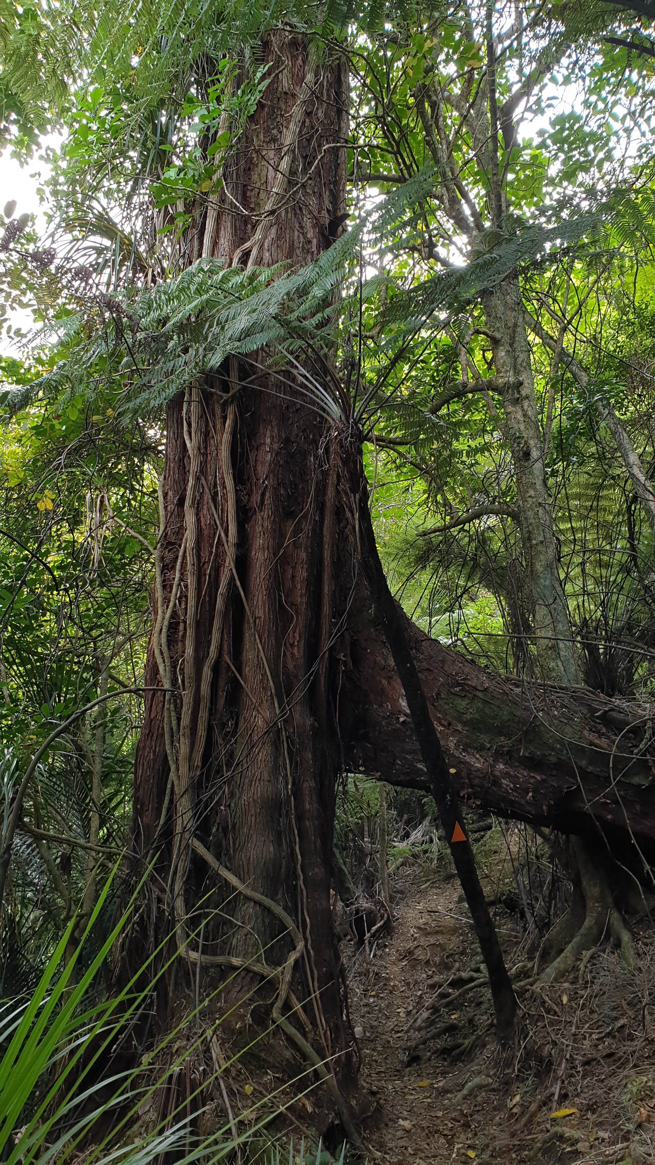
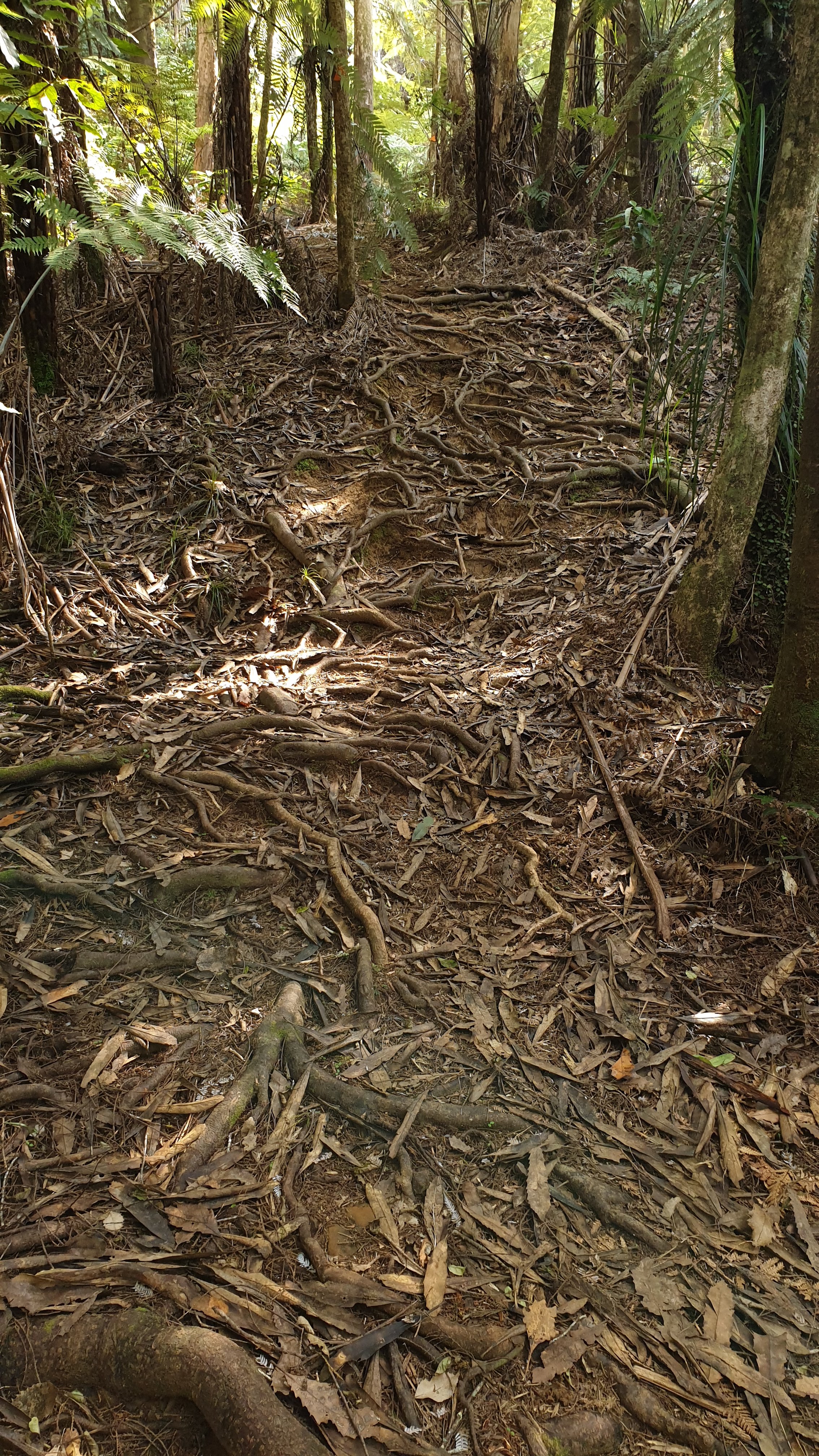
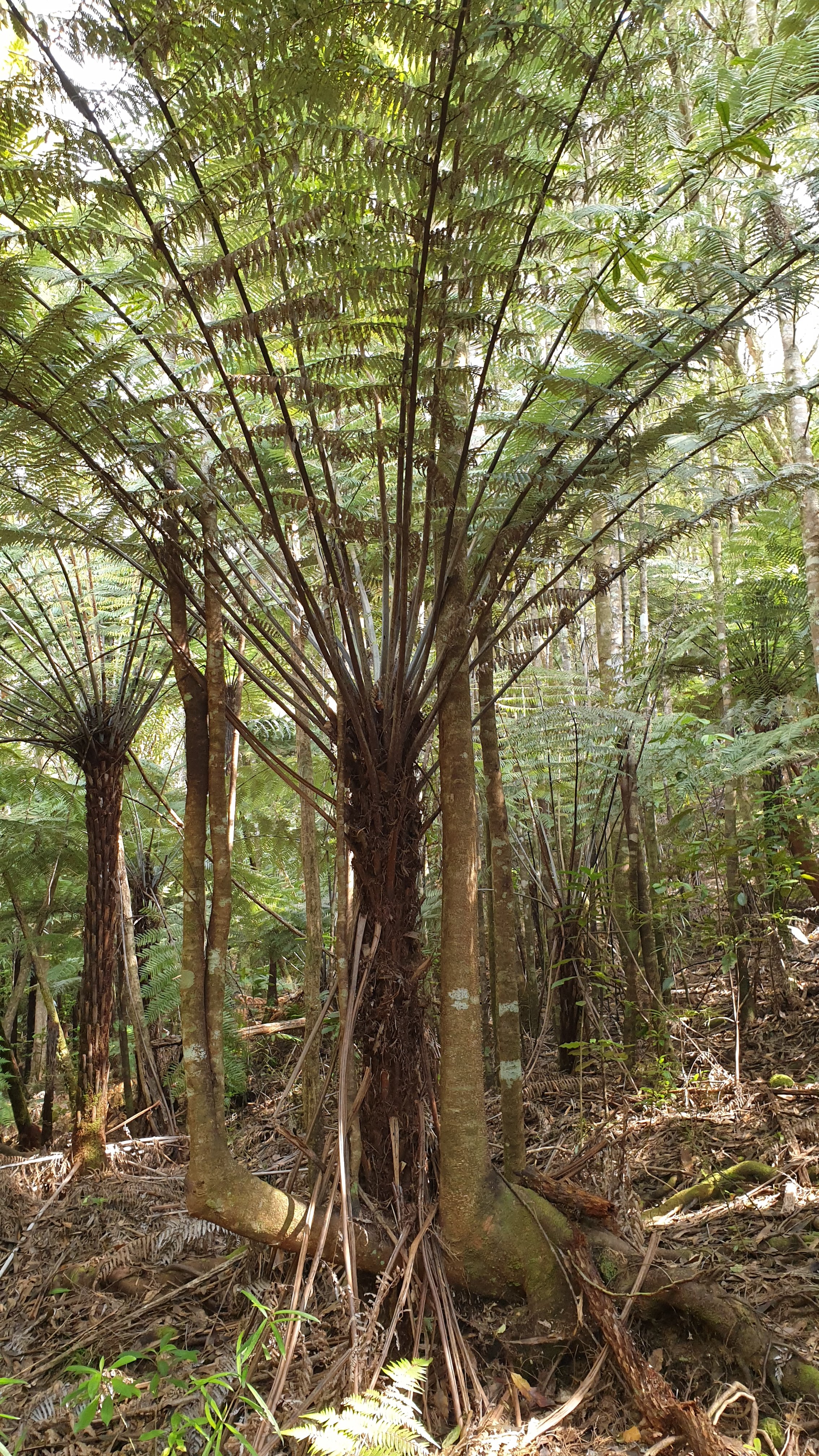
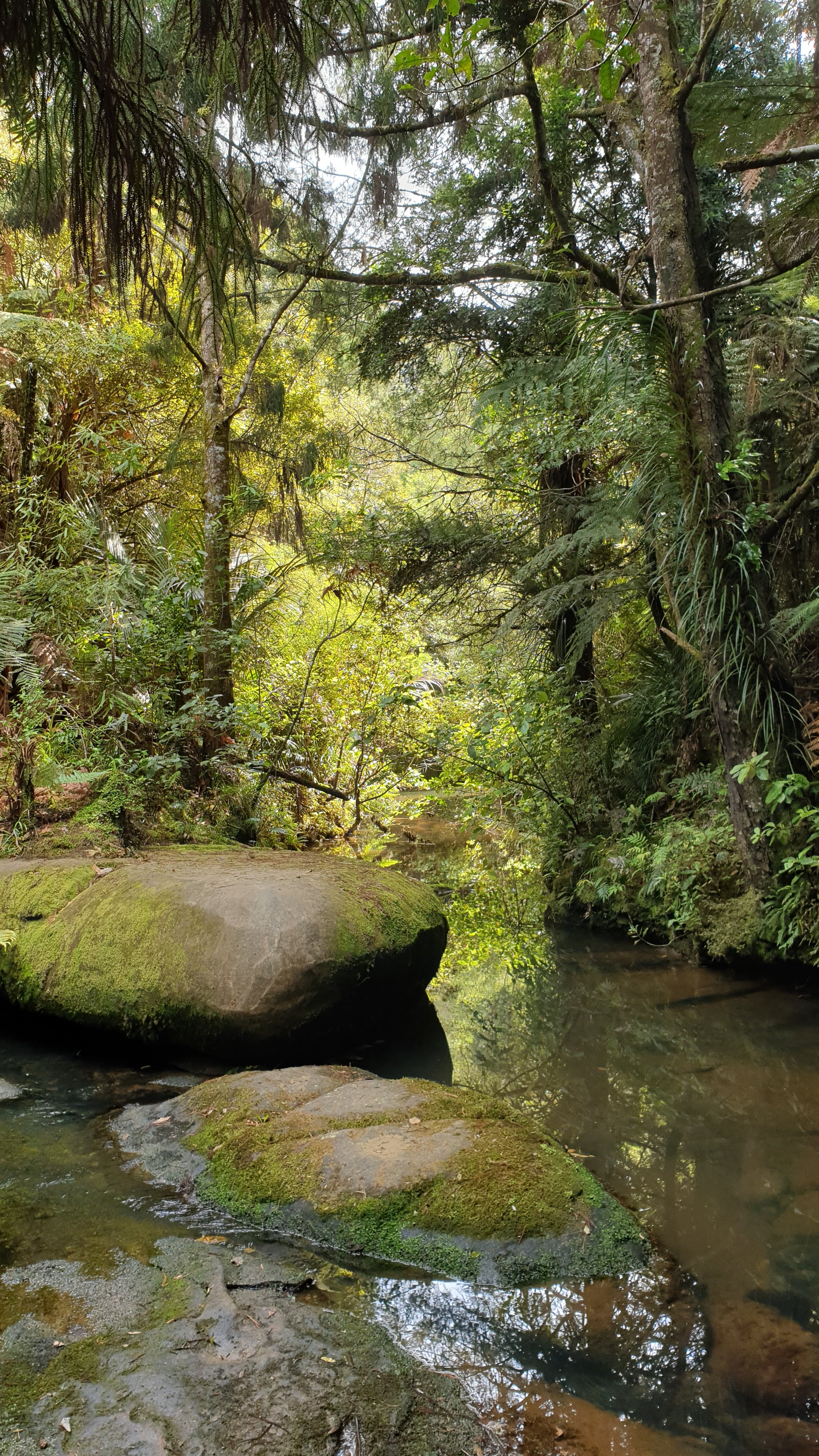
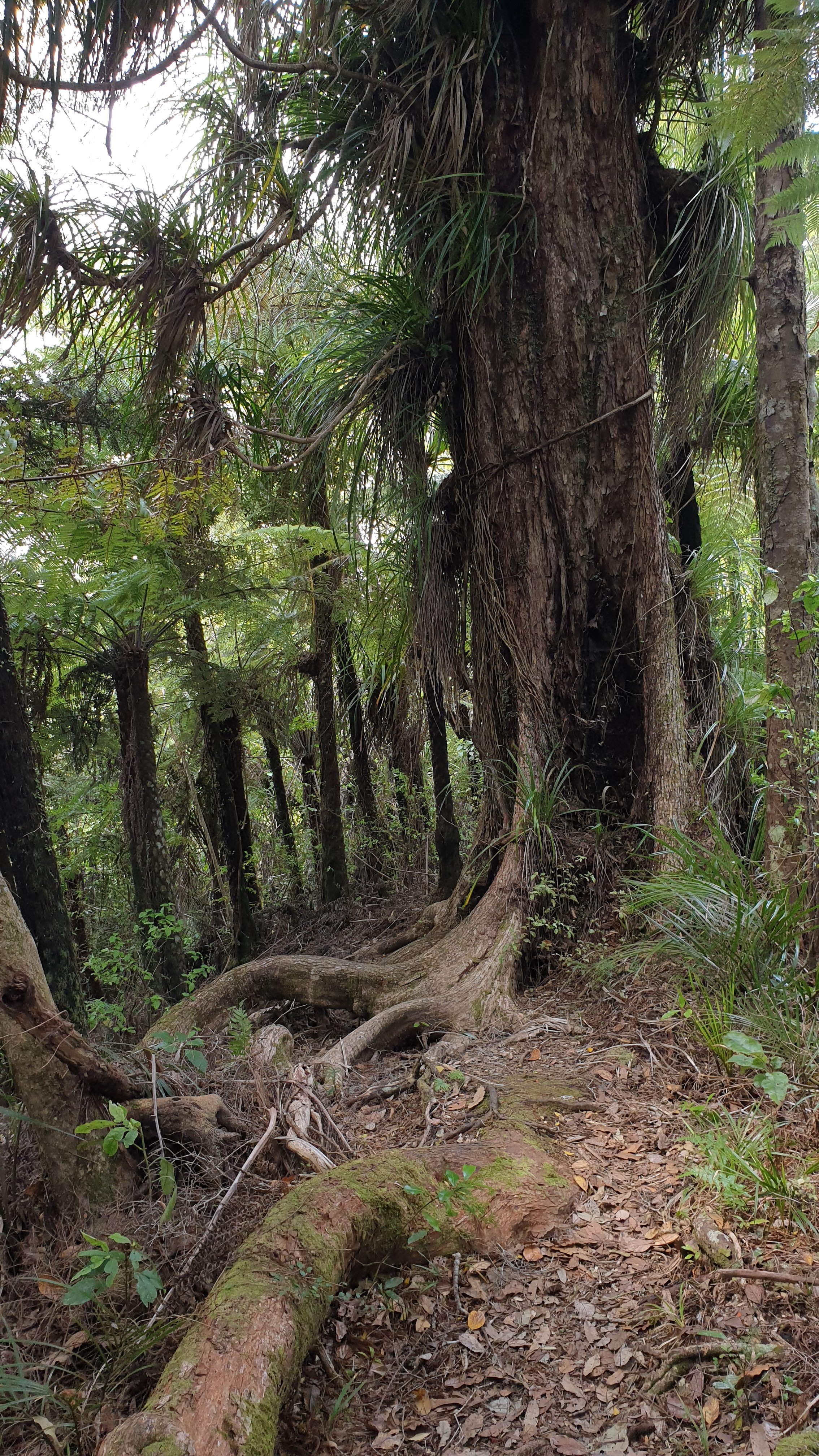
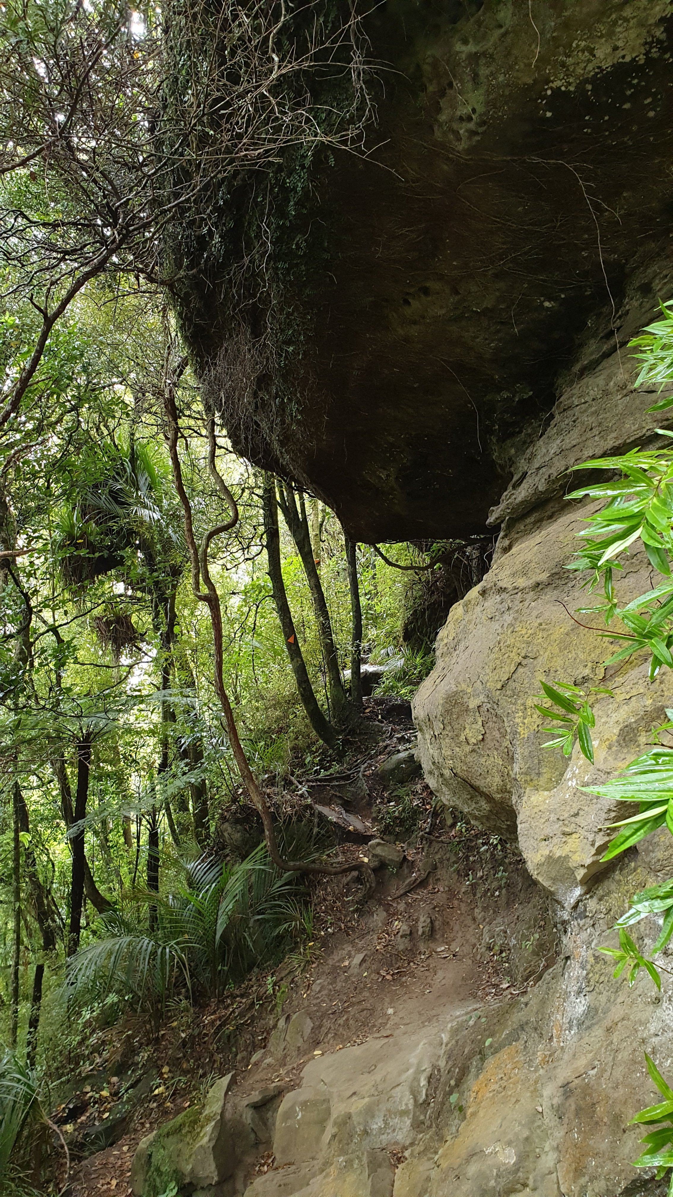
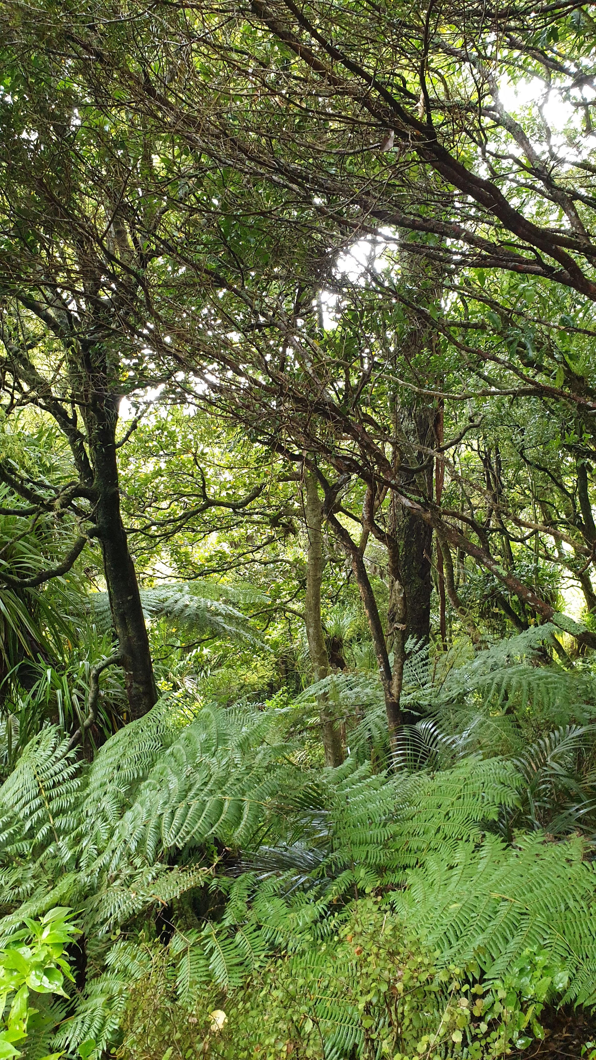
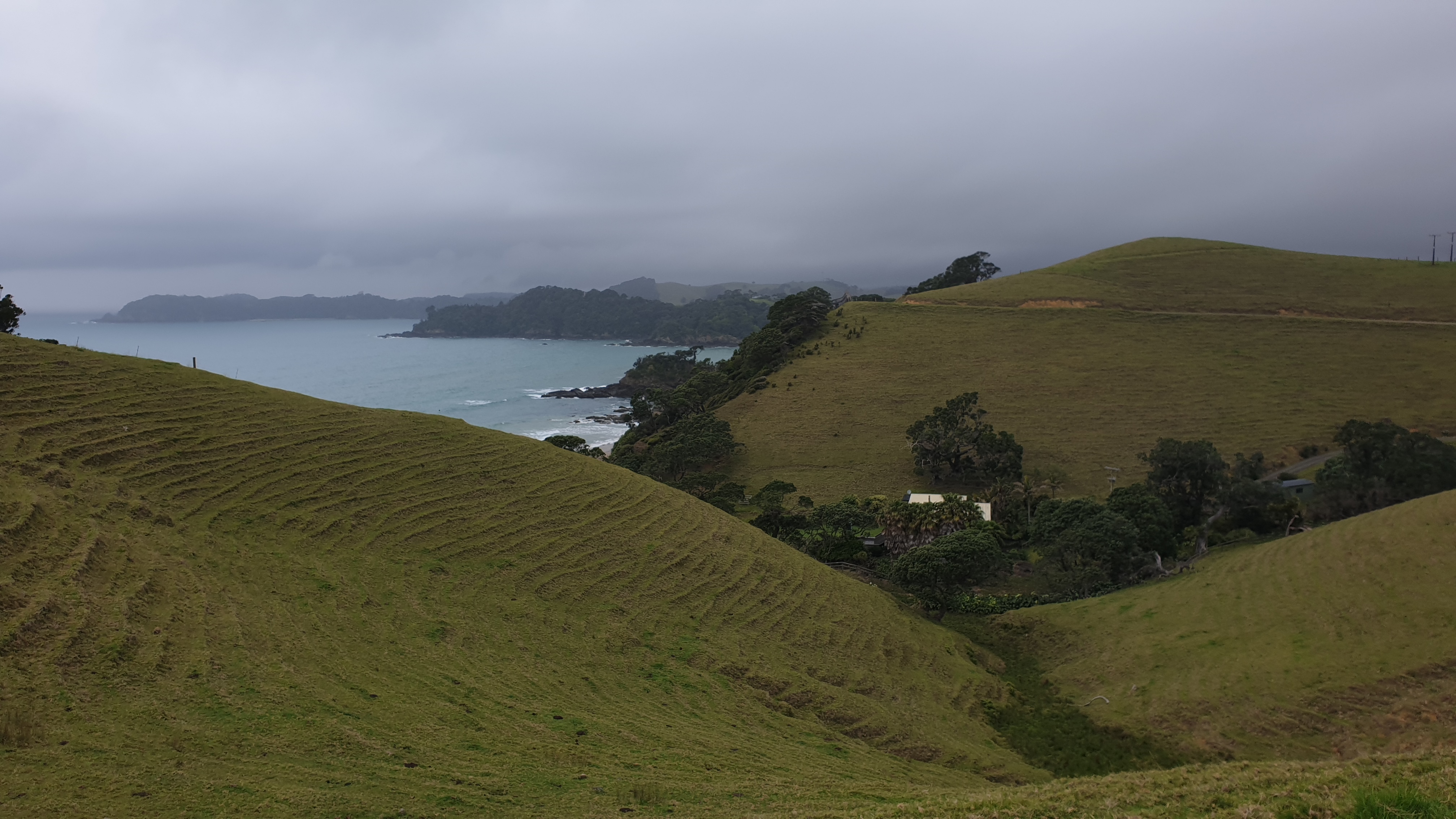
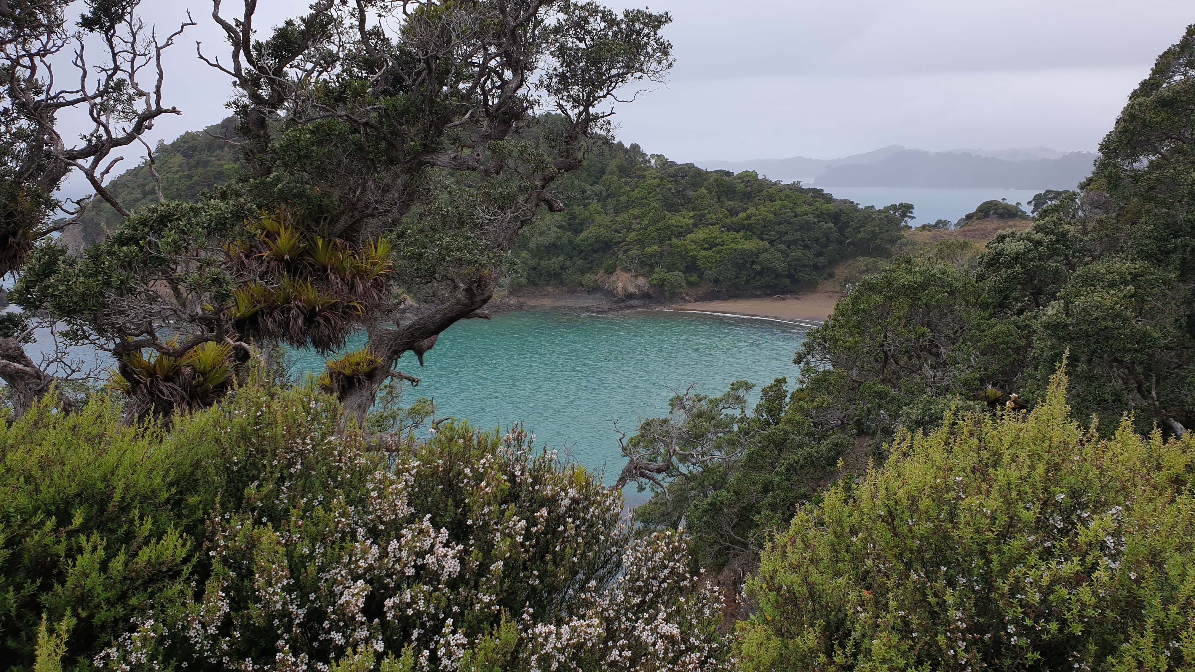
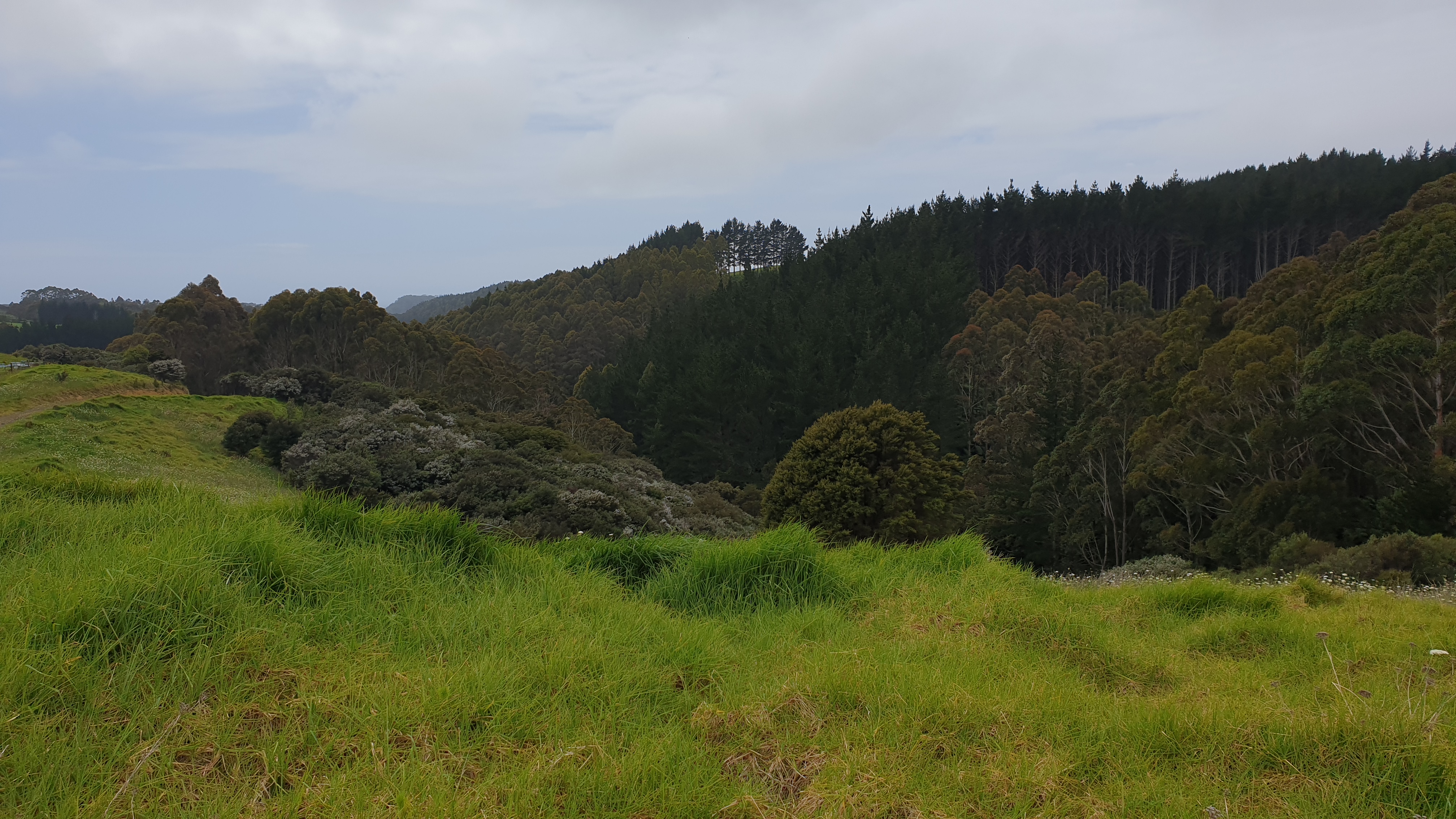
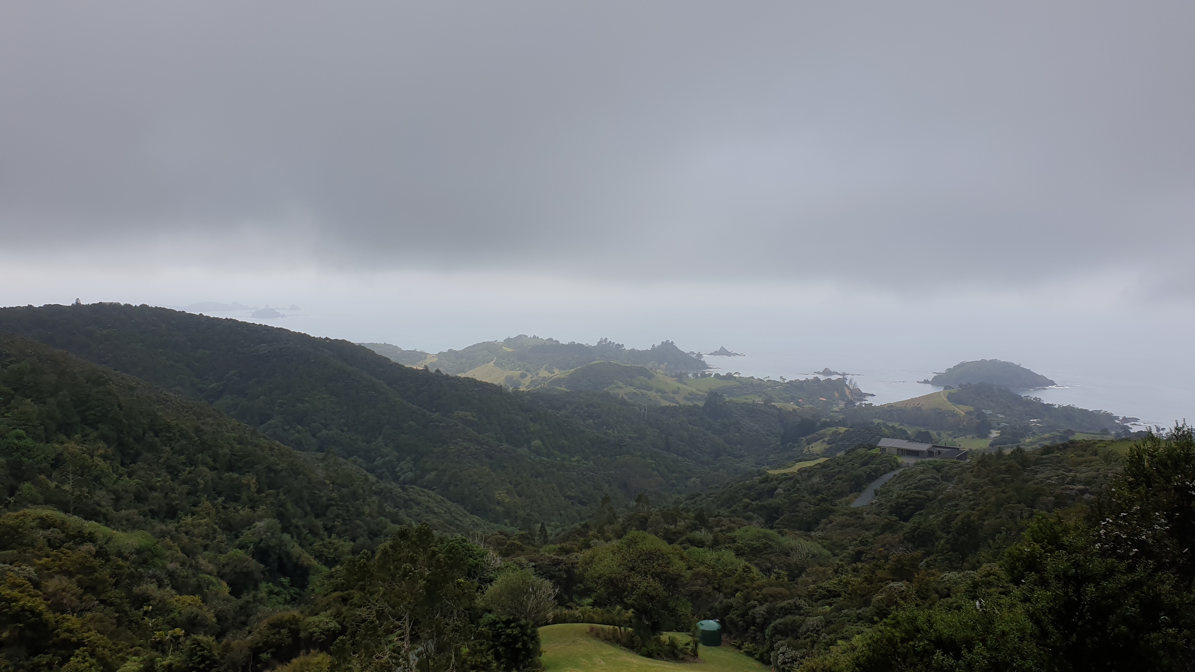
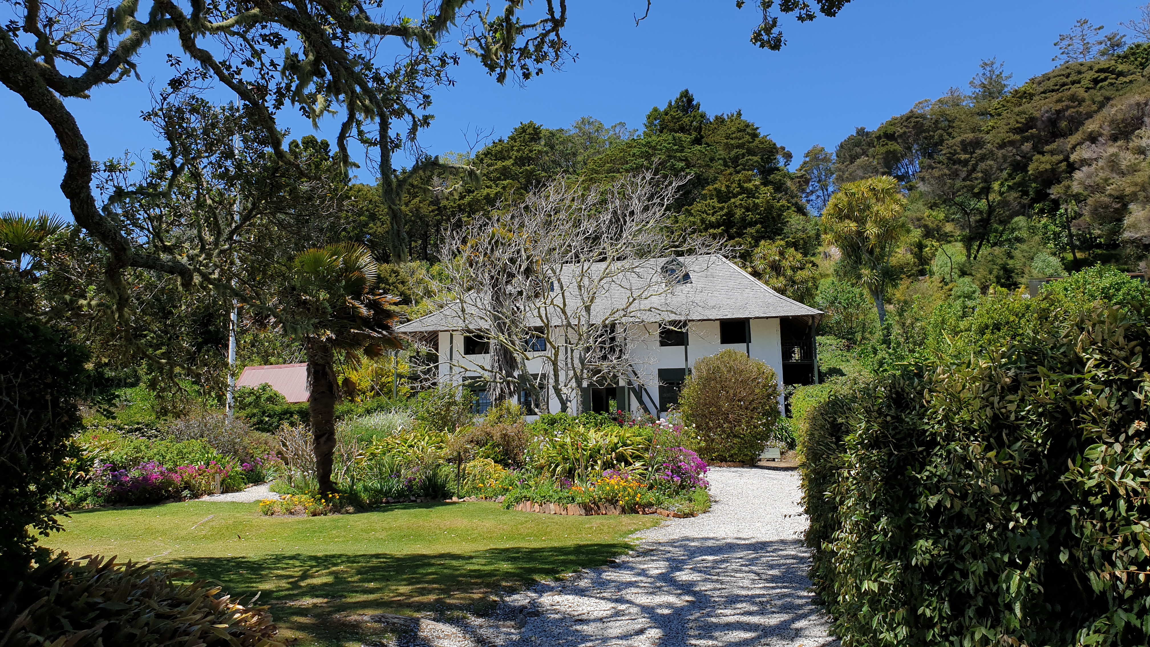
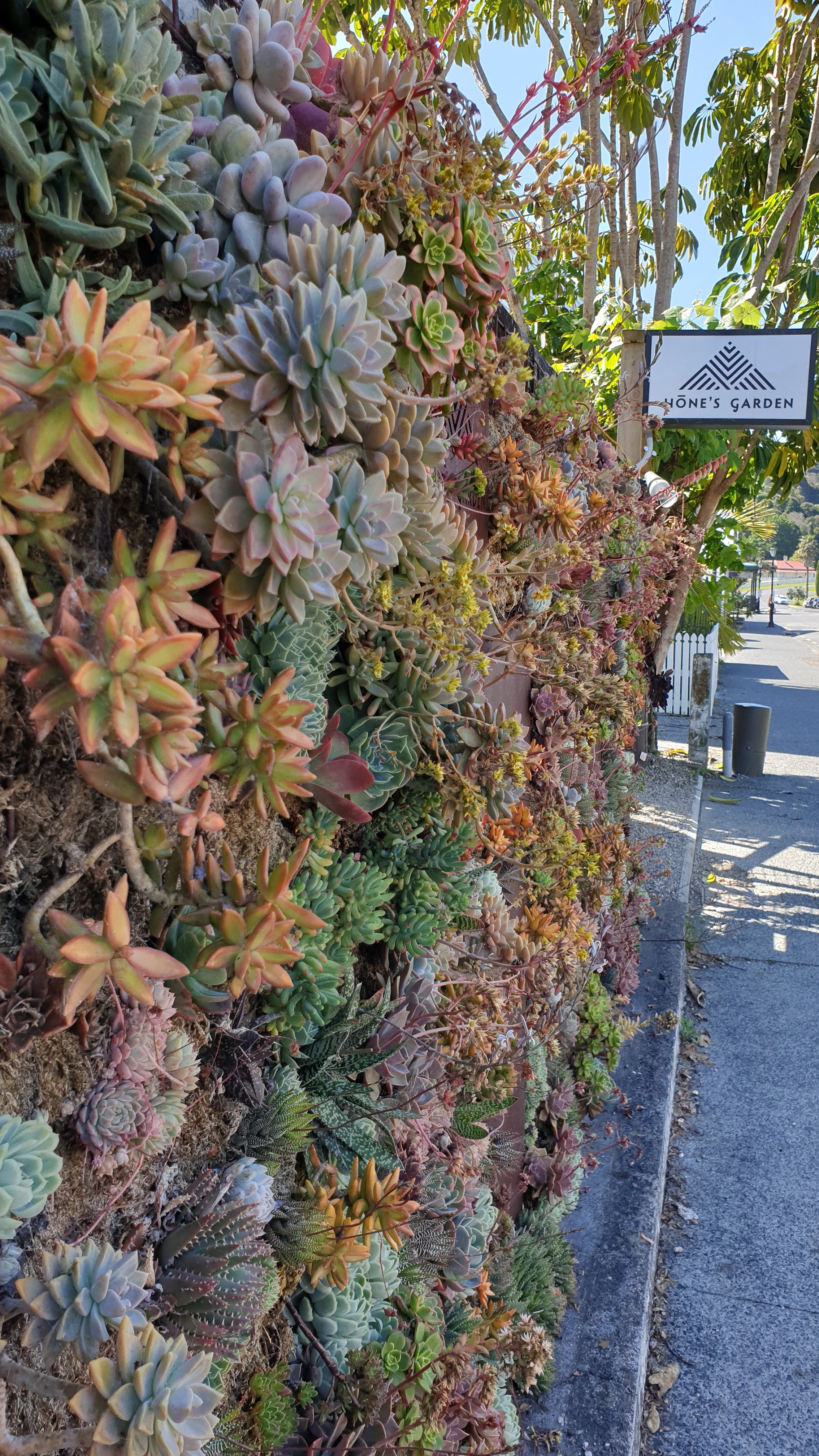
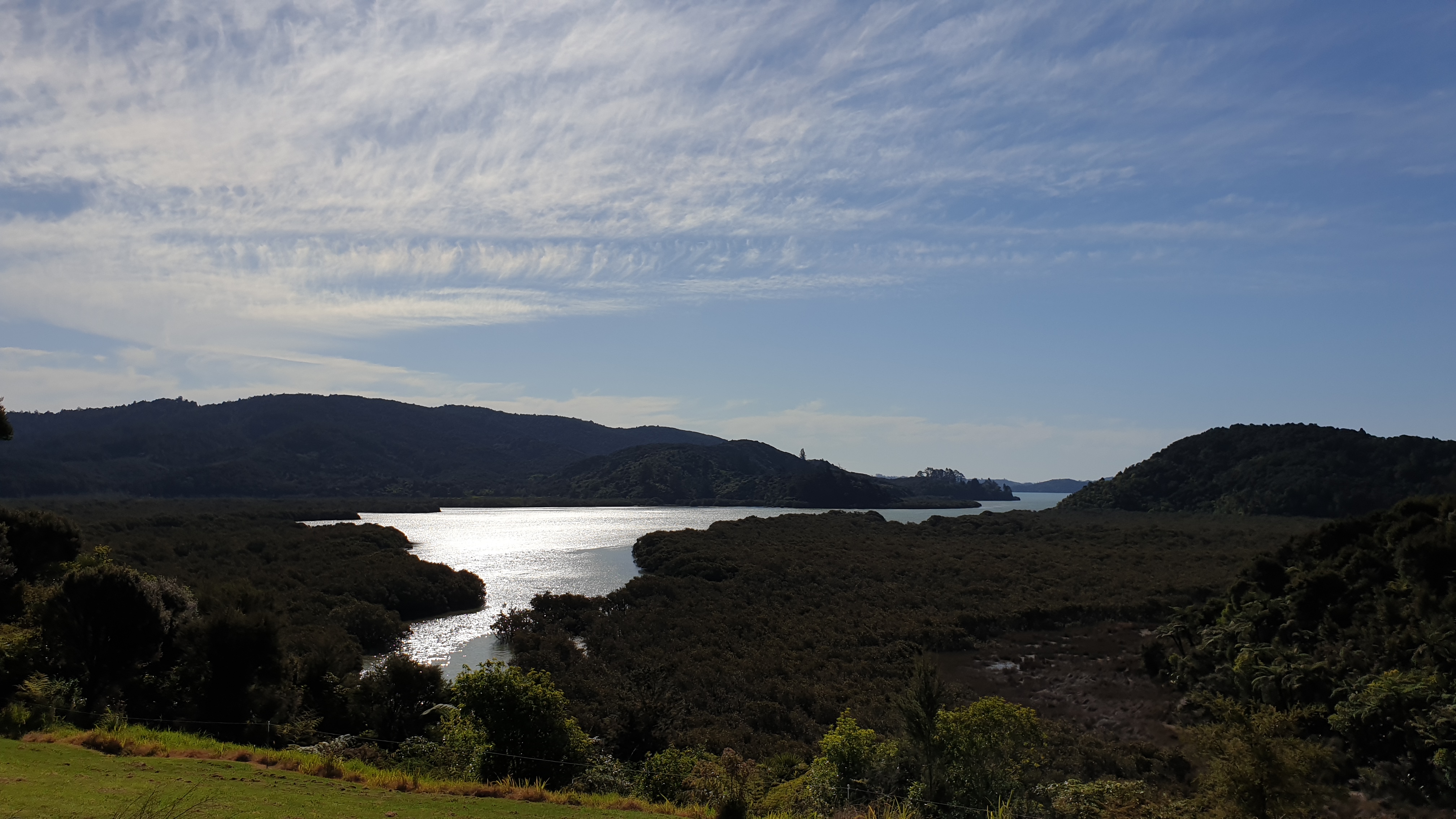
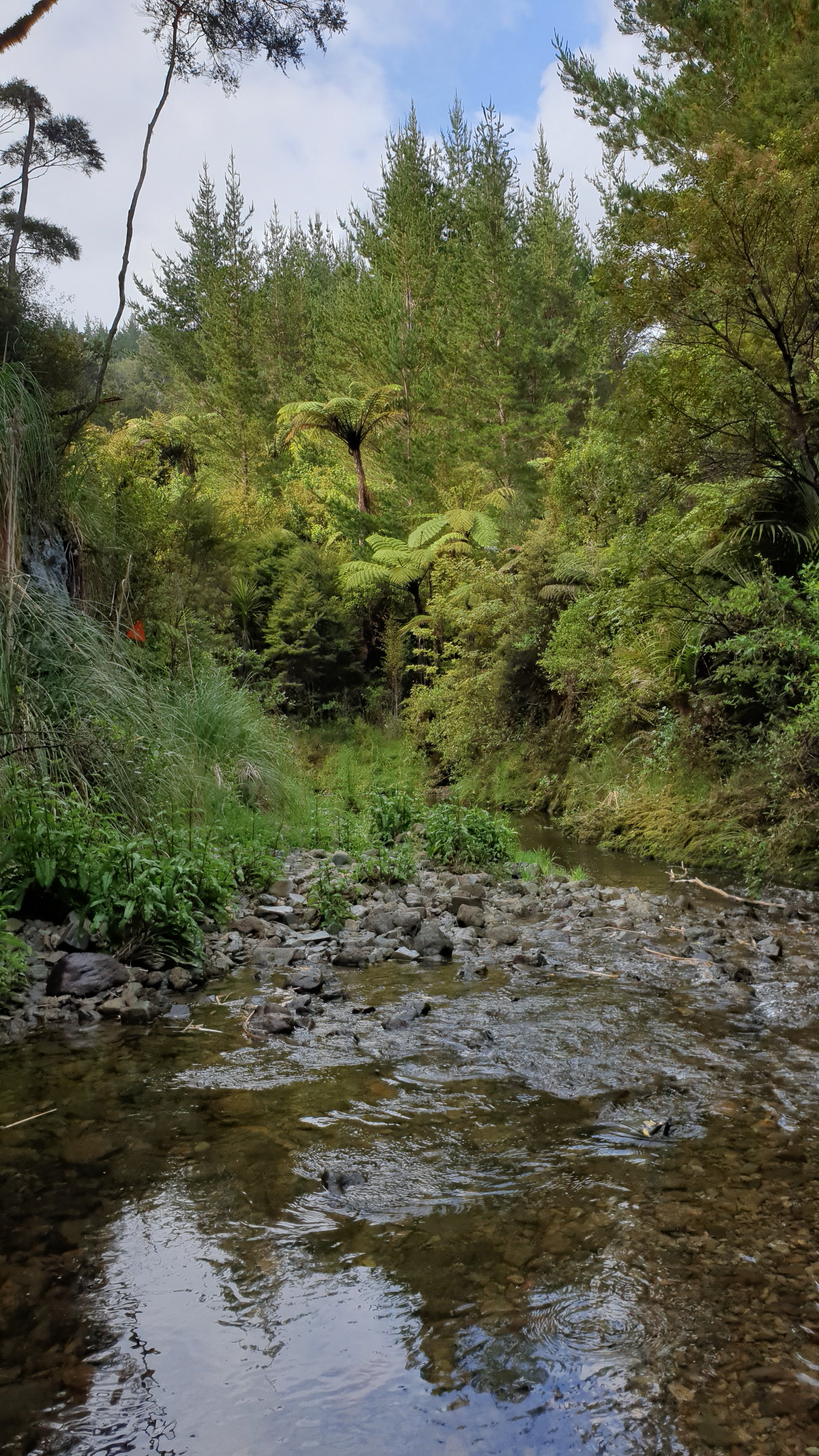
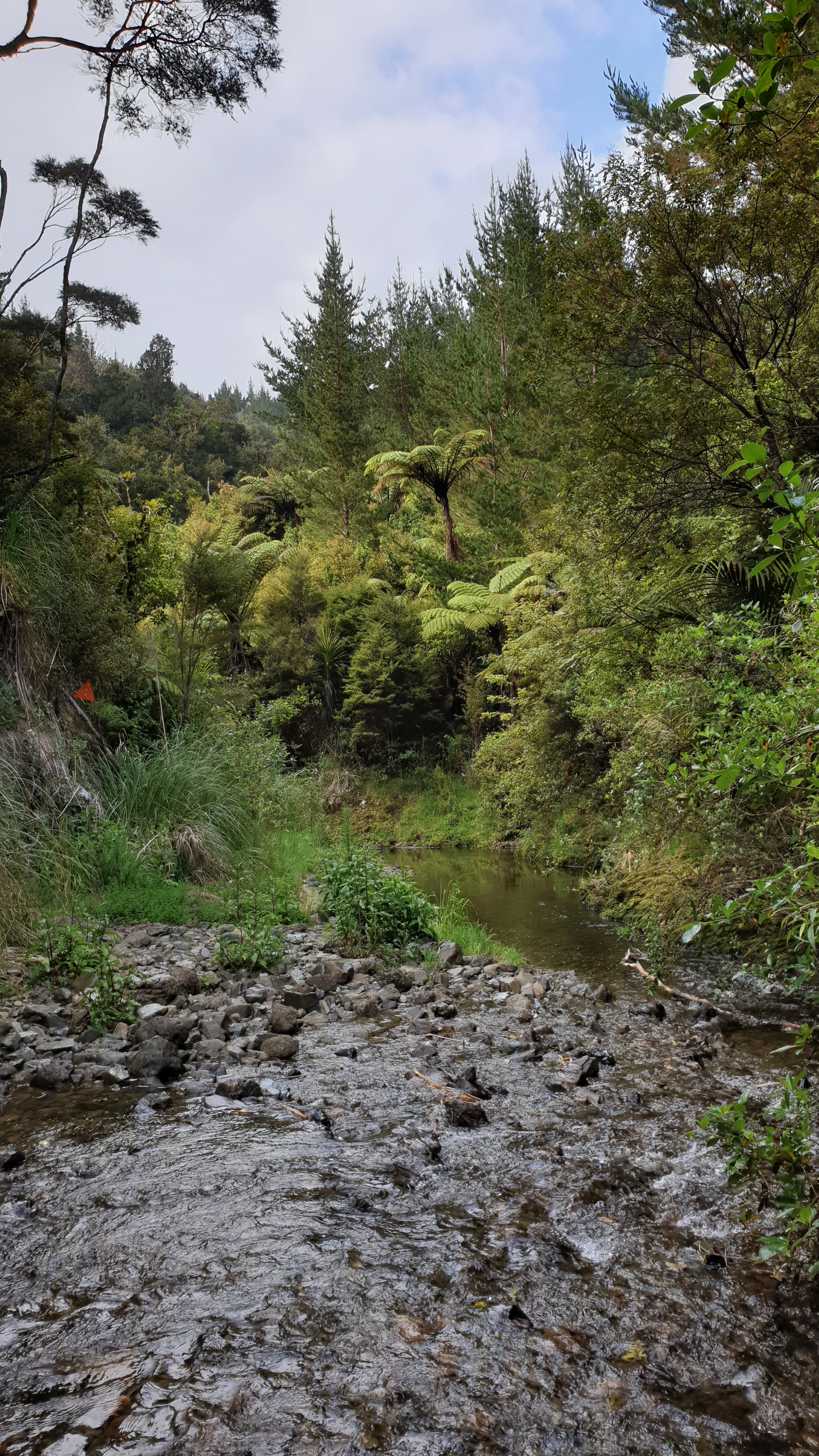
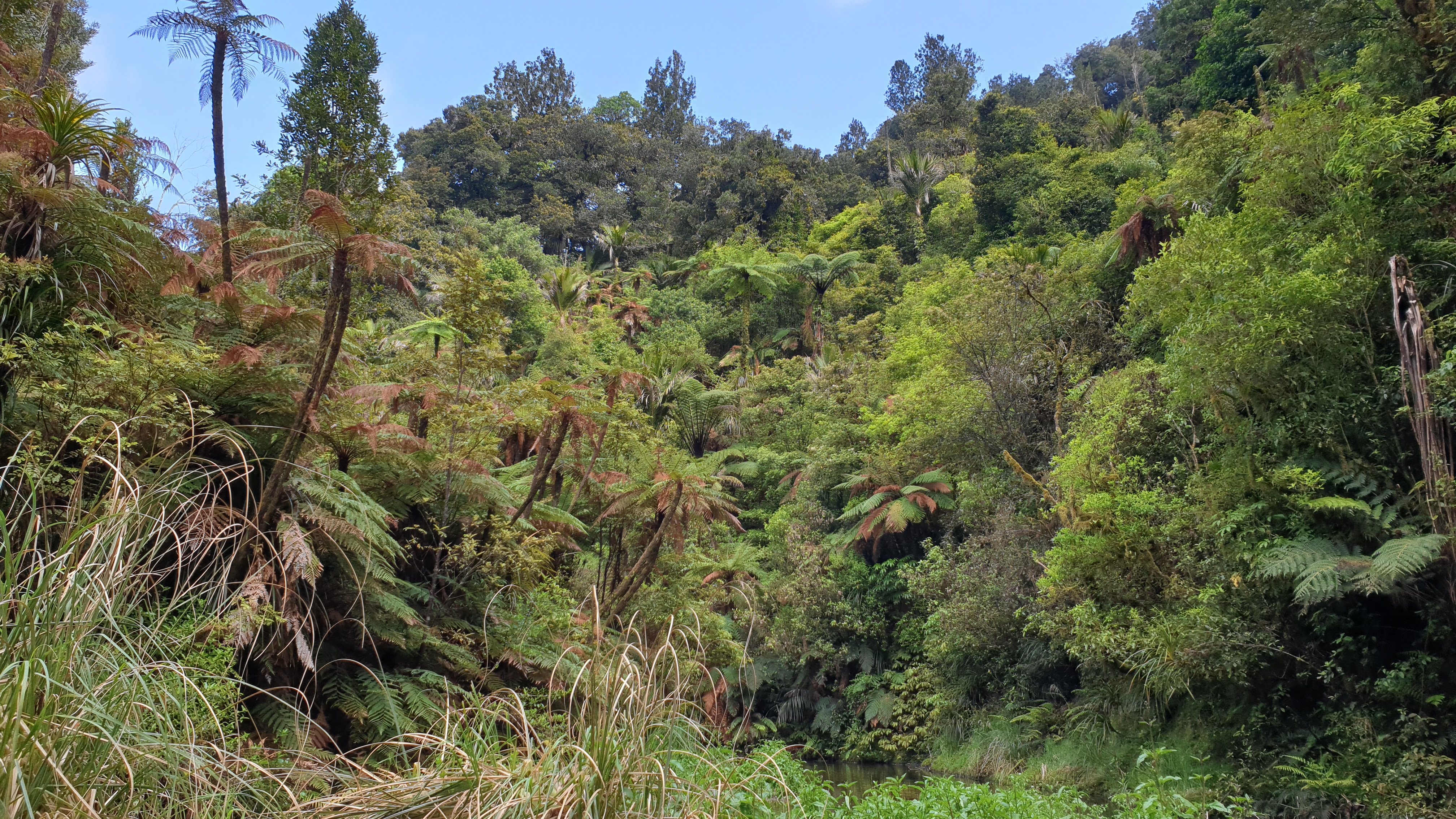
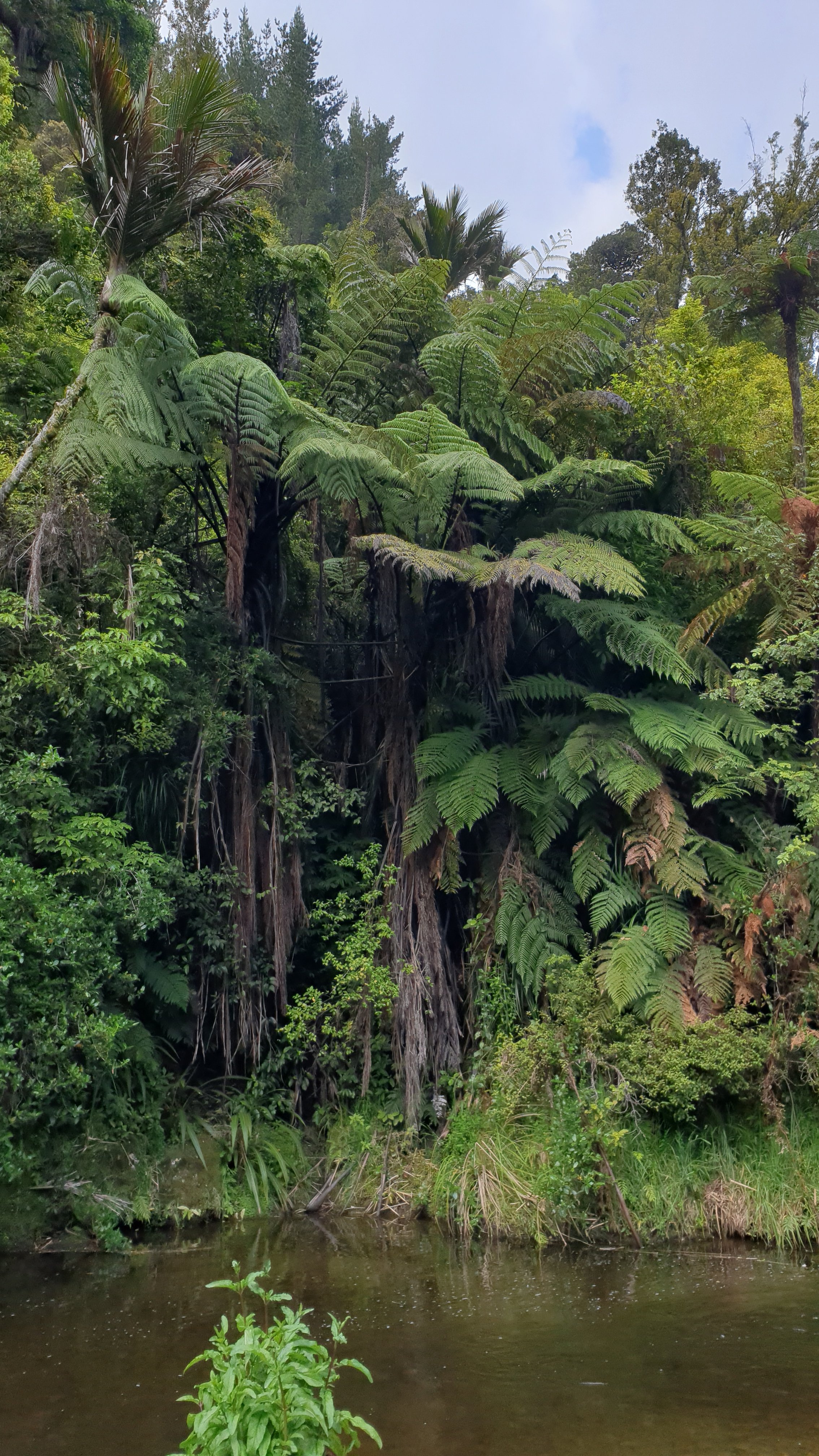
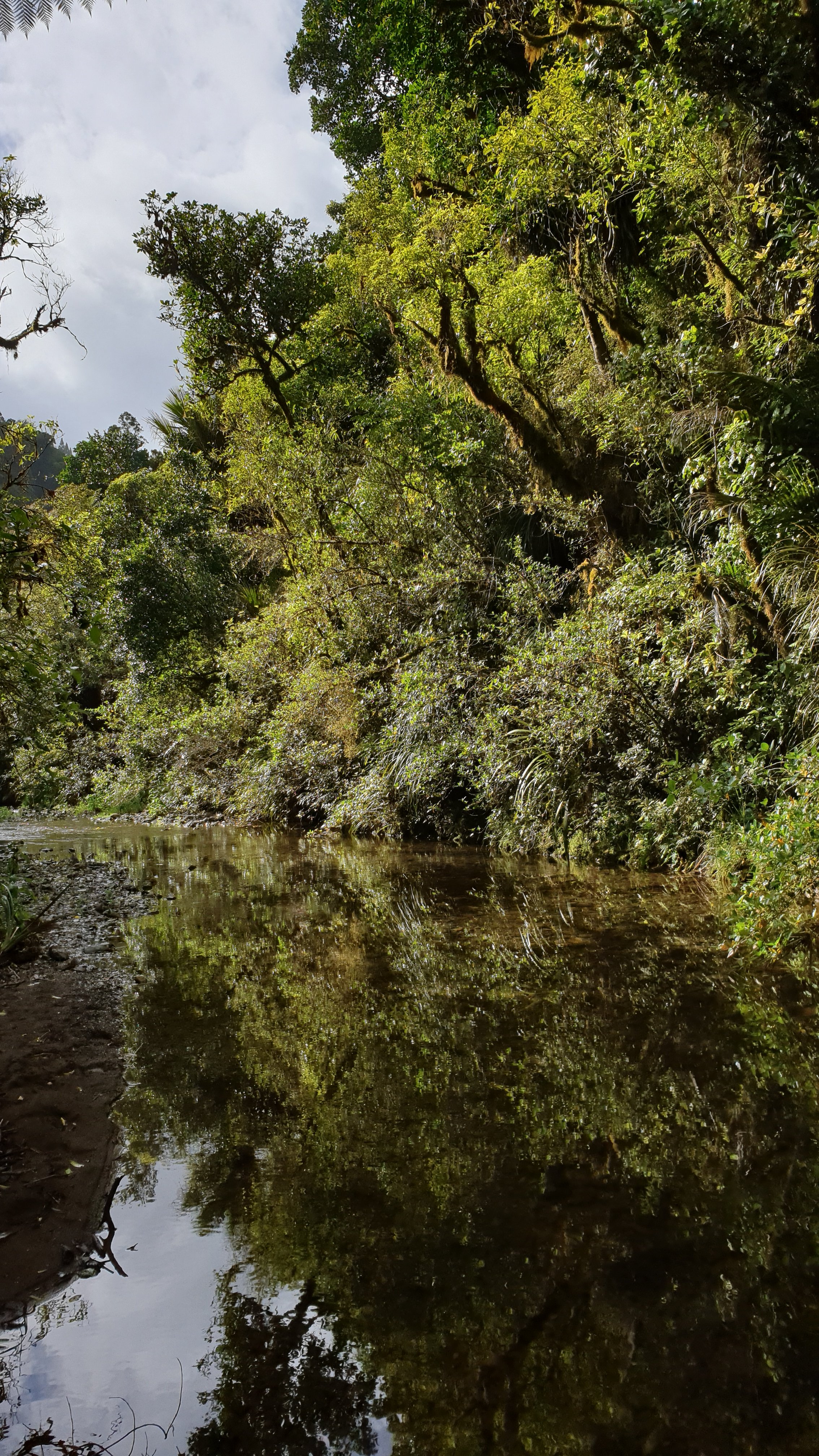
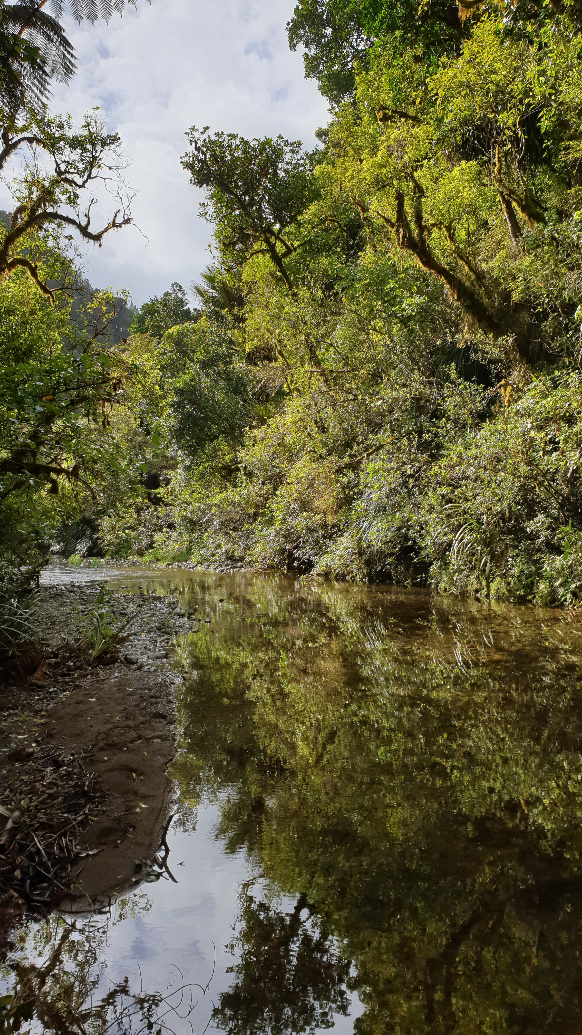
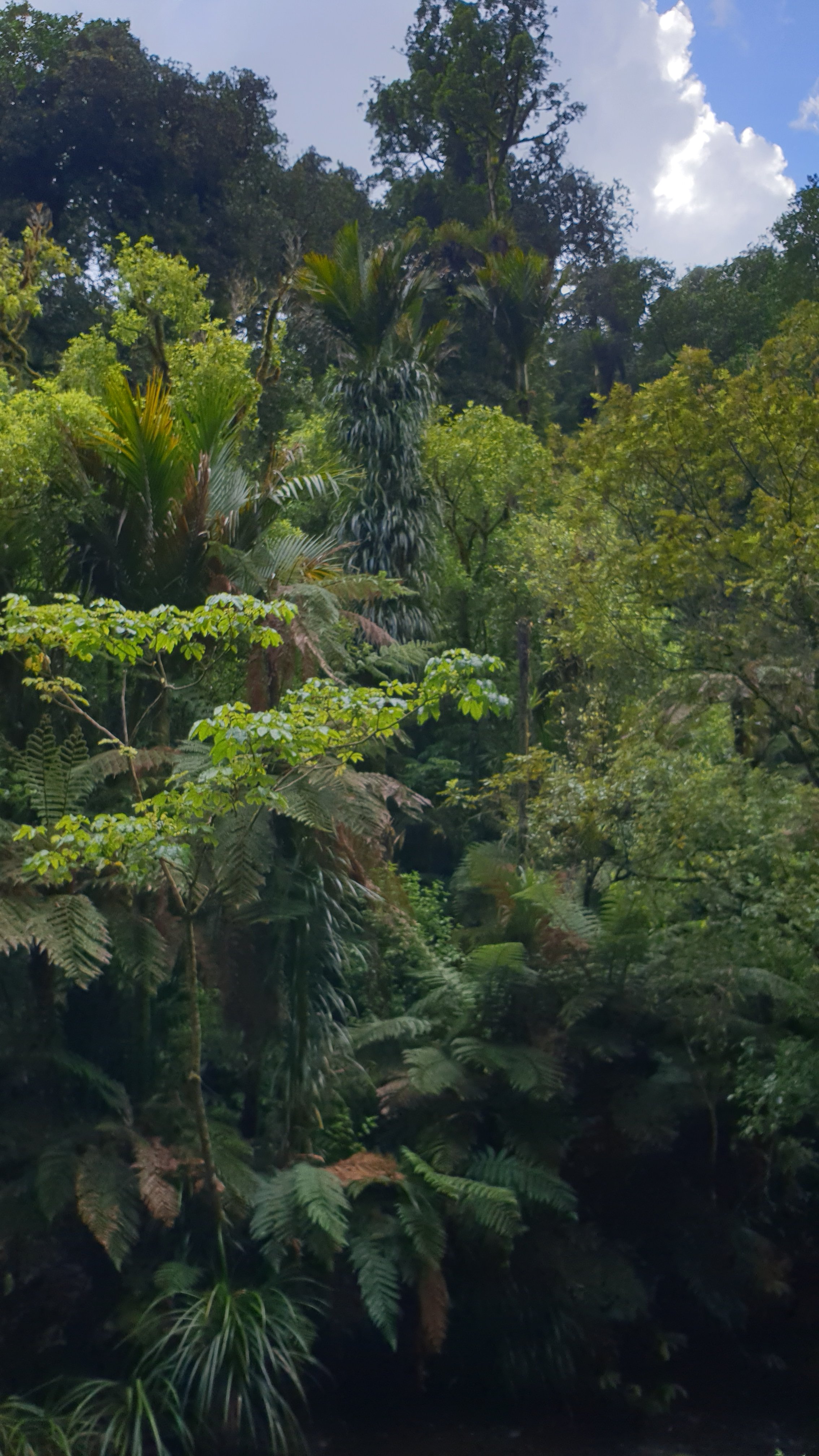
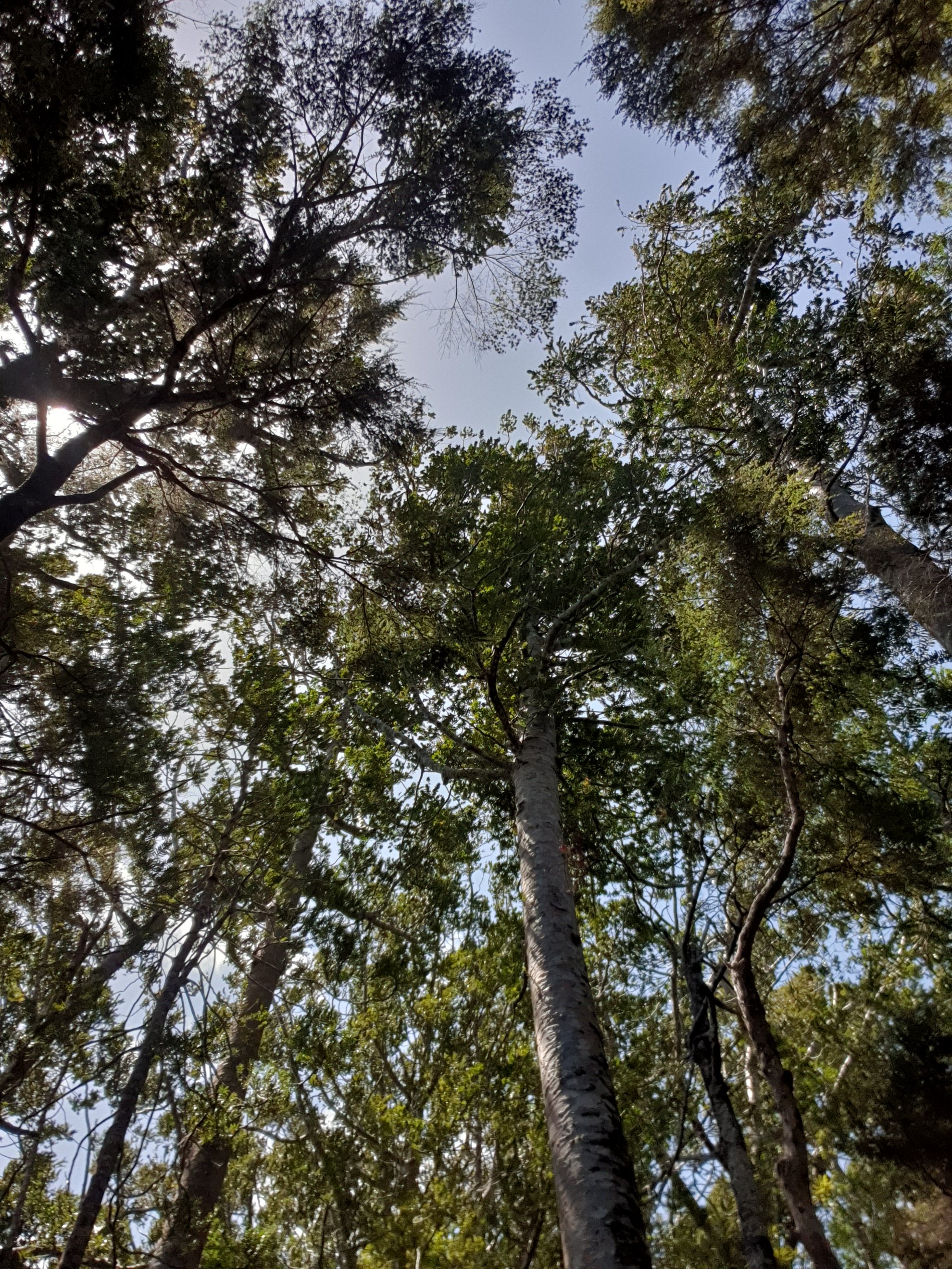
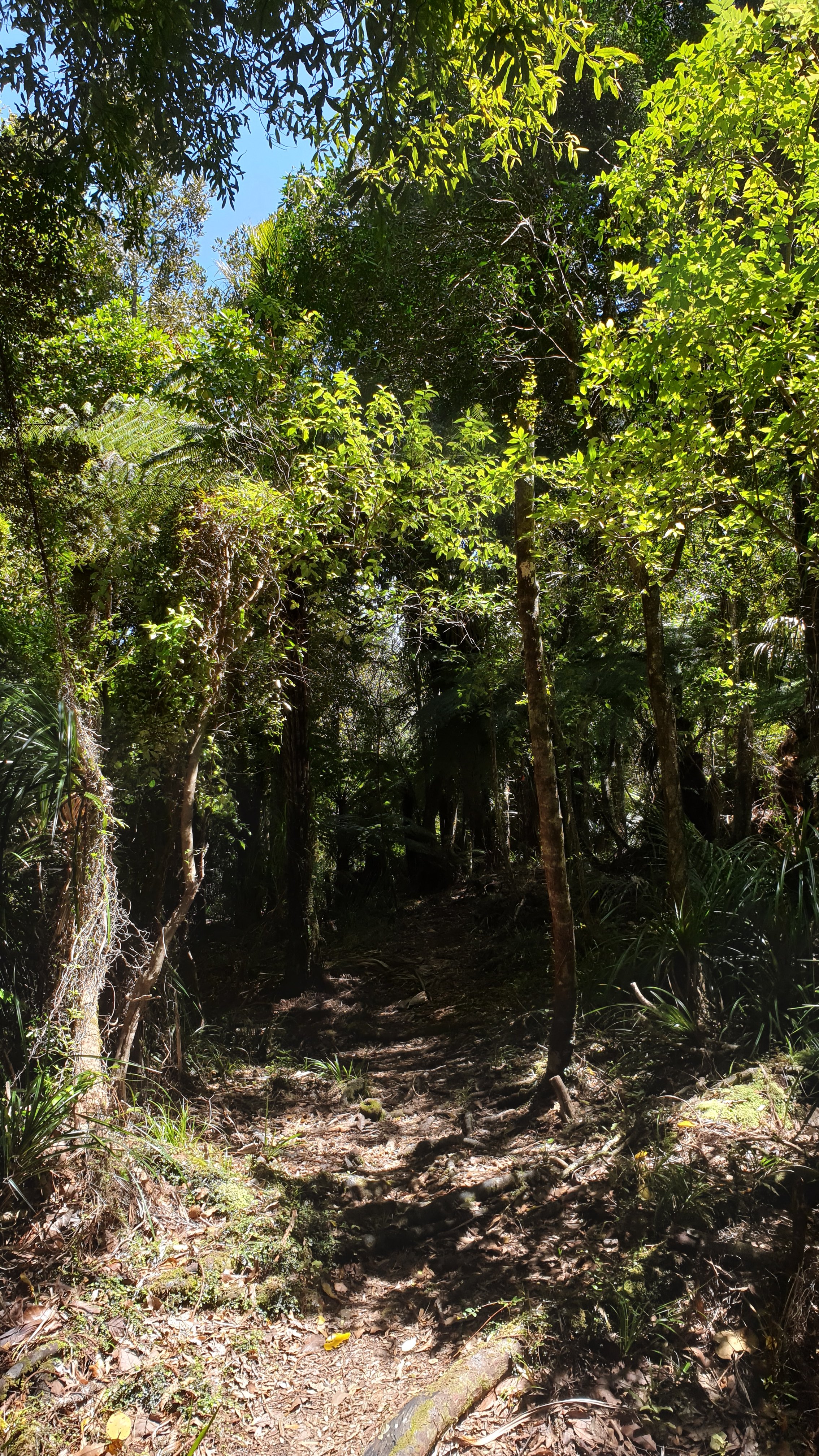
I spent most of my time in hermit phase as I was sick of people and irritated by the lot that I shared accommodation with for 5 weeks.Despite this I did a few walks but not long ones as my Achilles kept getting inflamed when I did. Some photos below.
Weather has overall been very good here with only a few rainy days.As I write this I have 1 month to fill in Auckland or maybe more- depending on if I can fly to London as planned in April or if Corona Virus will put a stop to that plan and my further plans in Ireland in May.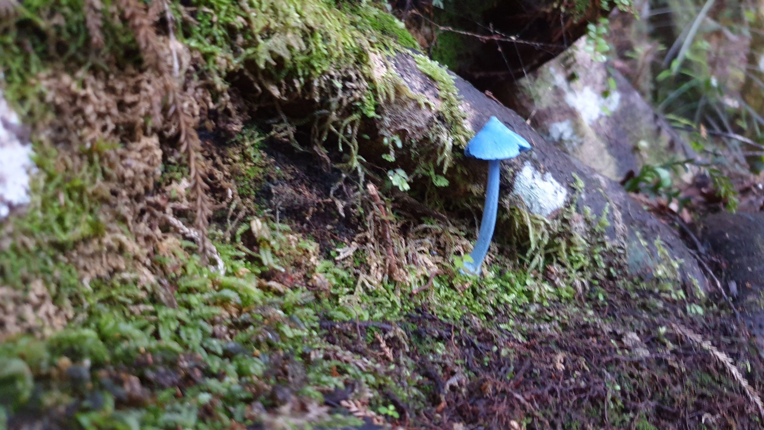
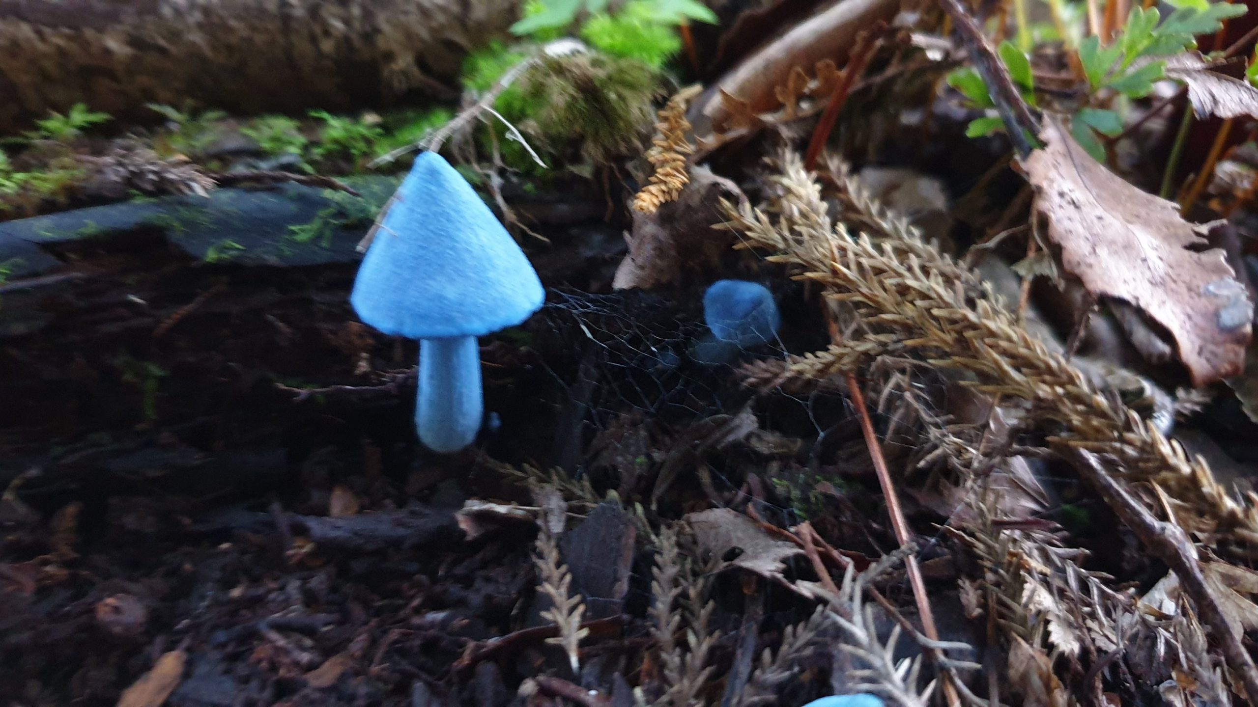
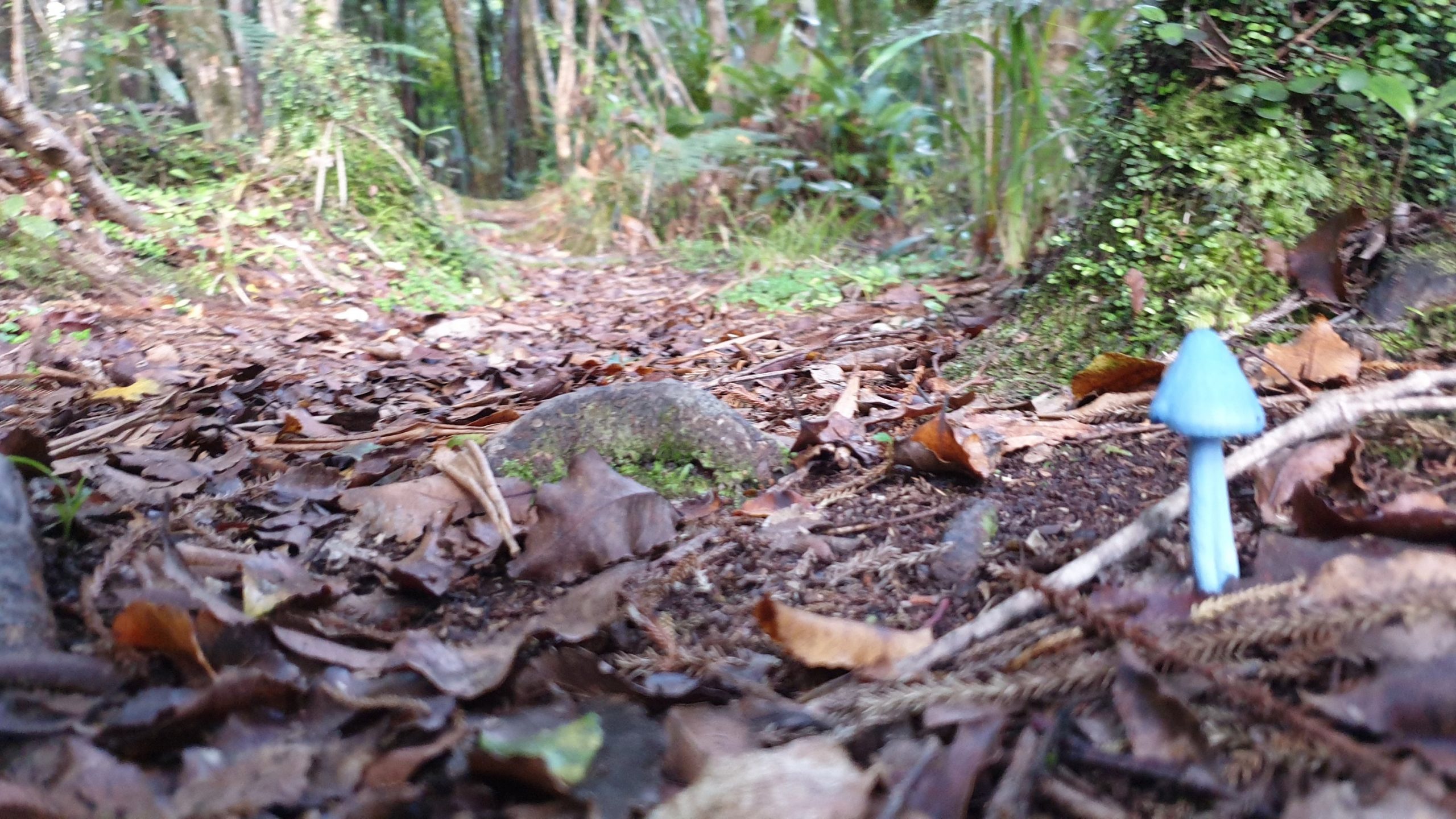
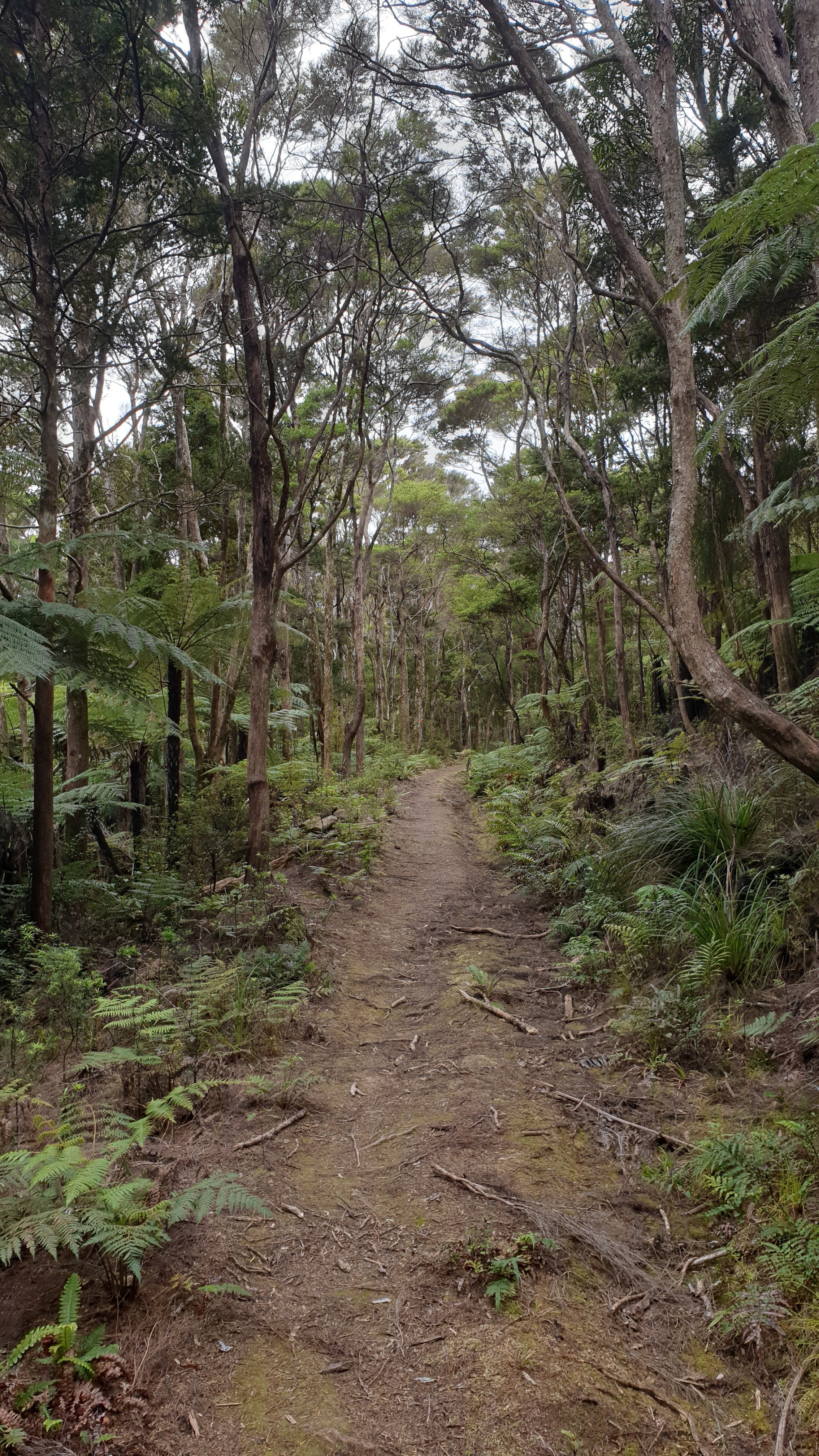
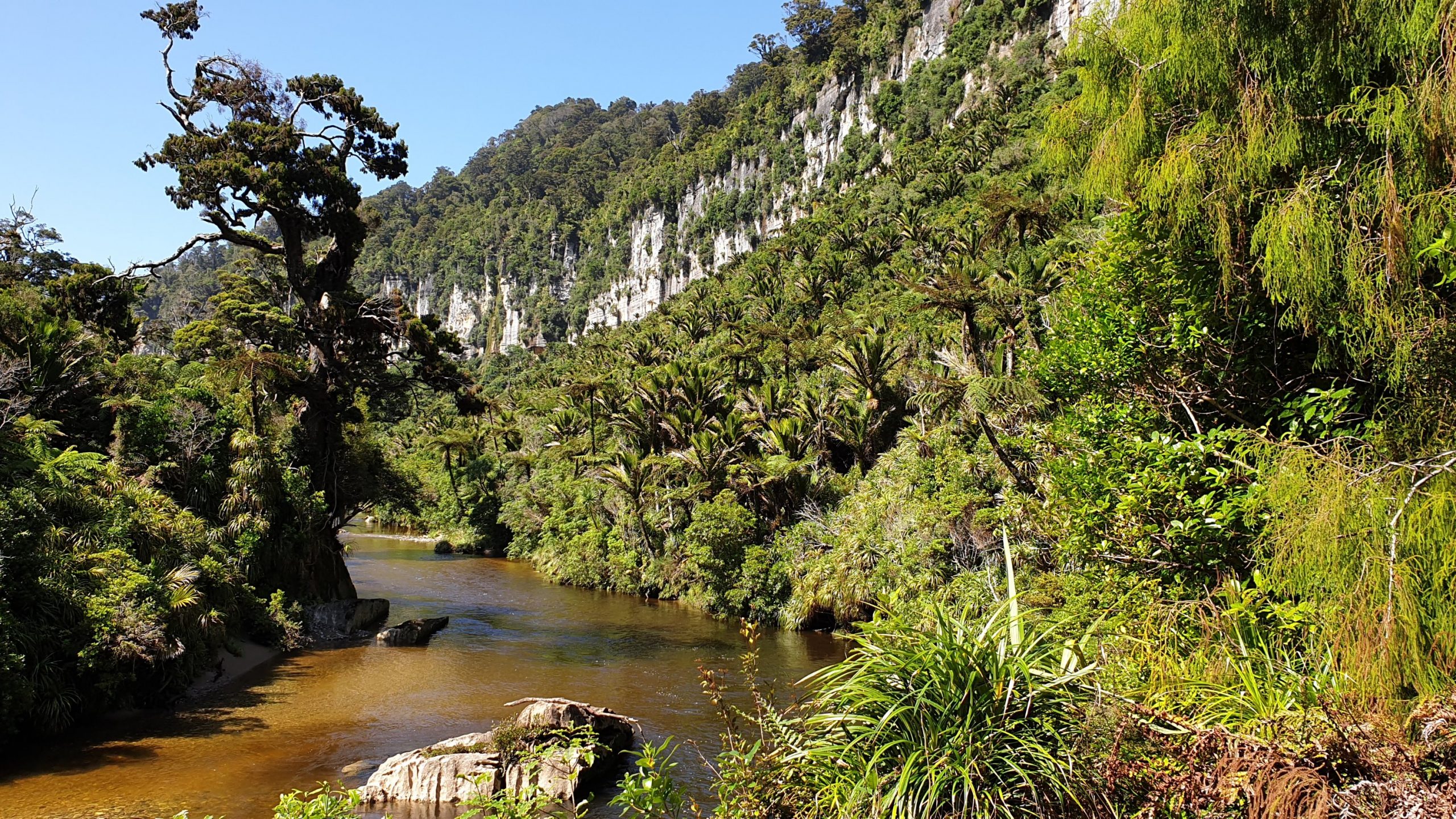 Pororari River Track
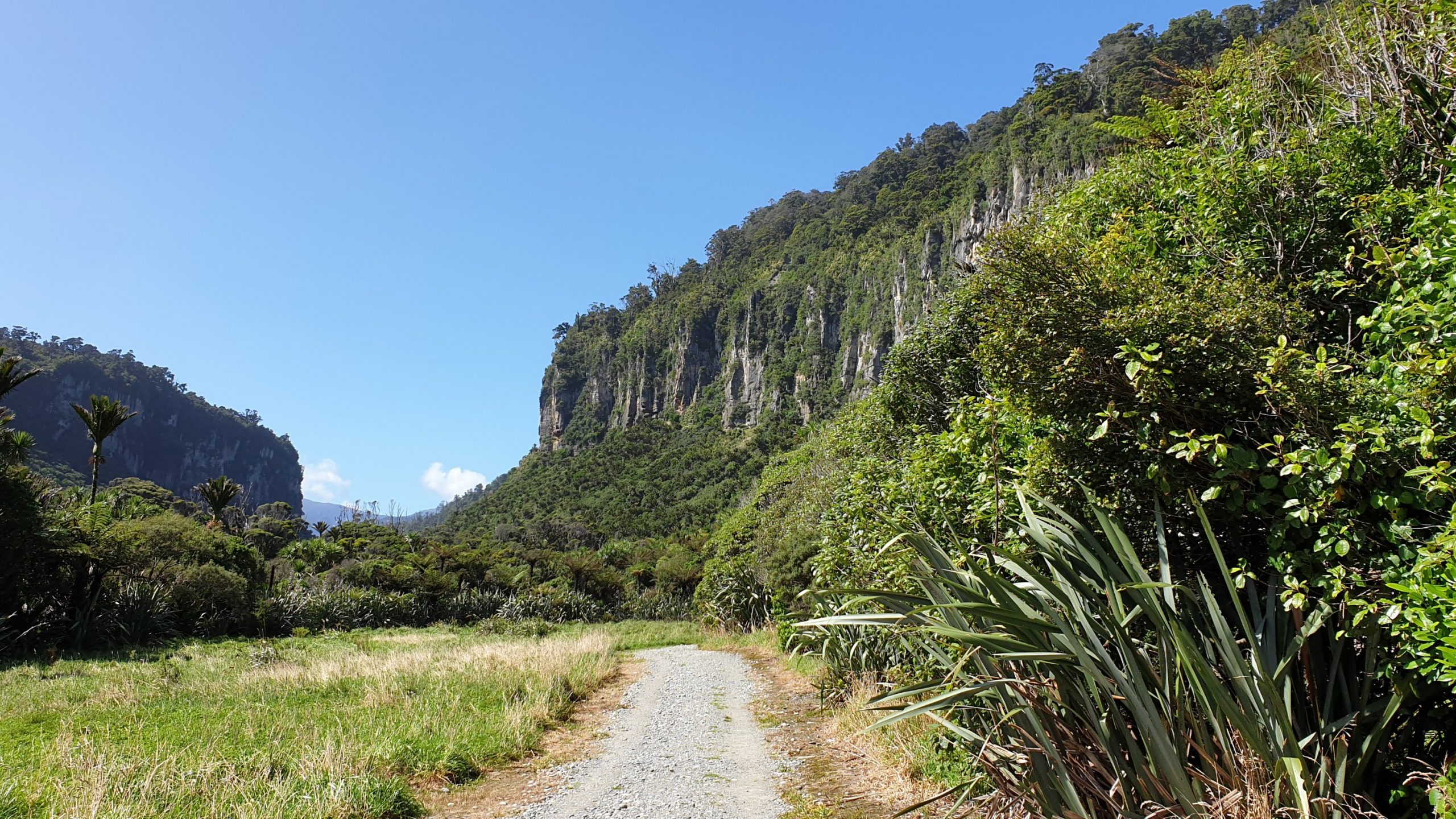
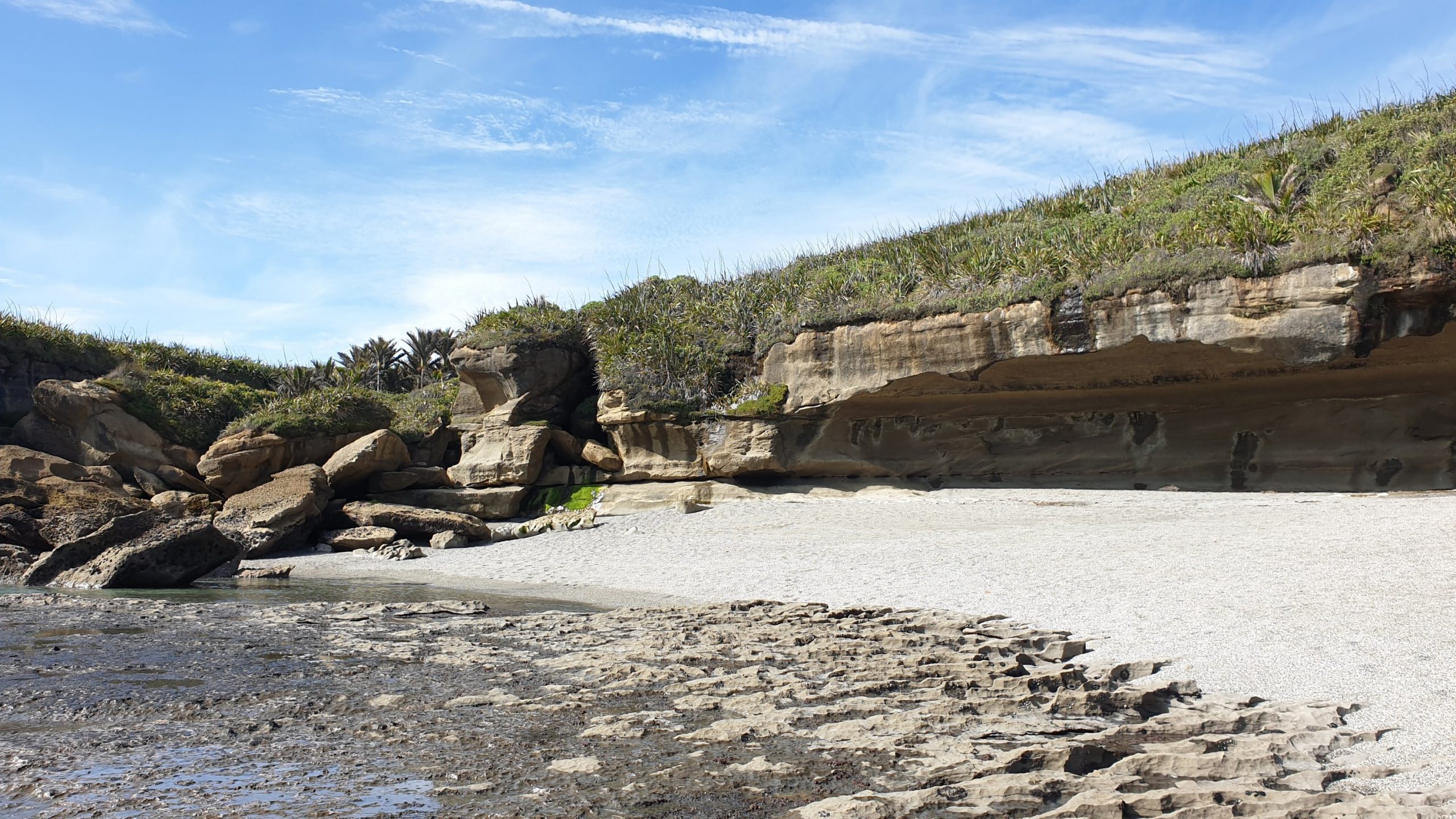
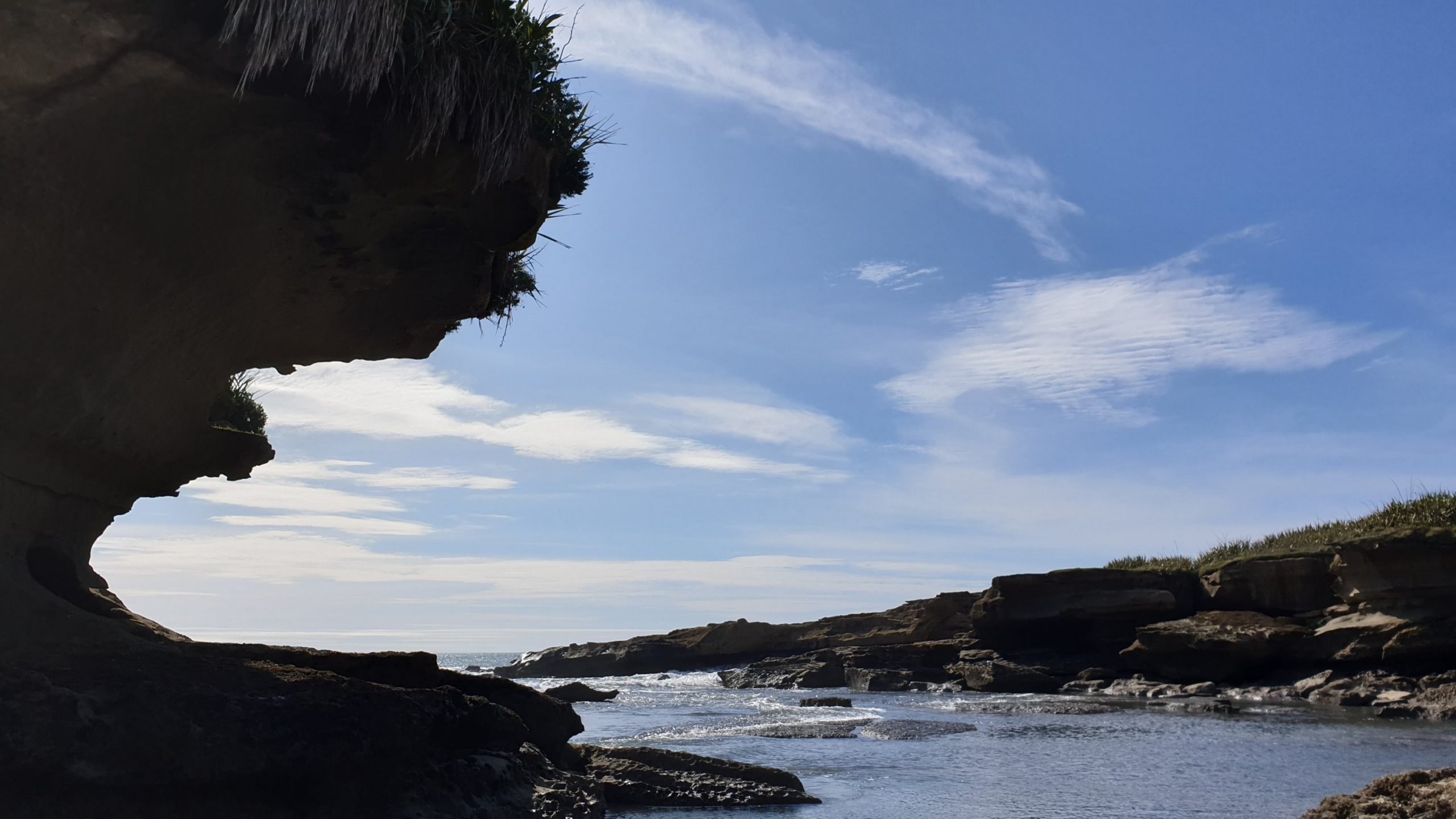
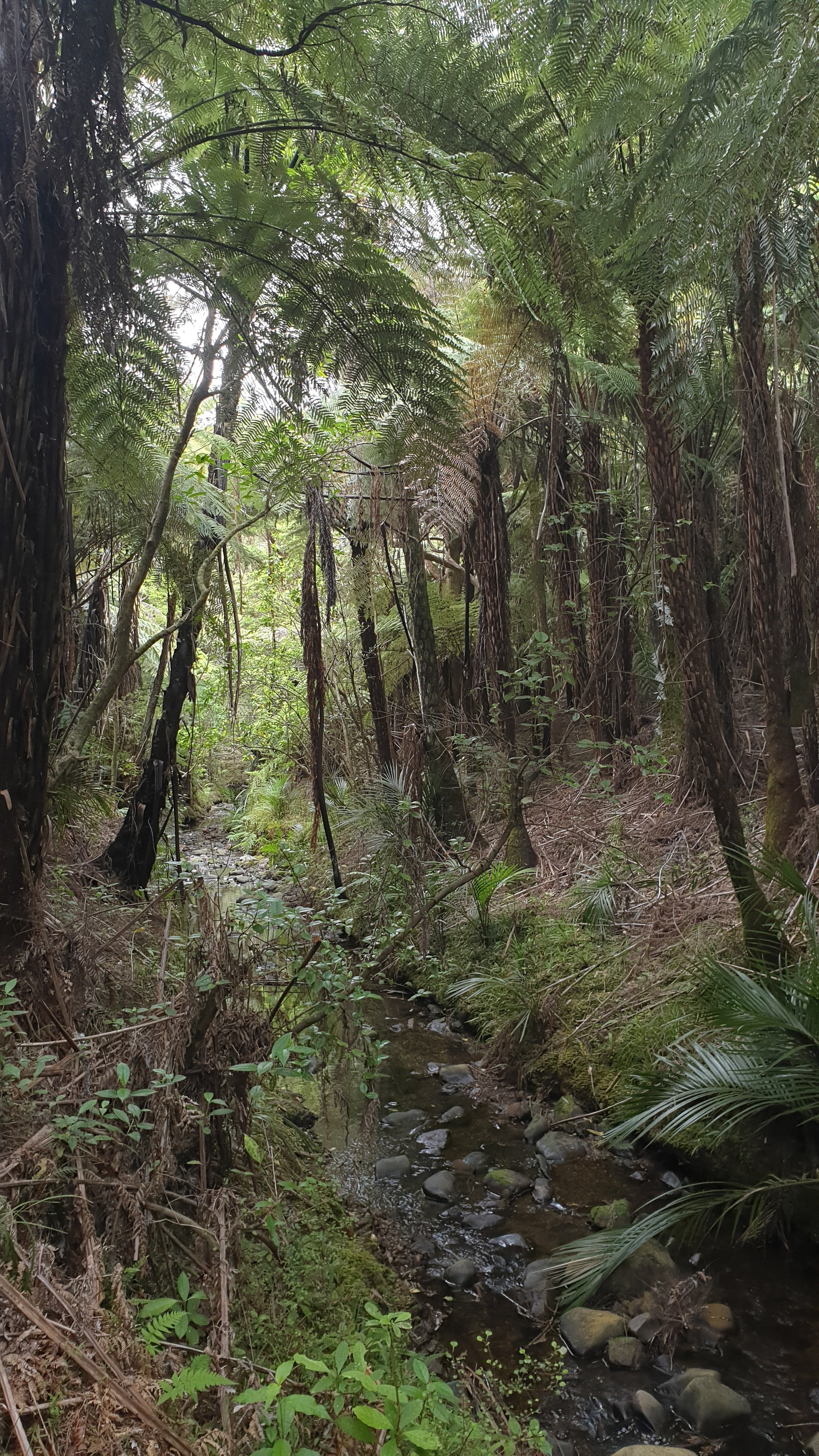
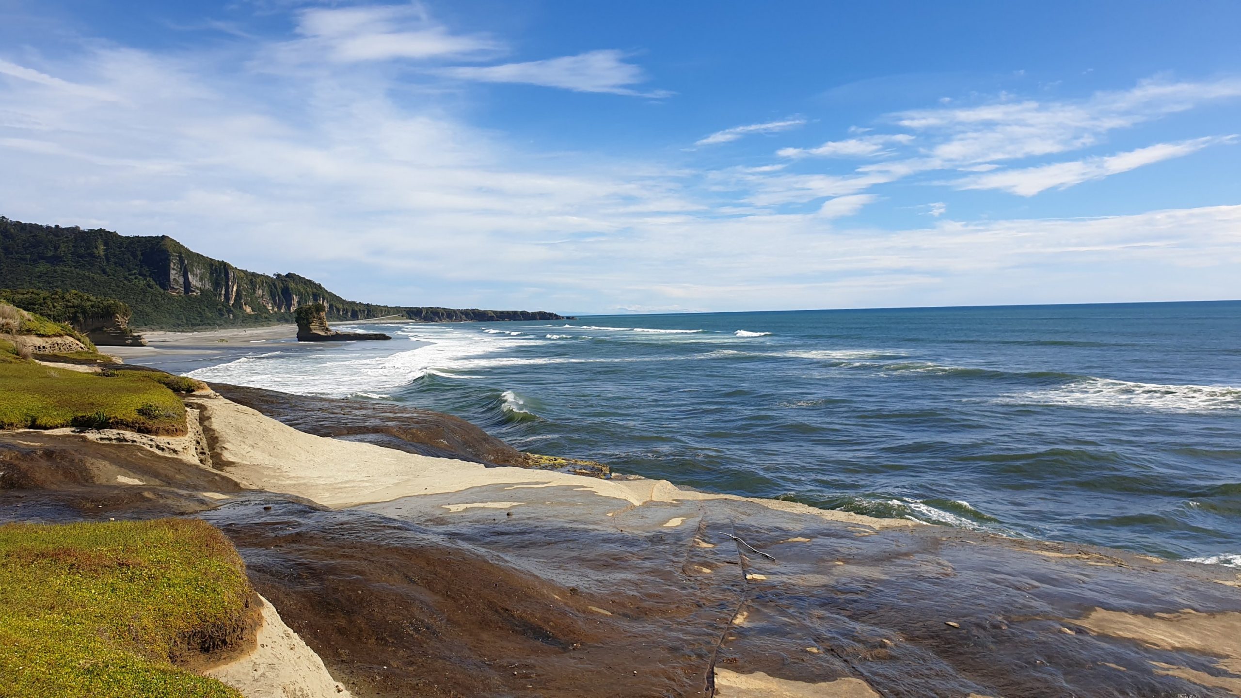 Truman Track
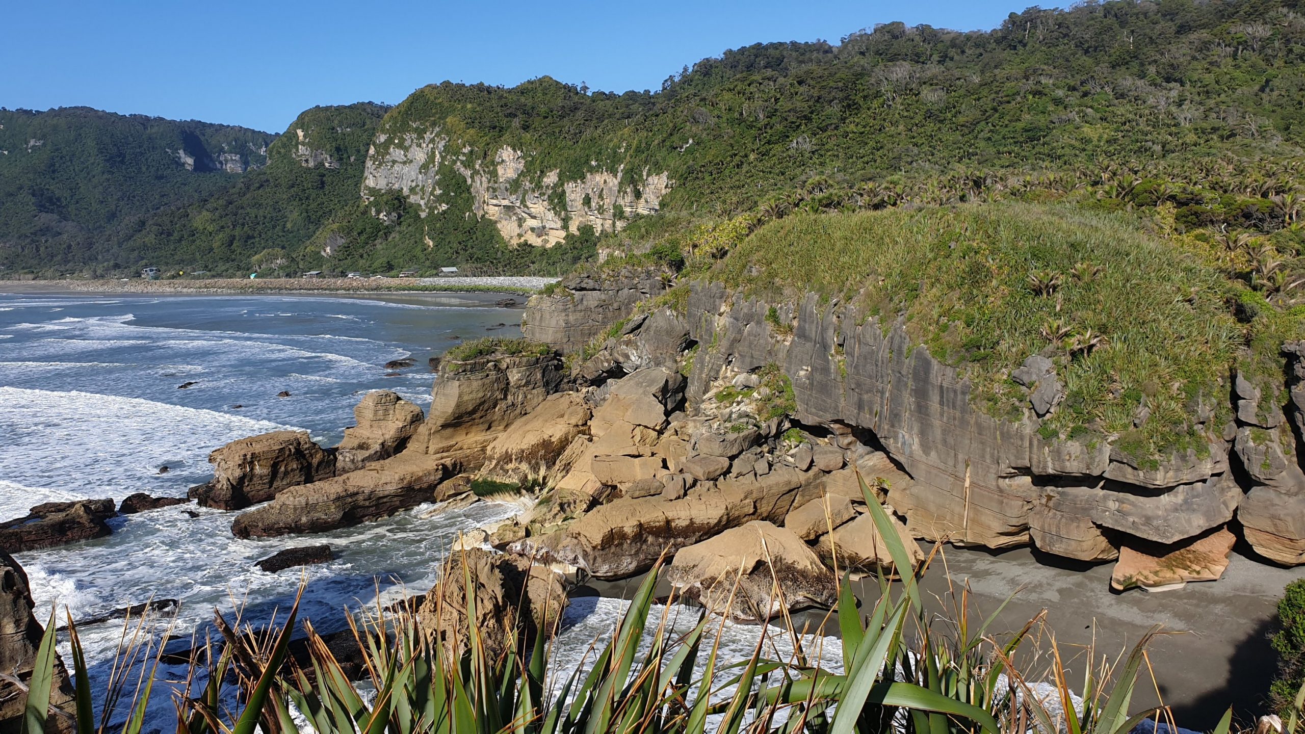
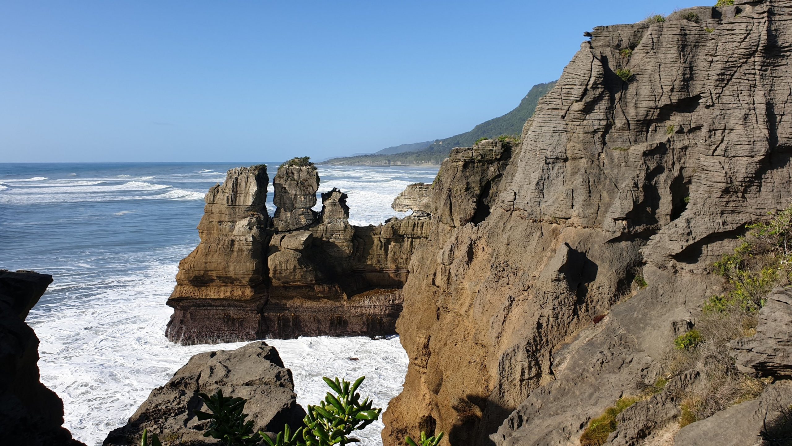
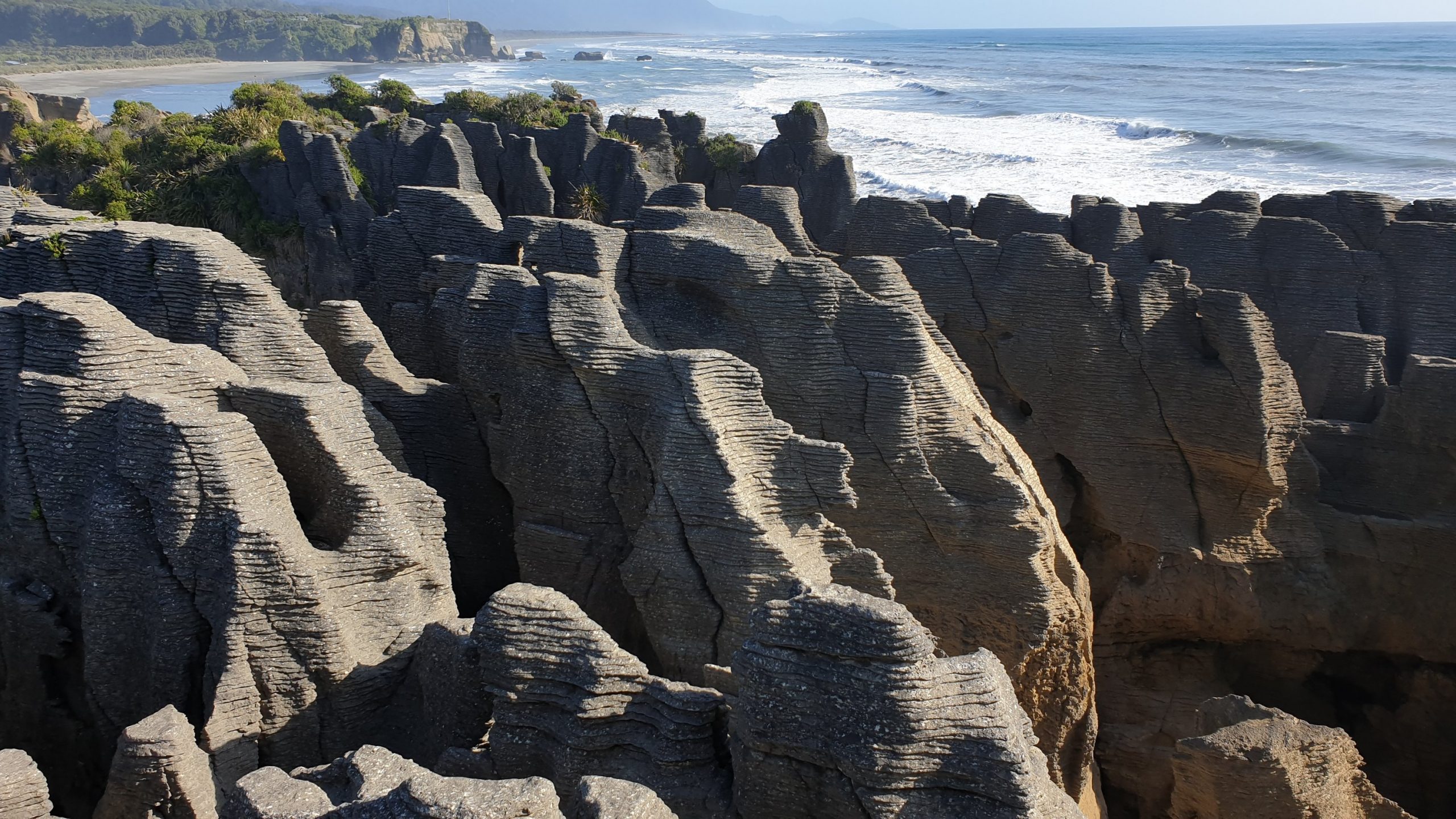 Pancake Rocks
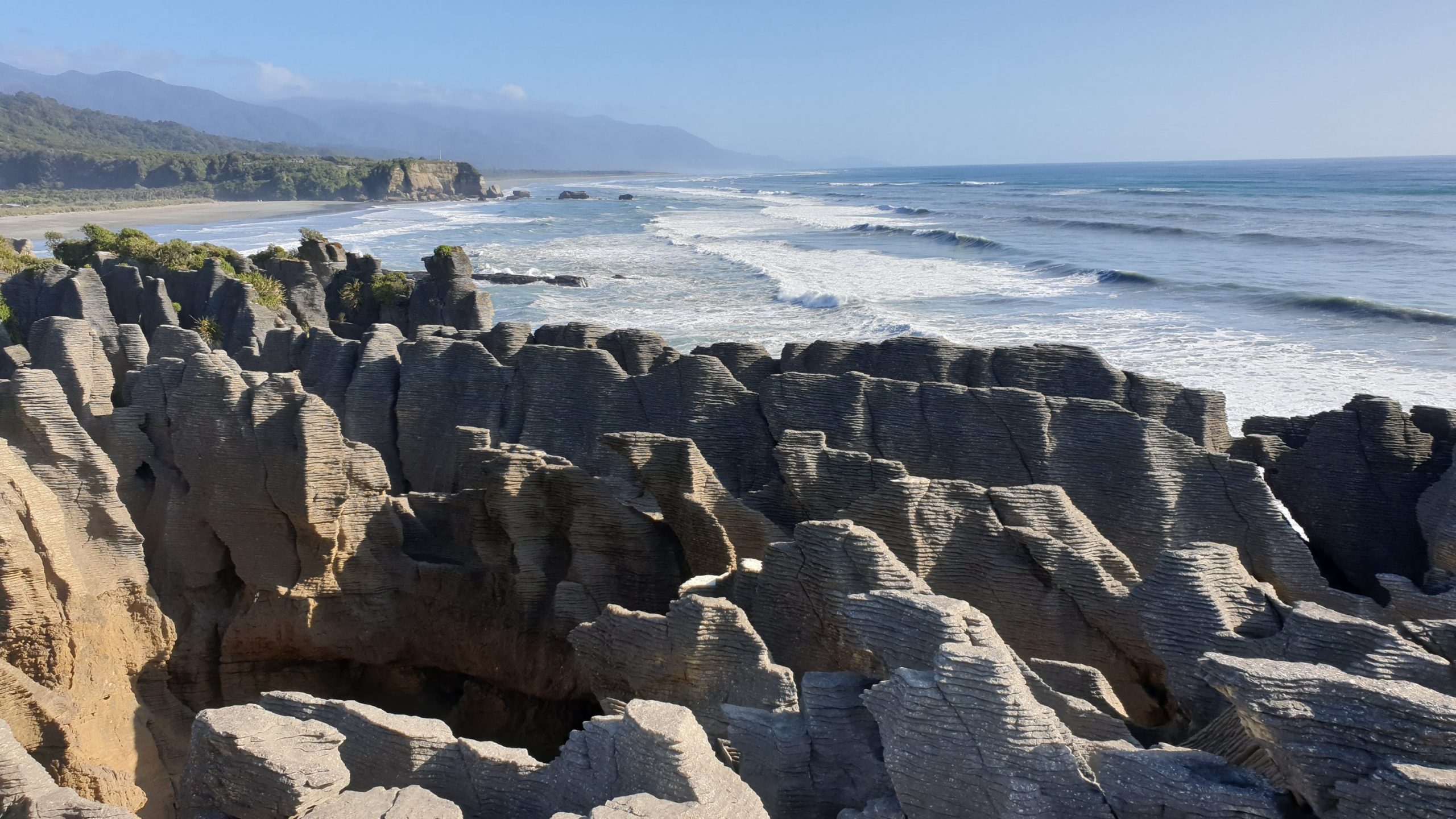 Pancake Rocks
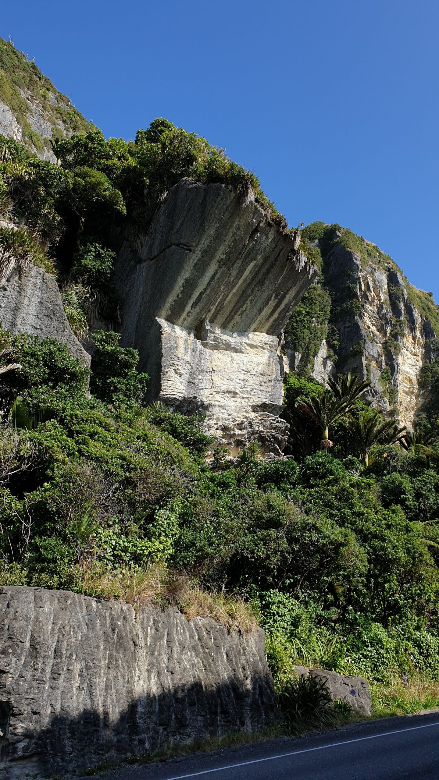
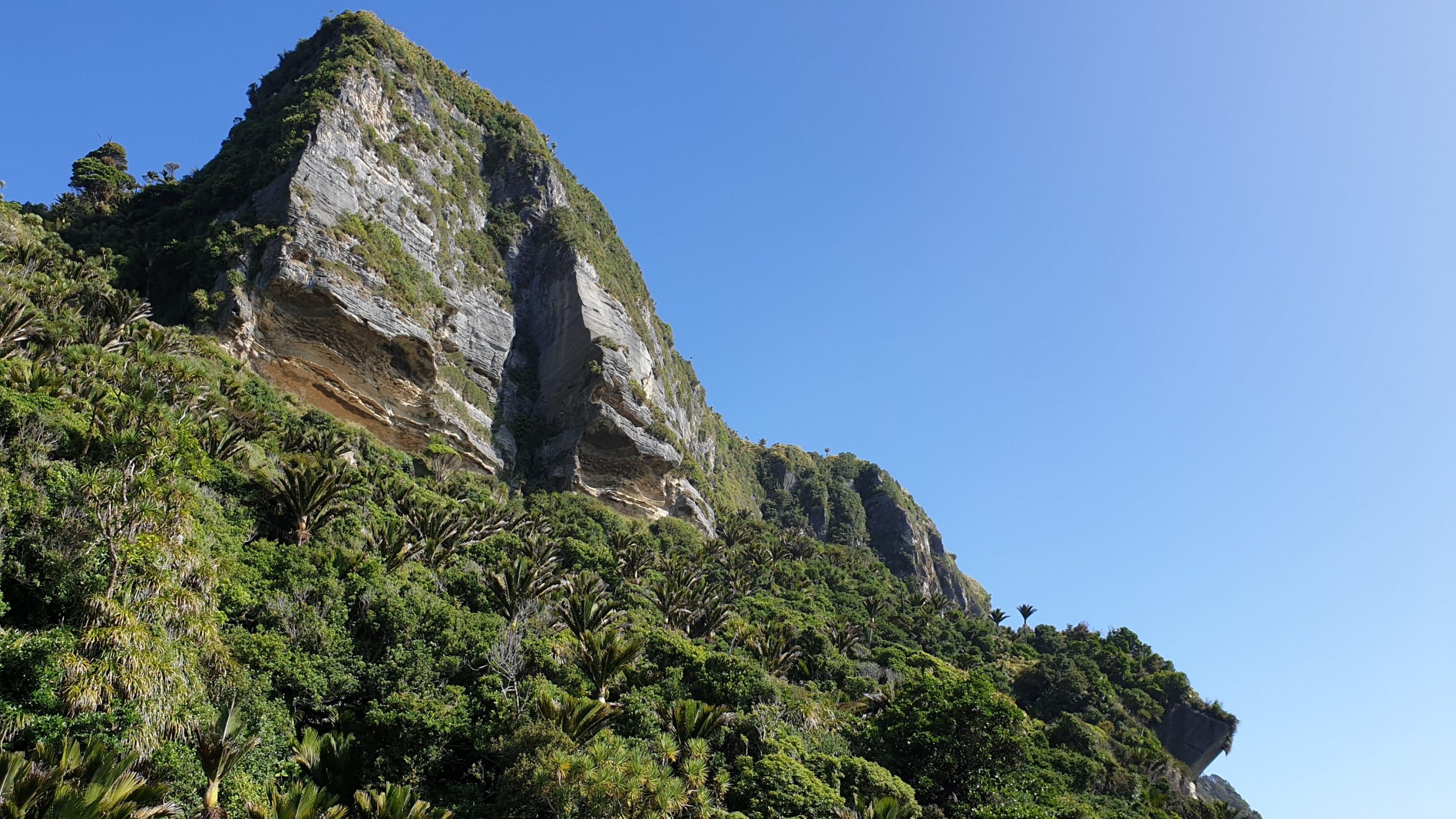
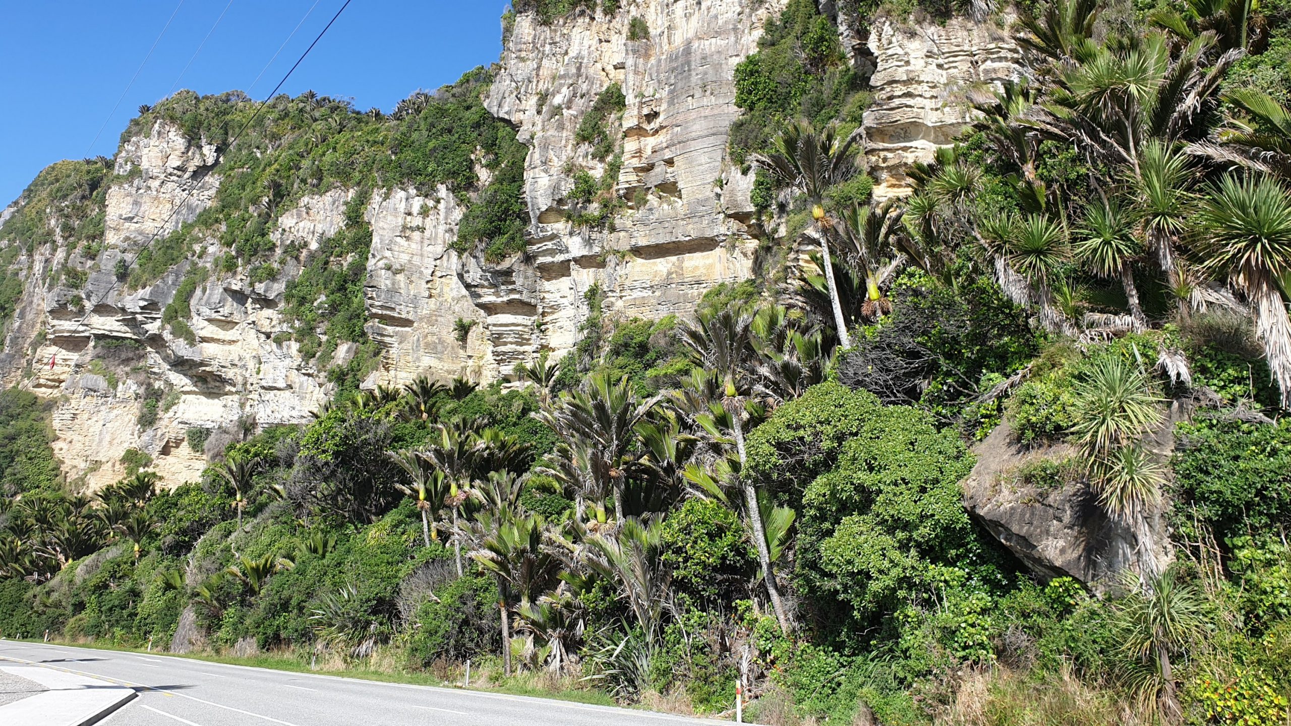
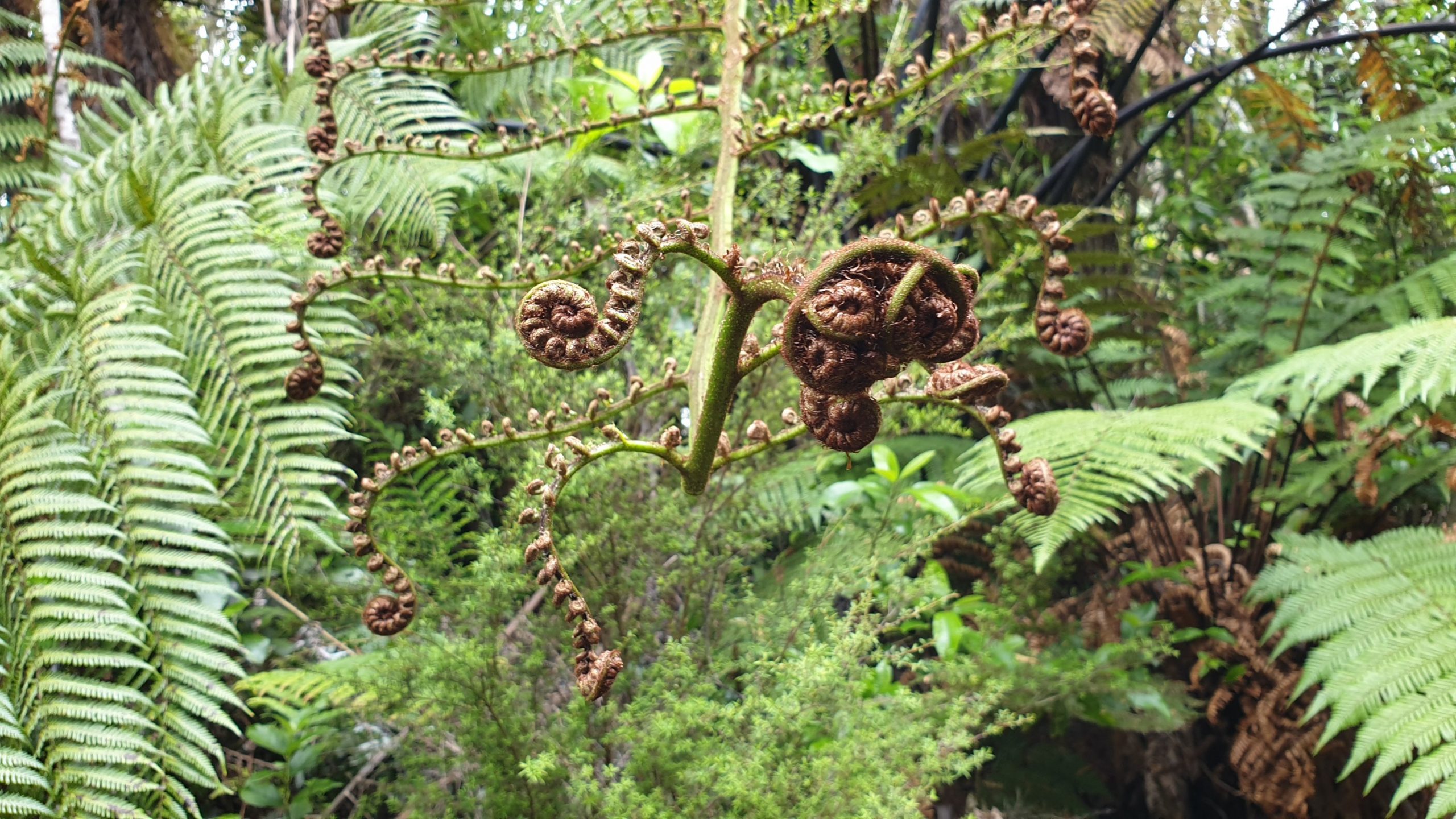
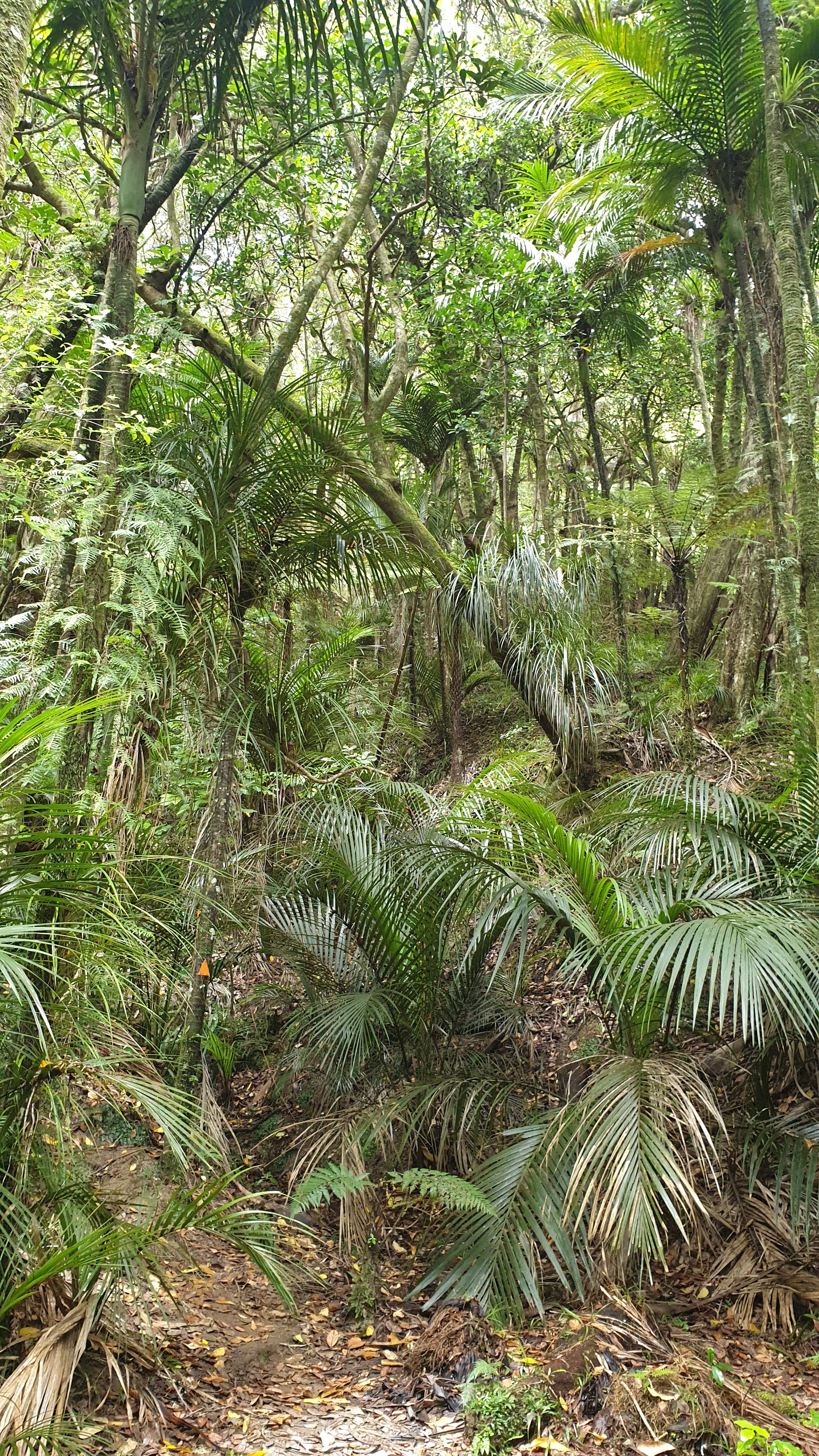
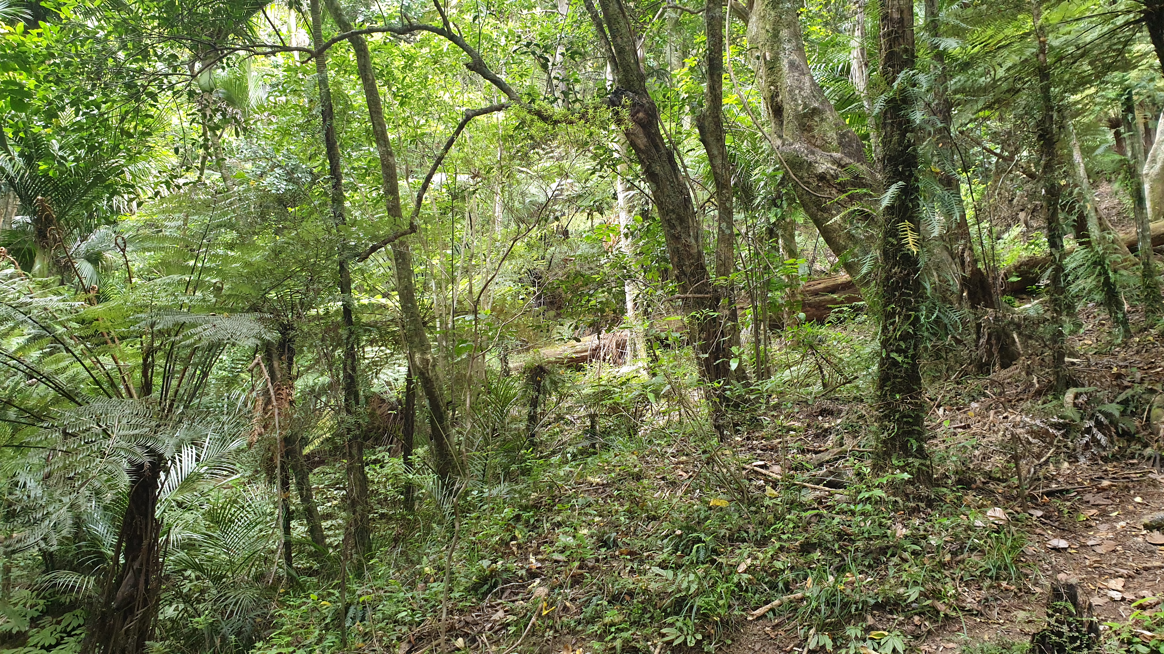
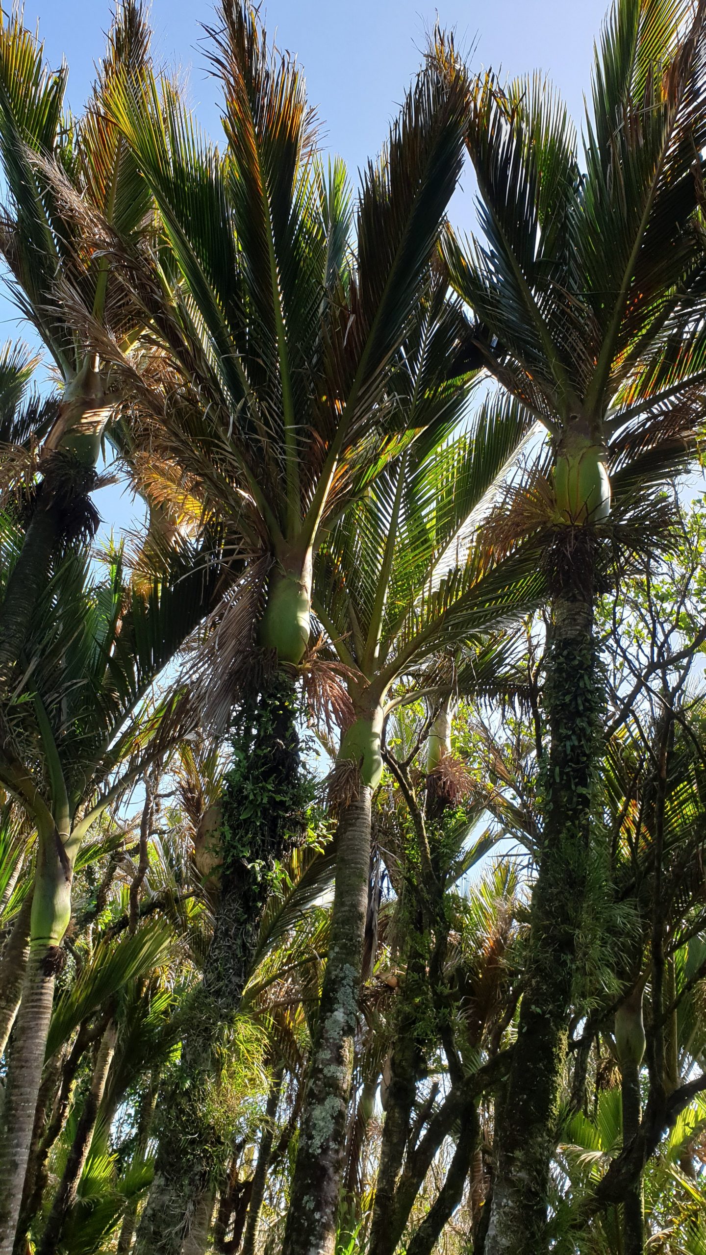 Nikau Palms
Category: New Zealand
Akaroa- Banks Peninsula
After returning to Queenstown, by hitching with 3 local girls who just came to the hut for an overnight hike, I managed to get a hostel room for the night. It was very busy there, so 3rd try lucky!
I decided to do another rental car relocation to Christchurch. I took it over 3 days.
My first afternoon was a drive through to Timaru. I wanted to stop on the way at an gold mining site from the 1860s but the weather was pretty poor and entry fee expensive.
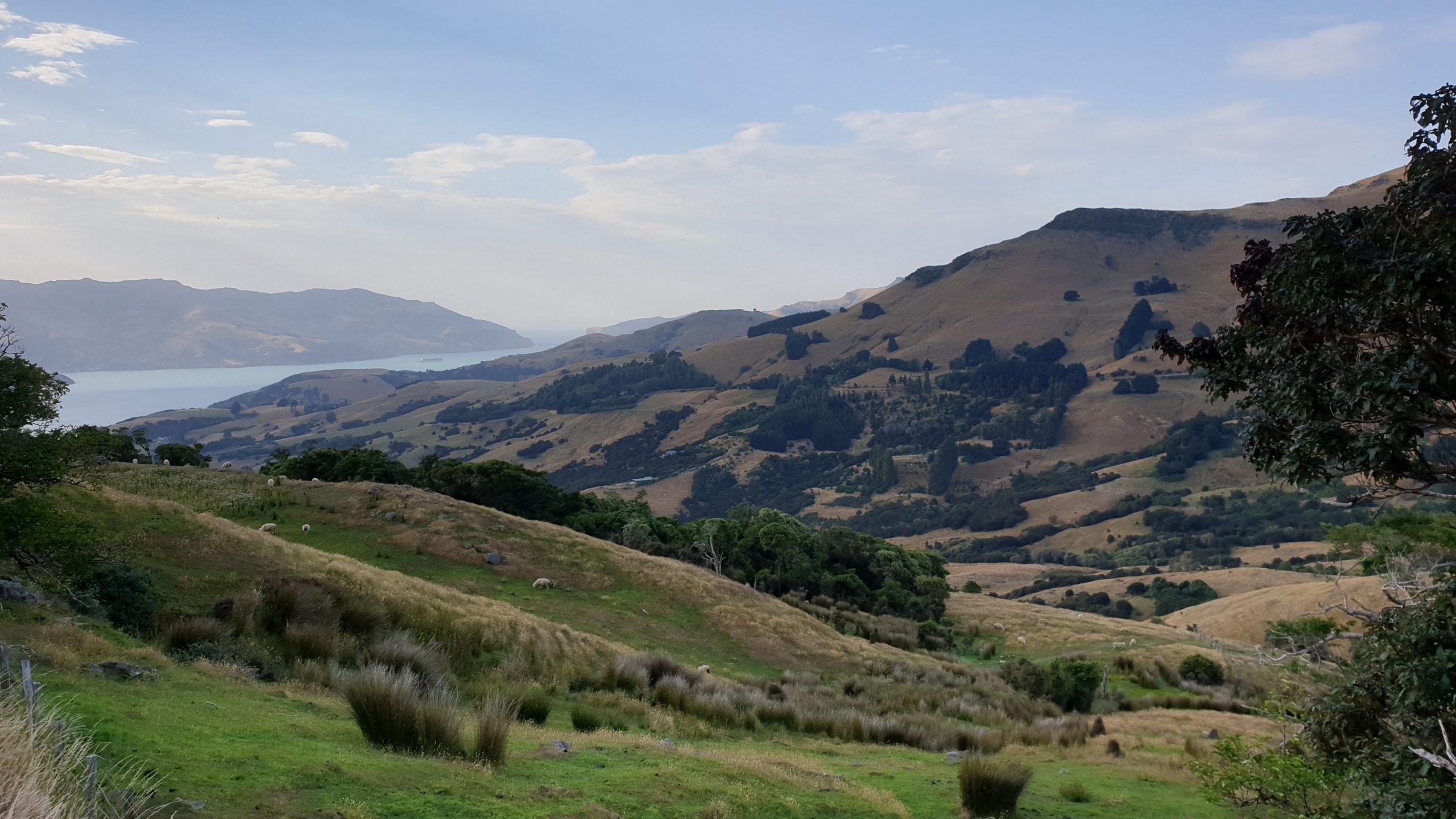
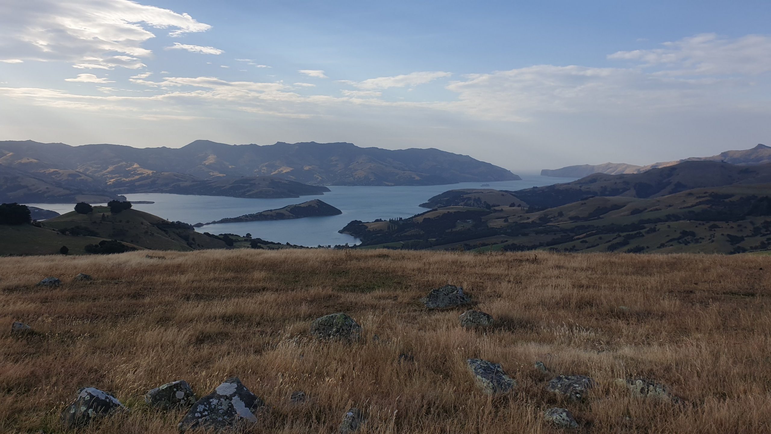
From here I headed to the Banks Peninsula, east of Christchurch. I drove to Akaroa township through the windy, uphill road. The settlement is French and has lots of tourists. The view is normally pretty good but it was hazy…still due to the Australian bushfires!
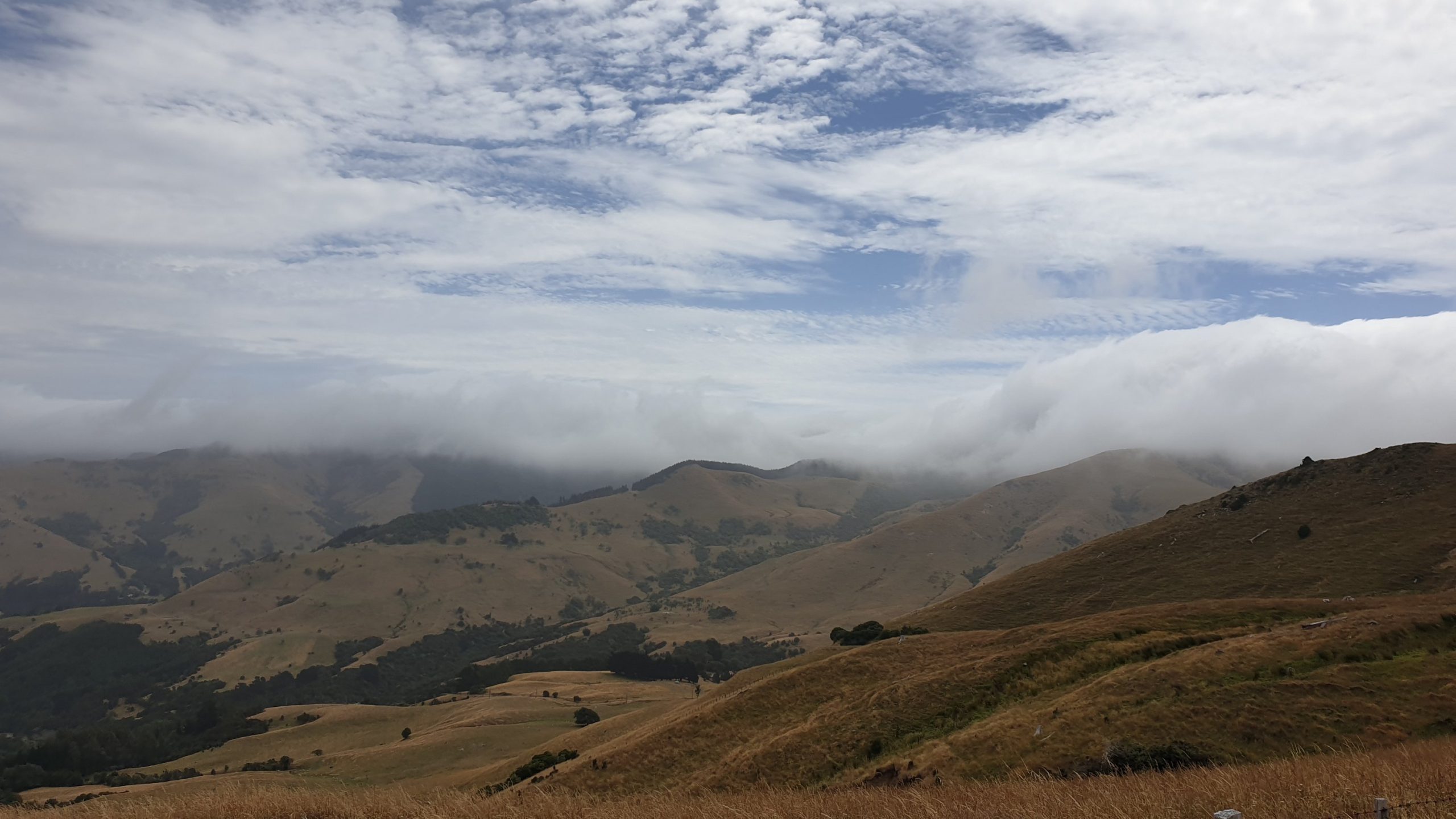
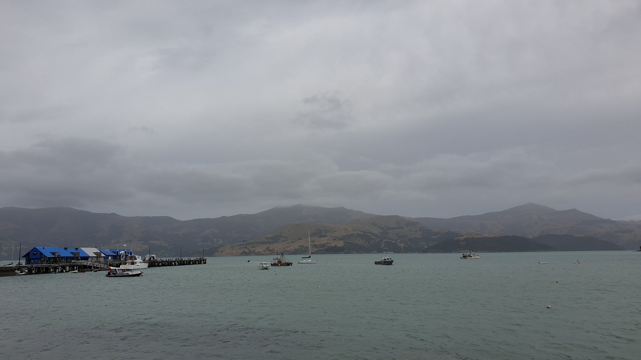
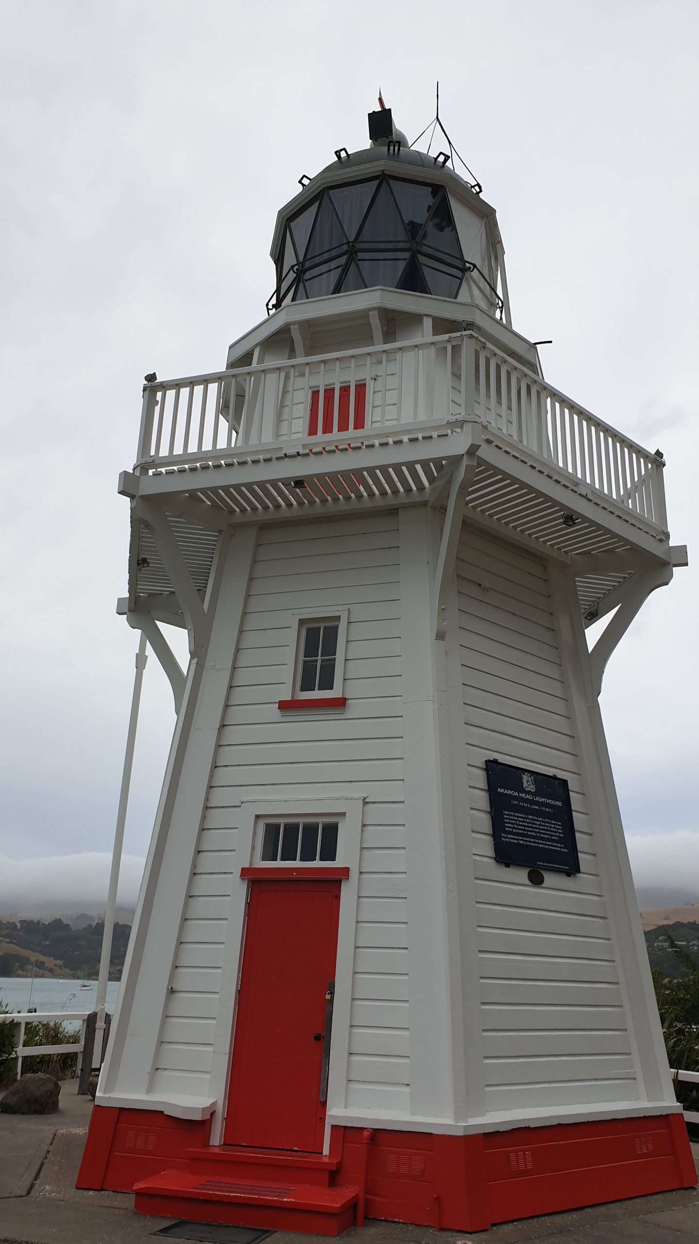
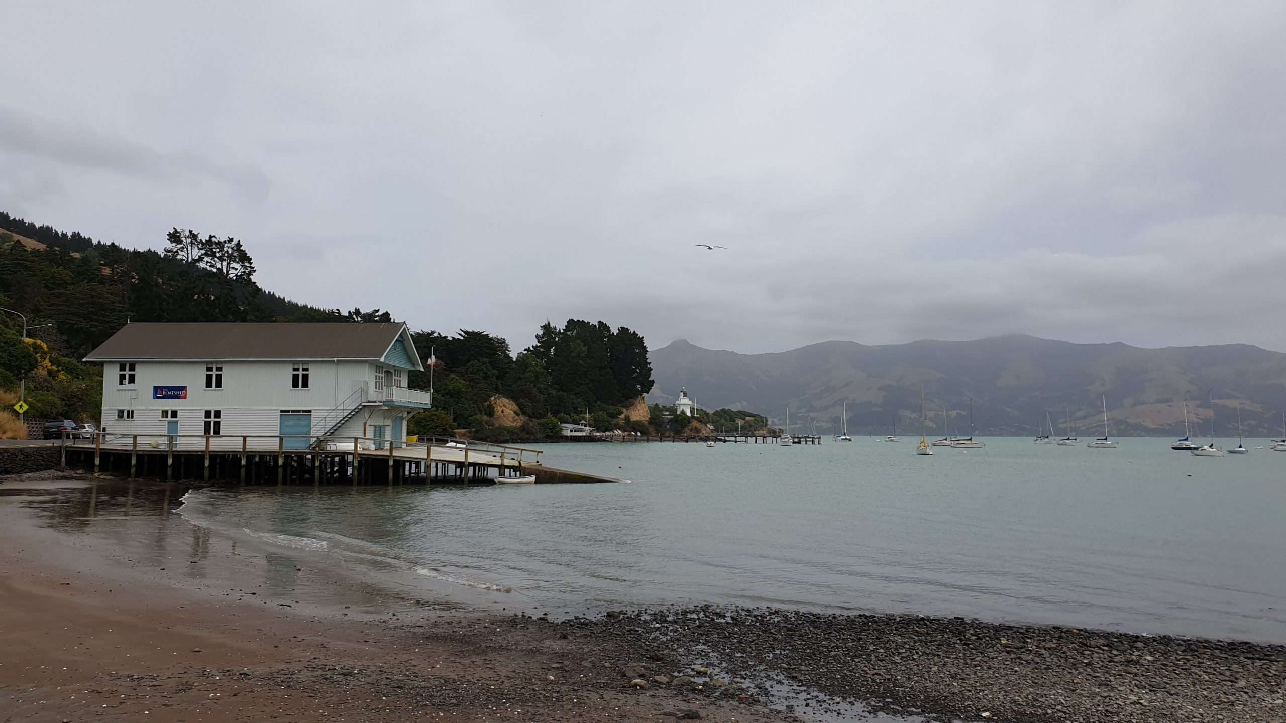
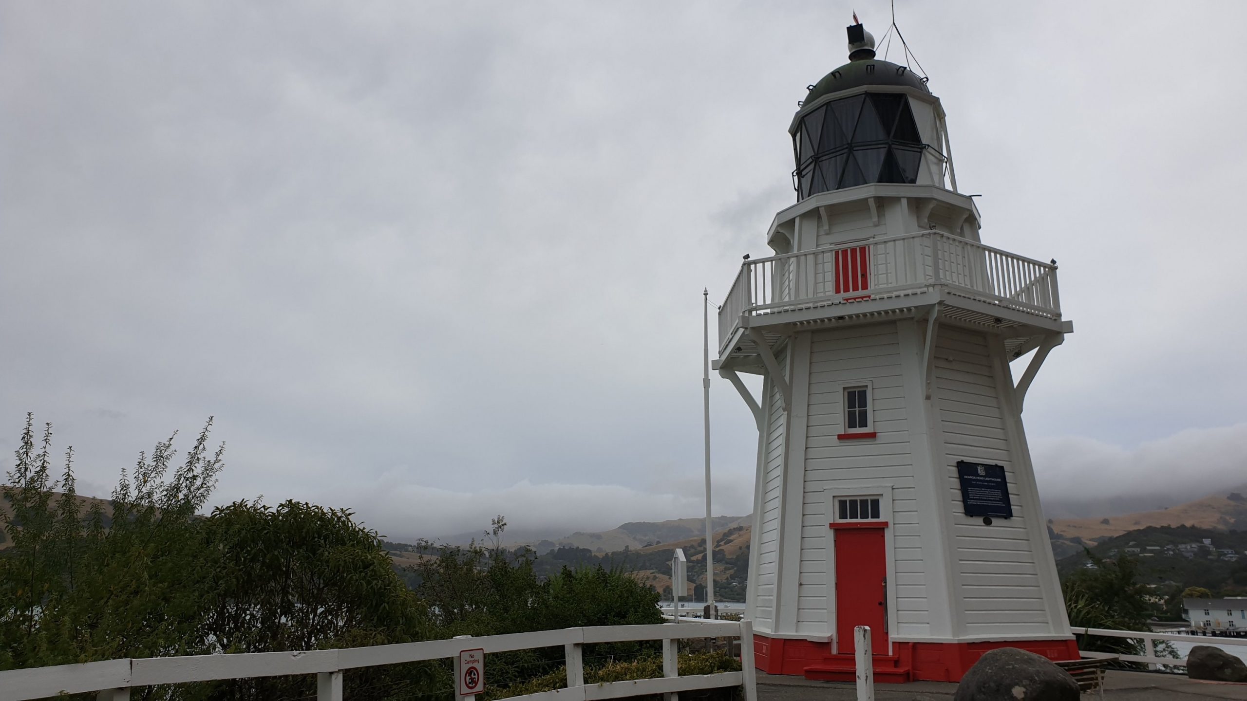
I spent two nights in Okuti Valley in a converted truck. It was located in a huge farm garden, really different!
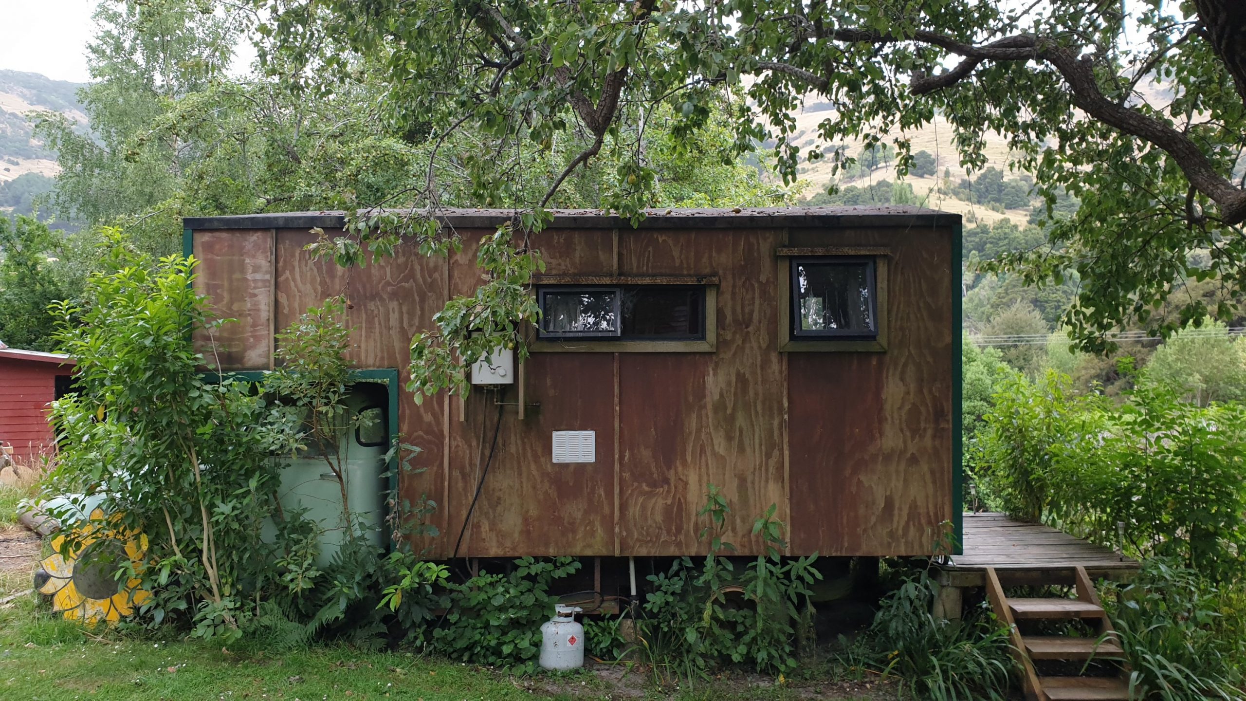
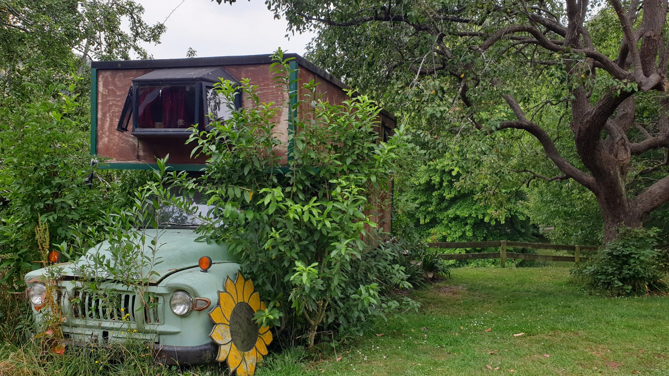
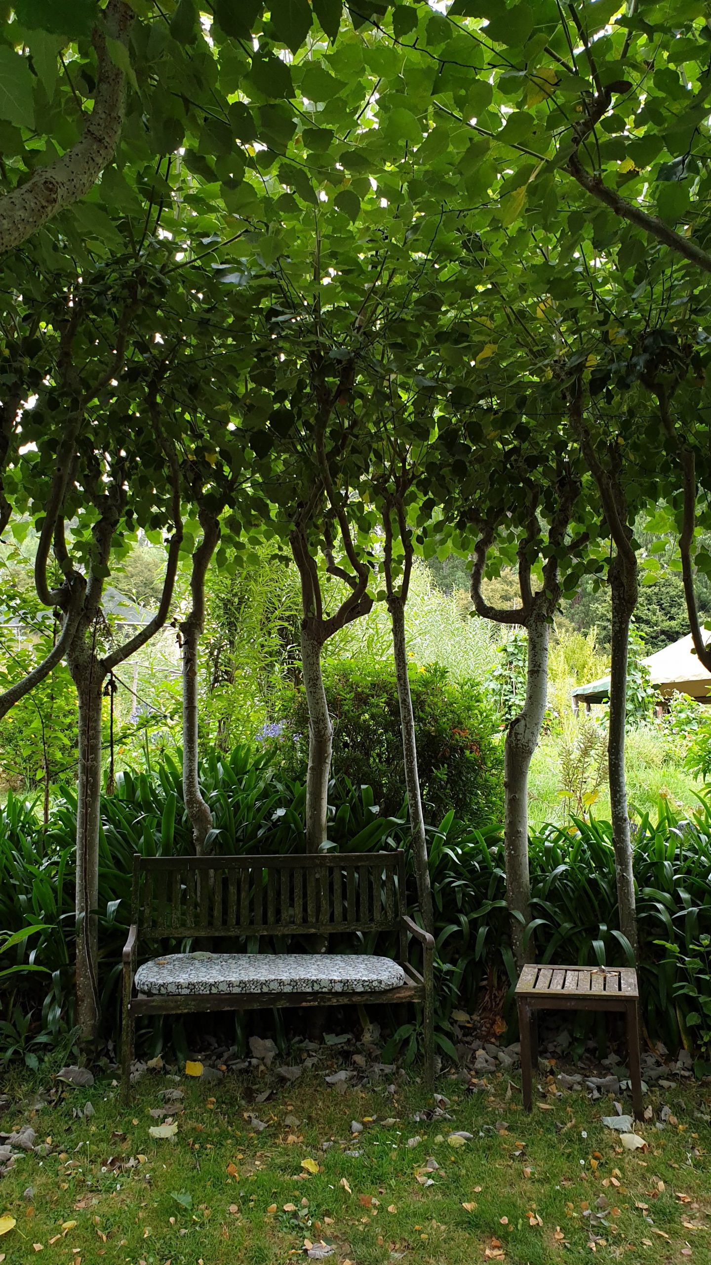
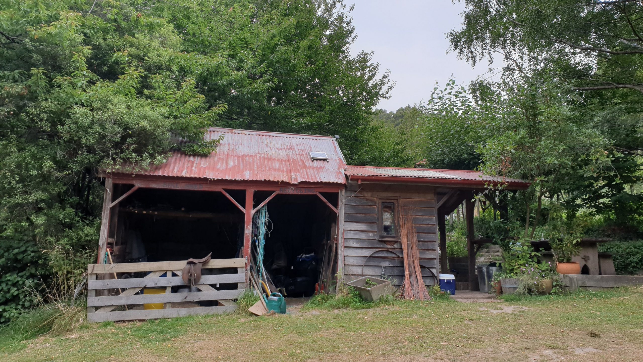
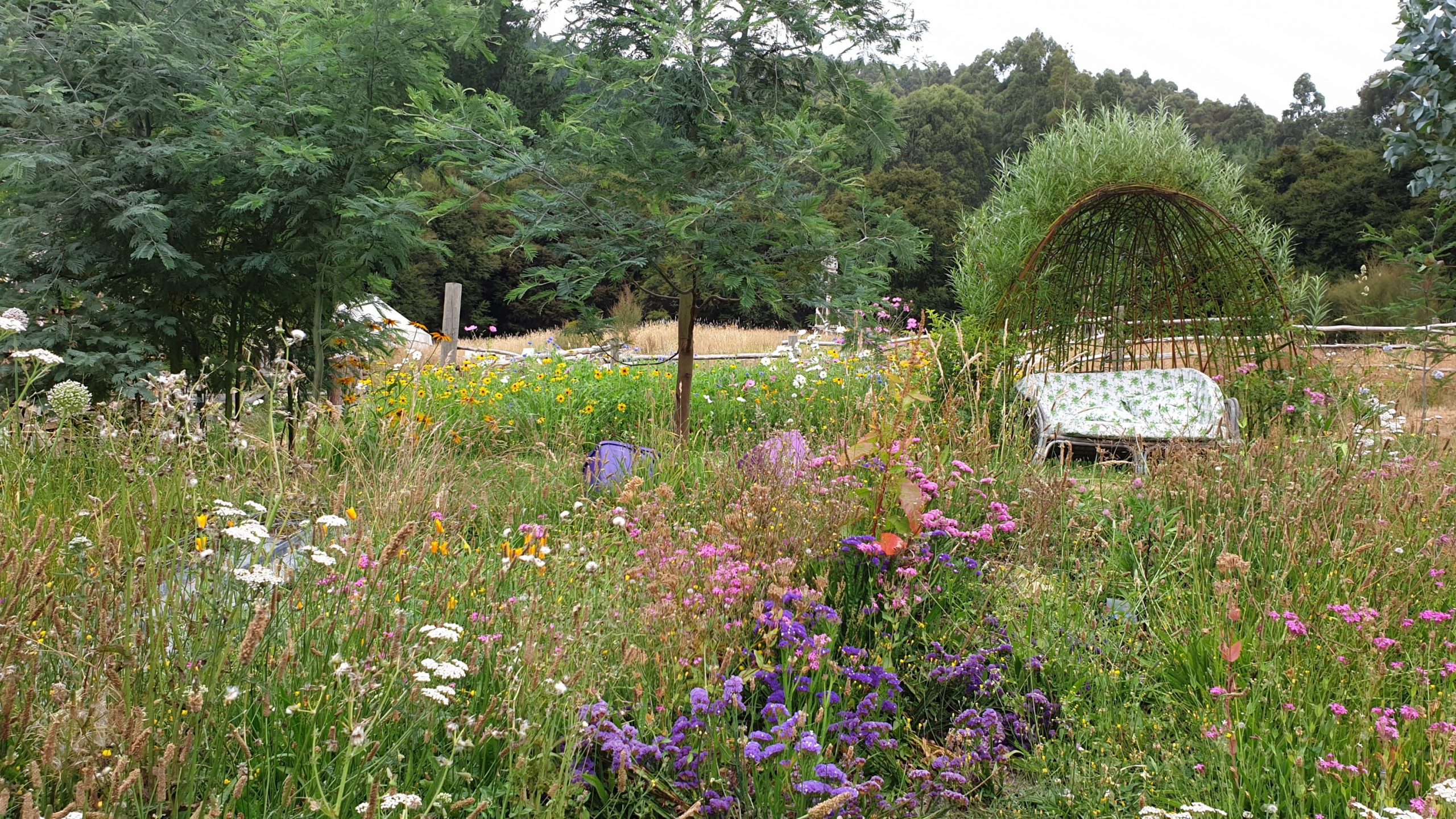
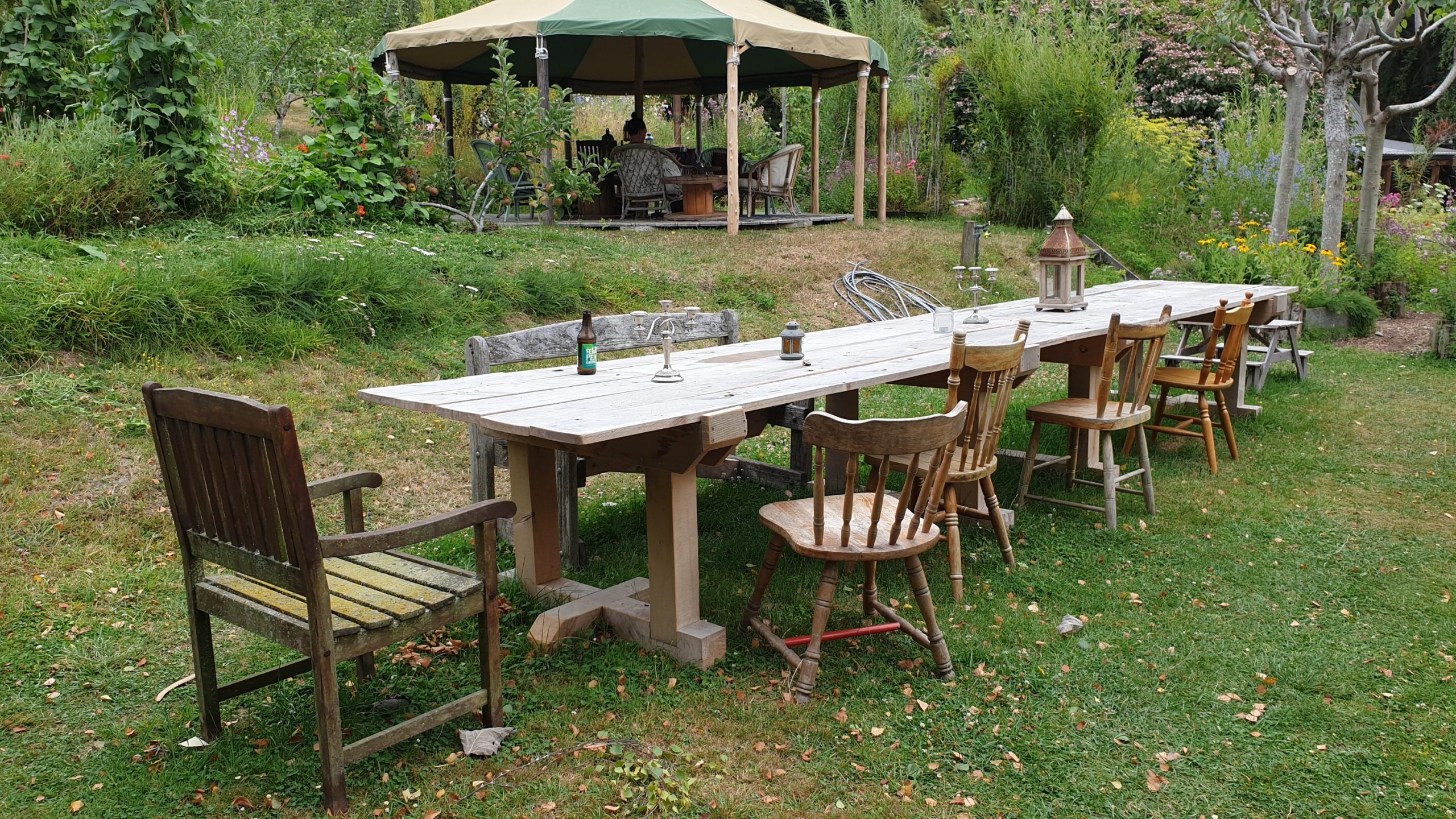
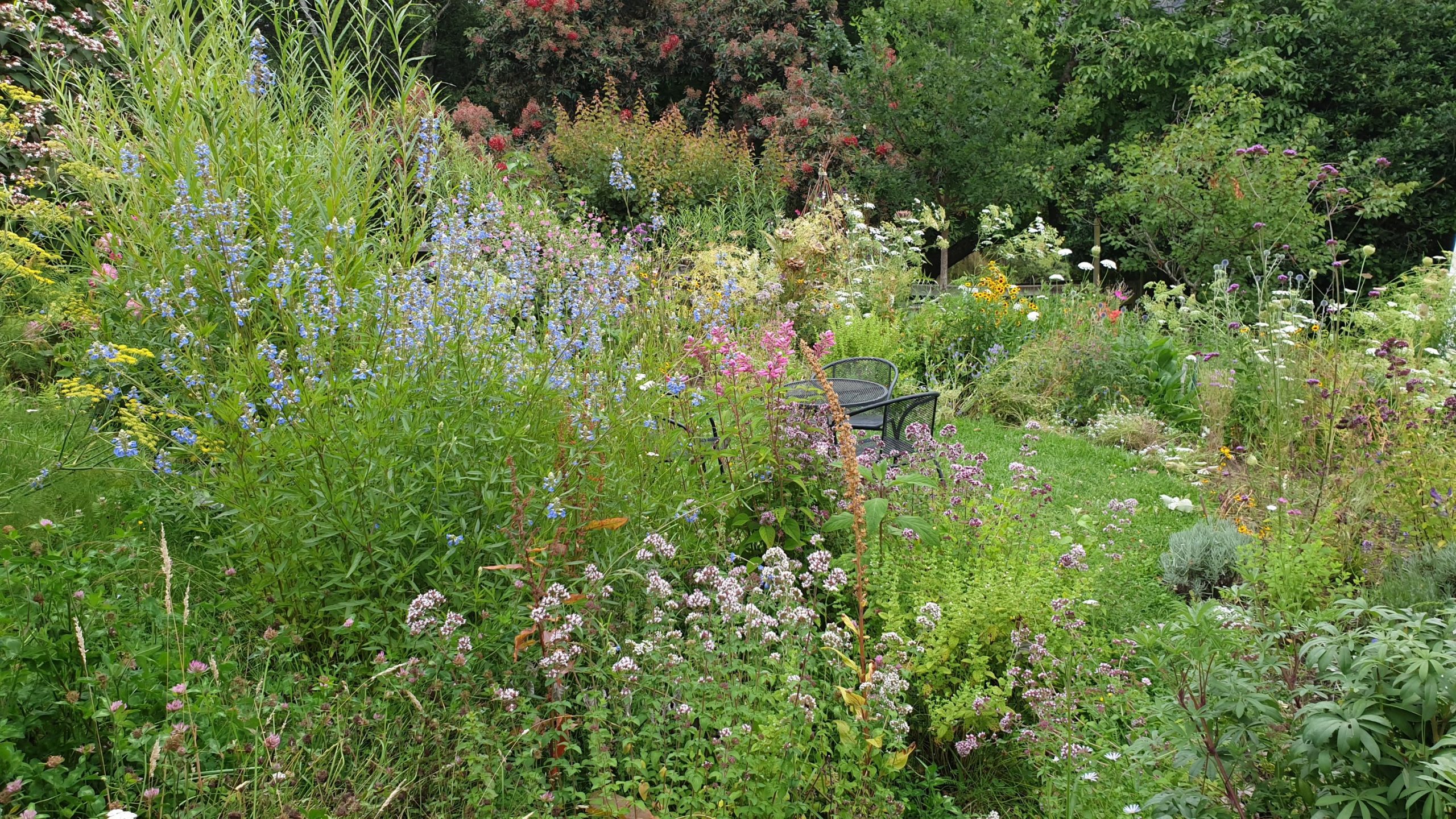
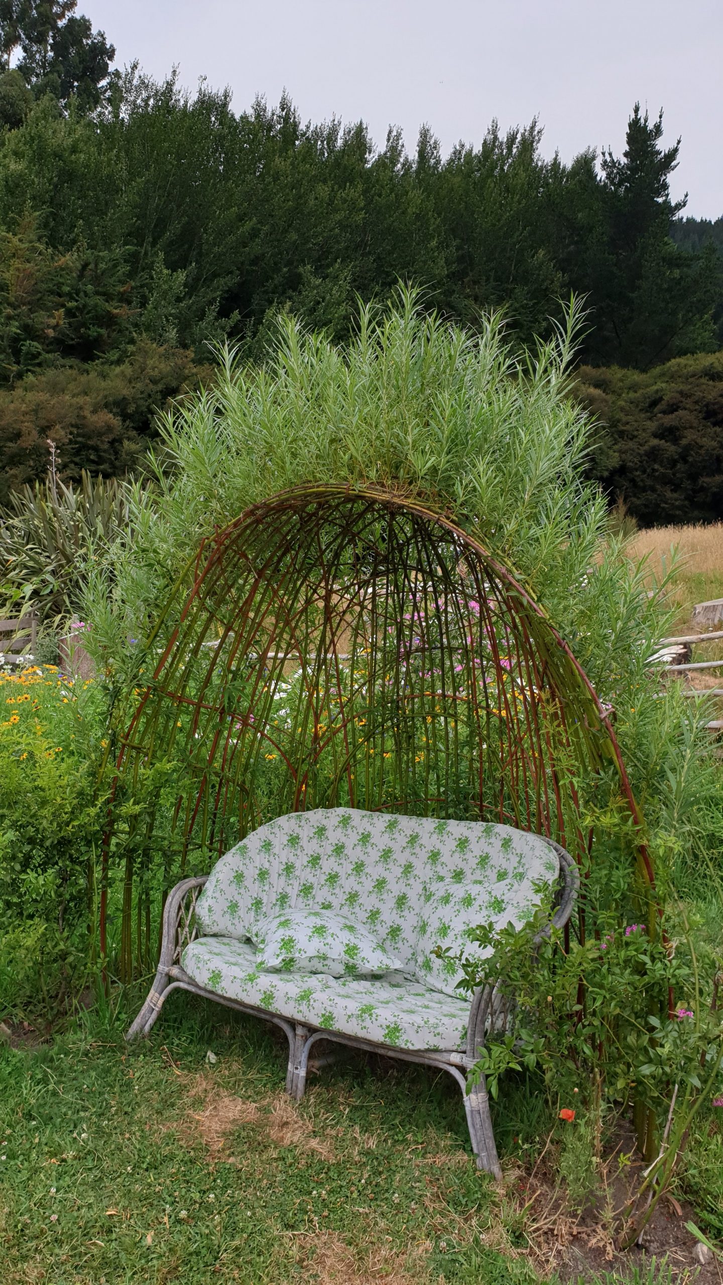
I got up early on Saturday to do a road trip around the peninsula, to Little Akaloa then Okains Bay. The roads that I travelled on were super narrow, so I was glad that I didn’t meet any oncoming cars- just cows 🙂
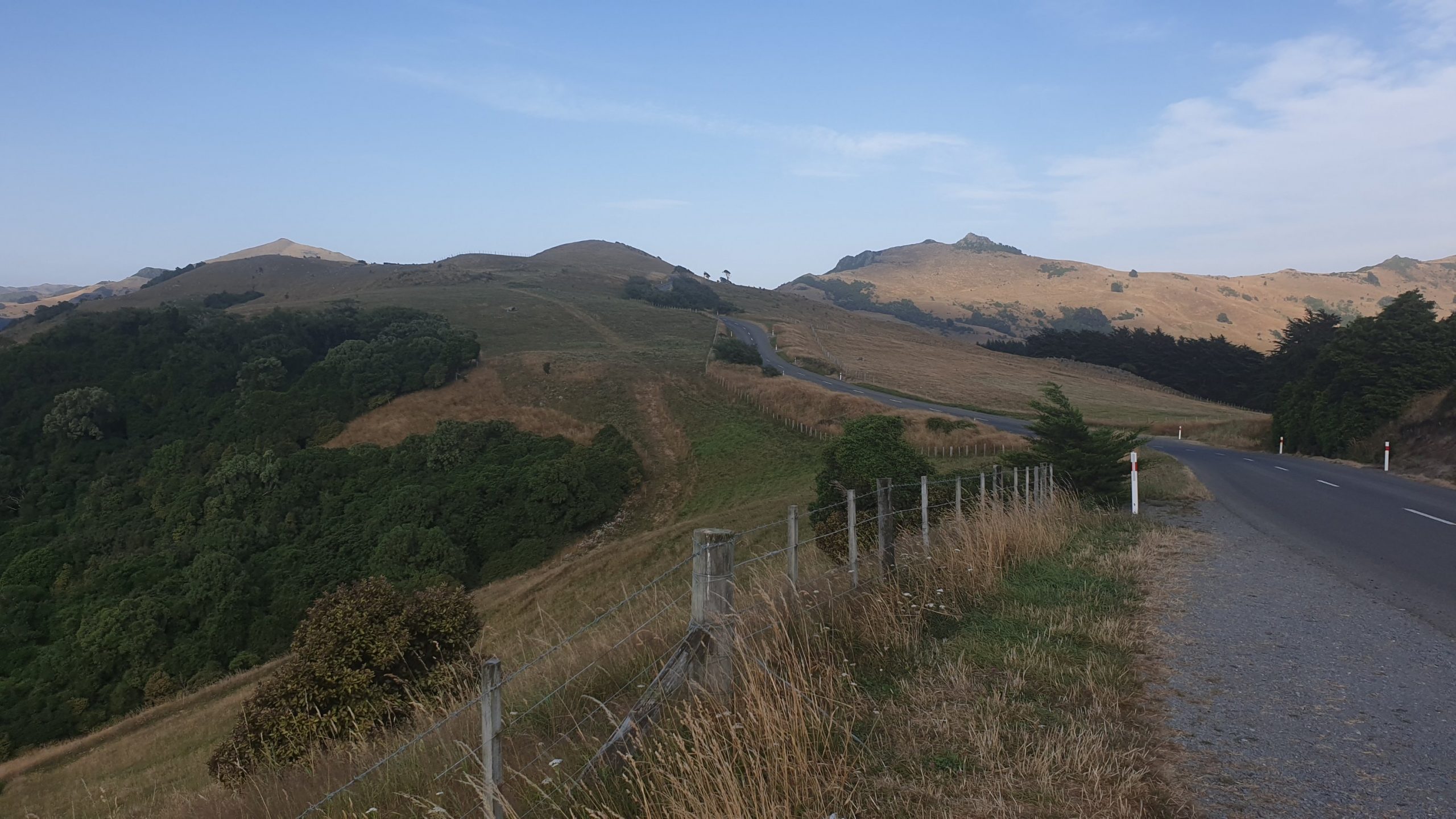
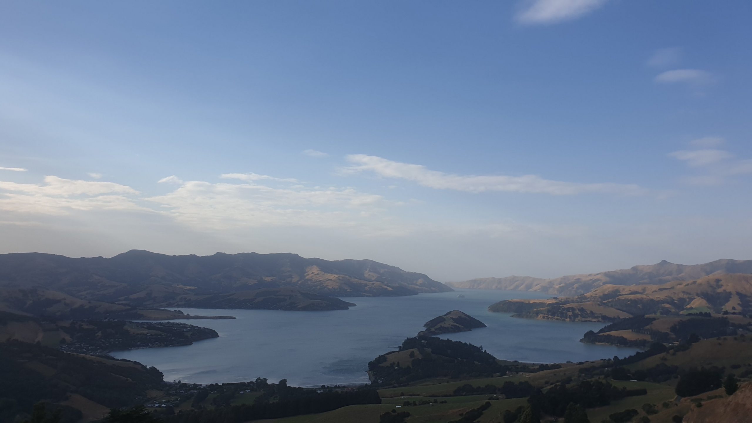
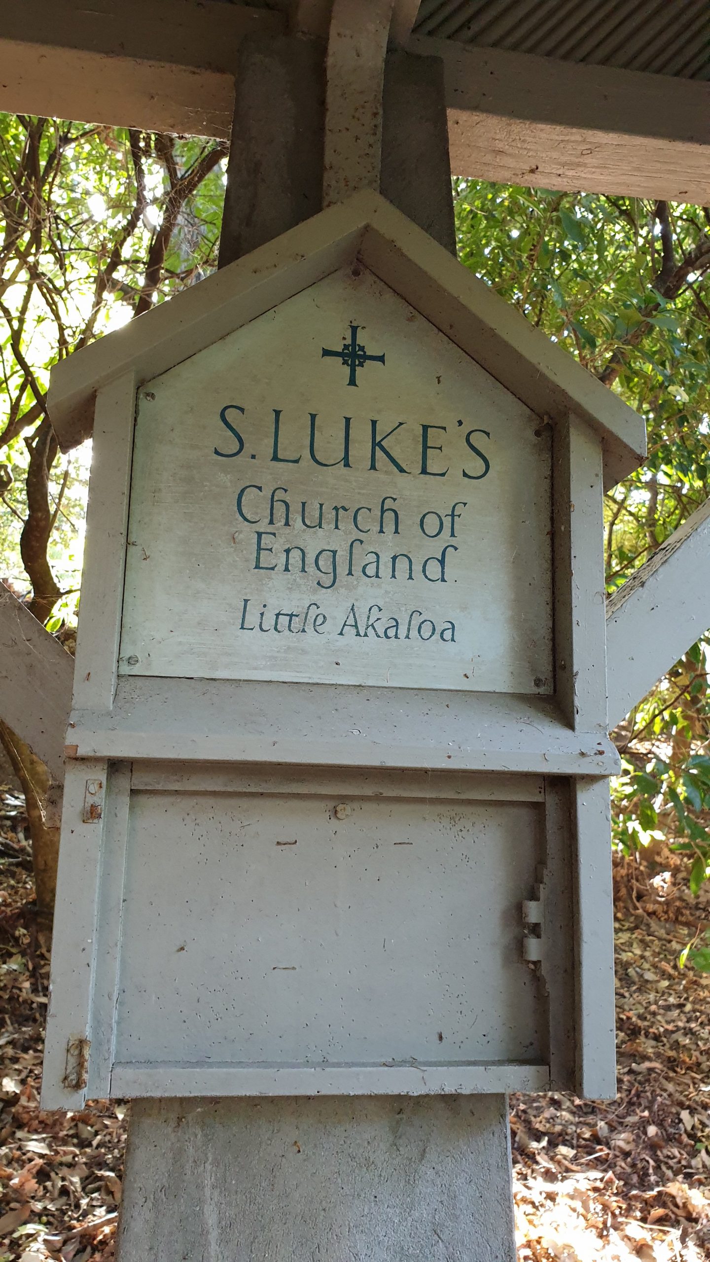
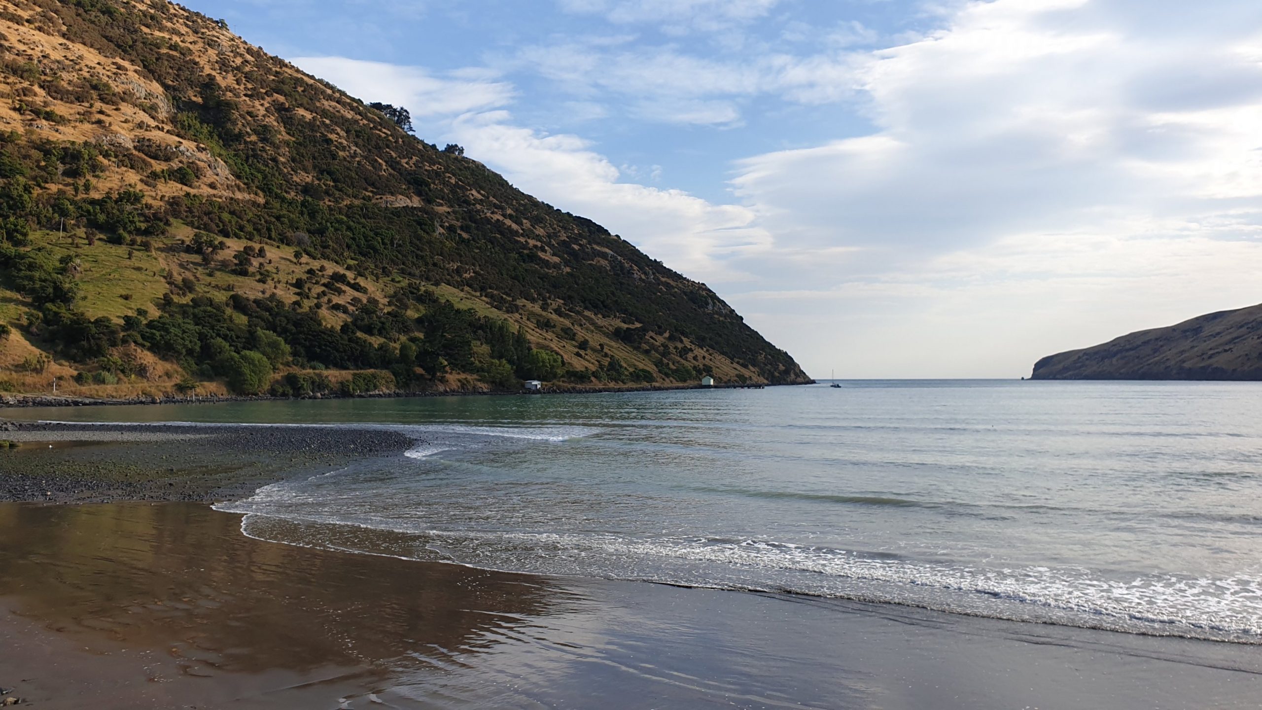
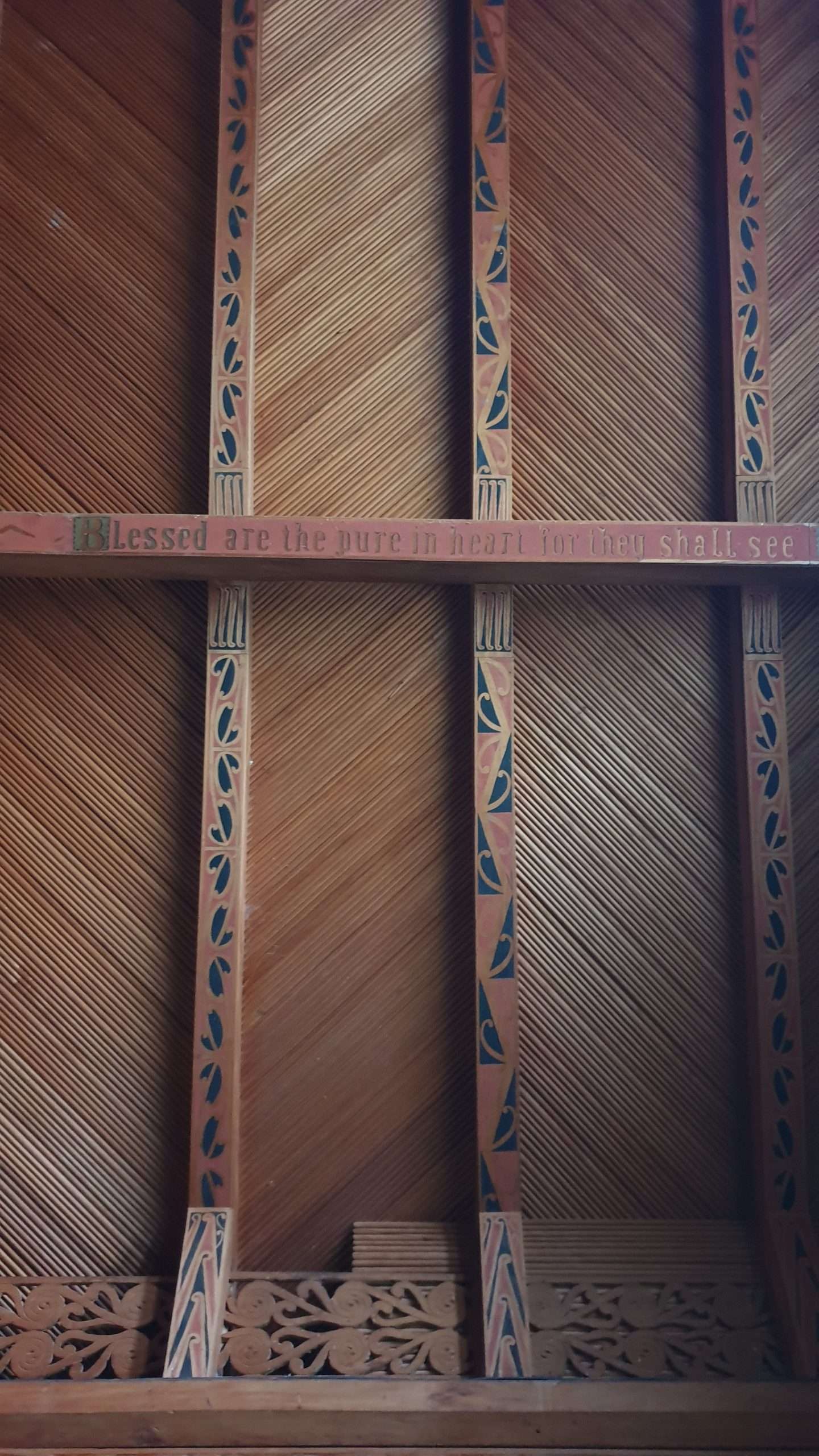
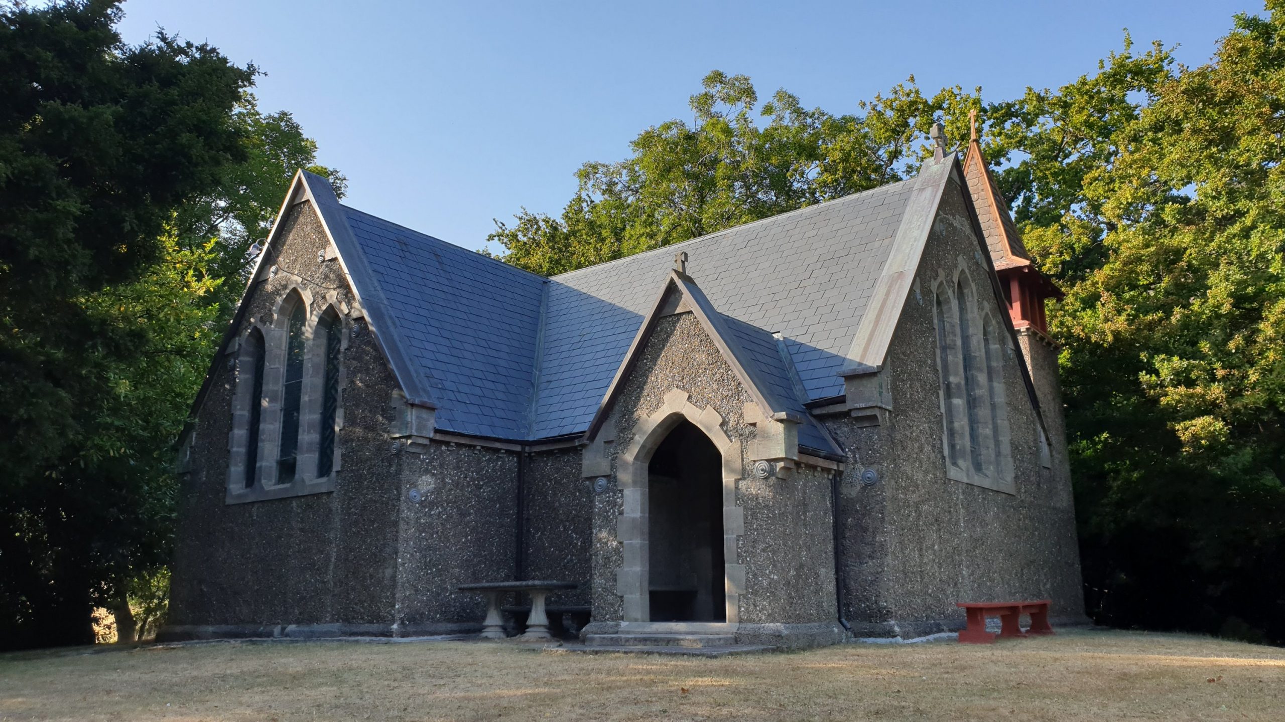
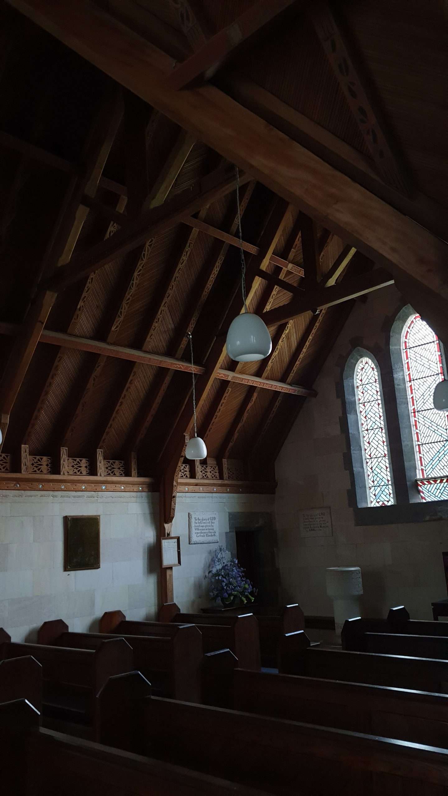
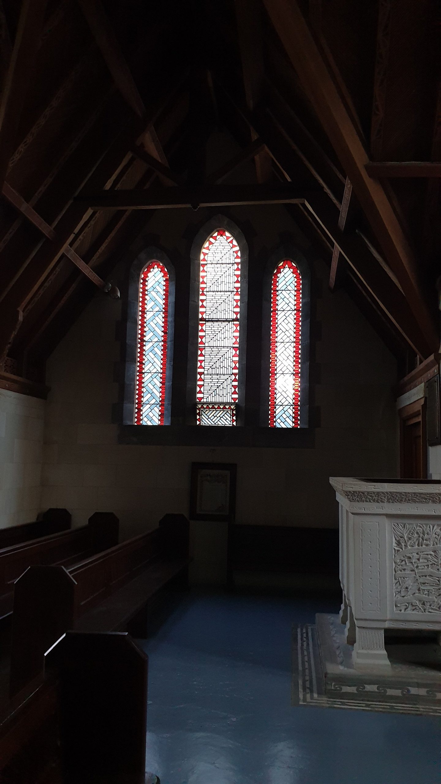
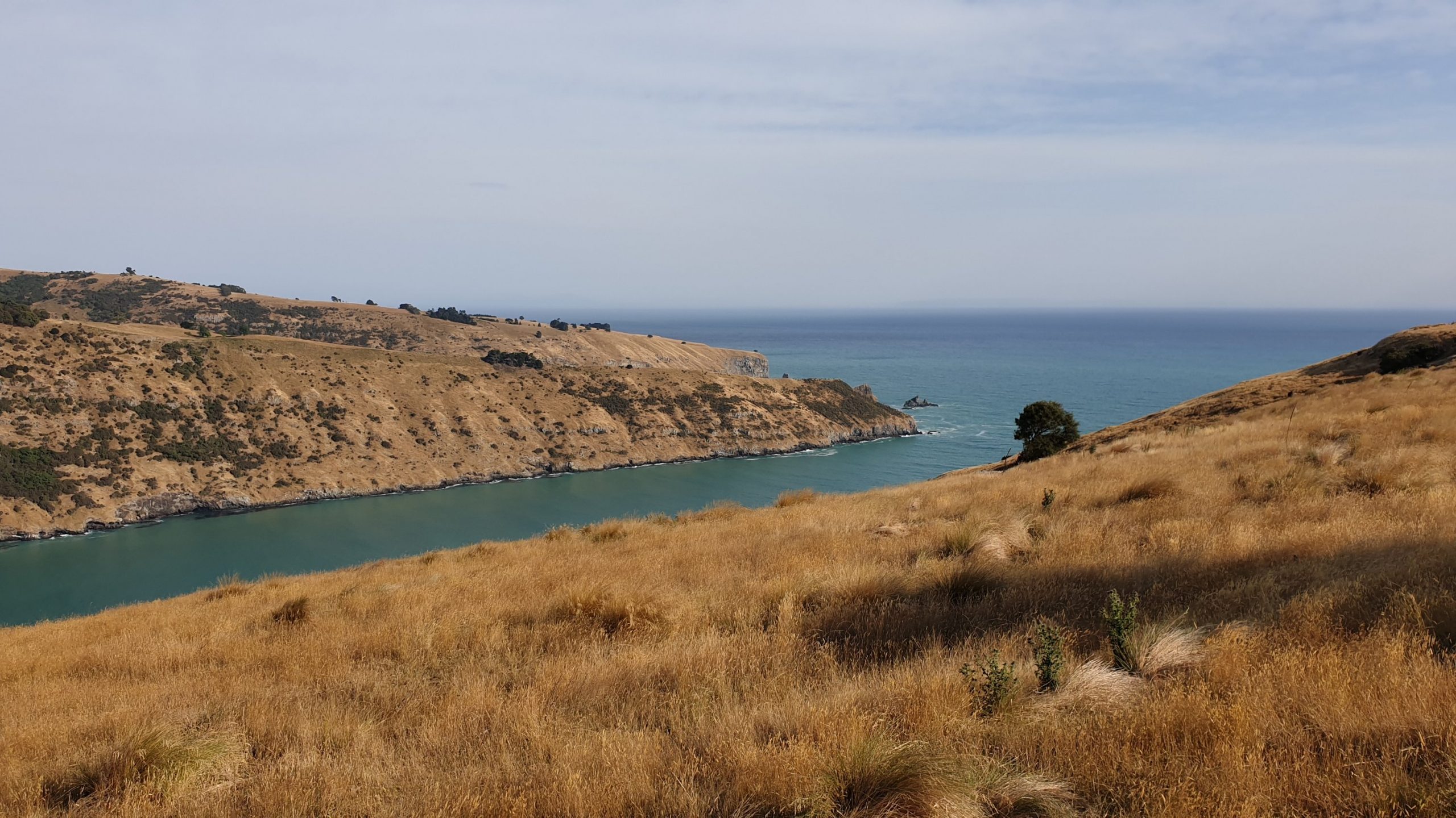
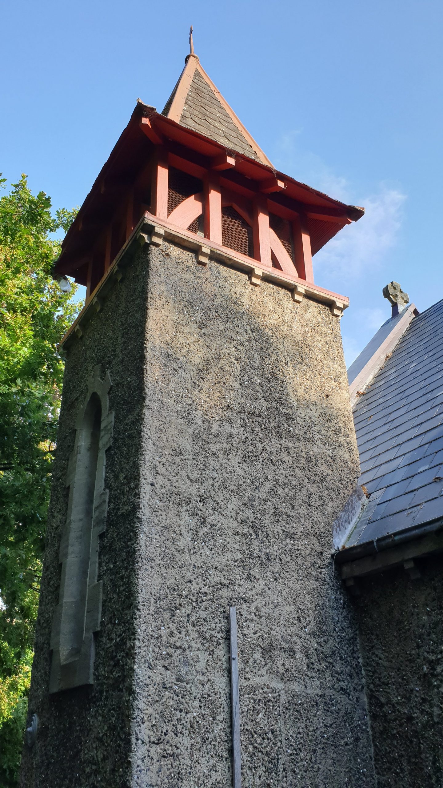
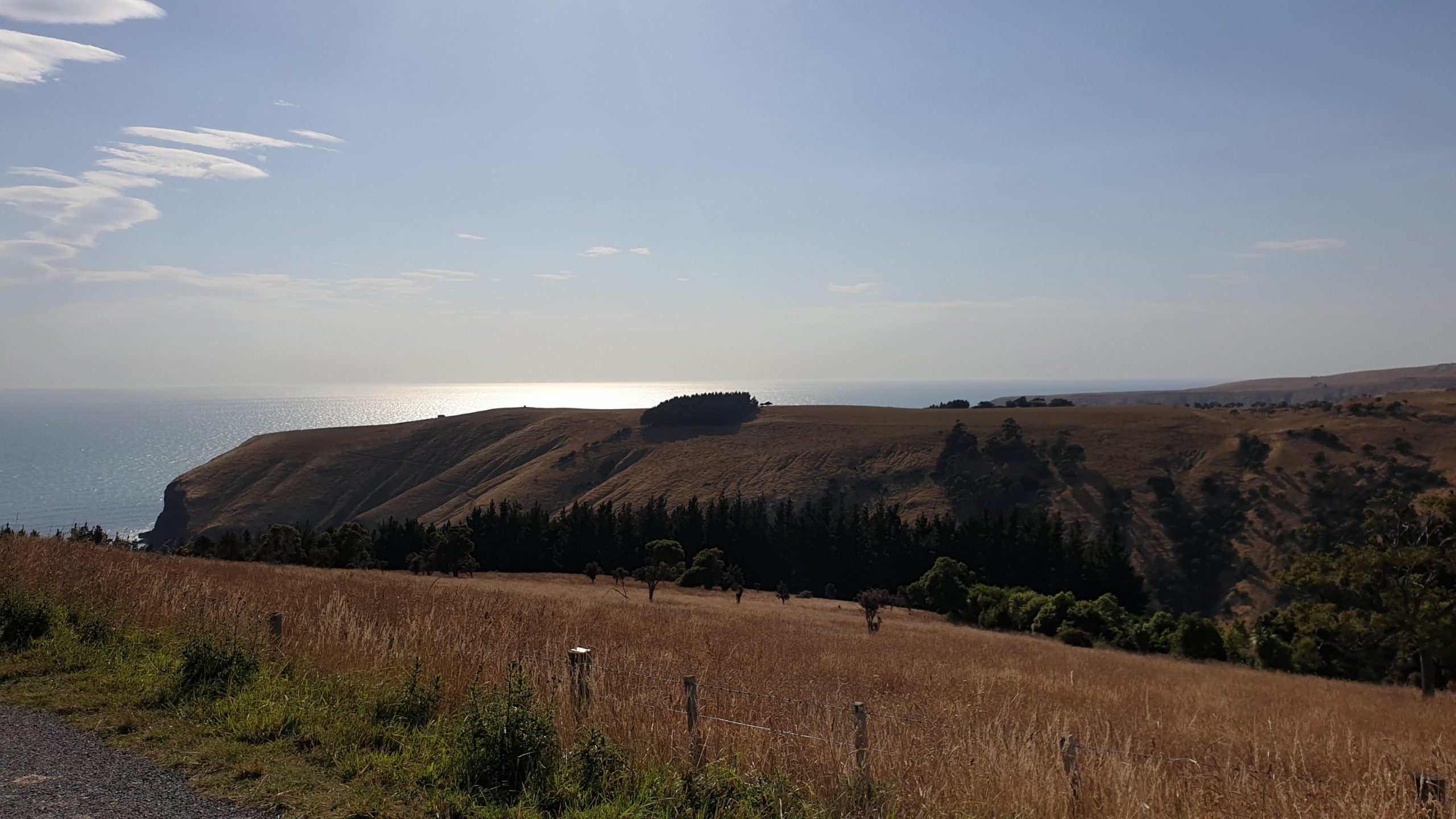
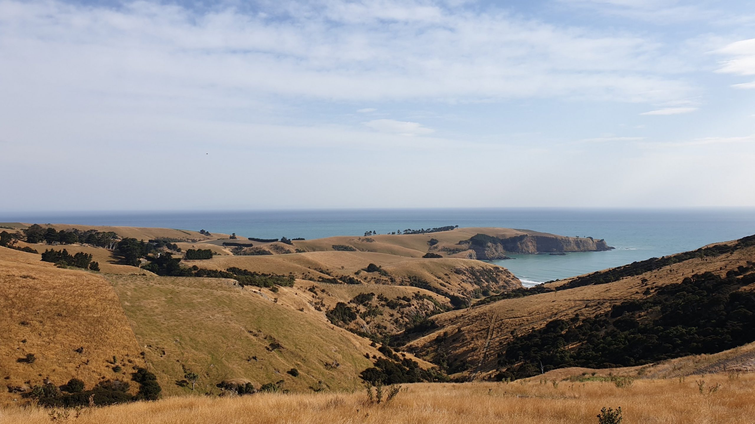
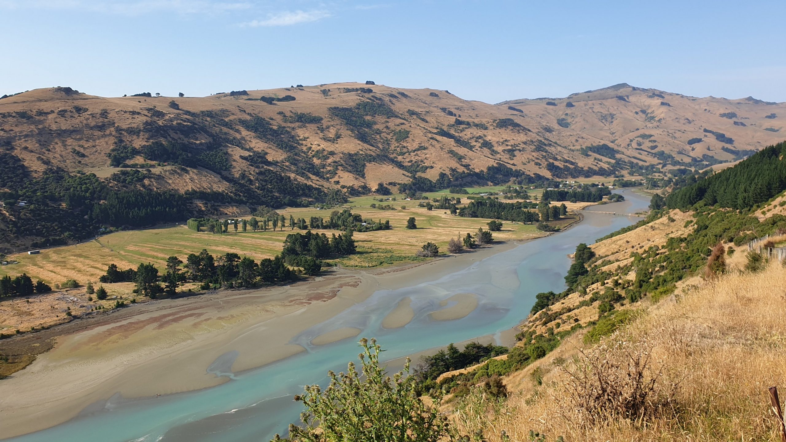
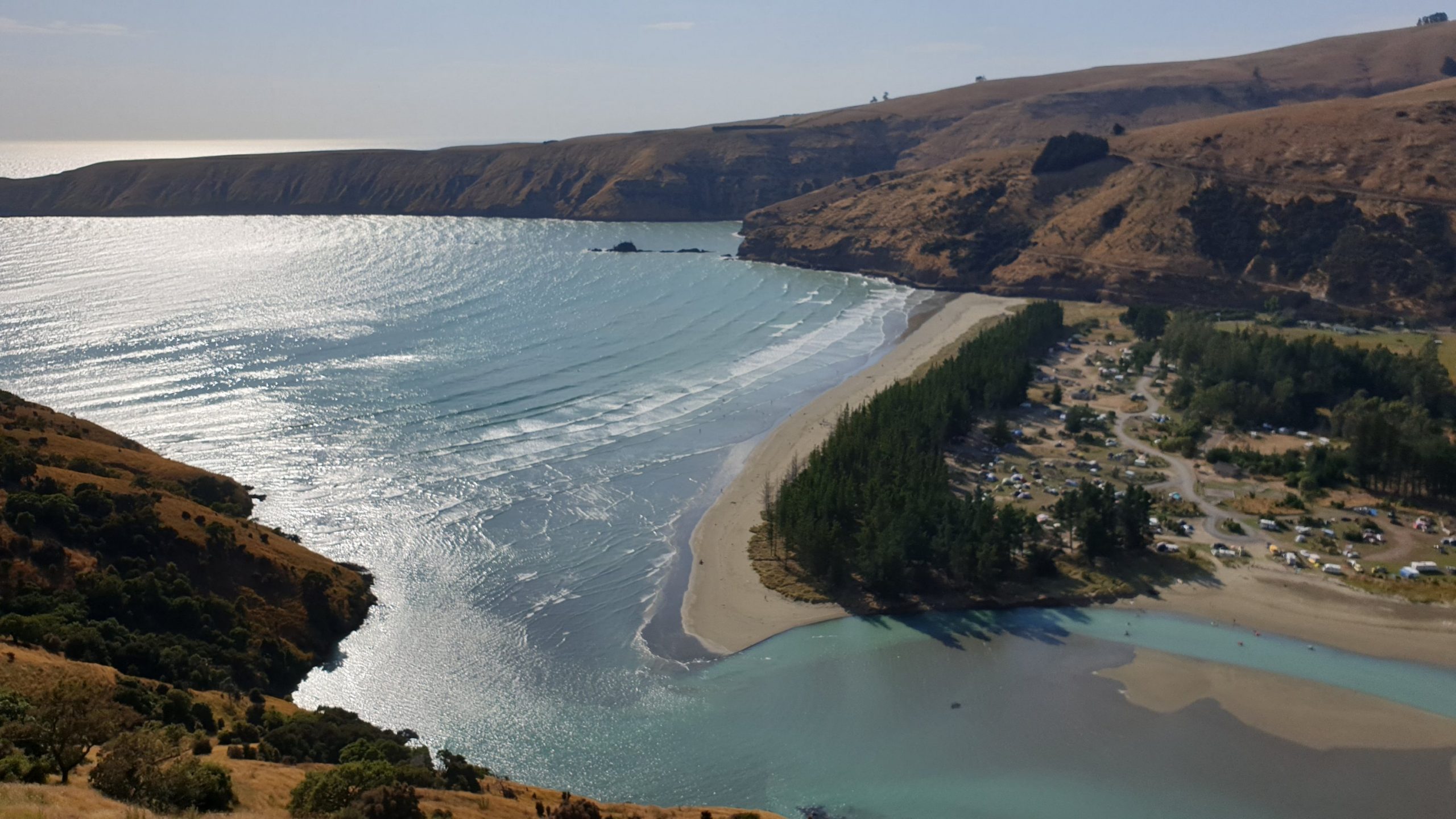
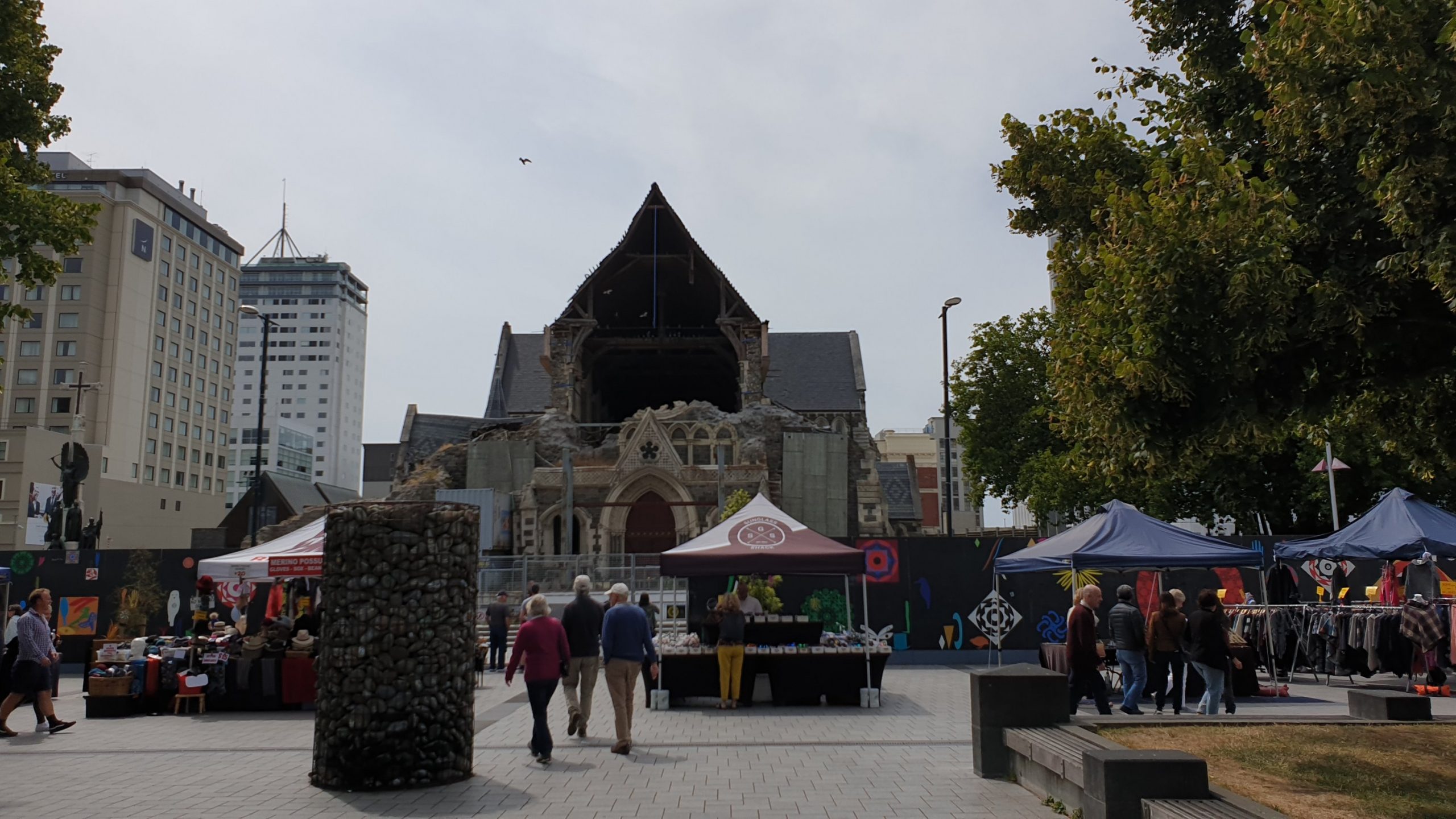
Before dropping the car off on Monday I went via Lyttelton to see how it was recovering after the earthquake. It is slowly getting there, the port is larger but the little town still has many damaged buildings.
I then made my way to Lydia and Andre’s place to figure out my next step after deciding to quit the trail.
Greenstone Hut
Day 102,103
29 January 2020
Km 24
Cumulative Km 1,017
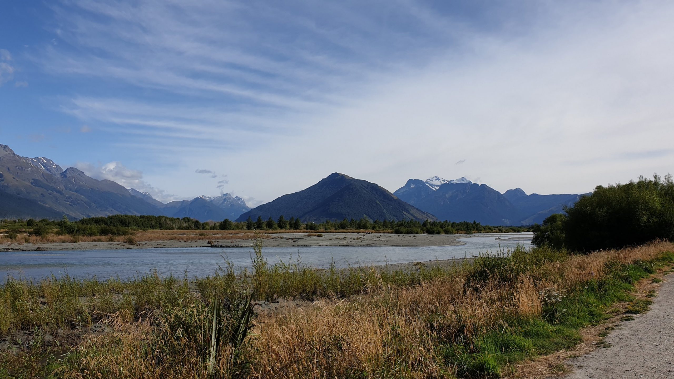
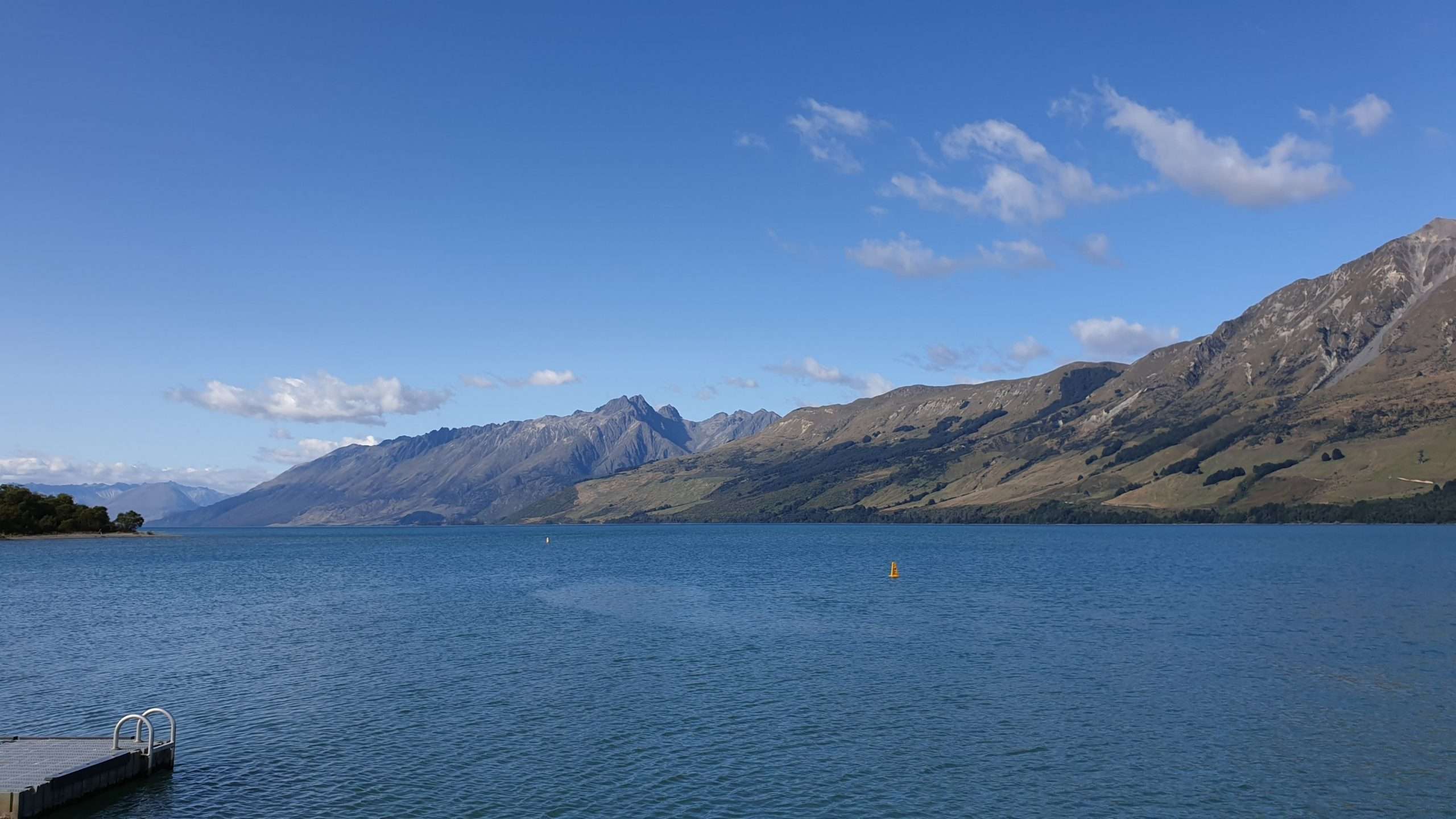
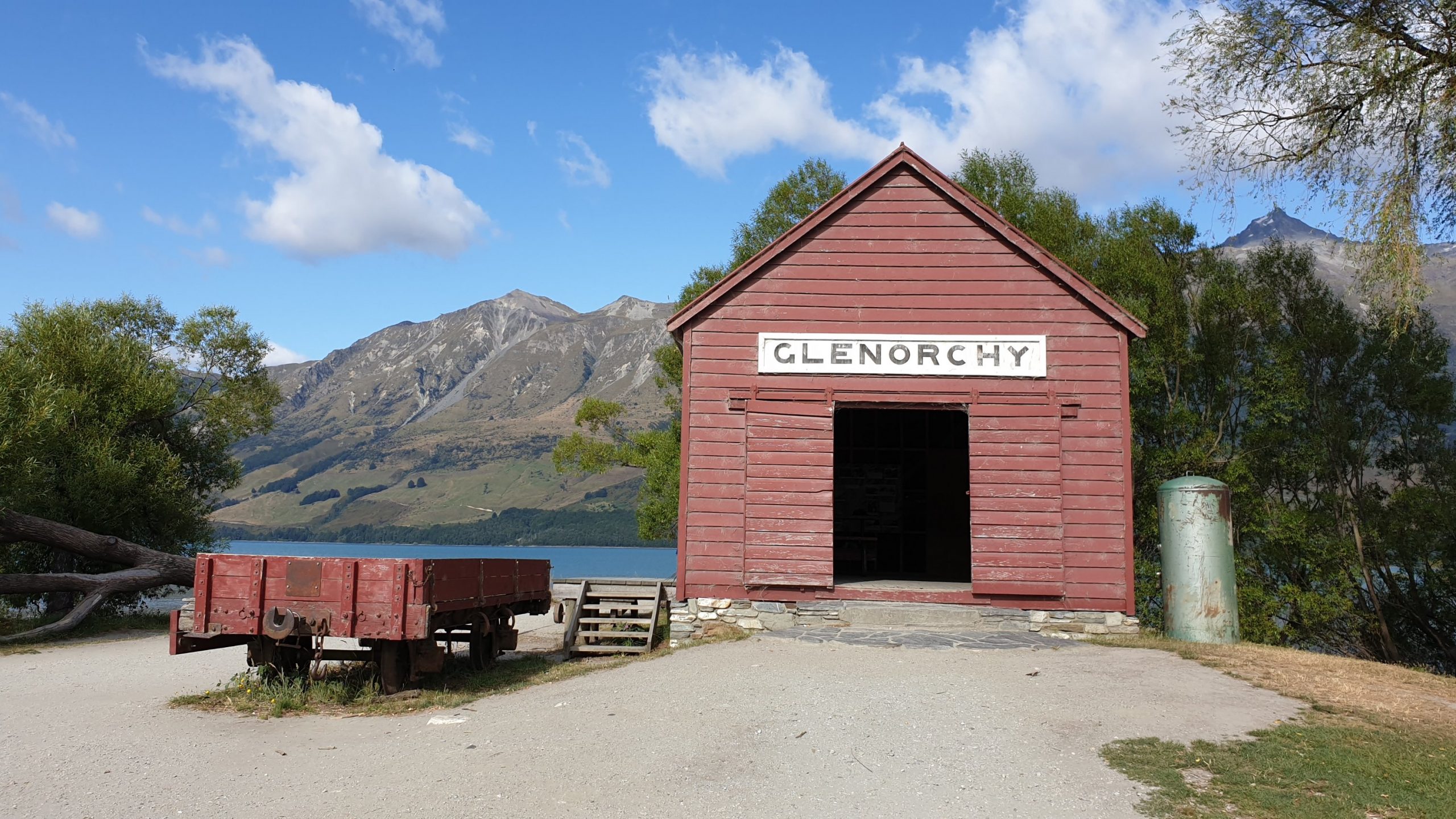
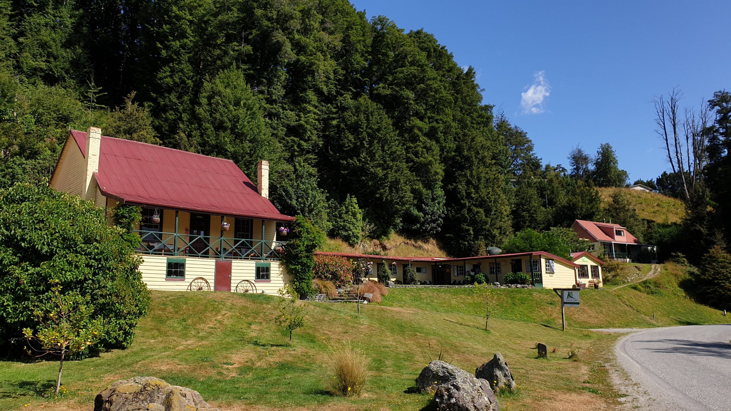
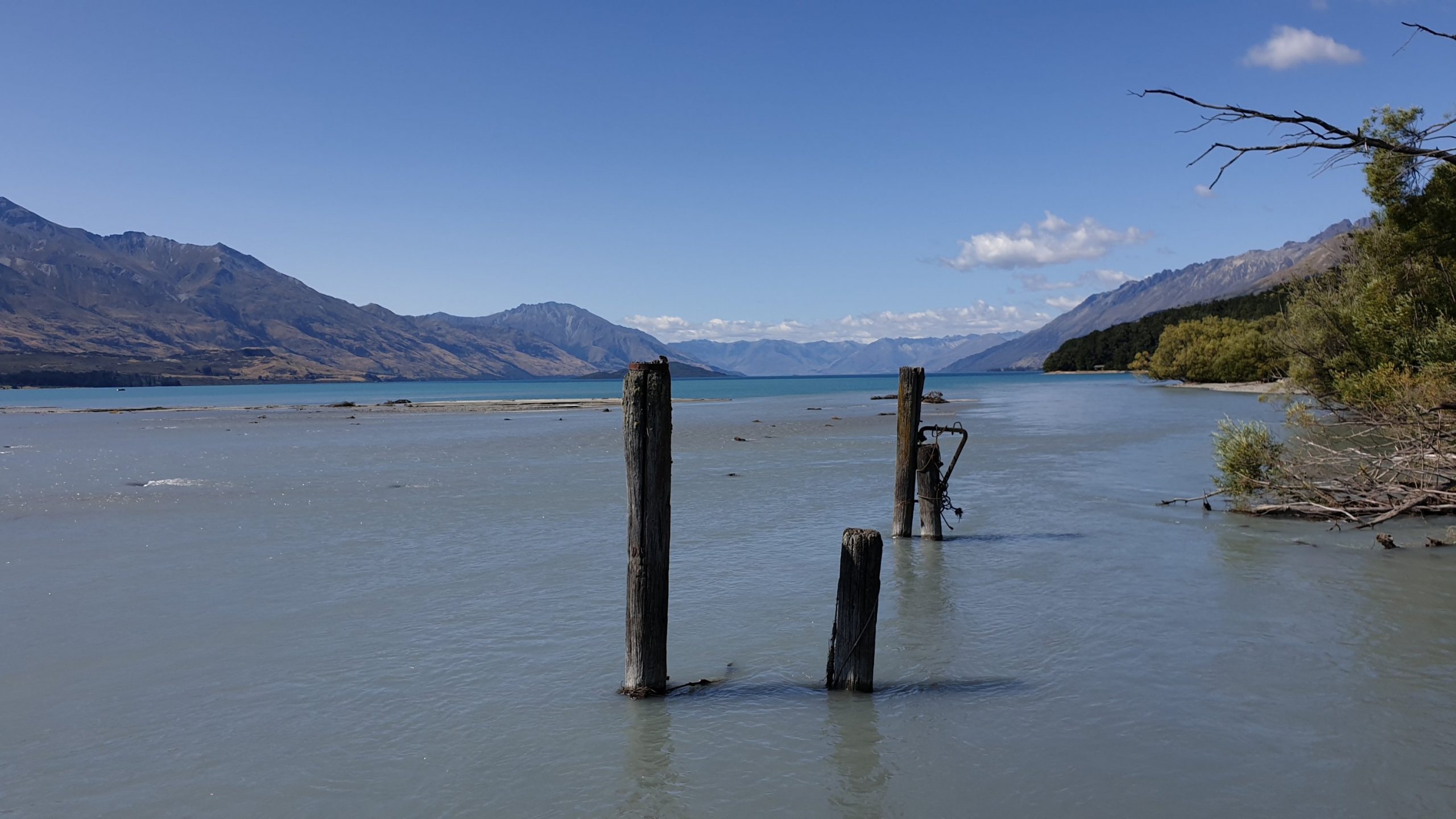
It was good to get back on the trail, knowing that it would be an easier track for the next few days. I relaxed at Kinloch Lodge YHA until I got shuttled to the start of the Greenstone track and commenced walking at midday.
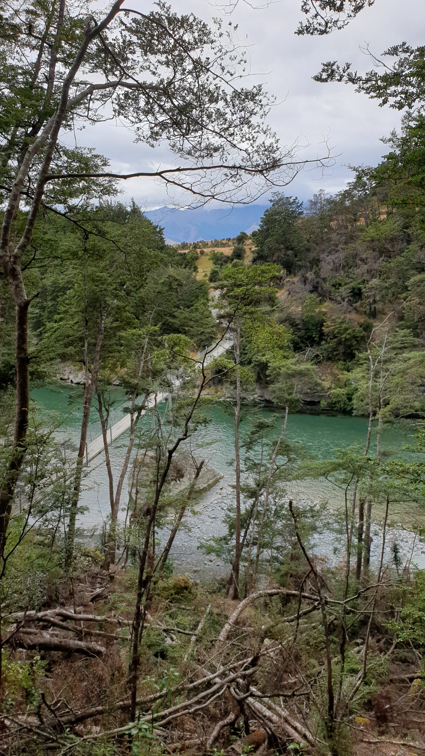
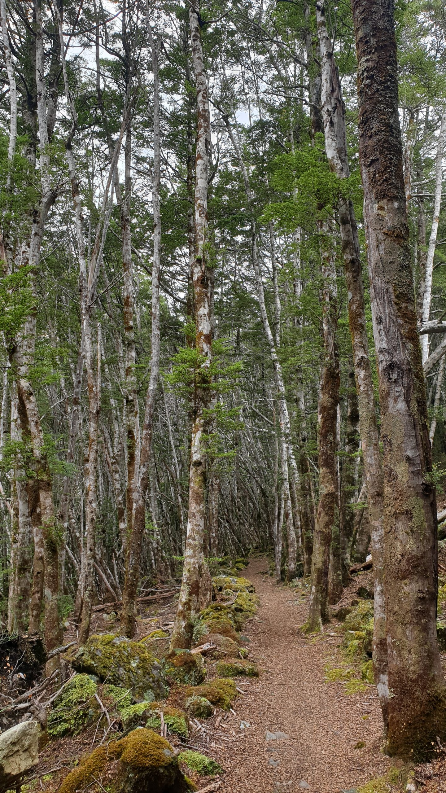
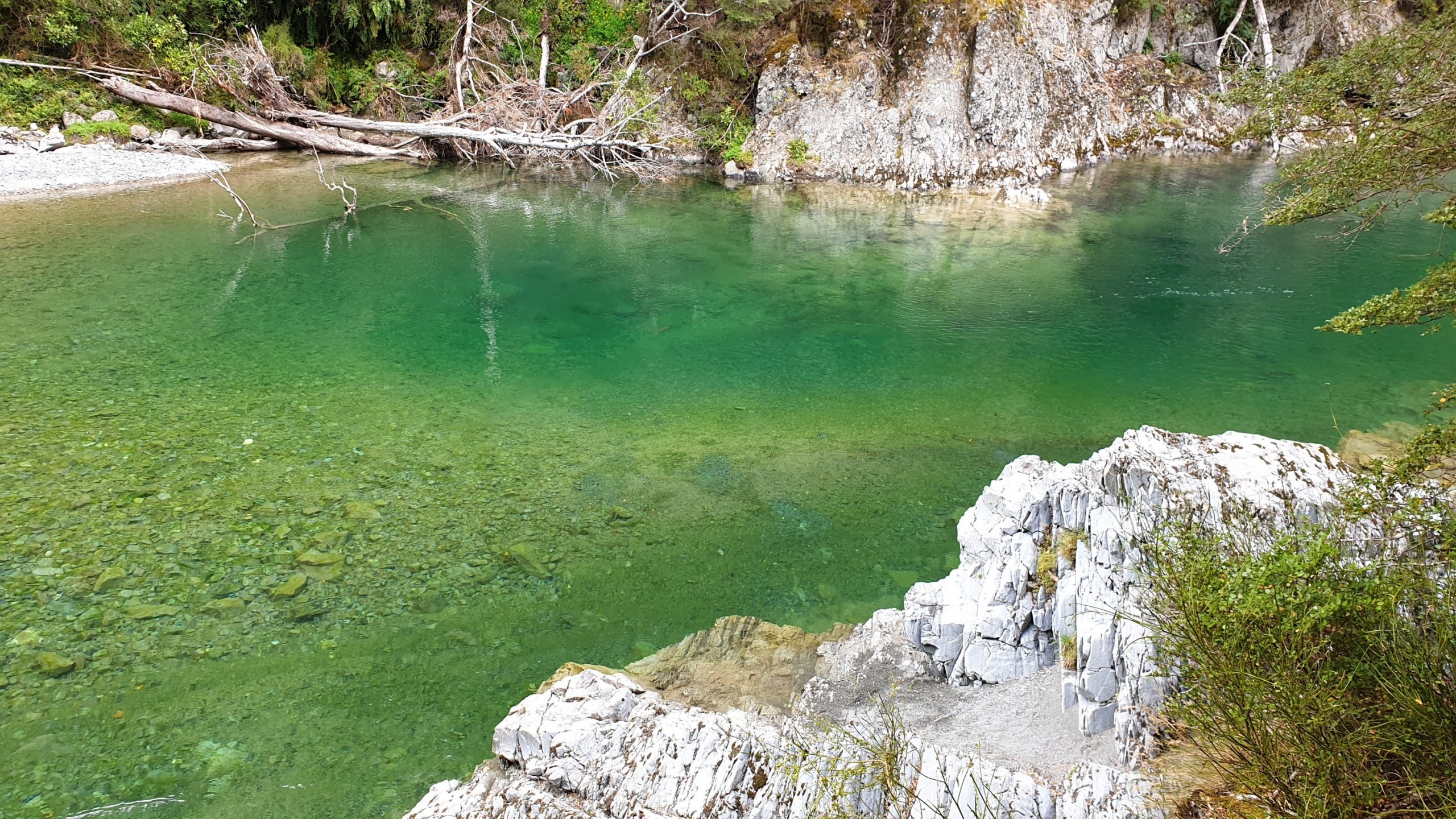
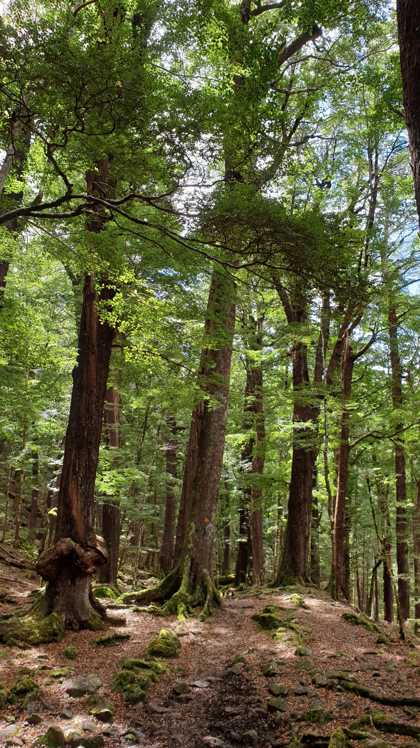
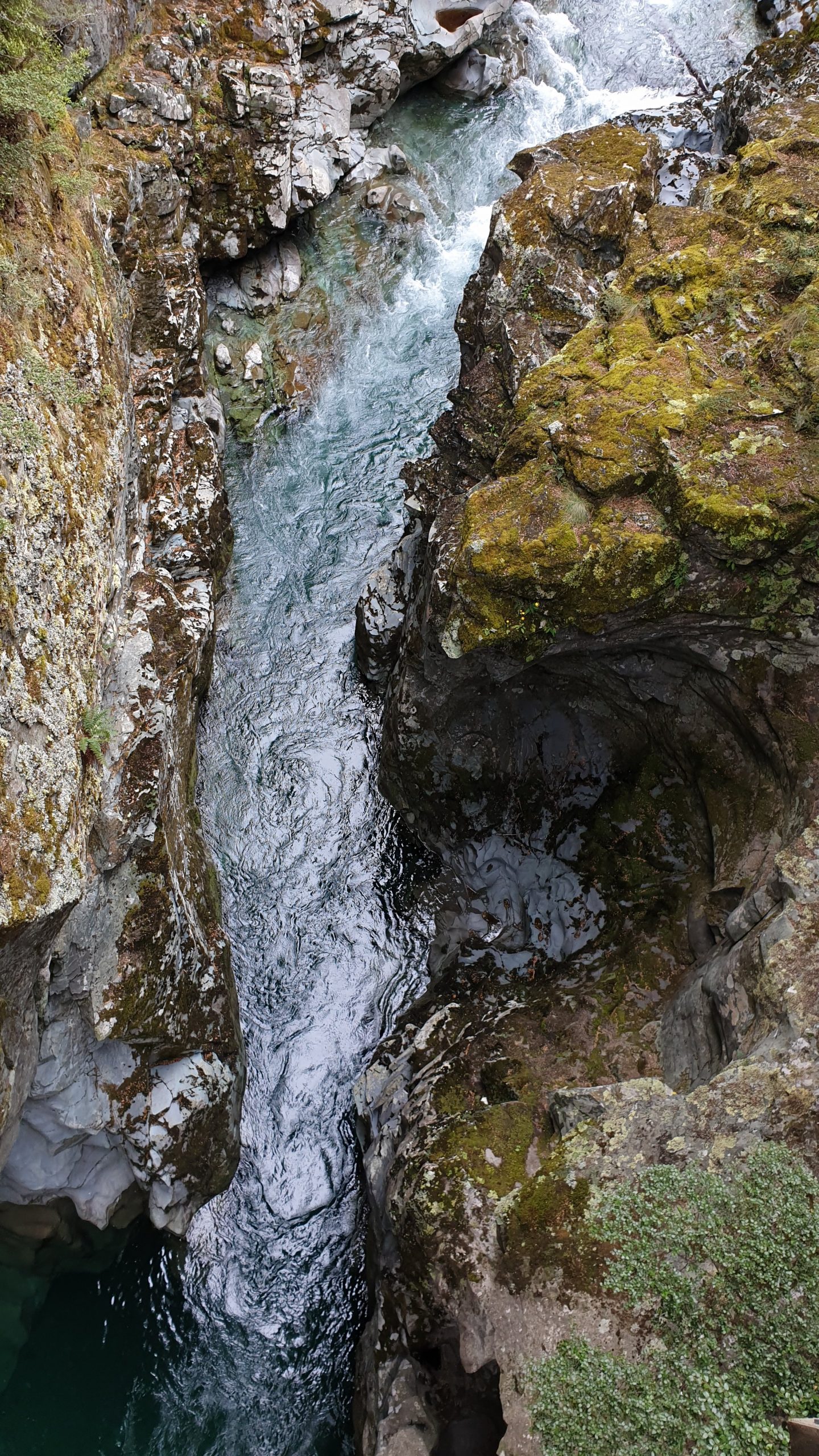
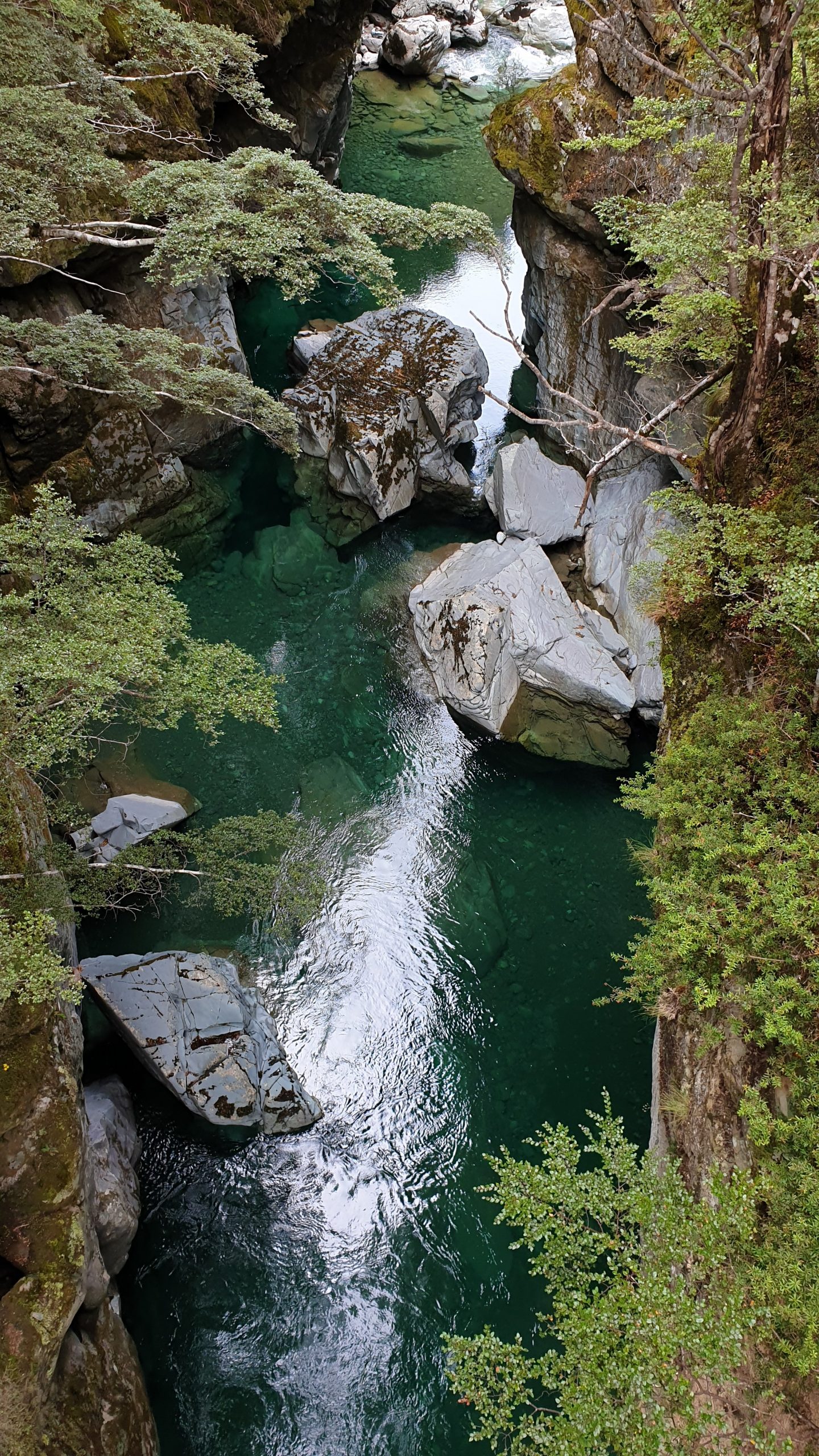
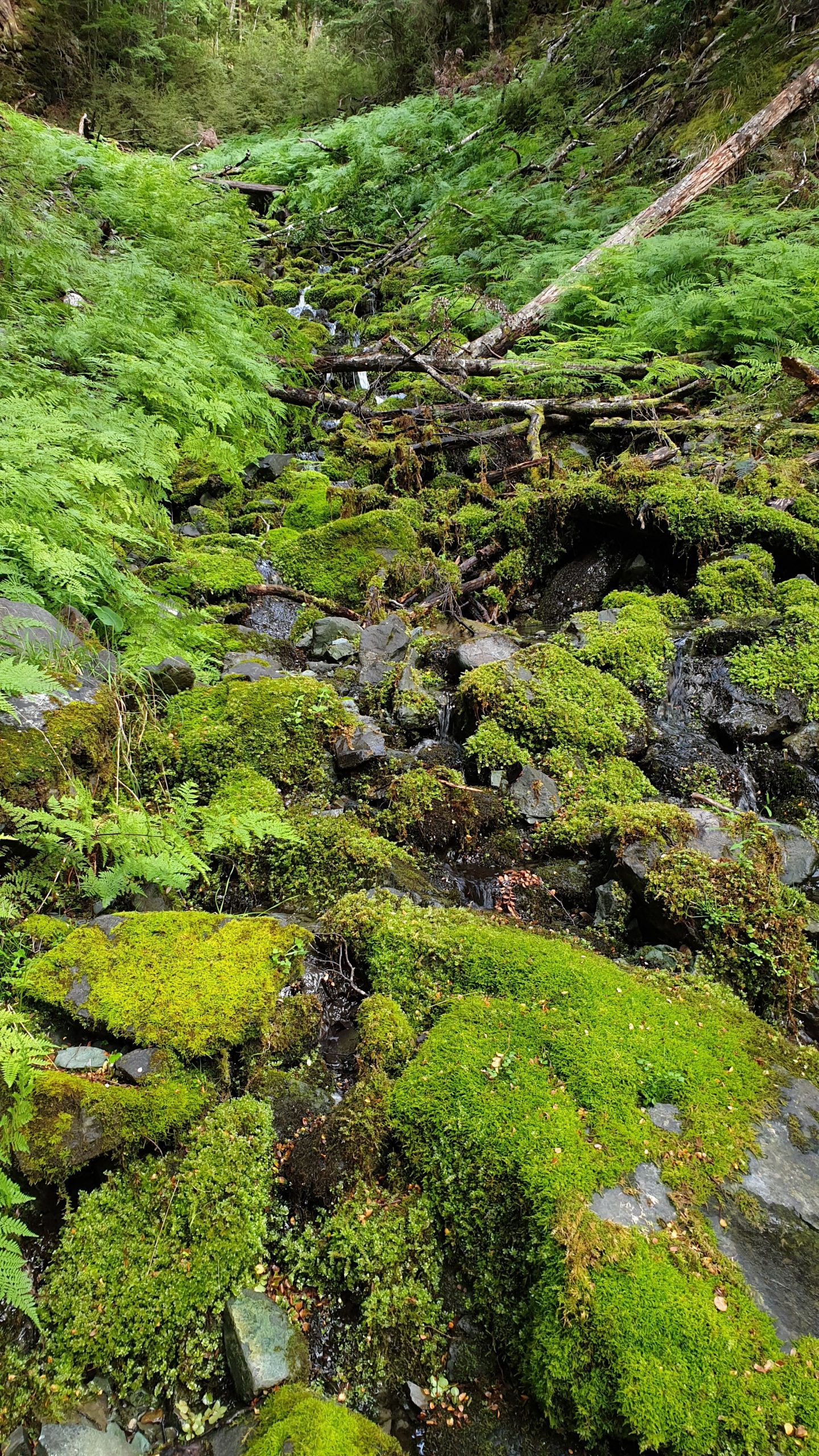
The trail was nice and wide and undulating above a brilliantly clear Greenstone River. The track continues through beech forest through the hike. The forest and overcast weather was more pleasant to walk through than the heat of the last week.
The progress was at a good pace until my groin pain returned with about 4km to go to the hut
…and unfortunately didn’t decrease but got a little worse at a time until my motion was restricted again. I knew that I would have to go to the hut and turn around to get back to Queenstown the next day.
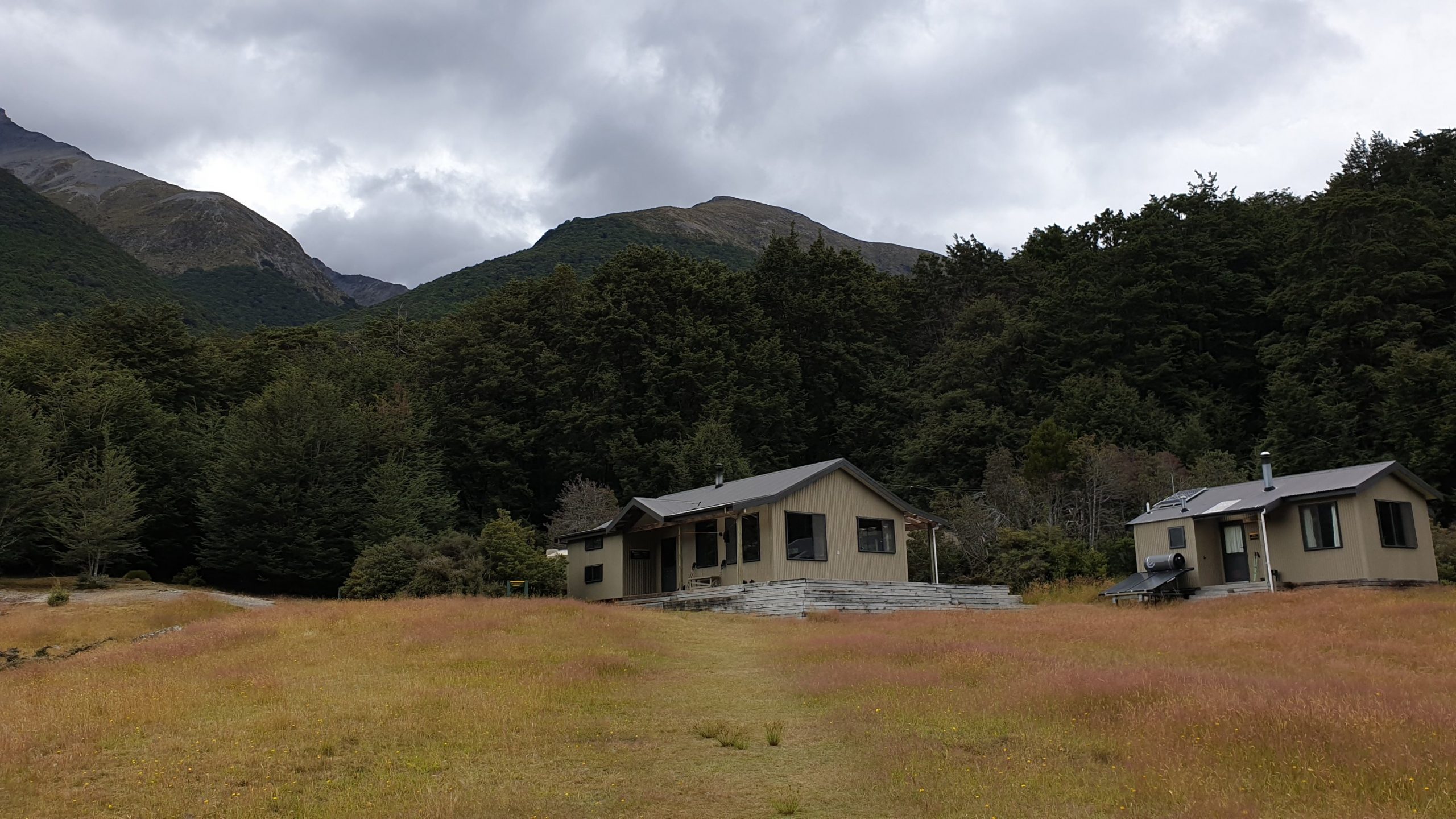
I made it to Greenstone hut after 3.5 hours, which was OK for the 12km. I was one of the first to arrive at the hut, which became overflowing with people who still arrived, dead and rained upon until 8pm!! Their moaning and groaning reminded me of me in the first few weeks though.
Looking back, a few days later it seems that this was actually very fortunate as the South of the South Island had extremely high rainfall, causing wide spread flooding, damage to huts and tracks due to landslides and a large number of road closures.
Hundreds of people stranded and many evacuated by helicopter!
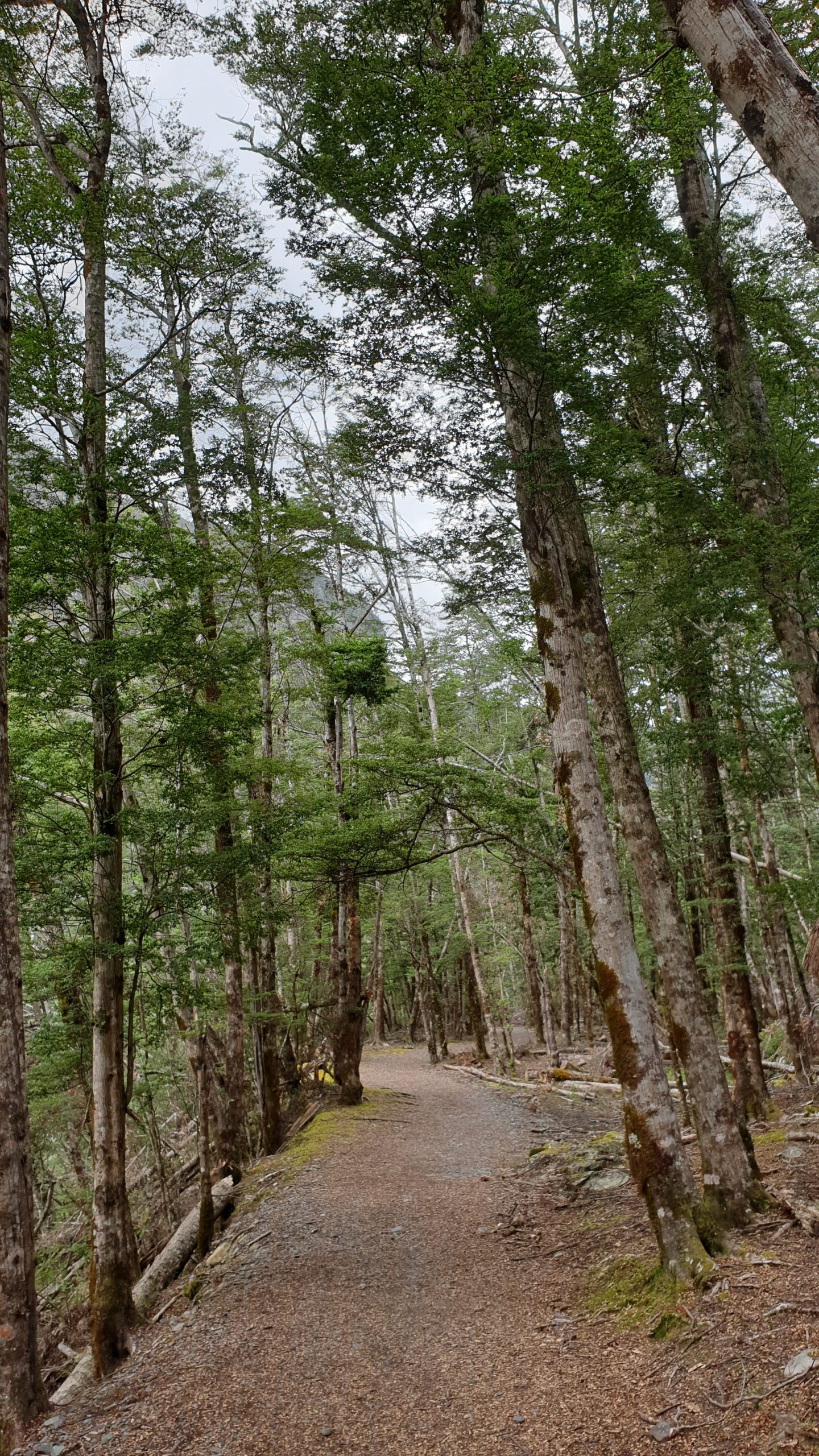
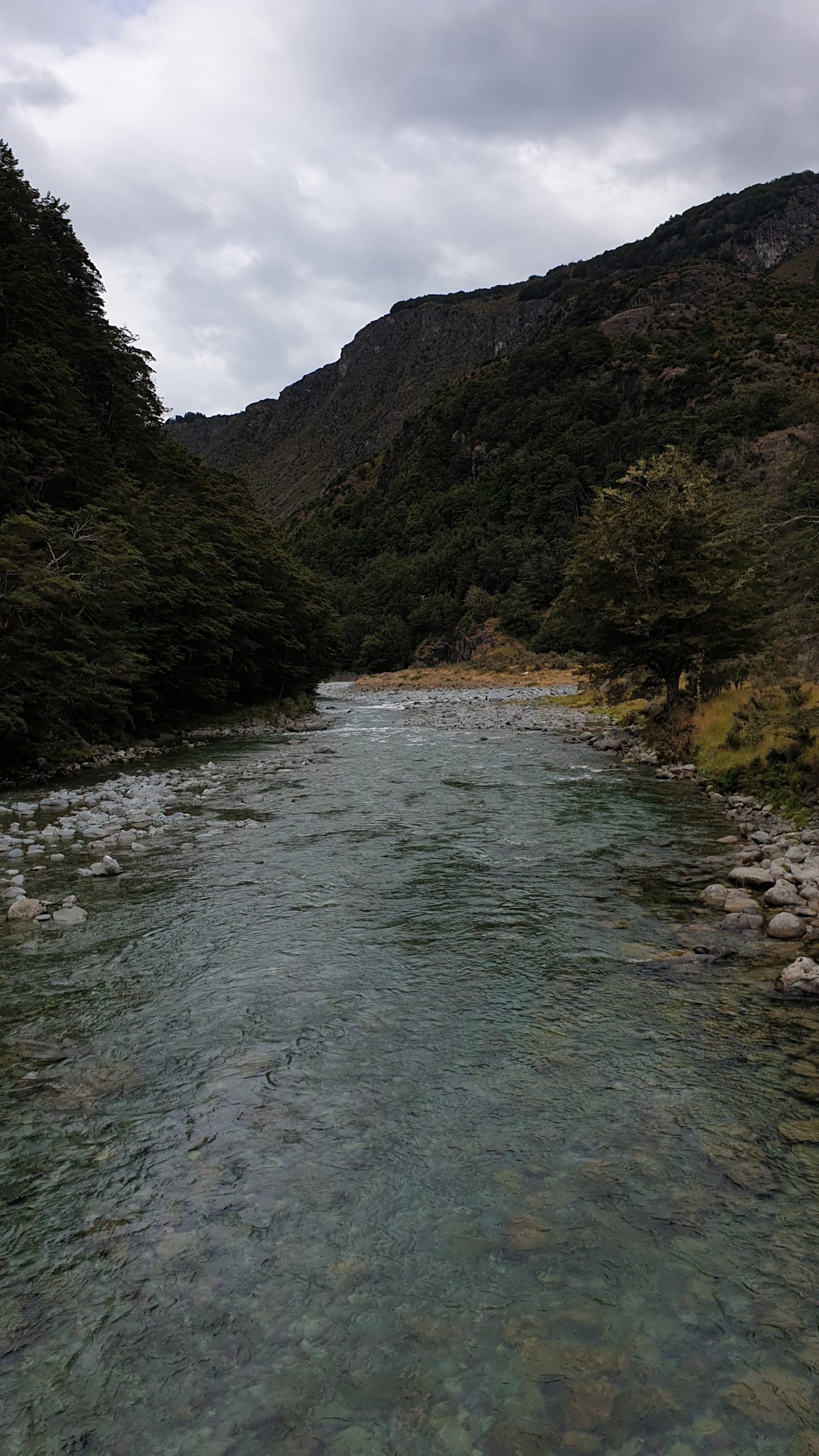
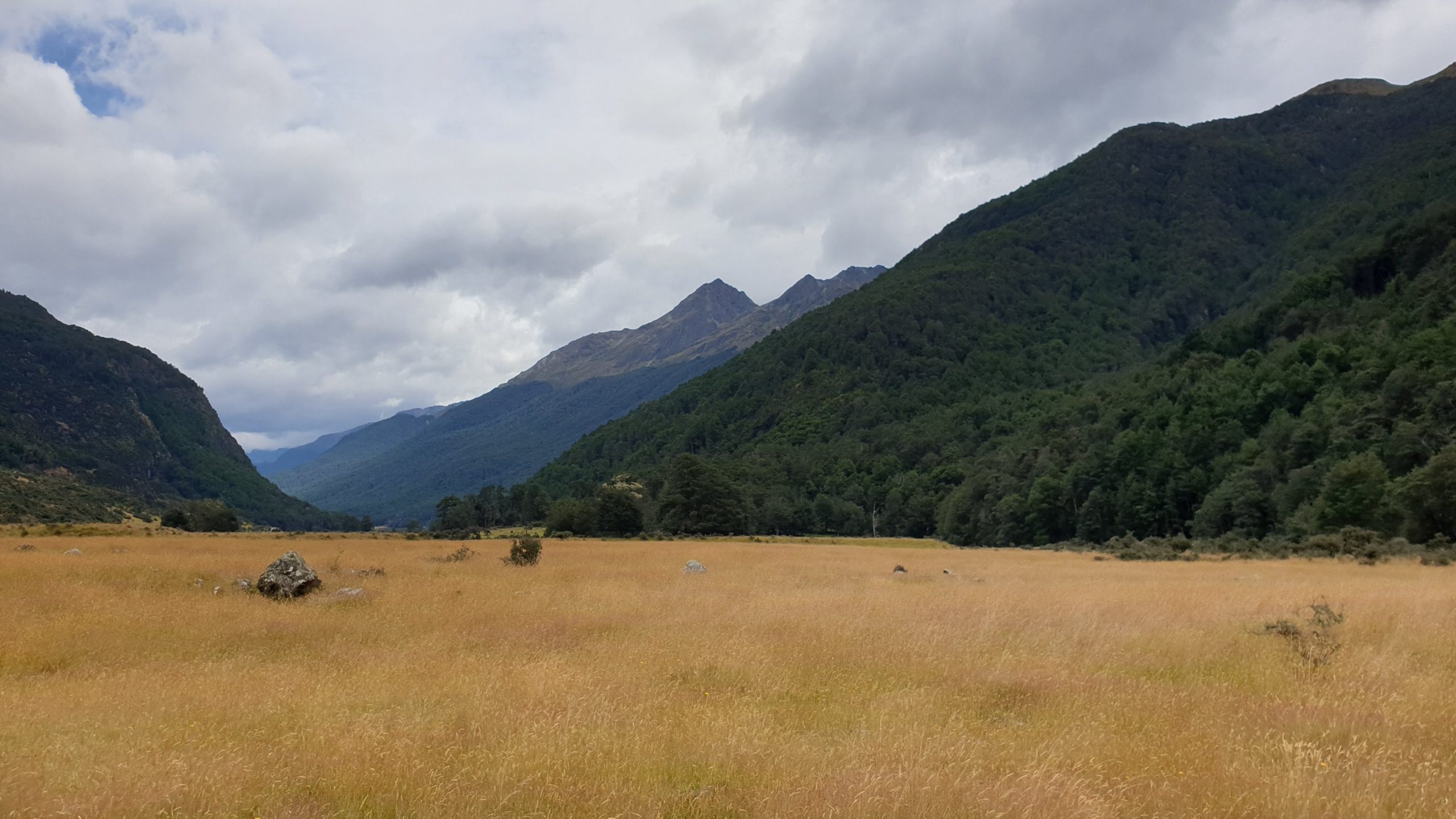
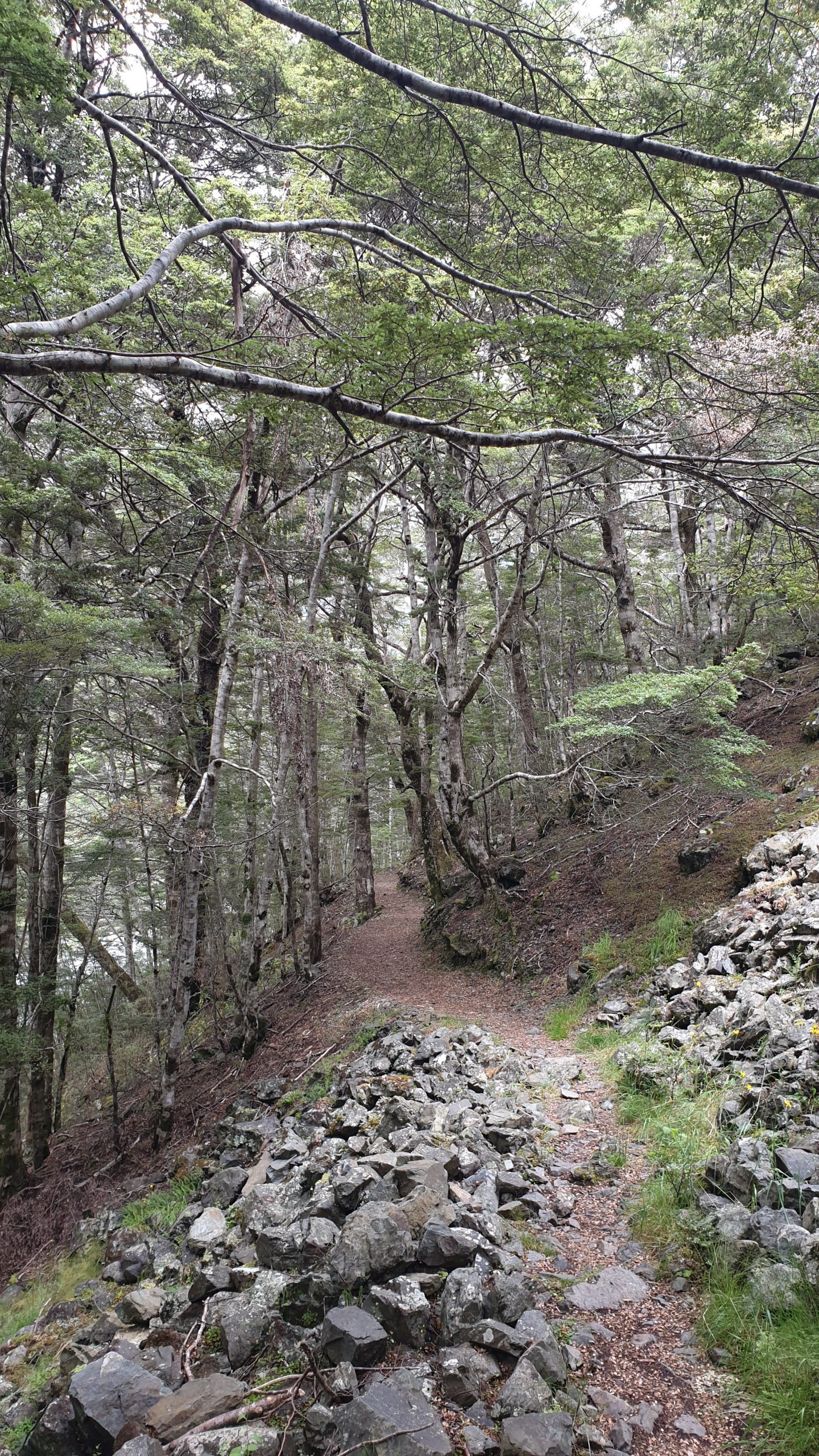
Arrowtown to Macetown Return
Day 98-99
25-26 January 2020
Km 34
Cumulative Km 993
After a few days of rest and a physio appointment my groin was much better.
The next section was due to be the Motatapu Track- a very exposed, ridgeline track. So I checked the weather and saw that half way and last day the area was due to be hit with big rain and wind. That would make it even more dangerous and thus I made another plan.
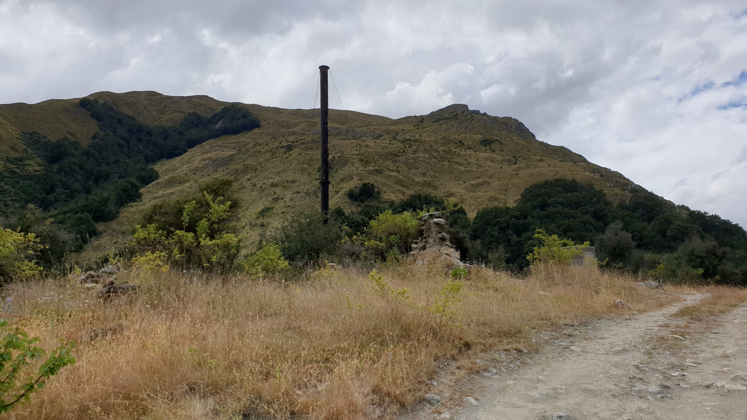
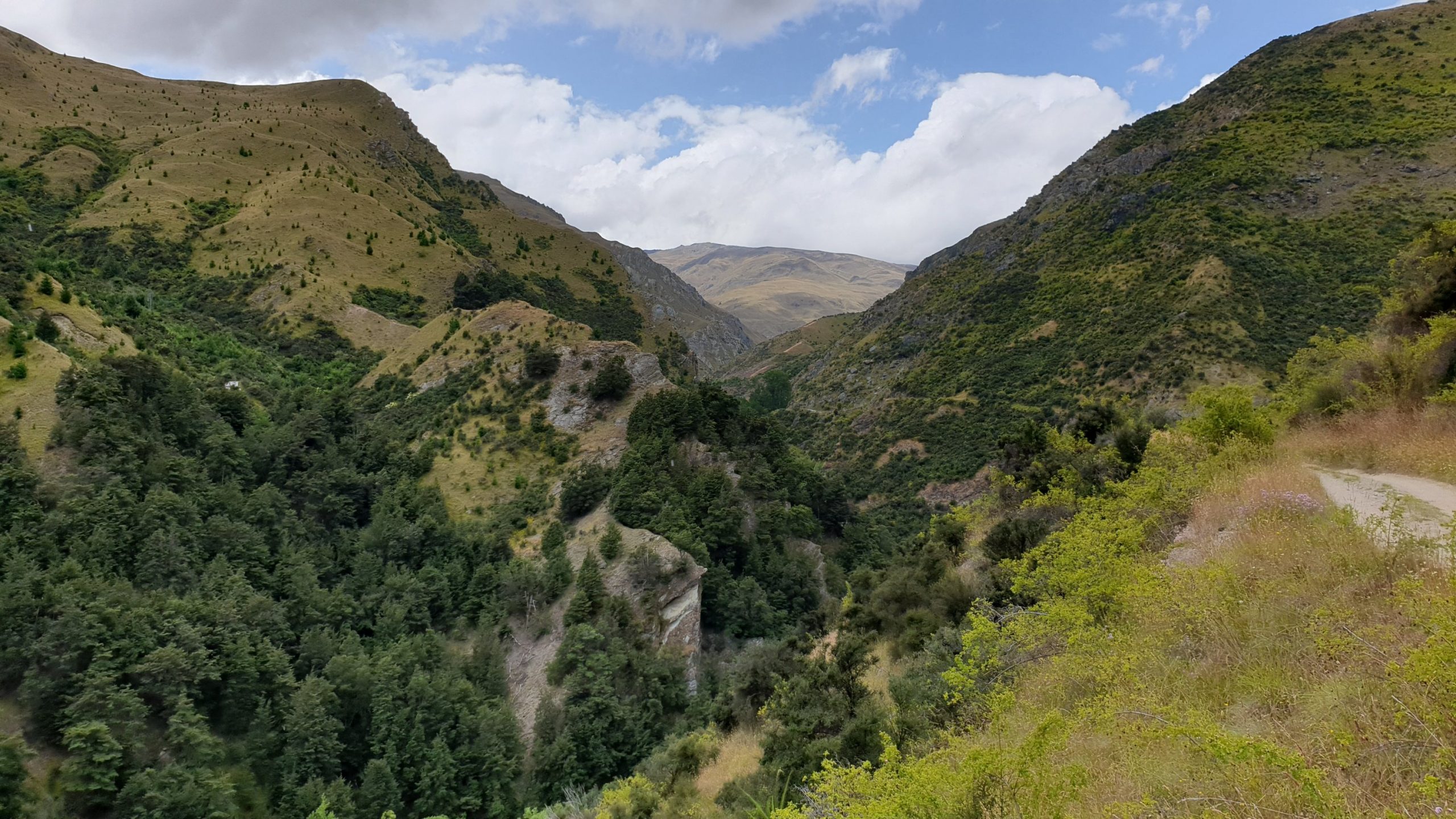
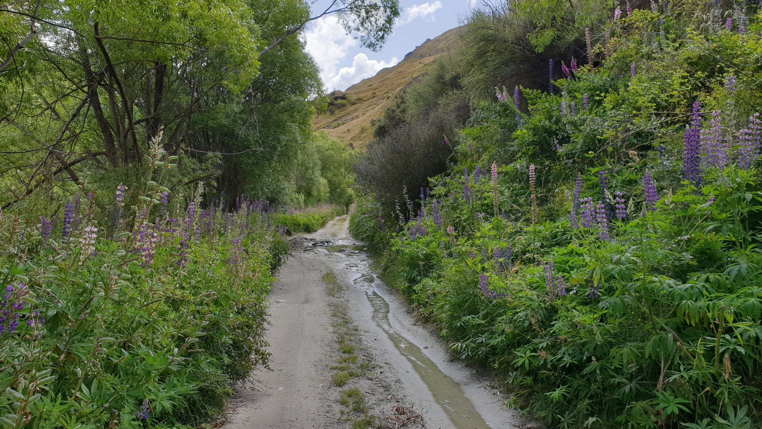
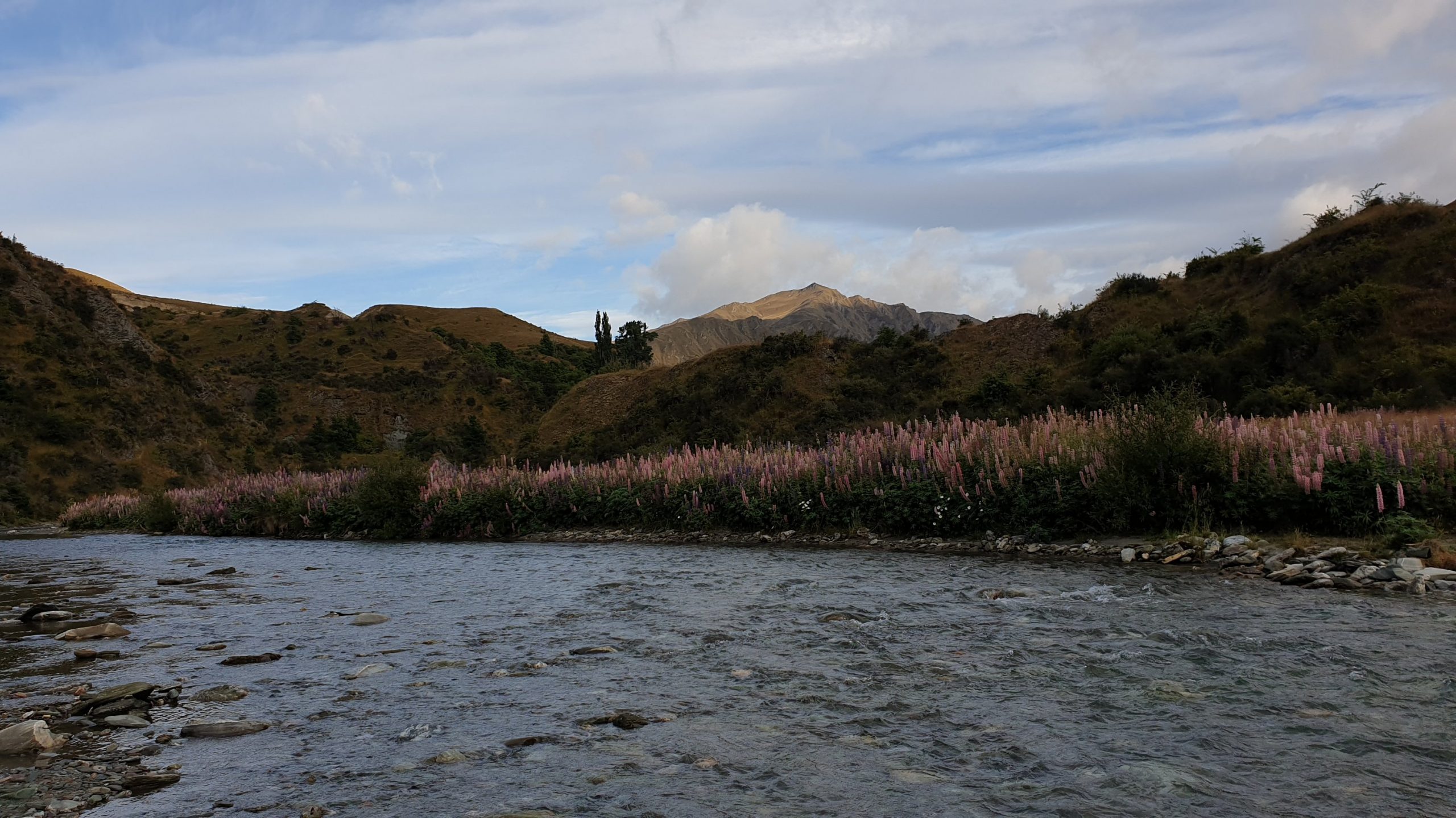
I took the bus to Arrowtown, did the walk to Macetown via 4WD track and did the return the next day.
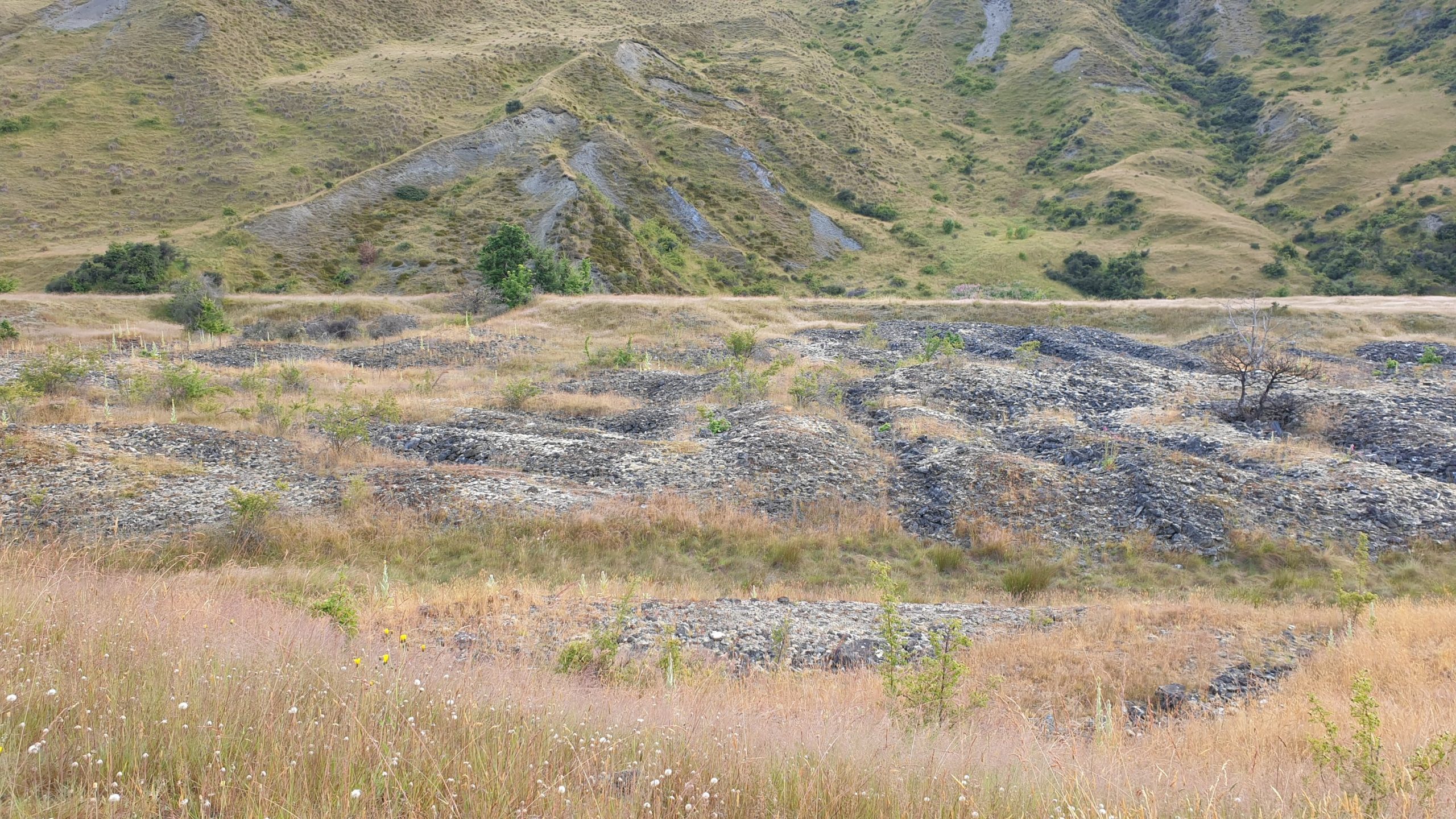
I wanted to see Macetown as it has remnants of the old gold mining town that was here in the late 1800s.
The track is pretty good with plenty of river crossings- 22 apparently- though I didn’t count them myself.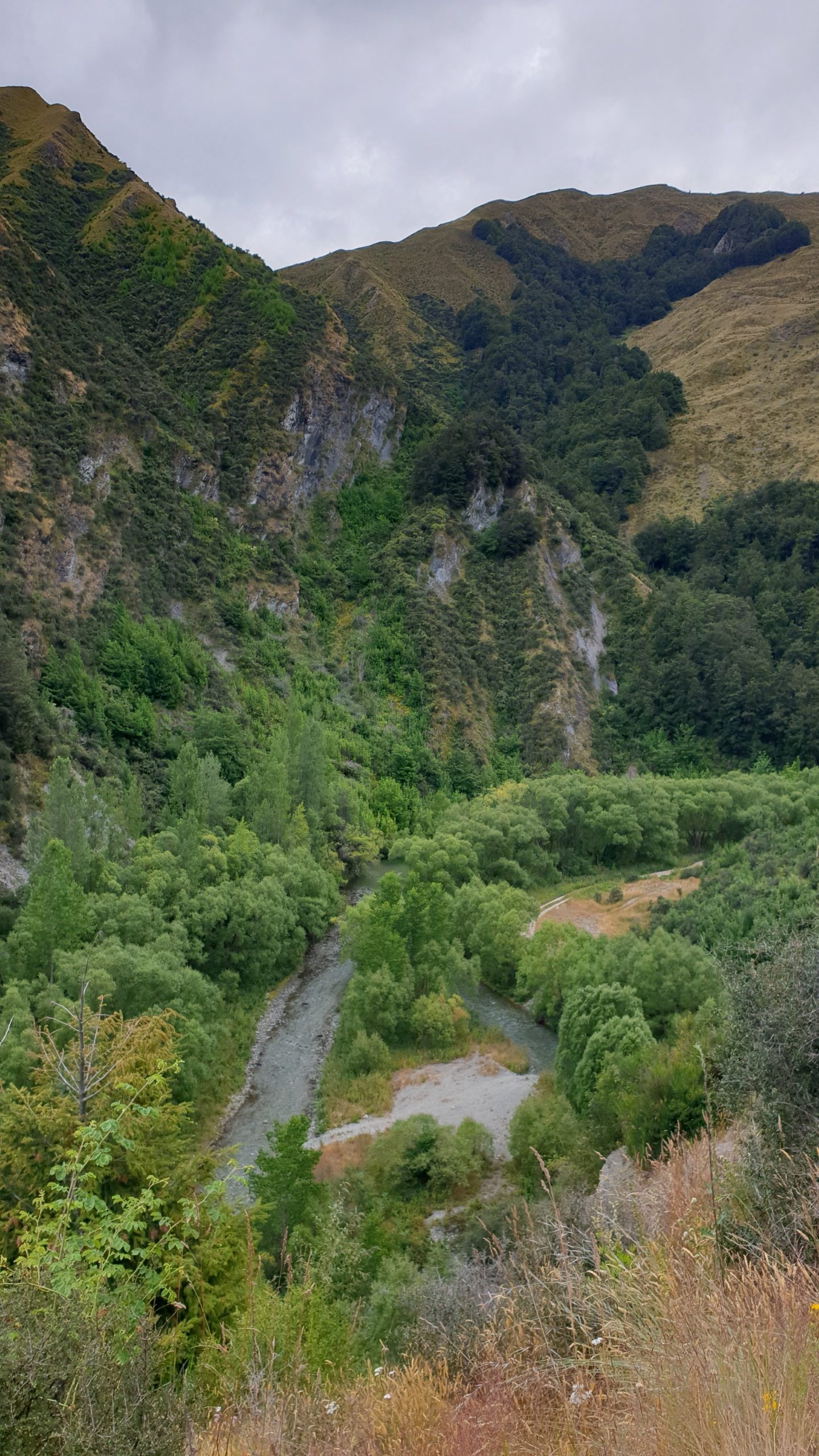
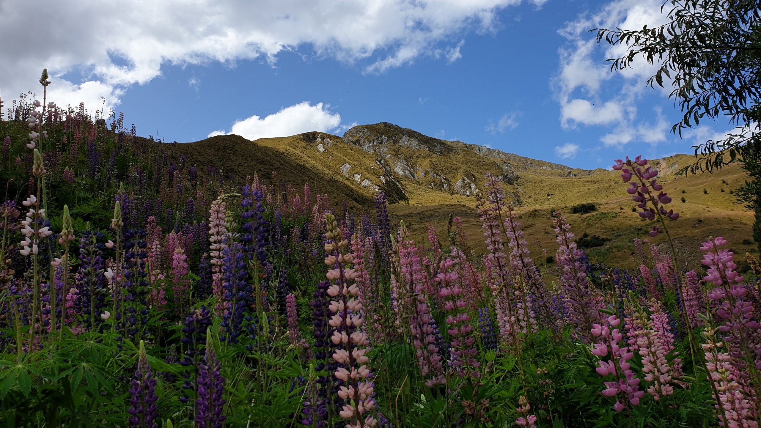
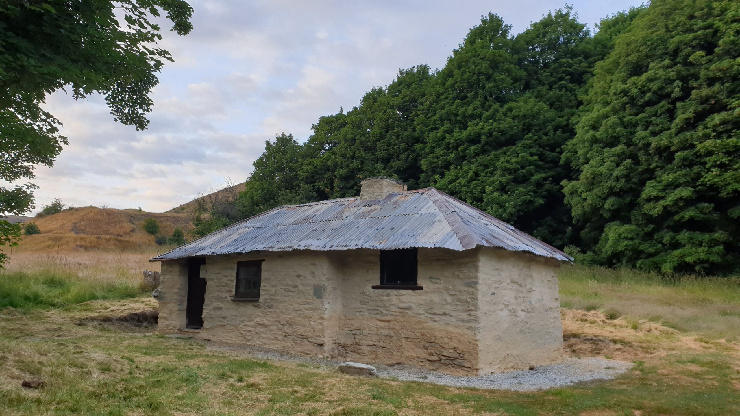
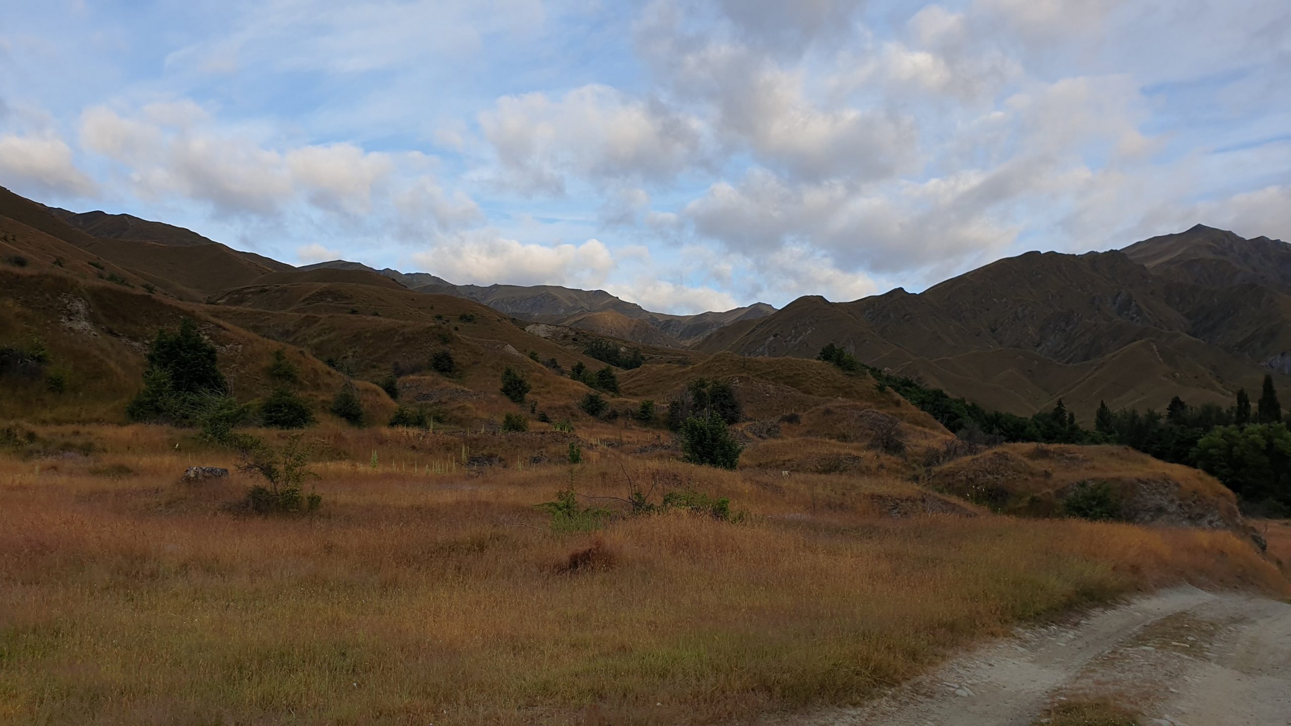
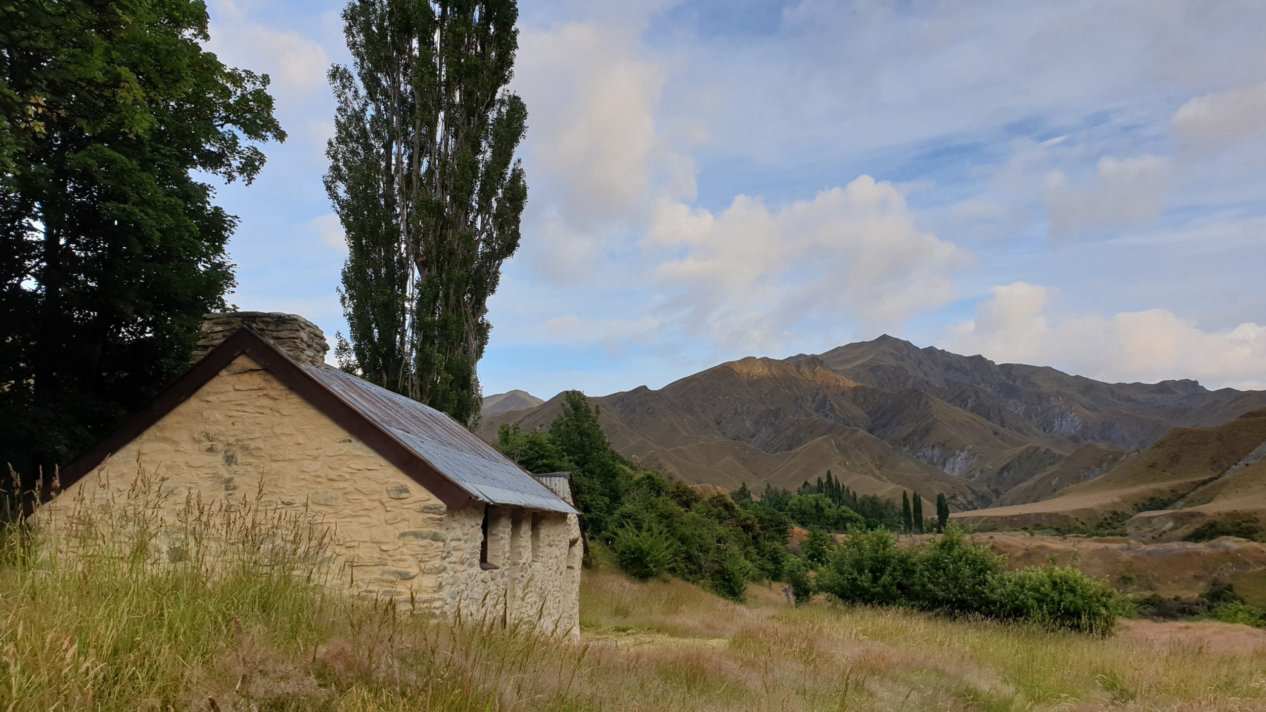
Twizel to Wanaka
Day 90
17 January 2020
Km 31
Cumulative Km 865
After 2.5 weeks of visiting with friends and waiting out rains in the passes I finally started walking from Twizel. It was the closest part of the trail to Temuka, where I visited with Vasti and family for a couple of nights.
It was going to be a long day as the kilometres were many though at least the terrain was flat. With 8 days of food though, the back pack was really heavy!!
I didn’t see much scenery in the morning as it was misty. Spent the morning walking along Lake Ruatanhiwa- a man made lake for storage of water for hydroelectric power. Then the trail took me alongside Oahu River and a long way around Oahu Lake.
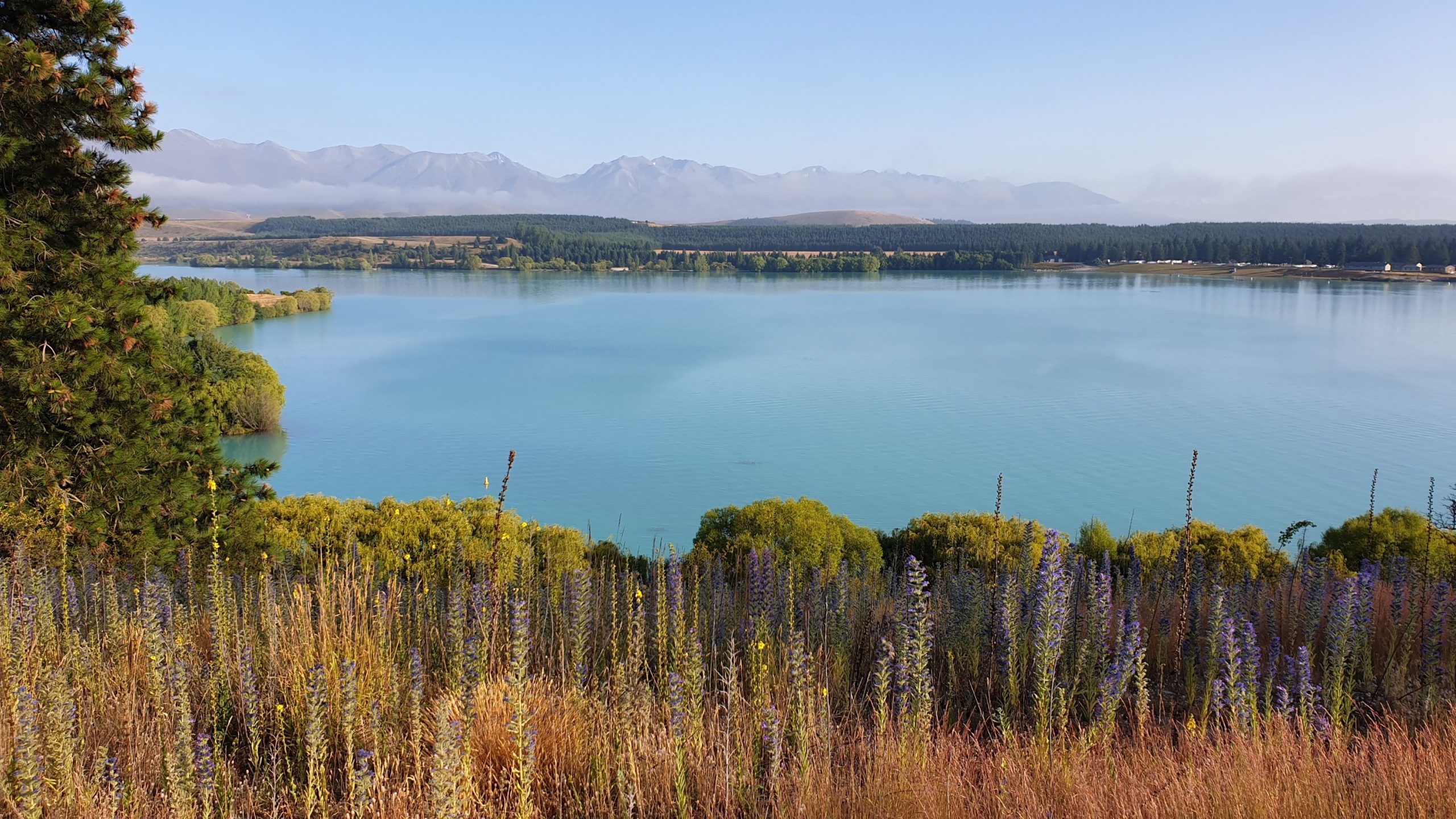
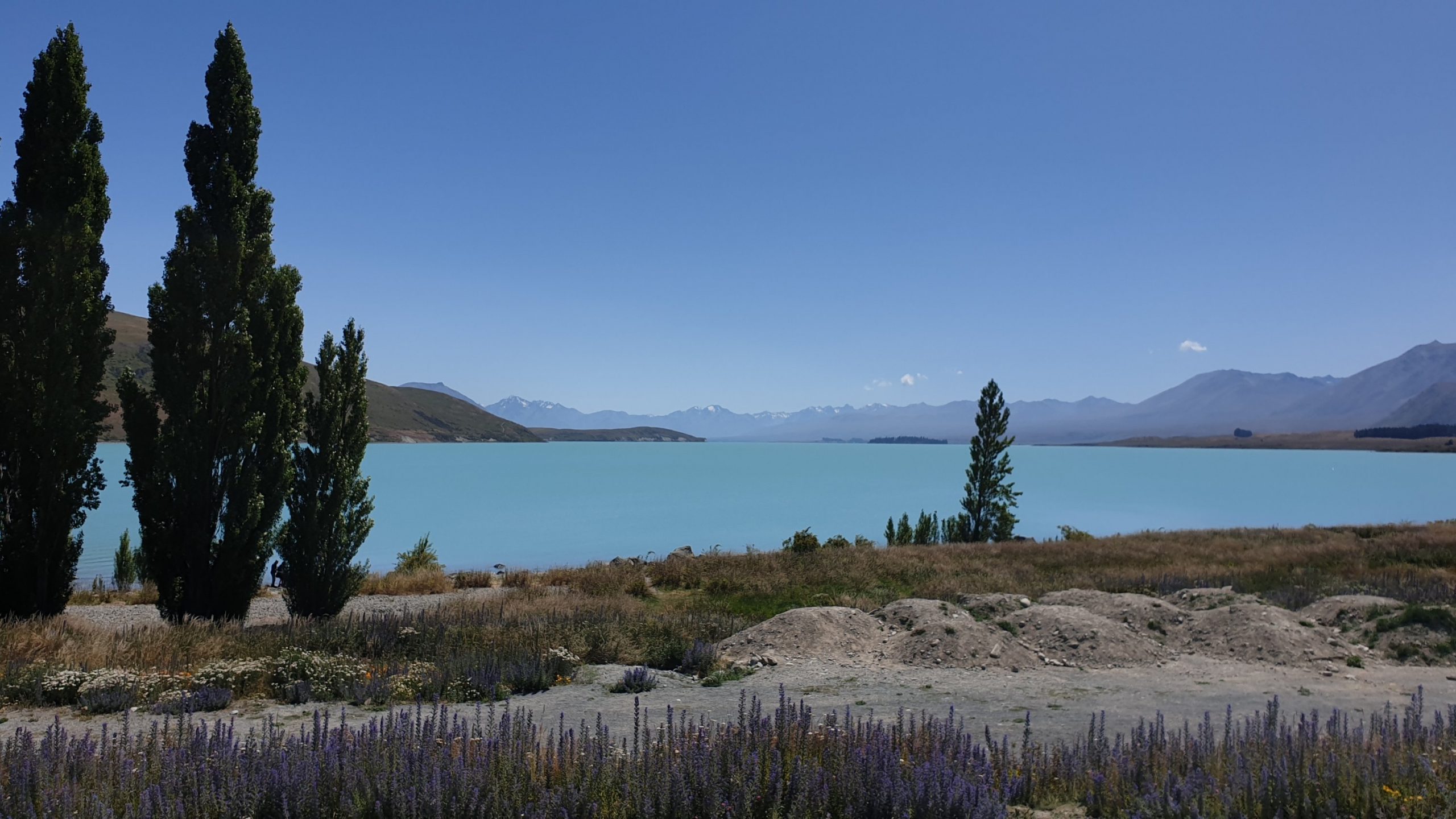
The lake is very pretty- turquoise blue with some dramatic mountains, some snow covered serving as the backdrop.
After leaving town at approximately 06h30 I finally arrived at camp at 14h45.
 Lake Tekapo
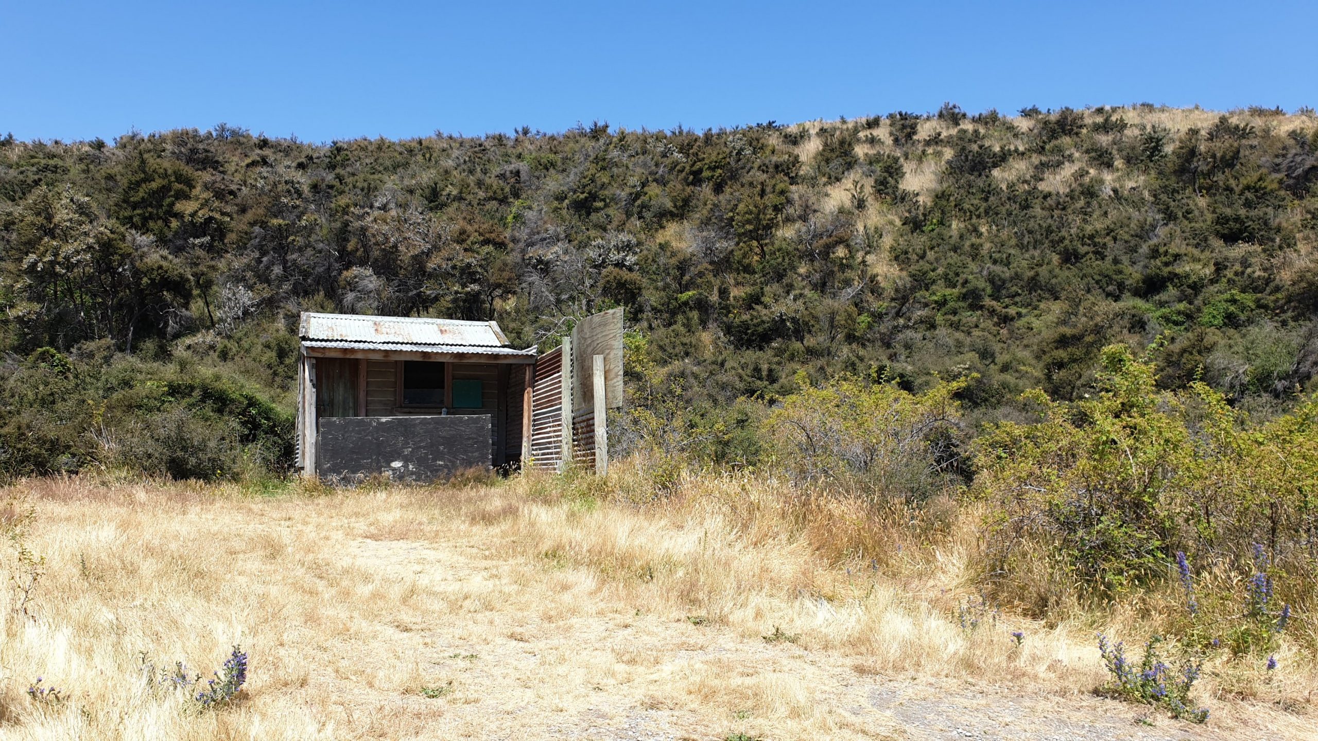
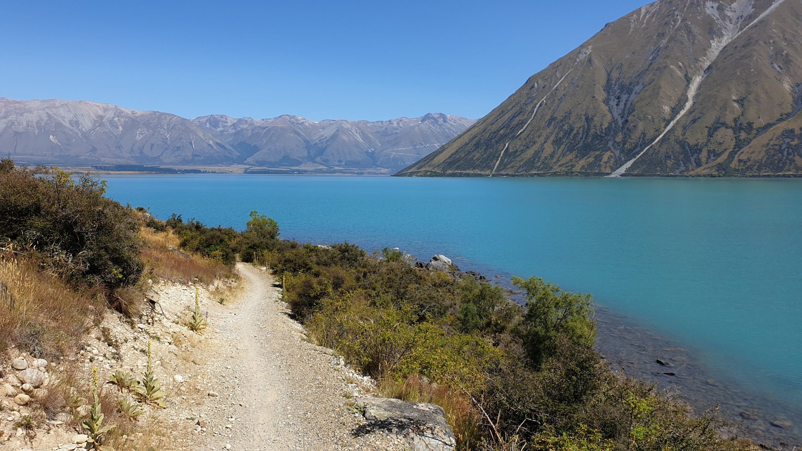
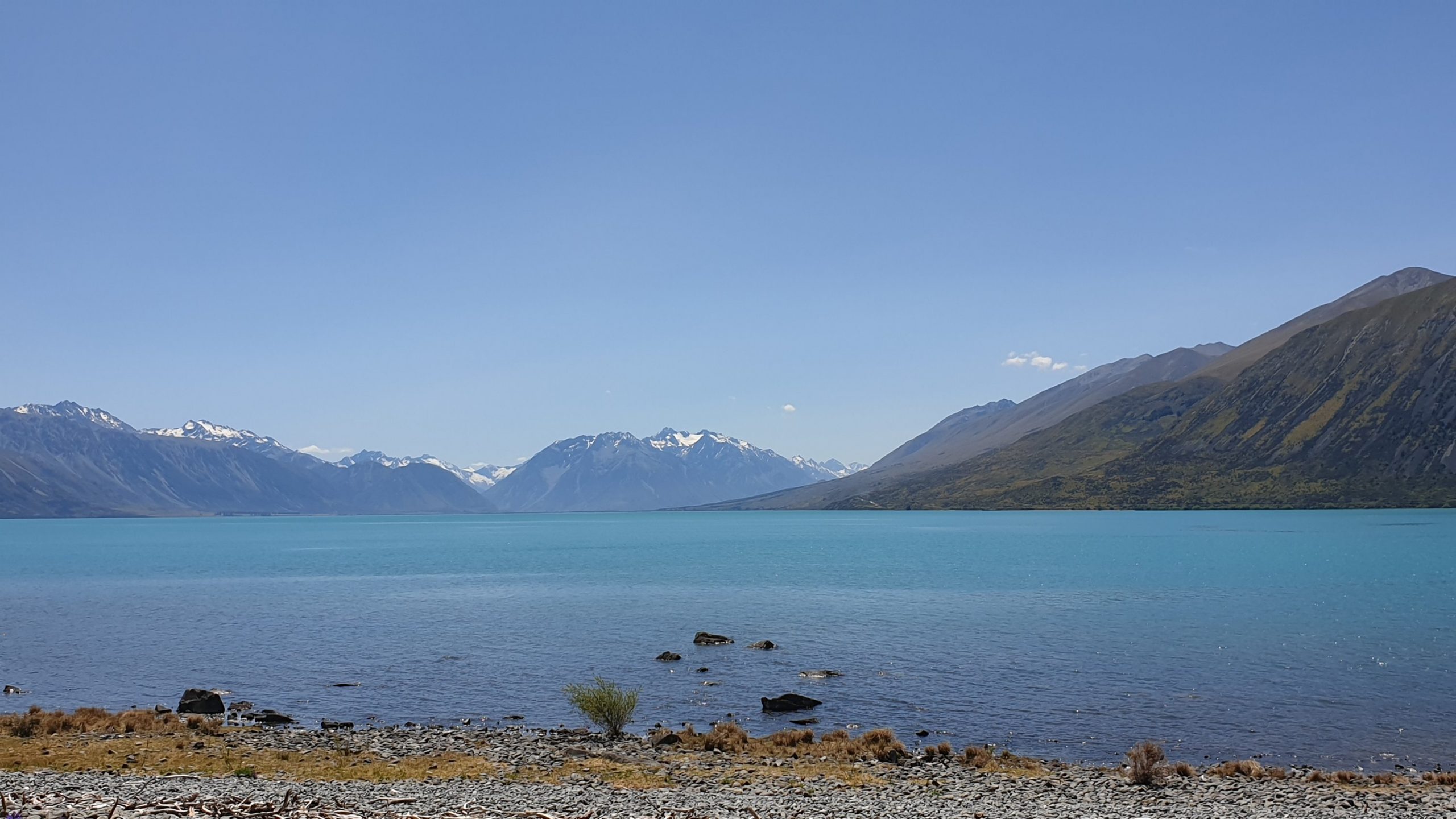
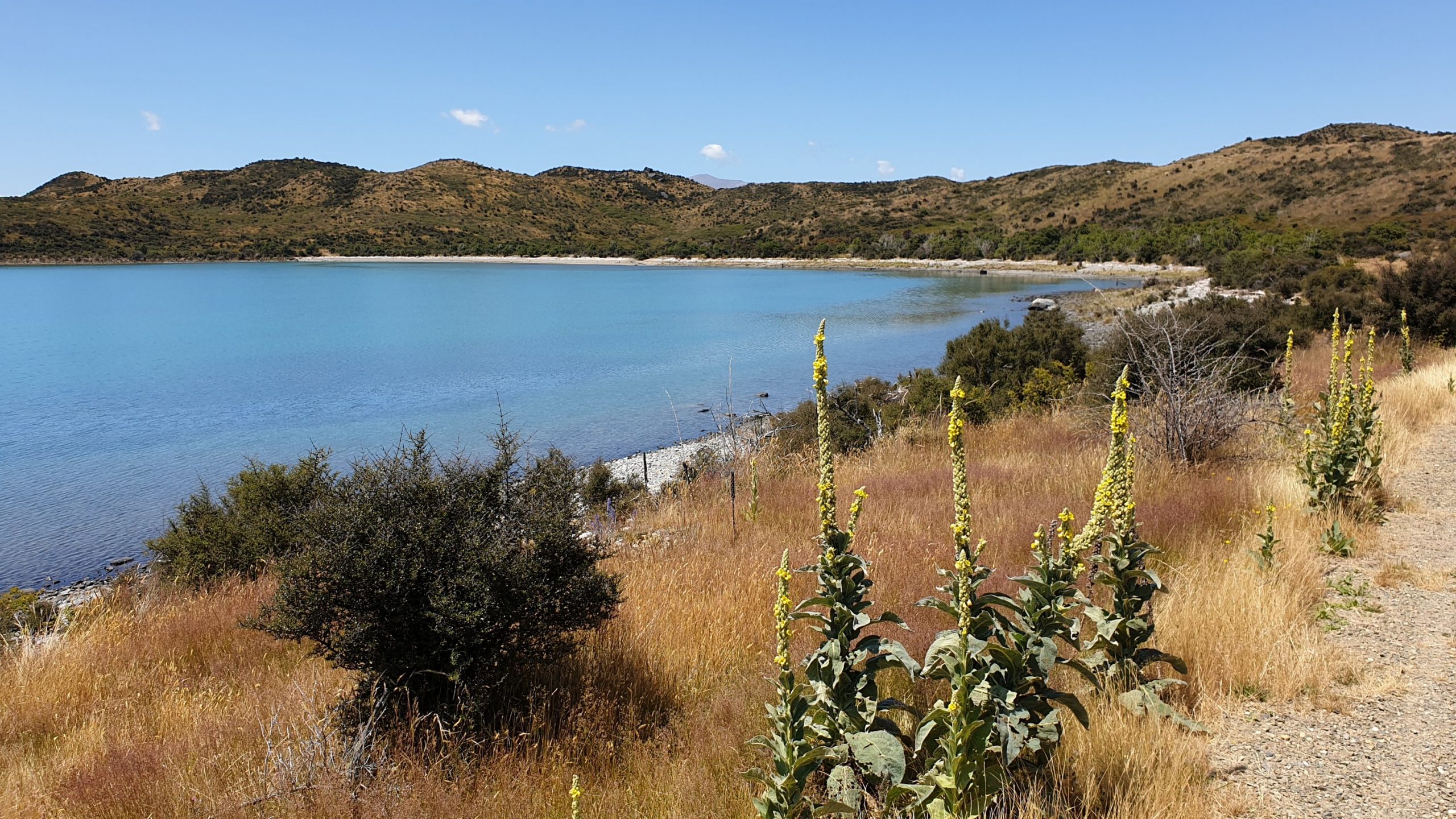
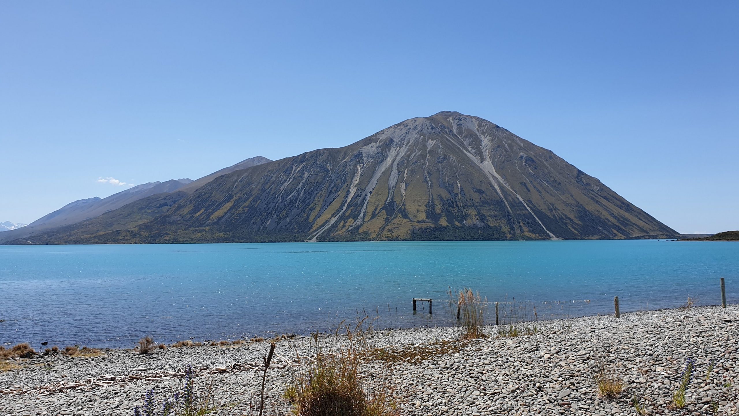
Day 91
Km 27
Cumulative Km 892
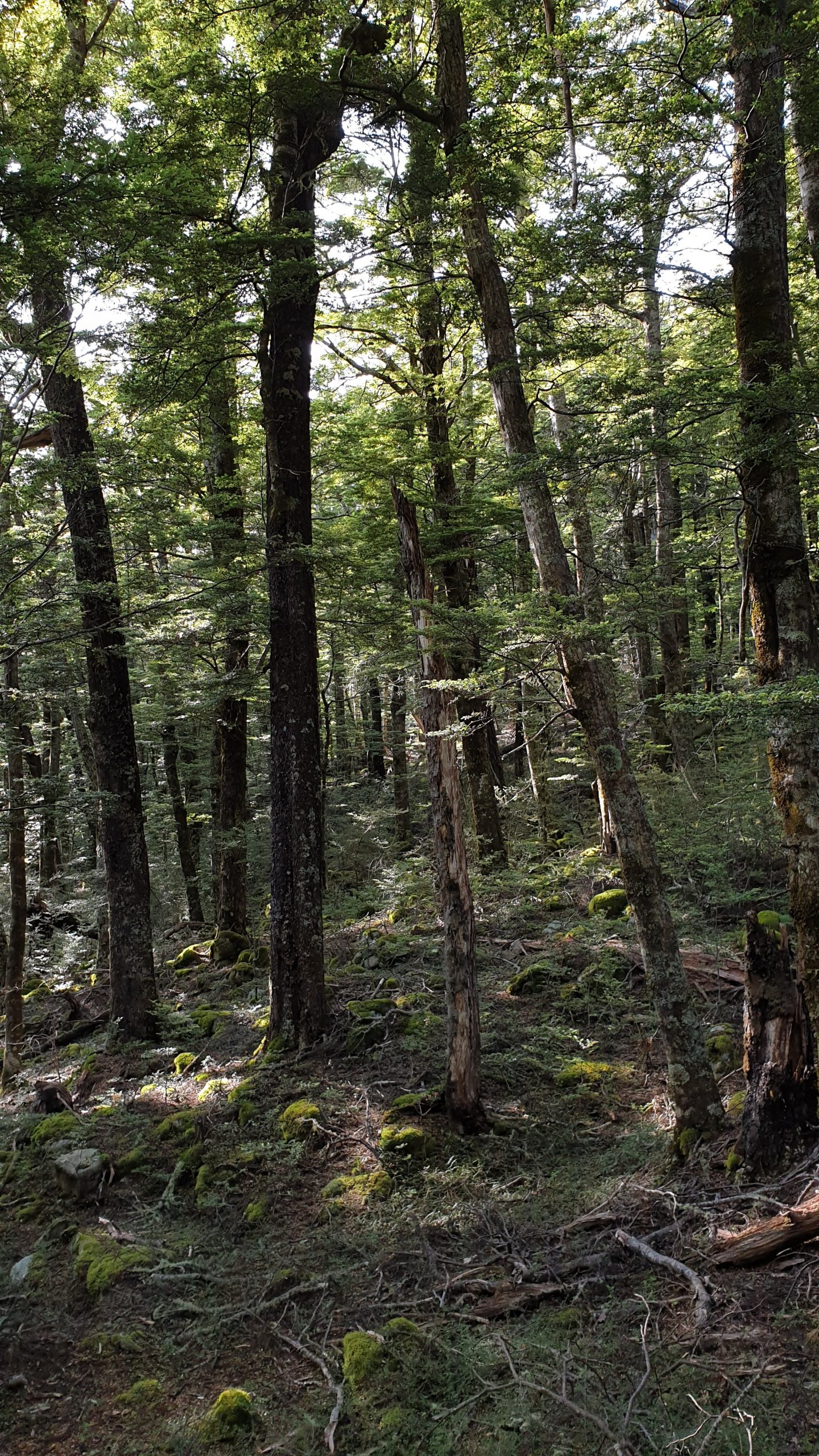
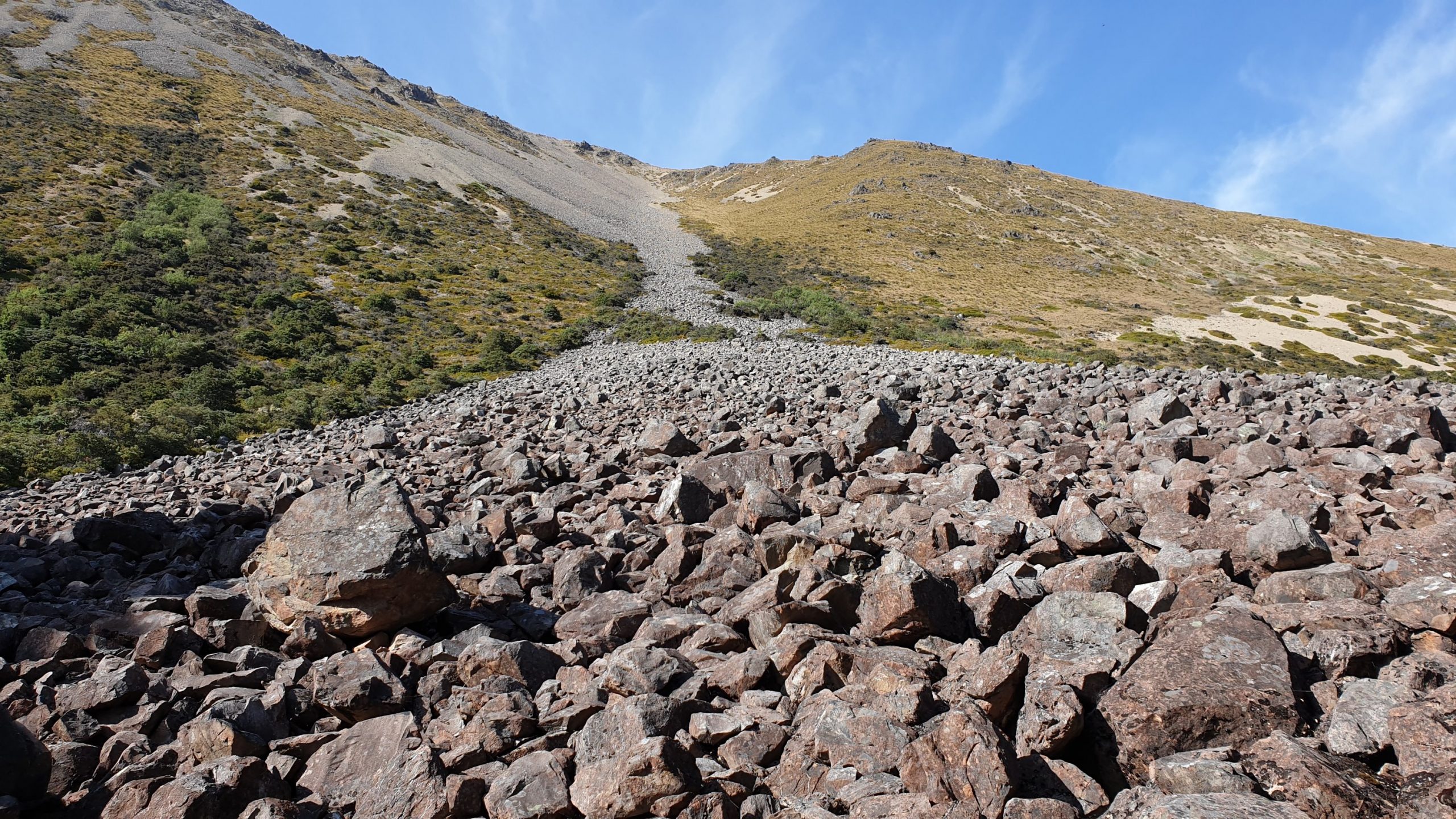
Today started with a 3km road walk to get to the trail head and then a steady climb through beech forest to the bushline. There was some uncomfortable walking up some small boulder type rocks, but there weren’t too many .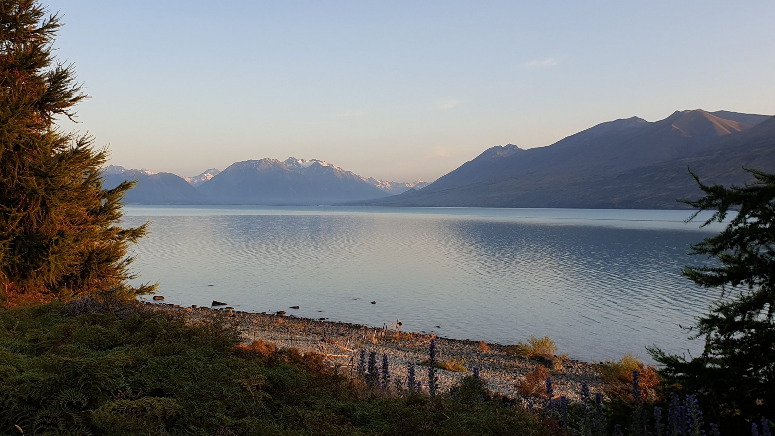
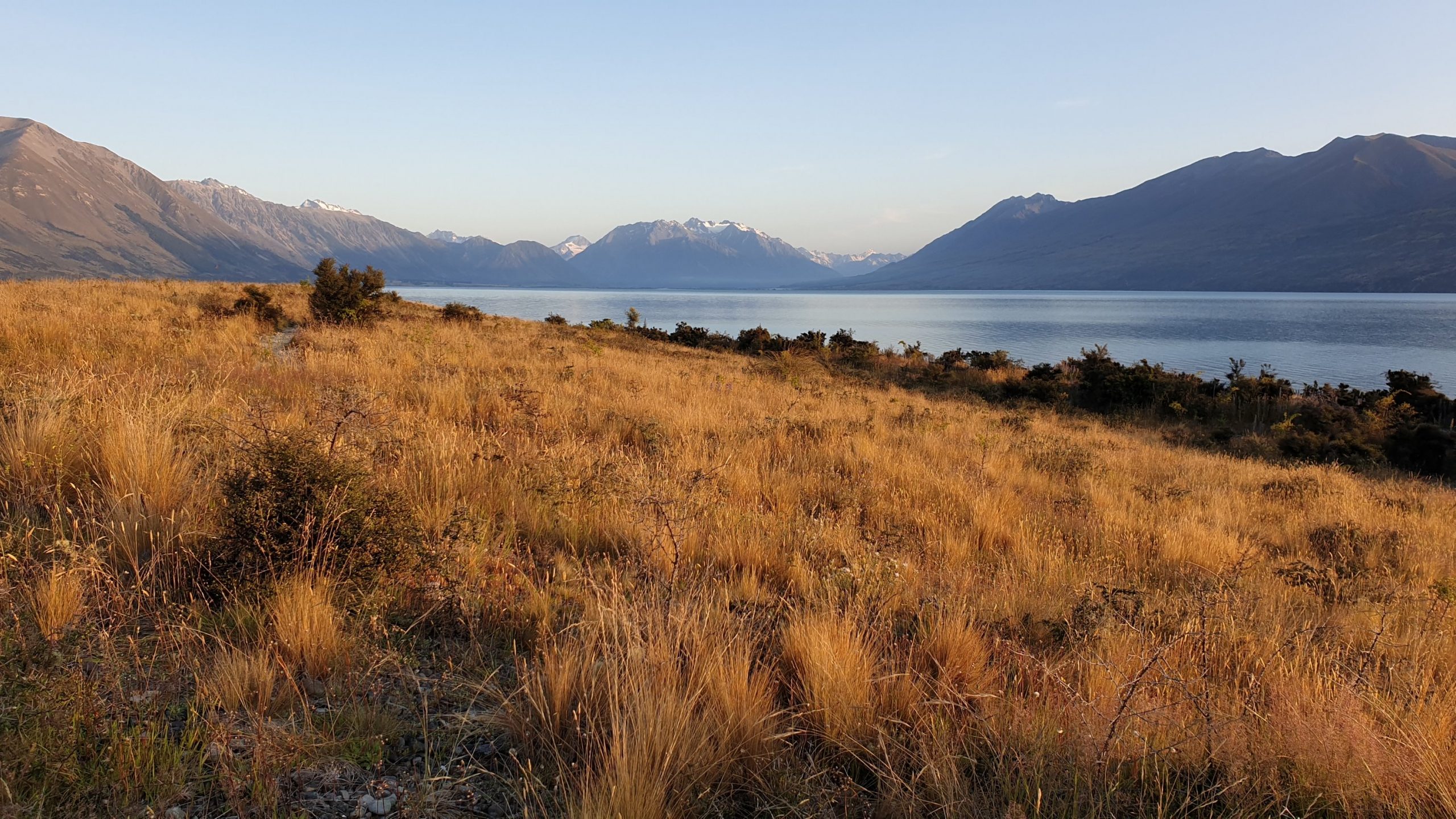
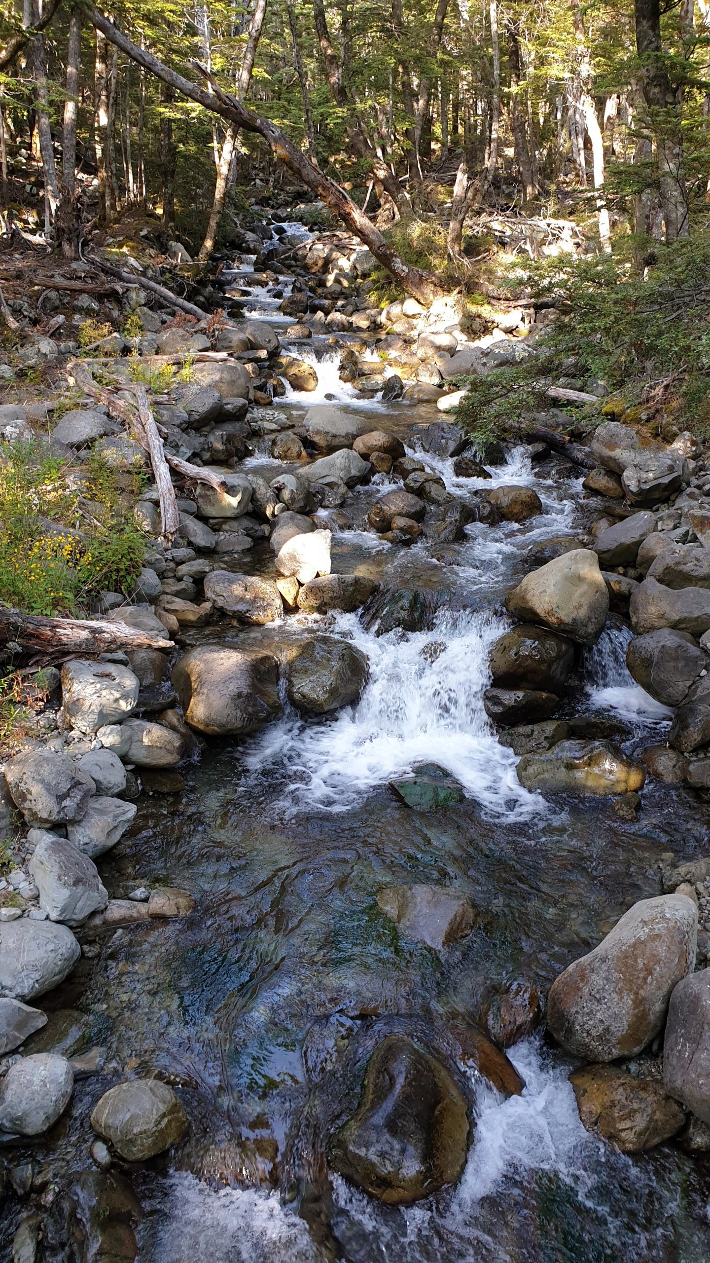
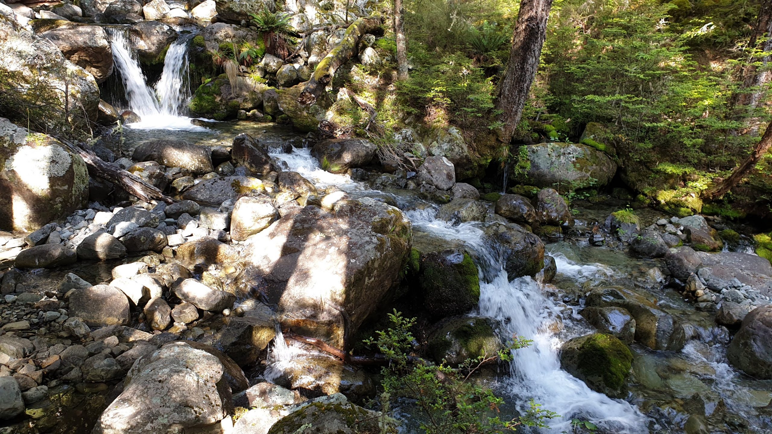
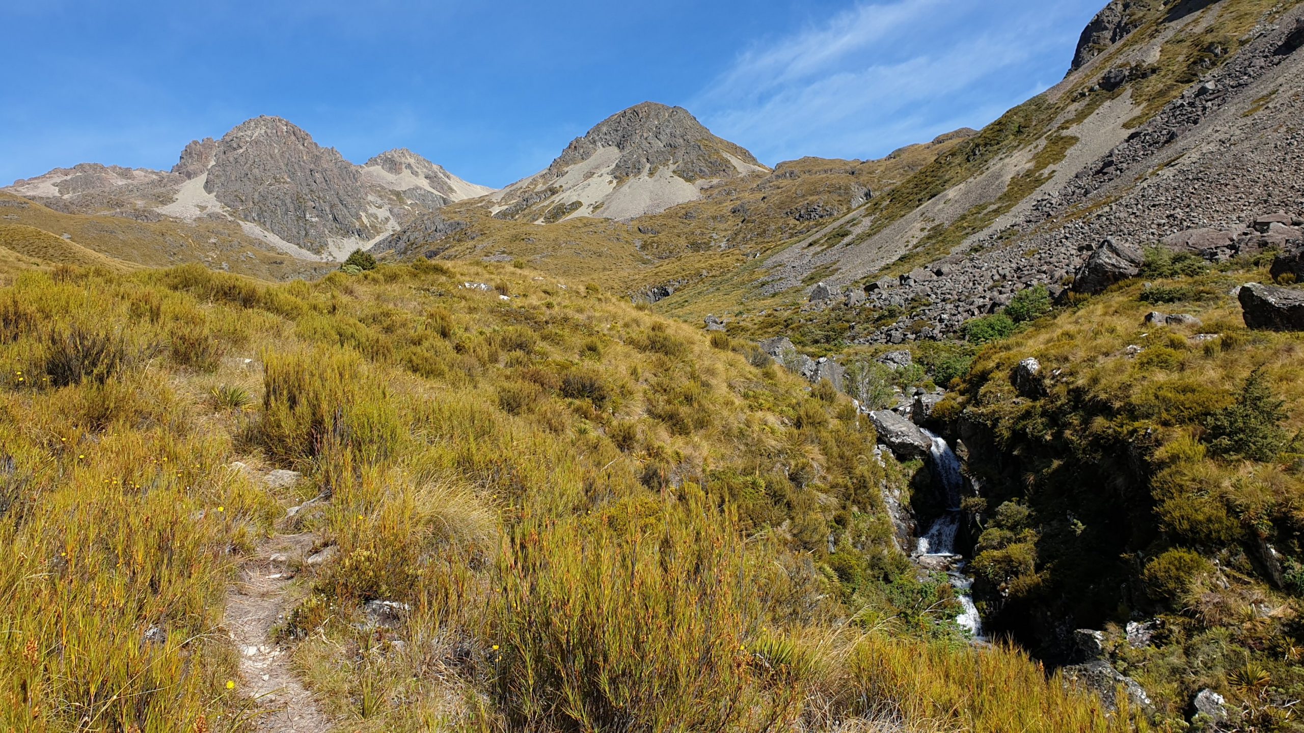
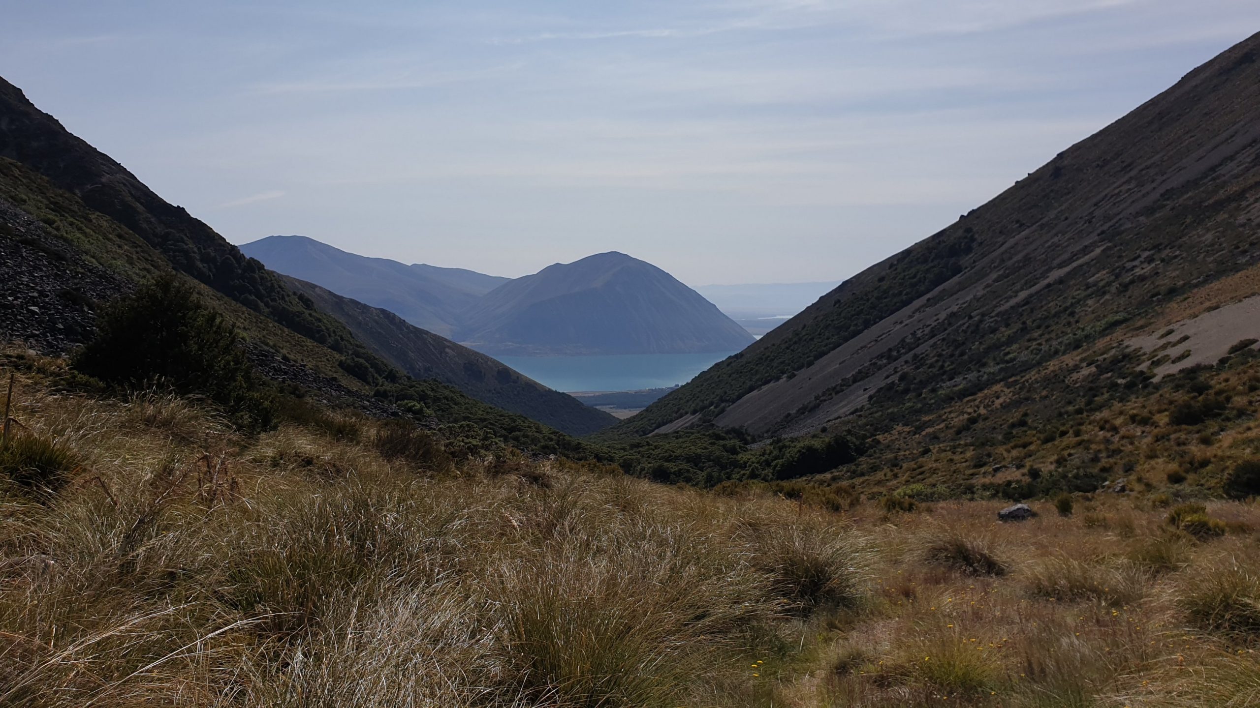
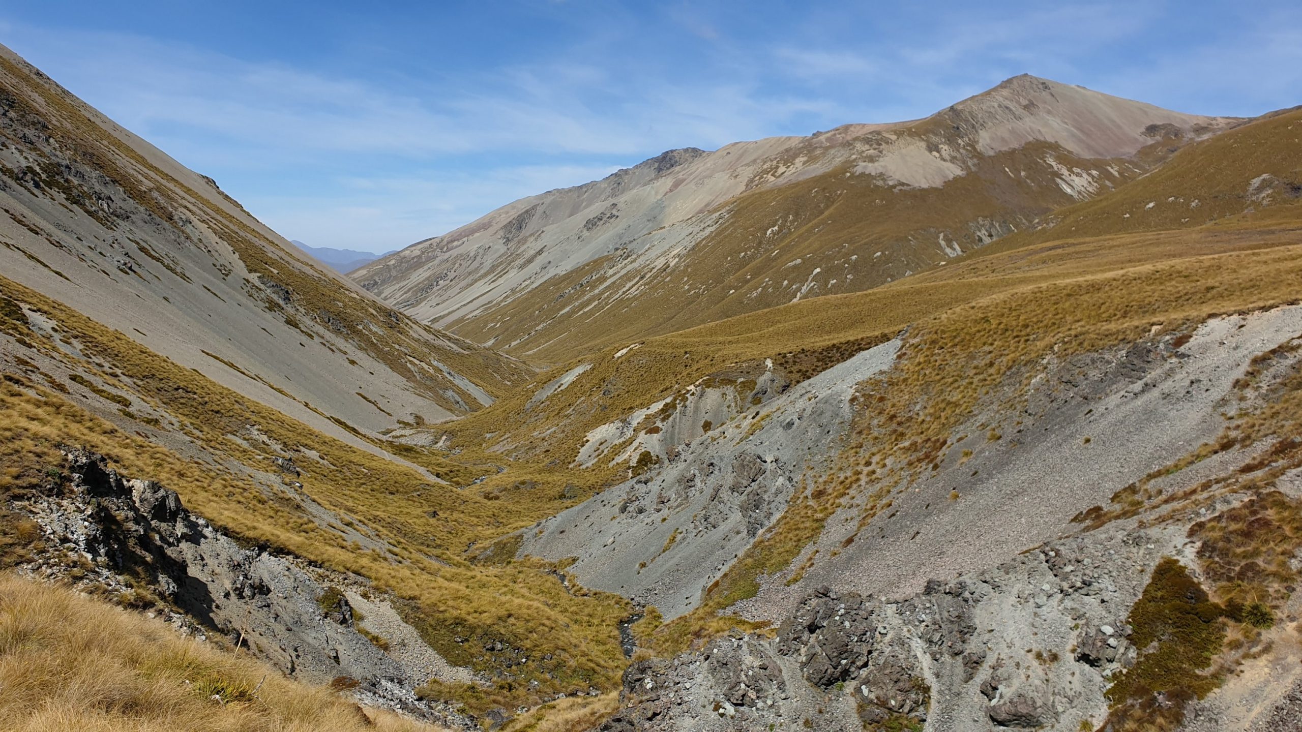
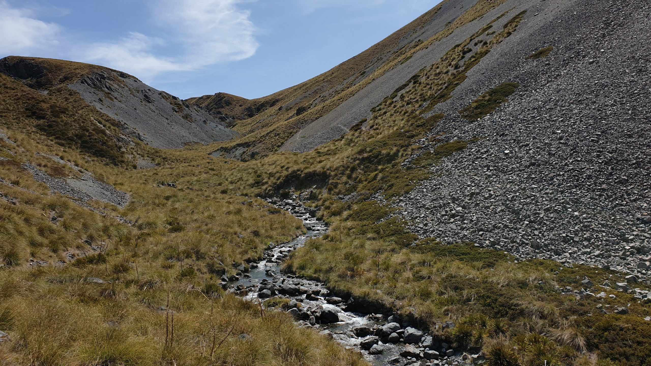
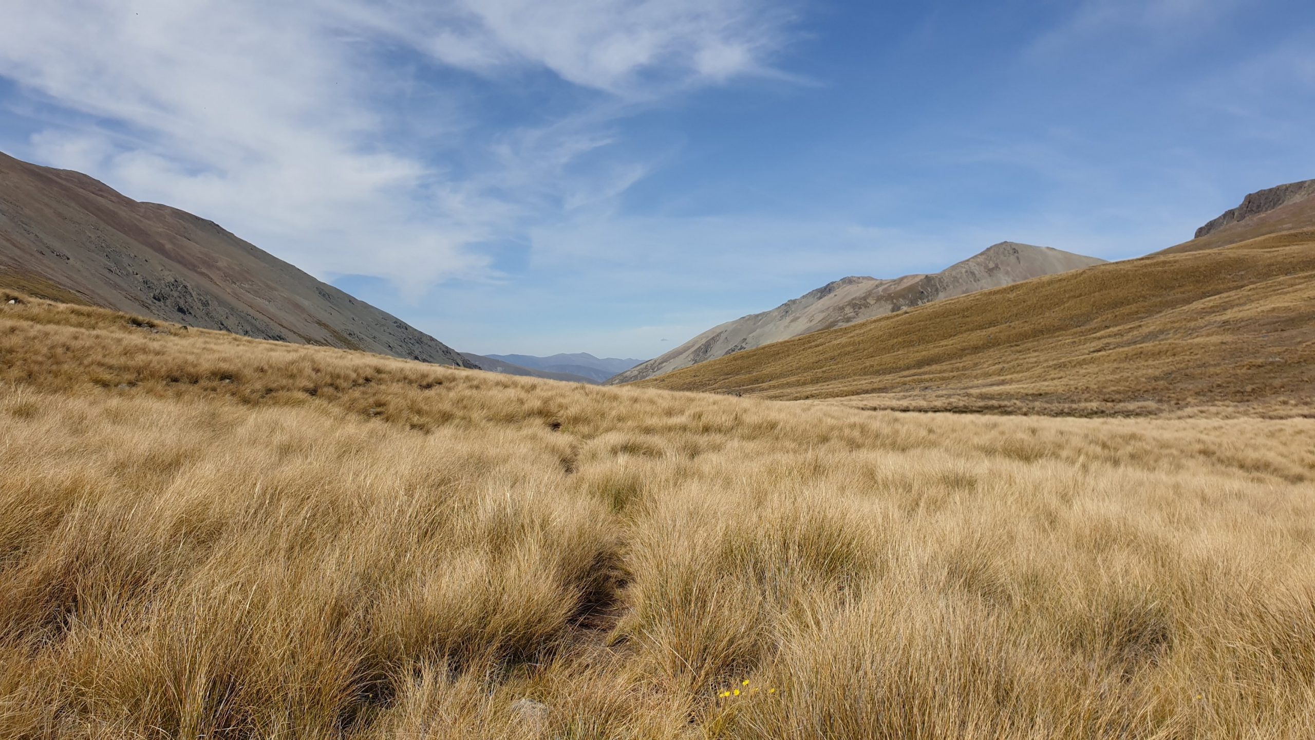
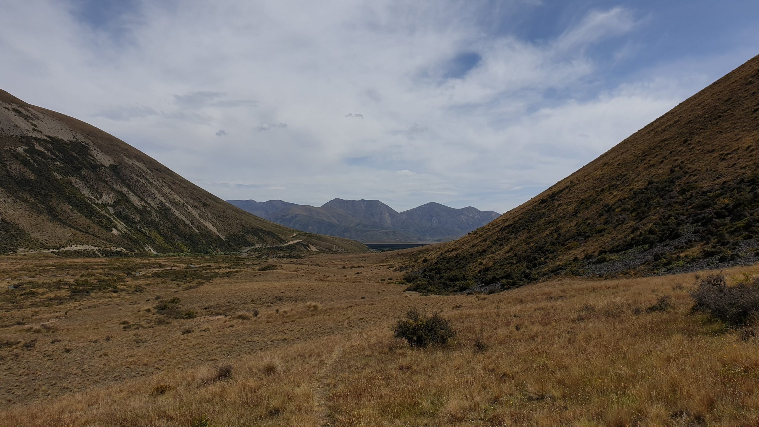
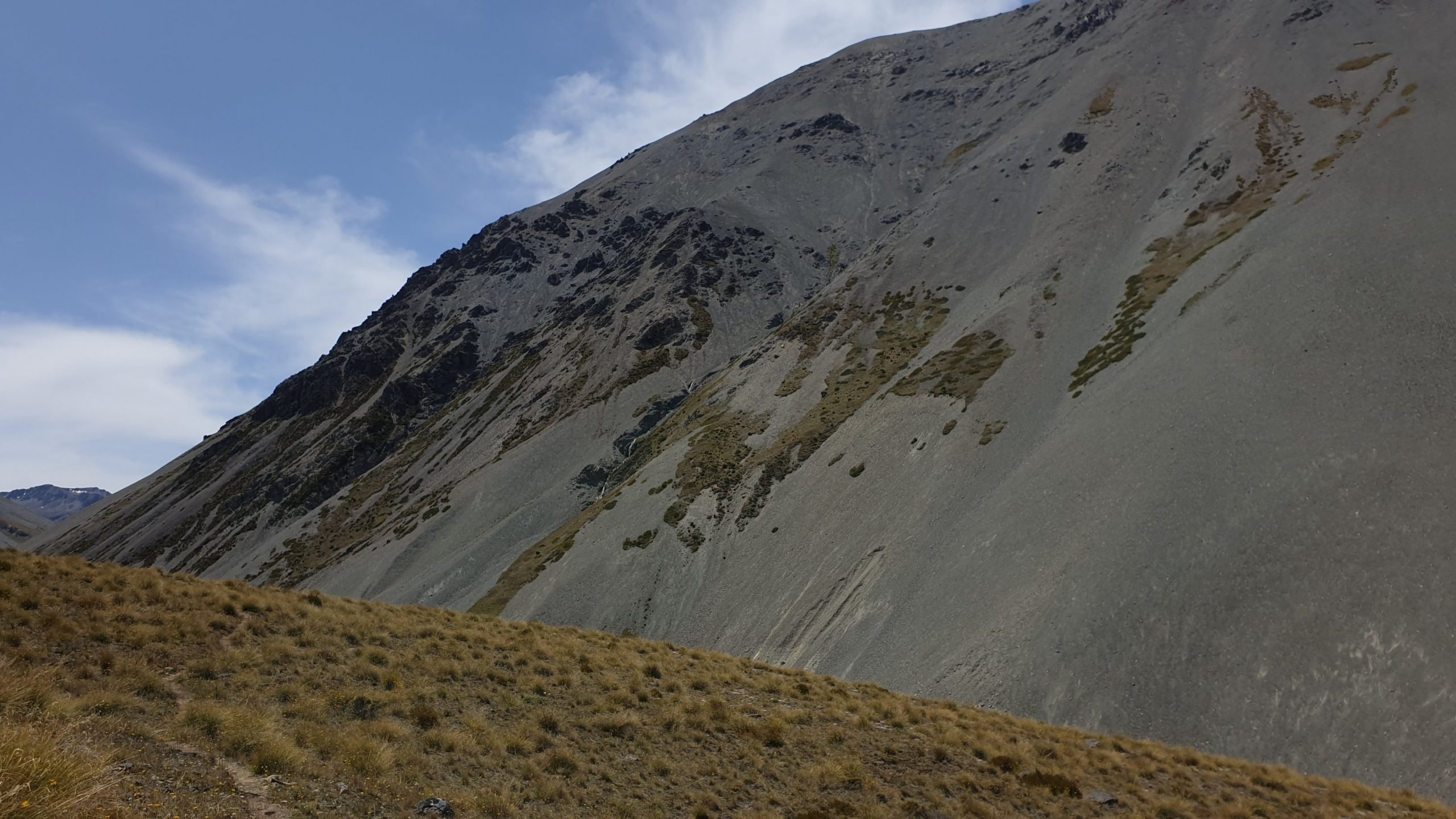
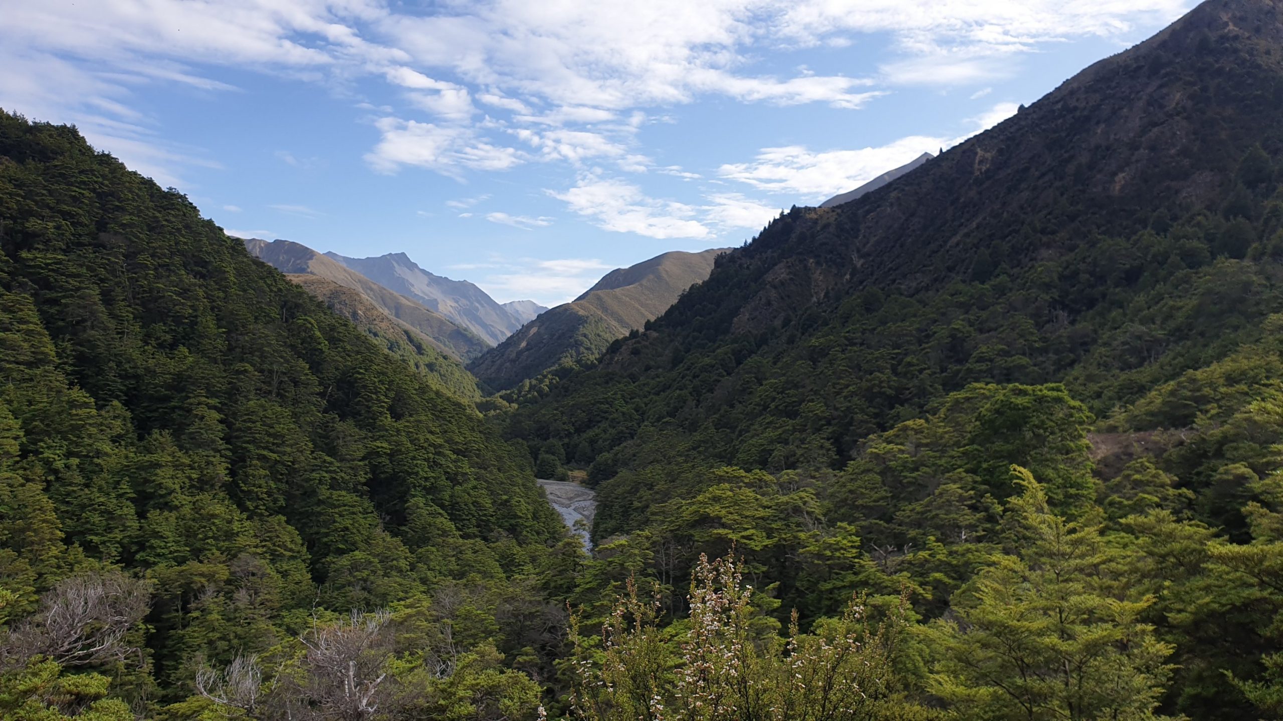
After heading up the valley a bit there was a great view down the valley where I had come from. Up the valley also looked stunning, though dry and tussock filled, there were many waterfalls and streams.
The track doesn’t have many pole markers and the path is thus often lost, then found after bashing through bush, swamps and across the East Ahuriri River. There was a tough descent into the valley and the walking surface, full of river pebbles wasn’t comfortable underfoot.
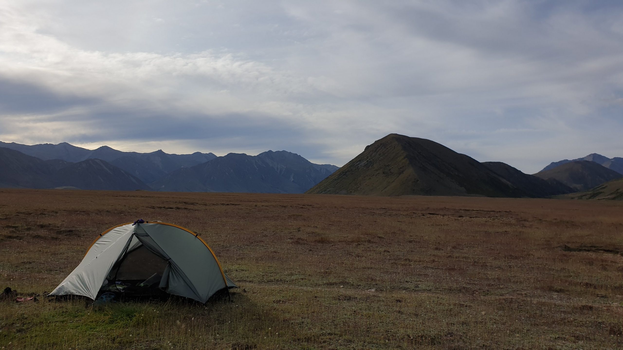
The ground got better in the last 5 kilometres or so , so progress was easier. After 5pm though I spotted a semi even, not rock filled place to pitch my tent , which I did. It was 1.5 km to the river crossing. I was pretty tired after 10.5 hours on my feet! I don’t know how people do 12??
Day 92
Km 14 approx
Cumulative Km 906
It was planned to be a pretty straight forward day , get up at normal time which is about 05h30, then hopefully catch up to some people who would probably camp before the river and cross the Ahuriri River together. It is the largest river crossing that we do on the trail and I have been waiting for this river level to drop. So I thought it would be all good.
I got to the river a little before 7am and met up with 2 French couples, one young and one older. They then started to tell me how they had watched numerous people cross yesterday evening and how much trouble they had doing it- very deep in many places and strong flows! I had a look for myself and yeah, it didn’t look great.
So I joined the French and we decided on doing the bypass- which is stated in the trail notes as approx 5km down the river , to Ireland Bridge, cross there then 5 km up dirt road to get to the parking lot where the next trail starts.
Sounds easy enough, though I wasn’t impressed with 10km extra, though- Safety First! Feet and legs later!
The going through the river bed was not pleasant due to the river pebbles and large rocks. Then we got to a high cliff with the same uncross-able river undercutting it. The French wanted to cross at the base of the cliff but there was pretty much no room and you would end up literally in deep, fast water if you slipped!
The other option was to climb up the cliff, a few hundred meters earlier , where it wasn’t 90 degrees and follow the river from above, where there was a pine forest.
A steep climb got us there and by climbing over a fence or two, my topographical maps on my phone and making many plans we eventually got to the bridge at 10h00. It was another 2 or so hours walk to the car park .
I had had enough and there was no way that I would make it to the hut today- 23km away. So I called it a day, set up camp early, did washing or rinsing and had a wash myself.
I then lay under shrubs during the afternoon to keep out of the hot sun!!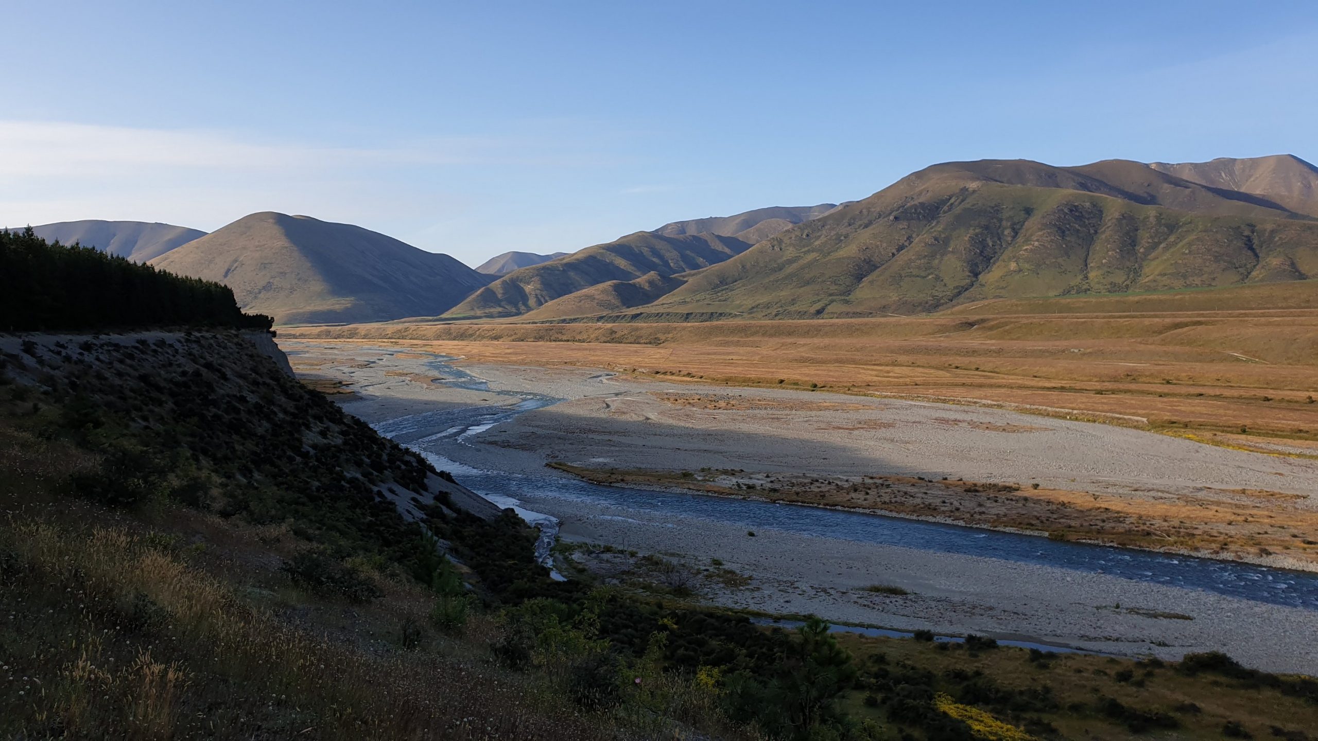
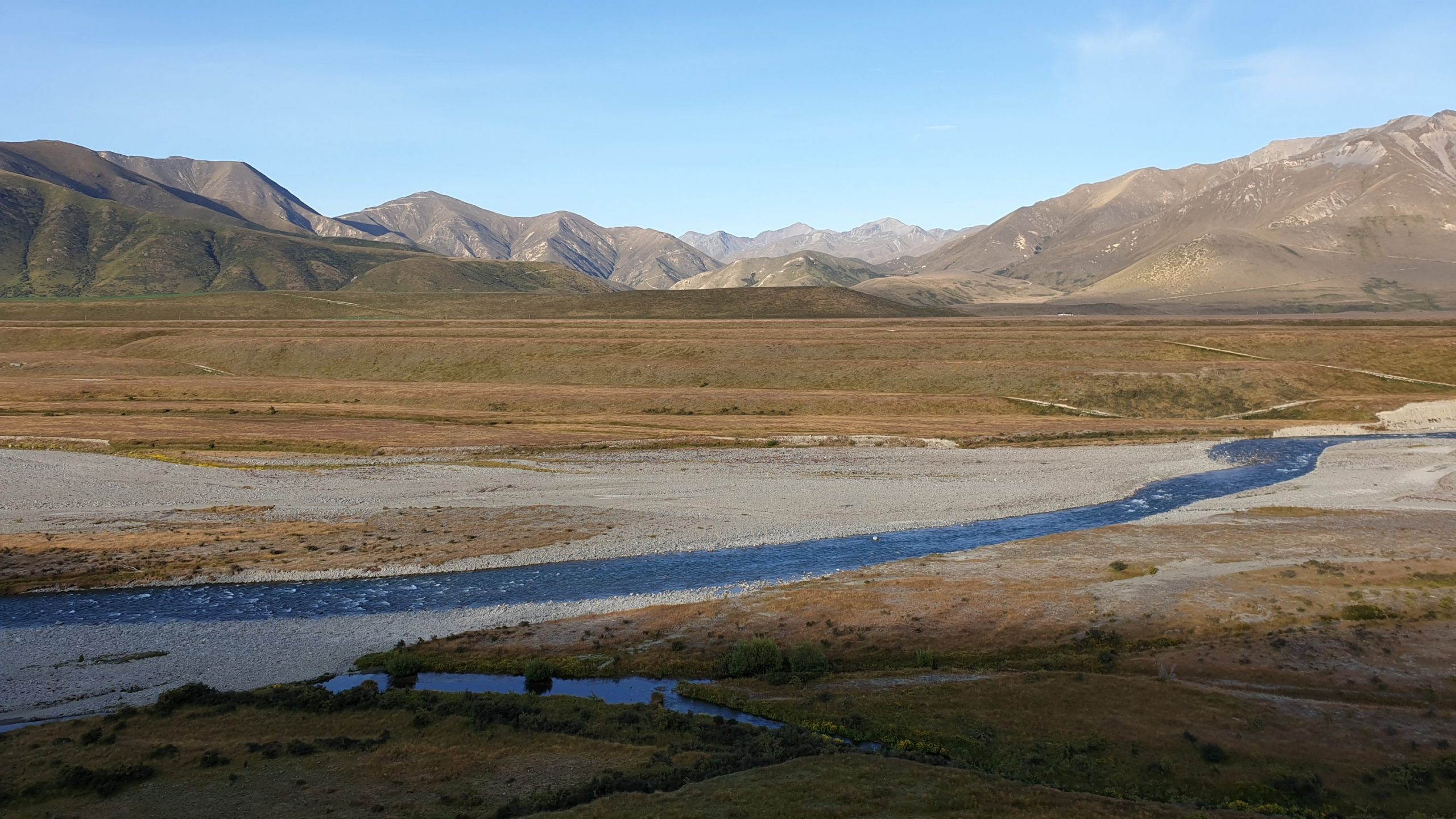
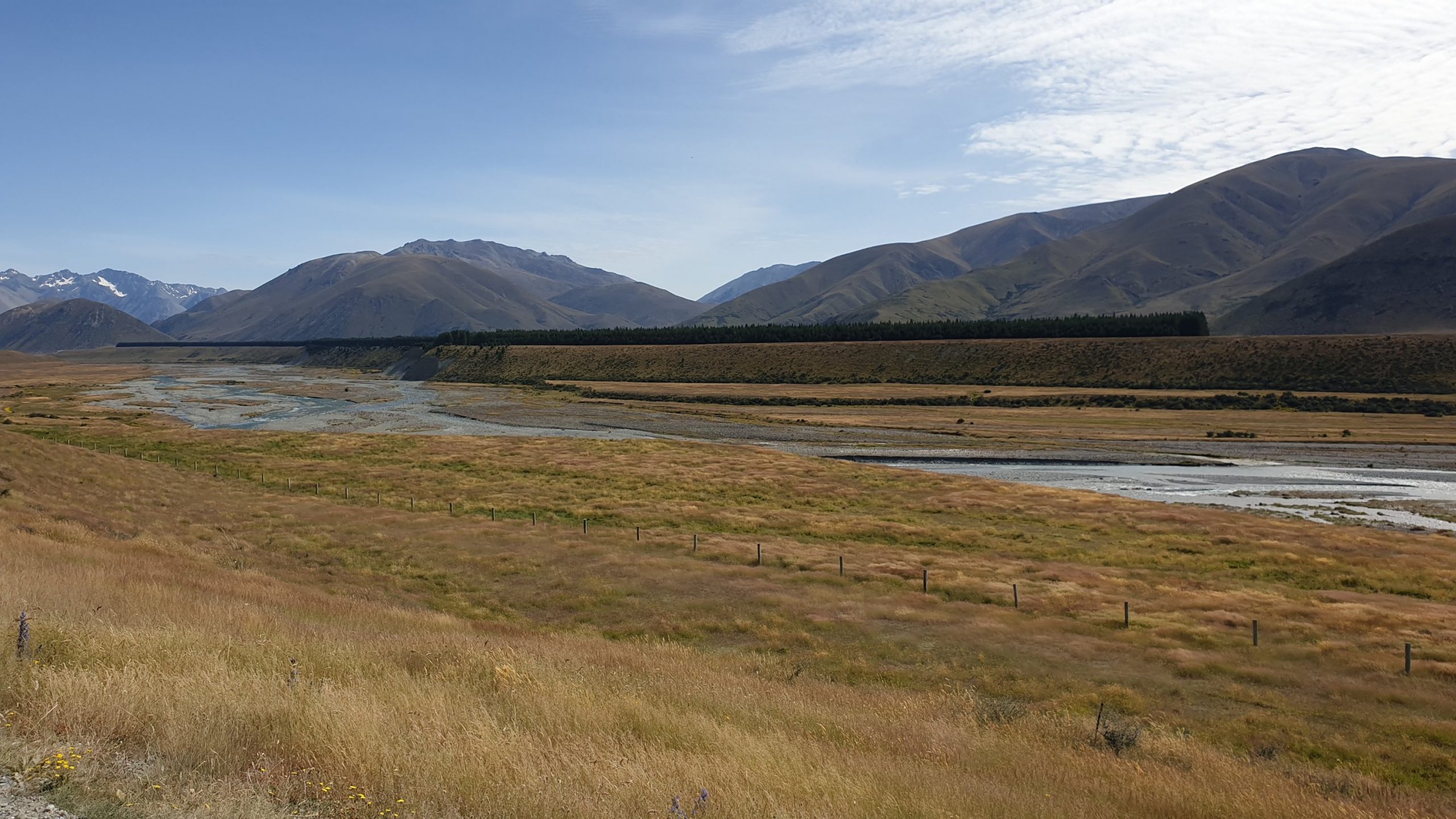
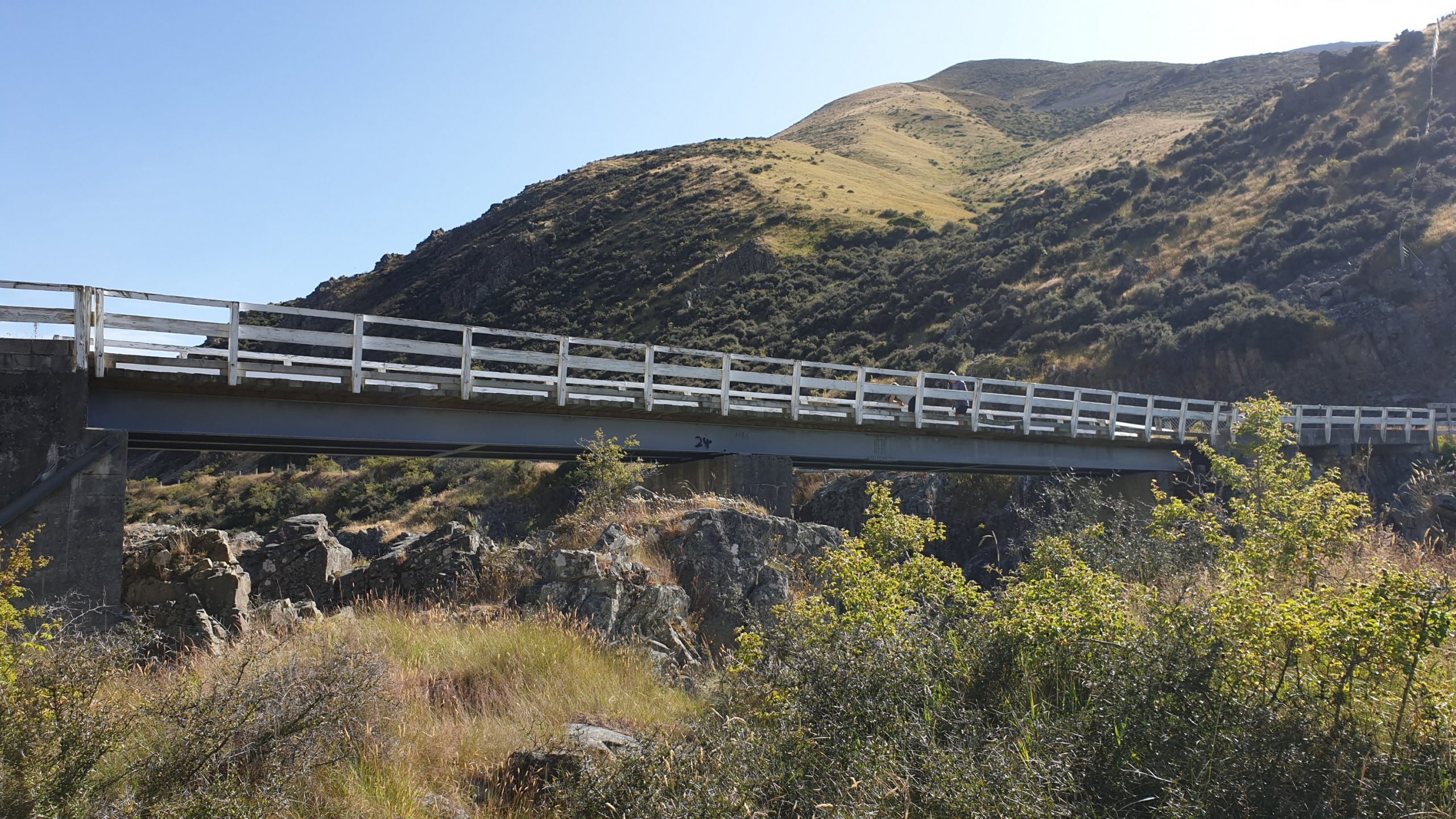
Day 93
Km 21.5
Cumulative Km 927.5
I camped with a full day section ahead of me and headed out early as I seem to be doing. The going wasn’t bad, though uphill it was on a 4WD track. About 3 hours later I got into the private hut, where I was surprised to see the 2 Germans- Matthew and Norman- that walked passed my tent the day before. They were in the hut after 9am still!! We caught up and I saw them late at the next hut.
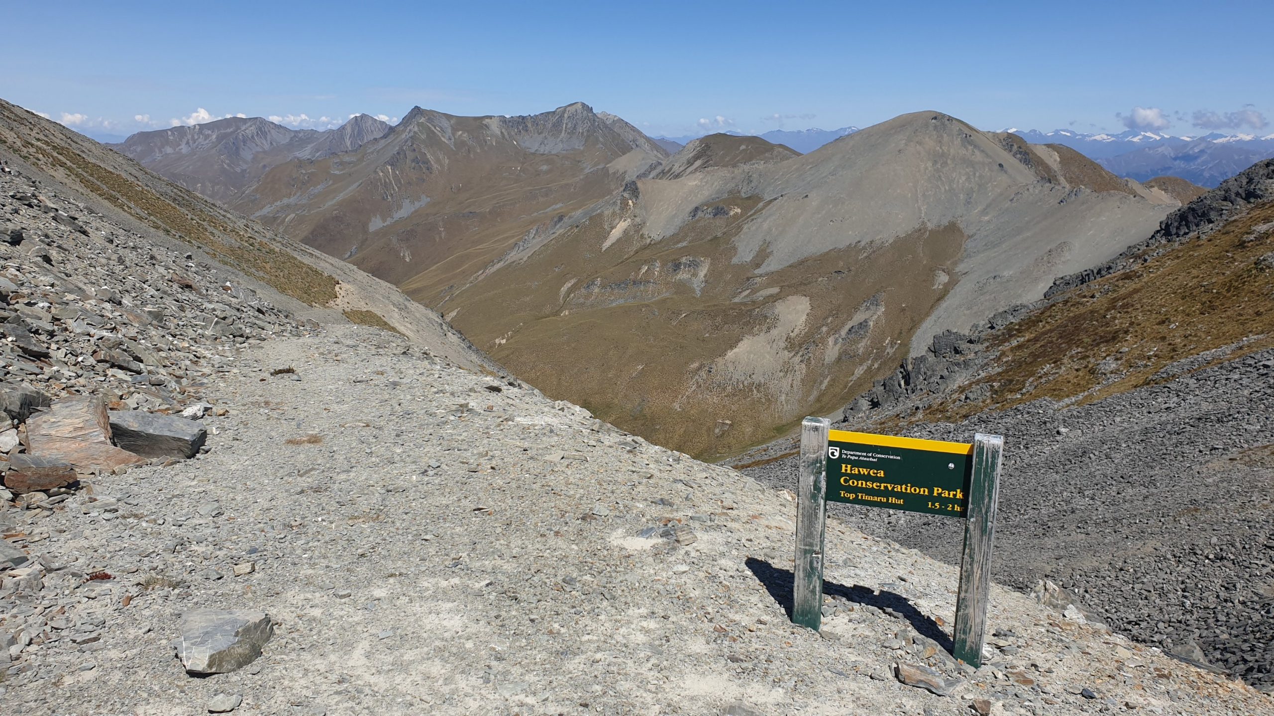
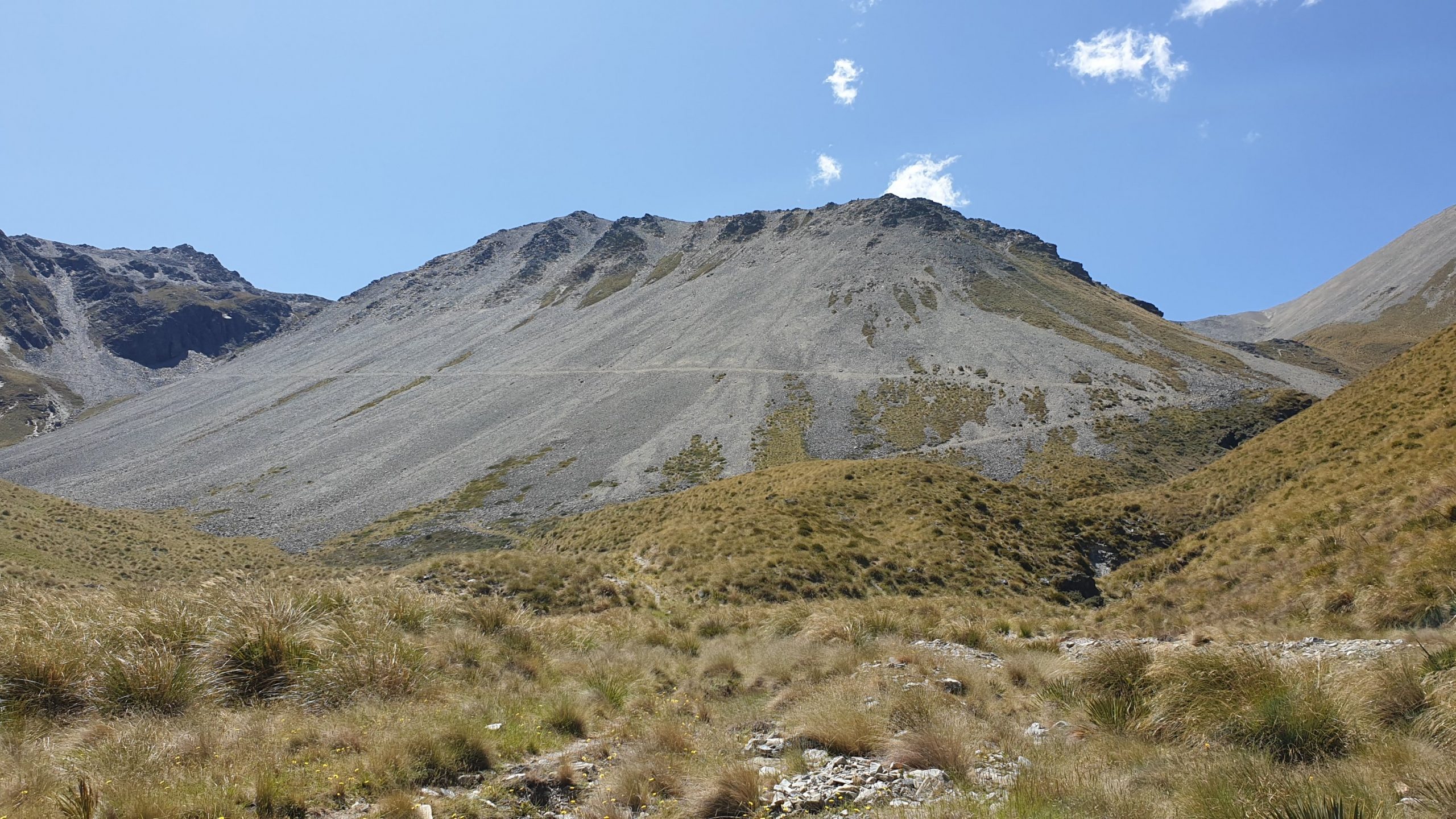
The highlight and most difficult part of the day was getting up to Martha’s Saddle. It is at an elevation of 1687m. I definitely felt the altitude as I made painful slow progress up the rocky mountain. I also got a groin strain of some sort in the last 2 days which meant that I didn’t have full range of motion in my left leg. Yes, it is the leg with the Achilles injury too!!
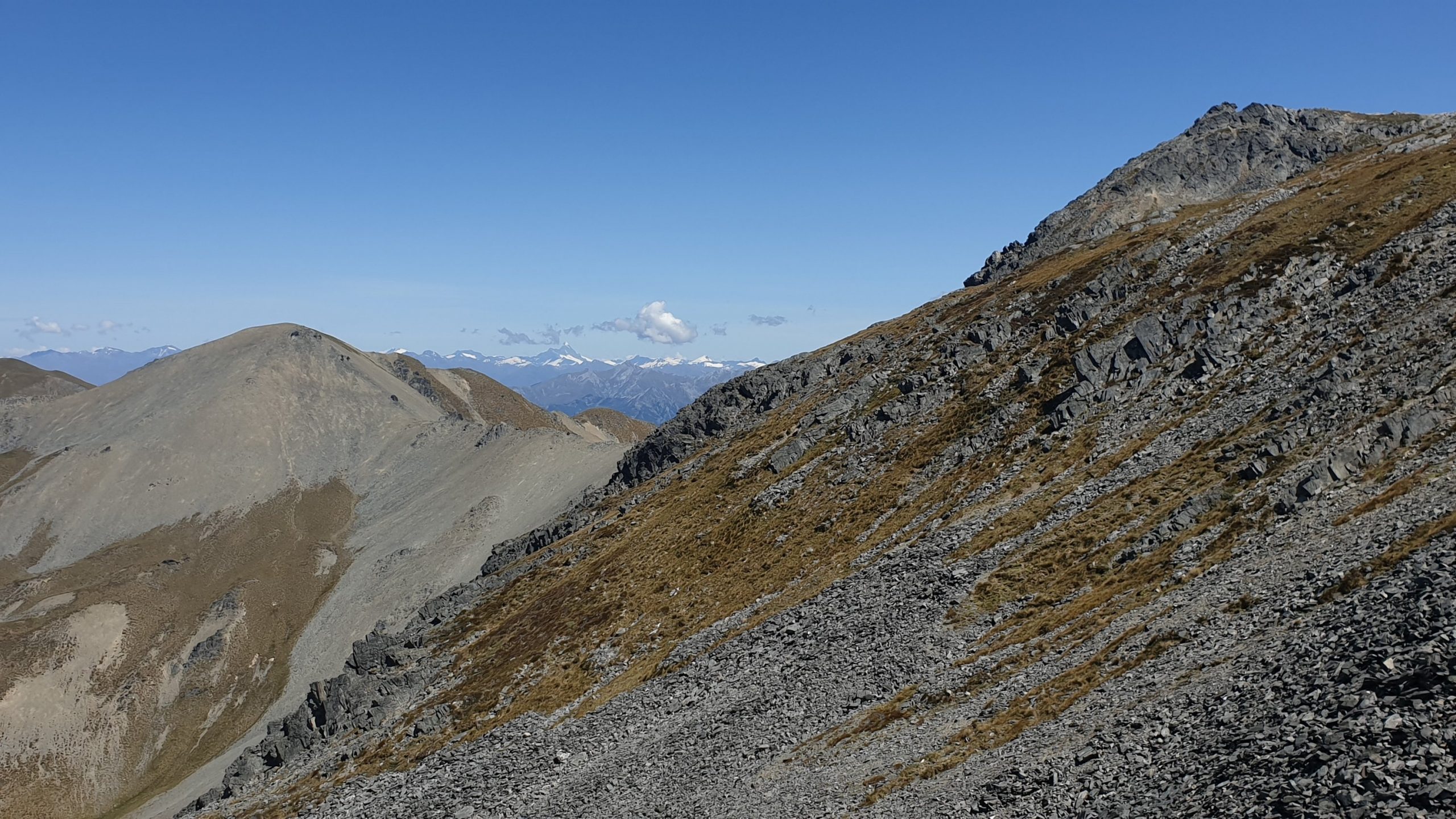
The view from the top was incredible though, you could even see Mount Aspiring in the distance.
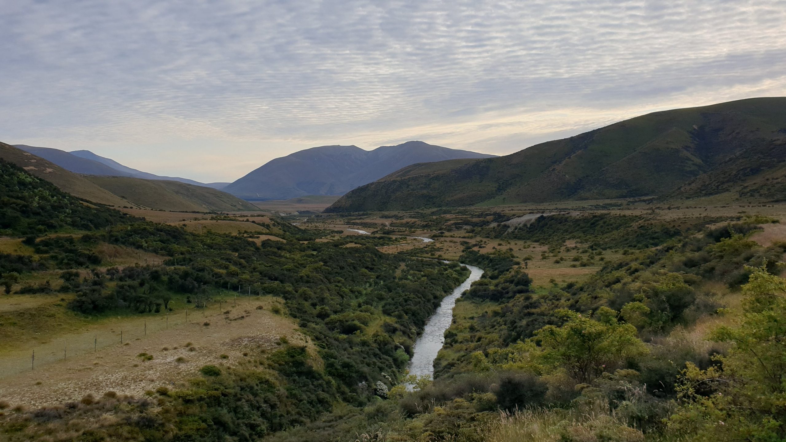
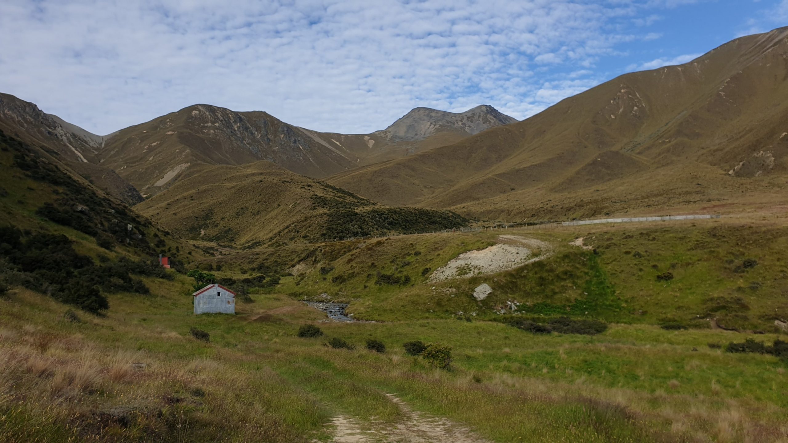
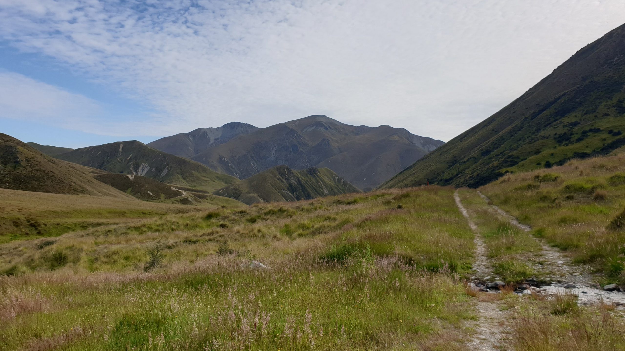
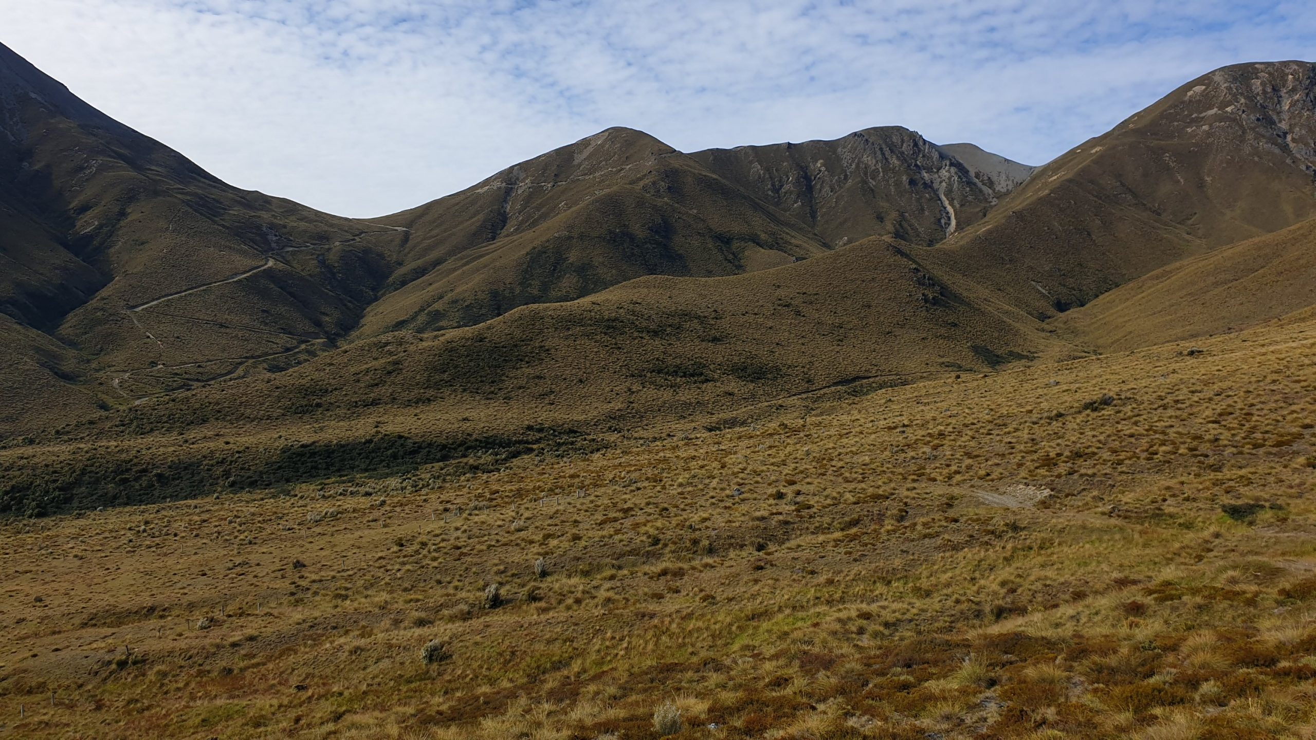
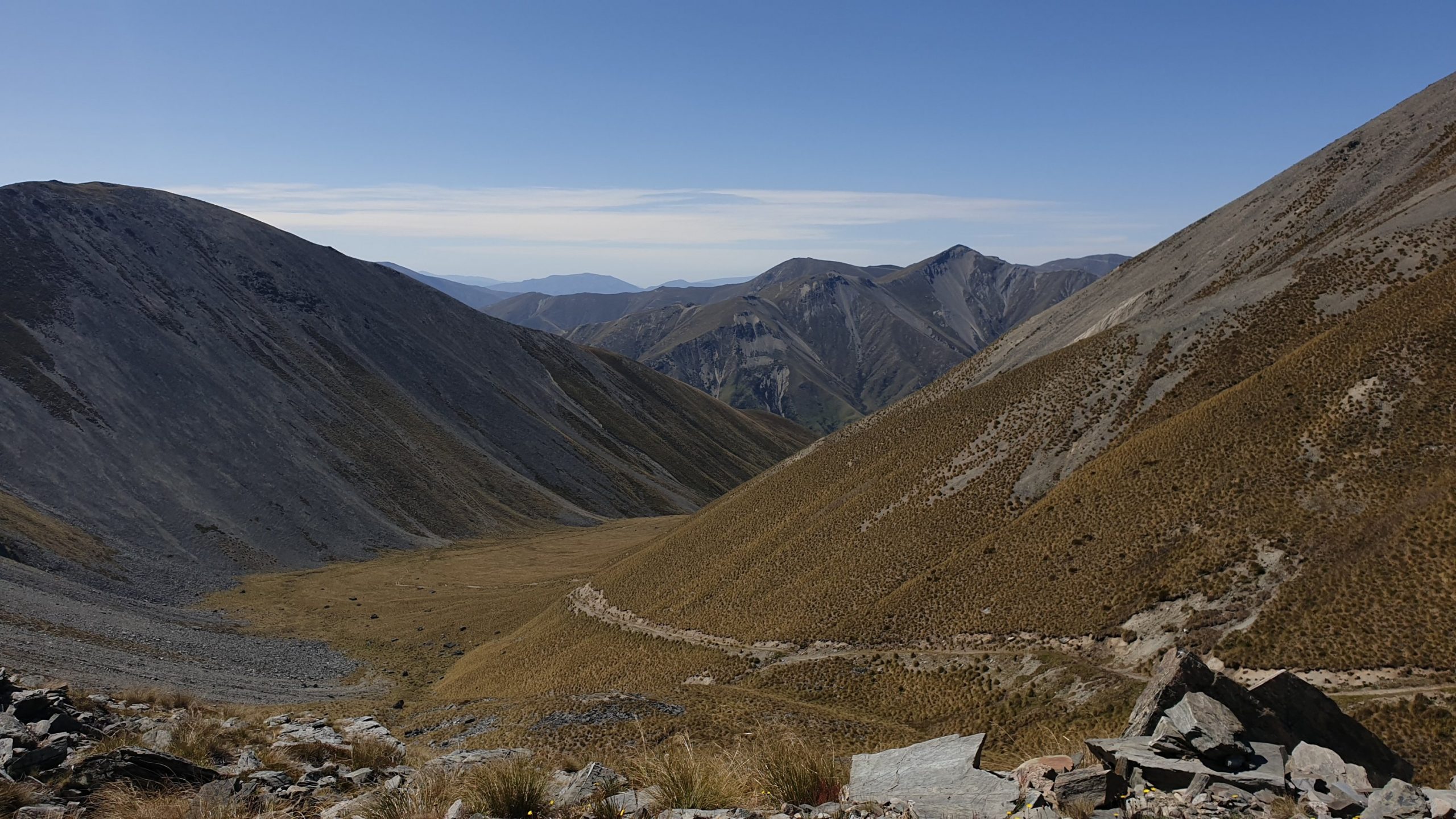
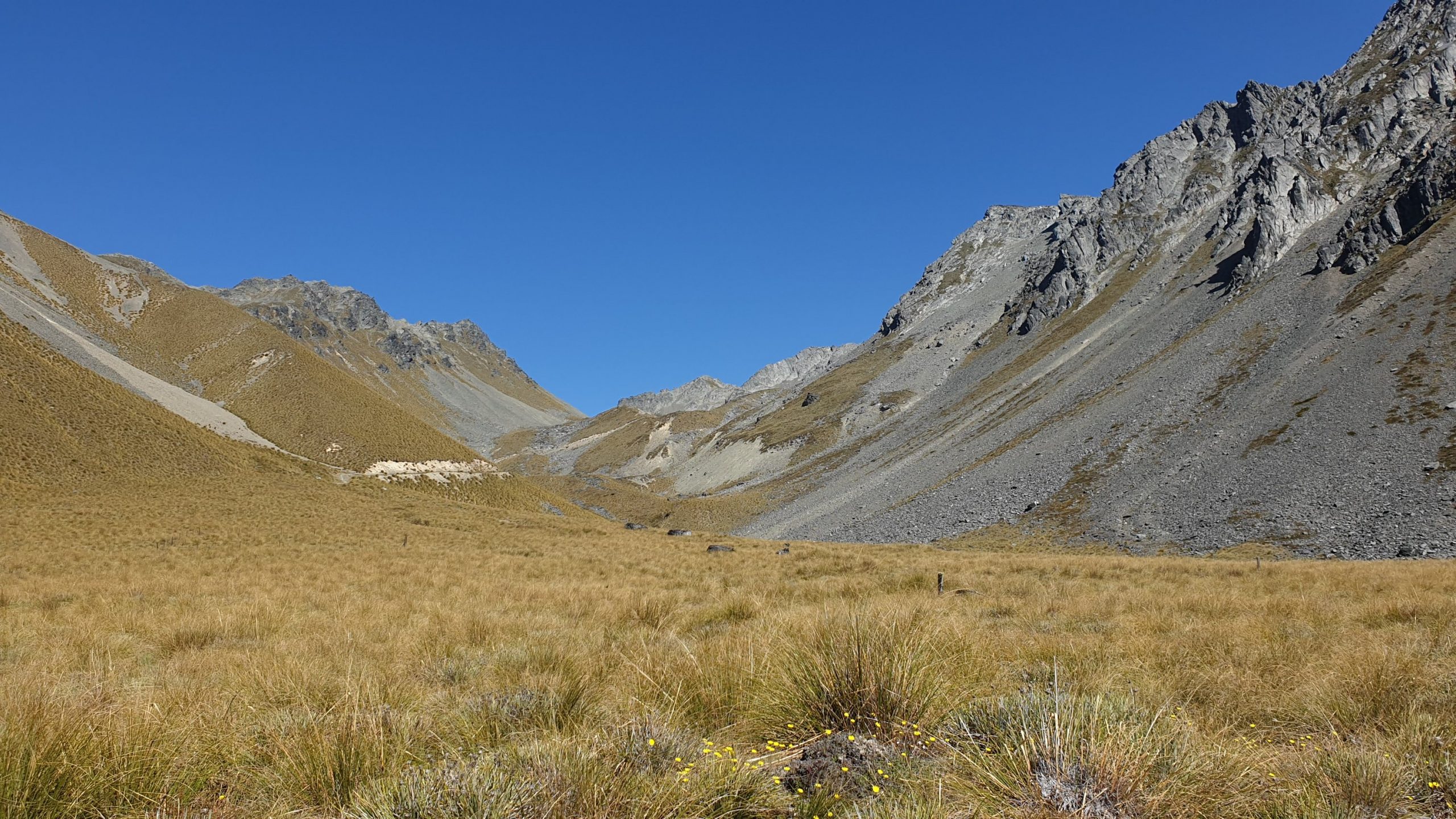
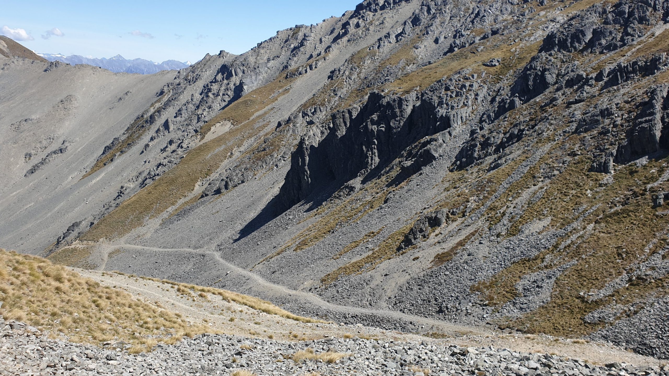
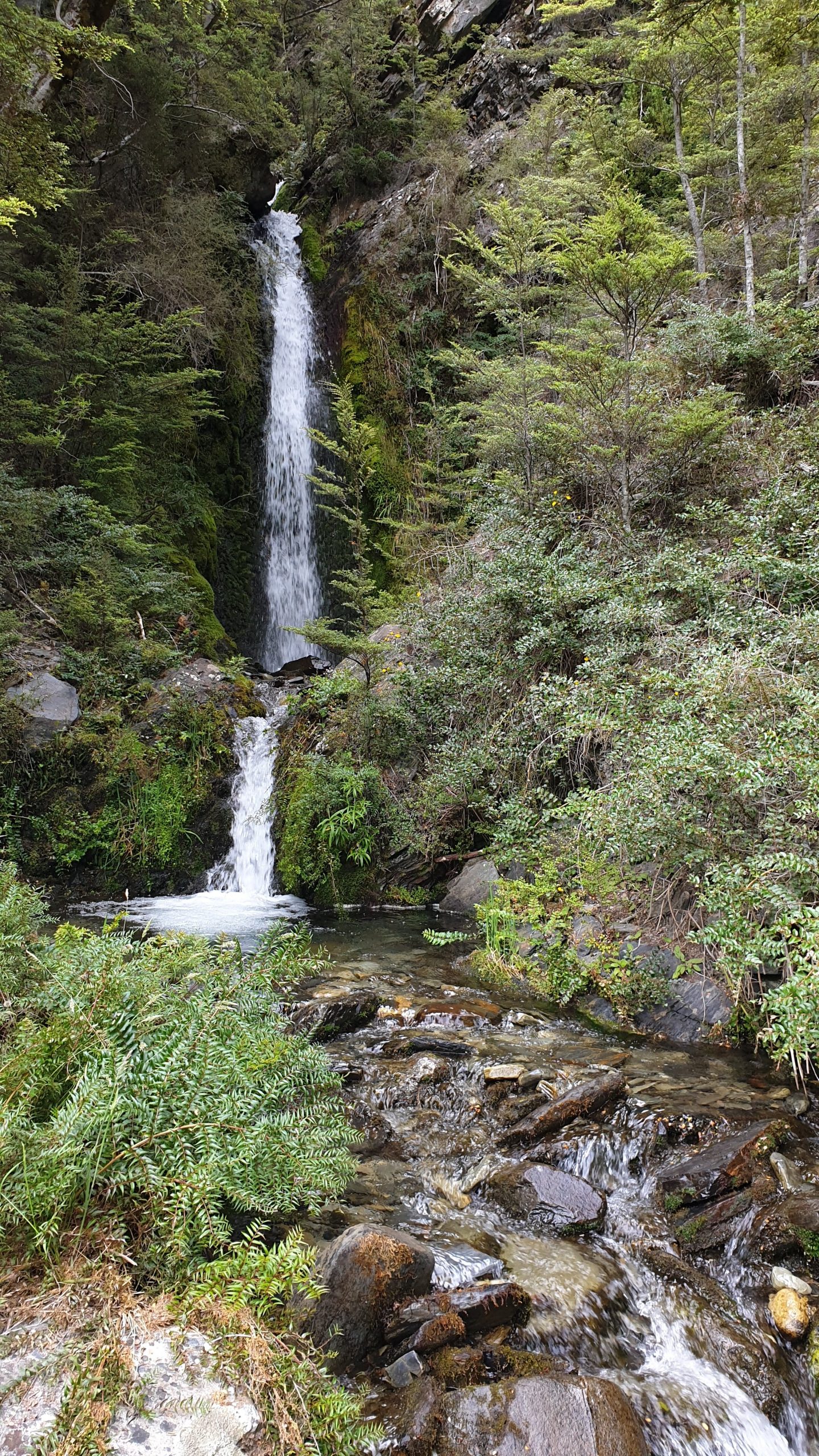
The way down took me 3 hours to the hut, an hour over the recommended time. It was a long way down as you can see from the photos! The valley was also interesting with a cascade waterfall that was impressive. The sides of the valley were also impressive.
I was so happy to get into the hut , dump my bag and go for a swim in the river as it was so hot and the last few days there has been zero shade! The swim was great, went fully clothed to get the clothes washed too! But the damn sandflies were eating me alive so I went up to dry.
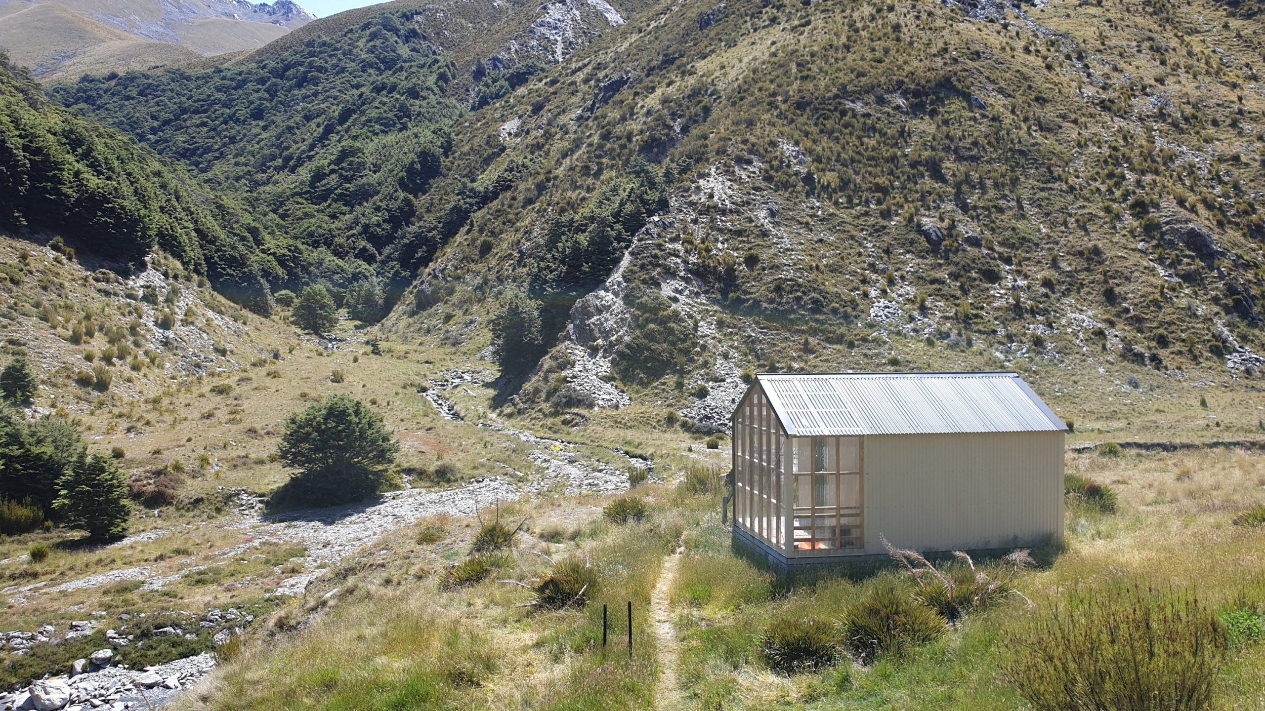
The hut- Top Timaru – is nice and new but had no ventilation which made for a stinking hot night , with no sleep 😬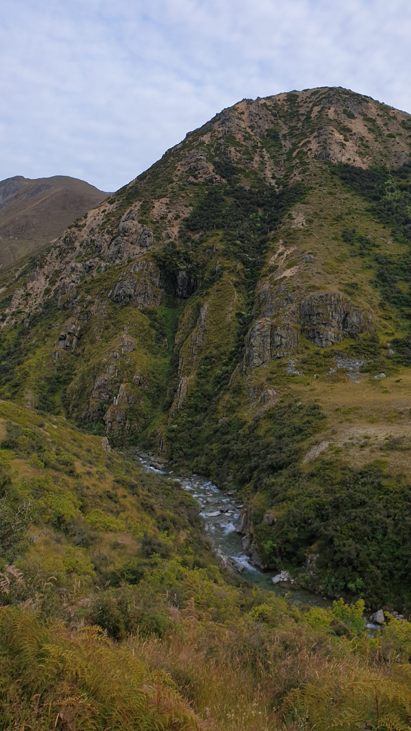
Day 93
Km 13.5
Cumulative Km 941
I knew that the short distance with a recommend time of 7-8 hours meant that it was going to be a tough day!
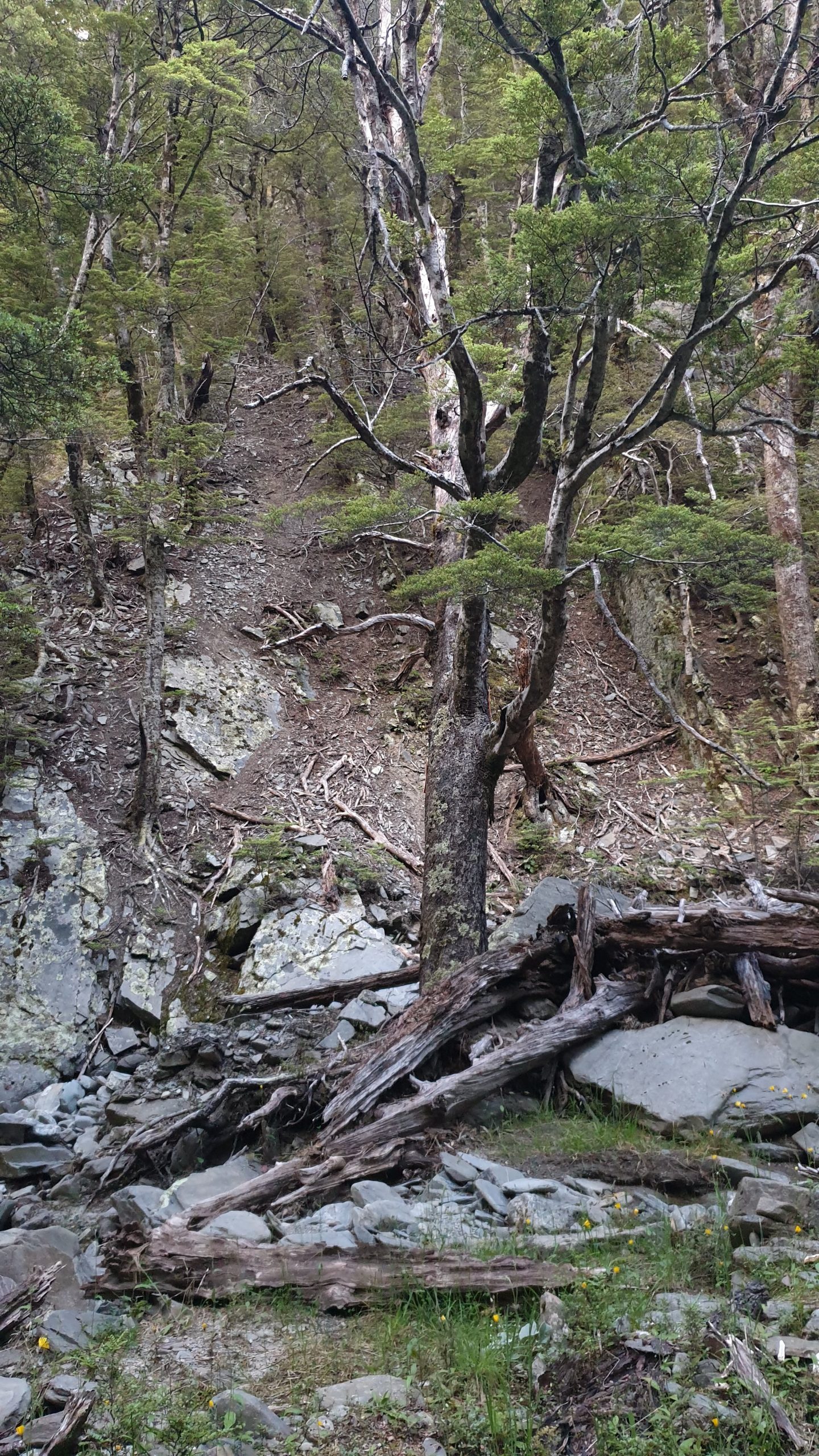
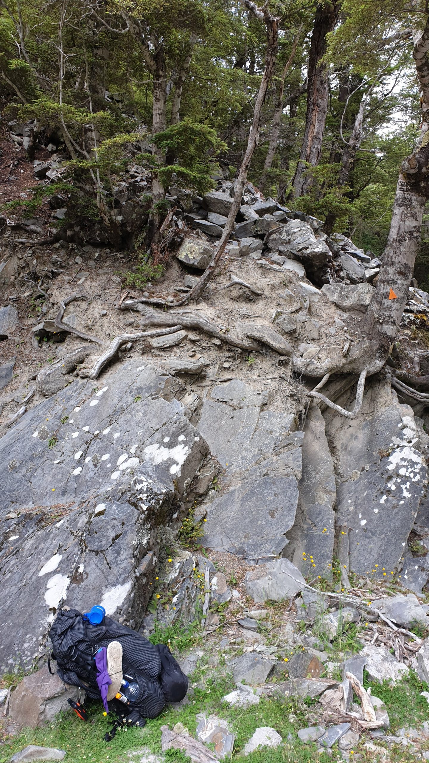
Progress was pretty much 2km an hour. The trail was along the river and crossing it many times. The valley was steep though and many landslides had occurred, which we had to bypass. The trail thus went up and down and tiny paths hugged the steep slopes! Some portions were real scary!
My strained groin was taking a beating in crossing over so many big fallen trees.
The finale of the day- after 6 hours of tough walking through the forest- was a 500m ascent! It was very tough and steep , slippery going. It took me just over 2.5hours and multiple organ failure several times!!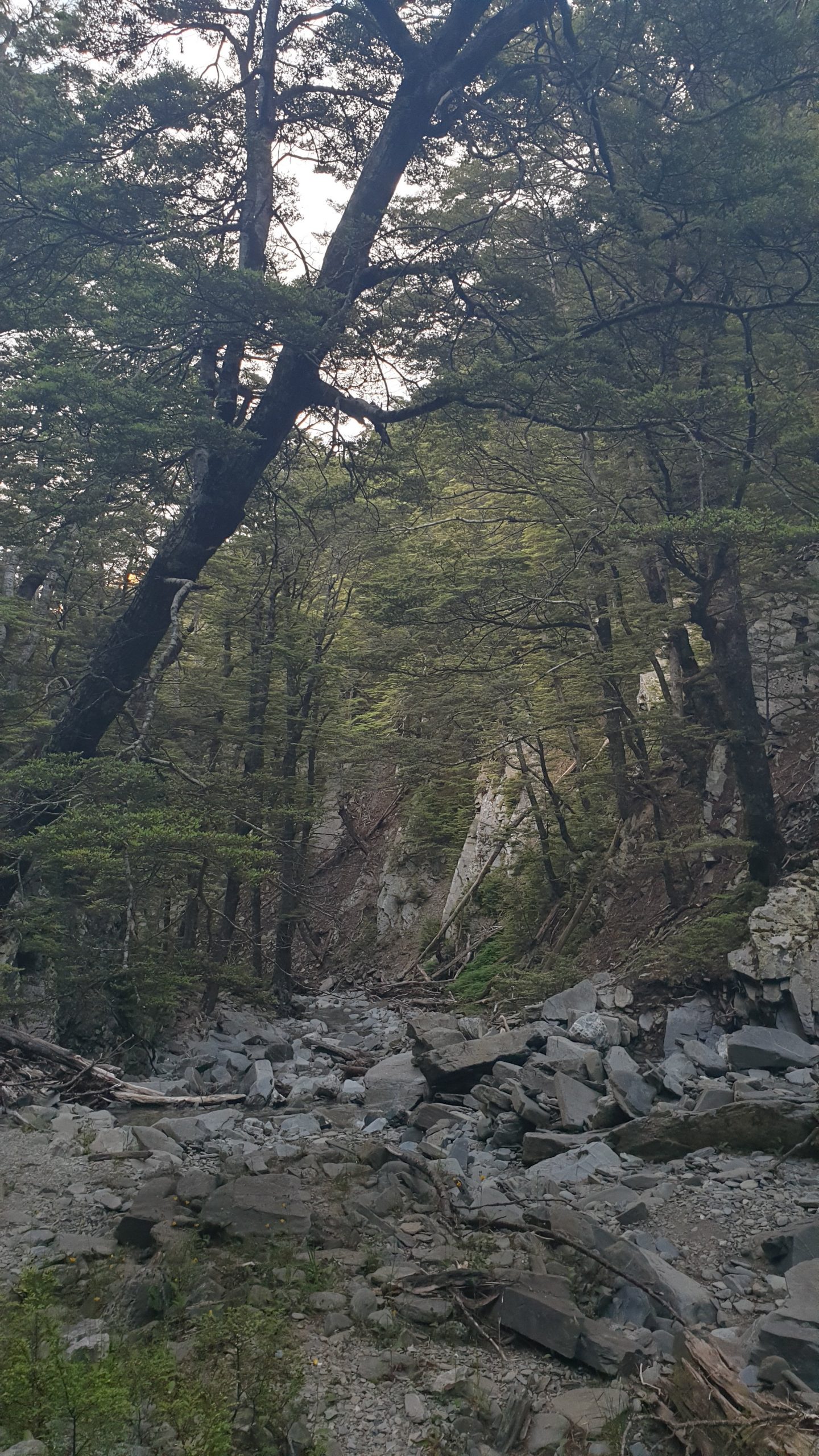
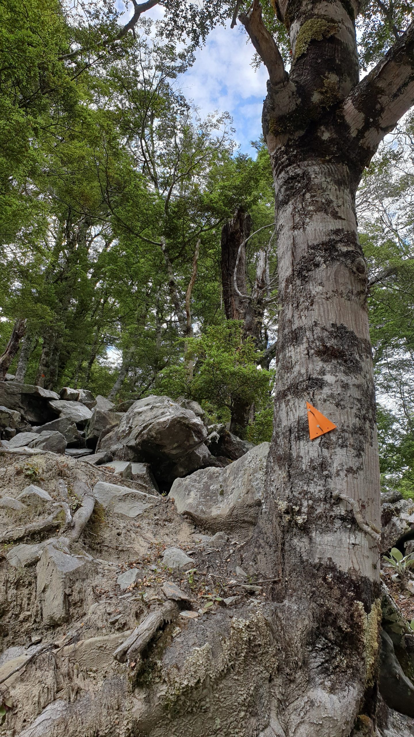
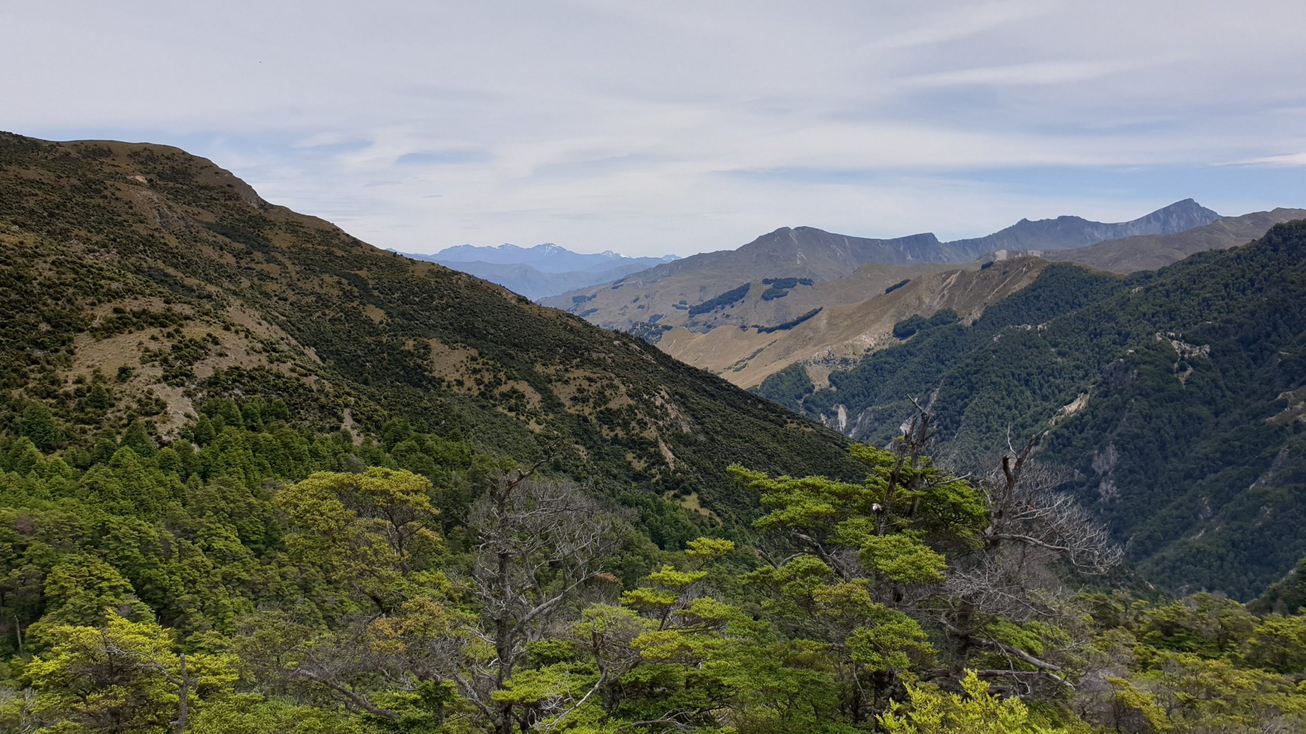
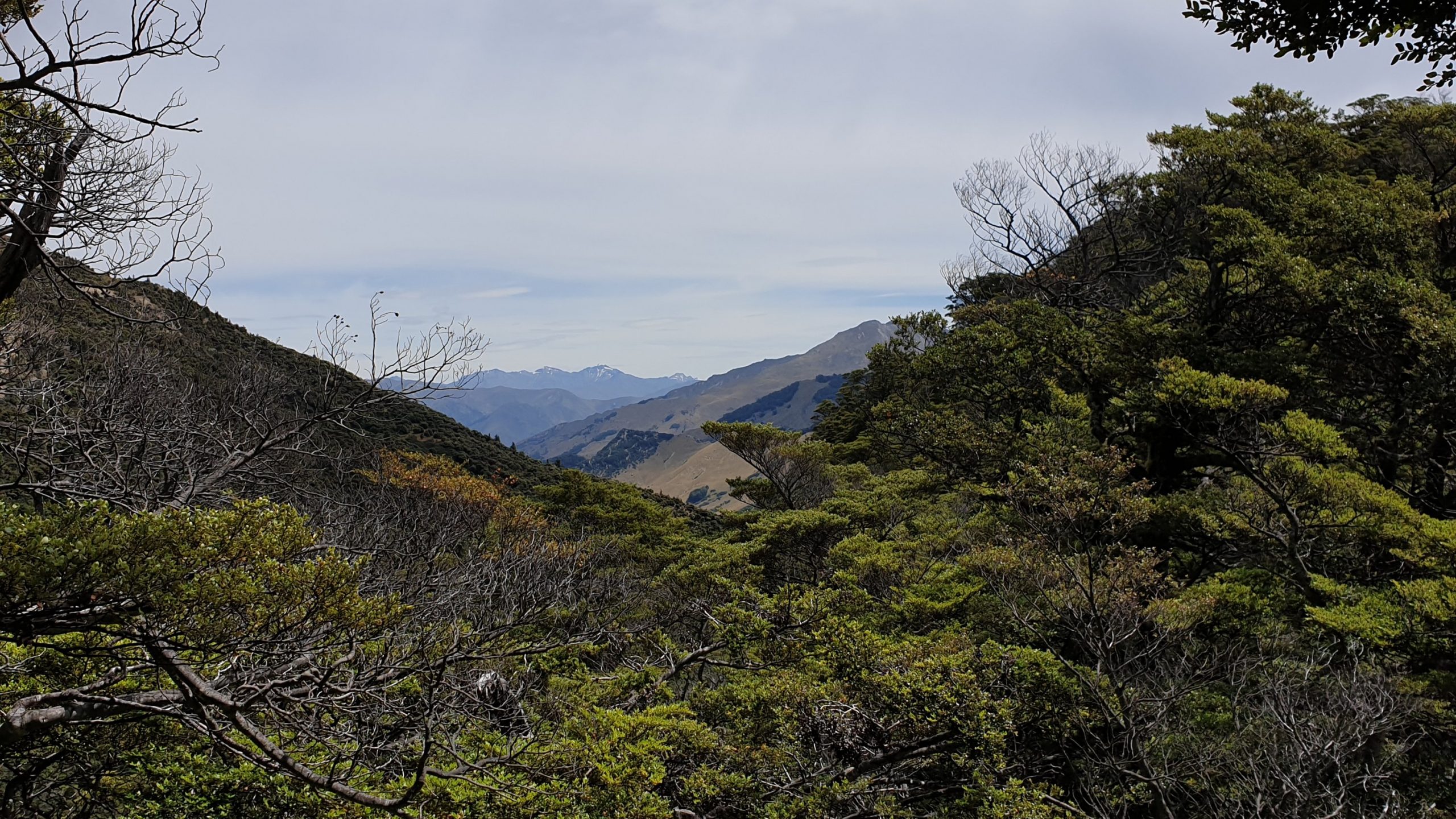
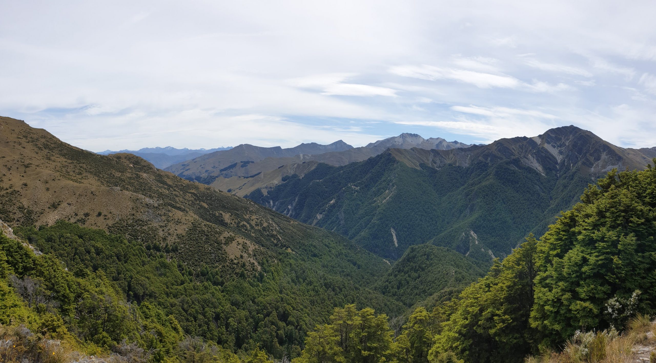
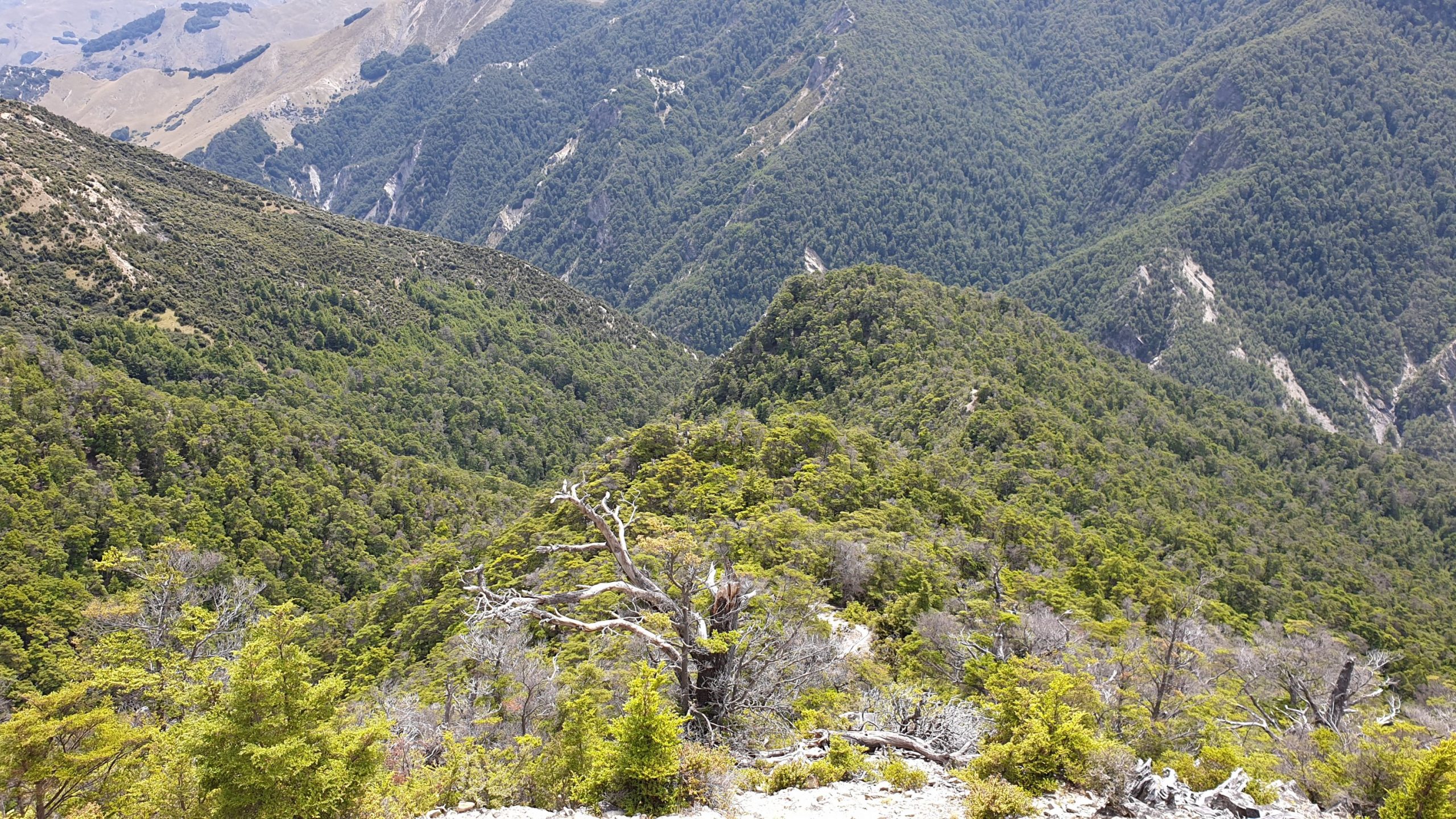
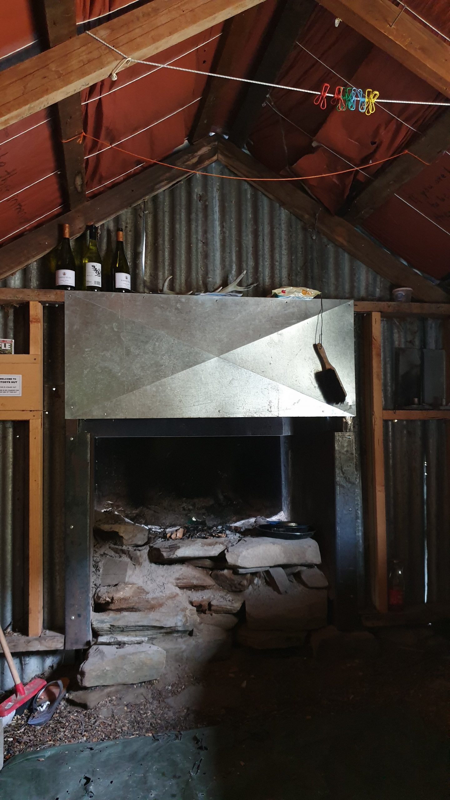
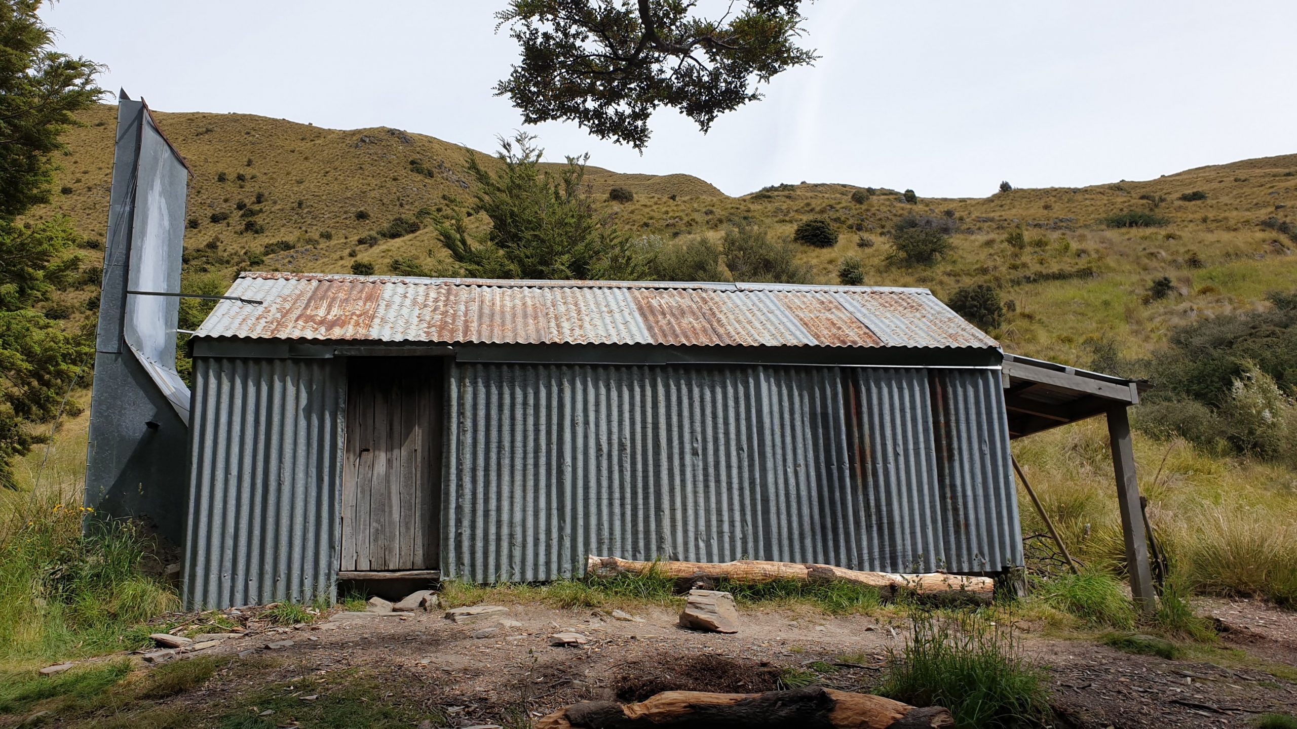
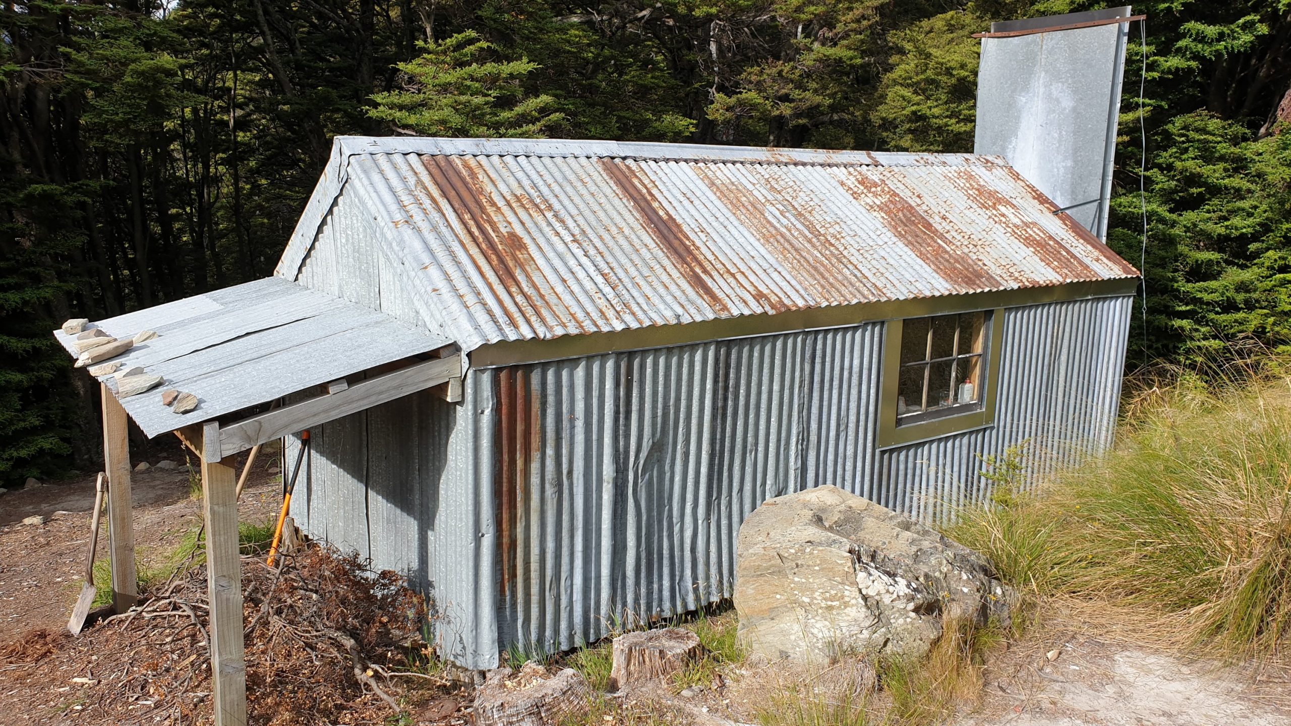
Day 95
Km 18
Cumulative Km 959
The night in Stodys rustic hut wasn’t bad, despite the reports of mice. It cooled down in the evening, so much better sleeping conditions than the last hut. It was going to be another tough day of descent later in the day but I had noted an alternative 4WD track that could be used to get to Lake Hawea, so I decided to try that option later in the day.
The trail from the hut to the top of Breast Hill is all 4WD, so it’s not difficult. It does climb for a while then insulates until the last climb to the top of Breast Hill. The views were amazing though! Alps for Africa , so to say 🙂. It was also a little overcast and windy , which made walking a bit more pleasant than the previous hot days.
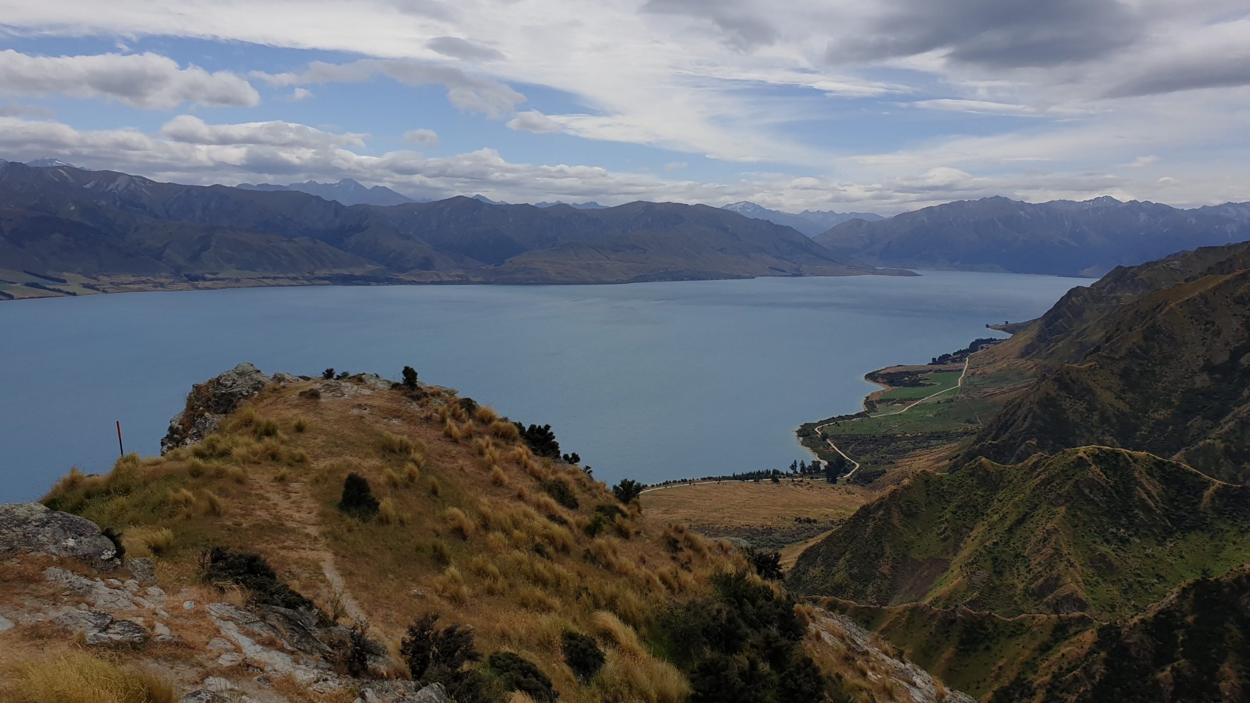
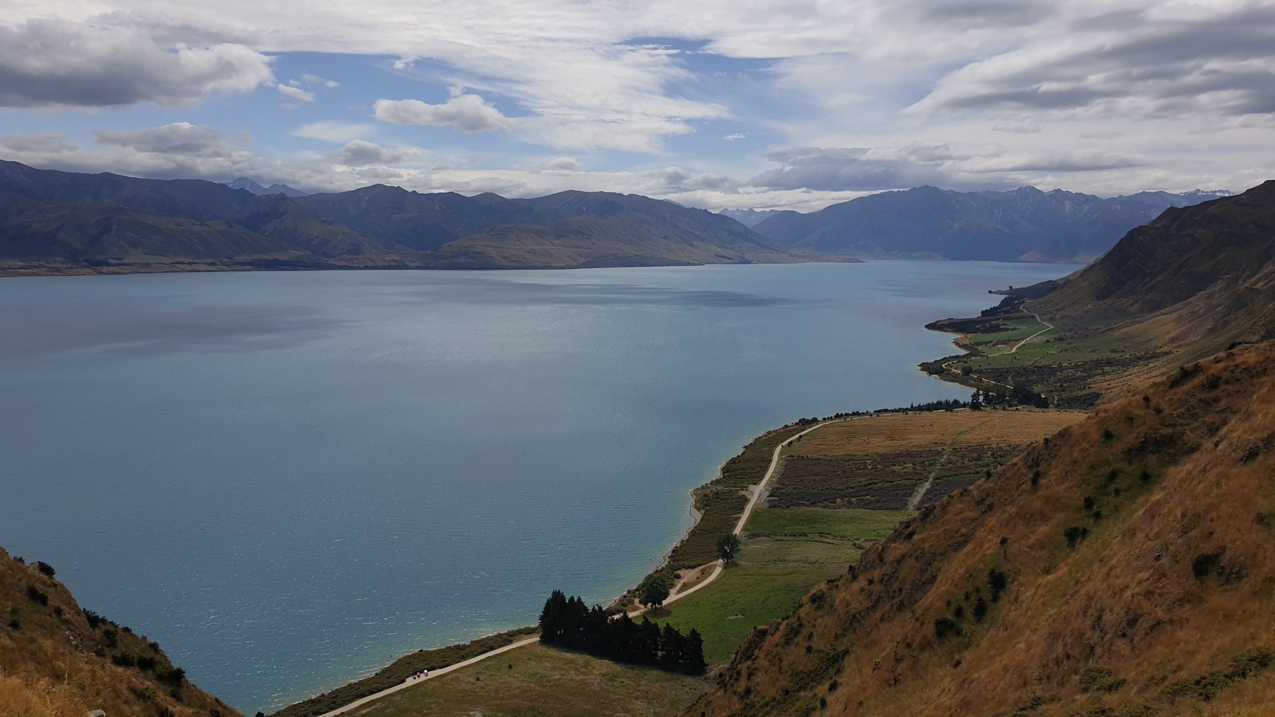
The view of the lake and Hawea flats was stunning from the hill too! The walk down to Pakituhi Hut was along the ridgeline, but most of the time not too close to the edge. The hut is a modern, 8 bunk hut which was good to have lunch in and a little rest as well as water refill. I set off before 1pm to make my way to the 4WD track. After some 20min I got to a locked gate with signage that its private property and no access is permitted. With disappointment in my heart and pain in my groin I knew that I would have to go back and do the hard core trail down.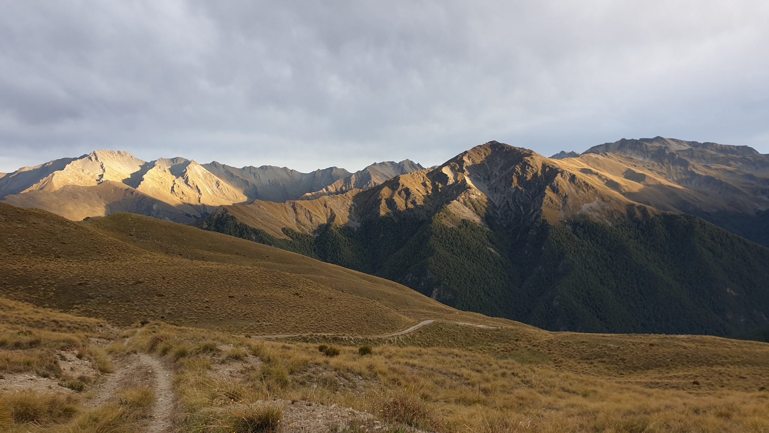
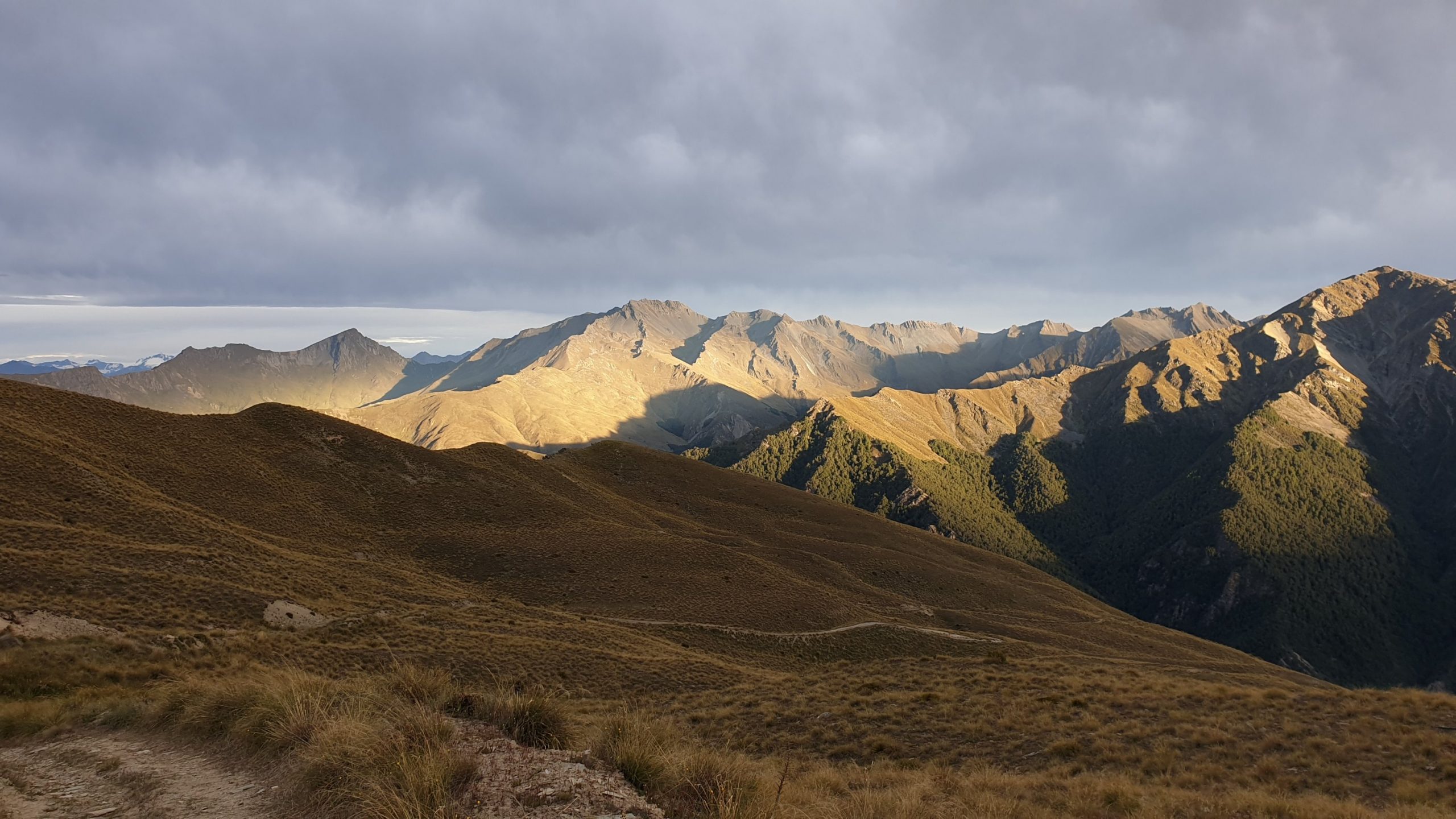
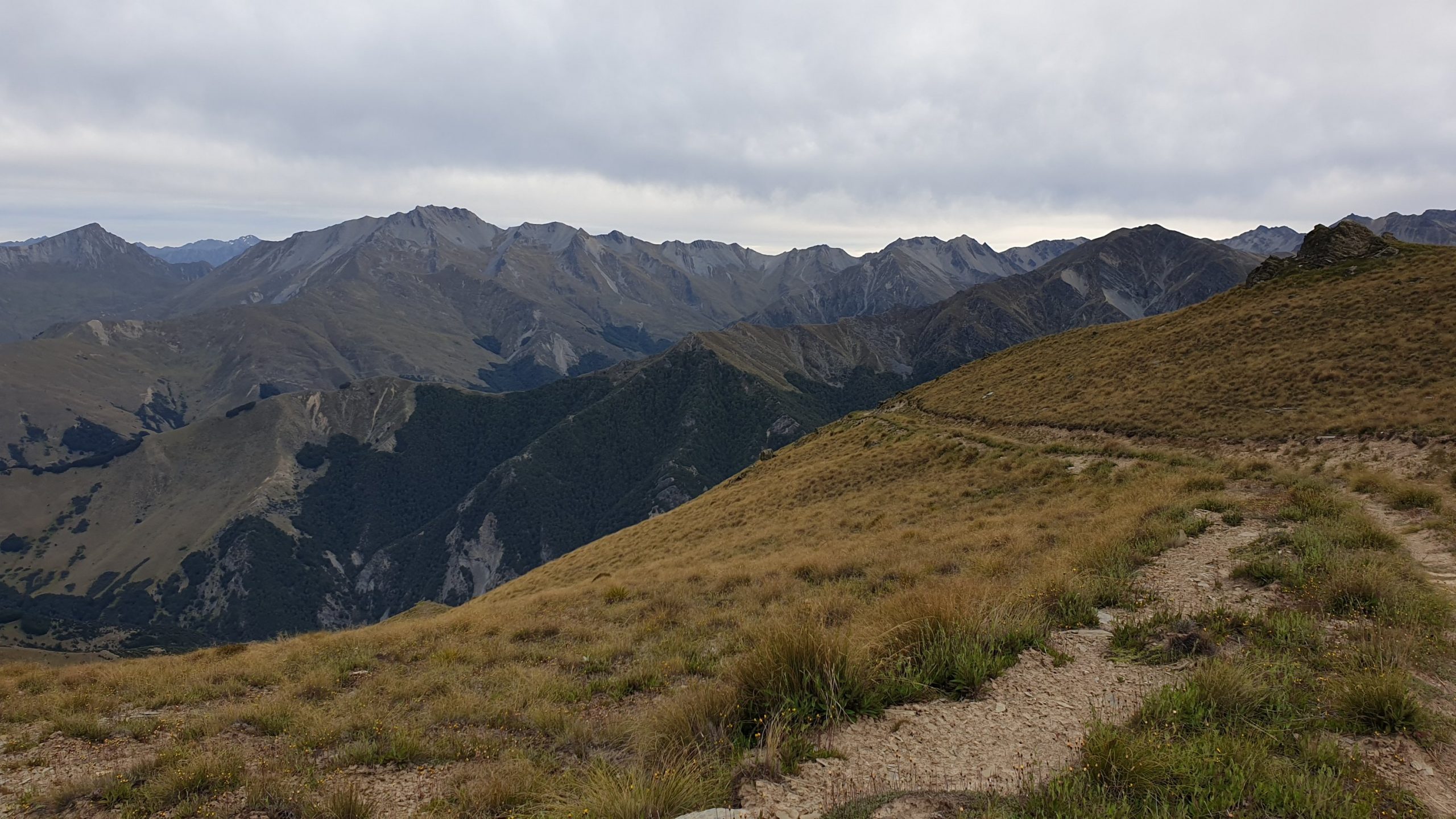
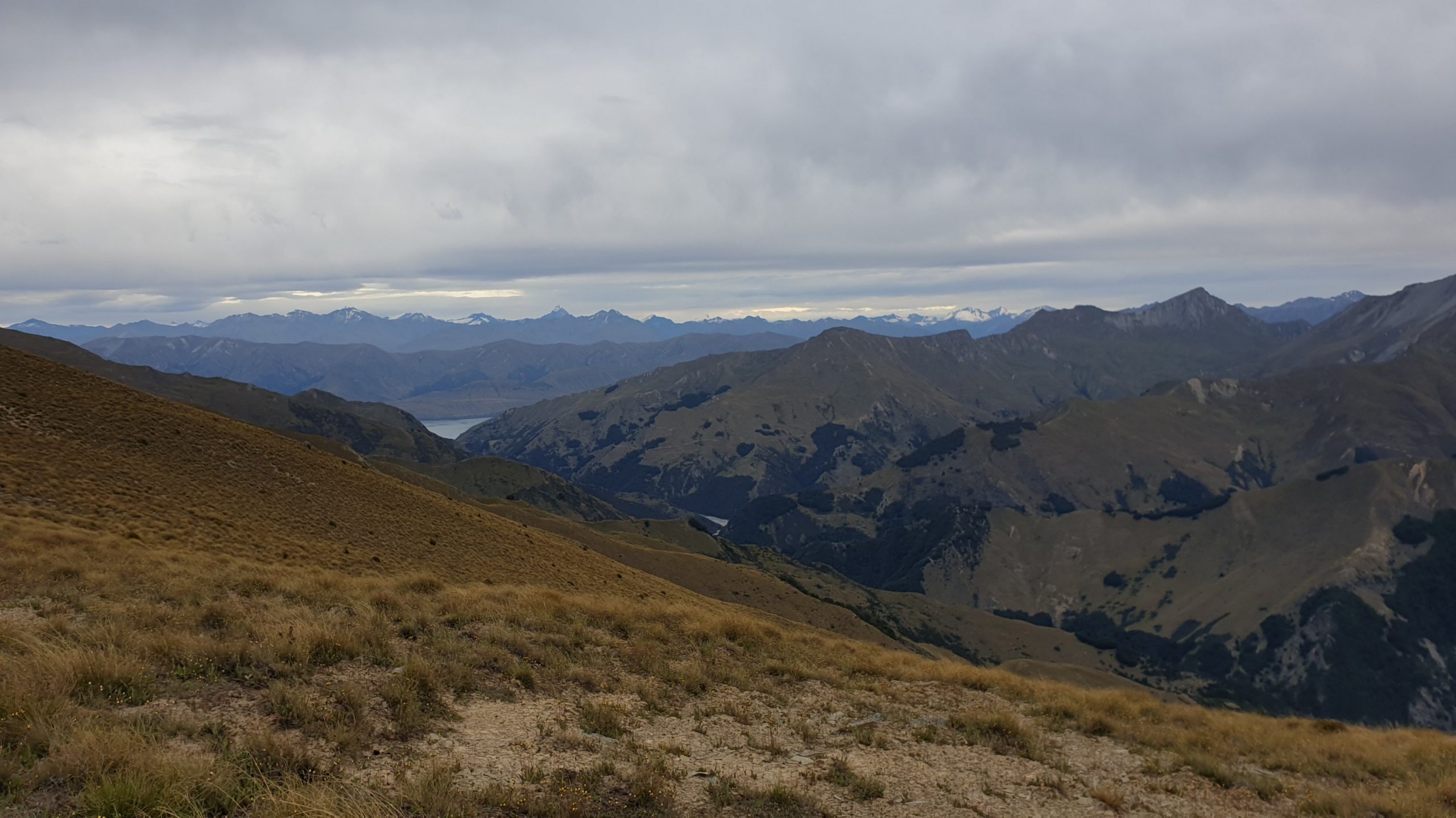
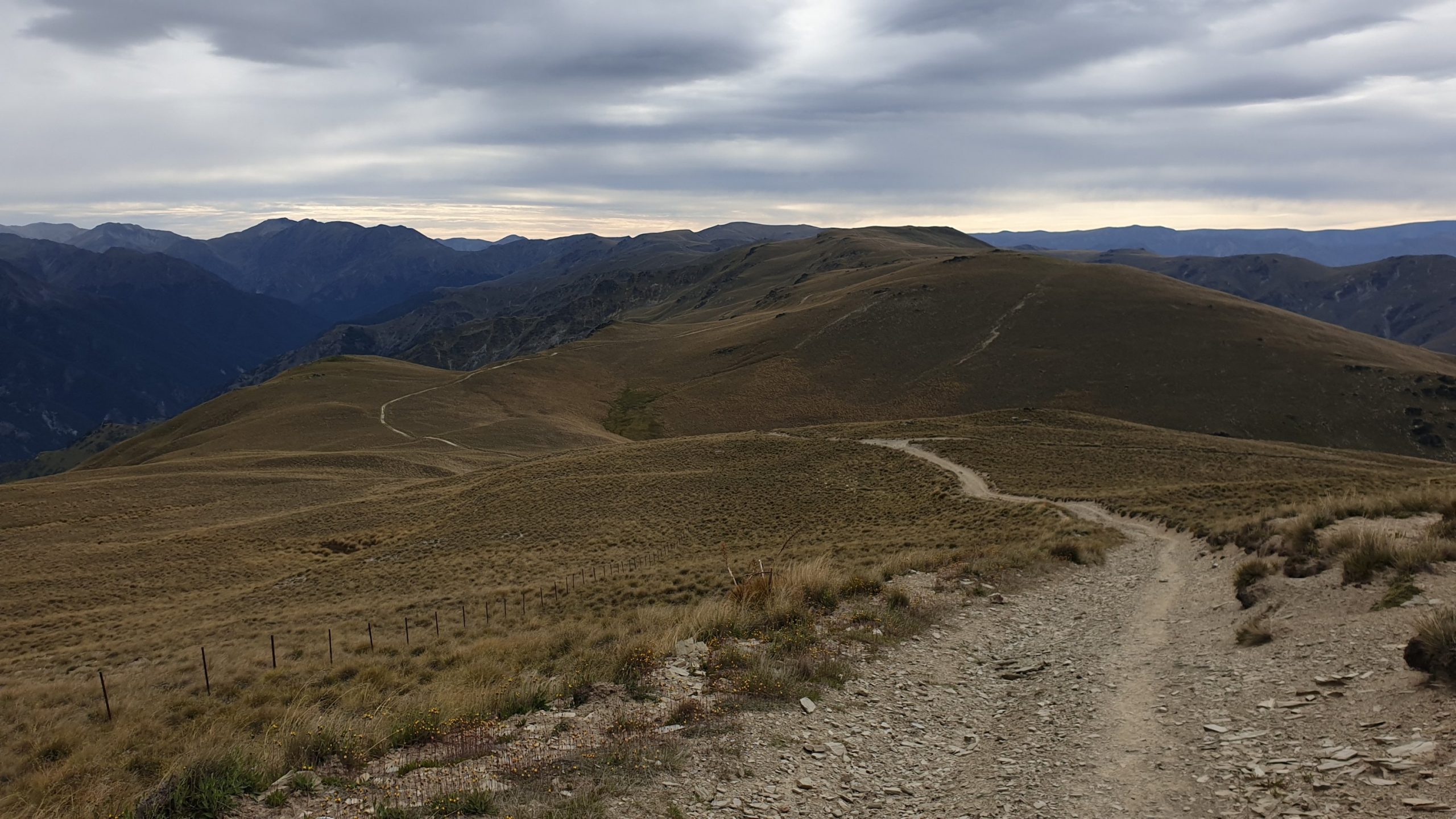
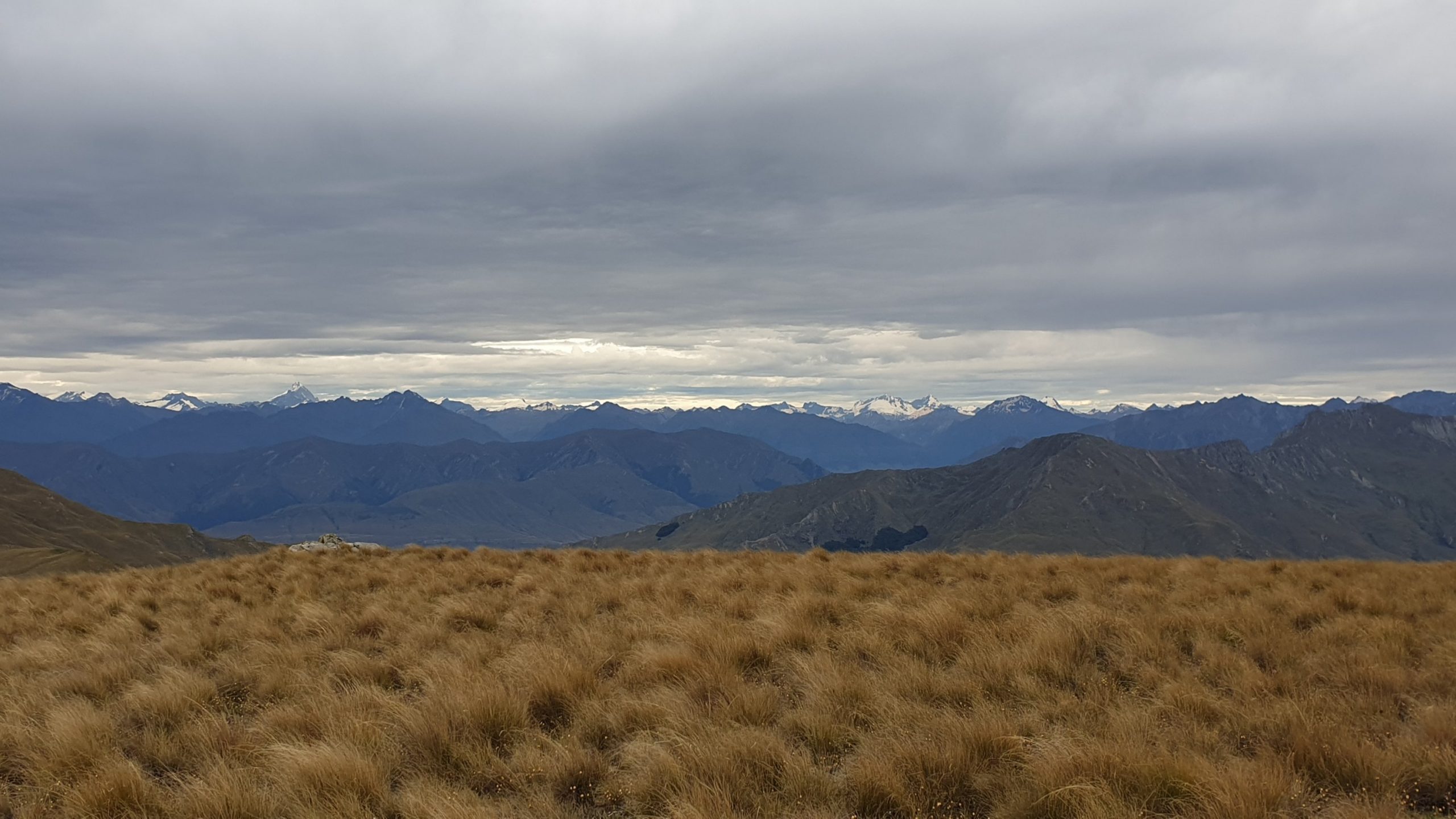
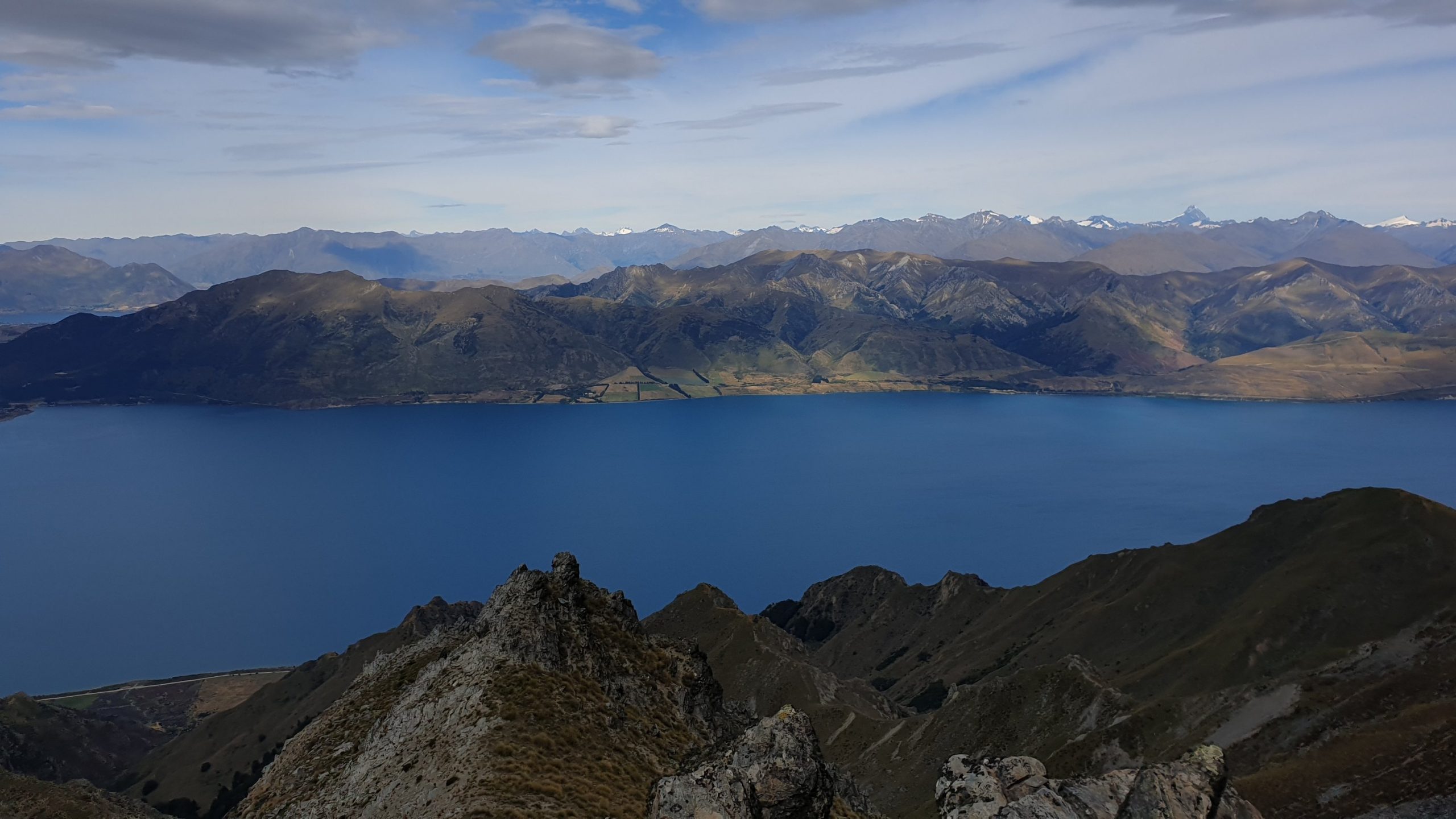
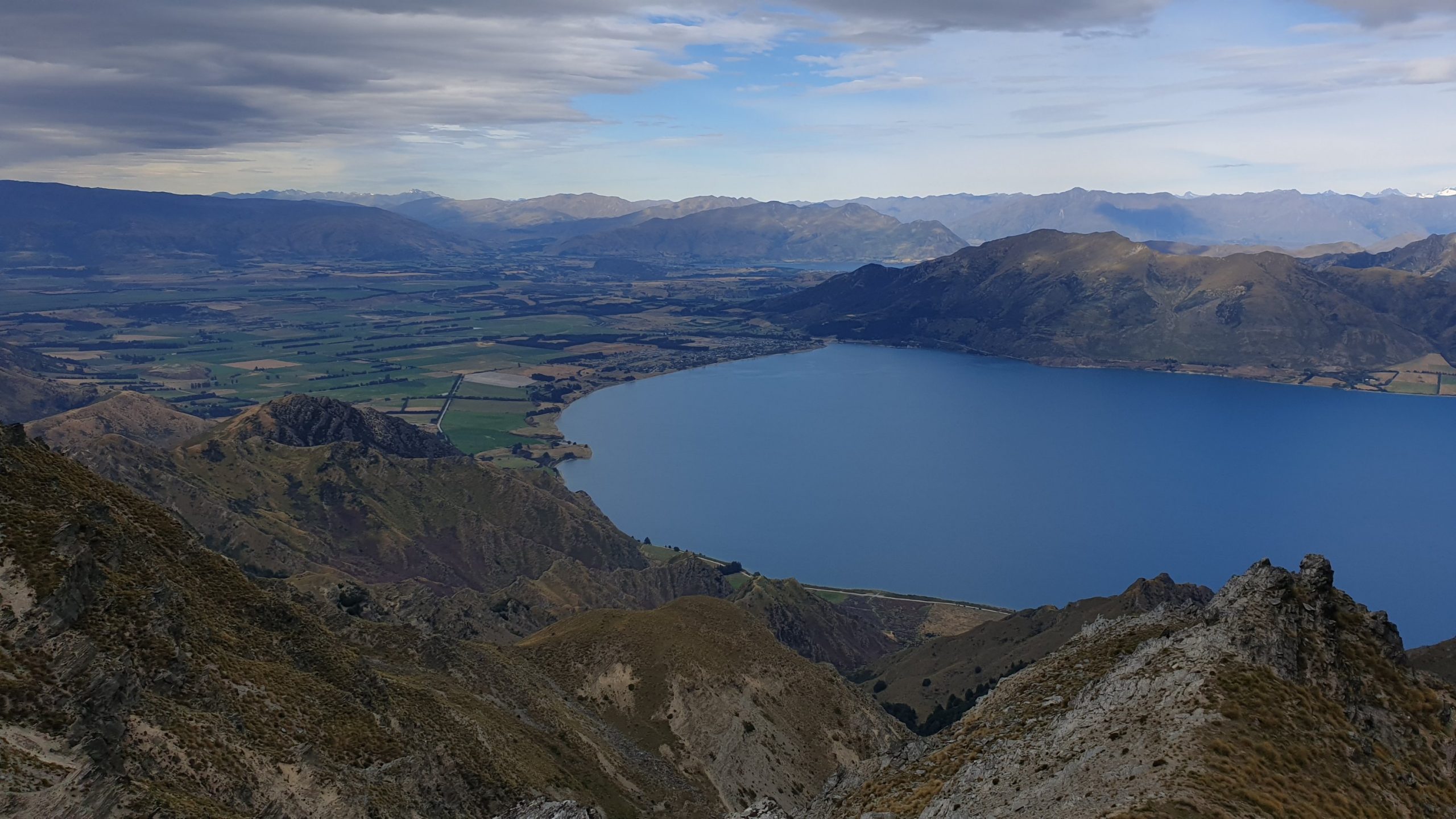
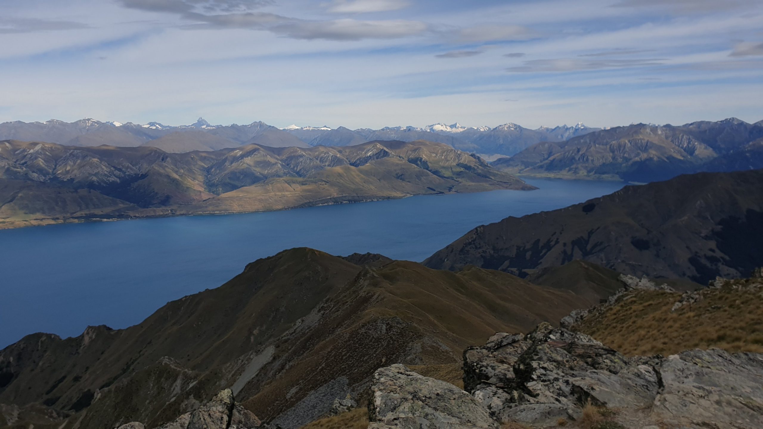
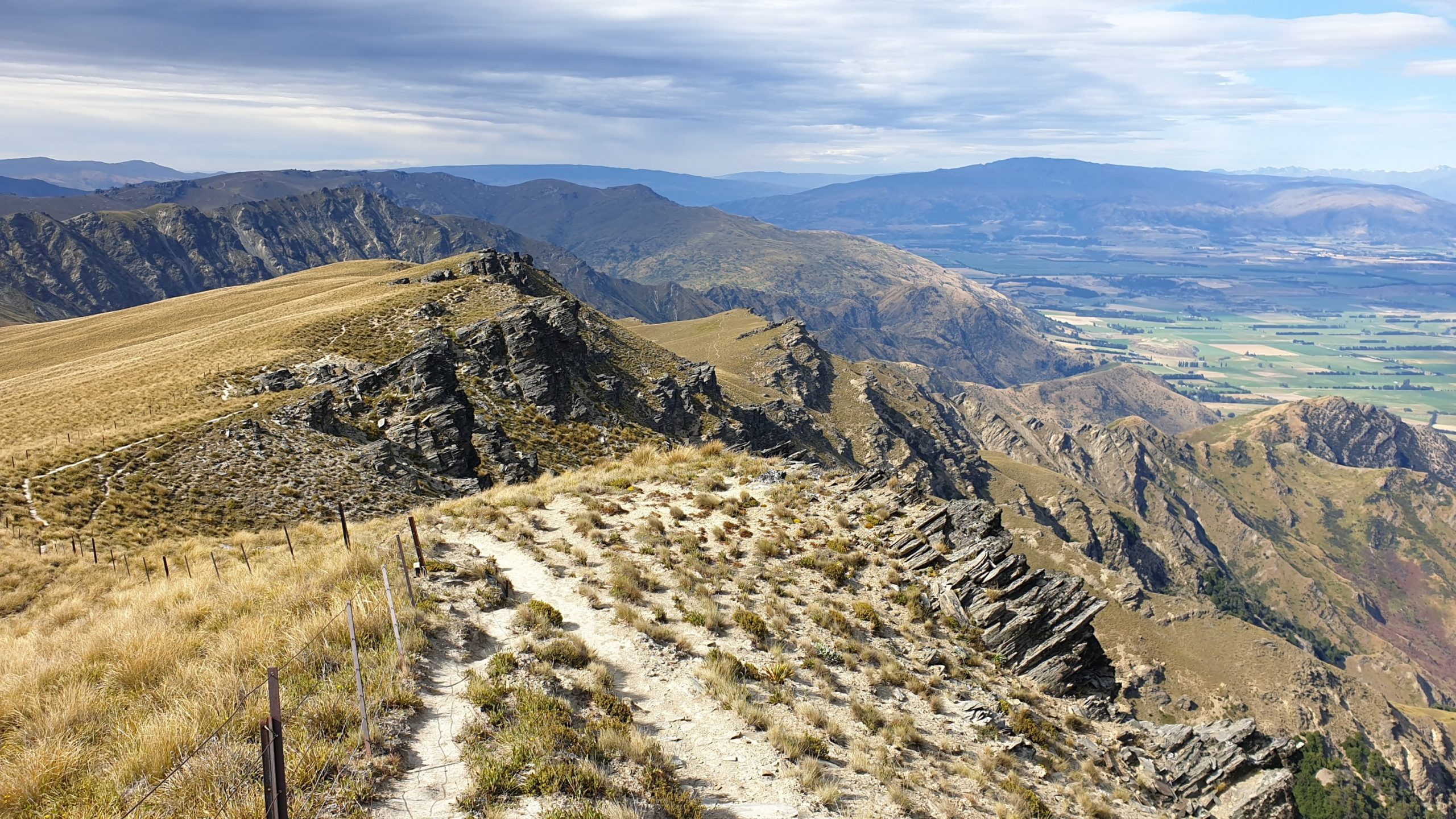
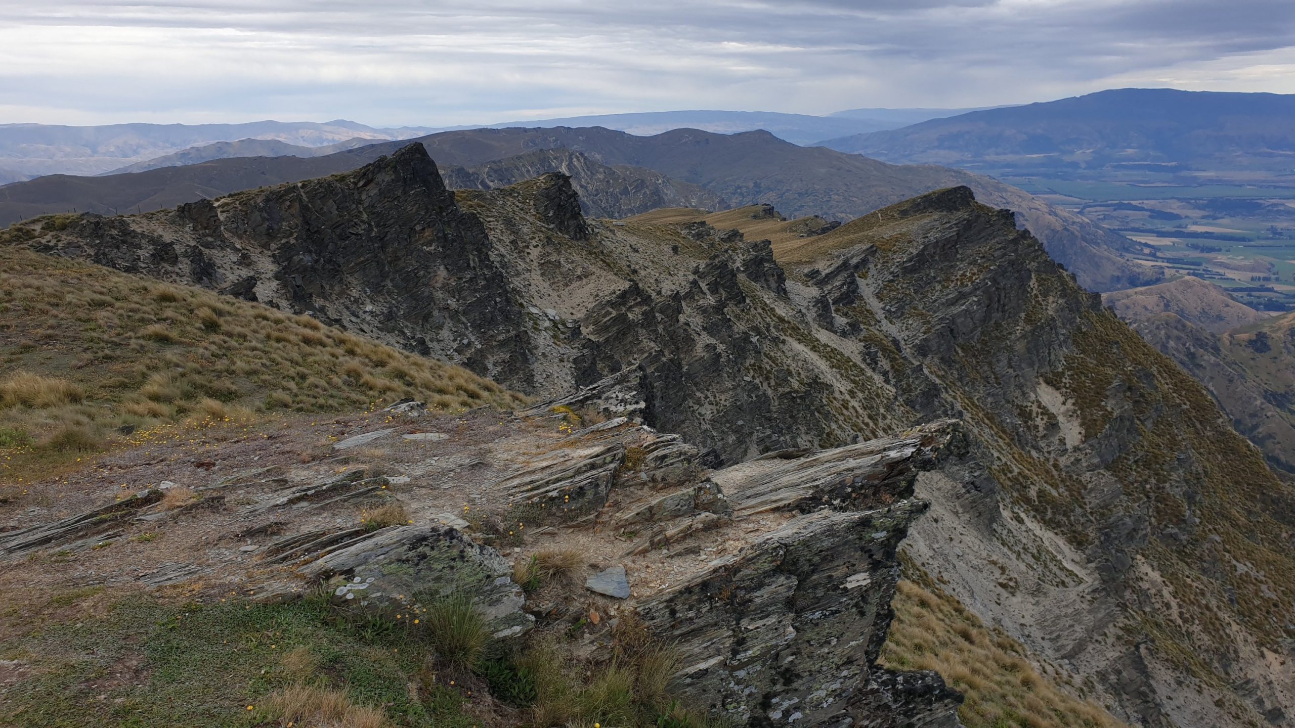
The trail down was intense!! Very narrow, steep, slippery in places and some bits that required some rock climbing or clambering. I actually saw it from the top of the hill and wondered which idiot would ever walk there??!! It also ran right along the ridge line with steep drop offs on both or one side. It was 2.5 hours of knee busting and adrenalin downhill that I wouldn’t wan to repeat!
The one thing that I was looking forward to was a pick up from Sarah- a friend of Vasti’s – who was nice enough to have me for a few days.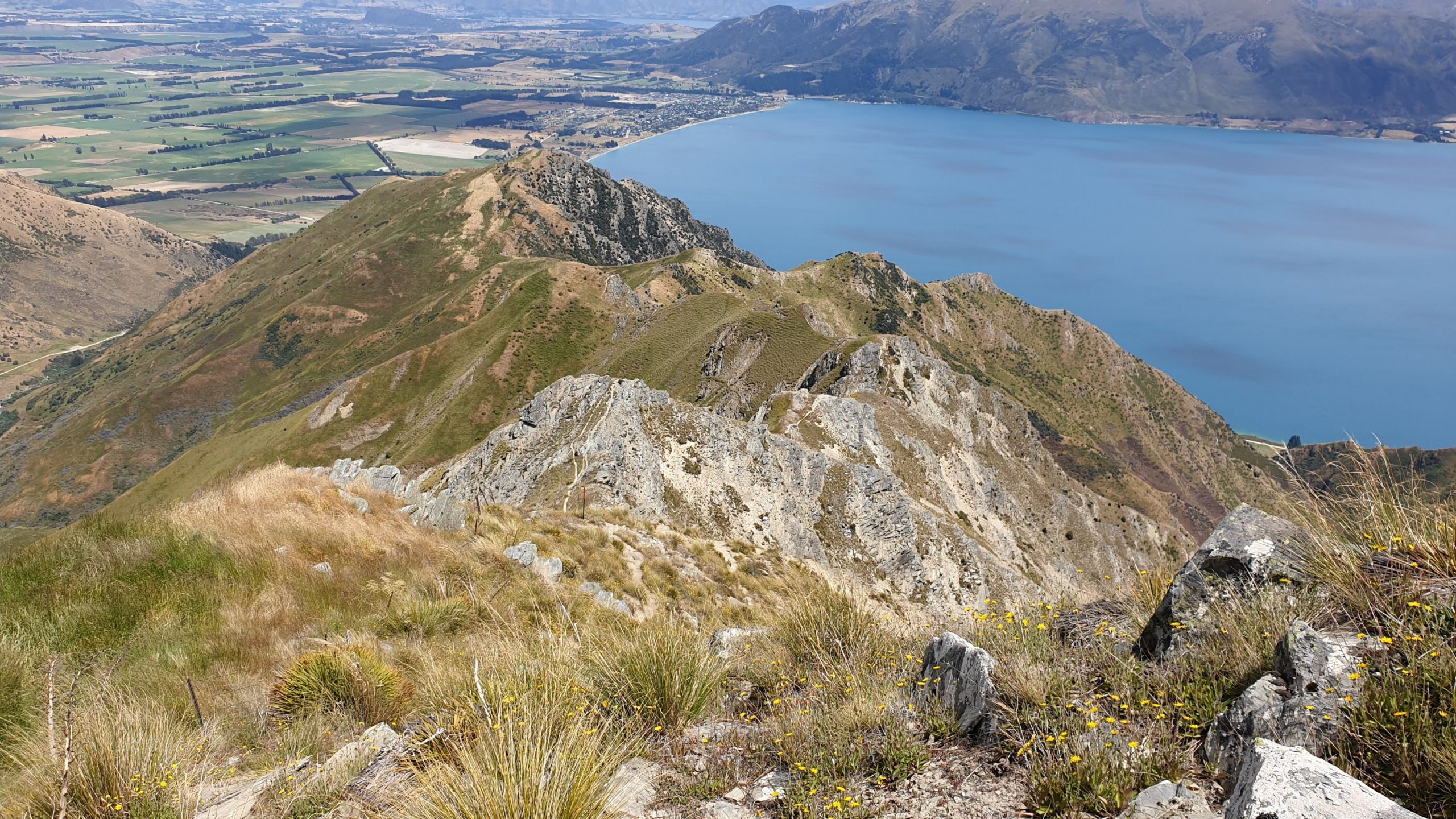 Spot the trail along the ridge
Day 96-
Km 0
Cumulative Km 959
Sarah was due to be going to Wanaka a few times this week and I thus planned to meet the physiotherapist a couple of times for the groin, which helped a lot!
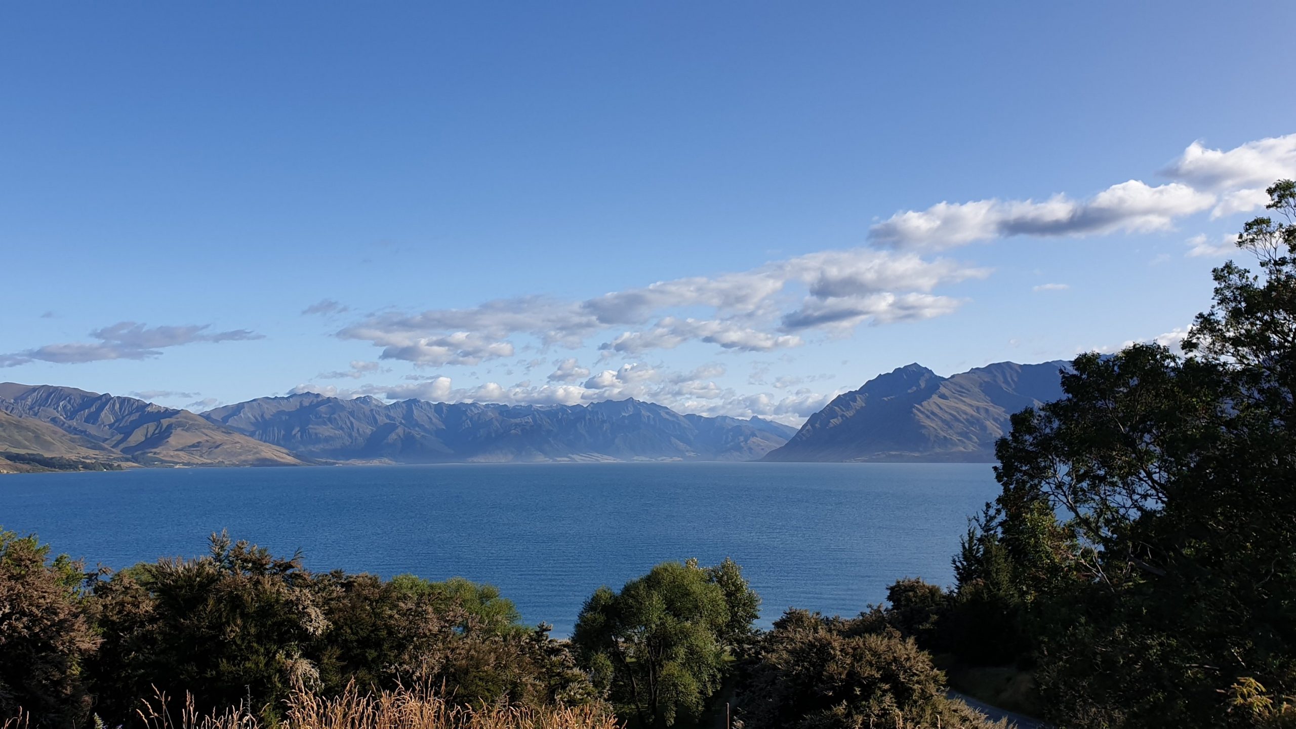
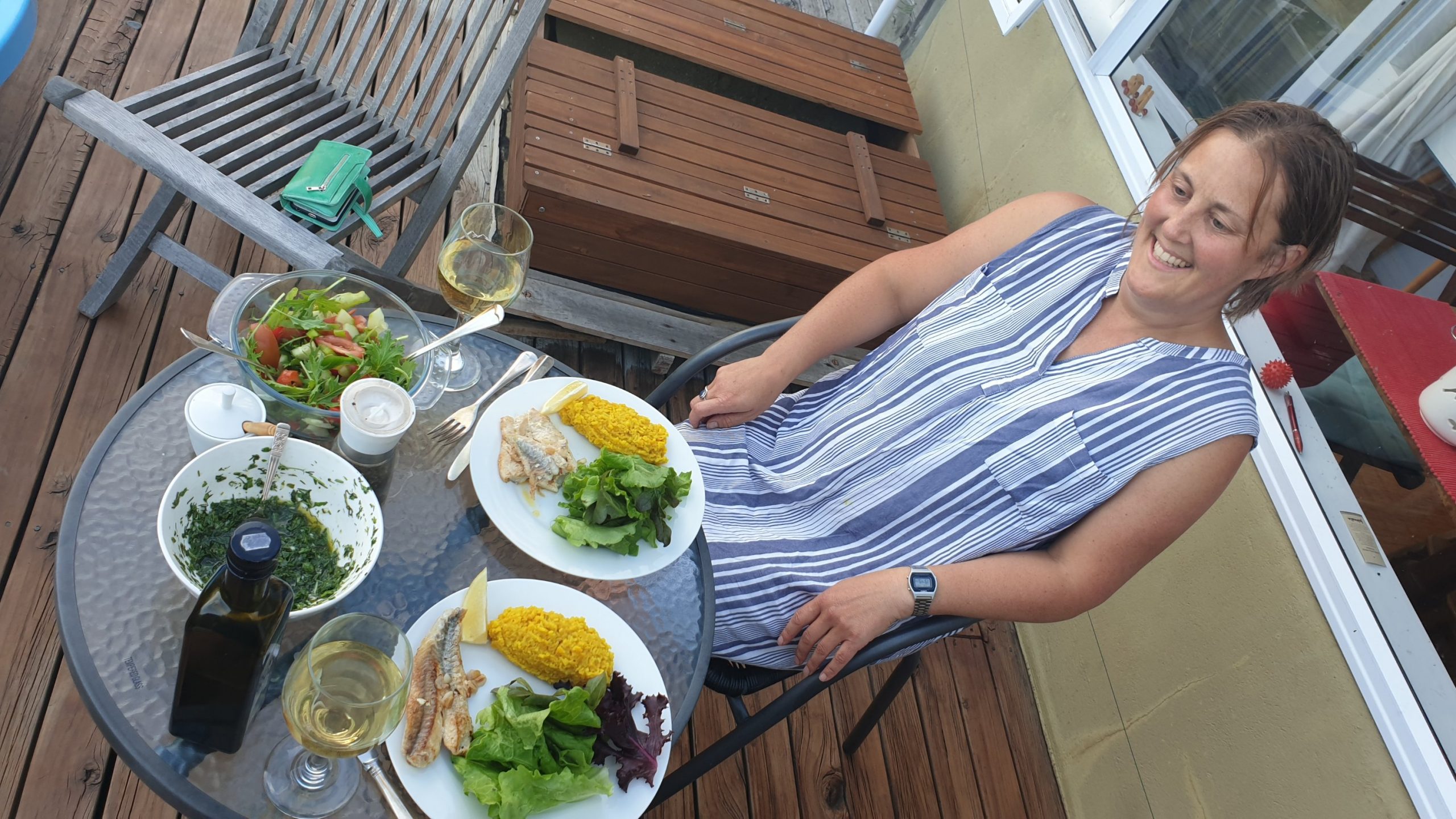
We also did some nice dinners on her great deck with a view of the Alps and Lake as far as the eye can see!
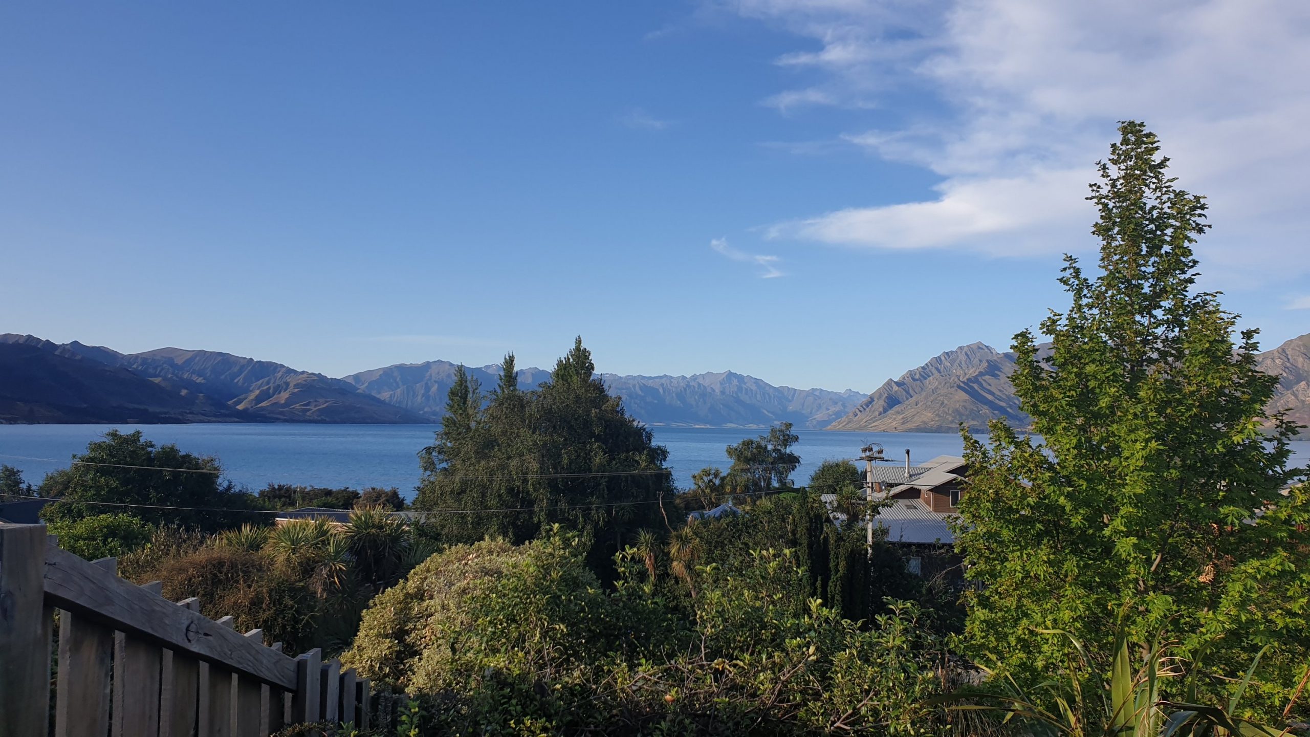
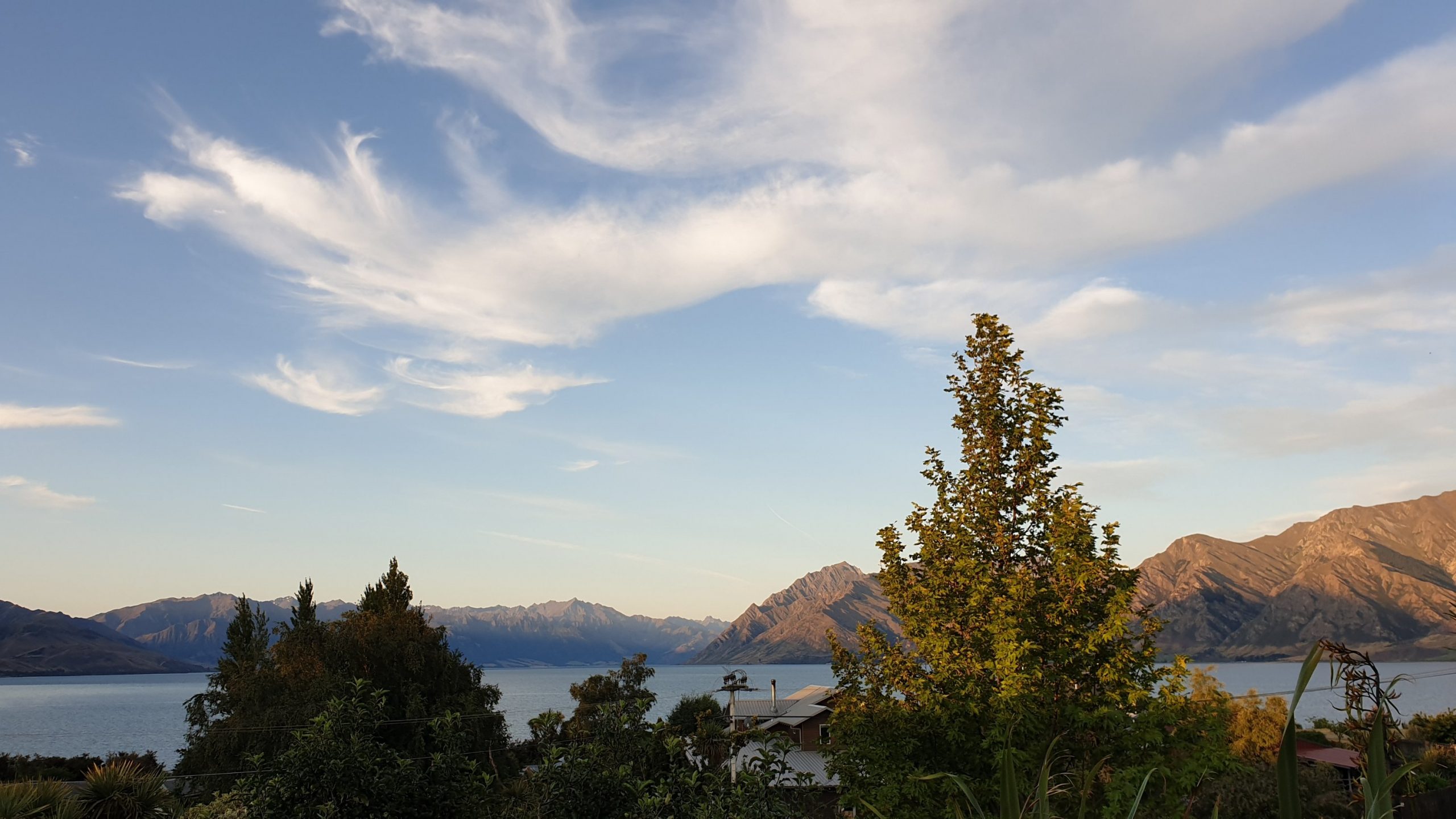
I checked on the weather forecast for the next section, which is very exposed and steep in many places, and there was high wind and high rain forecast. So I changed my plans to go to Arrowtown and do the last section, in and out , overnight. Then later the forecast improved. I am over changing my plans over and over!!
Chill start to 2020
As I sit and type this blog I haven’t yet walked this year!!
I got picked up from Anakiwa by friends from Nelson and spent some time with them, through the New Year.
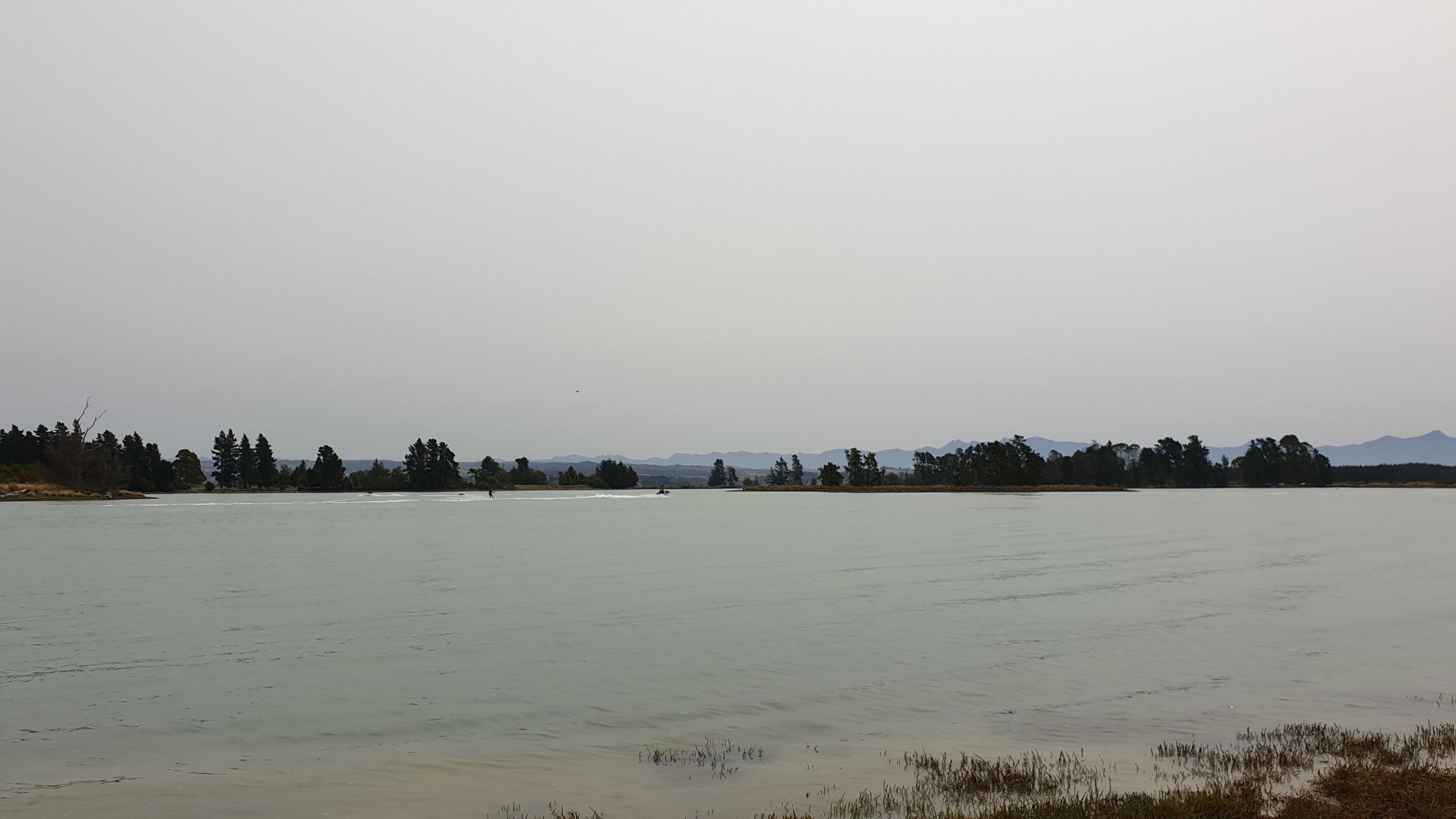
I shopped for 2 x 8 days and sent a food parcel to St Arnaud. After doing this I changed my mind about doing the Richmond Ranges as I’m not sure that I’m physically capable of doing it.
I booked a shuttle to St Arnaud, got there in beautiful weather but the forecast wasn’t looking good at all for Waiau Pass. So,yet again I changed my mind, and after 1.5 hours I hitched a ride with two Canadian sisters to Westport.
Here I met up with Angela, who moved to NZ two years ago from Whyalla. It was good catching up and seeing their little farm . It was also exciting to drive down to Hokitika to pick up a ram for the ewes! All in a days work 🤣
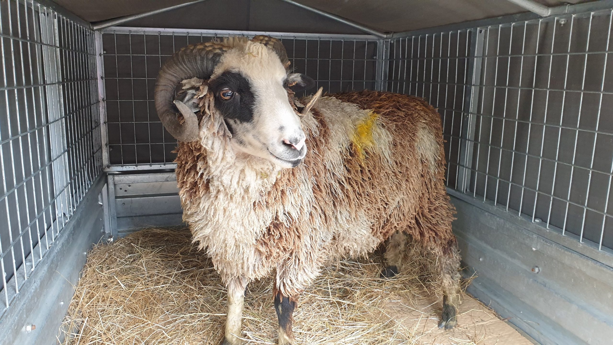
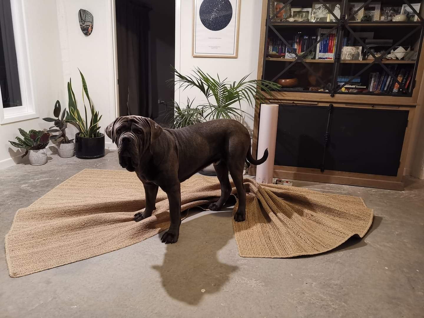
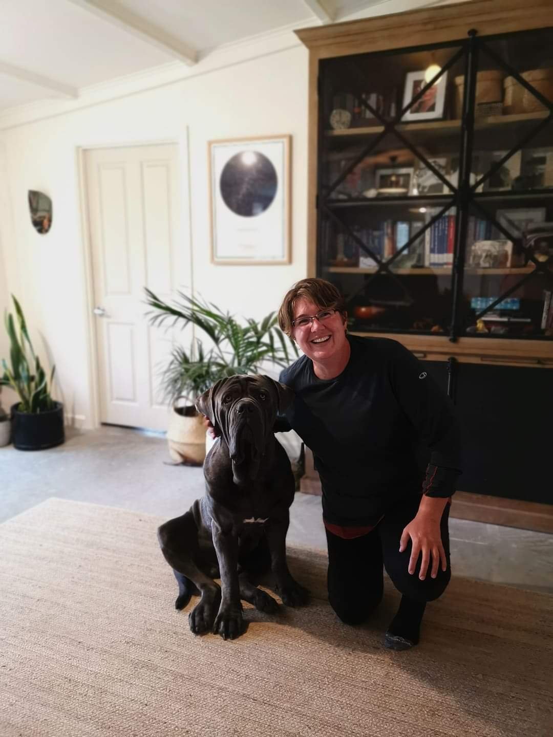
I was also then dropped off in Kumara to visit Jo…who I used to work with. I finally met her husband and their fabulous dog, Hugo. He is a huge cuddly puppy 🙂
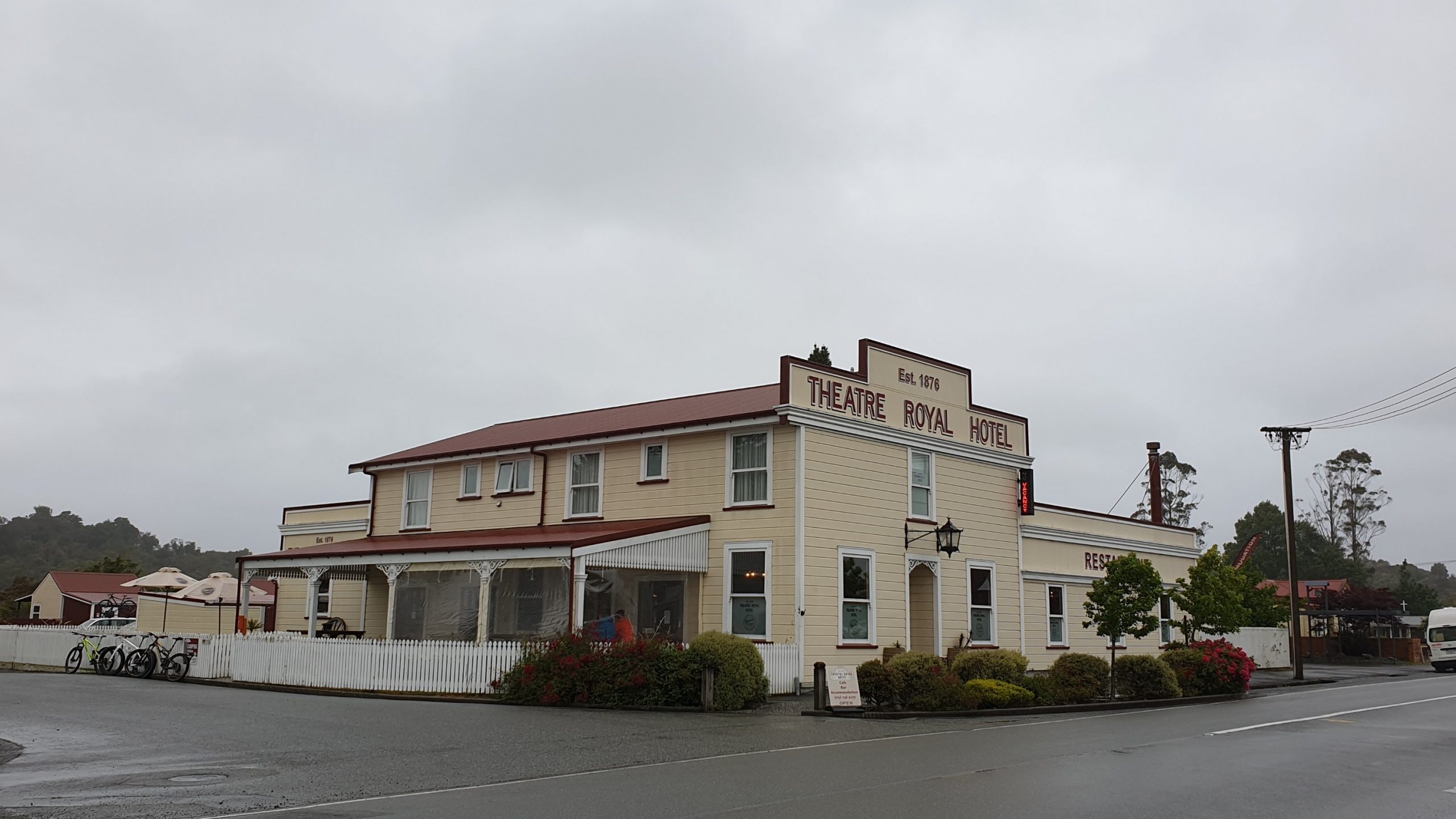
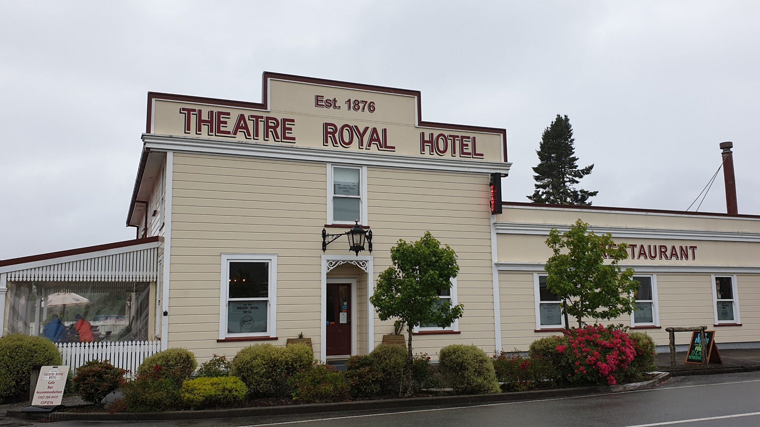
Jo and I also went into the village to check out the renovated Hotel . Its looking very good!
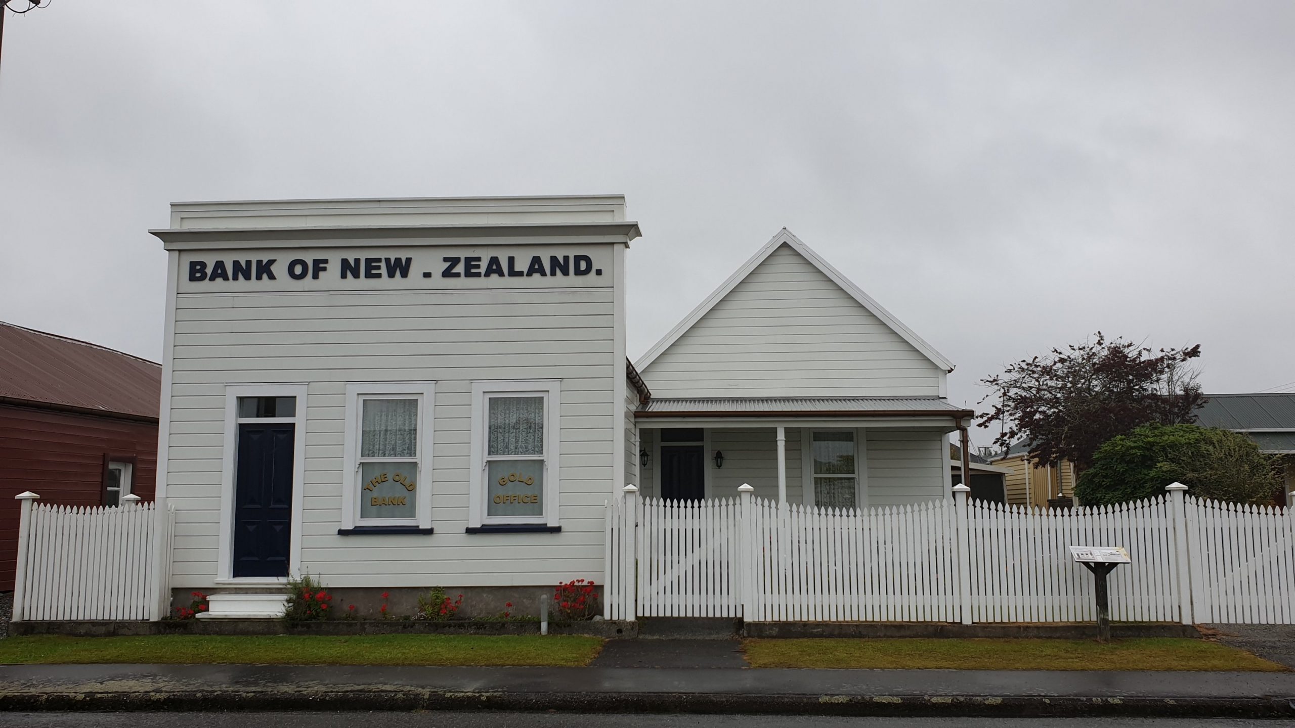
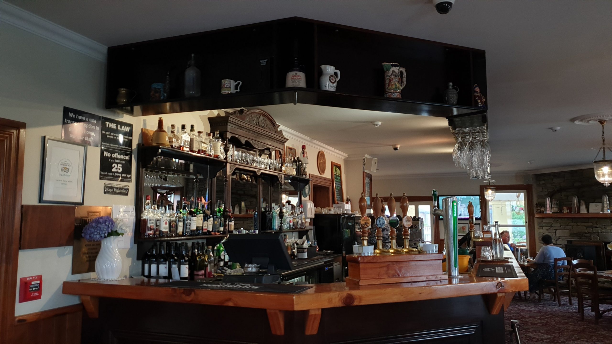
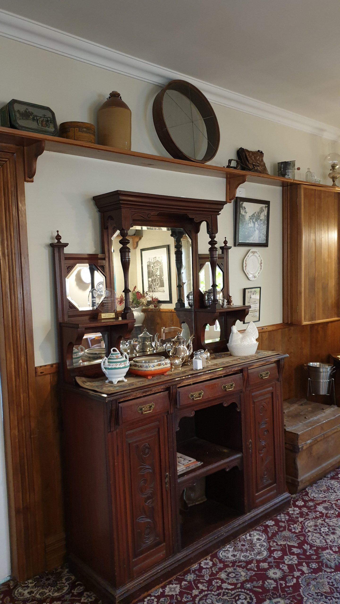
After Jo, I stayed with young Louis and visited with many friends from my West Coast days. Good catching up on the past and the future!!
A few days later I did a rental car transfer from Greymouth to Christchurch Airport . Got a great zippy Holden Calais for $1!! No need to pay for fuel either!
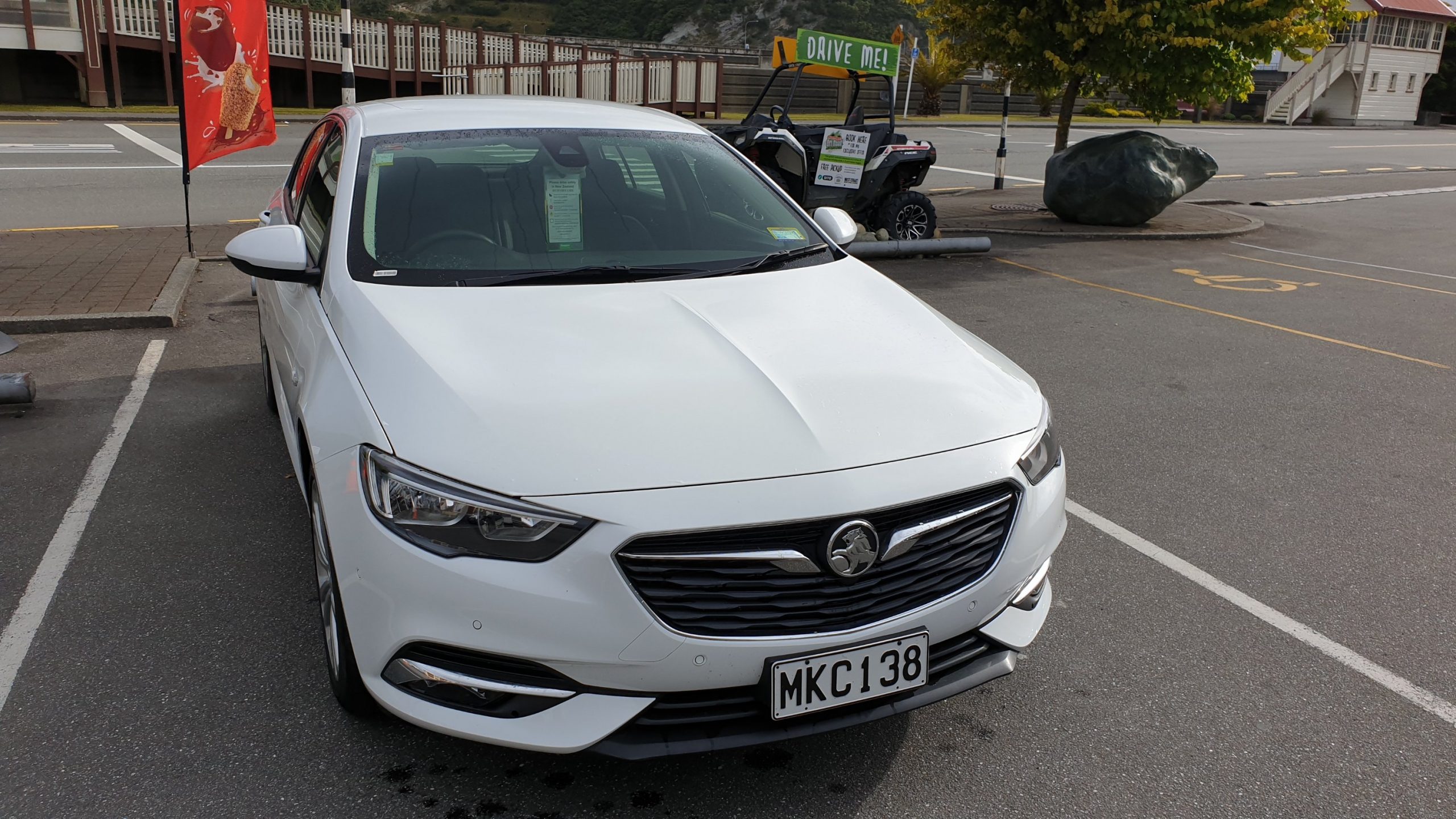
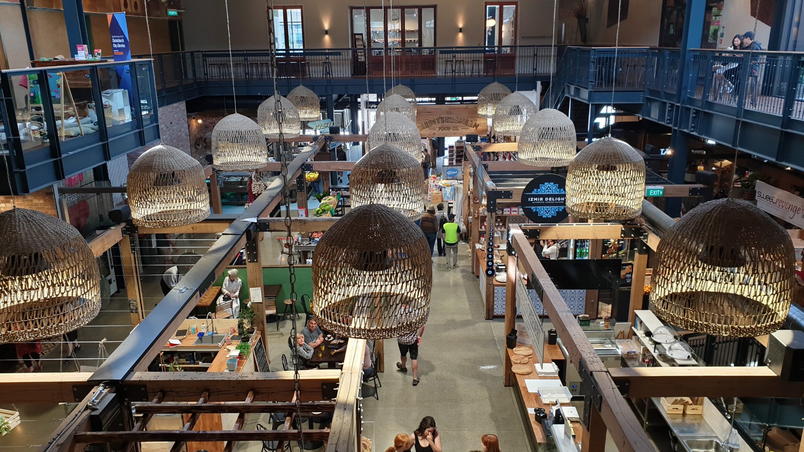
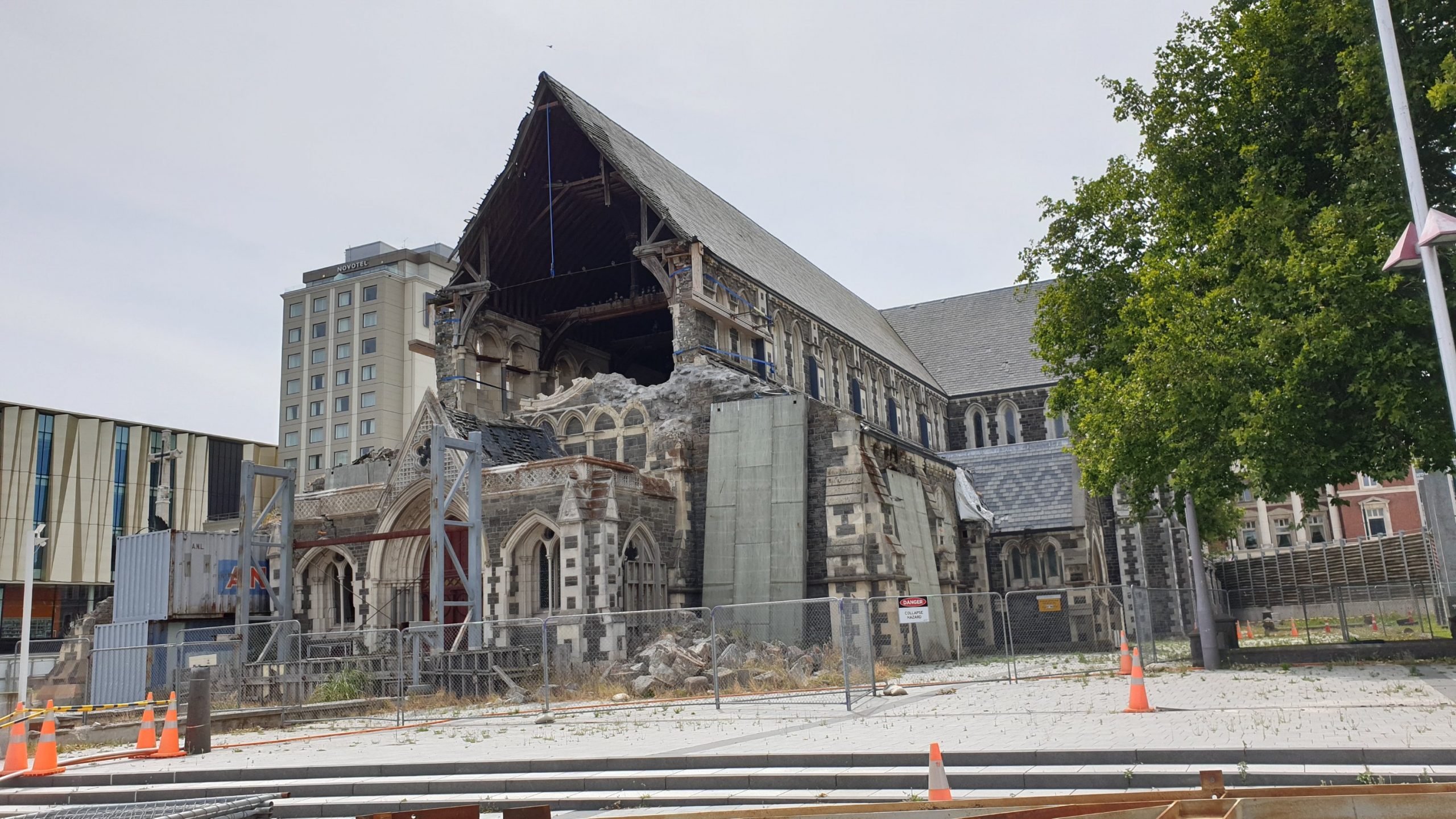
Here I visited Lydia and Andre. We spent friday around Christchurch city centre to check all the changes since I was last here a few years ago. There is def more of a vibe and many more buildings and restaurants up. There are not a lot apartment buildings around though, so apparently the night life dies quickly. The big earthquake was in February 2011.
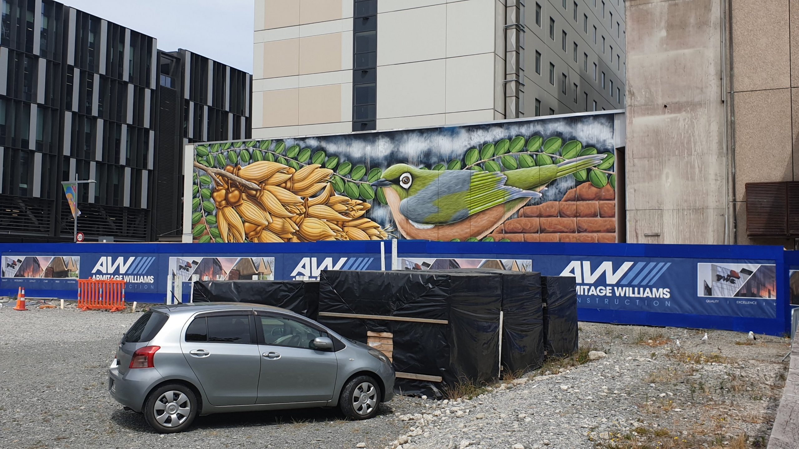
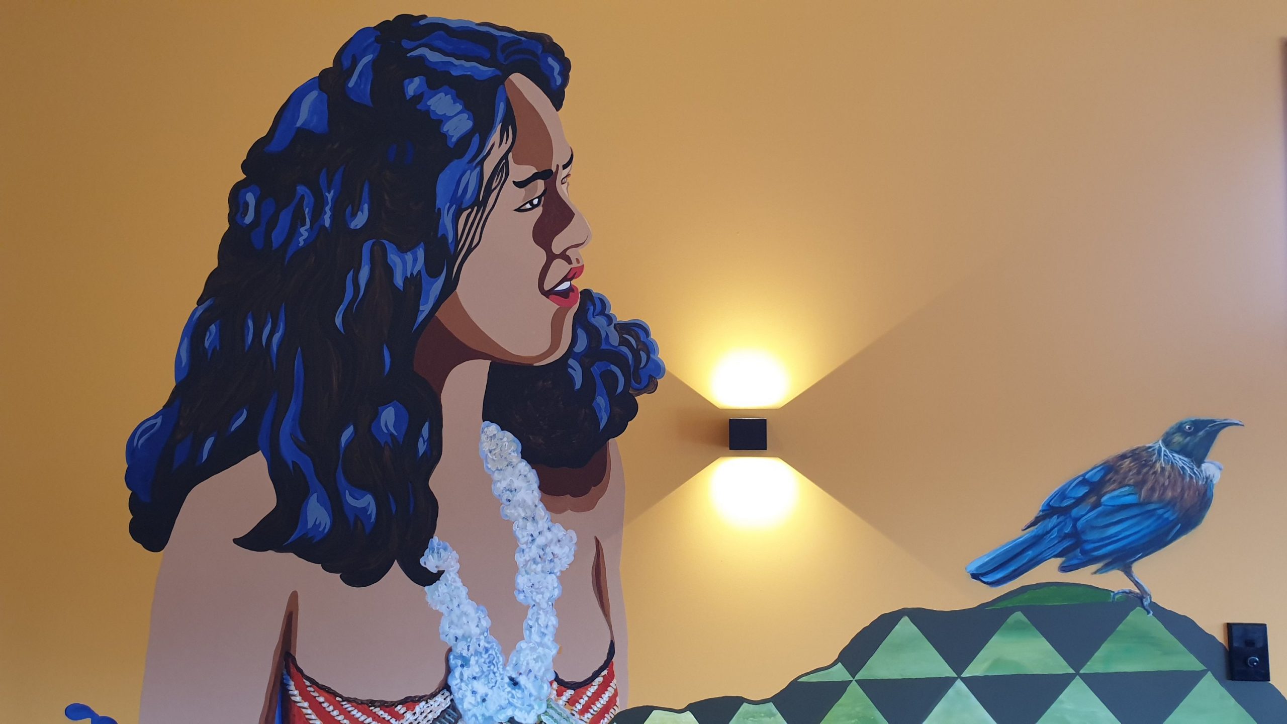
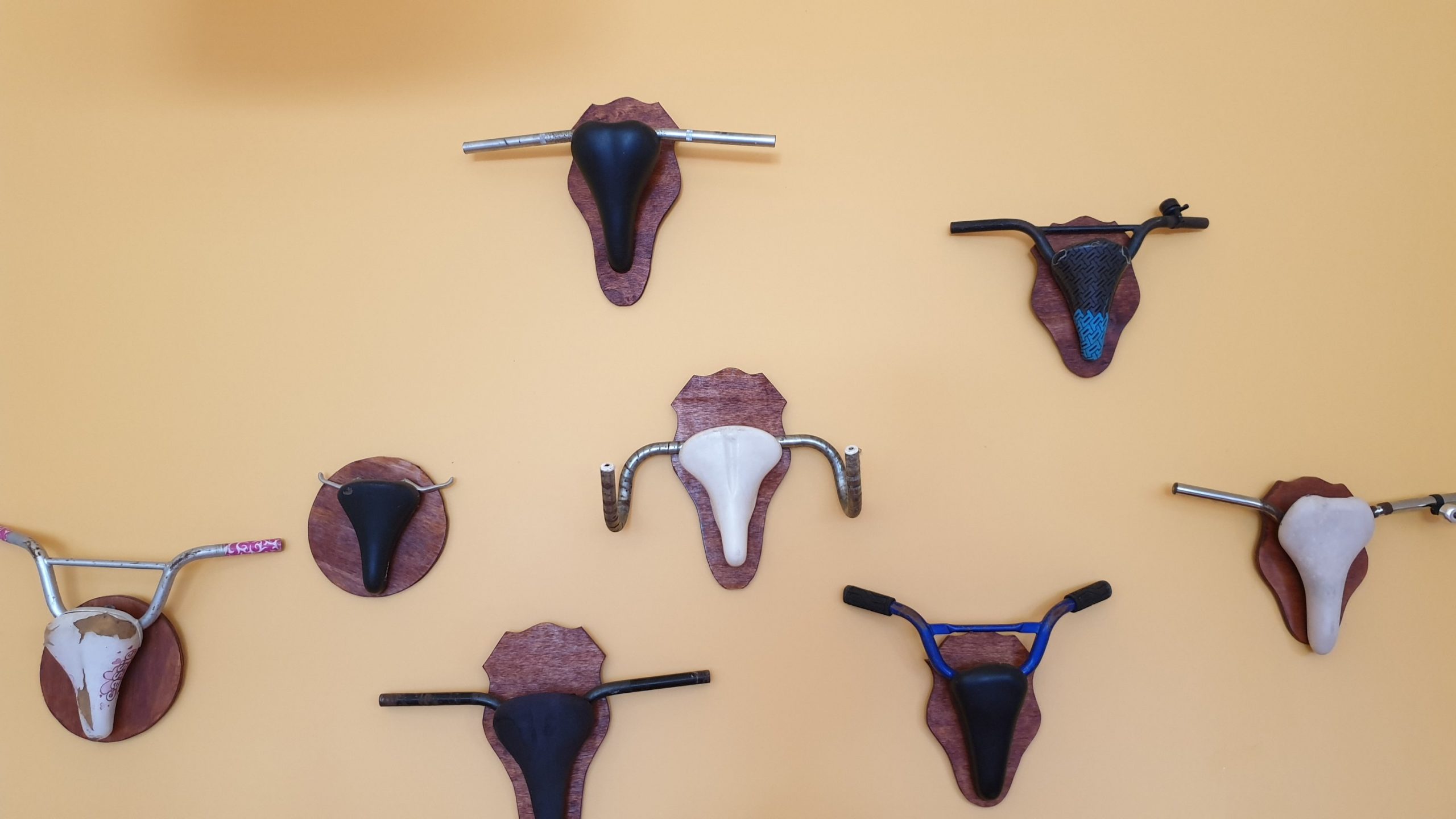
We also visited the Christchurch Art Gallery, which is where the art has been photographed.
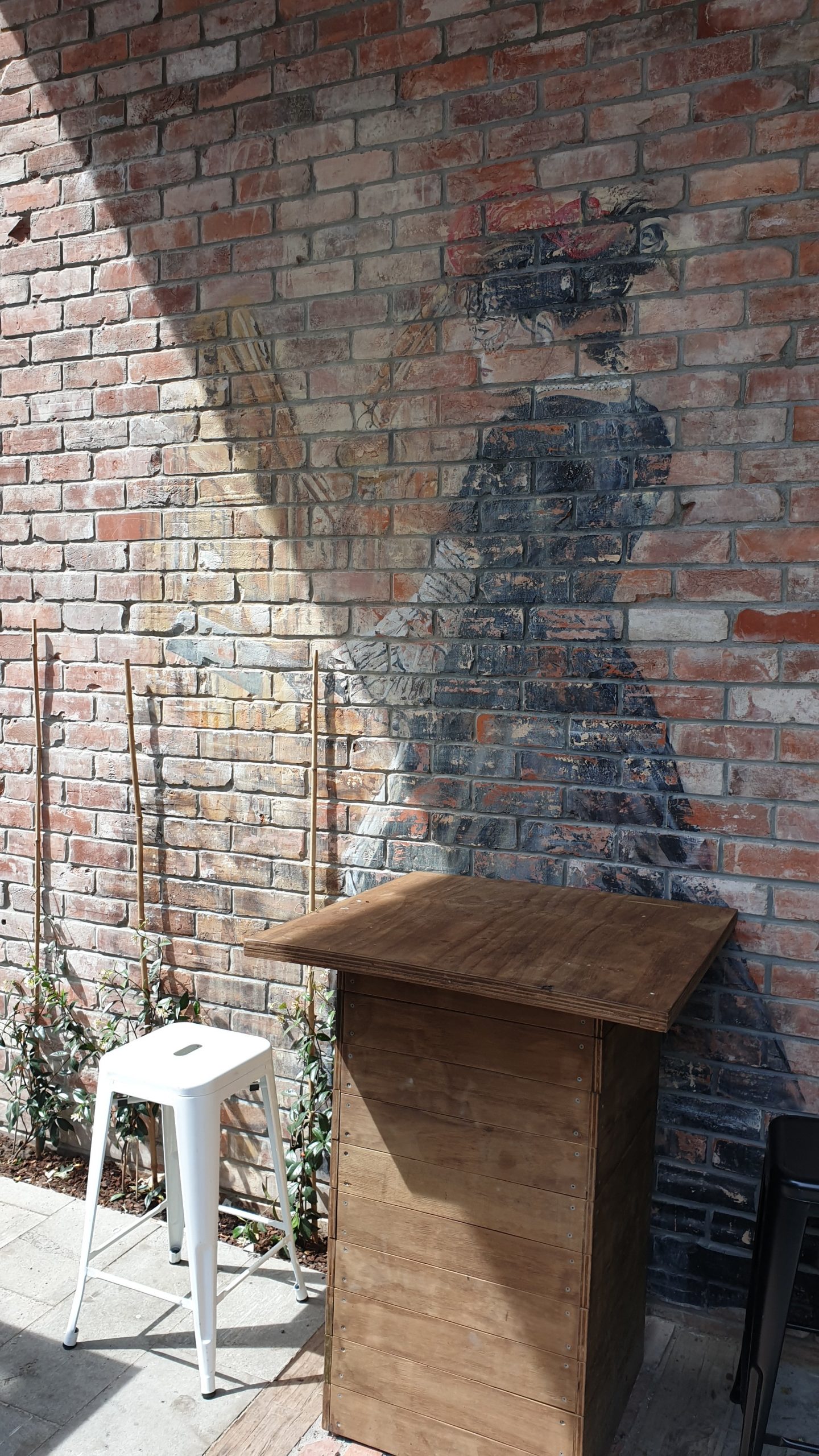
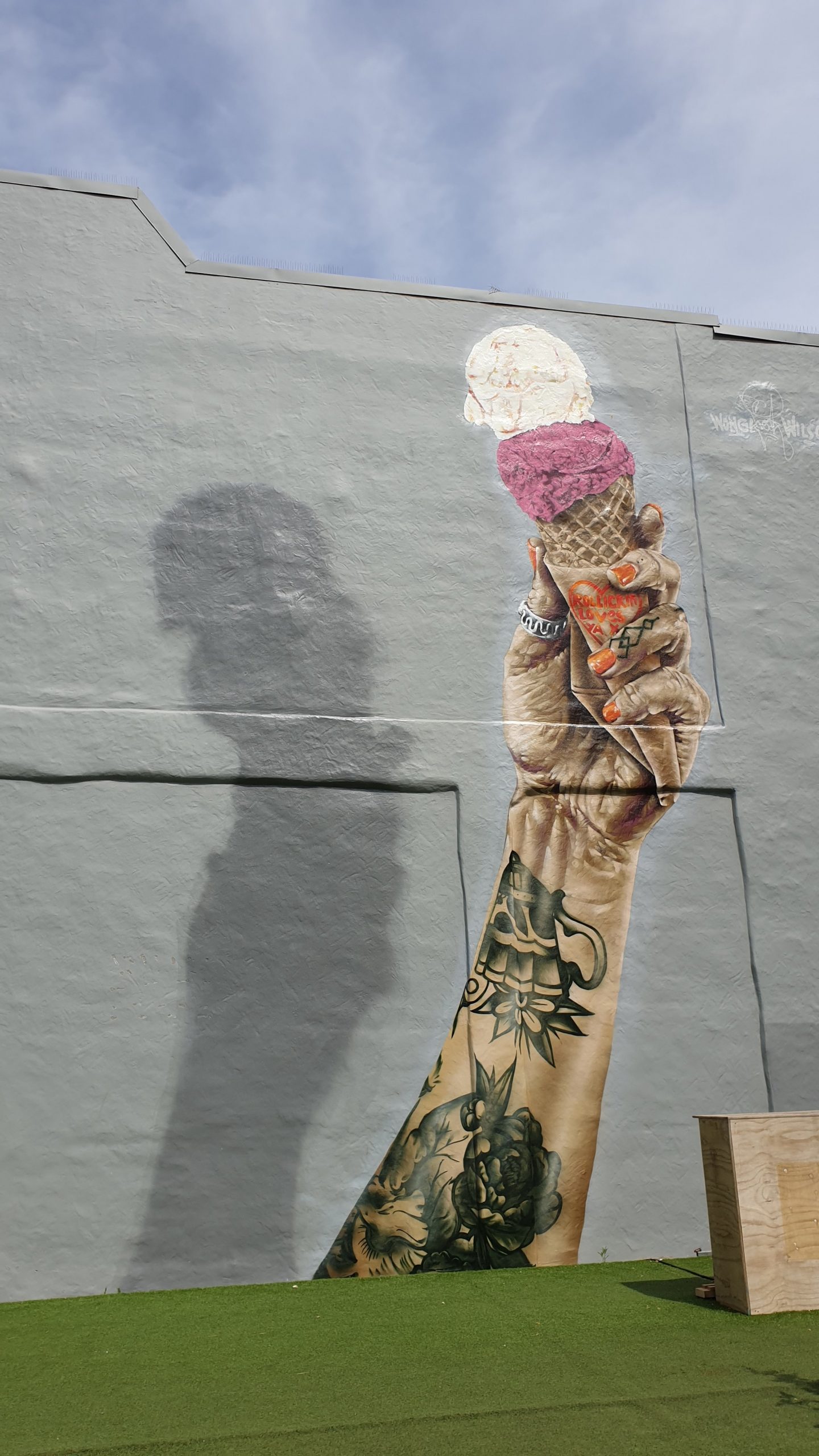
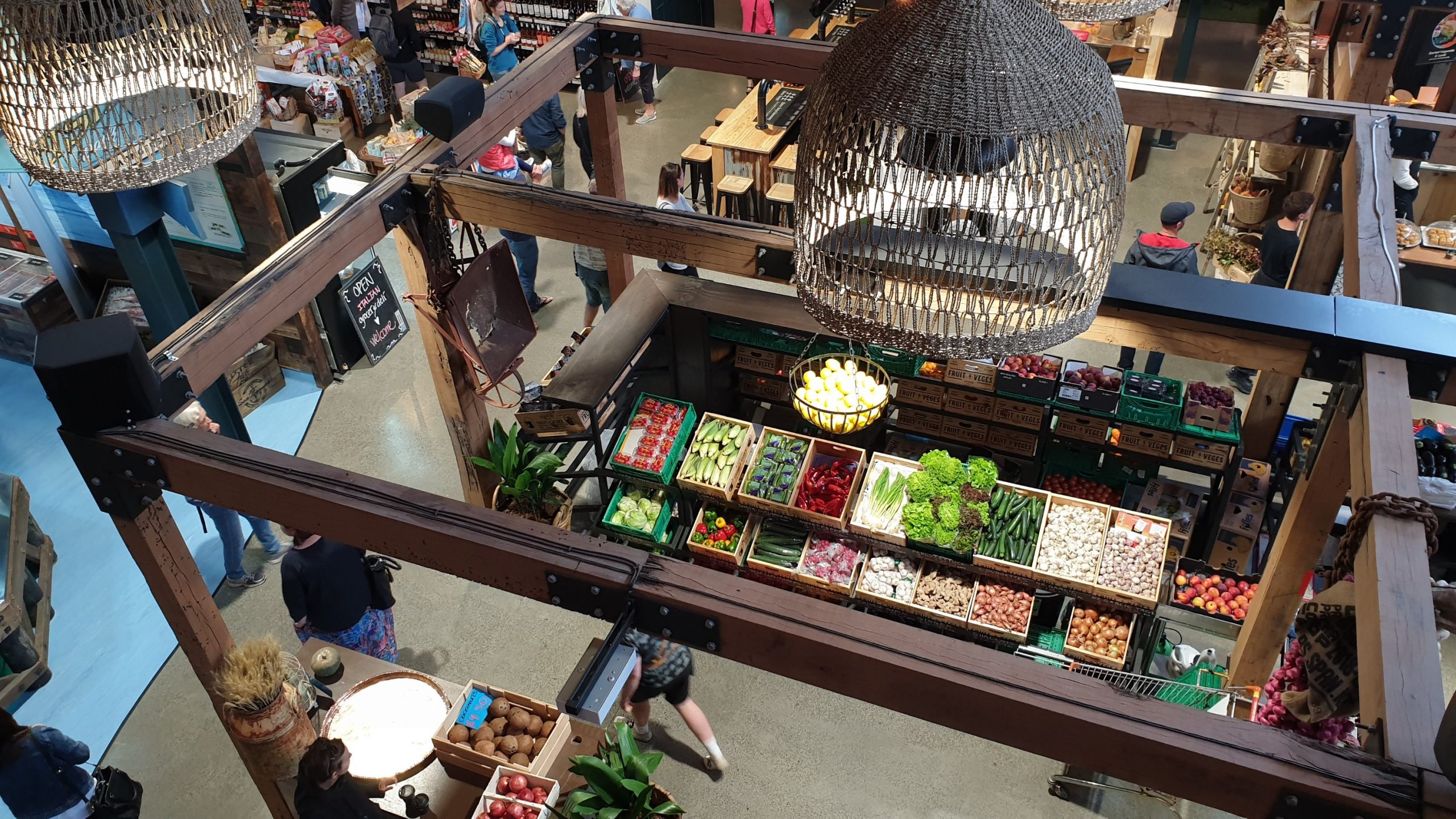
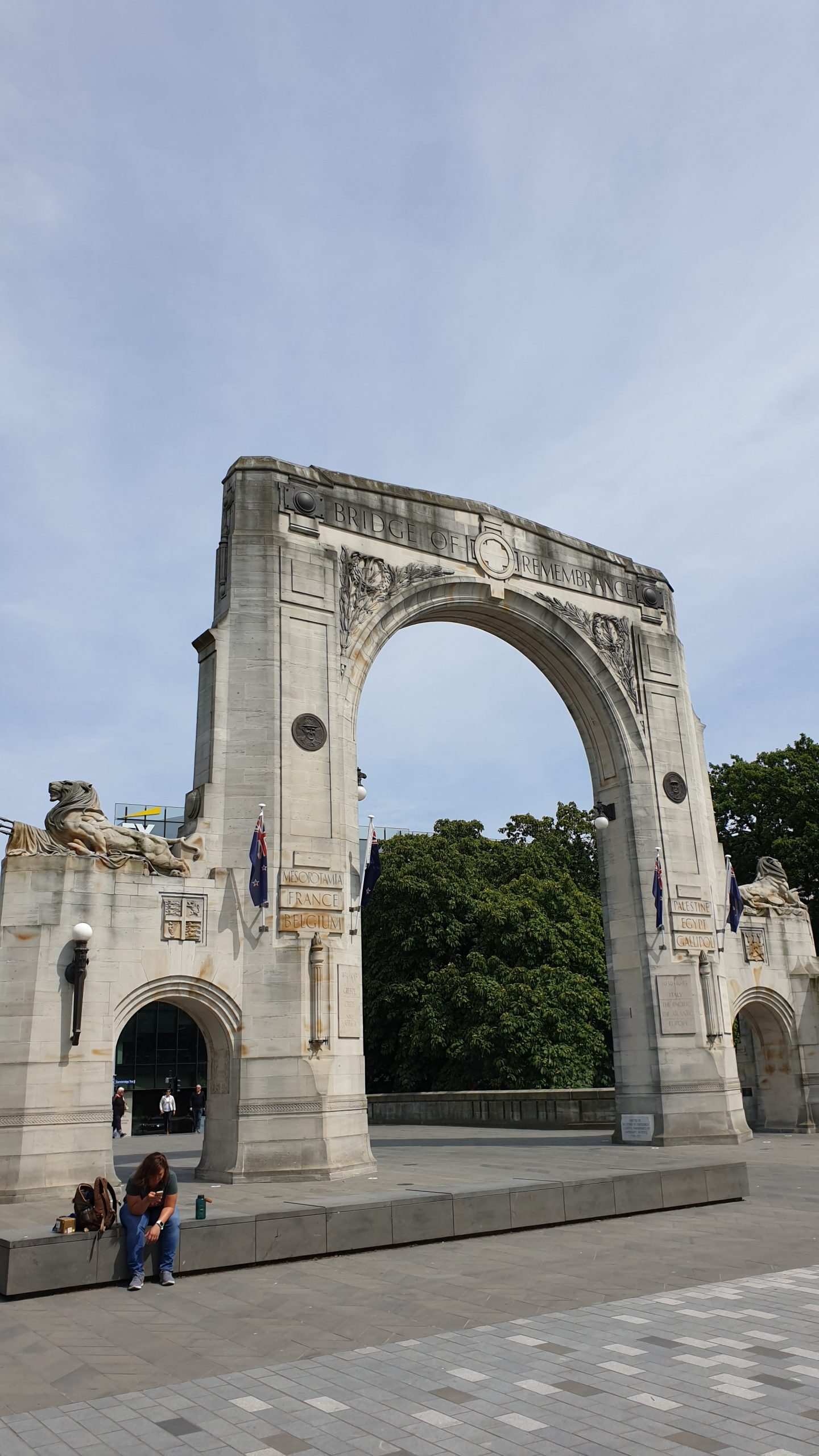

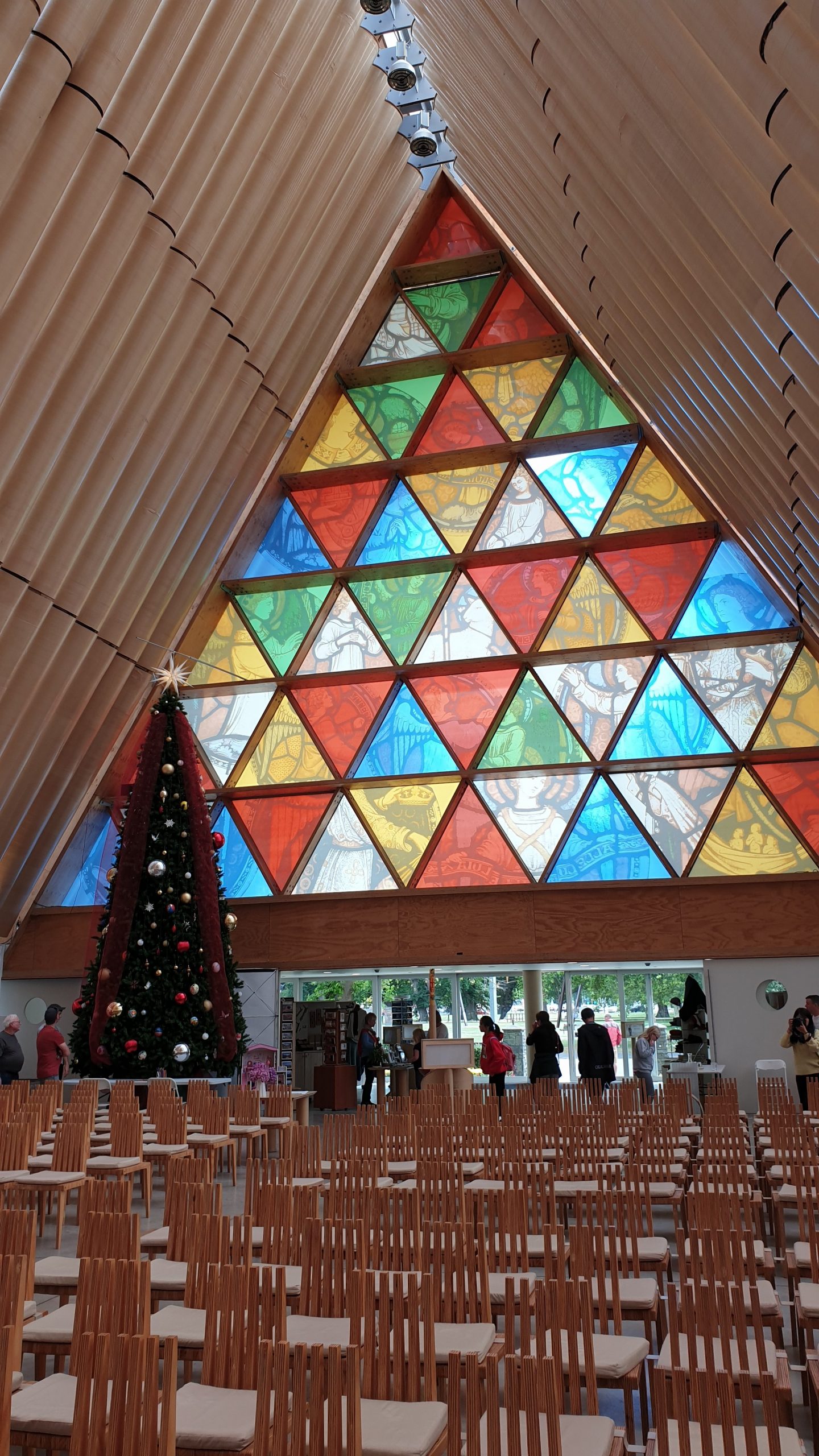
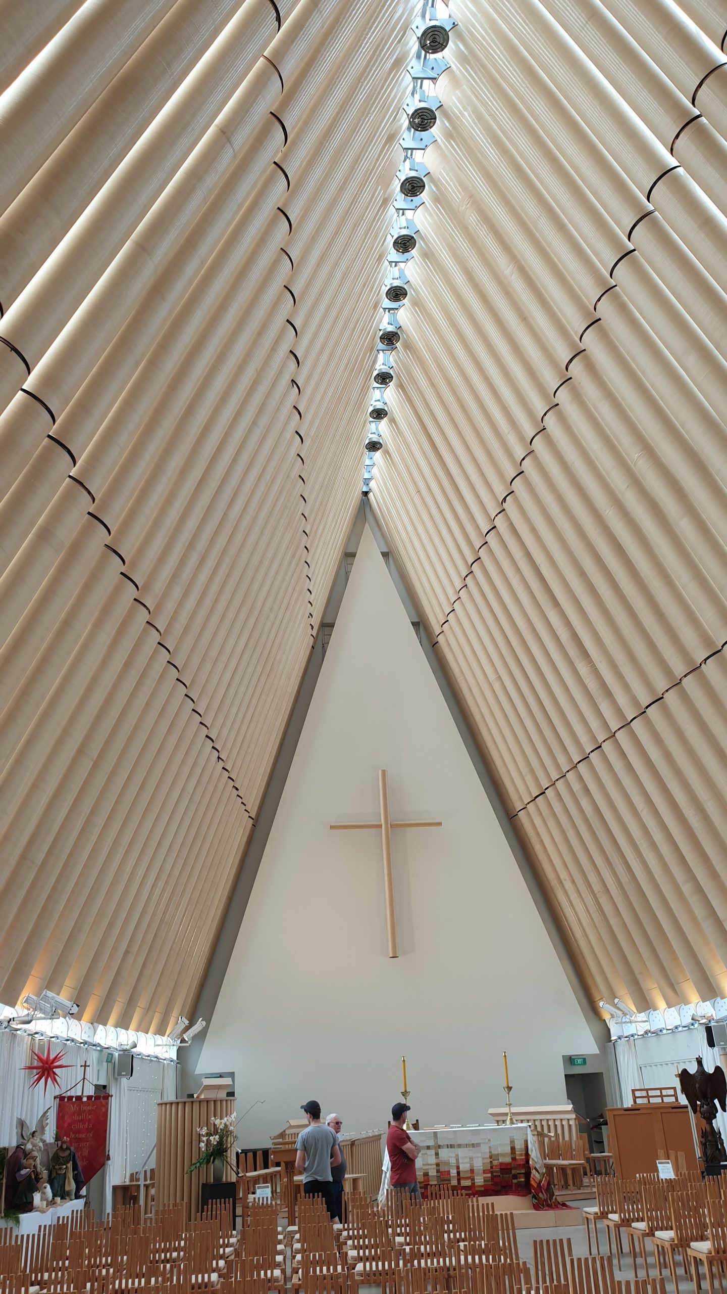
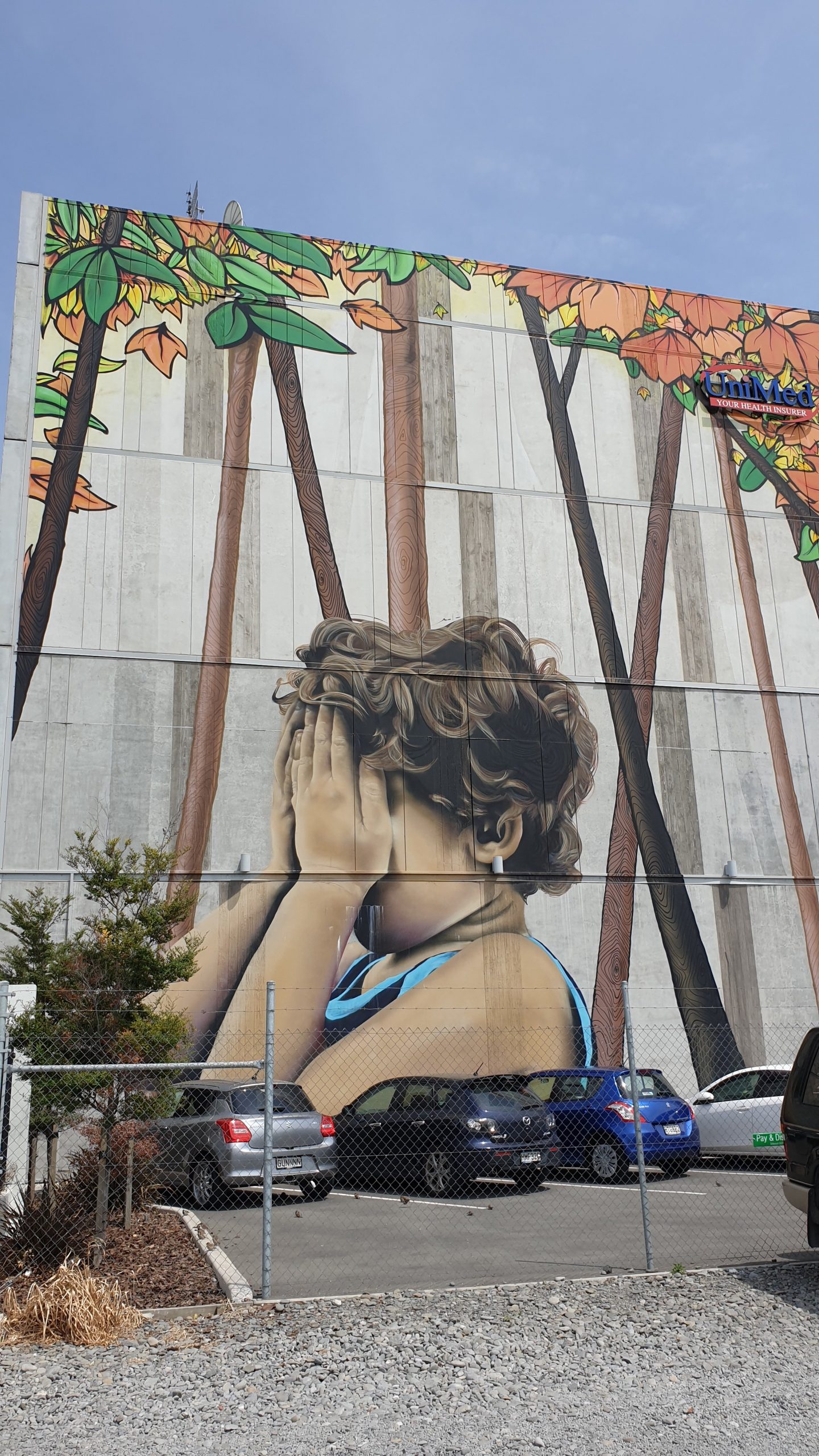
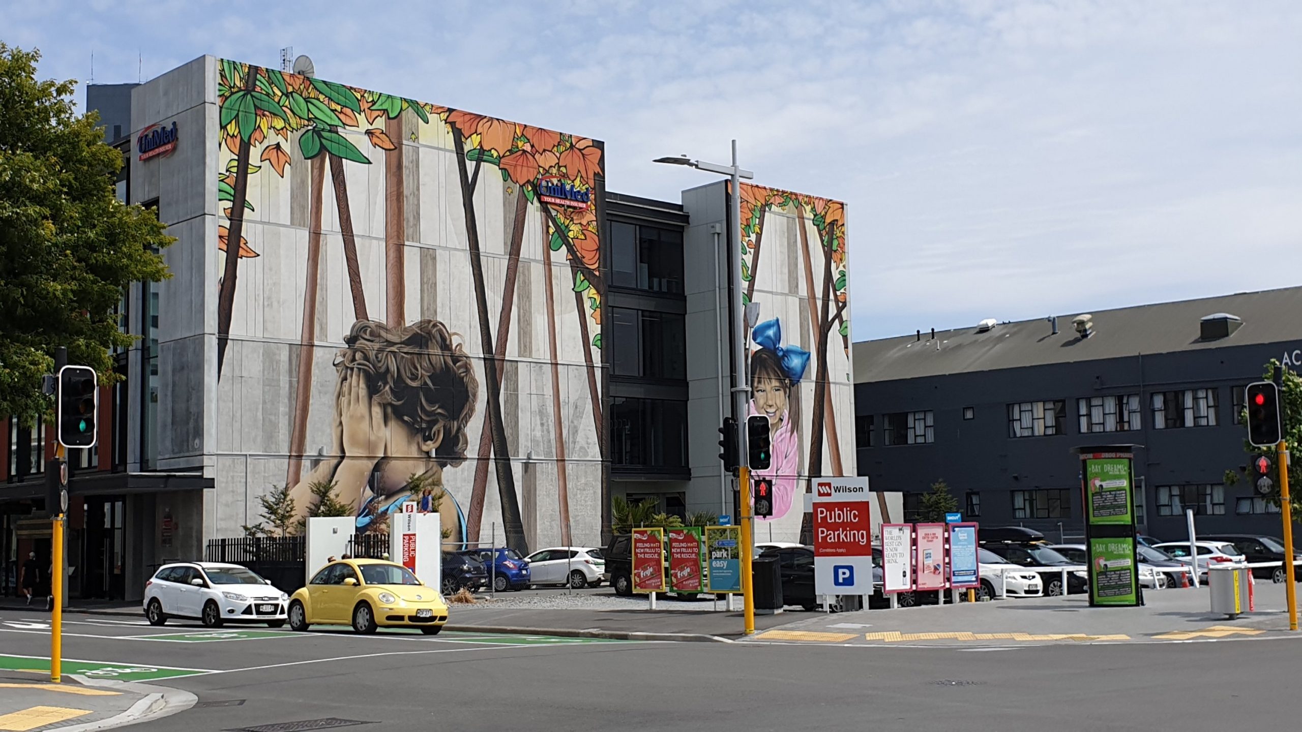

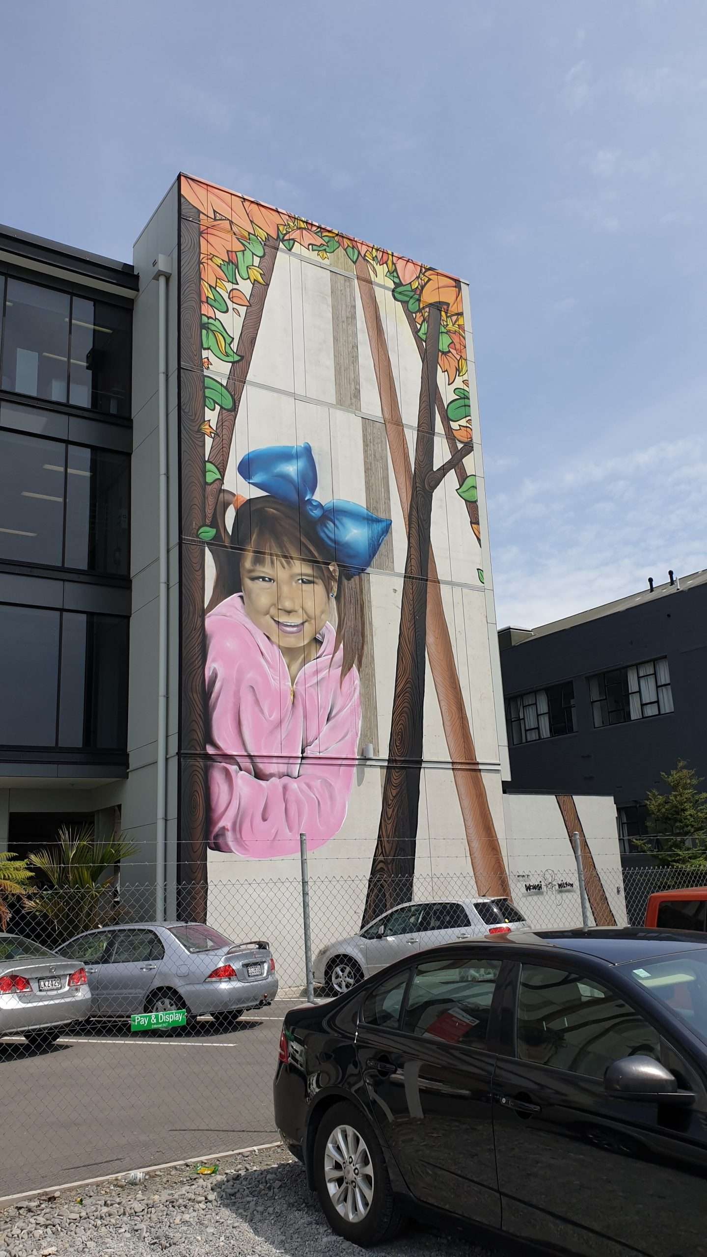
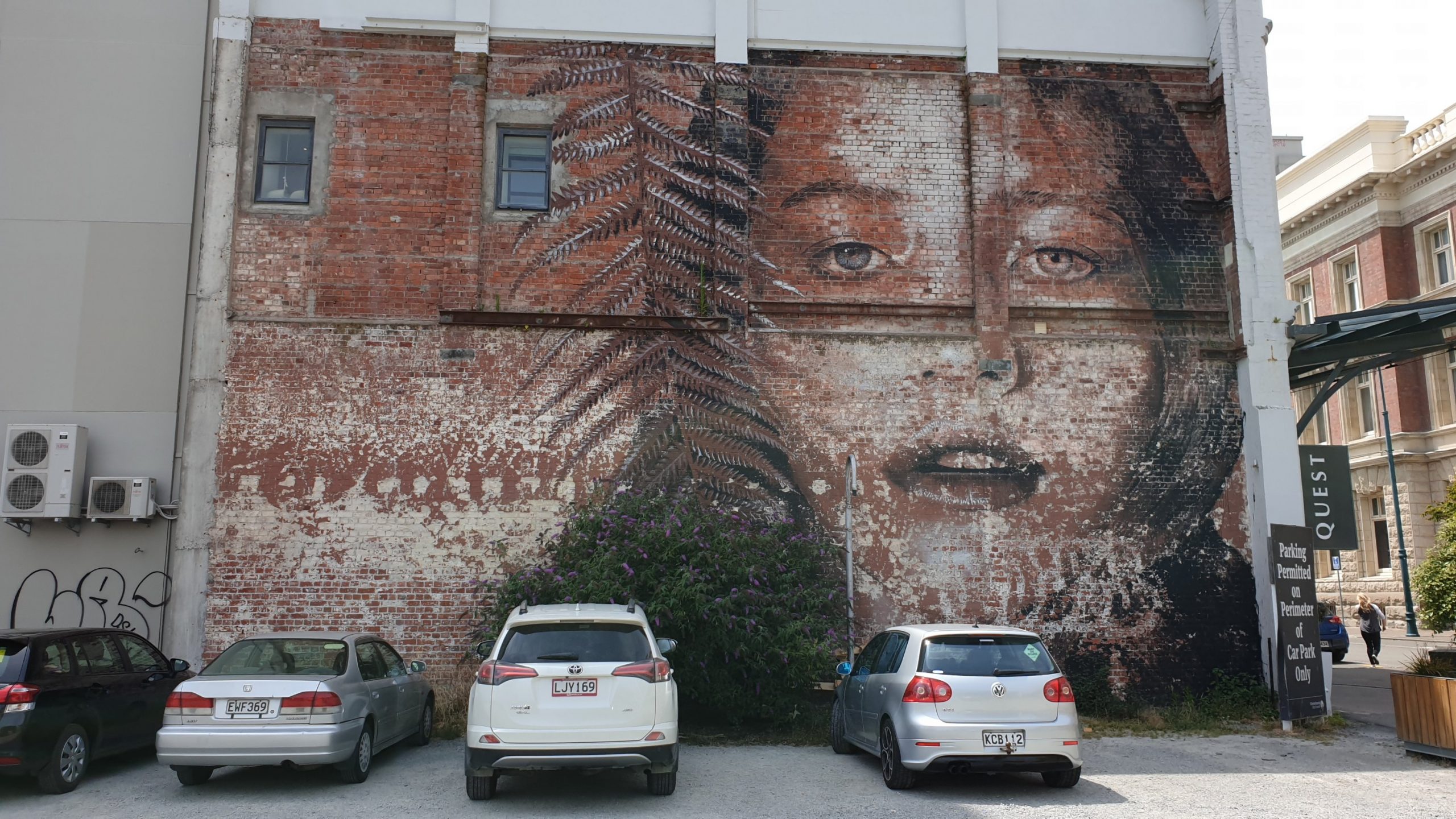
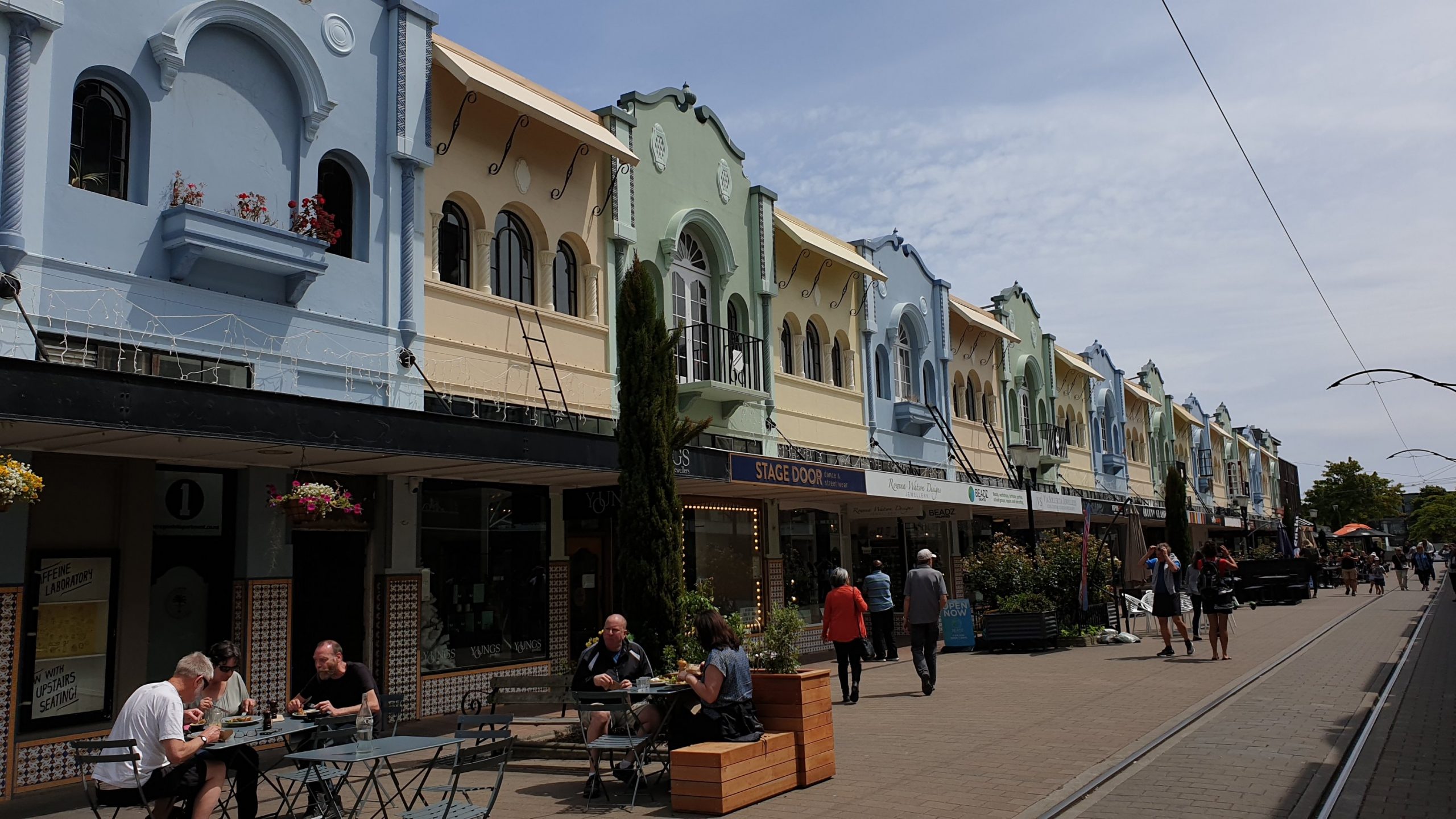

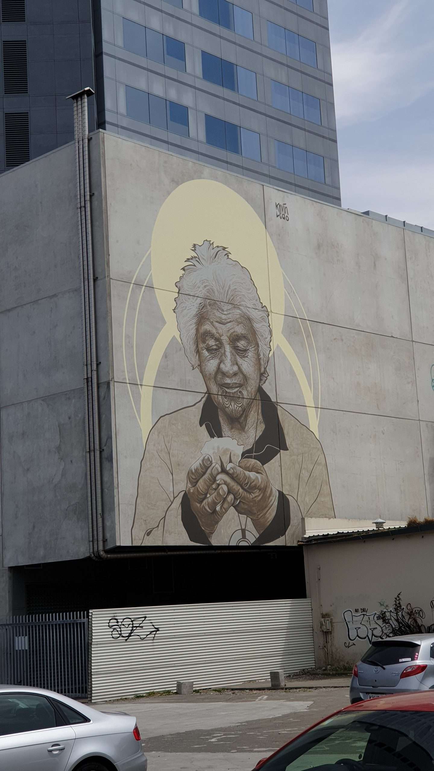

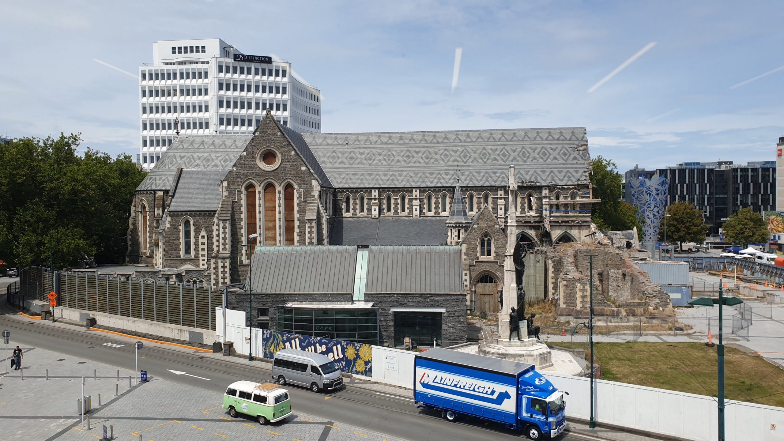

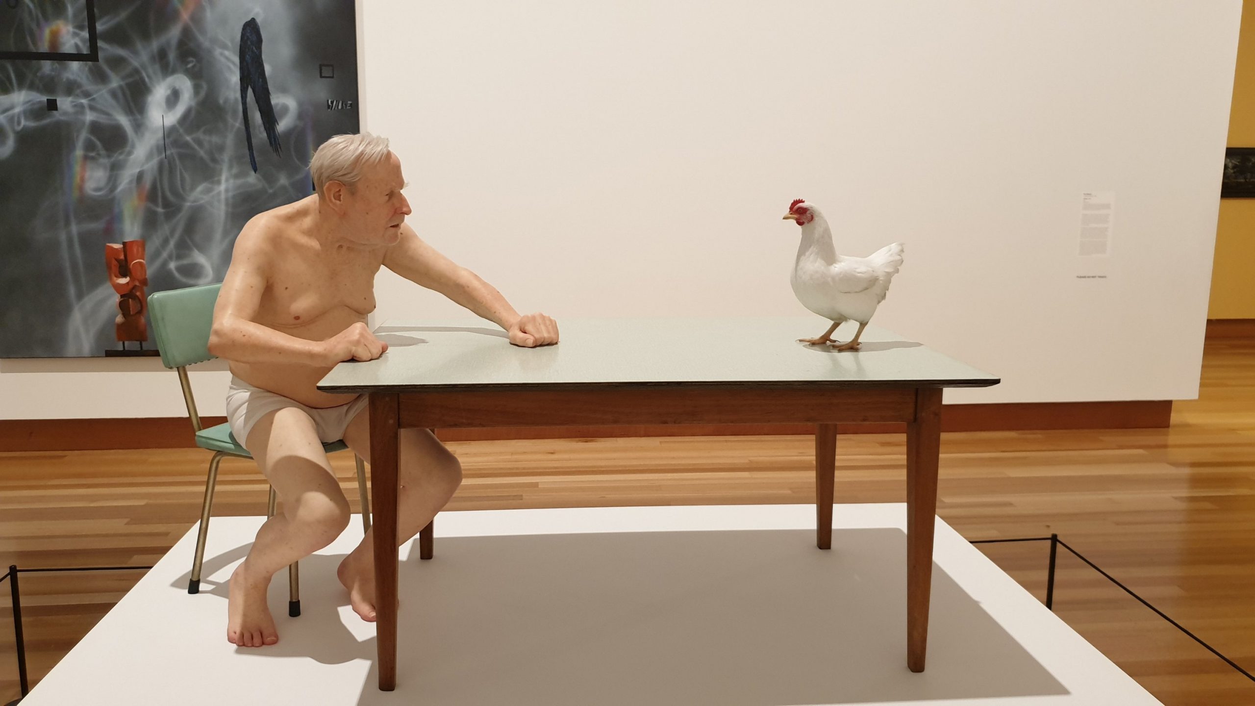
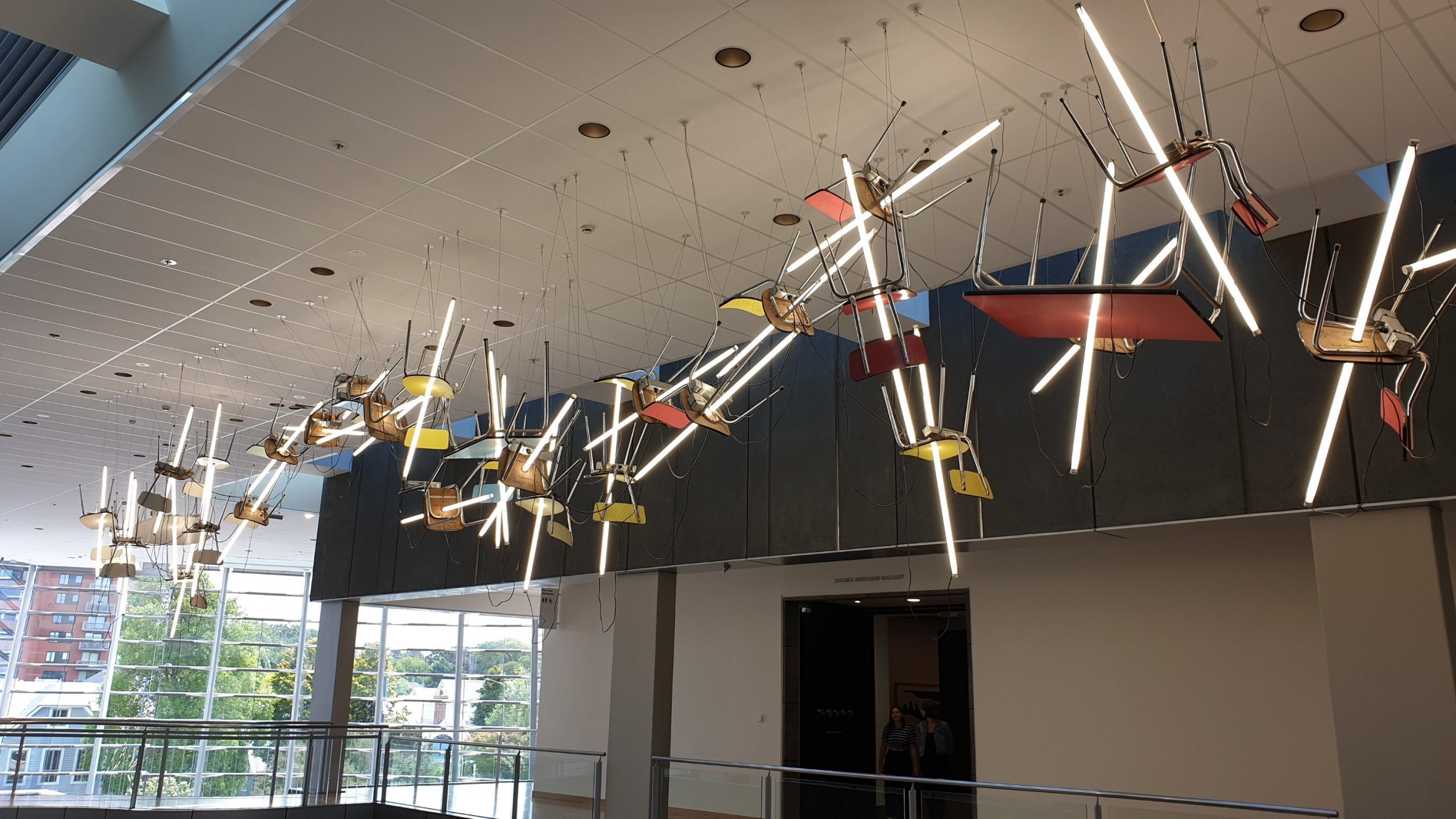
SUCH HUGE THANKS TO EVERYONE WHO HAD ME STAY, FED ME AND WATERED (READ CIDER) ME FOR THE LAST FEW WEEKS!!! YOU ARE FABULOUS!!!! So glad to catch up with everyone!!
Queen Charlotte Track
Day 69
27 December 2019
Km 17
Cumulative Km 777
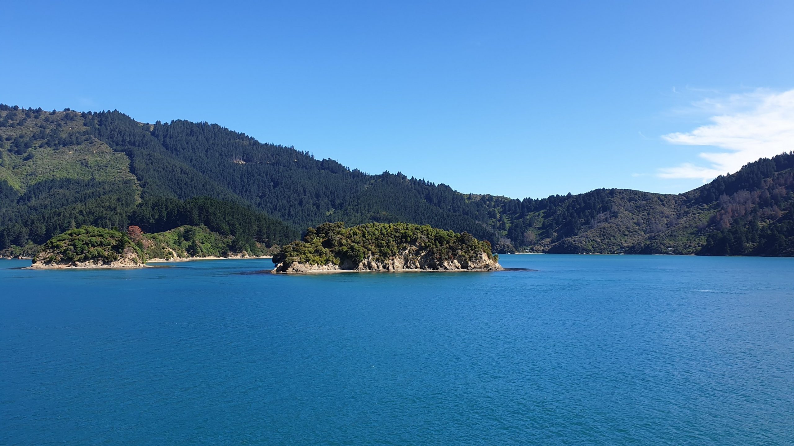
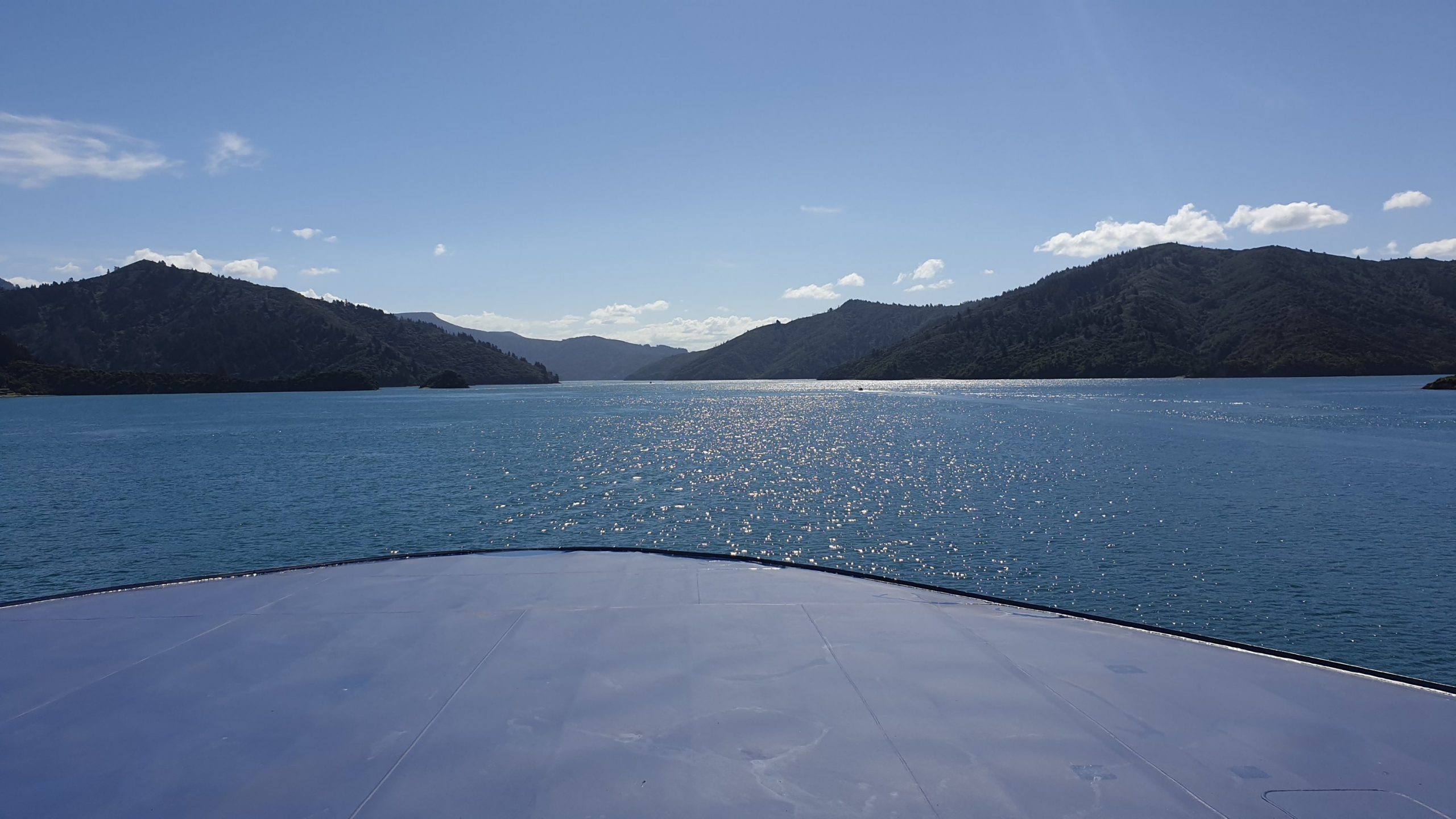
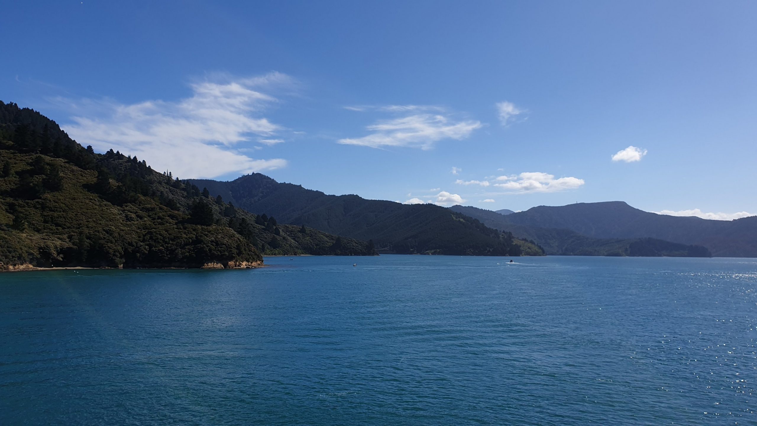
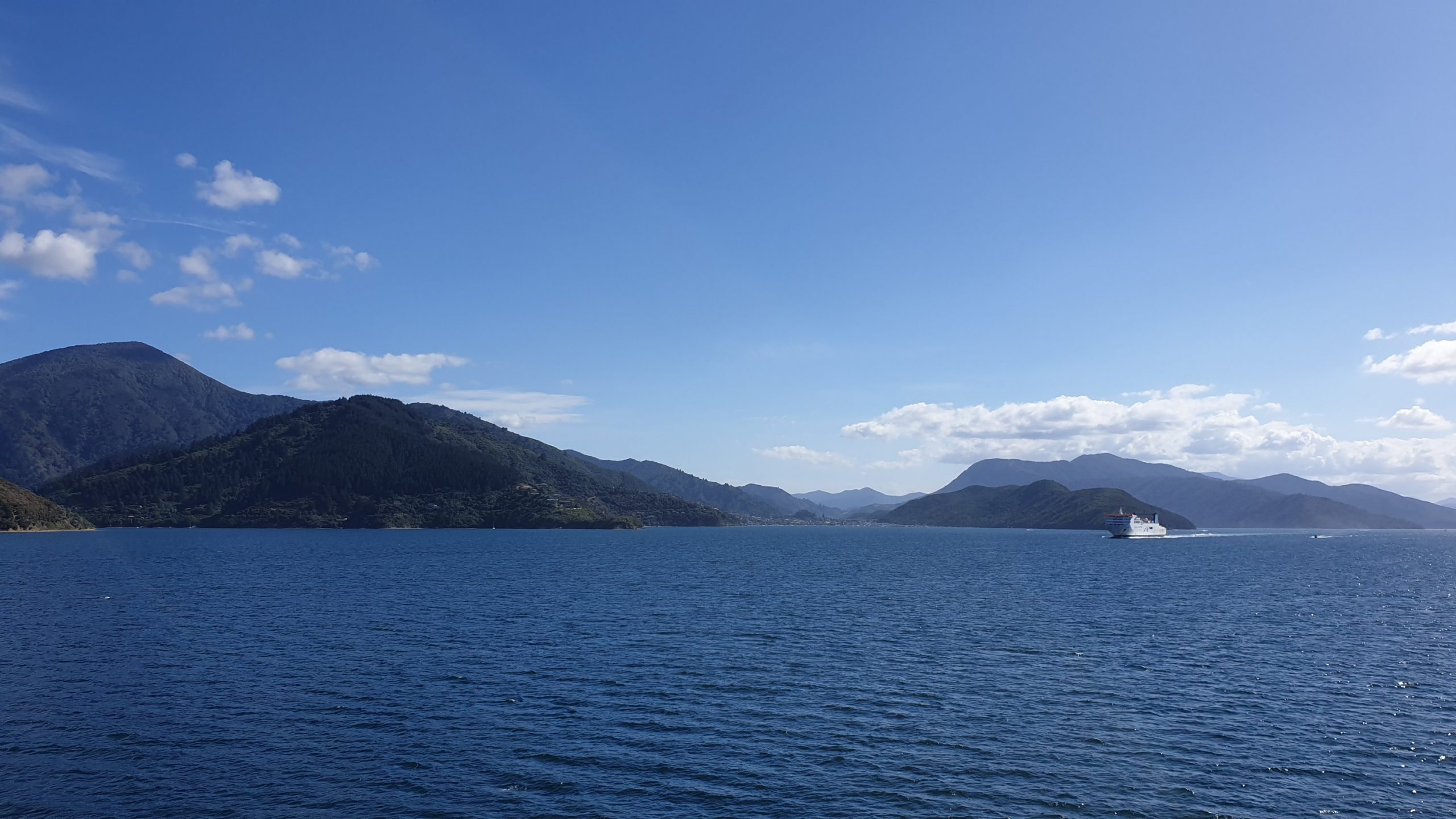
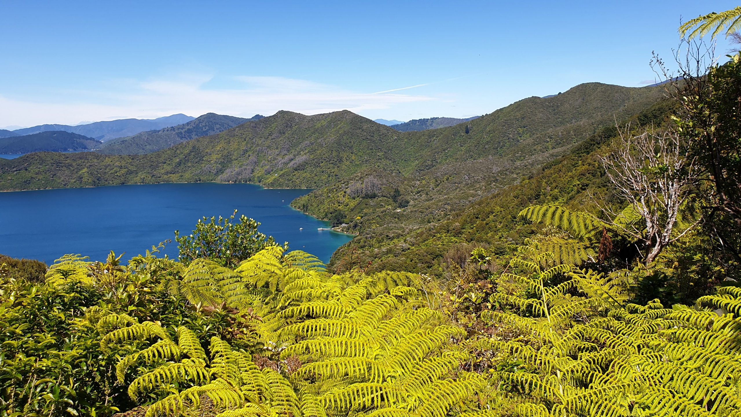
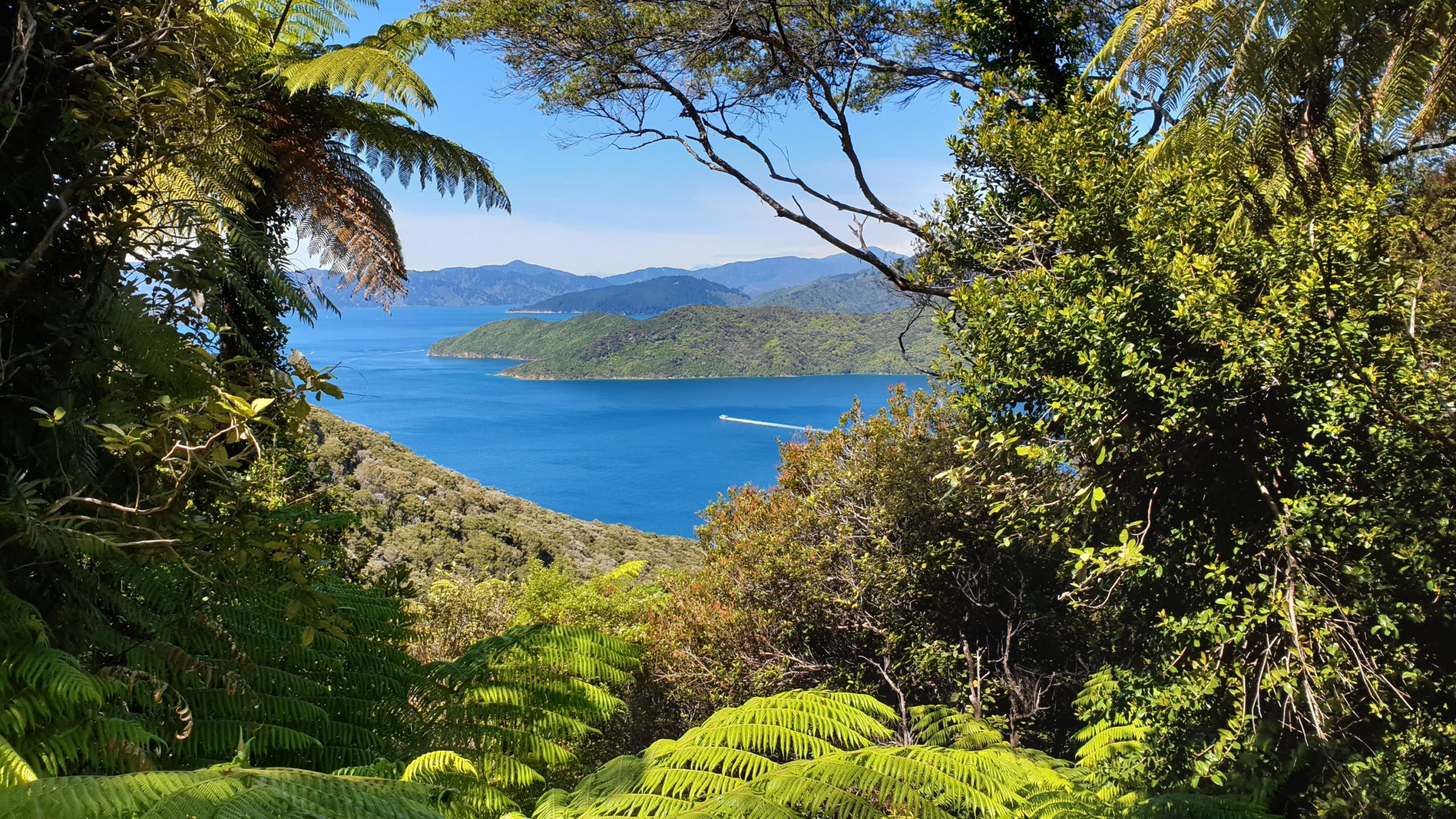
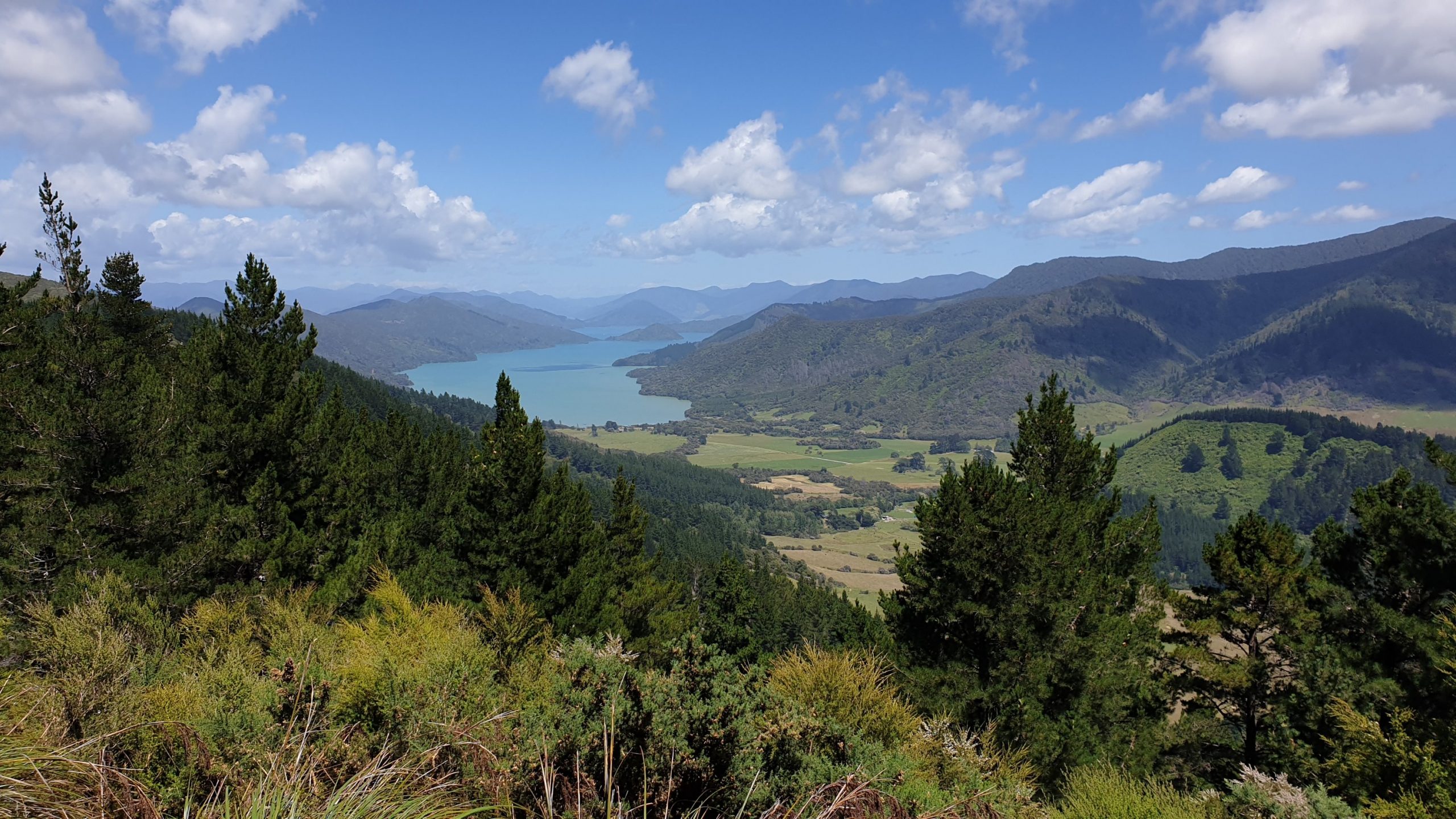
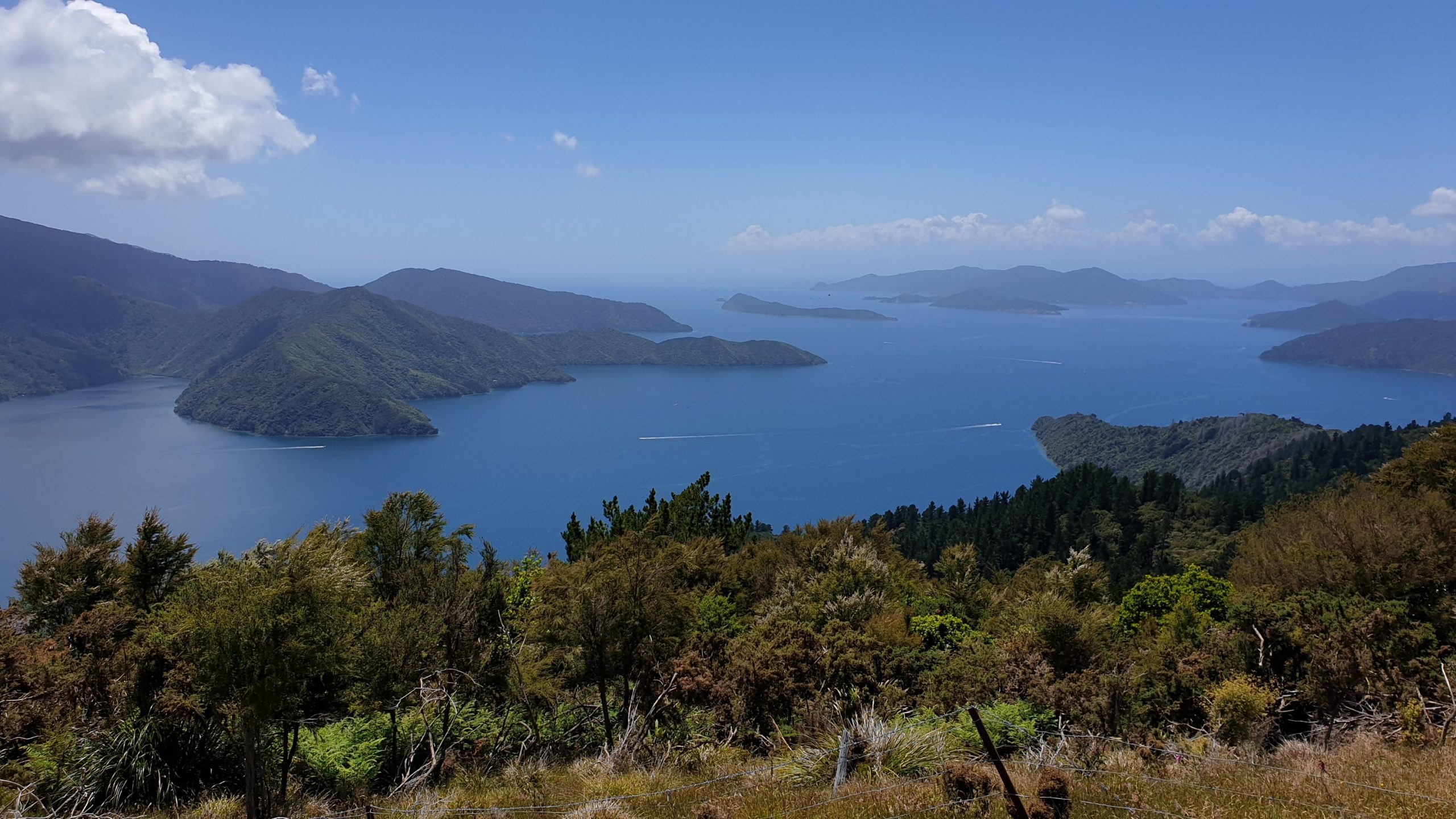
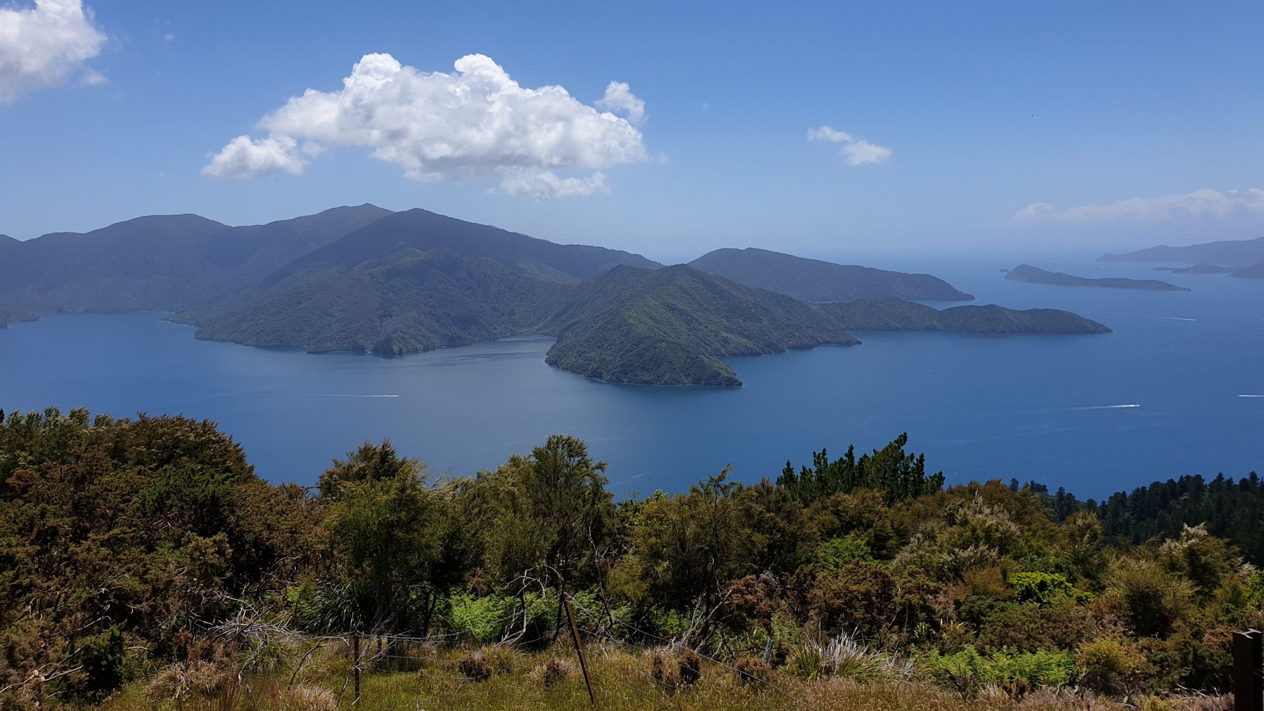
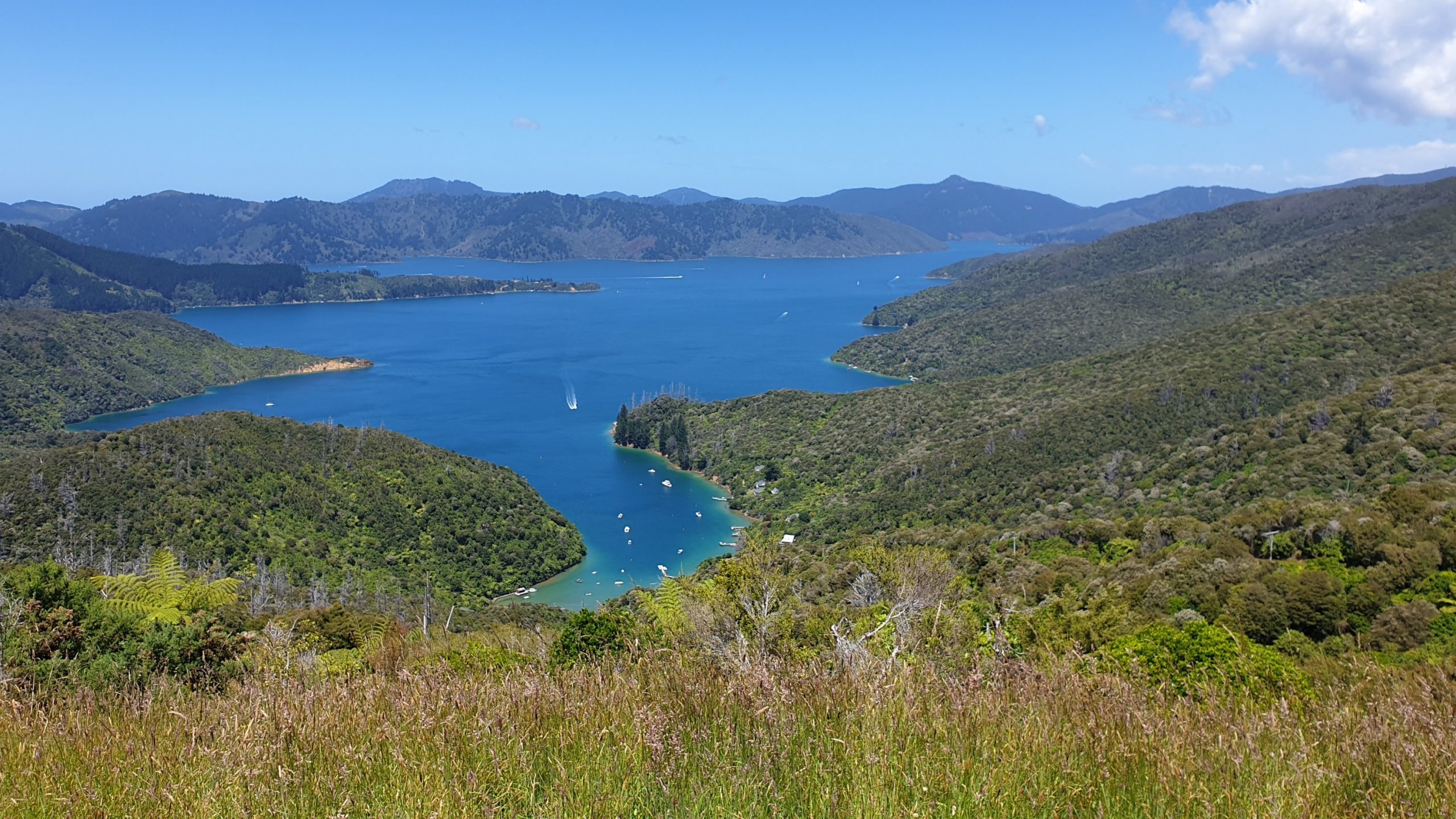
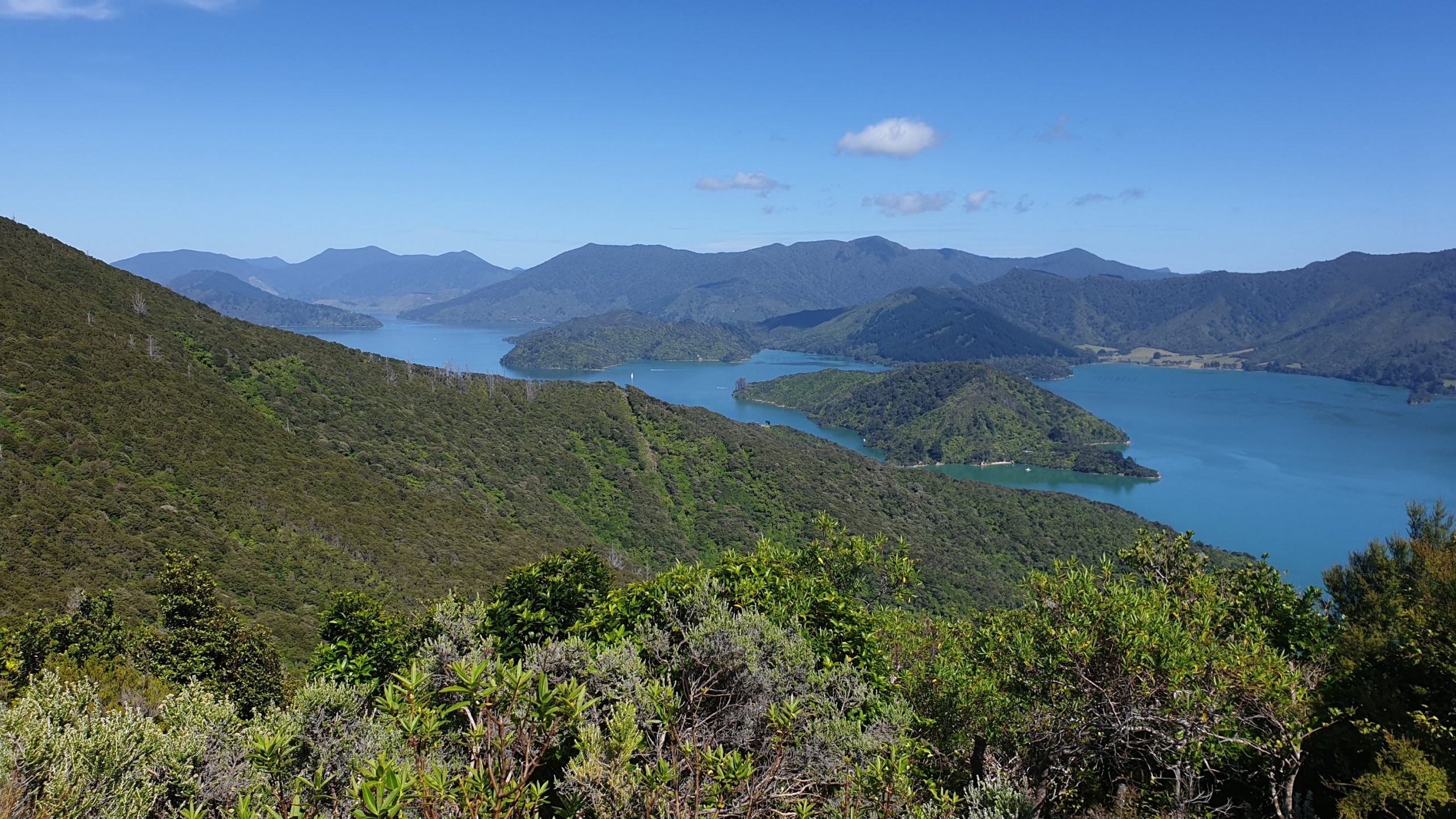
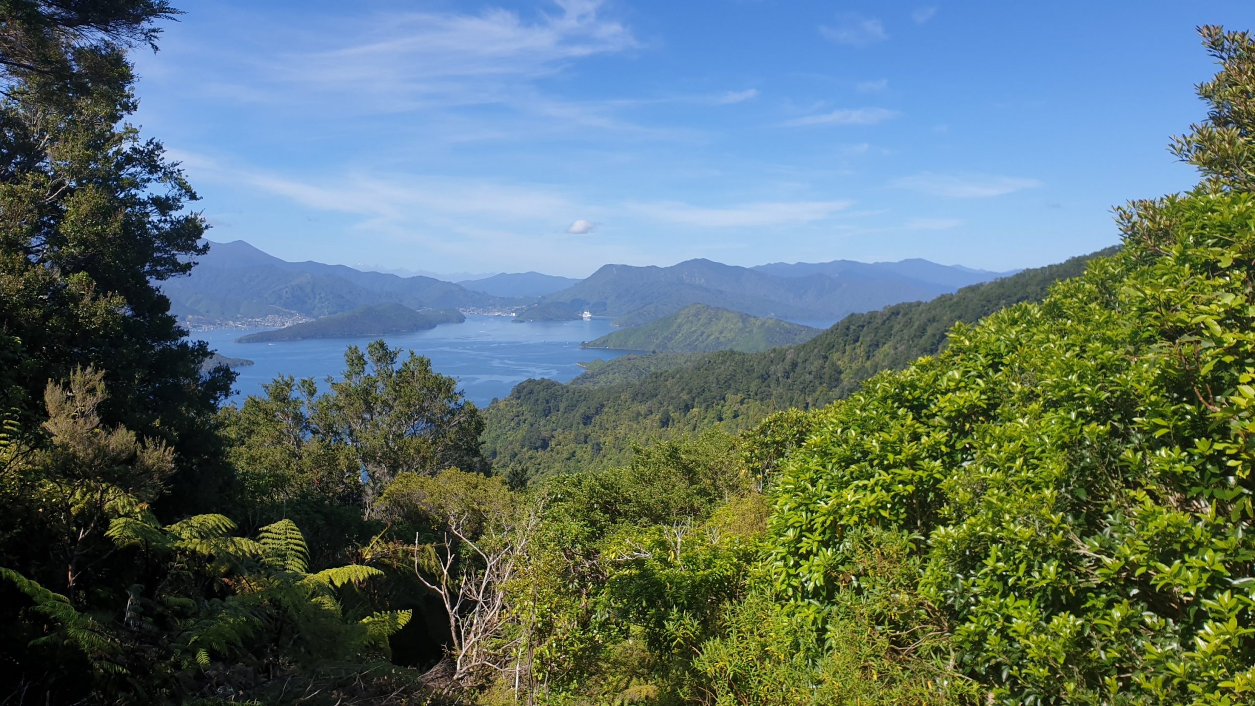
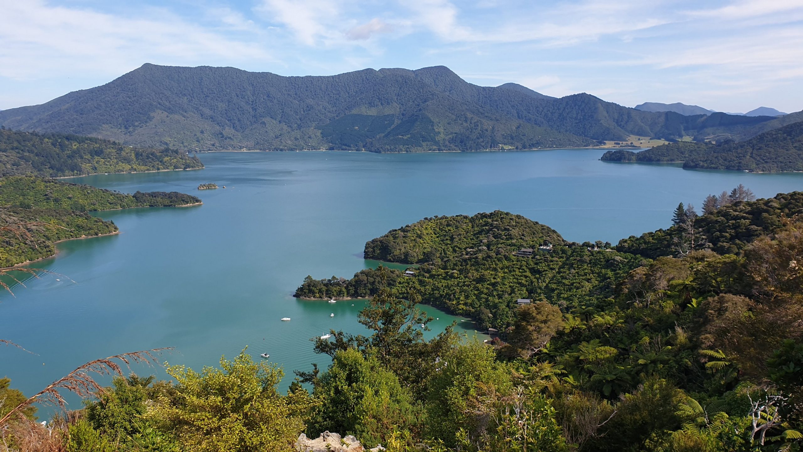
The ferry crossing from Wellington to Picton was as calm and tranquil as they come!! Super smooth sailing and an earlier than planned arrival. Coming into the sounds was also scenic.
The start of the Te Araroa Trail on the South Island is at Ship Cove, where the Queen Charlotte Track commences. To get here you need a water taxi from Picton, which I had booked a few days ago. The trip takes 1.5 hours and also includes some animal watching if you are lucky to spot any.
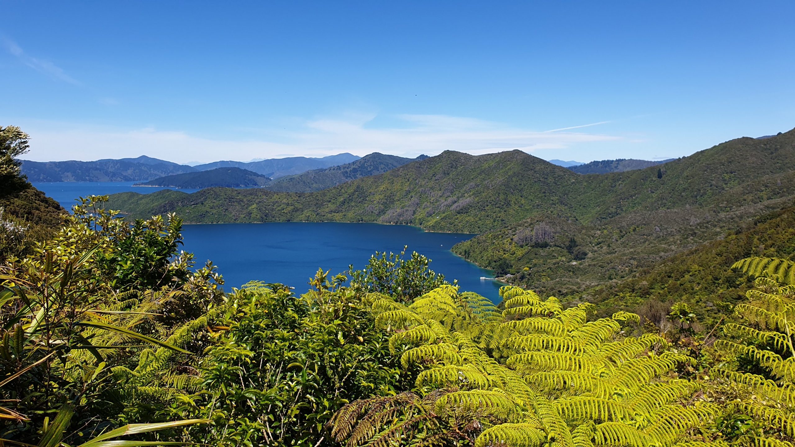
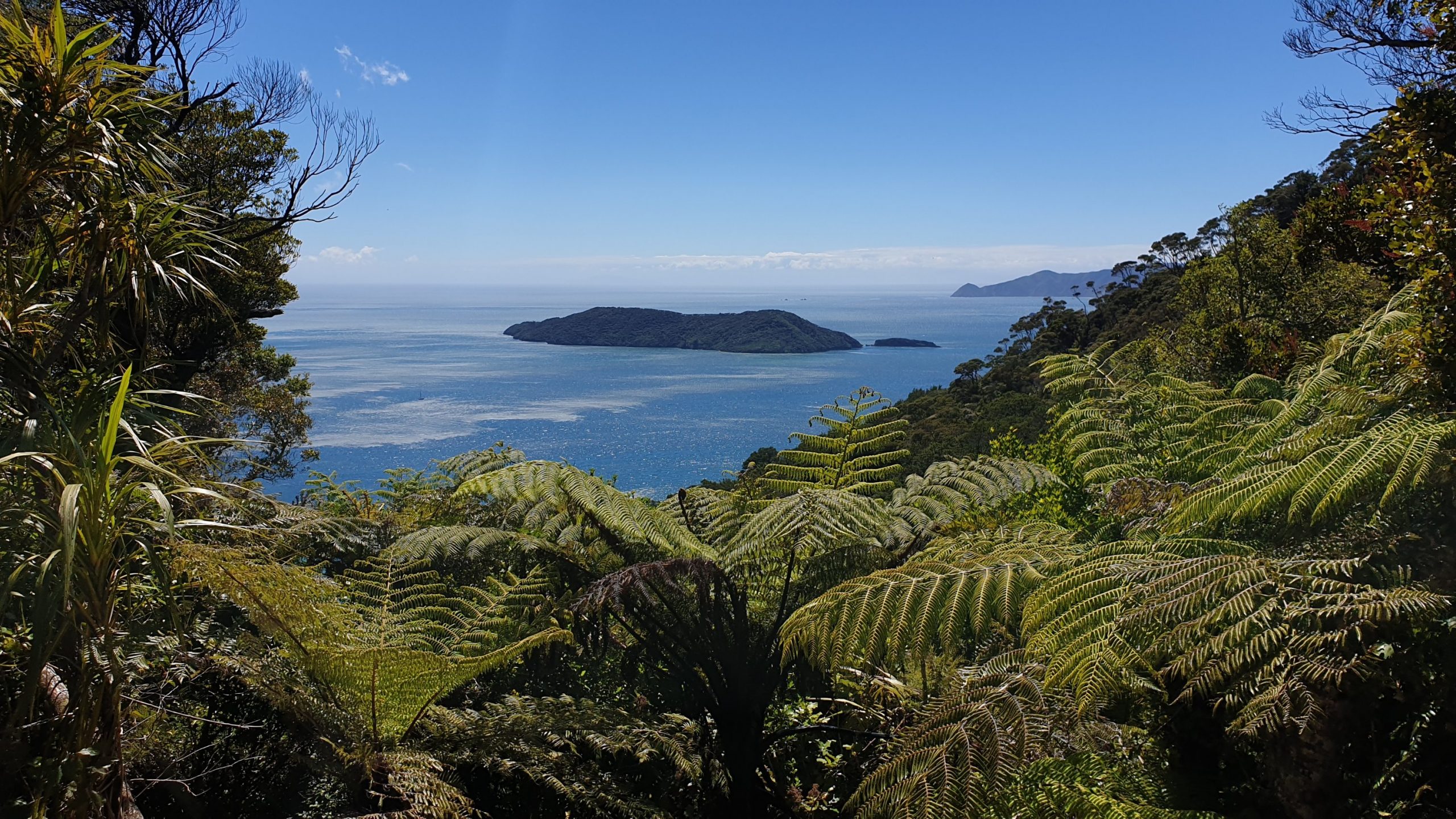
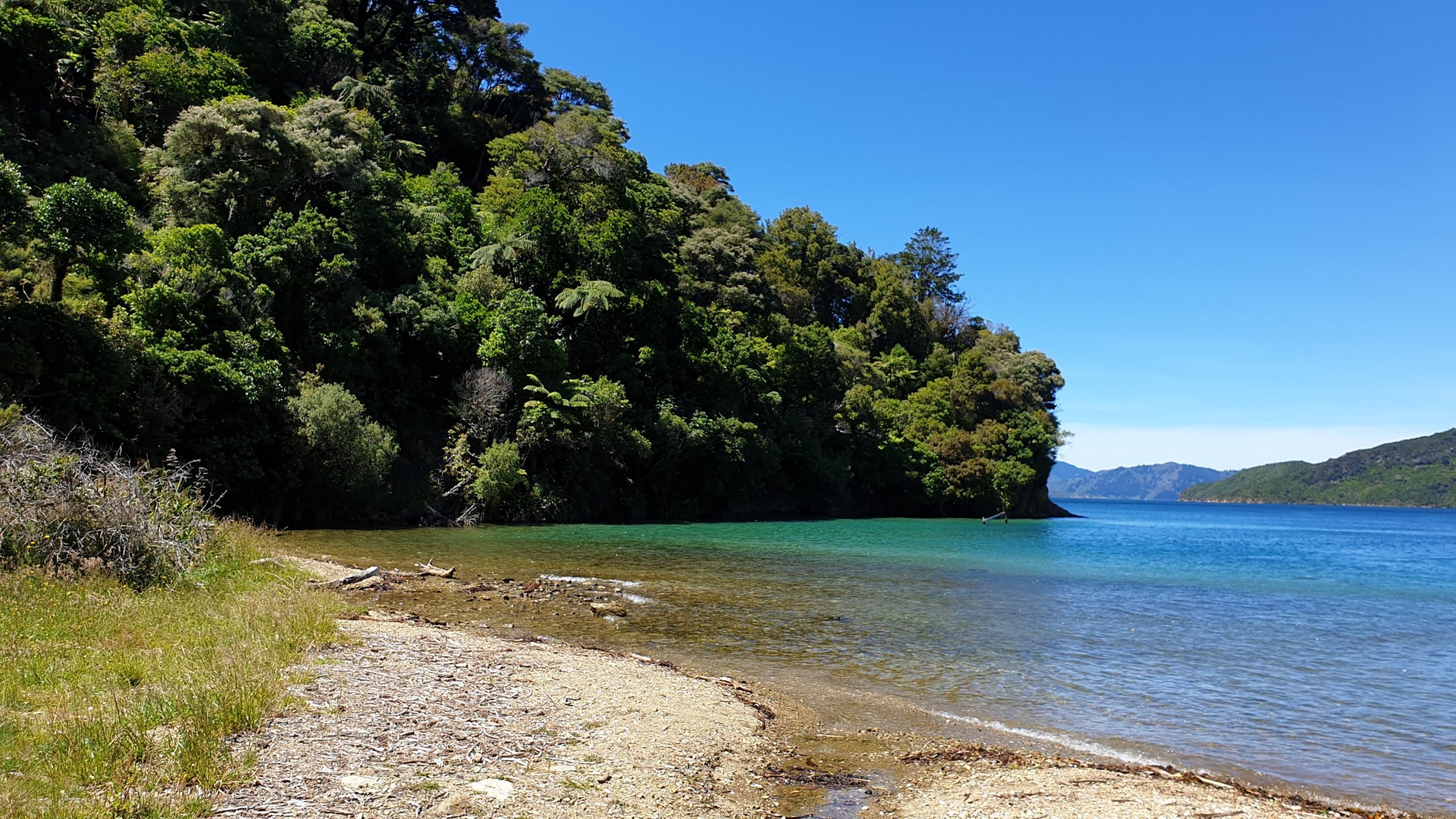
I started my first day on the South Island in the best weather possible and it was so clear that you could see mountains that would not normally be visible. This meant that you could also see the water in the sounds in their delightful range of colours.
The trail has recently been slightly rerouted after a major slip and made into a mountain bike track, so it is wide and without too much immediate change in gradient, which is nice.
I spent the night at Miners Camp. It is at the start of a track that goes to the old antimony mines in the area. I didn’t do the trail though.
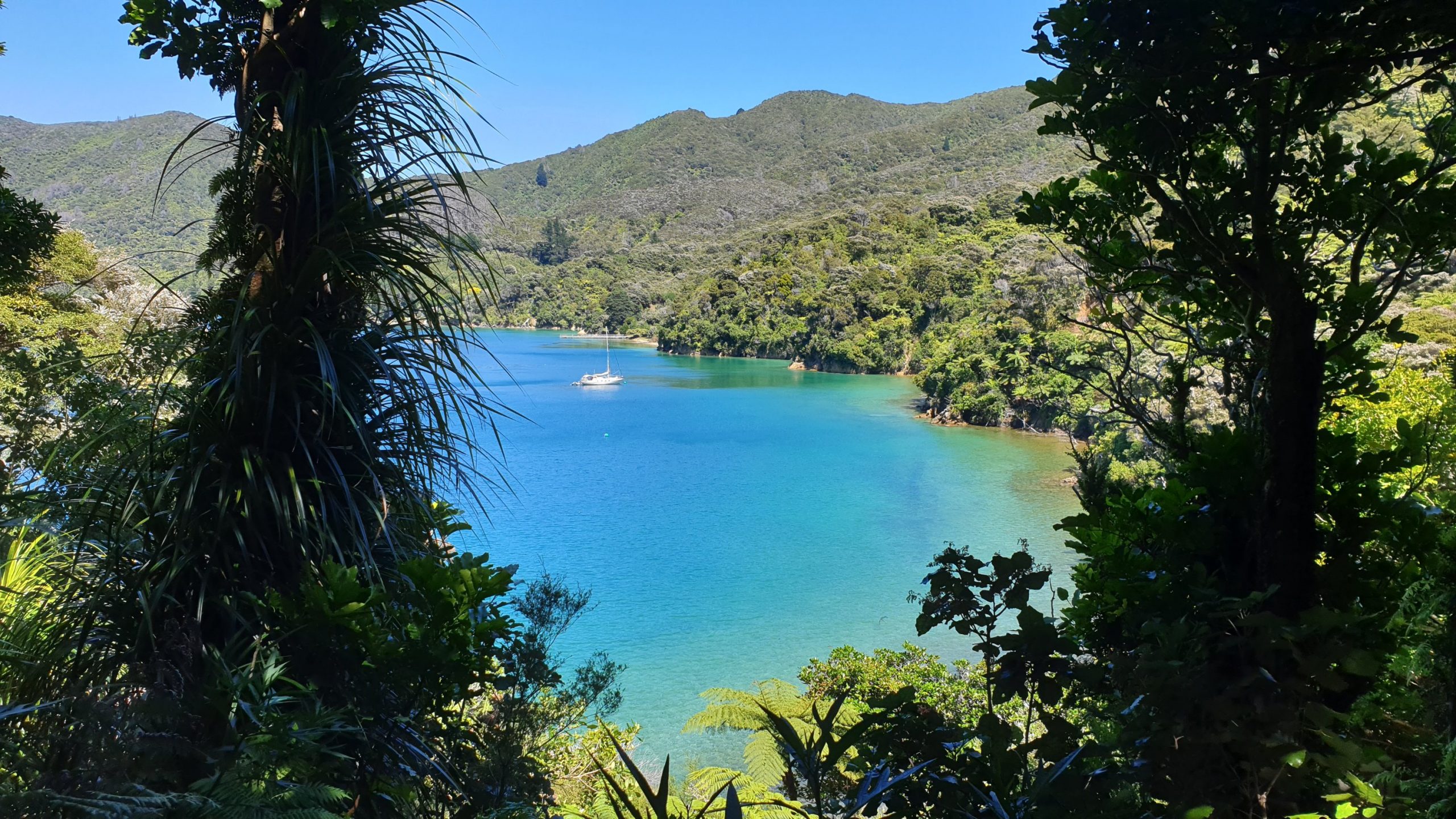
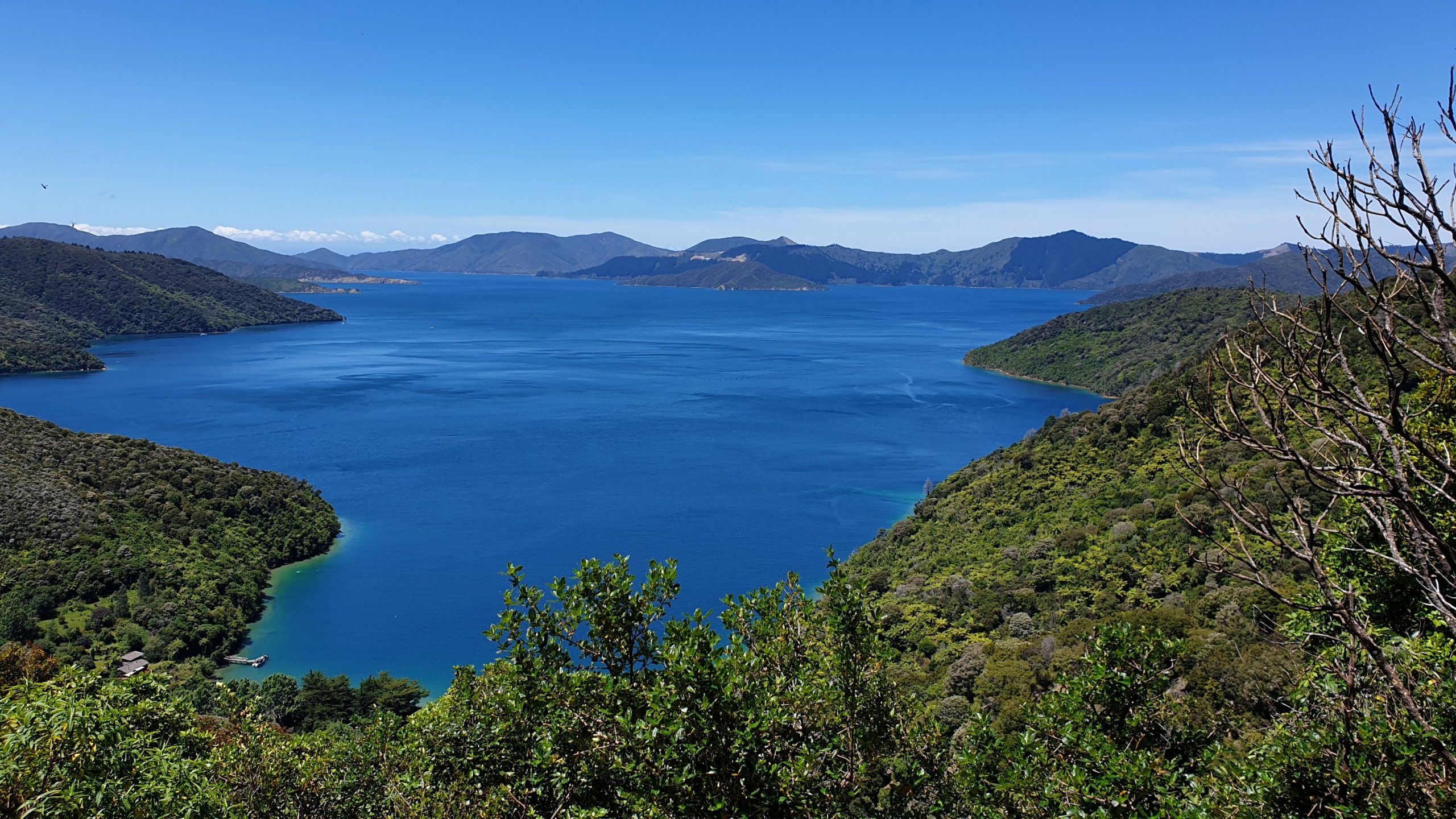
Day 70
Km 20
Cumulative Km 797
I decided to detour to the Camp Bay campsite, and beyond to Punga Cove resort for a morning coffee. The coffee and view was lovely and for $5 a fair price for out here. There was also WIFI.
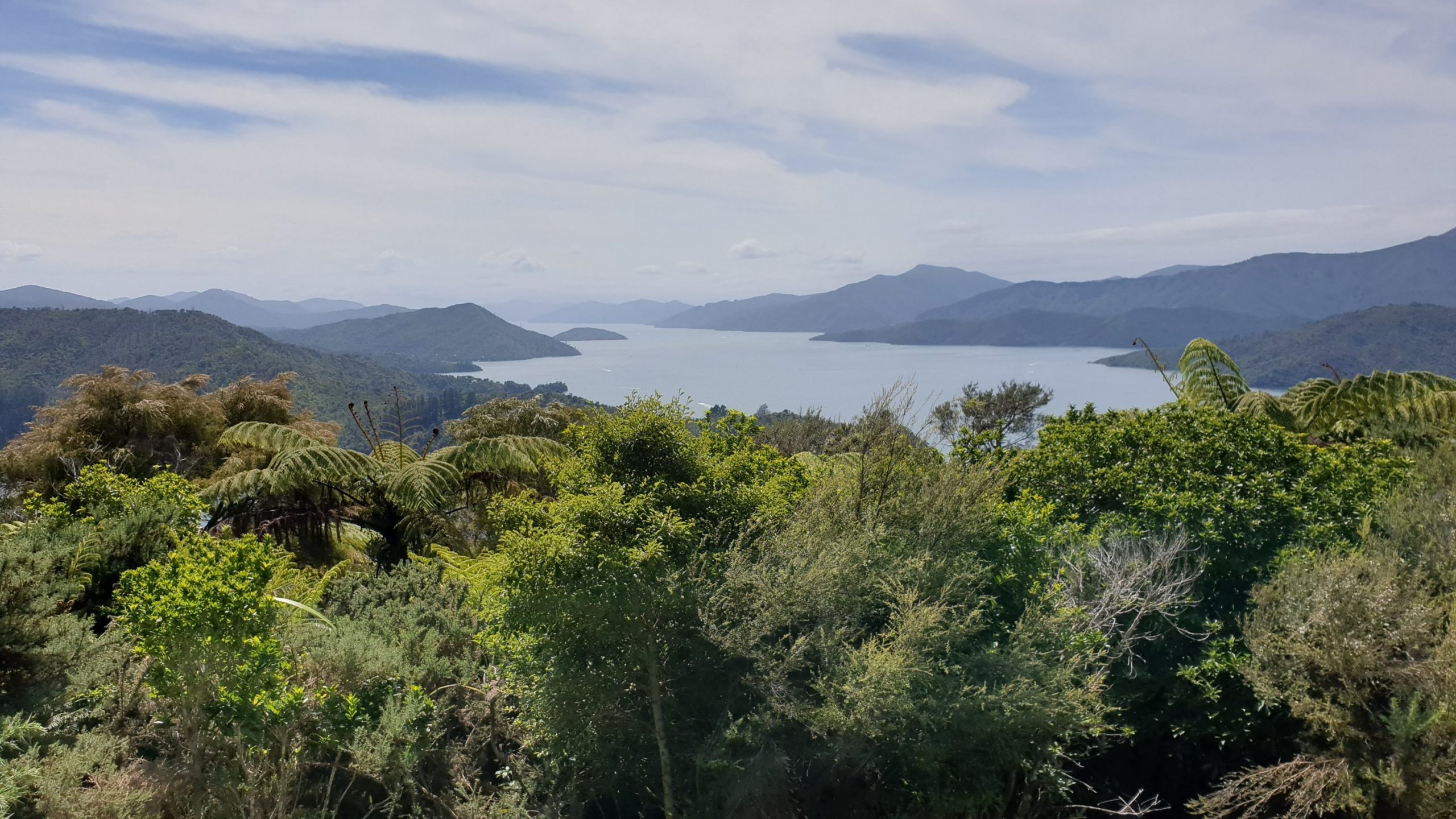
With more great views the highlight of the day would definitely be the side trip to Eatwells Lookout. The view is over the whole sound where we have been walking and also into Kenepuru Sound.
With the sunny weather it’s nice that the trail has mostly been in the forest, so its shady most of the time.
I got to the Bay of Many Coves campsite just before 2pm.
There weren’t many of us to start with, but by early evening the place was packed, and there were tents surrounding me 😥
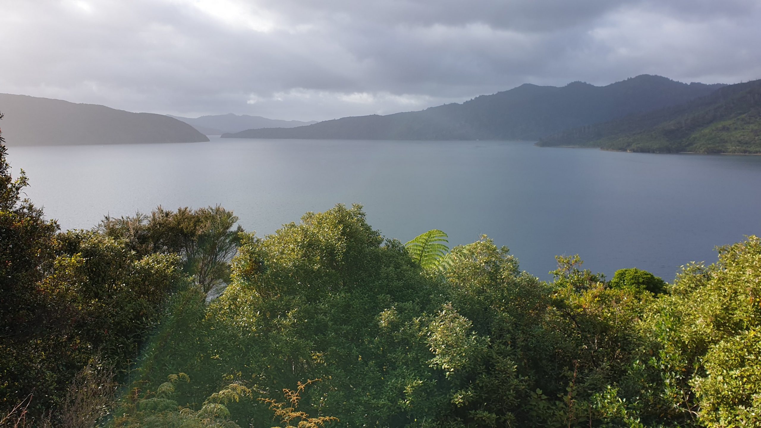
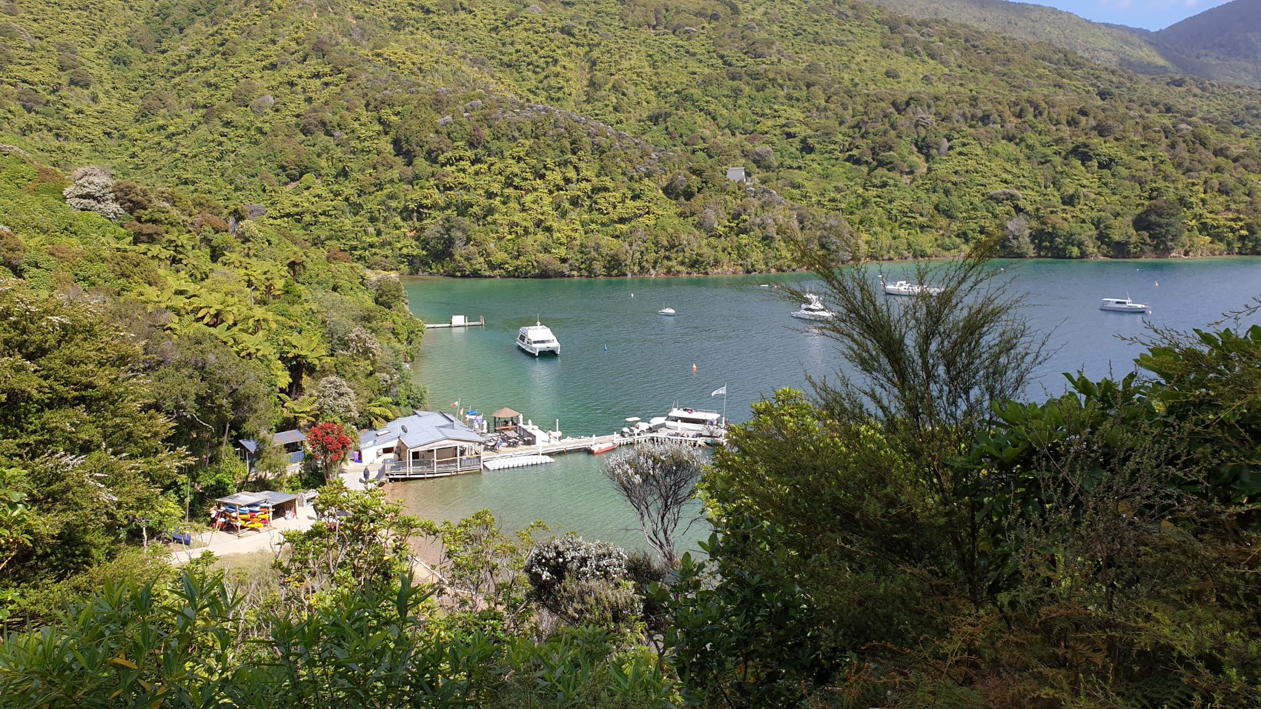
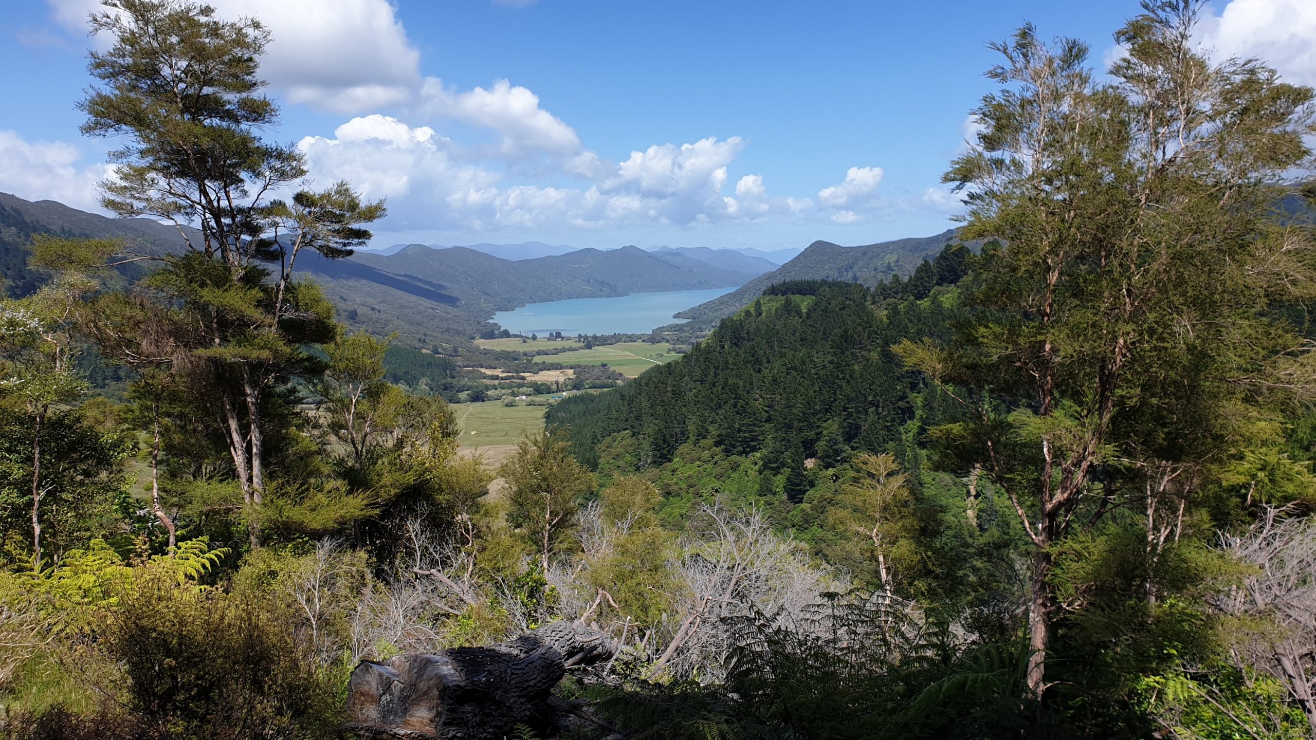
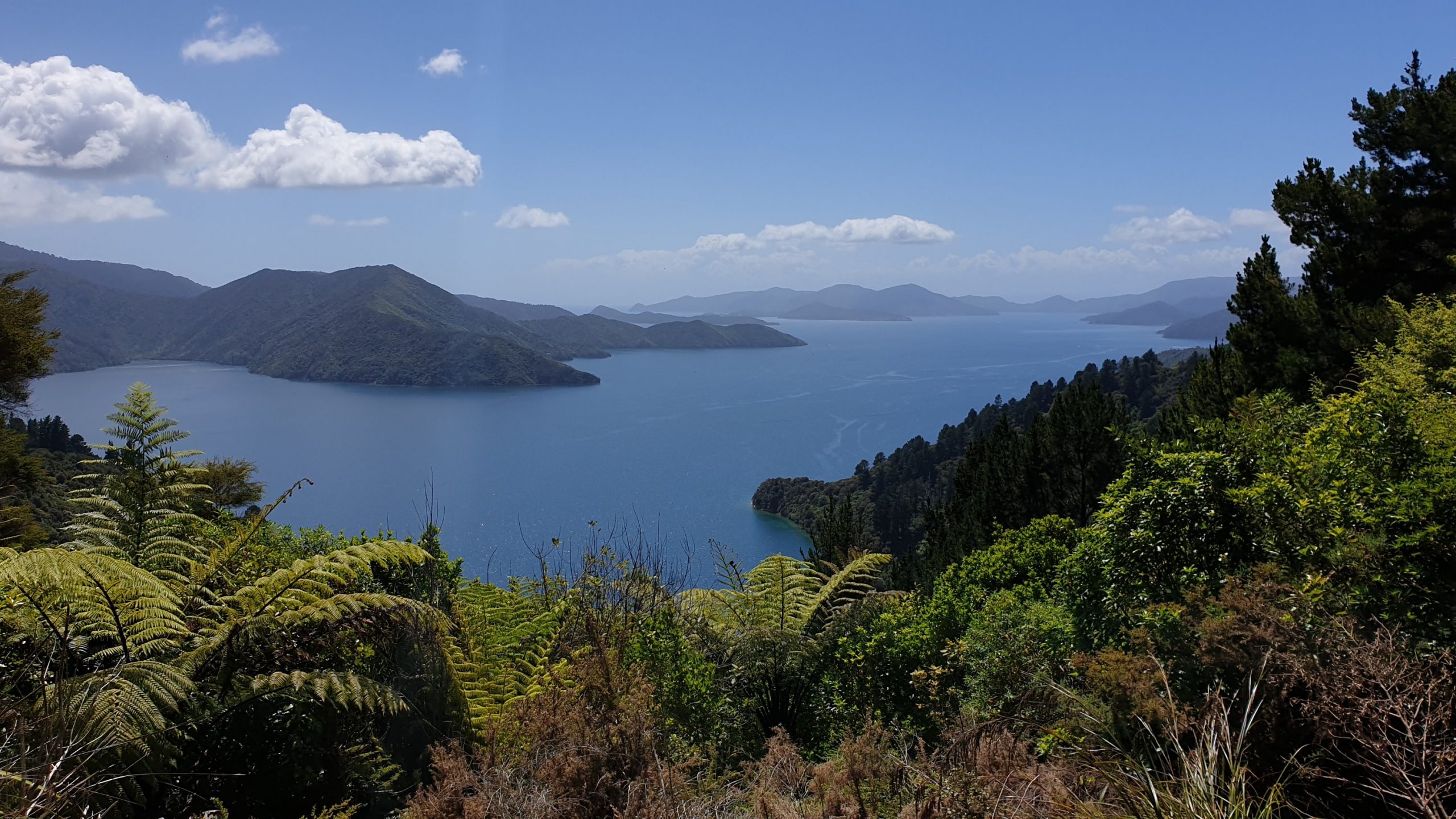
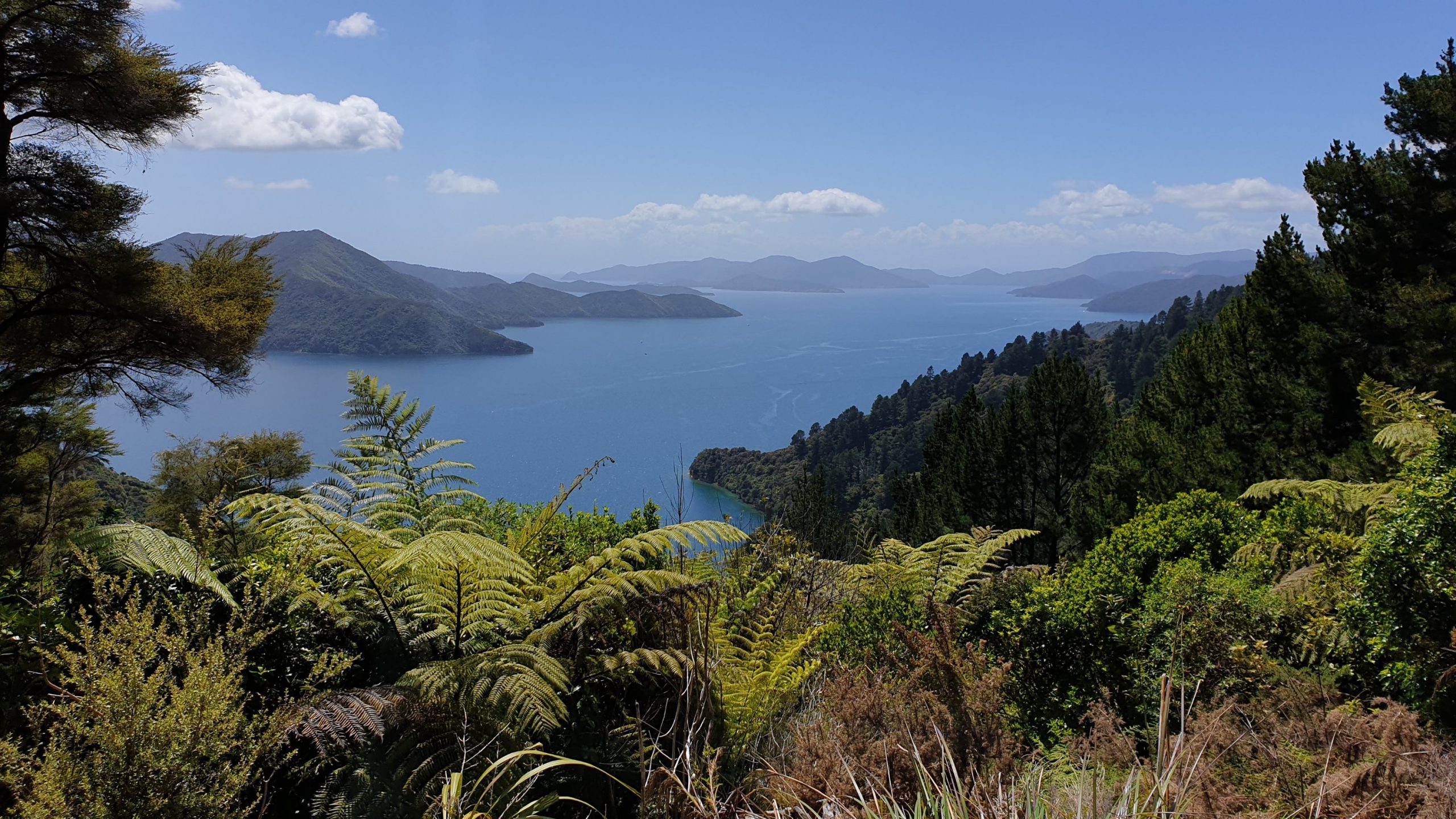
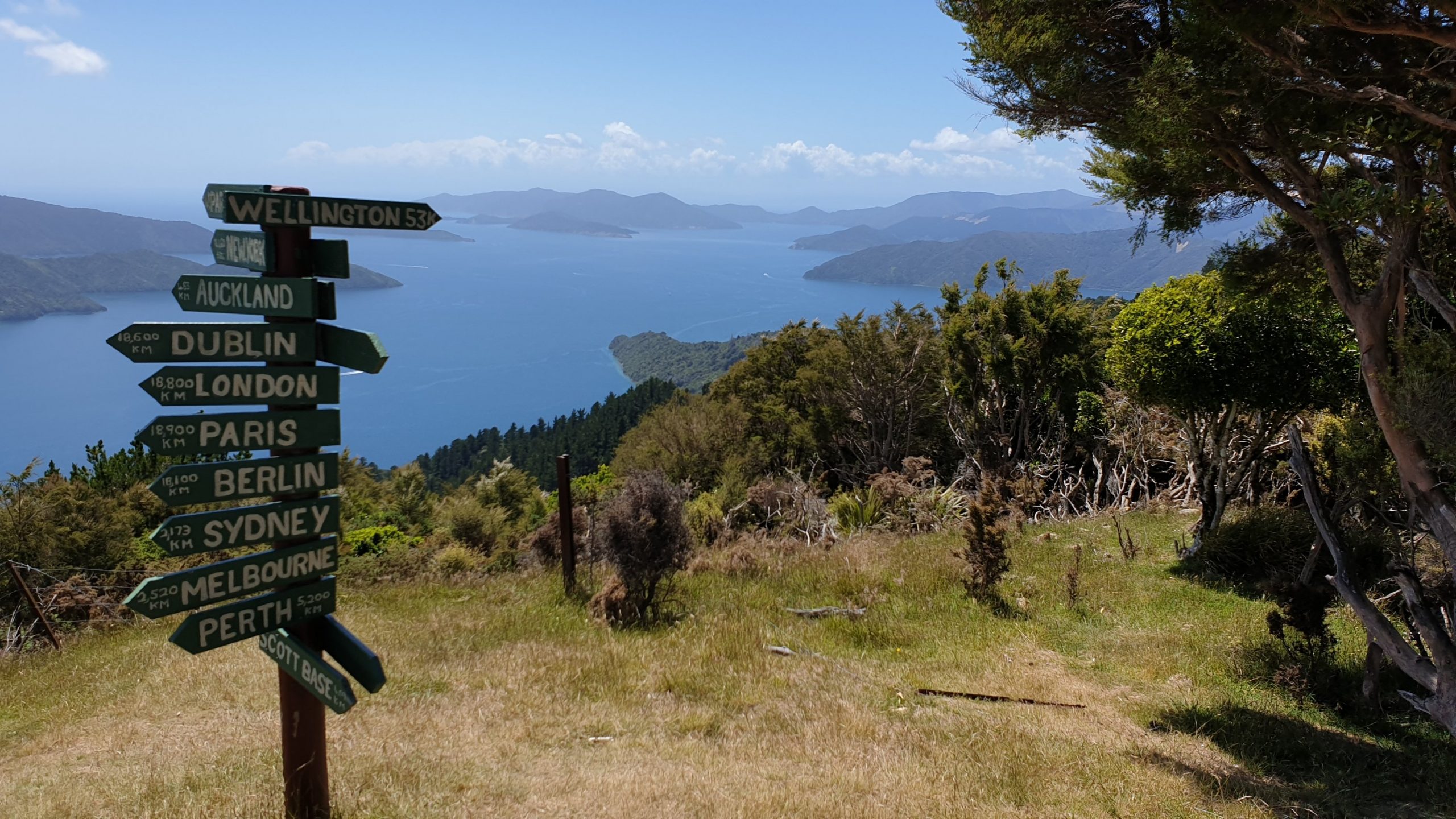
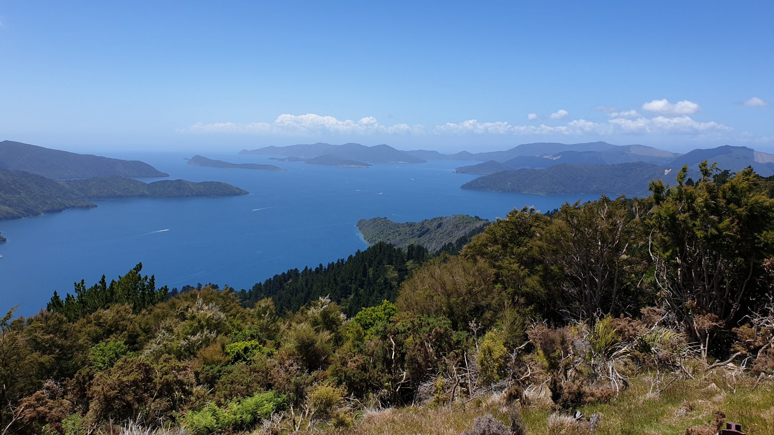
Day 71
Km 16
Cumulative Km 813
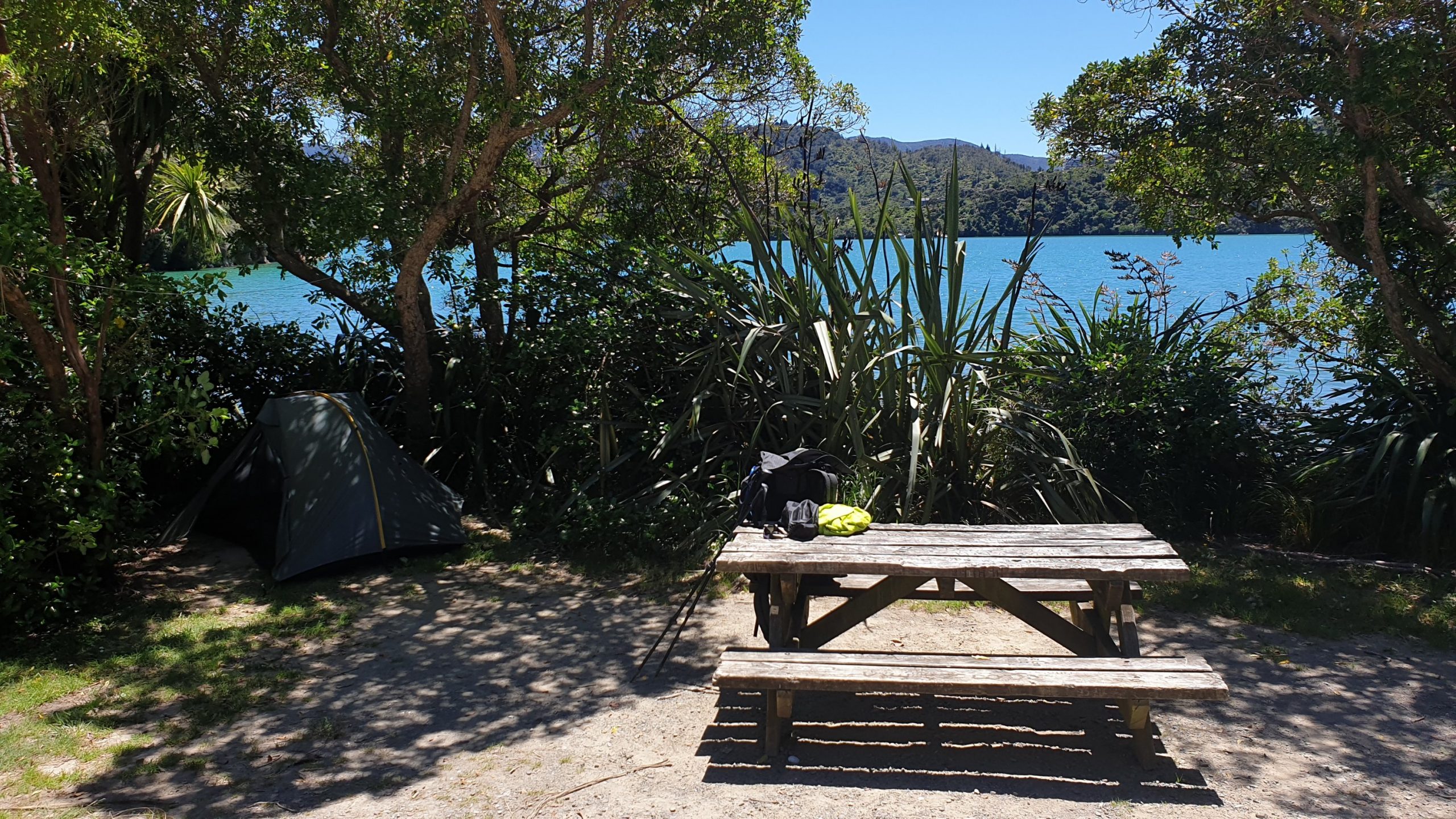
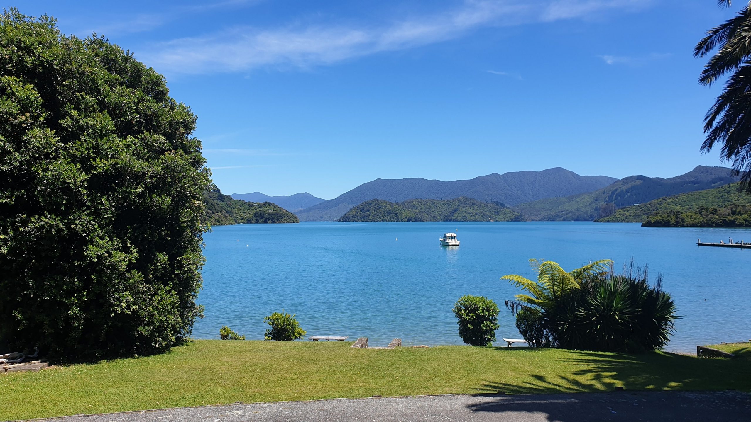
The day wasn’t going to be a long one, in terms of hiking. Just 5 hours. So I got into Portage, a tiny village just in time for a fish, chips, salad, cider and ice cream. I then walked down to the Cowshed Bay Campsite, which is right on the water and picked and nice spot in the trees and settled in for a quiet night.
However this was not going to be the case, as this site is accessible by road there were lots of camper vans and a family of four decided to park their campsite 1m away from me 😬😡
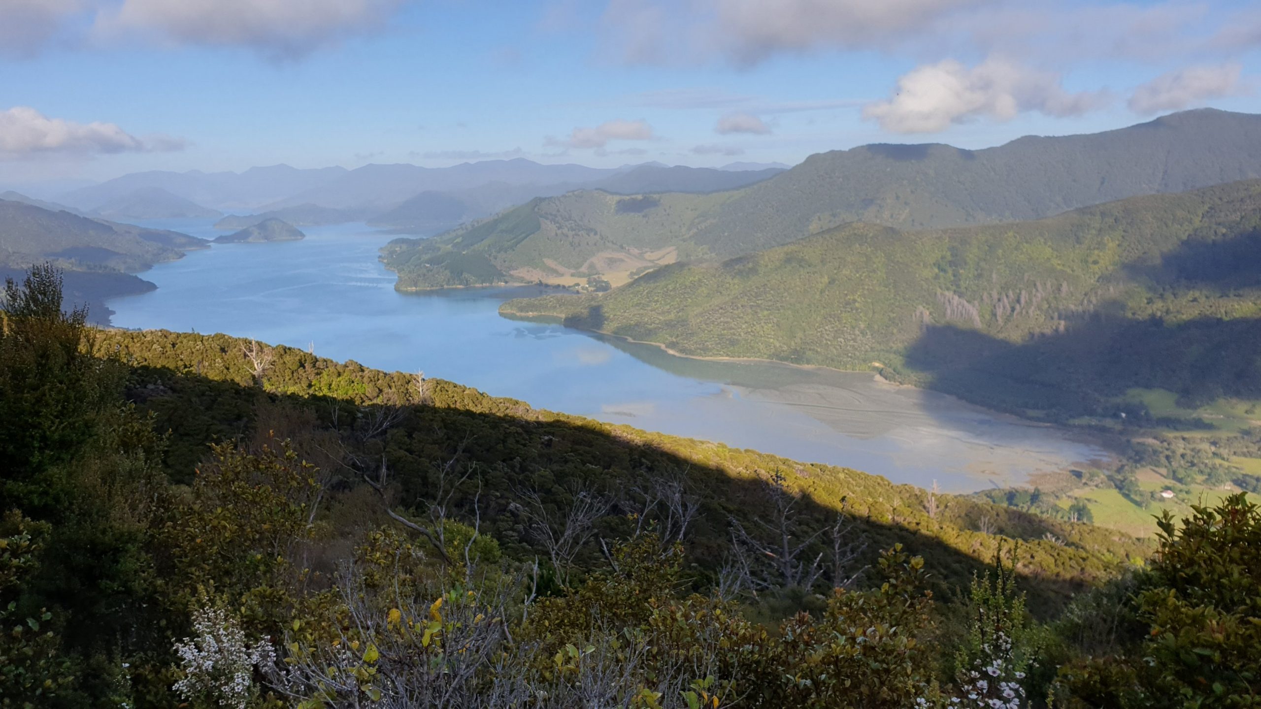
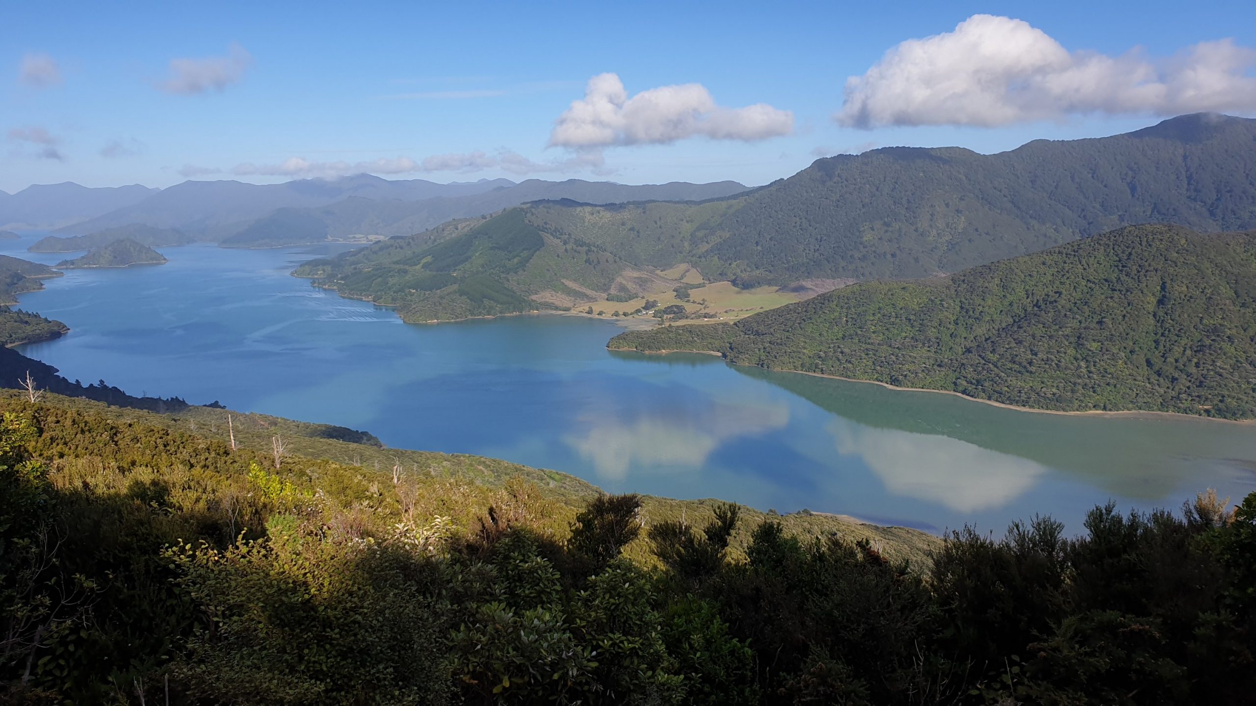
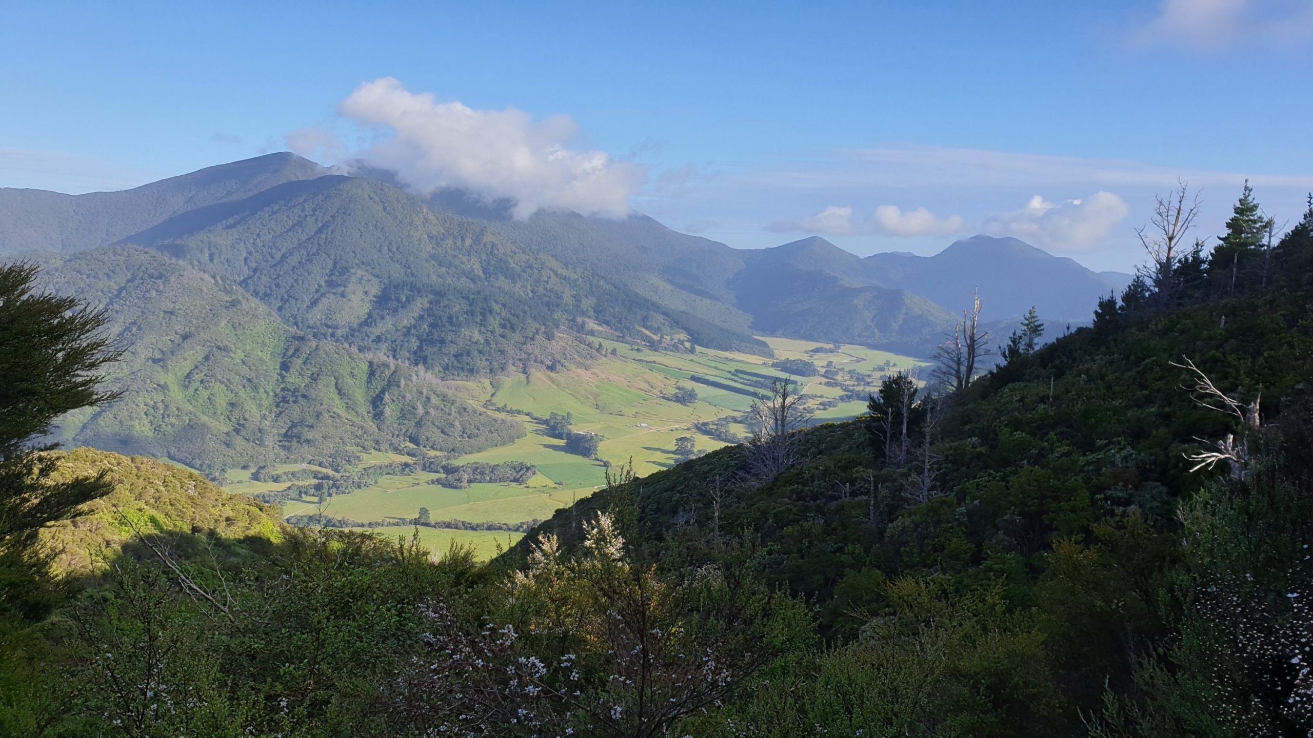
Day 72
Km 21
Cumulative Km 834
The day started with a long uphill, then back down to Te Mahia saddle. From here the track got really busy with day visitors and mountain bikers. The views and weather were still both great though!
I organised with friends from Greymouth, who now live in Nelson area, to pick me up at the end of the trail. It was great to see them and catch up in the car and then the next few days.
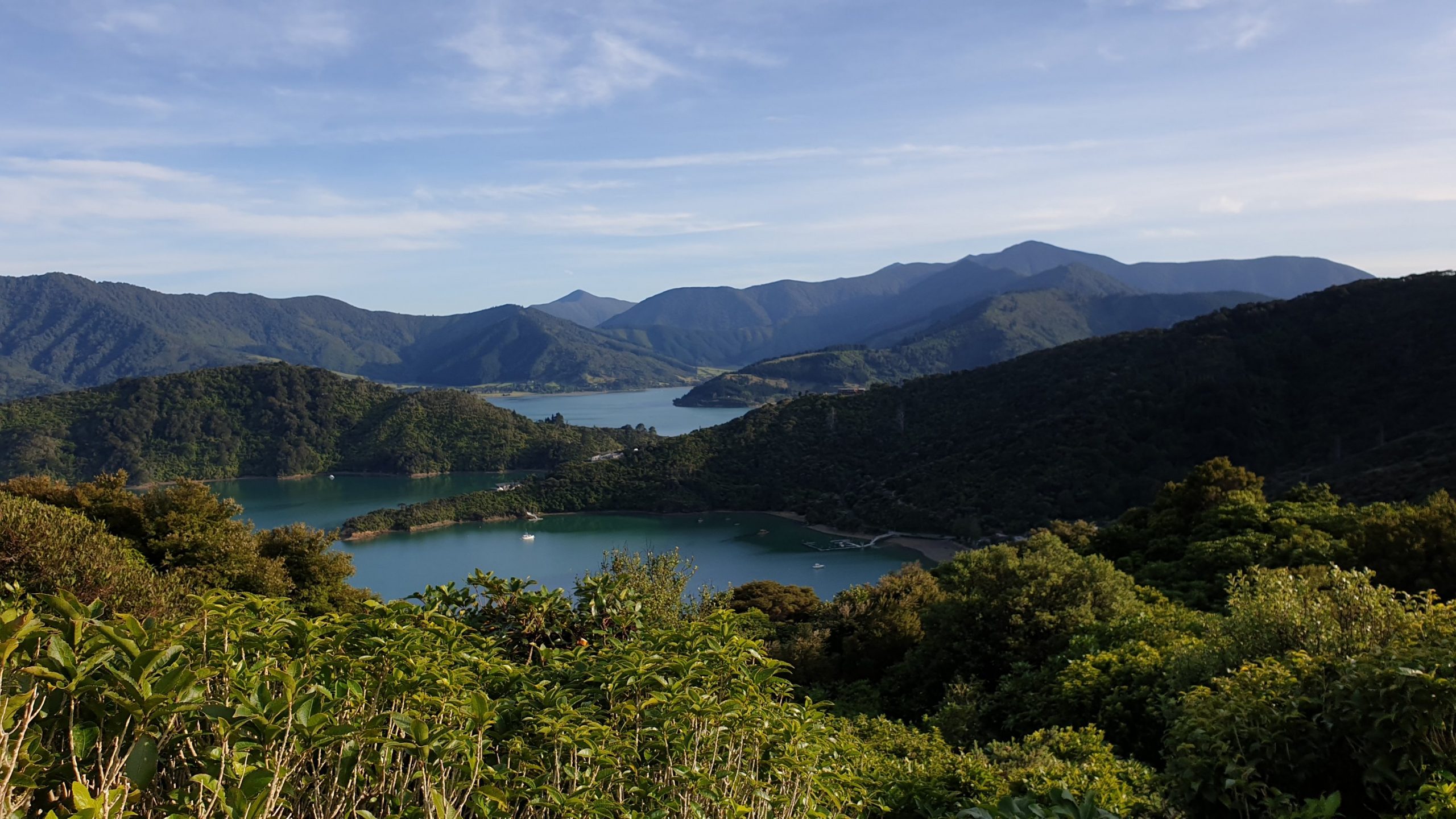
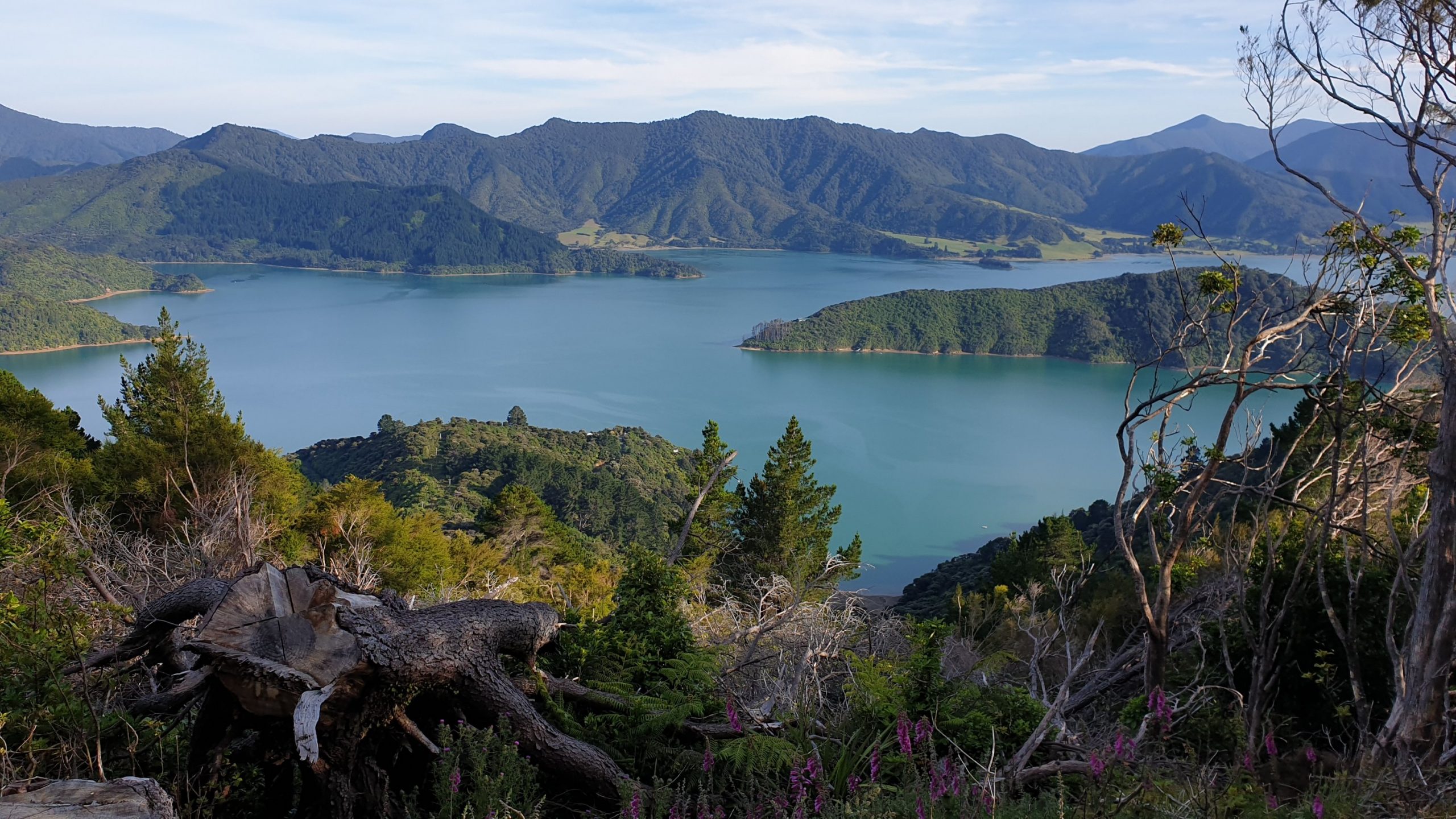
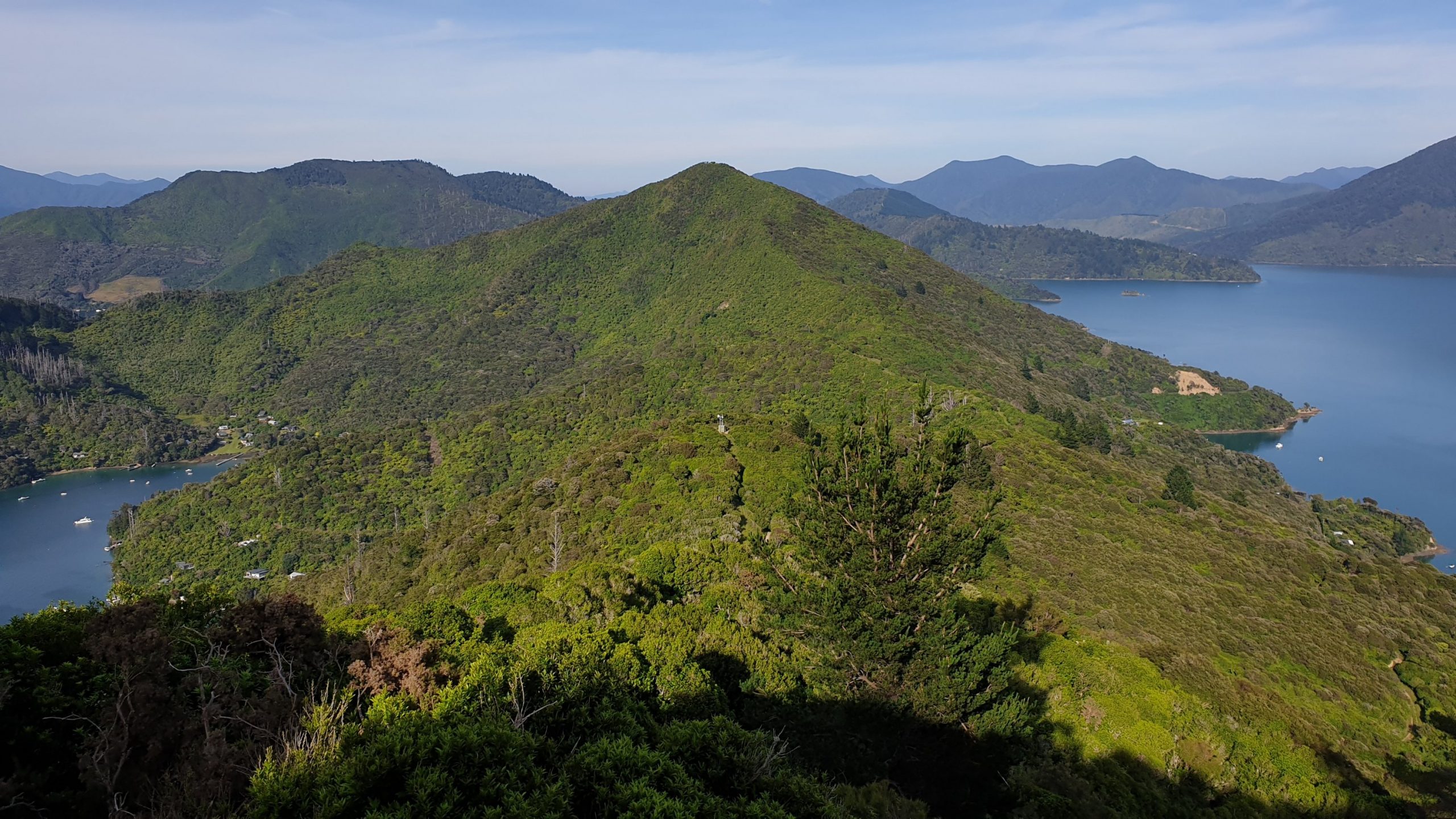
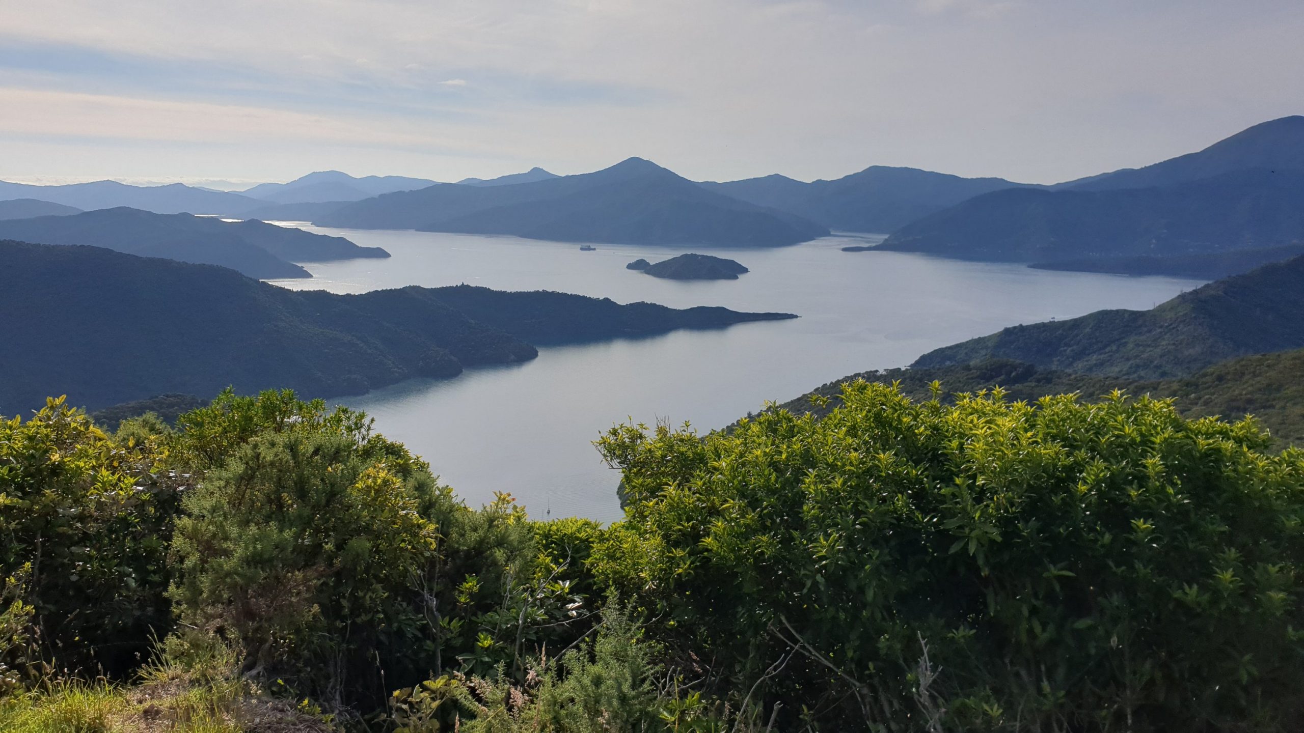
Paraparaumu to Wellington
Day 61
Km 0
Cumulative Km 734
A day off to check on the plan , weather and wait for bad weather to pass.
At this stage it looks like rain all through Christmas.
Day 62
Km 26
Cumulative Km 760
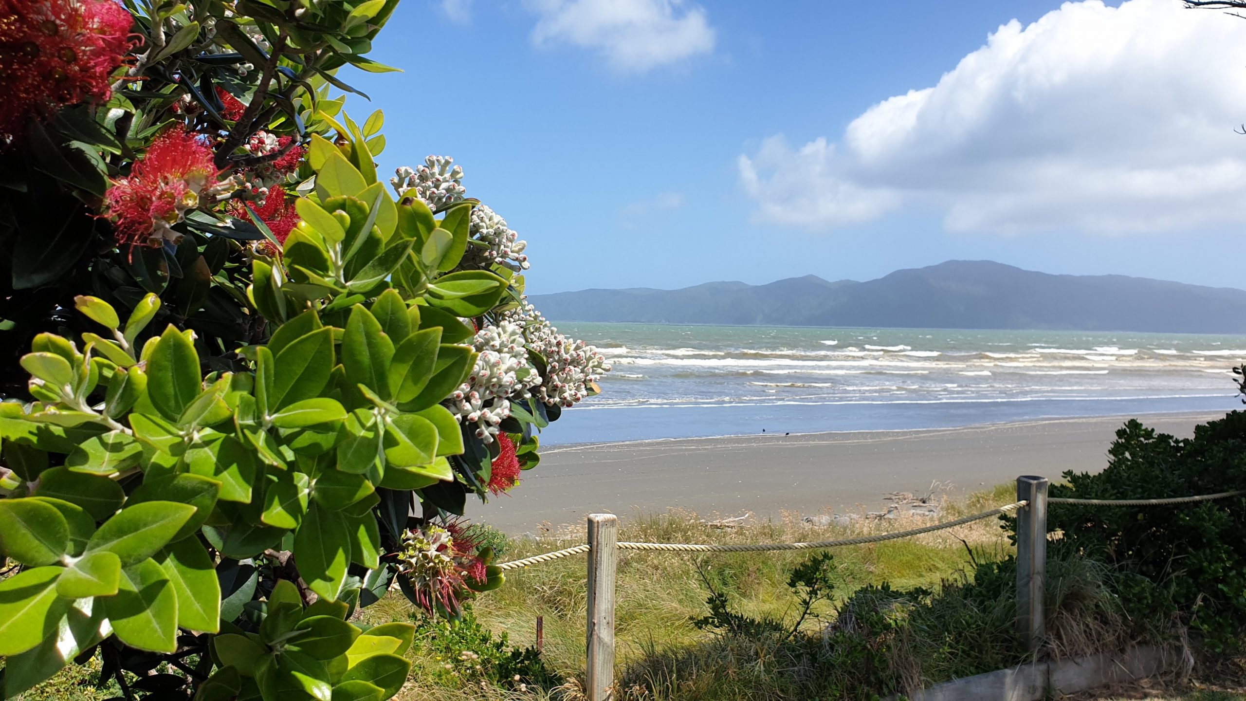
It rained until just after 9am today and cleared up by 10am as per the forecast and so I set out down the beach to Paekakariki. Even though it was low tide the sea was close to the shore and really dirty, probably from increase volume of material from rivers in last few days. I walked on the street parallel to the beach and got distracted by a coffee shop 🤣.
The walk from Paekakariki to Pukerua Bay is the Escarpment walk and said to be a highlight of the trail. I dont think I agree with this statement though. The views are good of the bays and Kapiti Island but you are always seeing SH1 and the trains and tracks, so it’s not a very natural experience.
I caught a train and then bus back to Sulandi’s place in the early evening.
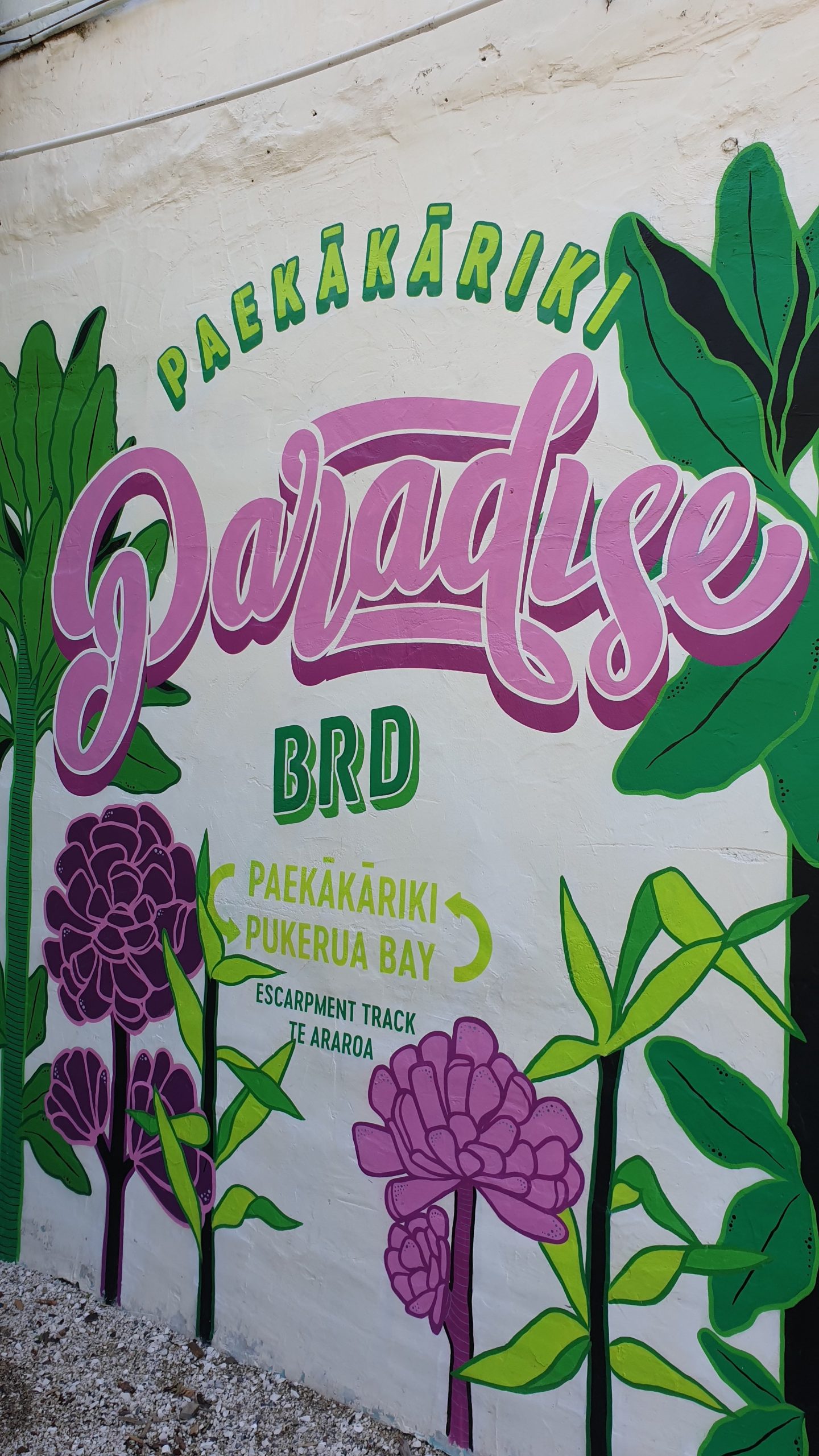
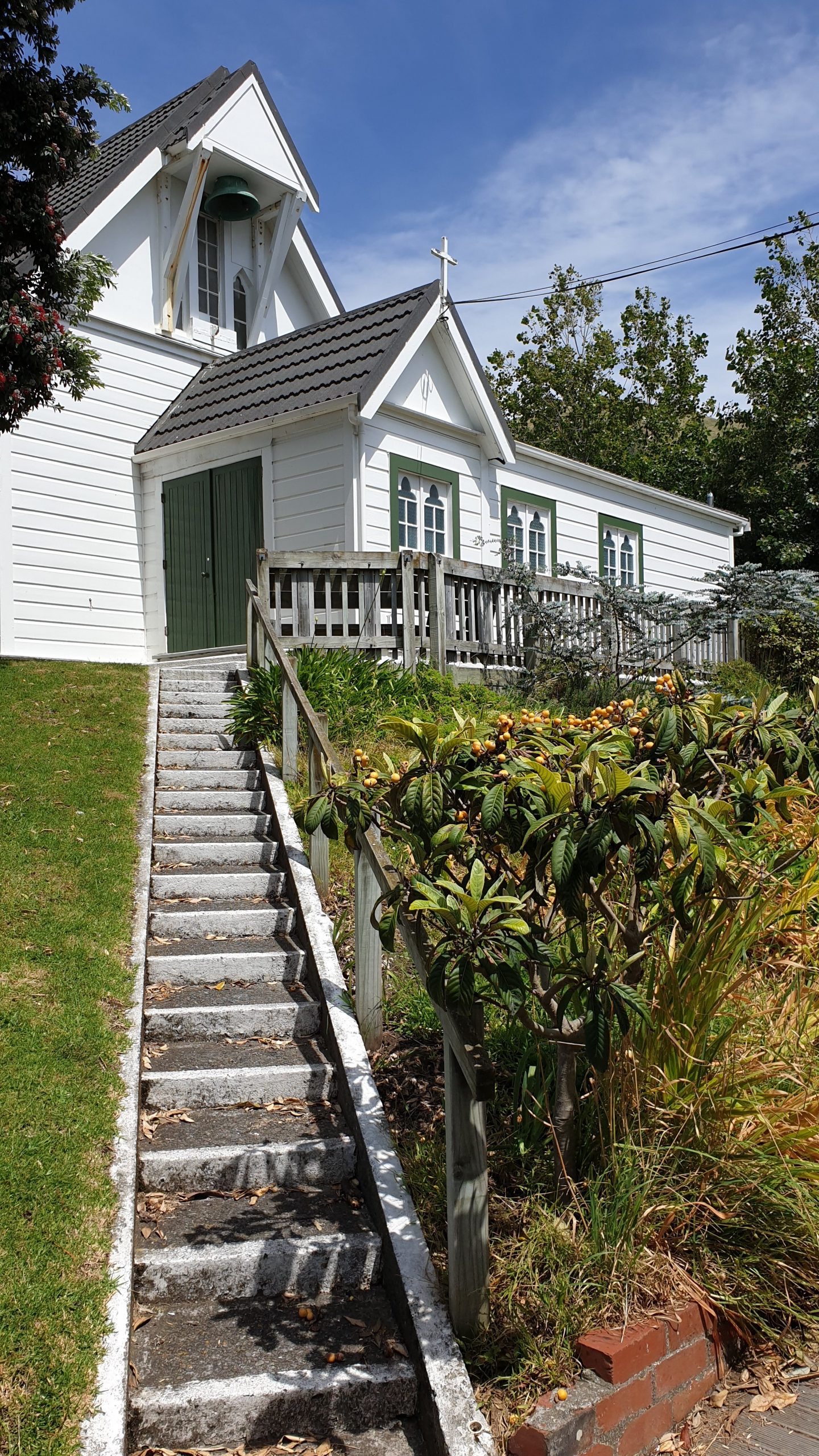
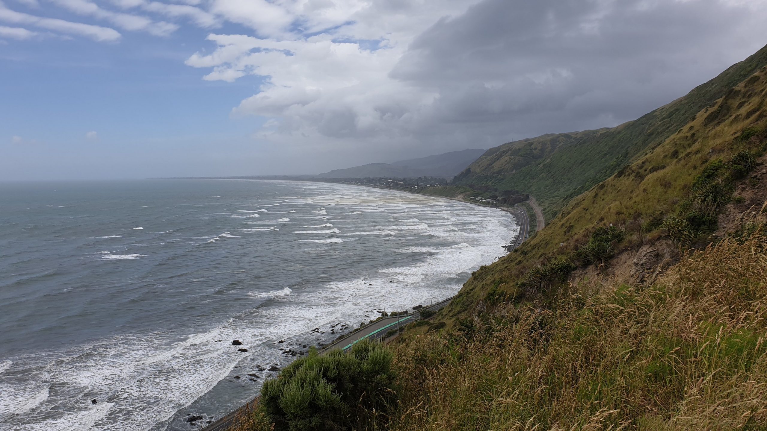
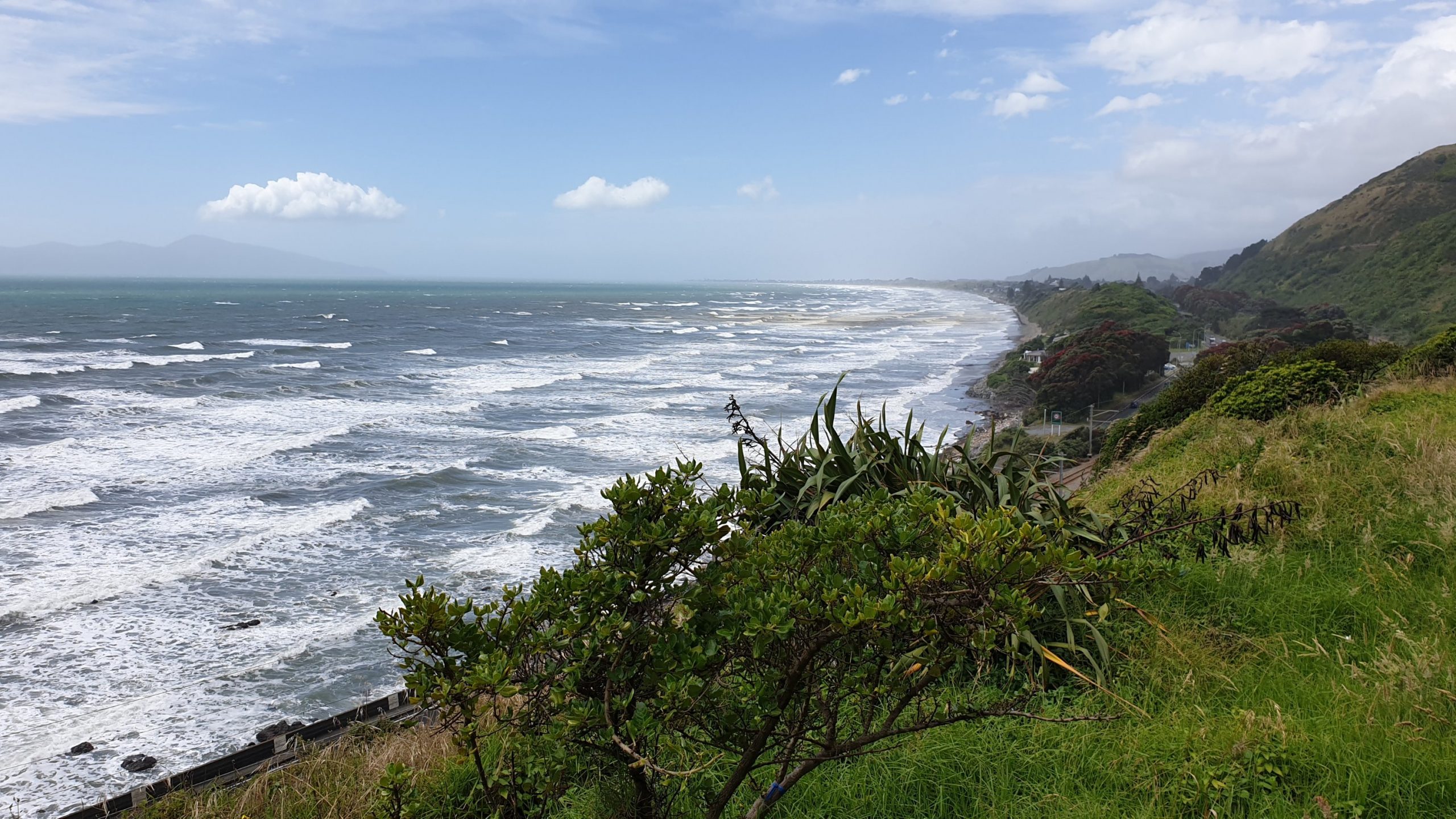
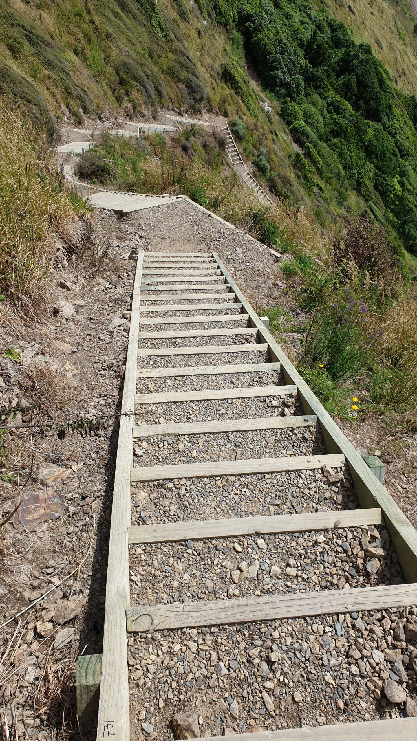
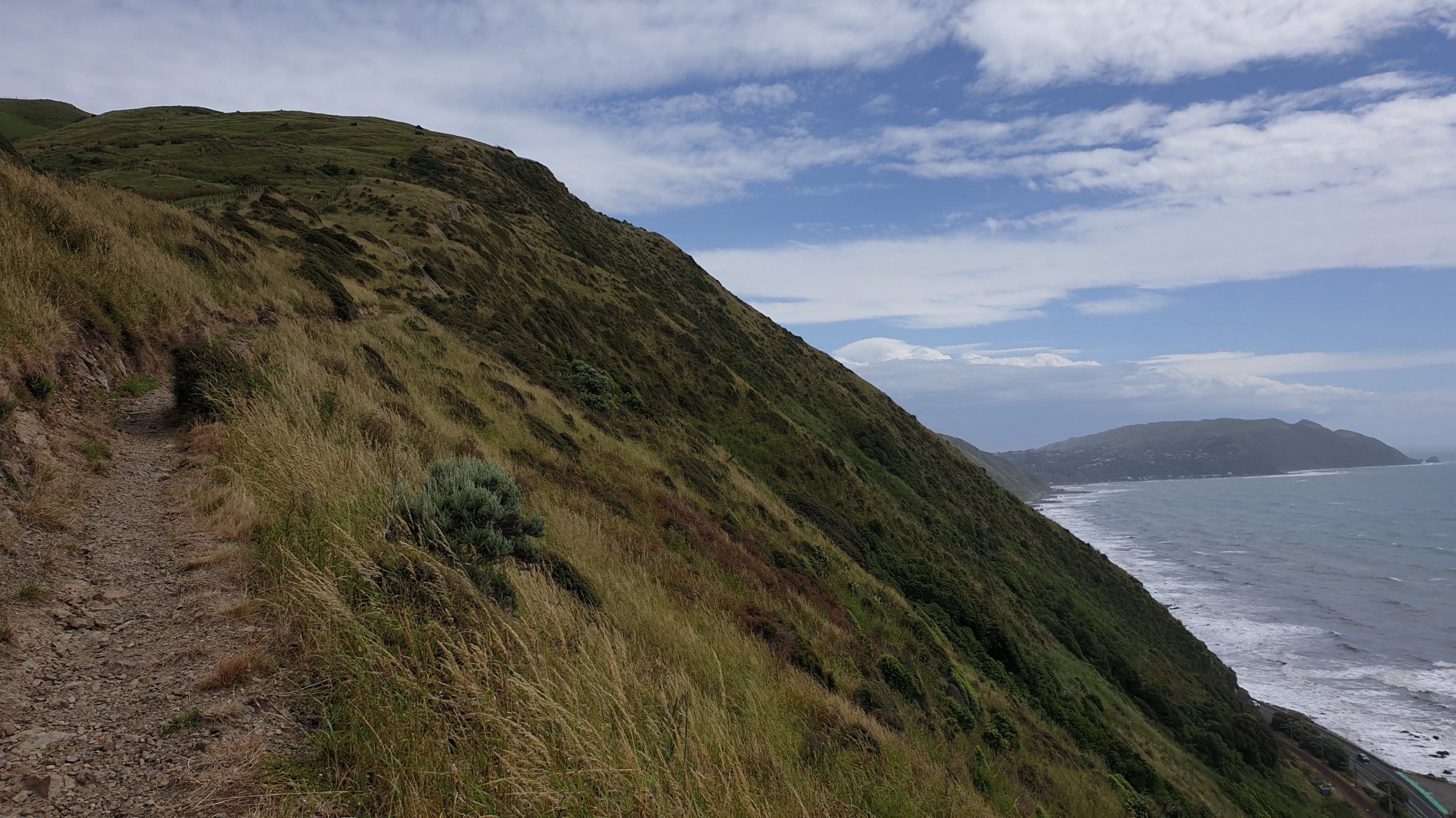
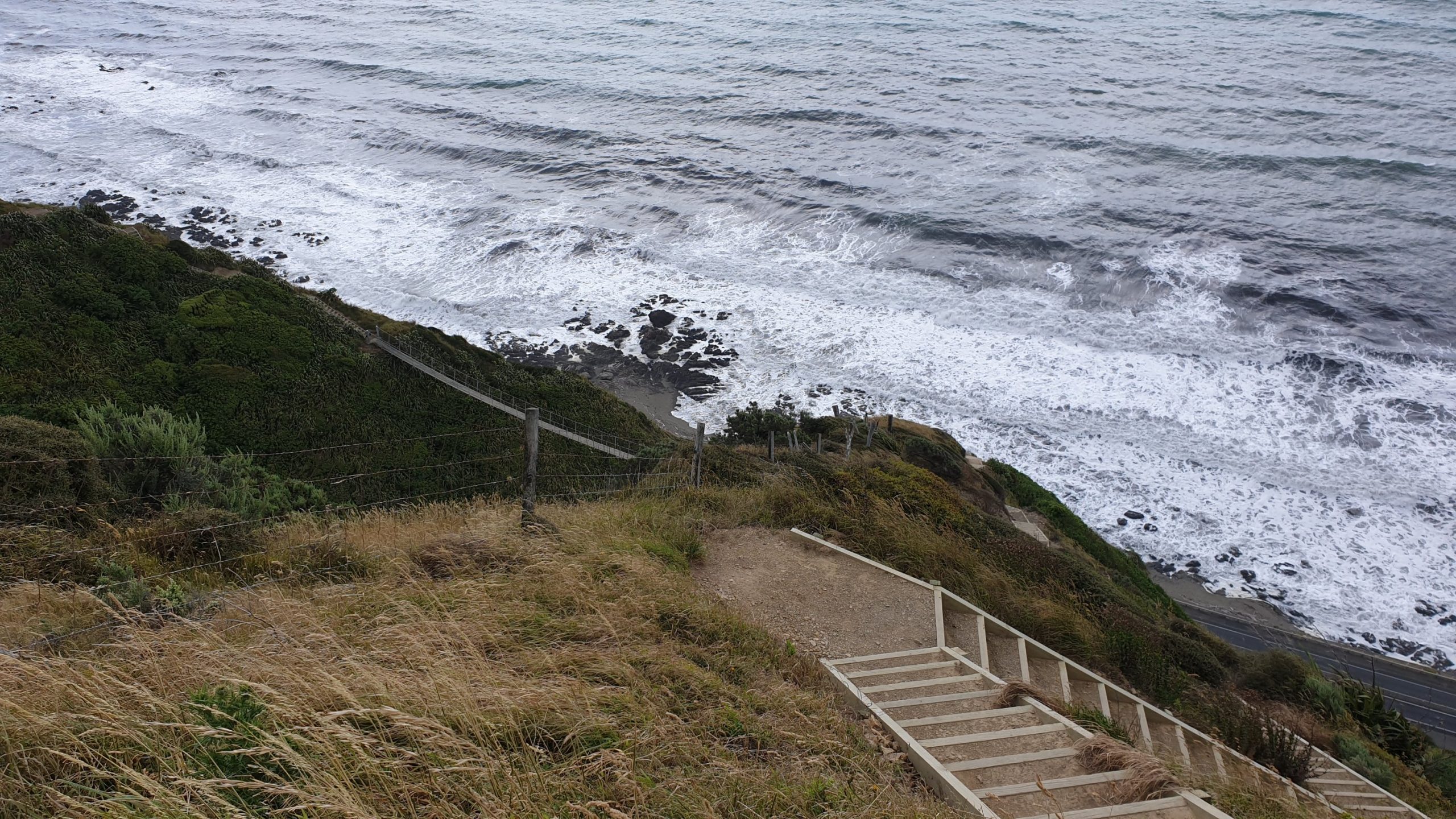
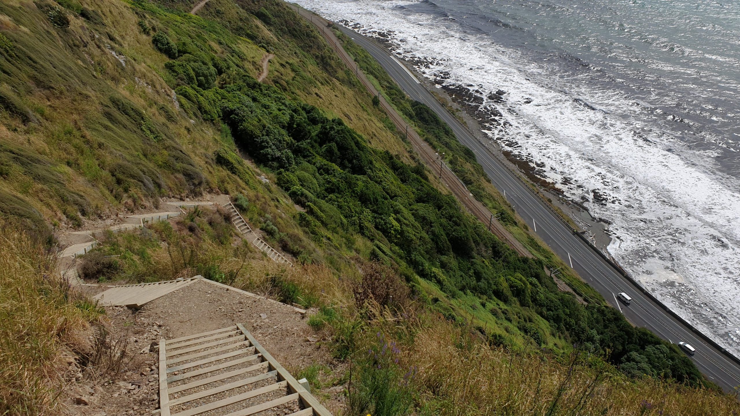
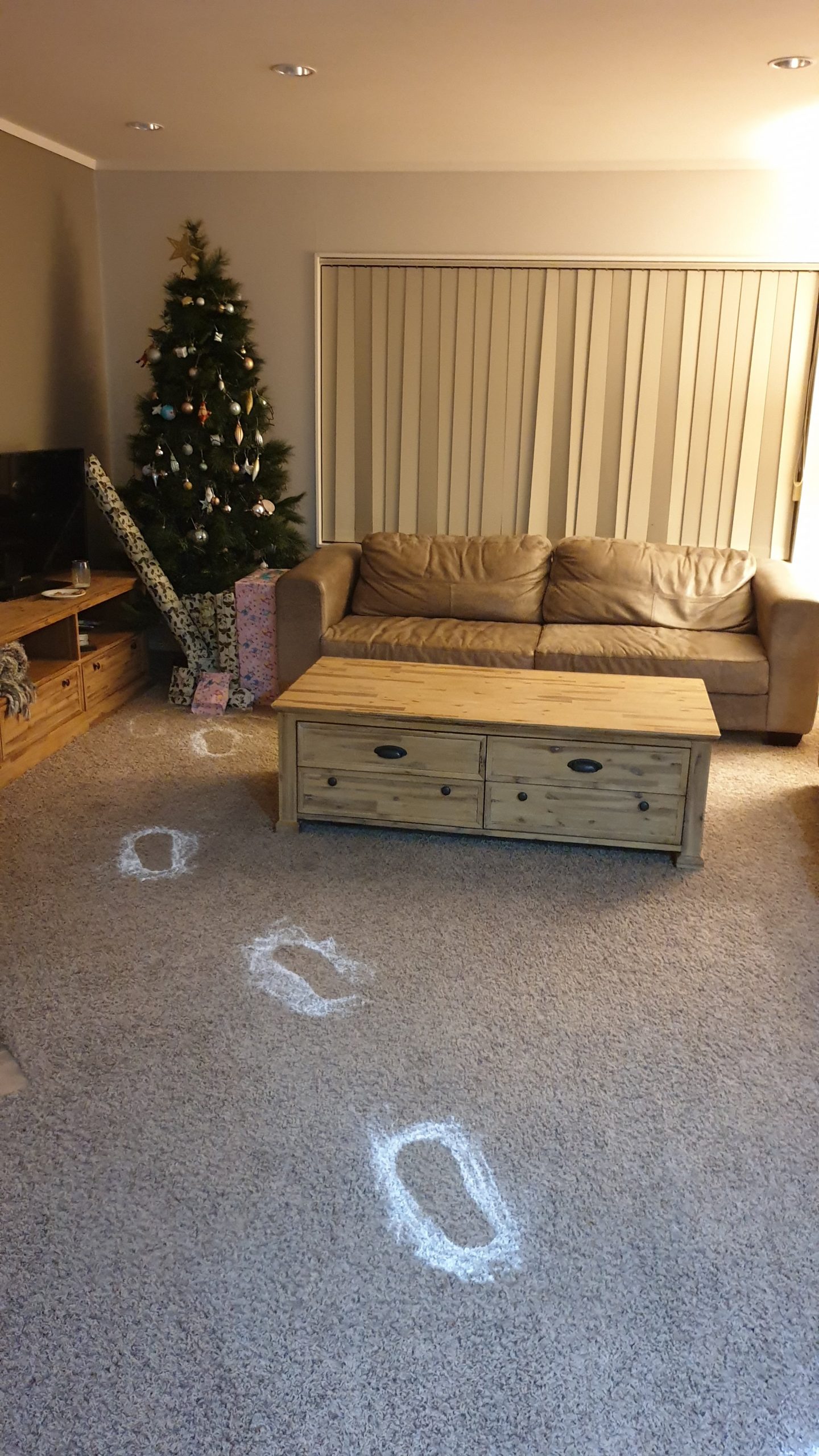
Day 63-68
Km 0
Cumulative Km 760
Days spent preparing for Christmas and looking after the kids. Two are a handful and Sulandi and I joke that I am smart in not having any… no joke it’s TRUE! I dont mind temporarily looking after kids but sure I dont want my own!
We have a lovely Christmas lunch, with a beautifully prepared table and yummy roasts, potatoes, carrots and pumpkin cakes if I can translate the Afrikaans directly. I also made some pavlova and vodka egg nog for dessert.
Most of the remaining walking through Wellington is on roads, so I decided to skip it.
I take the ferry from Wellington to Picton on the 26th December.
PS The weather forecast was not correct- it didn’t rain at all as predicted 😐
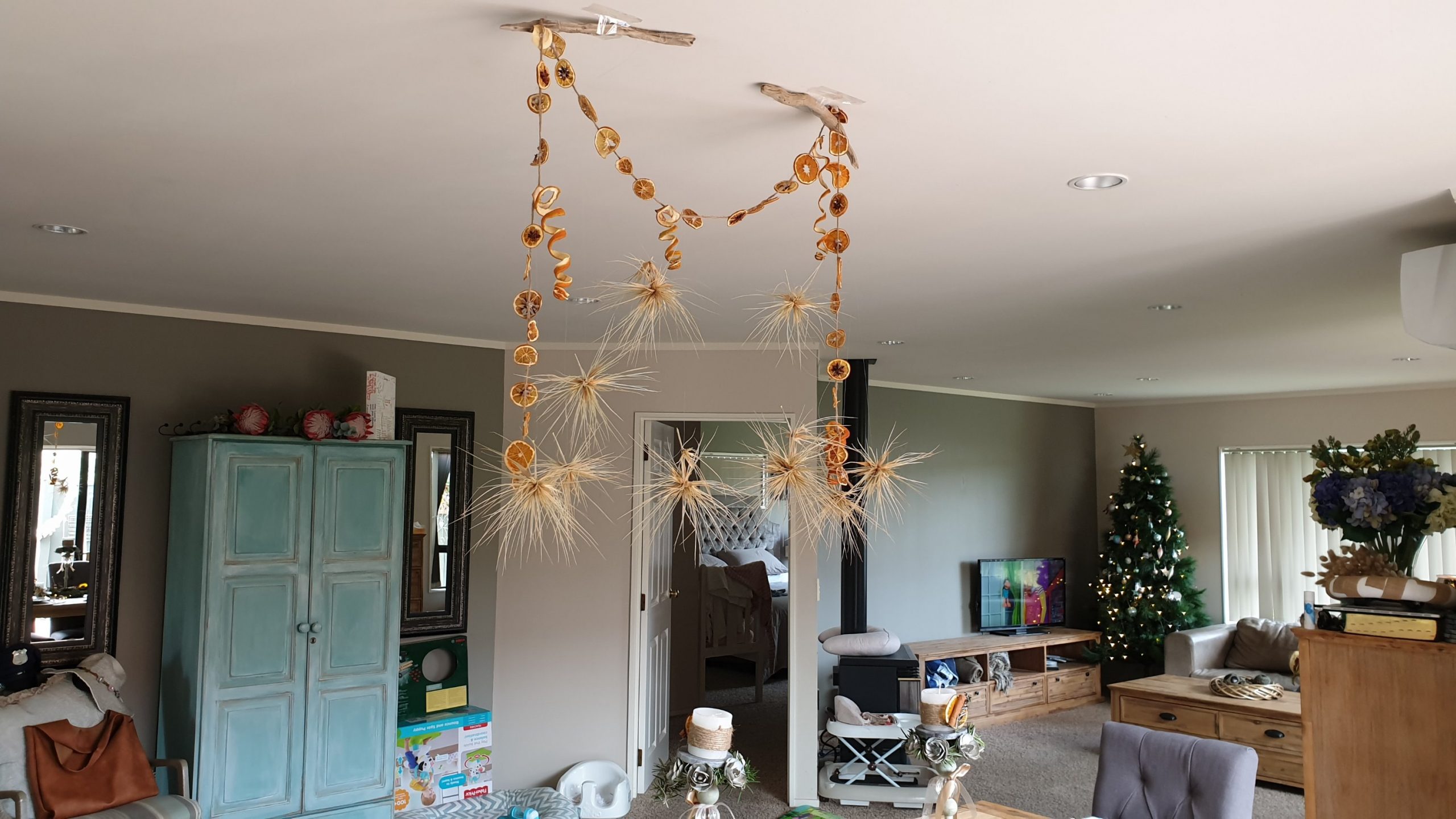





Kahuterawa Car Park to Paraparaumu
Day 57
15 December 2019
Km 0
Cumulative Km 694
Today was a day of planning and relaxing as well as resupply.
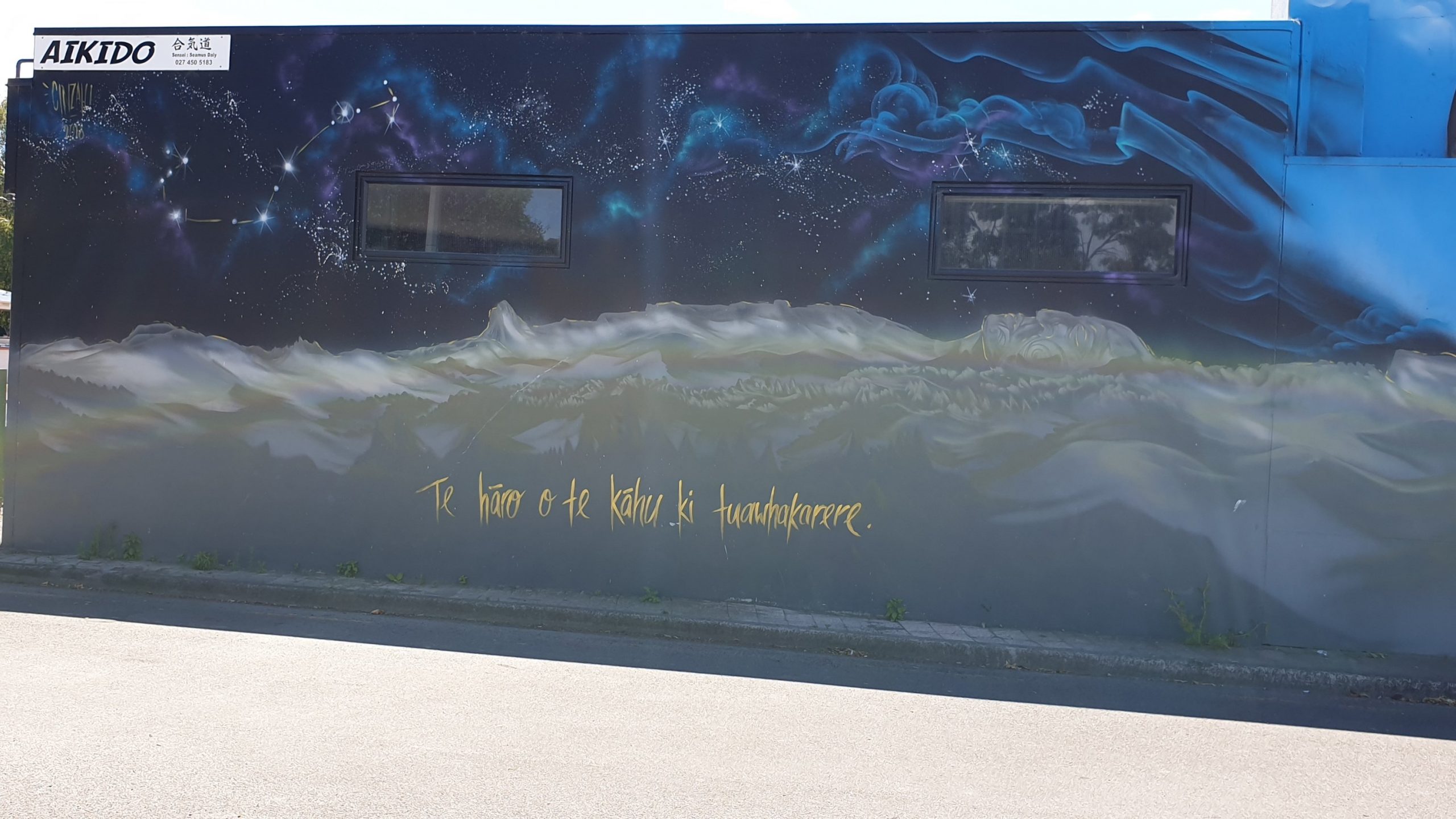
We also checked out some street art and Maori totem carvings.
In the afternoon we did swing by the Pekapeka Wetland. It is a few kilometres out of Hastings and is fairly newly established. We were hoping to see a few birds but there weren’t too many varieties. Lots of ducks and one black swan.
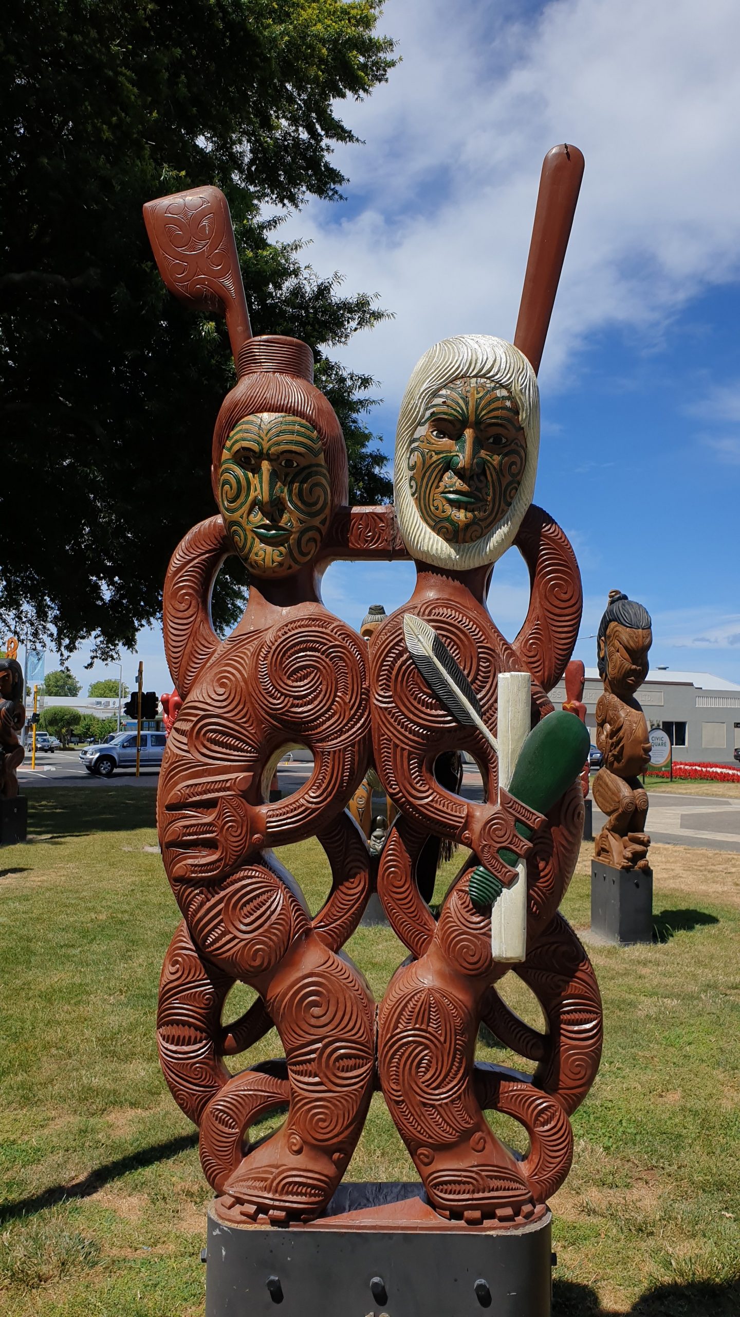
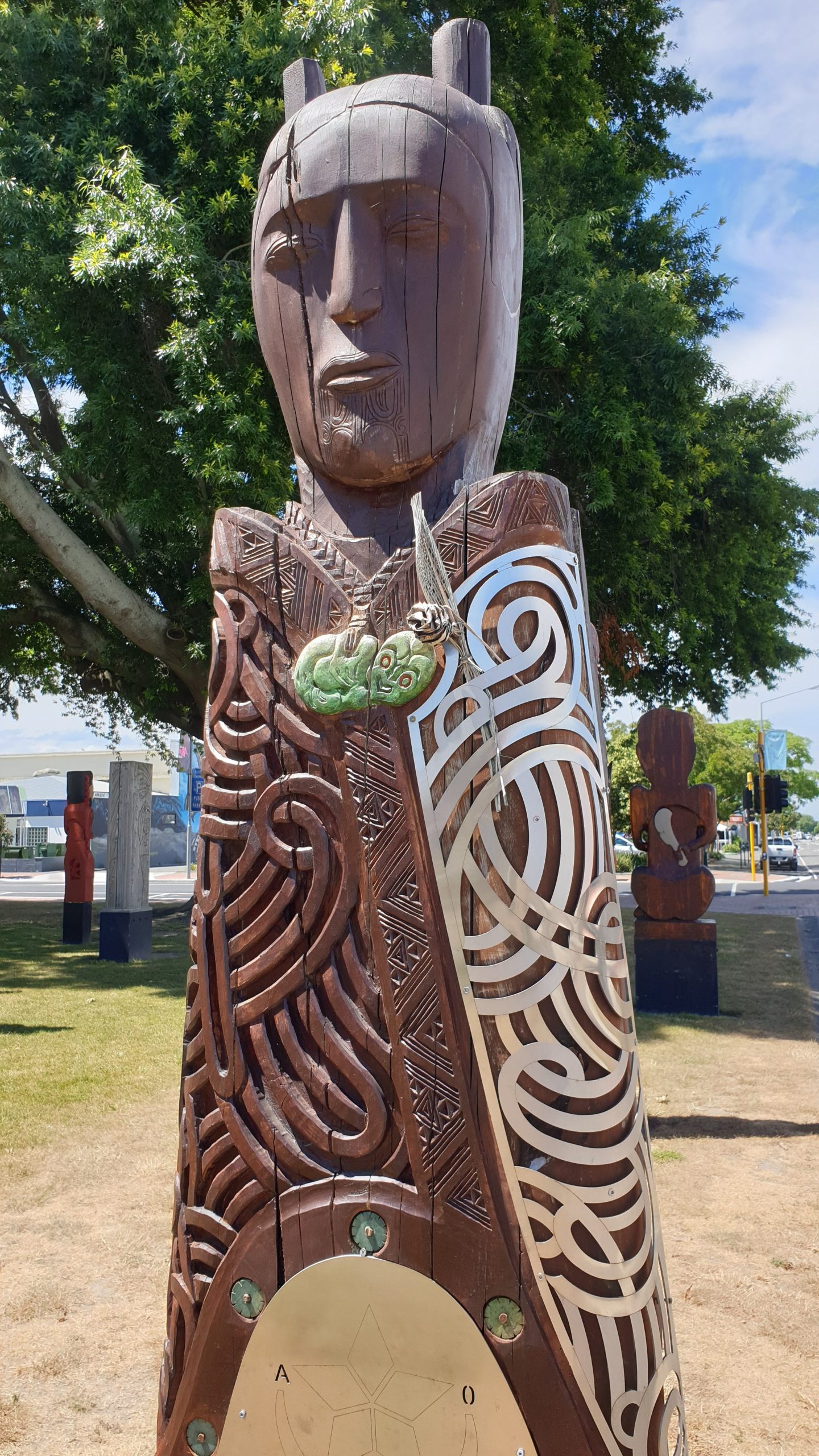
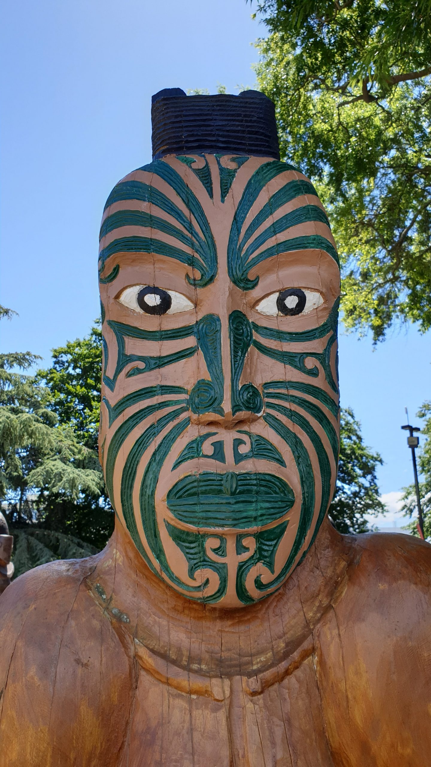
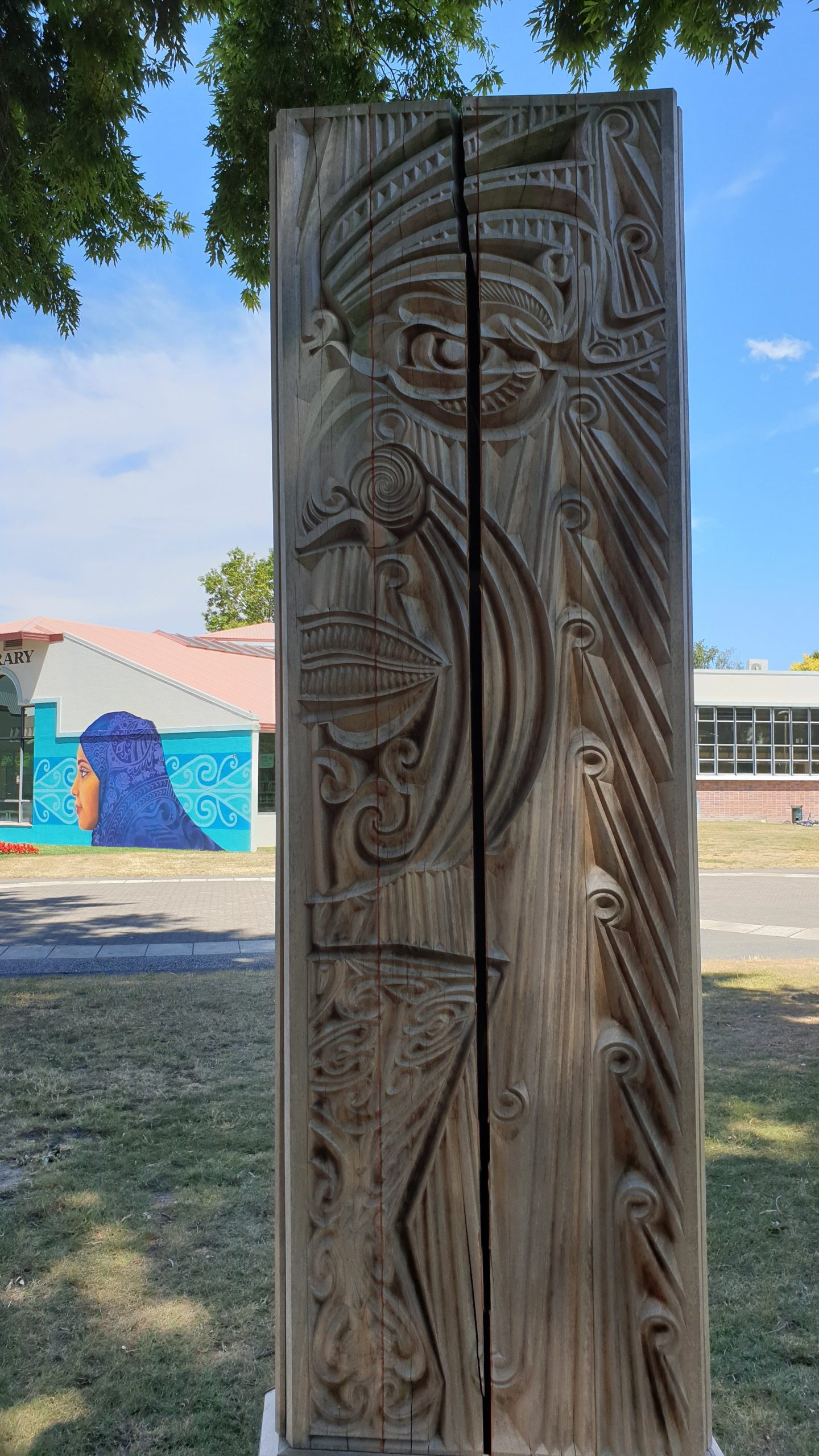
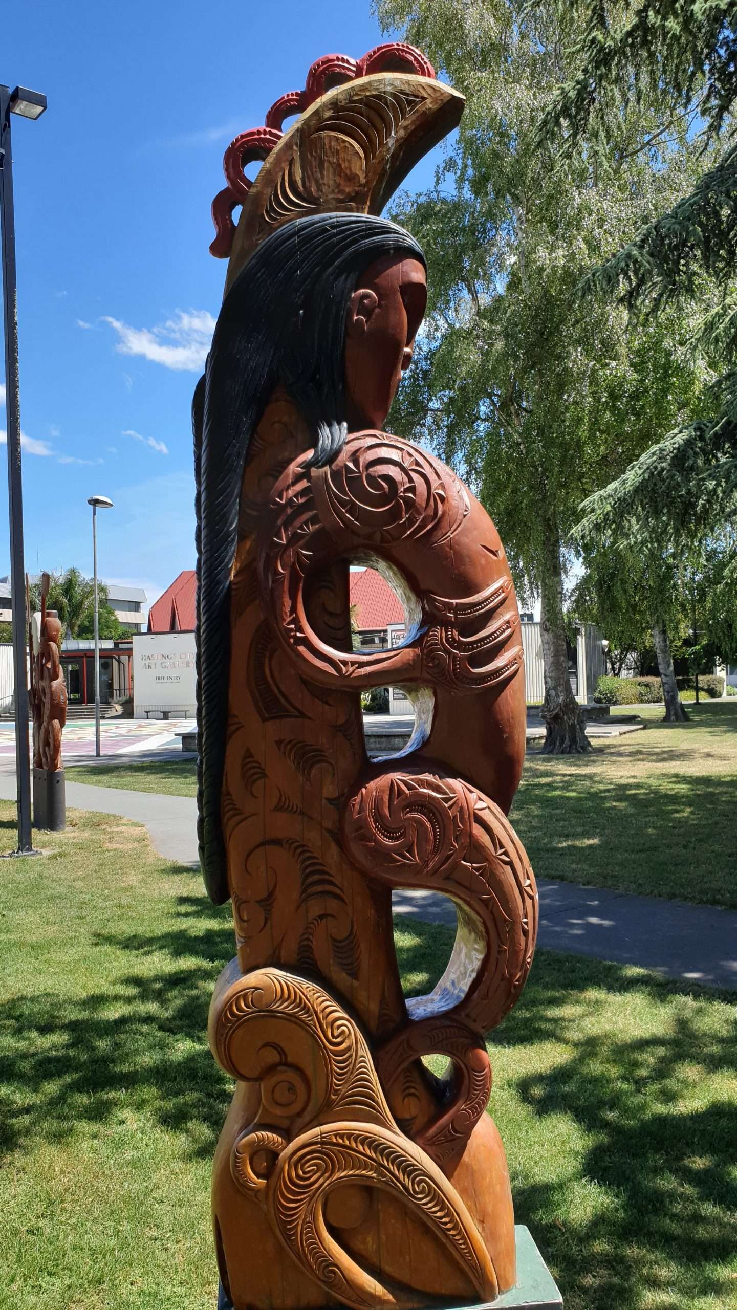
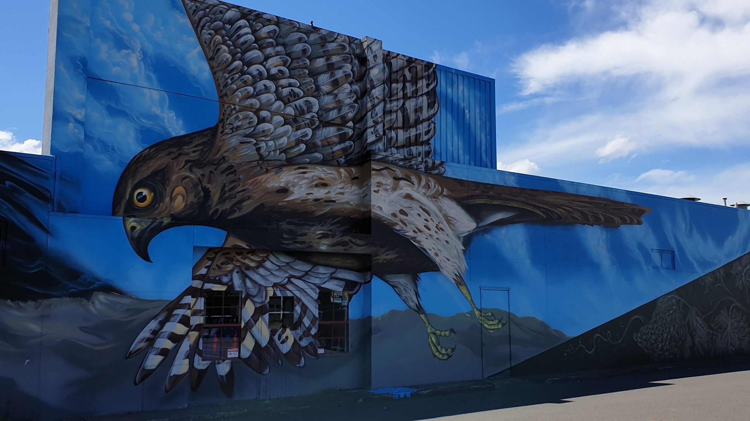
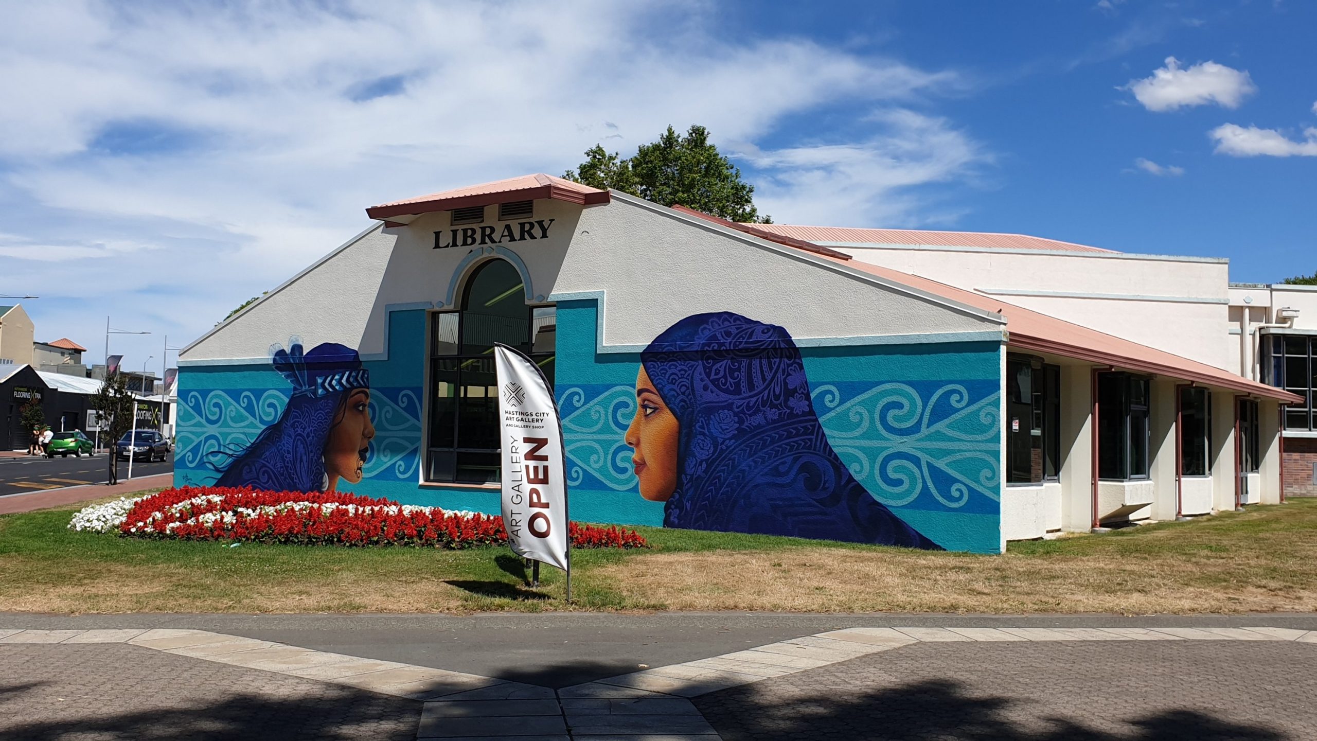
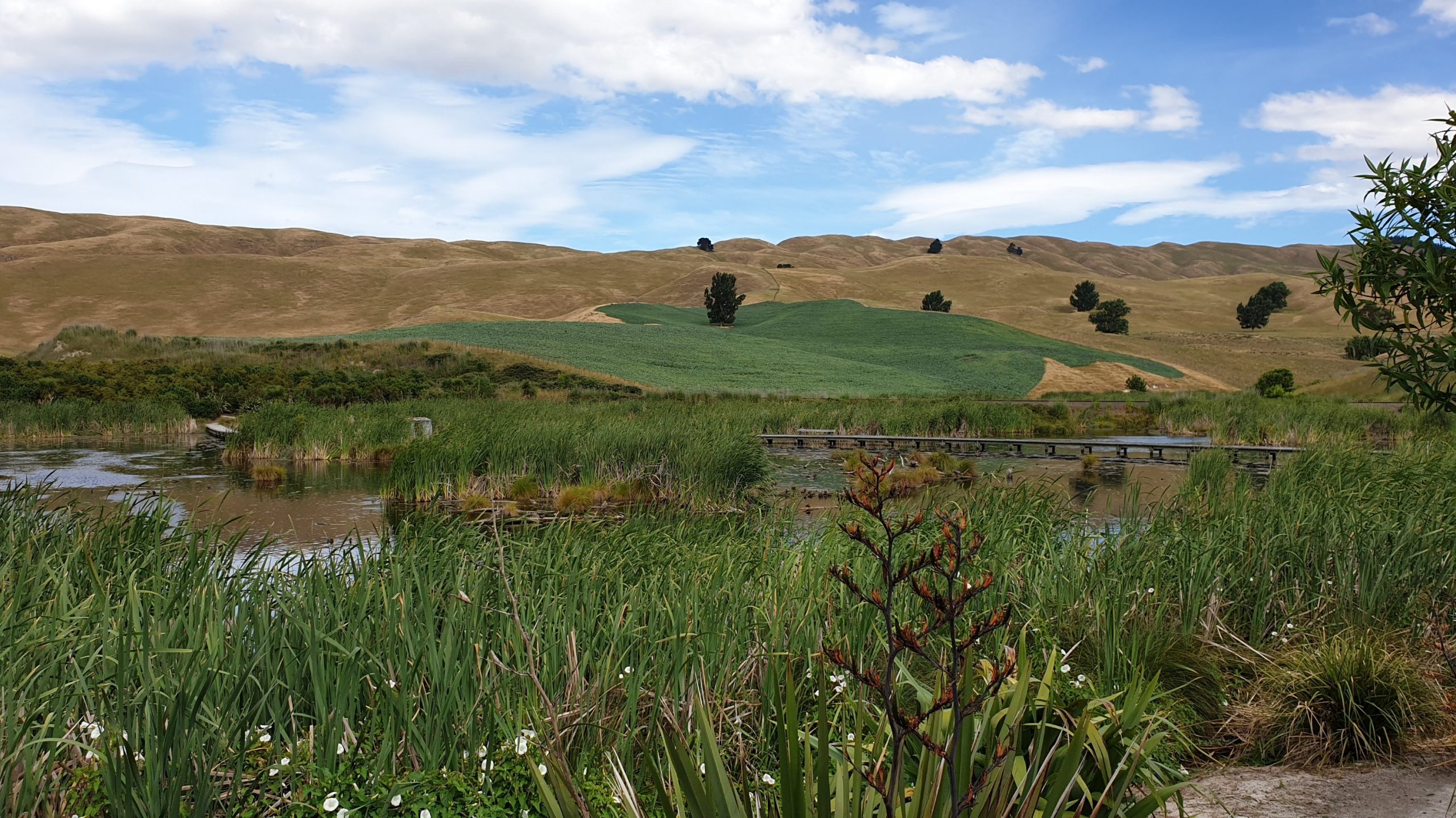
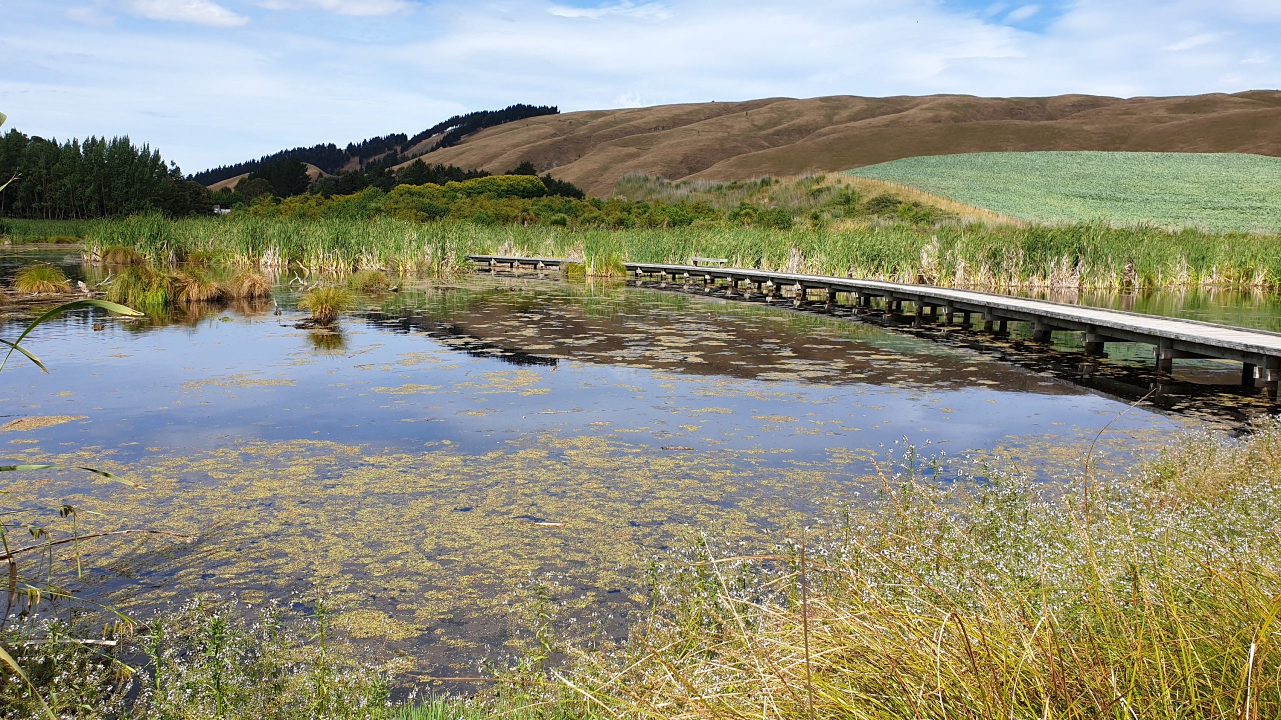
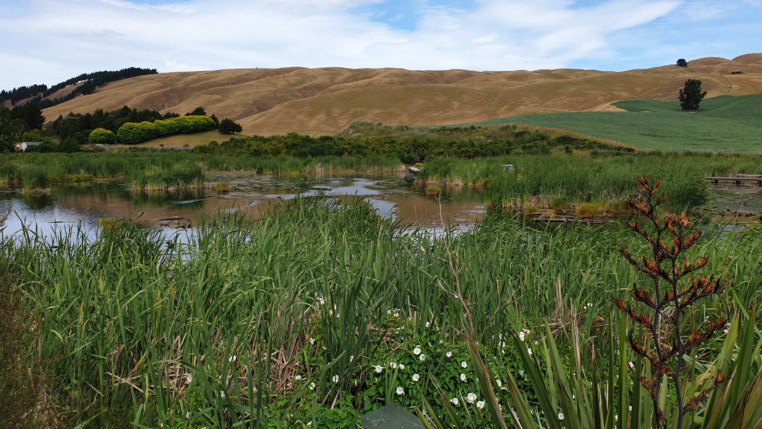
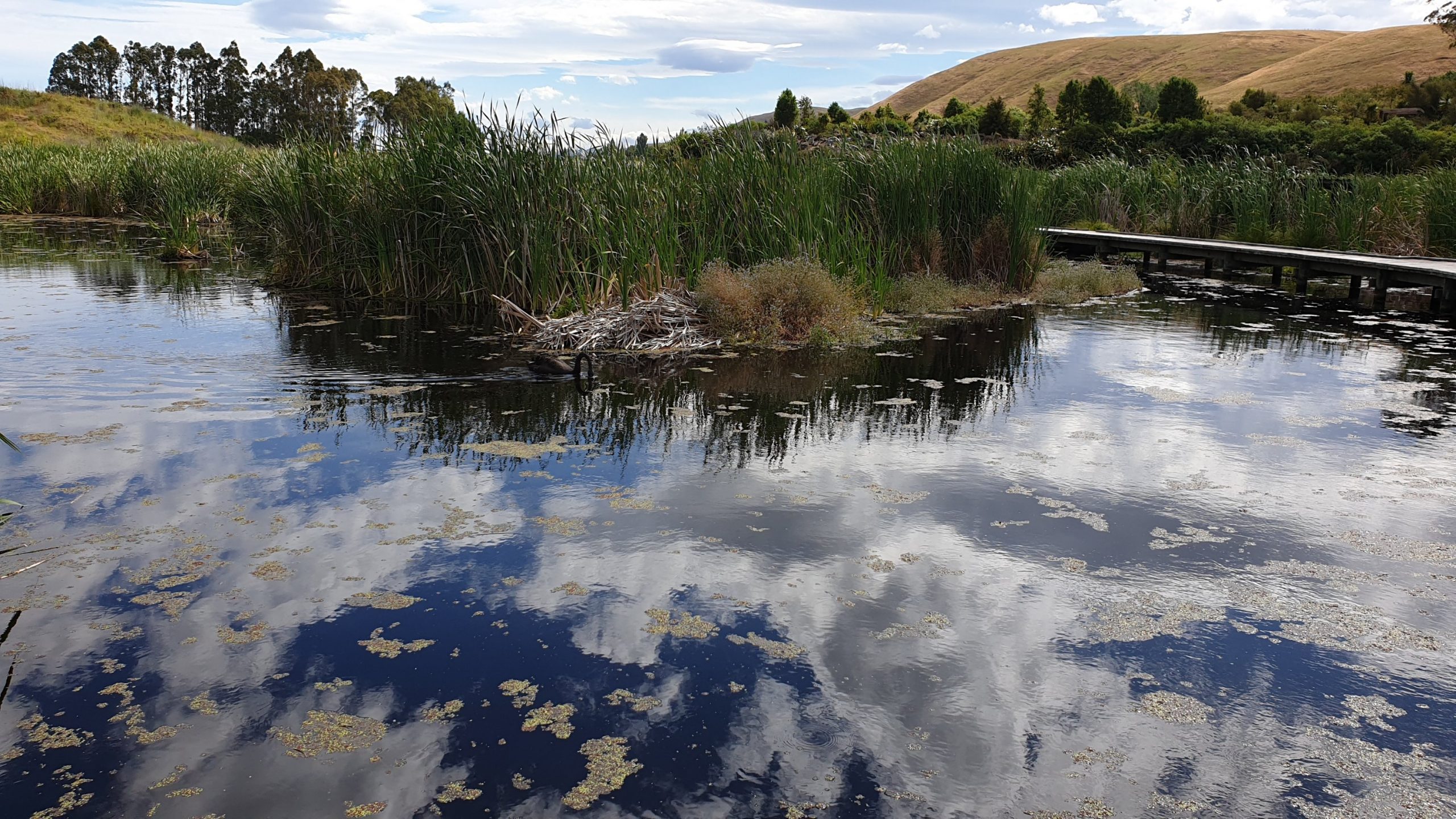
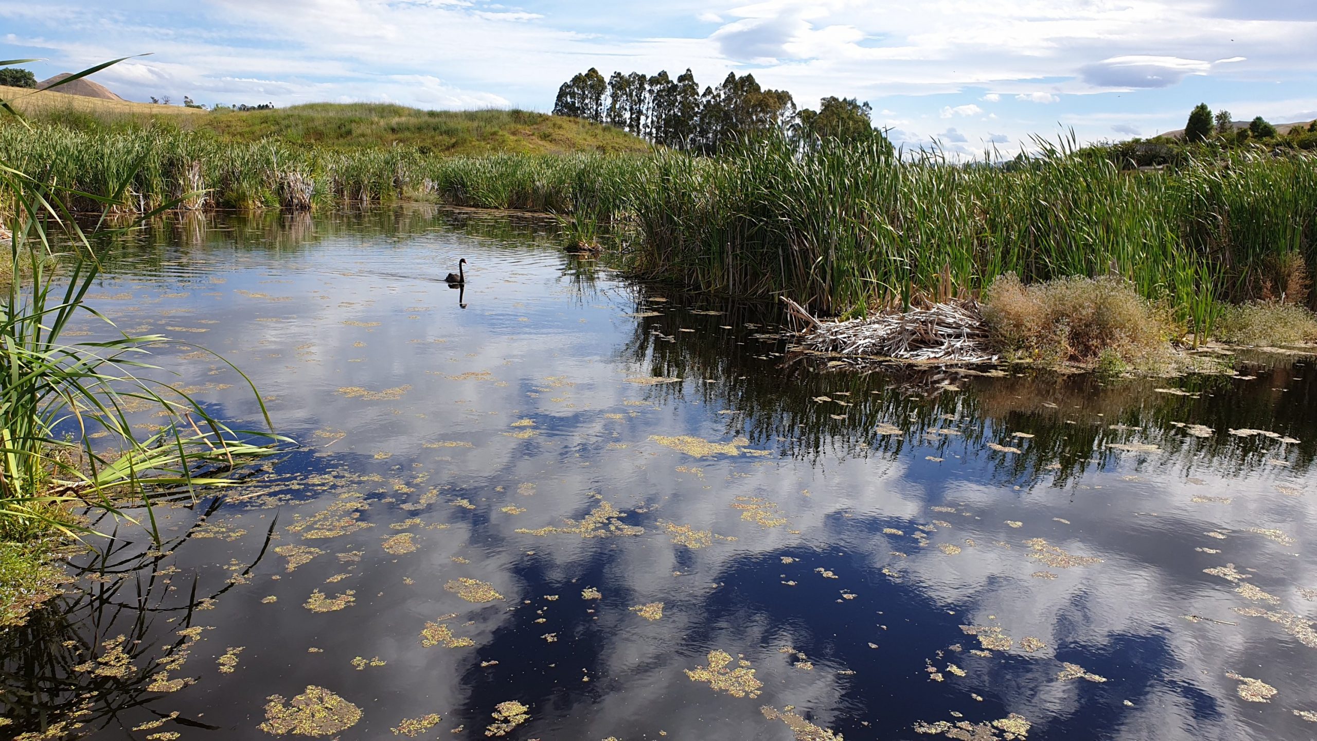
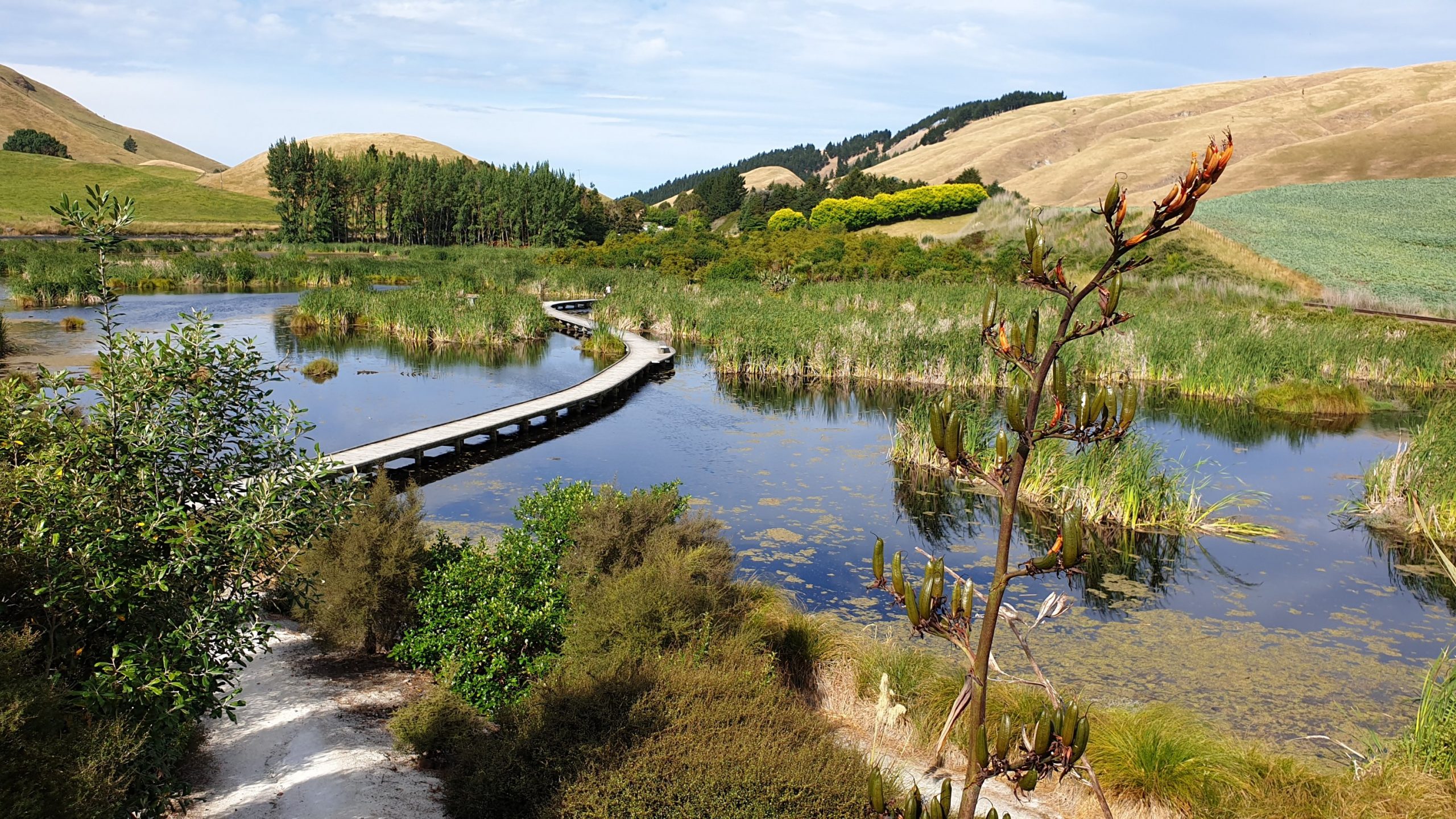
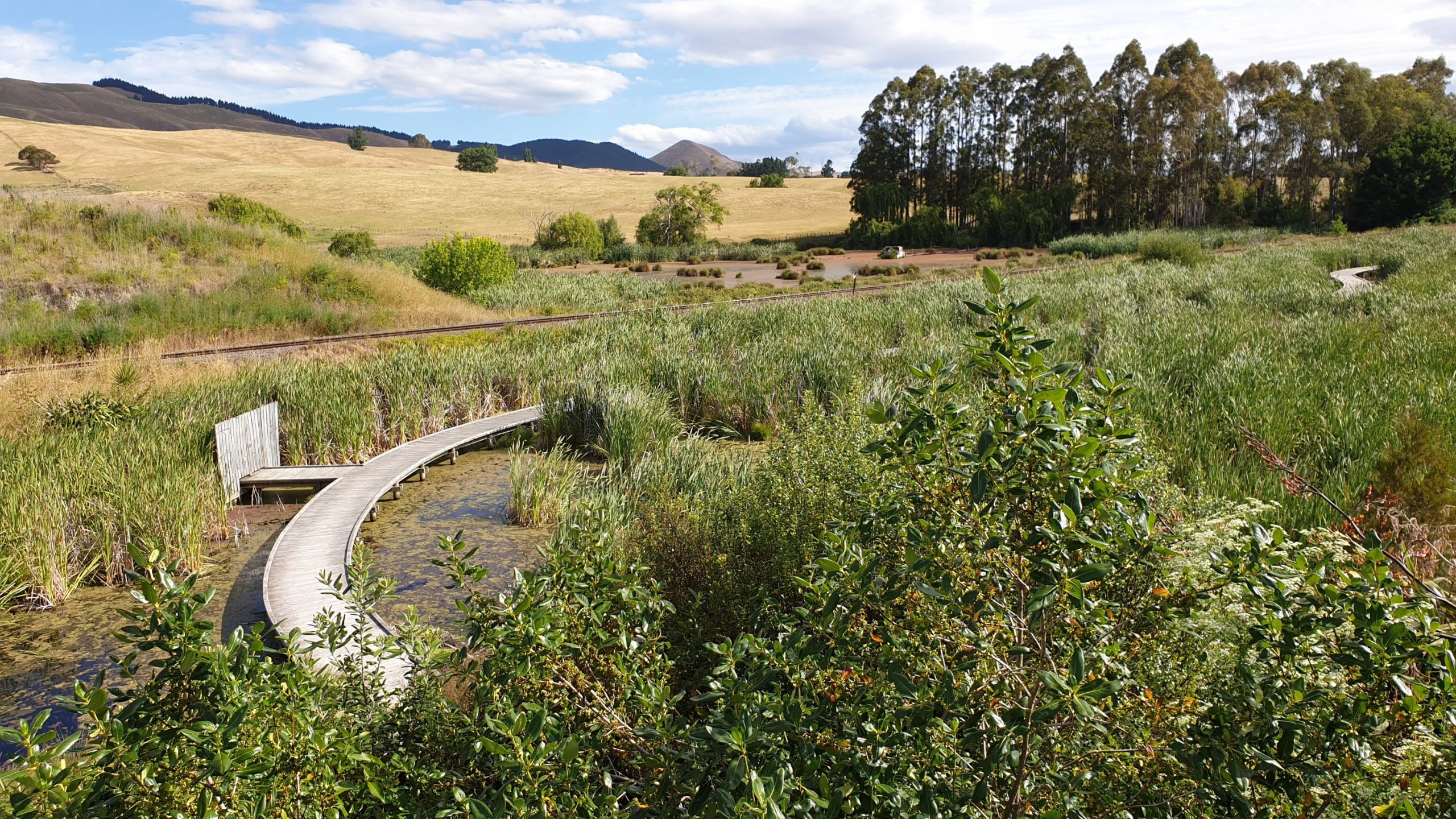
Day 58
Km 21.5
Cumulative Km 715.5
We left Hastings at 7am and headed towards Kahuterawa Car Park. This means that I skipped all the road walking from Palmerston North to here. I also wanted to get through the first track before the large rainfall was due tomorrow. This worked partly, in that it started raining just prior to me setting off on my hike. I commenced at 10am.
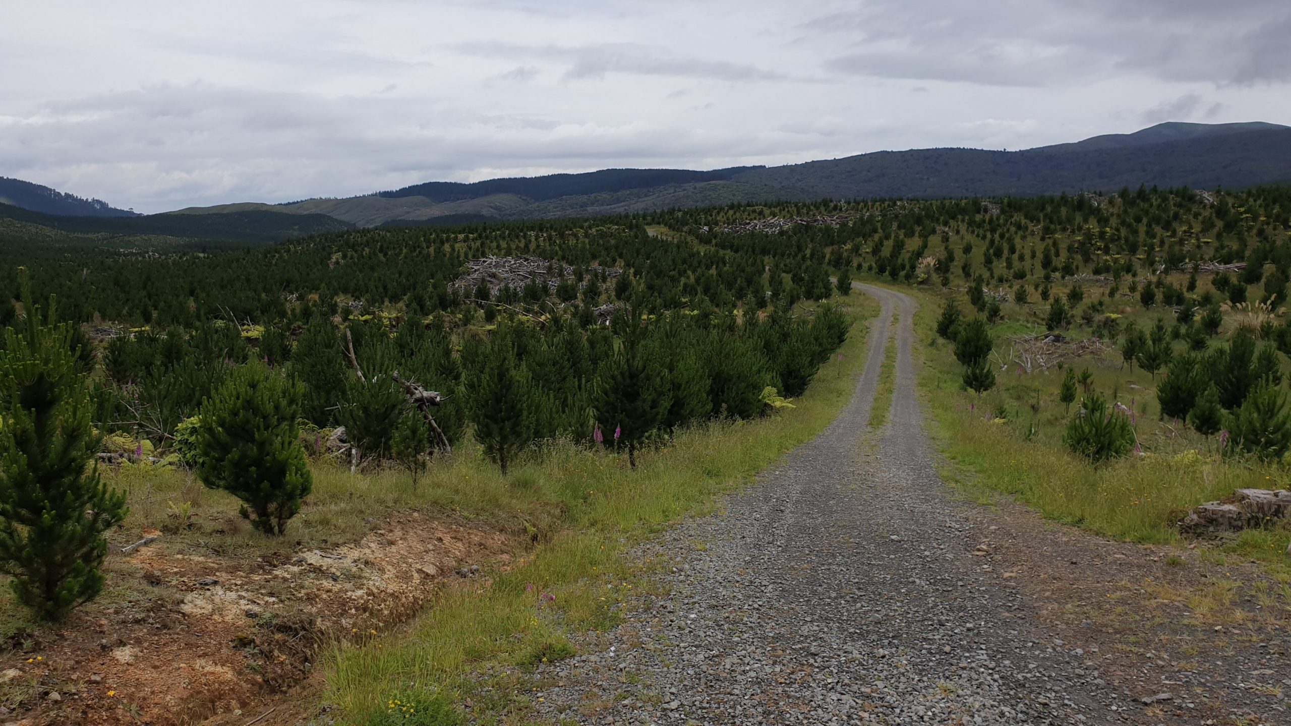
So the first 1.5 hours were wet but then it cleared for most of the day. The trail was mainly through bush, then some newly planted pines before getting to one of the newest shelters on the trail. It is very nicely constructed and even had a pine Christmas tree in it with 2 ornaments!
An important milestone- passing half way point of the trail!!
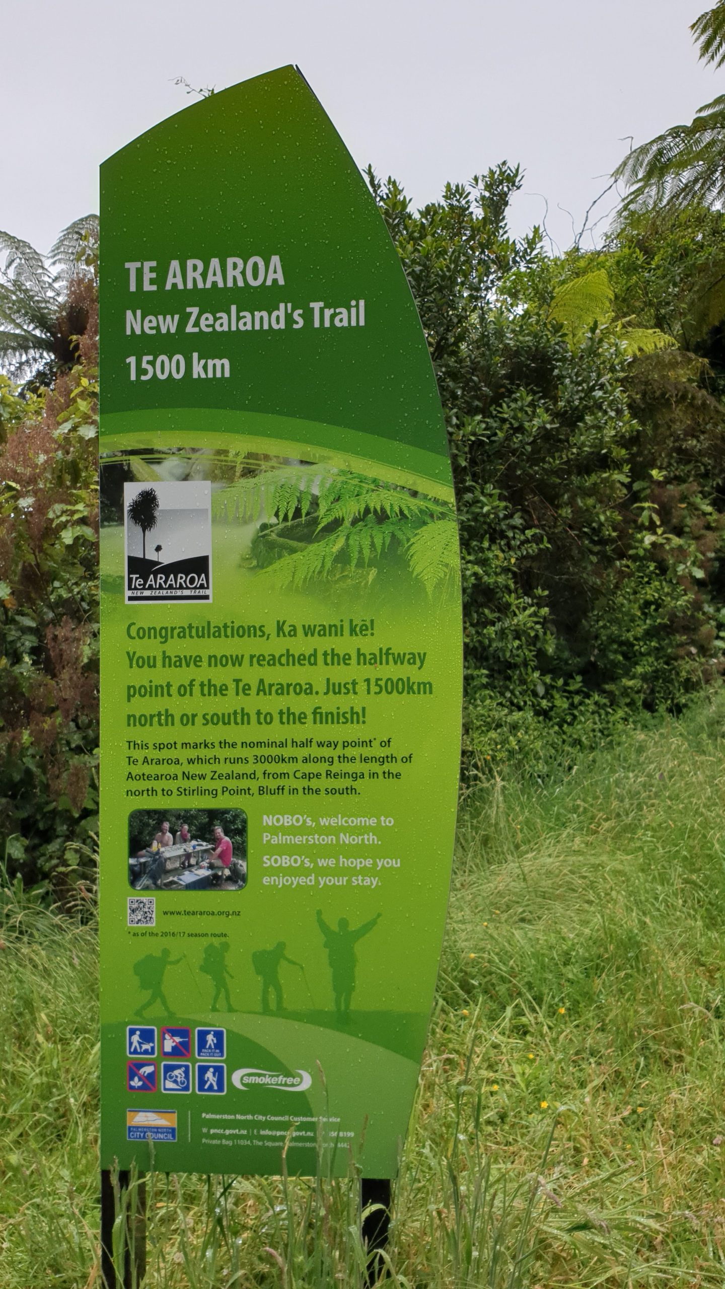
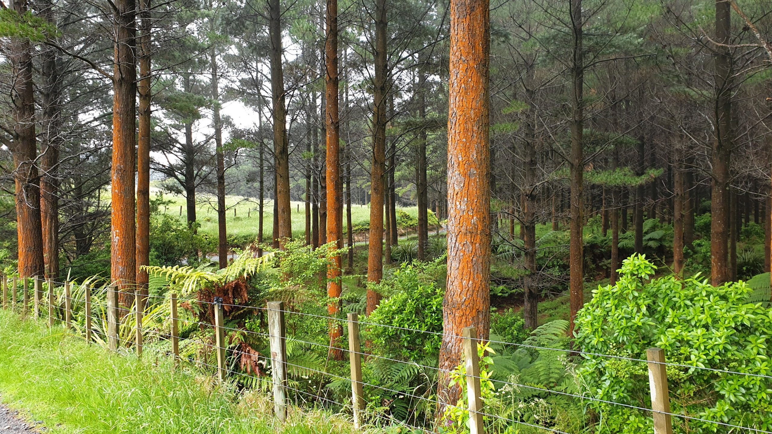
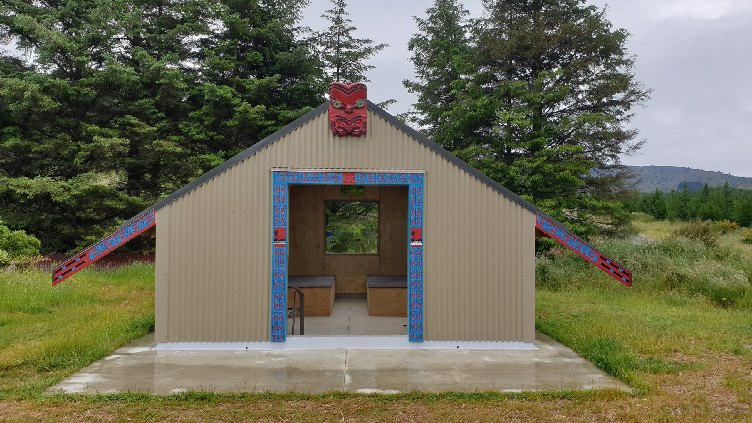
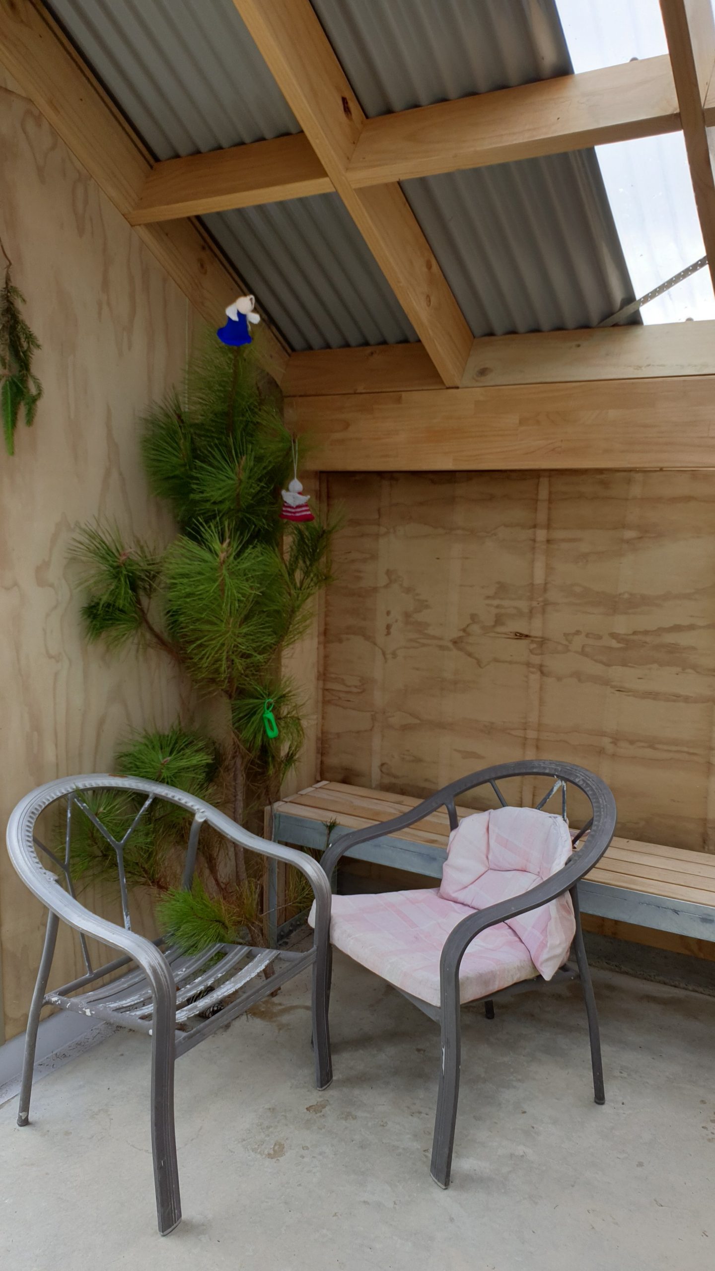
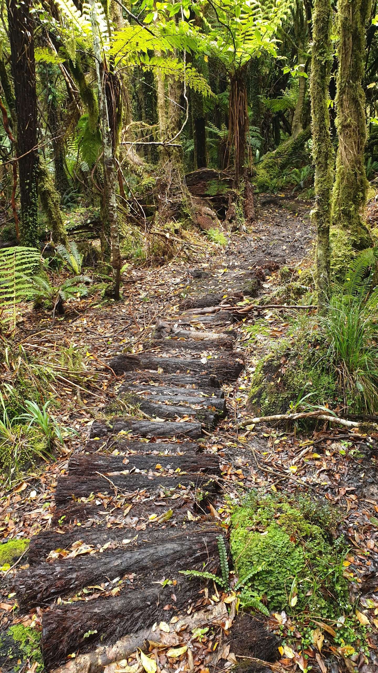
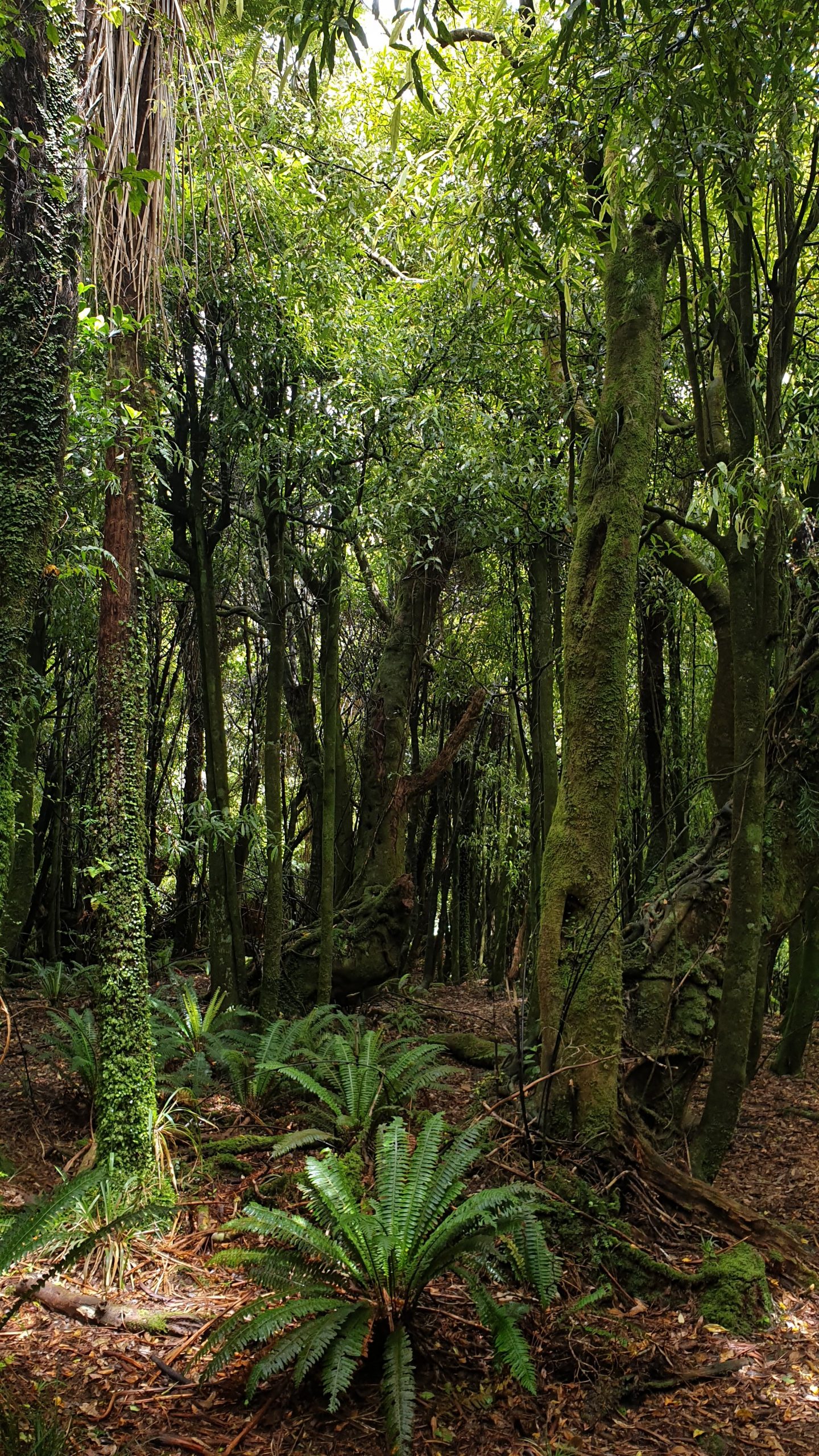
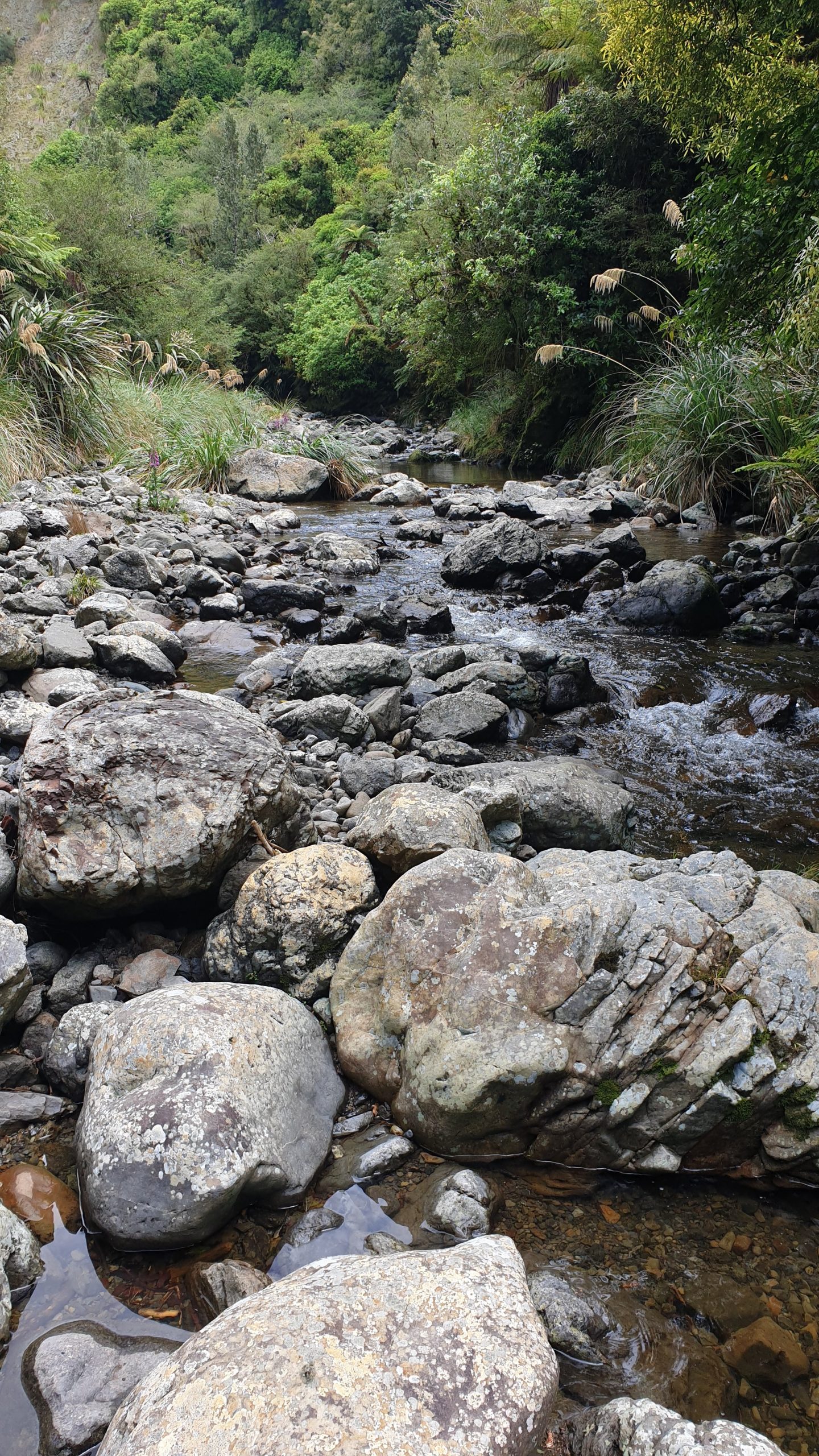
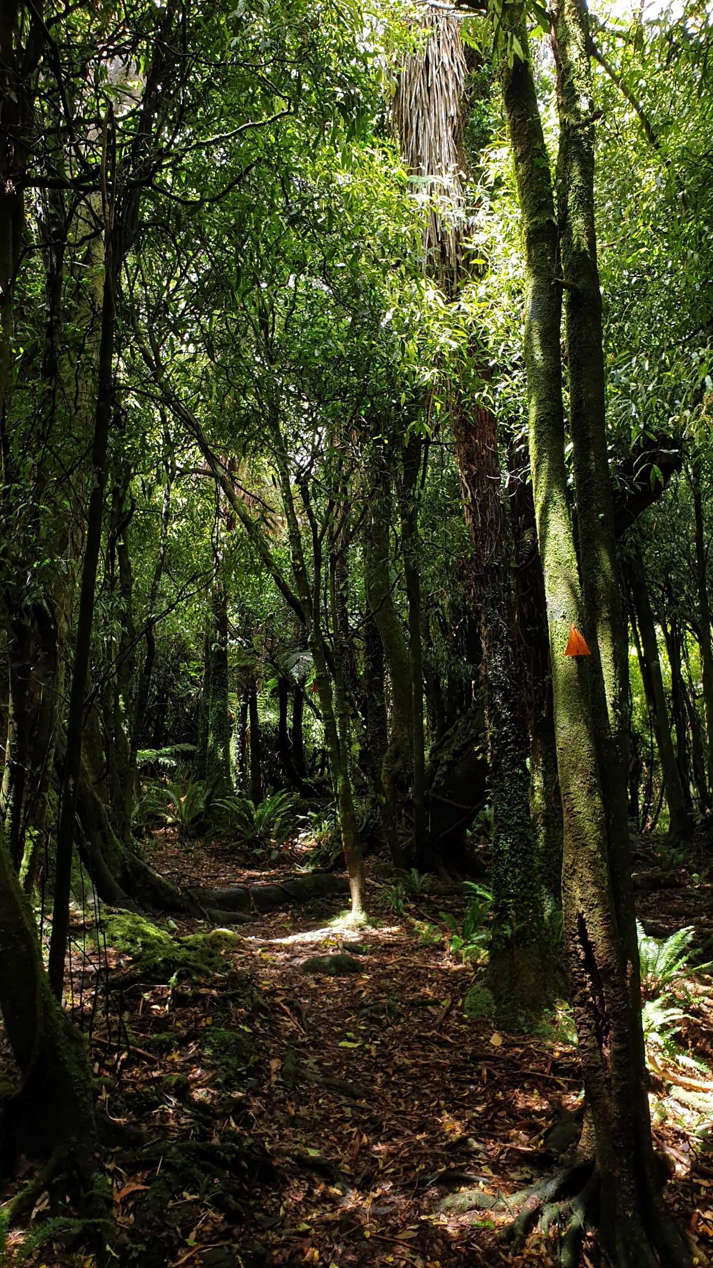
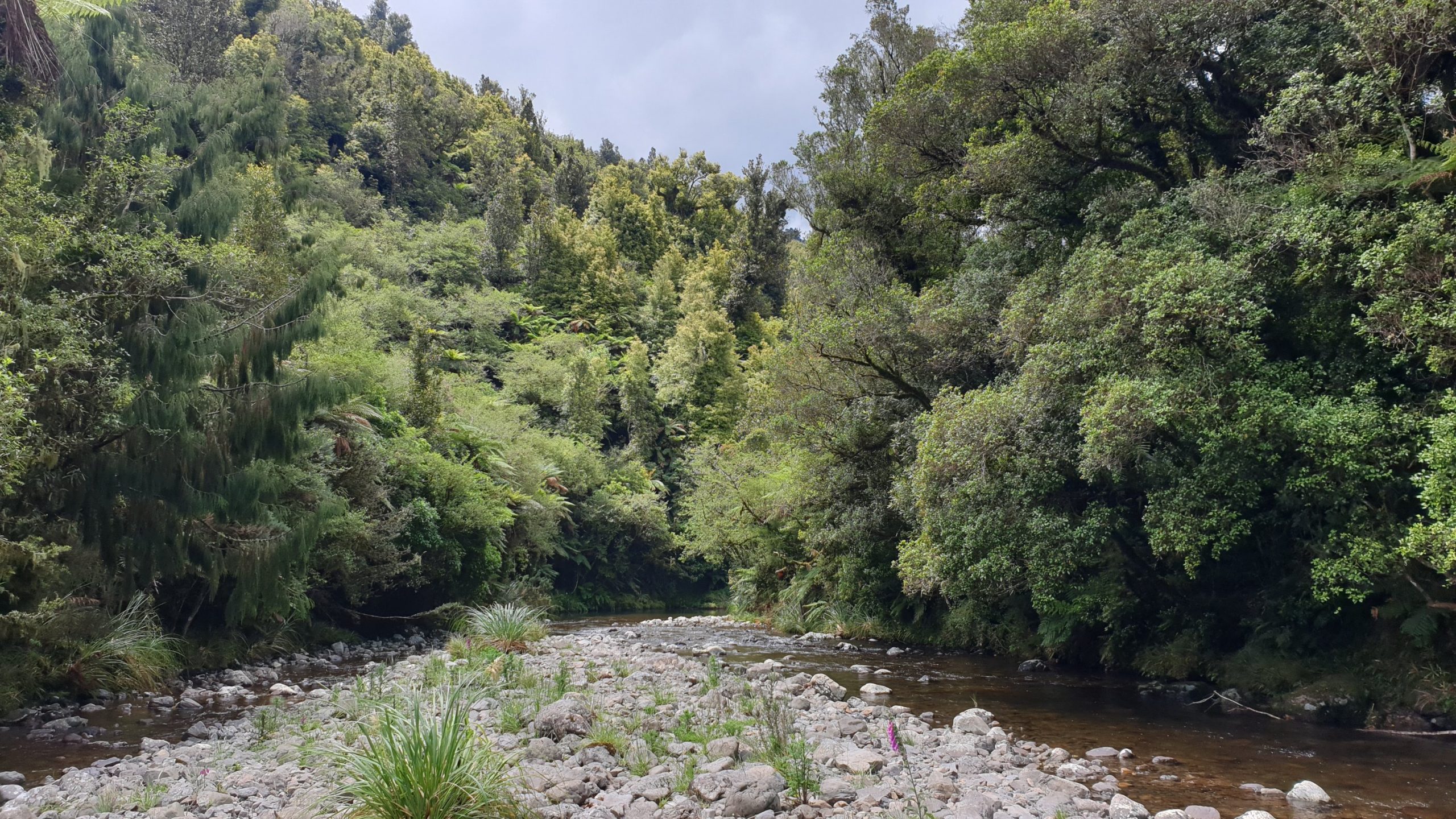
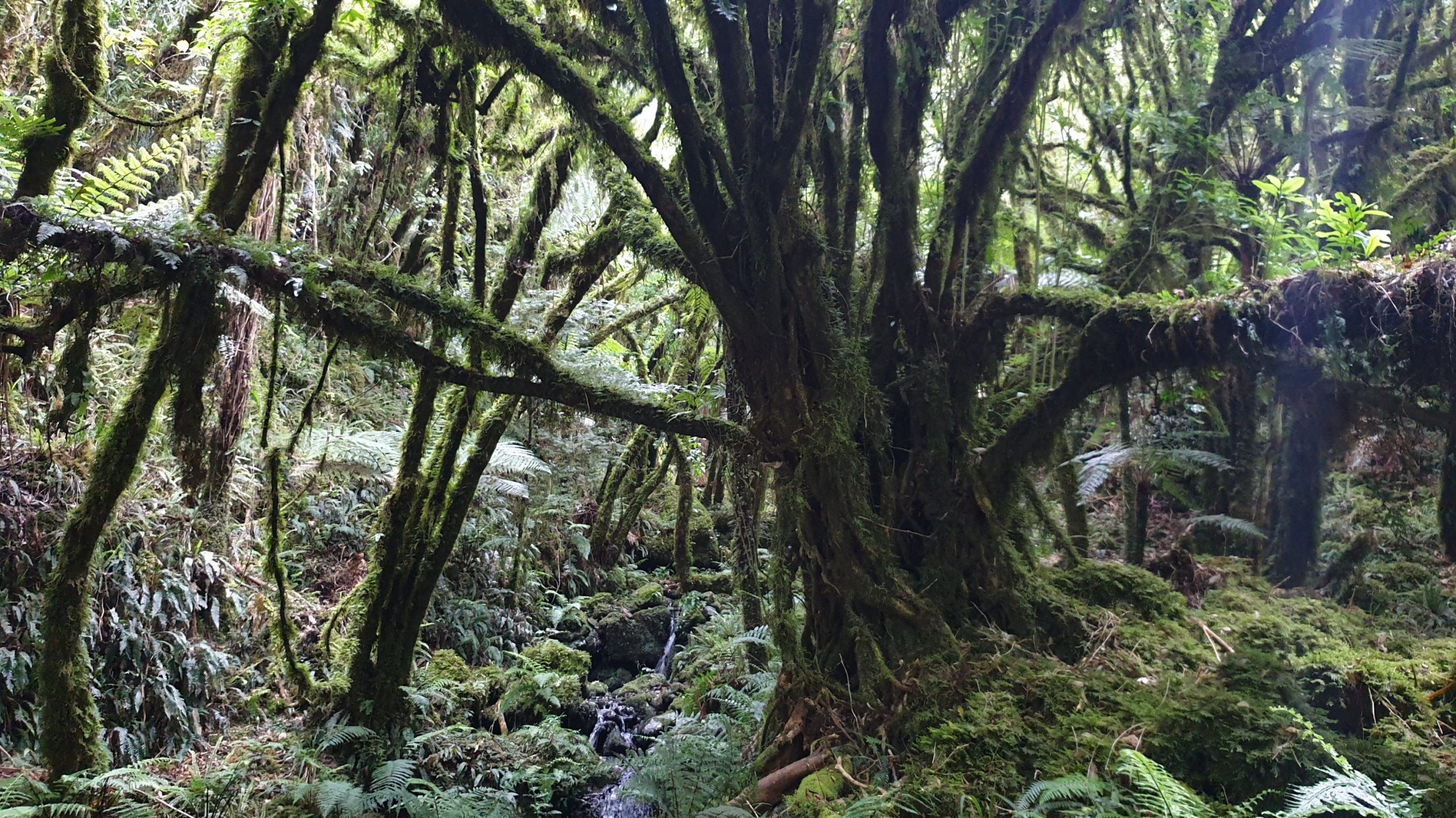
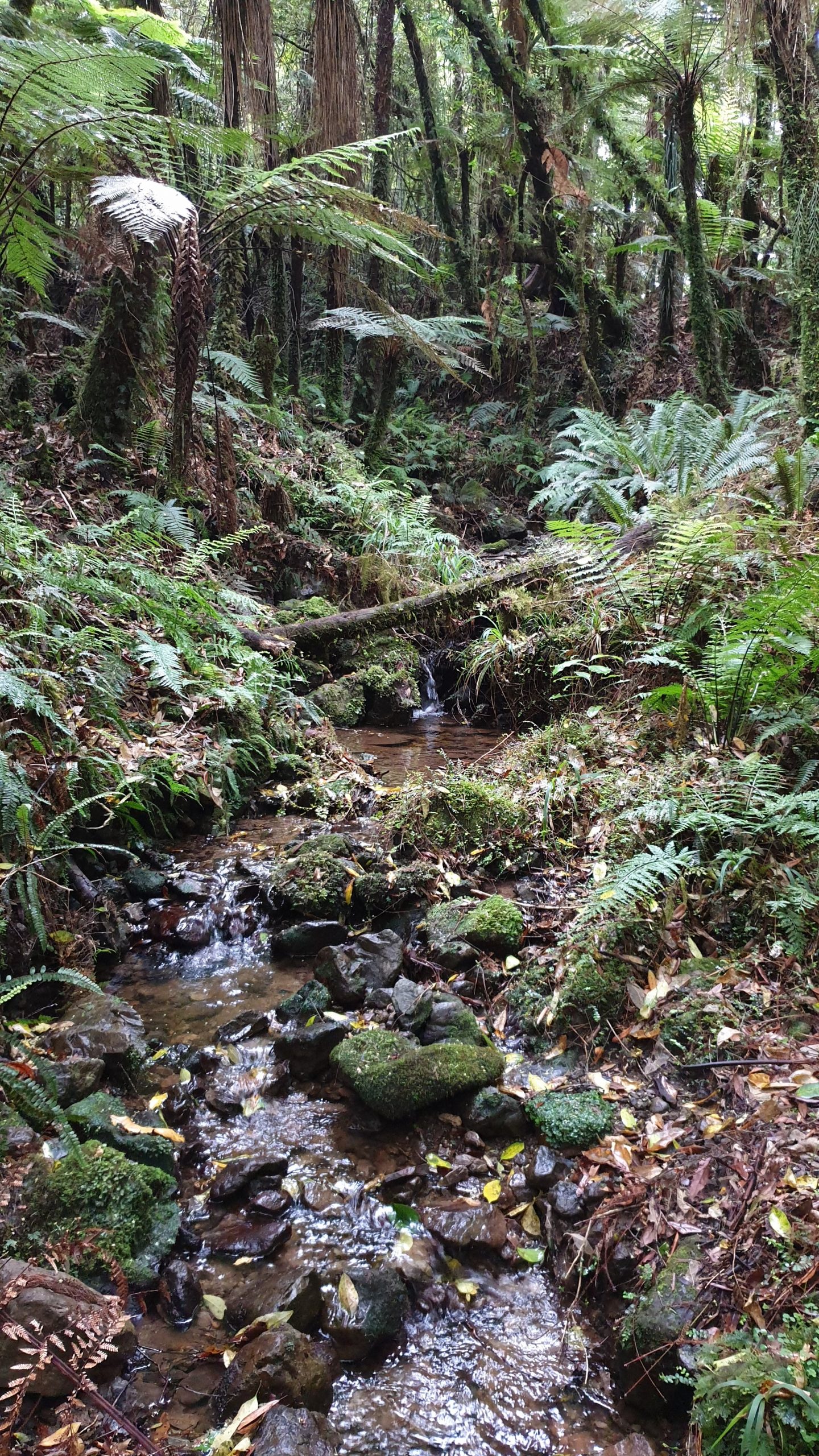
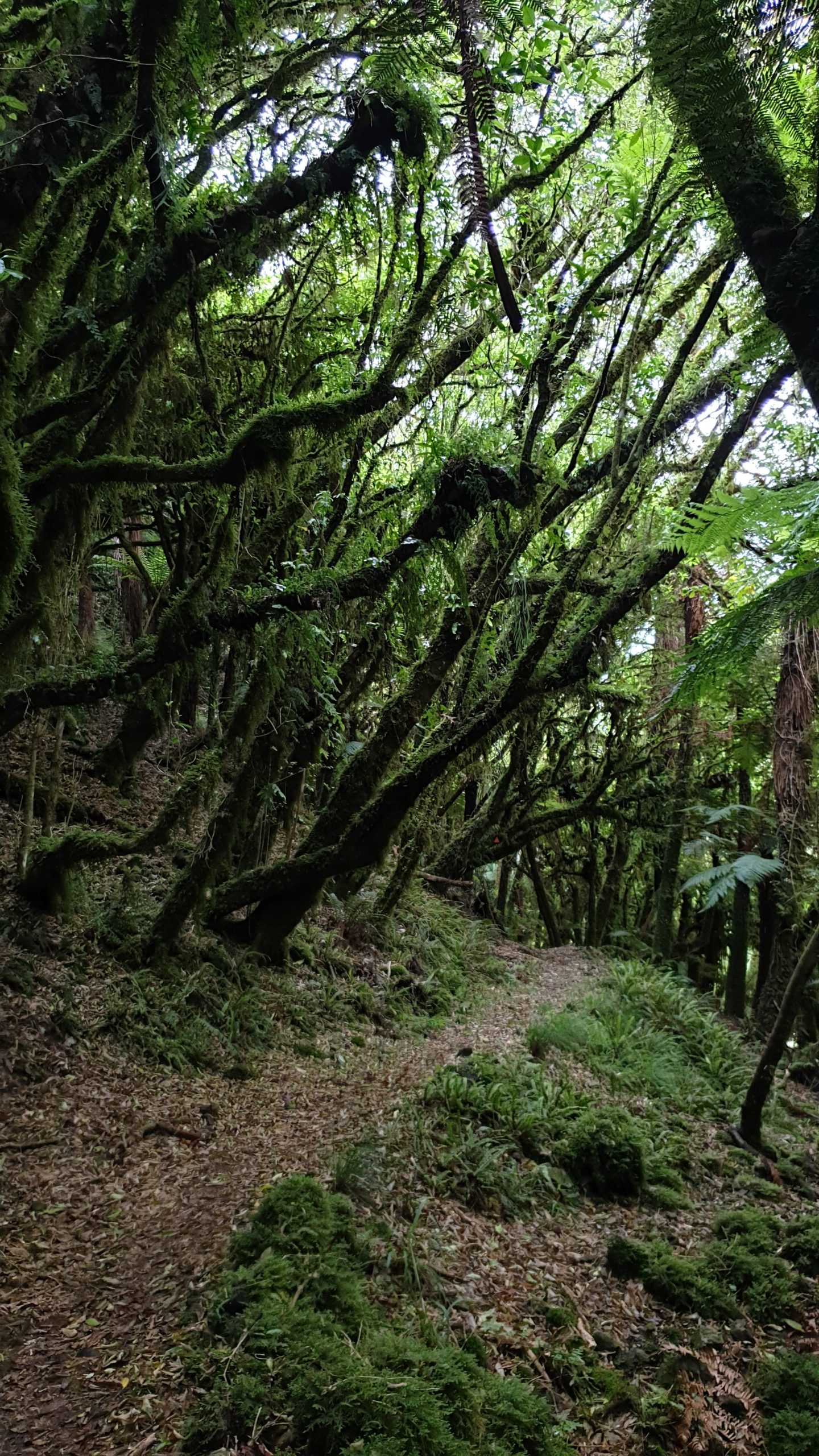
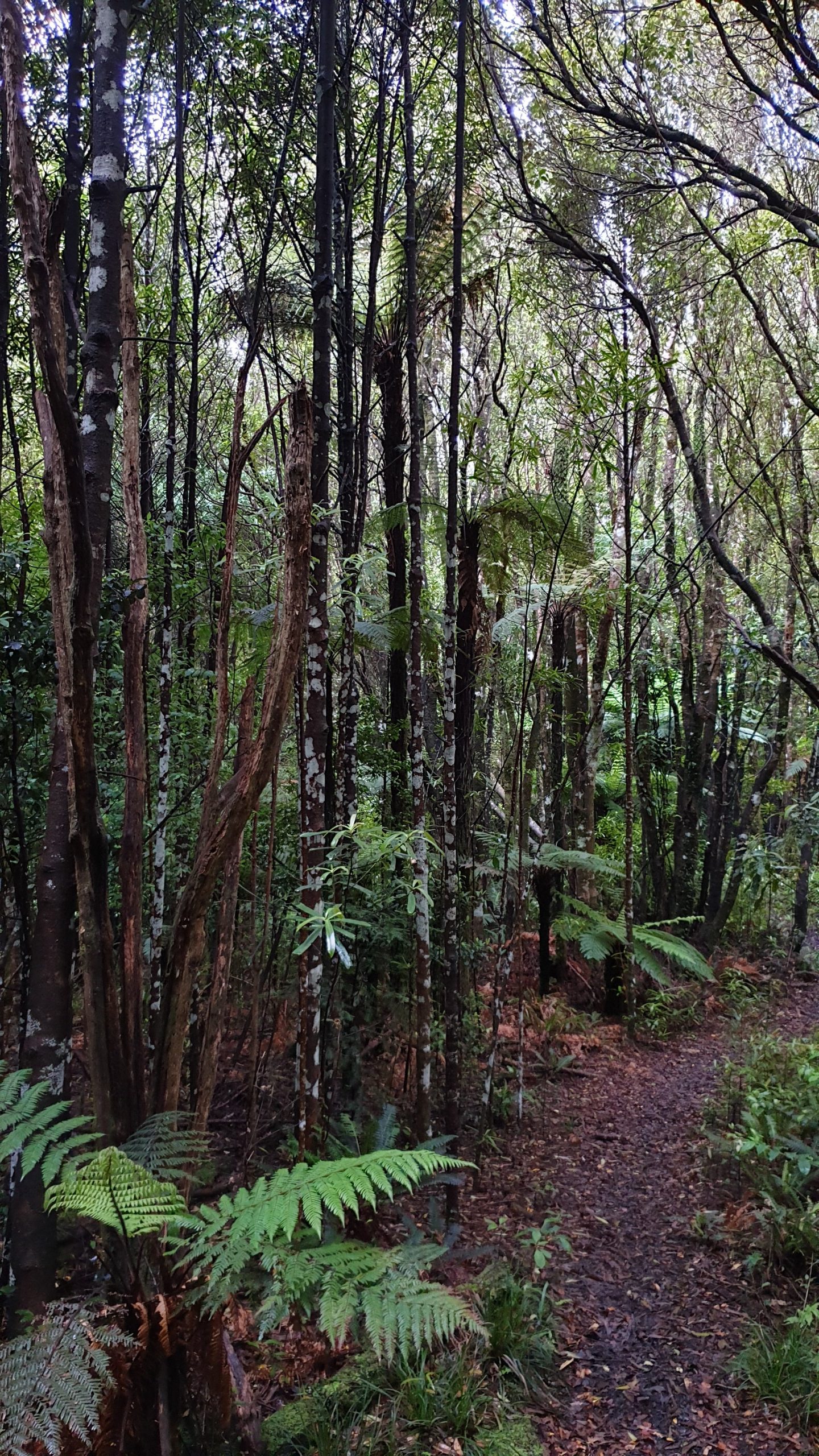
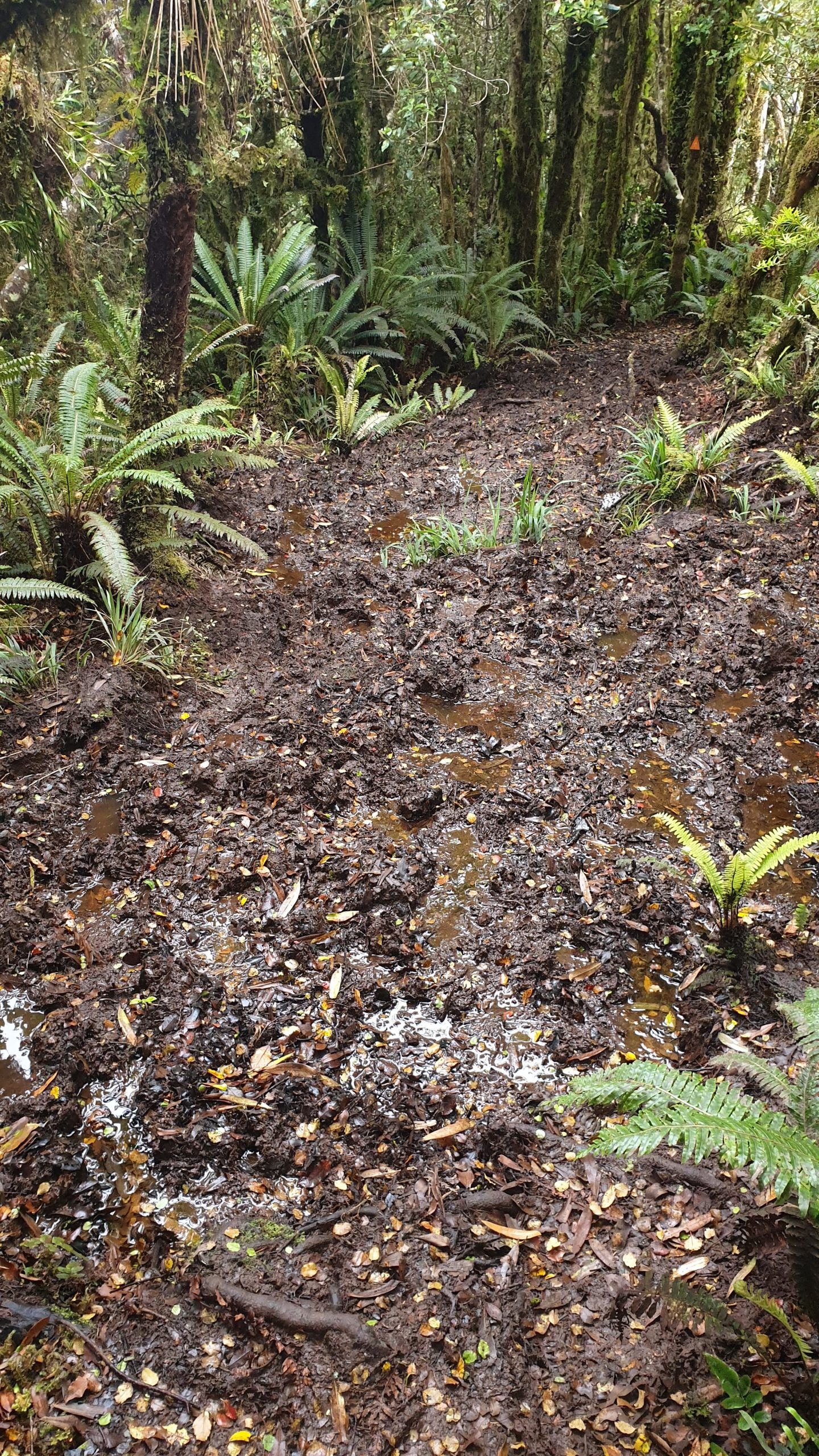
A few kilometres passed the shelter I headed into the bush. The track went downhill towards the river. It was somewhat muddy. There were many stream crossings and muddy sections throughout the whole day.
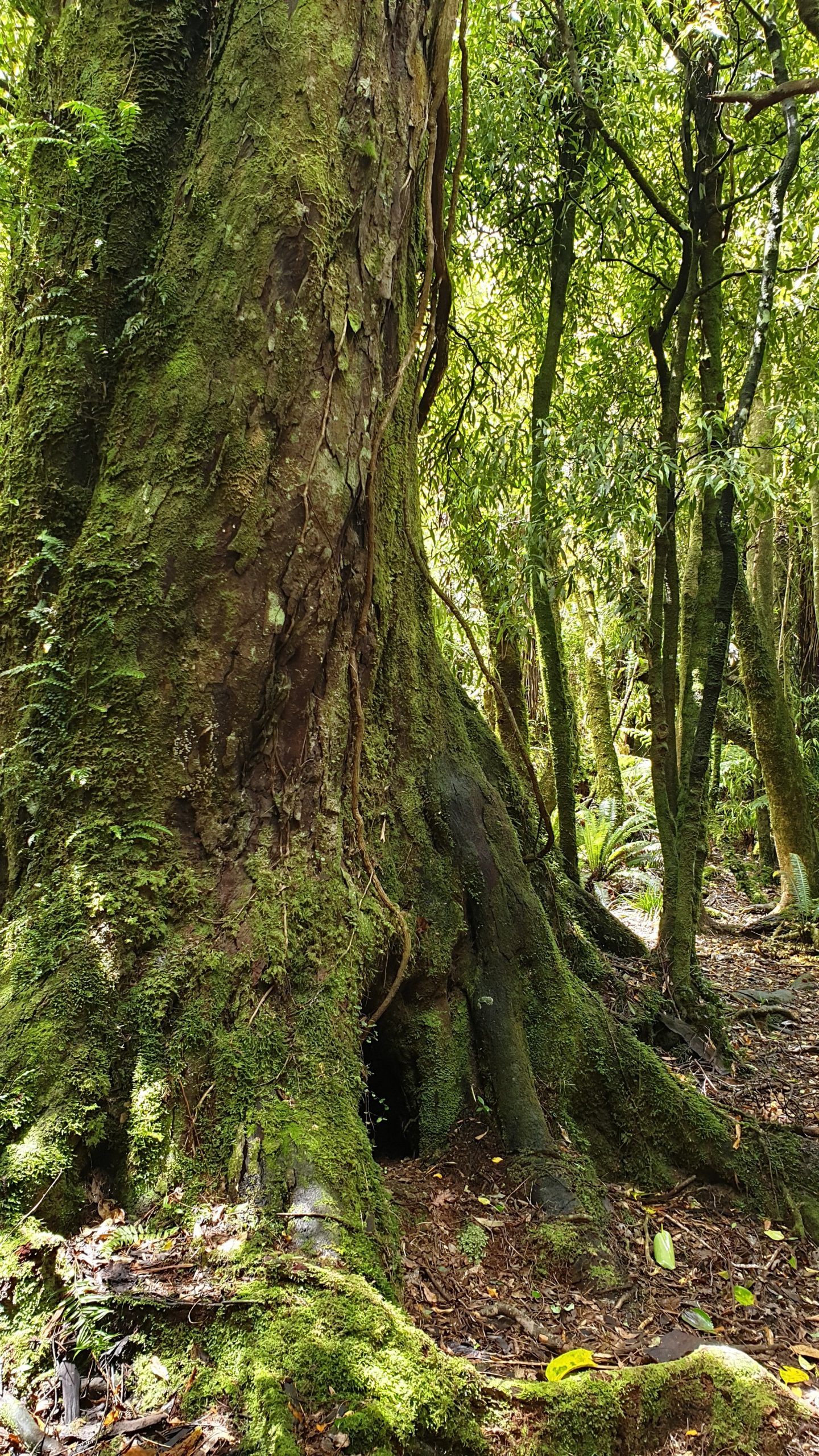
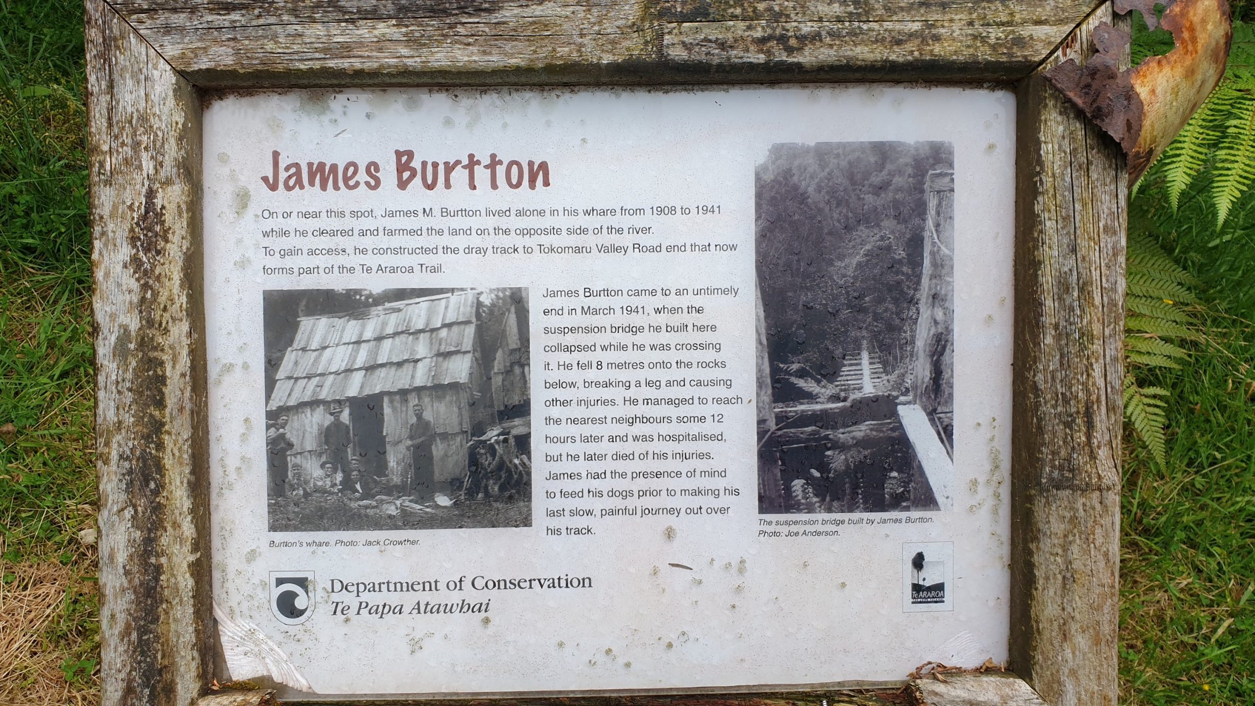
A part of this trail is called Burtton’s Track, named after the farmer who cut it in. He died after sustaining injuries after the collapse of his suspension bridge. He got himself out through the bush track, despite having several broken bones. He eventually died in hospital.
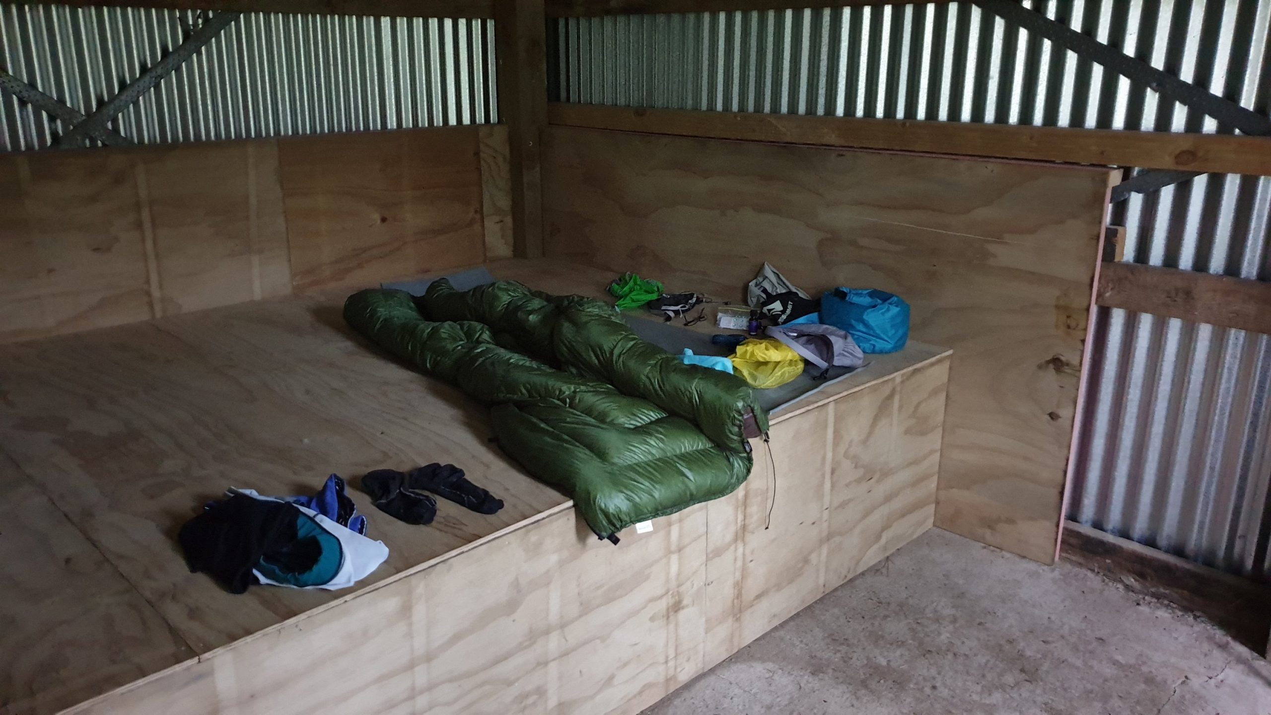
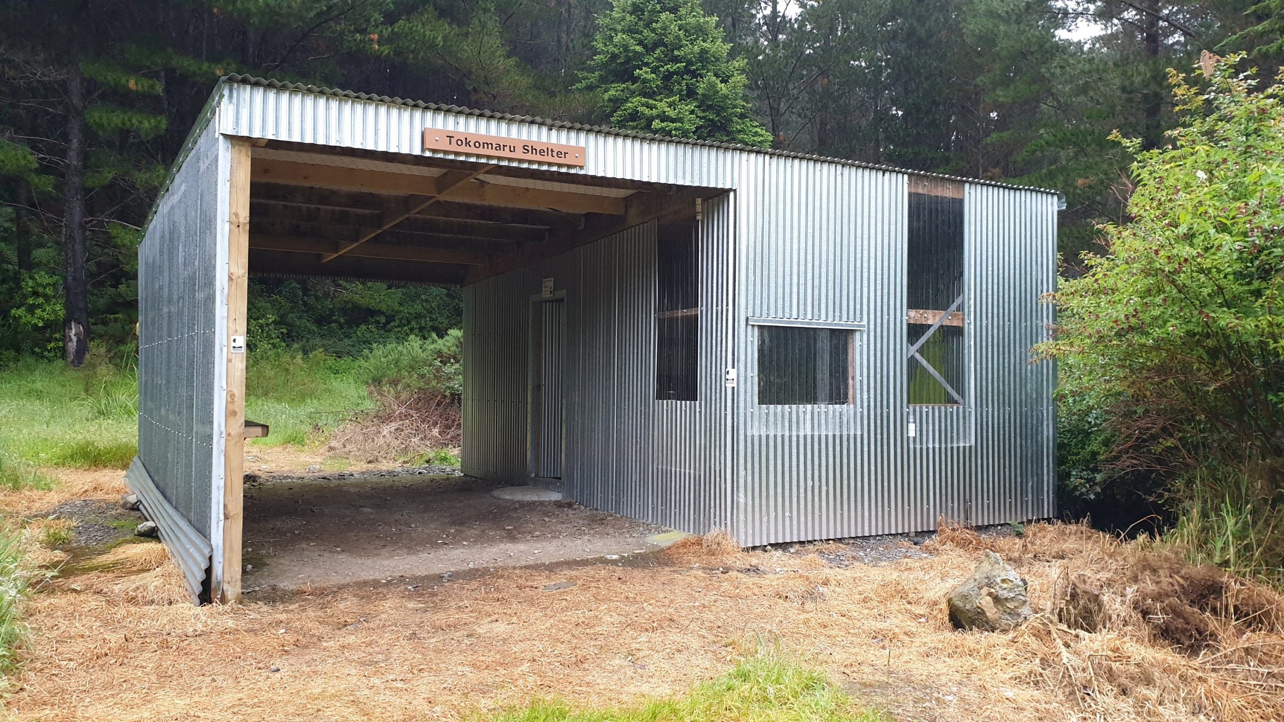
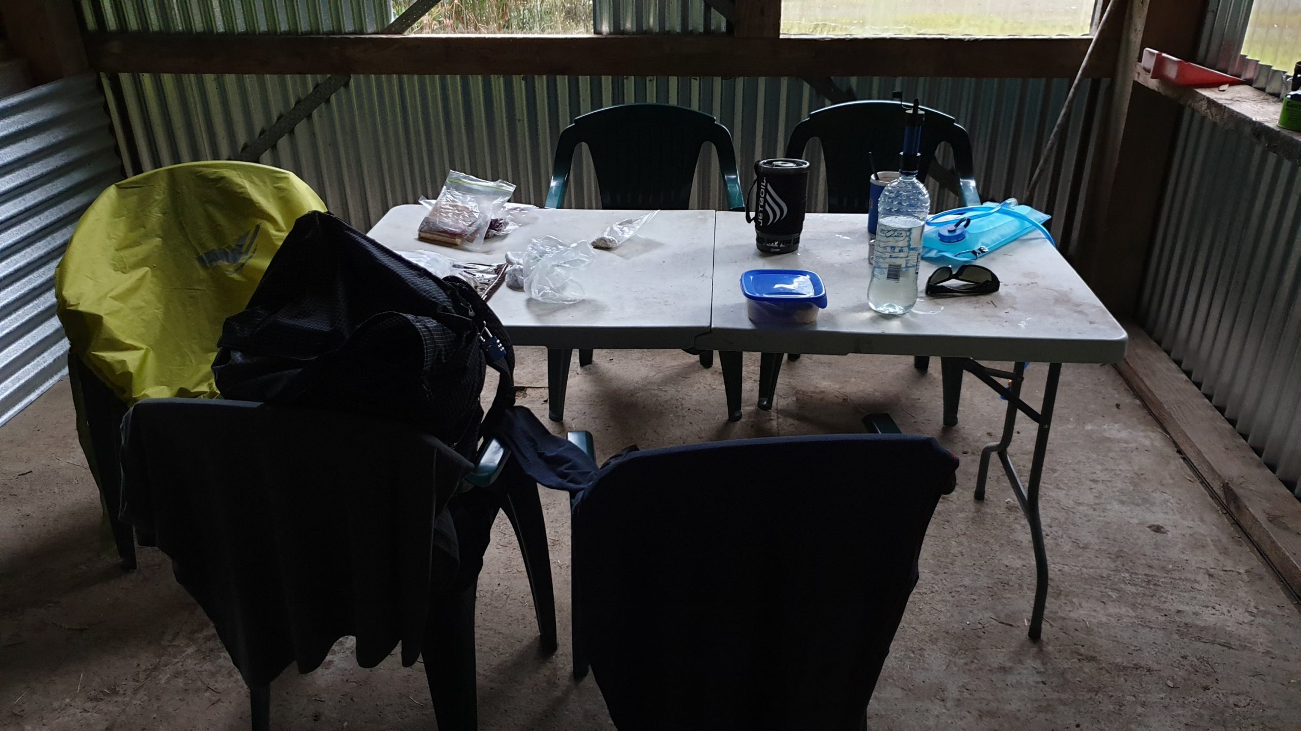
I got to the Tokomaru Shelter at 17h30. There was some drizzle that started about 1 hour before my arrival. I got some water from the stream, ate dinner and then some decent rain set in. Really pounding on the tin roof at times. The rain was accompanied with a bit of thunder.
Day 59
Km 18.5
Cumulative Km 734
Set off on a 3km road walk first, dirt road past a dam used for hydroelectric generator. Before I left I checked the stream level next to the shelter to see if the water level had increased at all as there were many stream and river crossings today. All was good, no change noticed.
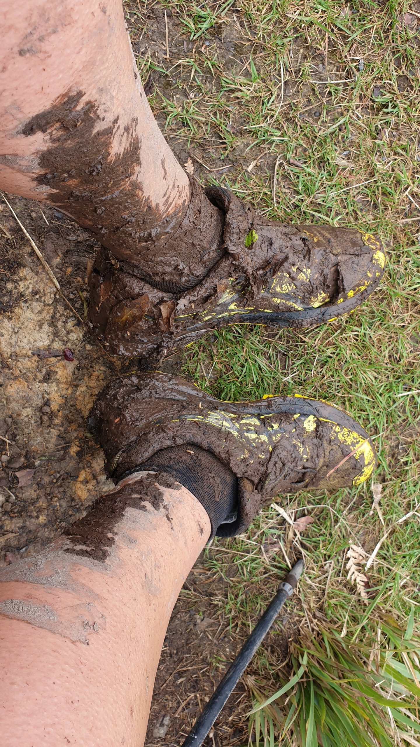
When I hit the start of the Mangahao-Makahika Track I didn’t realise how tough a day it would be. There was loads and loads of mud, not possible to avoid and I was covered in mud. The only relief from about half way was countless stream crossings where I could clean myself… to get dirty 20m later though.
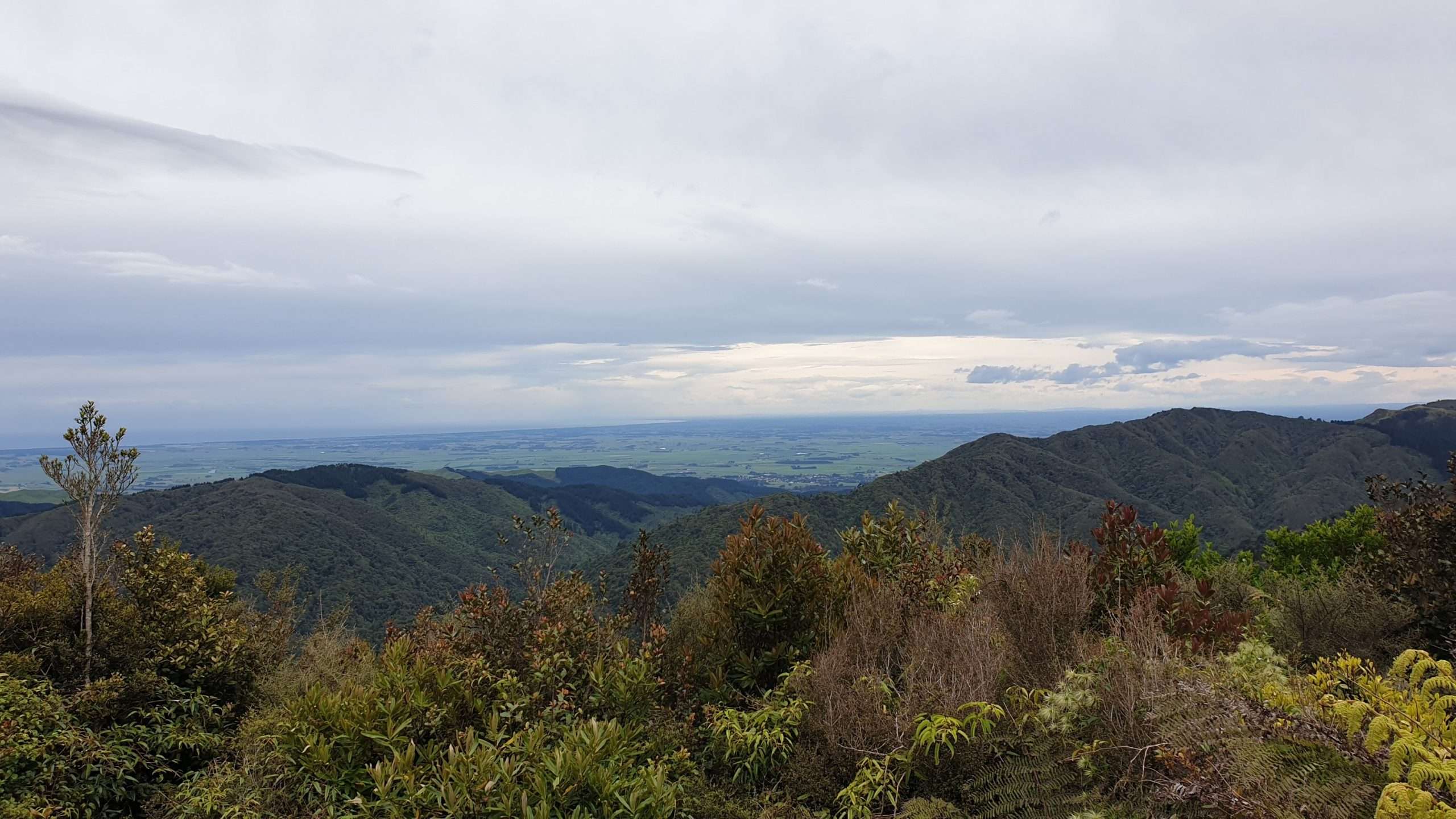
There were 2 lookouts from where there were nice views and then the slog continued. I caught my shoe in a root and then just heard the ripping of material. The whole half of the front of my shoe was ripped- oops!
The last part of the trail was through farmland then dirt road to lovely trail angels where I could camp or take a simple cabin. With much more rain forecast I went with the cabin…and glad I did.
The trail angels are well versed on the weather and conditions for the Tararua Ranges section ahead- a short 45km- but very tough section. There were predictions of gale force winds, heavy rain and possibly snow. So I decided it would be safer to skip for the moment.
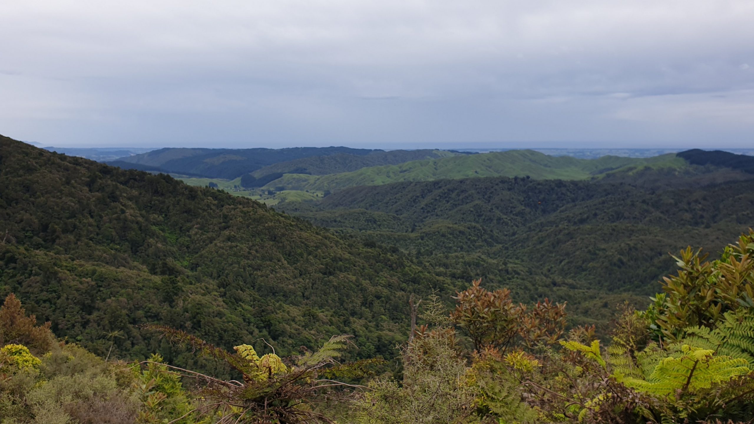
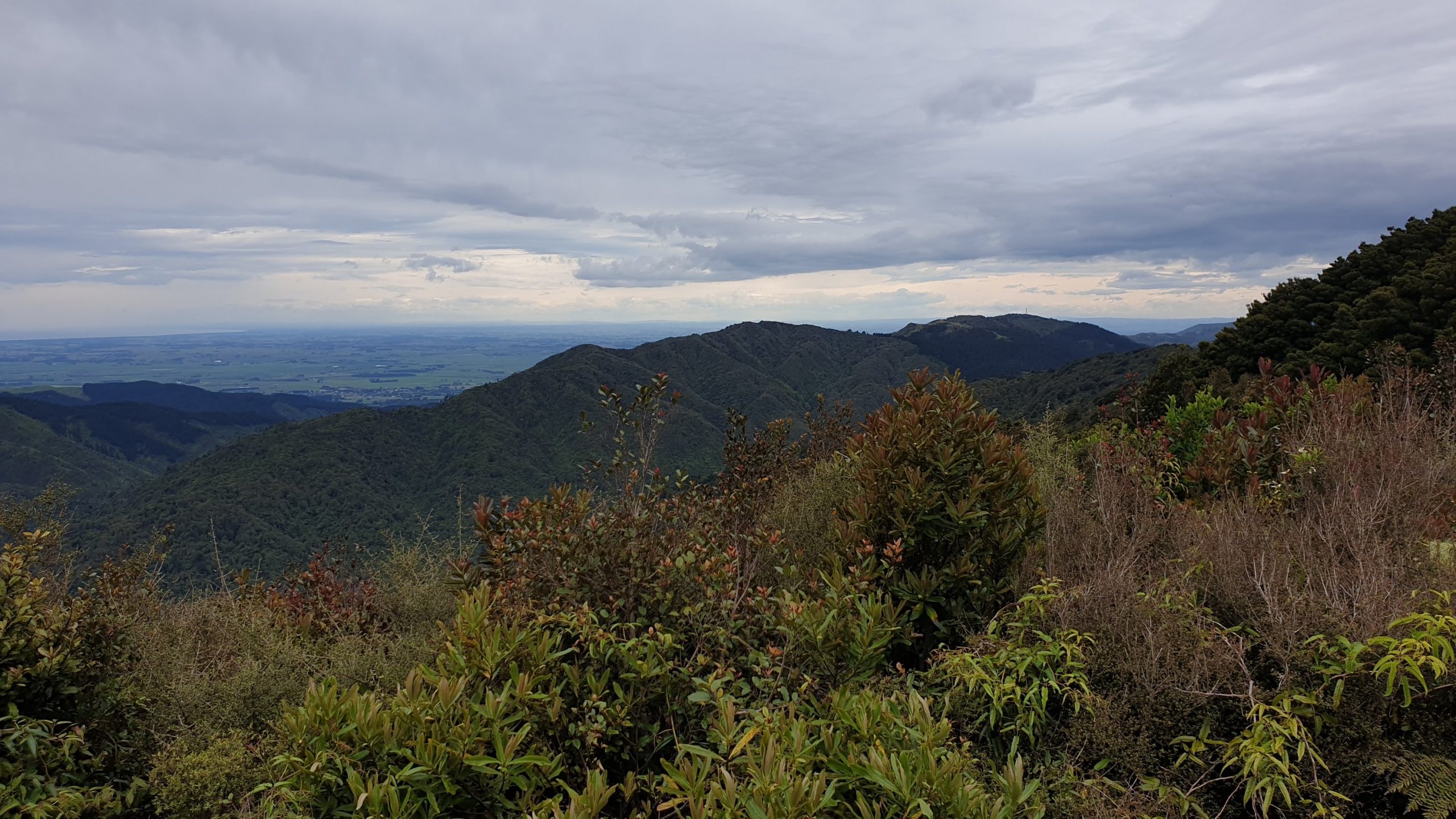
Day 60
18 December 2019
Km 0
Cumulative Km 734
Two months on the trail!!
With continued rain overnight I was glad to be in the cabin! John, the trail angel was going into Levin and took myself and Nadine- another TA hiker who arrived later in the evening.
Upon arrival we went to the isite, me to get a bus ticket to Otaki- where there are many outlet shops to hopefully find shoes- and then to Paraparaumu- where I would meet another friend from South Africa. Sulandi and I worked together at Voorspoed Mine.
Sulandi & kids picked me up from the bus station and she started preparing dinner when we arrived home. A feast of lamb, chicken, rice, potatoes, carrots, cream spinach and courgettes!!! Total yummy-ness! Many thanks!!
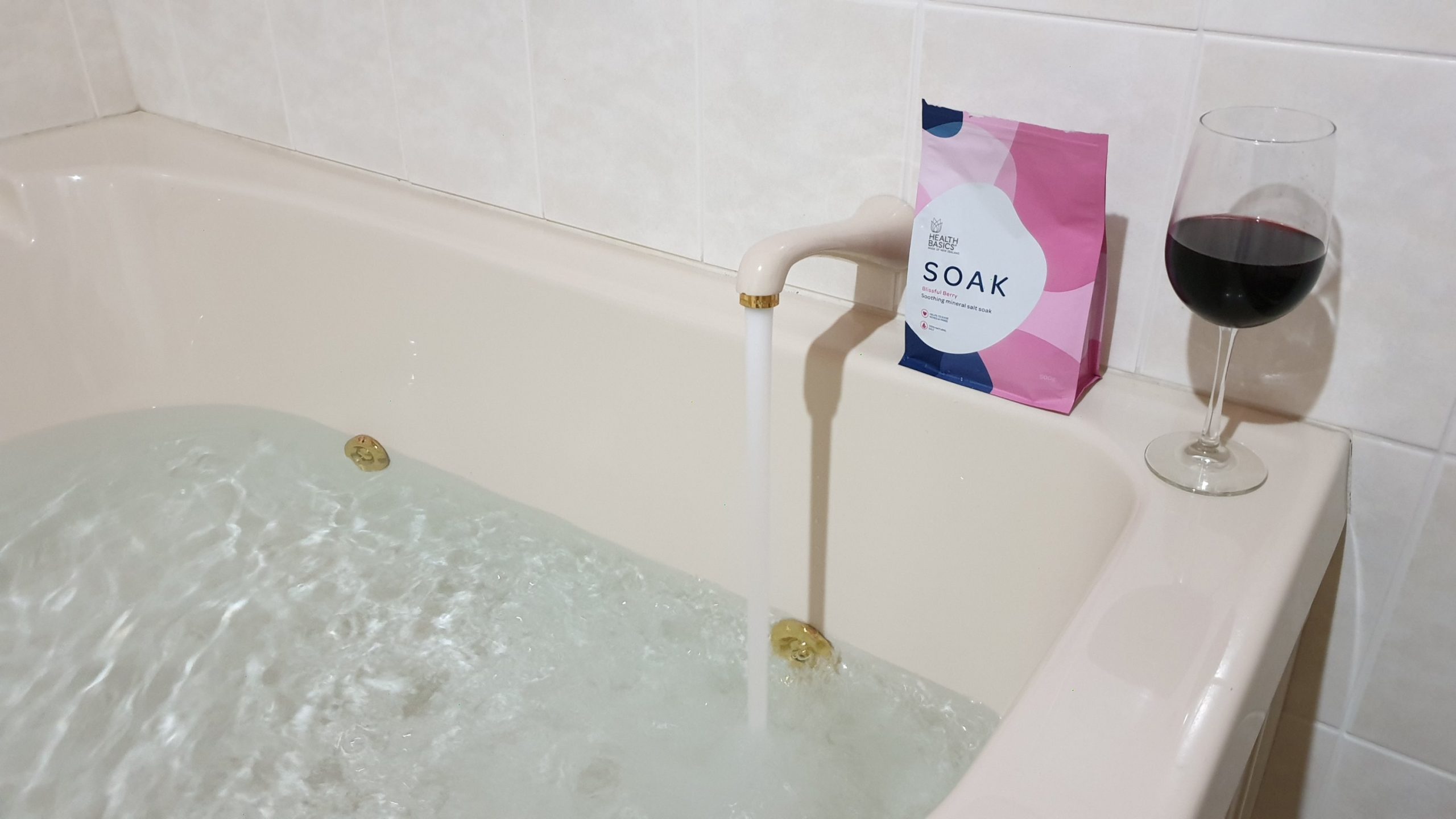
Then that evening I had a wine in the hot tub with jets going! Great!
Hawke’s Bay
Day 54
12 December 2019
Km 0
Cumulative Km 694
Today was a rest day and I only did a few kilometres between cafes and McDonalds for soft serve ice cream . 🙂
I had a morning and part of the afternoon to kill as I waited for my 3pm bus to Palmerston North.
I decided not to do the 5 day canoeing trip mainly because if I didn’t like it a few hours in then 5 days was not a good idea!!Then from Whanganui to Palmerston North is 99% road walking .
I did however have something to look forward to- my Kiwi friend- Ross- from the Antarctica trip was due to pick me up and take me to his place for a long weekend- he took Friday and Monday off.We got into Hastings at about 21h30.
Day 55
Km 0
Cumulative Km 694
After a hearty breakfast we set out to explore the Hawke’s Bay area. I haven’t been to these parts before, so I was excited.Our exploring started in Napier. Napier was nearly completely flattened after the 1931 7.8 magnitude earthquake that struck it. In rebuilding it, the modern Art Deco style of the 1920s was used for the entire city centre and is proudly preserved today! The town planners also took the opportunity to widen all the streets as they were very narrow pre earthquake.
There was a large passenger liner docked today so old cars and people dressed up in period costumes were also around.We got a self guided Art Deco pamphlet from the information centre and walked around the centre reading up about the different buildings.
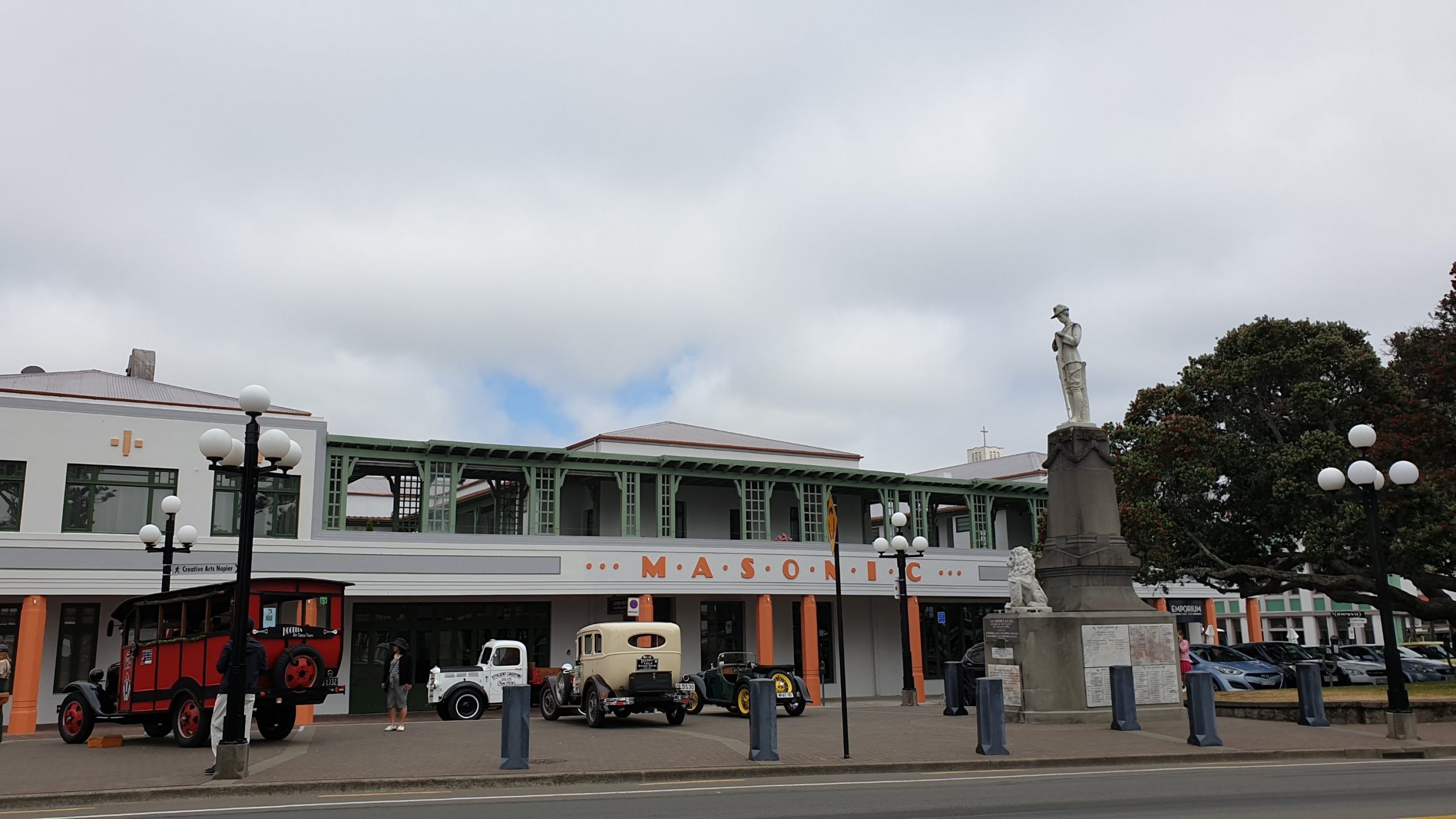
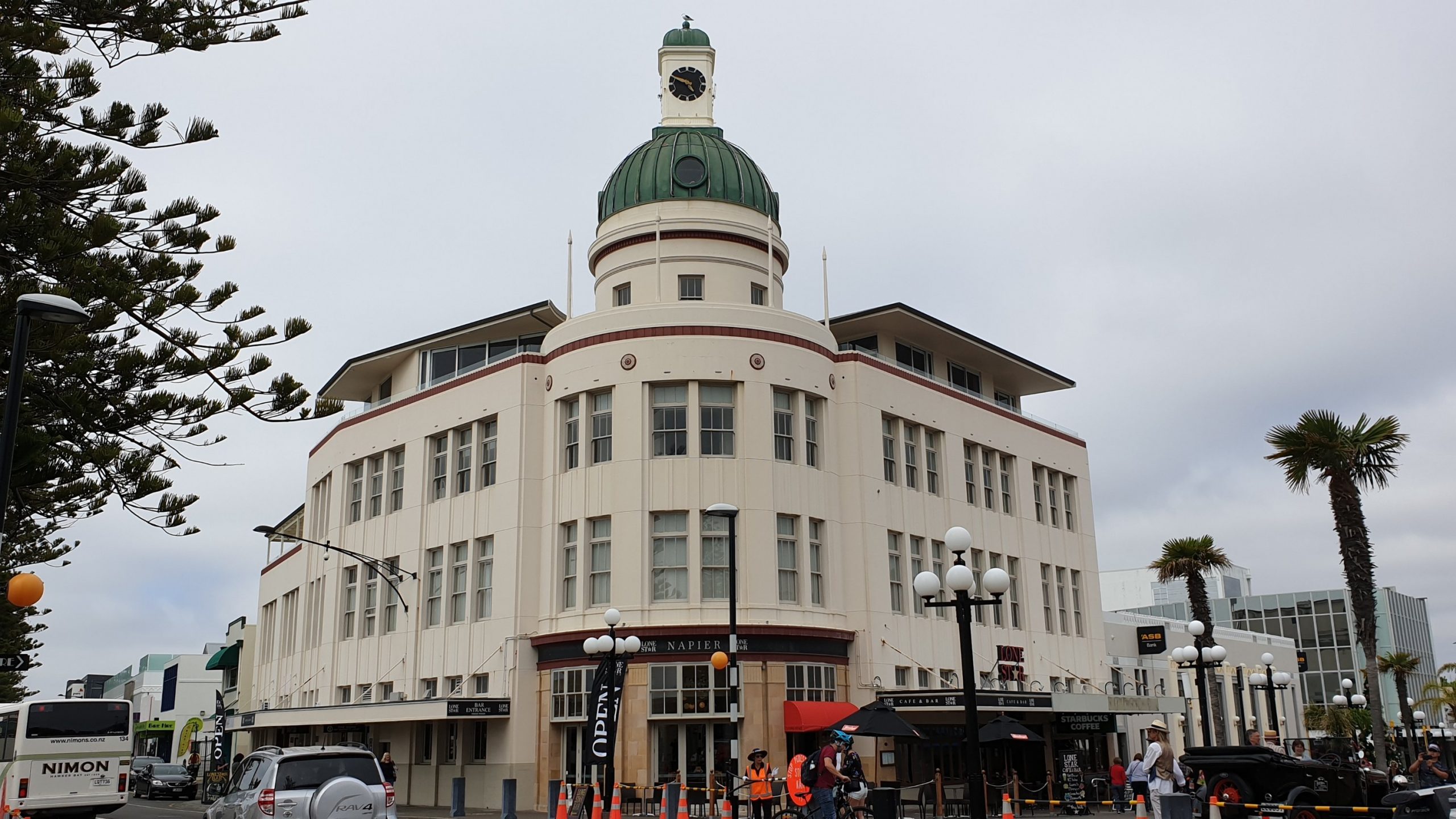
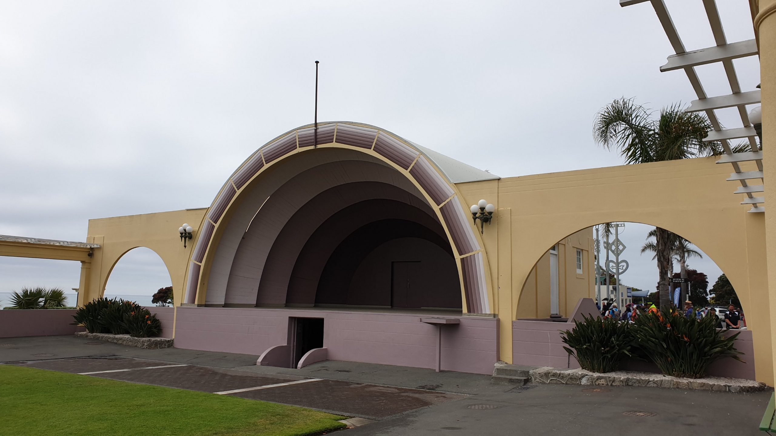
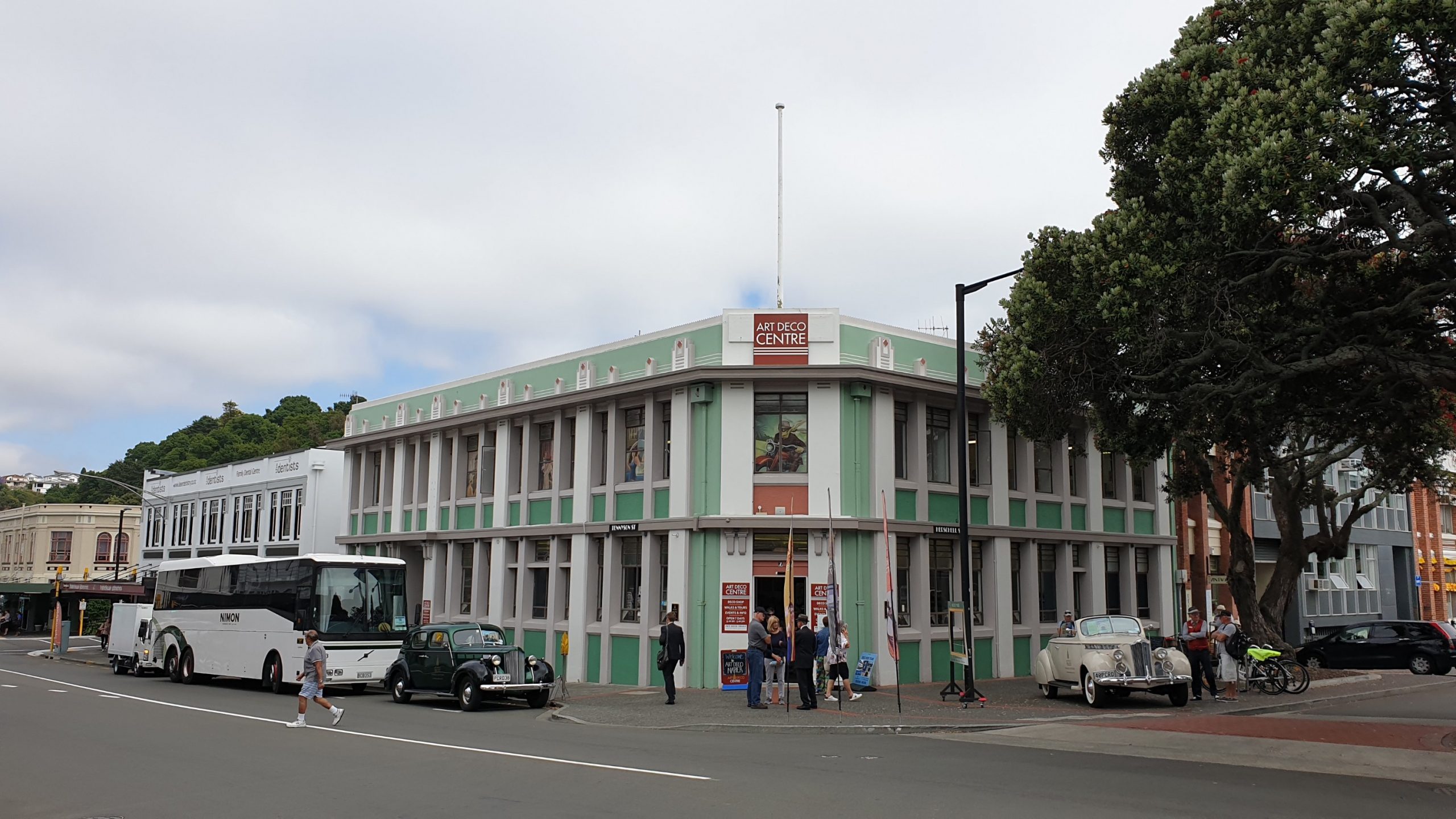
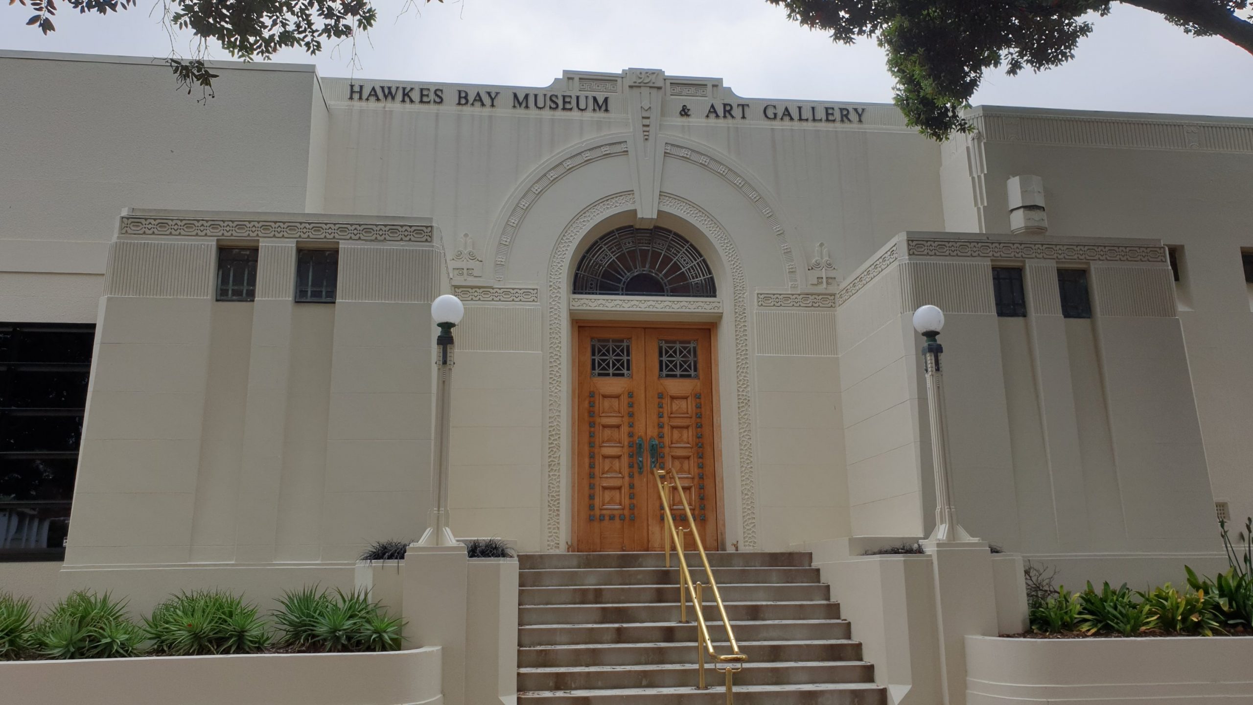
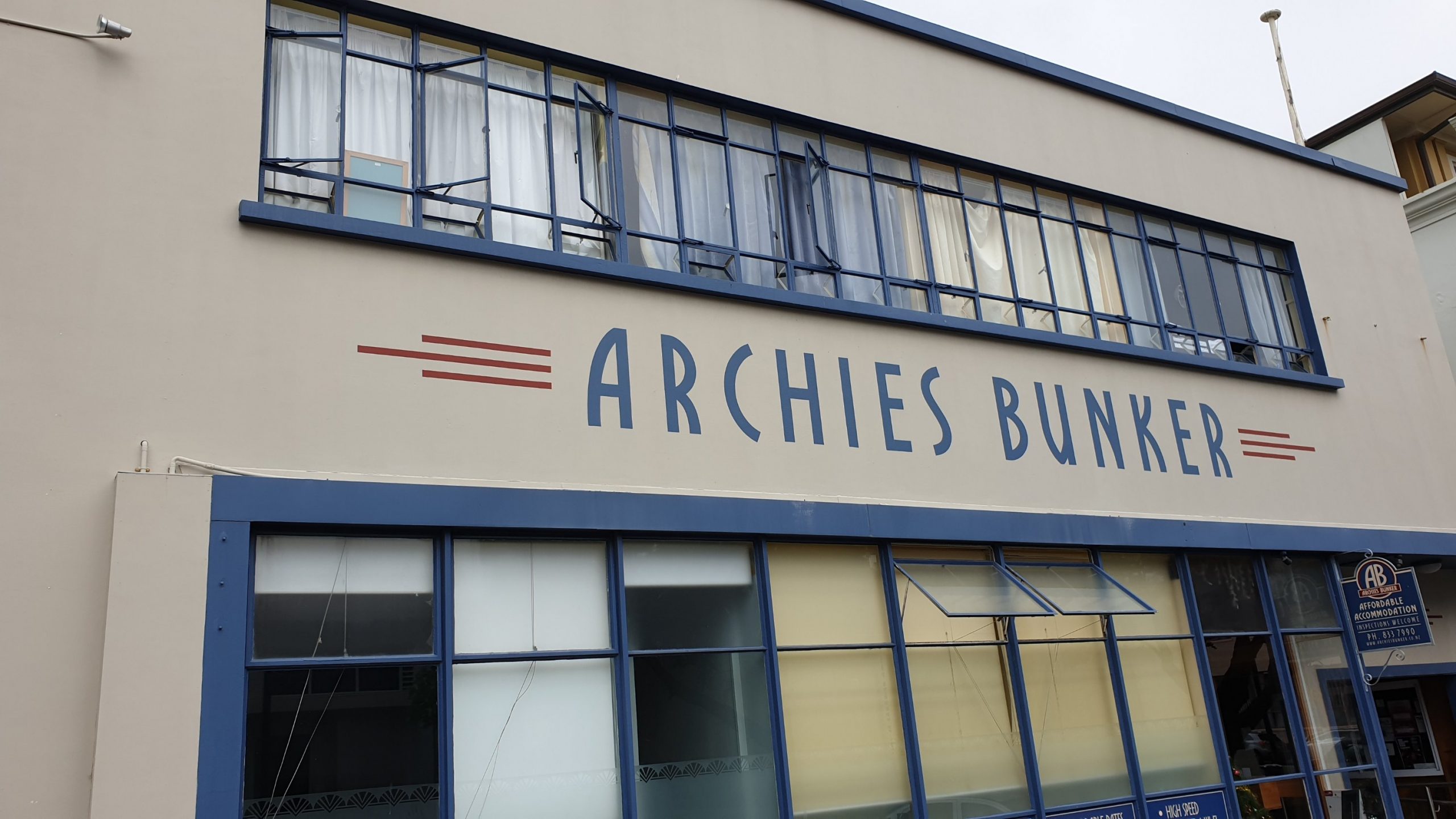
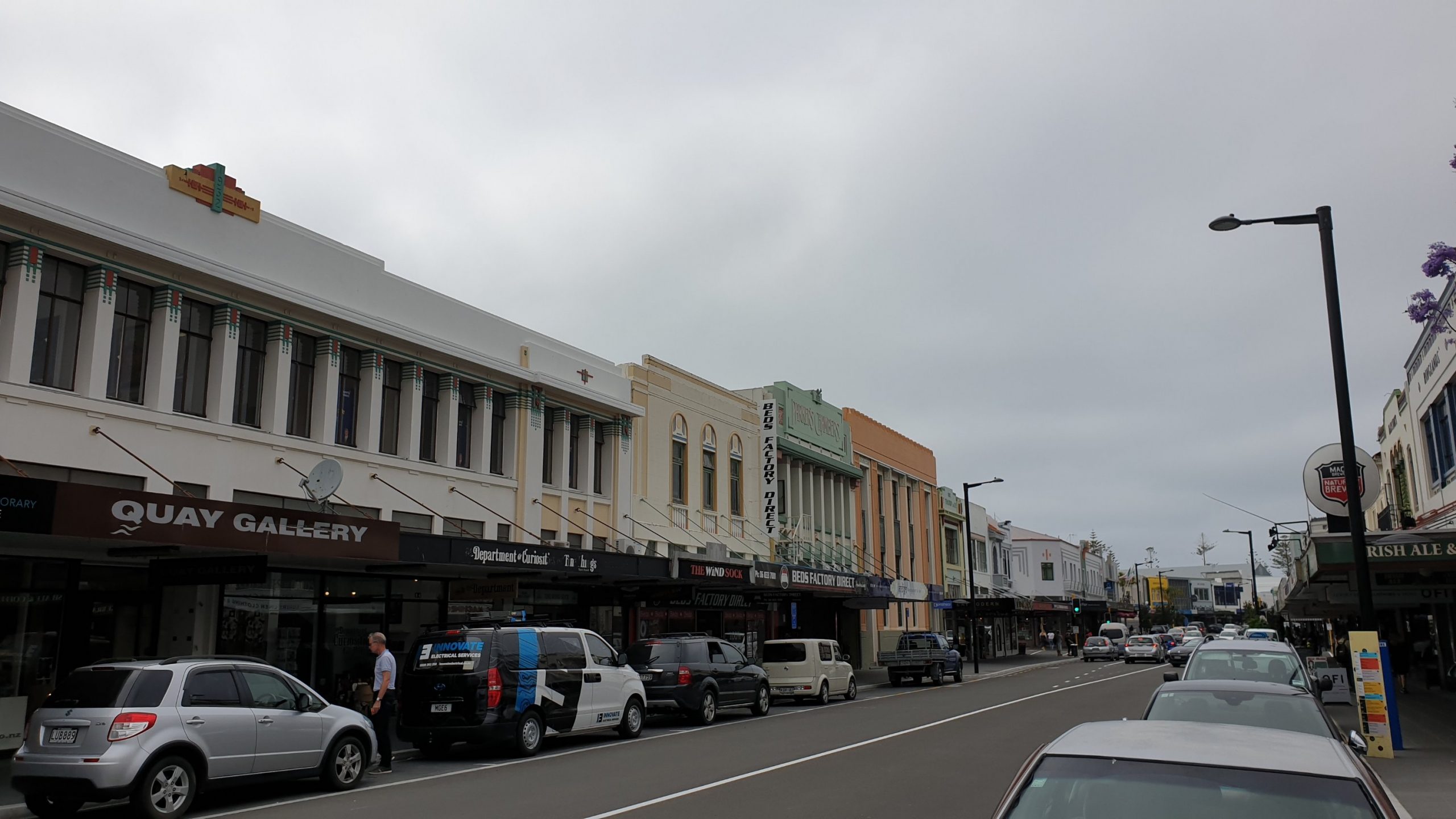
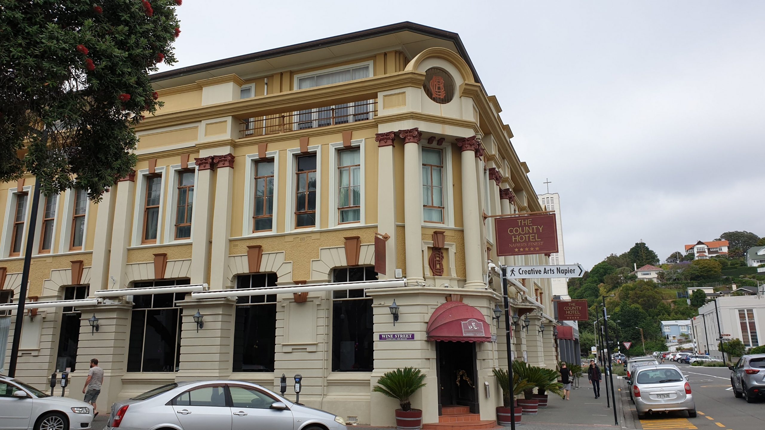
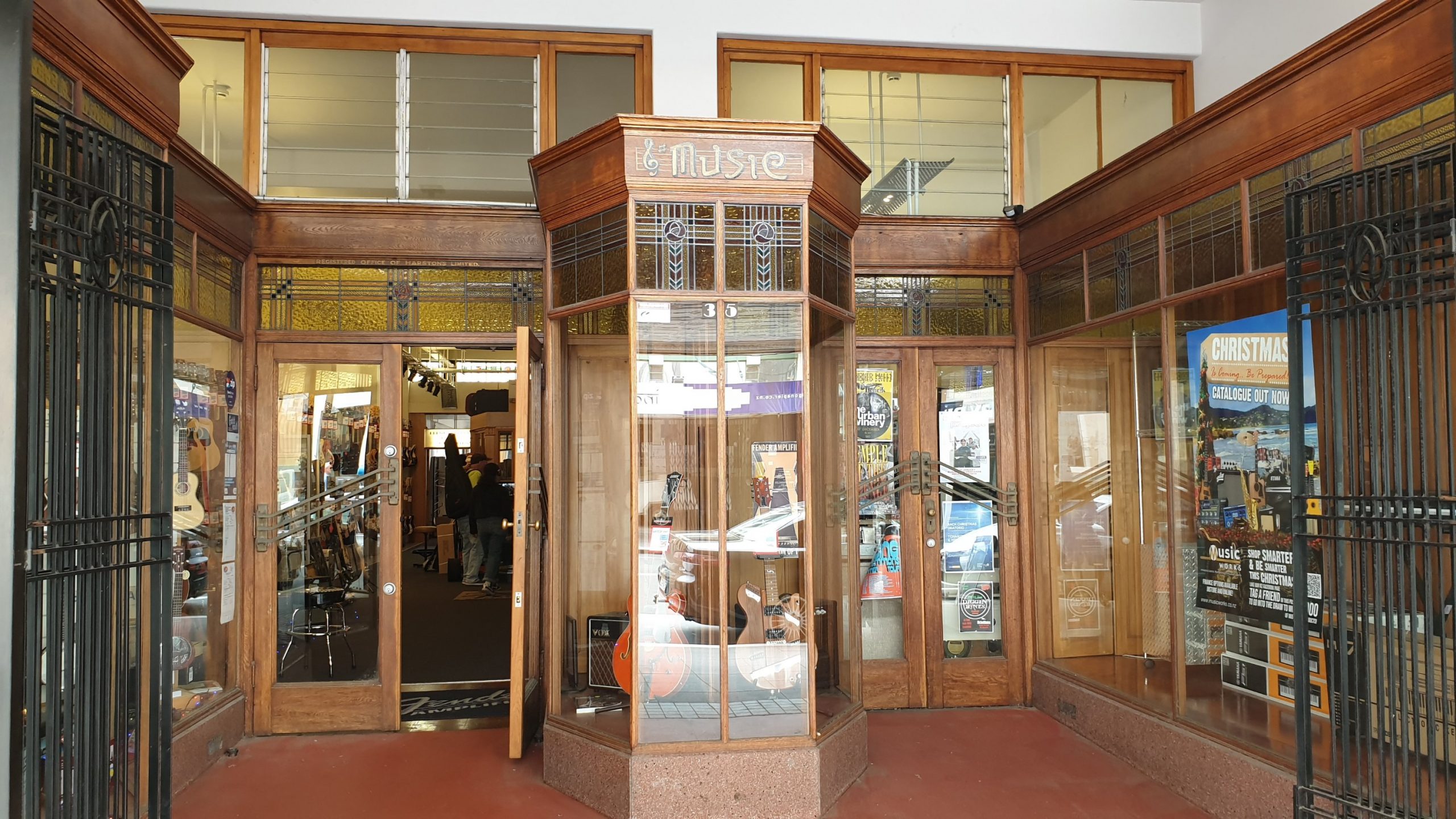


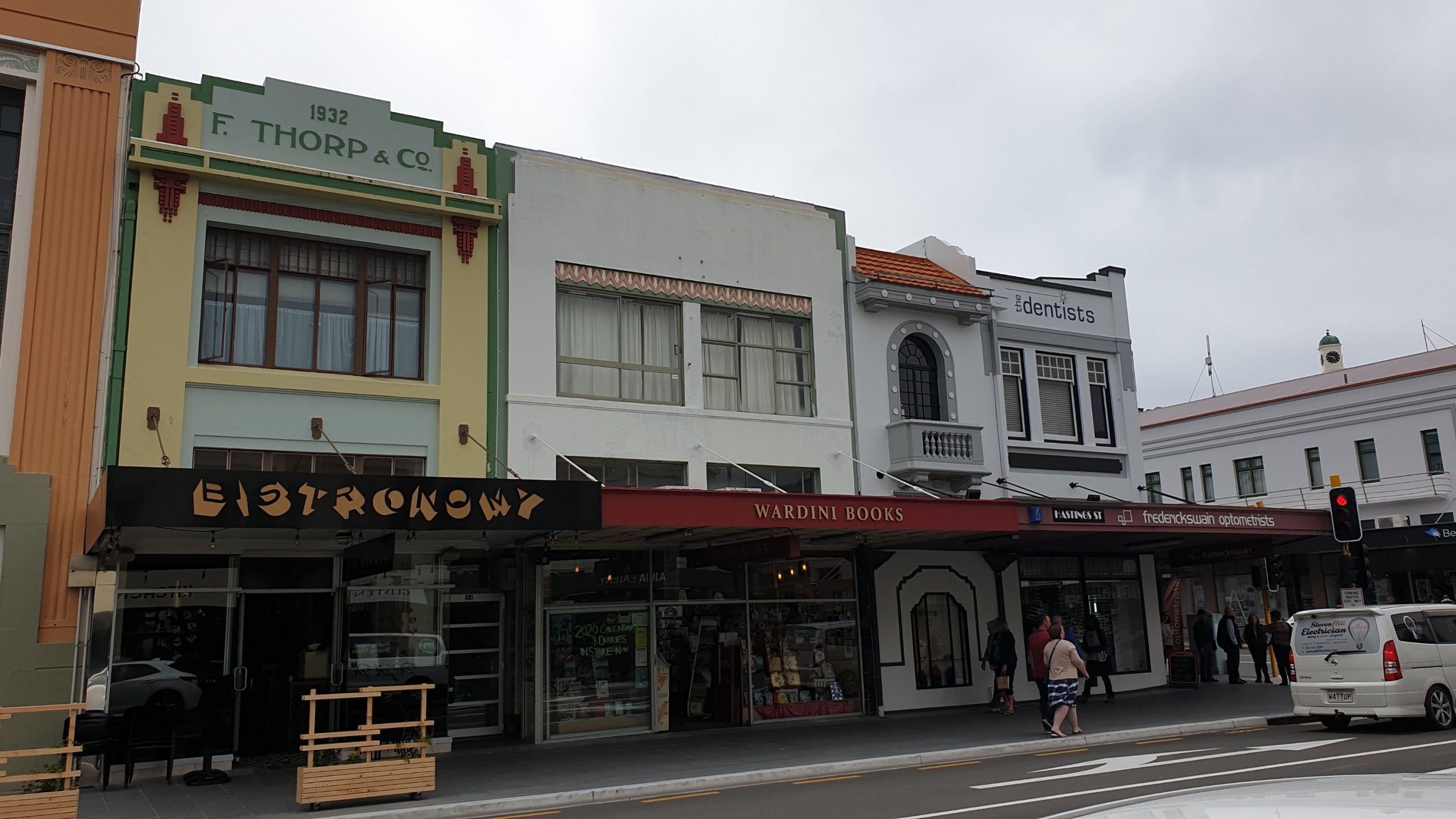
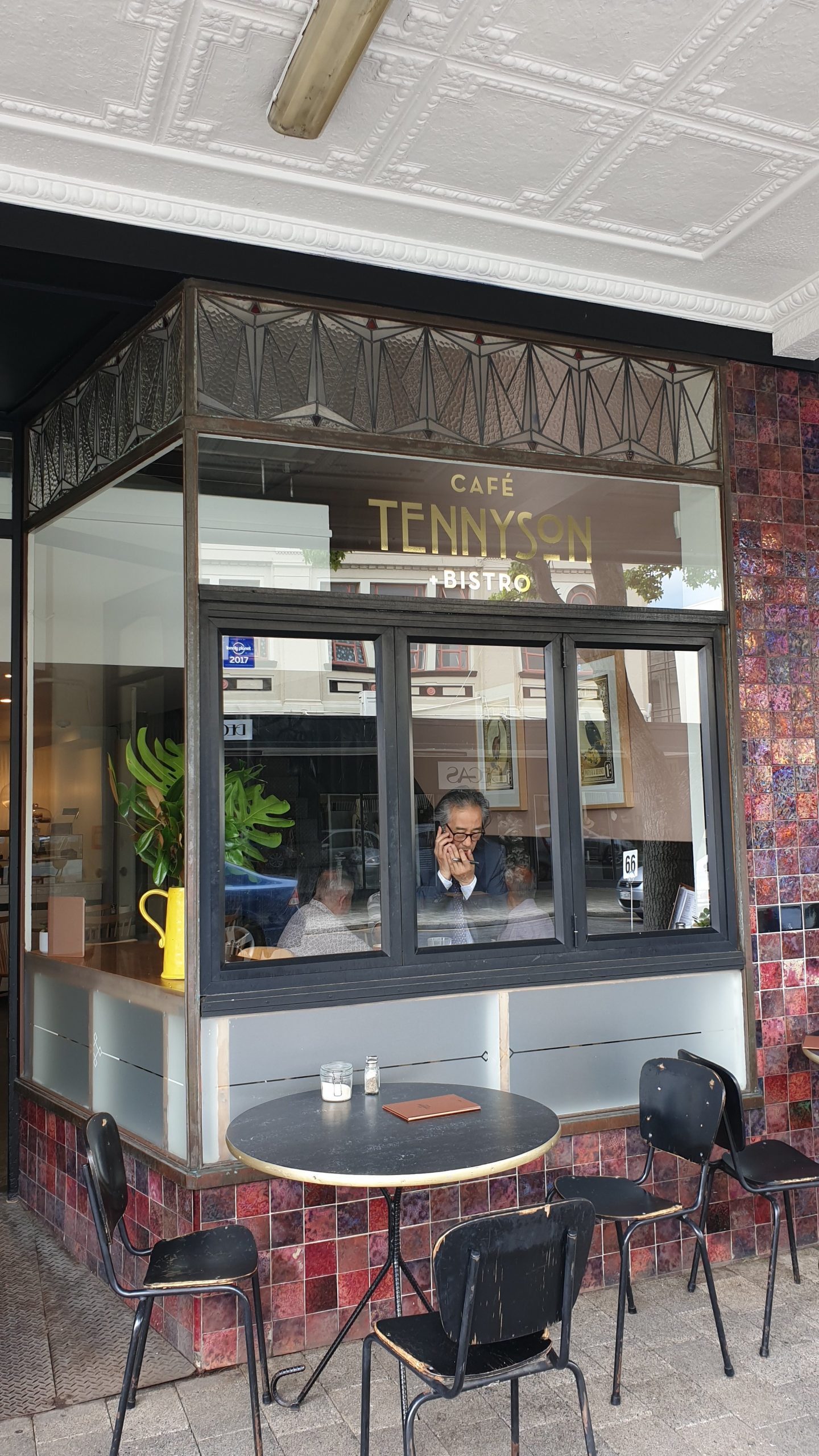

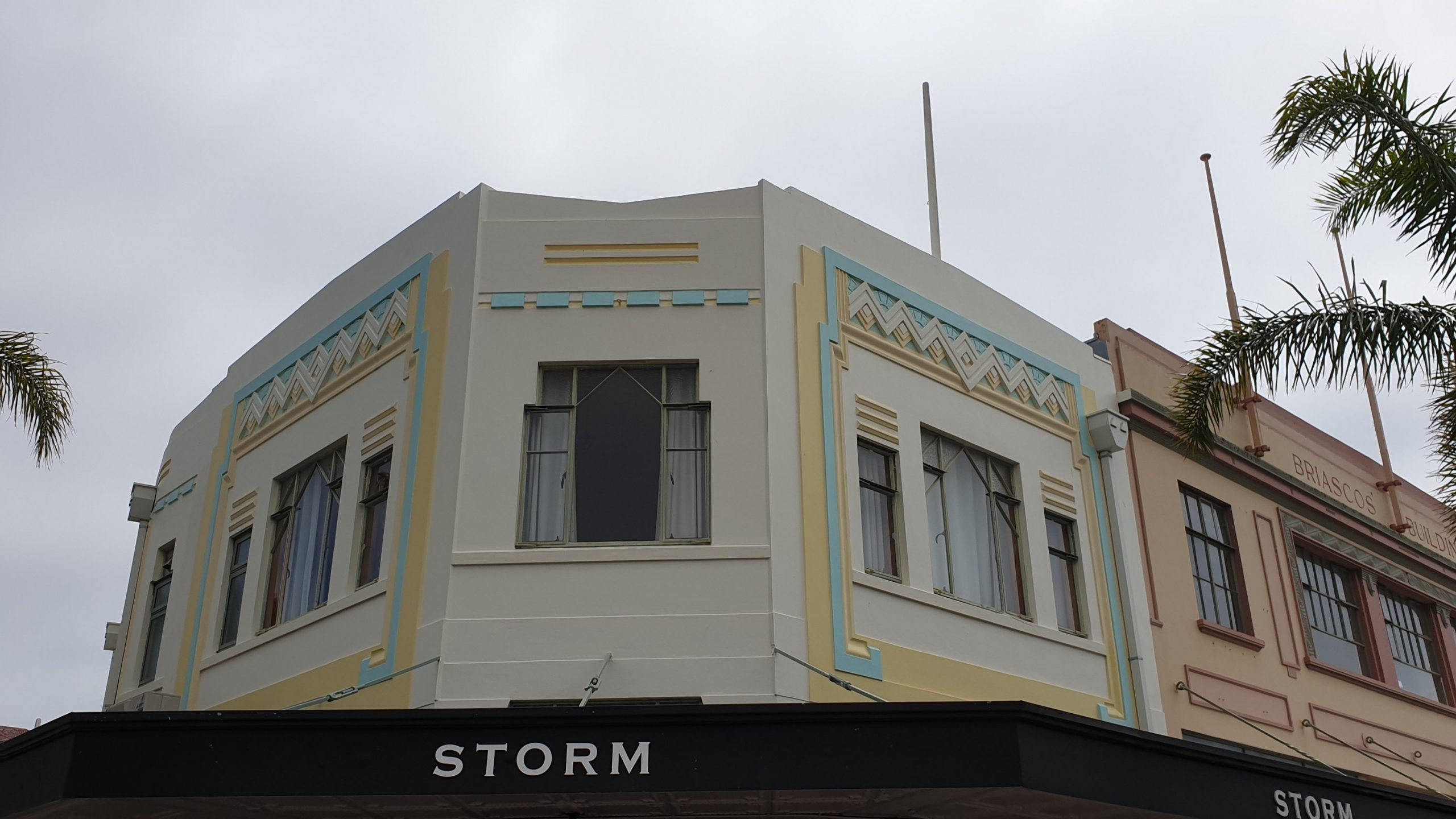
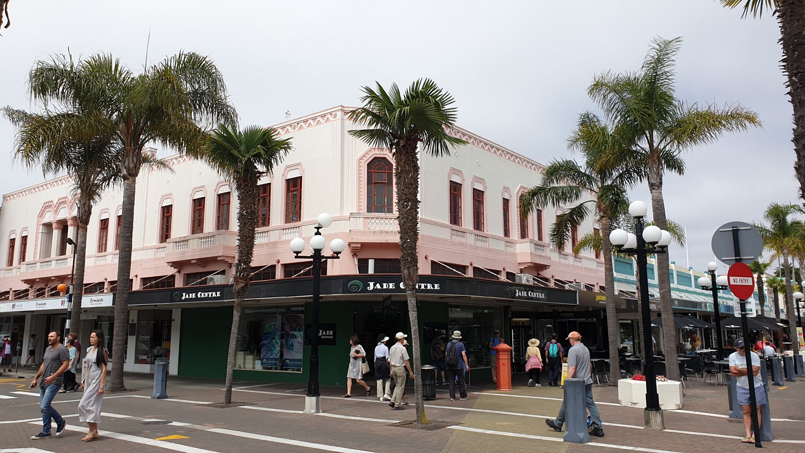
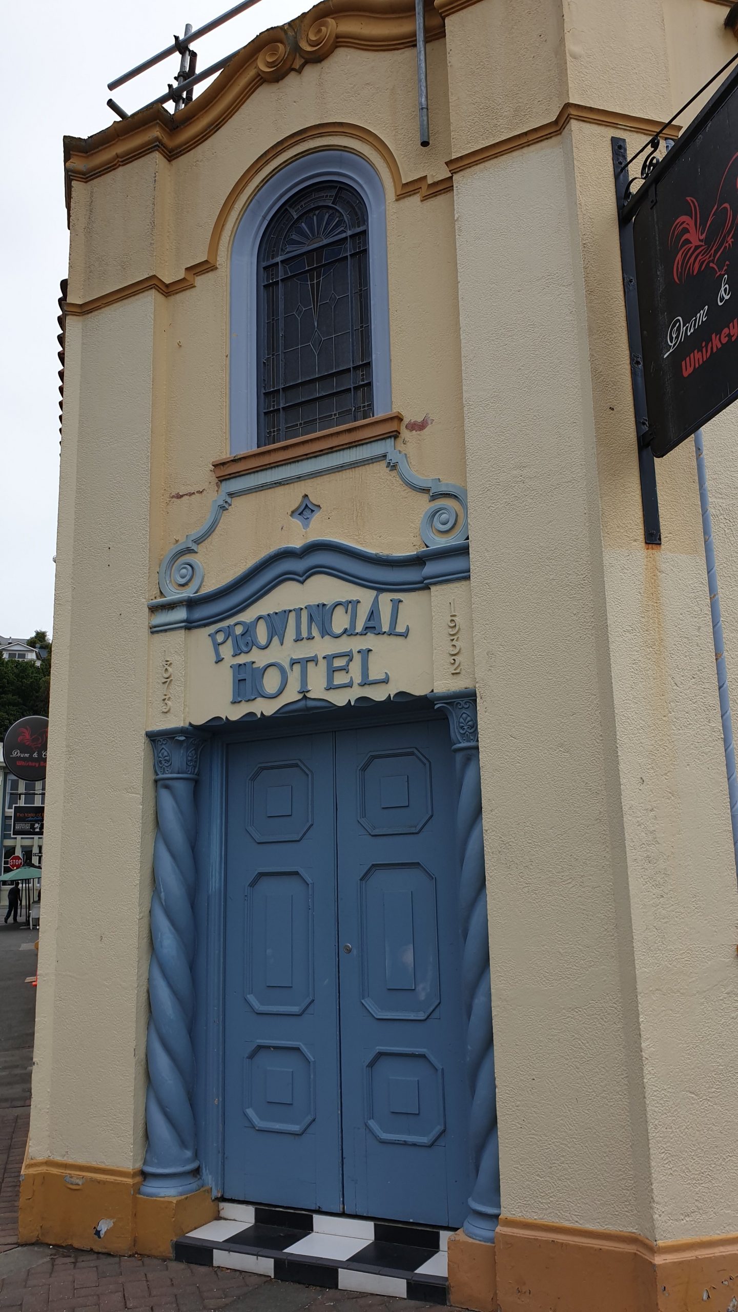
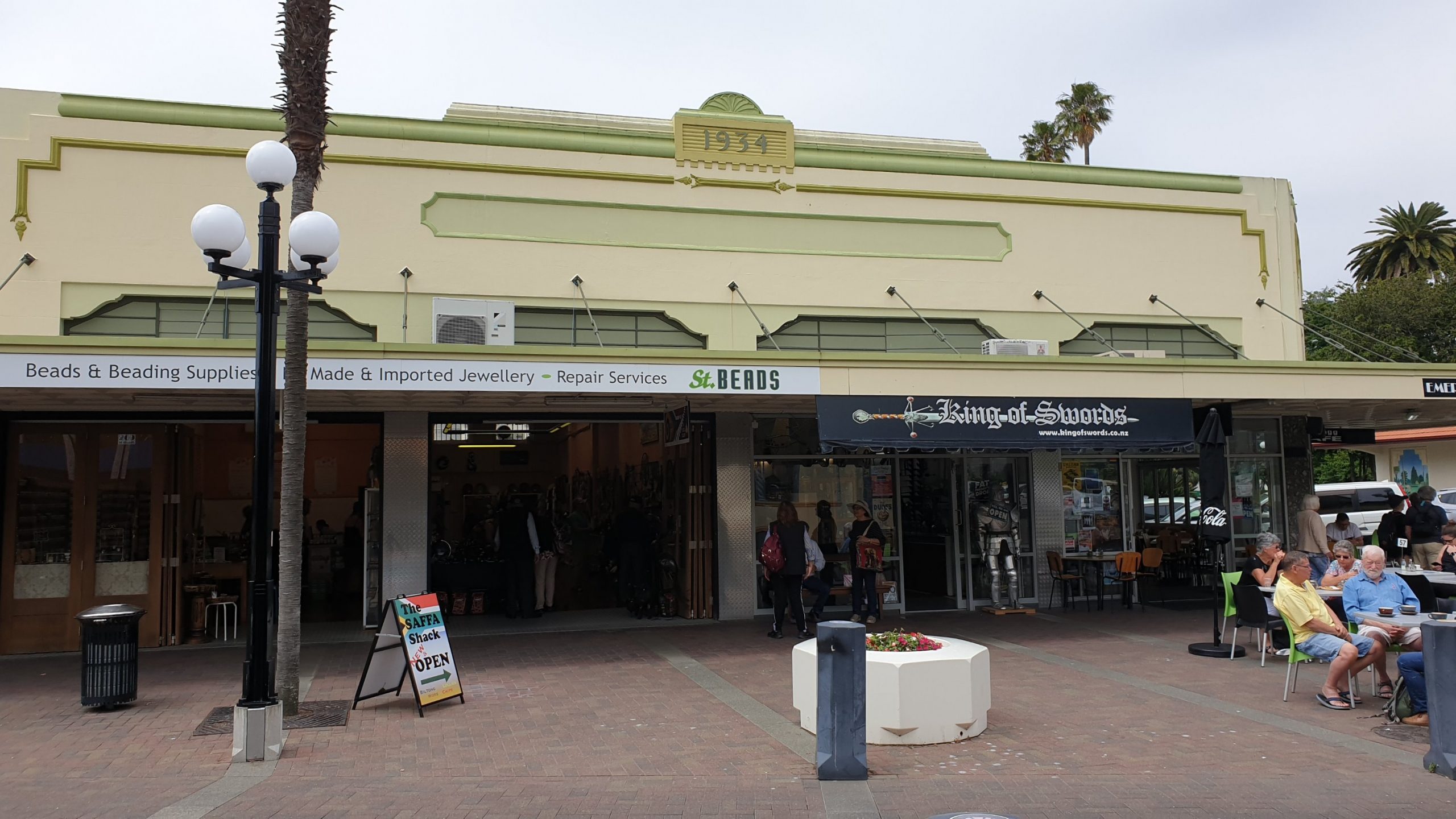
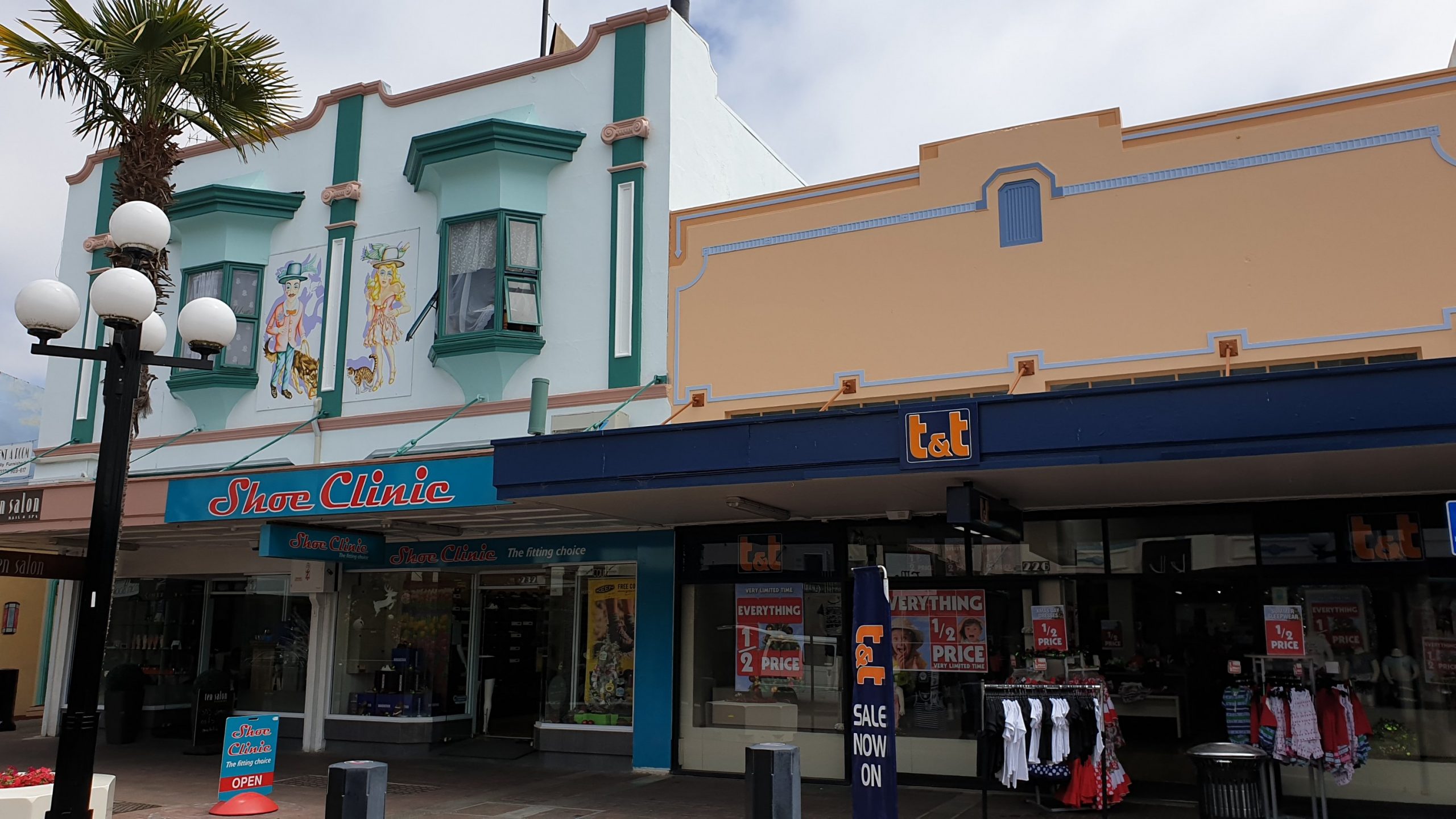
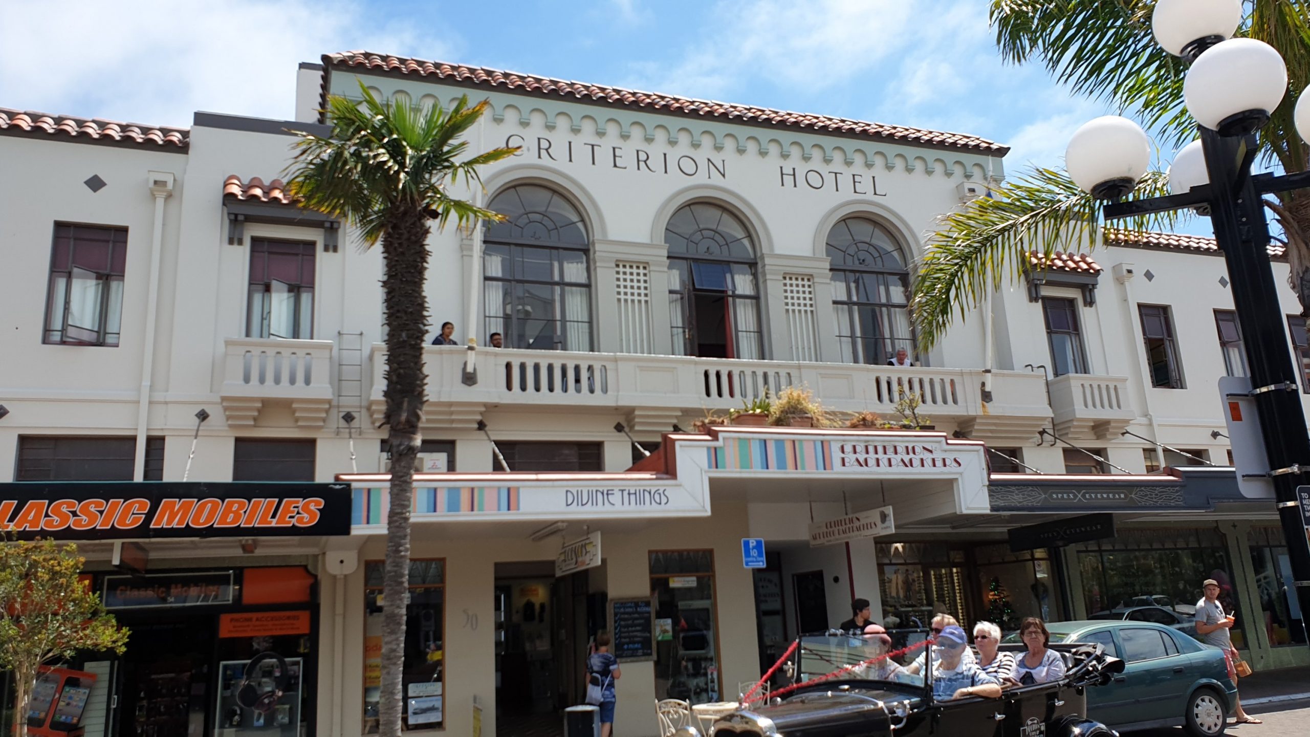
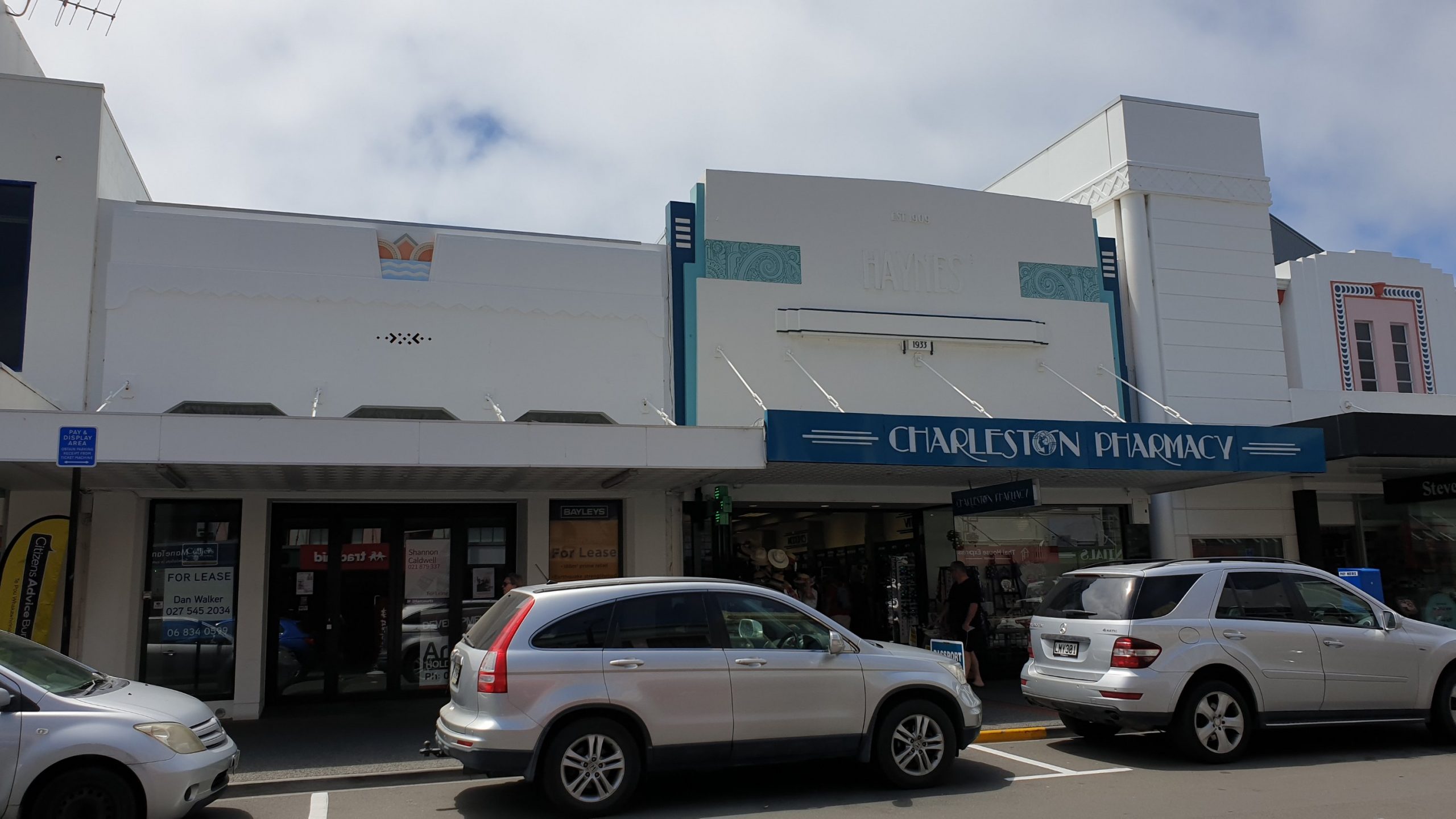
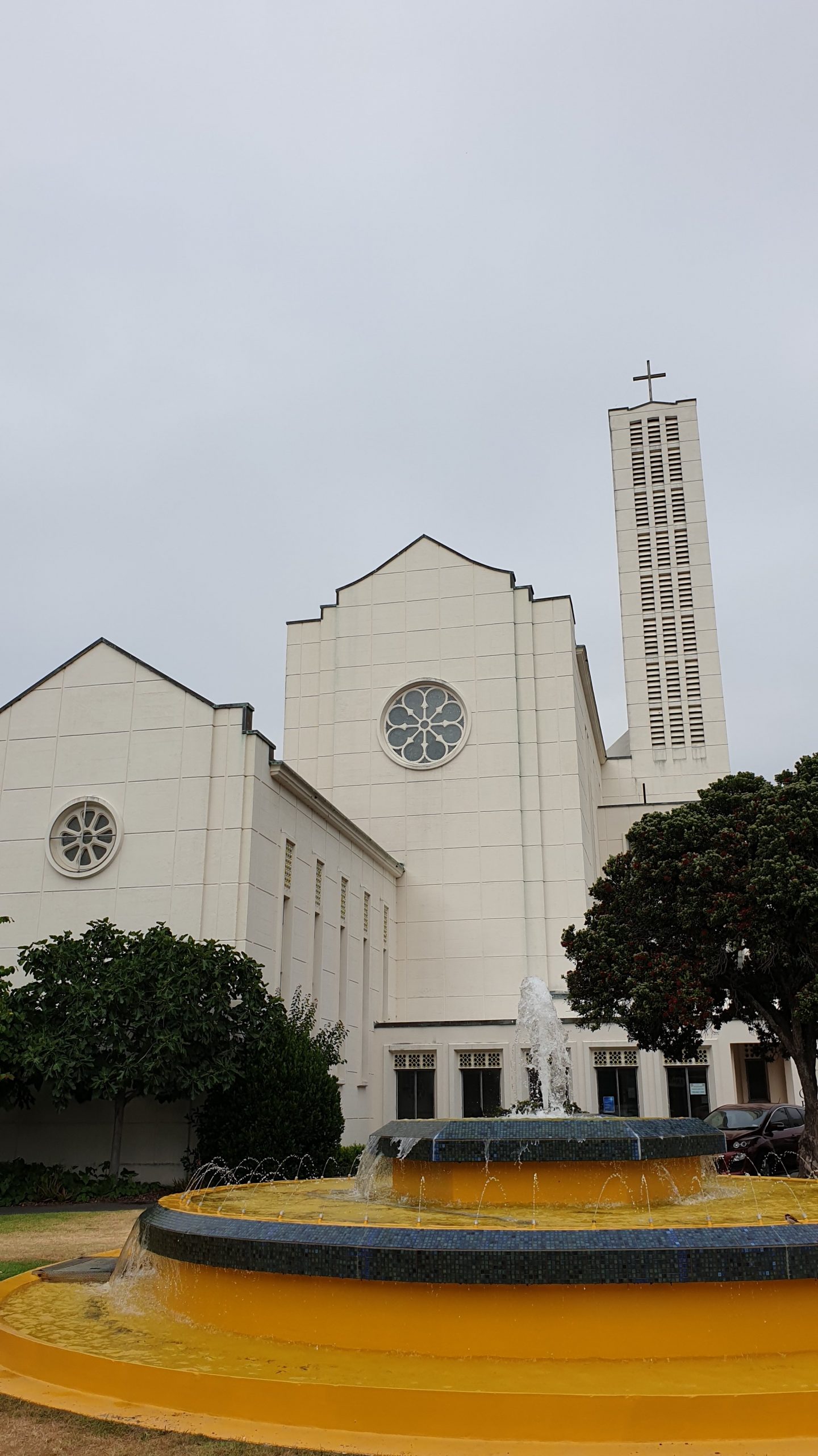
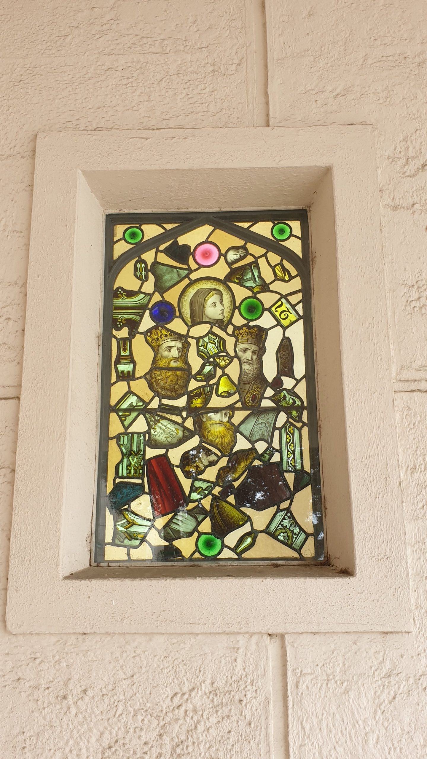
The Cathedral, which had a mass being said inside during the time of the quake, was flattened and rebuilt. It is now a modern, nearly industrial looking church with modern stain glass windows and very intricate and interesting Maori altar and weaving on the back walls. I have not seen this before. It is beautifully crafted!
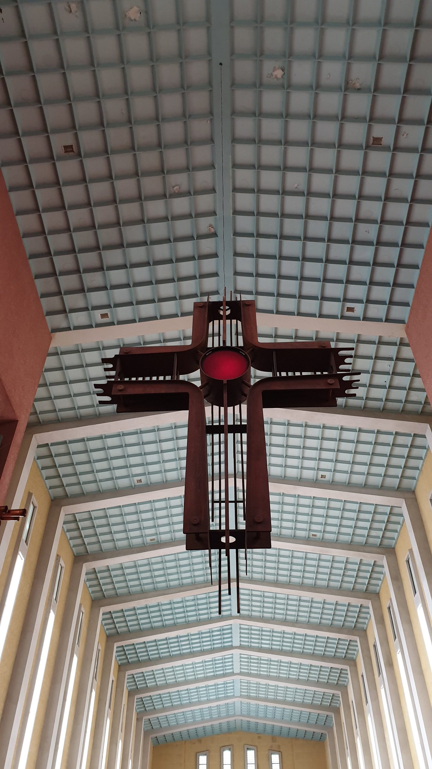

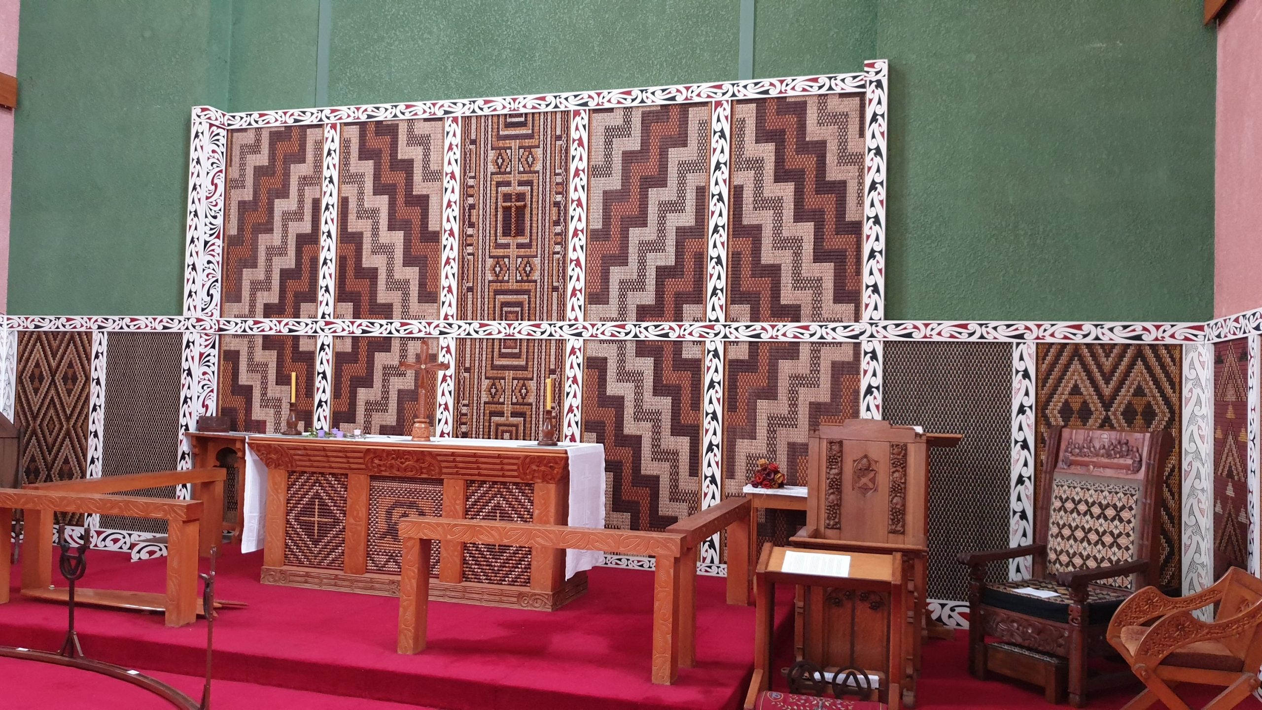
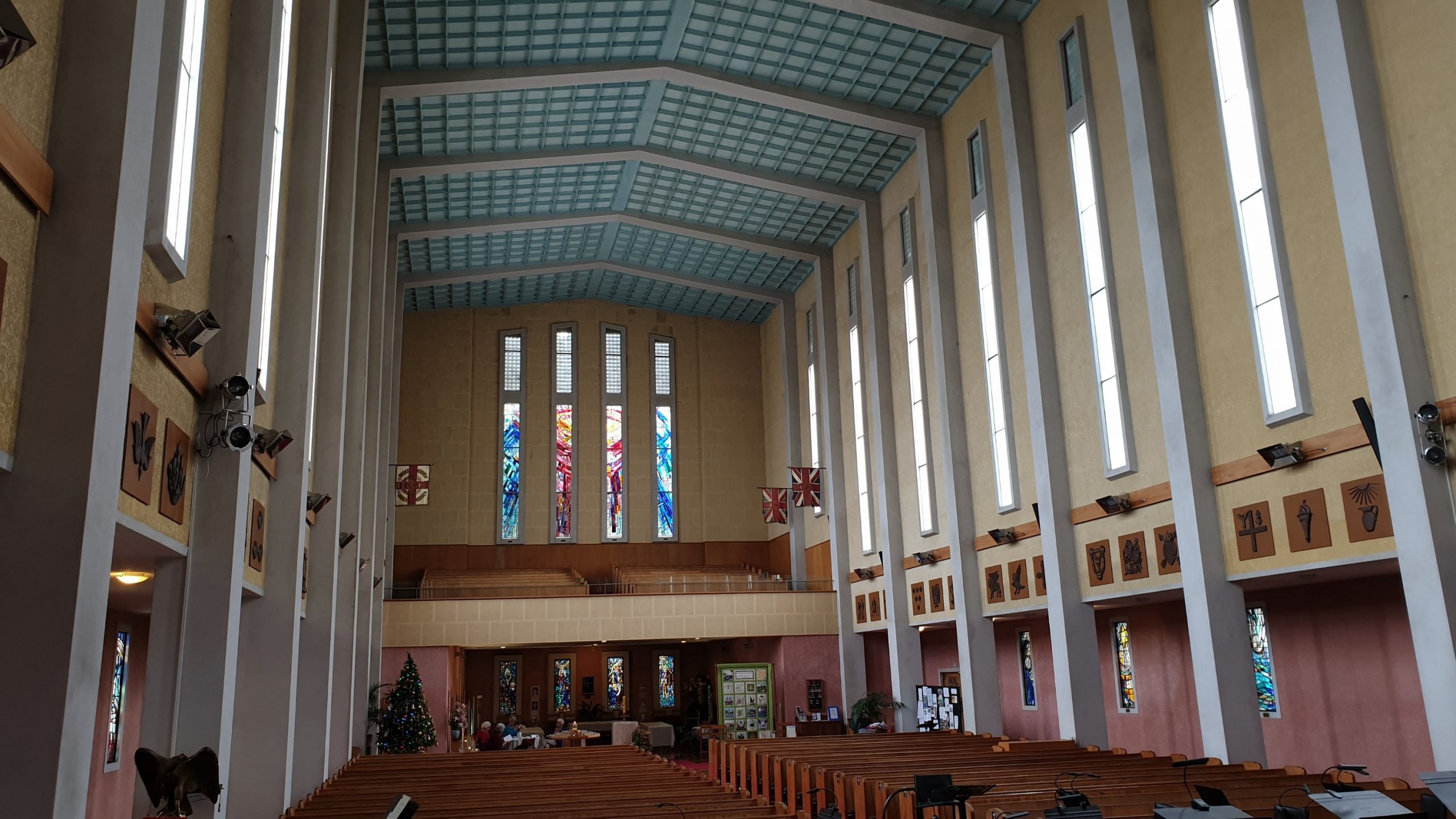
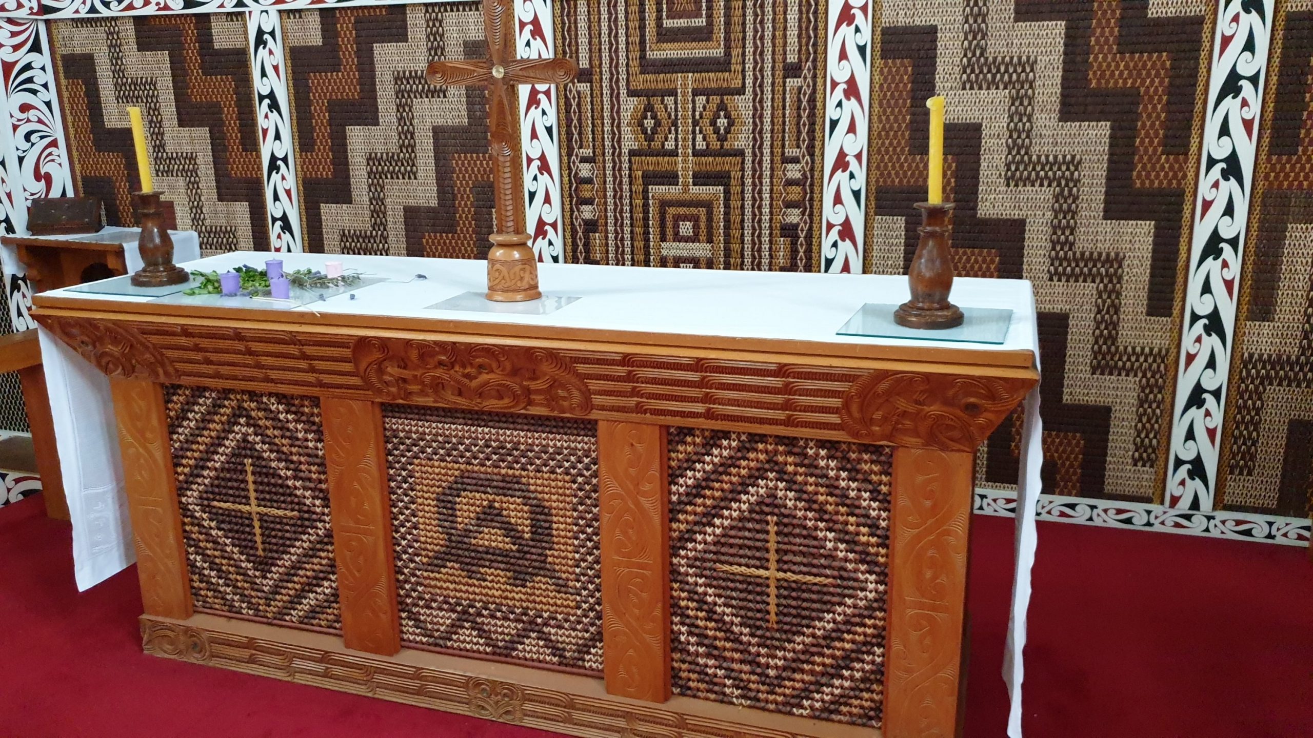
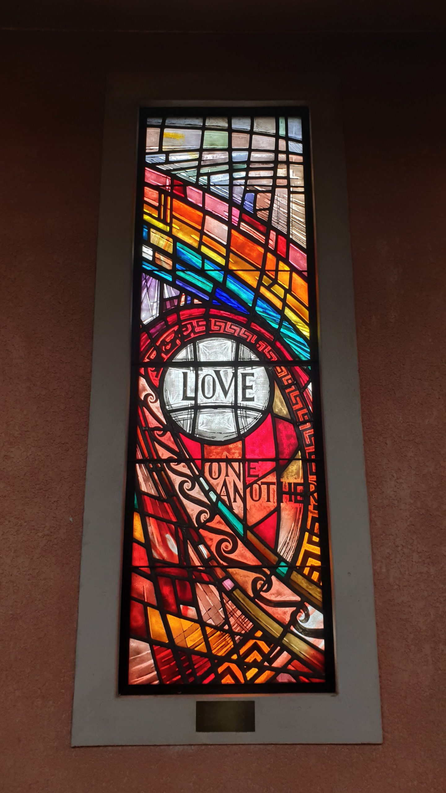
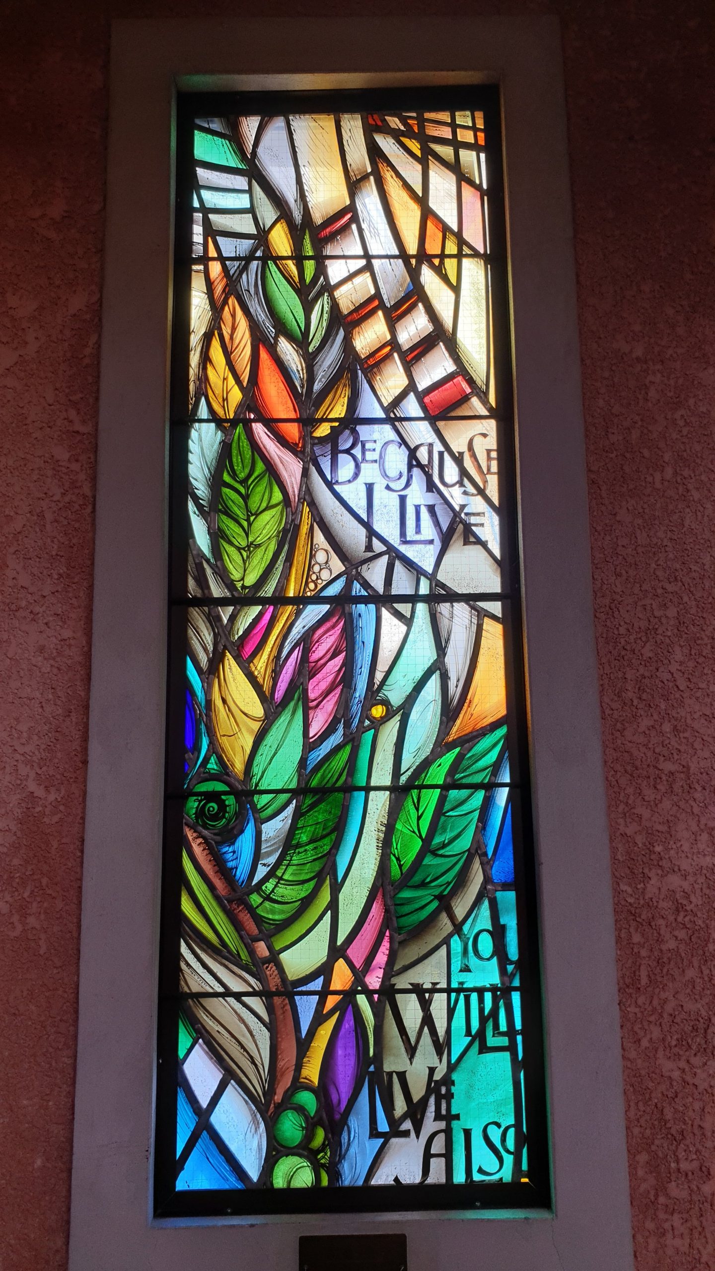
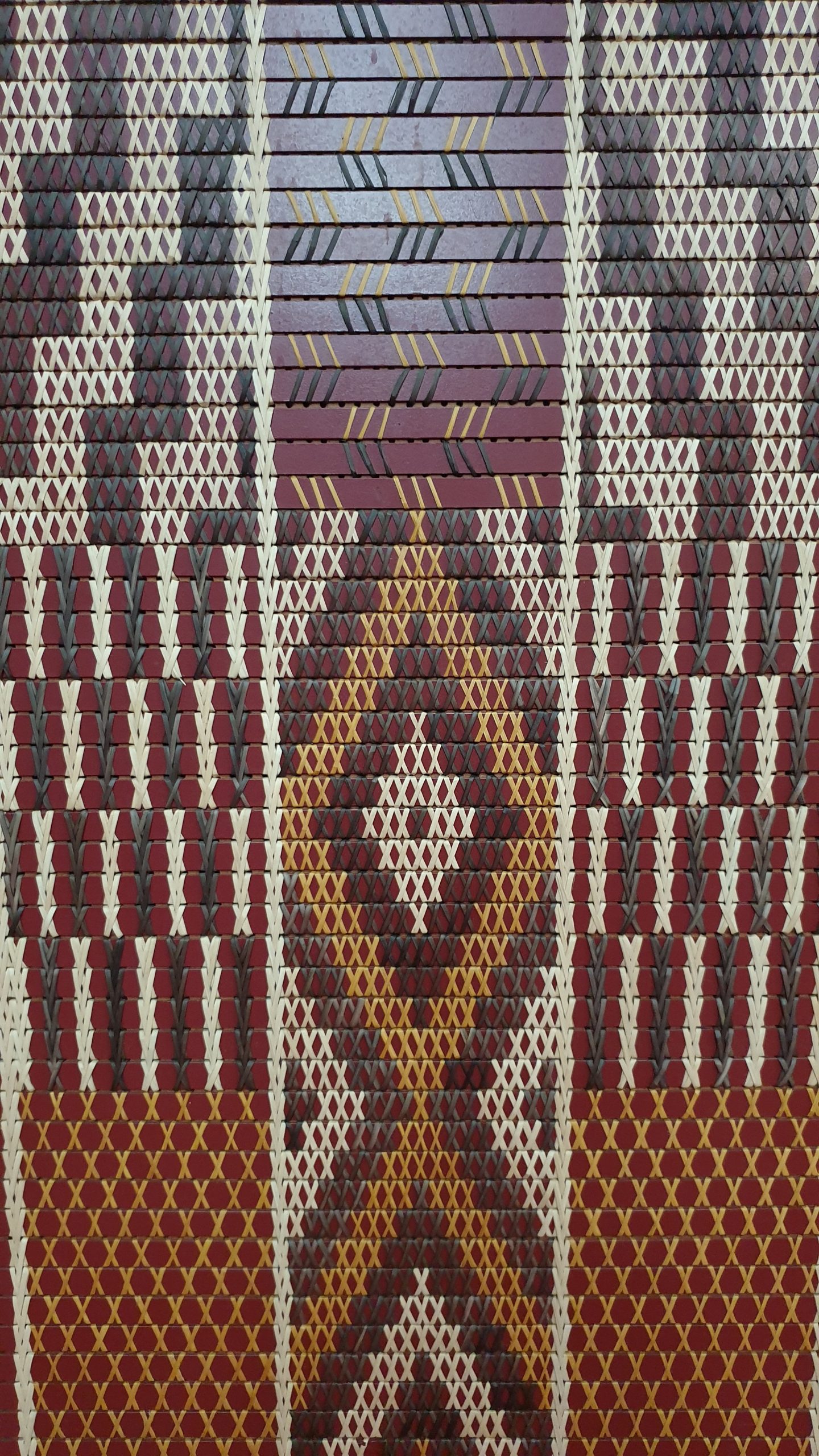
After meandering around the city we took a drive and walk to Bluff Lookout which overlooks the port , Bays and has grand old homes around. We also passed the Girls school for a lookout over the Bay and city centre . The turquoise waters stretched all the way to Cape Kidnappers .
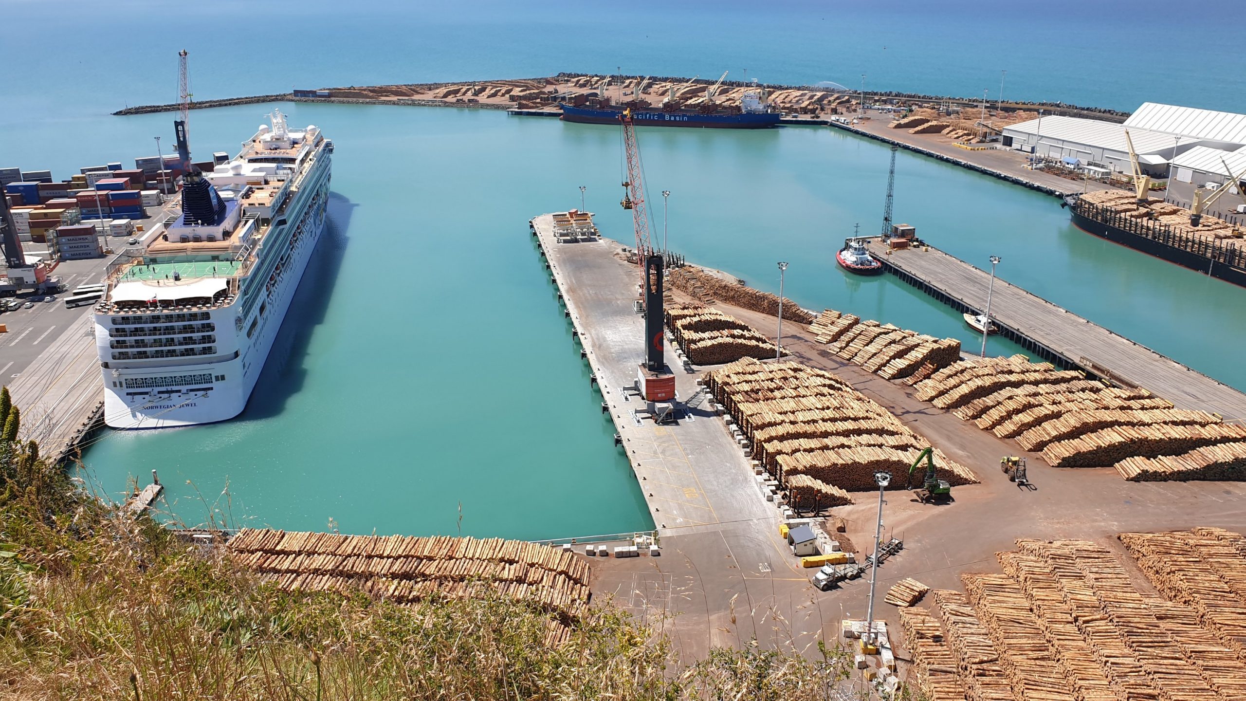
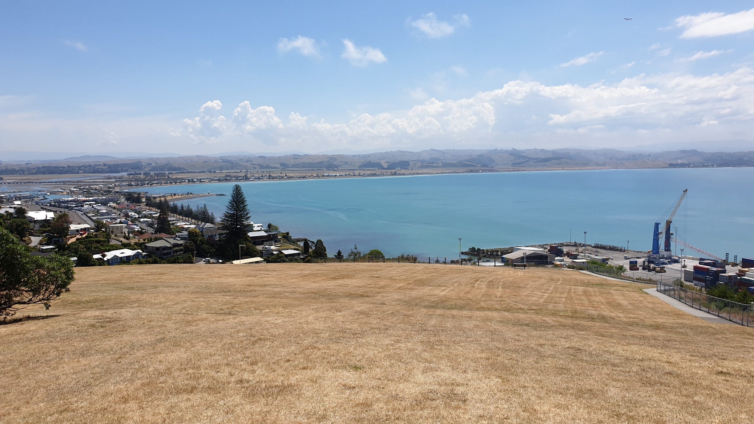
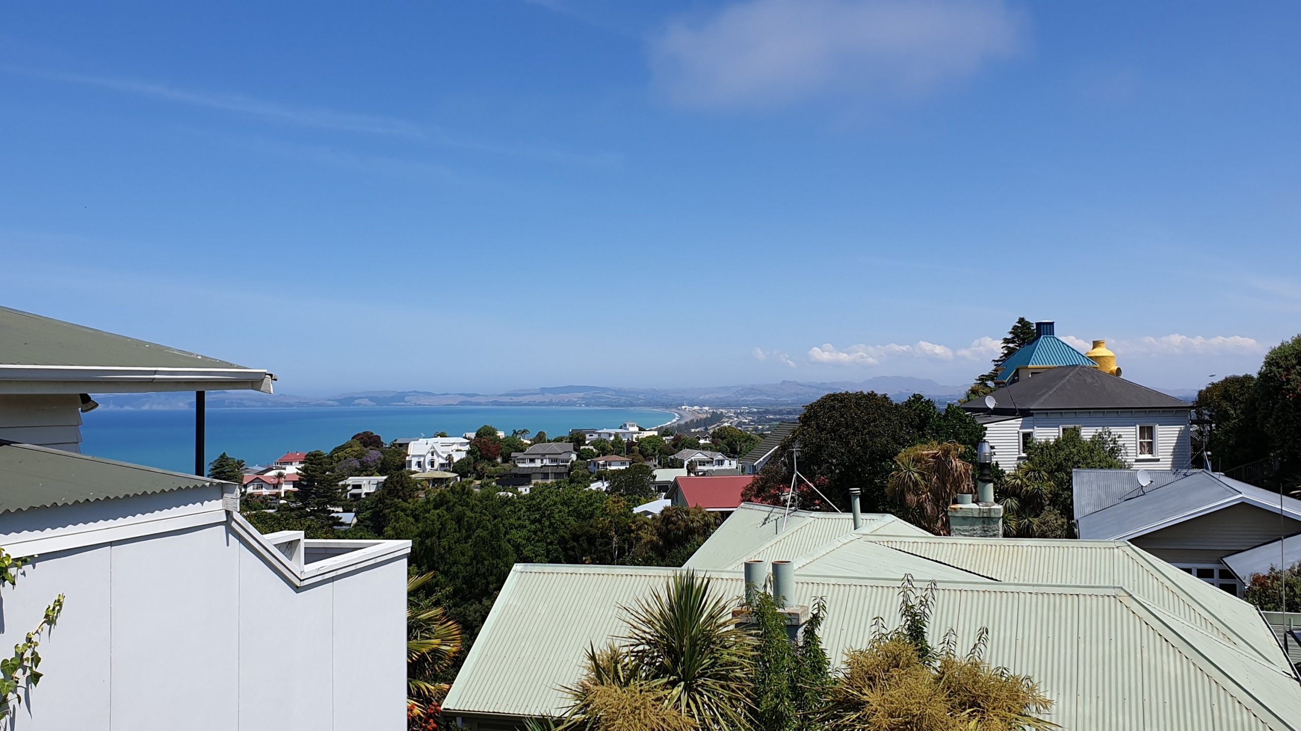
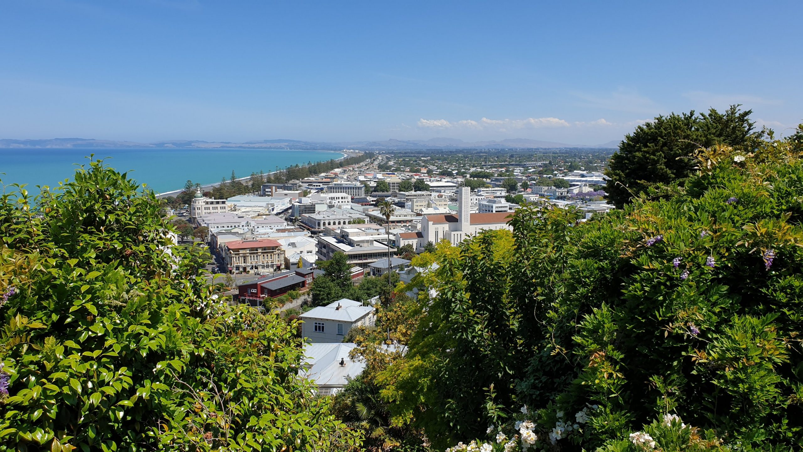
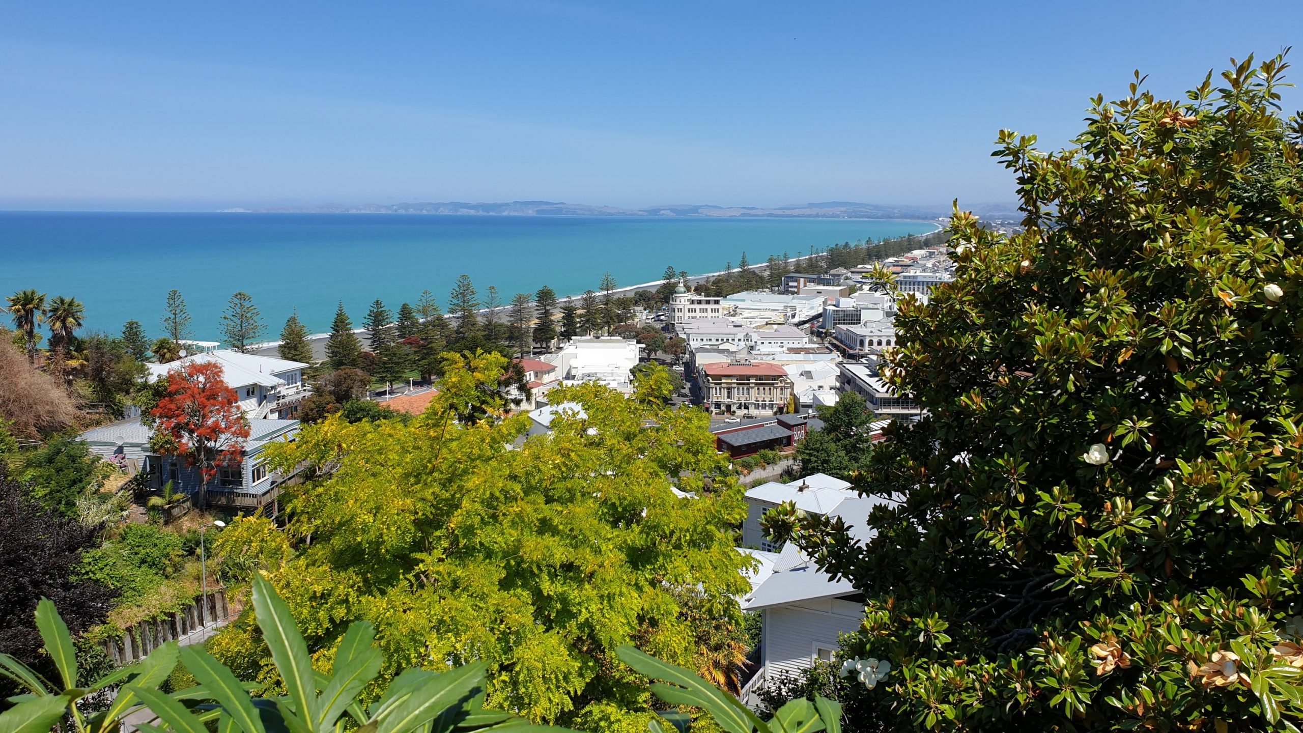
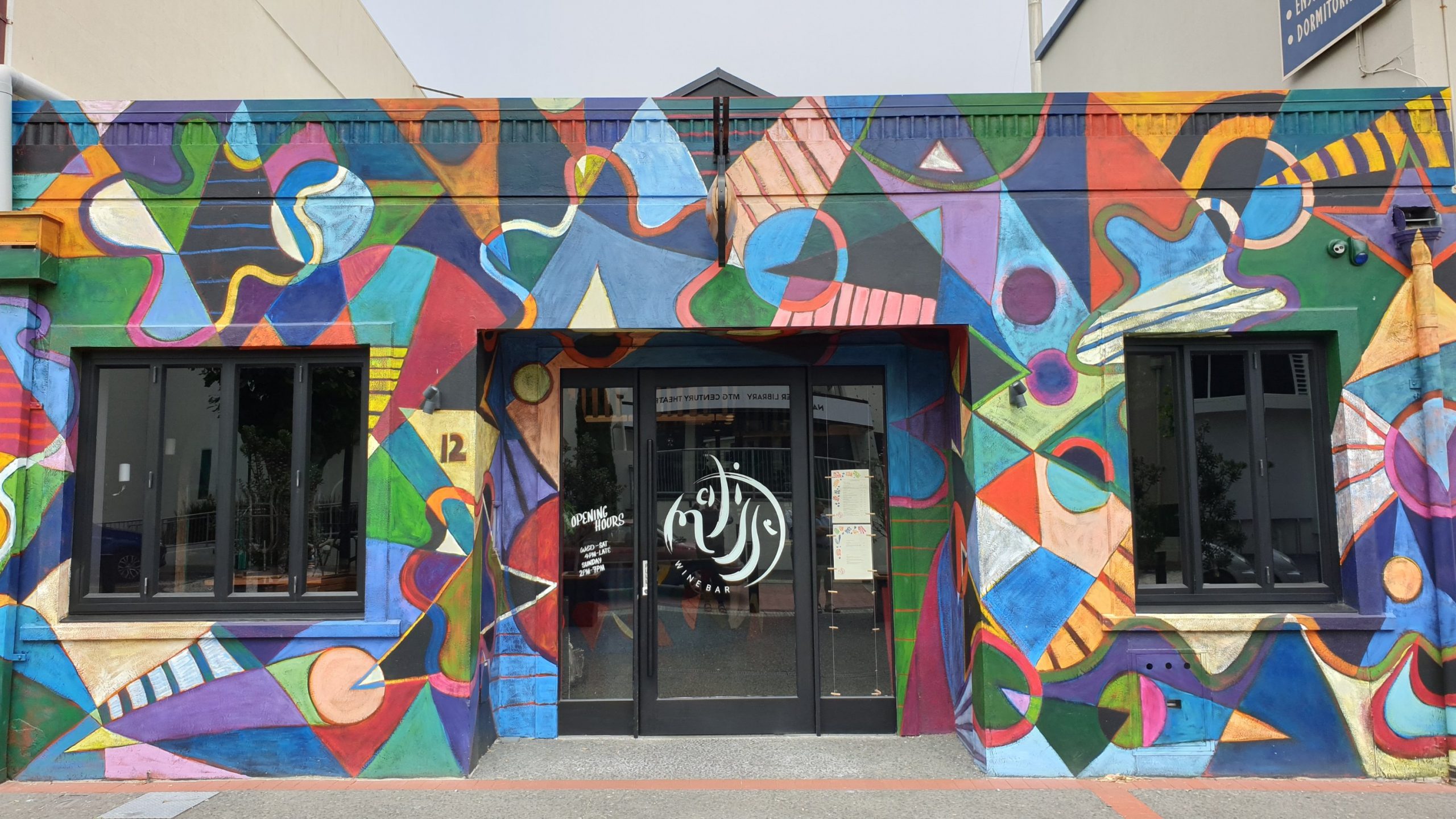
It was a fabulous day, to what is now one of my favourite New Zealand cities! Not only is the art deco cool here but I also found some great street art!
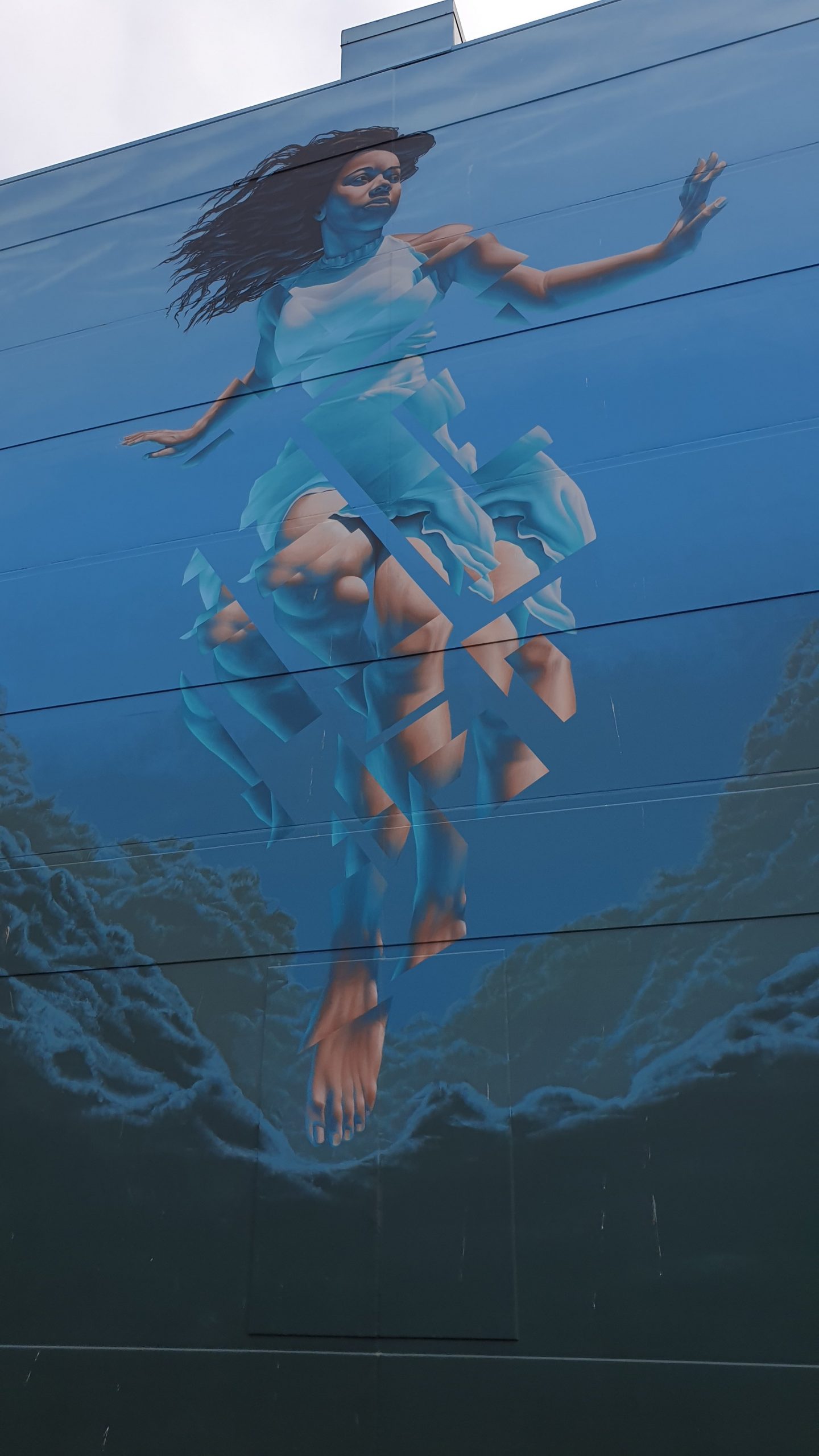
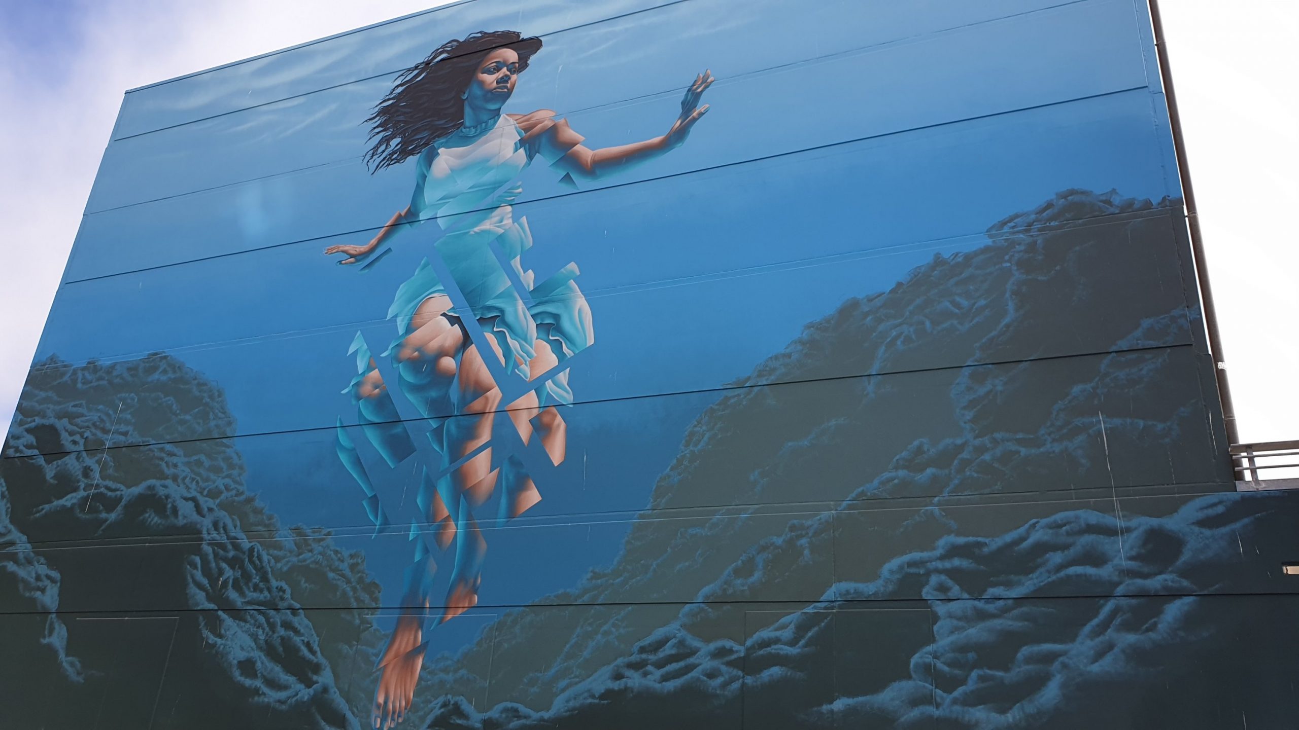
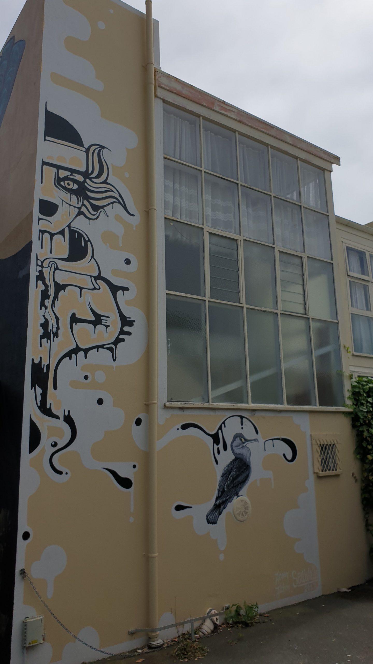
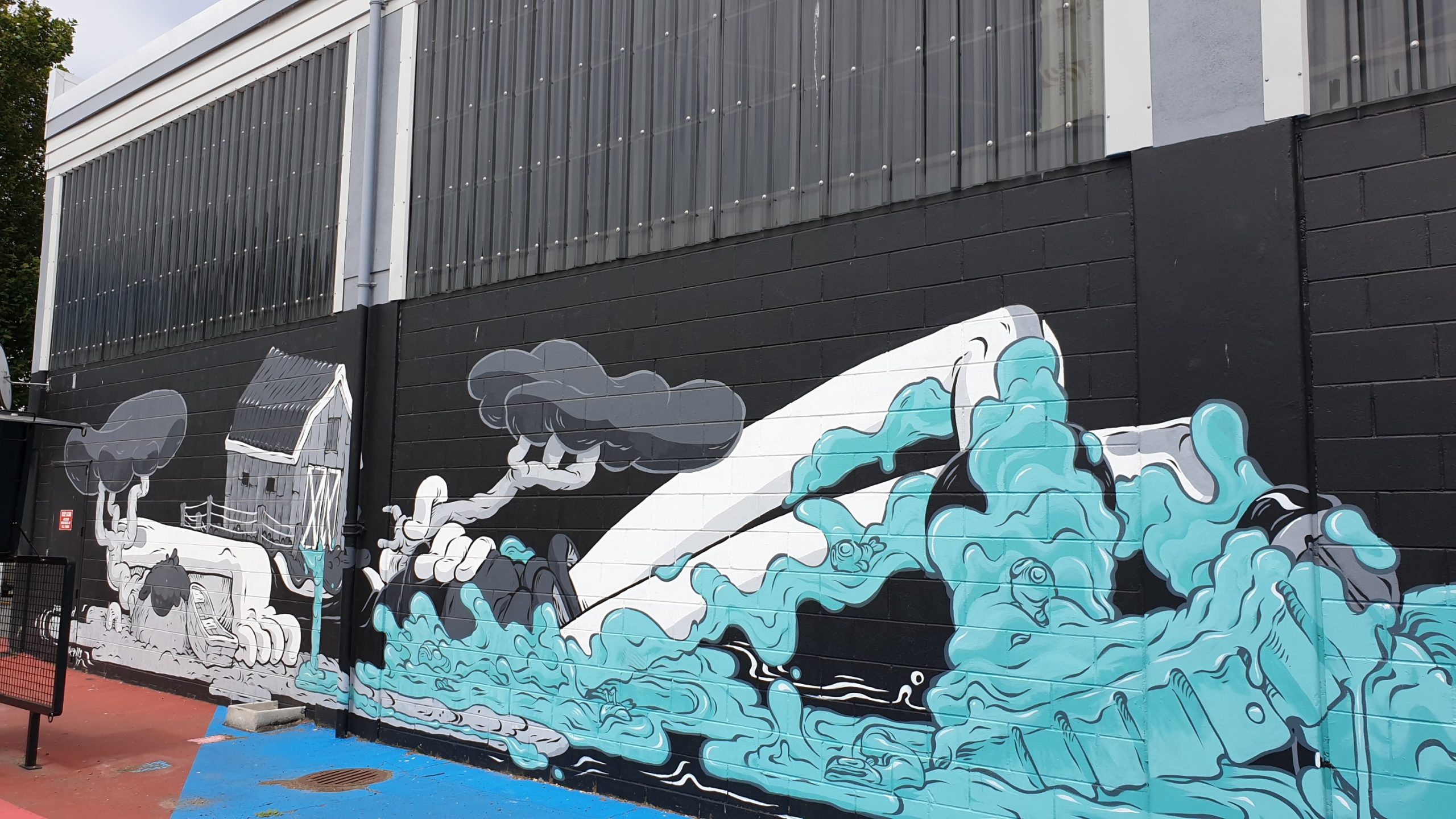
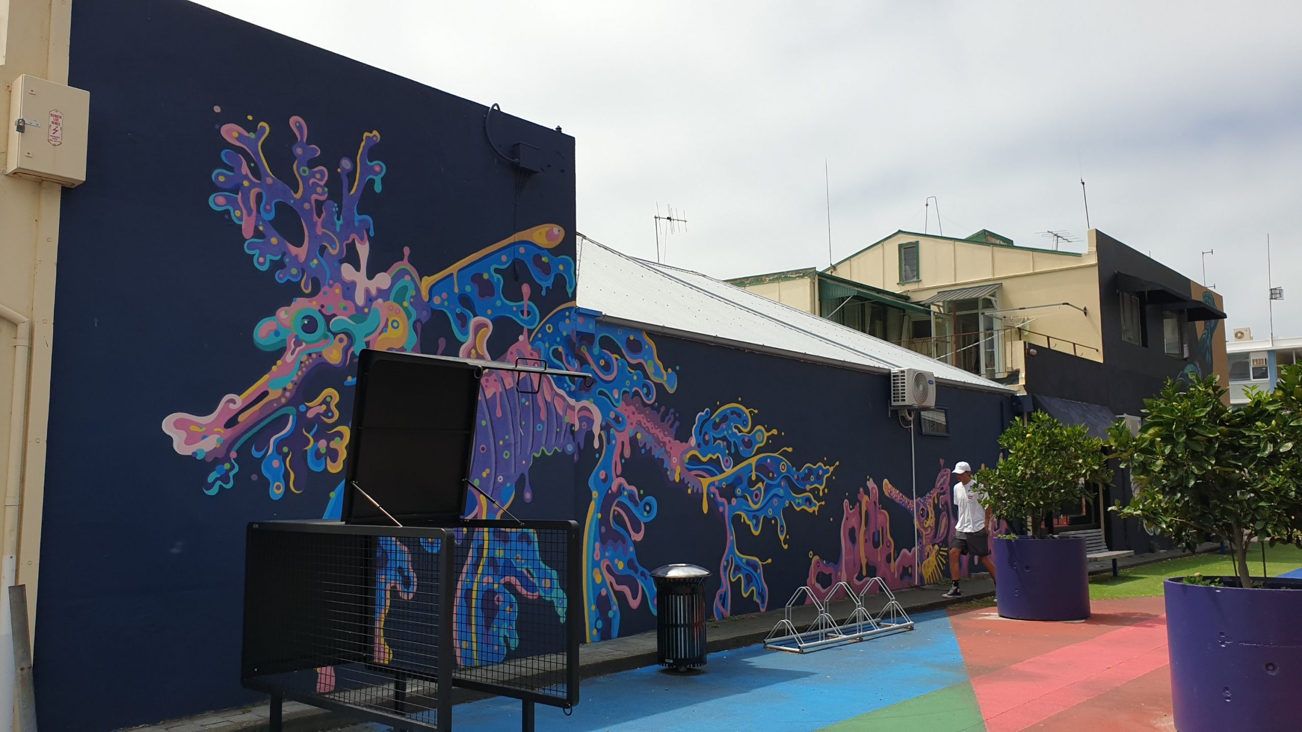
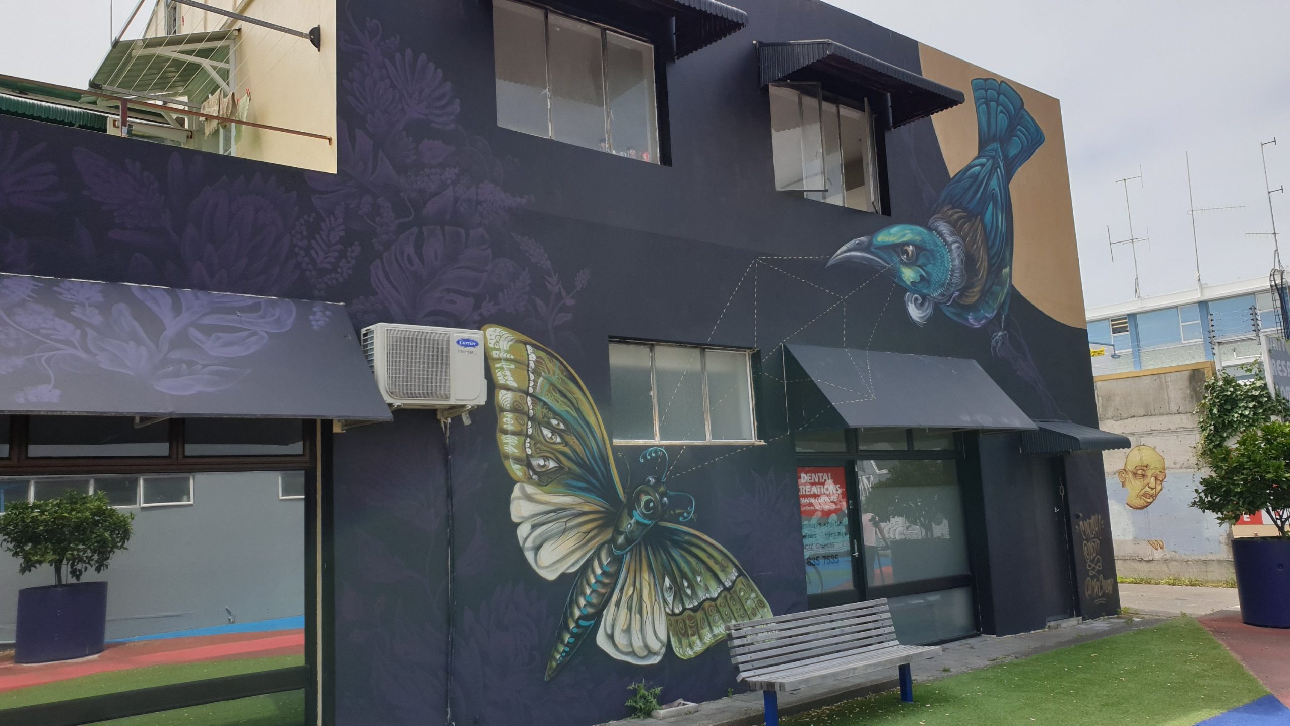

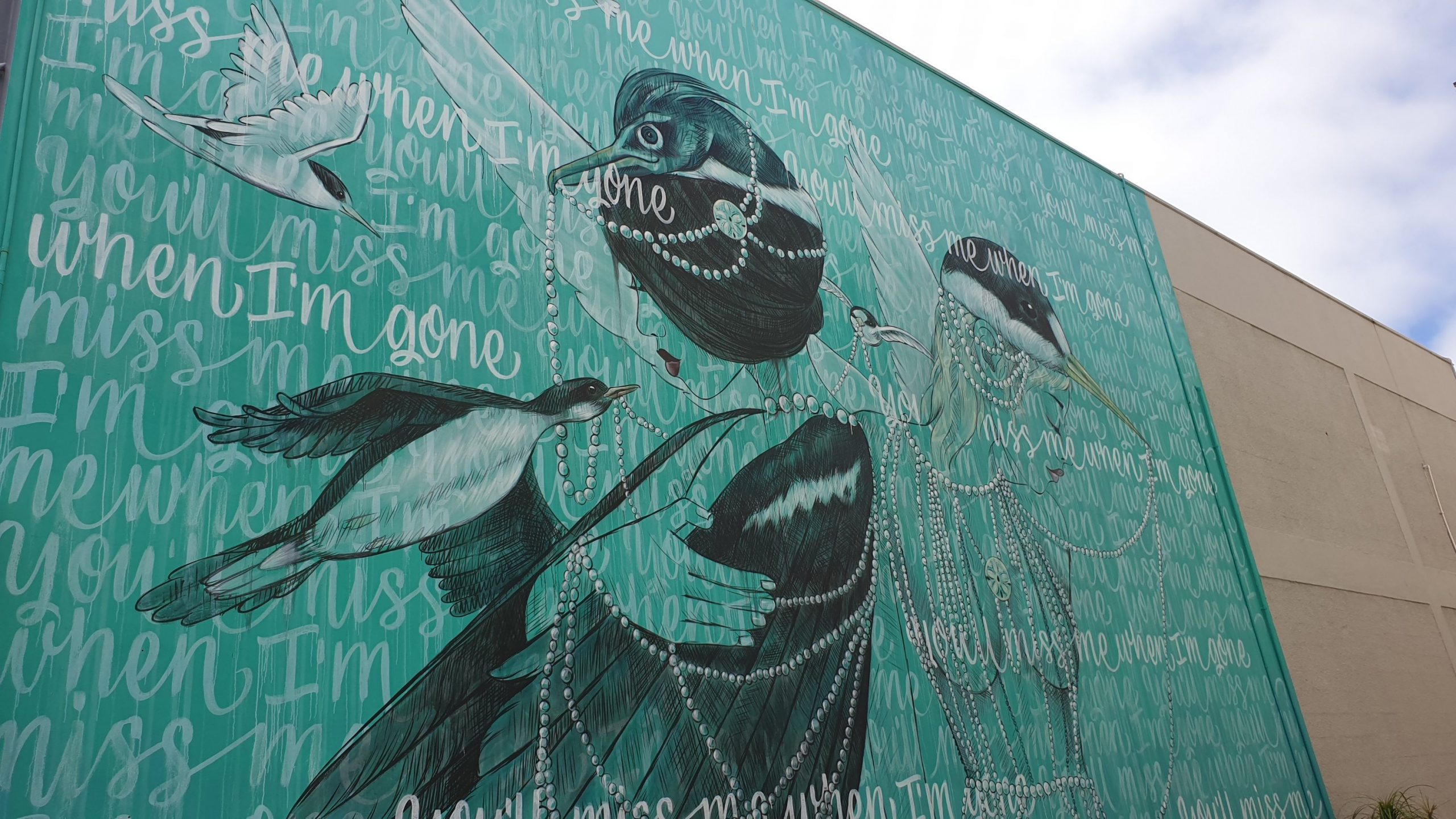

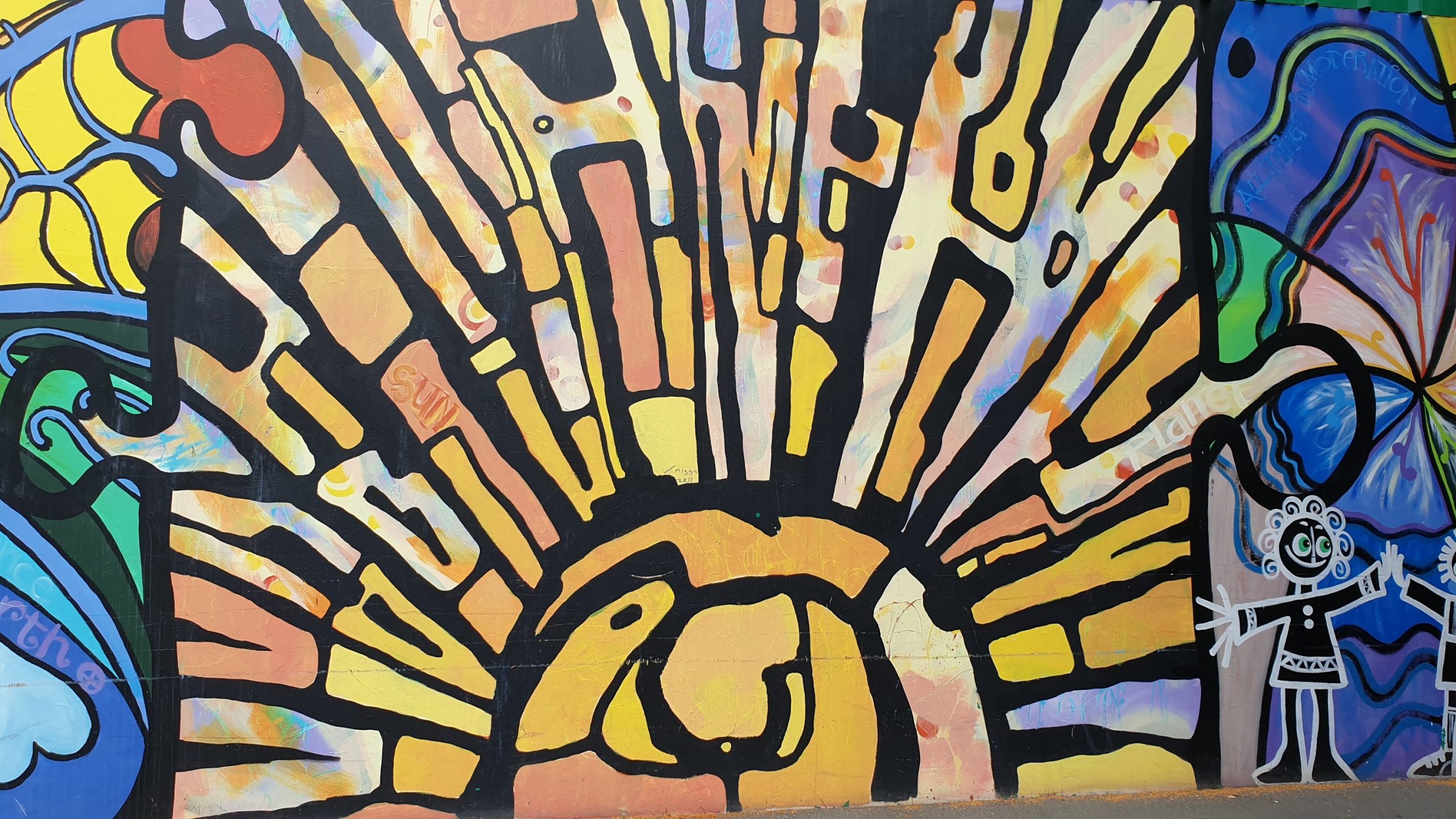
Once we were finished in Napier we took the drive to Te Mata Peak, where there are brilliant views of the hills, river and wineries.
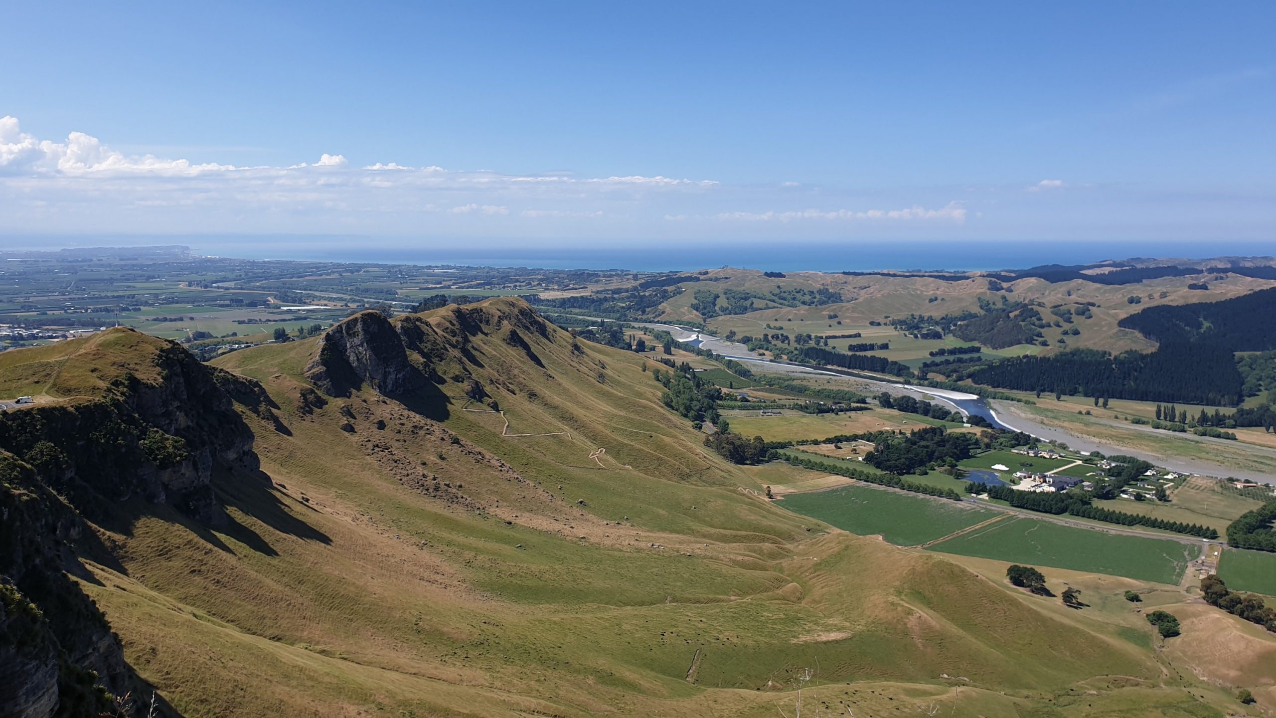
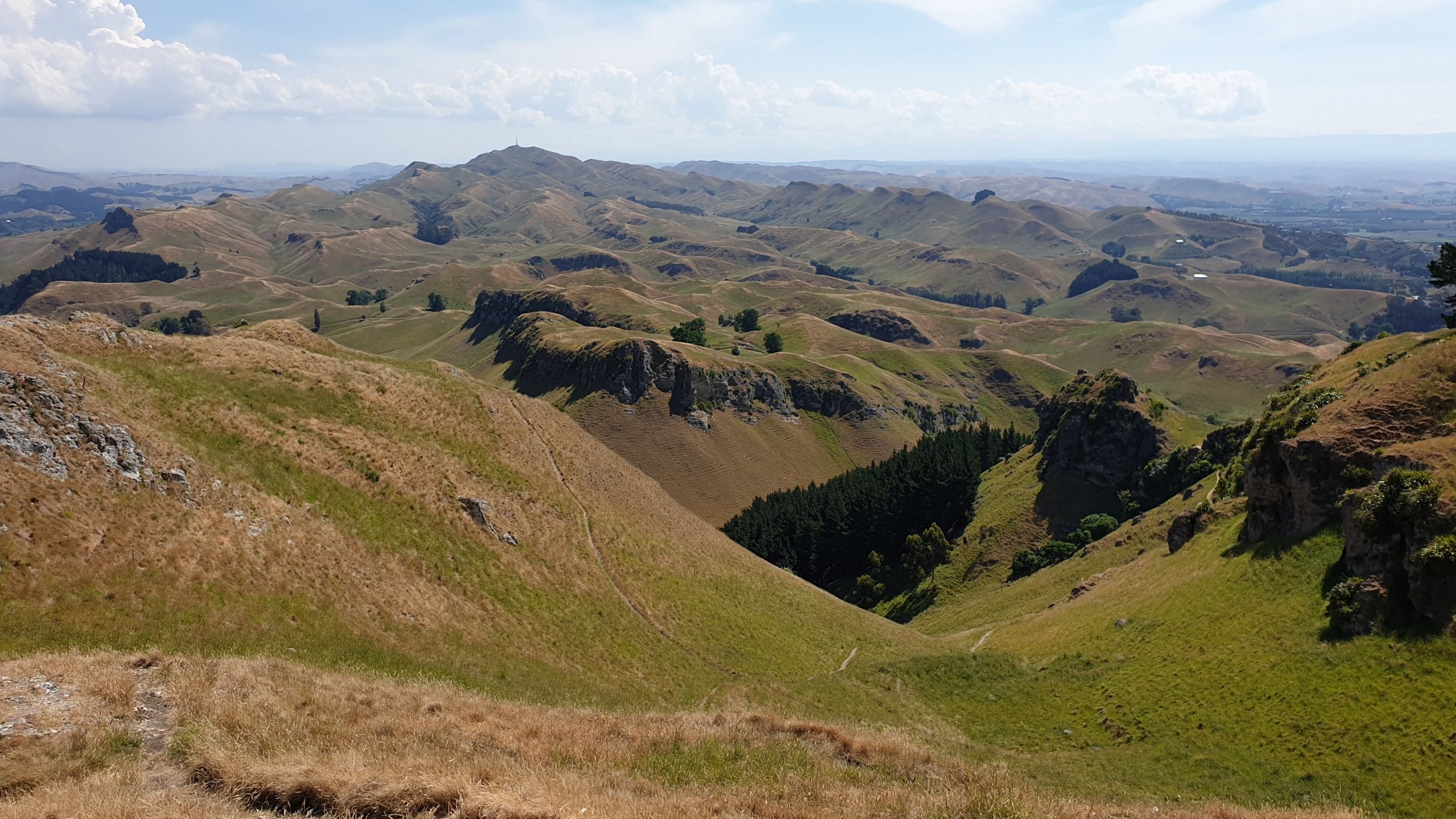
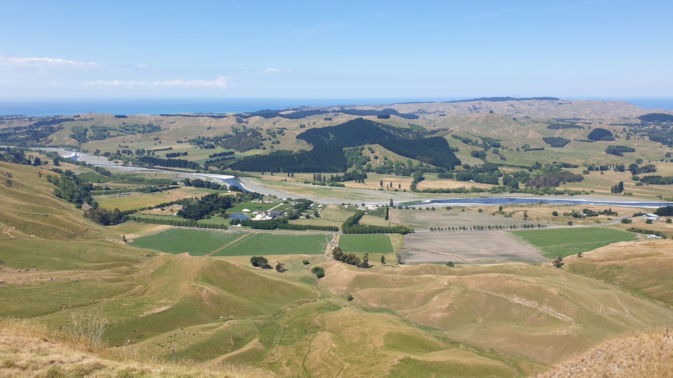
Day 56
Km 0
Cumulative Km 694
Today we drove to Te Awanga to take a 4WD bus tour to the Gannett colonies of Kidnappers Cape. The colonies are on private farmland and only one company goes there.
***On a side note there is a 5+ star lodge on this property that costs 1,700 NZD per night to stay in and a round of golf on the exclusive golf course is 400 NZD!
We travel for a while before hitting our first lookout- over the cliffs of the cape- and where a large slip closed off beach access to the colonies. Amazingly the tractor tours that operated there were stopped just before the slip when it all came down and 2 people were caught in it but miraculously survived with broken bones!! This link contains a video https://www.rnz.co.nz/news/national/380750/walkers-swept-by-rockfall-into-sea-at-hawke-s-bay-beach
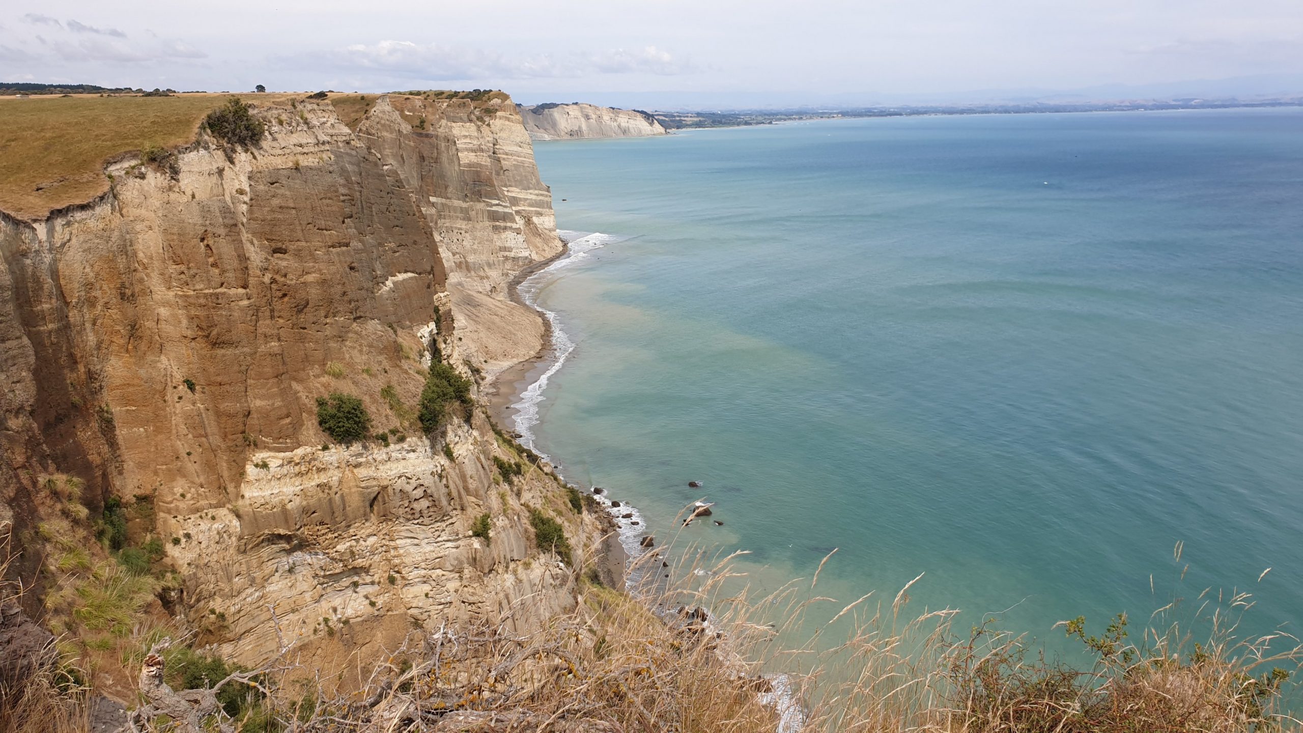
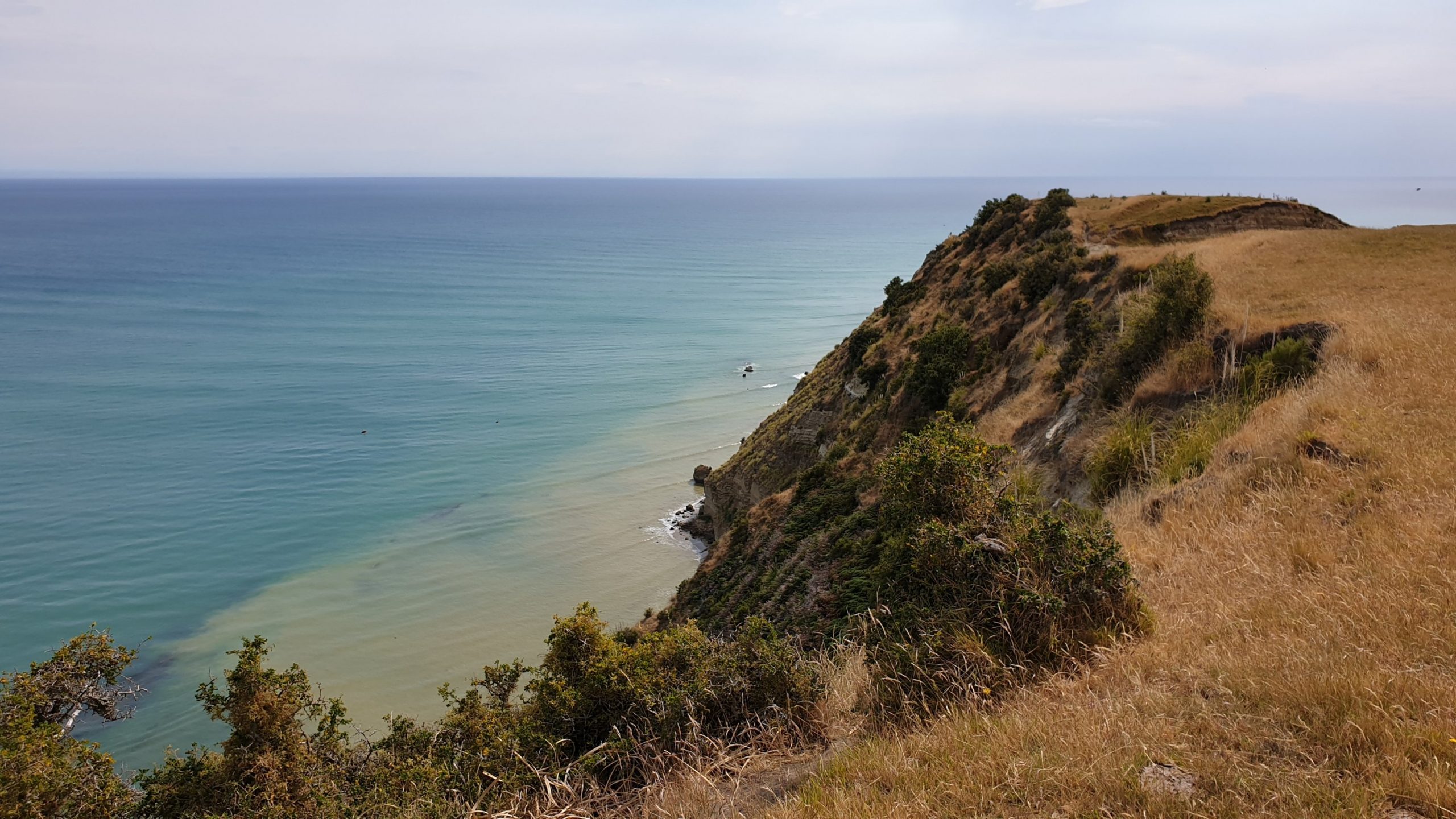
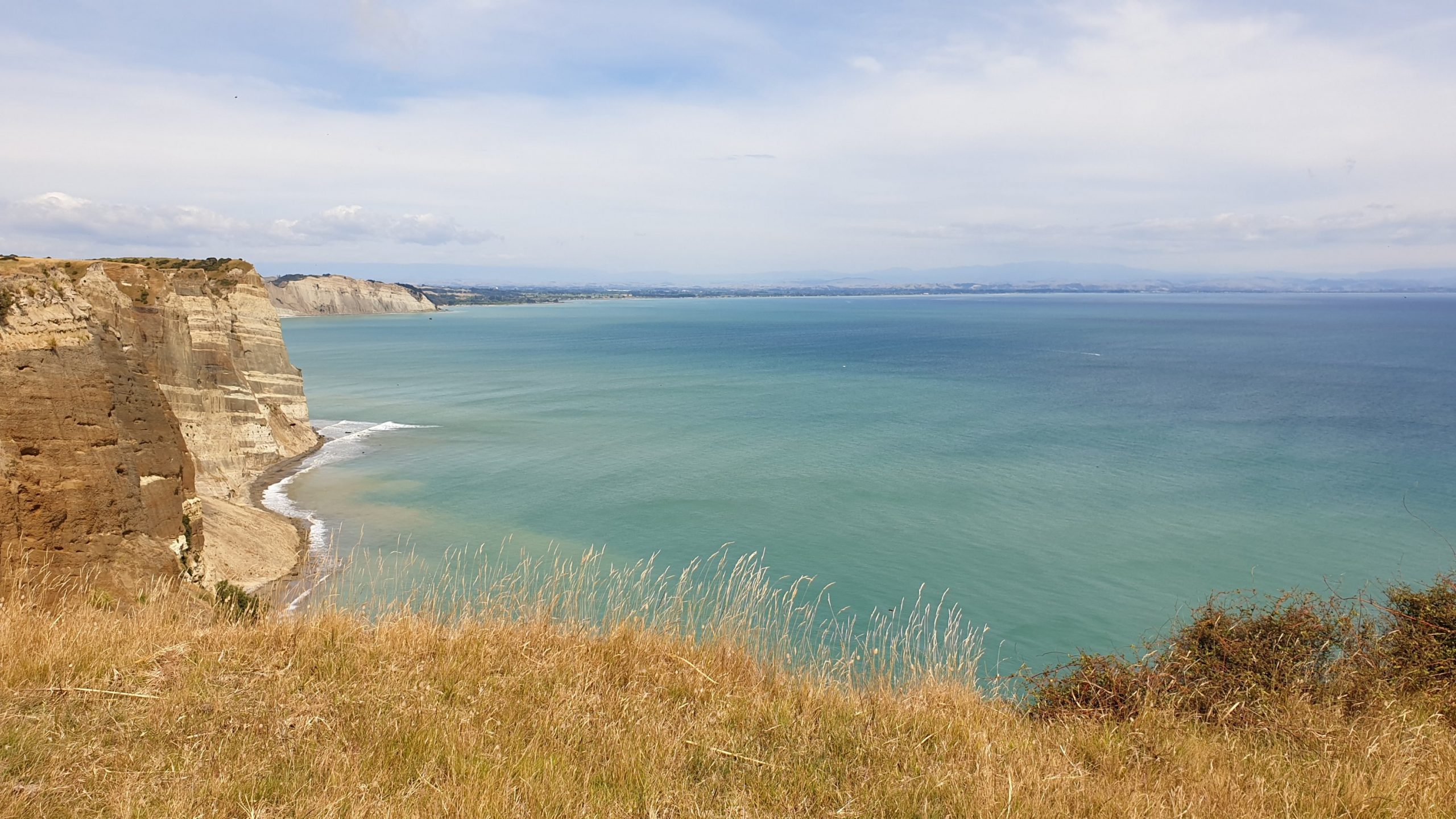
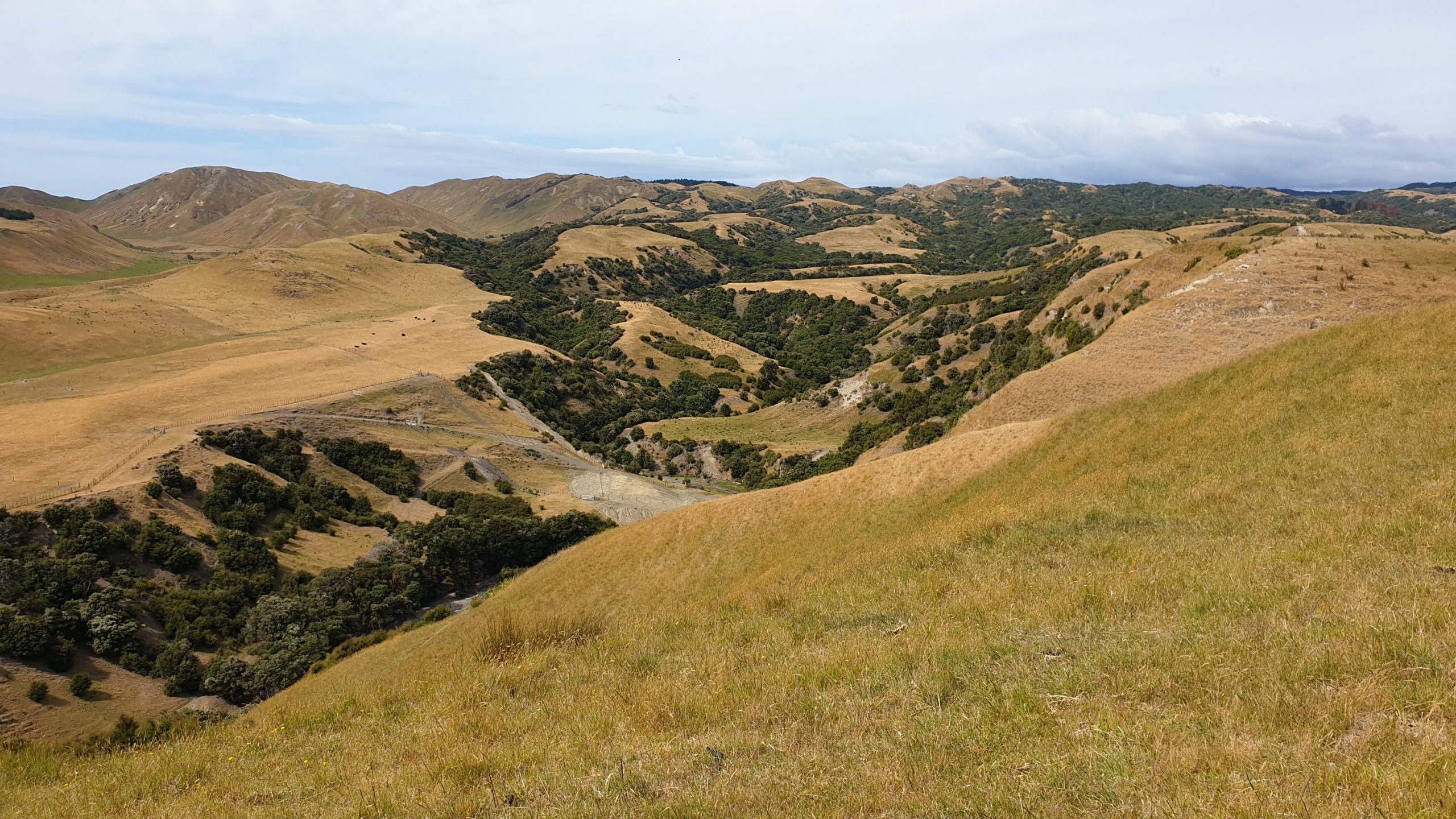
We continue until we hit the Plateau Colony as well as the inaccessible colony above the caves- The Saddle Colony. David Attenborough filmed and photographed this colony in the 1980s. The birds are not worried by humans , rather more so by each other!! The gannets are related to the boobys that I have seen around the Galapagos Islands. They do come here to mate, lay eggs, look after their young and head off to Australia before the New Zealand winter kicks in.
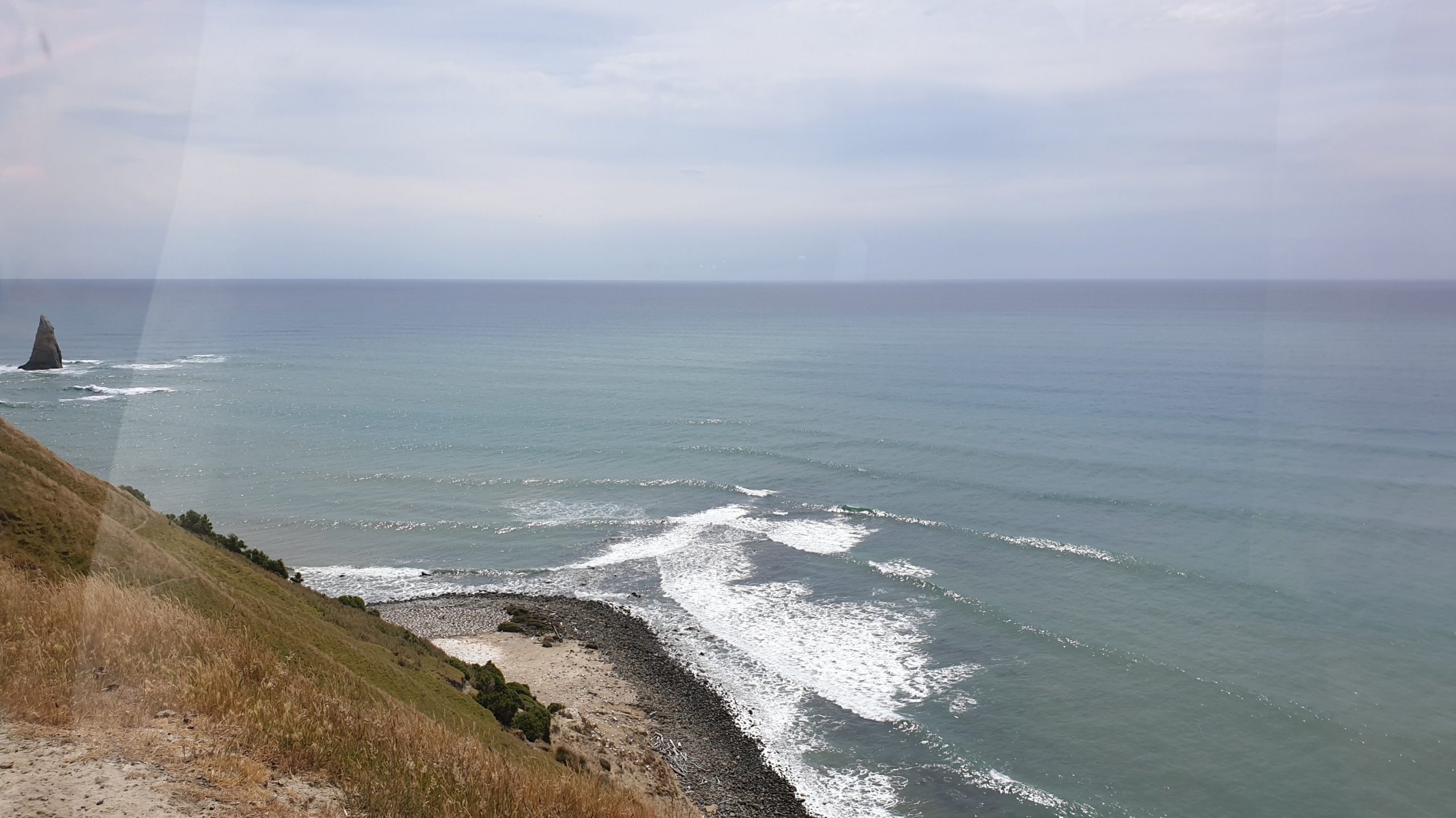
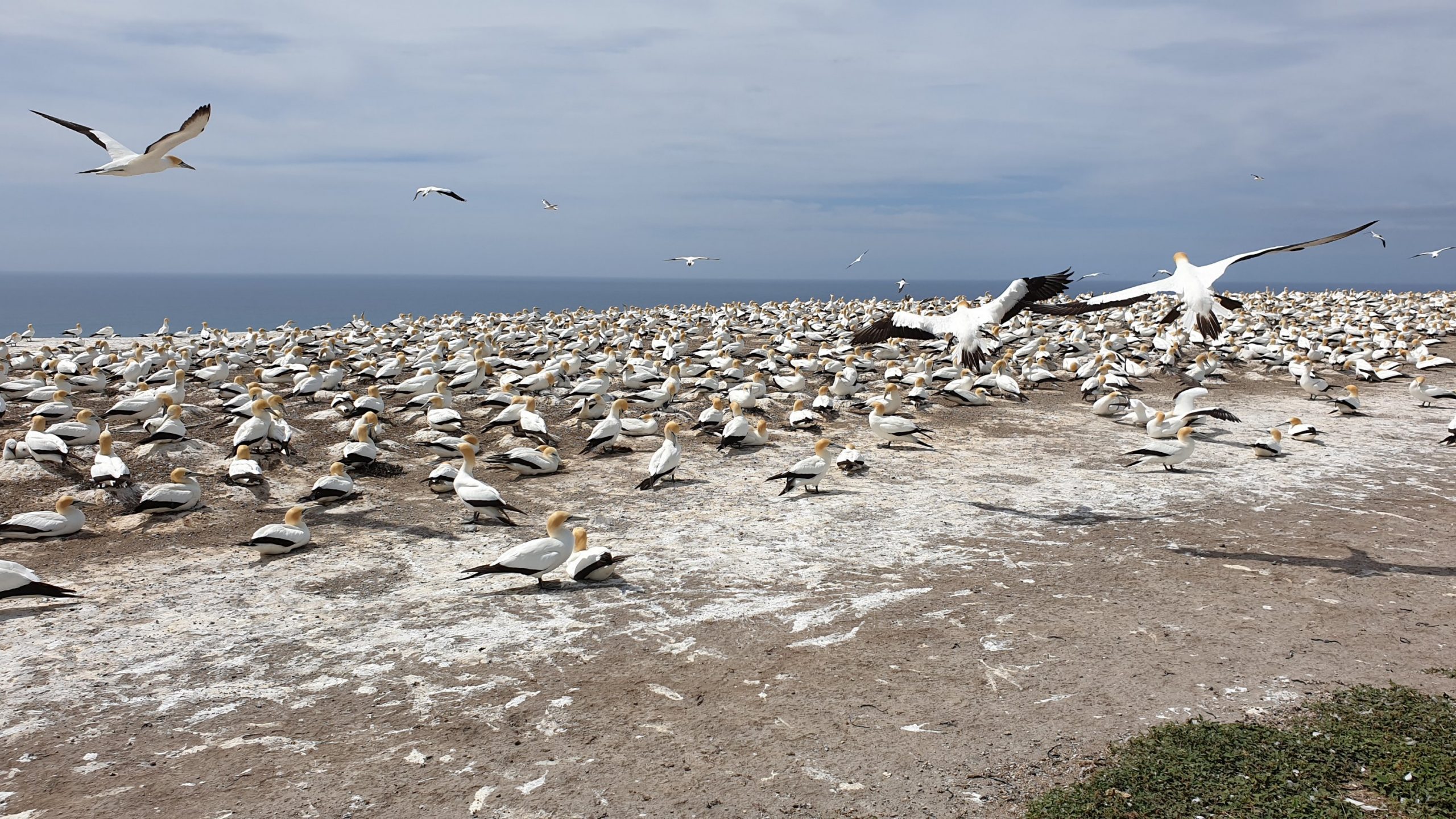
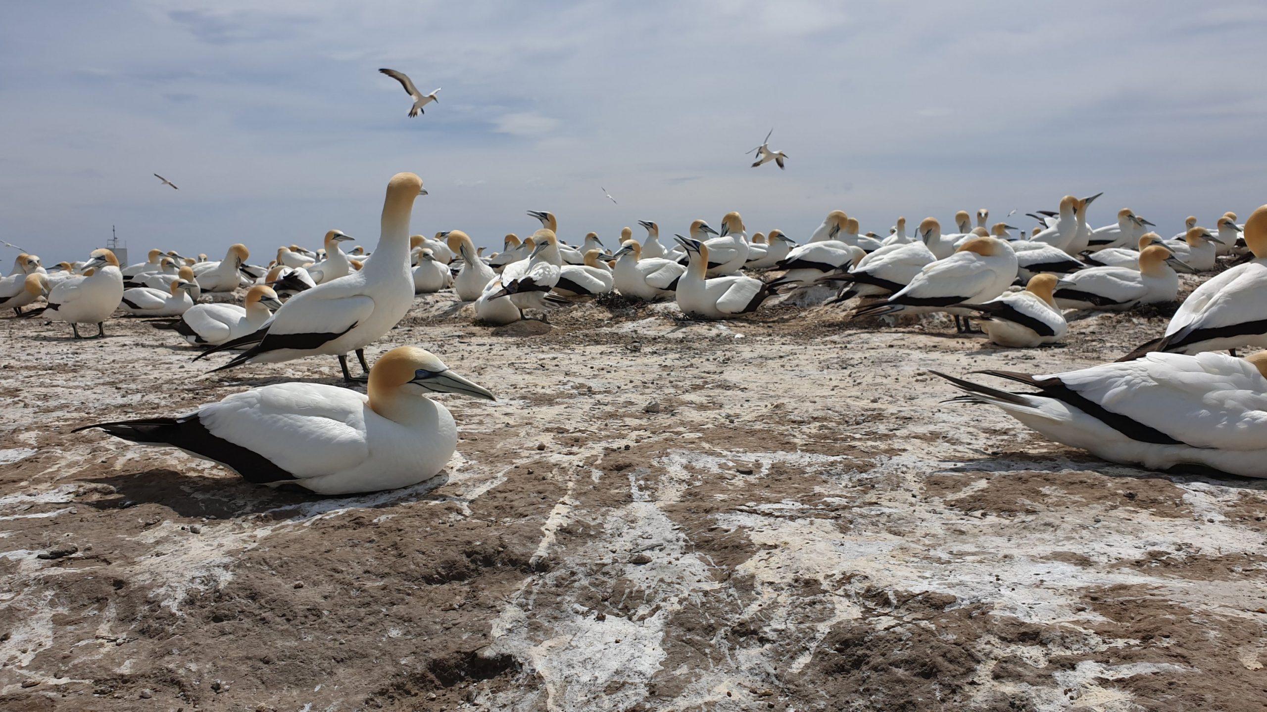
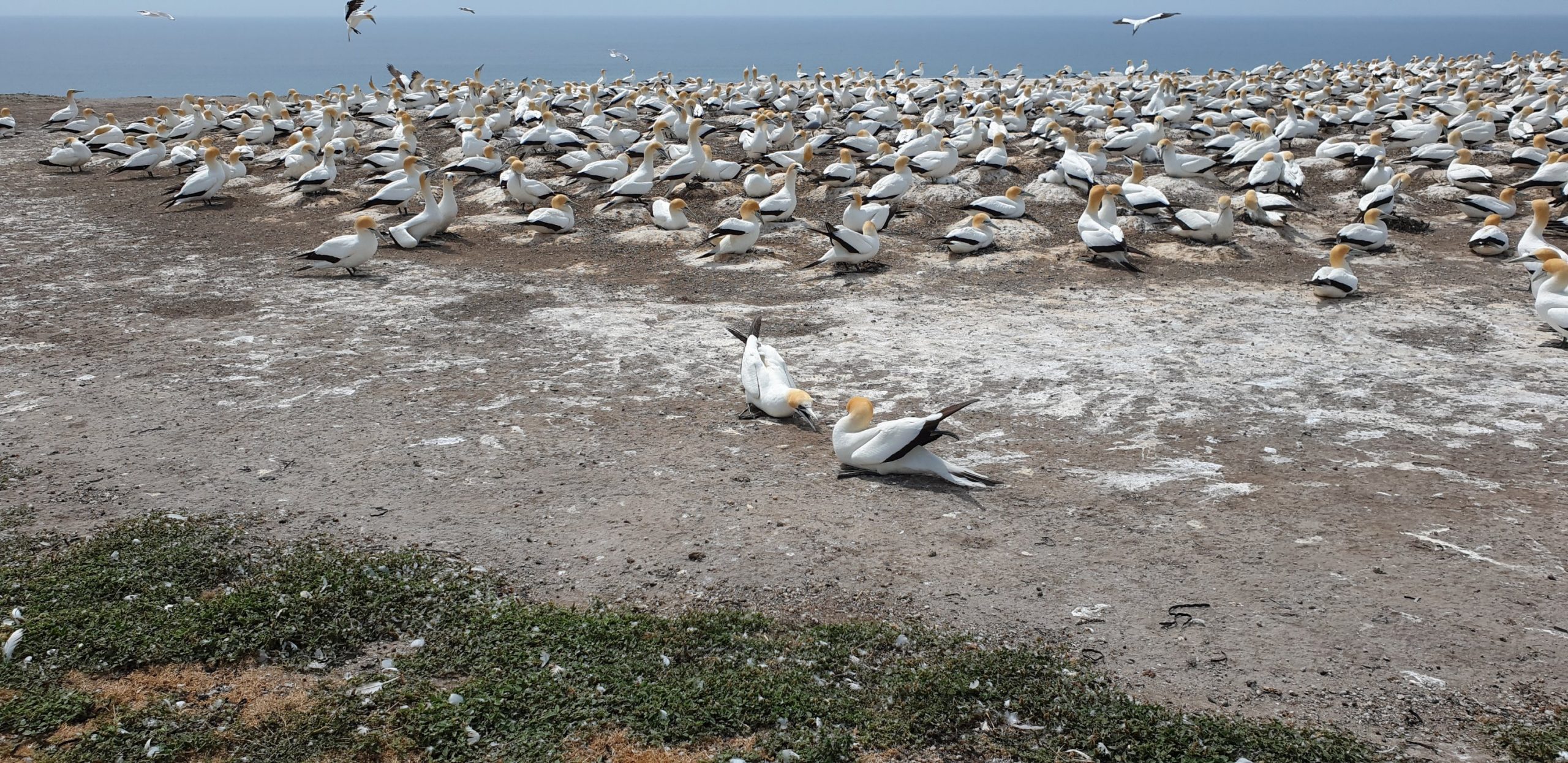
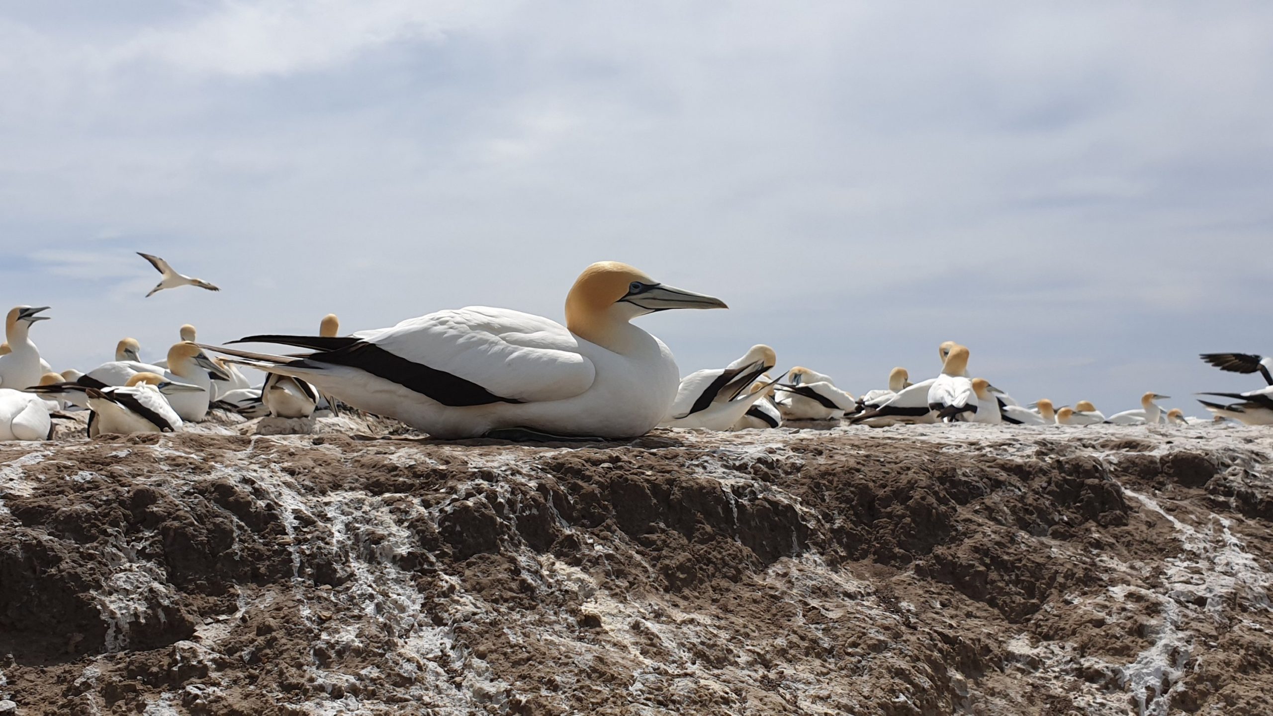
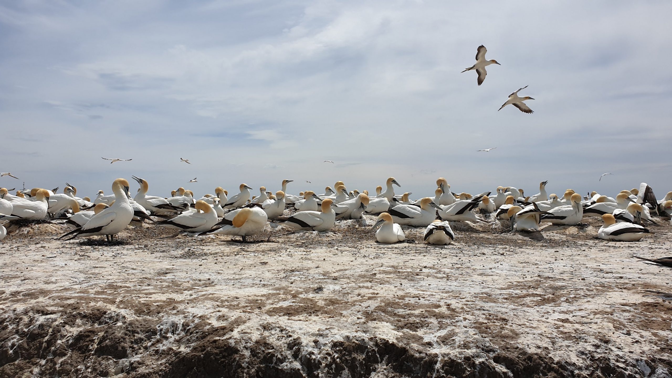
Only 30% of the birds make it back across the ocean!When the birds land at their nest they greet their partner with a dance, heads straight in the air and breaks touching. If their neighbour doesn’t appreciate their arrival then a fight ensues!! They do draw blood sometimes! There were many nests with fluffy chicks in them, some already quiet large.
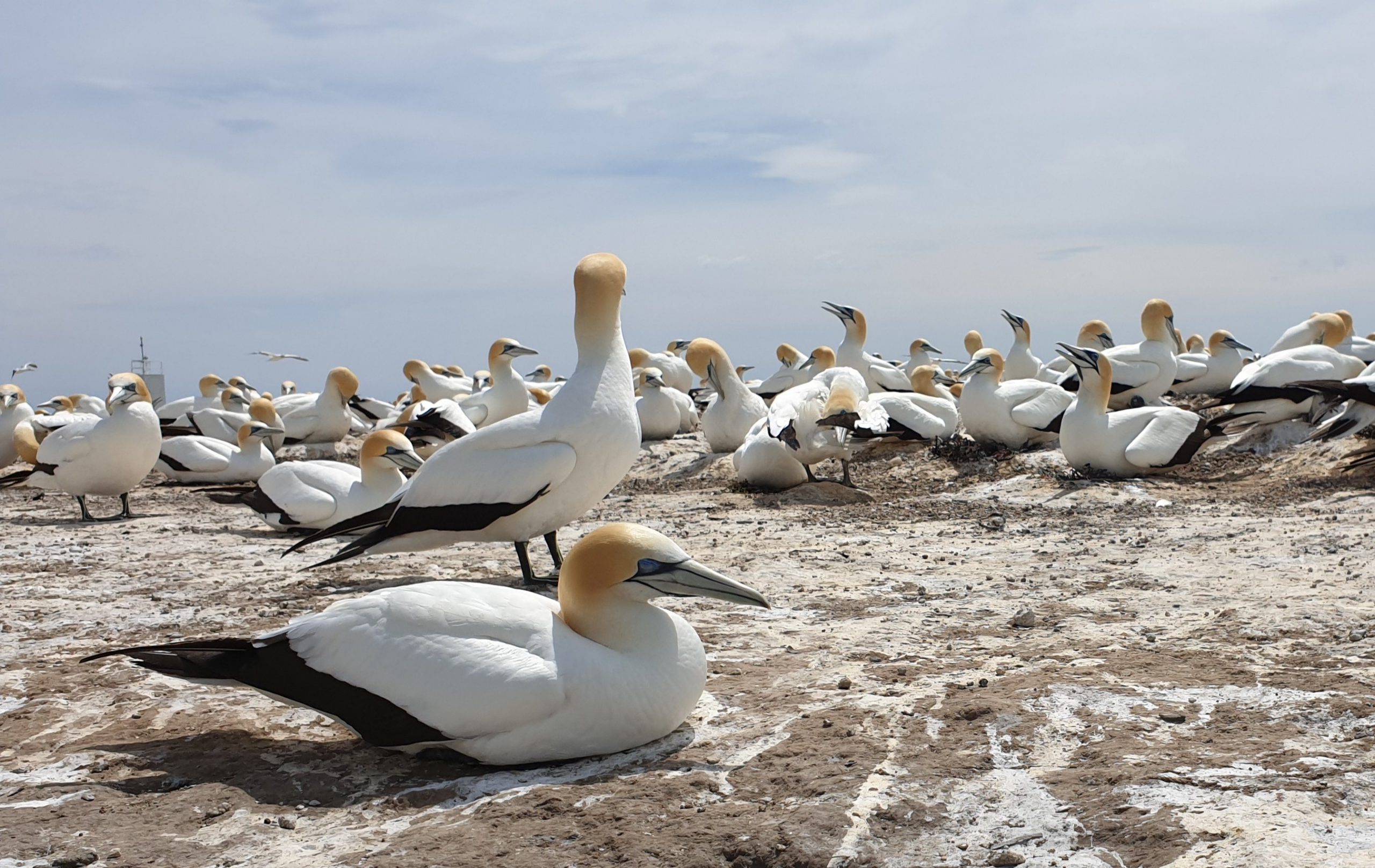
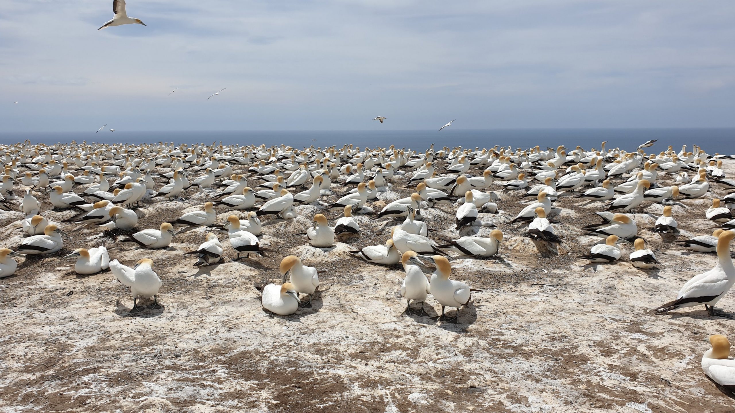
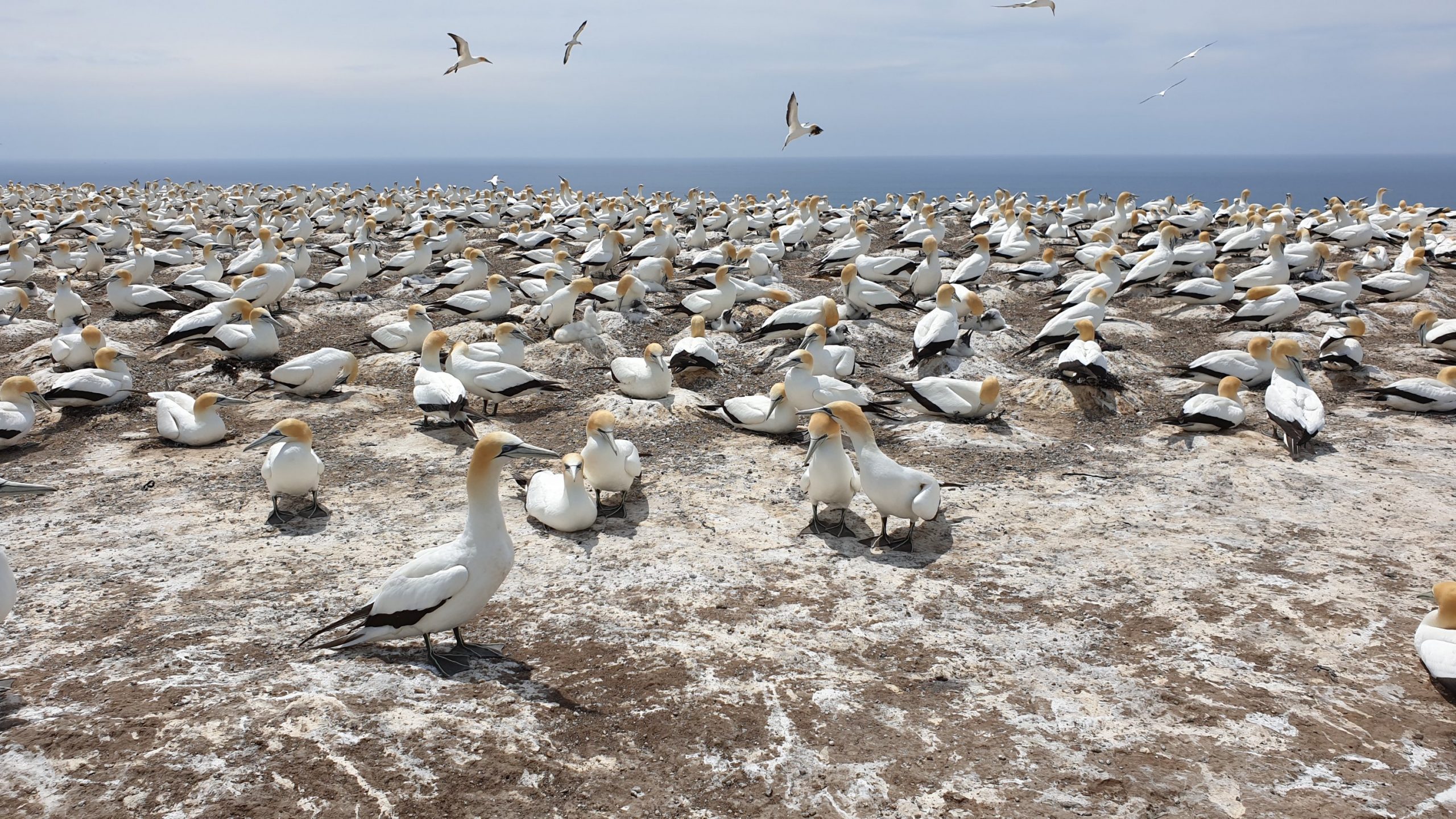
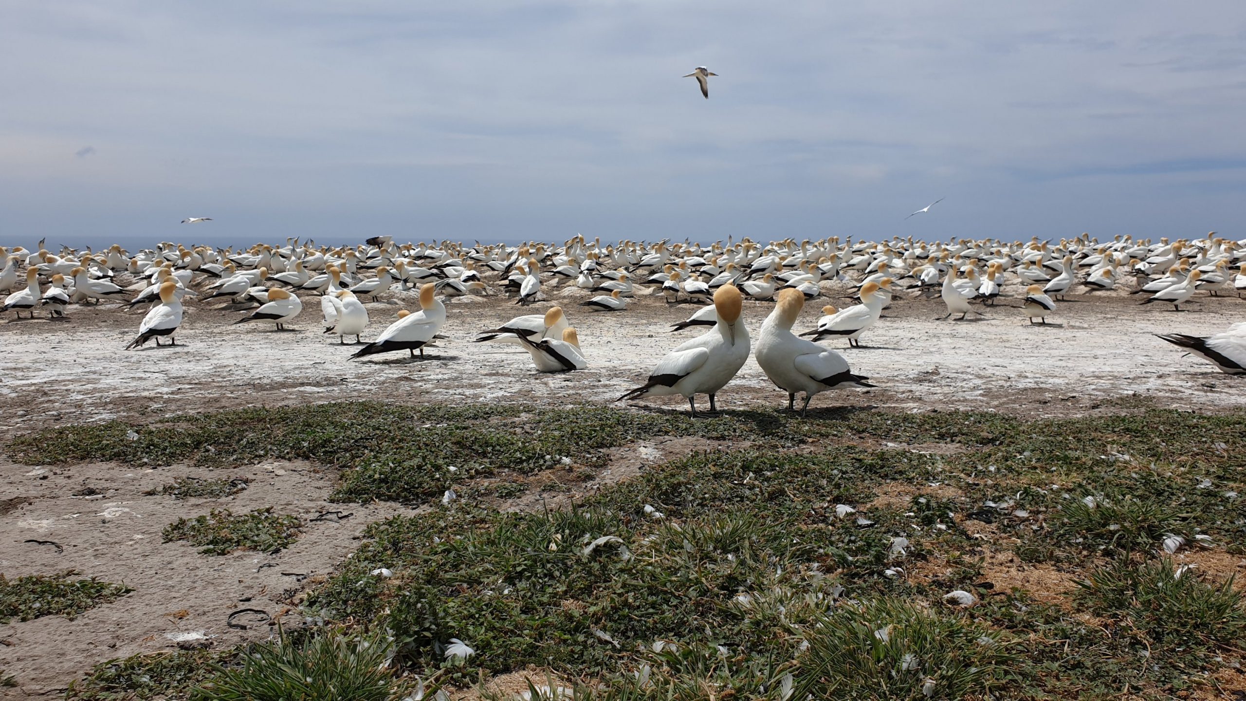
I witnessed some pre-mating preening rituals. The males attempt to subdue the females by holding their heads/ necks in their beaks while attempting to get on their backs.
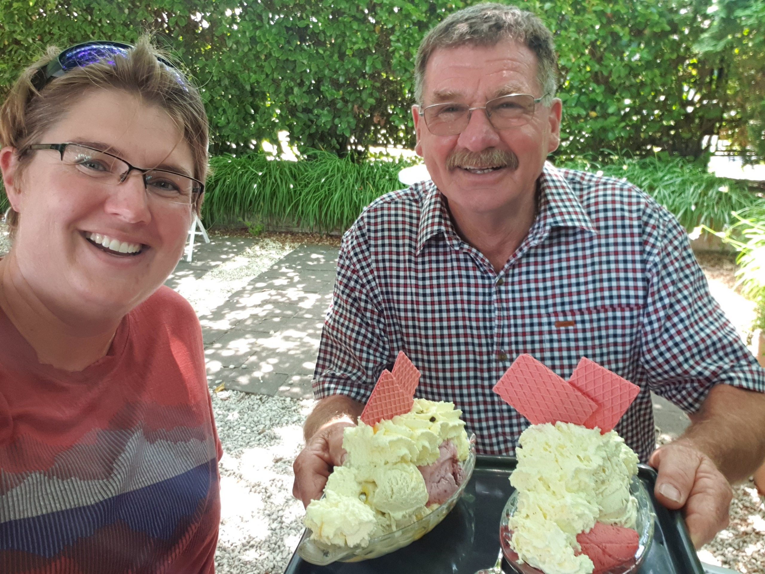
It was great to watch these birds for over half an hour before we headed back.We planned to have lunch at a winery though both were booked out!! Mind you, one even had 8 visitors that flew in by helicopter!!! Wow! In the end we had a vegetarian meal in Havelock and delicious ice cream at Rush Munros in Hastings!! My favourite flavour- lemon gin!! Yes!! Gin!
Tongariro Alpine Crossing
Day 53
Km 20
Cumulative Km 694
An early start with a 05h30 pick up to help beat the crowds a bit as we were setting off on the Tongariro Alpine Crossing- New Zealand’s most popular day hike which sees up to 2,000 hikers per day!!
A 45min drive got us to the start and a chilly start too at near 0 C!
The first few kilometres are easy and have steps and boardwalks. We also saw the snow covered Ruapehue and walked in the shadow of Ngauruhoe- a classic volcano shape. Looking back you can also see the snow covered sharp peak of Mt Taranaki in the distance.
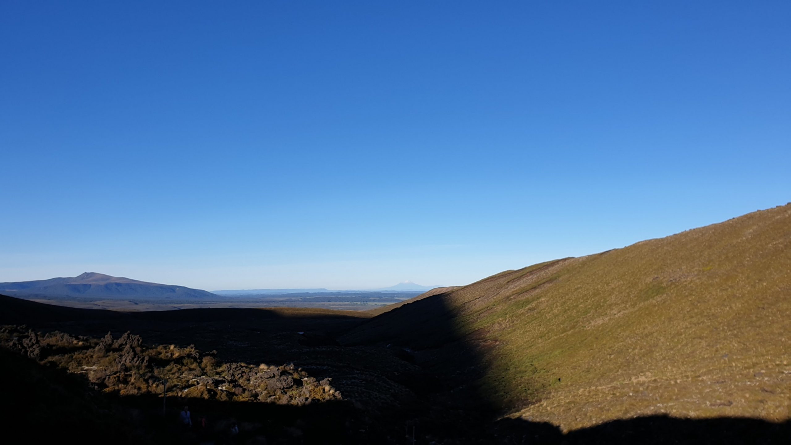
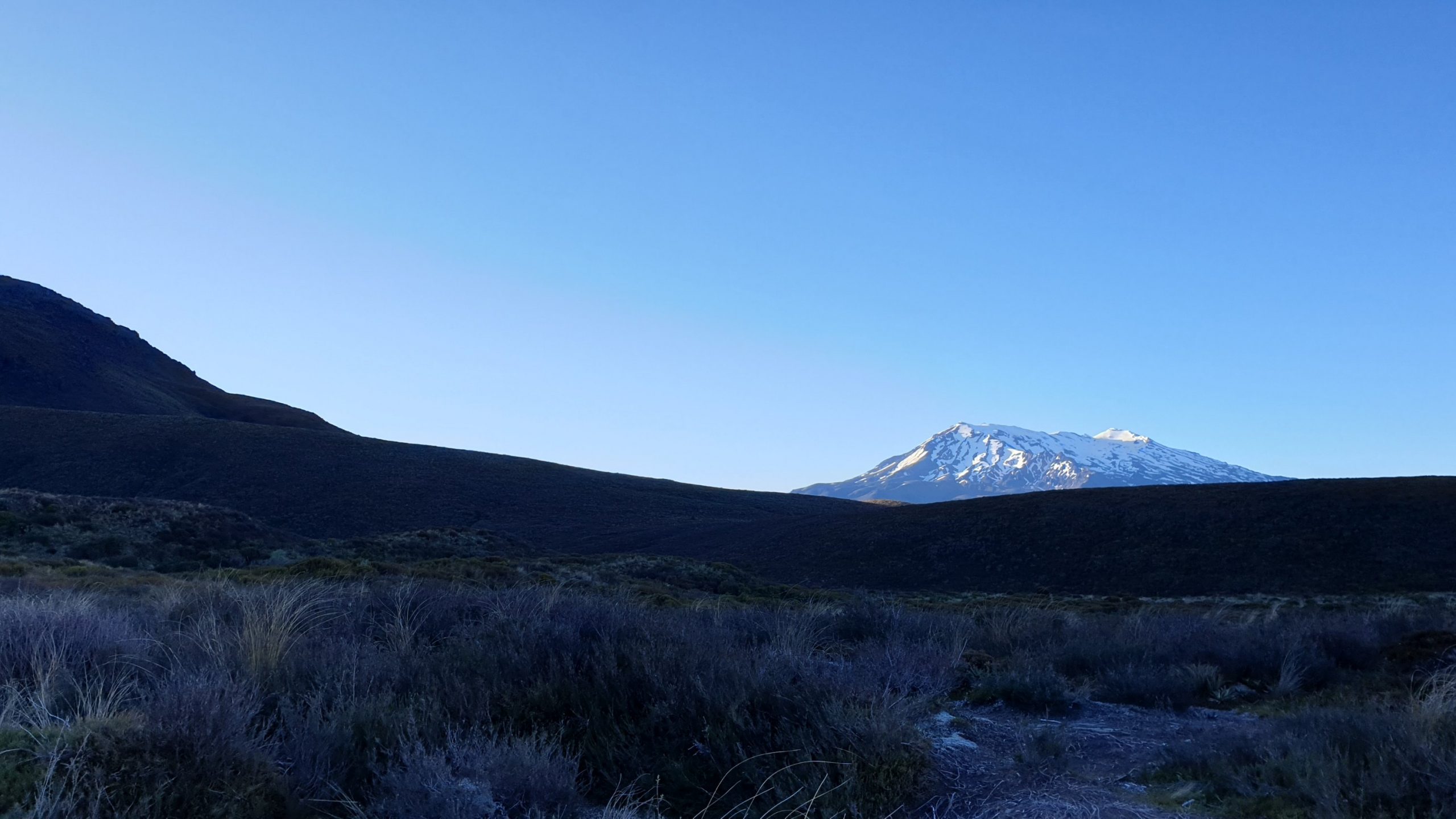
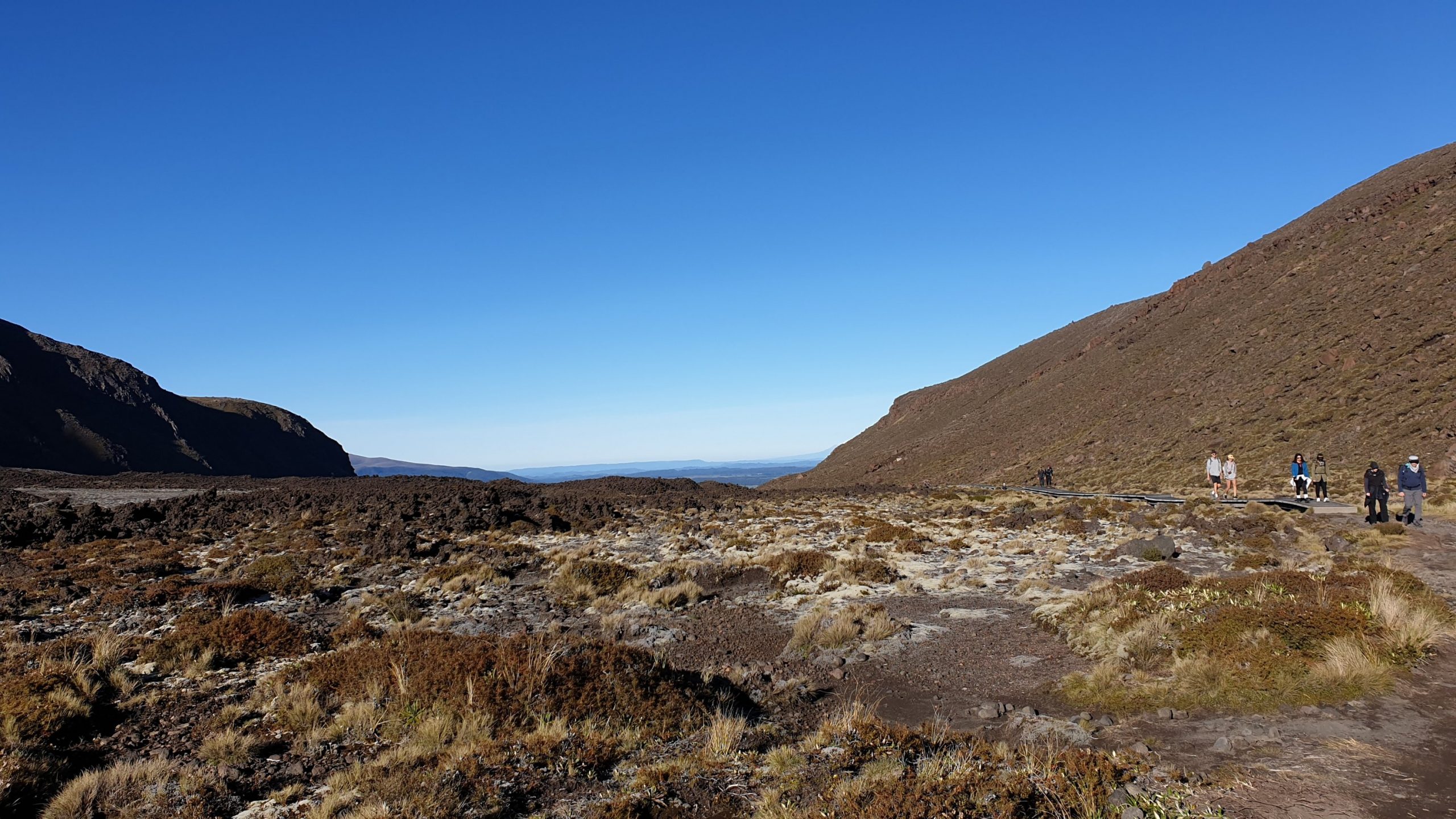
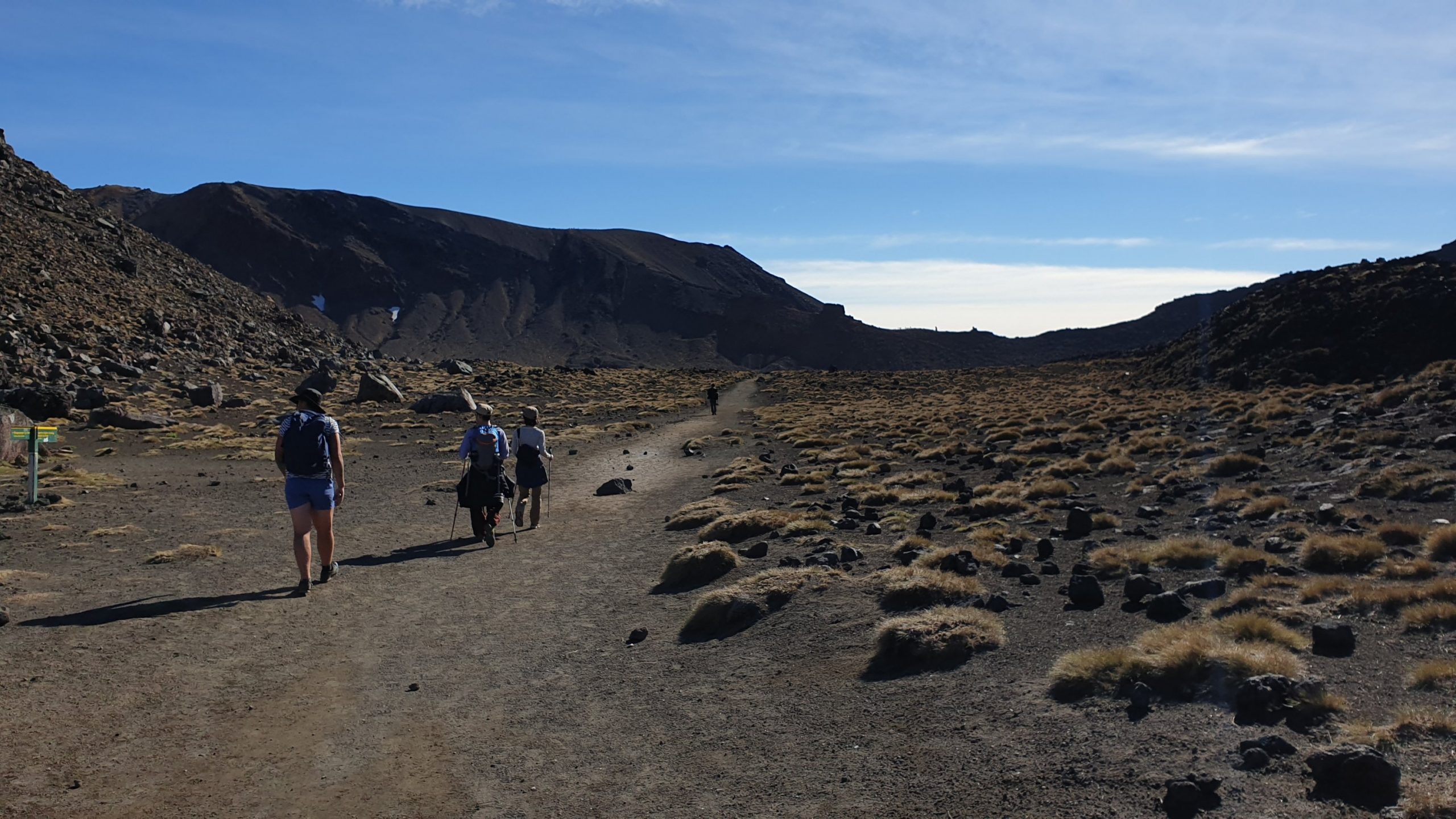
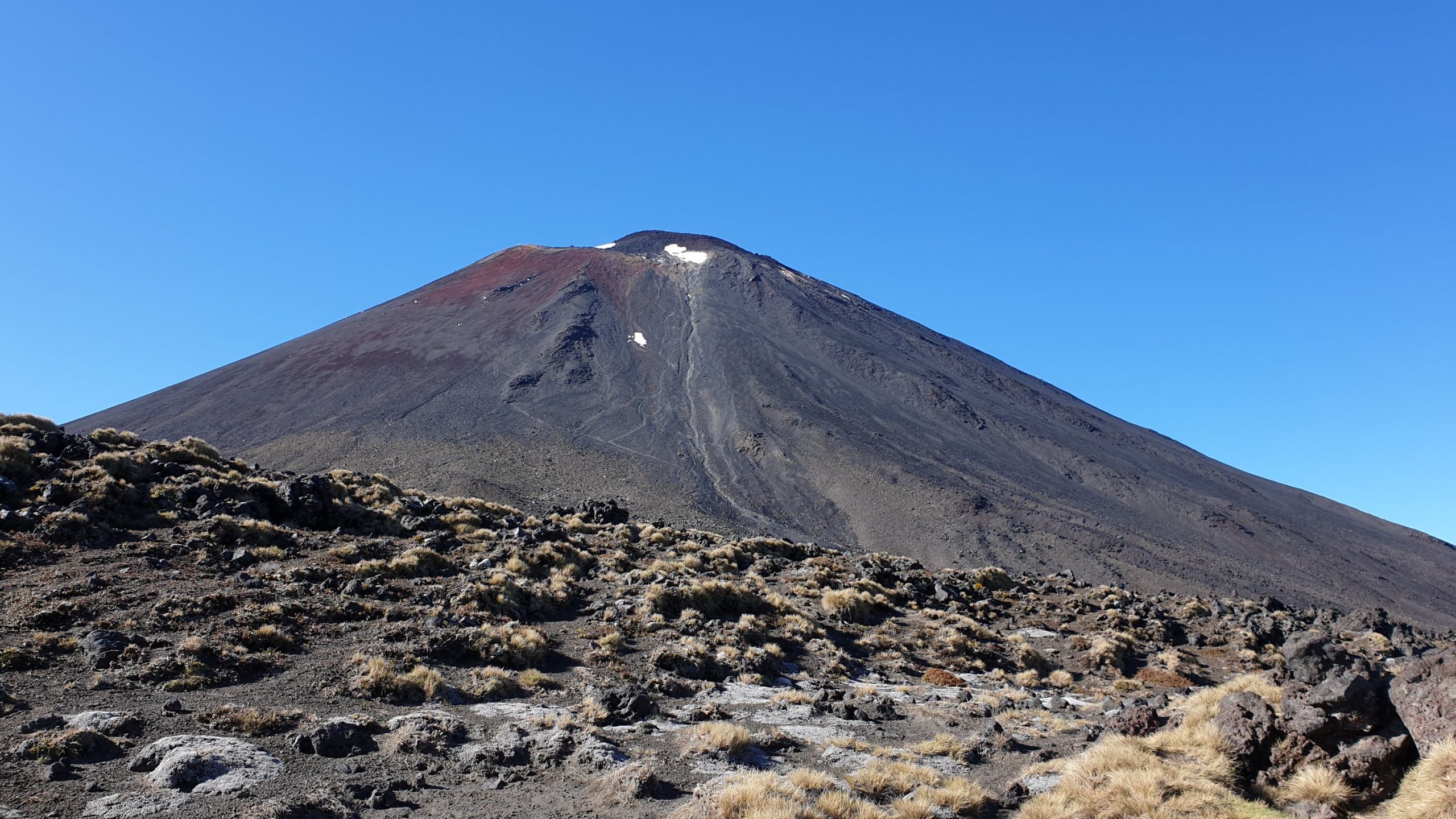
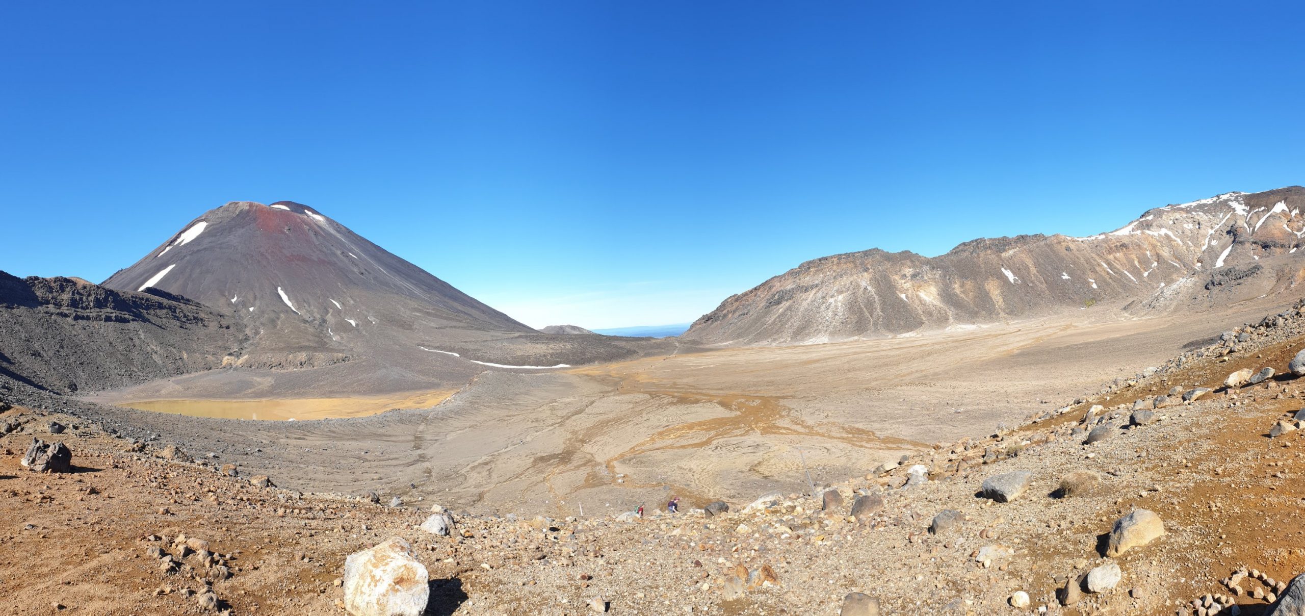
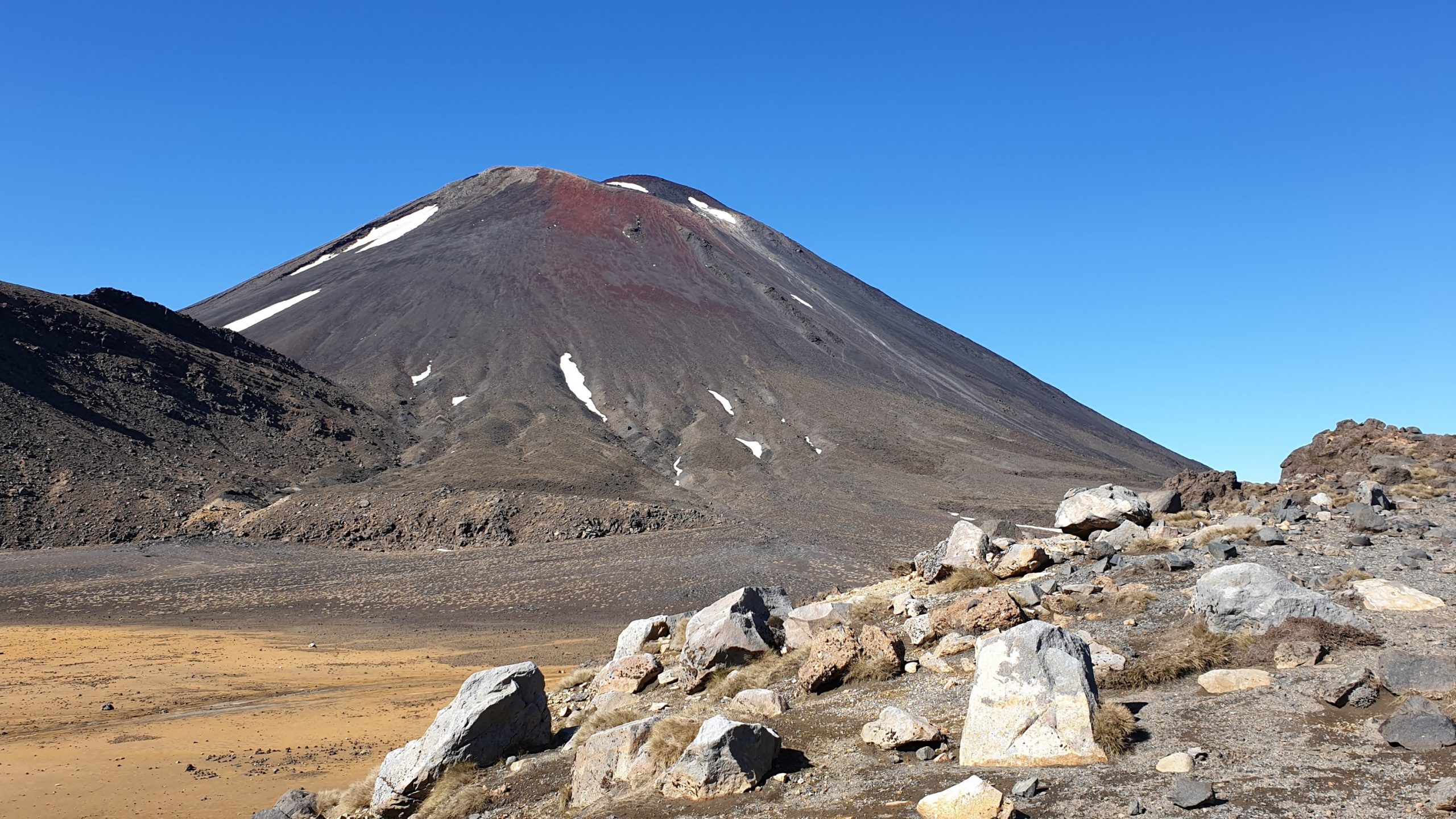
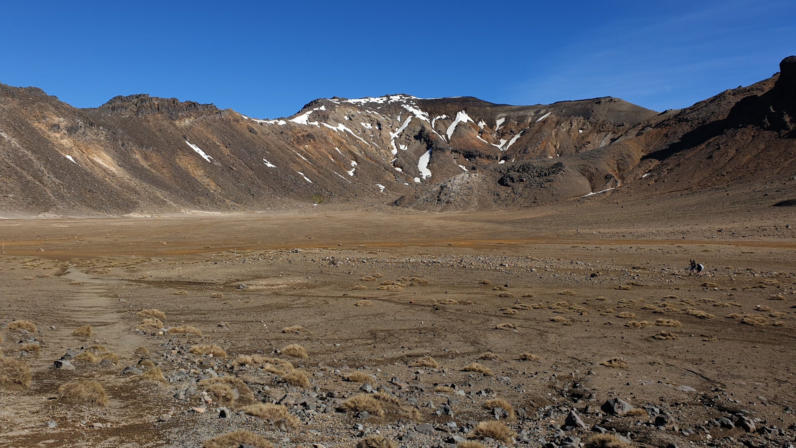
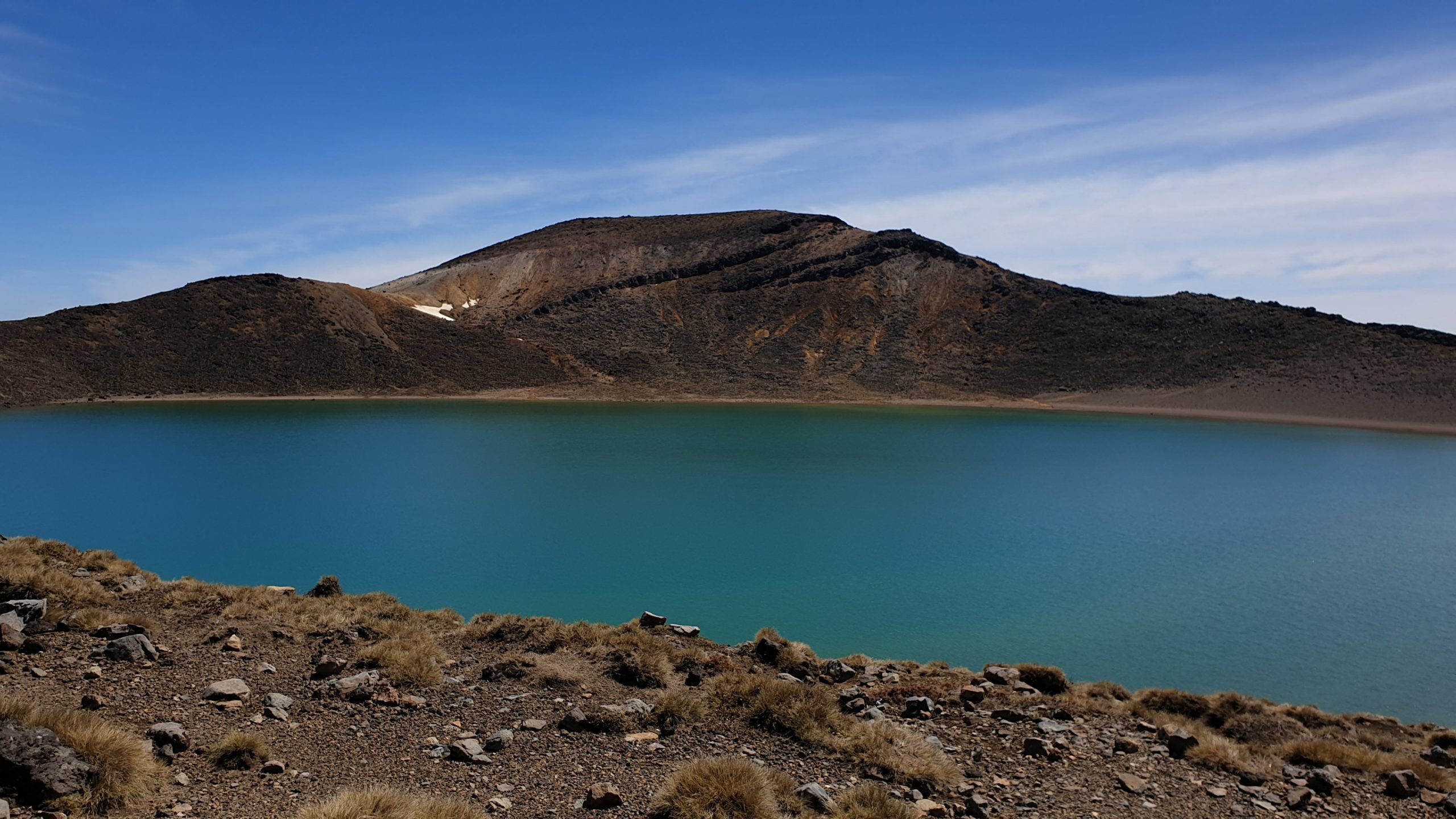
After this section is a longish uphill on stairs and loose rock, scree and sand , to the Red Crater. It is impressive with it’s dark maroon walls. From here you can also see the Emerald Lakes and large Blue Lake.
The downhill from the crater is a controlled, sort of, slide, down the scree mixture.
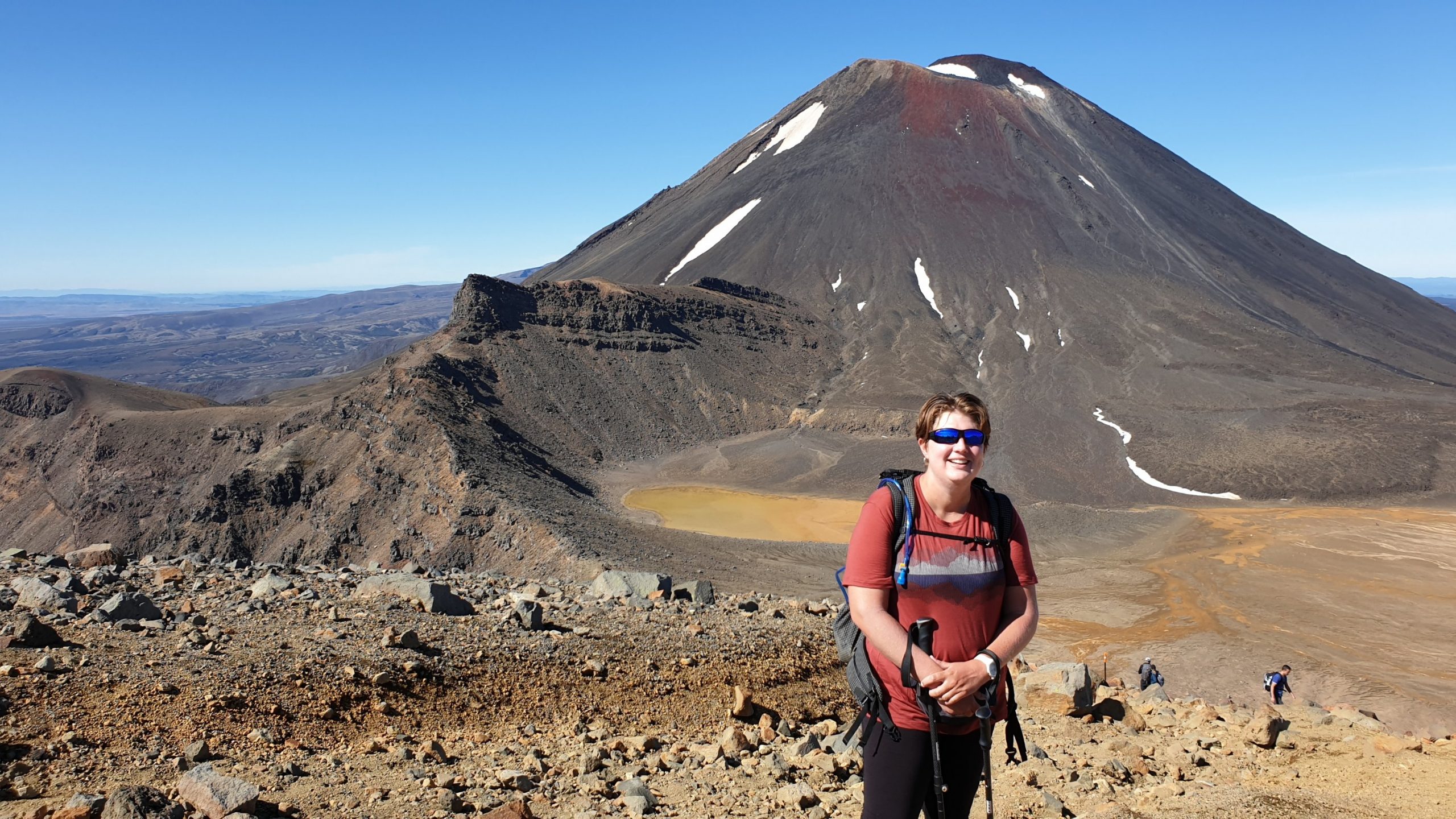
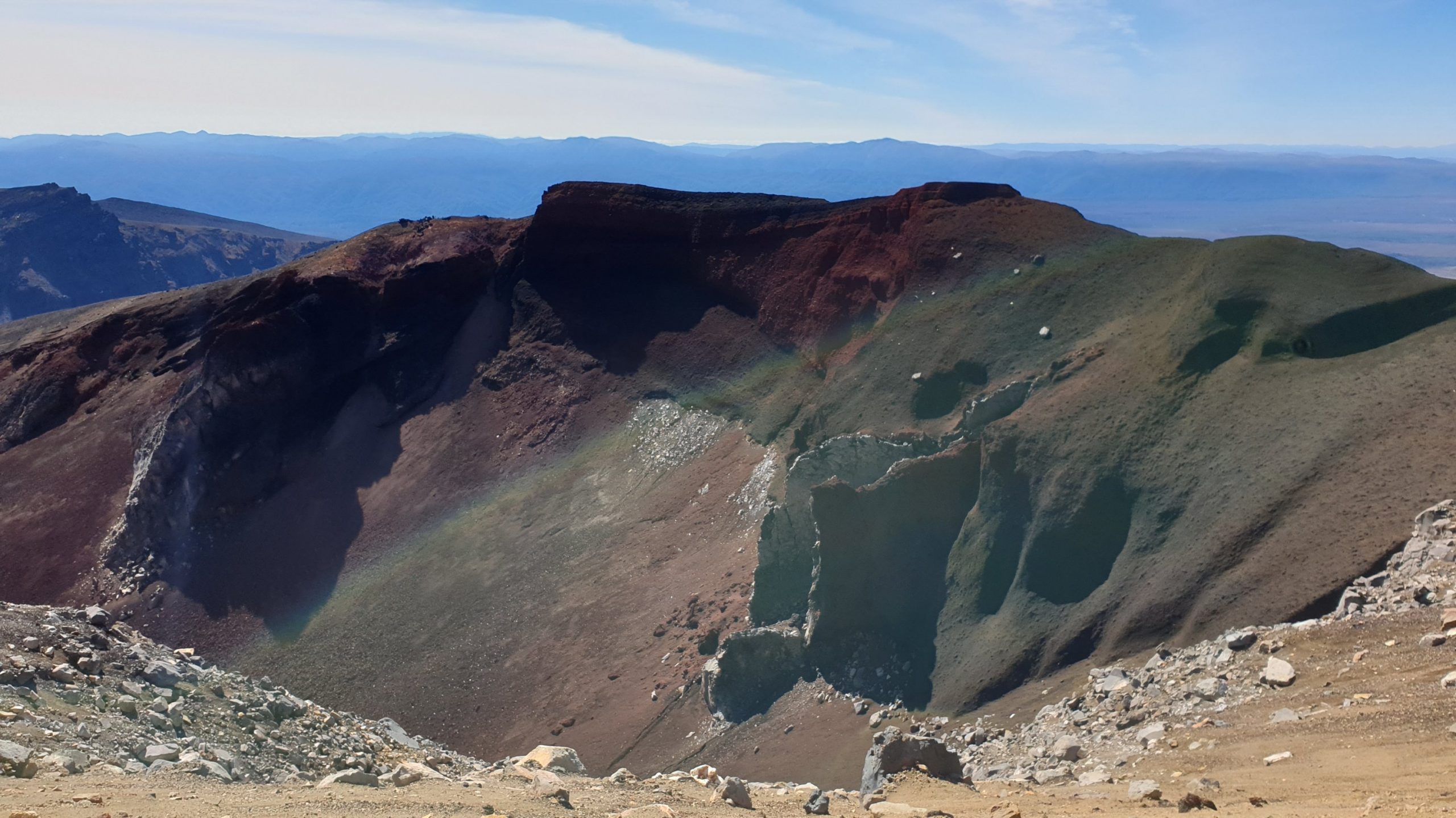
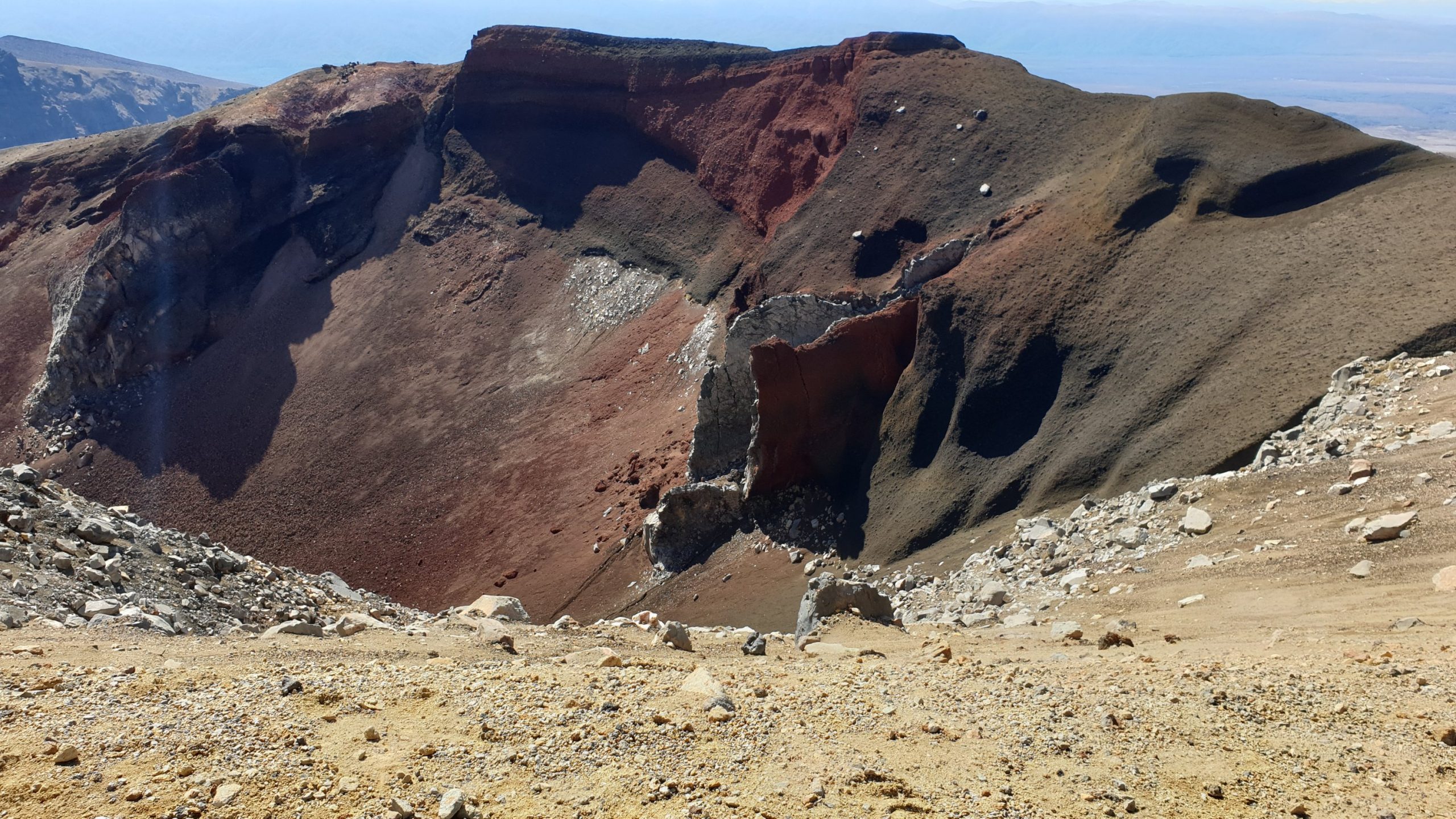
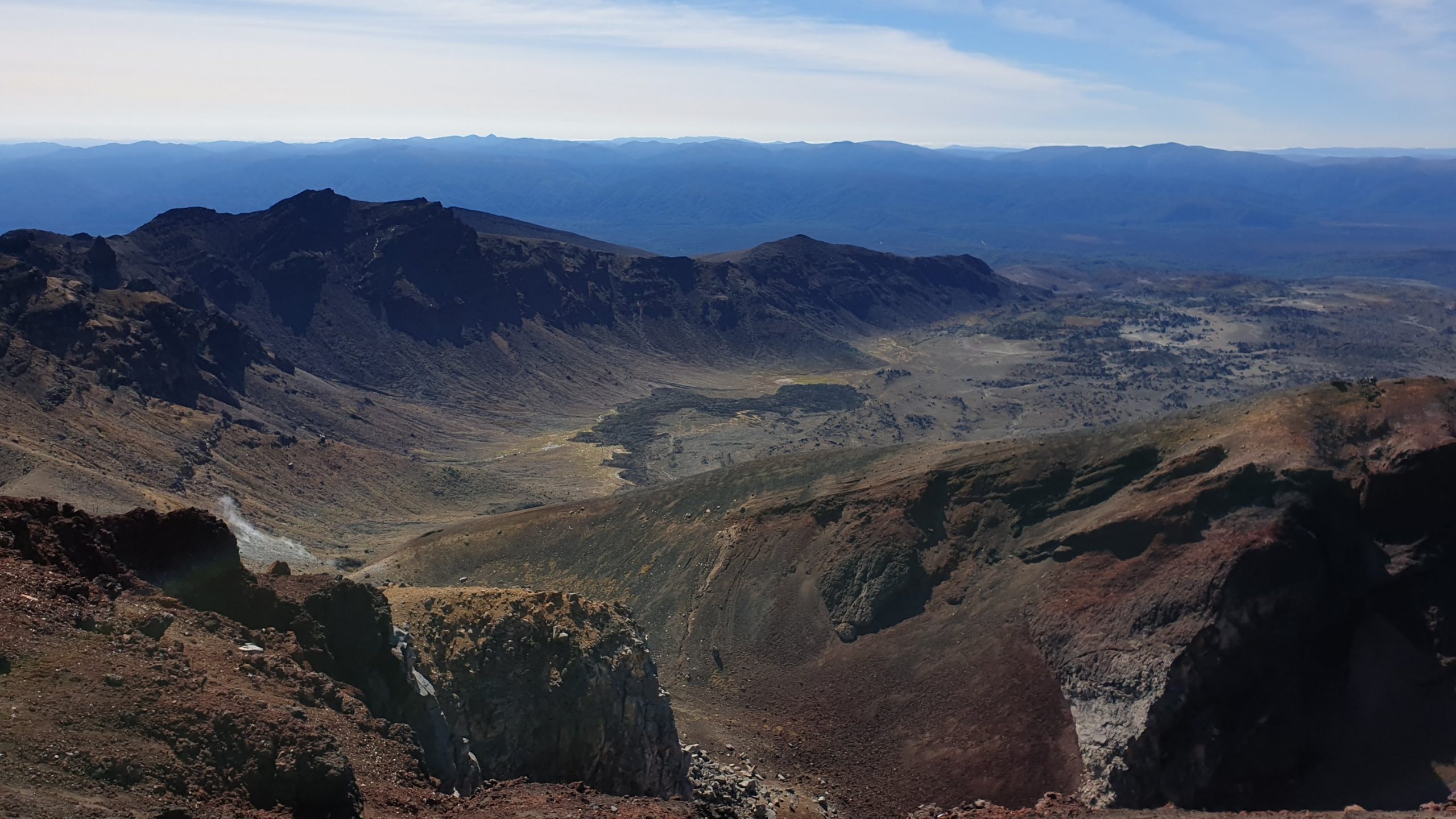
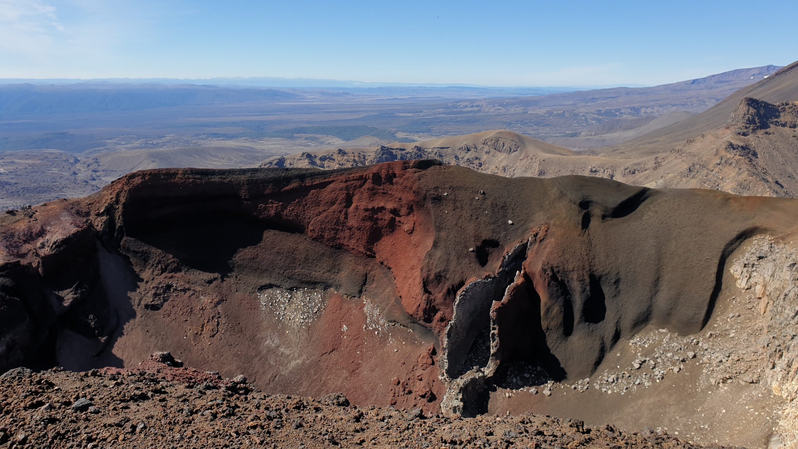
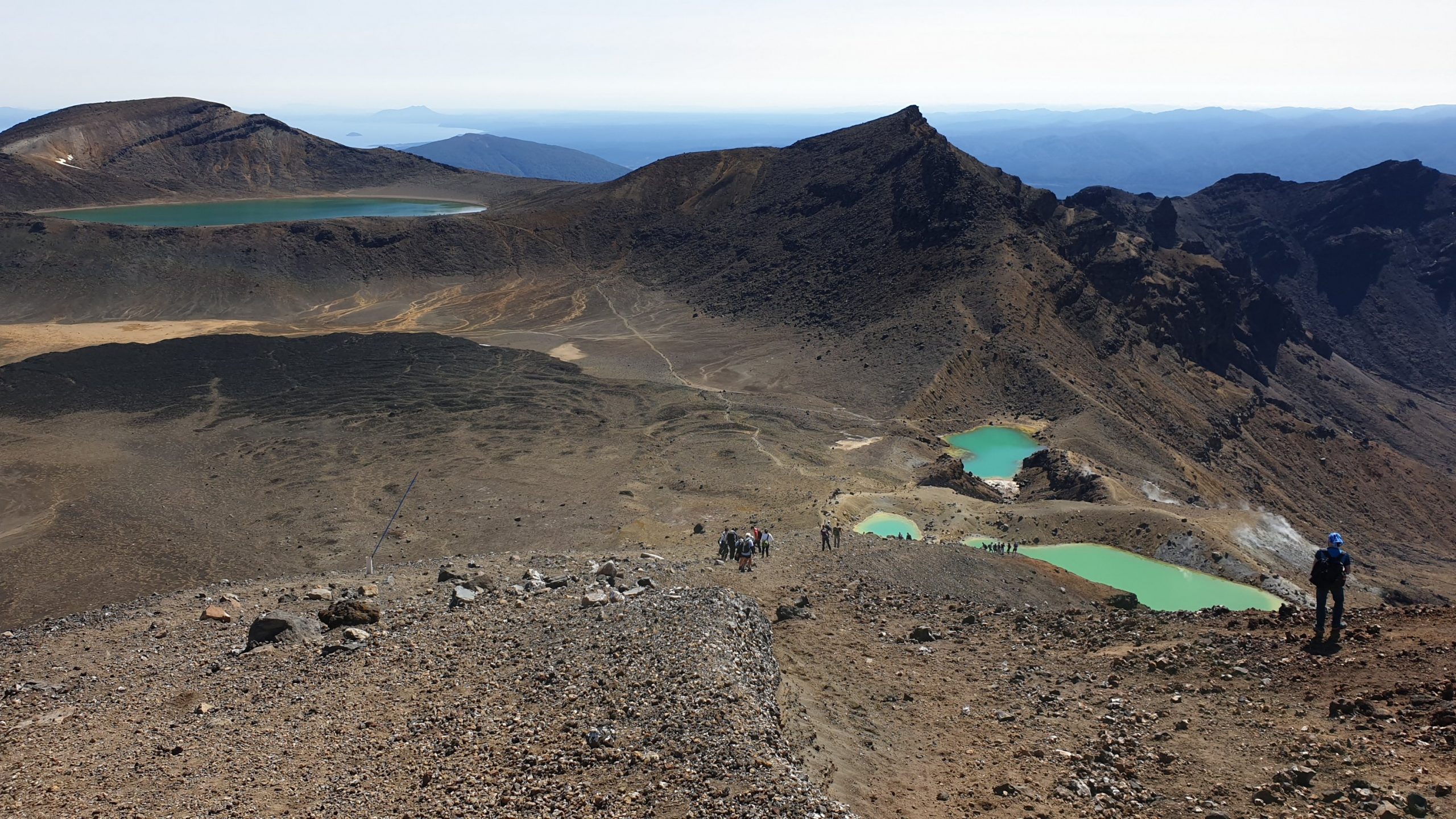
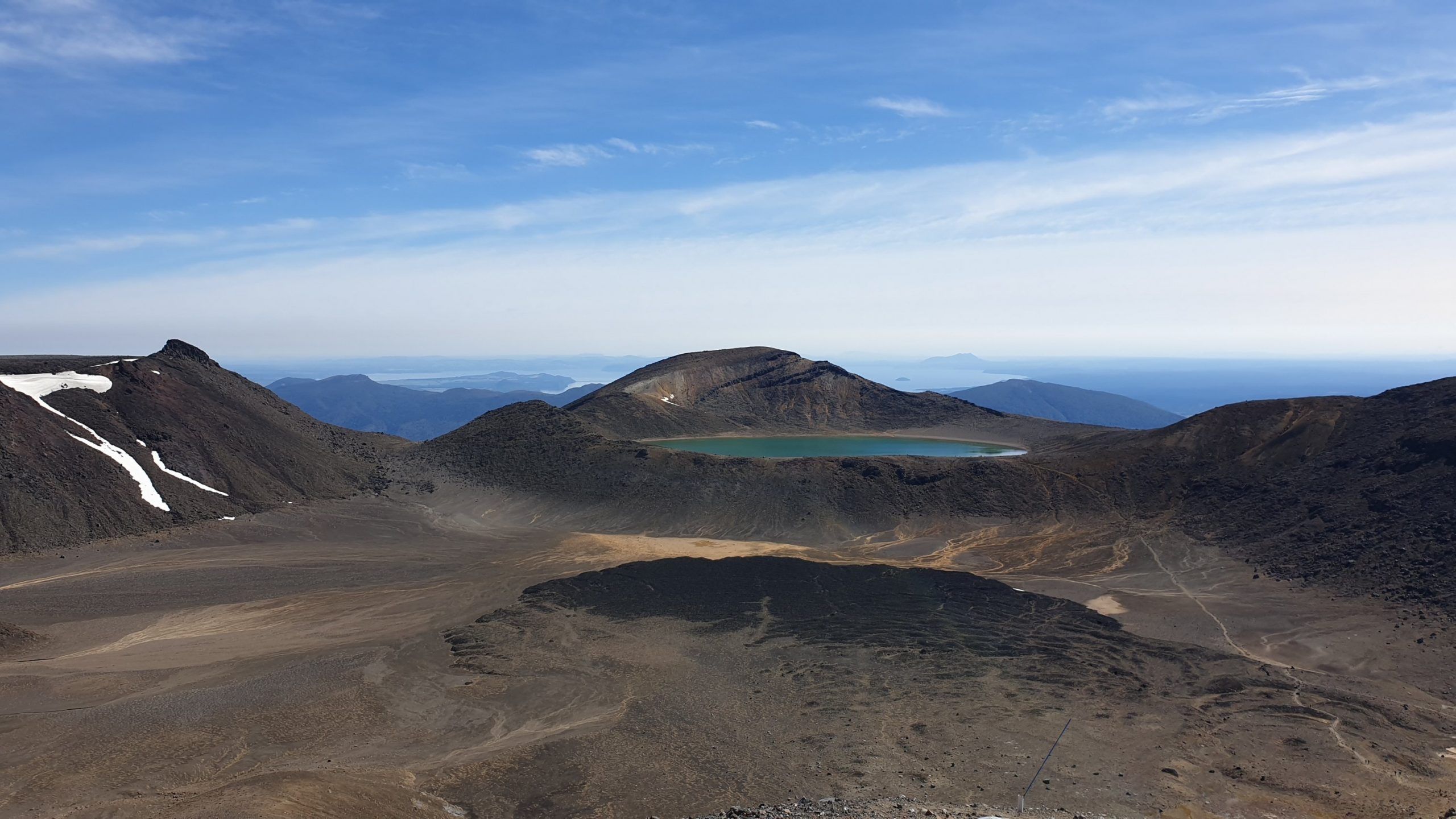
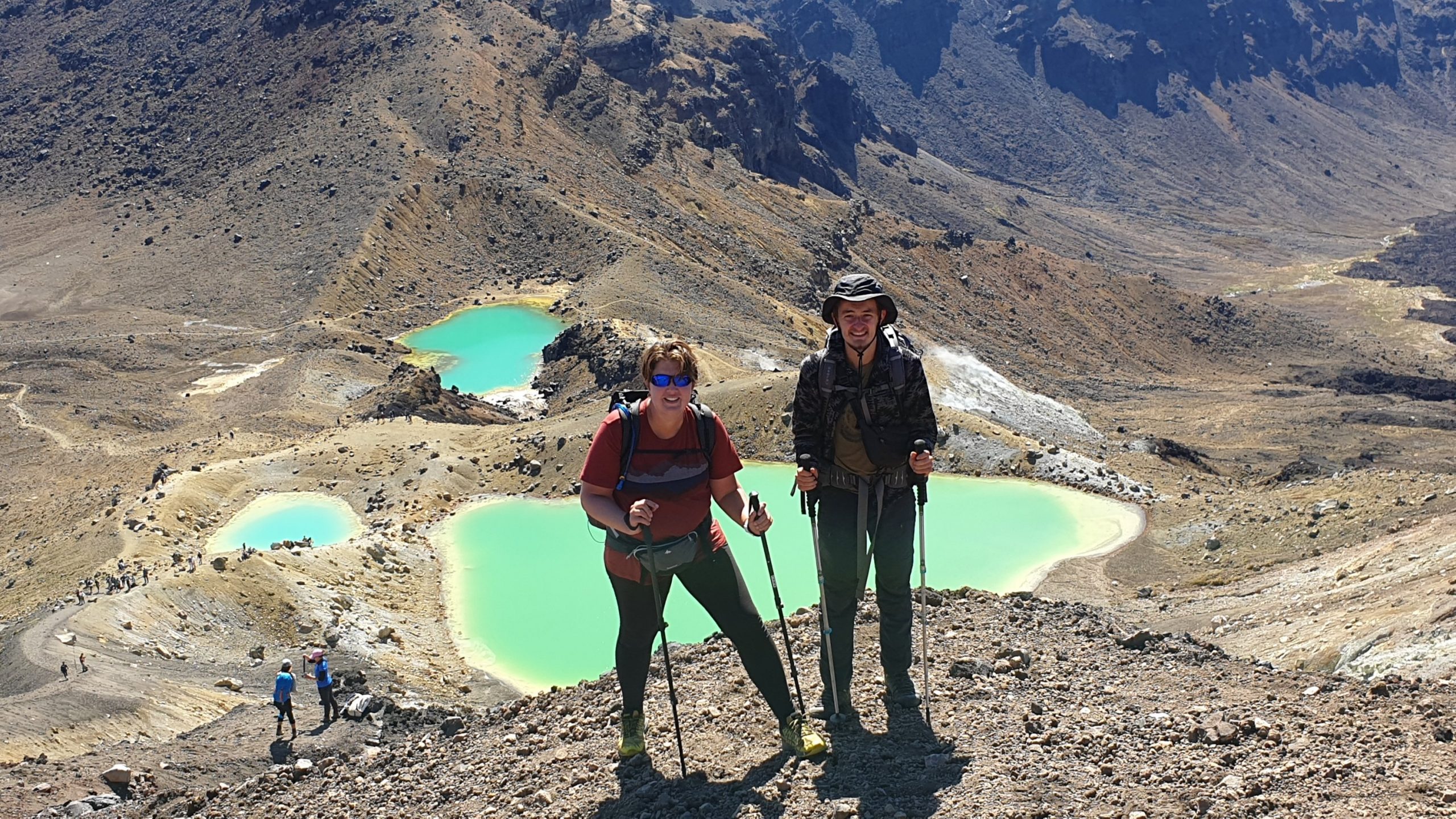
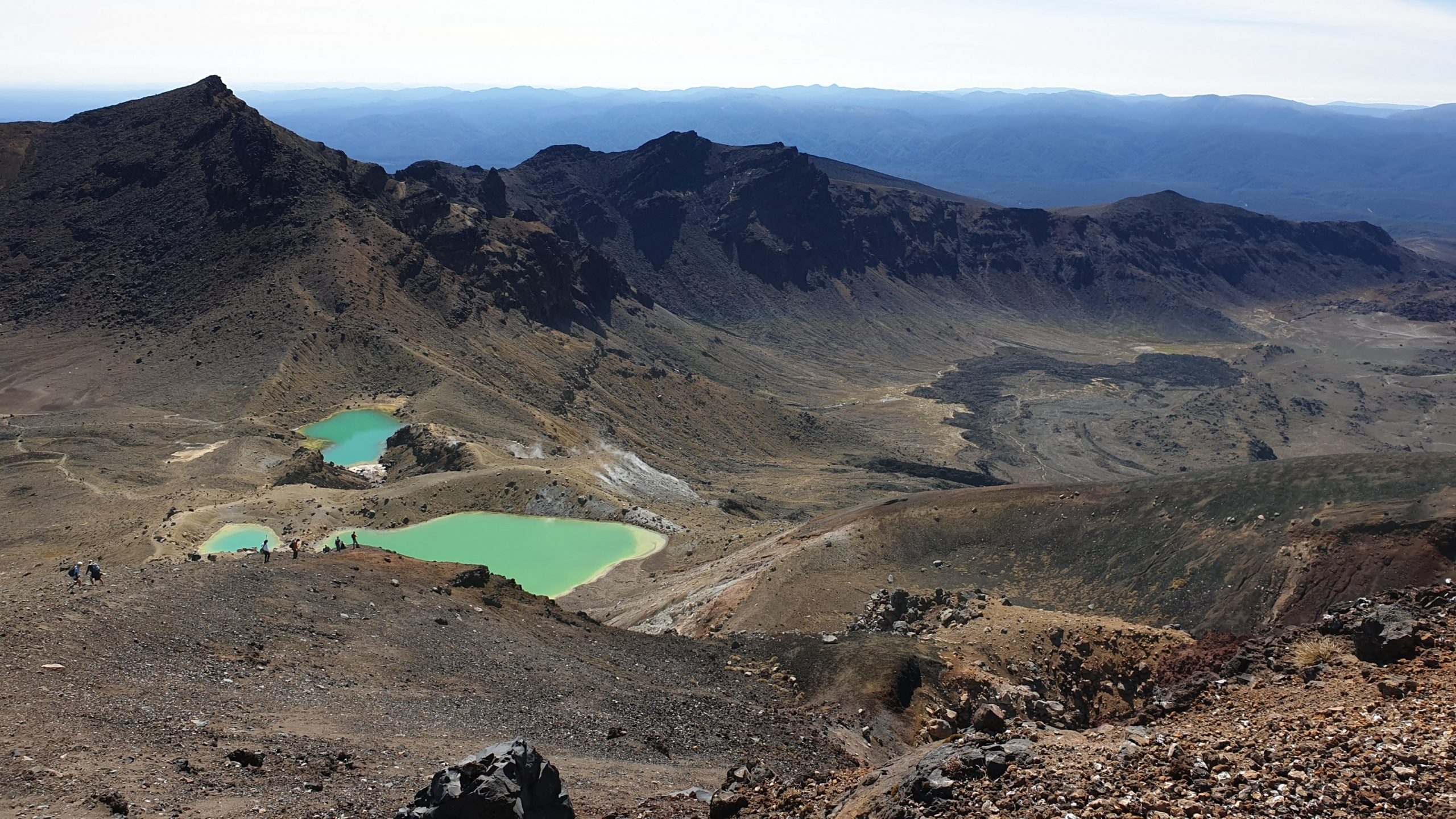
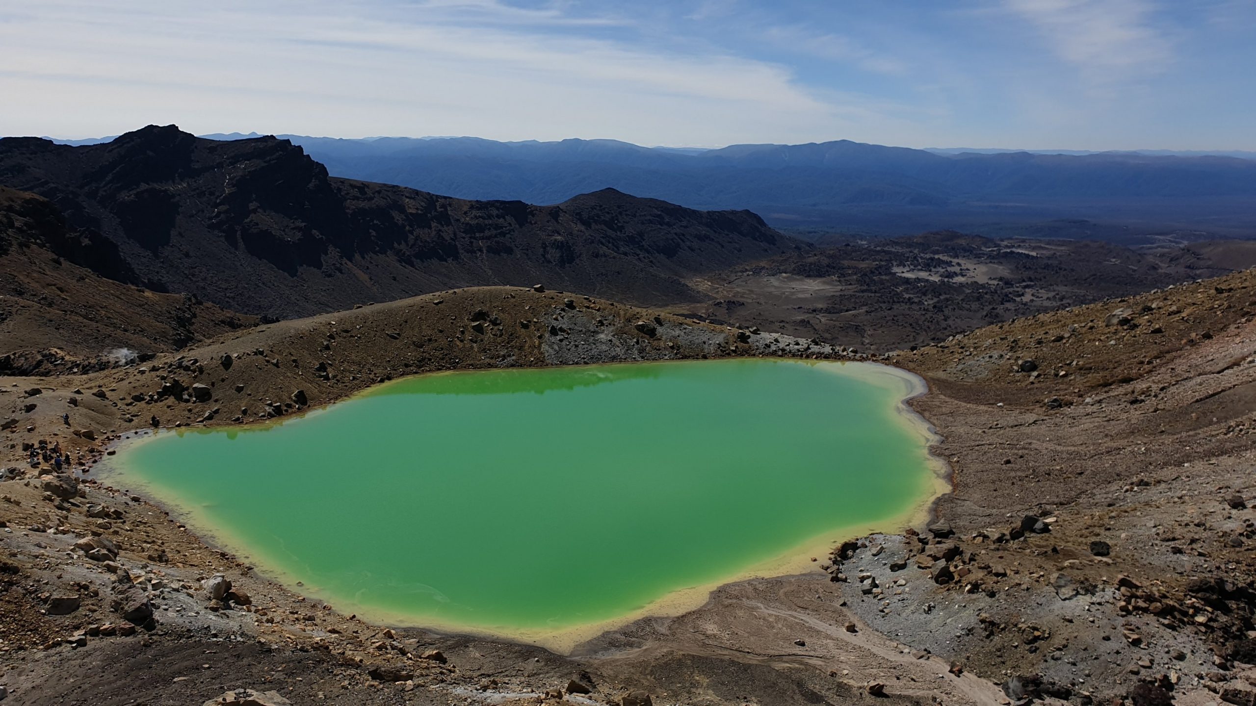
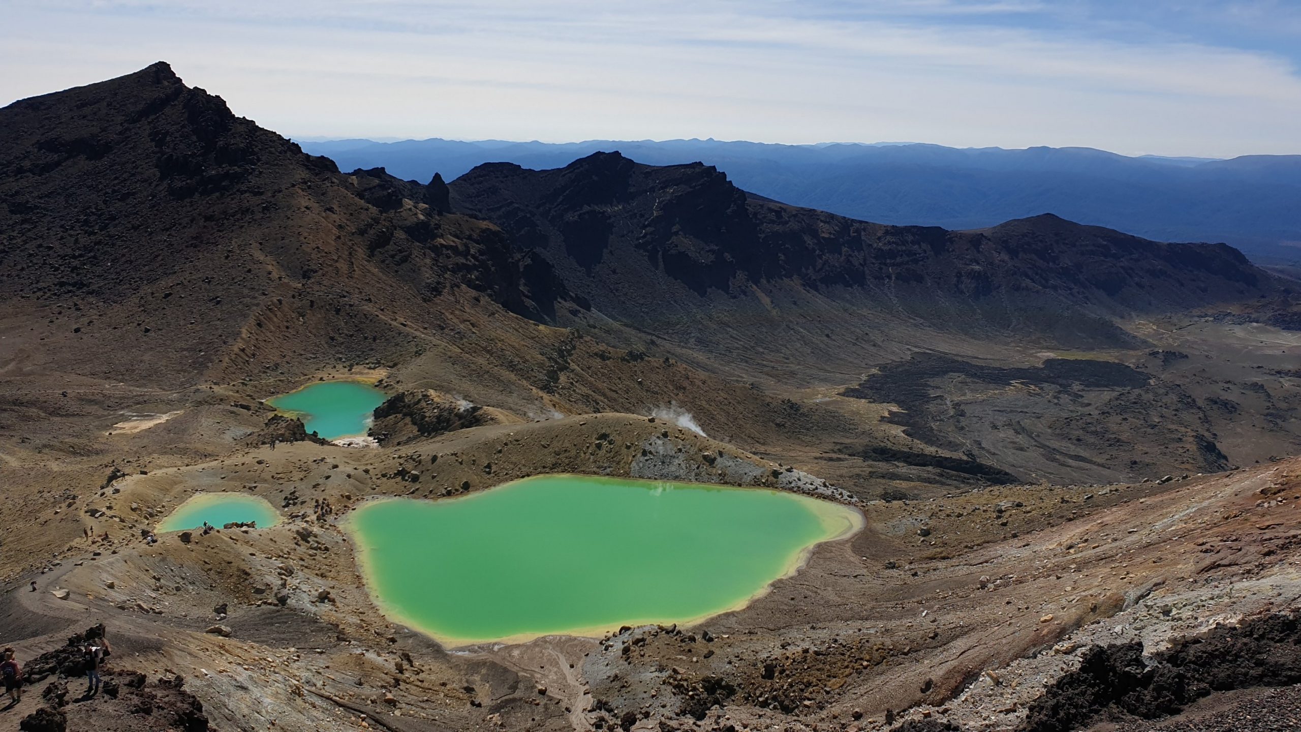
From here you pass the Blue Lake up close. Then a downhill 10km. Most are pretty easy as there are many zig zags and stairs; all luxuries for us!
The views of Lake Taupo and surrounding areas were spectacular! Especially with our clear day!!
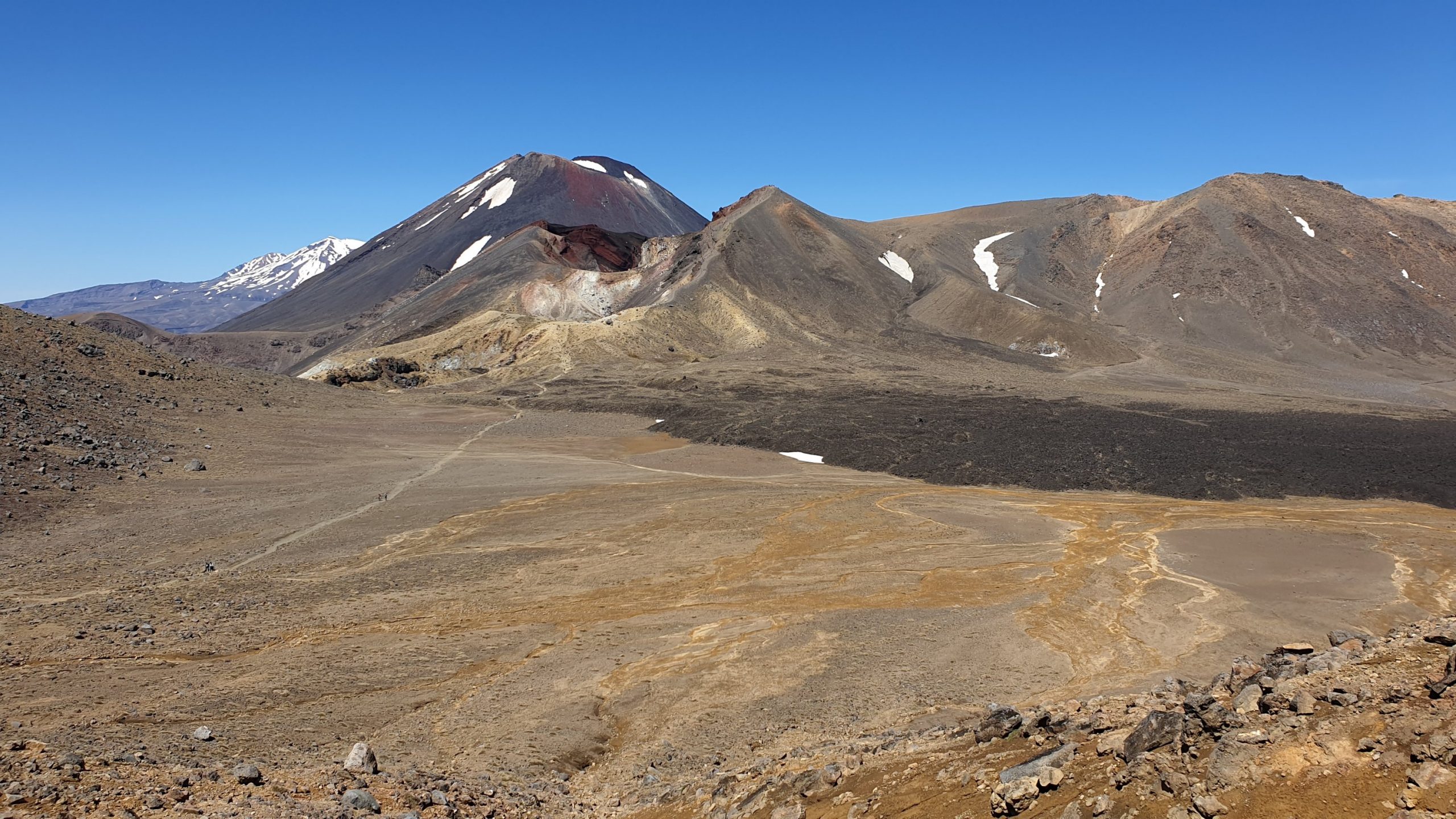
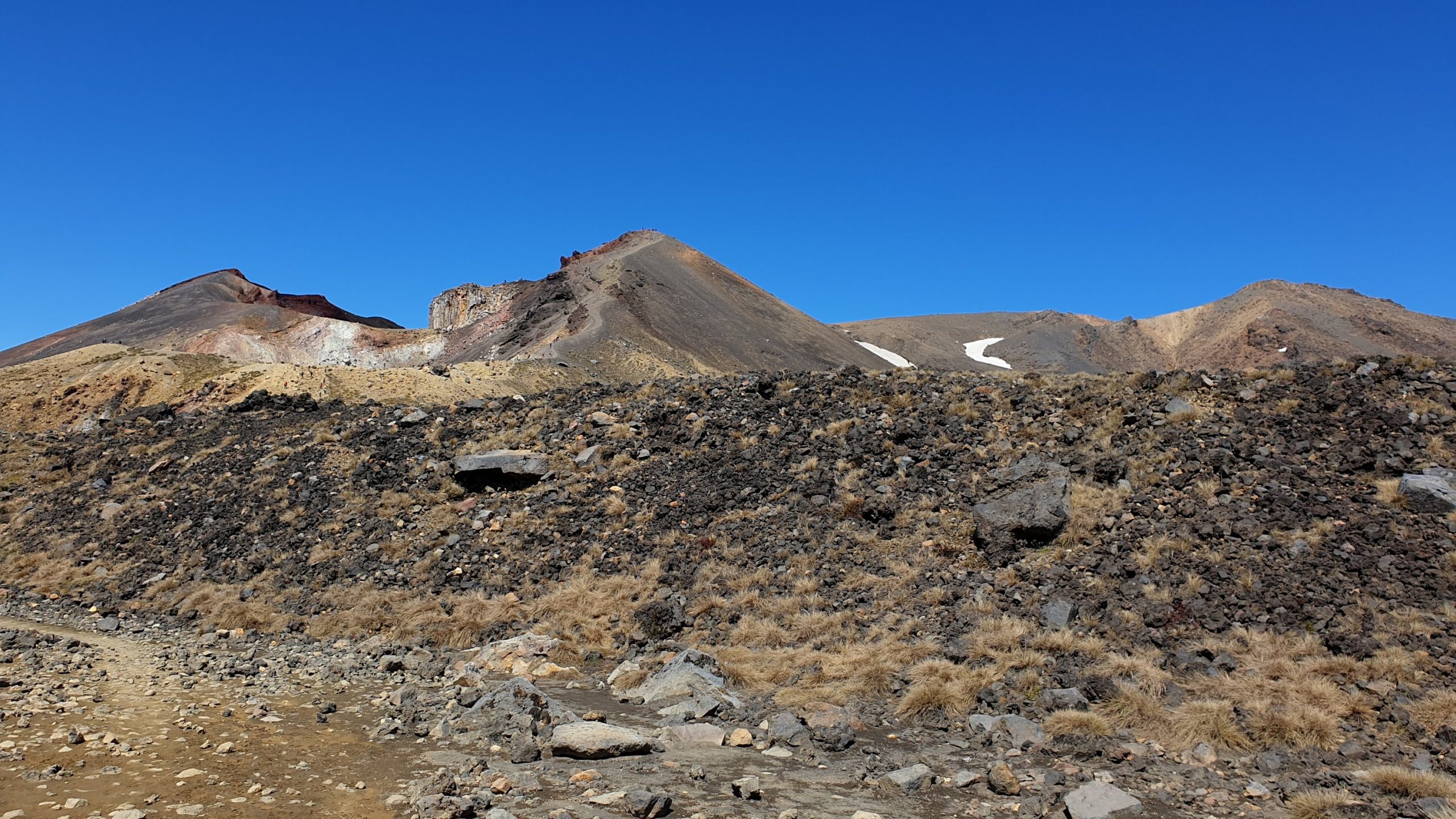
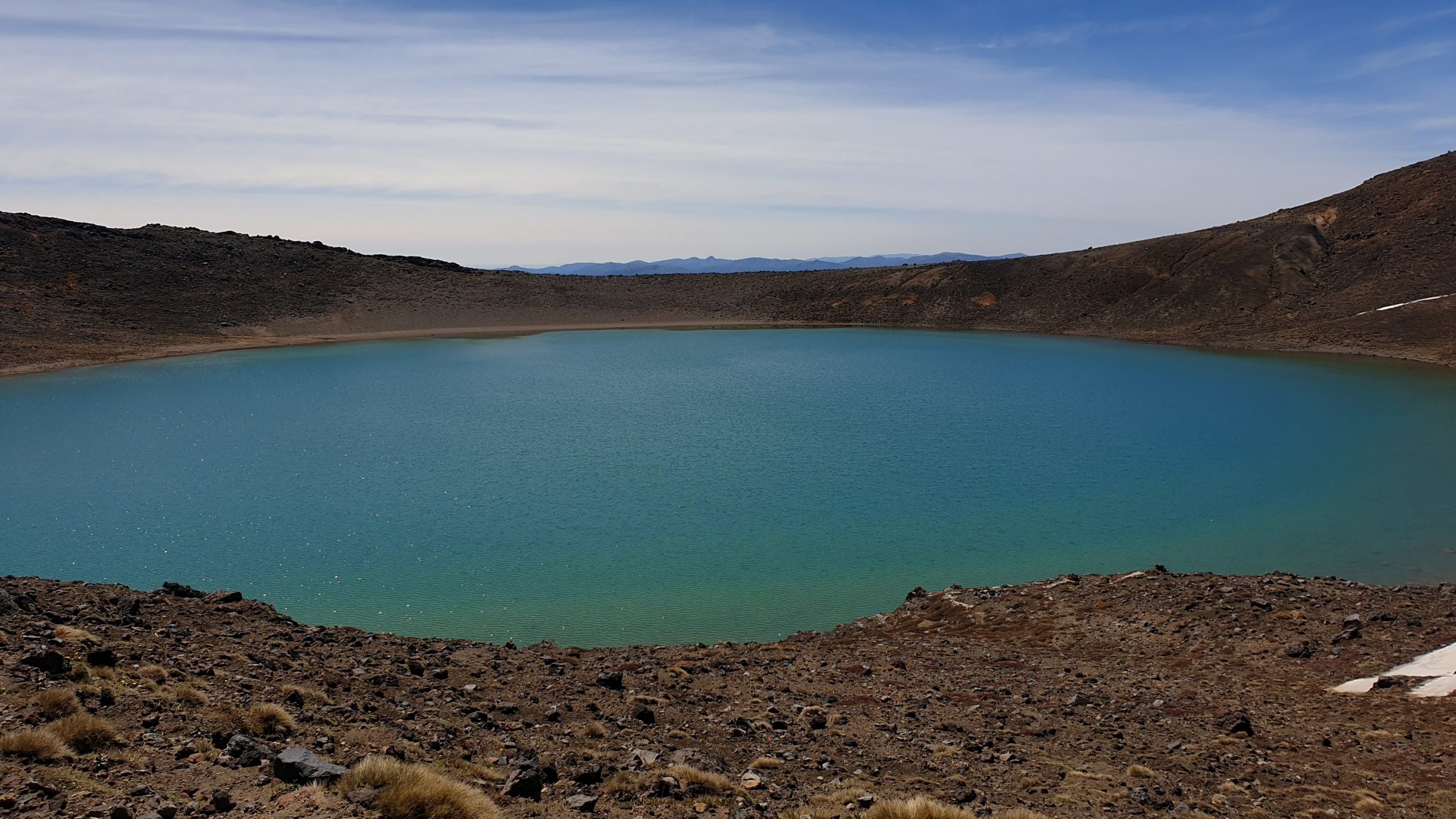
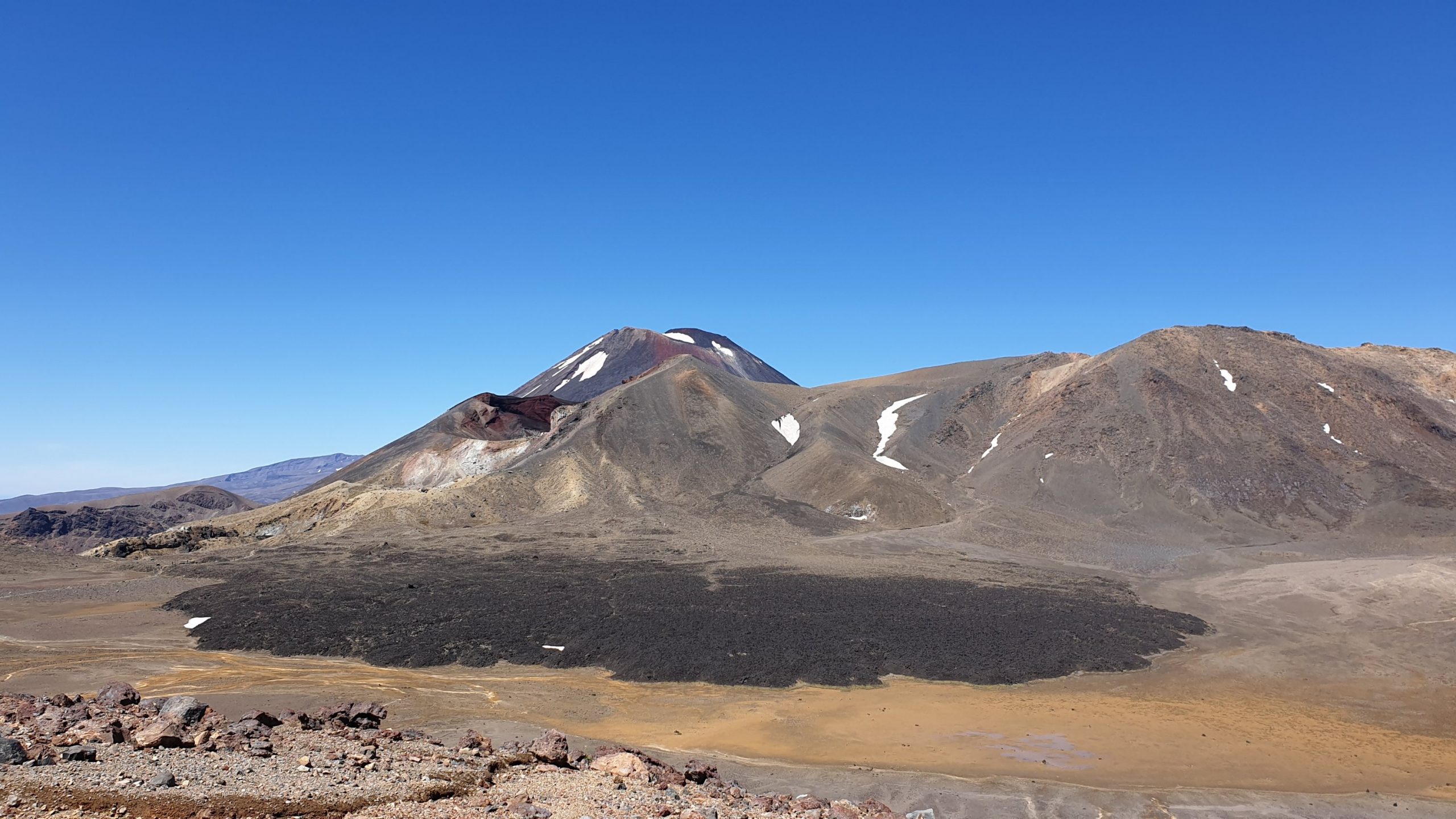
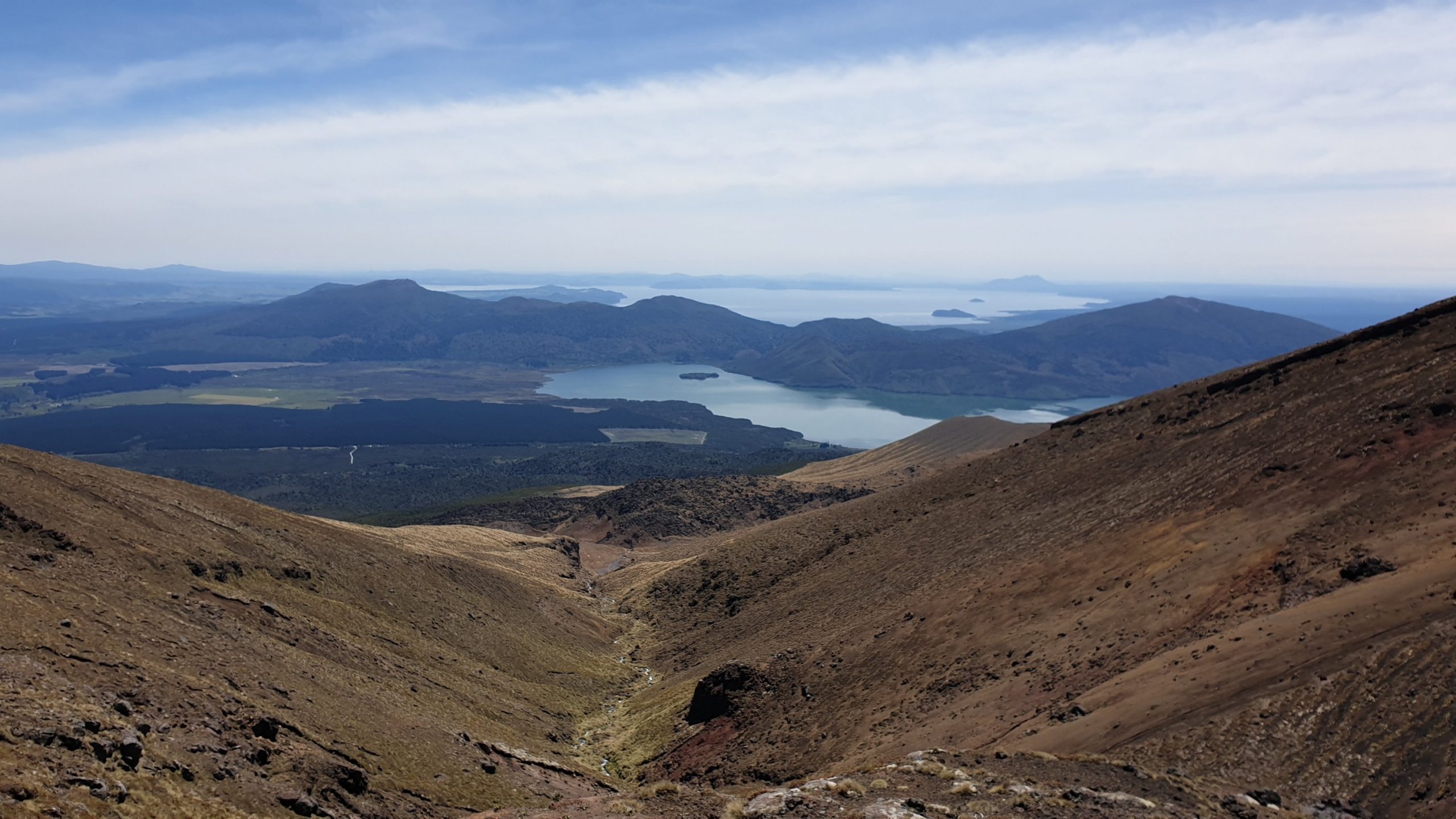
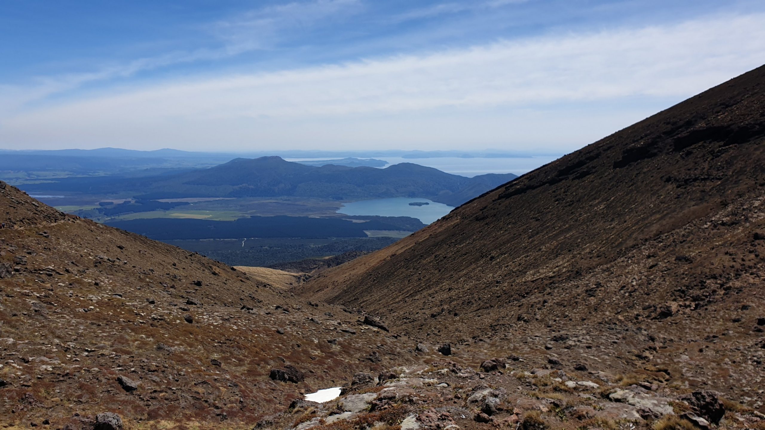
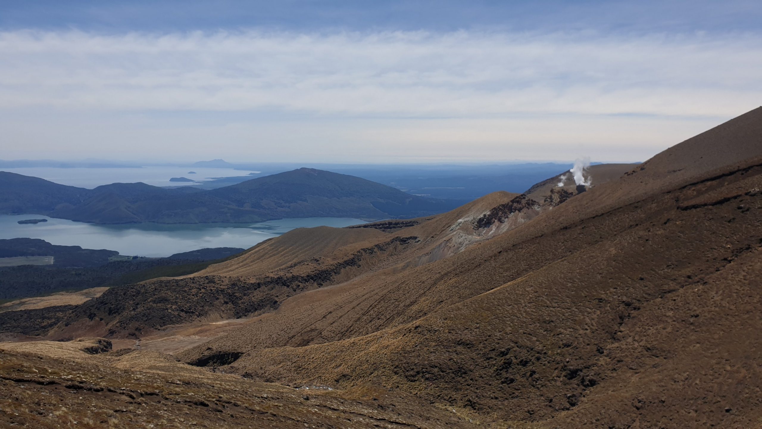
The hike descends through alpine low vegetation, through shrubs and the forests. We also pass through a previous lahar area.
Te Kuiti to Taumarunui
Day 46
Km 20
Cumulative Km 562
We had a good time at our Te Kuiti trail angel, Sue. Set off at about 07h30. We hit a nice forest track and crossed a bridge to come to an old farm track…and lo and behold about 8 young bulls too!
Now neither of us really knew how to act around them . Two came together in the road, stared at us and blocked the road. So we backed down a little and try to wait them out. A few minutes later 3 more came out from the bank and were a bit startled by our presence. We decided that talking calmly between one another was the way to go. Some 30mins later they eventually moved passed us, with a few trying to curiously sniff us. Luckily they were all in a good mood and we slowly made it up the hill and then sped right up when they were out of sight.
The track continued alongside a easy, wide forest track close to the river and was pleasant and we enjoyed the environment. We came across the last swing bridge and crossed the river to a sign that stated “ Te Araoa 15km, 5 hours “. Though this seemed long for a nice track along the river we continued and had a break by the river.
It then all turned bad, the track started to cling to the side of the river valley, was muddy and loads of places, not shallow either but deep dark mud. The trail also consisted of steep short and slippery ups and down scrambles.
So much for a nice walk by the river! On the narrow pathway, which was very sketchy and much more a goat track than a trail, my left leg slipped down the hill a little and I slight strained my knee in the process too. I was getting very irritable due to the track difficulty mixed with my continued lack of sleep.
I was just not a happy camper! Part of the trail also included a 130m steep ramble up sheep grazing slopes and back down to the river.
I then came to a divergence in the track , one along the river and one scrambling uphill. As Moritz was ahead of me I assumed he would have taken the one along the river. I eventually caught up to him when he took a break and said that I was concerned as there have not been orange trail markers for quiet a while. We continued for a little while longer but it seemed that the track petered out. So we went back to the intersection, clambered up hill and found the next marker there. We still had a few hours to go along the pine and eucalyptus forest track as farm roads.
We eventually got into camp just after 5pm! Really spent after such a long and hard day!
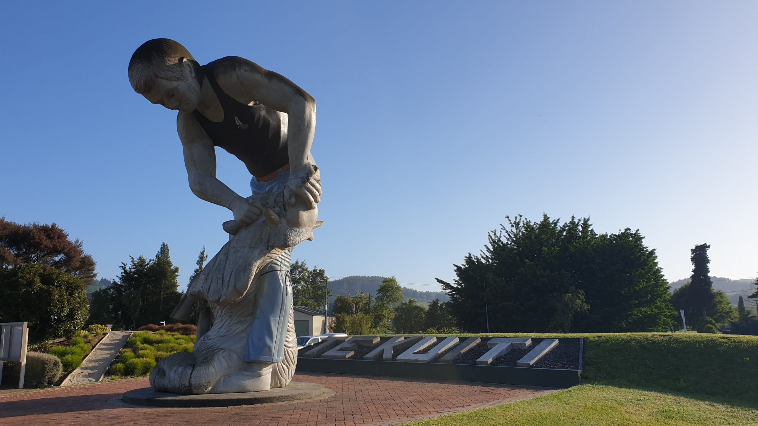
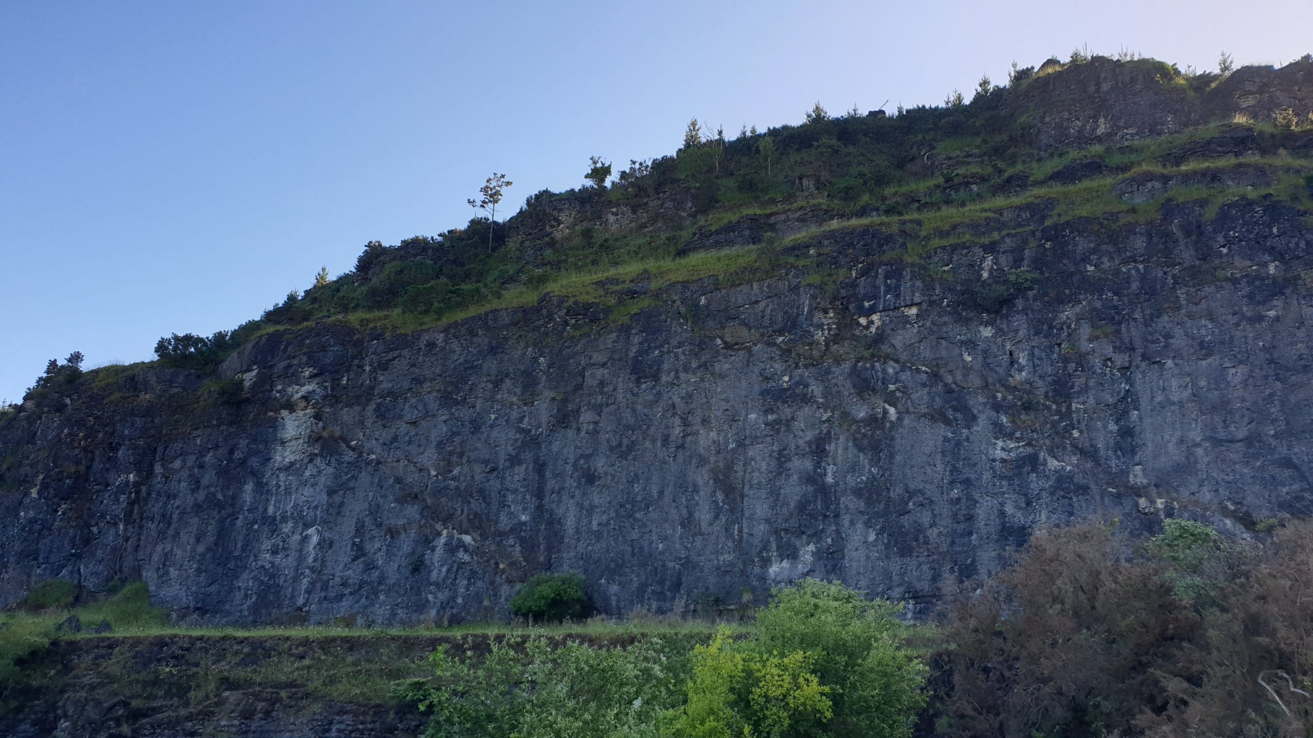
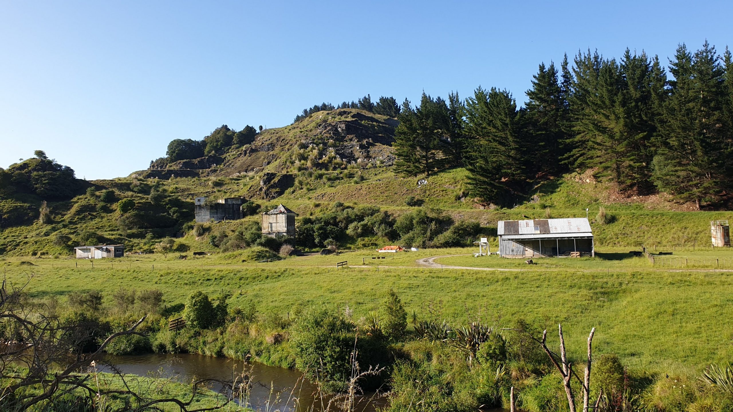
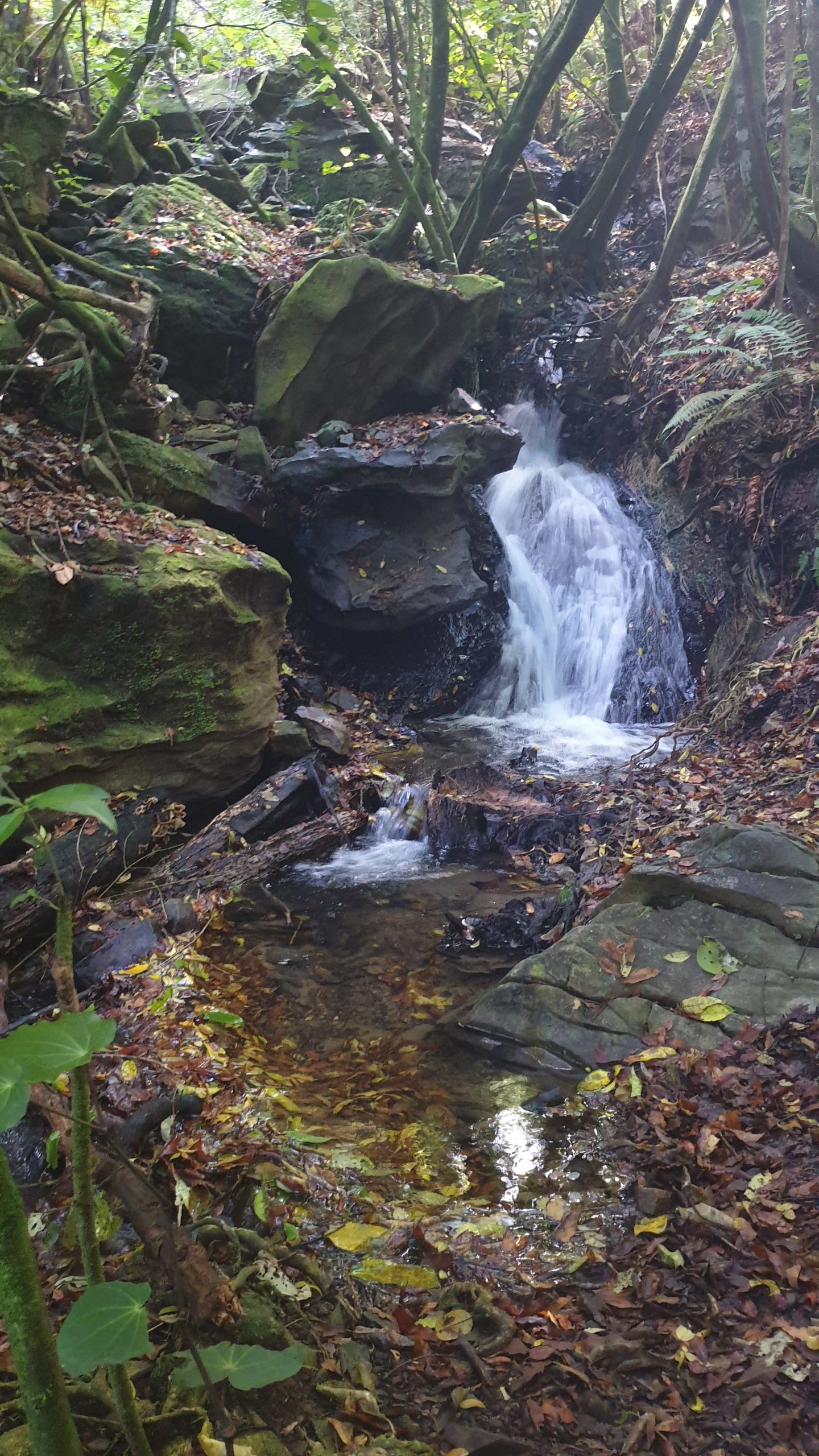
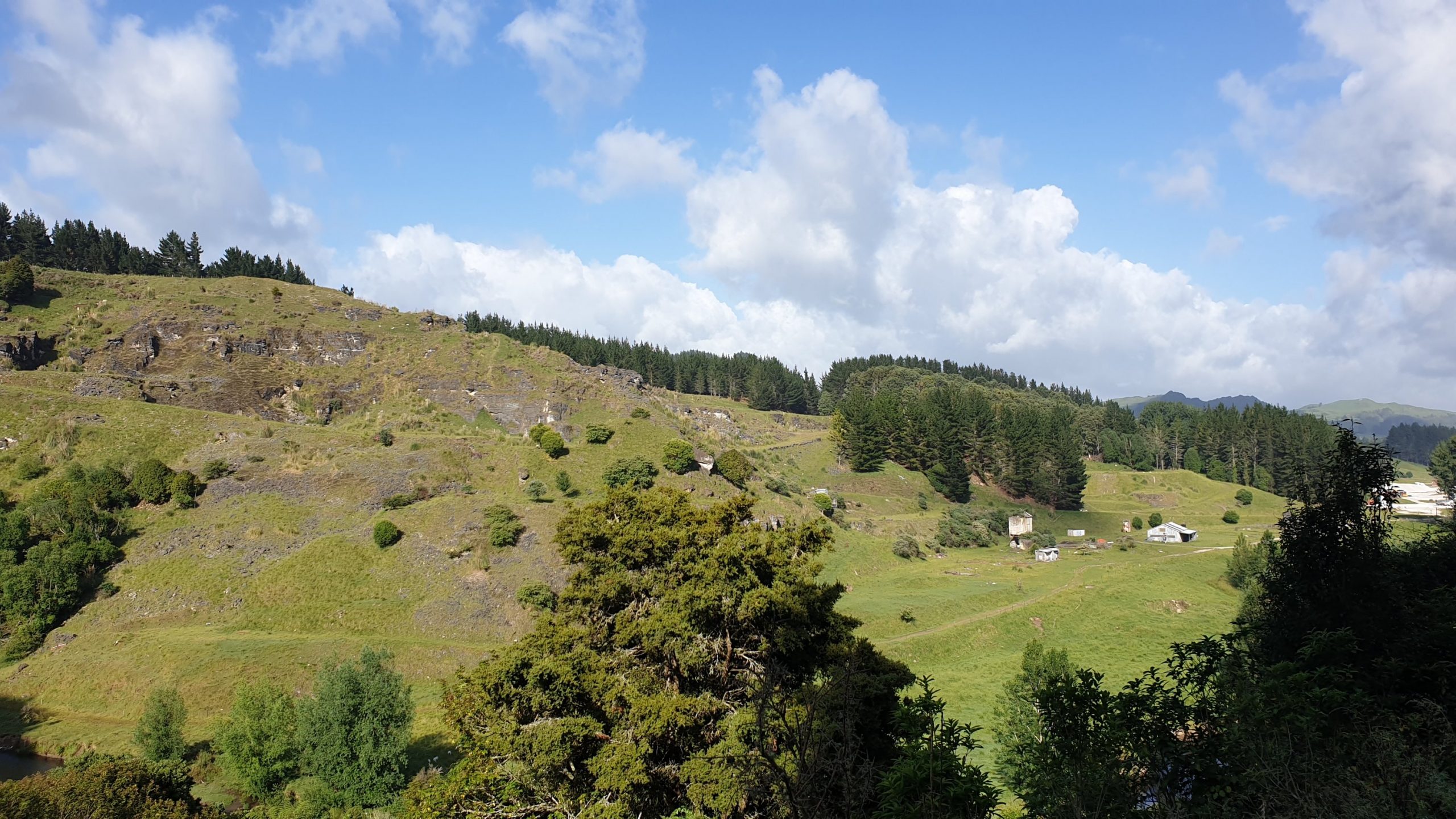
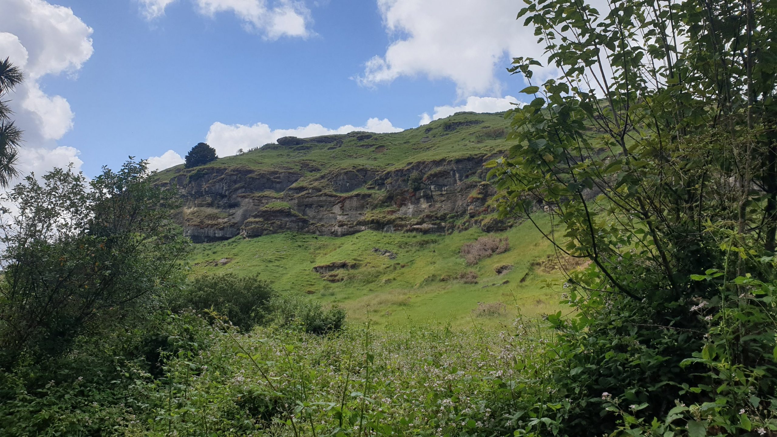
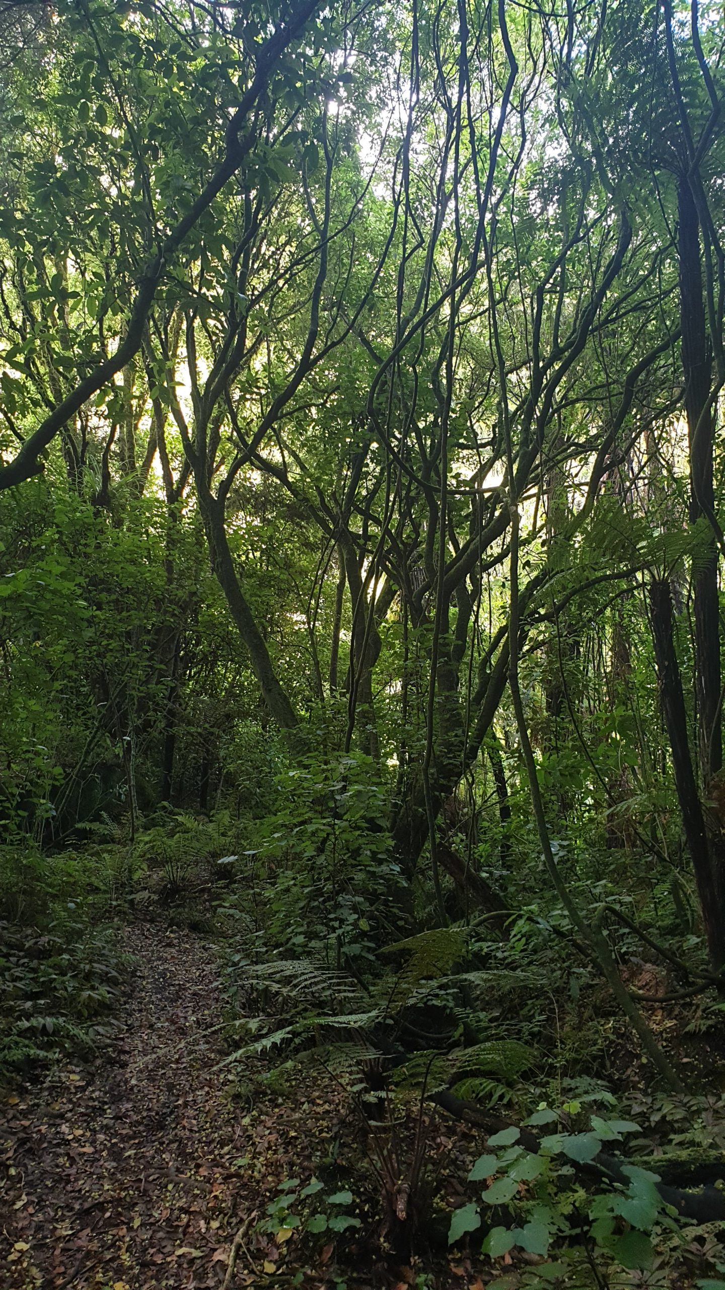
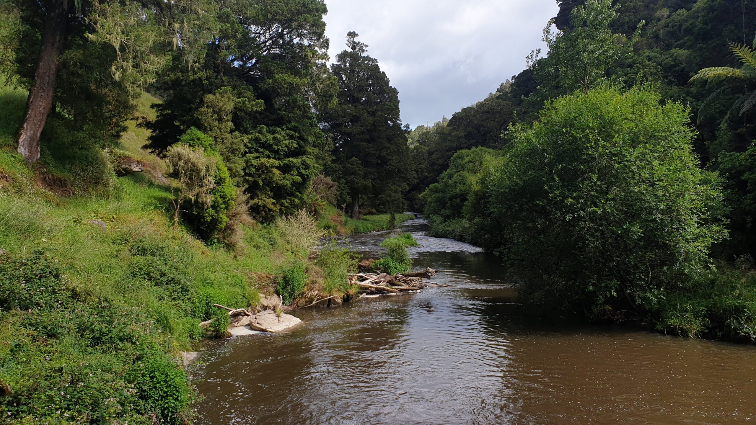
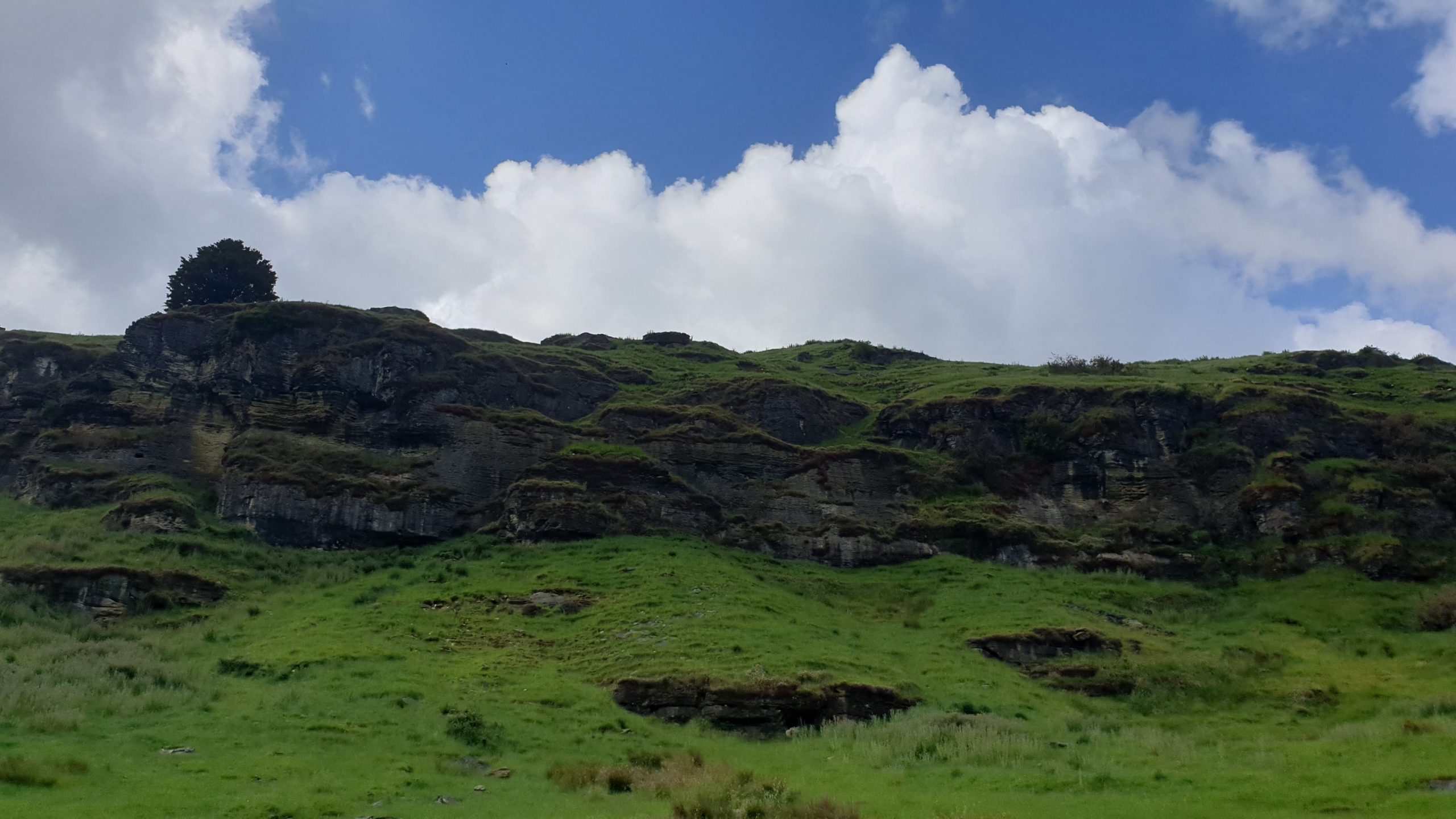
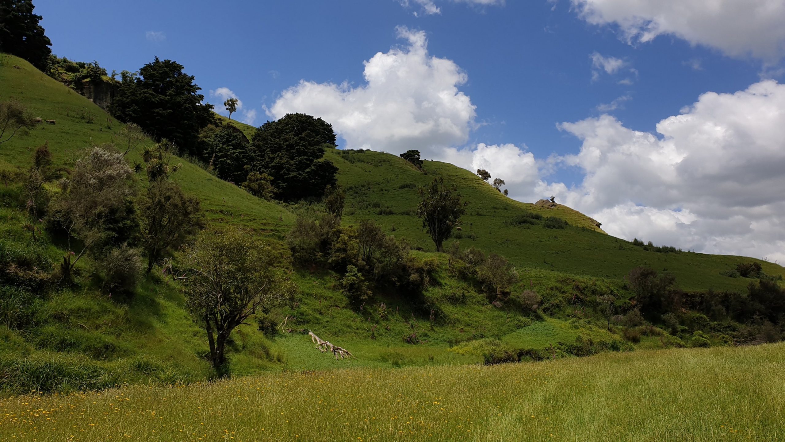
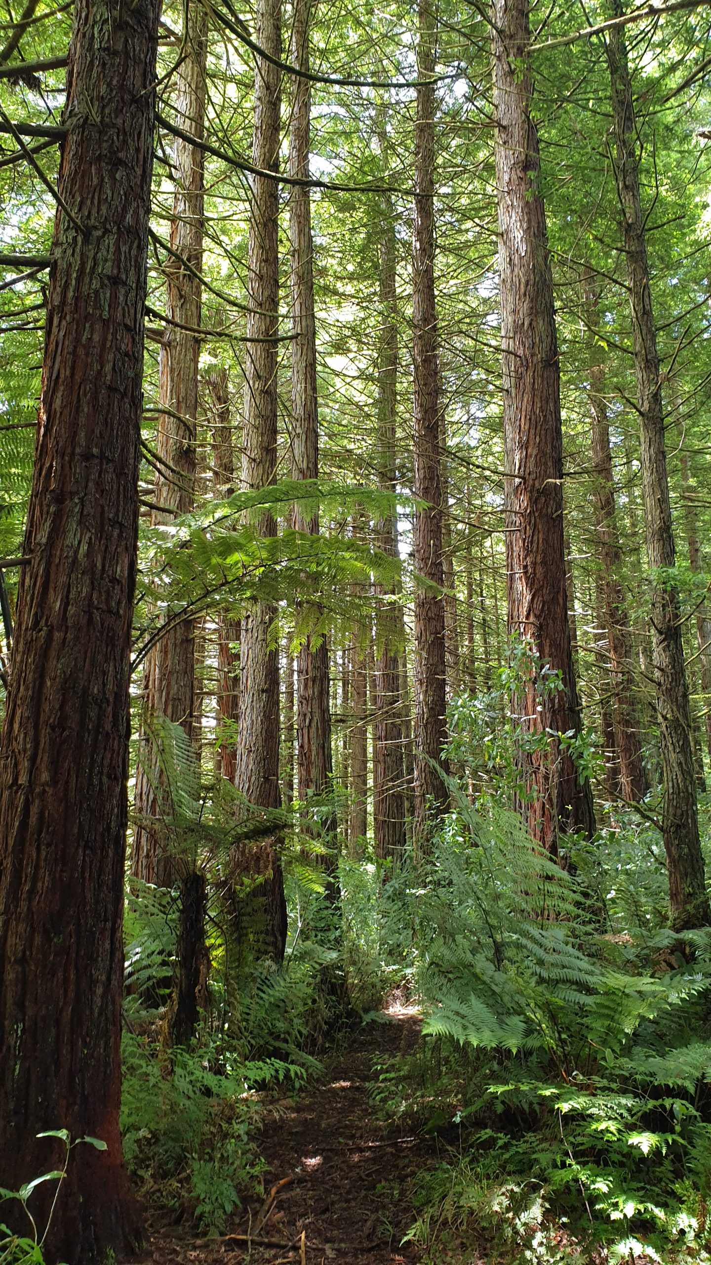
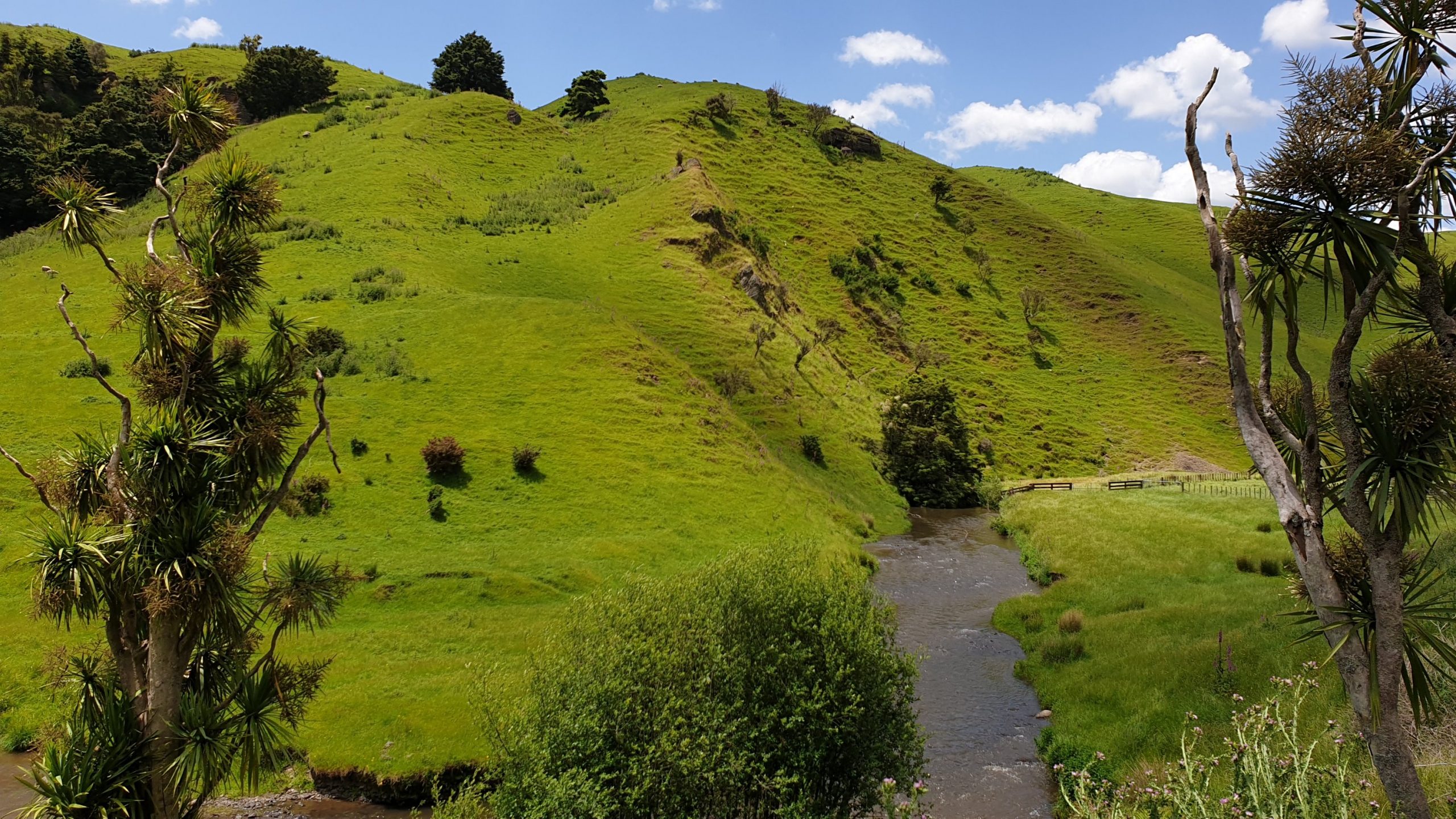
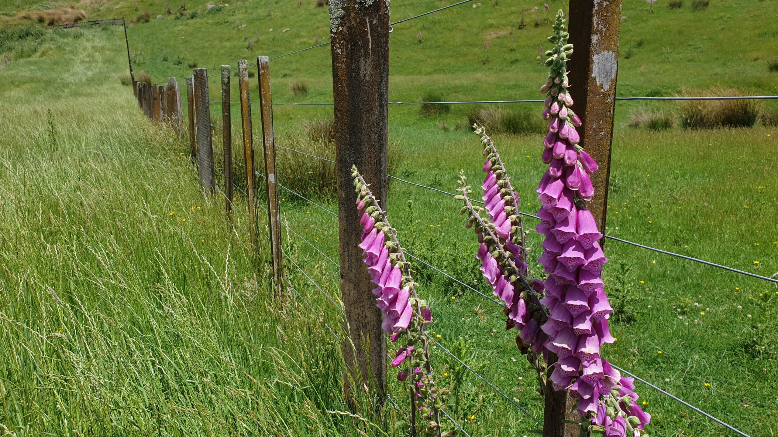
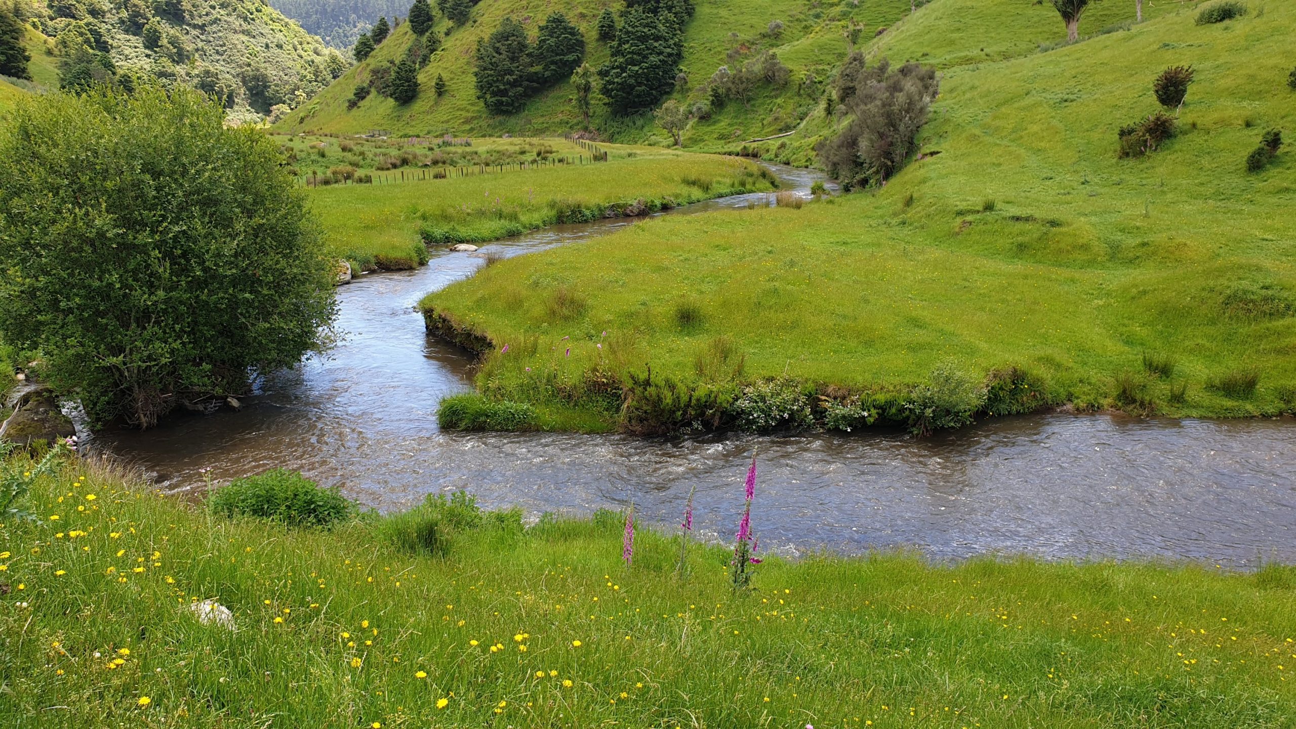
Day 47
Km 16
Cumulative Km 578
Today the planned distance was 36km of dirt and tar road walking. From the beginning I wanted to hitch most of it but Moritz wanted to walk until SH30. So that’s what we did, though it was really boring and at around midday we figured we would try hitch off the dirt road, which should be easier than the highway. First car, thumbs out and the guy stopped and asked if we wanted a ride to the campsite, clearly he had picked up several hikers. He worked the logging operations in the area and had a breakdown.
It was a longish hitch and we chatted a fair bit. Getting to the campsite early meant being able to do some washing. Especially good for the mud off my pants!
We stayed at Pureora Campsite for the night.
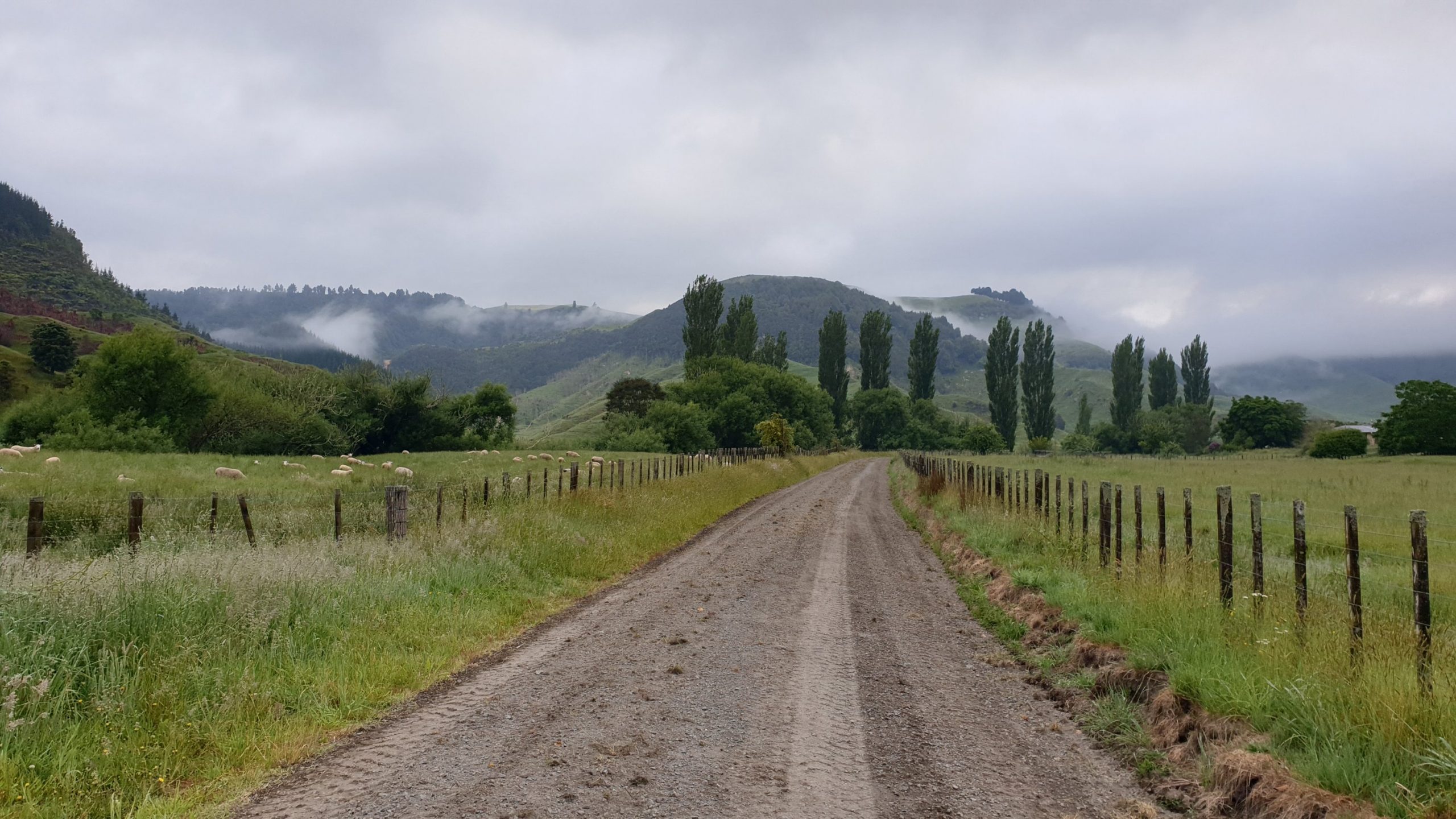
Day 48
Km 22
Cumulative Km 600
Today we started the Timber Trail. It’s a shared mountain biking/ hiking trail and thus is at a easy gradient and is nice and wide!! So exciting to be on a trail where you can enjoy the forest surroundings! We passed some really awesome tall trees.
About 12km into the trail we diverted up the Toi-Toi track, leading up to Pureora Summit. I was hoping to get views and Ruapehu and Tongariro as it was a clear day, but too hazy further in the distance. We also got a view of Lake Taupo.
The trail down is no longer maintained by DOC. Though it’s not worse than many trails we have been on. There were a fair few boggy sections on the way down, and then we joined the Timber Trail again.
Our hut for the night is a little off trail. It’s called the BOG Inn Hut and is one of the older huts in NZ. It was built in 1960. It has sleep space for 4 , a wood stove, washing up area and toilet.
The guys who named the hut had a sense of humour and must have referred to some of the boggy areas you need to pass to get here. With a sign at the diversion: 1.6km, 30 minutes and then half way 800m, 30 minutes???
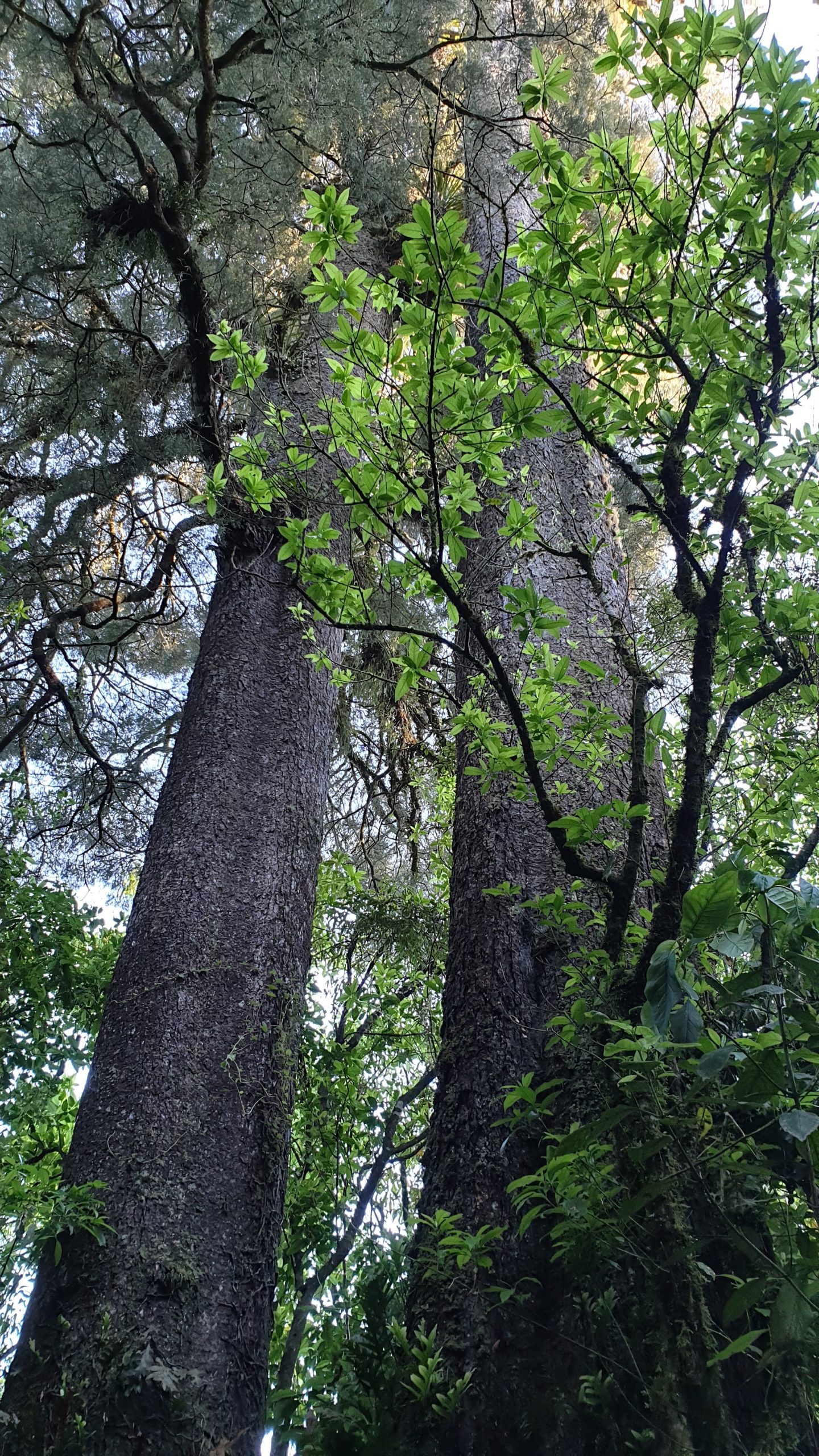
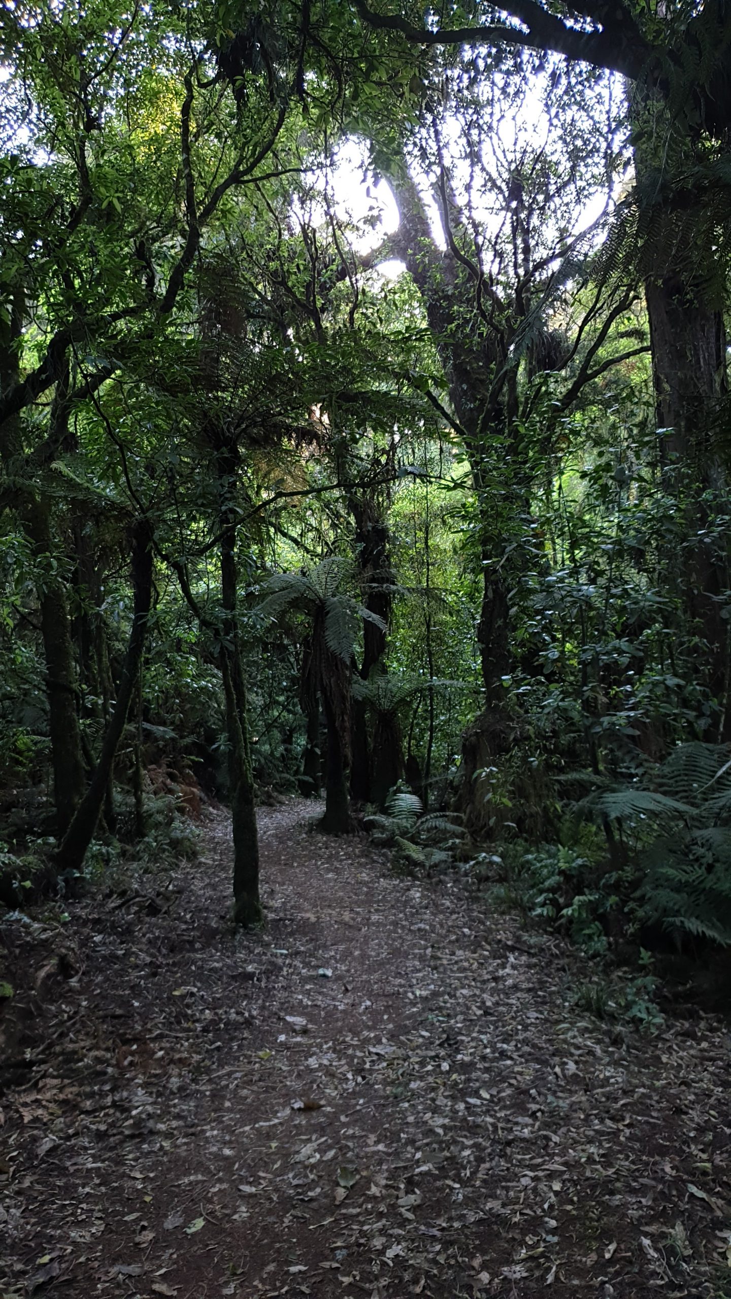
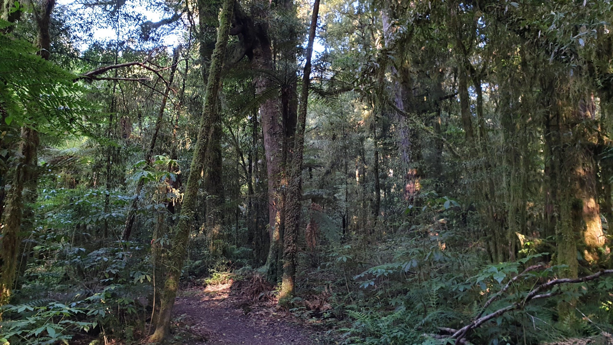
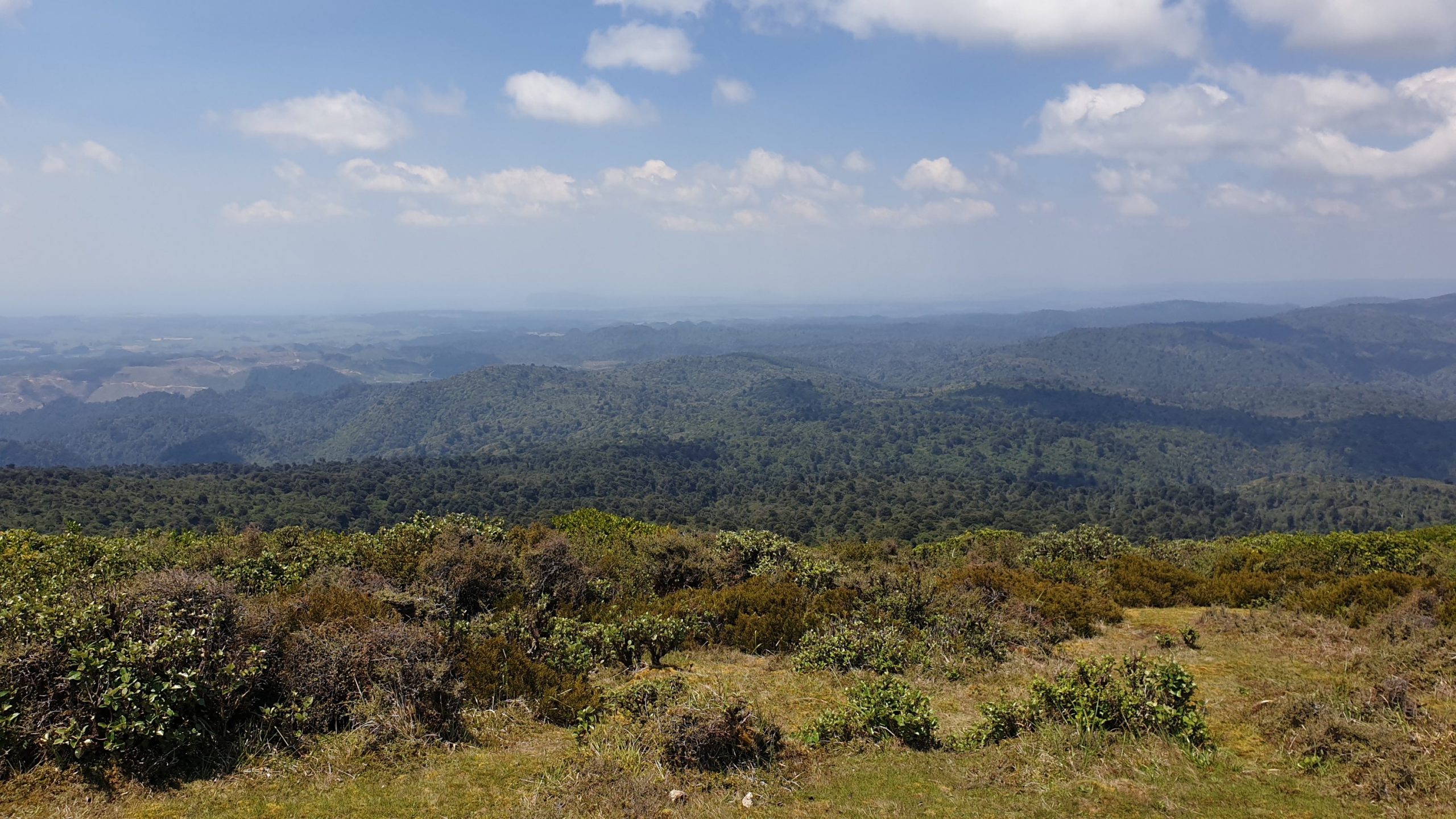
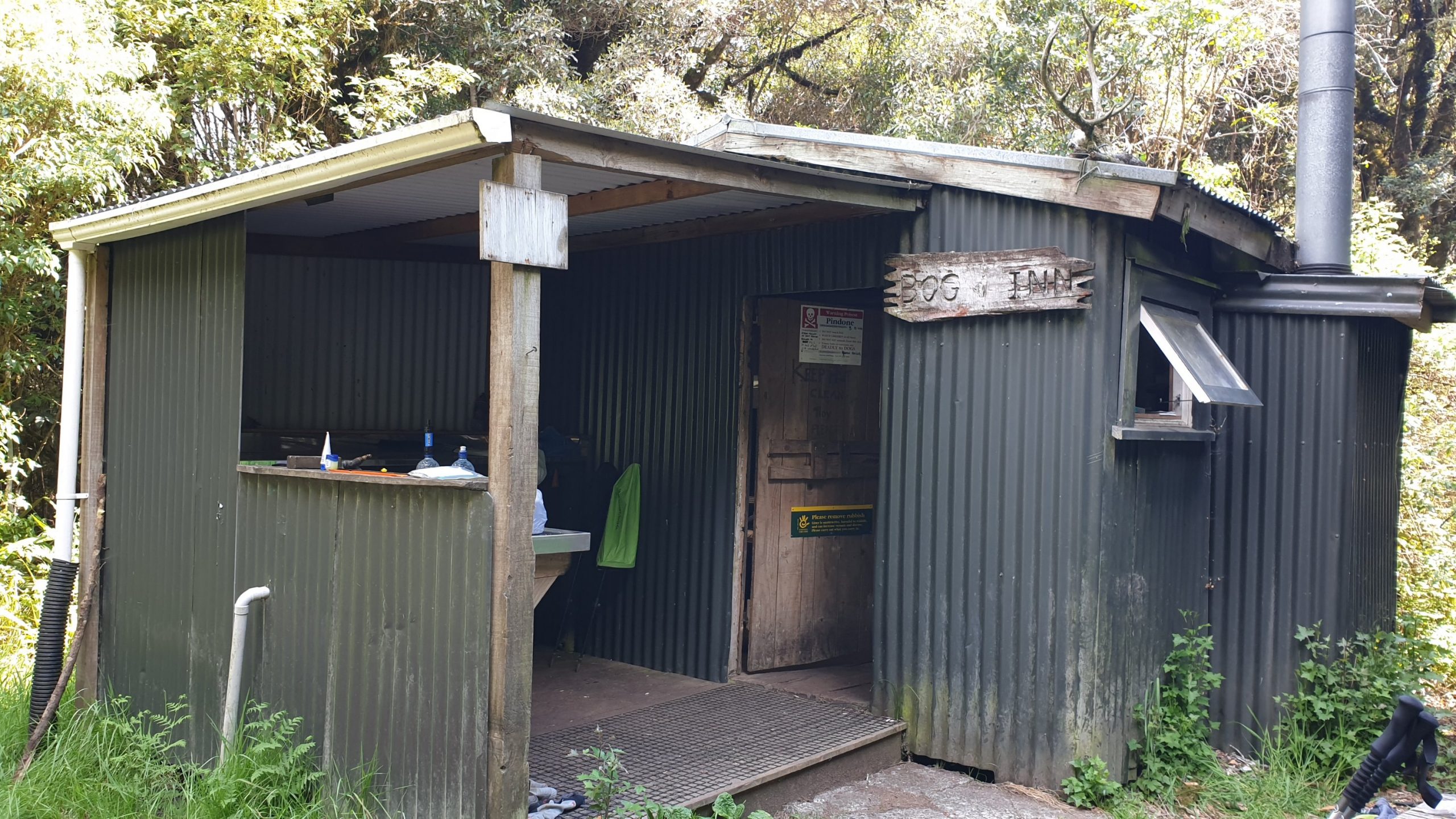
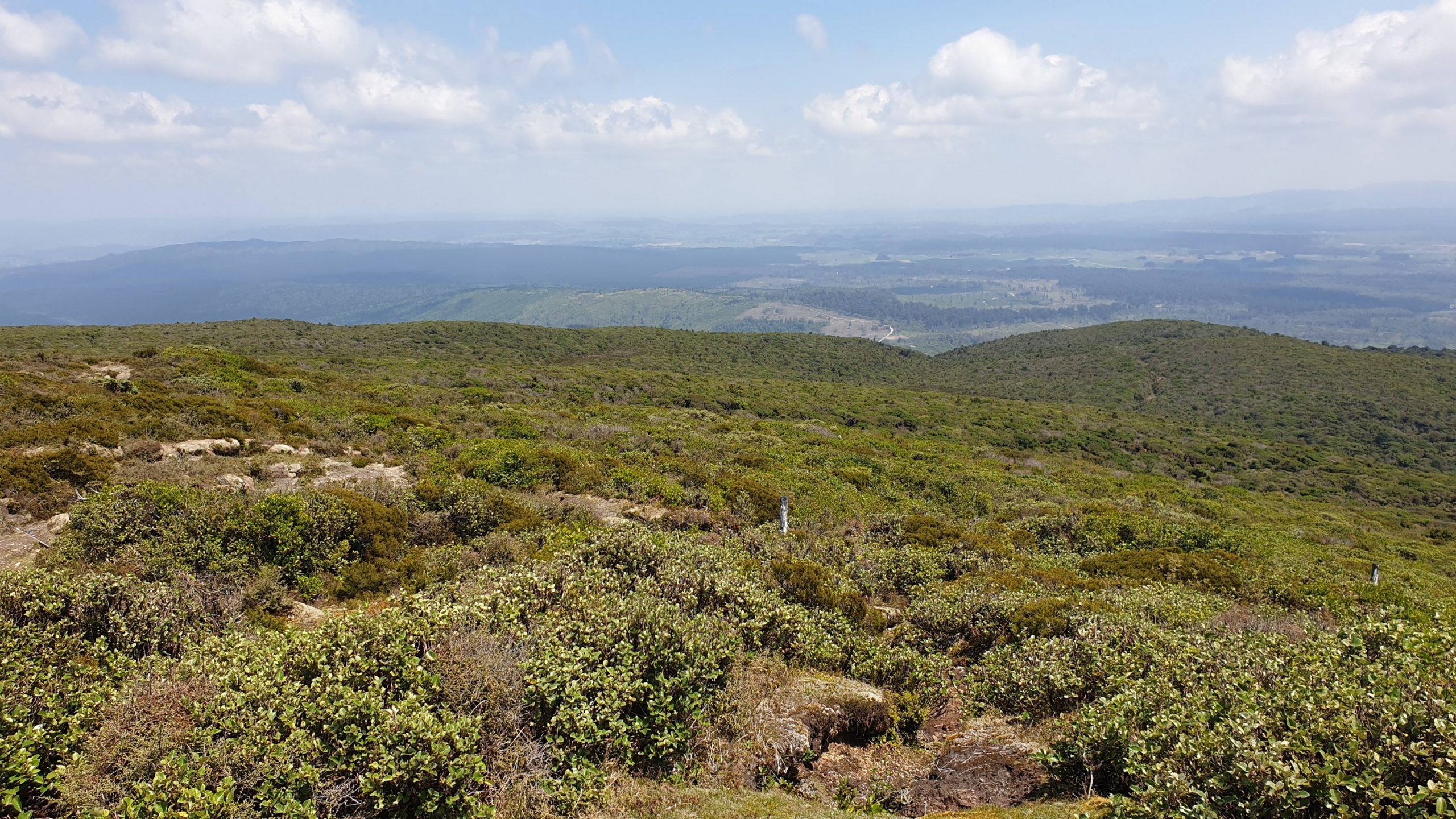
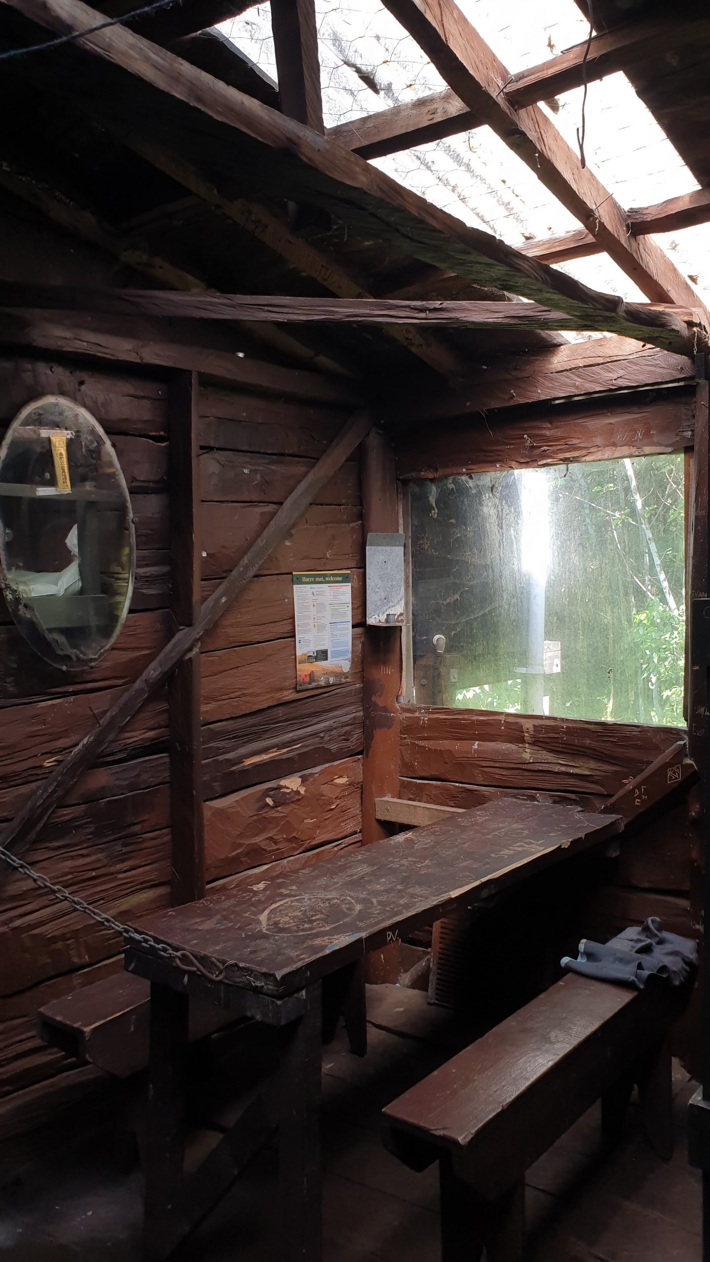
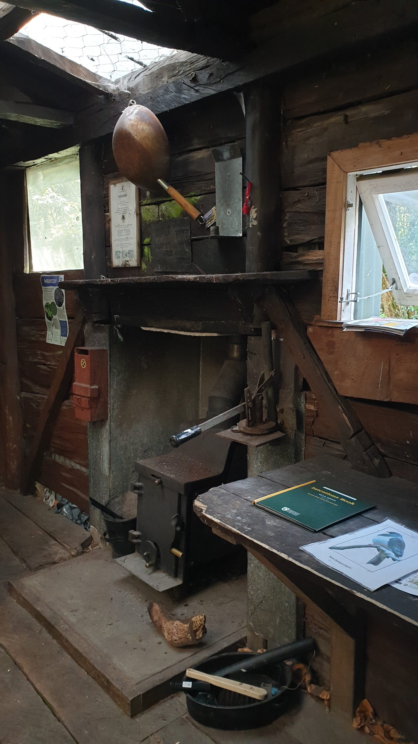
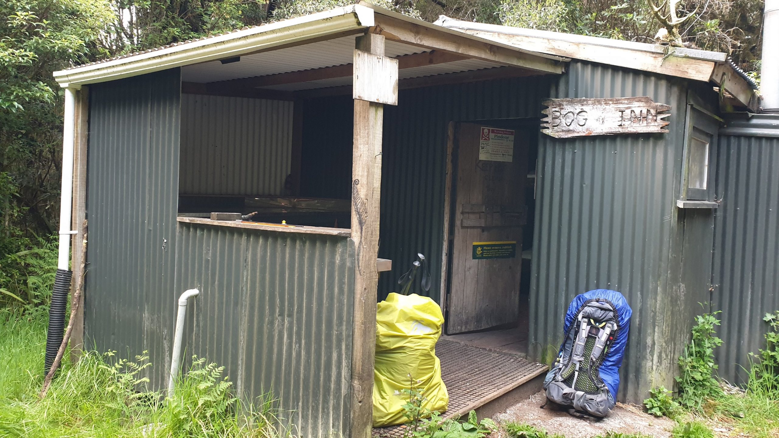
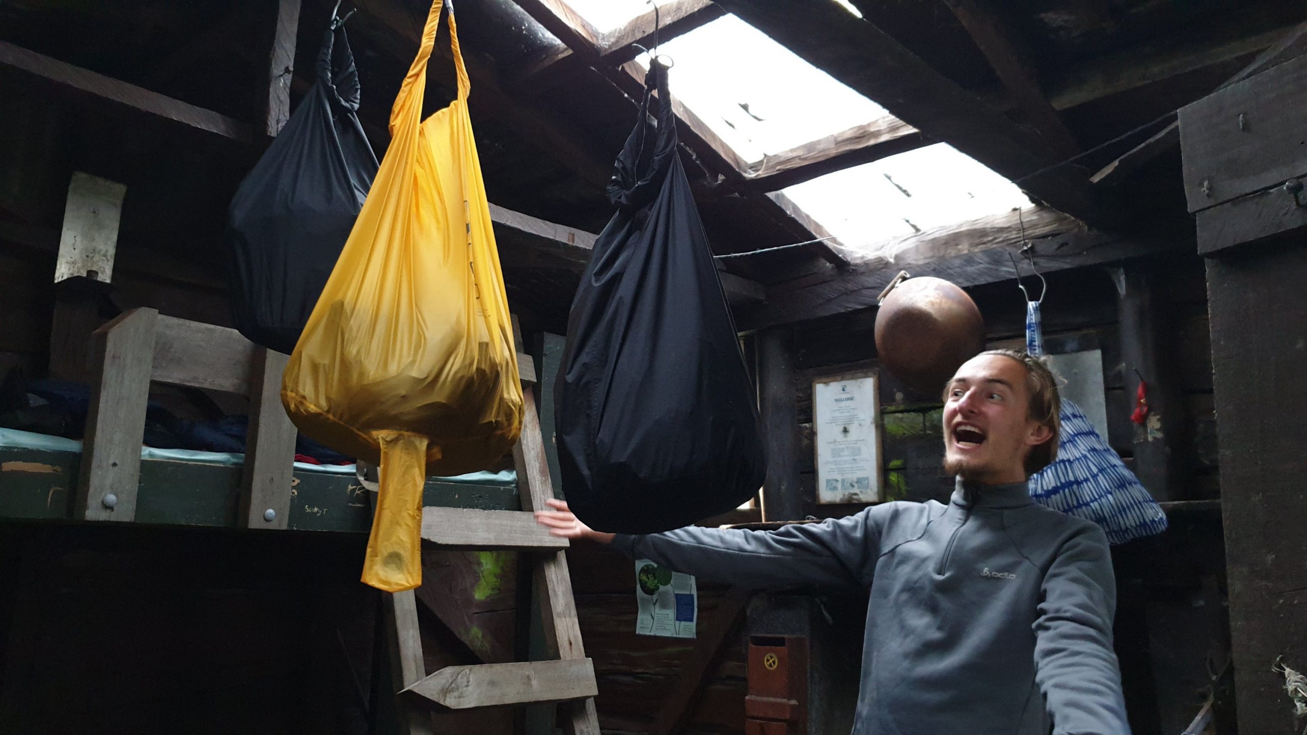
Day 49
Km 22
Cumulative Km 622
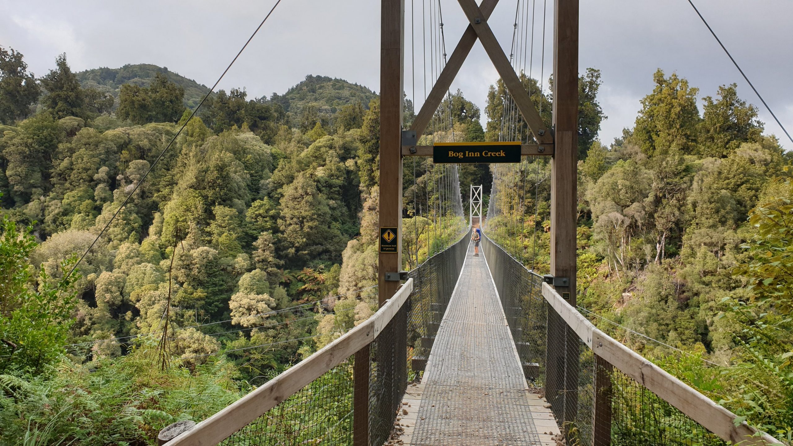
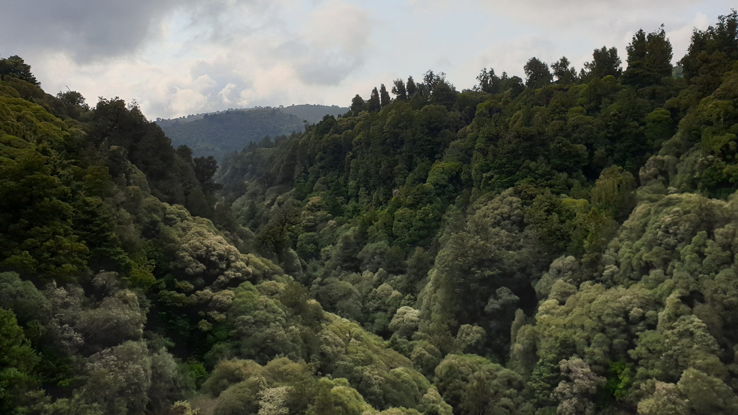
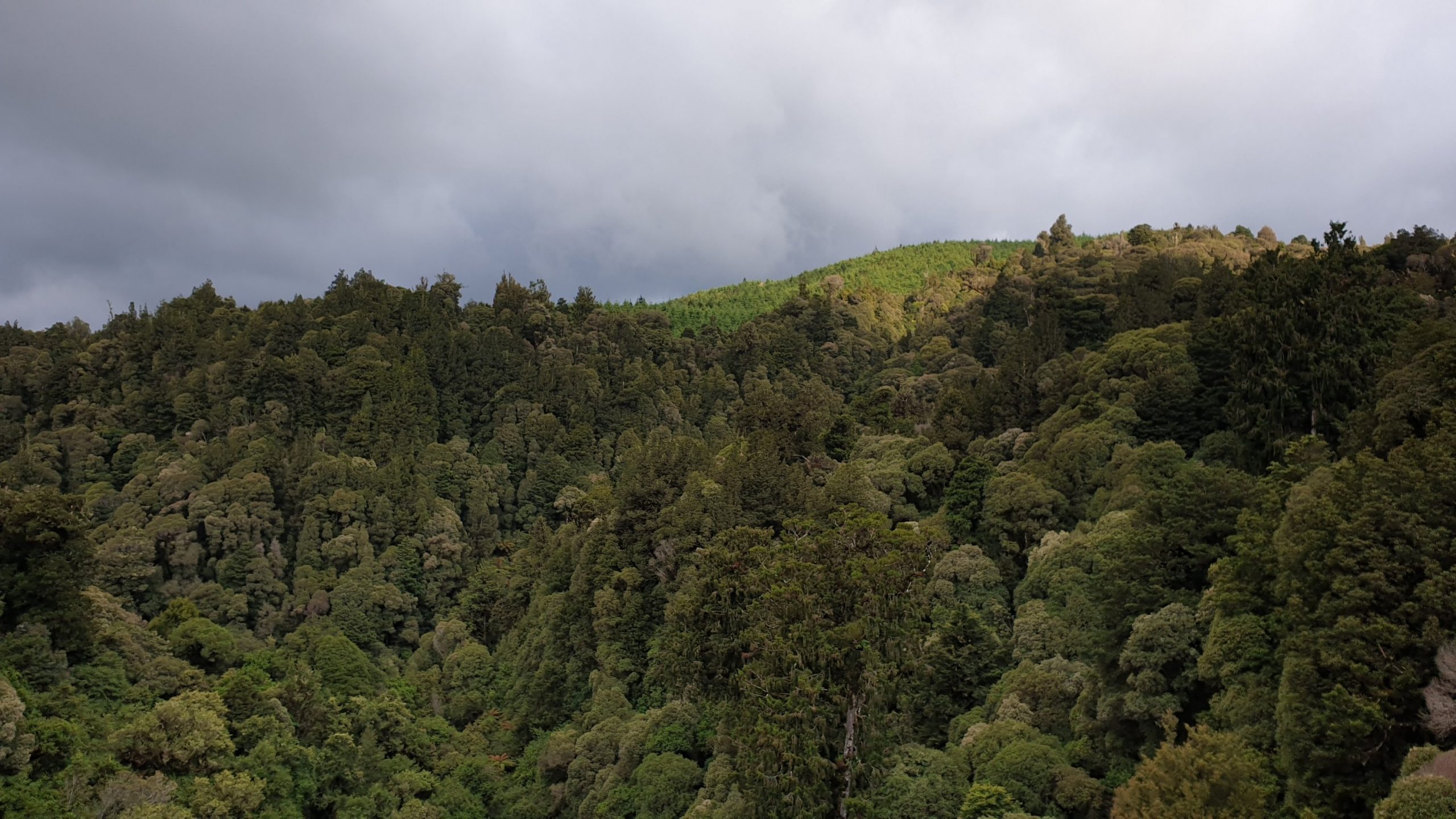
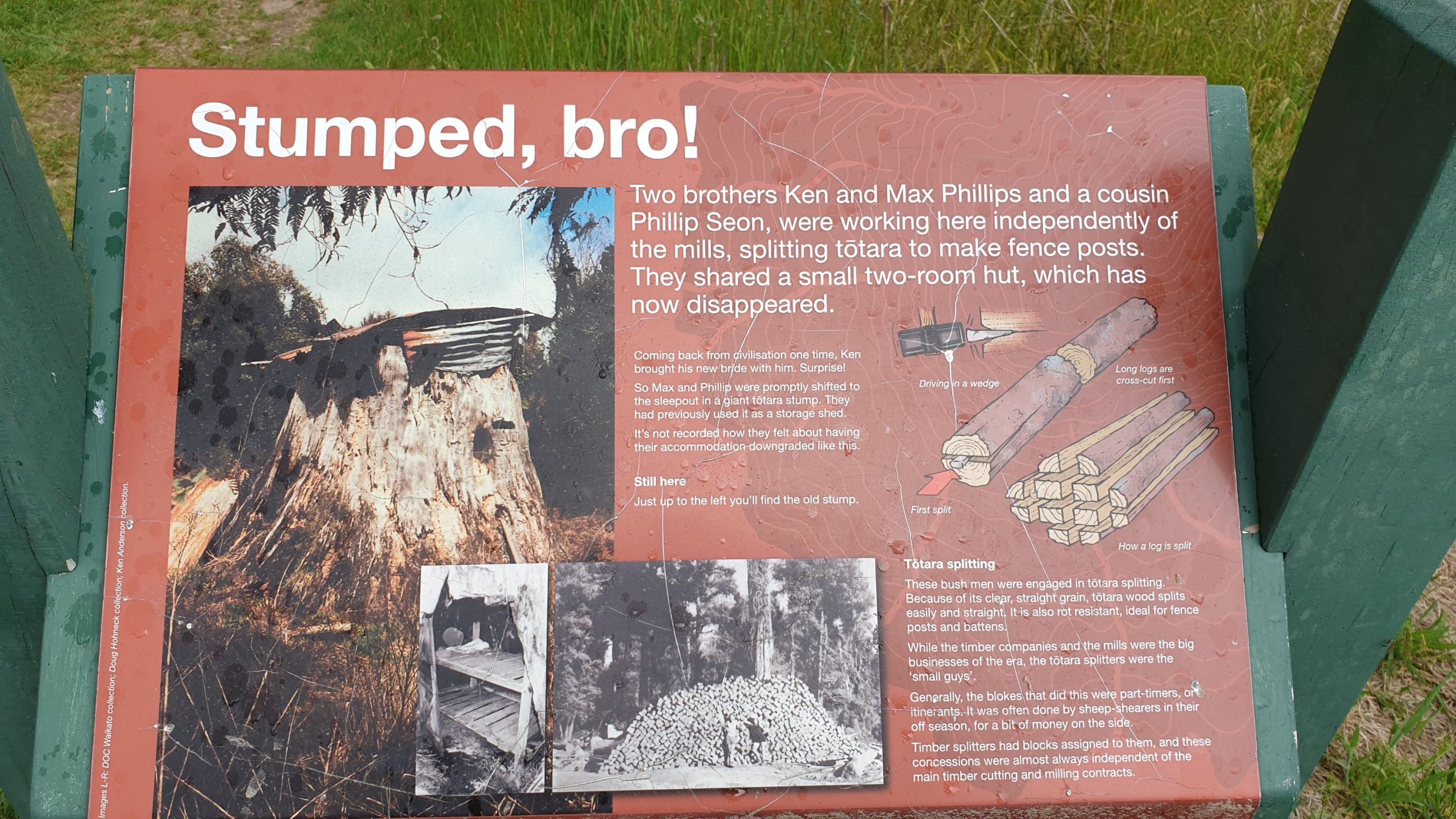
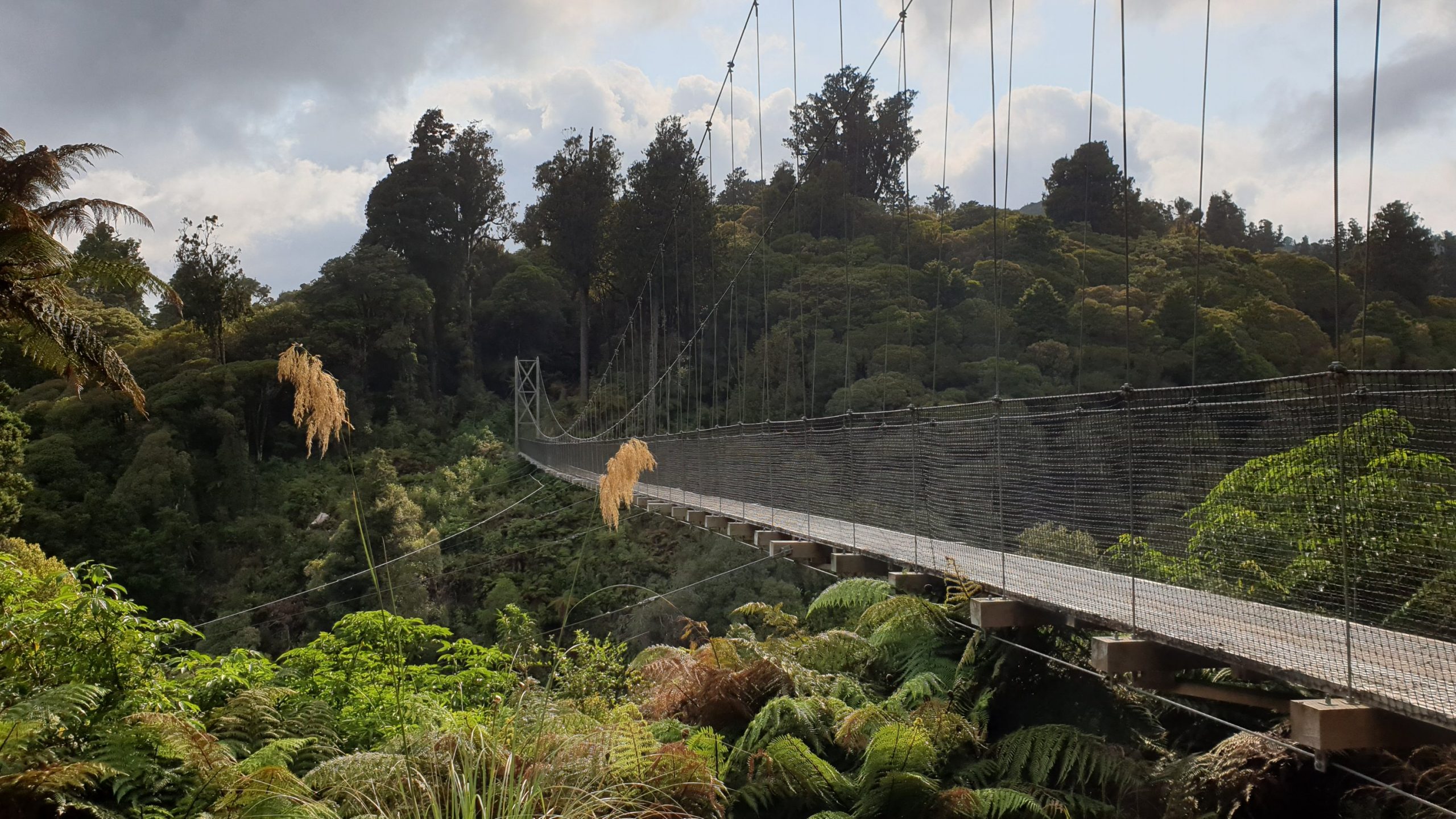
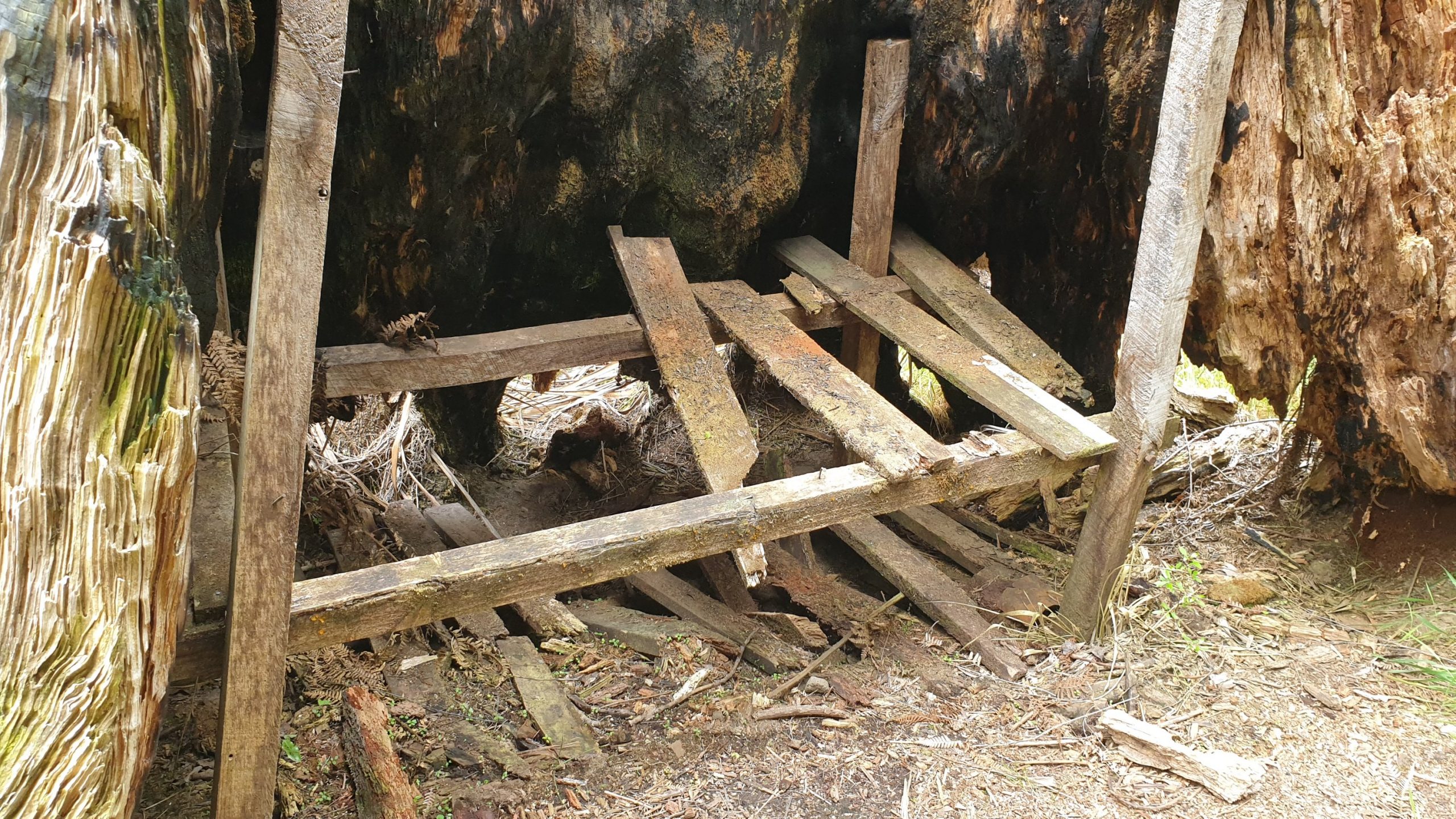
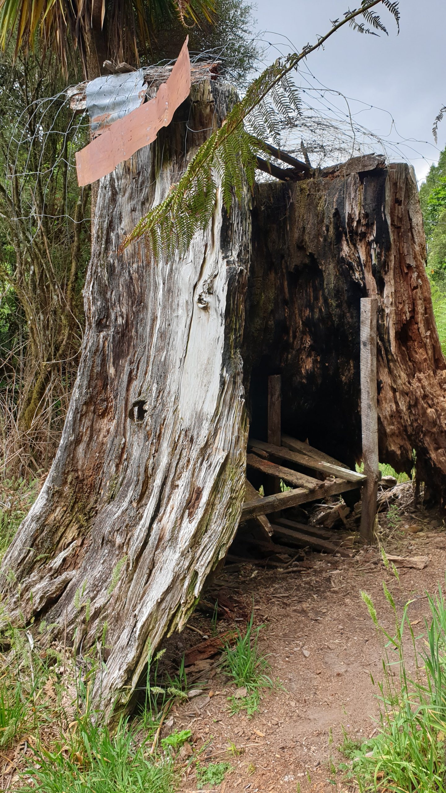
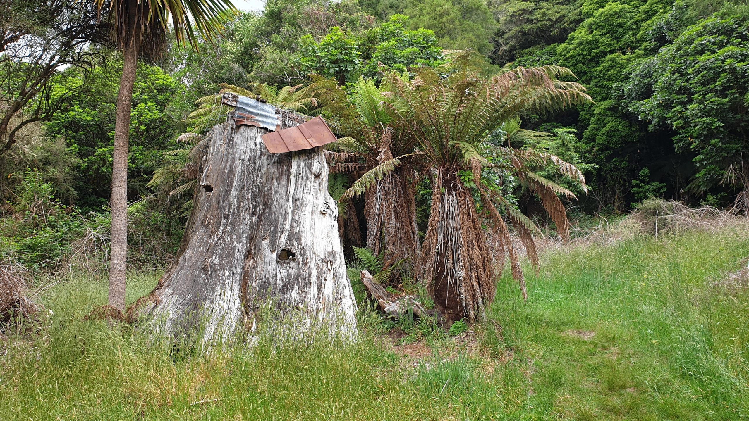
Today the most exciting thing on the trail were the superb swing bridges and the stump hut- a tiny dwelling made inside the stump of a tree. It’s rather dilapidated now and I can’t imagine 2 people living in here!
The other highlight of the day was food related- pizza at the Timber Lodge- fancy lodge on the trail . The view from the lodge is also great as it is perched on a hill.
We spent the night at Camp Epic- and it was EPIC! The best and most modern camp bathrooms ever! Breakfast included!
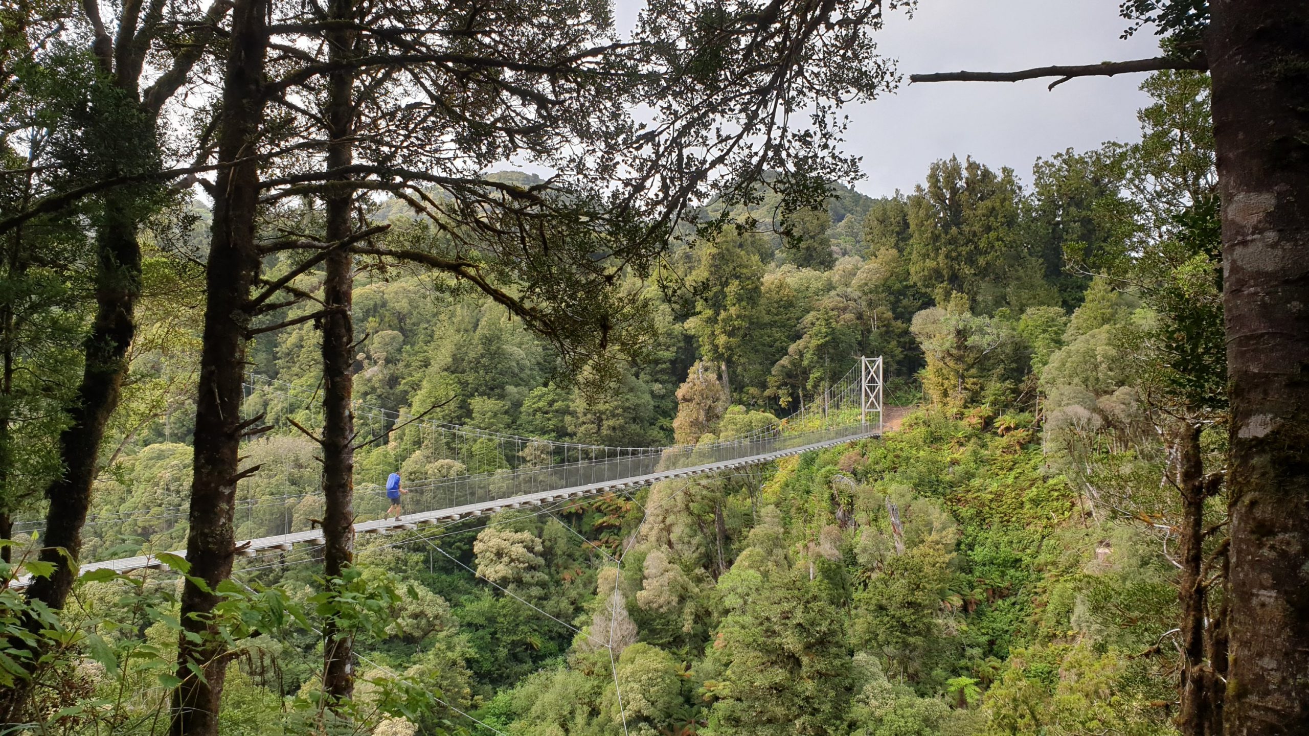
Day 50
Km 24.5
Cumulative Km 646.5
It was due to rain loads from midnight but we had very little of this predicted rain while walking, which is good! Lots came down in the evening though!
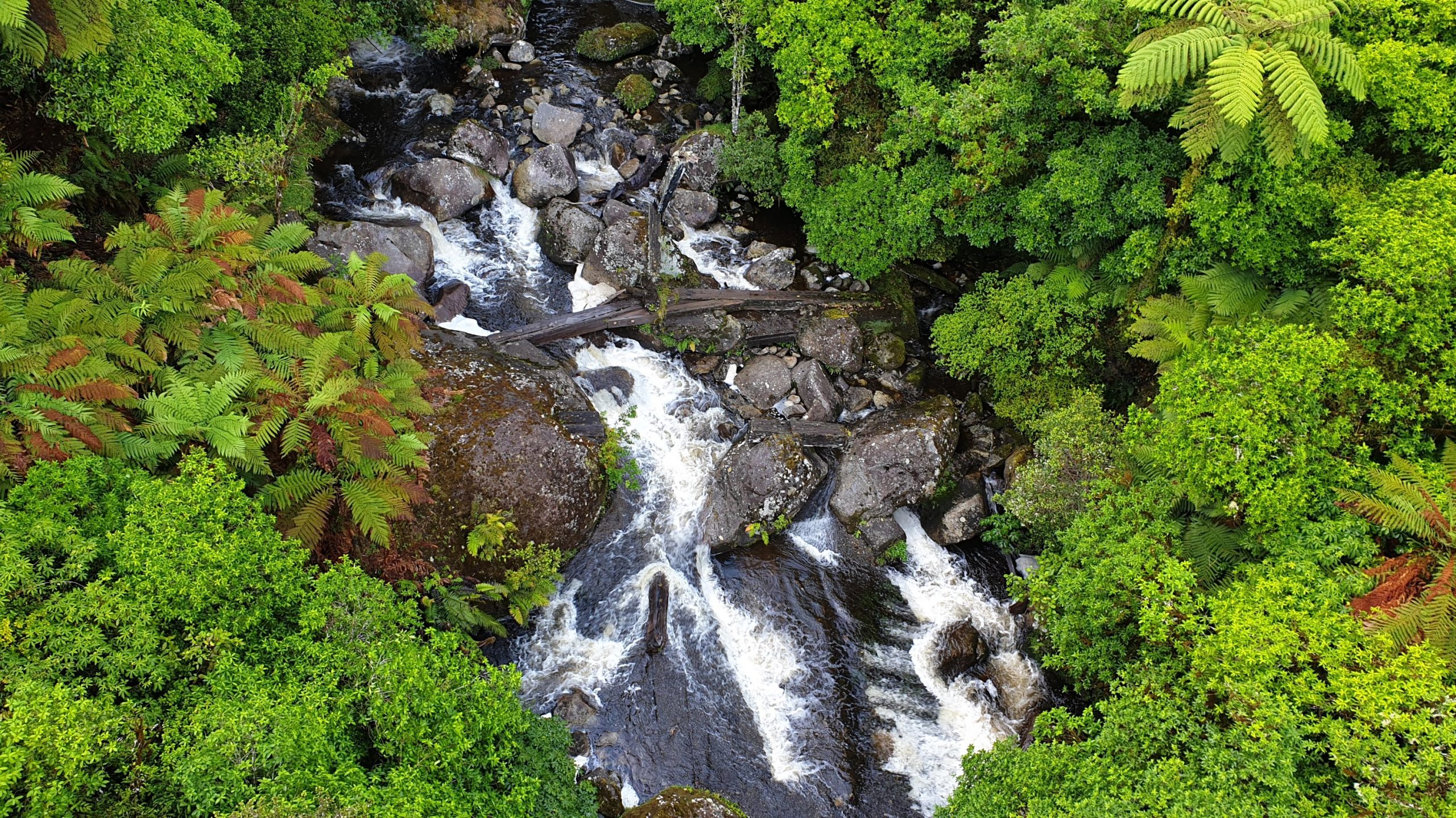
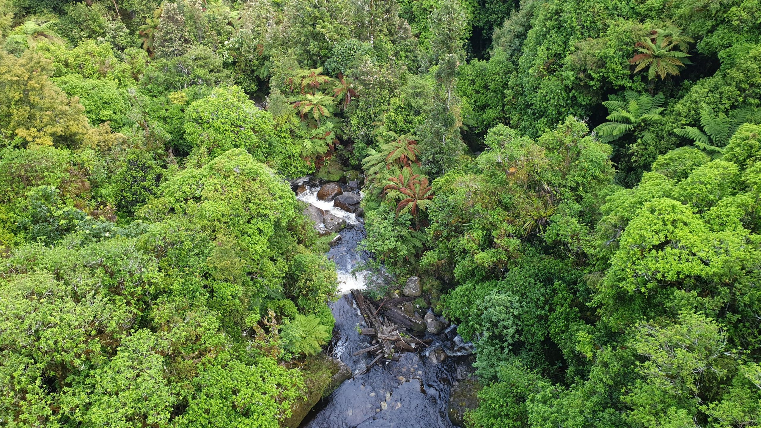
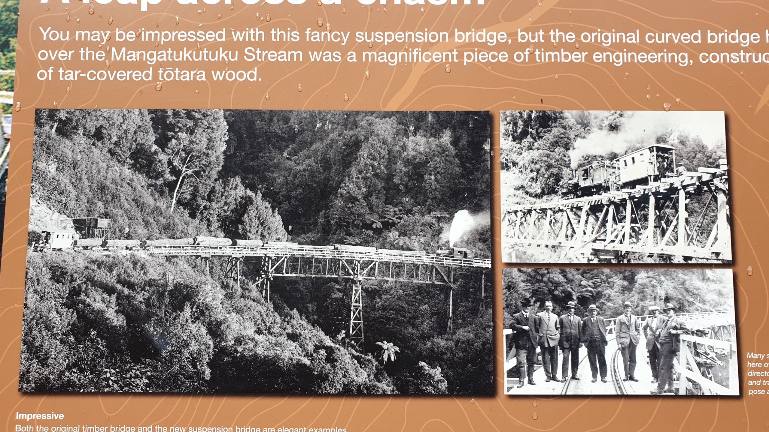
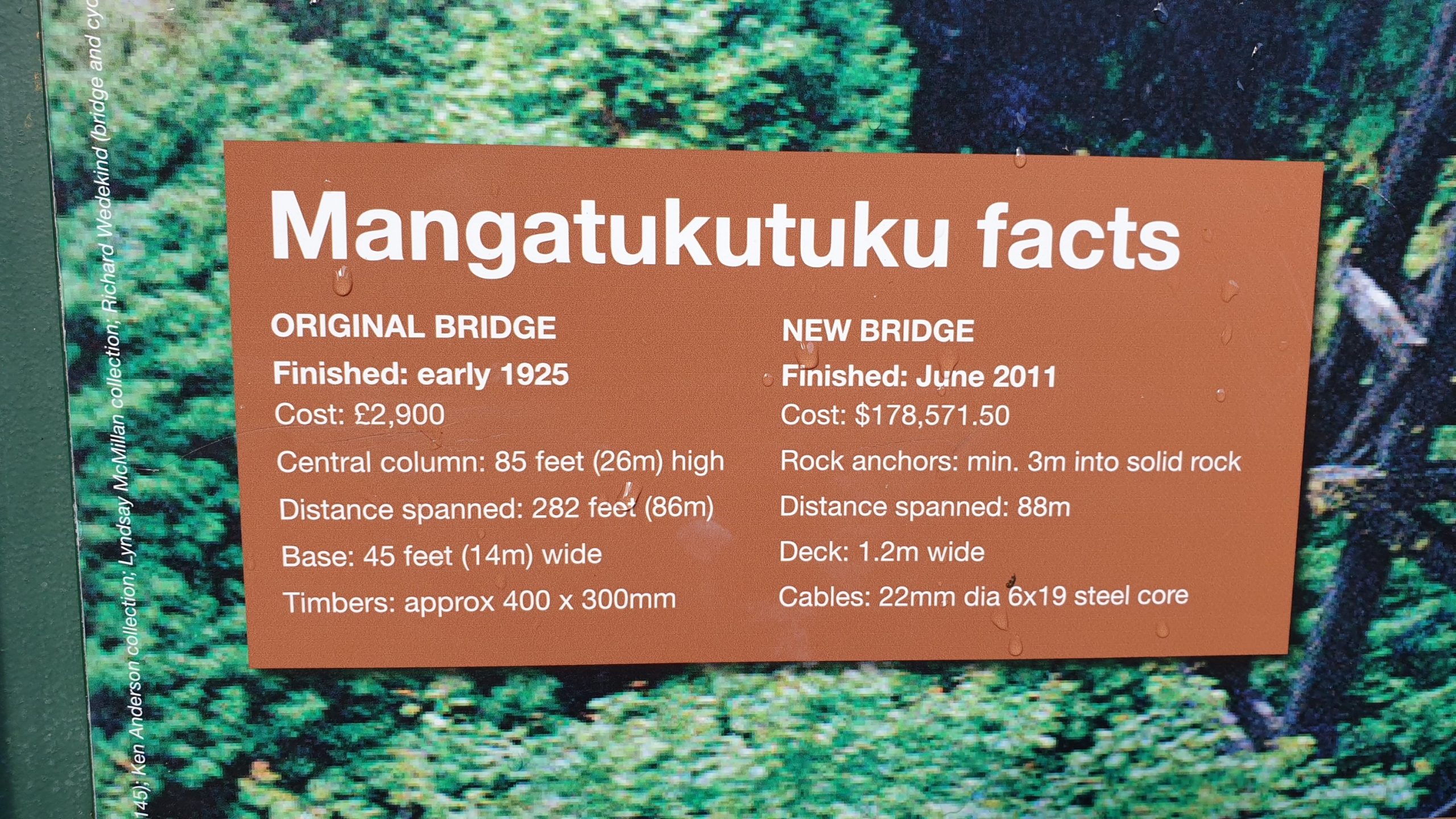
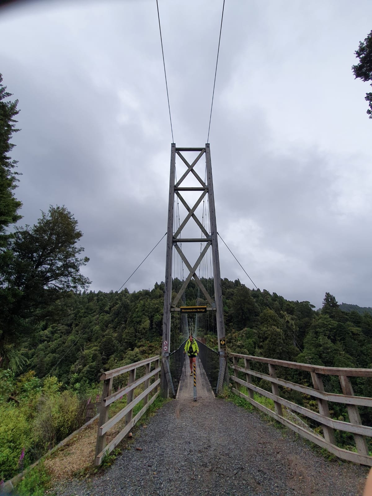
The day started with a winding climb, gaining 180m in elevation and joining the incredibly impressive 141m Maramataha Bridge. The cost of building was 470k NZD and the bridge life will be 50 years. It also took 18 helicopter hours to help with the different stages of bridge building. The height of the bridge is 53m above a gorgeous creek and gorge covered in forest.
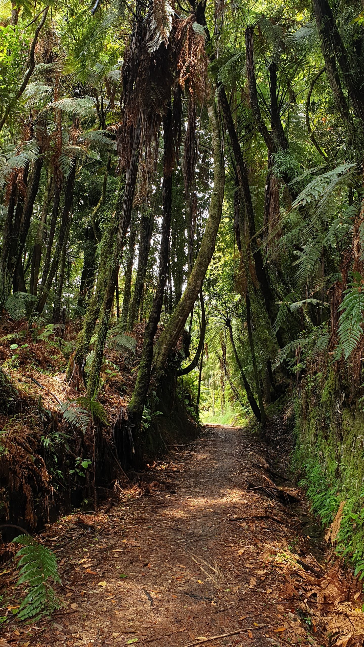
I enjoyed today’s walk as we followed old logging tram ways with explanations of logging related activities along the way. One fun story was when the payroll officer fell off his horse and the horse bolted with the wages, in cash, for 100 men! The horse was found 2 weeks later with all cash on board!
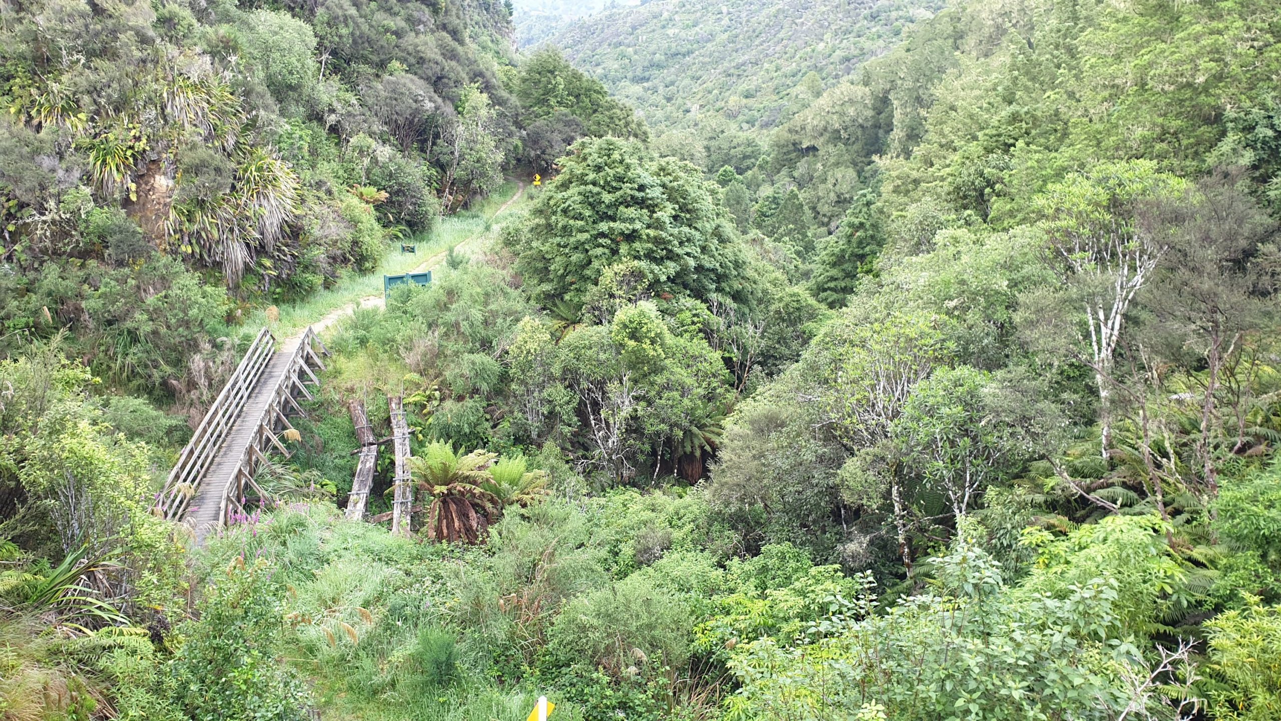
We walked through cuttings in the mountains that allowed the railway locos and trains to pass and are now overgrown with trees, creating natural tunnels.
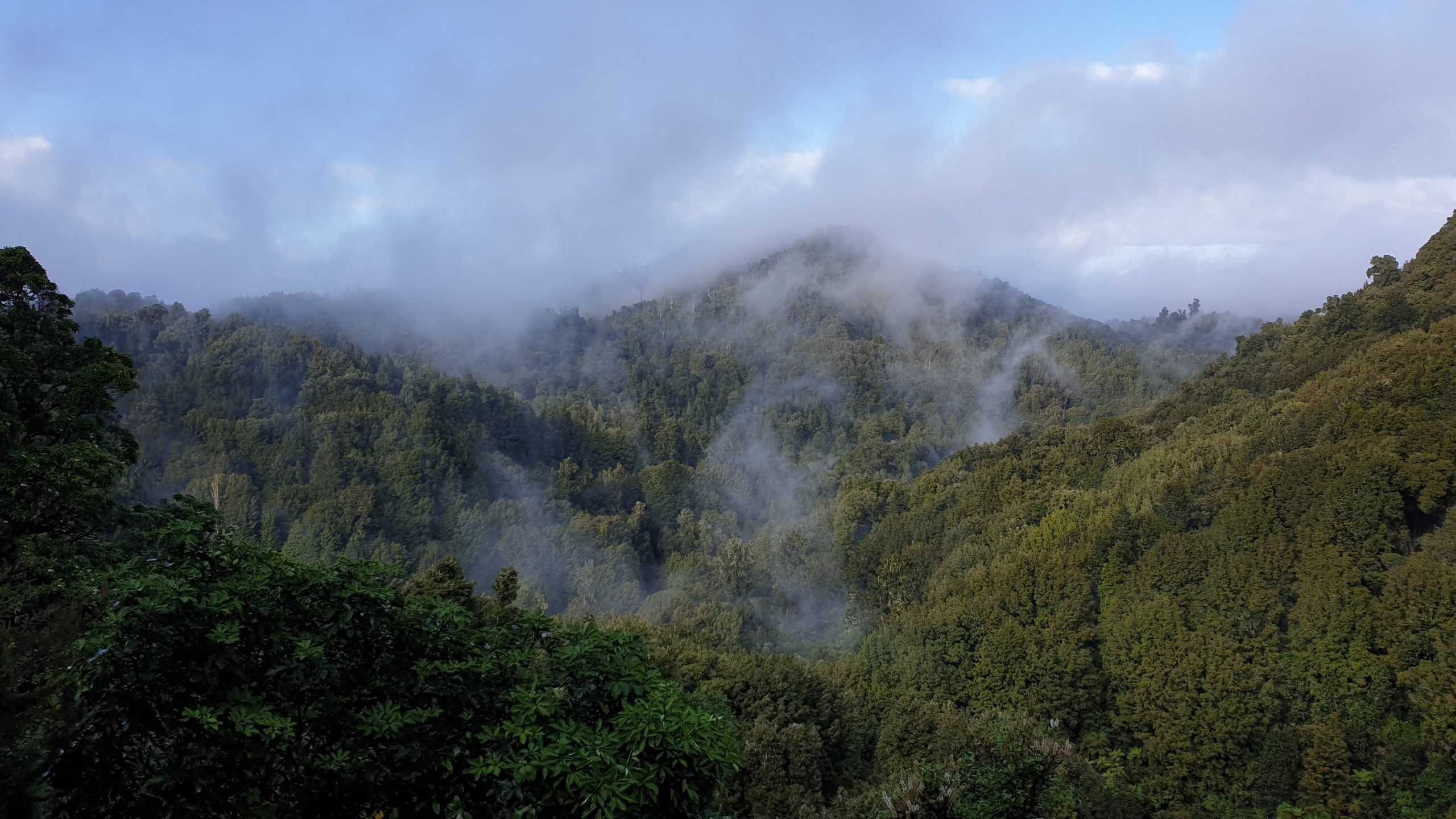
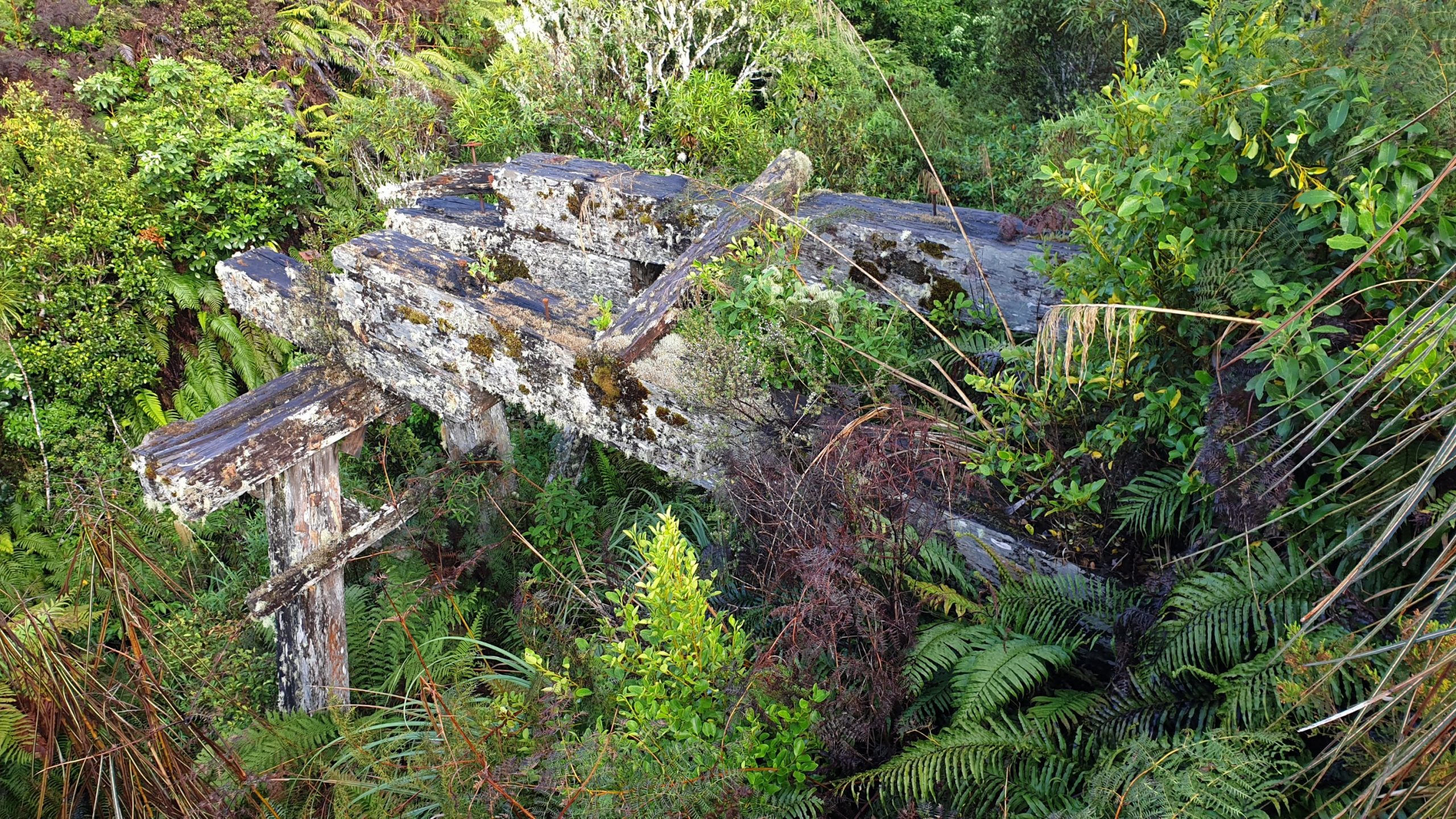
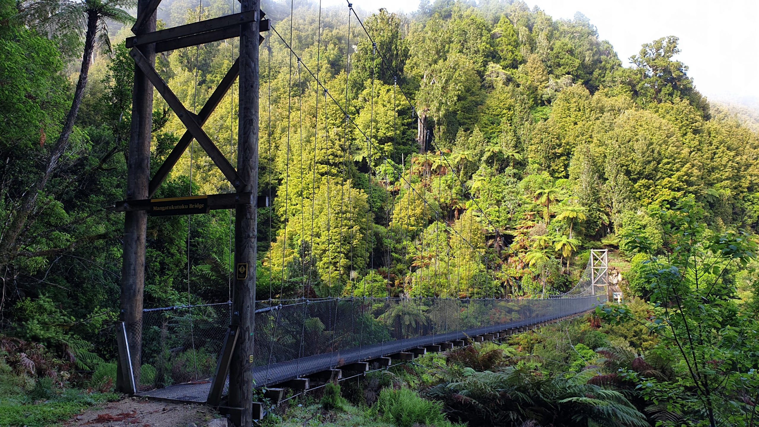
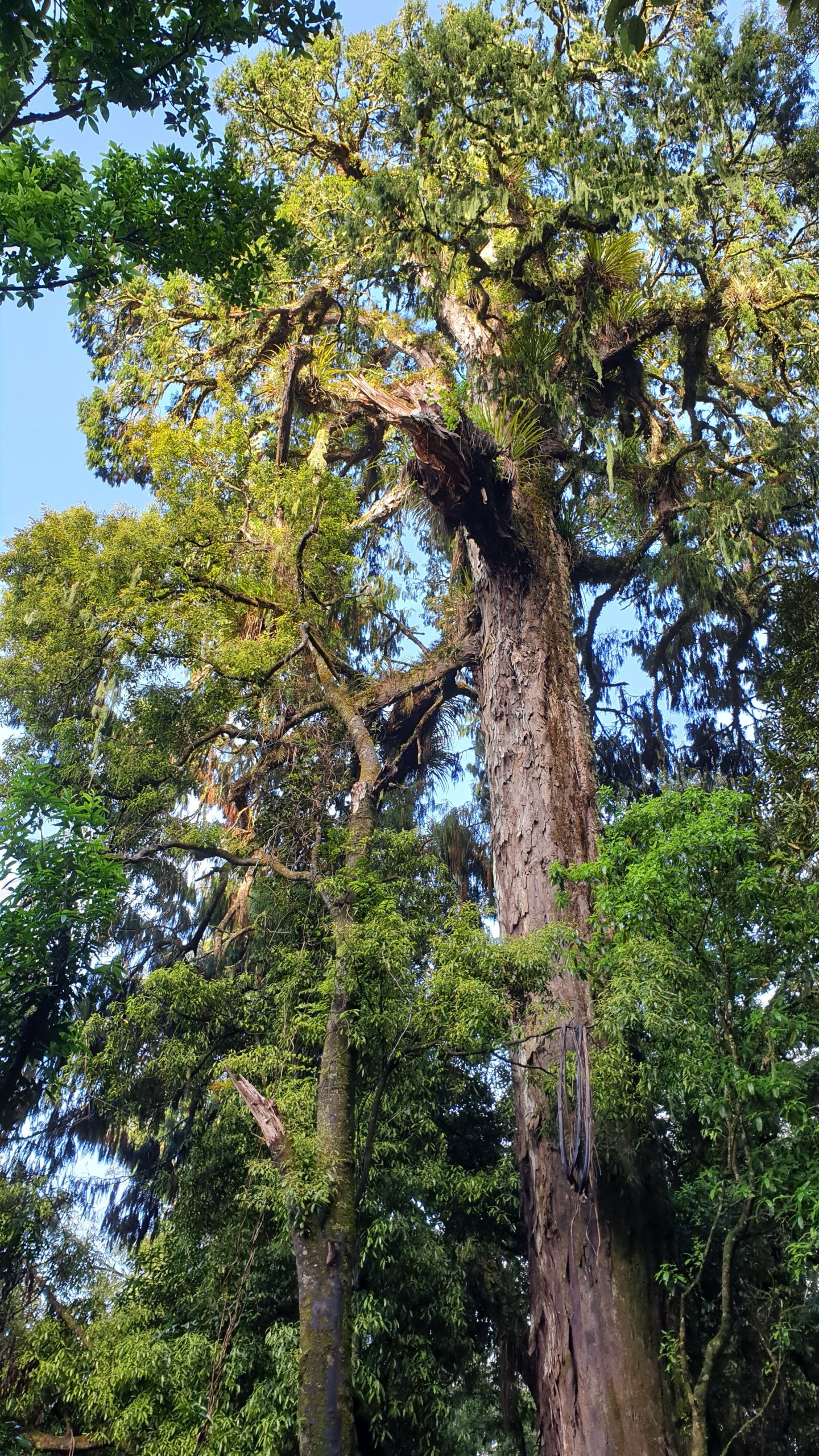
Day 51
Km 24
Cumulative Km 670.5
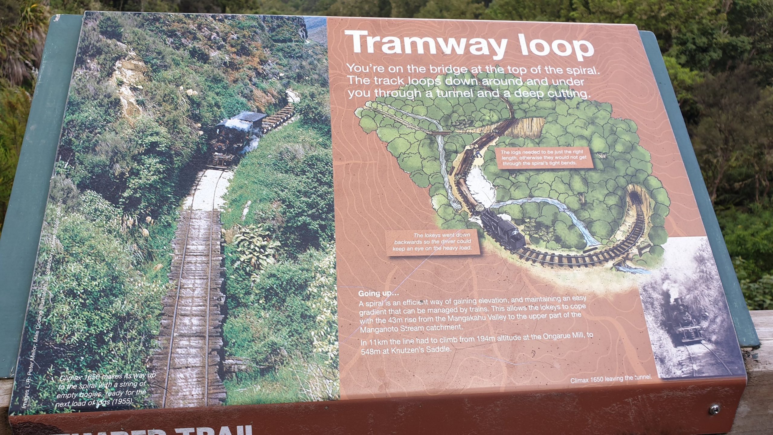
The last section of the timber trail has a trail highlight- a spiral construction for logging trains to make a sharp turn across 2 bridges and through a tunnel. There is also a 1500m long active landslide area where we passed the 1,000km of the trail mark!! That’s a third of the trail!
Hereafter the trail gets somewhat boring and a bit depressing as we have a large hill that is bare and clogged, perhaps a fitting end to see what logging does to a landscape?
The trail finished in the old milling town of Ongarue , now a near ghost town. We walked another 3km to get to SH4 to try and hitch to Taumarunui 21km down the road. We eventually got picked up by a lady who picked up the girl who we have been hiking with.
It was difficult to find a place to stay, as all was booked out. We eventually found a lovely cottage on Airbnb for a good price, though 3km out of town.
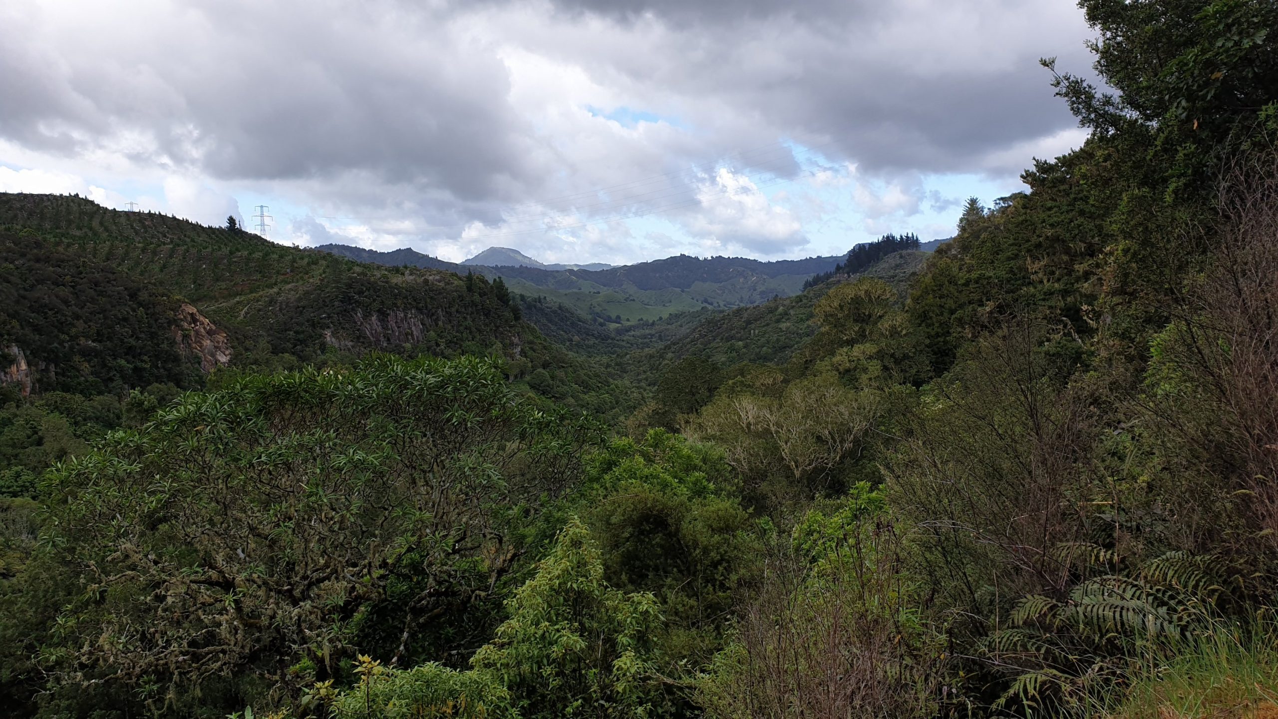
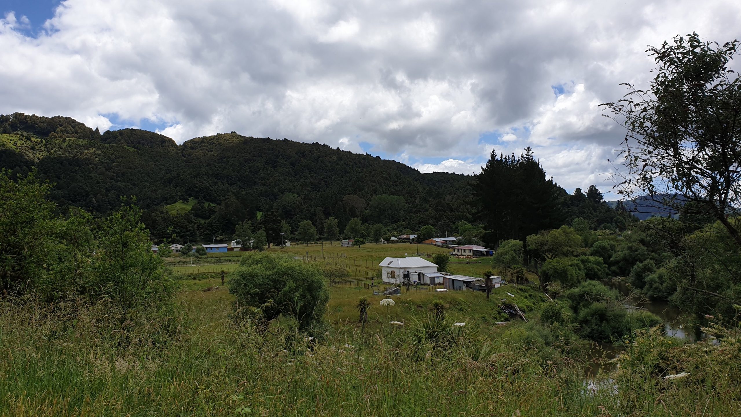
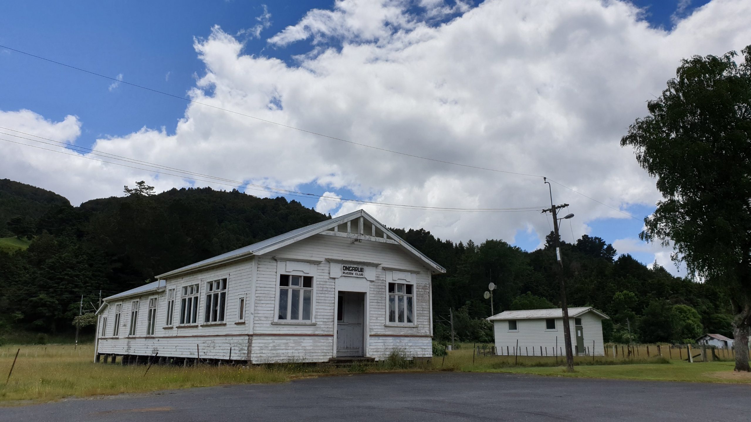
Day 52
Km 3.5
Cumulative Km 674
Today is pretty much a 0 day for rest, washing and eating loads!! Of course we buy supplies to do some cooking too! We also go to the I-site to get some info on the upcoming river canoe, which I will skip and the Tongariro Crossing.
We had already booked 3 nights at our accommodation but it turned out that the weather would be great for the crossing the next day. So I enquired if it was possible to get a return transfer from Taumarunui to the start of the trail and back. And it was at the same price if we used a complex combination of bus, shuttle and no more accommodation costs! So we were booked for that the next day!!
Orewa to Te Kuiti
Day 34-39
Km 0
Cumulative Km 451.5
I had a rest week in Auckland and had 2 Chiropractor appointments to try and help with the Achilles pain that I have had. No pain, no gain and both appointments were pretty sore, but helpful.
I did a fair bit of cooking at my aunt’s place, which was nice, with loads of vegetables and meat.
Day 40
28 November 2019
Km 16
Cumulative Km 467.5
My aunt took me to the Manukau bus station and I caught the bus to Hamilton central. It turns out that Moritz was arriving in Hamilton too, by foot and we decided to meet up in a cafe for lunch and coffee. Once we enjoyed our food , Moritz went to the shop to resupply and I waited for him.
We headed out approximately 13h30. I should mention that we started off at kilometre 759 of the trail, so I bussed a large section.
The walk to Whatawhata was pretty boring, a fair bit of roadways and the only highlight being the Arboretum. There was also a section through 2m high grass and thistles… not fun!
So the best part of the day was arriving at the only bar in town, they allow us to pitch tents for free , have a shower and use the toilets. We in turn had dinner and a couple of ciders. They went down great!
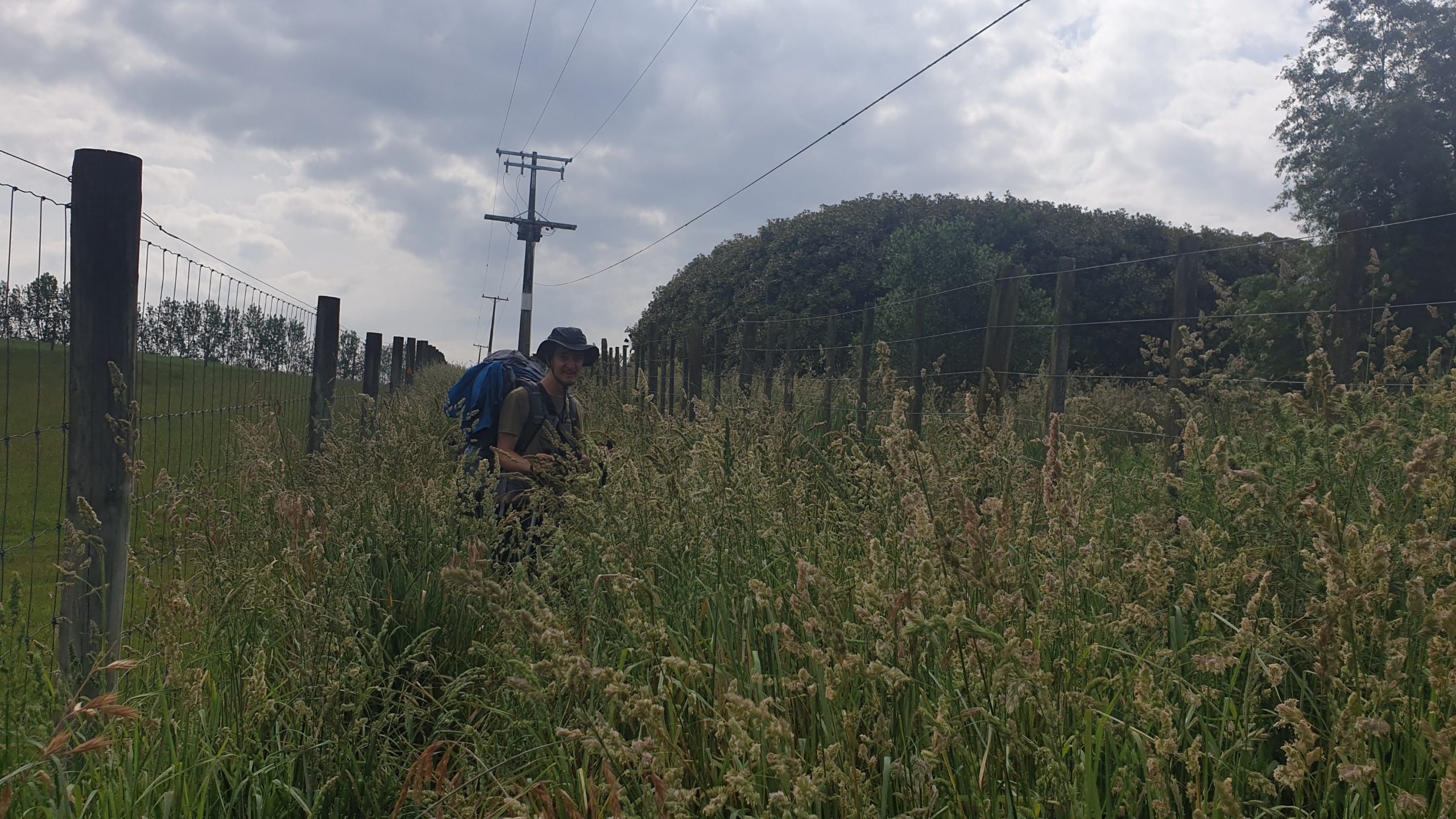
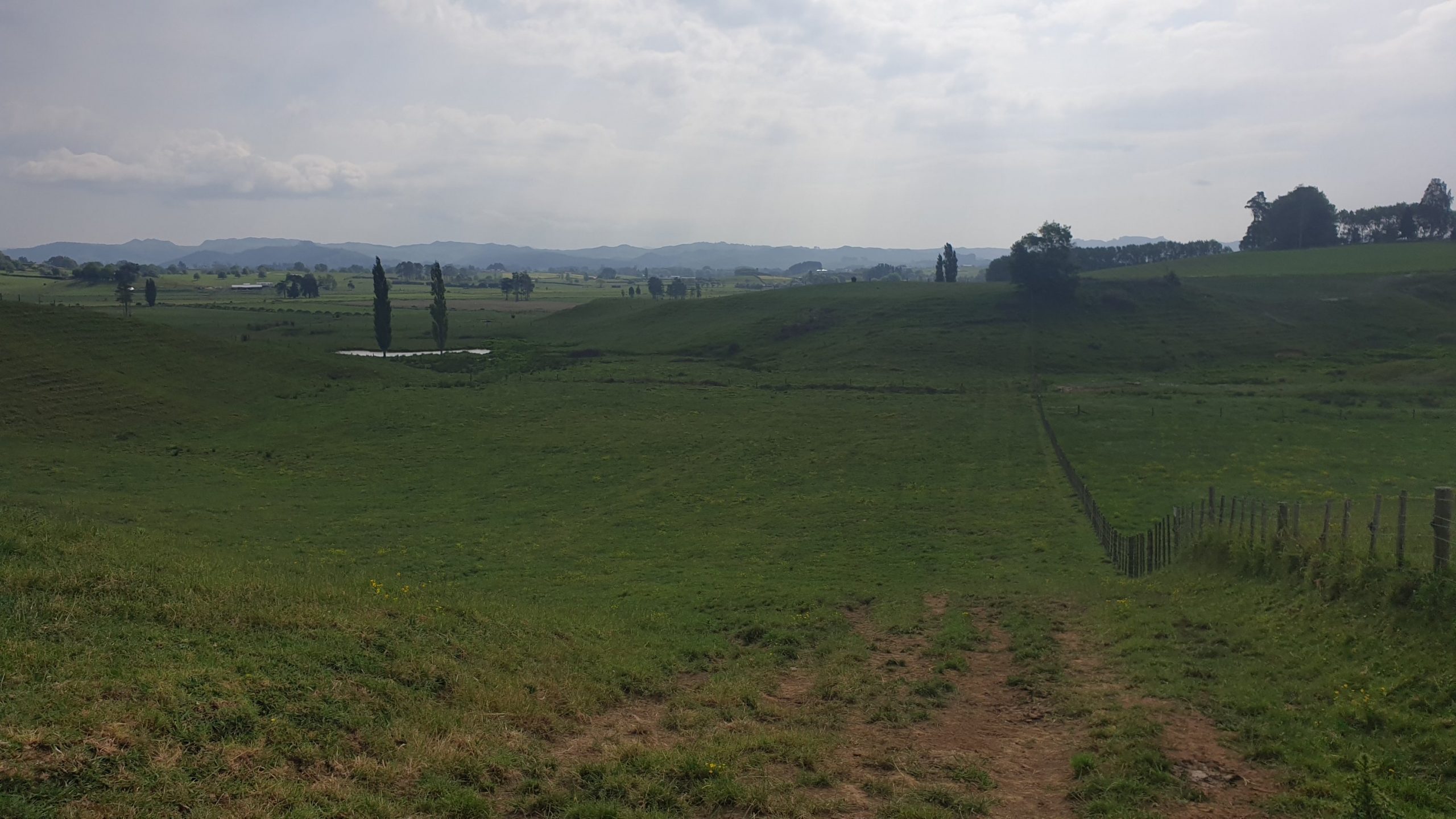
Day 41
Km 24
Cumulative Km 491.5
Today consisted of a walk along the river, which sounds pleasant enough but the trail was horrible, unkept, hard to follow. We had to crawl under electric fences and bypass a fenced off area where the track goes through but was the holding pen for about 10 bulls! This section was followed by a boring road section.
The last section of today was a flat, 2.5 km walk, close to the river. The track is wide, so is pretty easy. We got into Kaniwhaniwha Campsite at about 16h30.
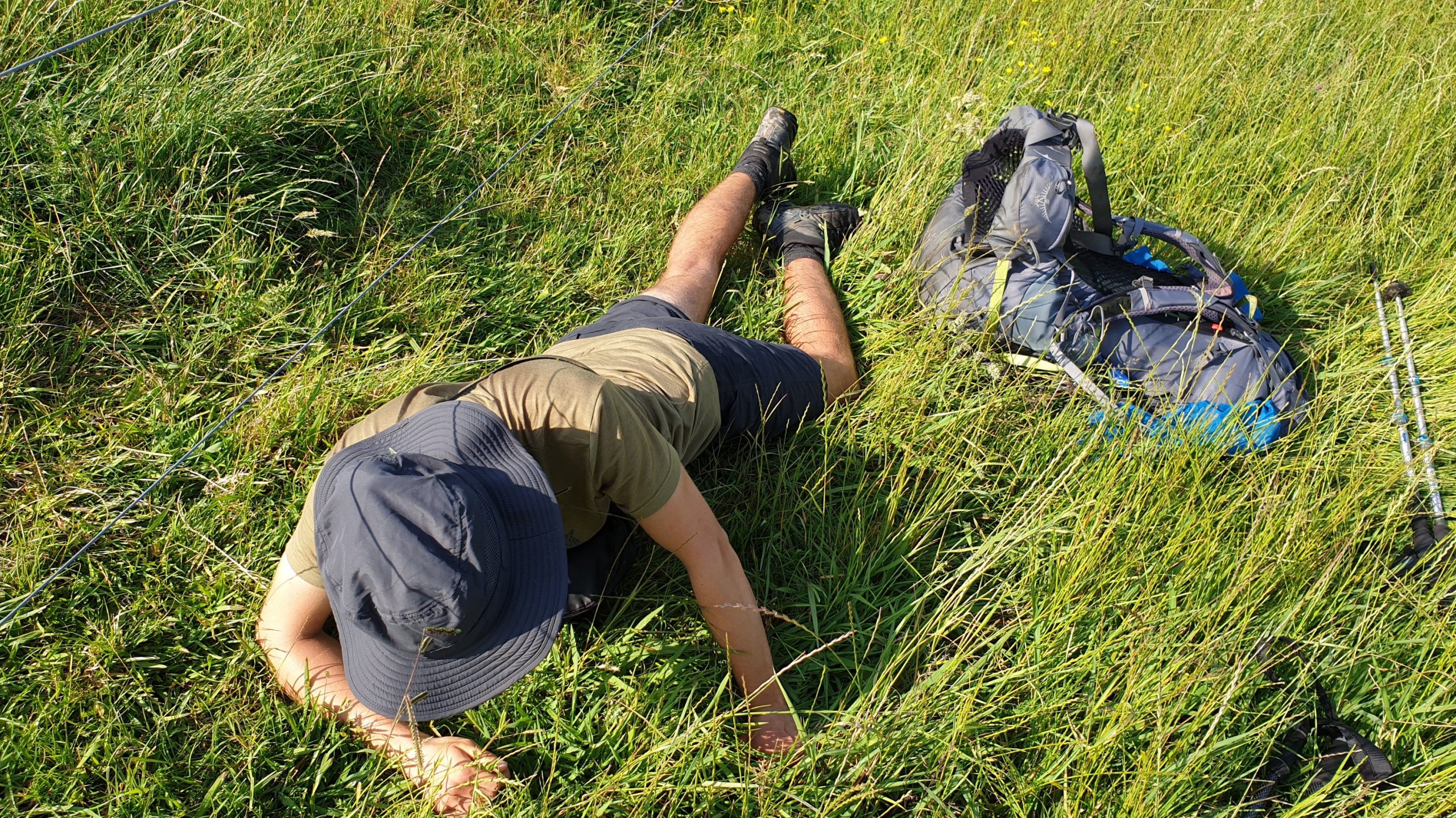
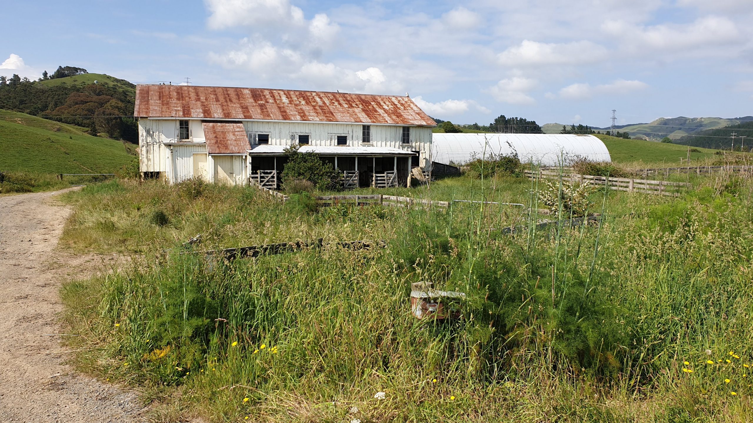
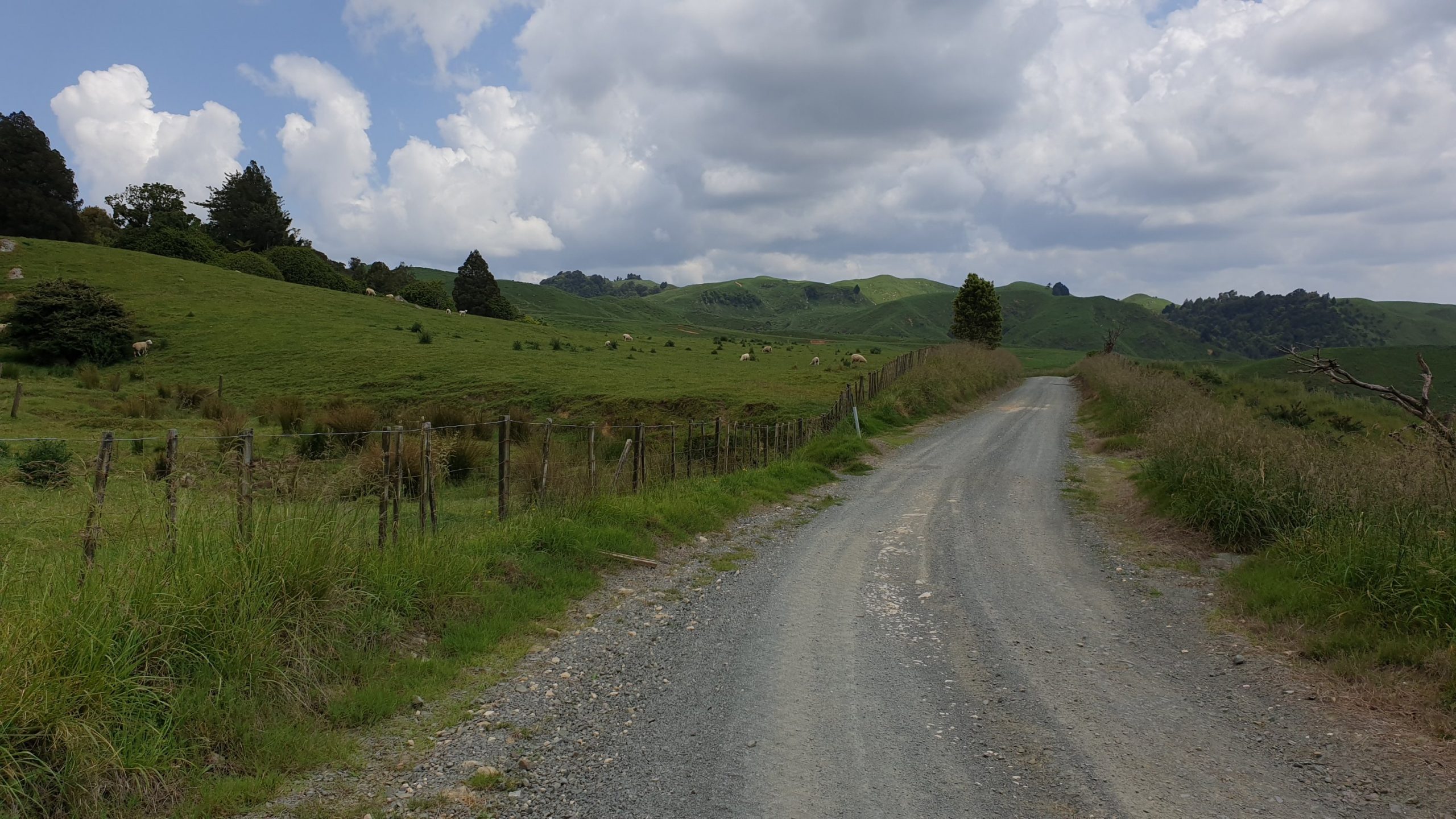
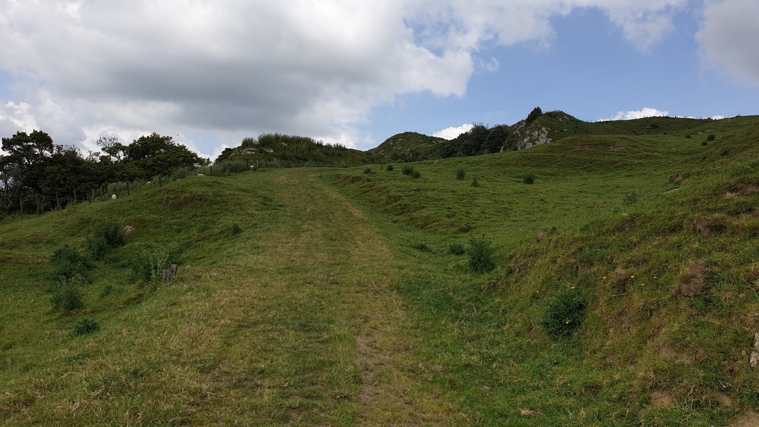
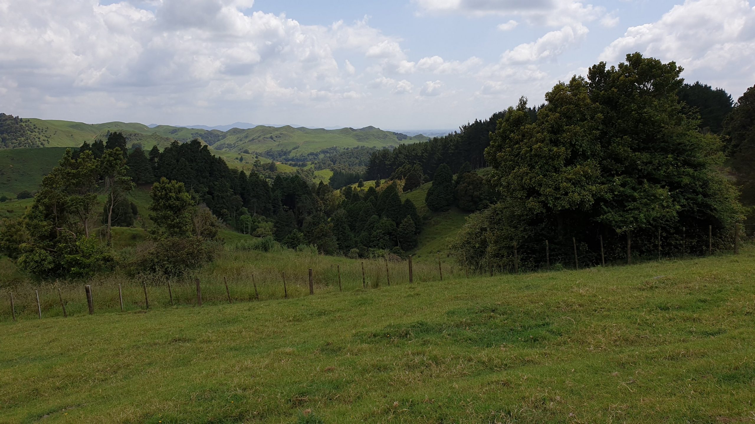
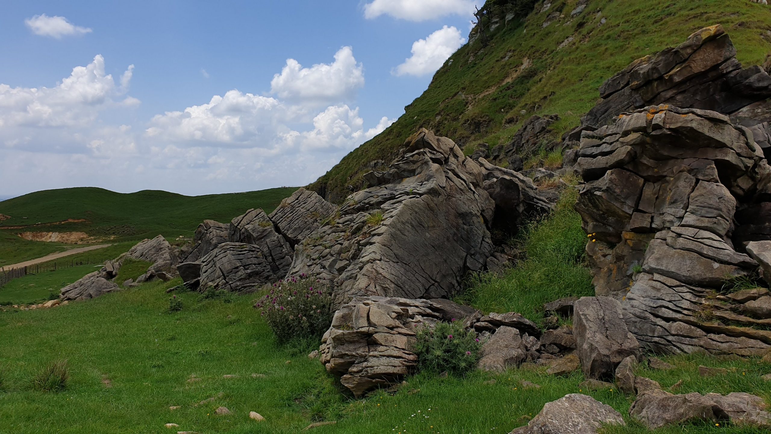
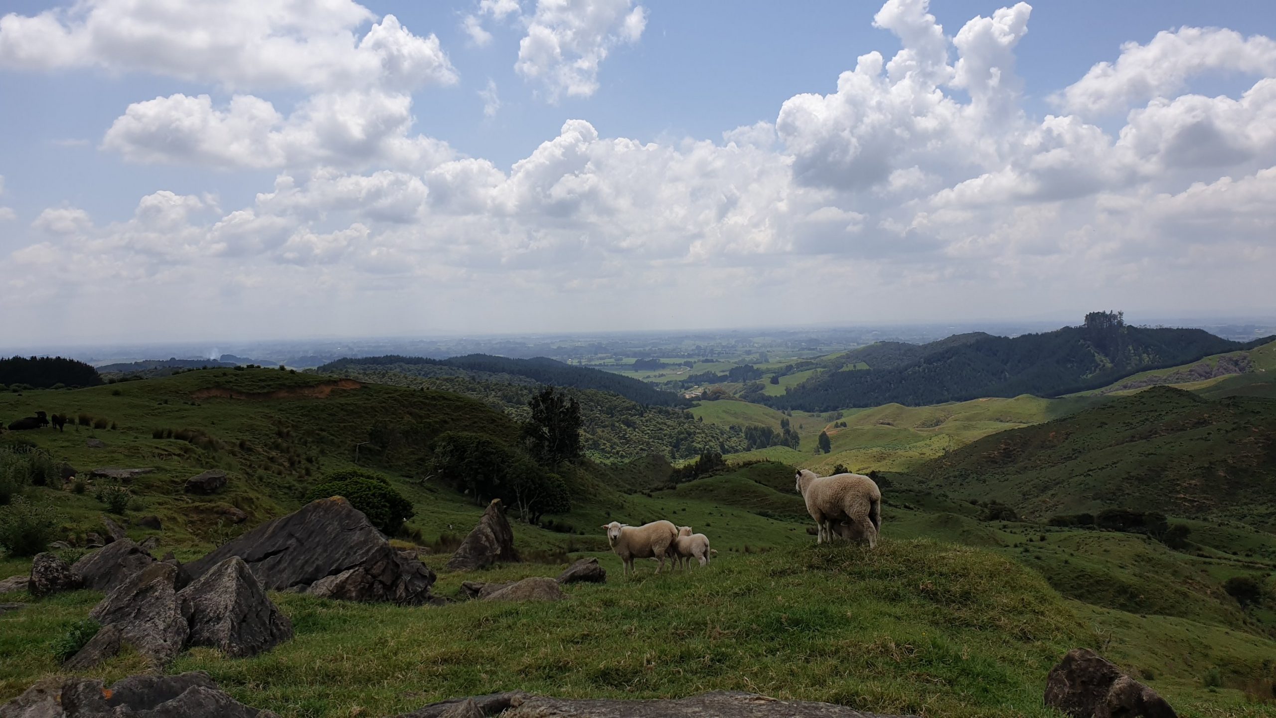
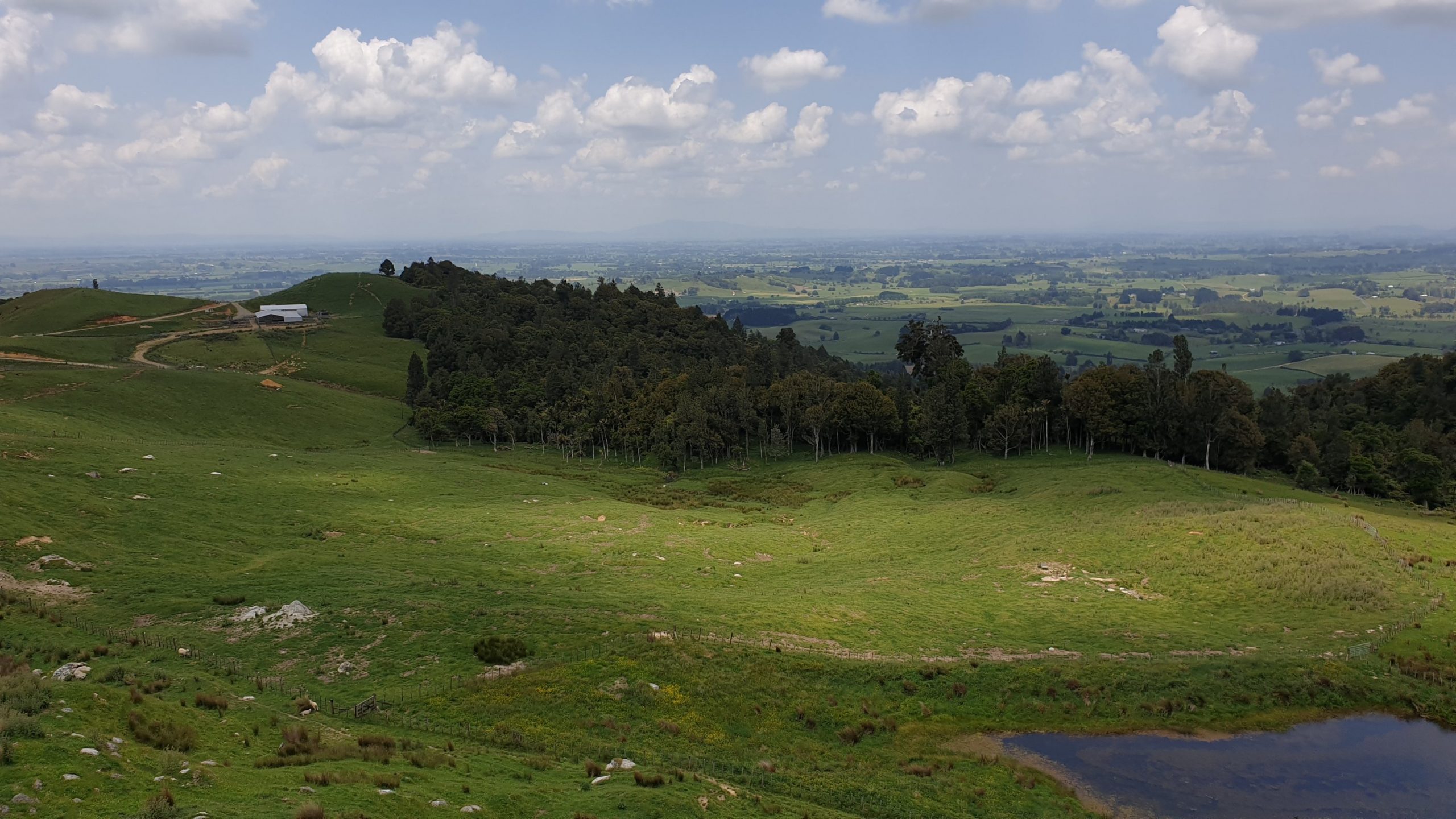
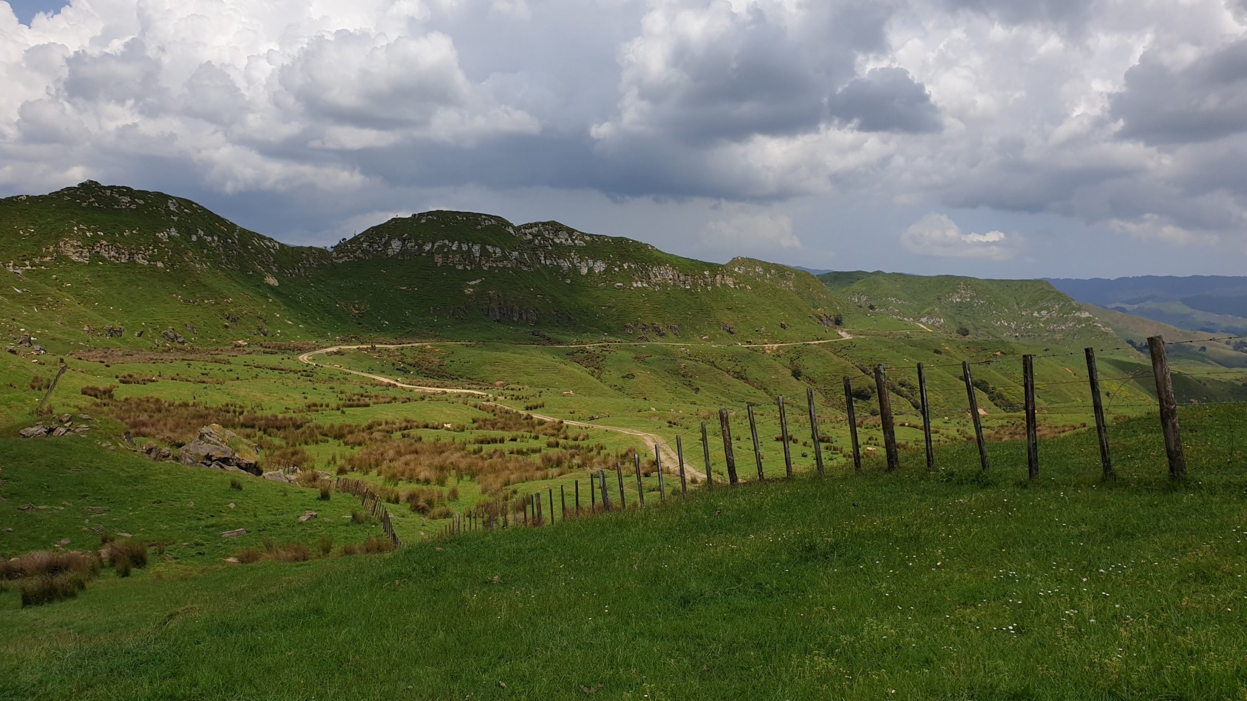
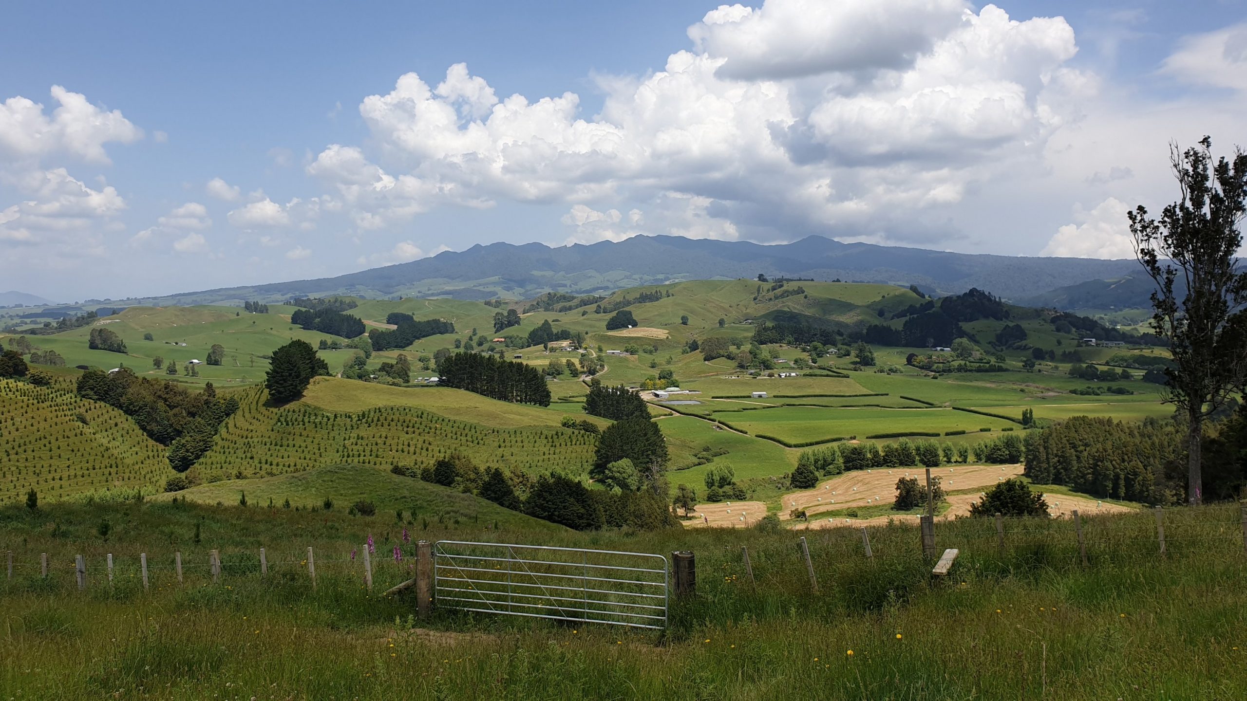
Day 42
Km 8
Cumulative Km 499.5
Not many kilometres today, but they took 5 hours. The first 5km were not bad and through a pleasant forest. The last 3.5 km were much tougher. Very steep uphills with muddy sections. Luckily it hasn’t rained much for the last few days, so the mud was firmer than usual in many places. Thank goodness for this! The views of the whole area are great from the Pirongia Summit lookout. Passing the ferns and bushes near the top, I felt like a bull dozer pushing through as the vegetation is very thick. Often you cant see the trail .
A half hour walk from the summit is the hut we were staying in. Luckily we were the first to arrive, as during the afternoon it got completely packed with hikers- it was also a Saturday – so there were many overnight hikers.
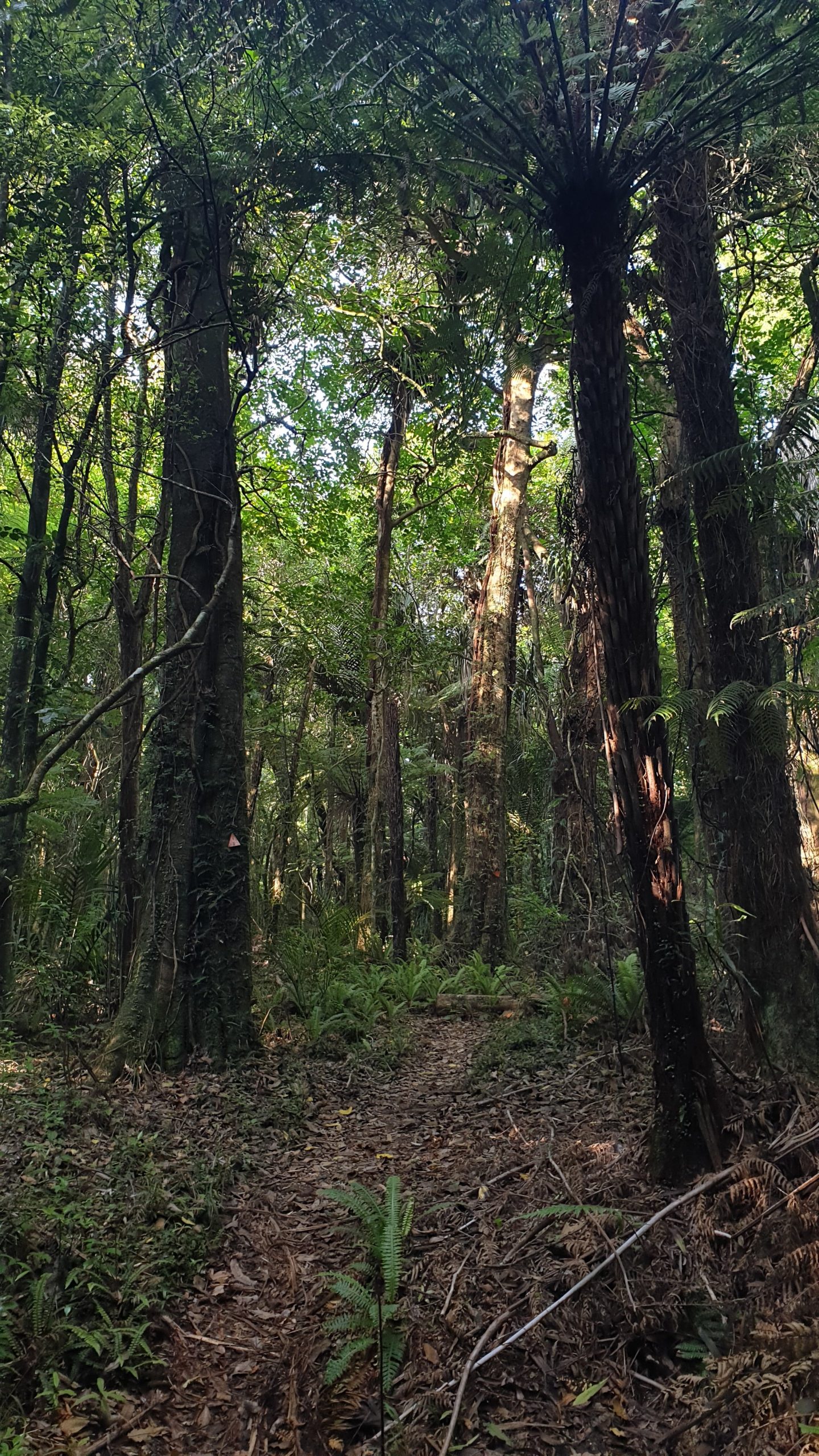
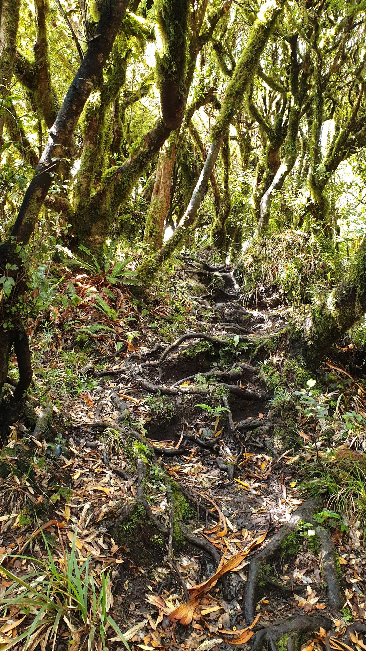
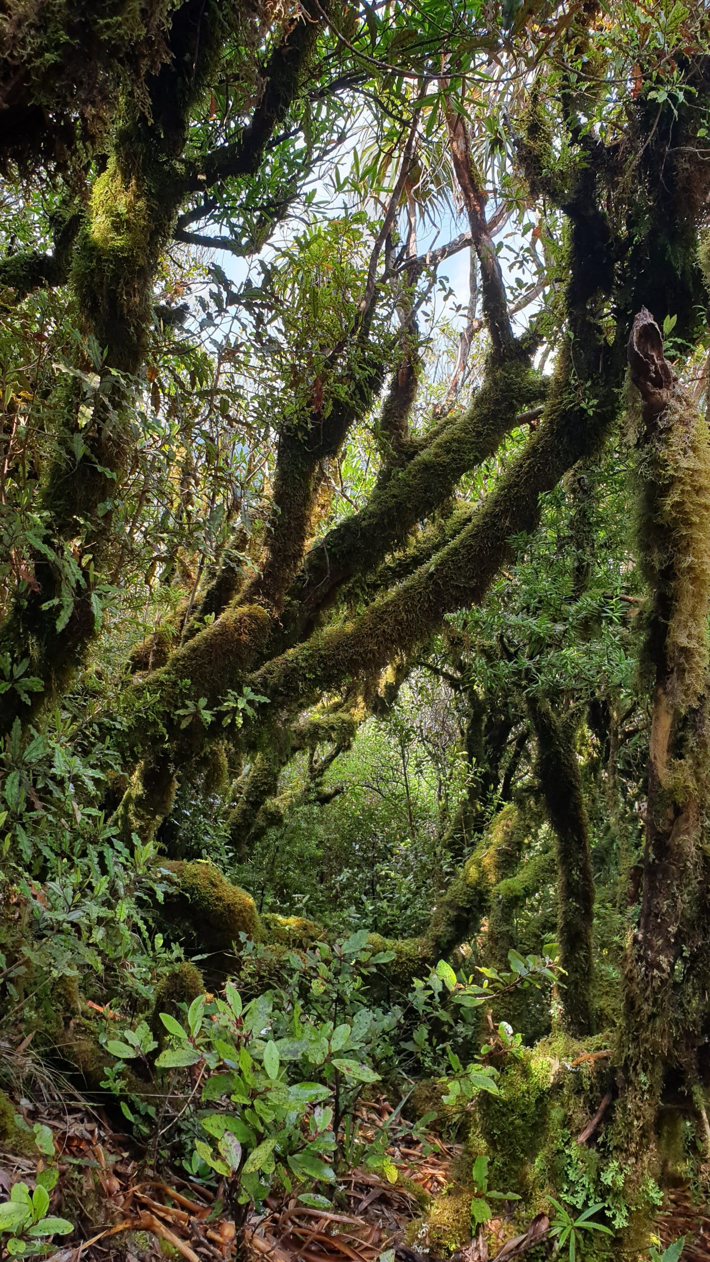
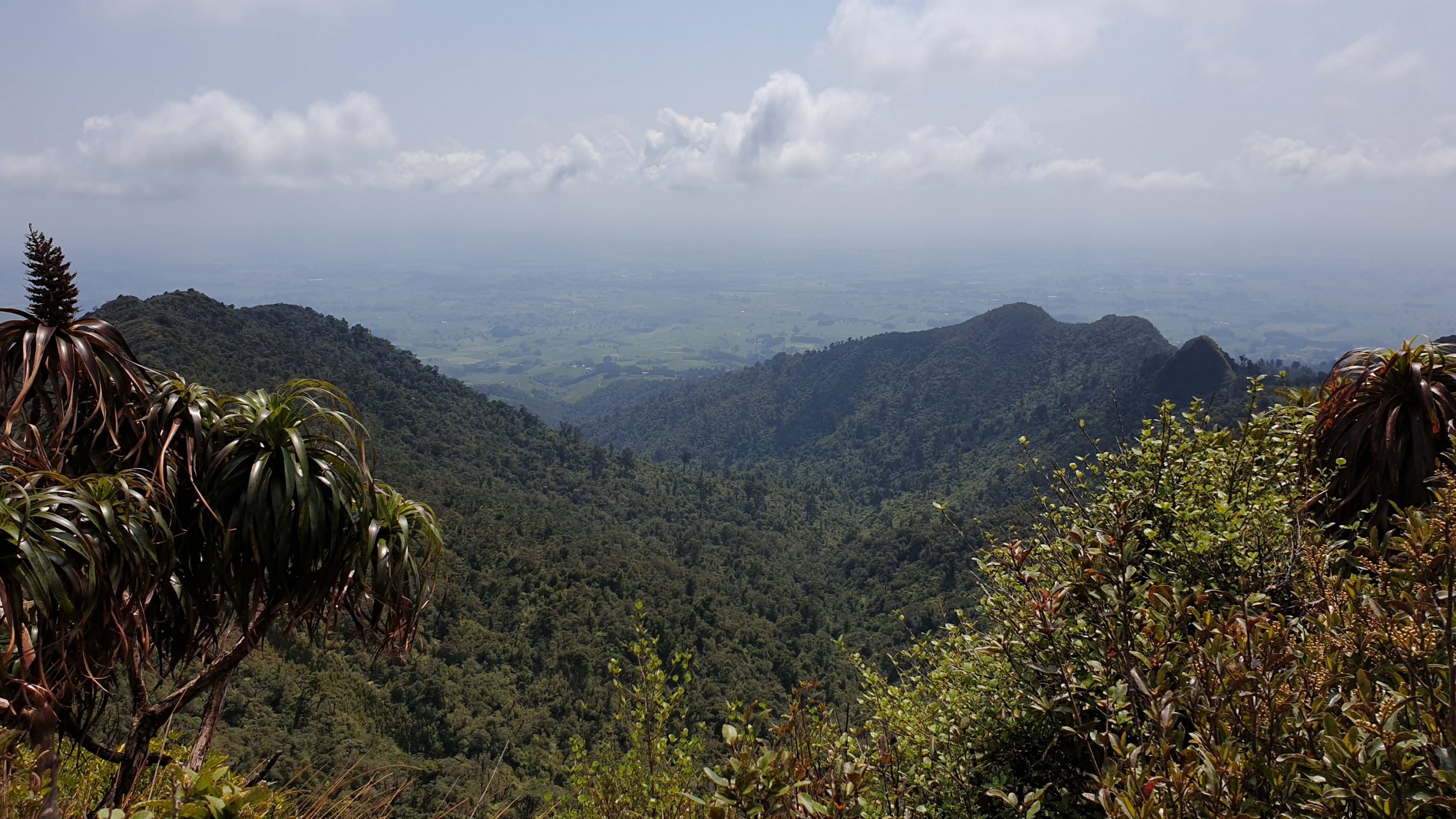
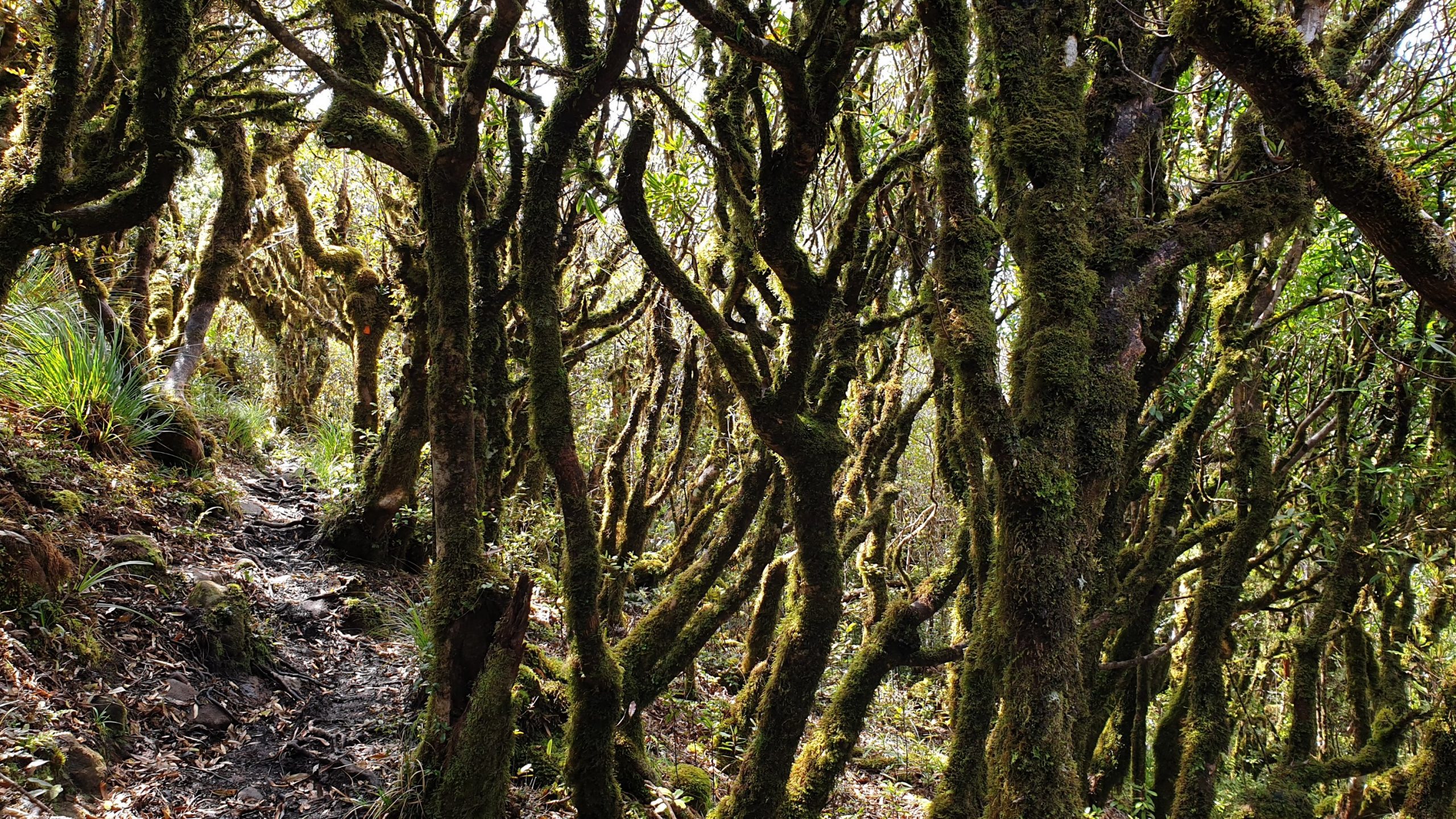
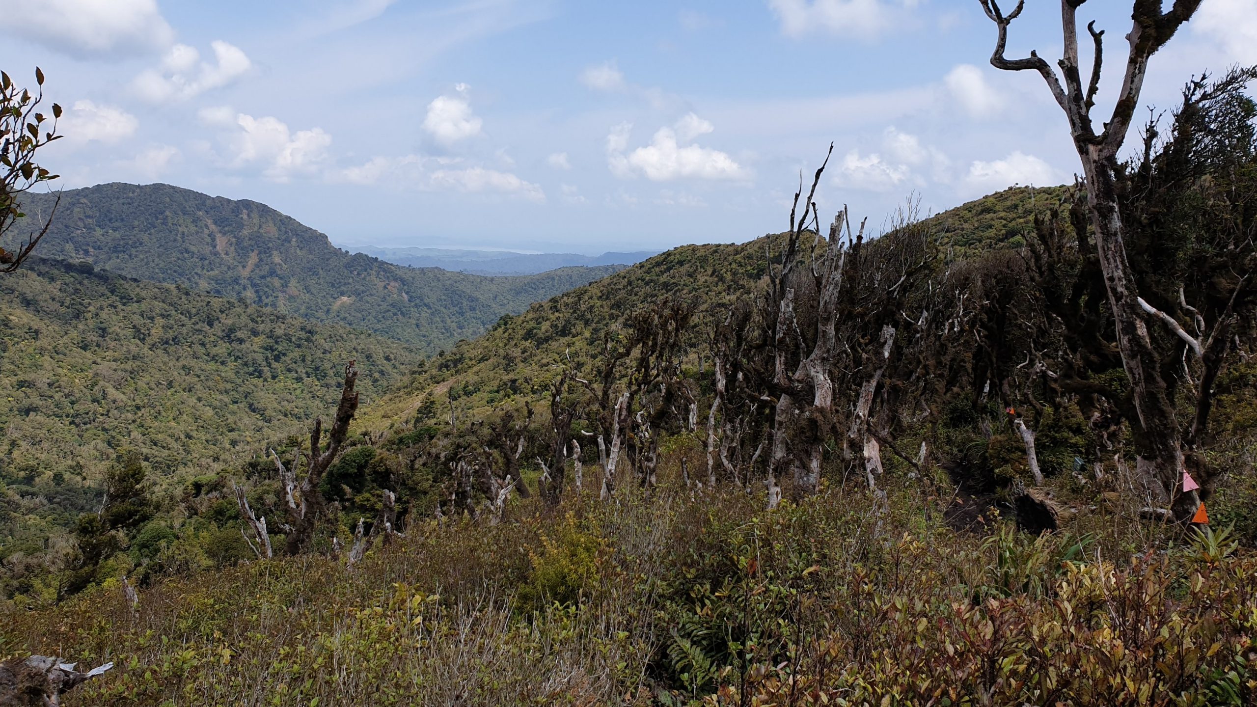
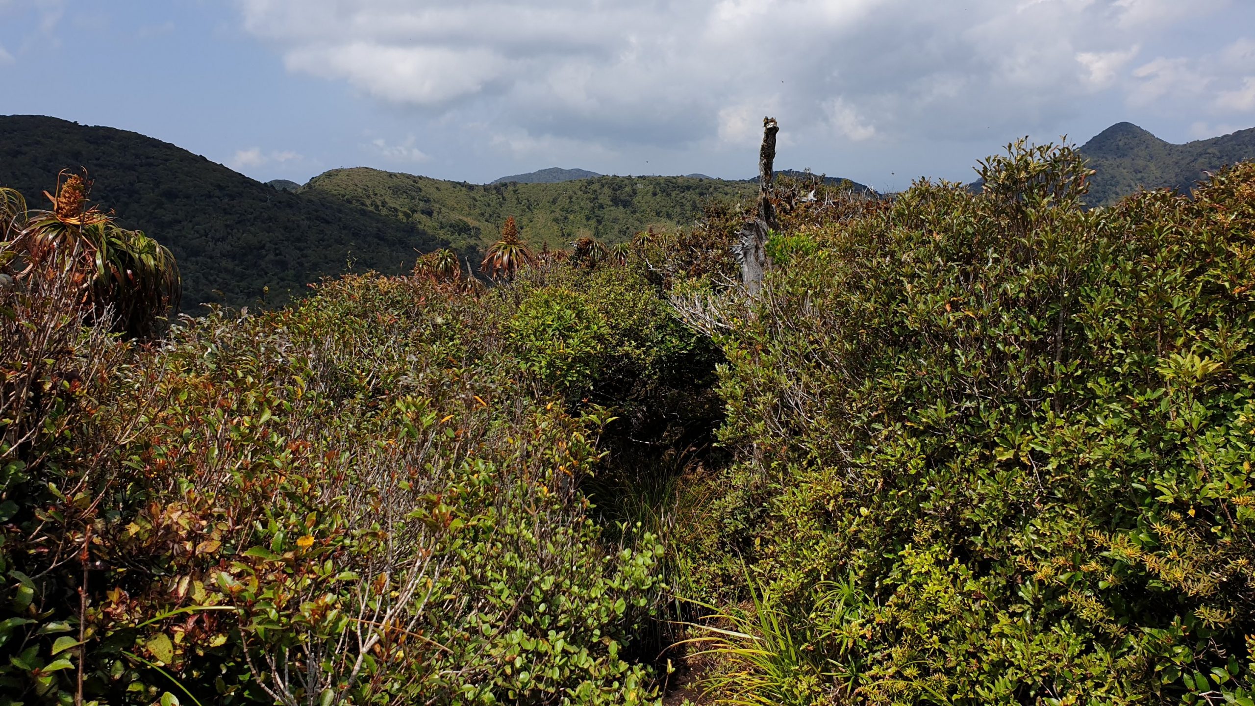
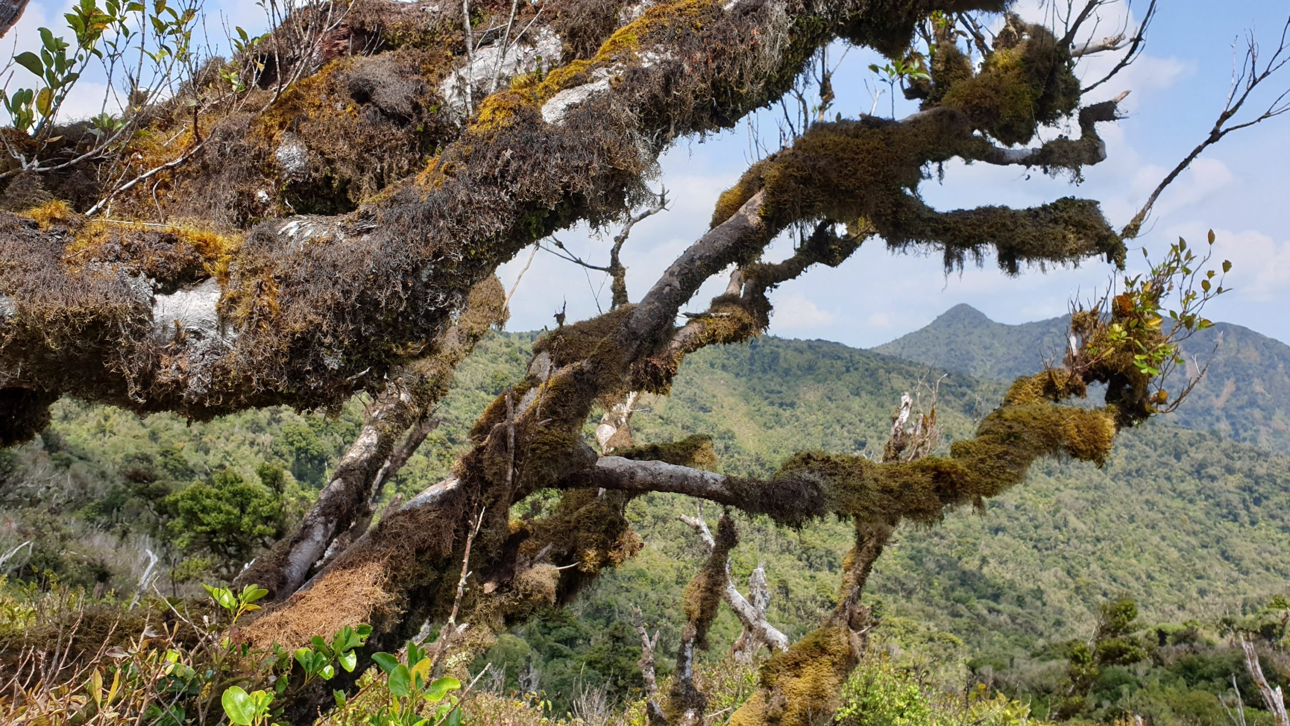
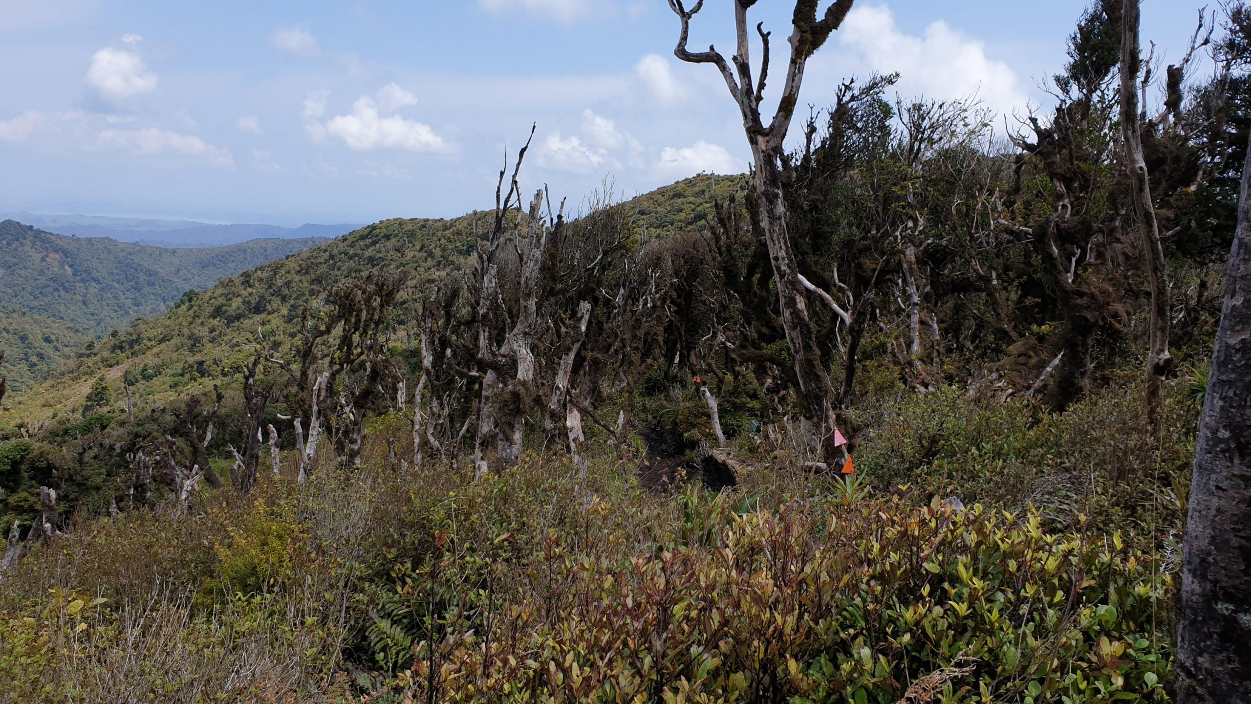
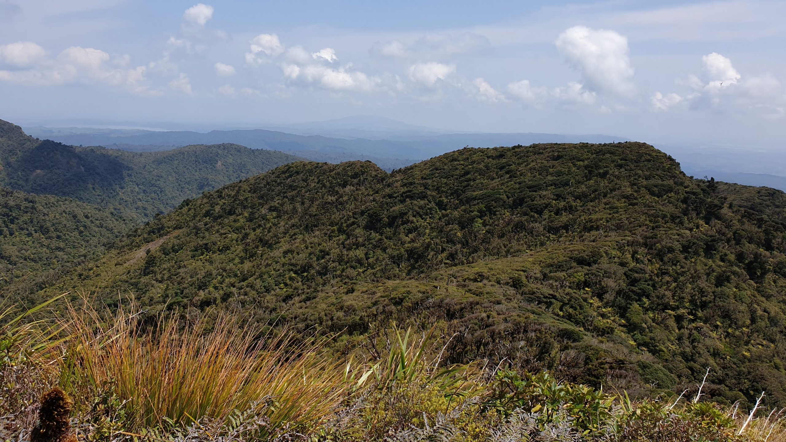
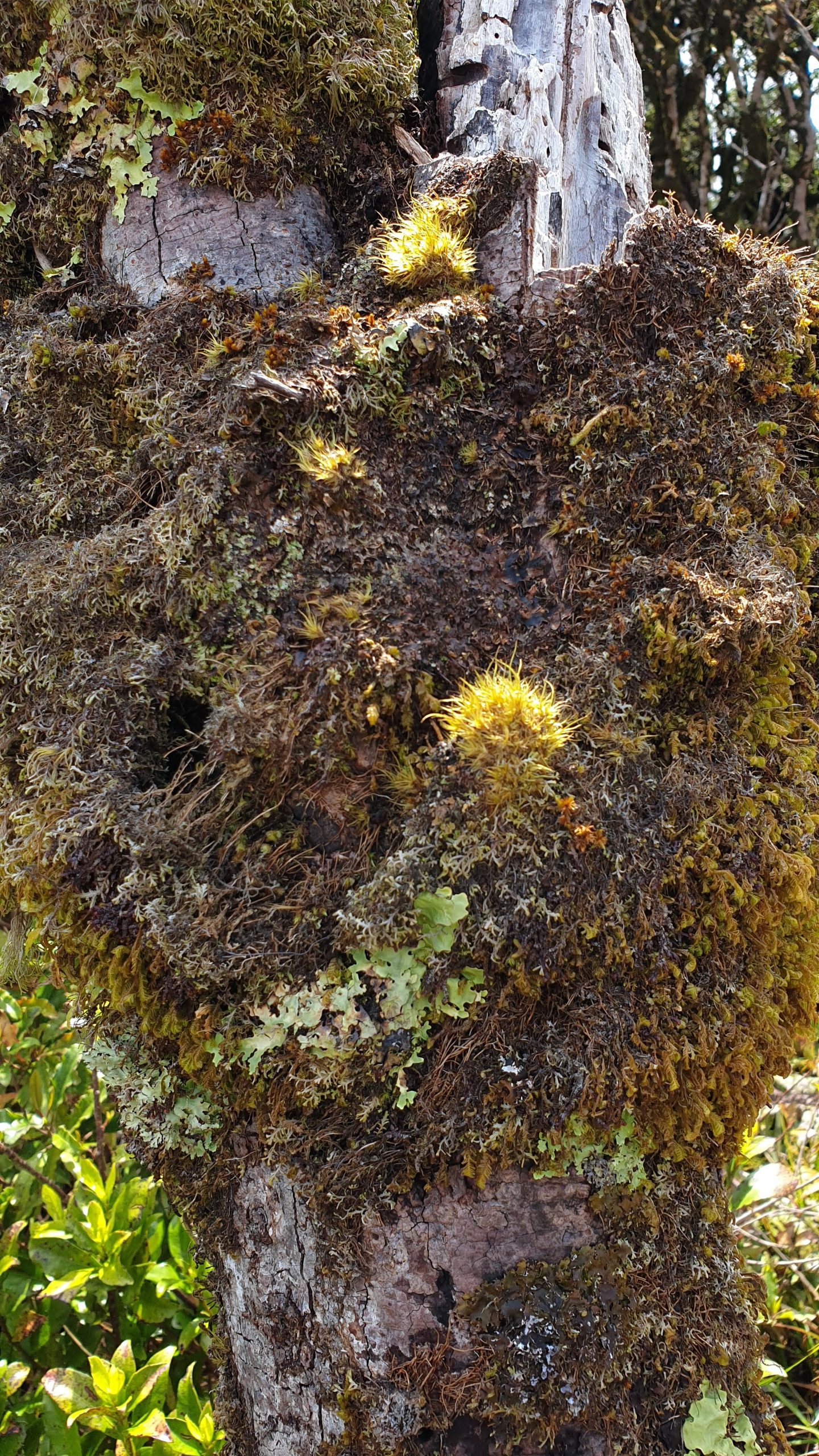
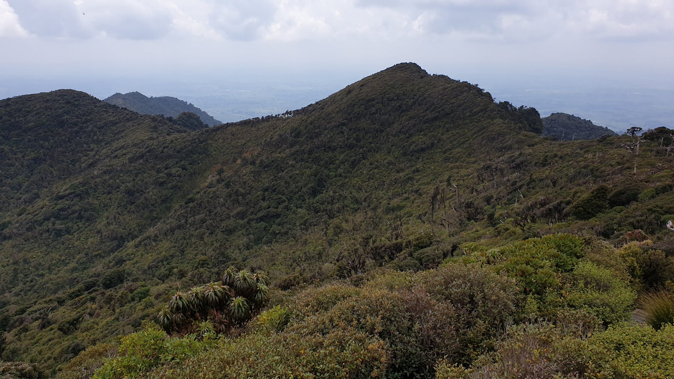
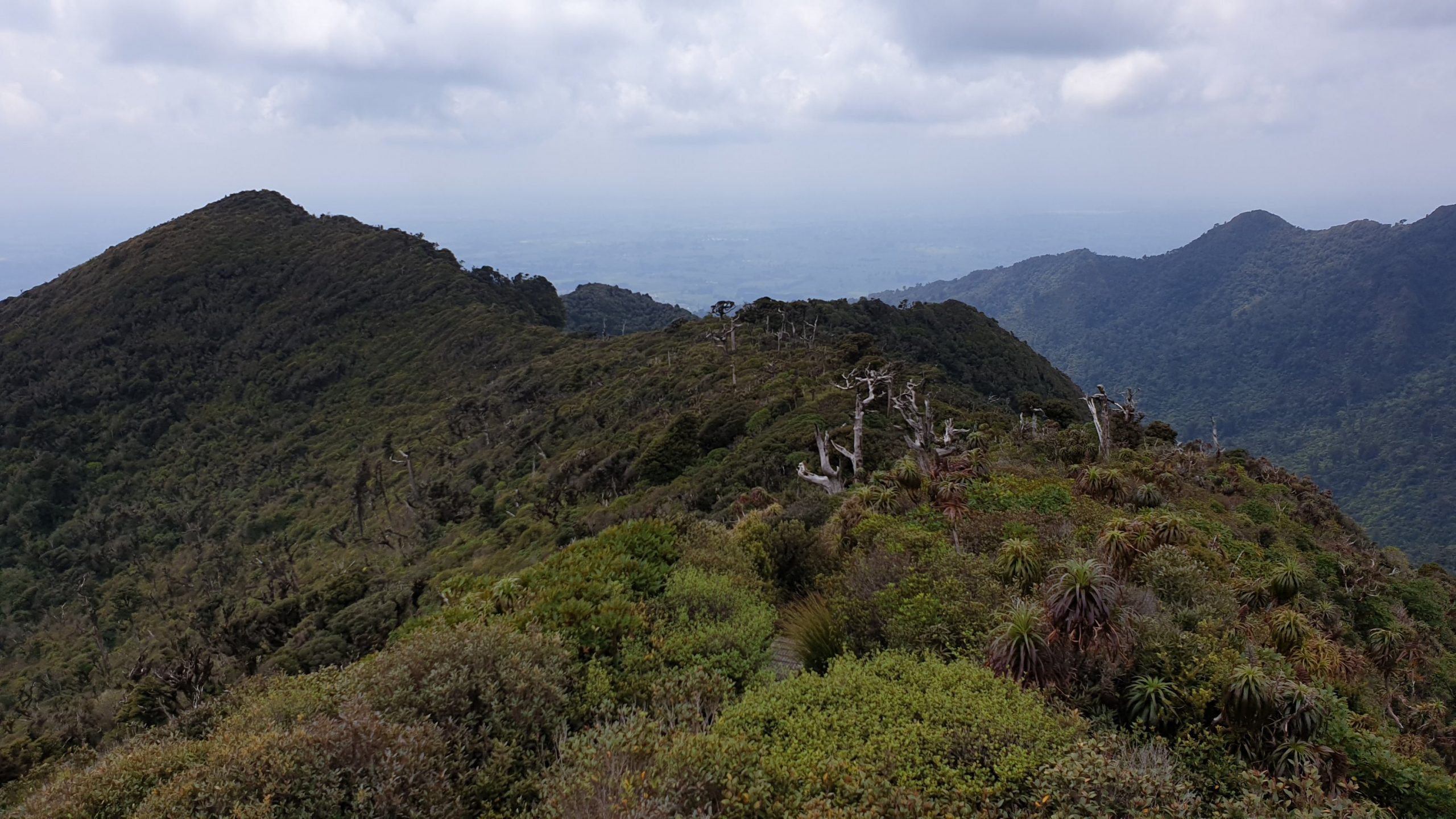
Day 43
1 December 2019
Km 12
Cumulative Km 511.5
Miraculously it still hasn’t rained, which is such a big blessing for coming down this mountain!! I need to review my weather forecasting app as the last 2 days should have seen a fair bit of rain. We woke up, after not much real sleep, to a misty and cool morning.
The first part of the hike is along boardwalk and stairs to reach the Hihikiwi summit at 900m. The view is not for very far due to the mist.
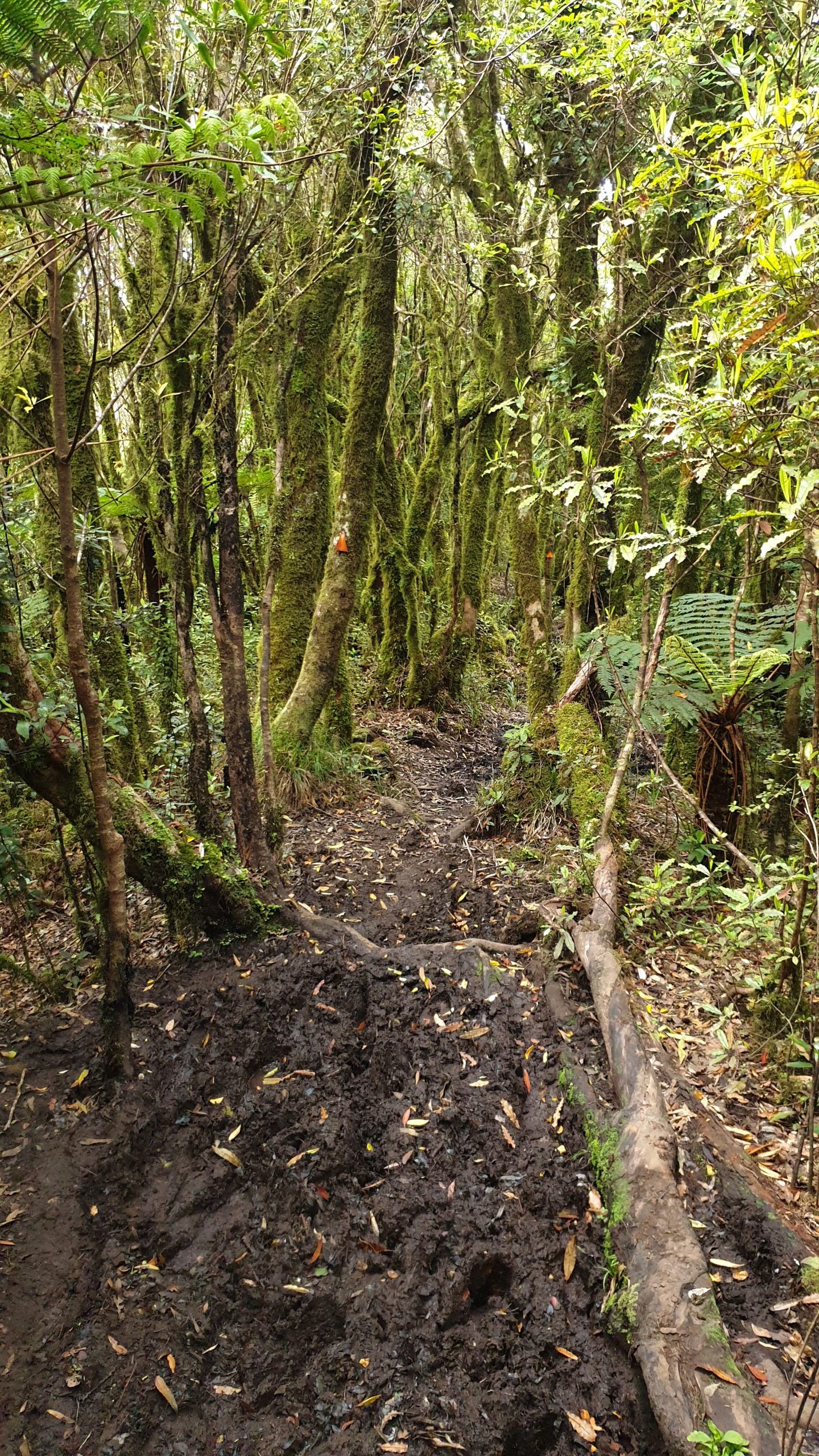
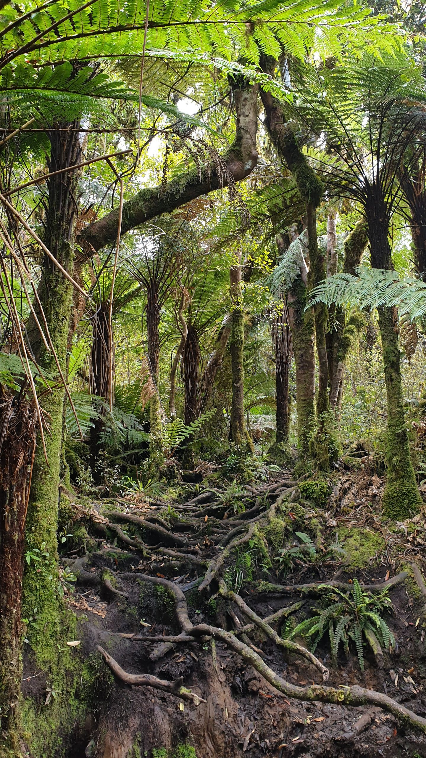
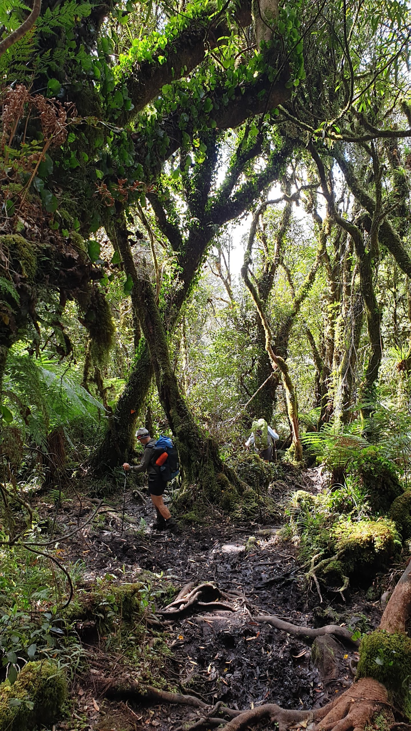
We then commenced our descent, which of course is through a valley, so it’s a steep downhill, followed by a steep uphill and then all the way down very muddy, root covered goat tracks. The recommended time was 3-5 hours. Moritz did it in about 3.5 hours while myself and 2 new friends- Kiwis- Karen and Frances made it in 4.5 hours. This included pulling Karen out of knee deep mud!
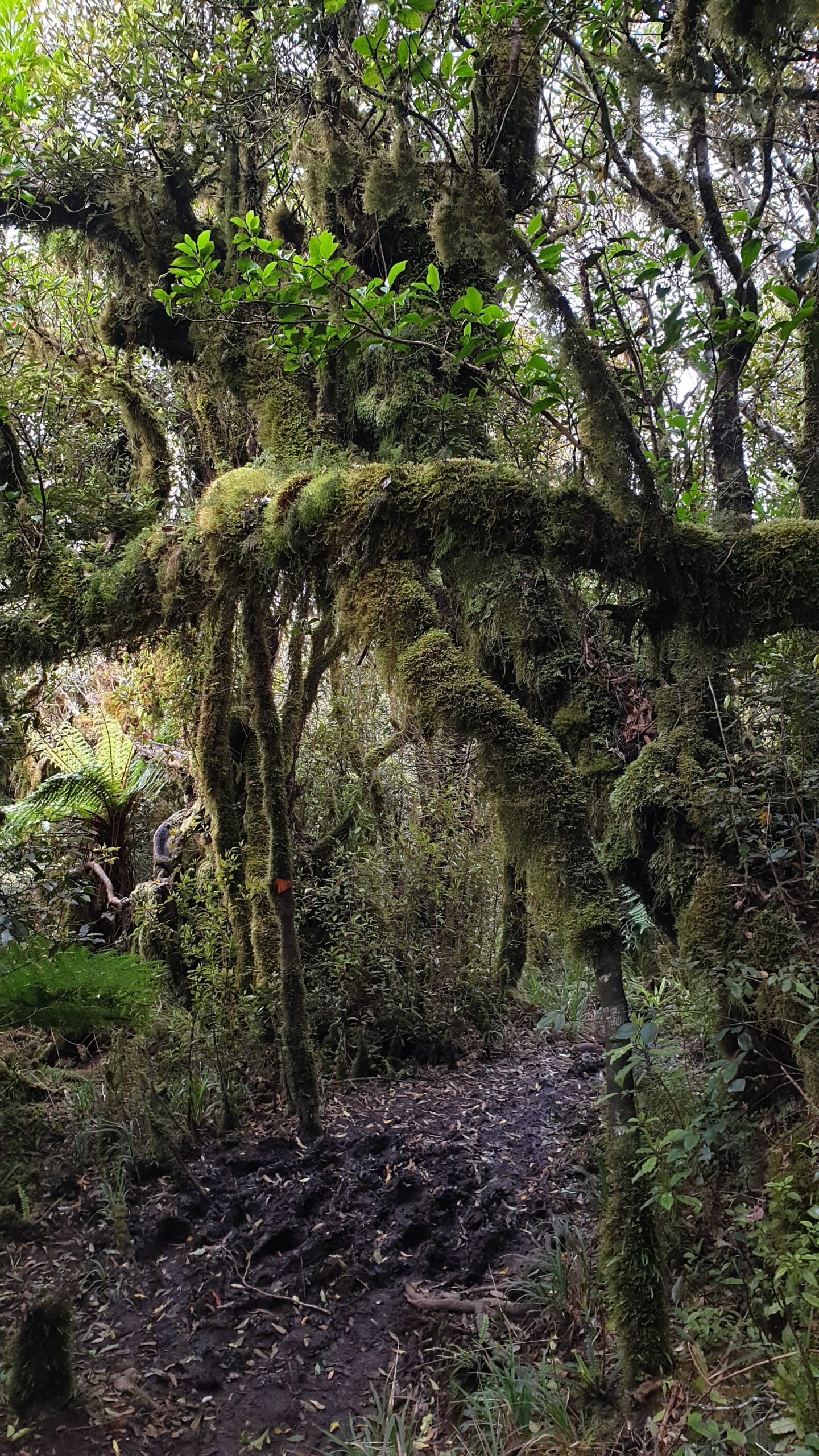
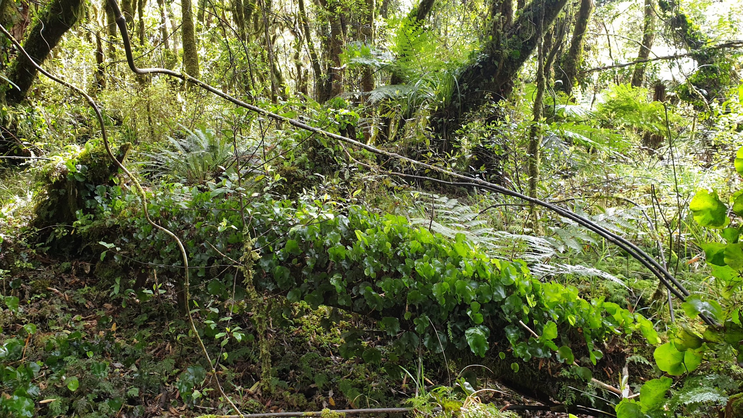
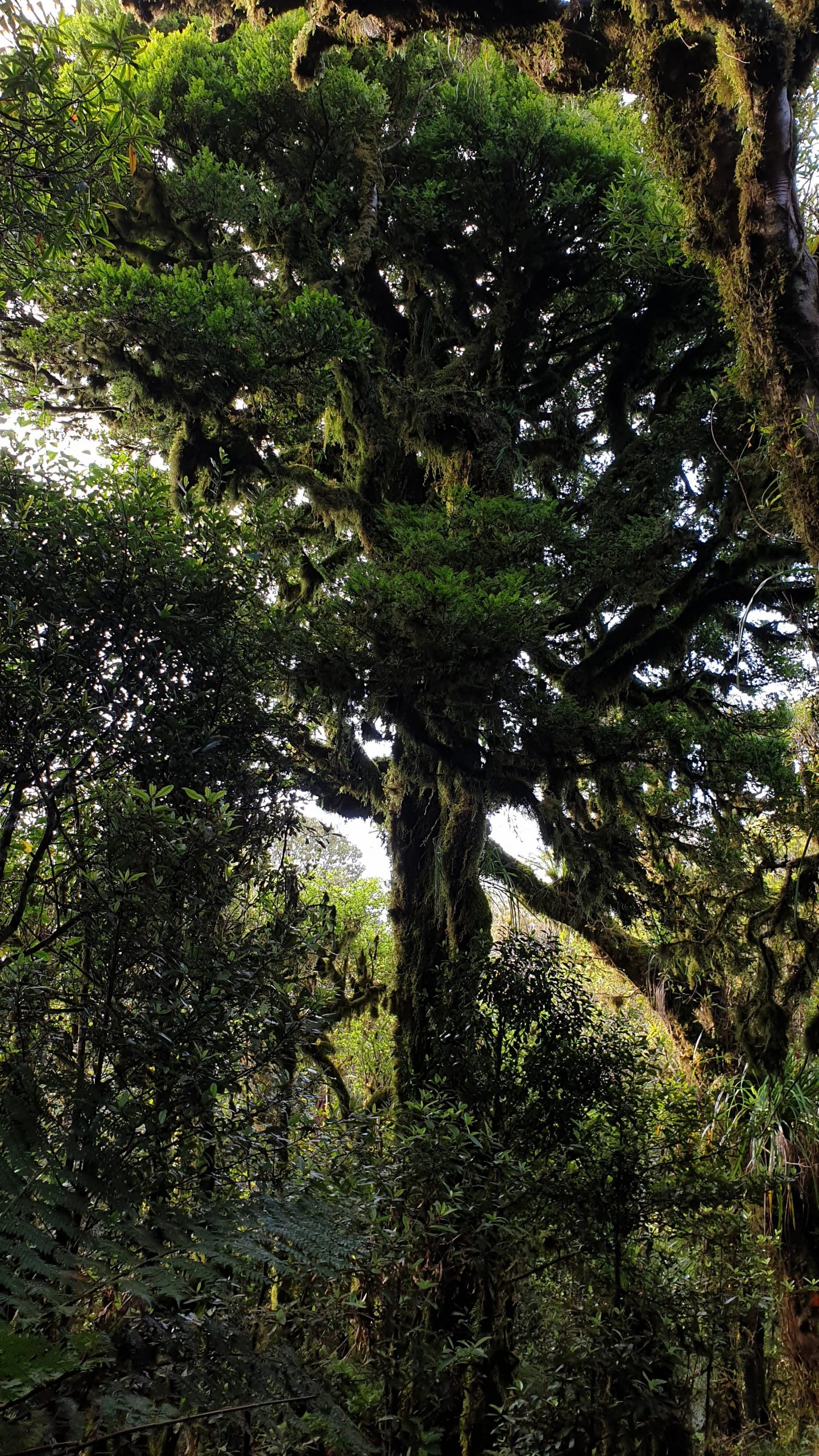
The forest was a lovely moss covered one and has a lot of bird conservation projects happening. The trees near the summit are also visibly shorter than we have seen before due to the elevation.
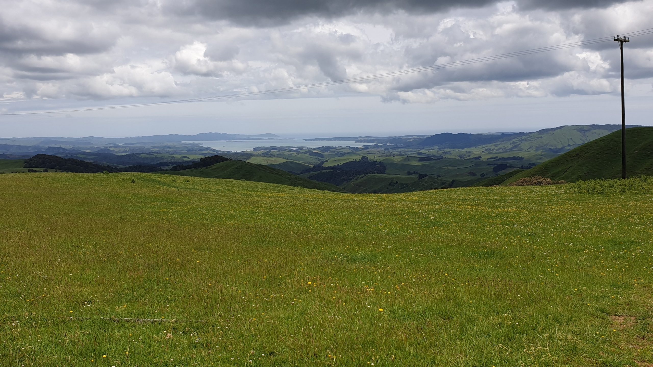
It was great to be able to rinse mud off in the stream at the bottom of the climb. We then had lunch and headed off on 12.5km of road walking. We did about 7km when we were picked up by a local guy with a van to fit all 4 of us and packs in! This was great! So nice of him, and he even went out of his way to drop us off at the door of the trail angel where we were staying.
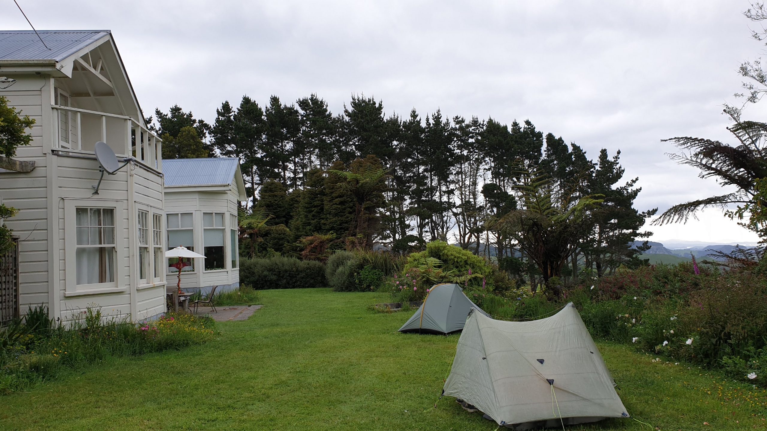
Cassey, our trail angel showed us around her property bit, we had toilet and hot shower and the best surprise was a home made pizza and beer. I swopped my beer for another piece of pizza 😉
Day 44
Km 30
Cumulative Km 542
Seeing that Cassey has chickens she was nice enough to share eggs with us and even left us a packet of strawberries with a Merry Christmas message on them!
Today’s plan was pretty ambitious, for me anyway. It was the longest day kilometre wide, bar on 90 Mile Beach, which was all flat of course. The plan was 32km. The day itself was pretty varied, between forestry roads, bush track and farm crossings. There were some very sticky, clay mud sections, probably more than we anticipated.
One of the very “TA” moments of the trail was when we had to cross 5 x pretty steep valleys across farmland just to make it to the airstrip which was at a very similar elevation to what we were at the start. The running joke always is… if there is a hill or mountain, then the TA trail WILL go over it!
There was a river crossing that we did, me in my hiking shoes which were already wet, though my feet did not love this decision. When I took them off at the end of an 11 hr day they were shrivelled and very sensitive. Lots of pain in the base of the foot.
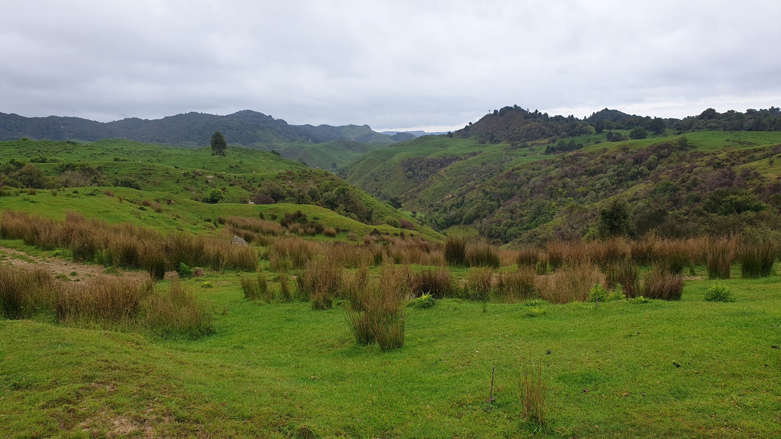
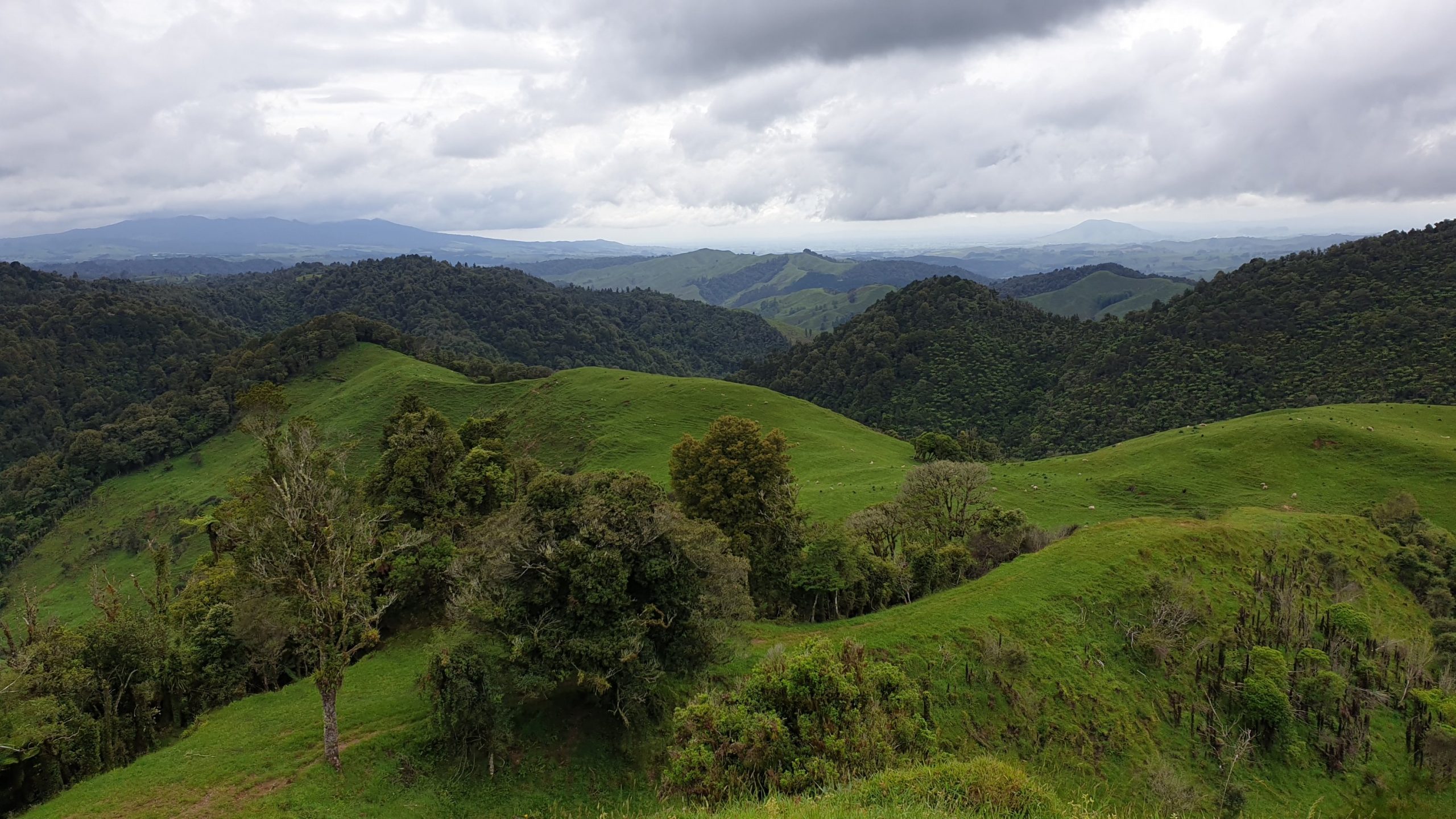
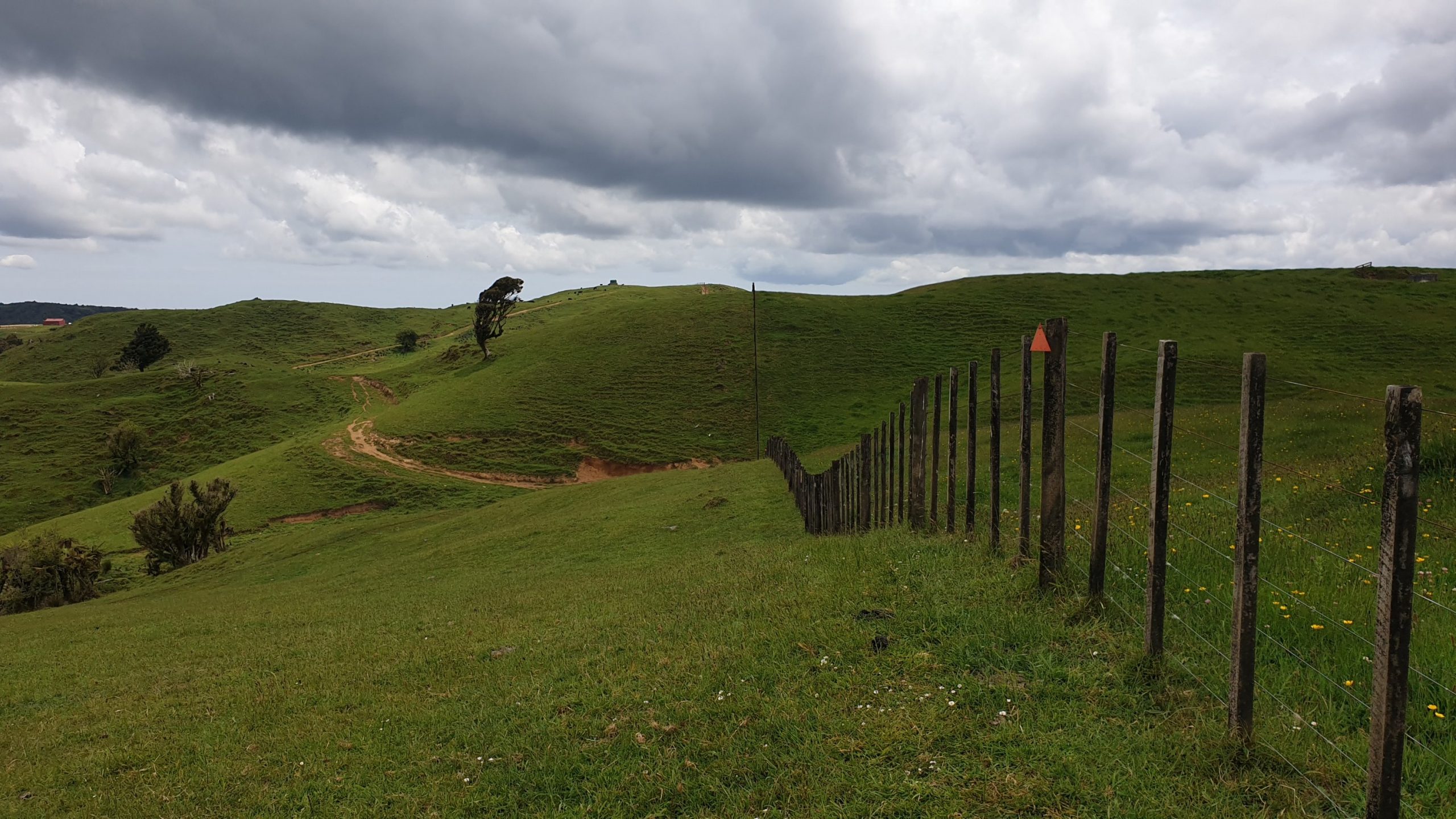
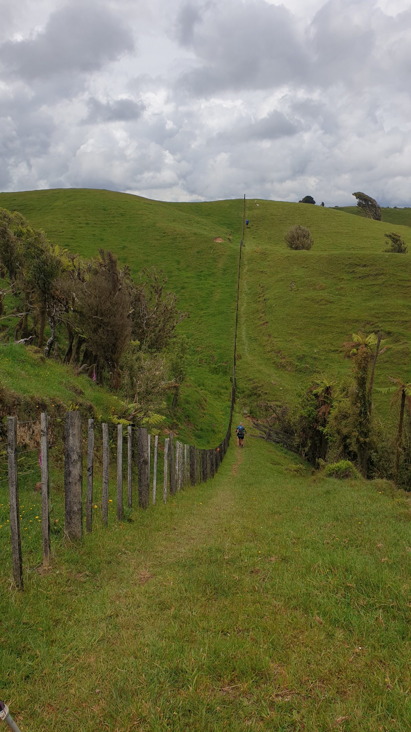
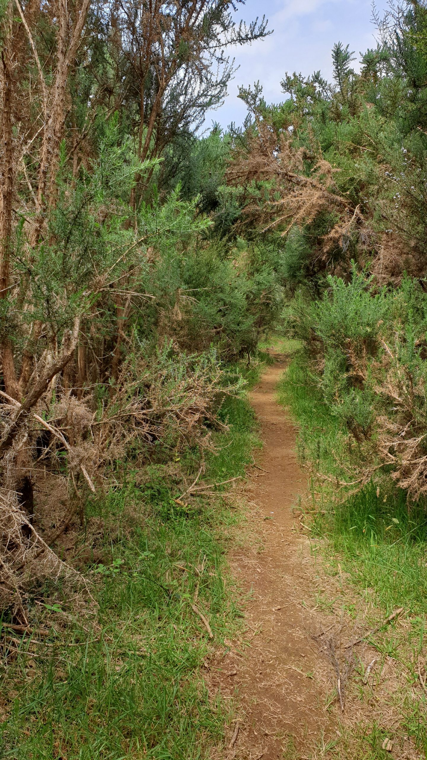
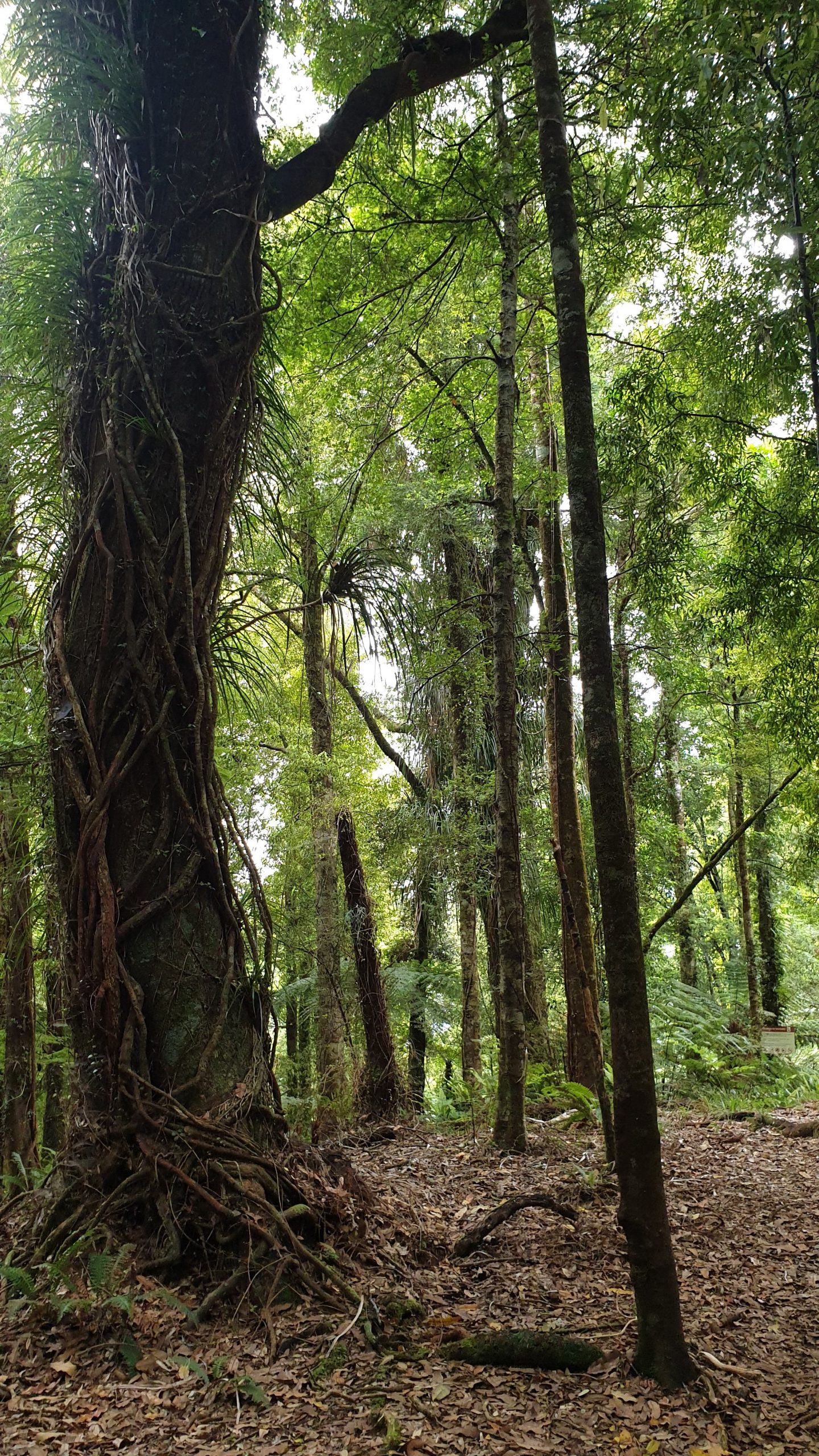
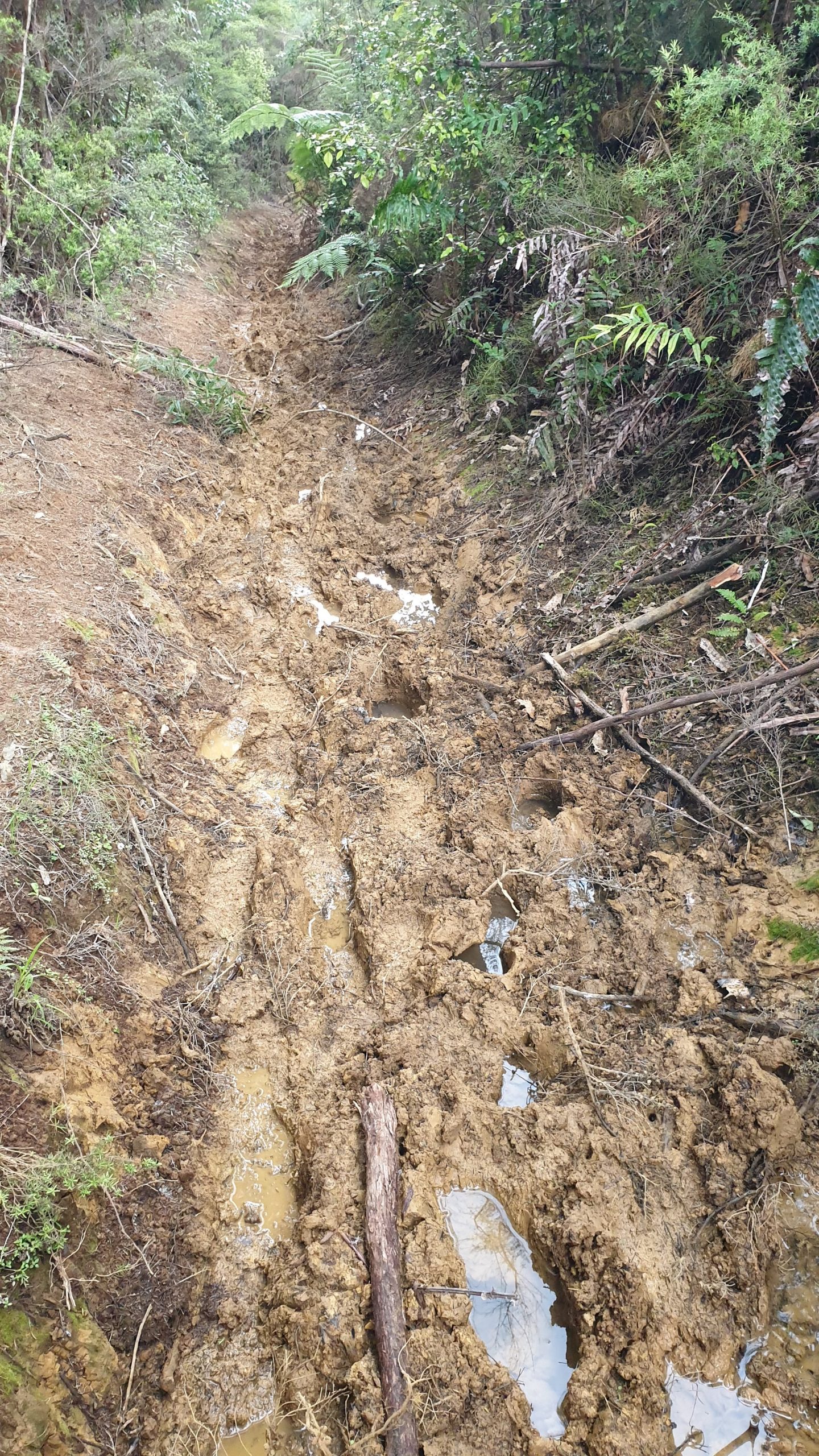
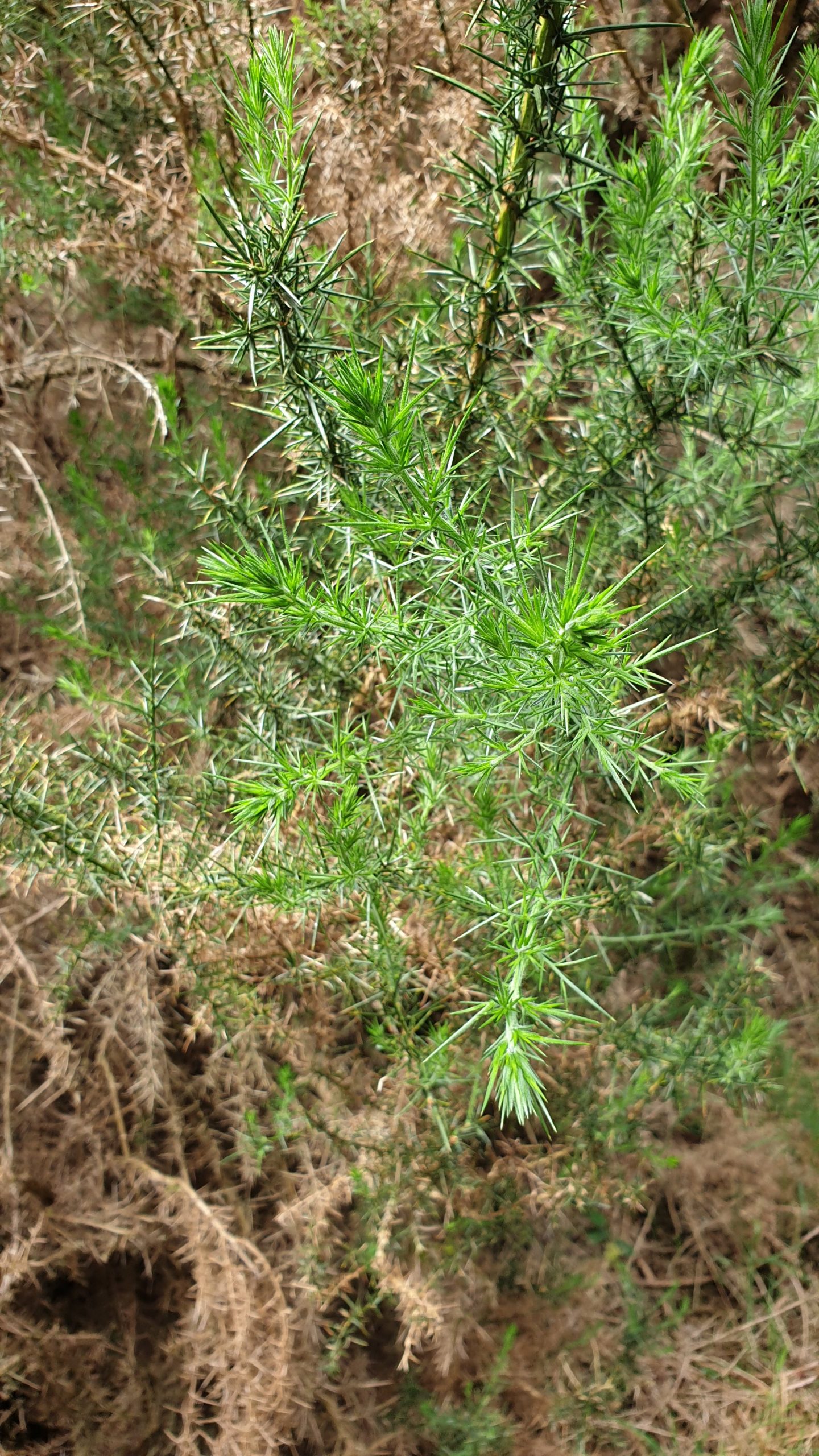
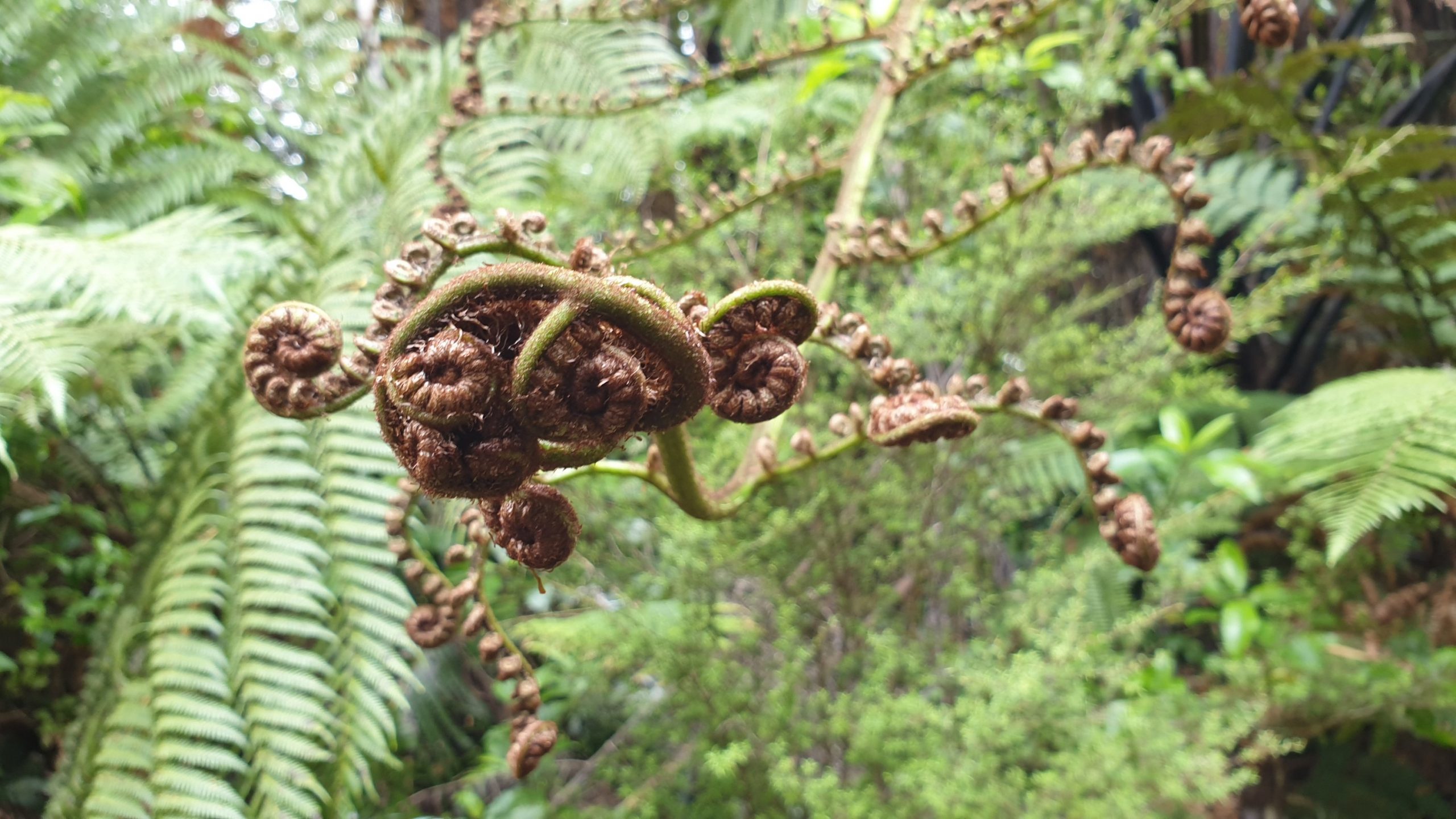
But I diverge. The last few hours of the trail was a mixed horse riding and tramping trail which the horses destroy the clay mud through and make walking through harder than it should be. This trail intertwined with flat forest trail where horses were not allowed and was good walking… all bar a kilometre or so of a gorse tunnel. I have taken some photos so you can see how spiky this weed is.
Just after 6pm we hit the tar road into Waitomo. Moritz had worked himself up for a pizza, but we had a deal that if we got a hitch then we would go, if not then we would stay at a cheaper campsite just 1 5km out of town. A few cars passed with no luck, until a Maori lady and her daughter stopped and packed us into an already packed car! She even took us all the way to the YHA!
At the YHA I found out about a deal where one of the restaurants in the area does a free pick up and drop off, $ 15 buffet casserole, rice and potatoes and $5 beer, wine or cider. Winning!!
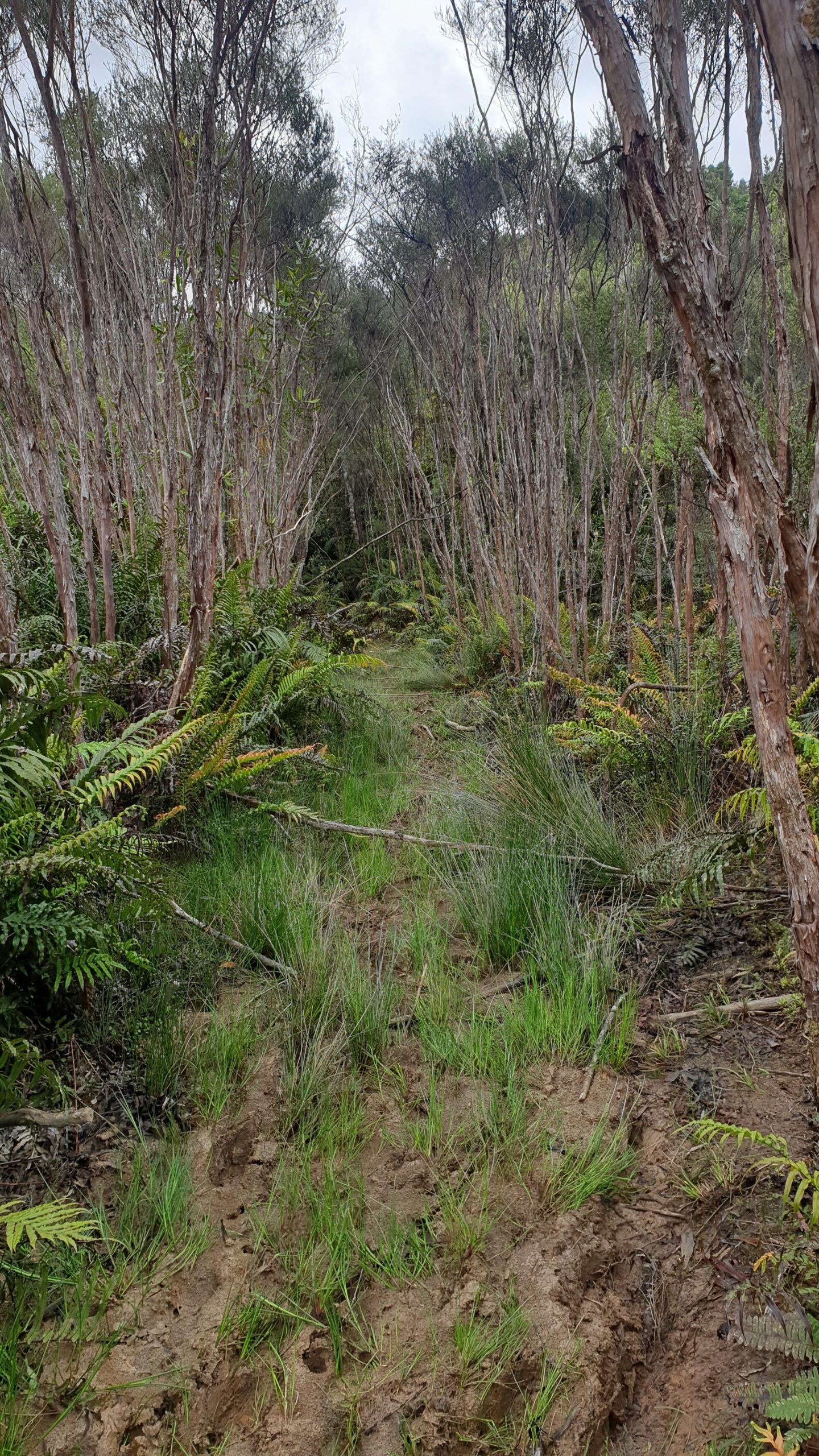
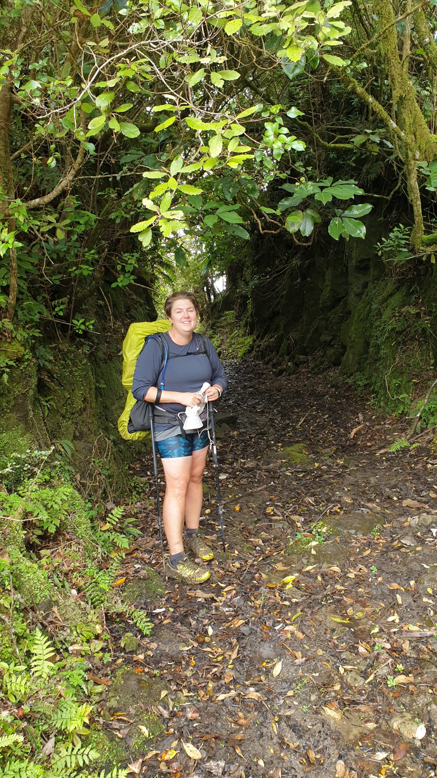
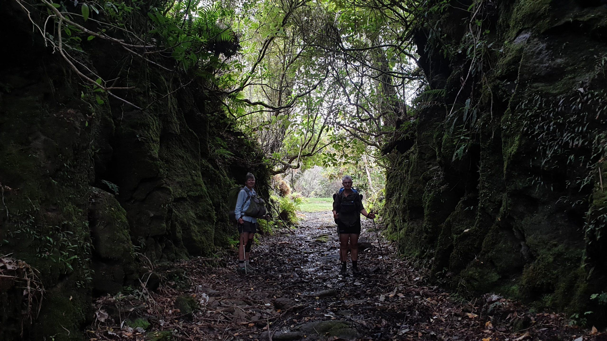
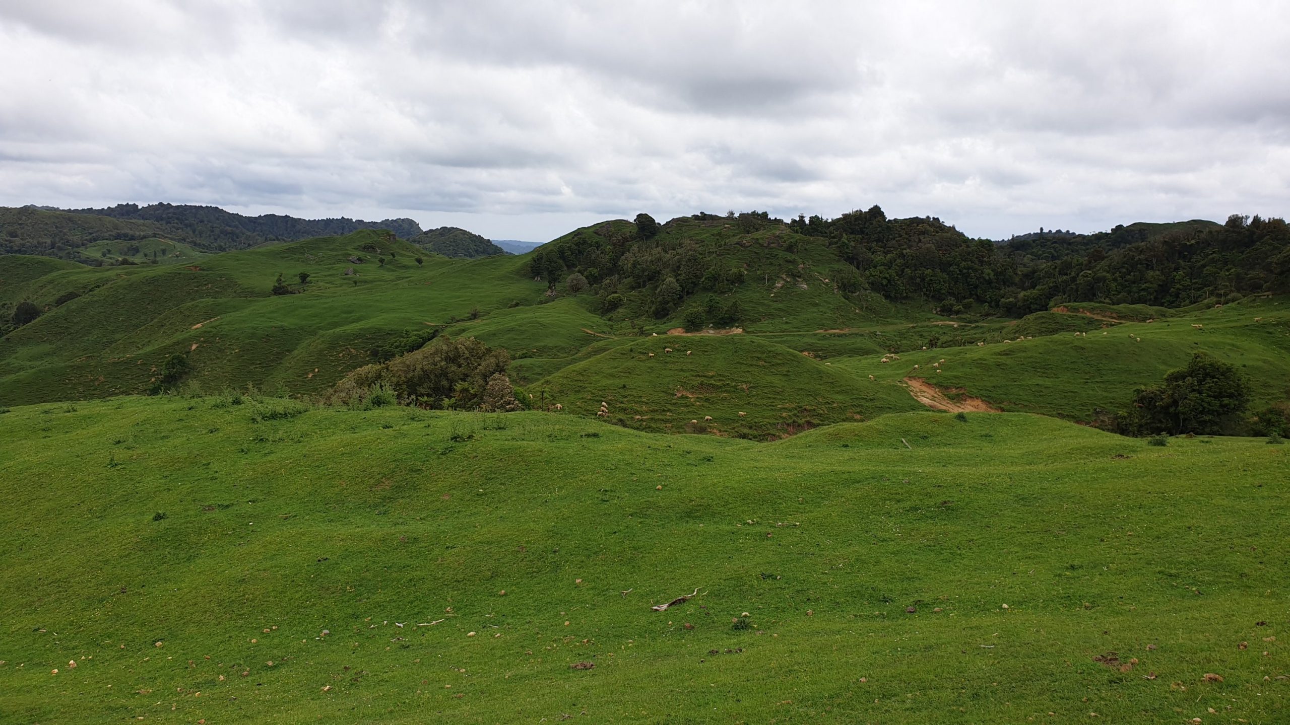
Day 45
Km 0
Cumulative Km 542
Today turned into a rest day for me as my soles of my feet were still very tender and sore. So I organised a bus ticket into Te Kuiti. 6 hours walk vs 15min by bus!
Moritz did the Waitomo Glow worm Caves Tour in the morning, then we met up for breakfast. He hit the trail at about 11am and I headed to a different cafe for another coffee. On my way down the road I spotted Karen and Frances with Ro and D. This was great as Frances had very sore ankles and camped at a flat area in the forest. Turns out she did further damage and sprained her ankle in the slippery clay too!! I told them about the bus and everyone grabbed a ticket and then we were off to grab food and coffee.
We stayed at a trail angel in Te Kuiti, 7 of us in total, so it was a full house! We took the opportunity to by and cook dinner and breakfast together, so that was great!
Sheep World to Orewa
Day 31, 32
Km 28
Cumulative Km 443.5
The one thing we definitely didn’t want to do was to walk the 2km, uphill and on a very busy SH1 to the continuation of the trail, from Sheep World. So, we tried to hitch, though not many cars going at 100km/h are that keen to stop. We nearly gave up when the tiniest of cars stopped. At first we weren’t sure if it was for us, but it was!! We giggled a bit and wondered how this tiny car would get us and our bags up the hill- but it did!! It also saved us a horrible highway road walk.
The next two days were in similar territory, quiet a bit of forestry roads, mixed with trail and dirt roads. Some sections through the forest and some portions with steps.
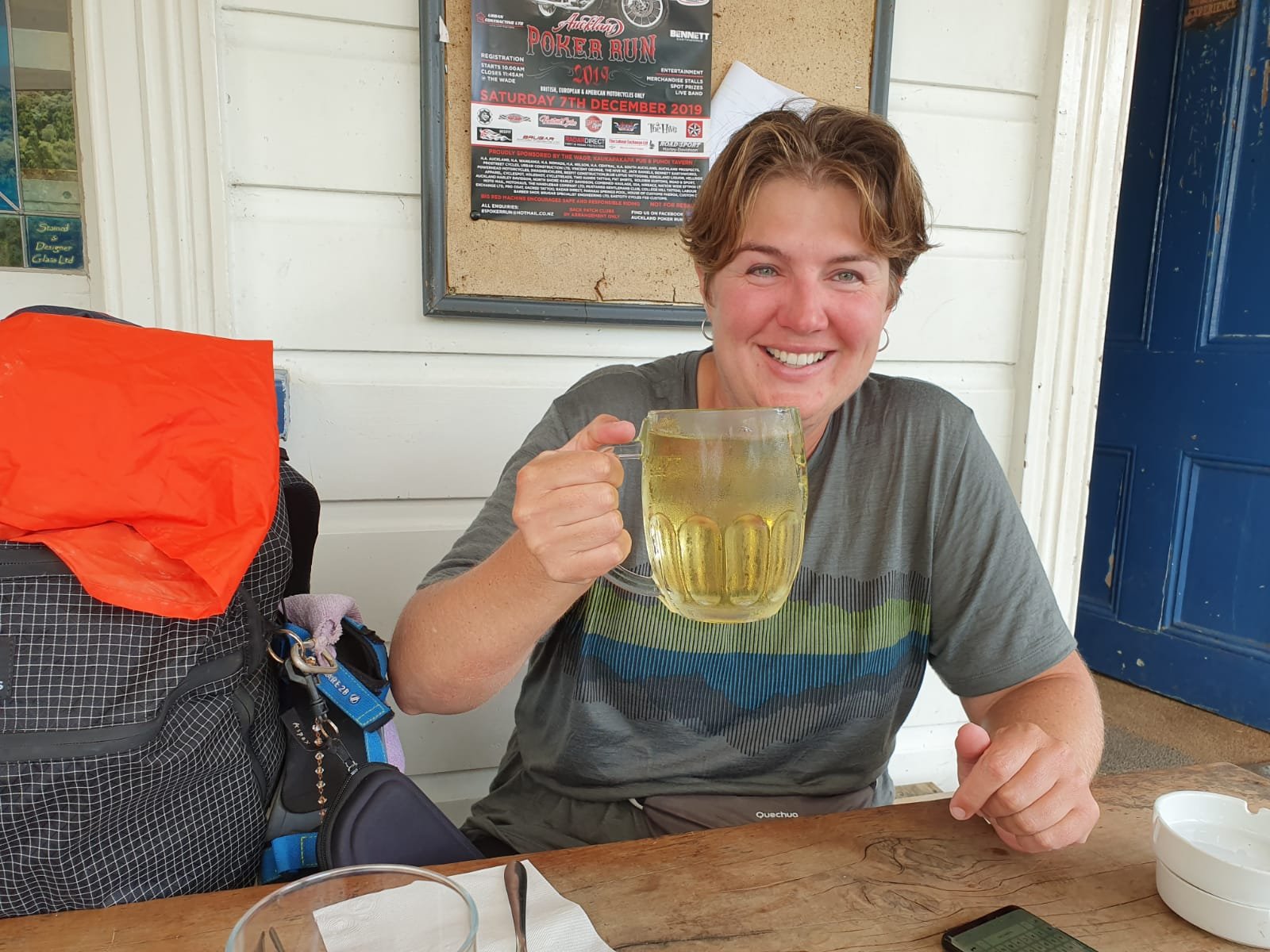
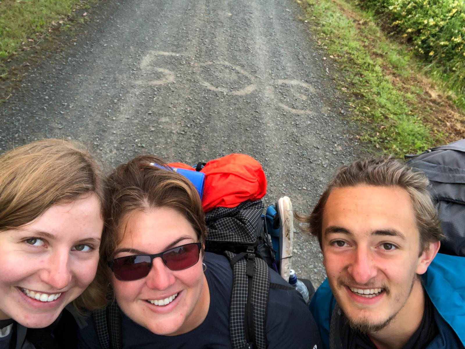
We got into Puhoi just in time for a cold cider and lunch at the pub! It was great and also a celebration of passing the 500km point on the trail today!
We split the section into a 10km , then 18km days. We stayed at Nanekoti farm for the first night and at Pip’s place in Puhoi for the second night.
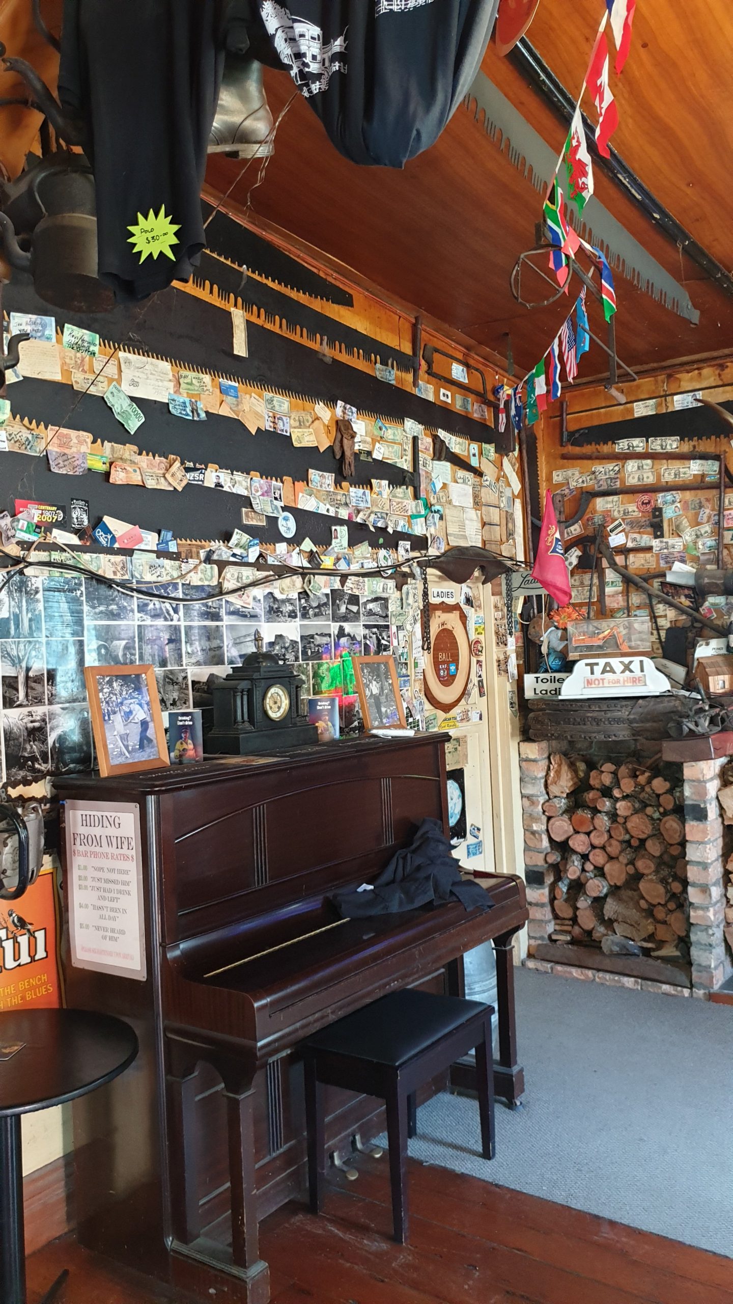
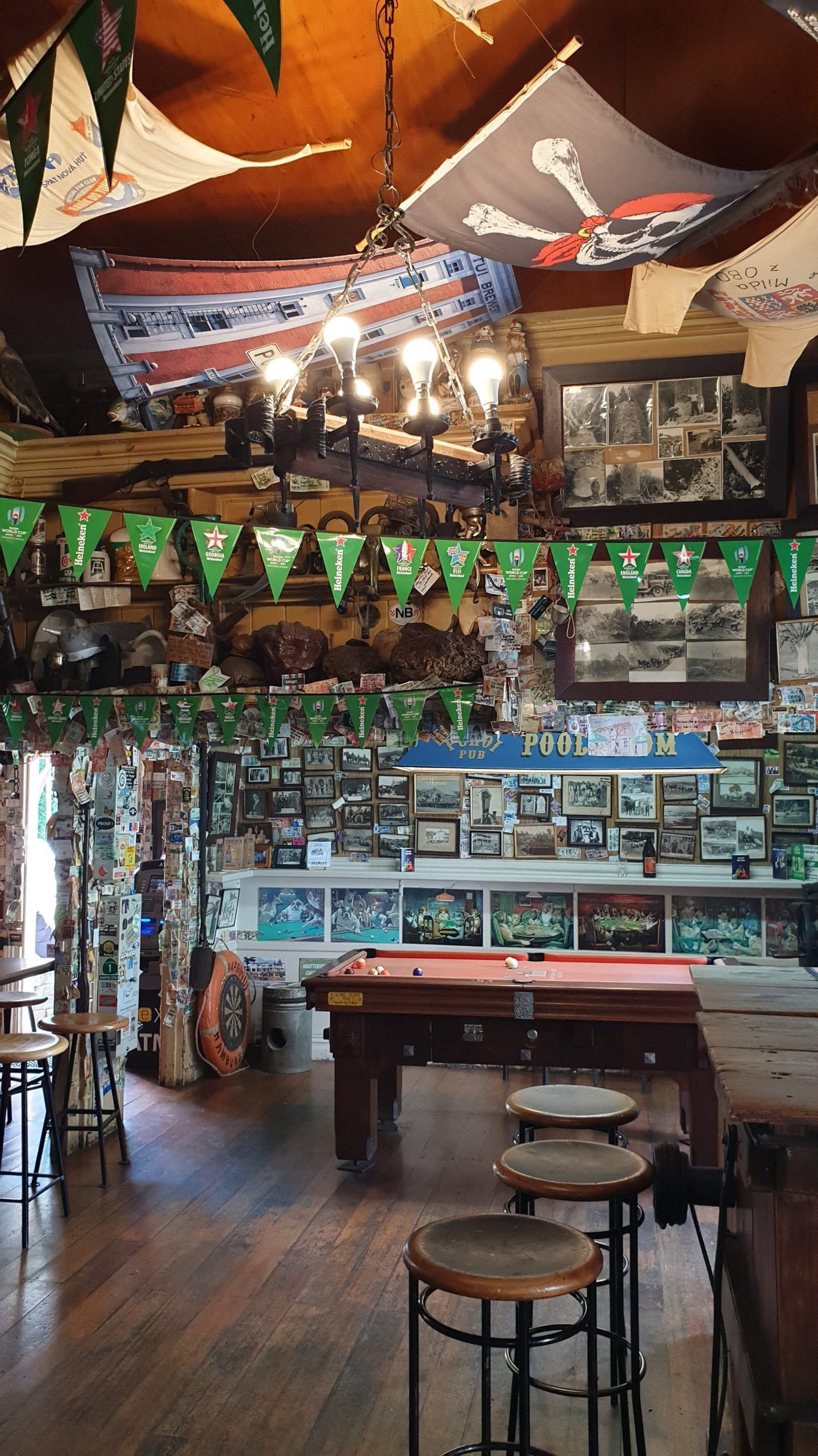
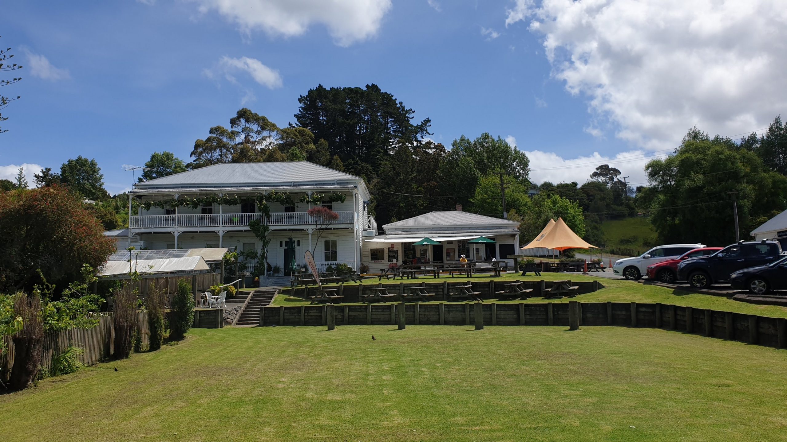
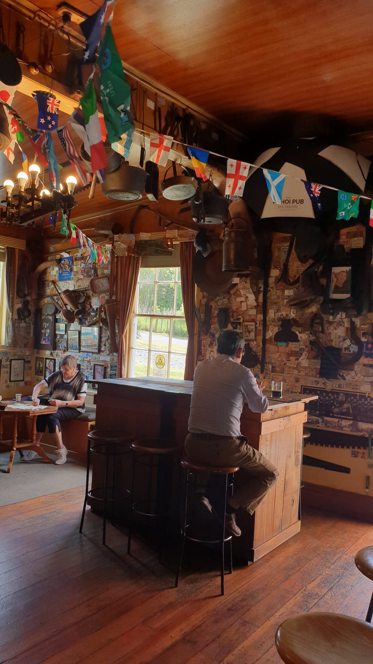
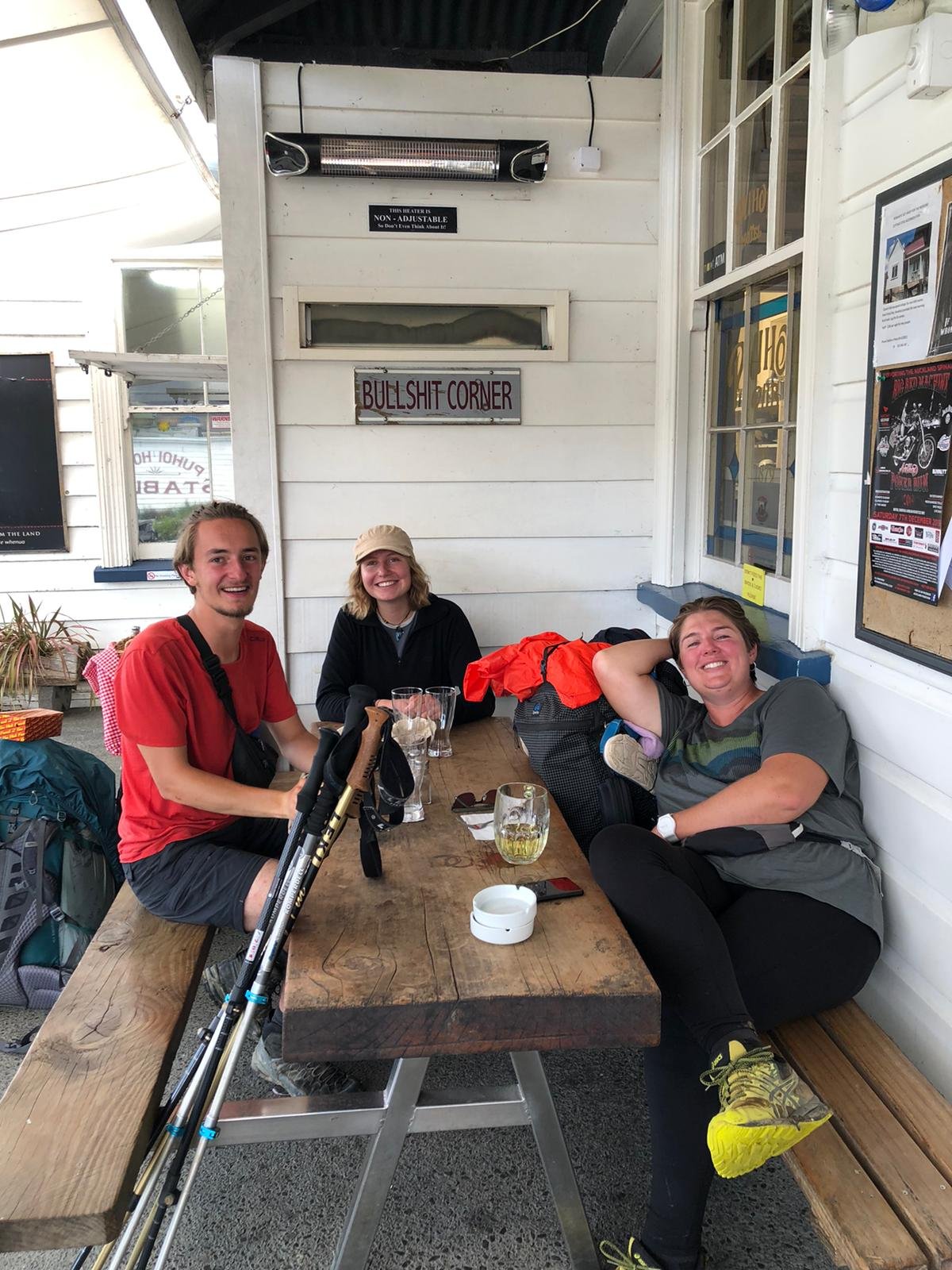
Day 33
21 November
Km 8
Cumulative Km 451.5
The lovely trail angel, Pip, where we spent the night in Puhoi, offered to drop us off in Waiwera. This means we can avoid walking on SH1 and the Hibiscus Coast Rd. This also means that we dont have far to walk.
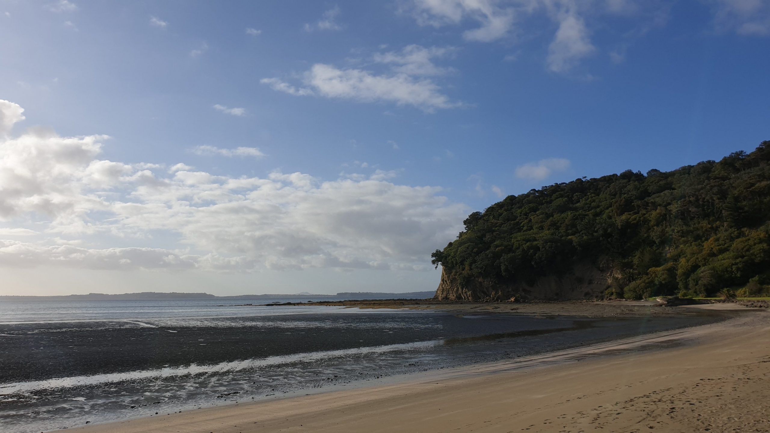
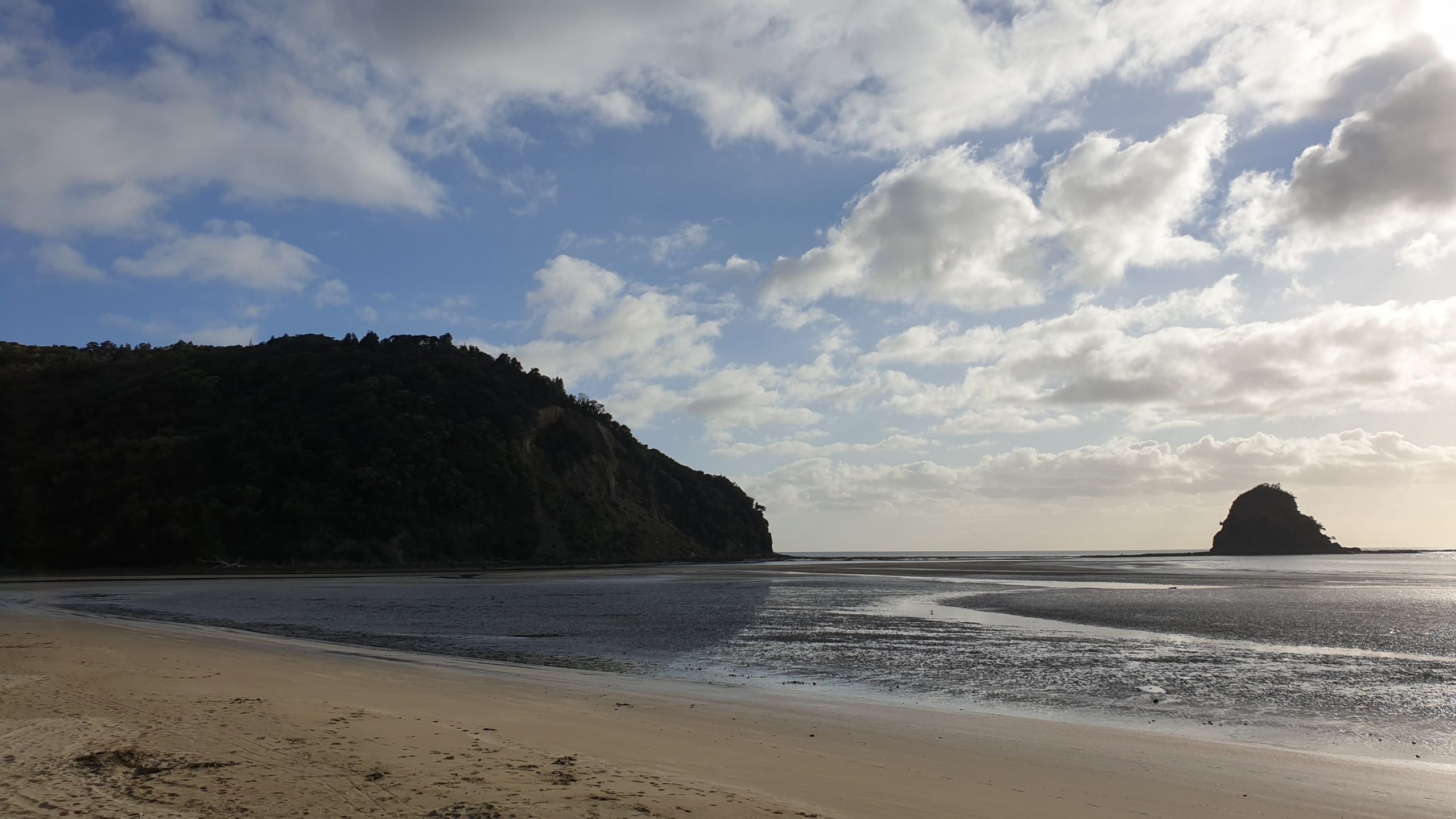
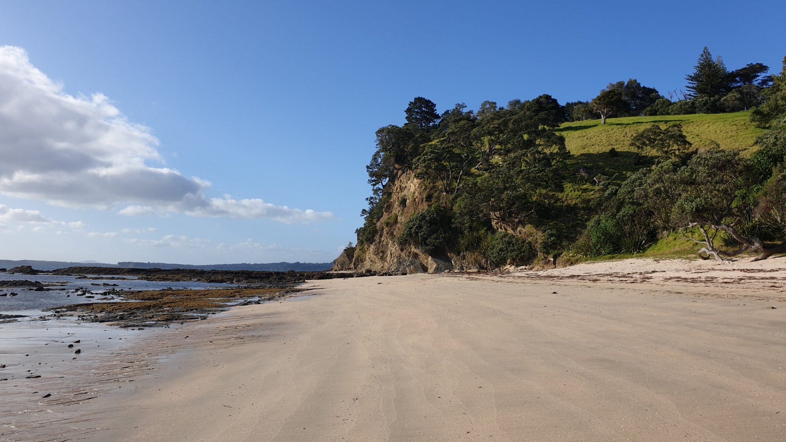
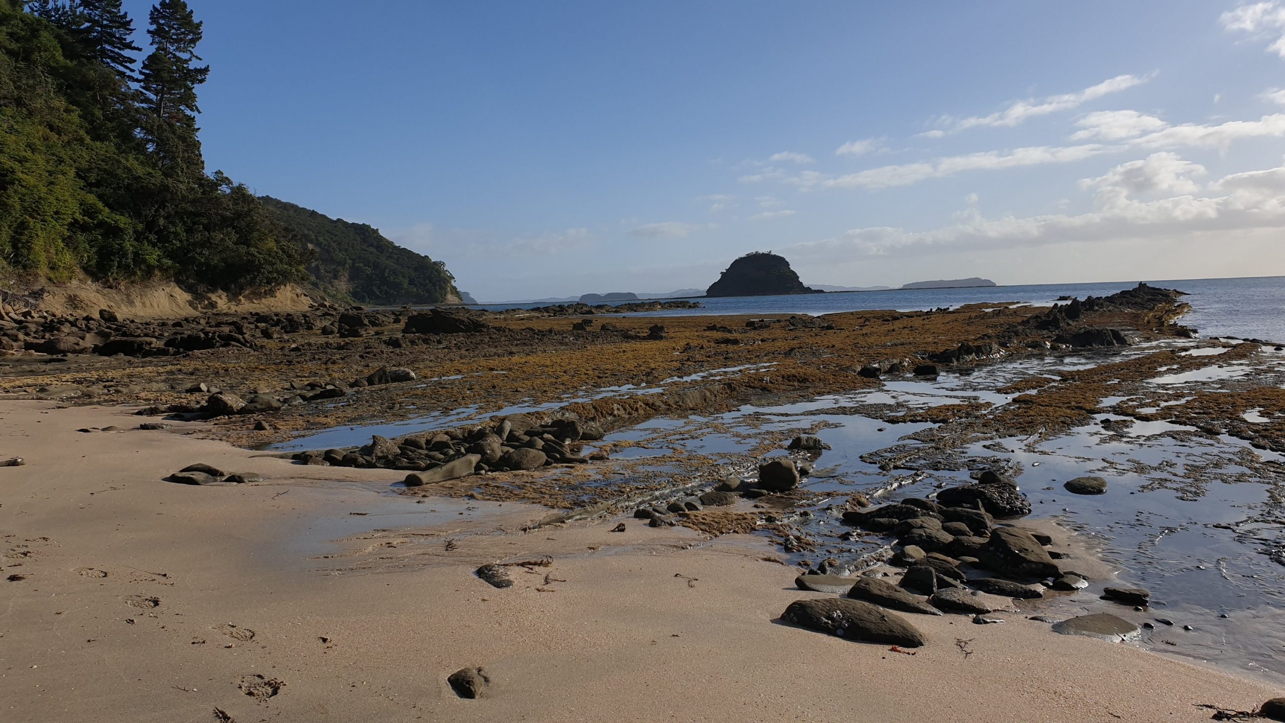
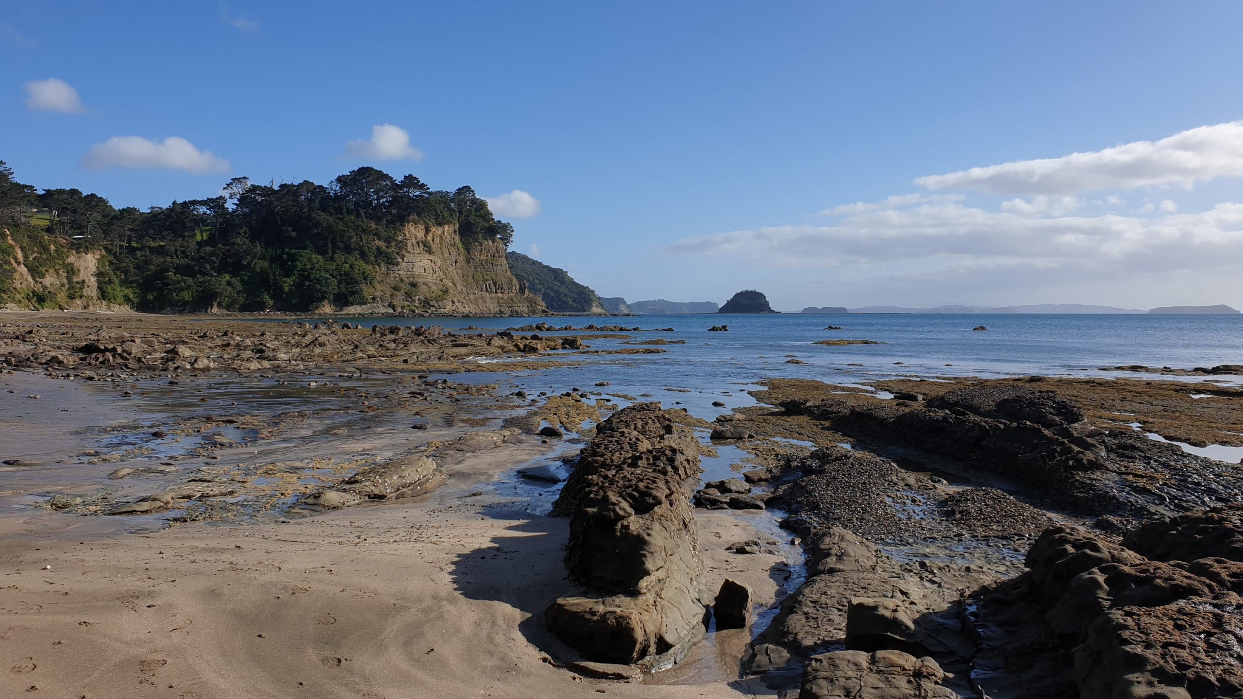
We hit the beach and the rocky outcrops below the steep cliffs at low tide, necessary to pass this route.
After rock hopping we had a few kilometres of beach and then stopped in a lovely cafe in Orewafor coffee and a second breakfast as it was only 10am.
Once we were pretty full we headed to the holiday park, where we got free WIFI as TA hikers as well as a discount rate.
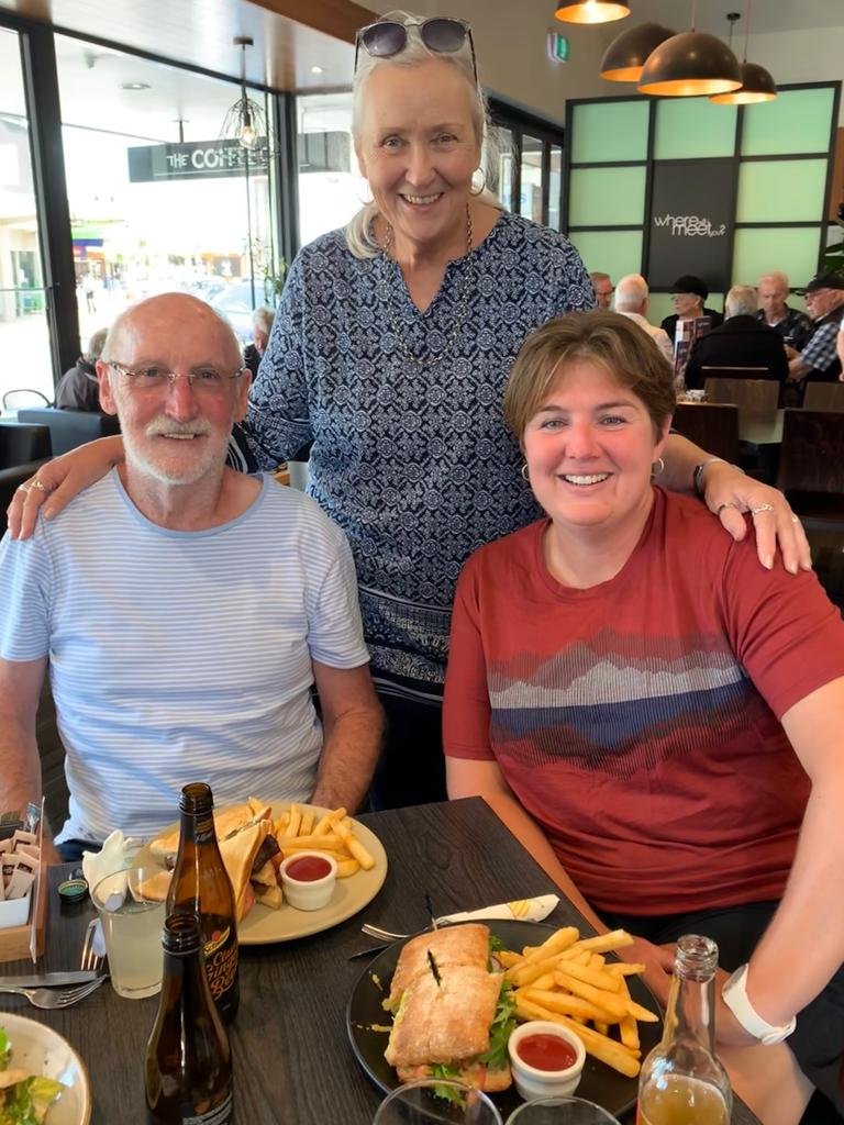
The lovely Pat and Chris were due to pick me up at midday. These are long time friends of my parent’s friend, Pam in South Africa. It’s always good to meet new people. So I was excited! We went to Coffee Club for lunch, which was yummy!
Pat and Chris surprised me and gifted me a big bag of delicious, South African made, biltong to replace the packet that the dog ate a few days ago! It was such a kind and thoughtful gesture! So the biltong saga has a happy ending!
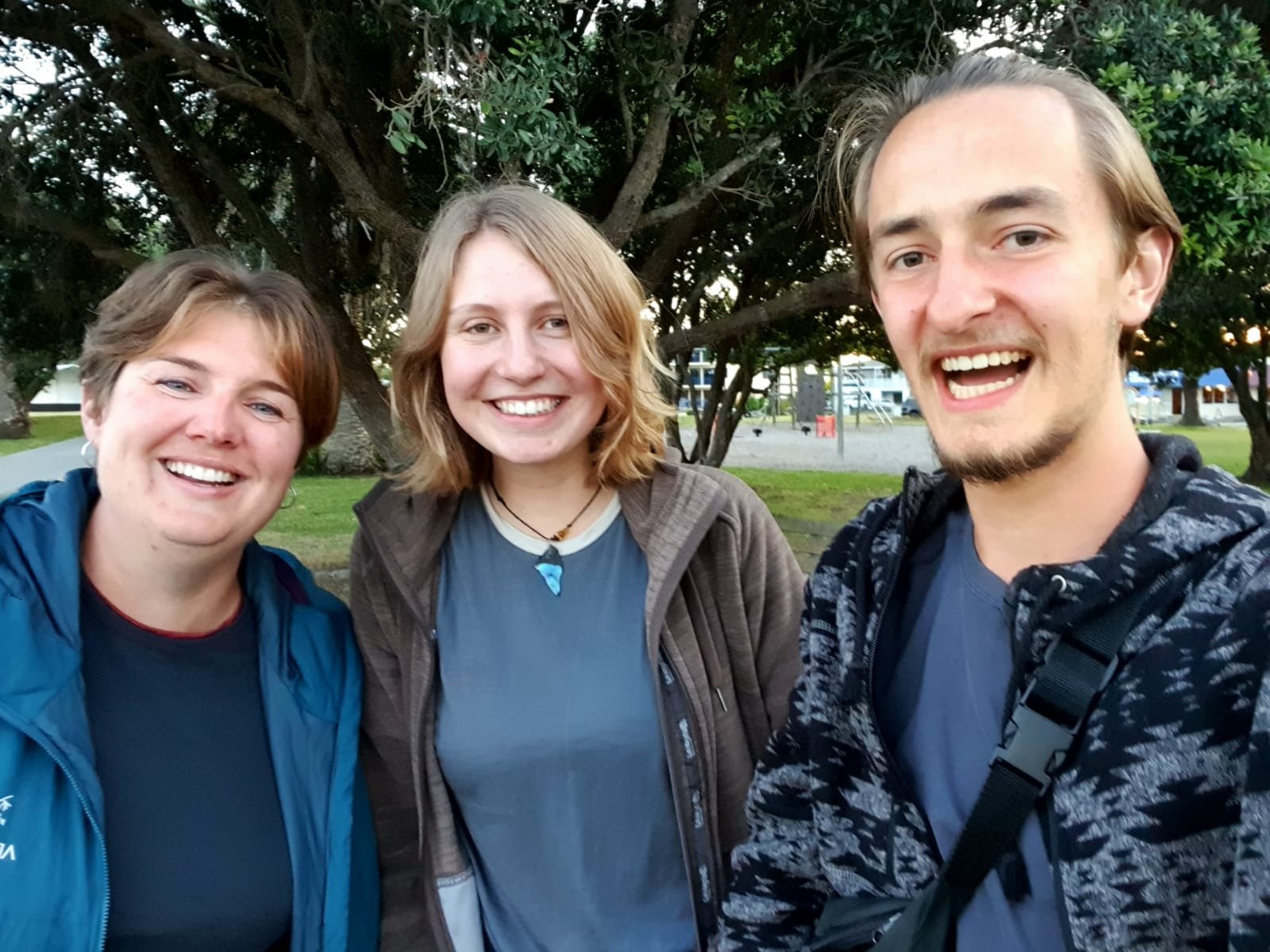
Over lunch I was offered a ride to my aunt’s place, who lives in SE Auckland. After some convincing I took the generous offer and also asked if Marie could come with as she was due to head out by bus to the CBD.
As if I didn’t have enough great food for one day, Marie, Moritz and myself finished off the day with a farewell dinner at a nearby Italian restaurant. We were all headed to different destinations for varying durations. We may meet up on the trail again. So we reminisced about the funny things we have been through or said or did.
Mangawhai Heads to Sheepworld
Day 27
Km 0
Cumulative Km 372.5
We all had a sleep in, in our comfortable quarters at Lyn’s place, had eggs for breakfast and then headed out to a nice coffee shop with Lyn once she had finished gym and we had finished planning for the next section.
After coffee we headed to the shop for some resupply , though I must say it was a bit pricier than before. We had a relaxing afternoon at home, and I got a chance to fix my backpack . One of the arm slings kept slipping all the time and was irritating the shit out of me as this was happening every few minutes!!
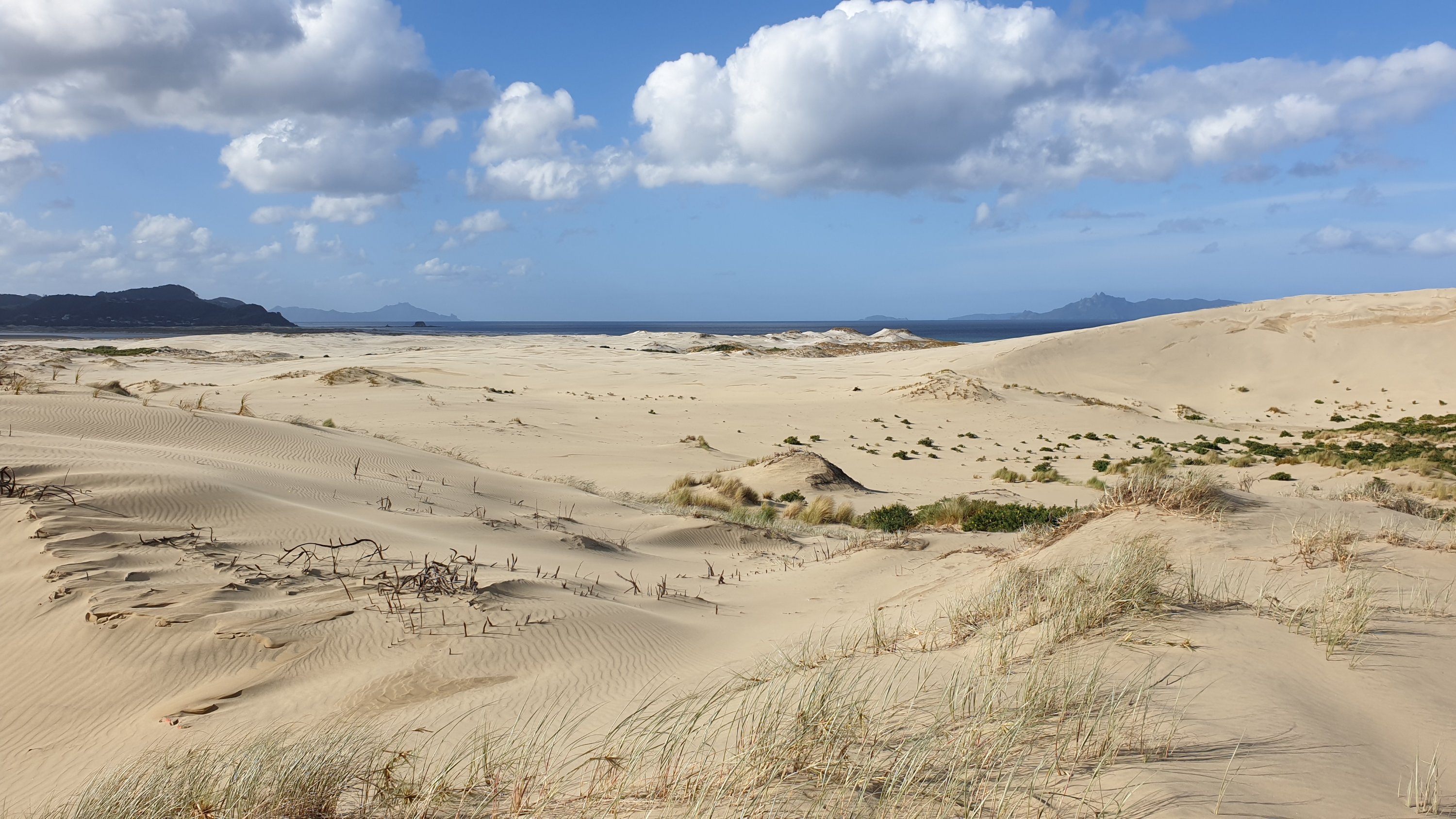
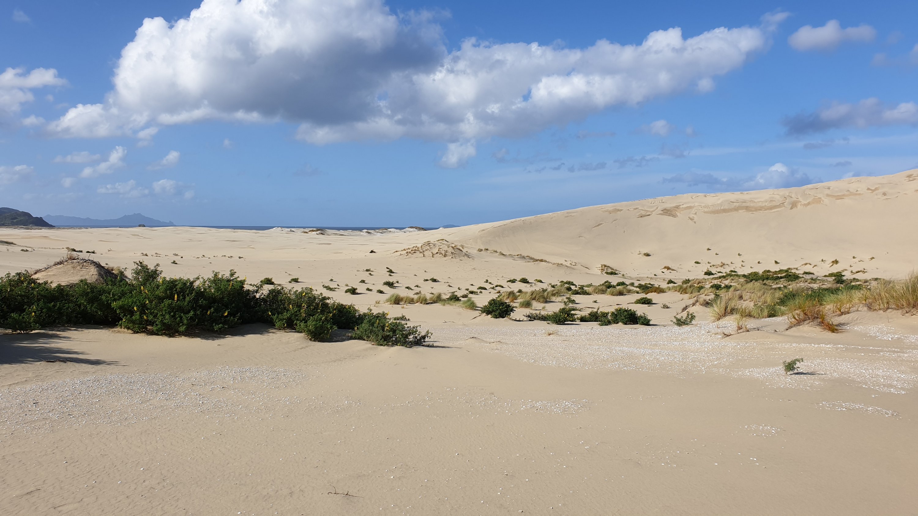
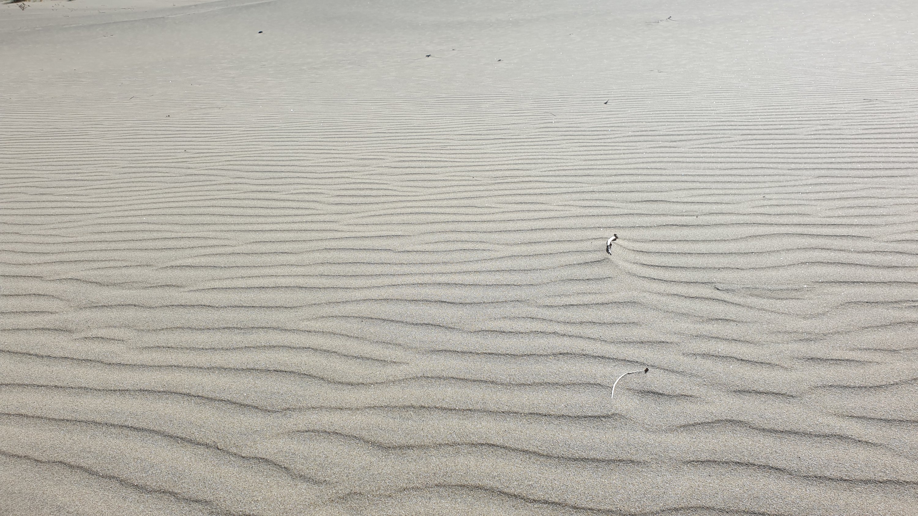
In the afternoon we went to check out the estuary and sand dunes by Lyn’s place.
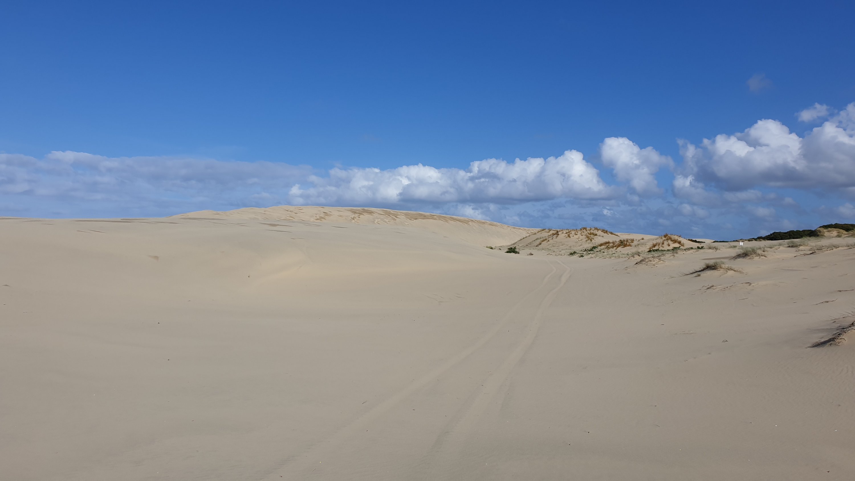
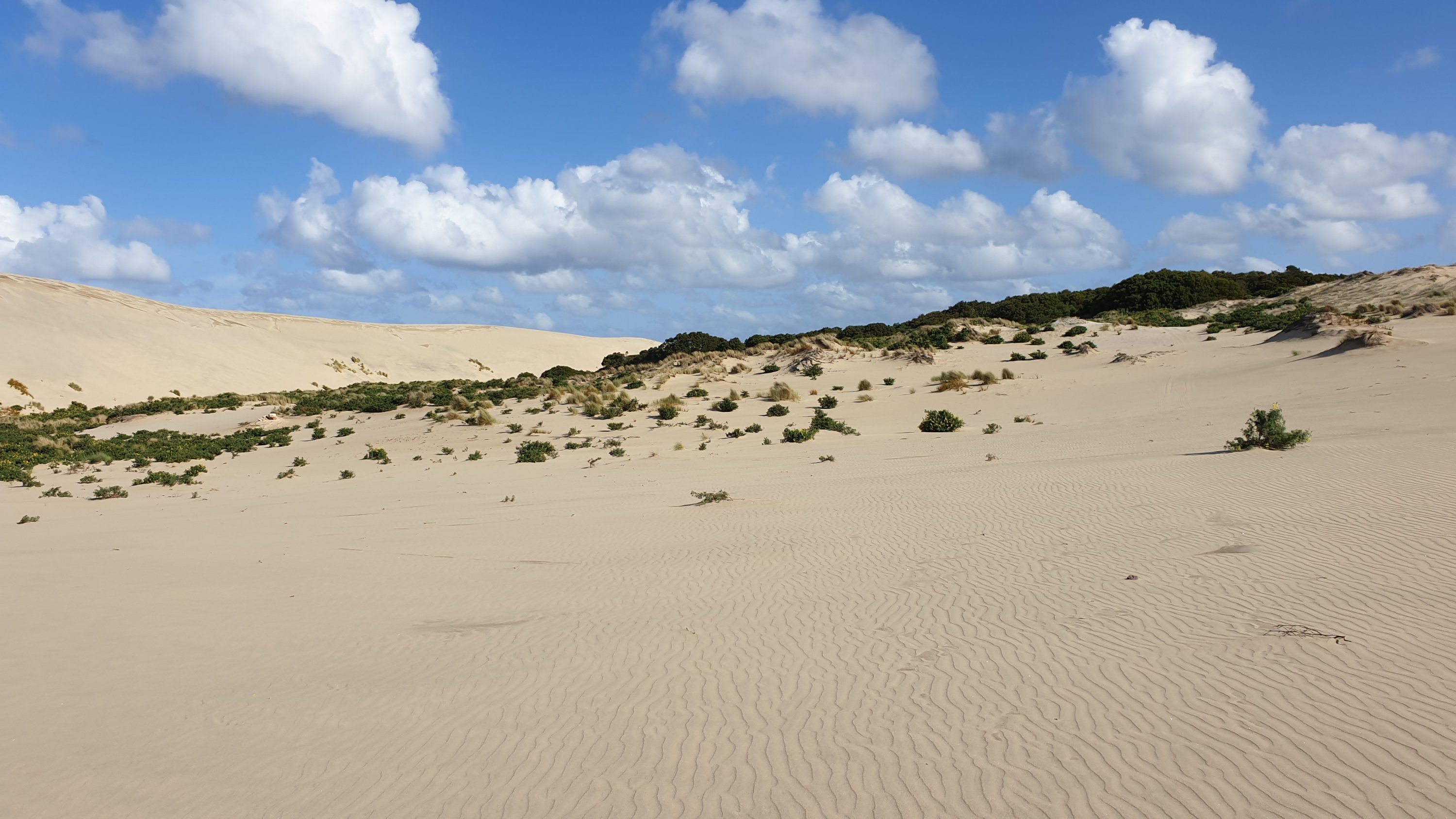
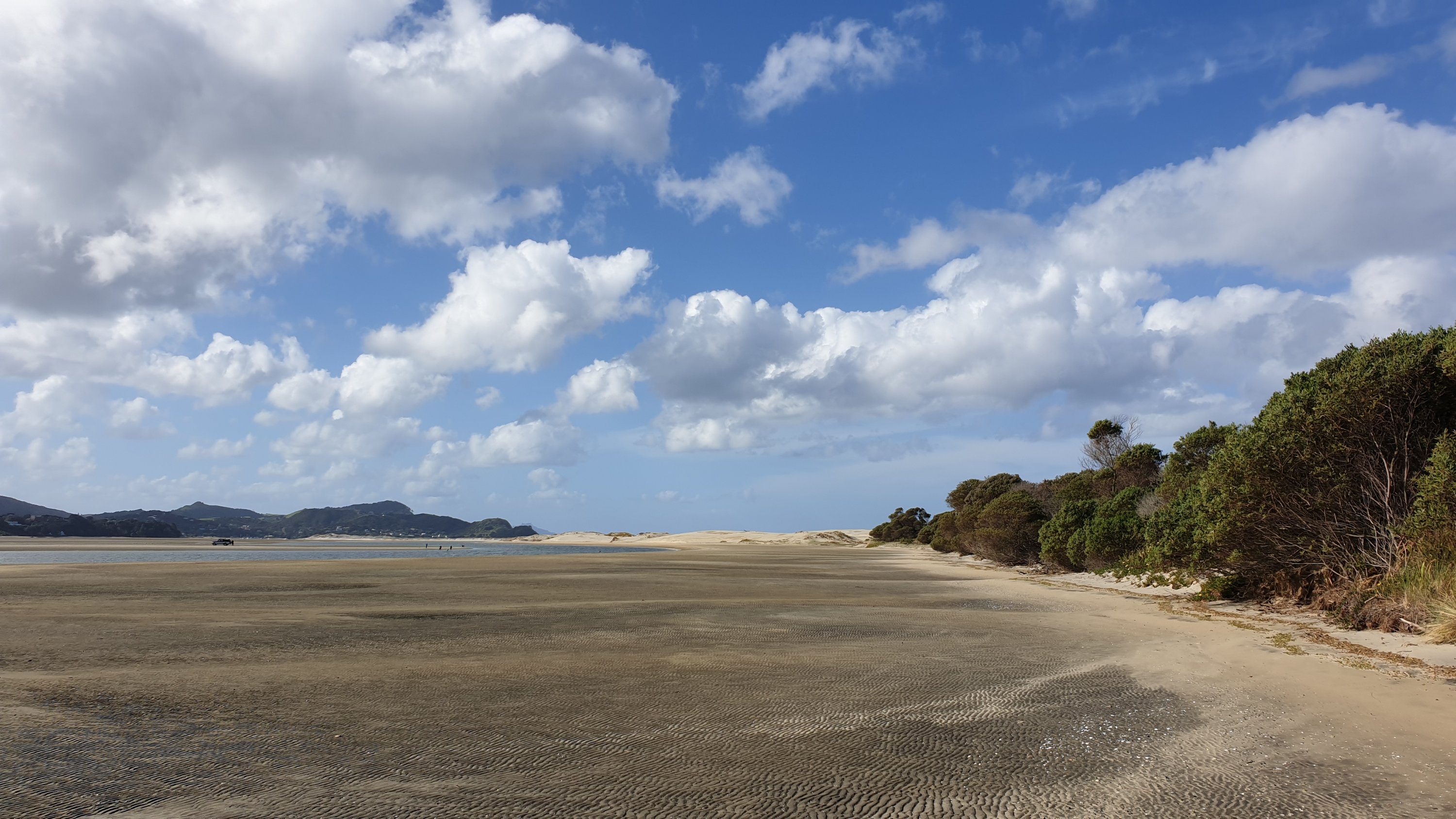
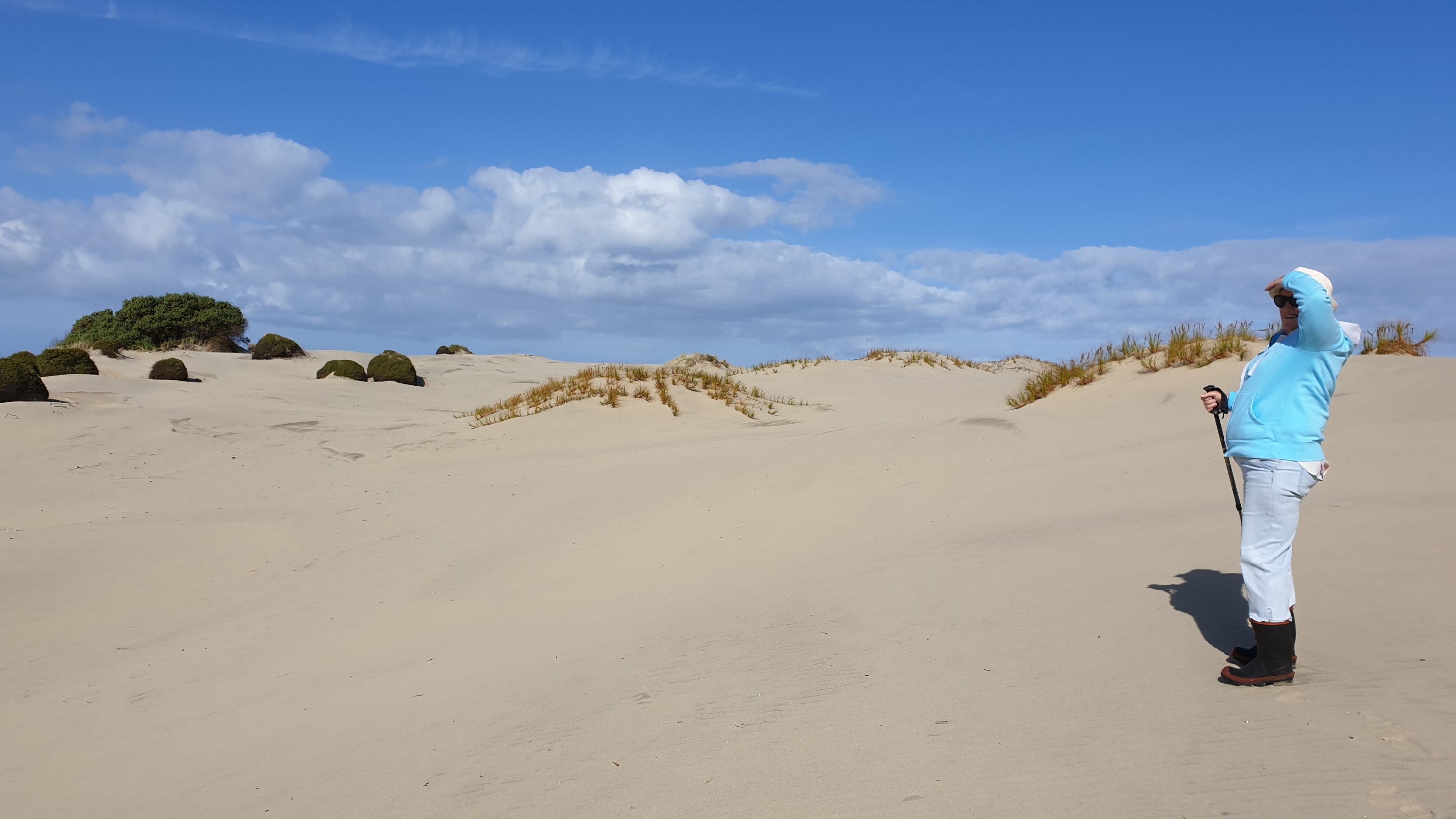
Day 28
16 November
Km 16
Cumulative Km 388.5
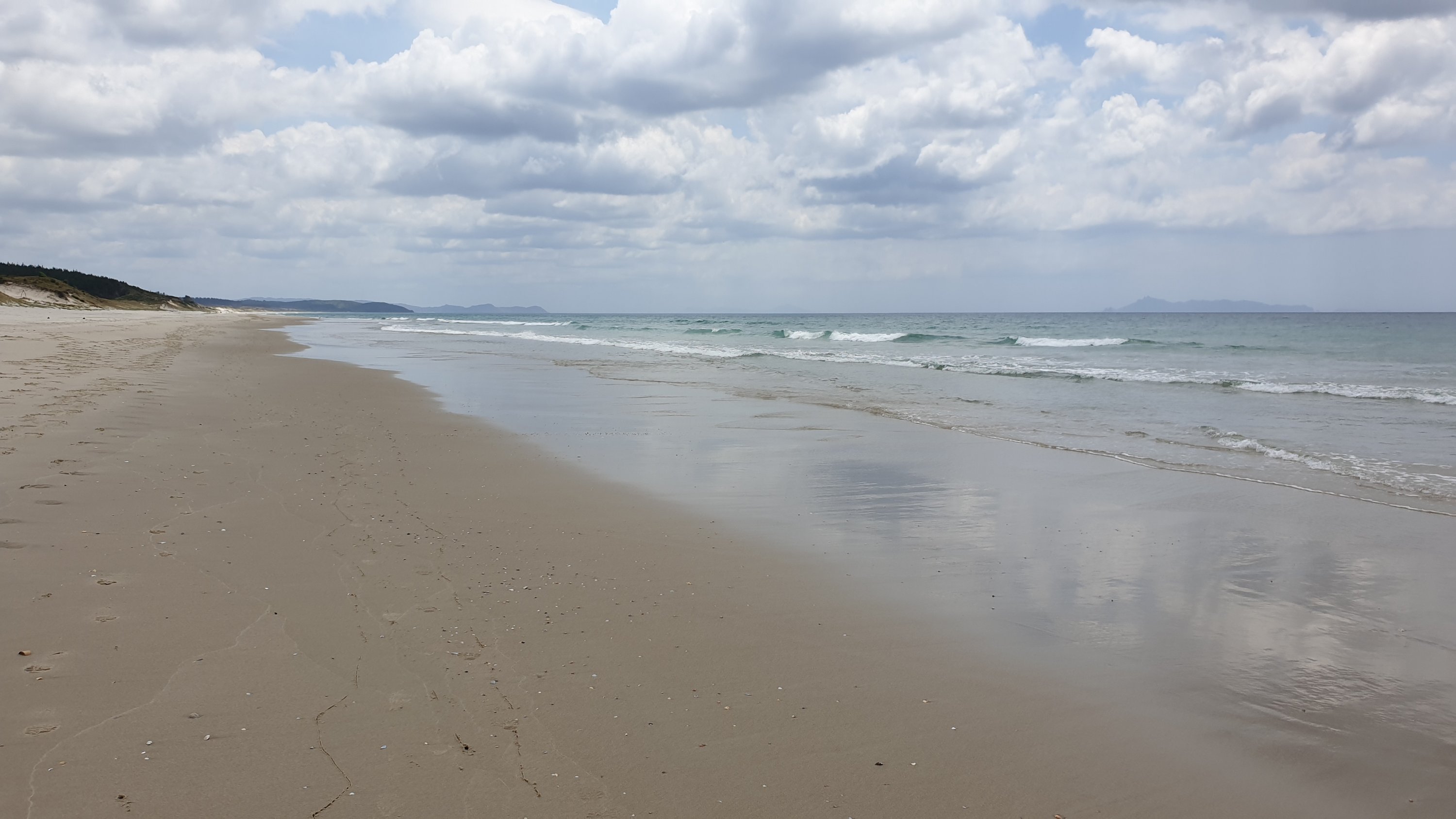
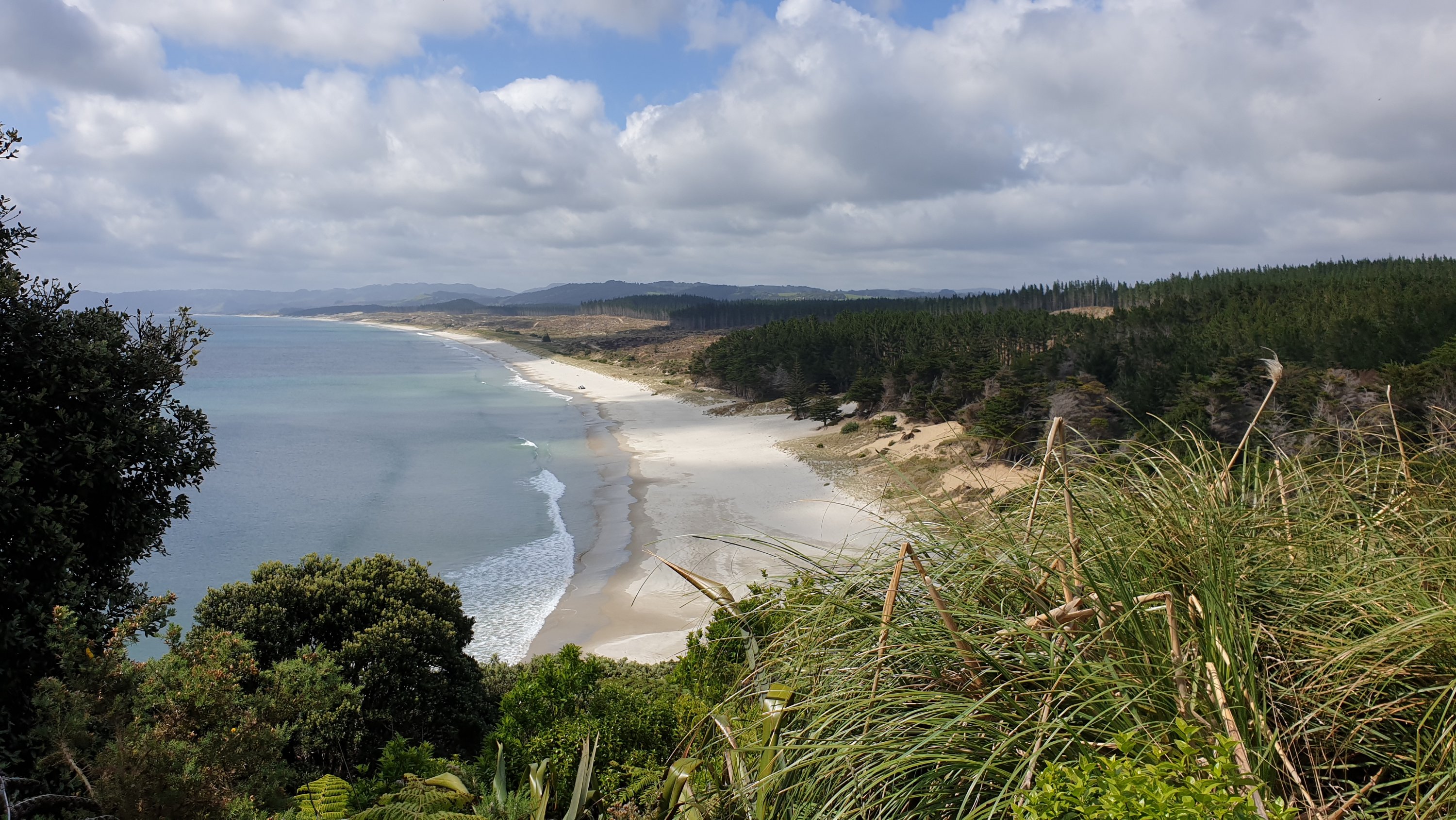
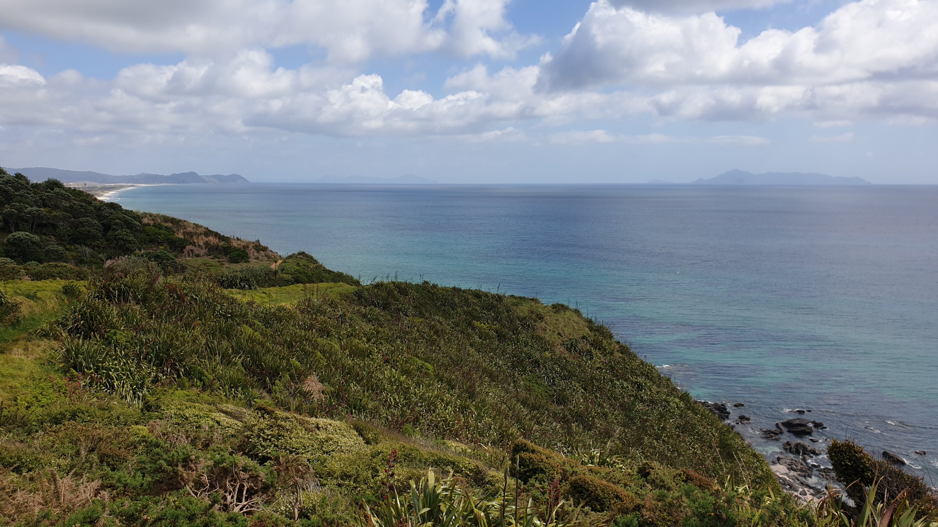
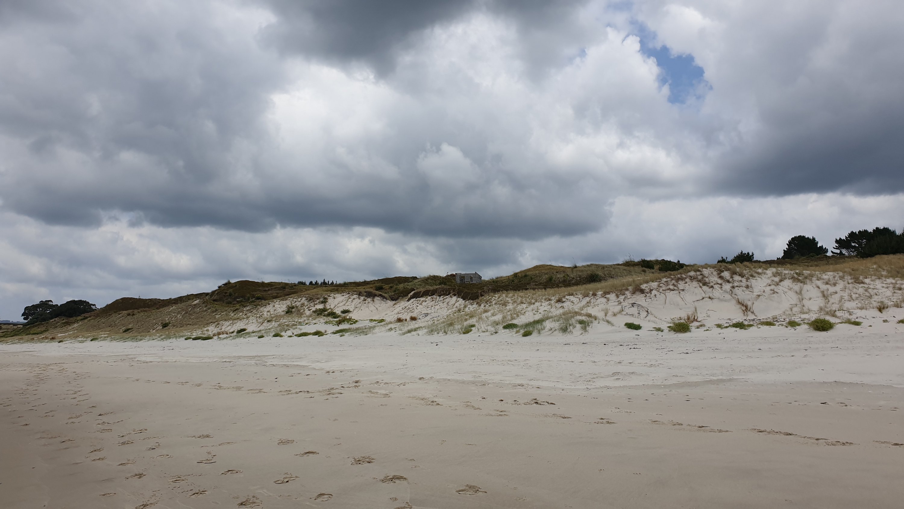
After another hearty breakfast we said our goodbyes and Lyn dropped us off at the start of the beach section. The beach was pretty uneventful, though a little difficult for the first half or so as it was high tide and we had to walk in the softer sand. There were 3 river crossings that we had to do, not too deep but required taking shoes off or getting them wet. We also saw 2 fairy terns, that are critically endangered in NZ.
We got to the campsite in the early afternoon and set up camp. It was busy though, considering it was a Saturday.
Day 29
Km 11
Cumulative Km 399.5
I can’t believe that some people are already at 650km, all walking and I’m at 475km, and walked 400. These people are machines… 35-40km a day on pretty rough territory!
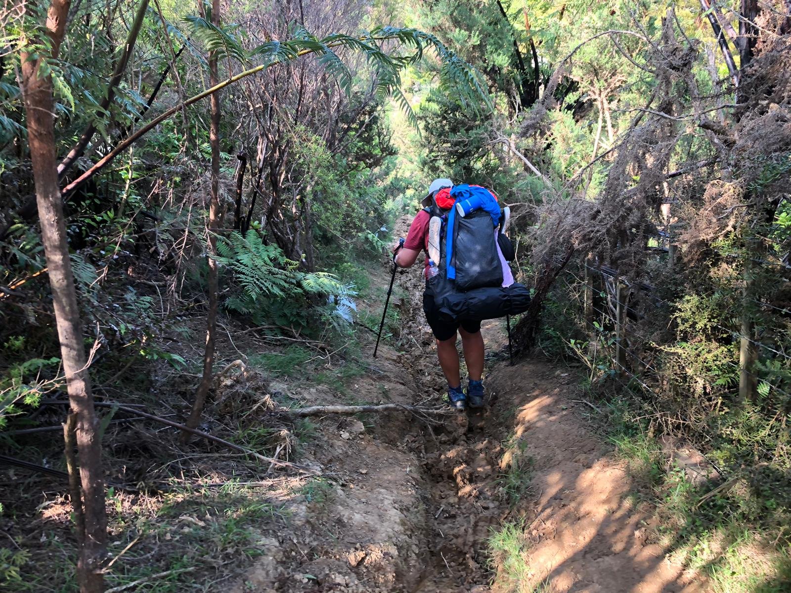
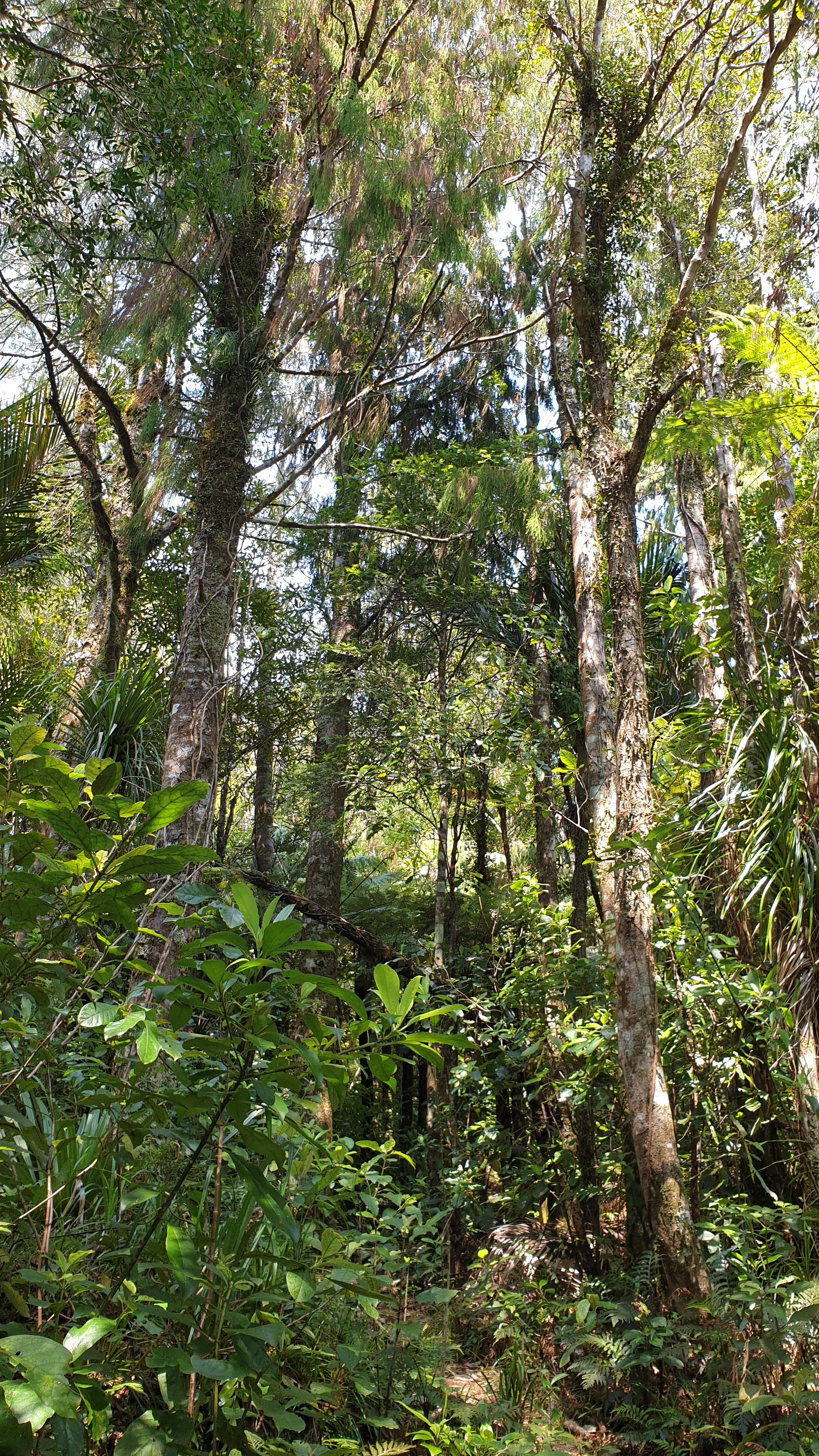
Well, today I’m glad that we only signed up for 11km as it was a lot of steep climbs, then steep descents. Luckily the mud was fairly competent as it hadn’t rained for the last few days.
When we thought we were nearly done , we got an arse whipping in the form of another kilometre of steep, muddy descent and draining ascent to join up with the road
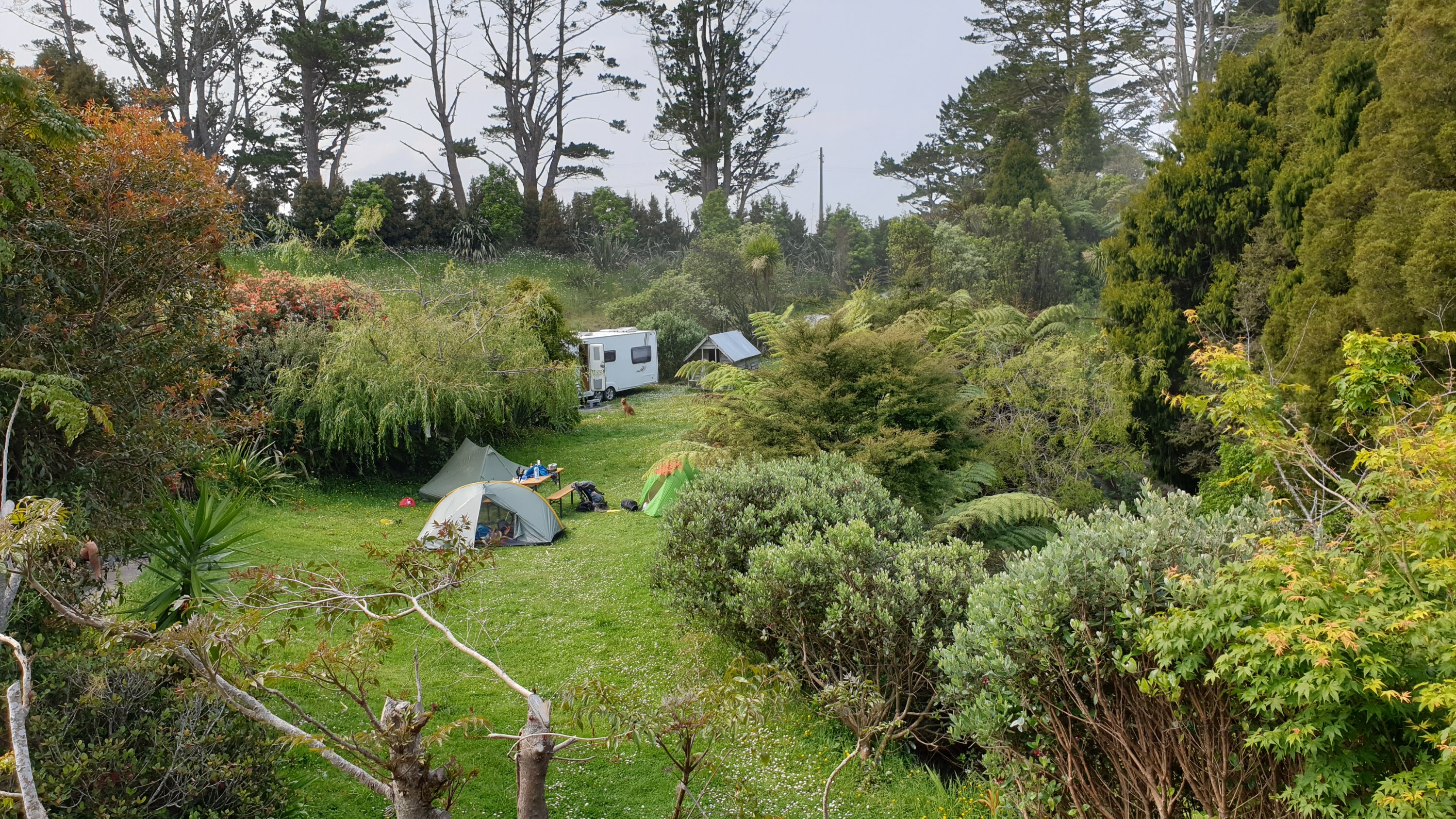
We camped on Matt’s lawn, got beer or soft drink and a morning coffee included in our rate.
The dog of a caravaner at the place we stayed decided to lighten my pack by eating nearly all of my biltong!! It was about 20 dollars worth!! So broken hearted… and I was just gone for a few minutes!
Day 30
Km 16
Cumulative Km 415.5
Today was rather similar to yesterday, with loads of meters of ascent, followed directly by descents. The track was actually not too bad, as it was still dry. There were several muddy patches, but not too bad. The start of the forest was pretty good… until it started raining just when we stopped for lunch. It rained pretty hard for about 20min and caused the next 5km of steep descent to be pretty slippery.
We stayed at Sheepworld, the youngsters camped and I stayed in an on site caravan. Not bad for 35 NZD .
Reotahi Bay to Mangawhai Heads
Day 24
Km 11
Cumulative Km 334
For some reason today was a frustrating day, though I cant really say why. We didn’t have far to go but we just felt like we weren’t getting anywhere.
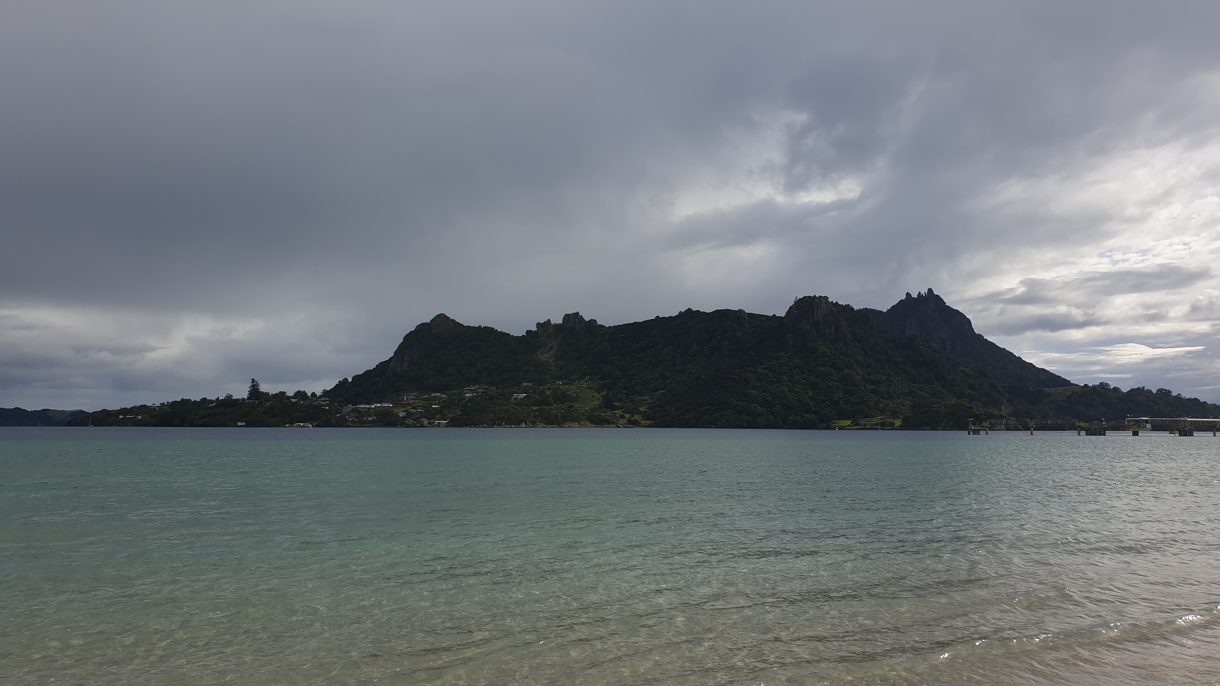
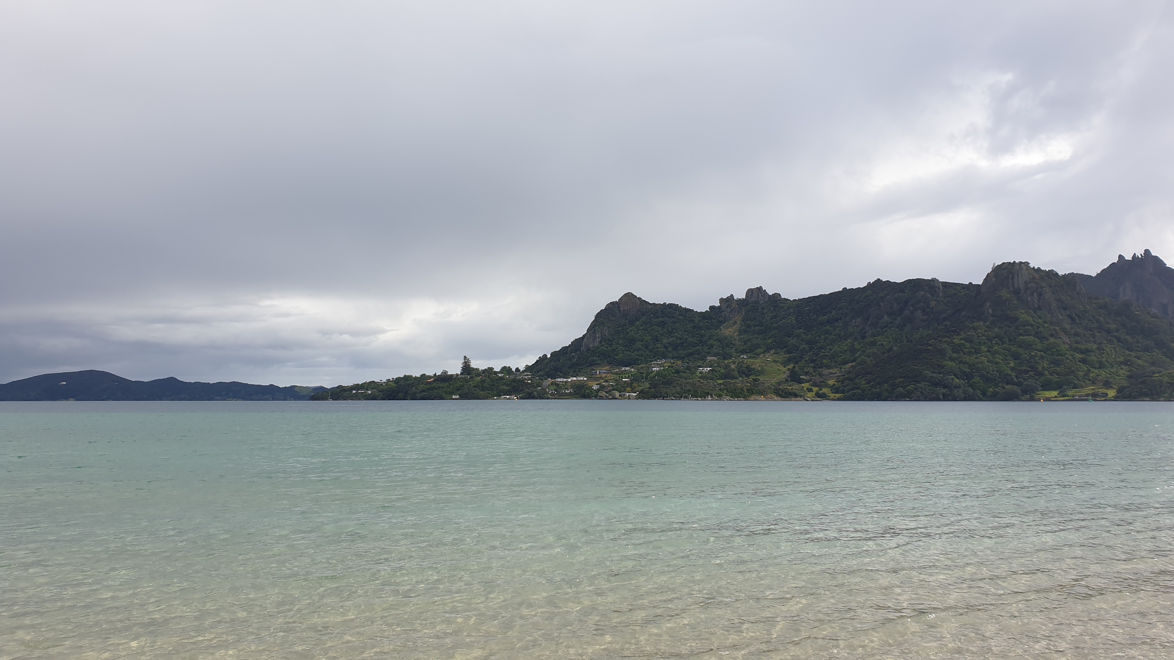
We had a boat crossing organised for 8am, 20 NZD pp. Pretty pricey! Anyway, that went smoothly with dry feet on both sides. Once you get over to Marsden Point though you are in industrial territory. The log loading port and refinery are here, without any trail markers. I was a little concerned that we would get into a place we shouldn’t be. The trail follows the refinery fence, then on the beach and under pressured pipelines that state that you shouldn’t enter under them?
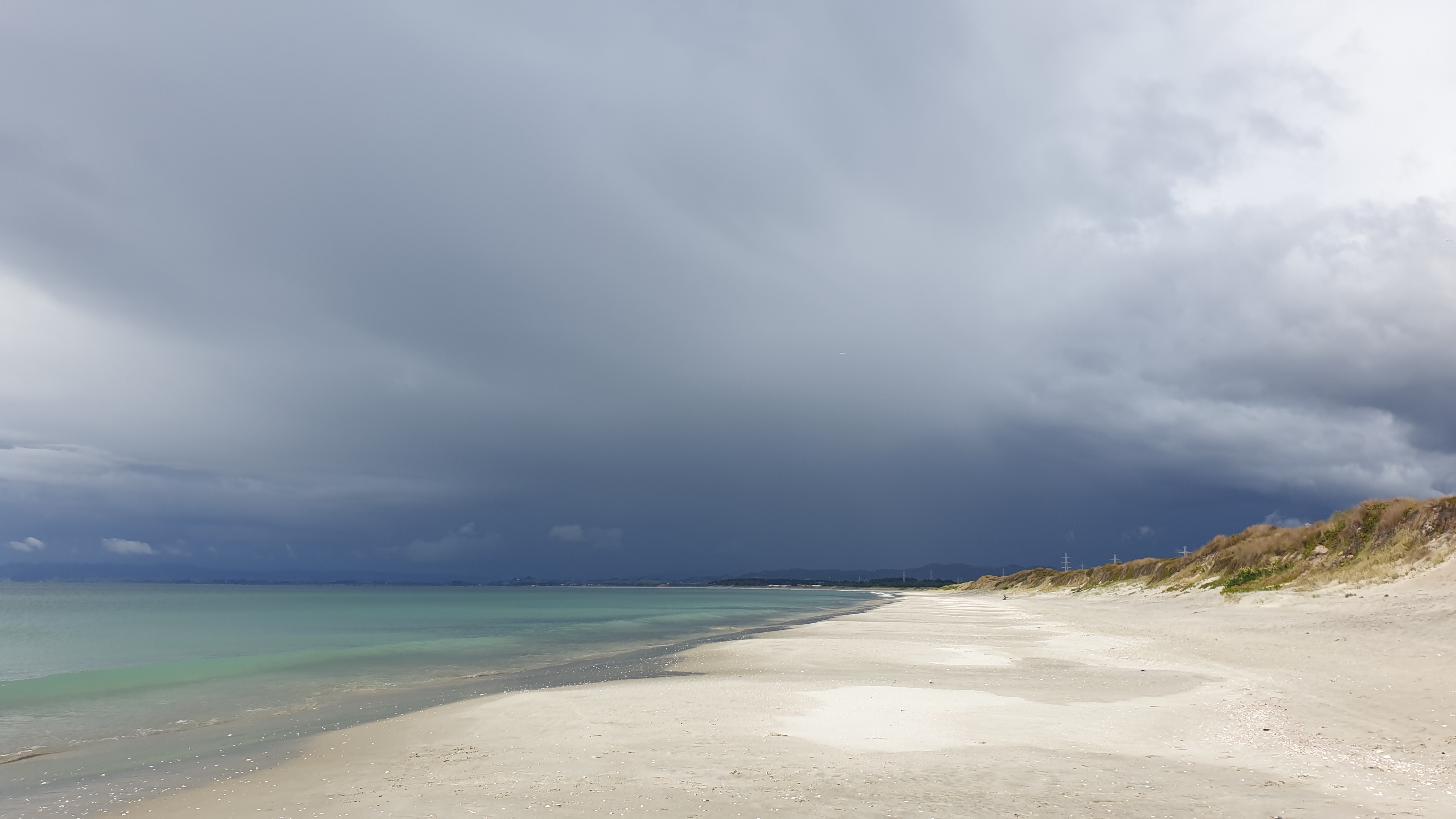
The beach walk here was tough with the sand being very soft. The smell of the refinery also made it less pleasant.
As we progressed, this got better and the sand firmness improved. However a concerning storm was building on the horizon ahead of us. When checking the weather the previous night, there was a chance of hail and thunderstorms, and it looked like it was coming soon. We decided to get off the beach and hitch to Ruakaka, our resupply destination.We were however not successful. We did instead walk a bit down the highway and got to Maritime Holding office and were able to seek shelter there for 30mins or so. We got pretty soaked before this and thought we would try to get a ride into Ruakaka, a nice cafe and the supermarket. A few cars passed us until an old lady, with a car full of items and her dog stopped. She said she was just going down the road, we explained that we needed to go a bit further and thus would try someone else. She said , “Not to worry, get in and I will take you there then!” Moritz get in the front with the dog and Marie and I squeezed into the back with our bags. This lady only took us a few kilometres, but told many stories. She allegedly was part of the first New Zealand girl rock band and a NZ of the year!
We went to a cafe, had good lunch and a great coffee, then reapplied for a couple of days and headed down the road to our campsite – Uretiti. This was a fair bit of road walking, with more rain and then we got onto a good stretch of beach.
We got onto the campsite, which is a huge 300 site area and it started to rain…AGAIN! So we stood in the toilet and waited for it to pass before finding the camp office.
Day 25
Km 15.5
Cumulative Km 349.5
It was good to have a prediction of no rain for today, though all our tents were soaked from condensation and a quick drizzle we had in the night.
Today was a short day hiking wise and was mainly along roadways. Only the 1st 2.5km was along the beach, which was pleasant and wind free.
Our first goal was the reach Waipu, and Logan MaClean Cafe, where we knew that TA hikers get free coffee or hot beverages!!! The coffee was great and the Germans got some takeaway lunch too.
The next portion to Waipu Cove was partly along a path created for biking and walking, but mainly on road.
We got to our campsite at midday, so could dry tents, shower and do some laundry!
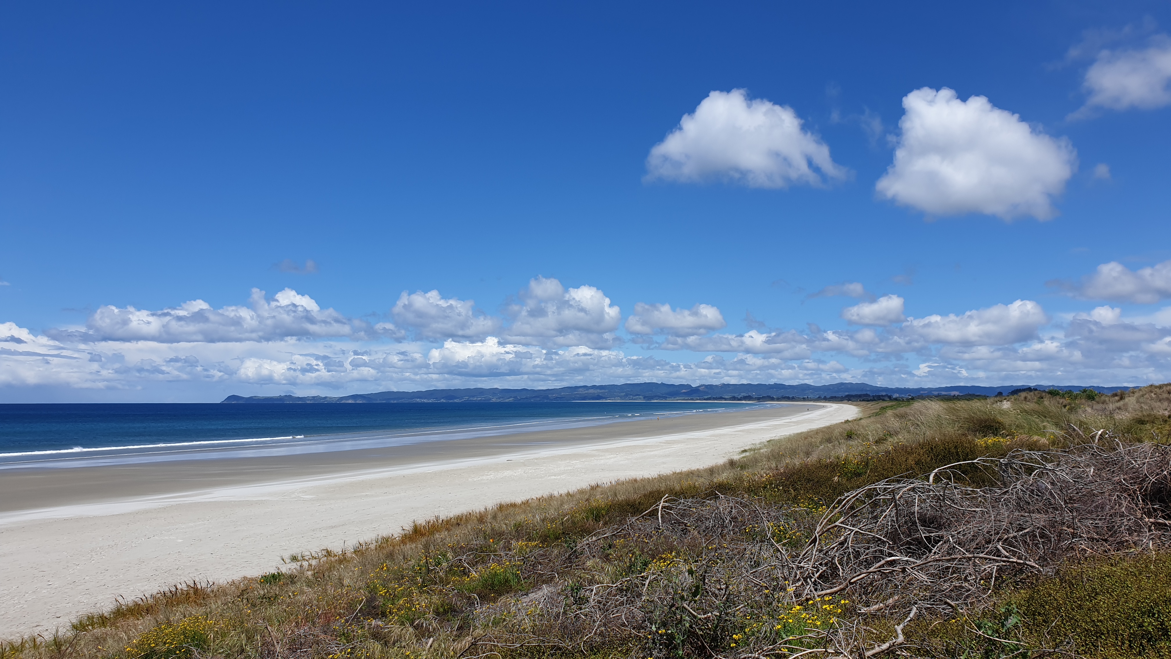
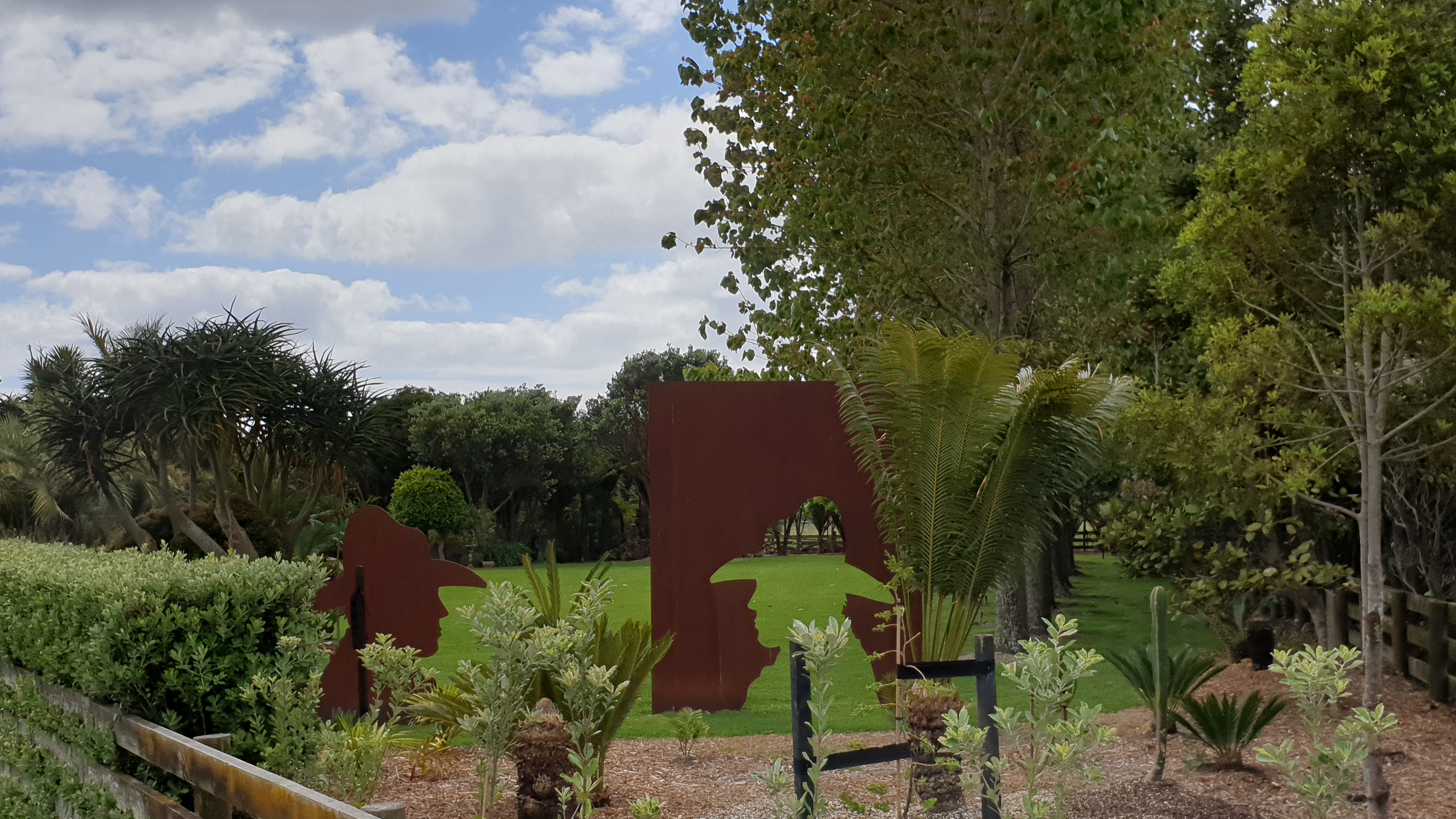
Day 26
Km 23
Cumulative Km 372.5
A very rainy start to the day , though at least I stayed in a bed and didn’t have to pack my tent up! It rained all the way up to approximately midday.
Earlier on in the track, when we were in old logging areas, in the hills, the views were a bit limited due to low clouds, but still pretty good. The trail through the forest was pretty good though and not as muddy as the northern forests, despite the rain.
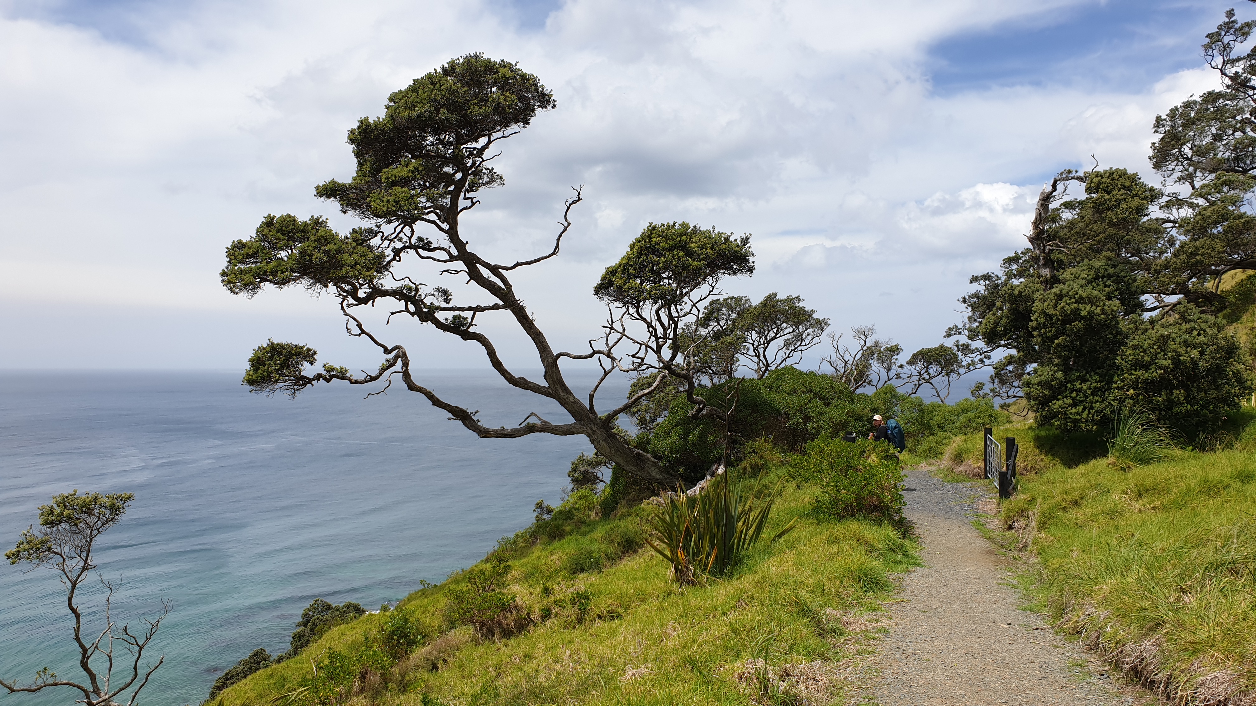
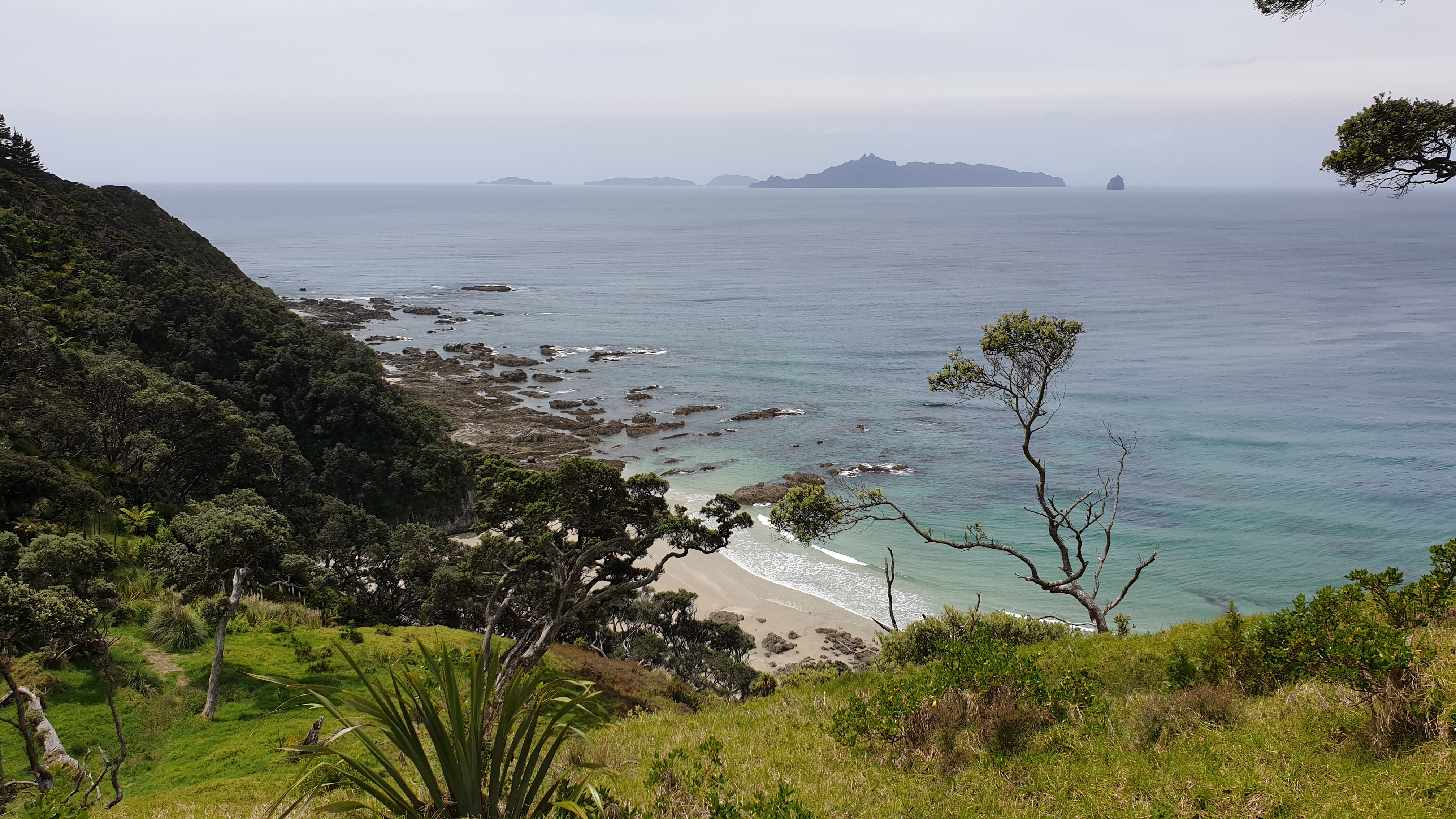
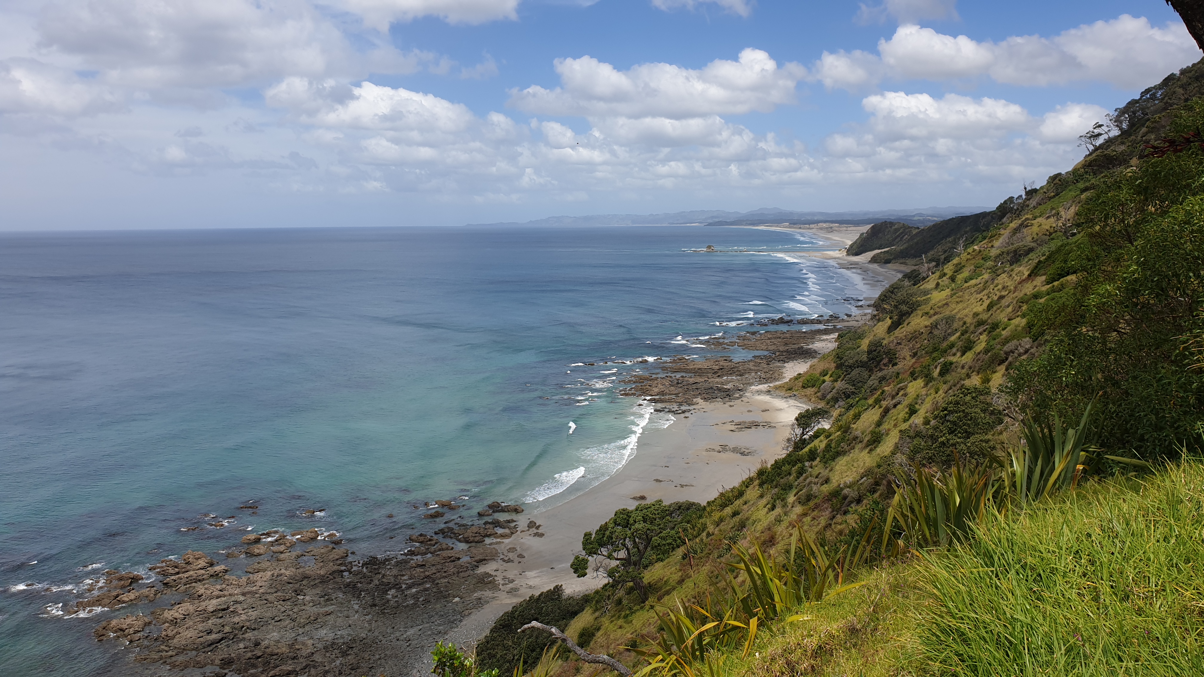
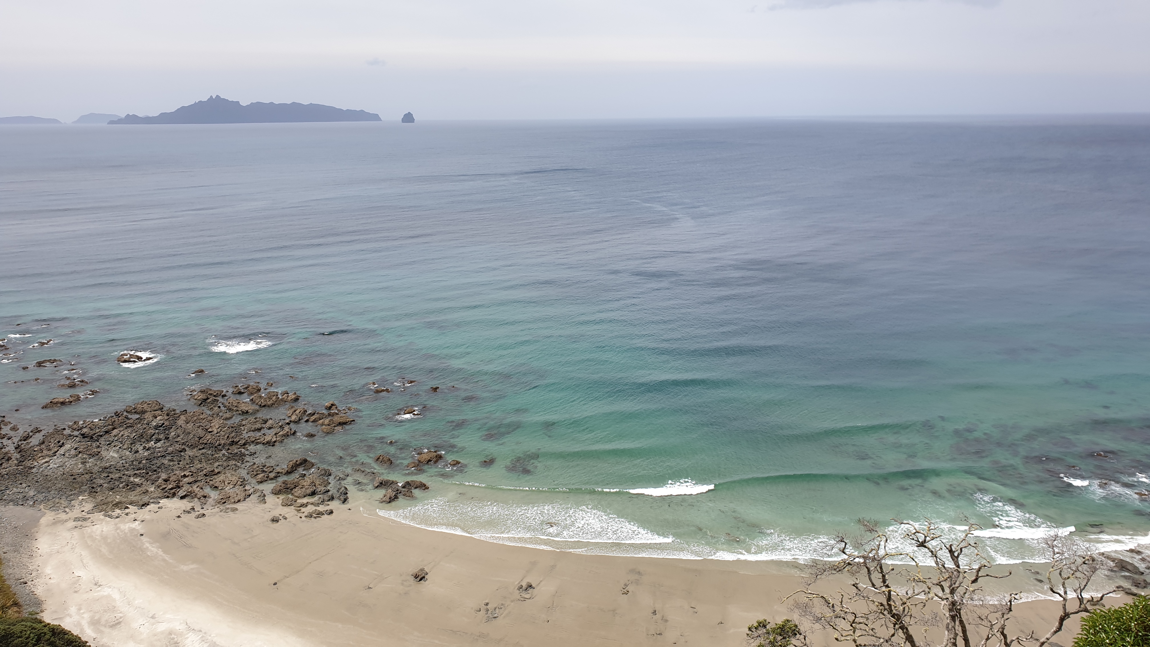
As we neared Mangawhai Heads we joined the cliff walkway, which has incredible views of the beach, the stunning houses and islands . By this time the weather was also sunny and thus the visibility was great!
We walked a few kilometres by road to the Mangawhai Heads Holiday Park, where a friend that I had met in the Galapagos, Lyn, picked us up and hosted us in her beautiful home for two nights! I was very grateful that she took not only myself, but also my German hiking buddies. We had a lovely relaxing time, did our planning for the next stretch and resupplied too.
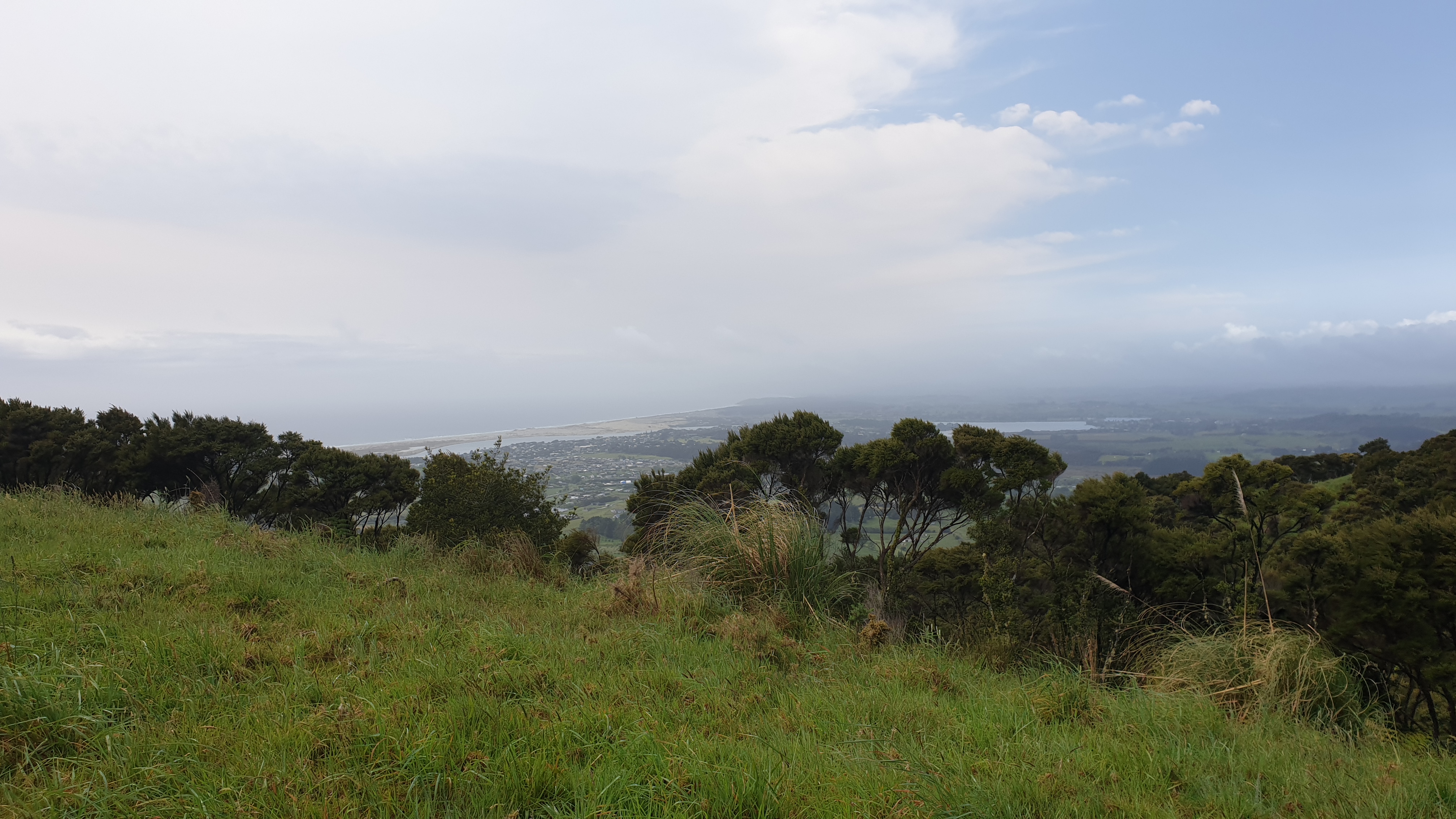
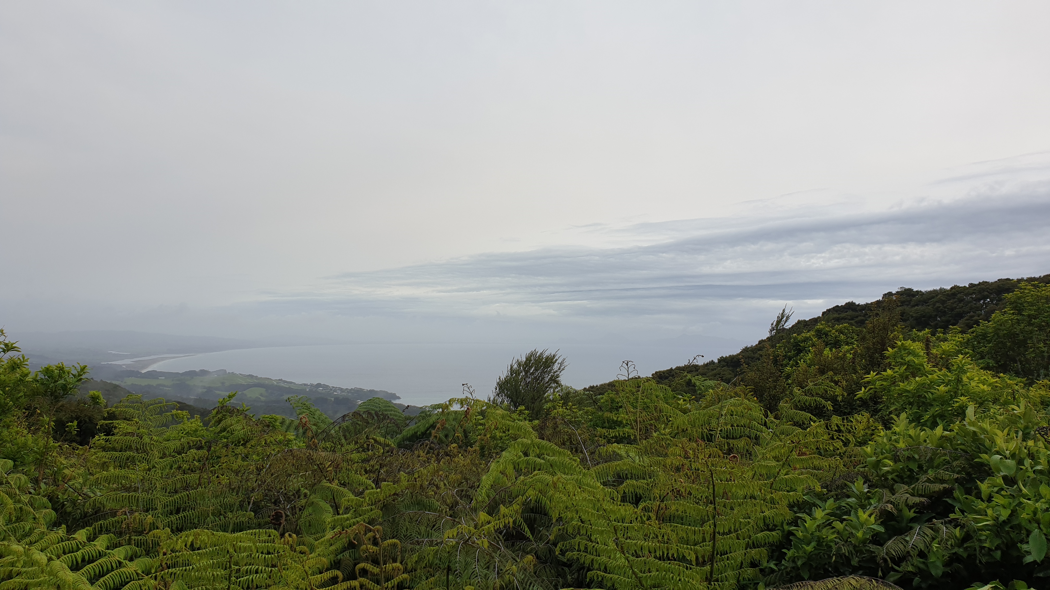
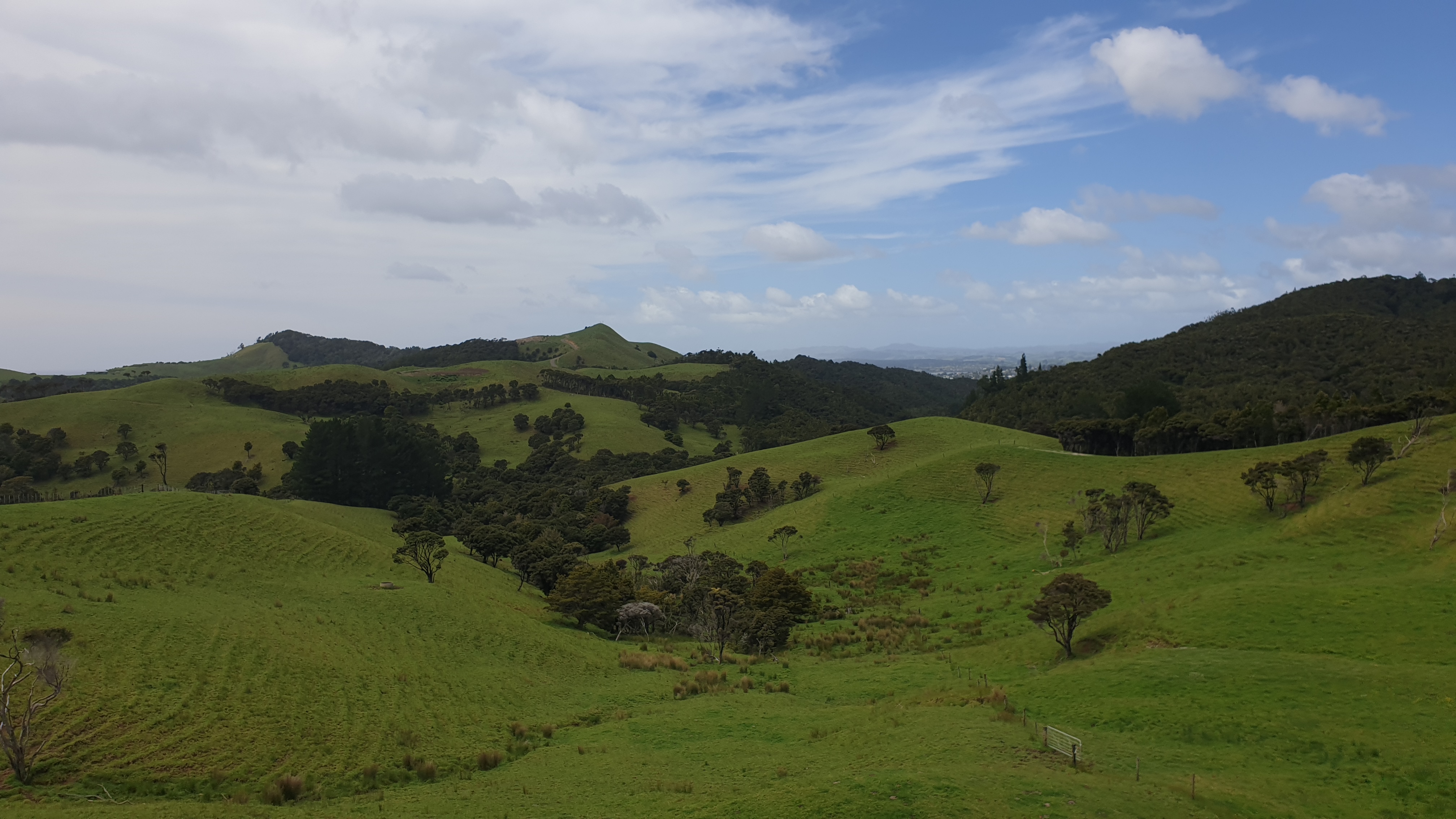
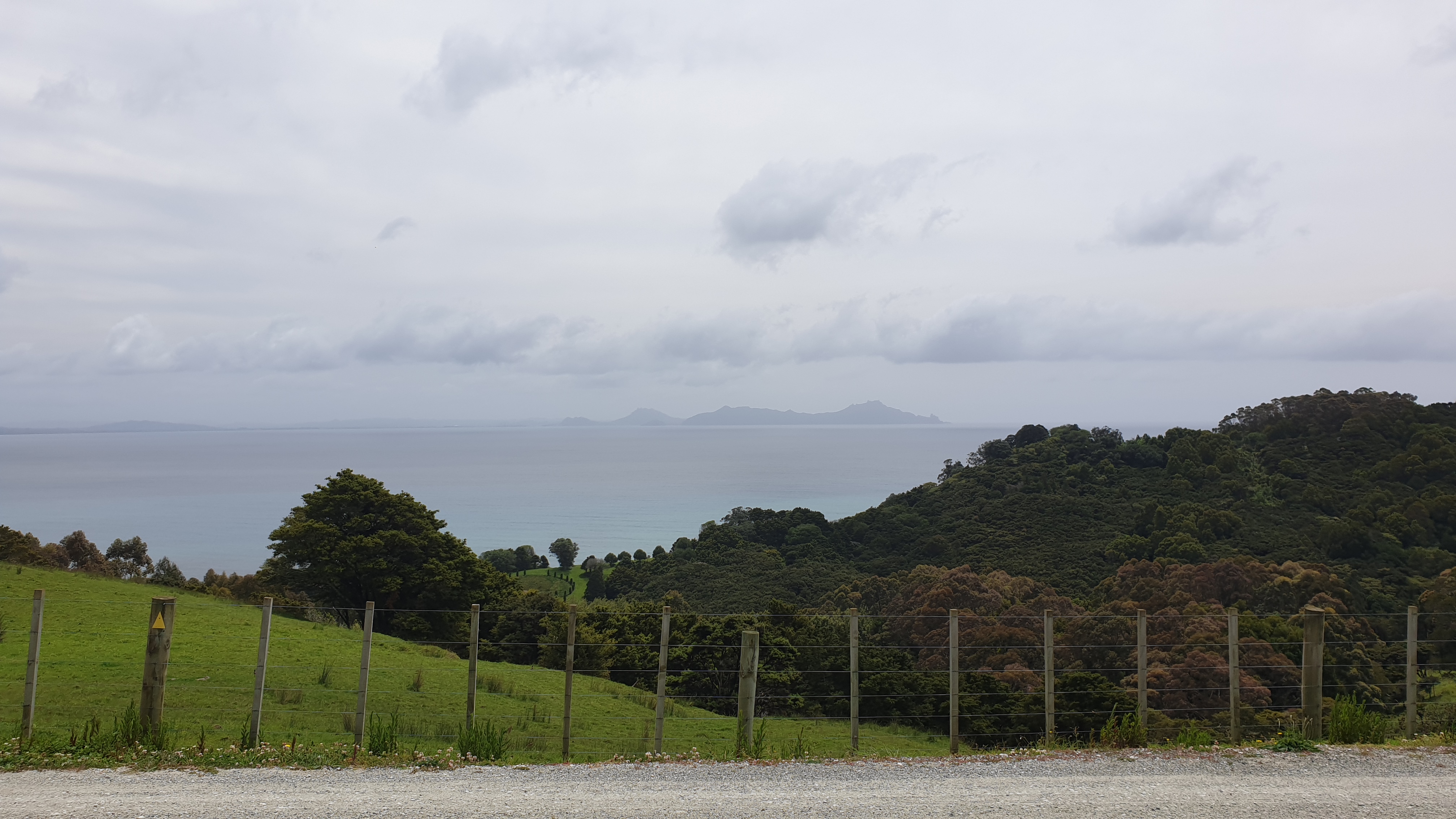
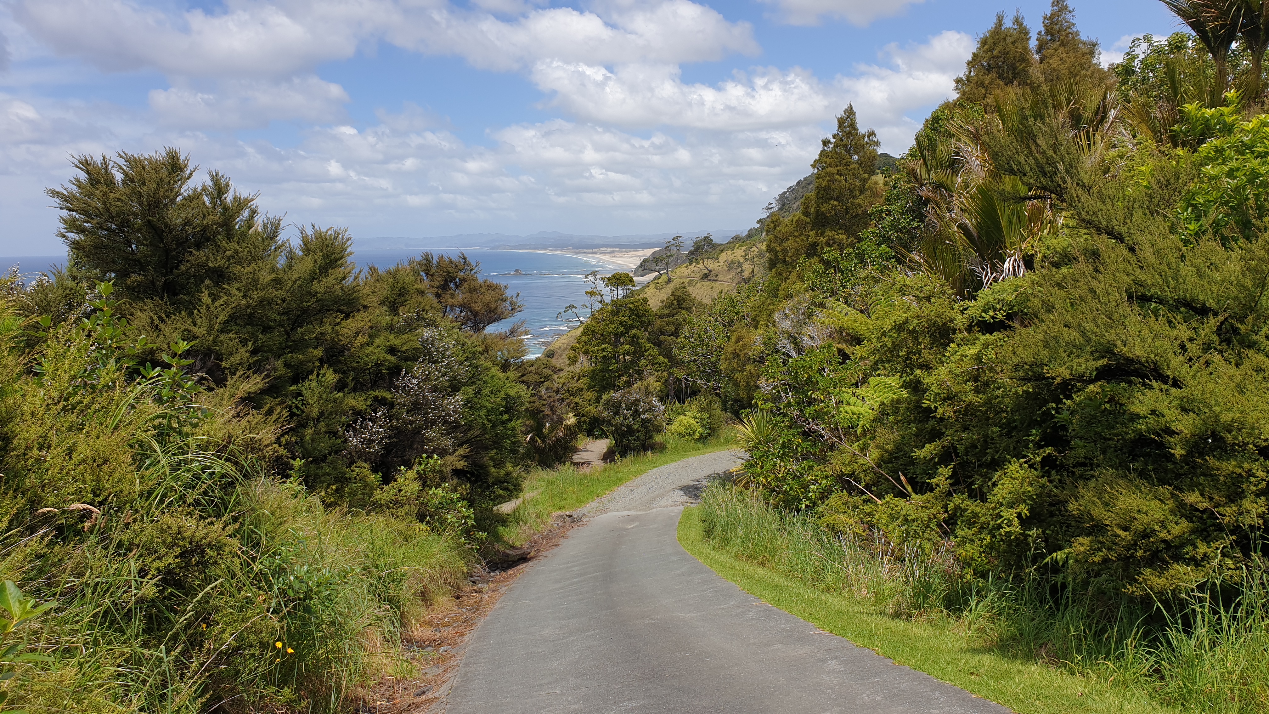
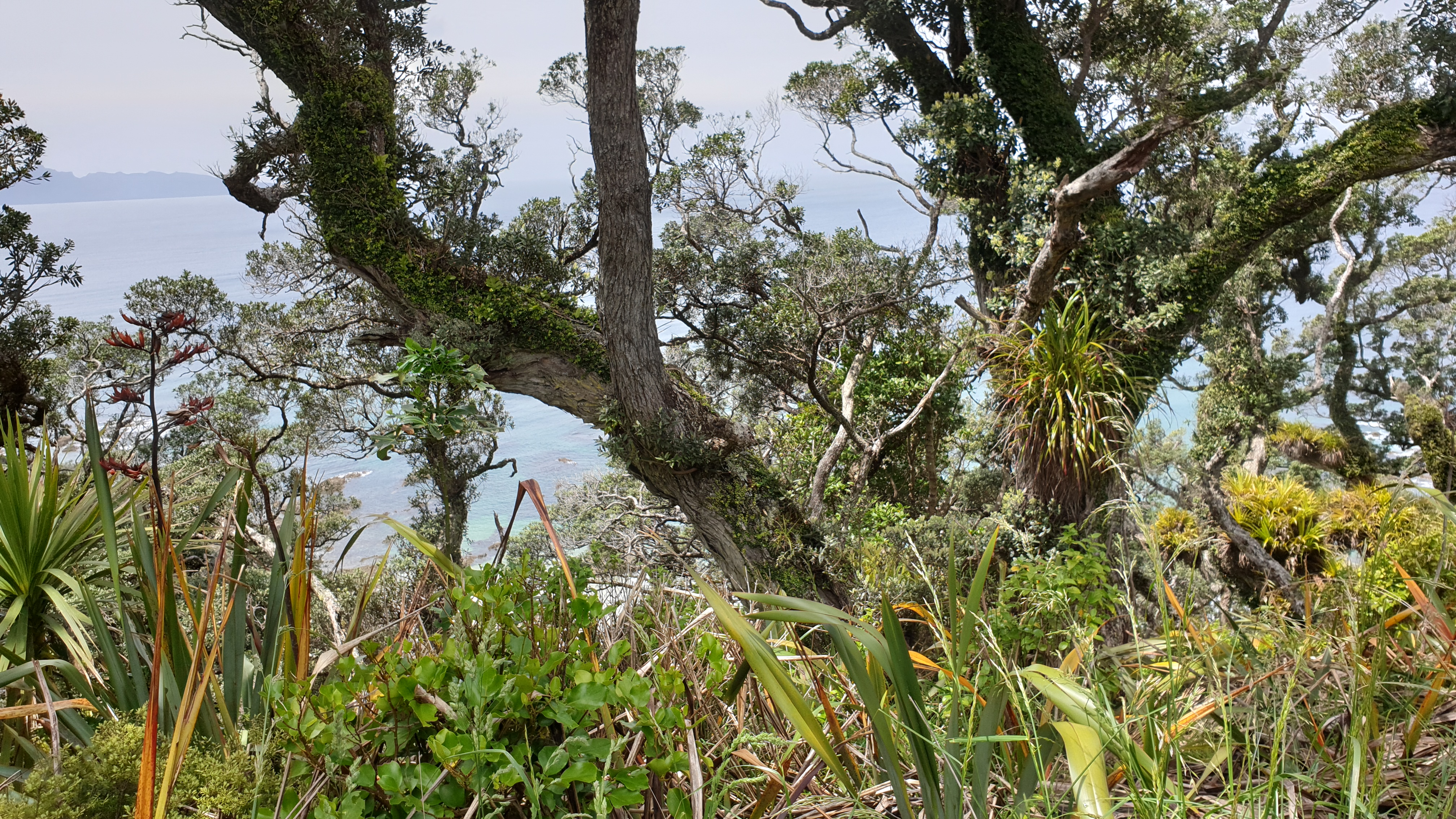
Whananaki to Reotahi Bay
Day 21
Km 27
Cumulative Km 289.3
Today was a pretty good day, even though the distance was pretty far. There was a fair bit of dirt and tar road walking, but in between also a decent 120m ascent, followed by quick descent through another forest.
The views at the start of the trail, known as the Whananaki Coastal Walk, were great! The trail went through several farms and had a small gradient, but on wide farm roads.
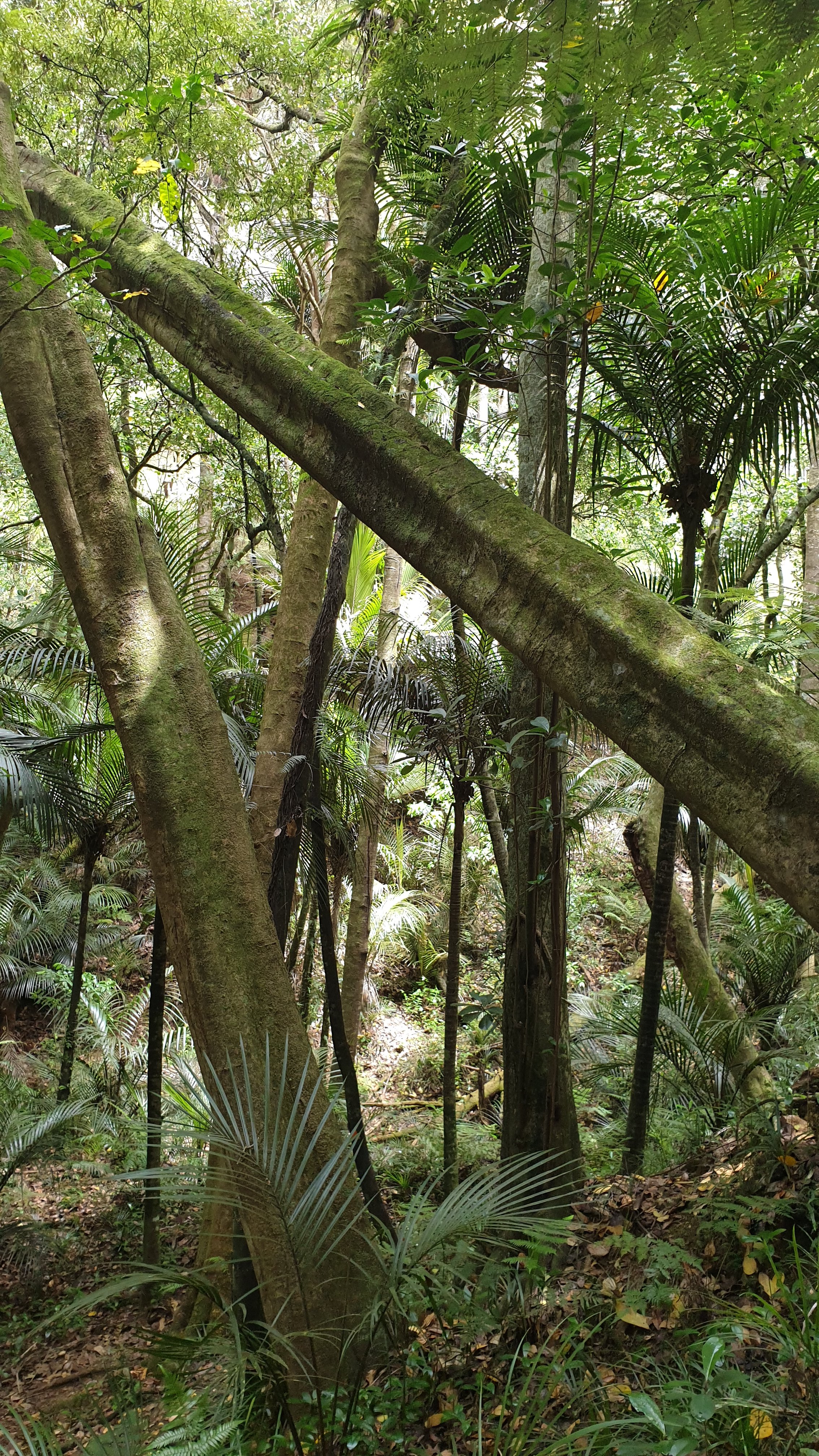
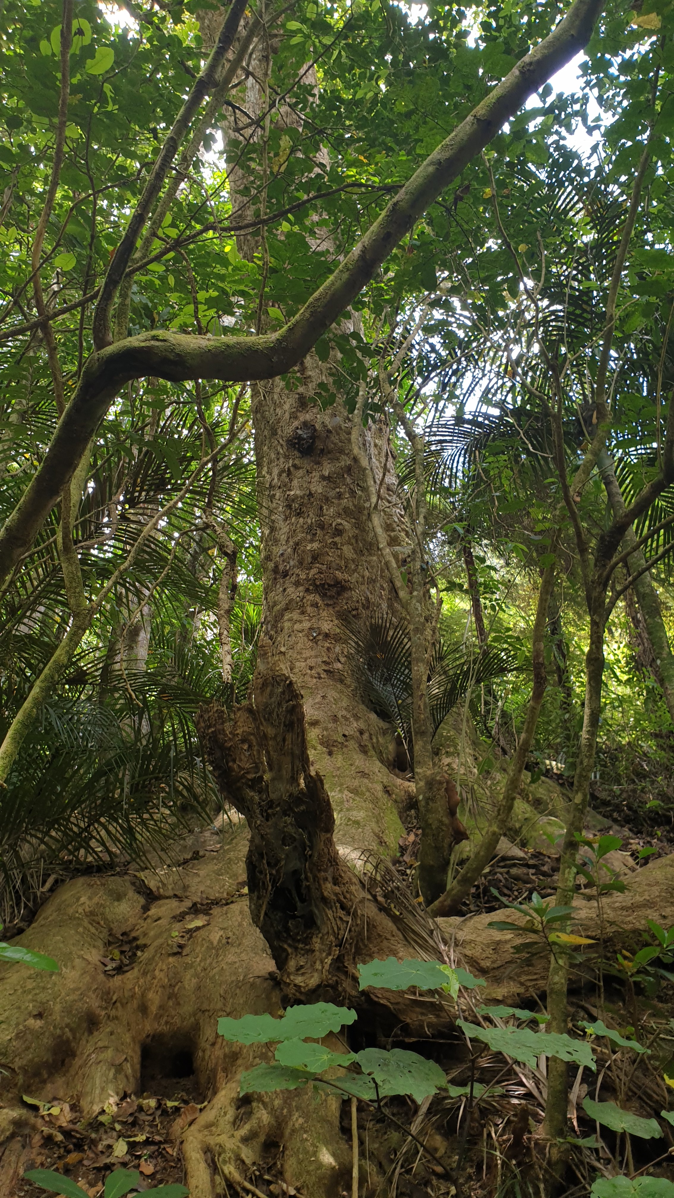
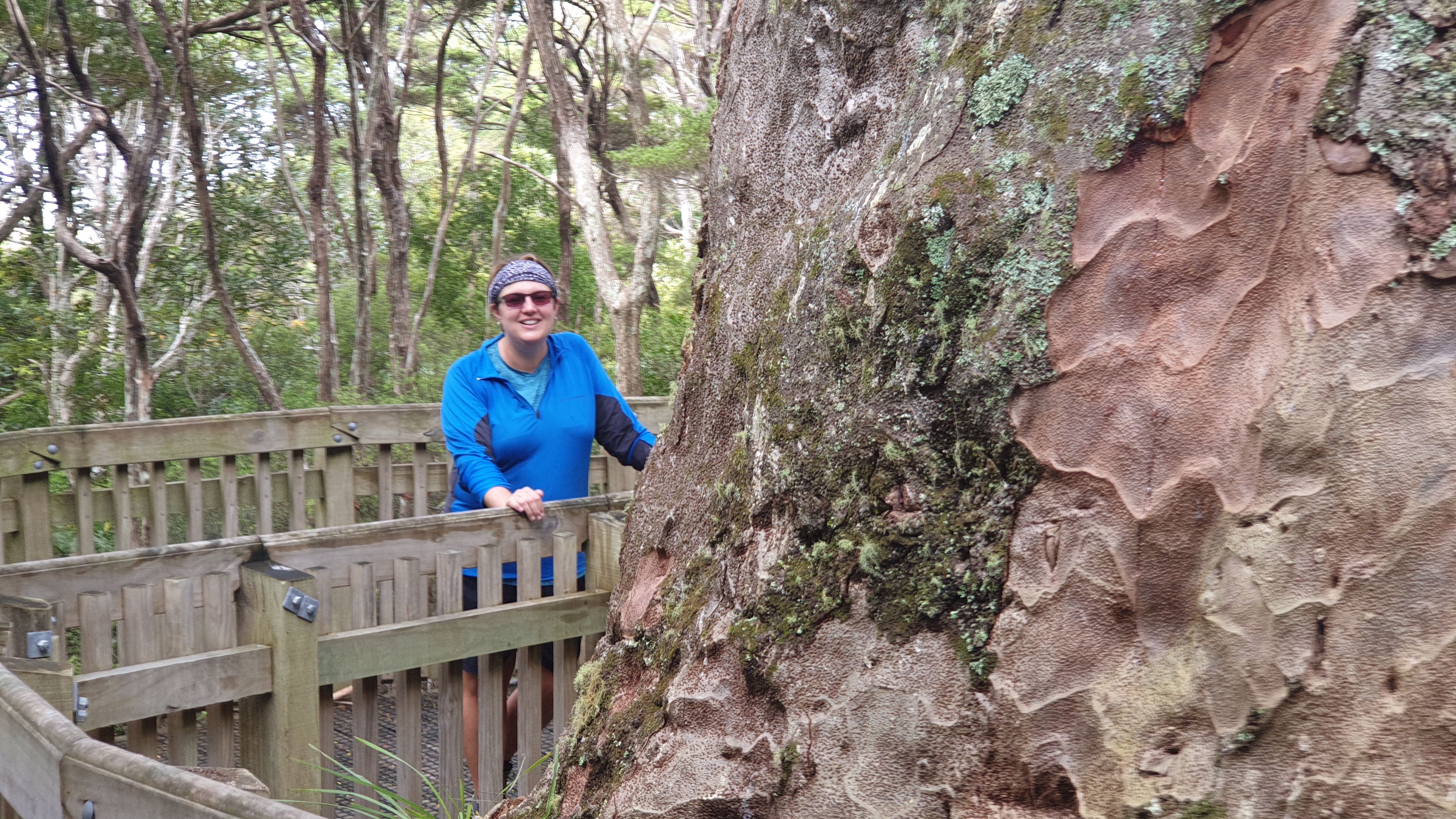
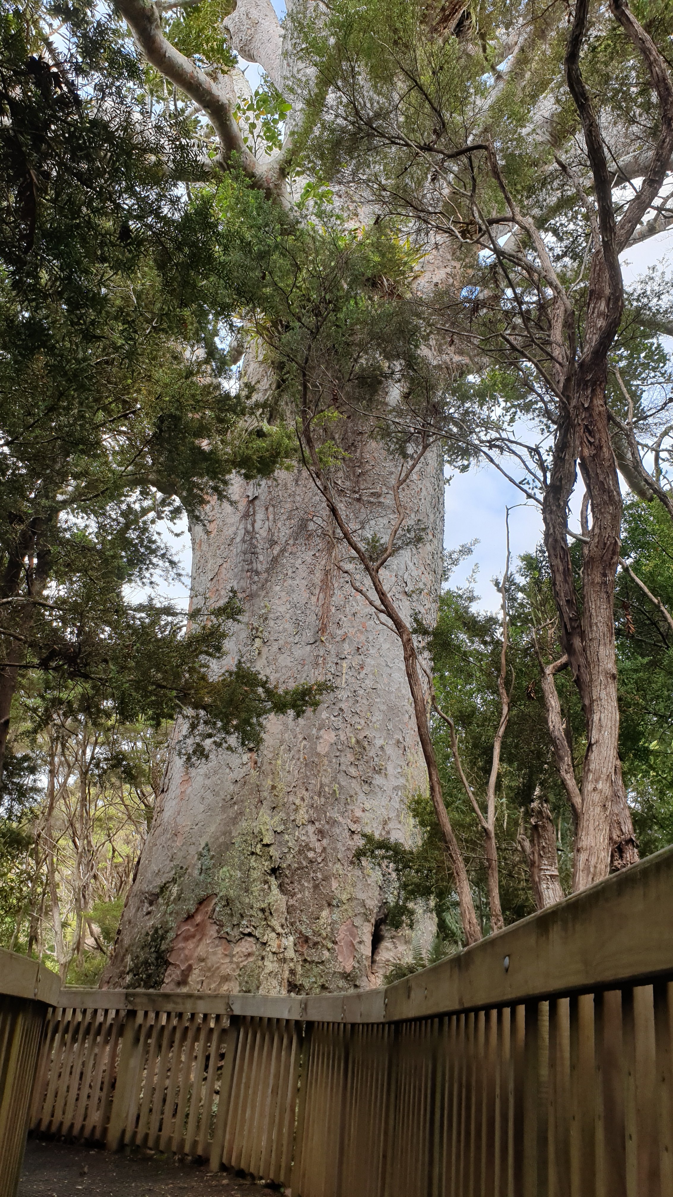
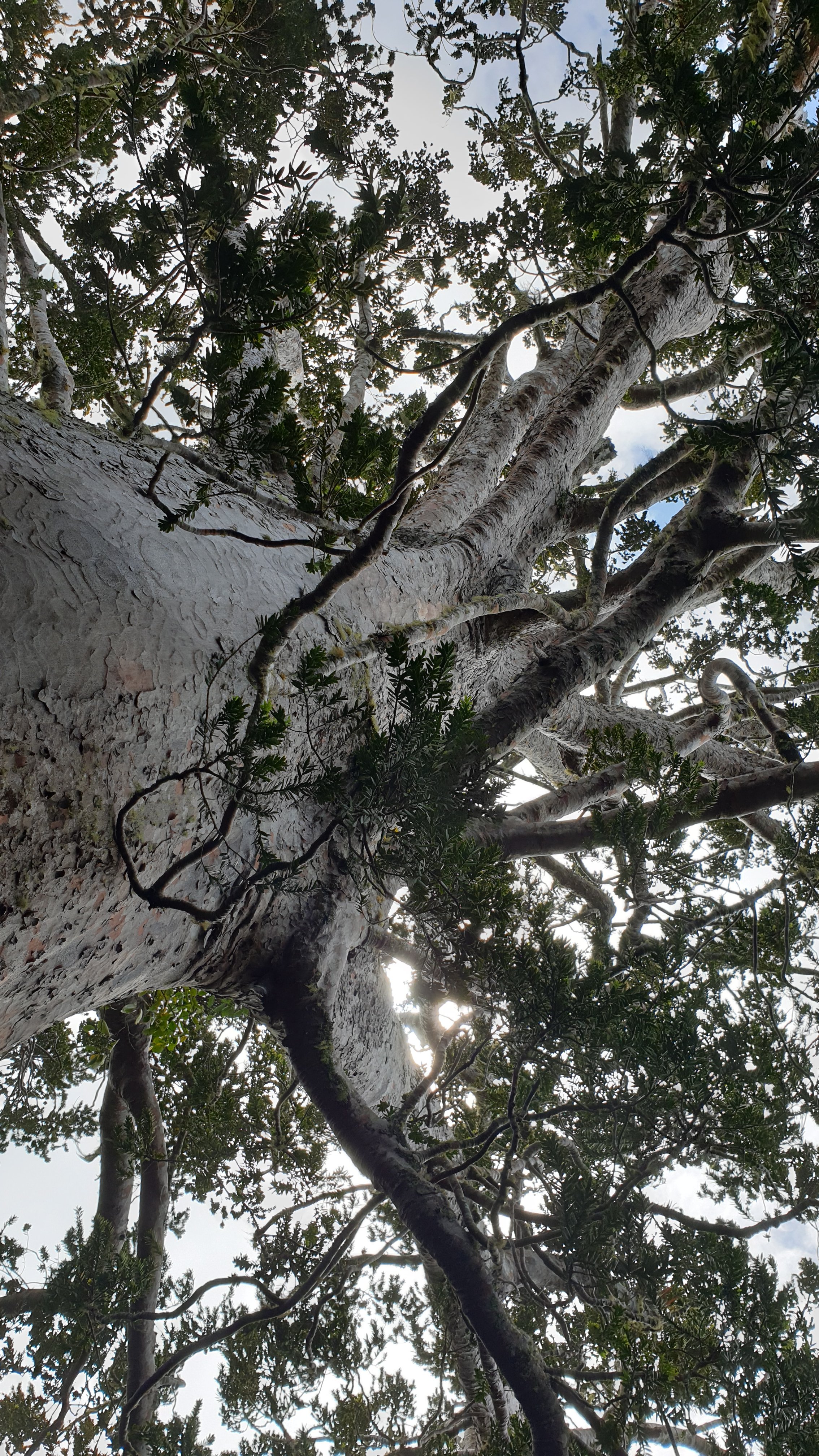
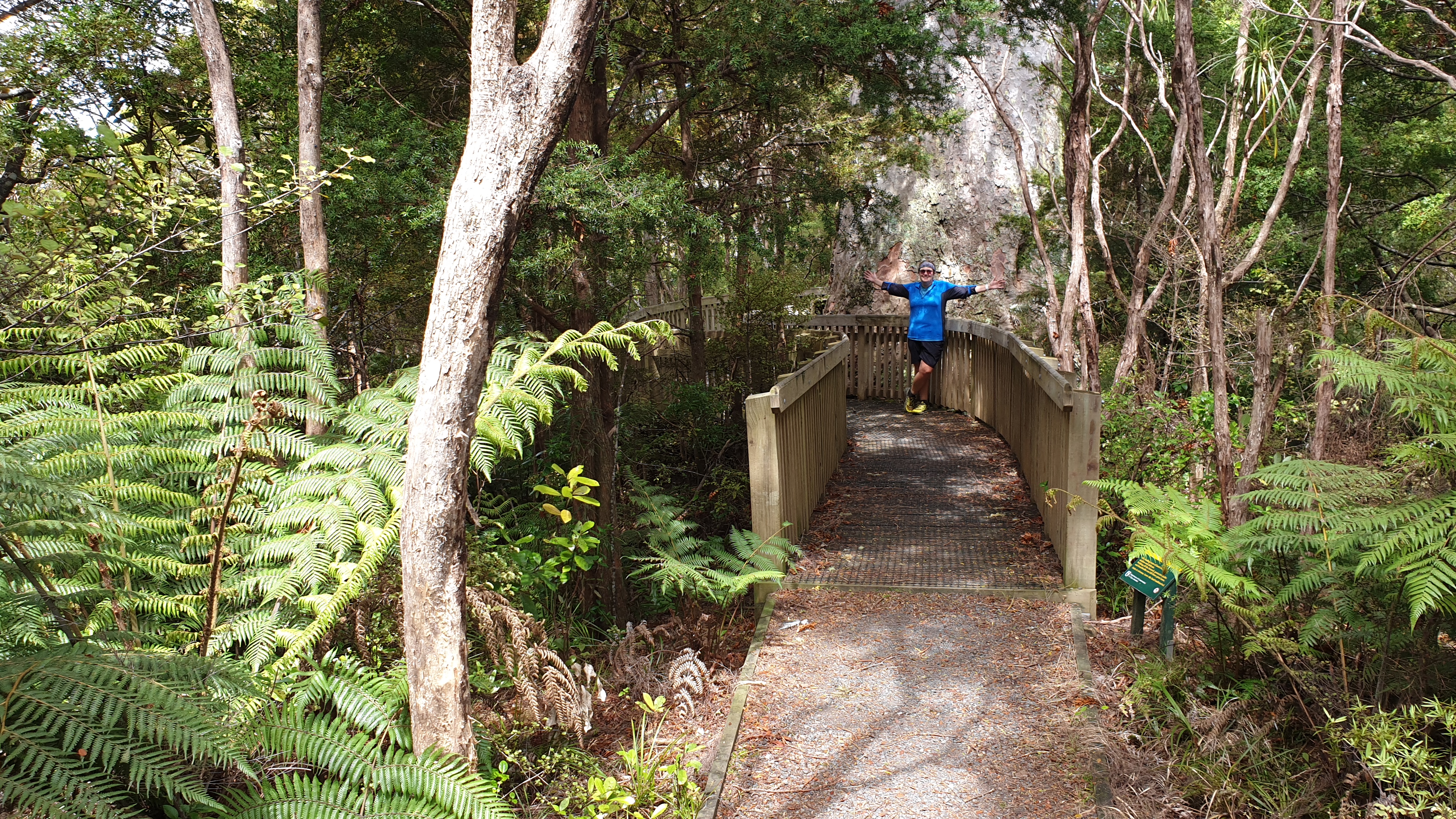
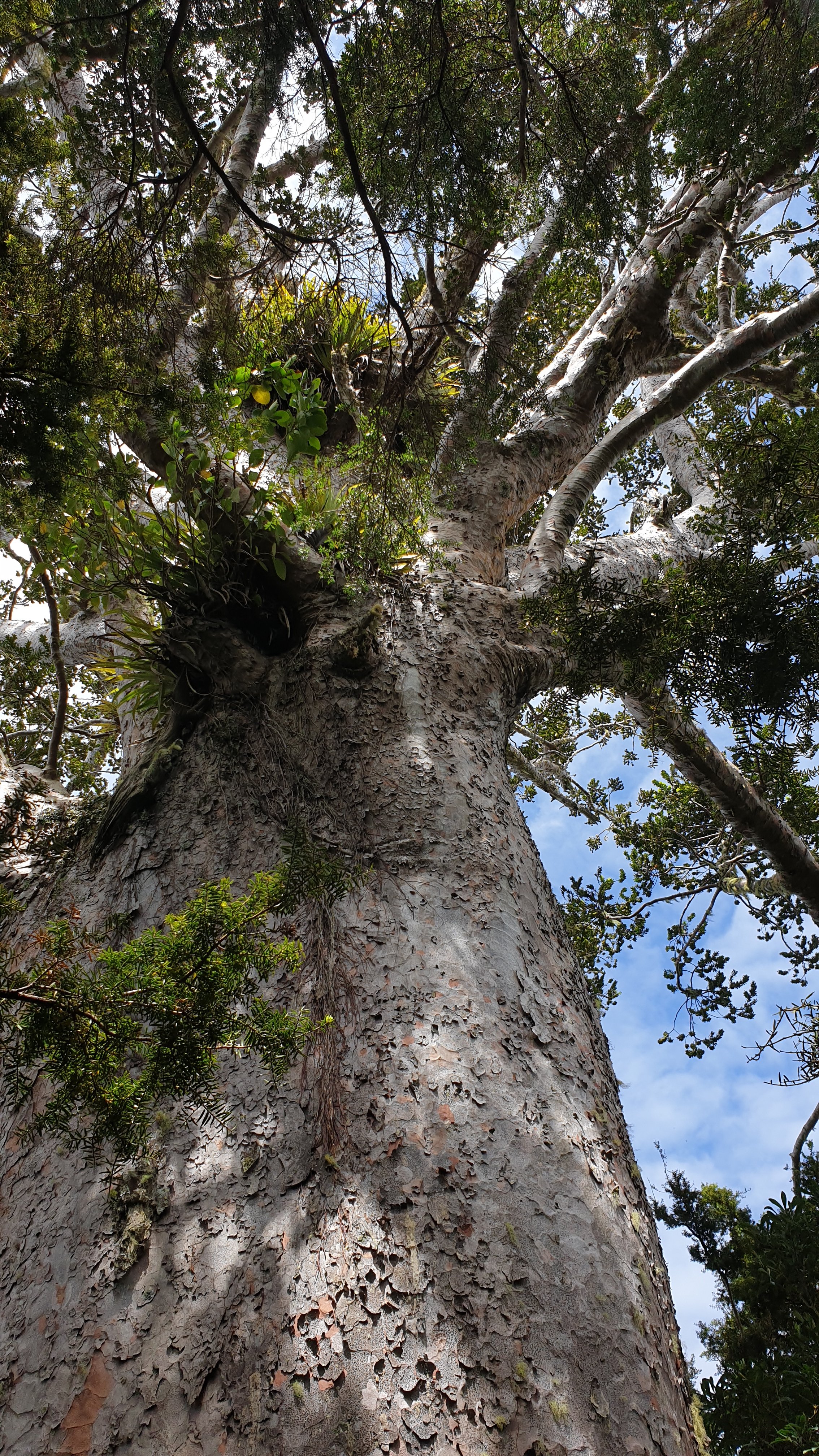
Towards the end of the Matapouri Bush track you are greeted by a giant Kauri tree. He is so legendary that he has a name- Tane Moana- and is featured in Maori folklore. He is a beautiful and majestic in its presence.
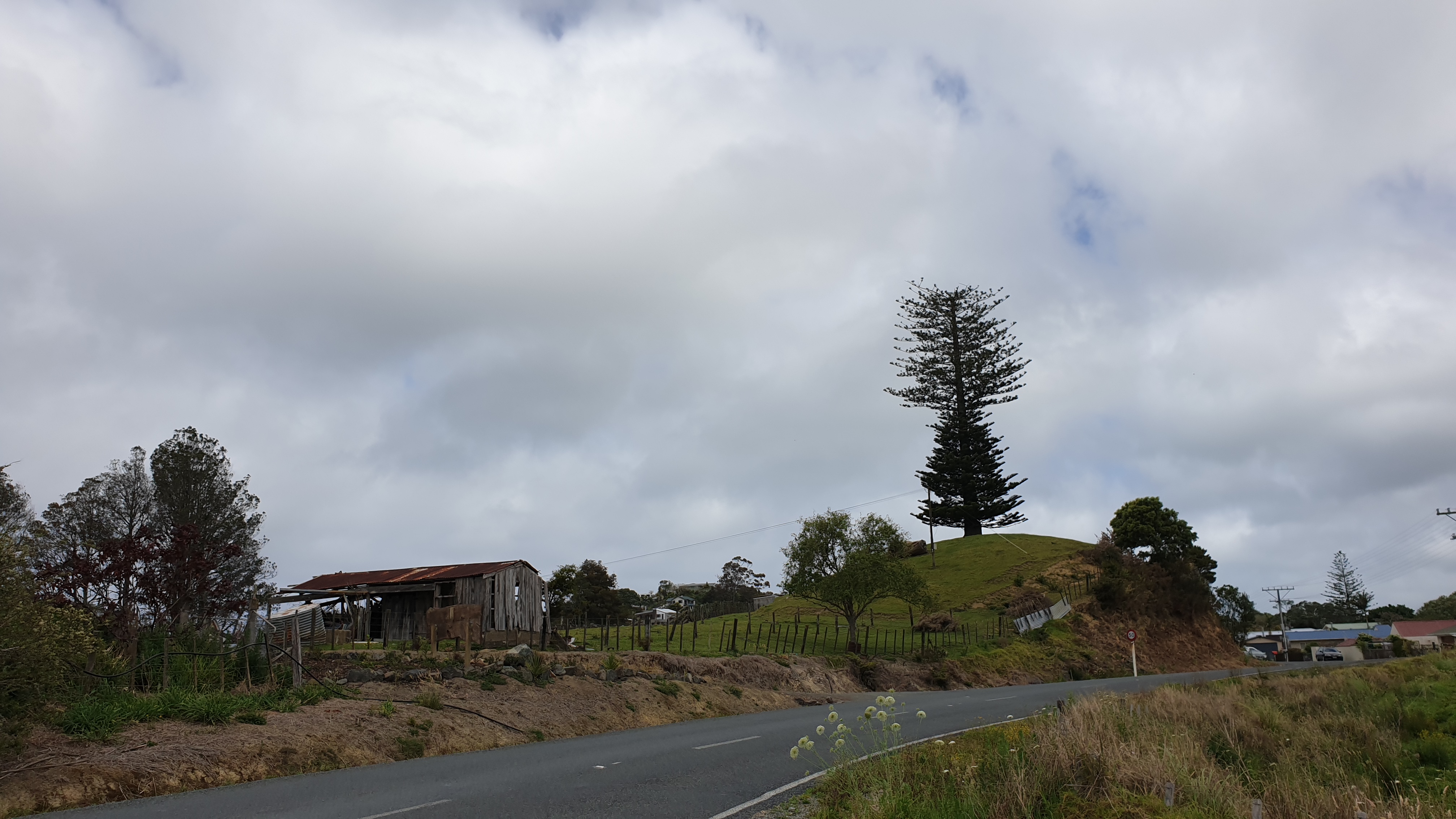
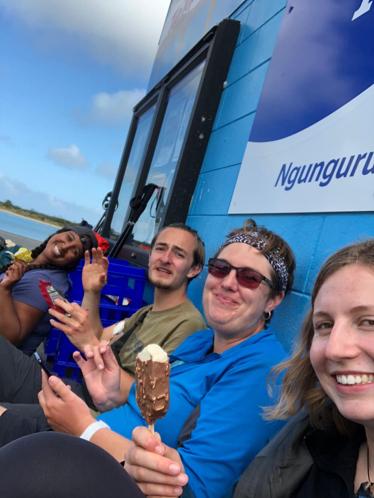
We arrived in Ngunguru a little after 4pm. Just upon entering the town there is a random pine tree that looks like a Christmas tree for 2/3s and then a wild unkept tree on top. We headed straight for the shop to resupply and get our junk food fixes… especially ice cream and chocolate!
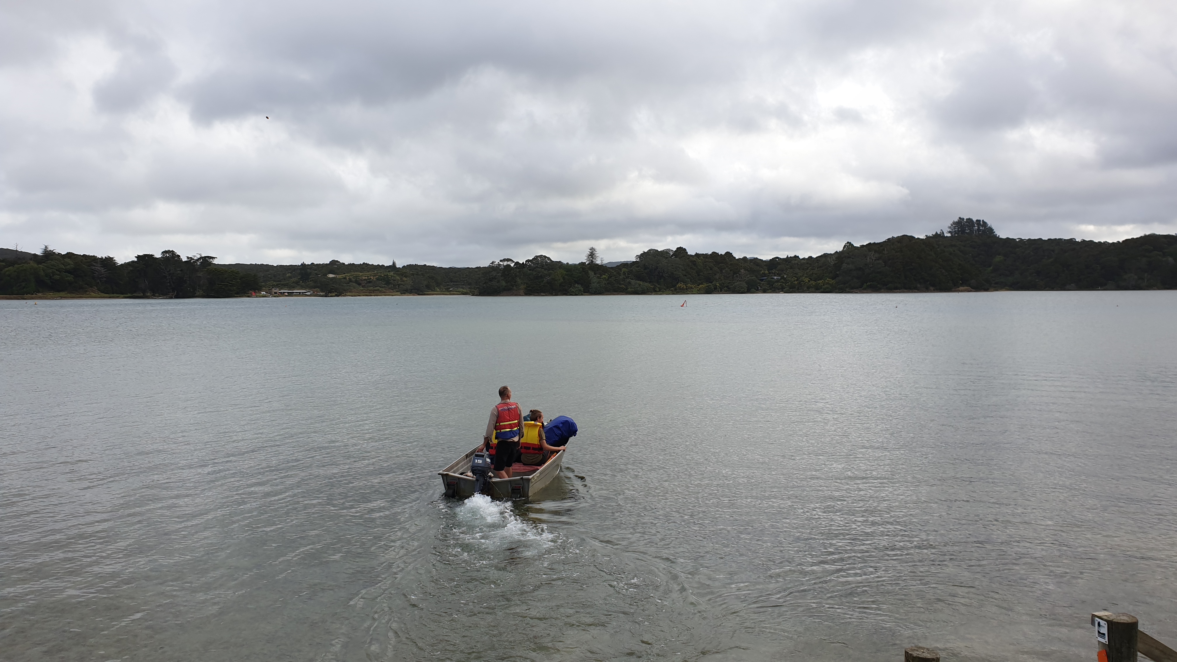
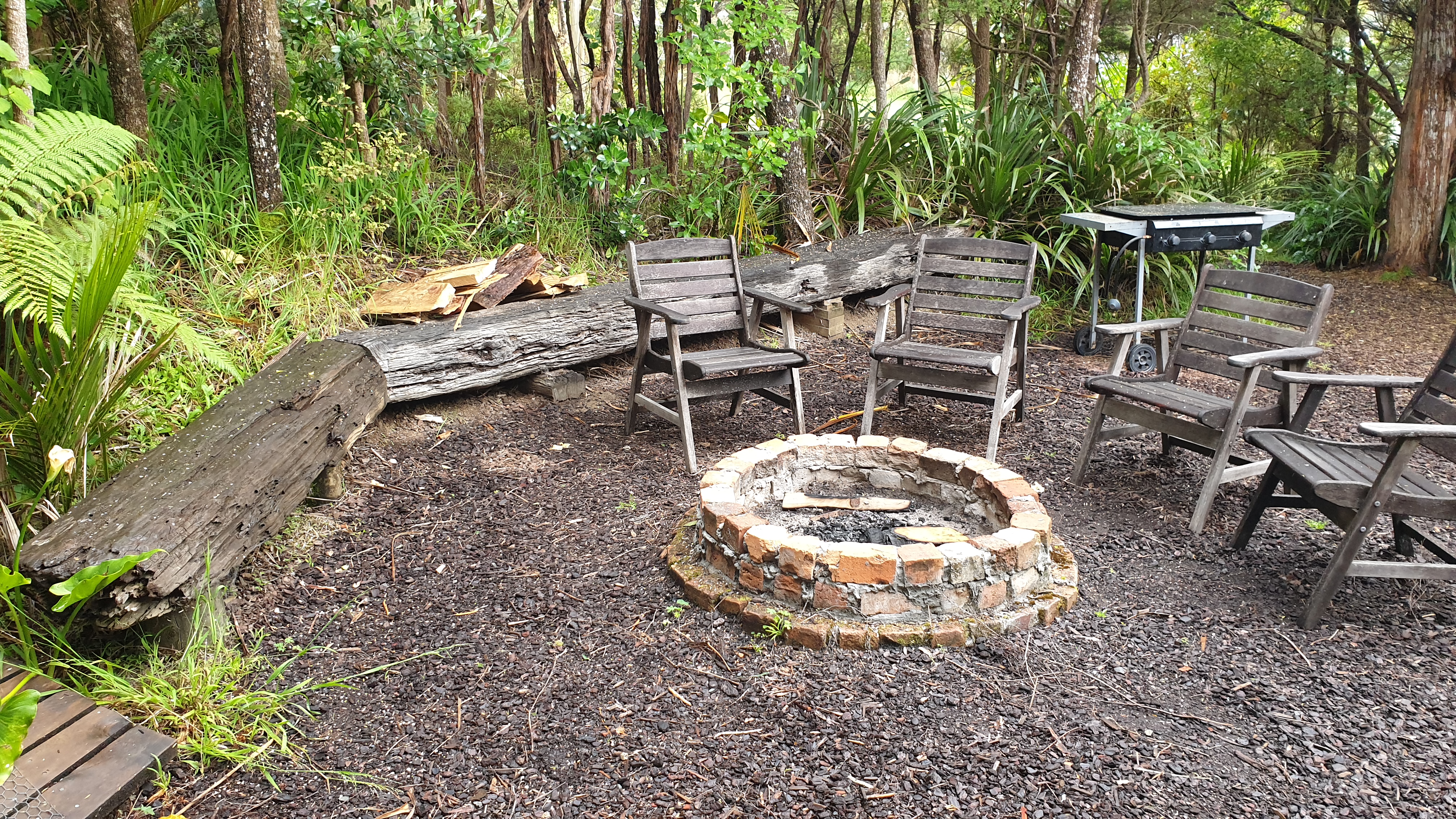
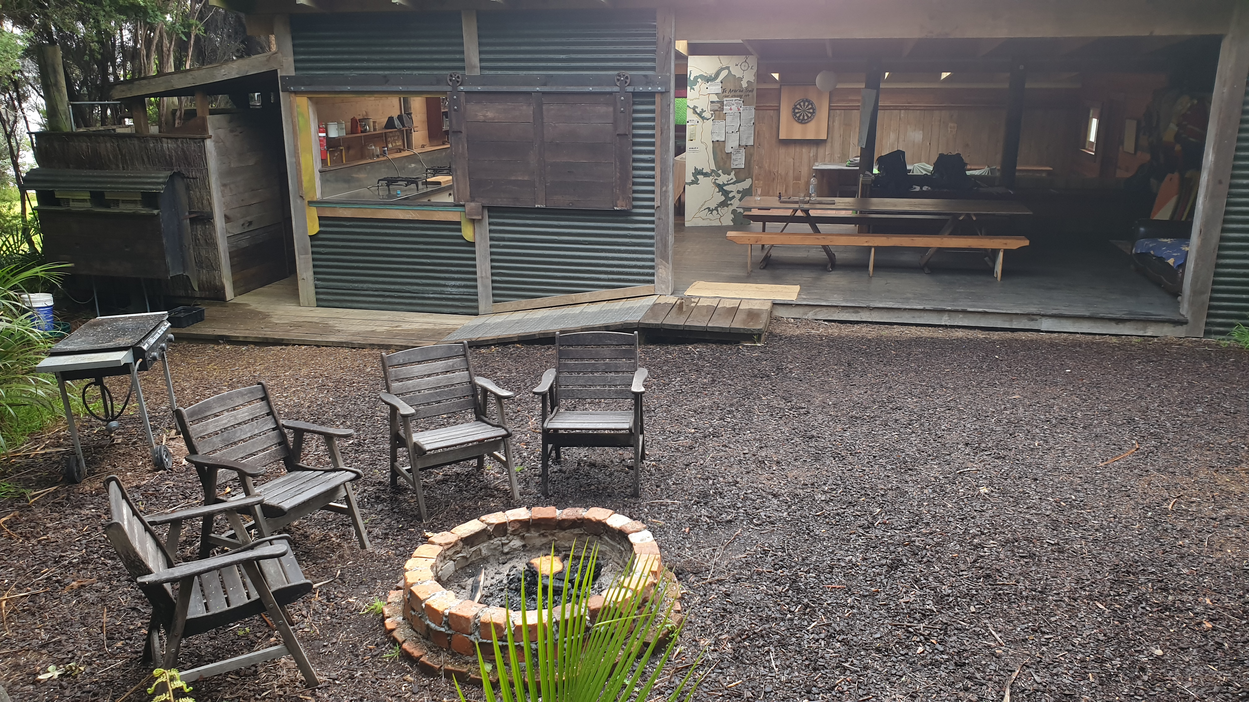
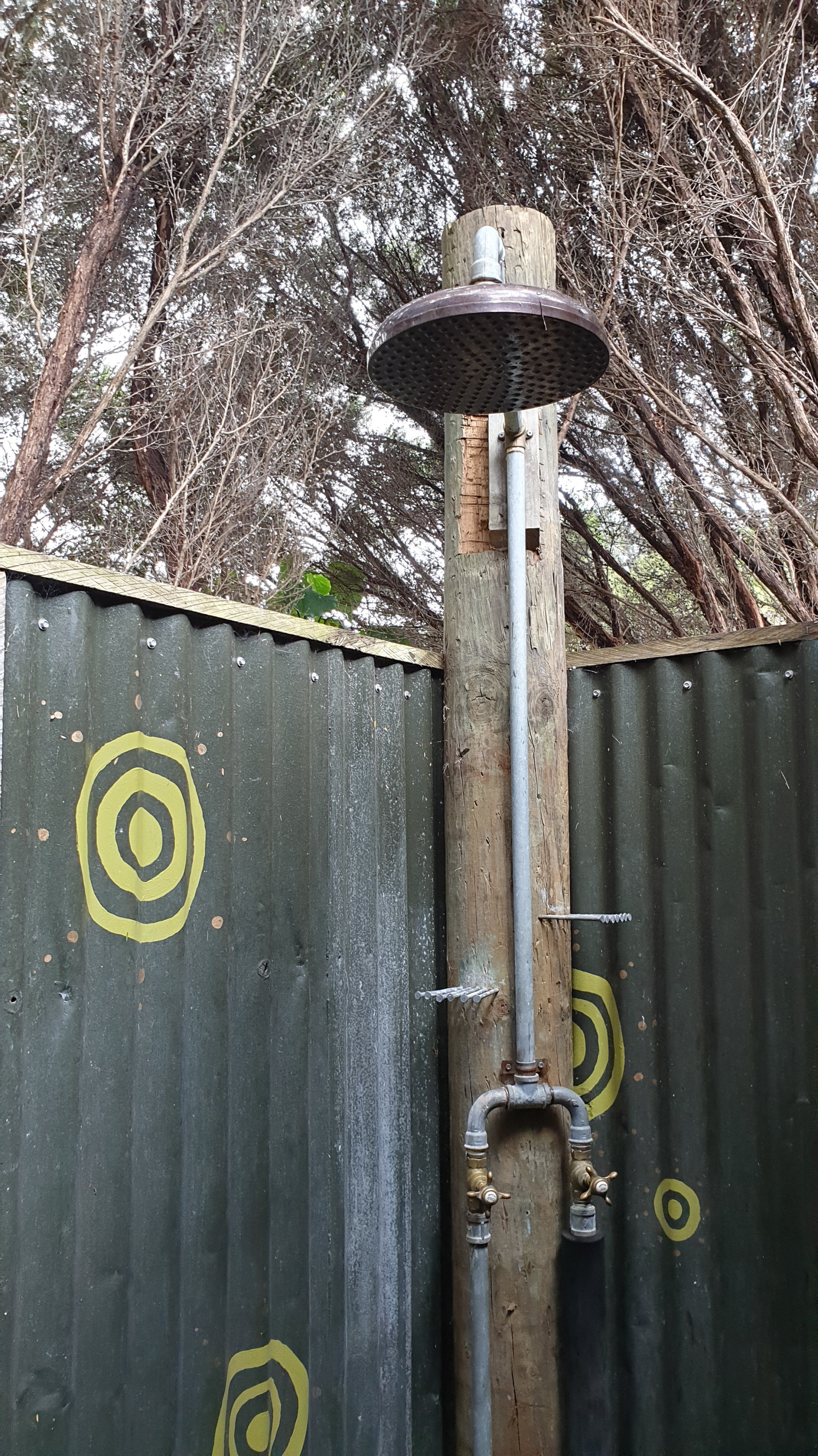
We then arranged with James, who owns the backpackers across the river in Nikau Bay, to get s ride in his boat. His place is really awesome, set in the bush, with hot showers open to the sky and trees. James prepared a fire, which we kept going into the night. We also discussed the next section of walking as it is heavily tide dependent.
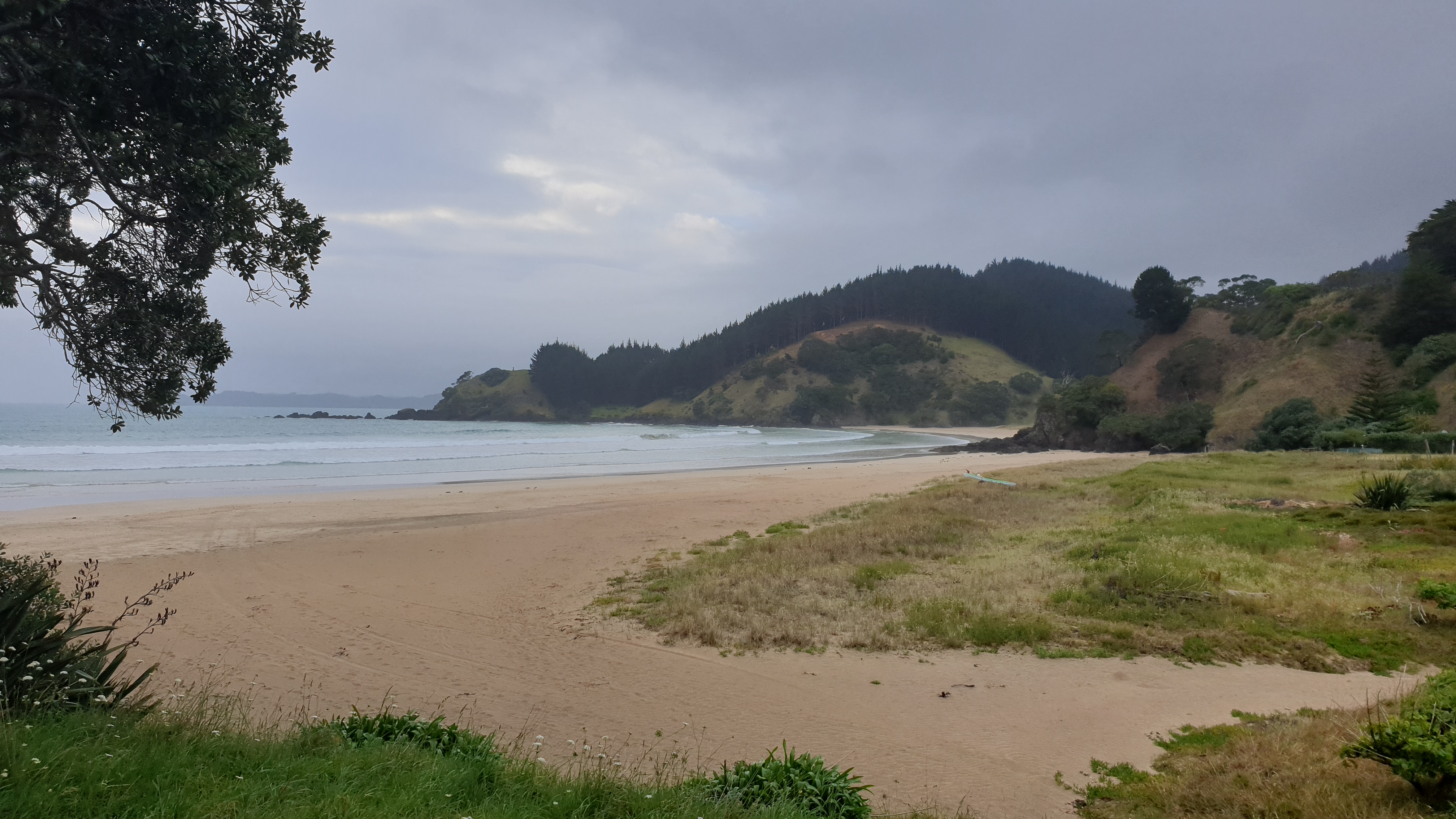
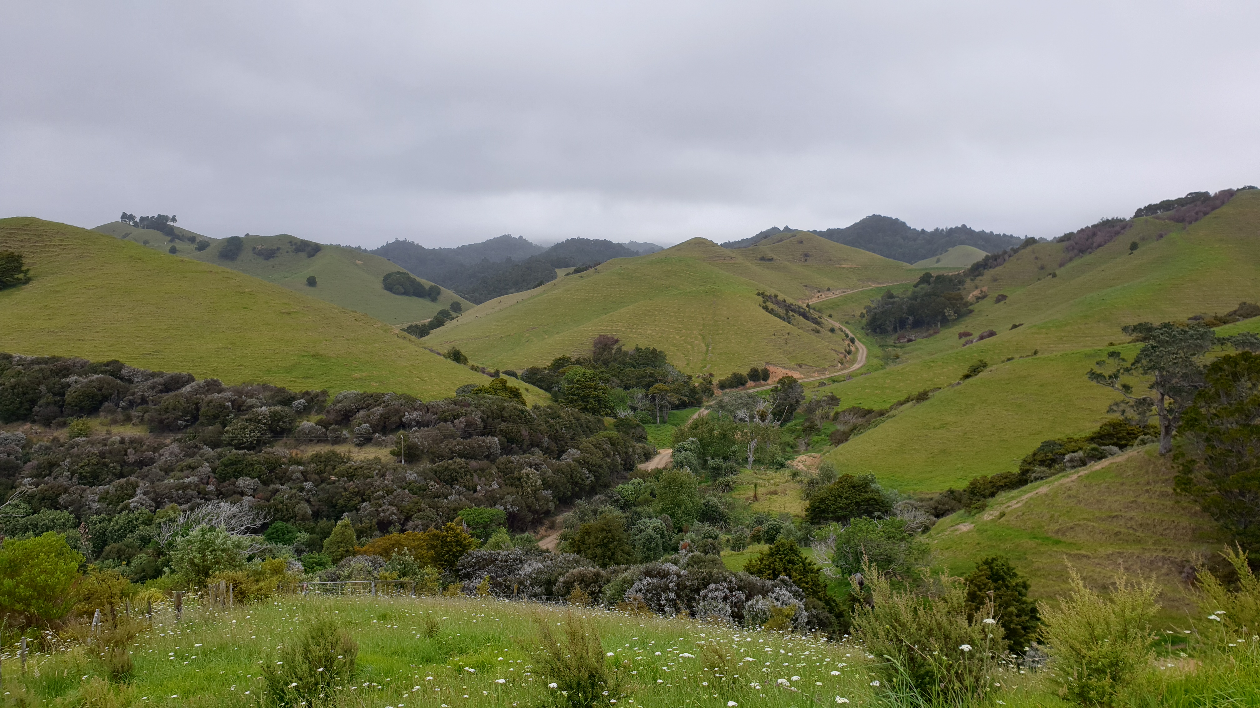
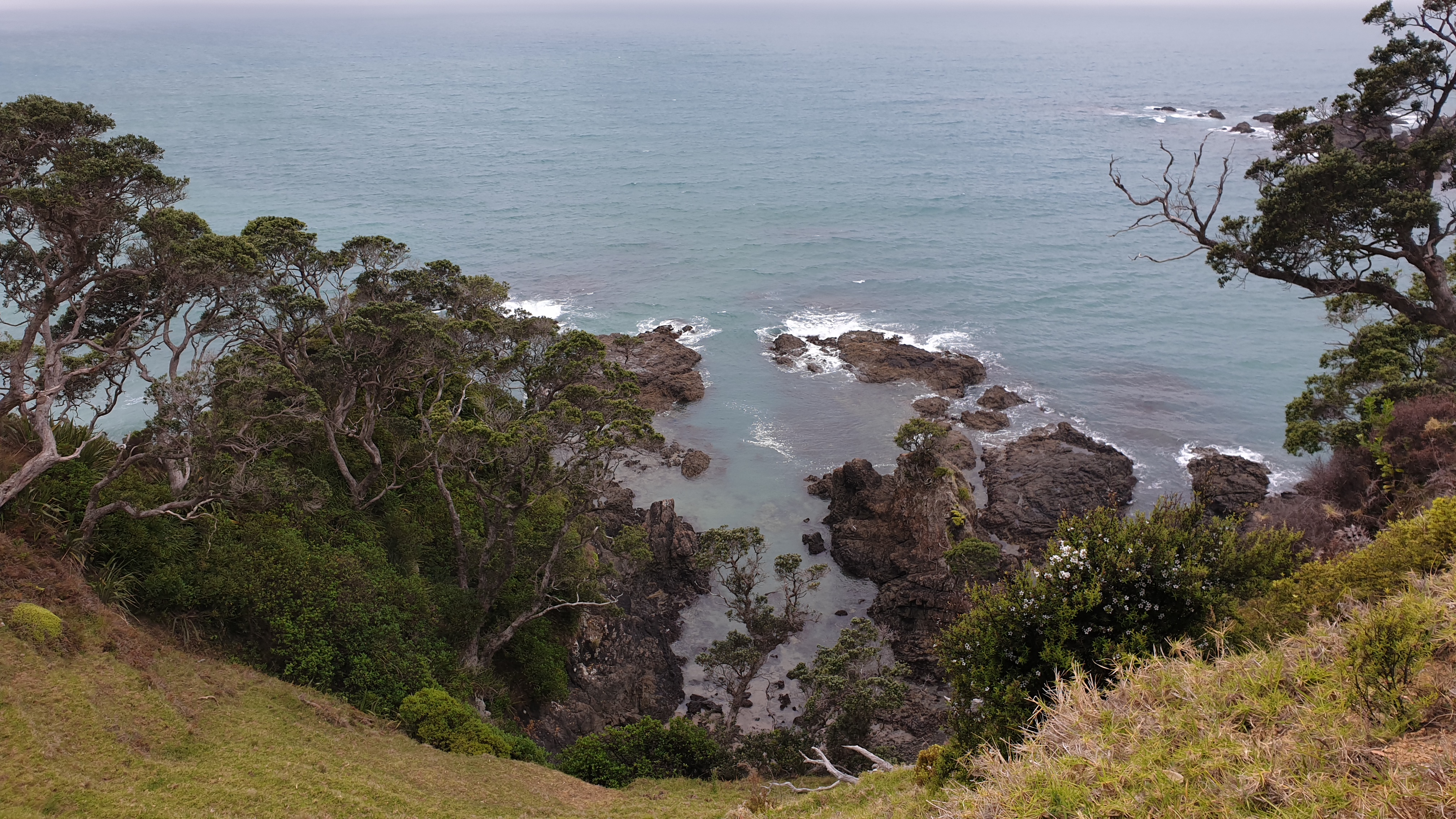
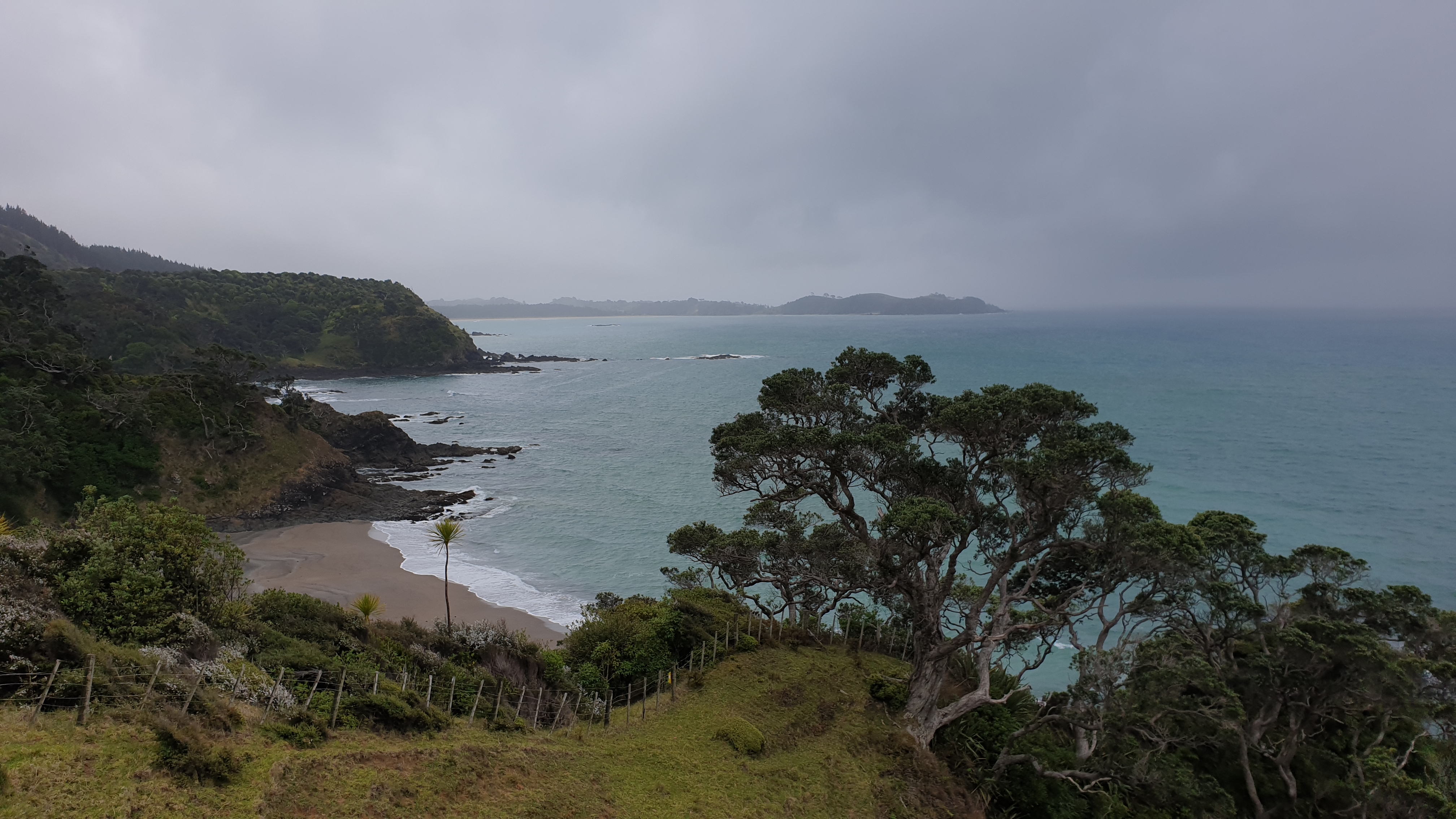
D
Day 22
Km 13
Cumulative Km 302.3
With the crossing of the Horahora River, an hour away, being strongly dependent on low tide, we had a very leisurely morning. Low tide at the river is 1.5 hours after low tide in the surrounding area, which made it at 14h30. We thus only left Nikau Bay after lunch.
Unfortunately we also lost Ari, the French girl who joined us yesterday. She decided that the trail was not for her and she will bus and backpack around New Zealand.
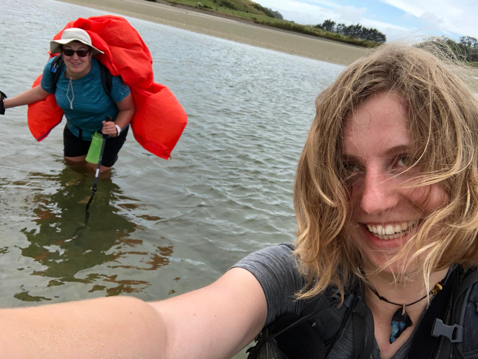
The walking today was through a Maori land shortcut, in dirt road. Then a little bit on beach until we hit the river crossing markers. The river was not fast flowing and at lowest tide time came to ¾ up the leg. Getting to the tarred road though went through muddy and smelly mangroves.
The remaining 10km was on tar road. However the kilometres were reduced as the people who we were going to stay at were not replying to texts or phone calls. We thus stopped early, at Treasure Island camp site in Pataua South. When we arrived there, there was no one at the office, no one answered phone calls and no campers around. Moritz went to try and find someone and came back successful!
It was starting to rain when we were paying , and the lady suggested that we set up in the rumpus room rather than in our tents as it would be a wet night. We were so glad that she did as a thunderstorm came through at about 8pm. We would not have been particularly happy campers outside, I reckon!
After the storm passed there was a beautiful orange, pink and peach sunset.
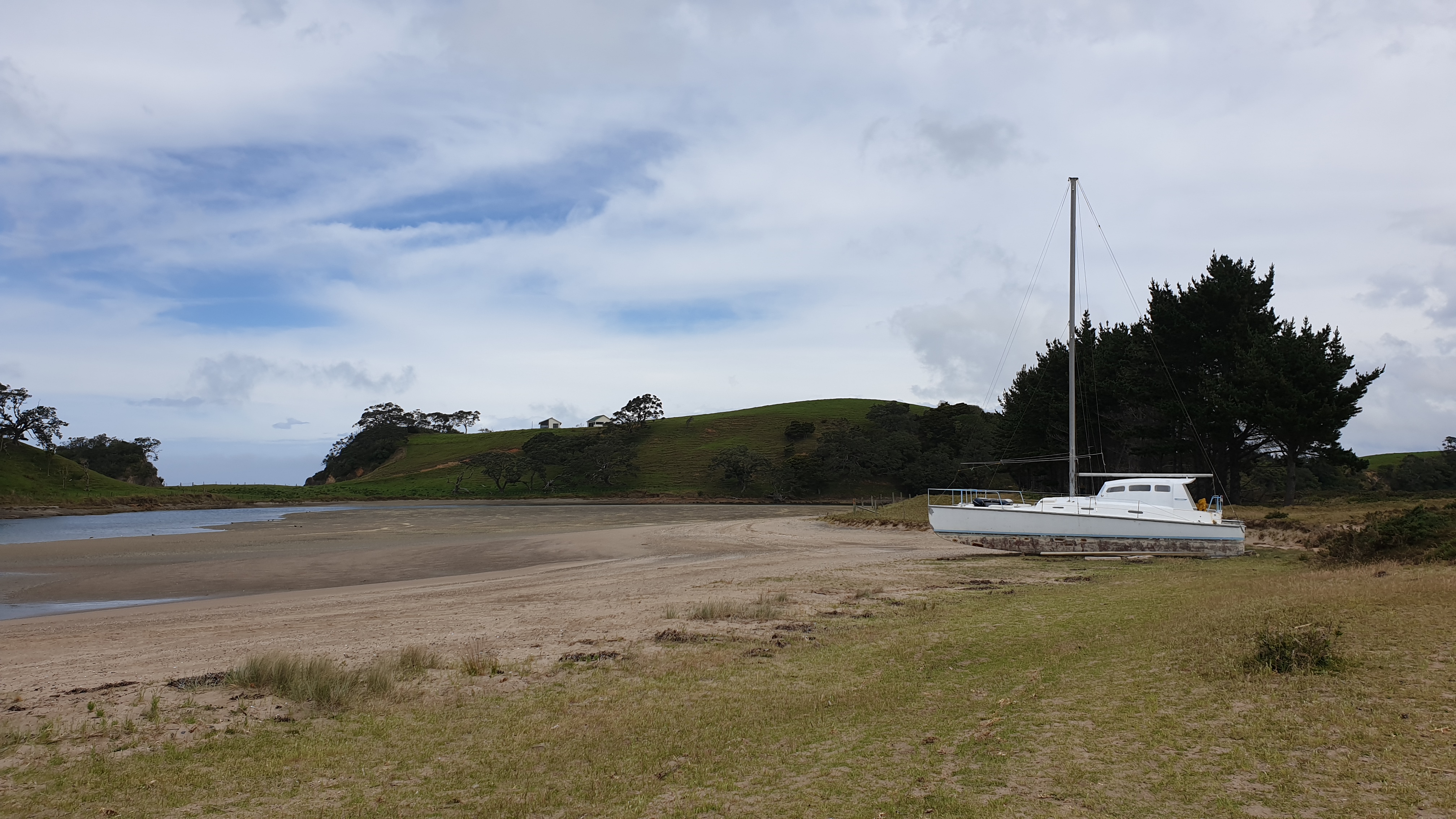
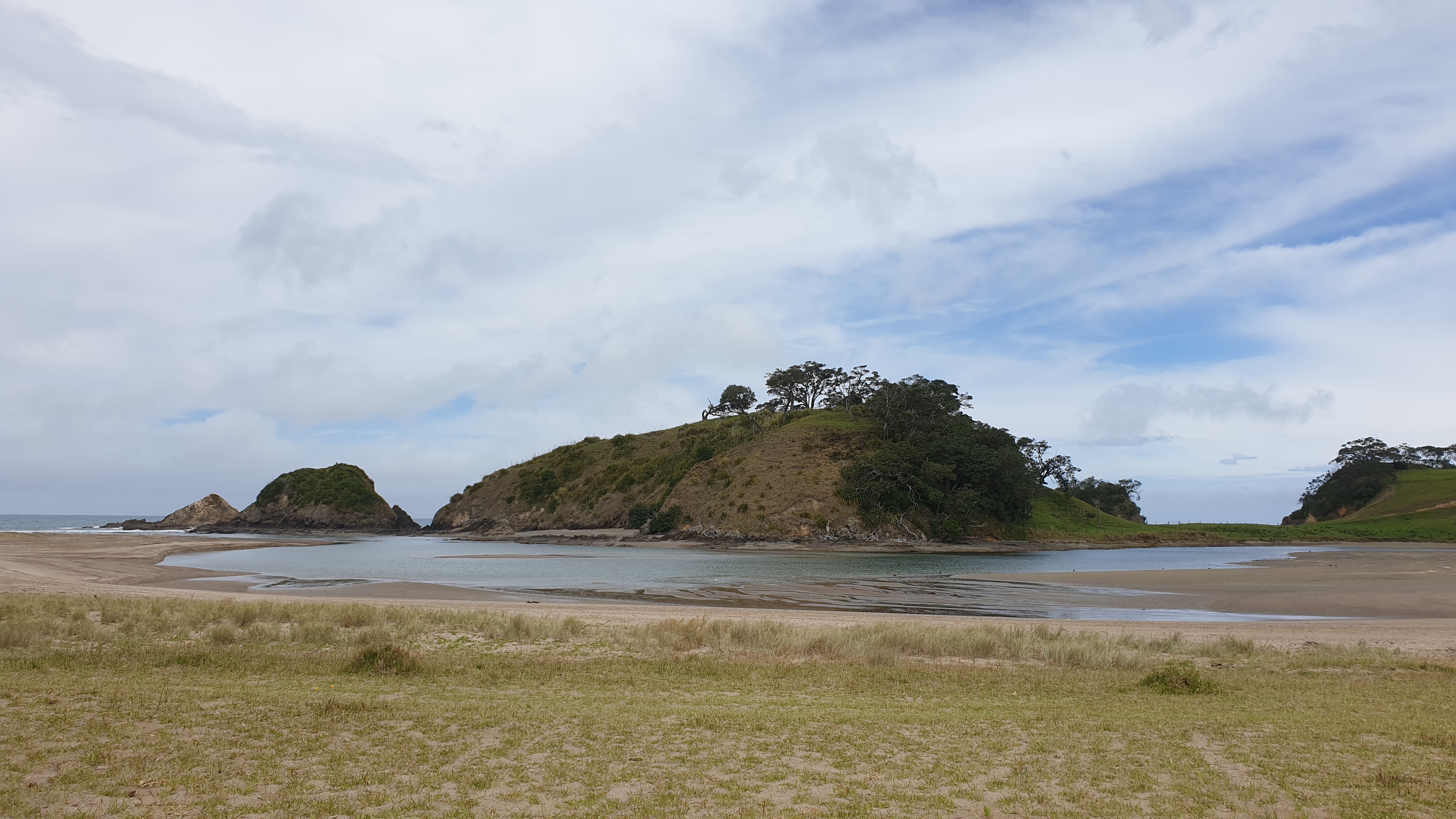
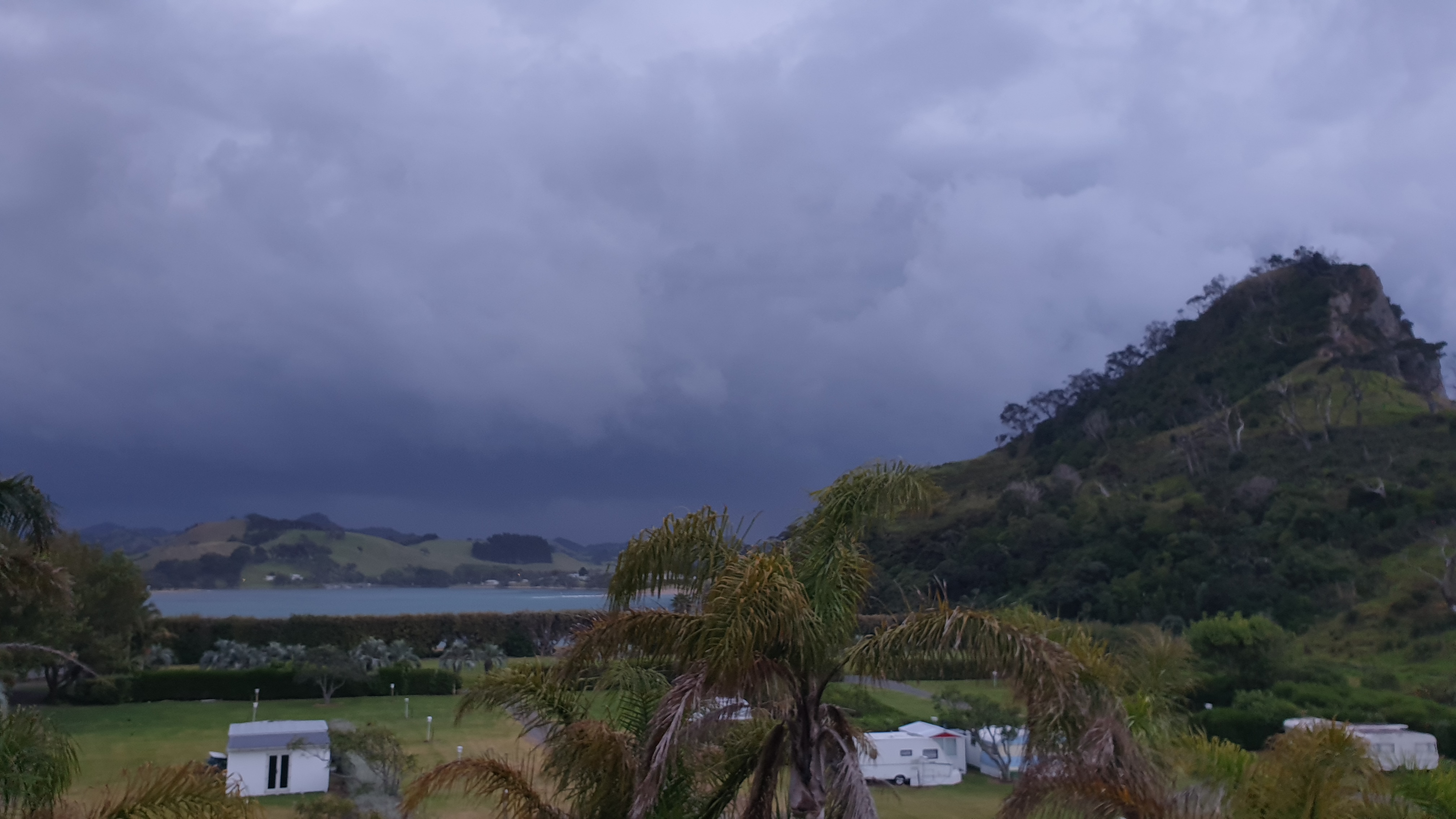
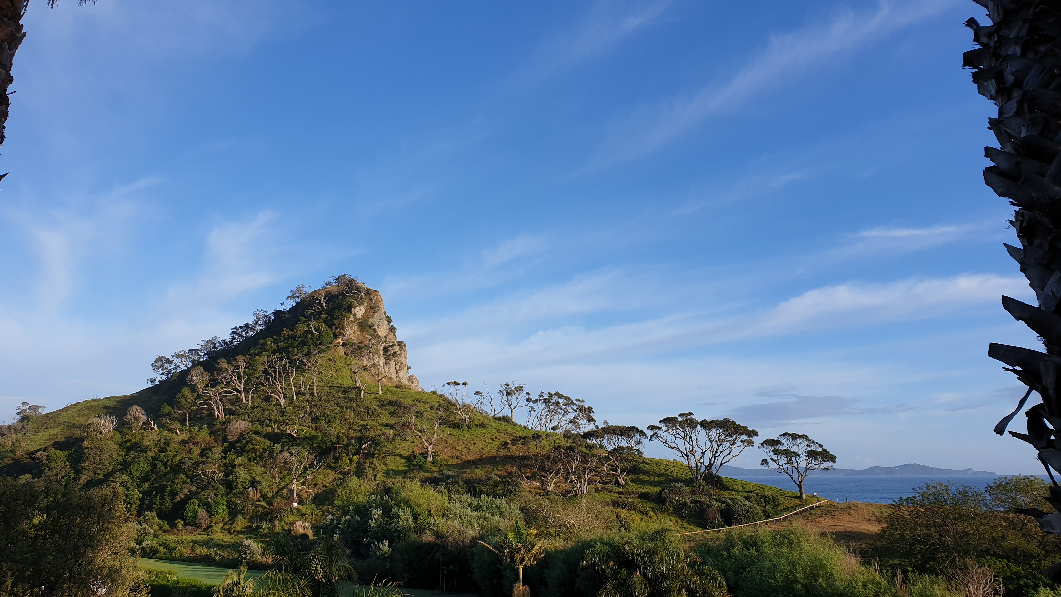
Day 23
Km 20.7
Cumulative Km 323
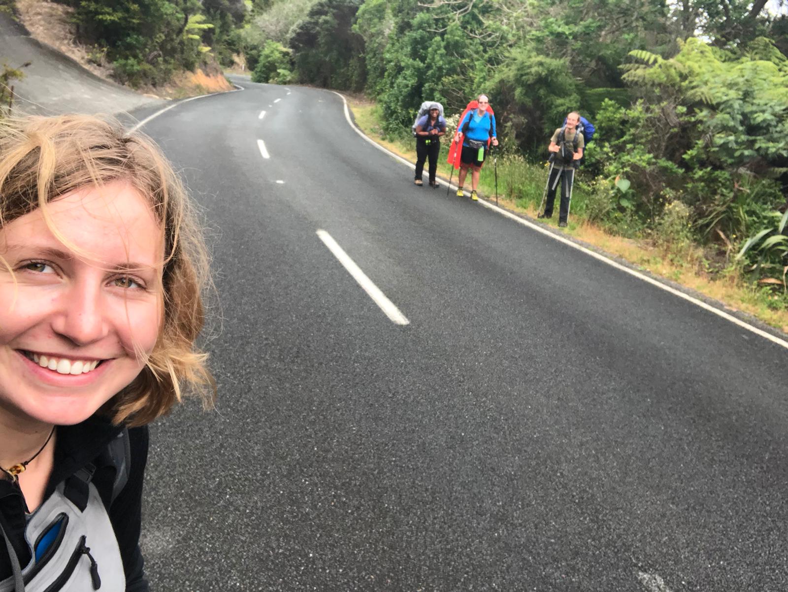
We set off shortly after 7am and hit the road, there were going to be many road kilometres today. After the first few though, we decided that we would try and hitch. Several cars passed us, but were full of school kids. After 20min of no success we carried on walking.
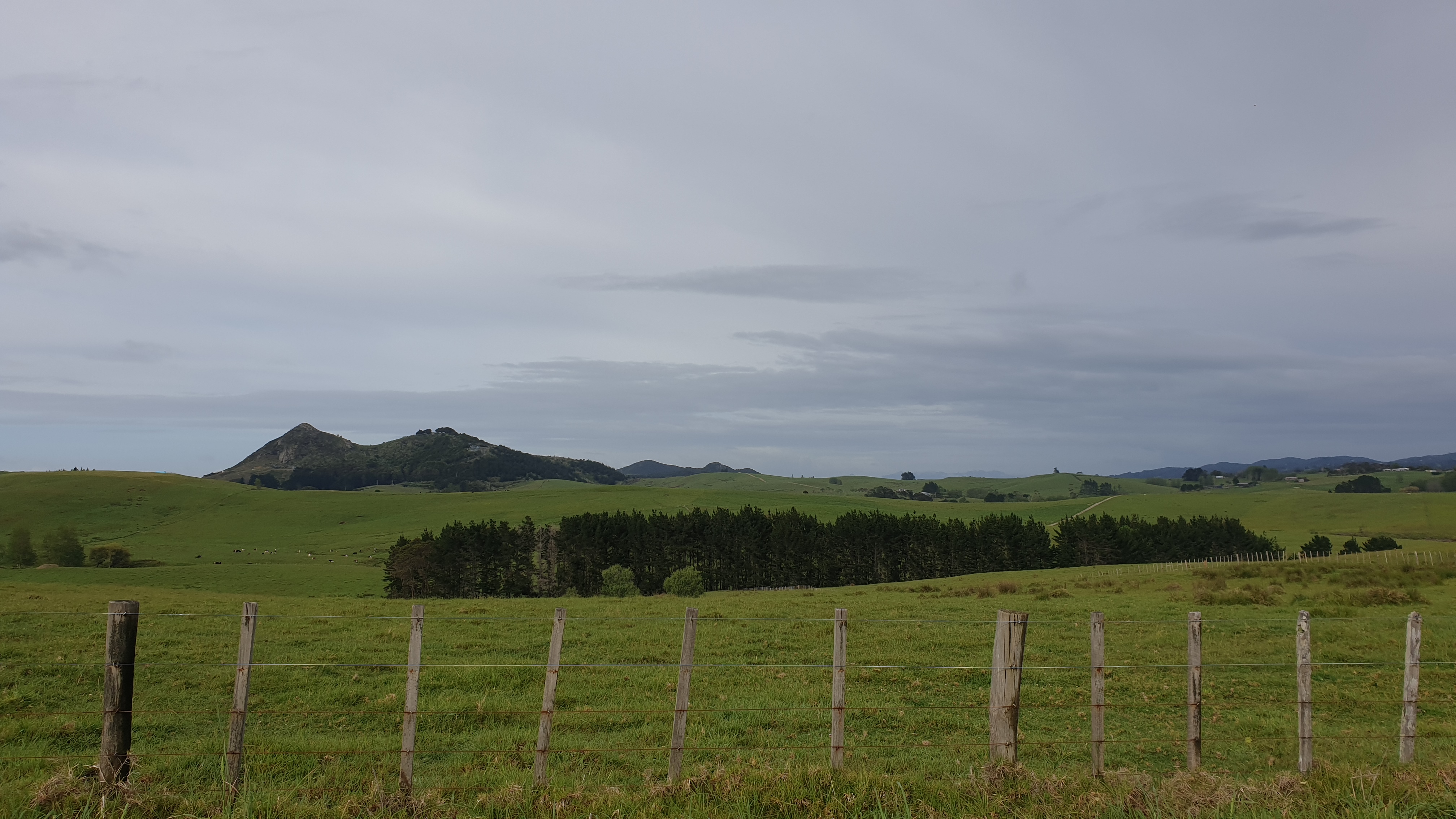
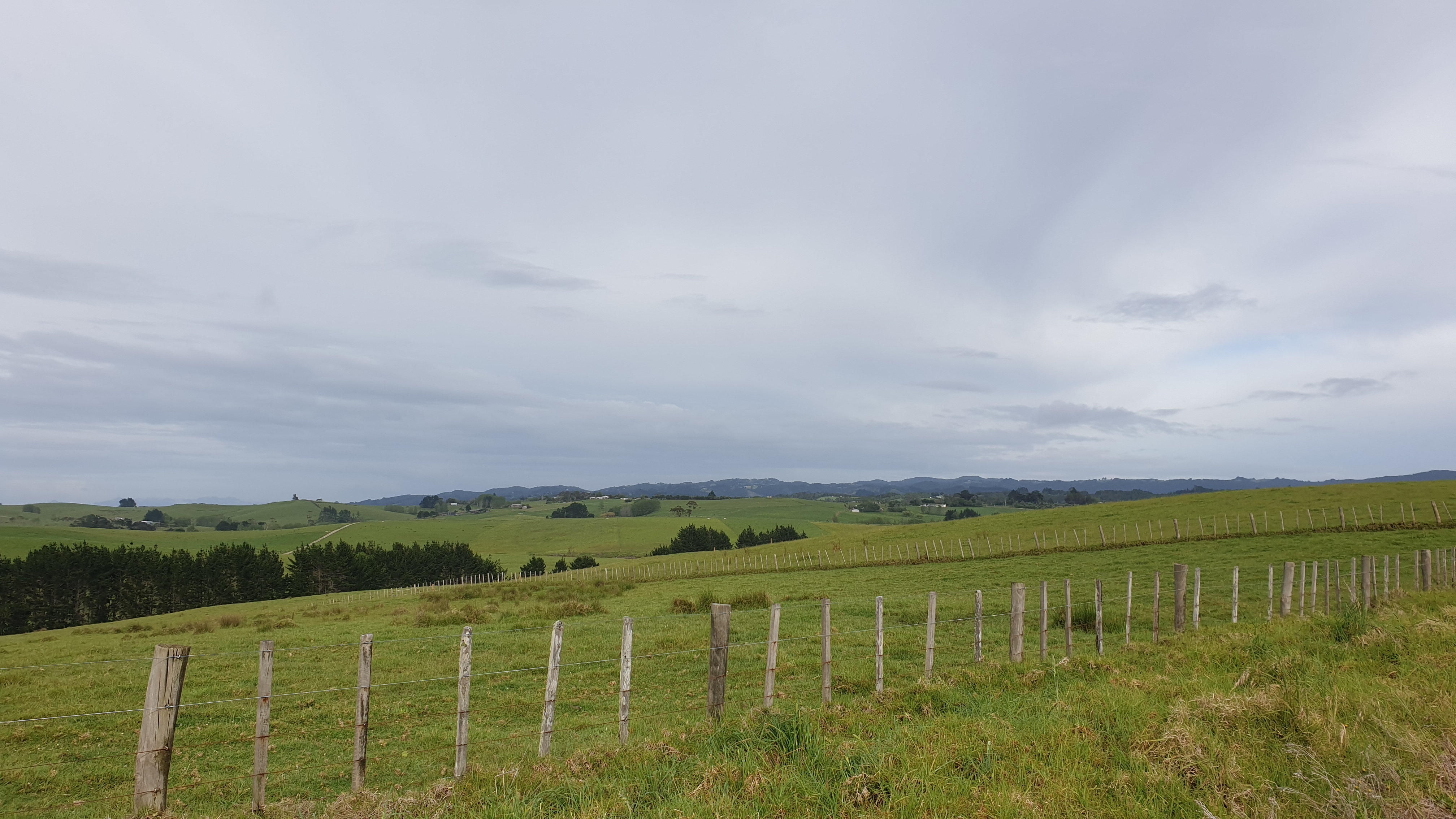
The road was narrow though with very little place to move away from traffic, so at another section we tried again and George, a guy on his way to work, stopped for us and took us all the way to Kauri Mt Rd. Carrying on, on the dirt road was a pleasant walk through cow pastures and onwards to Ocean Beach.
It was only a 6km stretch on the beach, so not as bad as 90 Mile Beach!
The beach had great views of Te Whara Trail , which is a very challenging but stunning trail and part of the TA. However the trail was closed for Kauri dieback maintenance. After having some lunch at the end of our stretch of beach we had 10 more kilometres of road walking to do to get to Reotahi Bay. By this time a steady light rain had set in and continued throughout the afternoon and into evening.
With sore feet and weary from dodging cars on the road we figured we would try and hitch again until the end of the road, and our destination. Lo and behold, the first car the passed us , stopped and we were in! It was a lovely older gentleman. He heard me saying that we were hoping to stop by a shop, which had unfortunately been permanently closed, to buy chocolate, but he said he may know of another that might do the trick. It was open! So we got chocolate and lunch! Well, 2nd lunch 🙂.
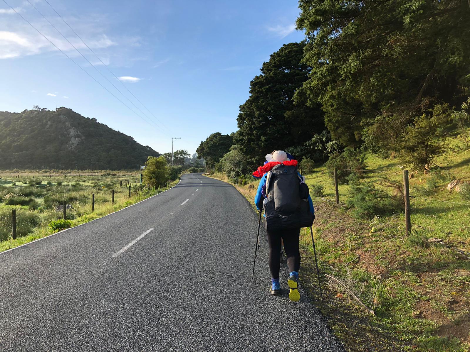
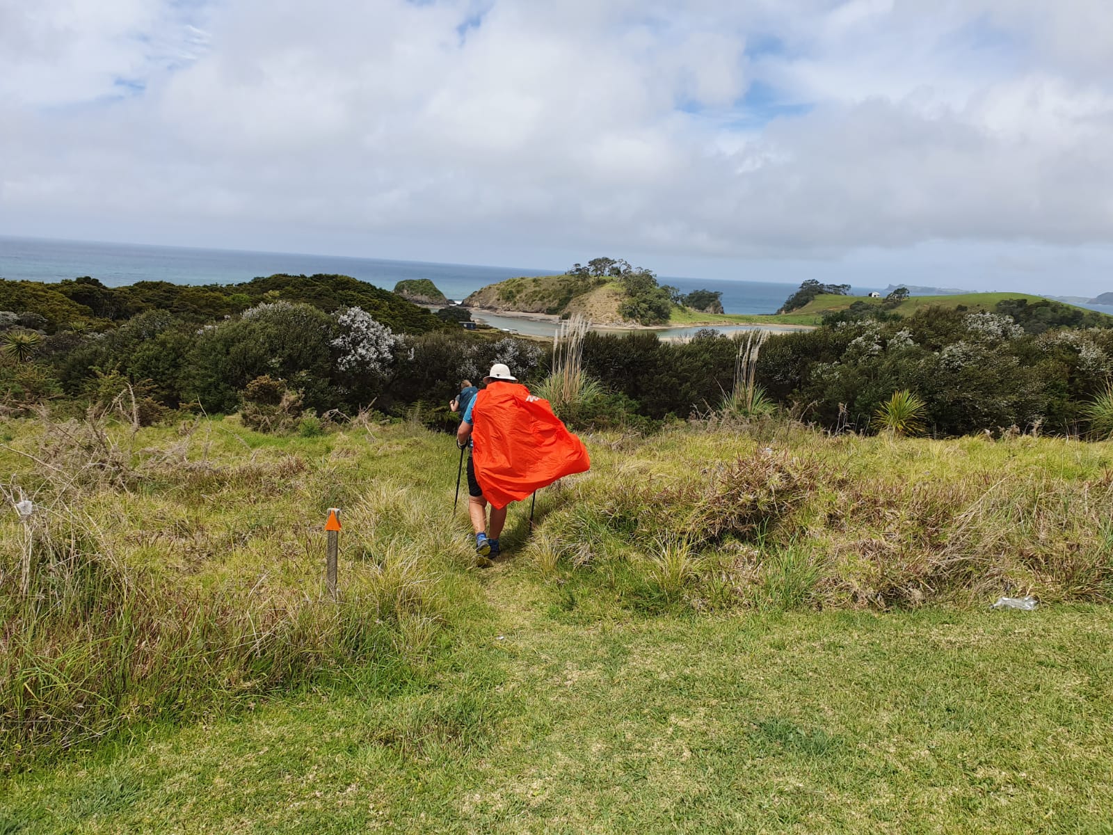
We were due to camp on the lawn of some lovely trail angels- Clare and Graham. However with the rain we half asked and they half offered their covered porch. So we didn’t have to deal with the weather again ! We could even shower in their bathroom- how lovely of them! And all for $5!
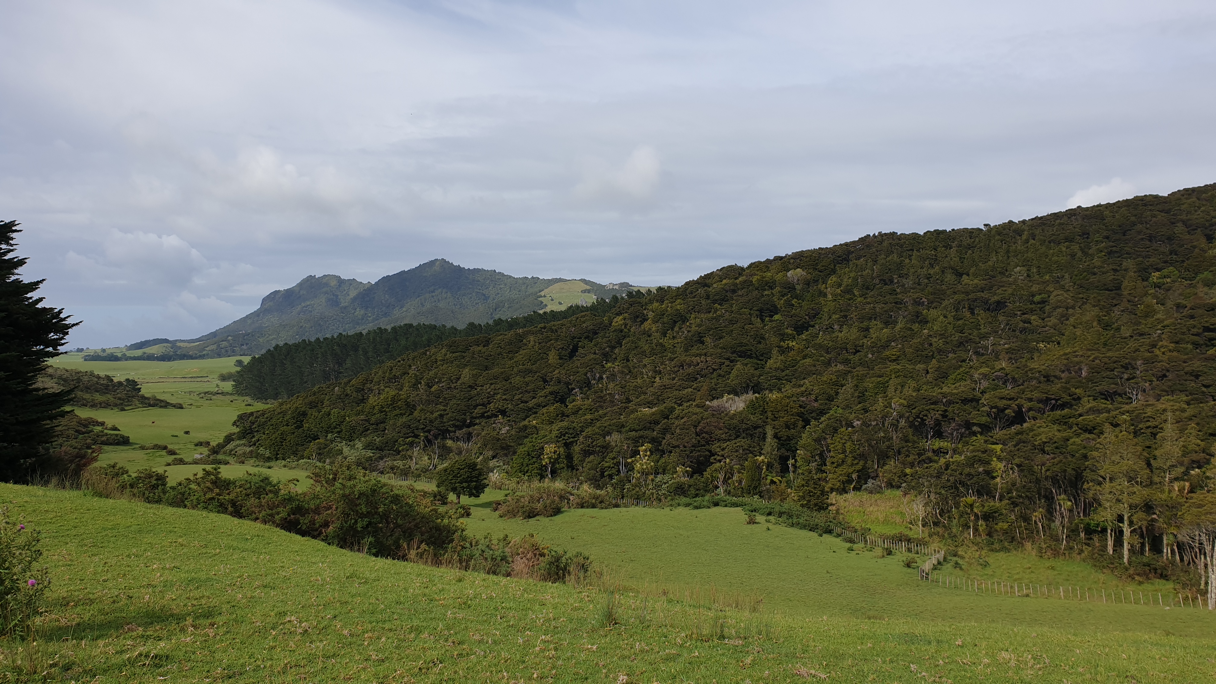
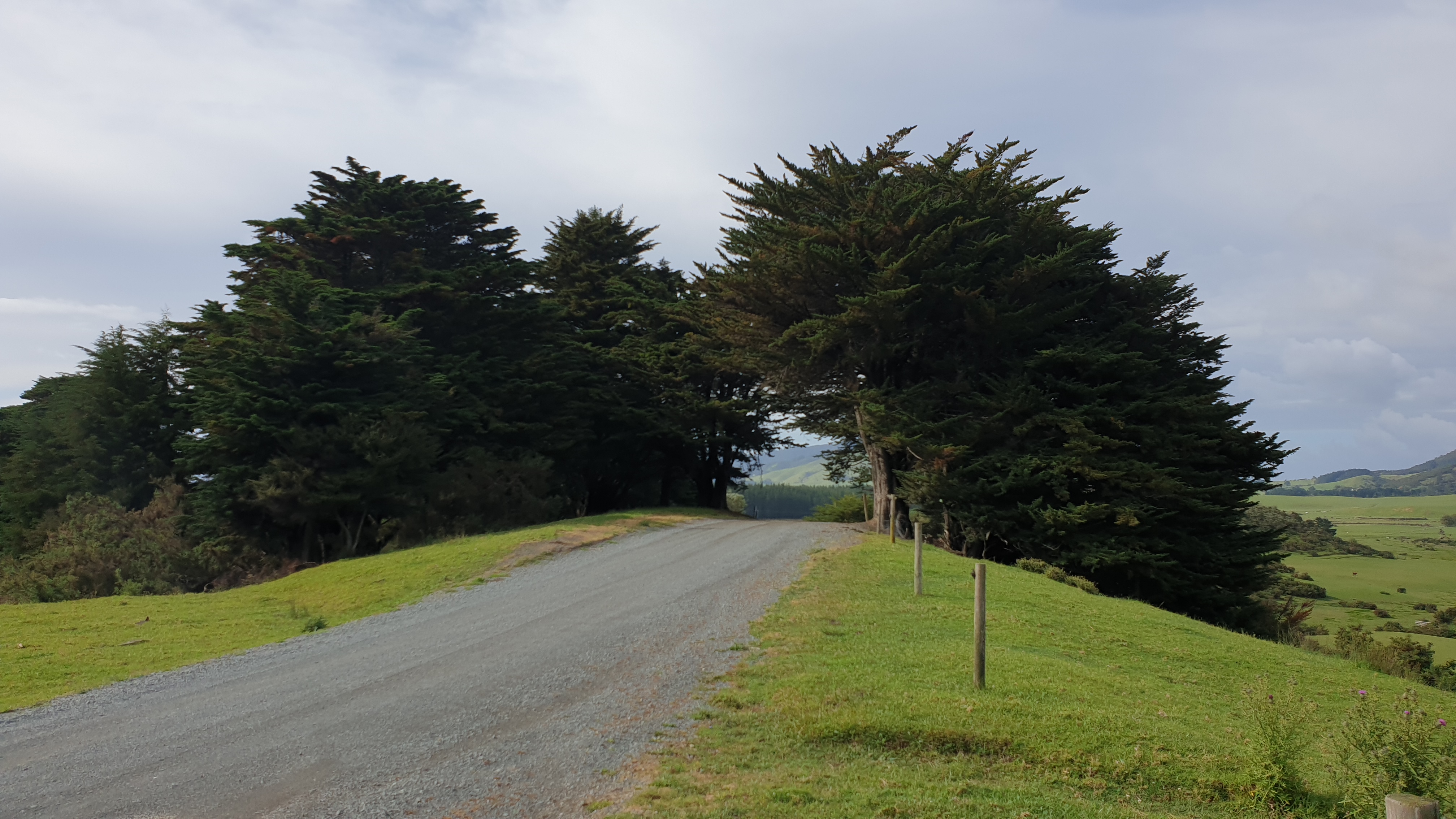
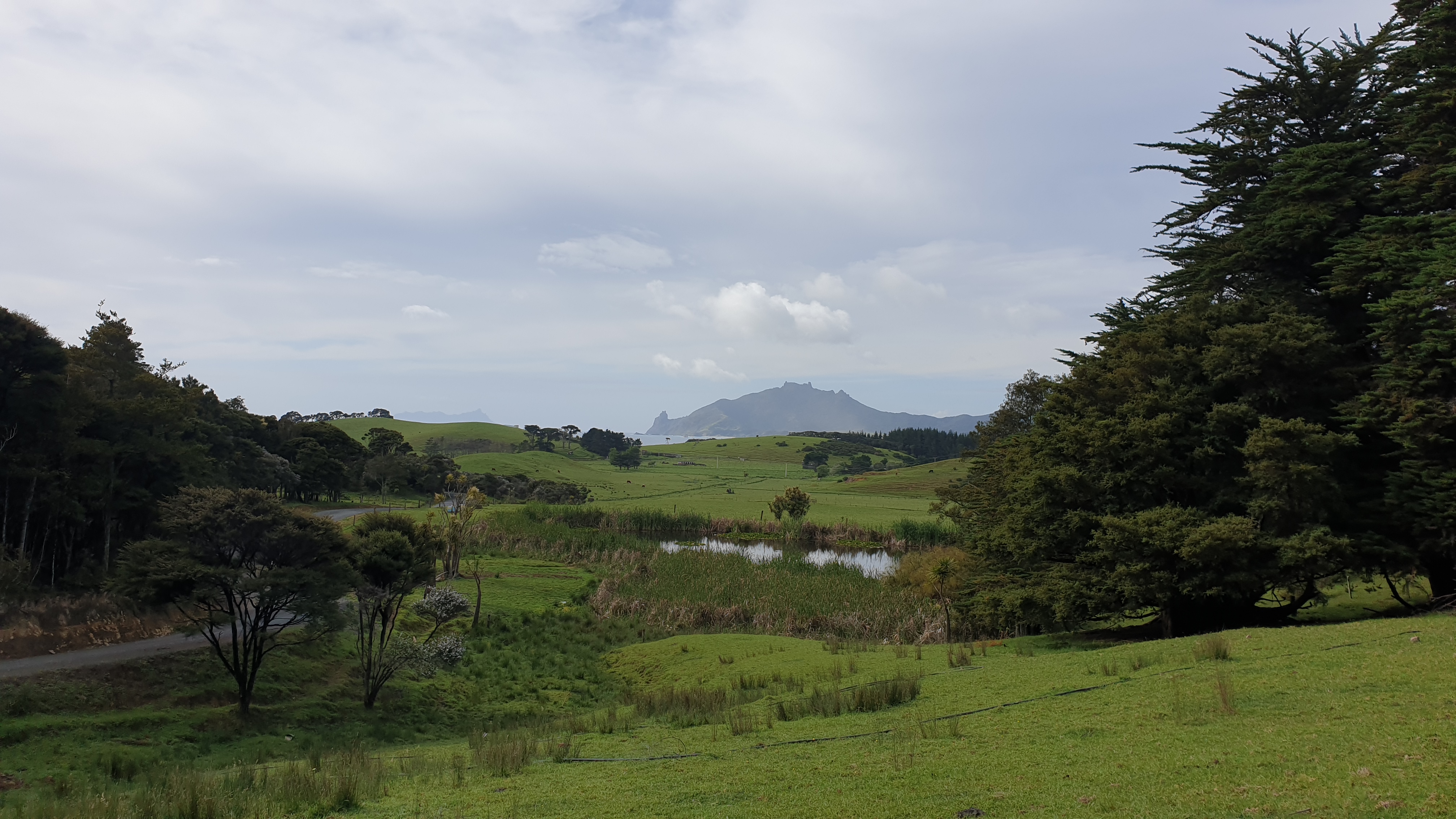
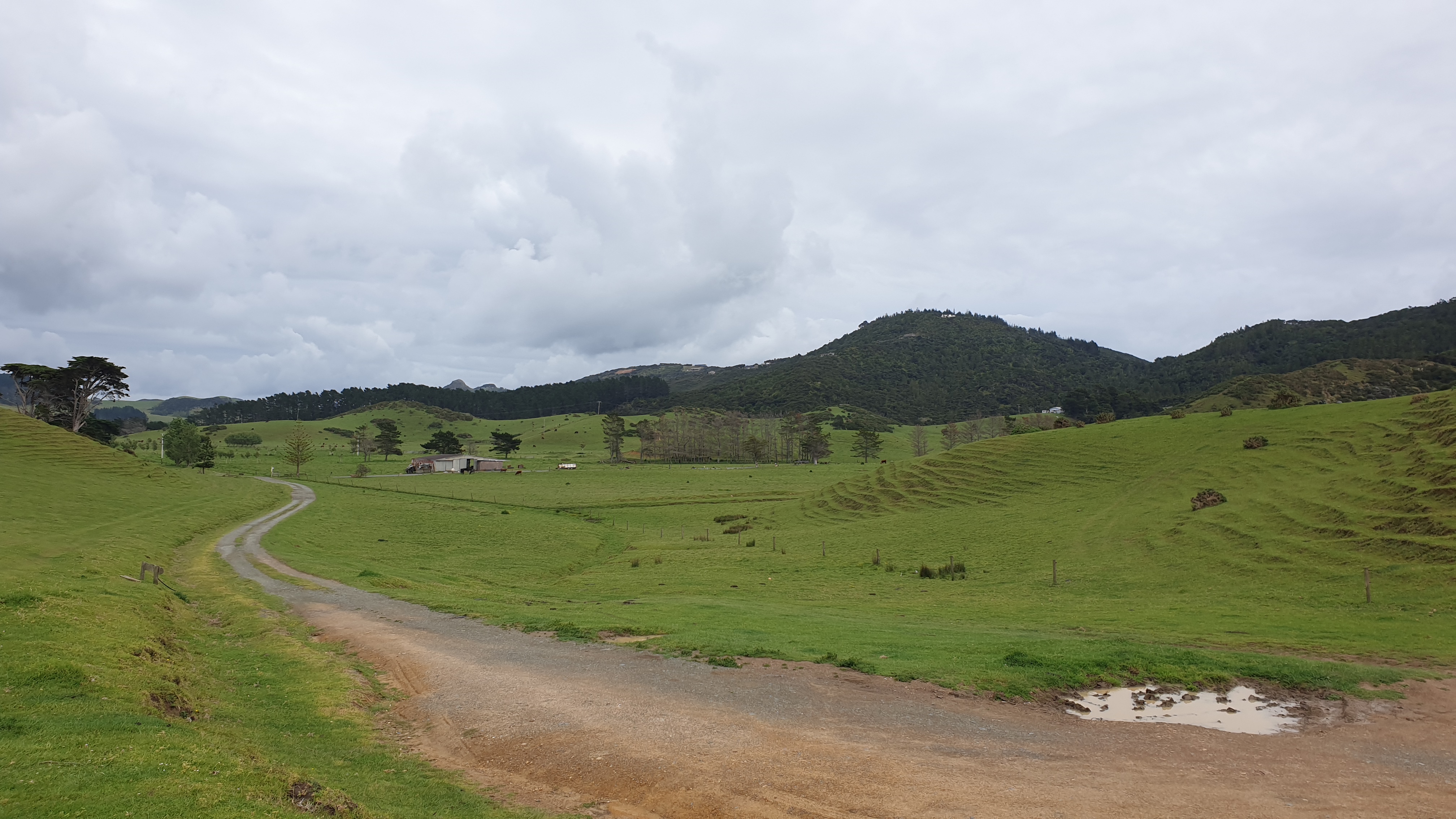
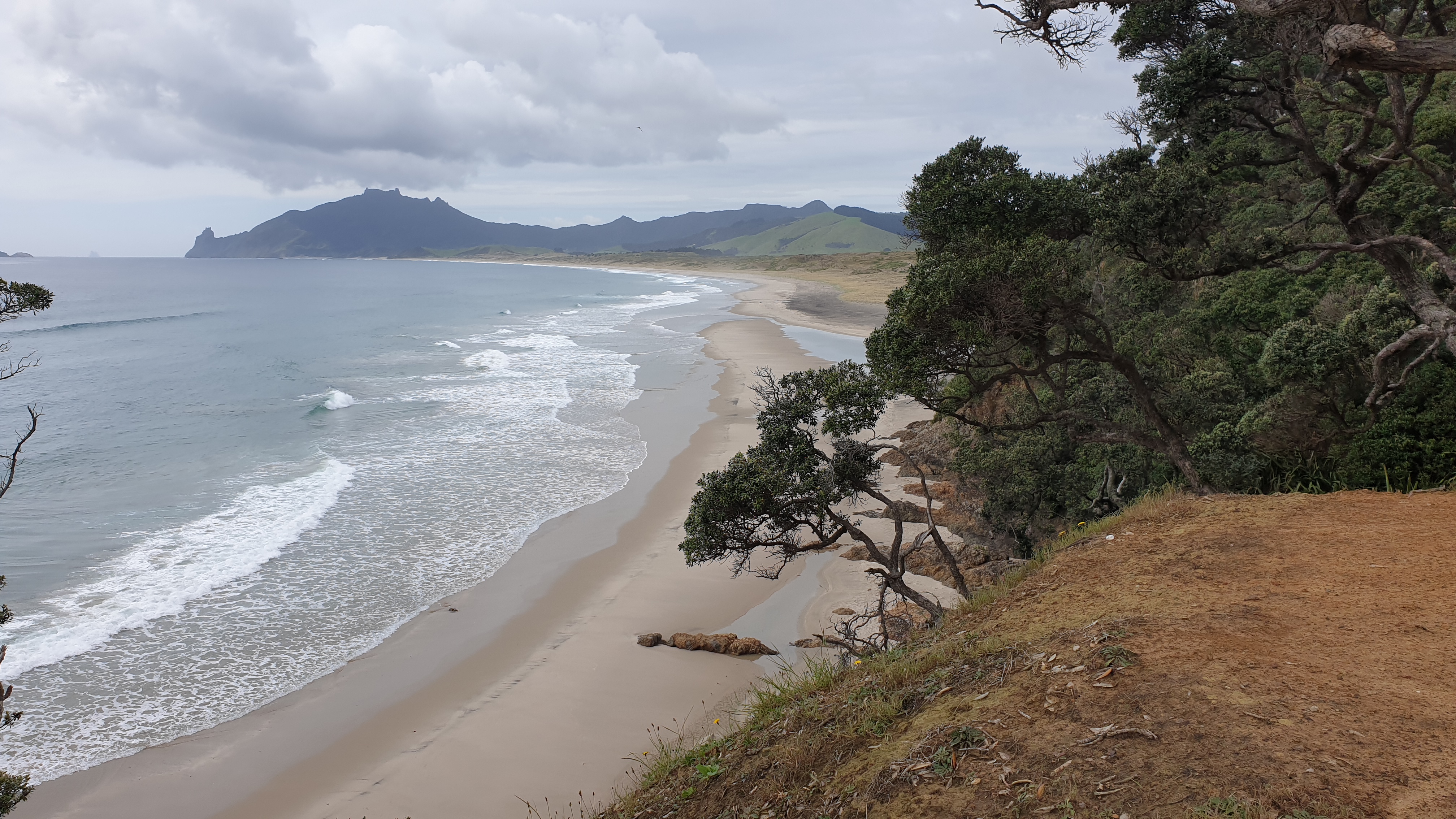
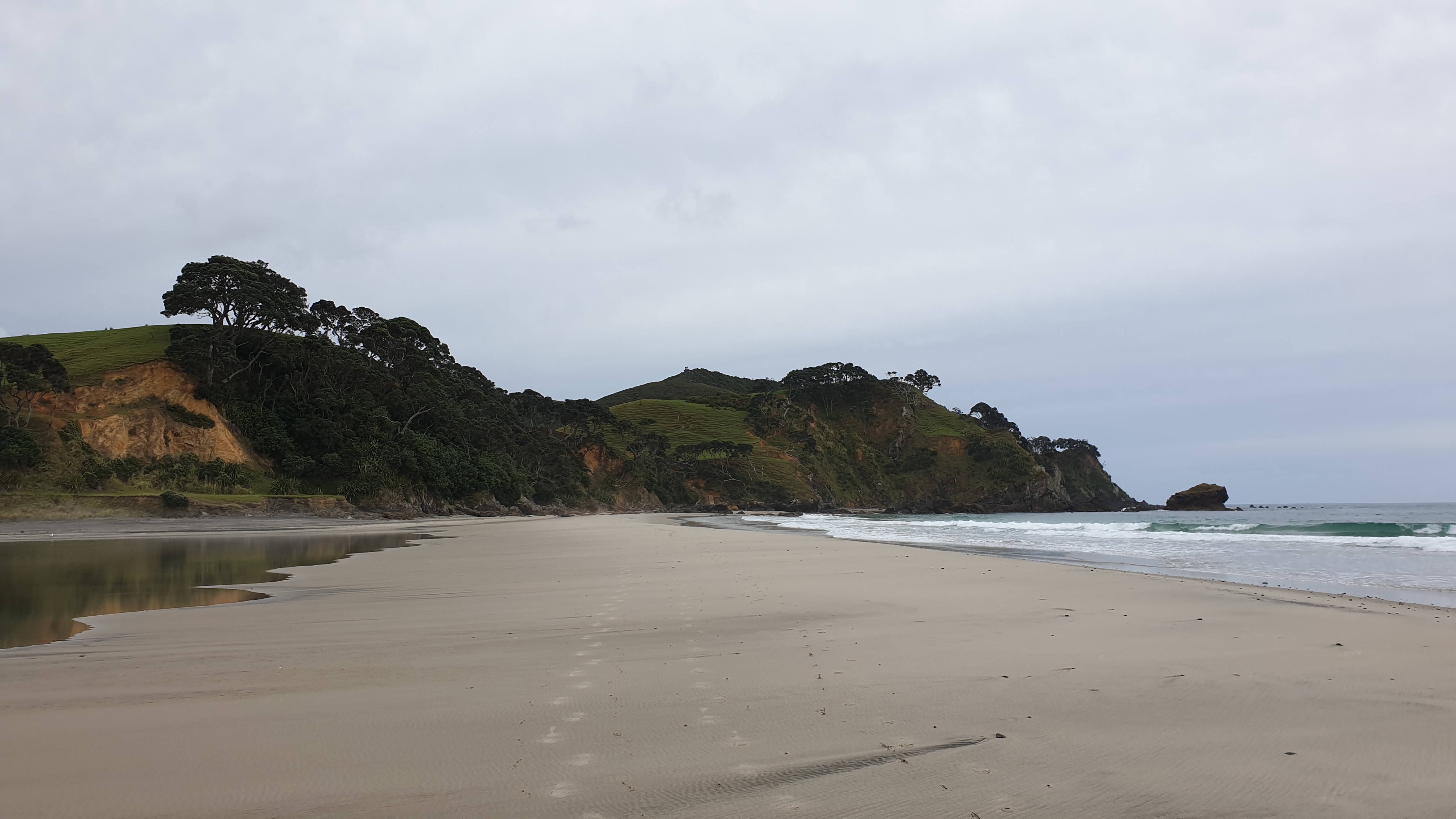
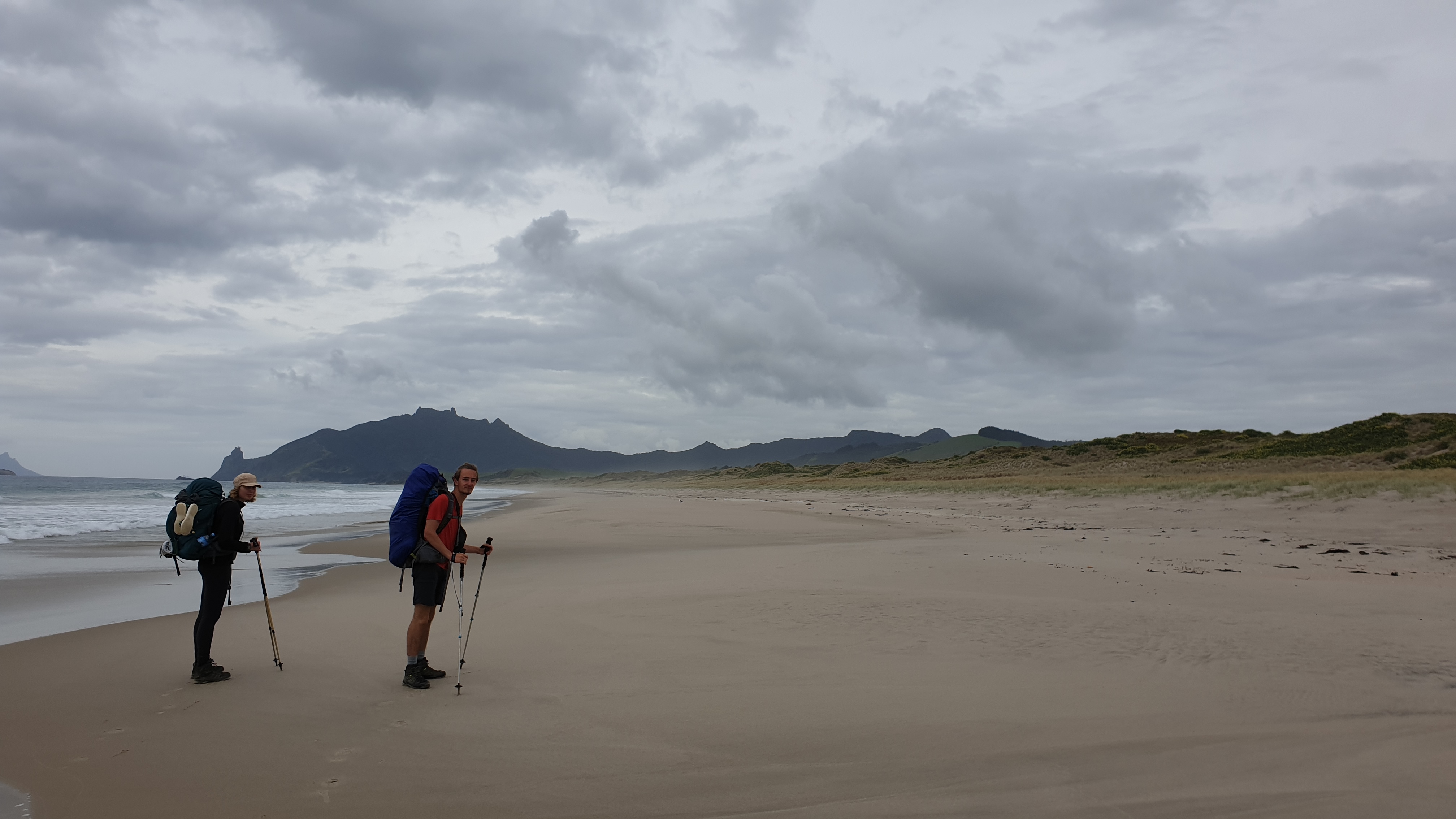
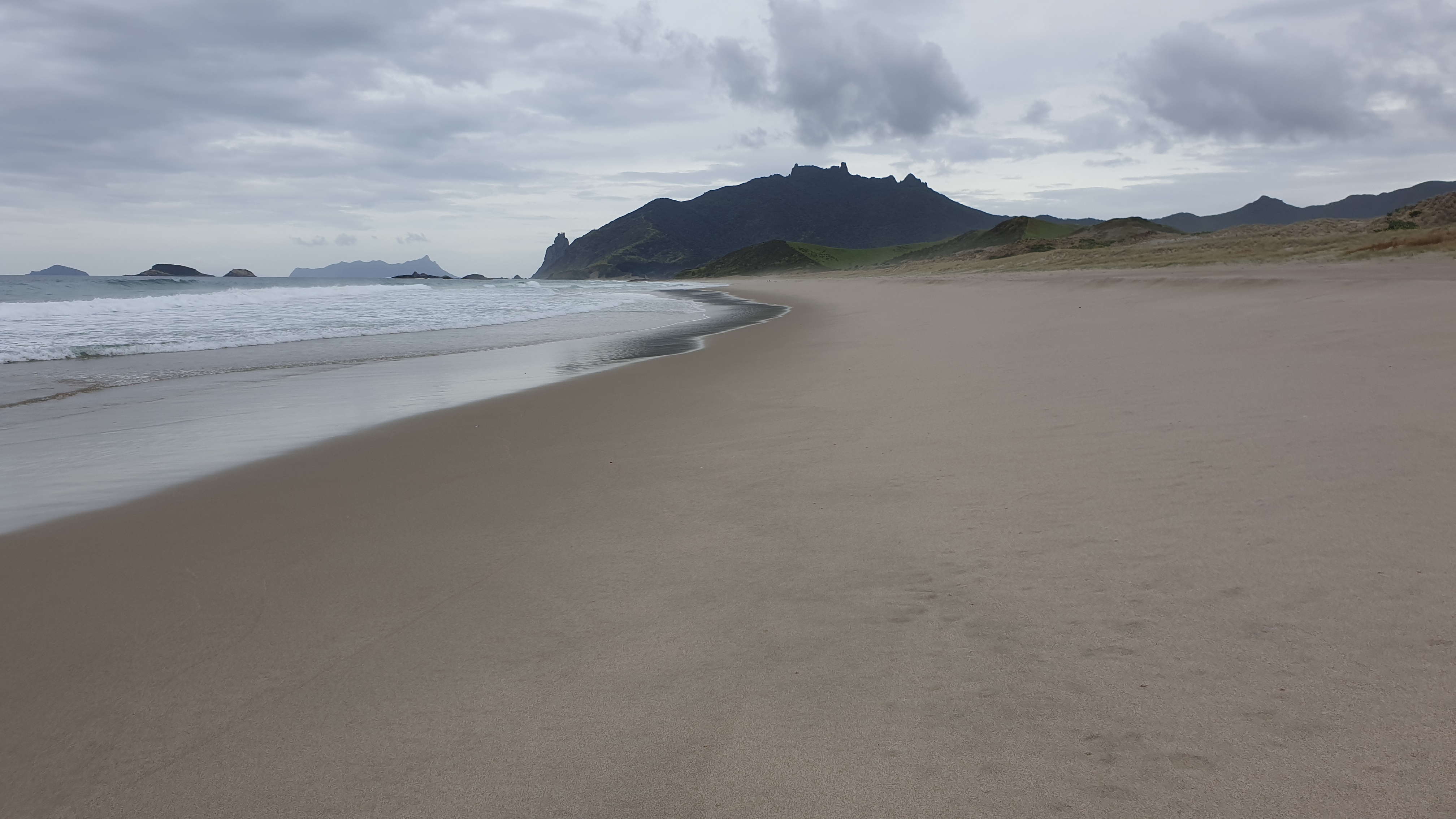
Punaruku to Whananaki
Day 19
Date 7 November
Km 17.7
Cumulative Km 246.3
The day started out with some proper breakfast- with the availability of eggs and bread , I wanted to make French toast. The Germans, never having had it before?!?!, looked on with interest and decided that they too were going to make some! They loved it!
Our walk started with an unexciting 12km road walk, though there was huge amount of oncoming traffic! We found out from some locals at Helena Bay, that everyone was going to see the arrival of a number of historical ships and Maori wakas- war canoes- that were headed to Waitangi. Unfortunately we had just been there and were missing out on this action.
We had an early lunch at a misty Helena Bay before starting the Helen Ridge trail. It was a good ,wide trail most times and also meandered, though mostly uphill, through kanuka and regenerating forest.
The uphills were tough! We made it to our camp at km 297.8, a clearing in the forest, at about 2pm. We discovered that there was very minimal water in the tank and went on rations.
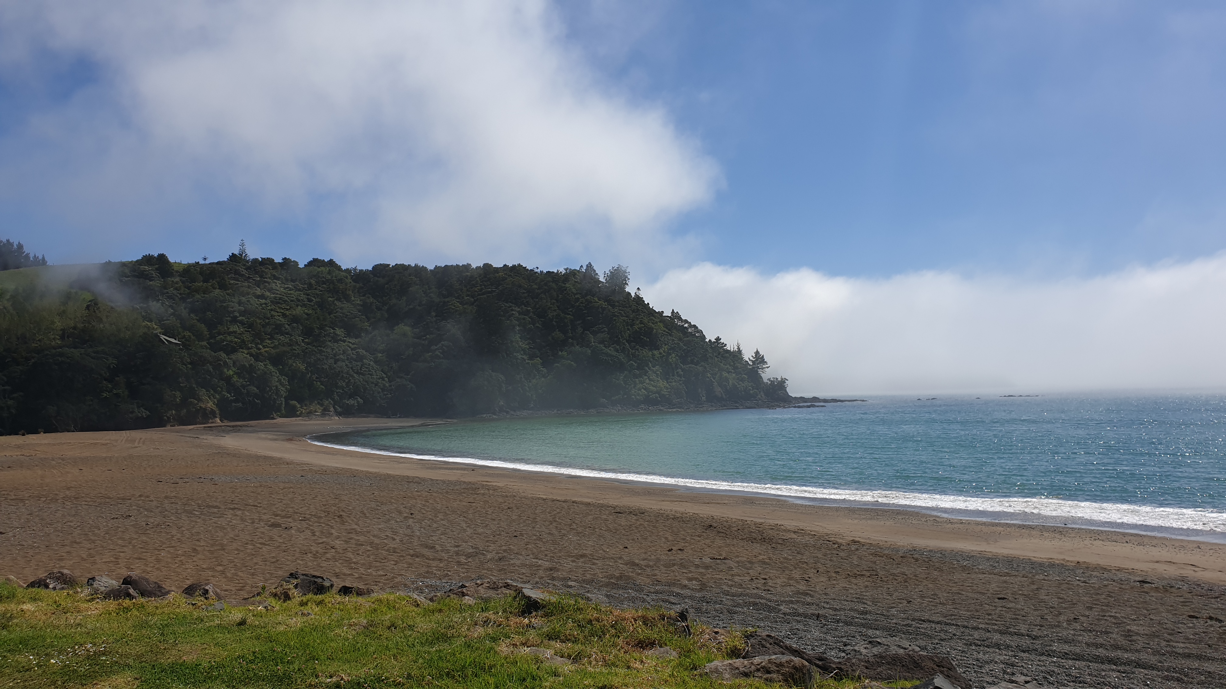
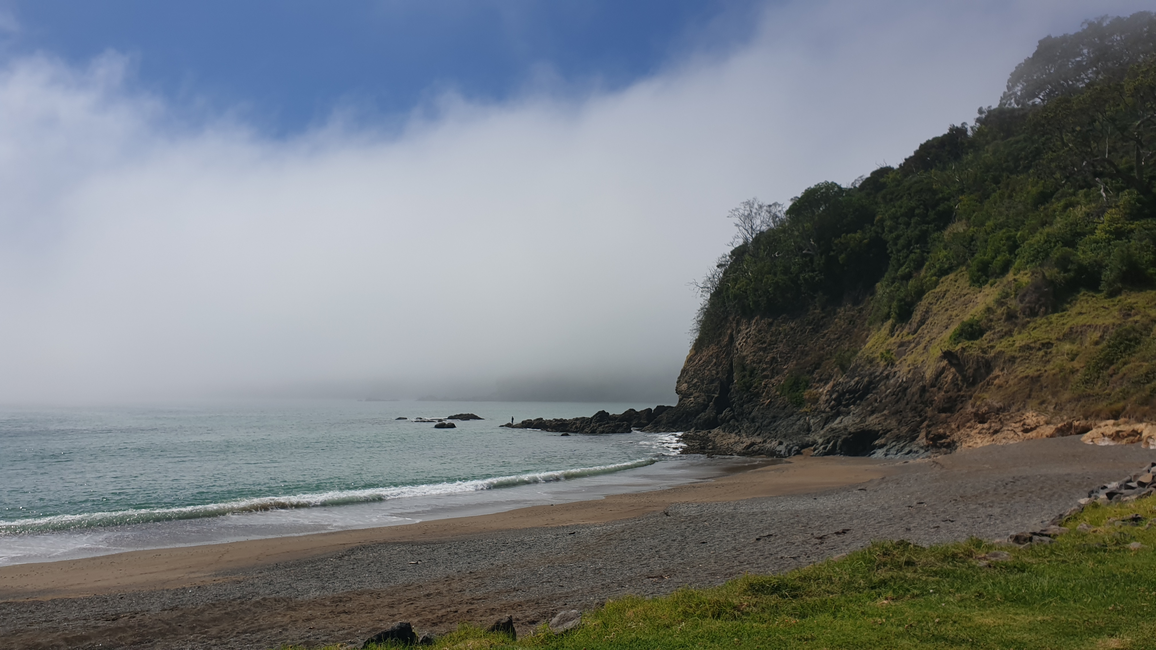
I actually managed to sleep a few hours, which is good progress! We had a dry night, with drizzle just before we were due to get up, and thus had wet tents anyway. This after not actually having condensation on the inside of my tent for the first time in many weeks!
Day 20
Km 16
Cumulative Km 262.3
Today was another tough track- mainly due to big changes in elevation all the time. We dropped from near 300m to 0 when crossing a small stream a few times, back to 220m and quickly back down to sea level at Whananaki. Both the uphills and down hills were very steep. I can definitely feel my knees hurting from the braking… and the Achilles wasn’t delighted with the stretching on the uphills.
On arrival at the holiday park we were welcomed with a free soft drink… how lovely! Just for being TA walkers. We then found out that there was going to be a woodfired pizza evening happening. We could choose from some 12 toppings and build our own medium sized pizza. It was delicious and such a great way to be spoilt! One pizza only 7 NZD!! It was delicious, fresh and so good from the woodfired oven!
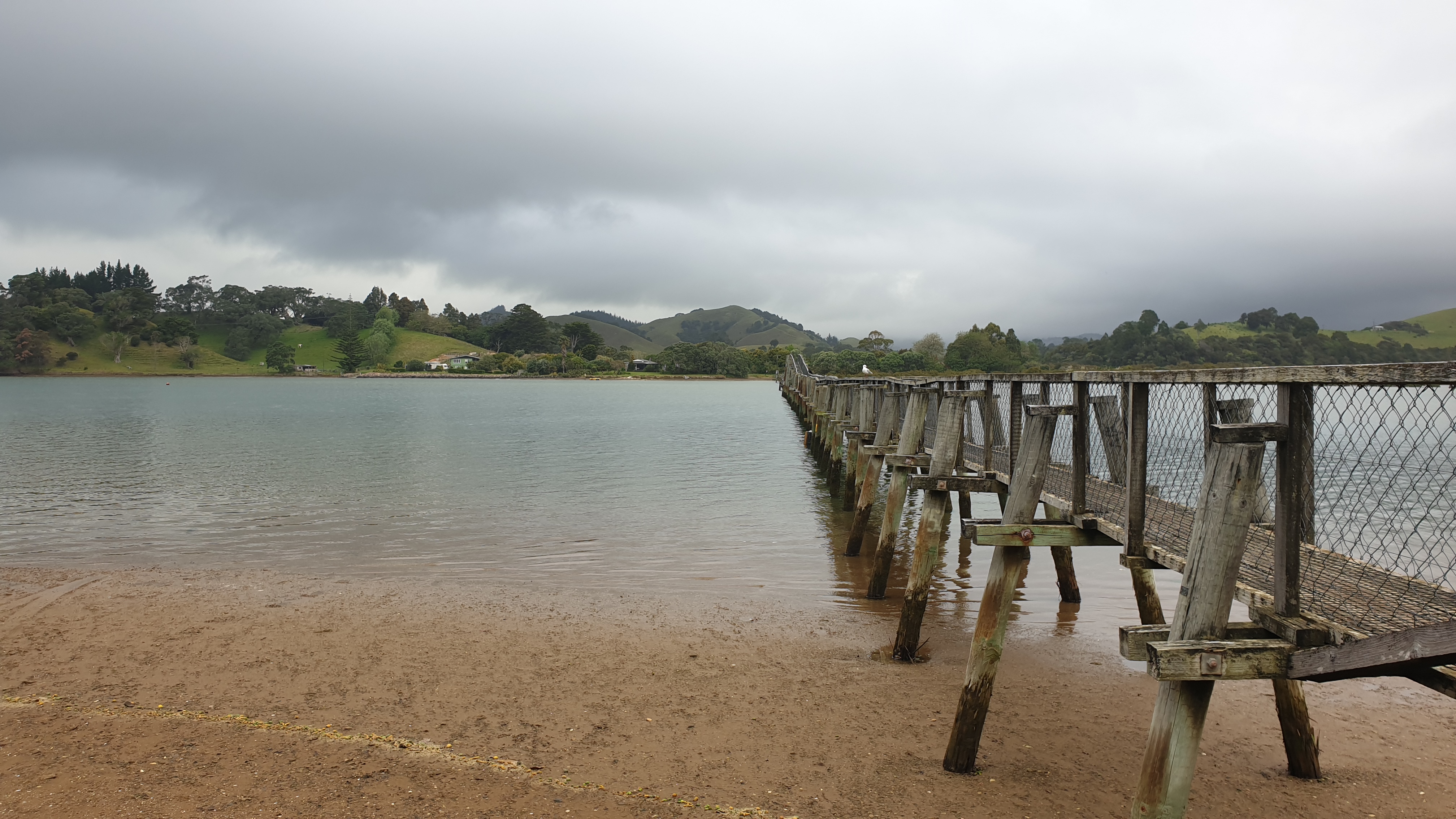
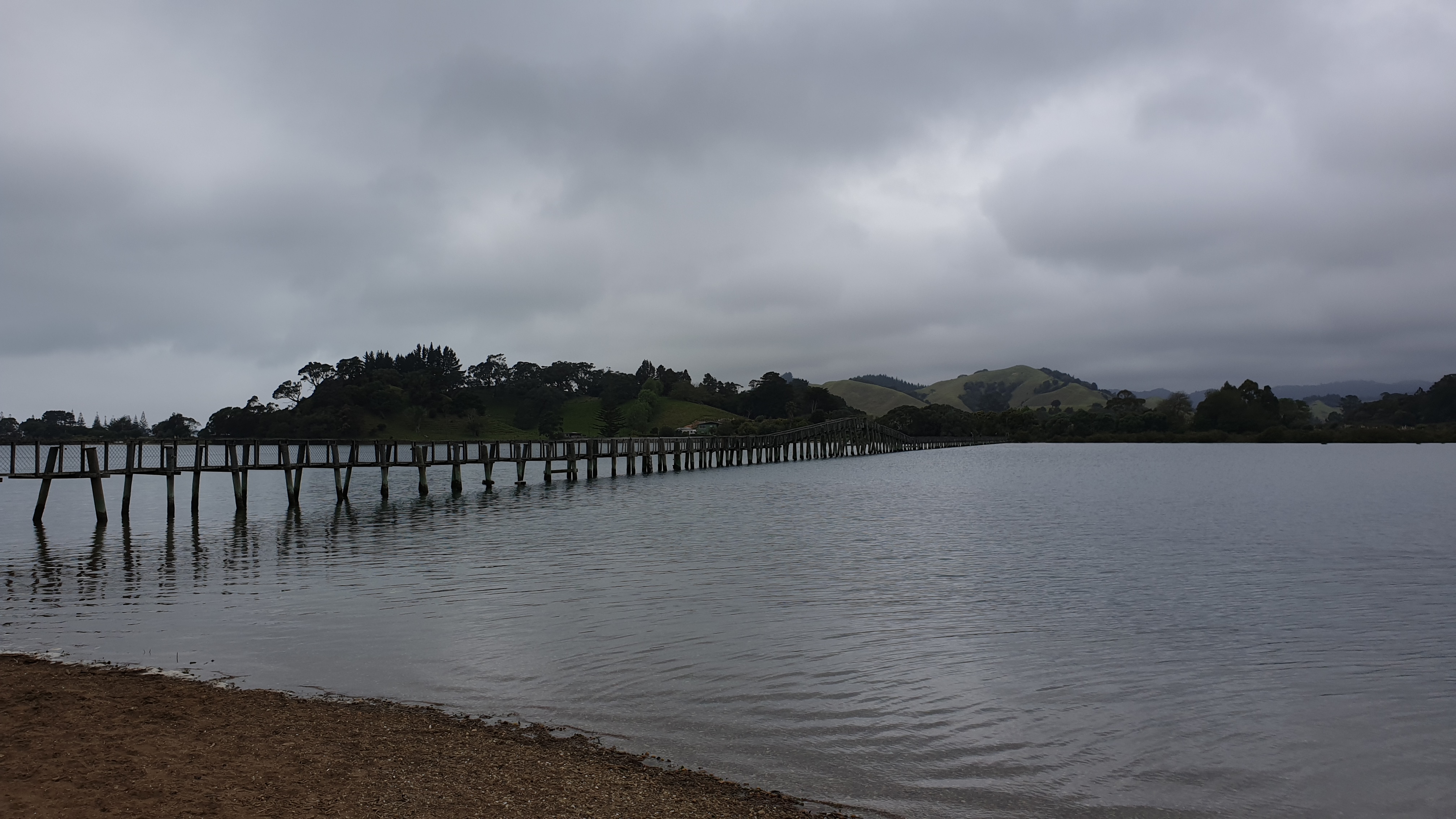
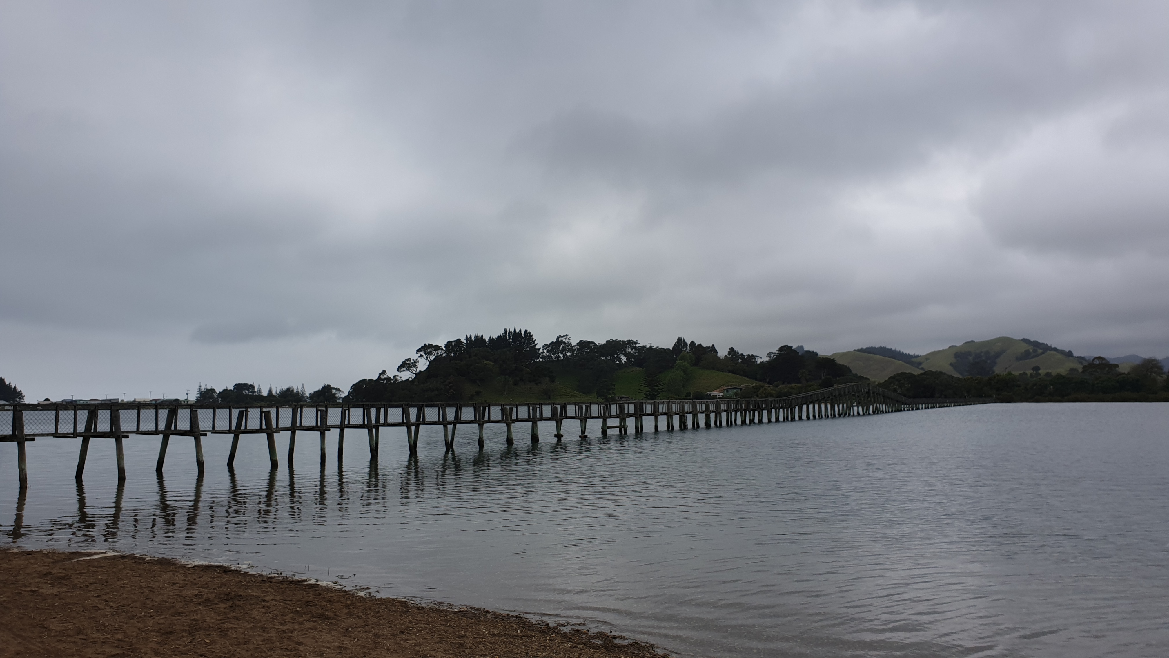
Whananaki is well known for having the longest footbridge in the southern hemispherehe- 500m. It’s in the photos below too. I decided to take some photos early as it may be raining tomorrow.
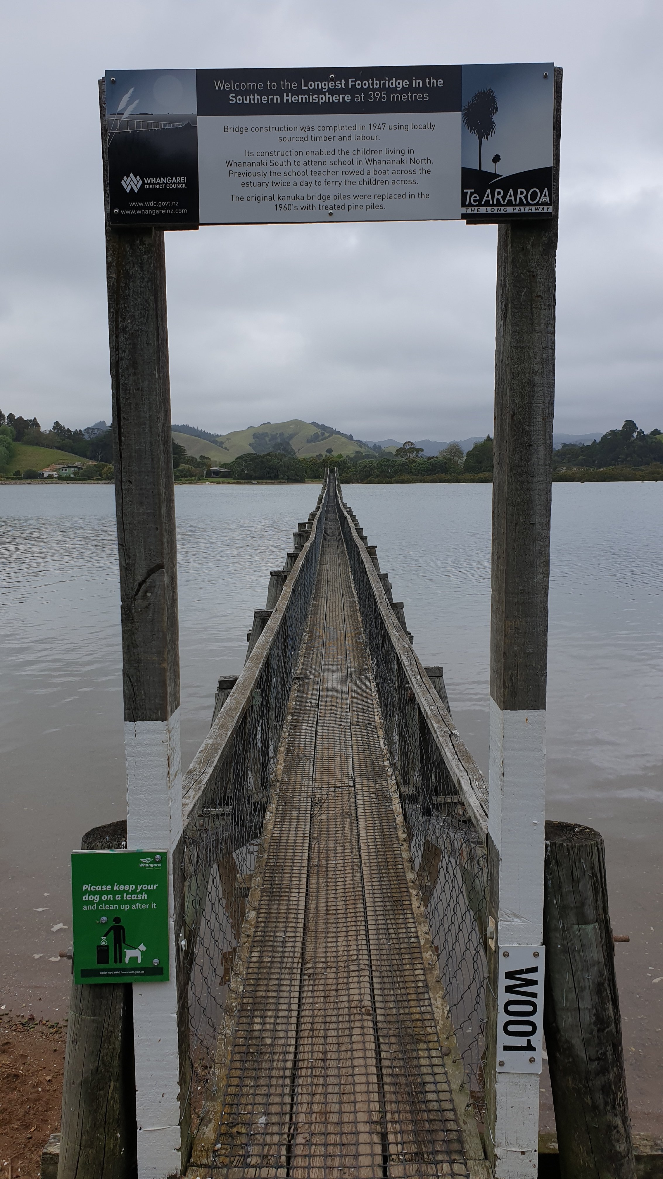
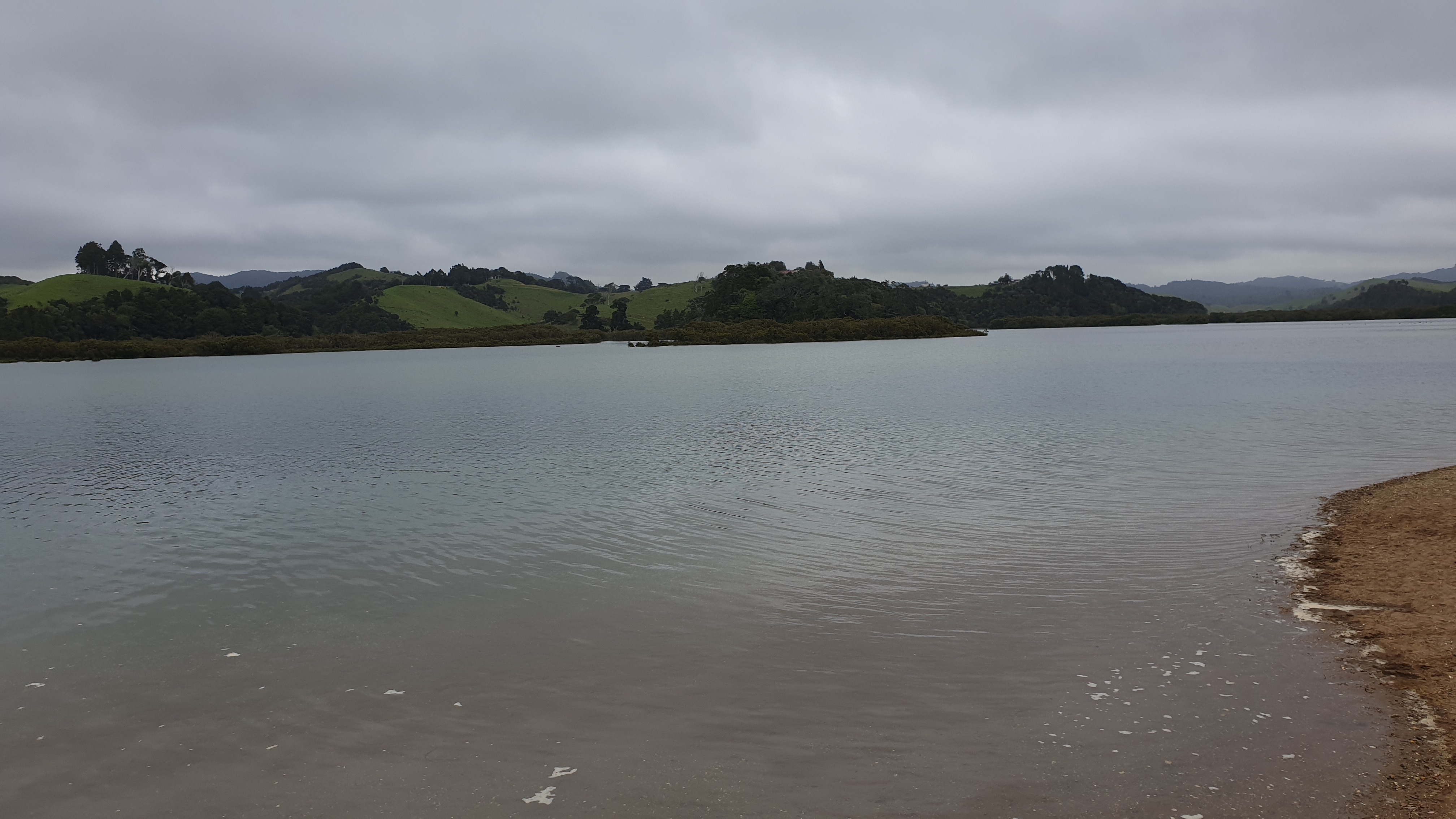
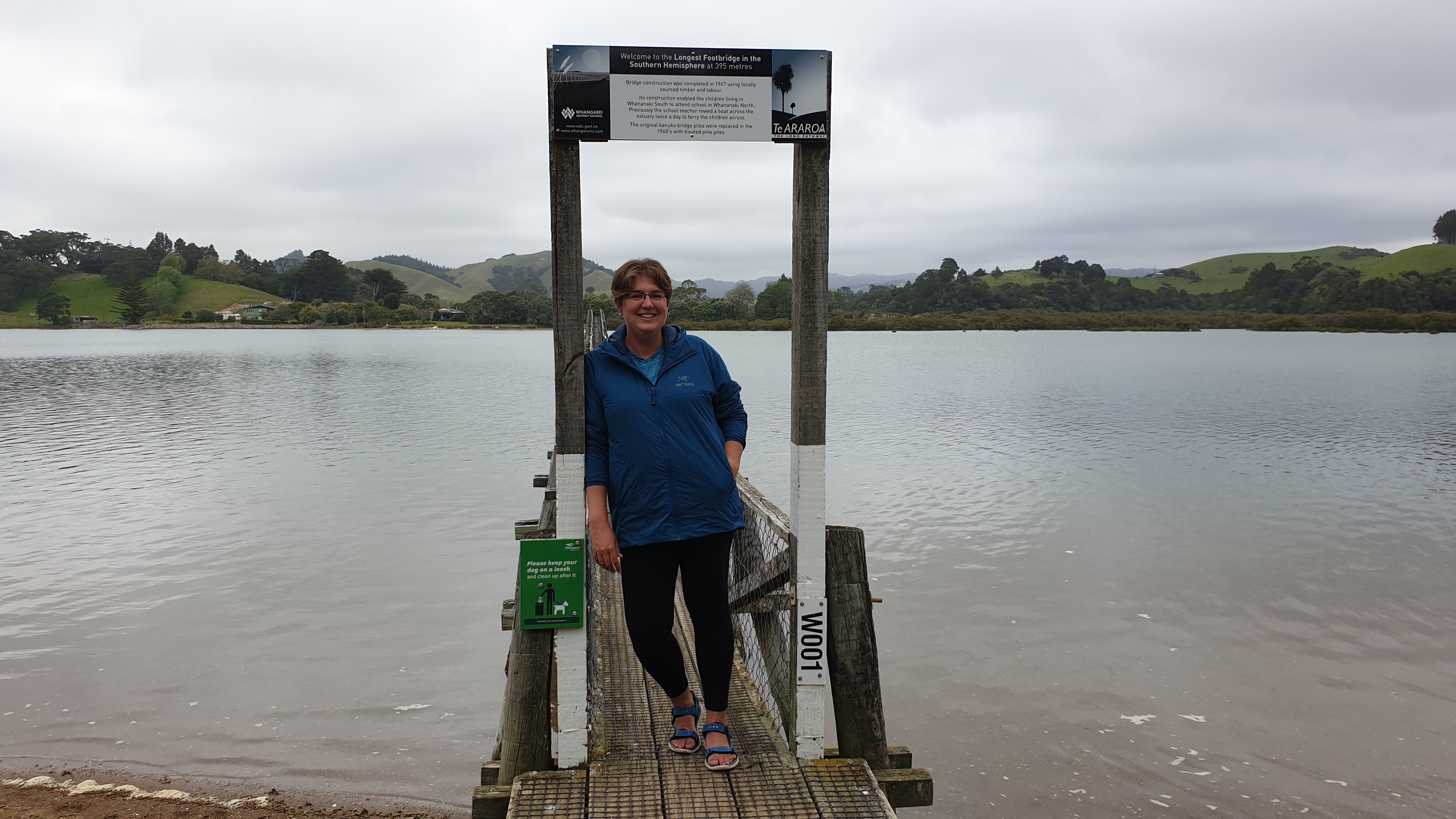
Russel to Punaruku
Day 17
Date 5 November
Km 0
Cumulative Km 228.6
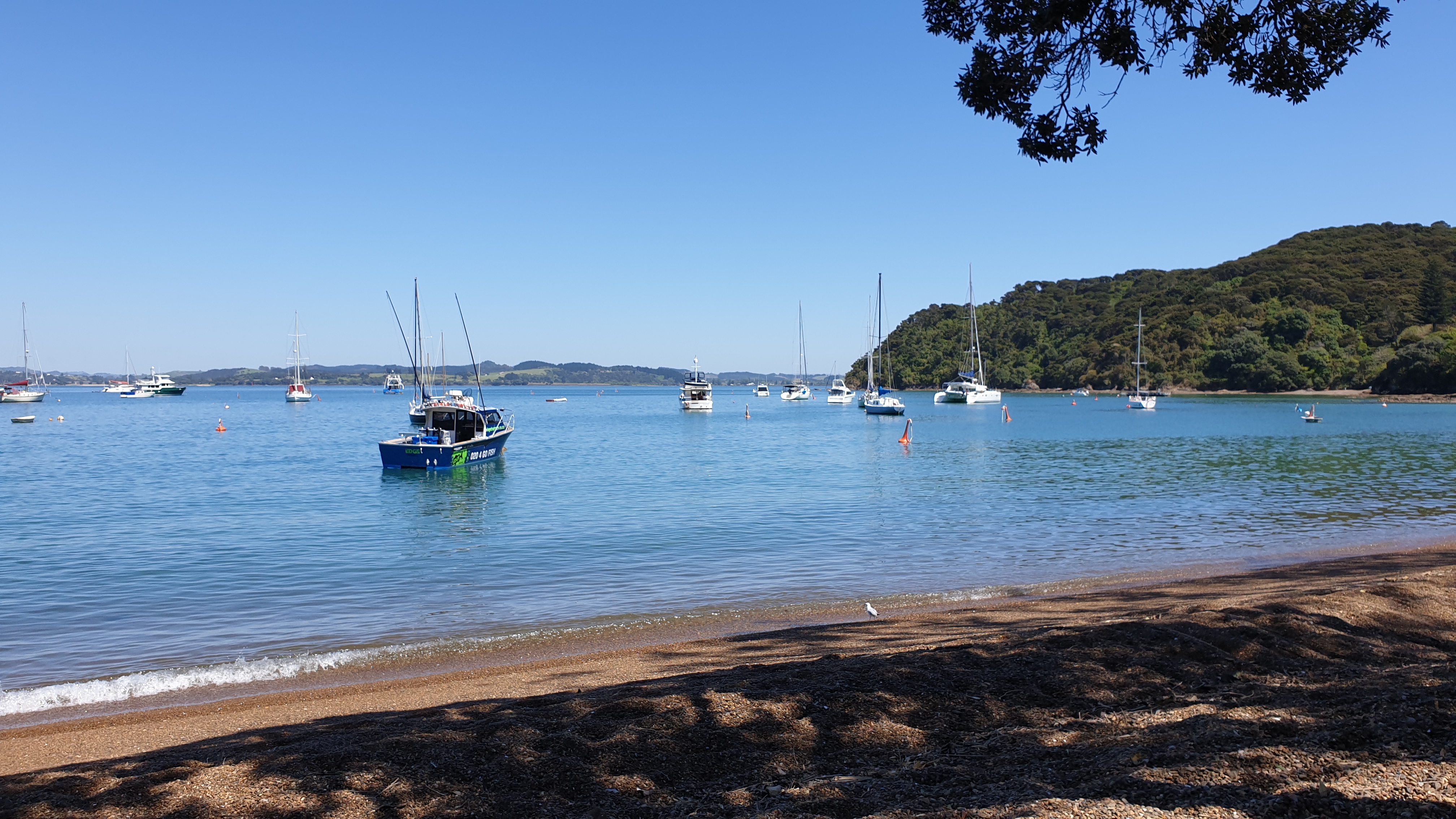
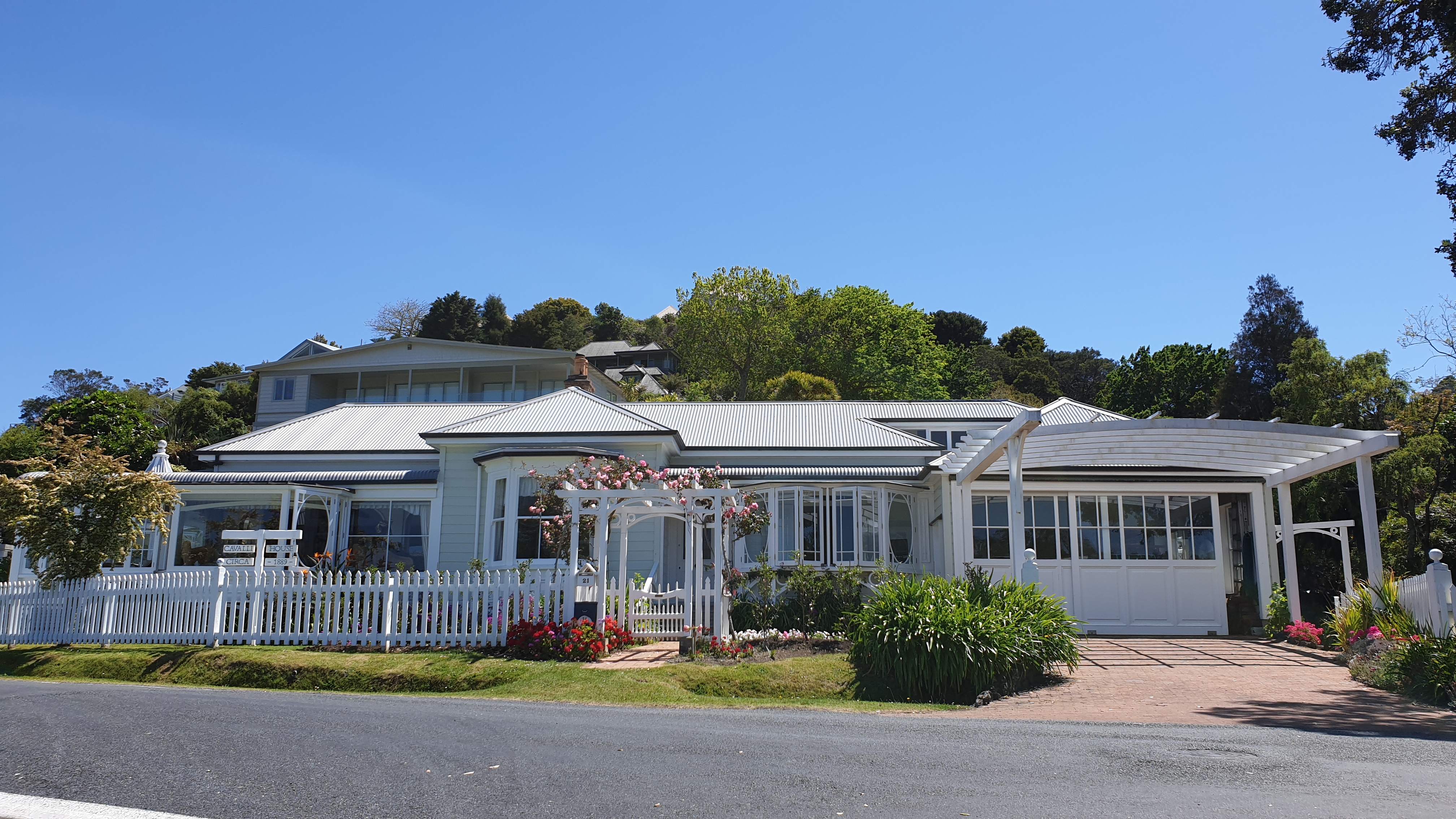
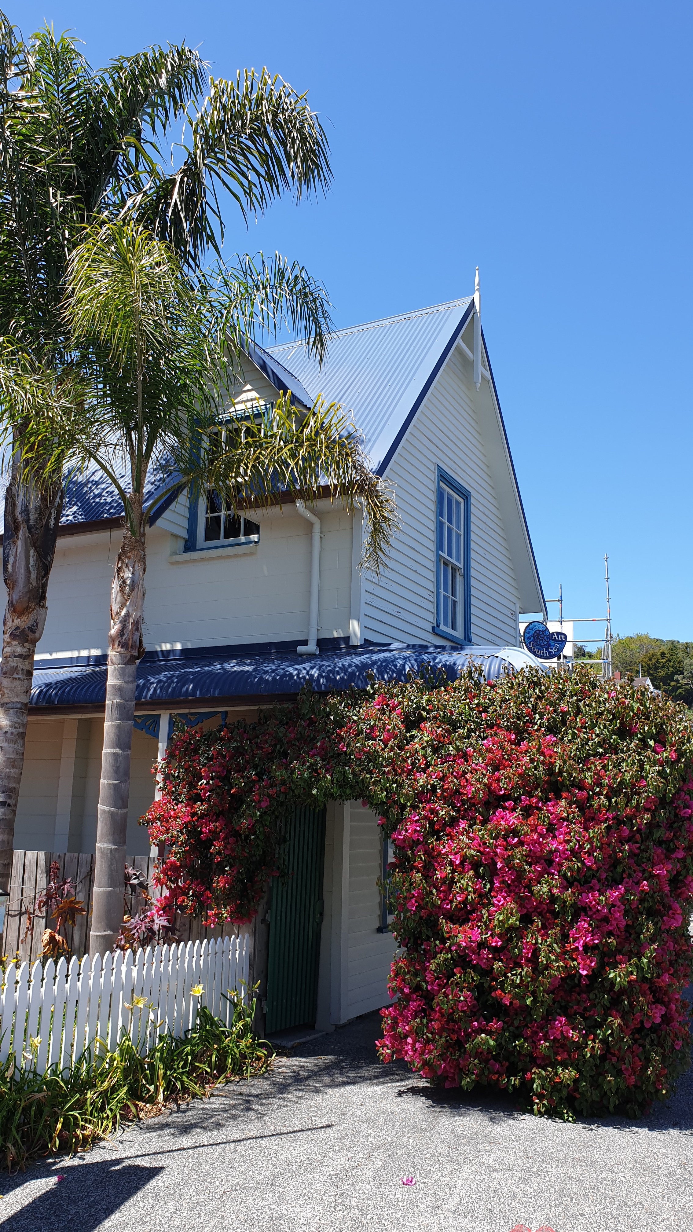
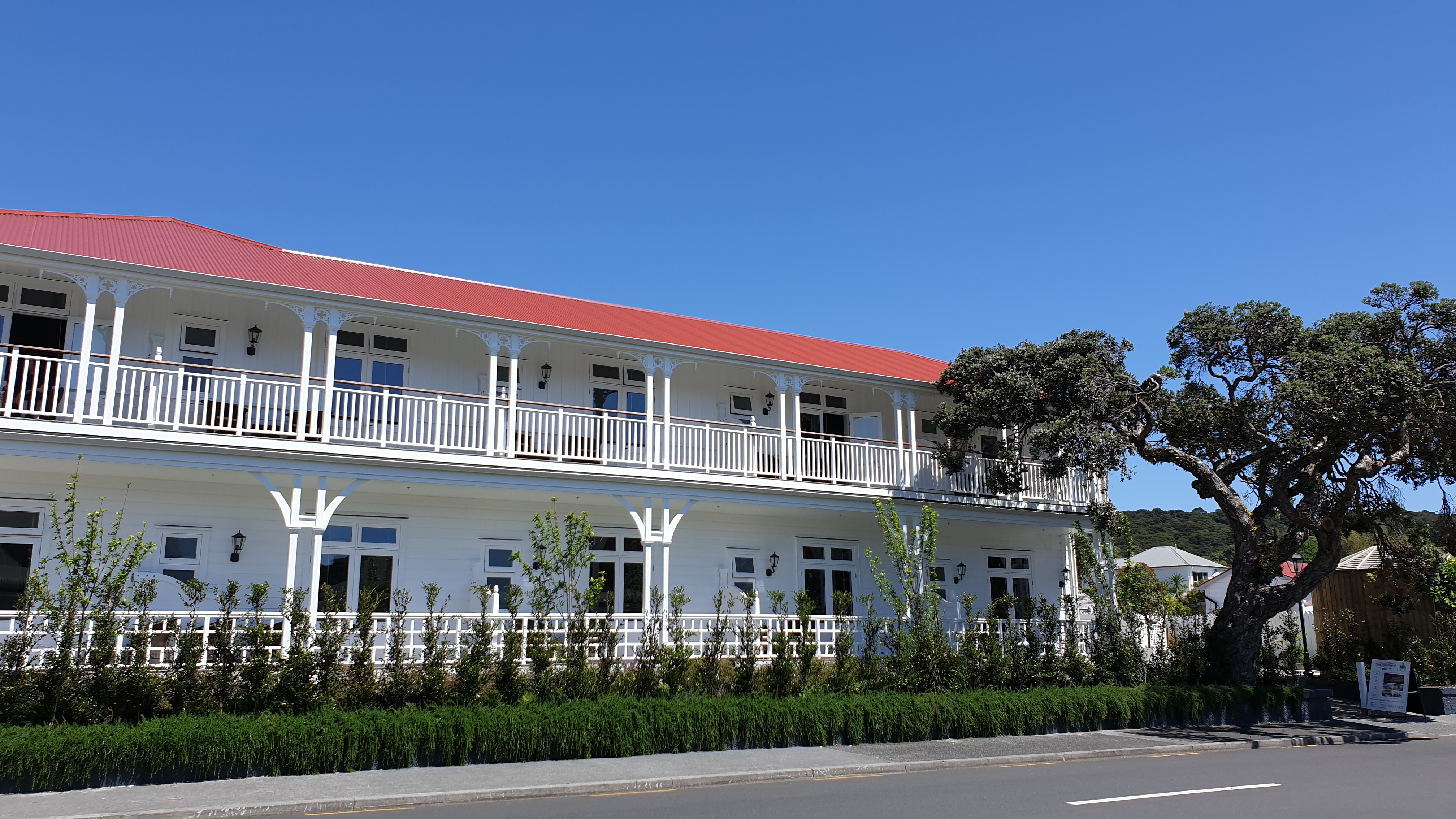
Marie, Moritz and I caught the 11am ferry into Russel, across the bay from Paihia. Still lovely and sunny weather the whole day and we spent time walking around the village and enjoying the beautiful old homes. Fish and chips for lunch- when Marie learned not to order a large portion of chips as that in essence means family size! In fact I ordered a small portion and had lunch and dinner from it!
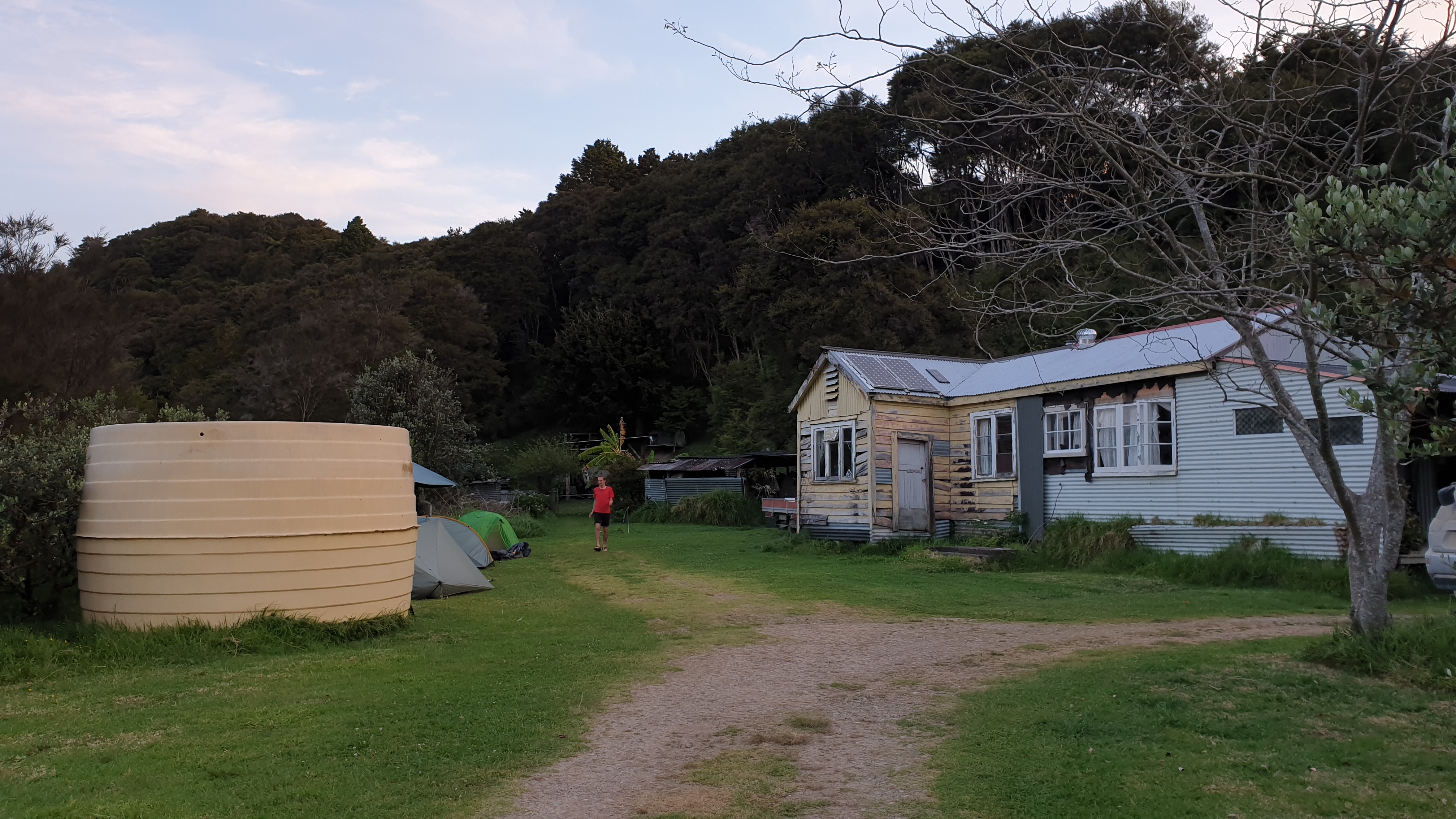
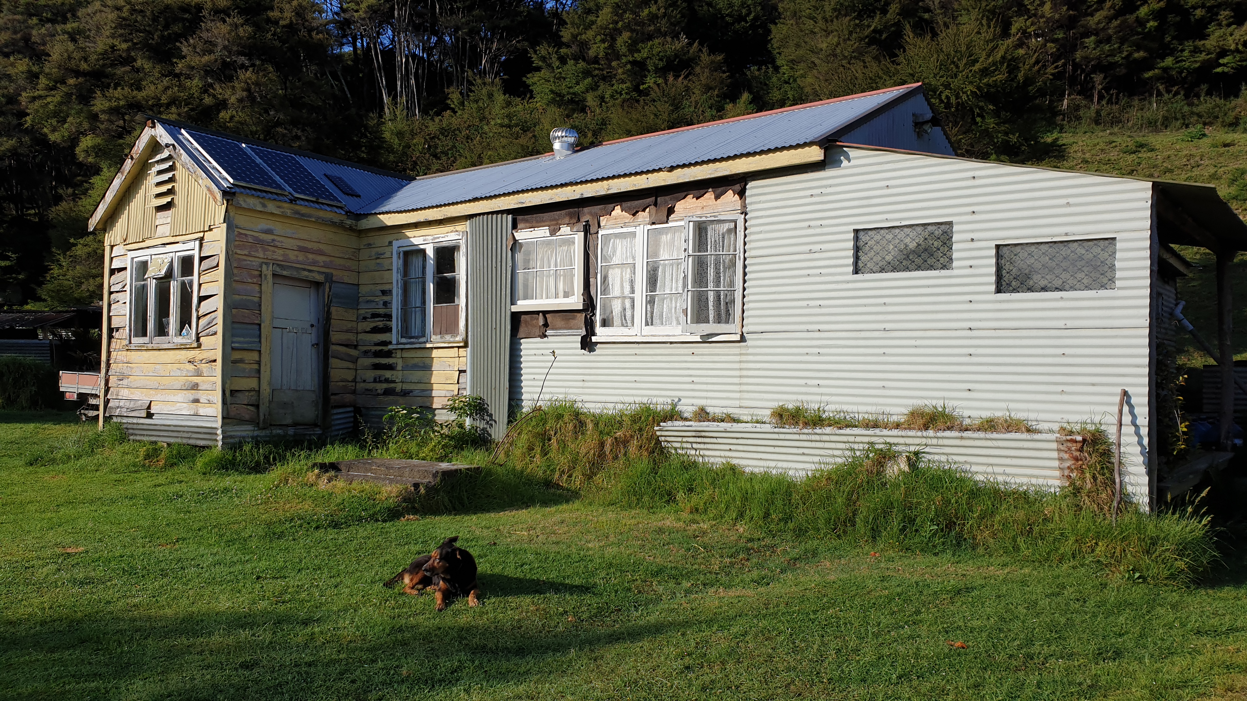
After Sheryl was finished work, she took us back to her place where we set up camp. We also had tea and she bought out some apple pie to share. The farm is a lovely piece of land and has wild horses on it.
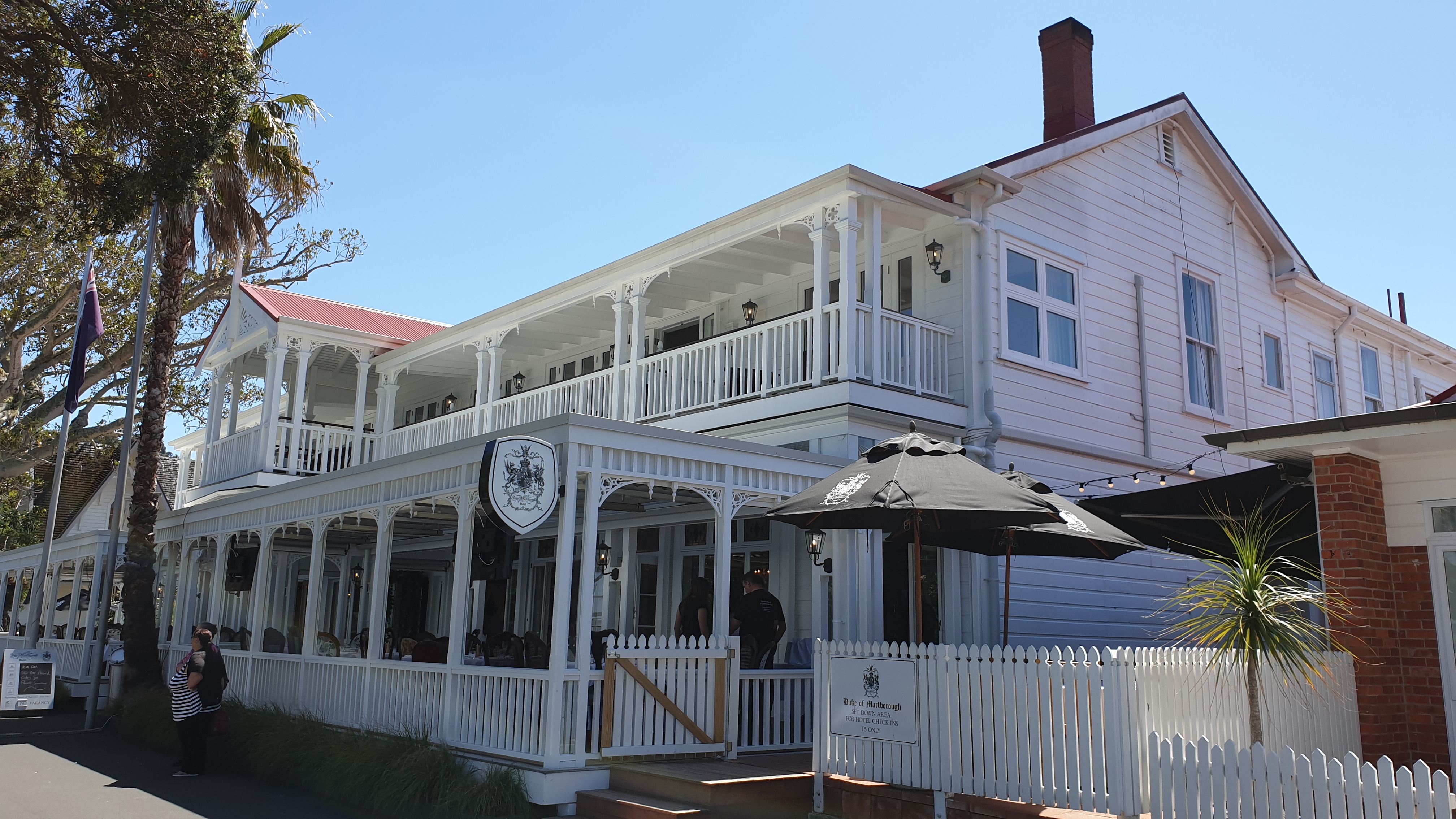
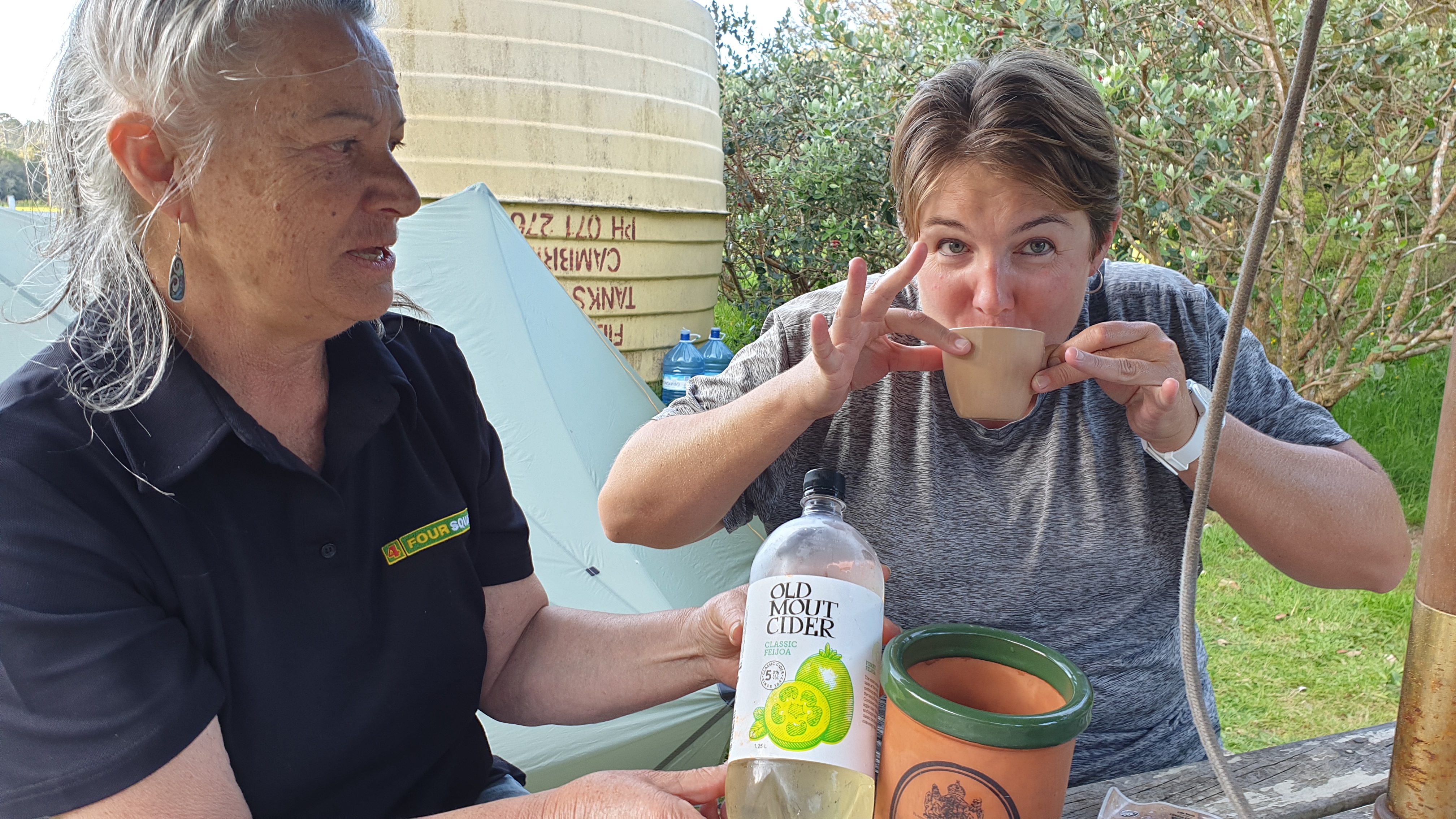
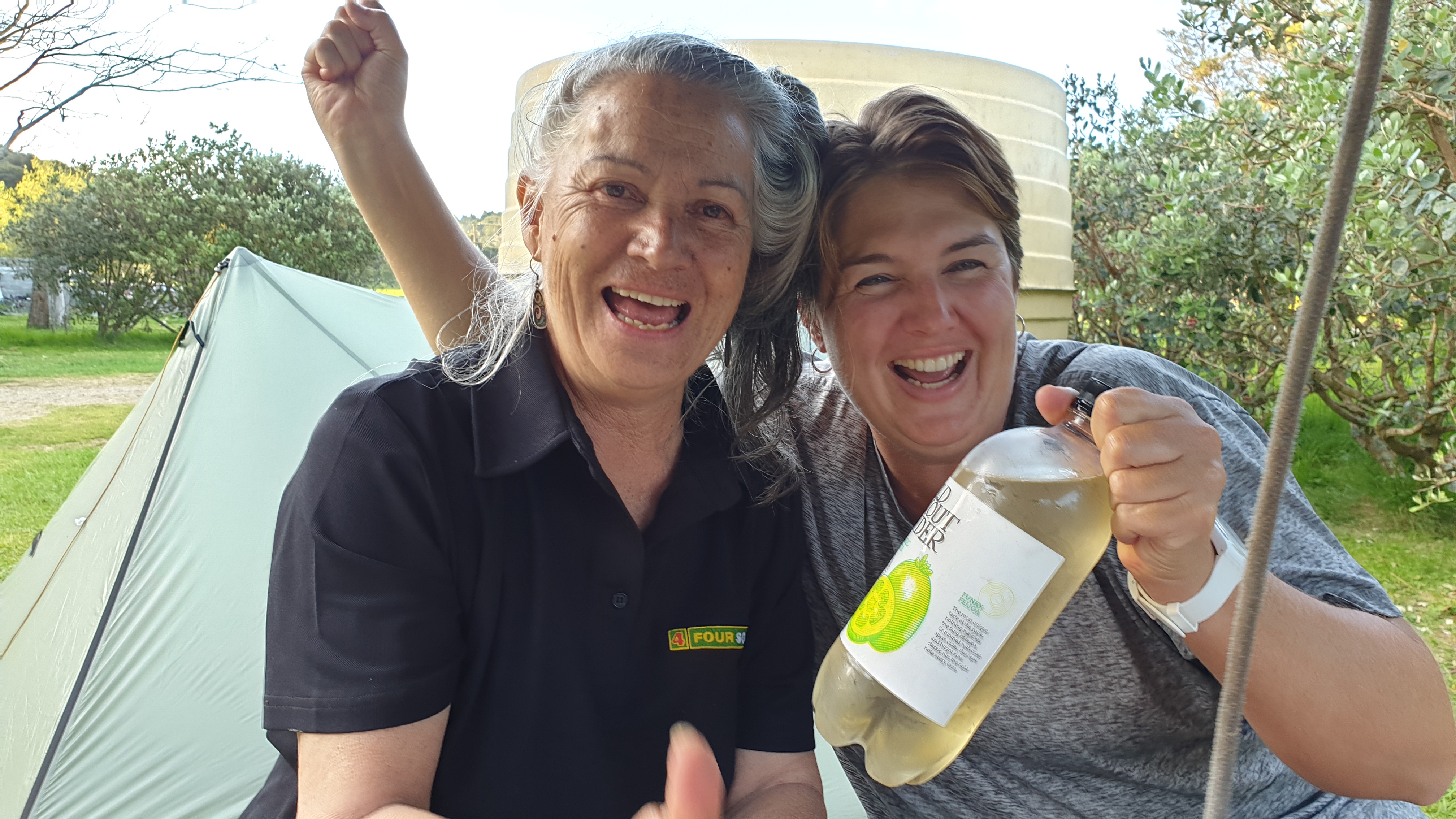
James, an English guy I met earlier in the hike, had said that if South Africa win the Rugby World Cup, he would buy me a beer. I said I prefer cider. He, a man of his word, left some money at Sheryls place for her to buy some cider before I arrived. Sheryl wasn’t going to skimp and she bought a whole 1.25l! So there was enough for everyone to celebrate the victory! Whoever thought that a Kiwi will be drinking to the Springboks!?
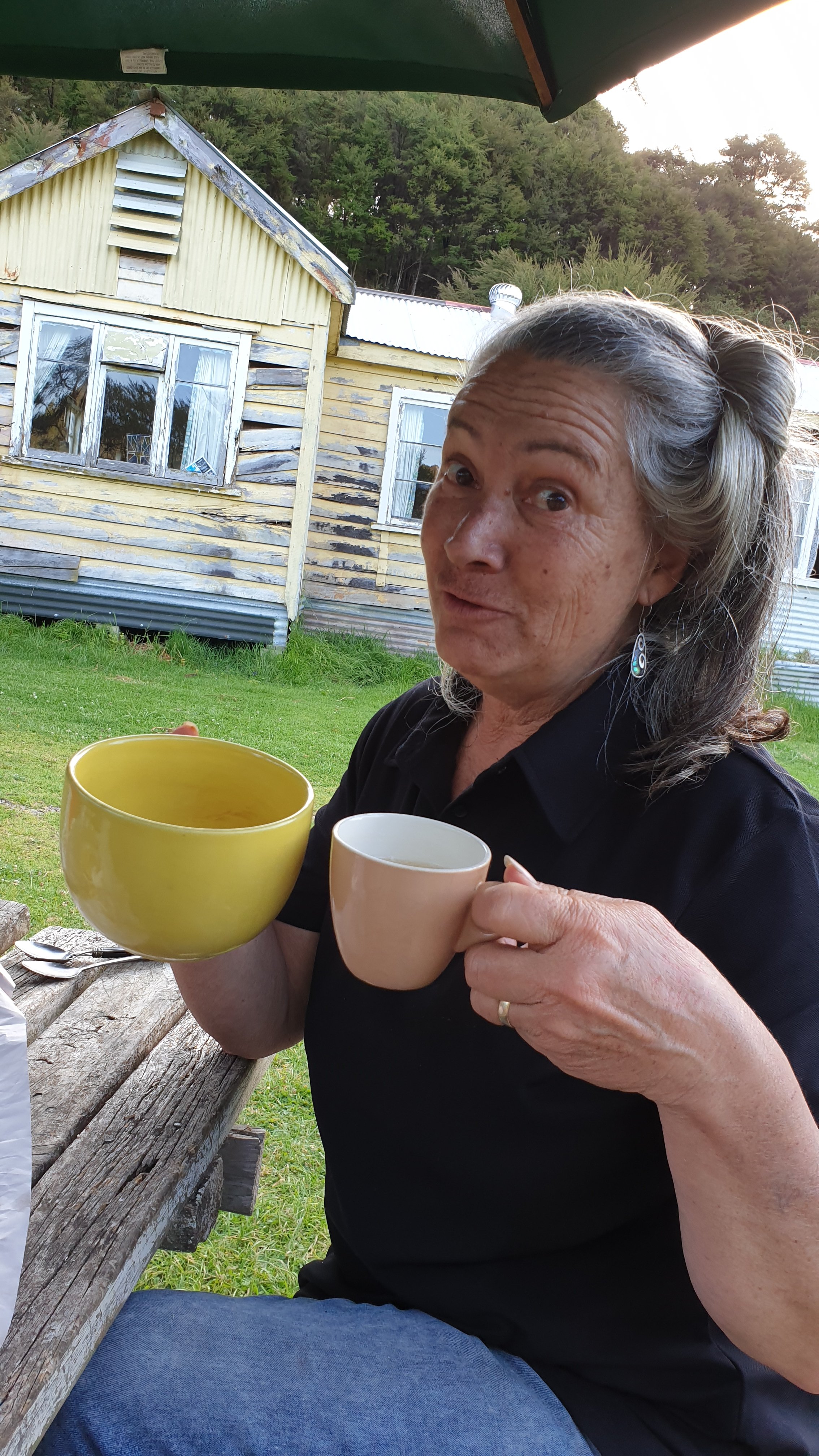
We were drinking the cider from our tea cups- how English. Sheryl says, “I will only have half” . We all laughed as it should be noted that she had a massive 0.5l mug! 🙂
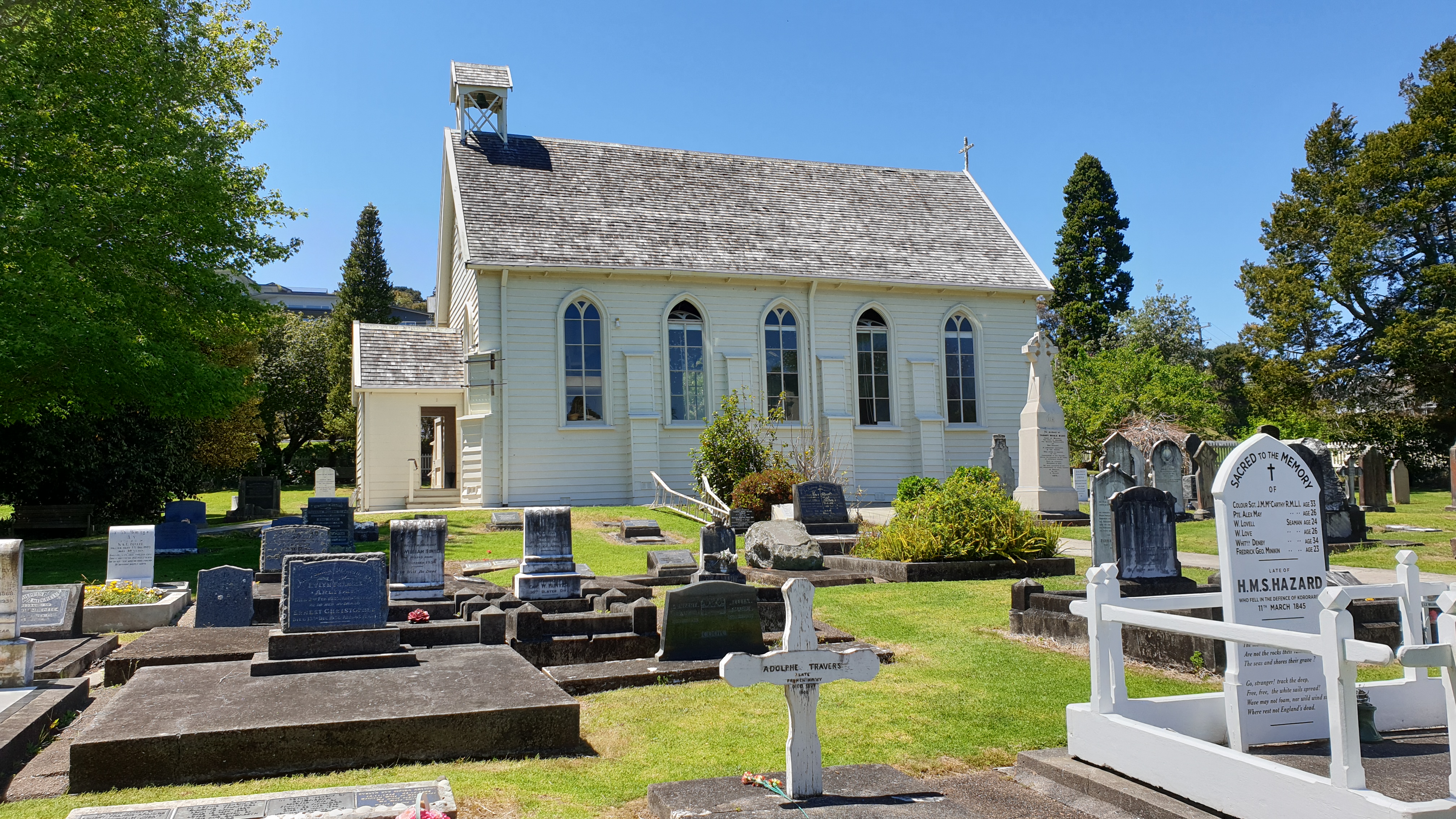
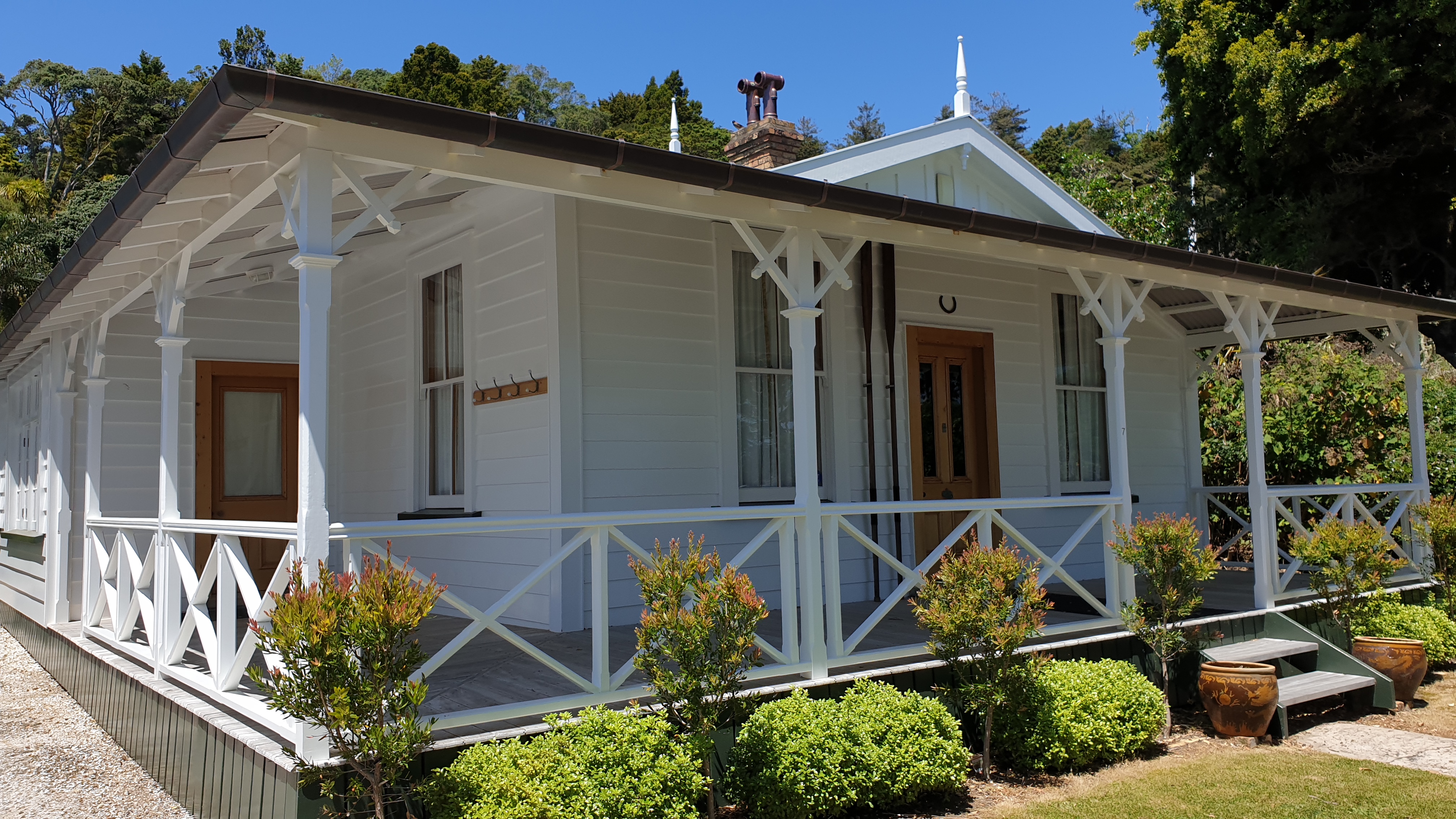
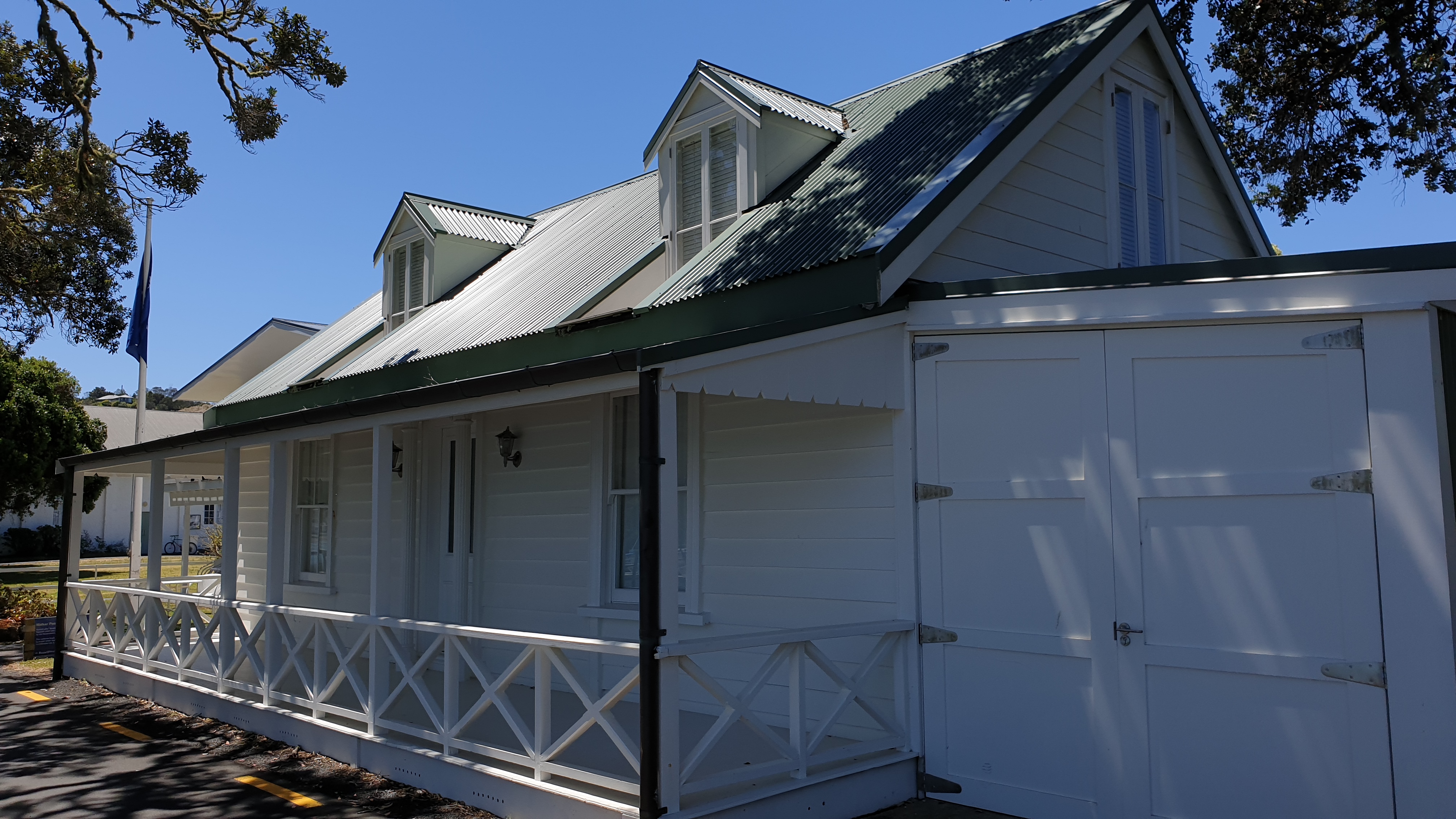
Day 18
Date 6 November
Km 0
Cumulative Km 228.6
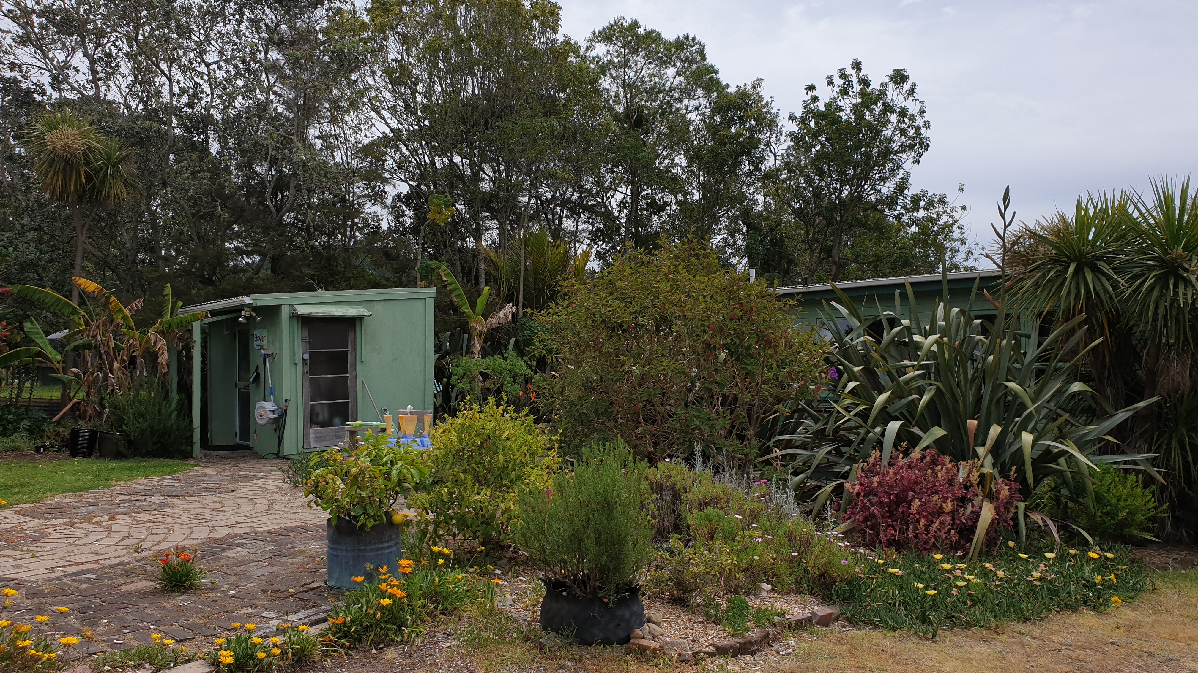
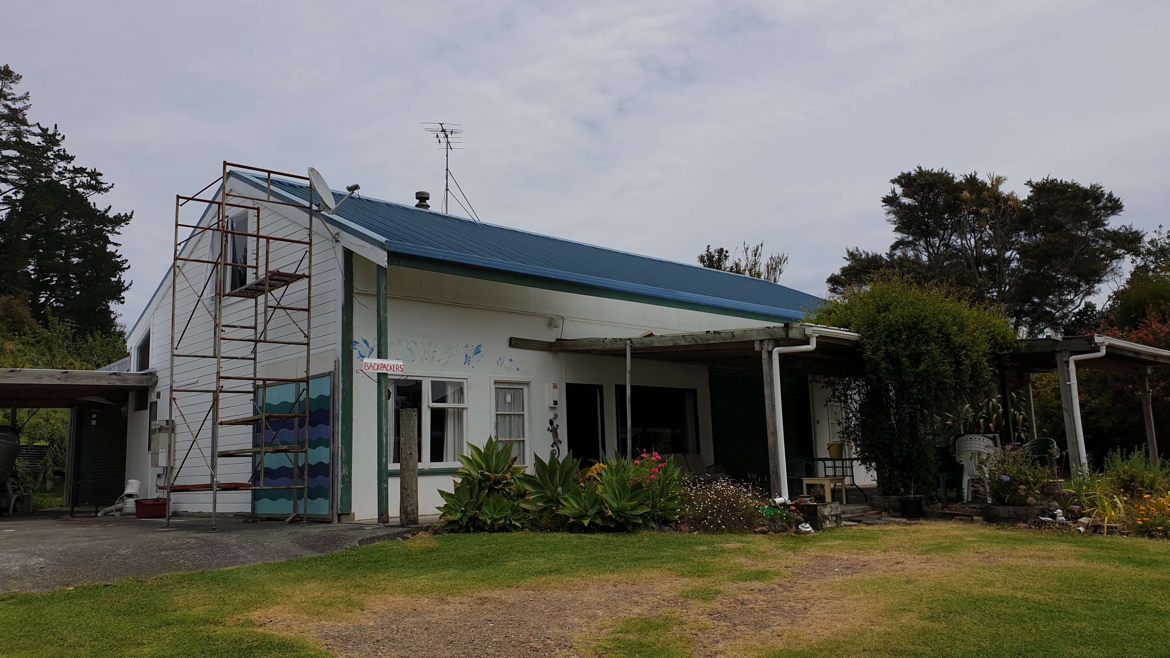
Today Marie and Moritz headed out through the Russel forest while I got a ride from Sheryl’s place to Sue’s place. Sue has a place to stay after the forest. It’s a great backpackers and there are tent spaces. A great kitchen to use and hot shower!! All of these are luxuries to us!
I promise to welcome Moritz with a hot cup of tea- apparently a dream of his for the trail- and also dry out everyone’s tents. This way Marie’s dream will come true too as she has an obsession with having a dry tent. For good reason of course!
The guys also left behind their food, for me to take by car, so their packs were much lighter for the day!
Kerikeri to Paihia
Day 15
Date 3 November 2019
Km 22.6
Cumulative km 222.2
The day started with a walk from the Holiday Park to the Stone Store in Kerikeri. This is actually the official end of this trail section but as we caught a ride to the accommodation, we hadn’t actually been here. So it was some 2km to get there. It was as quaint as I remember , though better as there were no people!
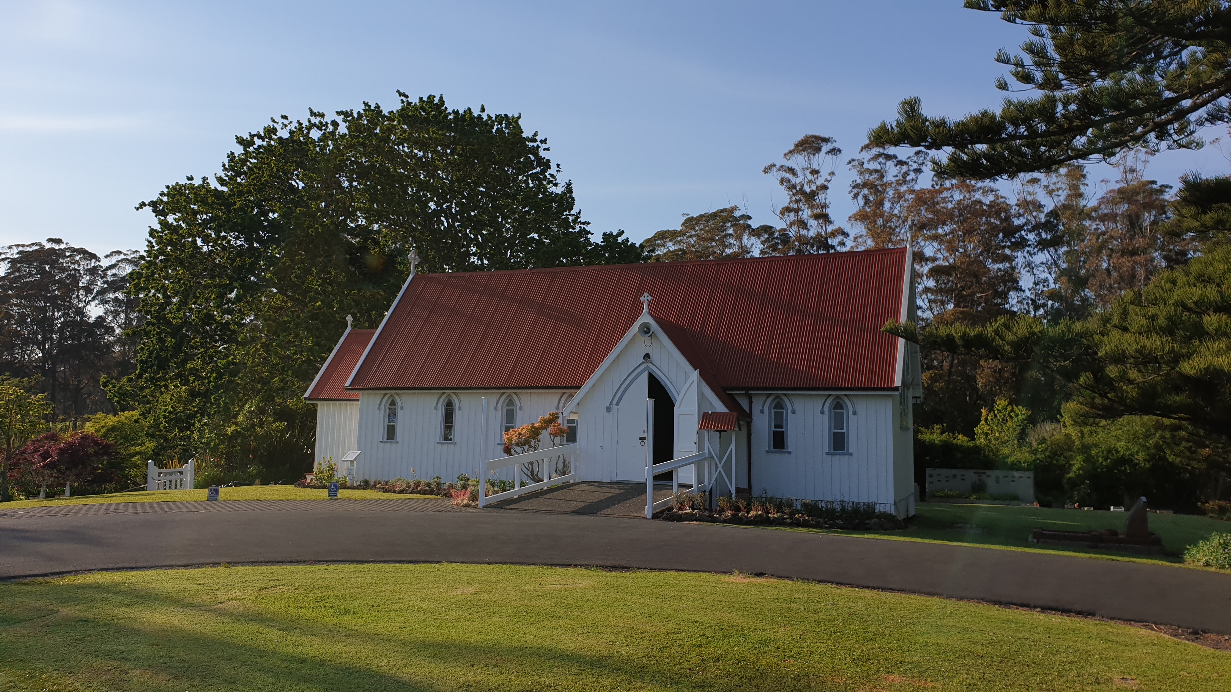
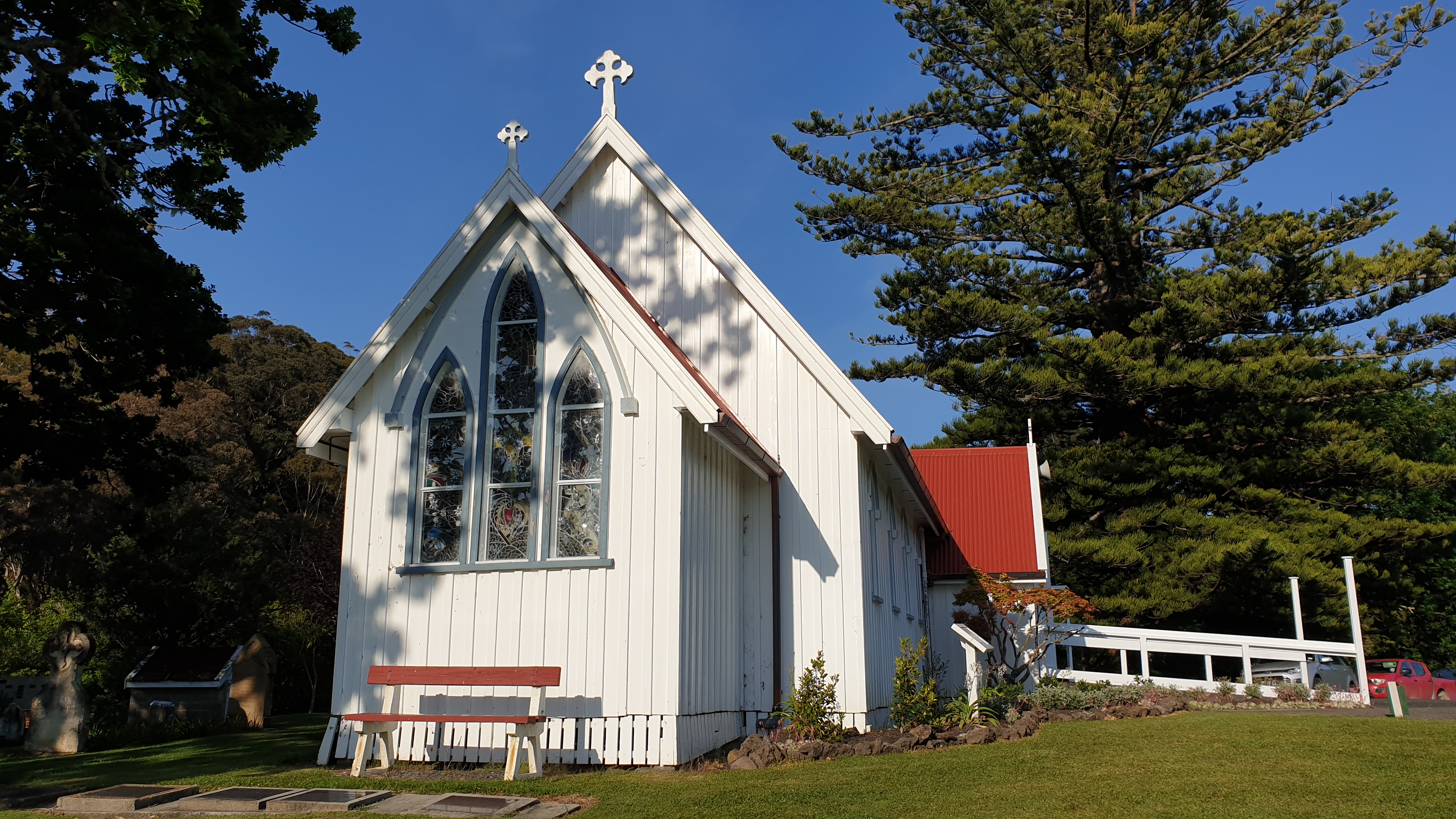
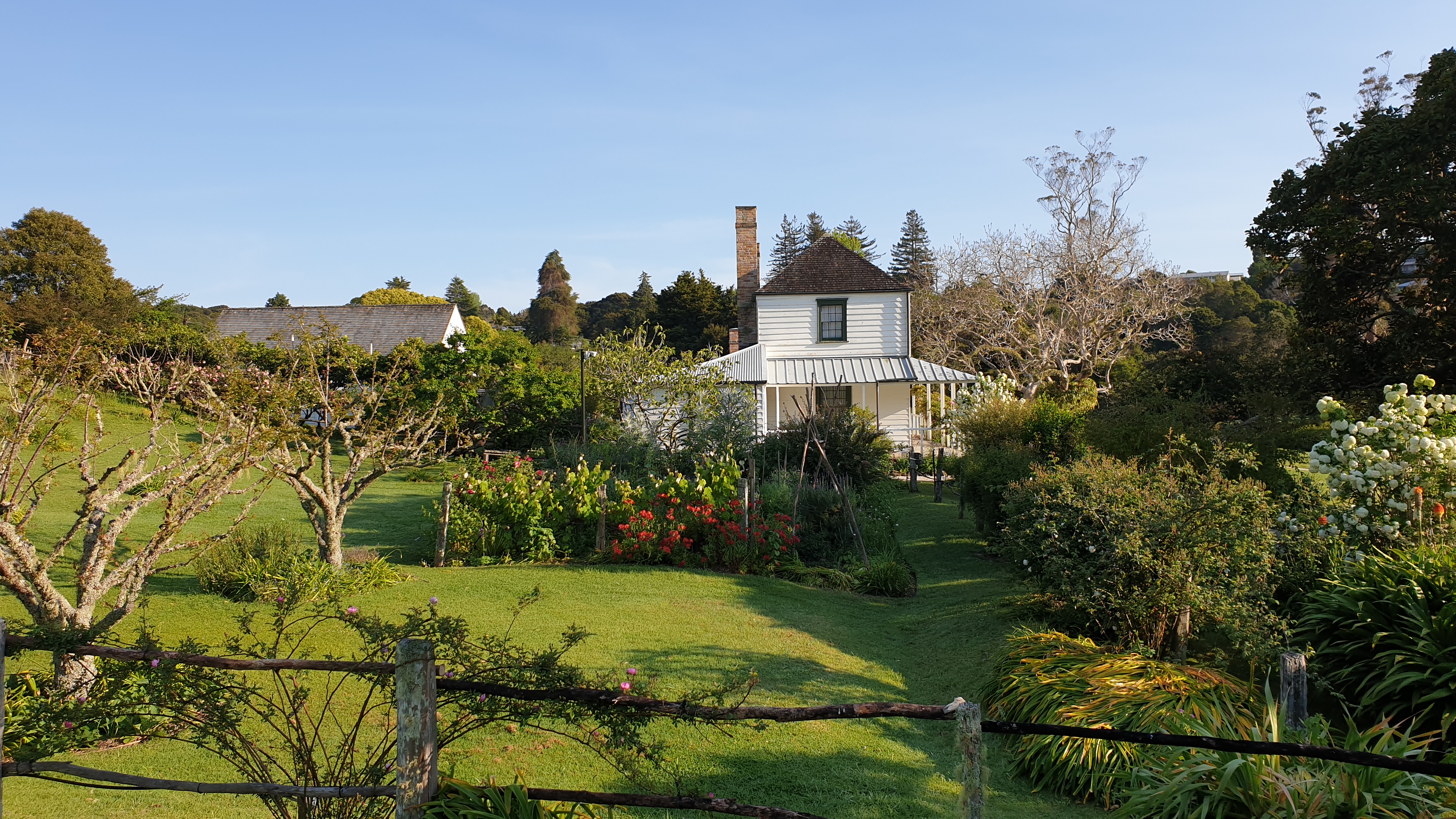
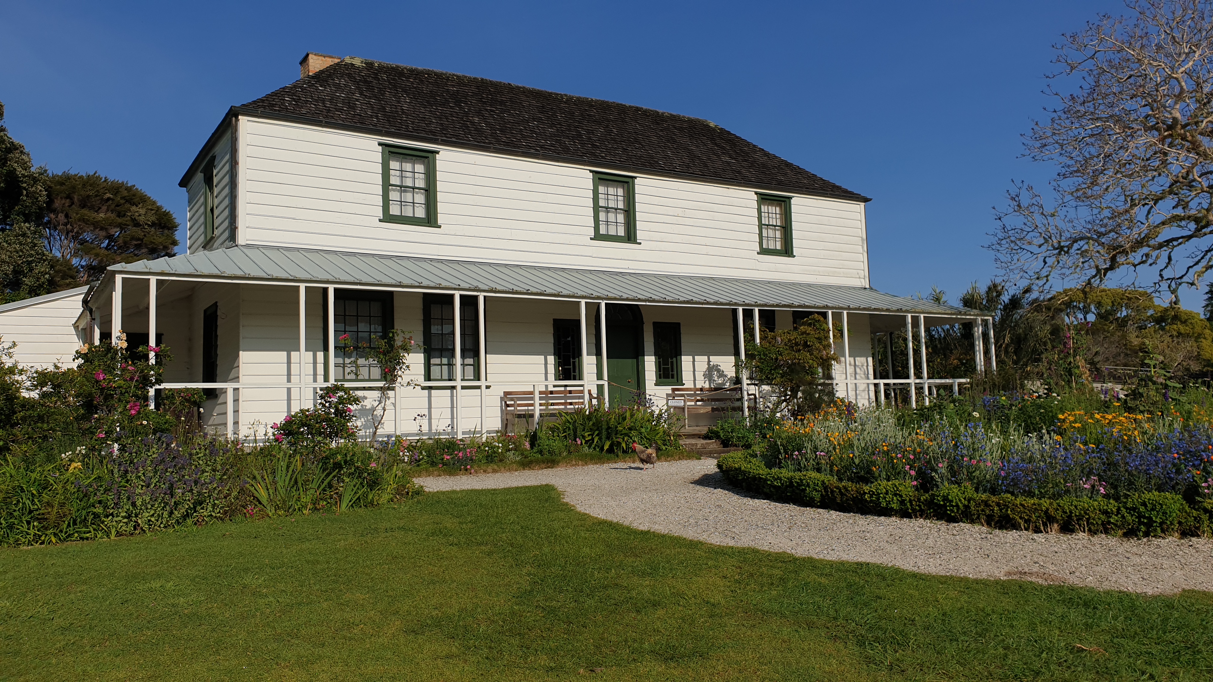
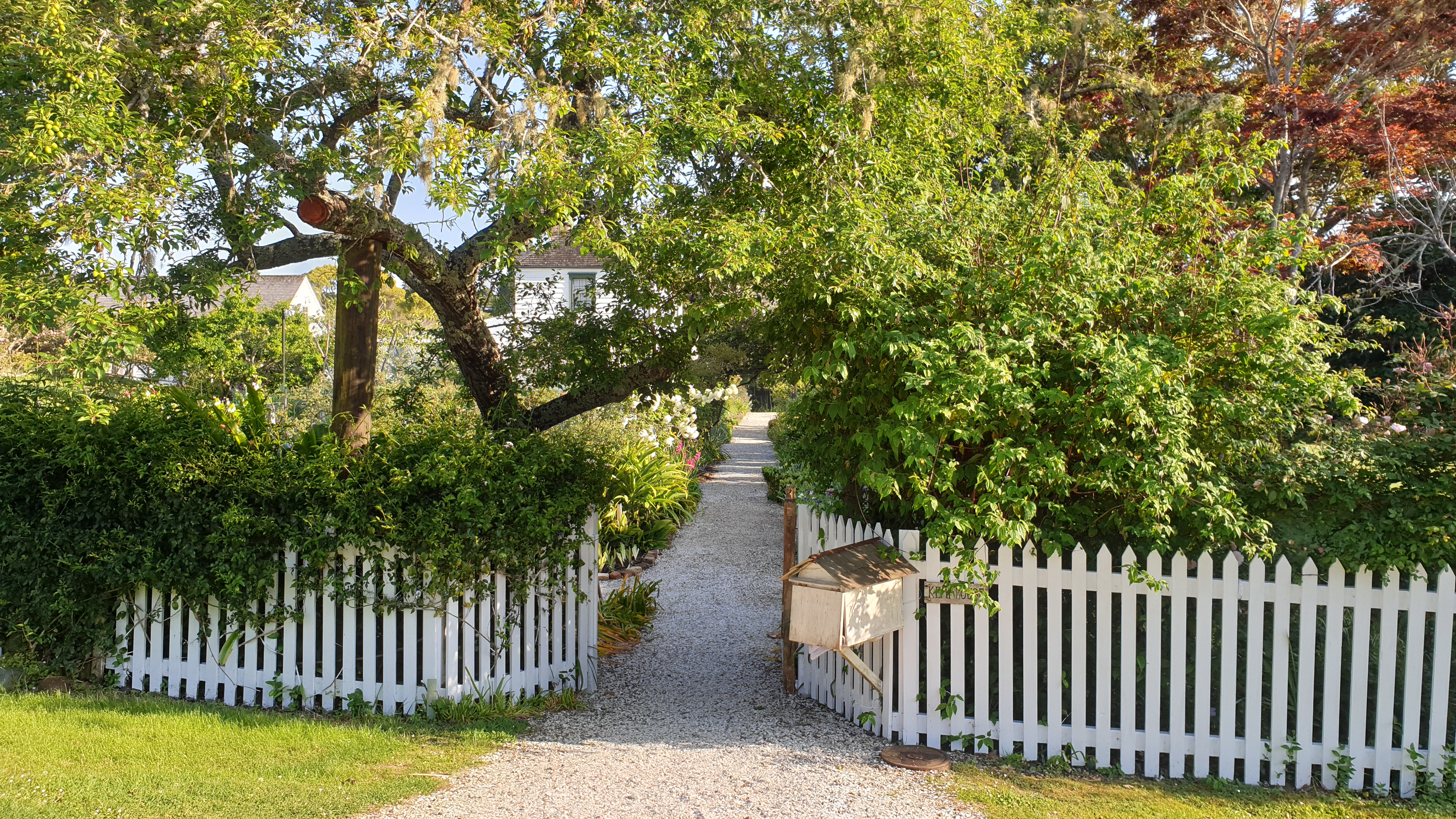
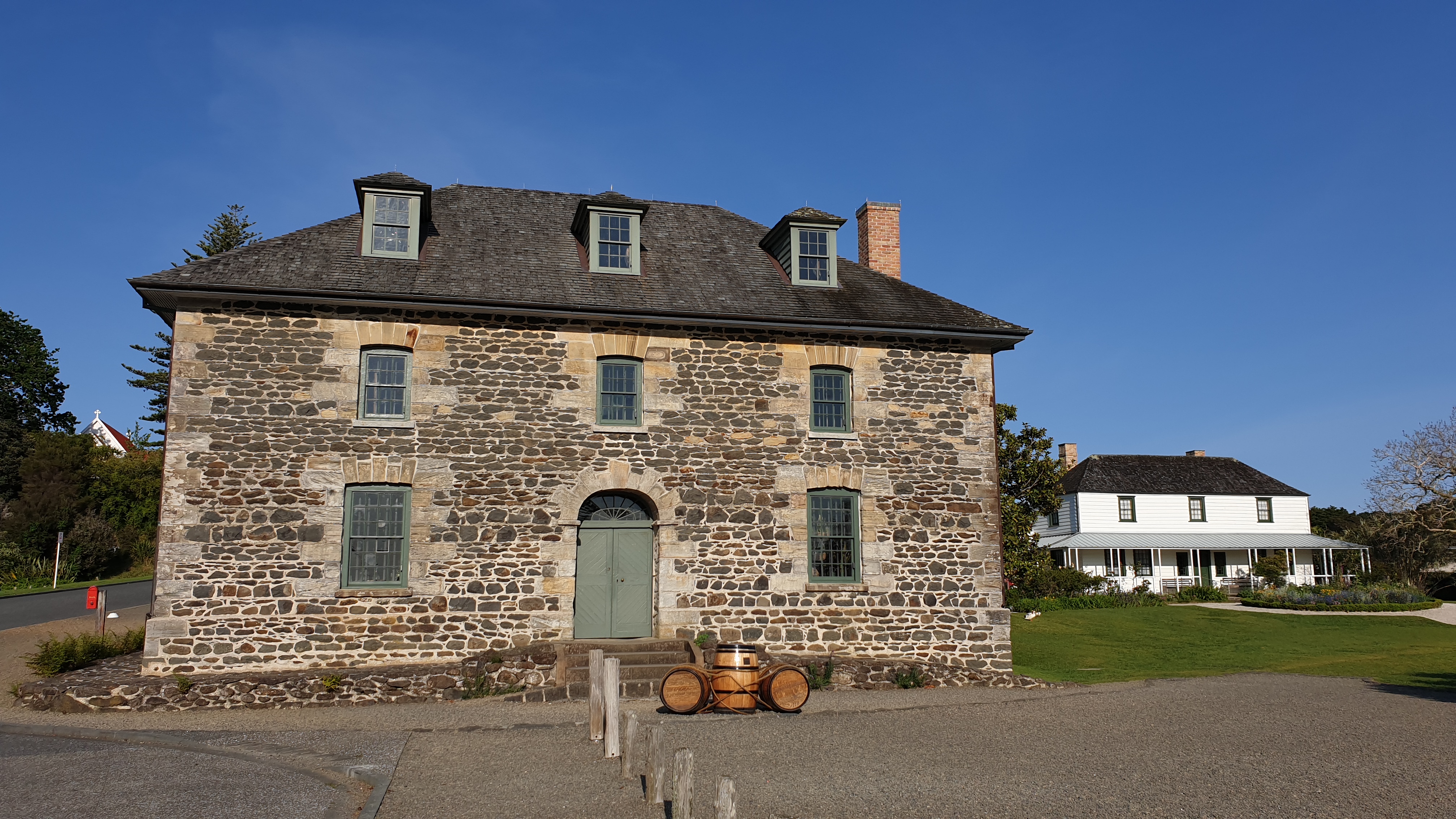
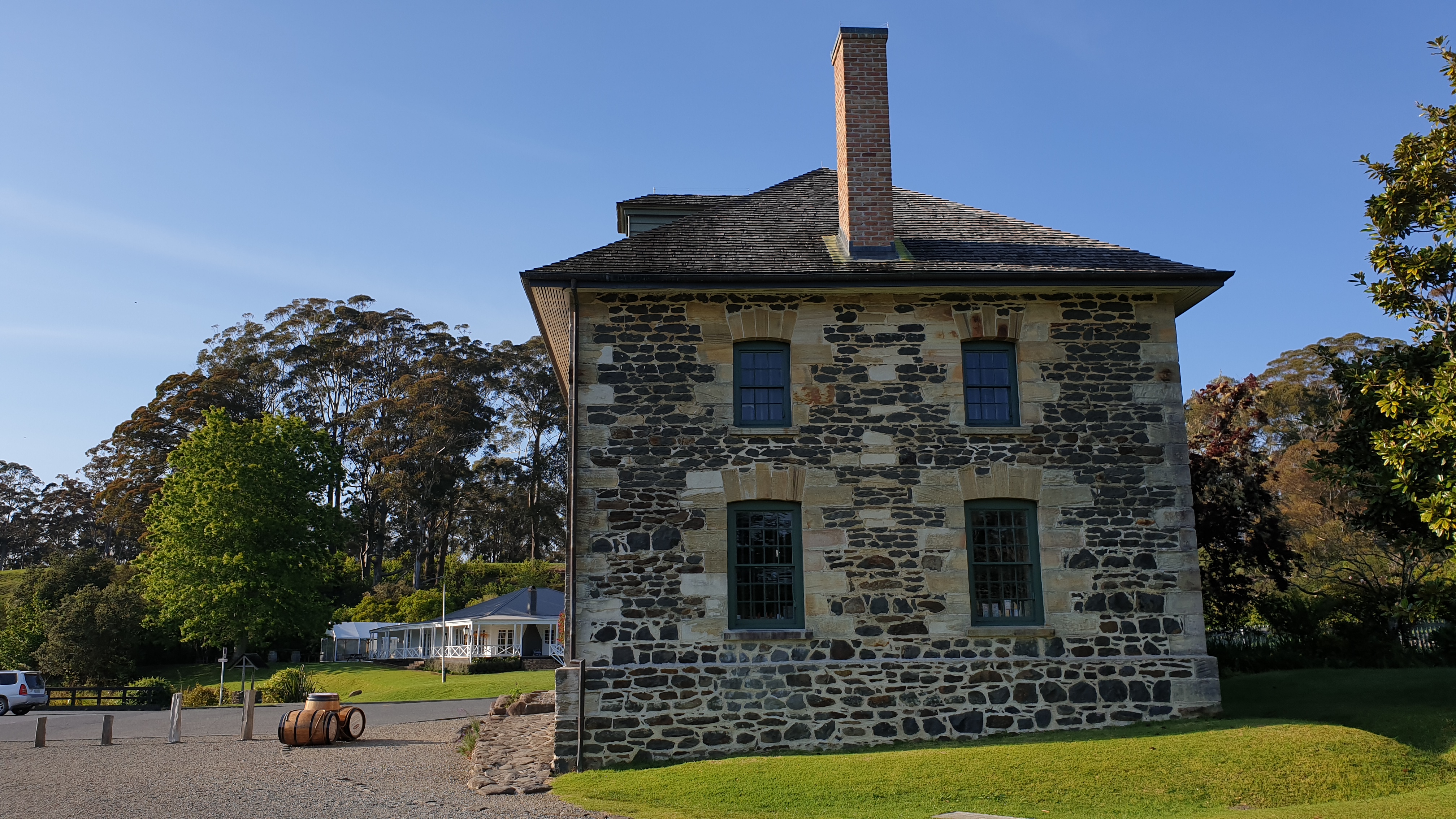
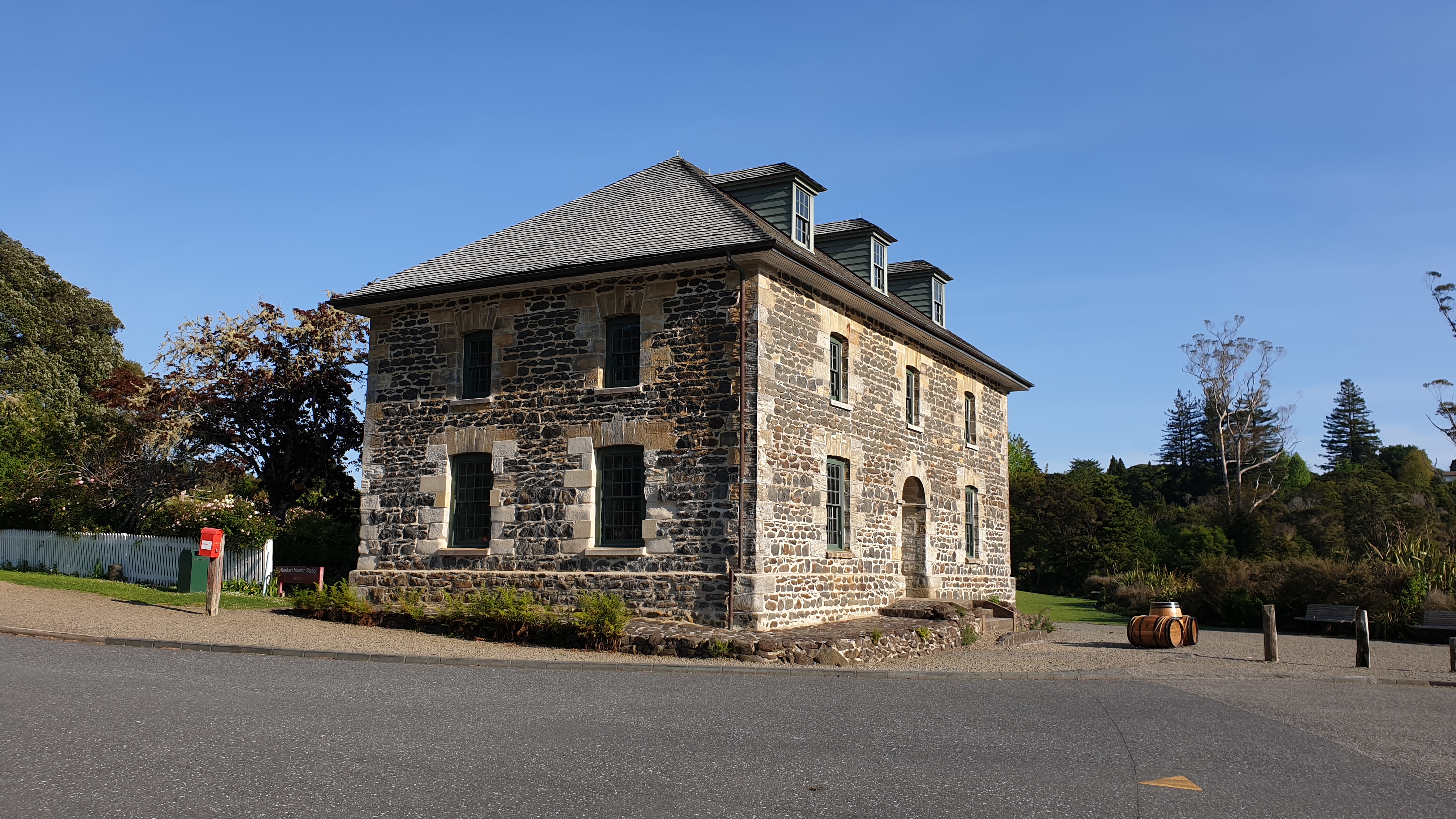
I spent a few minutes walking around the church, Stone Store and Kemp house and then carried on a few kilometres of road walking until hitting the 15 km forest trail to Waitangi.
This forest is a commercial pine forest and has a great pine smell. It’s pretty nice walking, but as these same things, get weary after a few kilometres of the same.
Coming out of the forest is a lookout across the Bay of Islands- a great part of NZ- especially in cloudless weather like I was having. A bit further down the road, when the forest stops and there was no tree cover it got hot! The views were still lovely though!
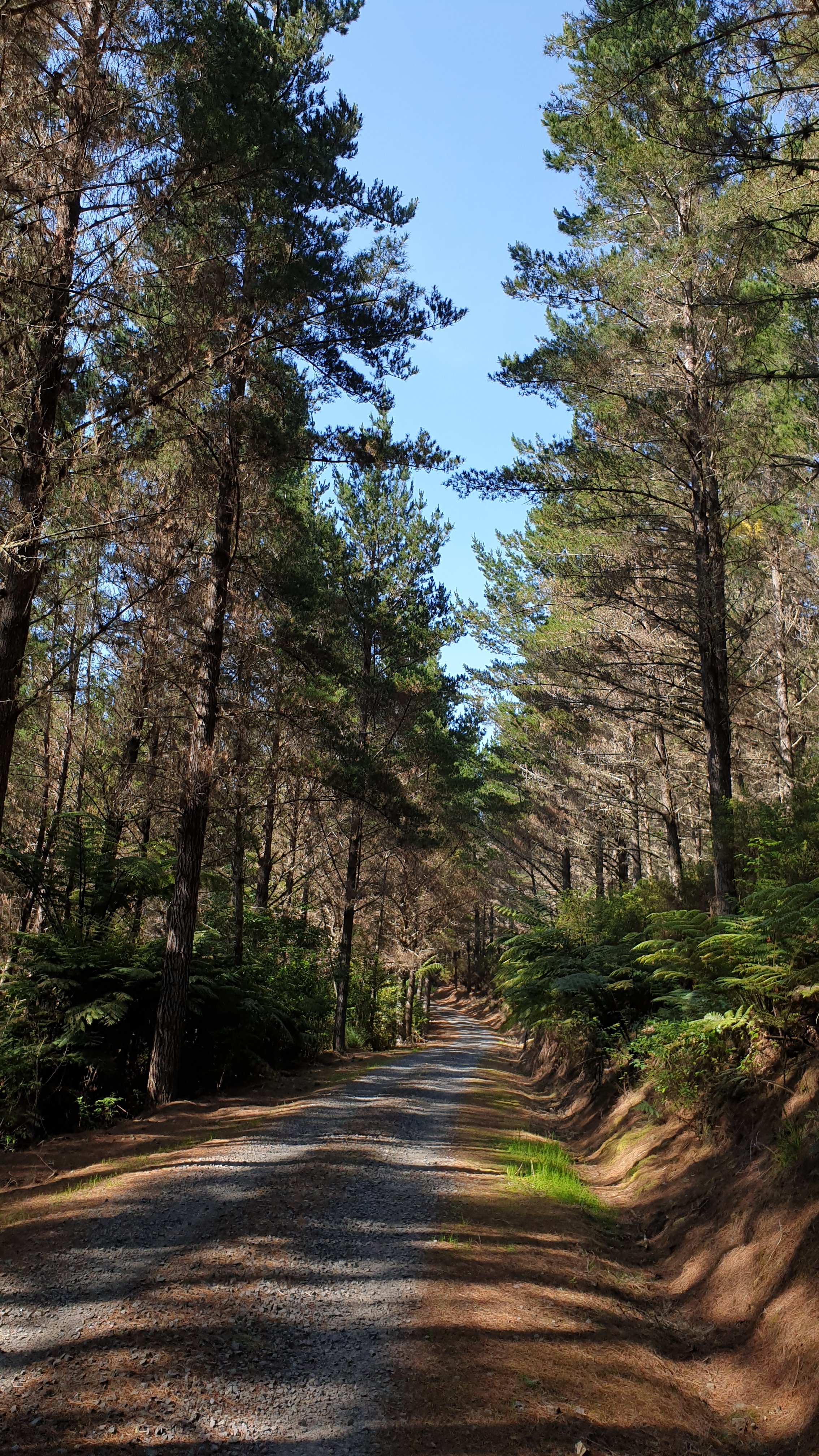
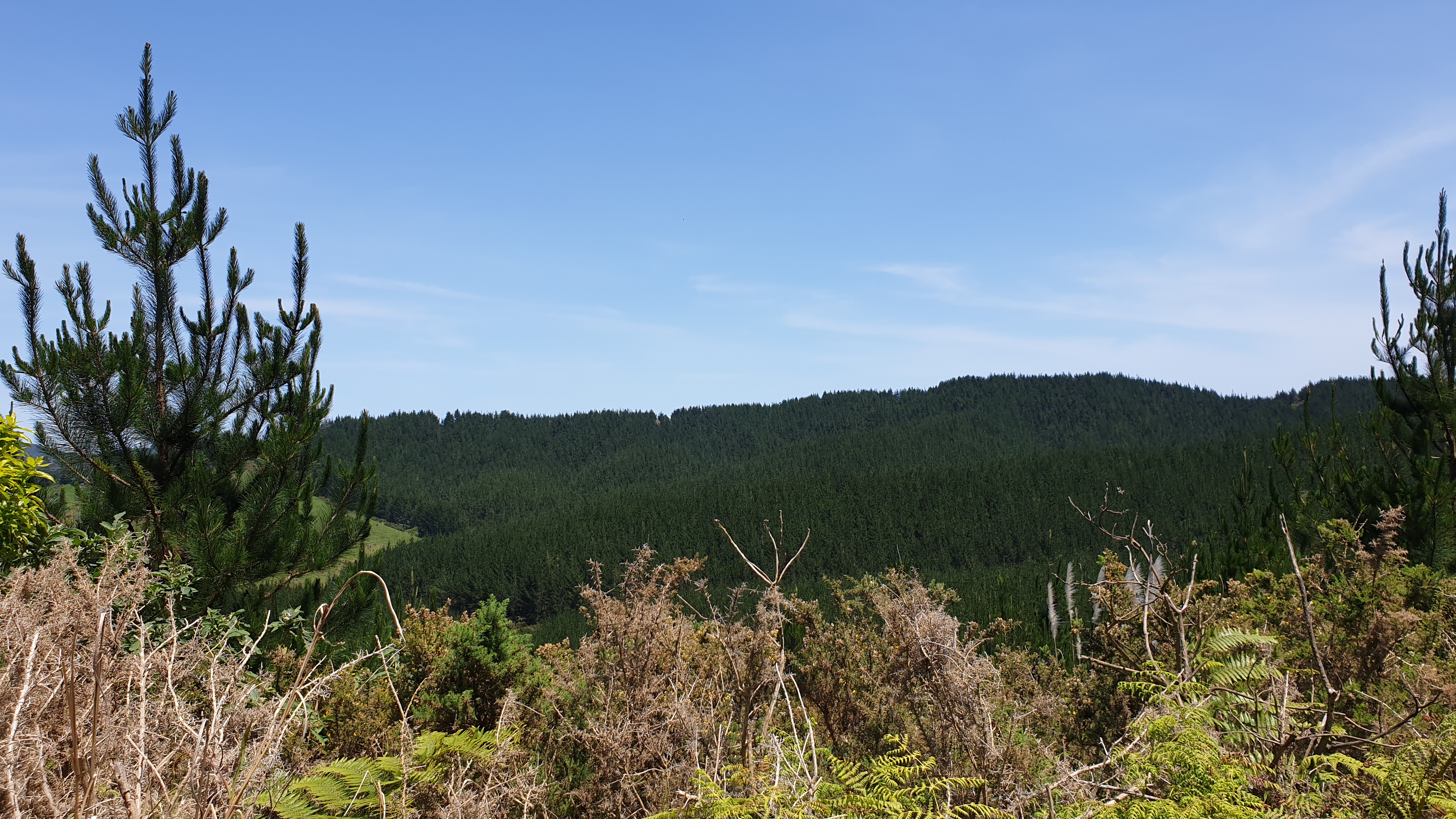
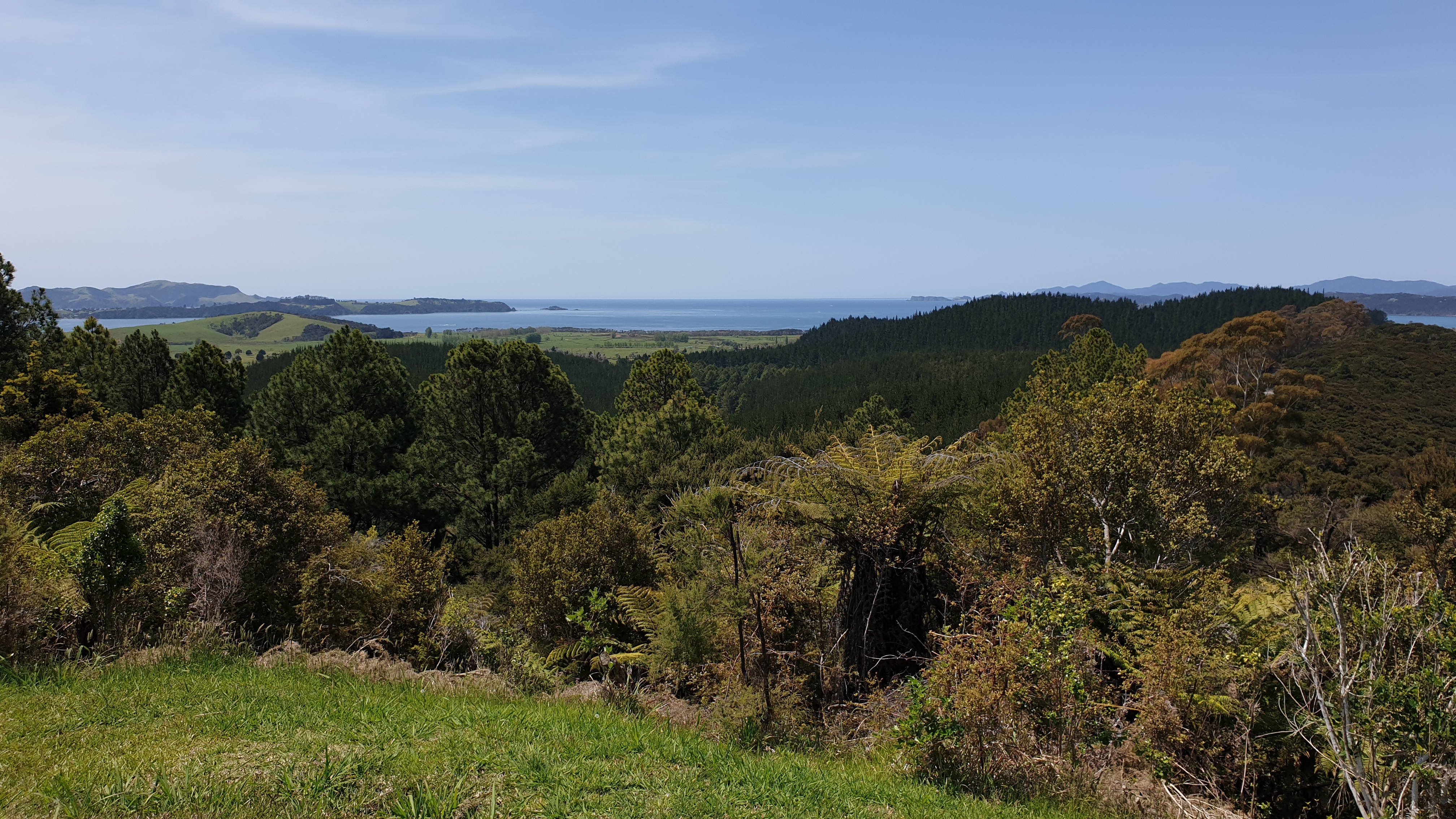
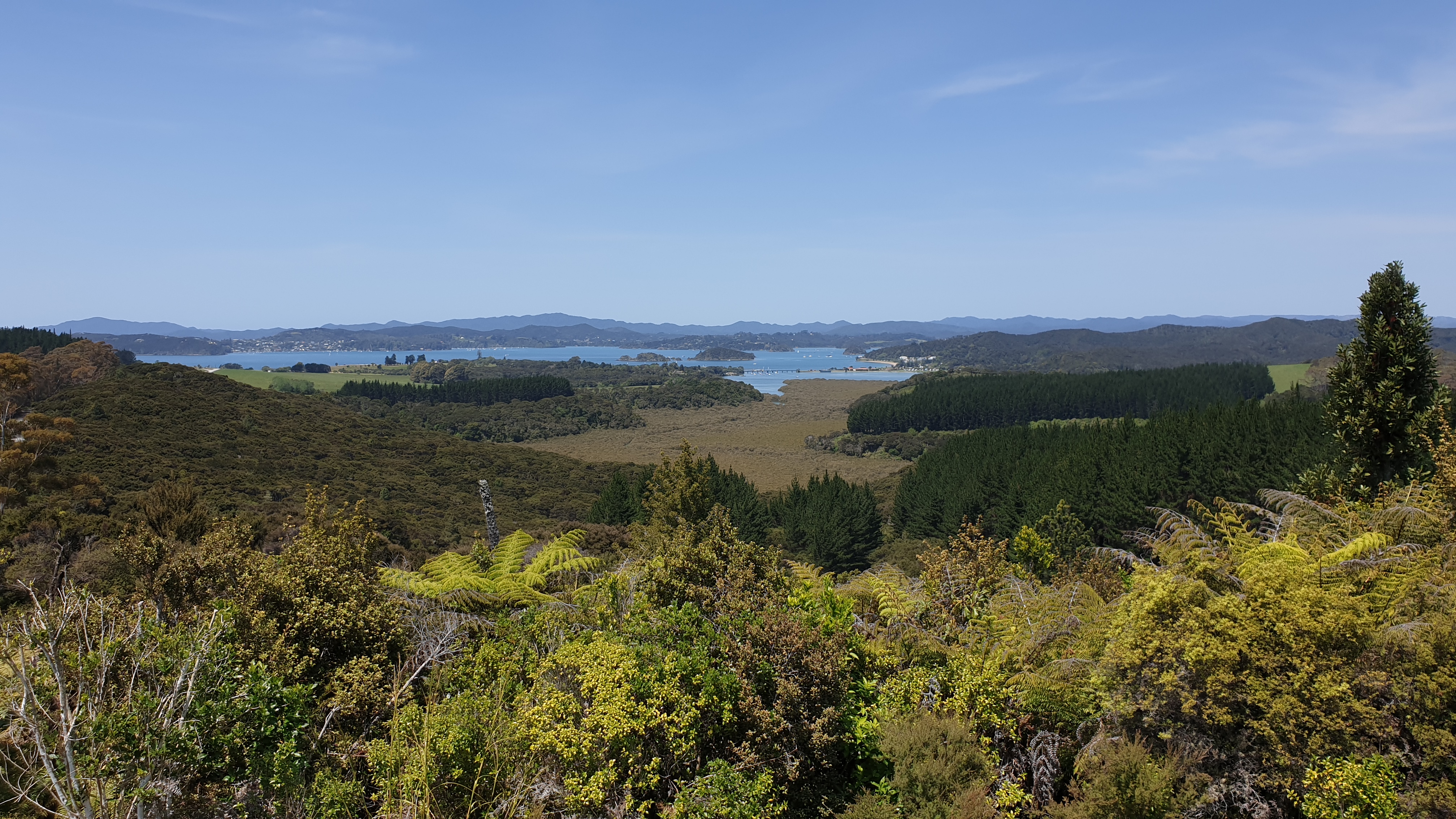
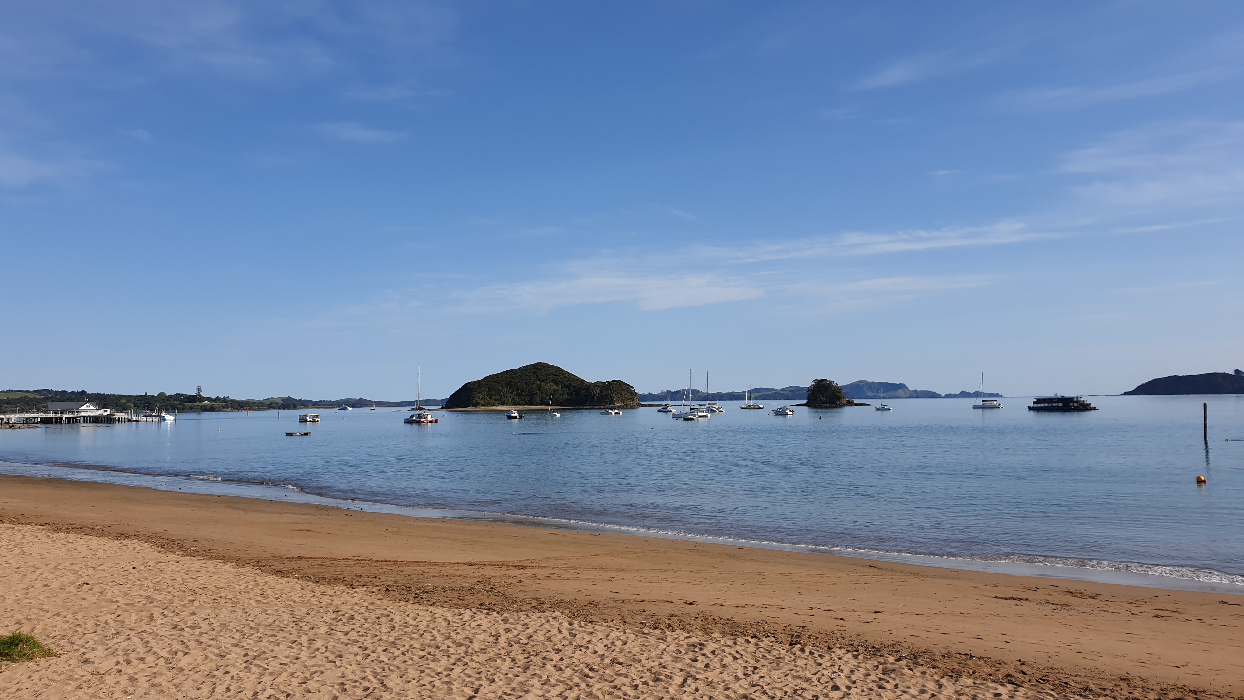
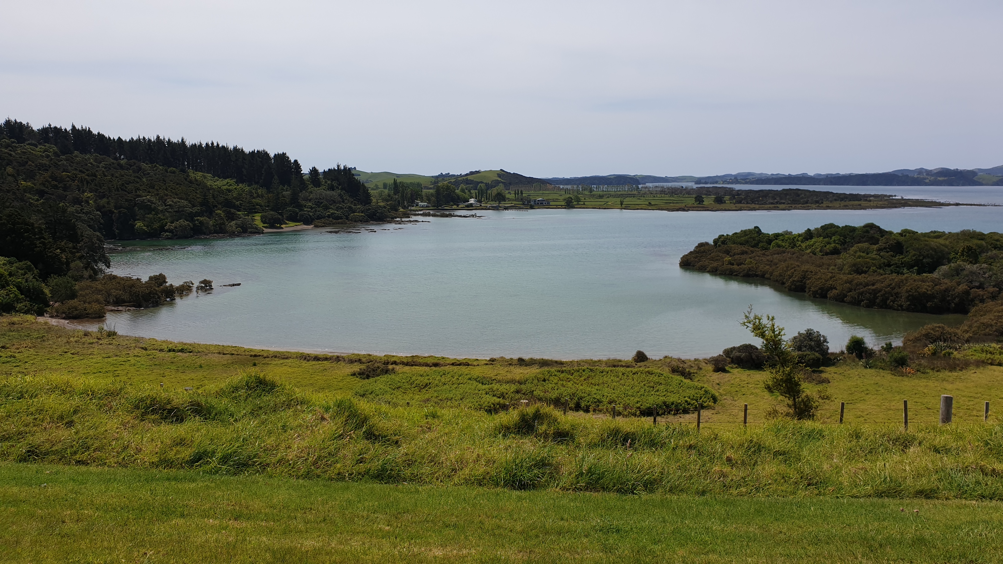
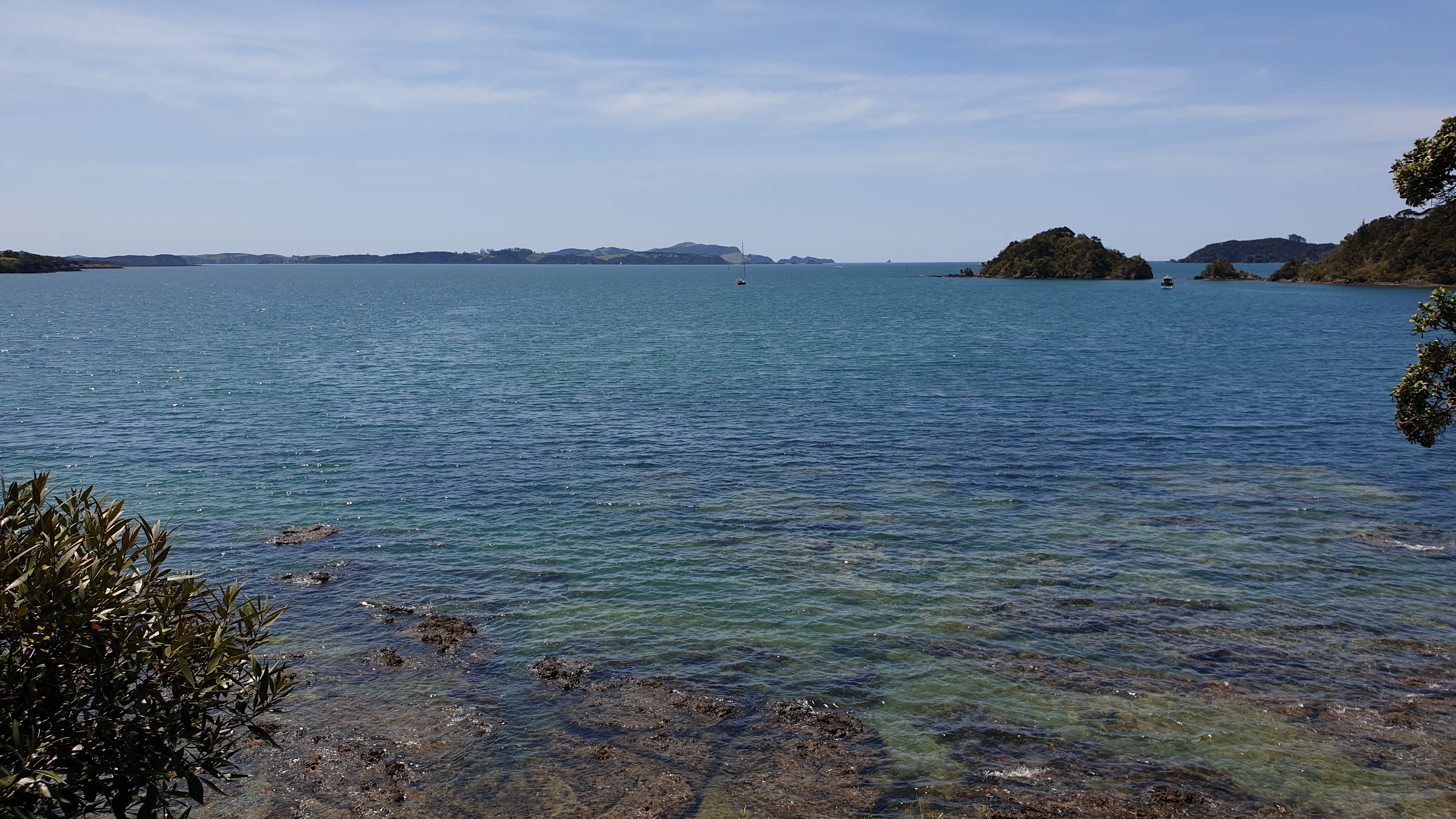
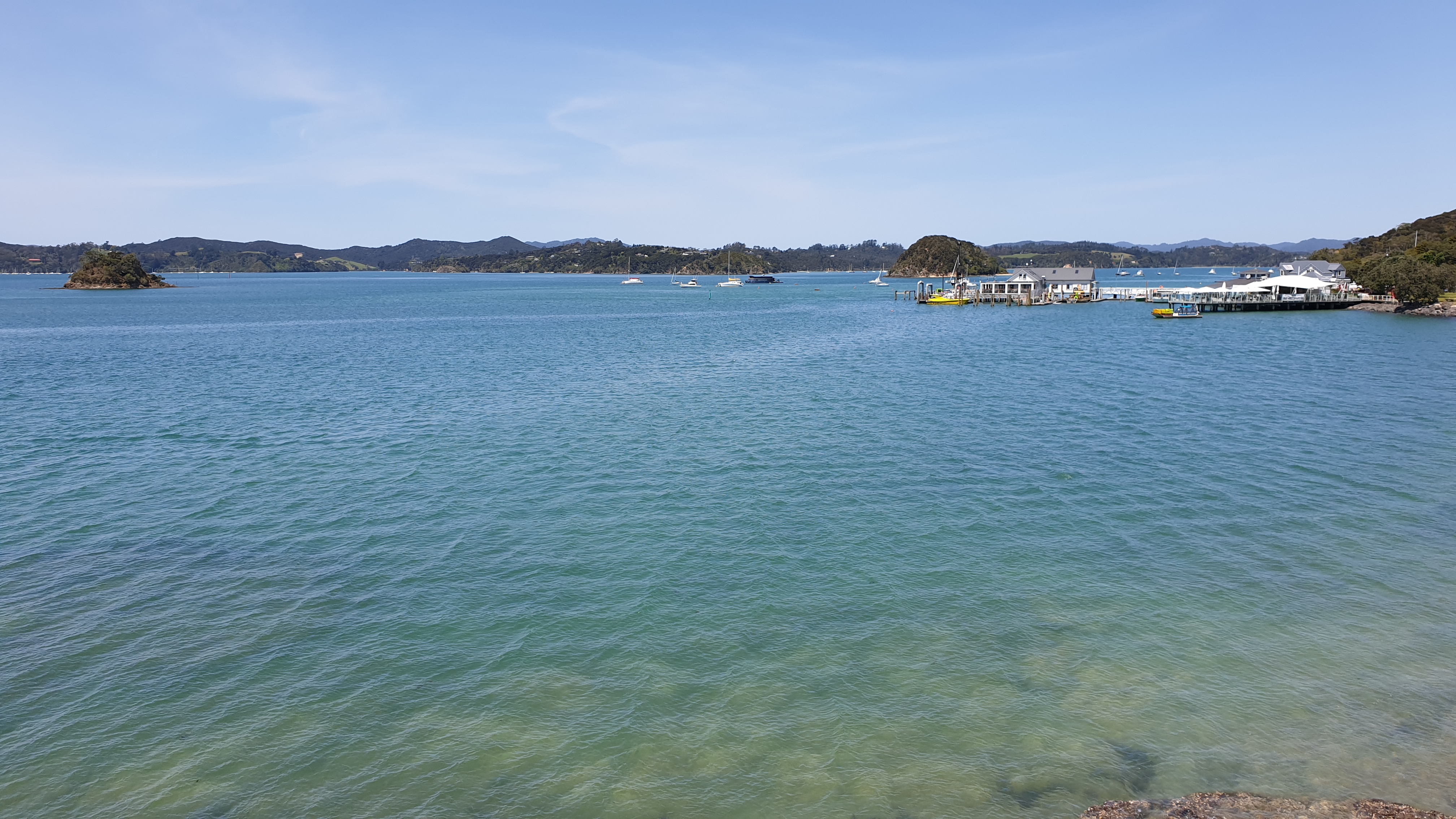
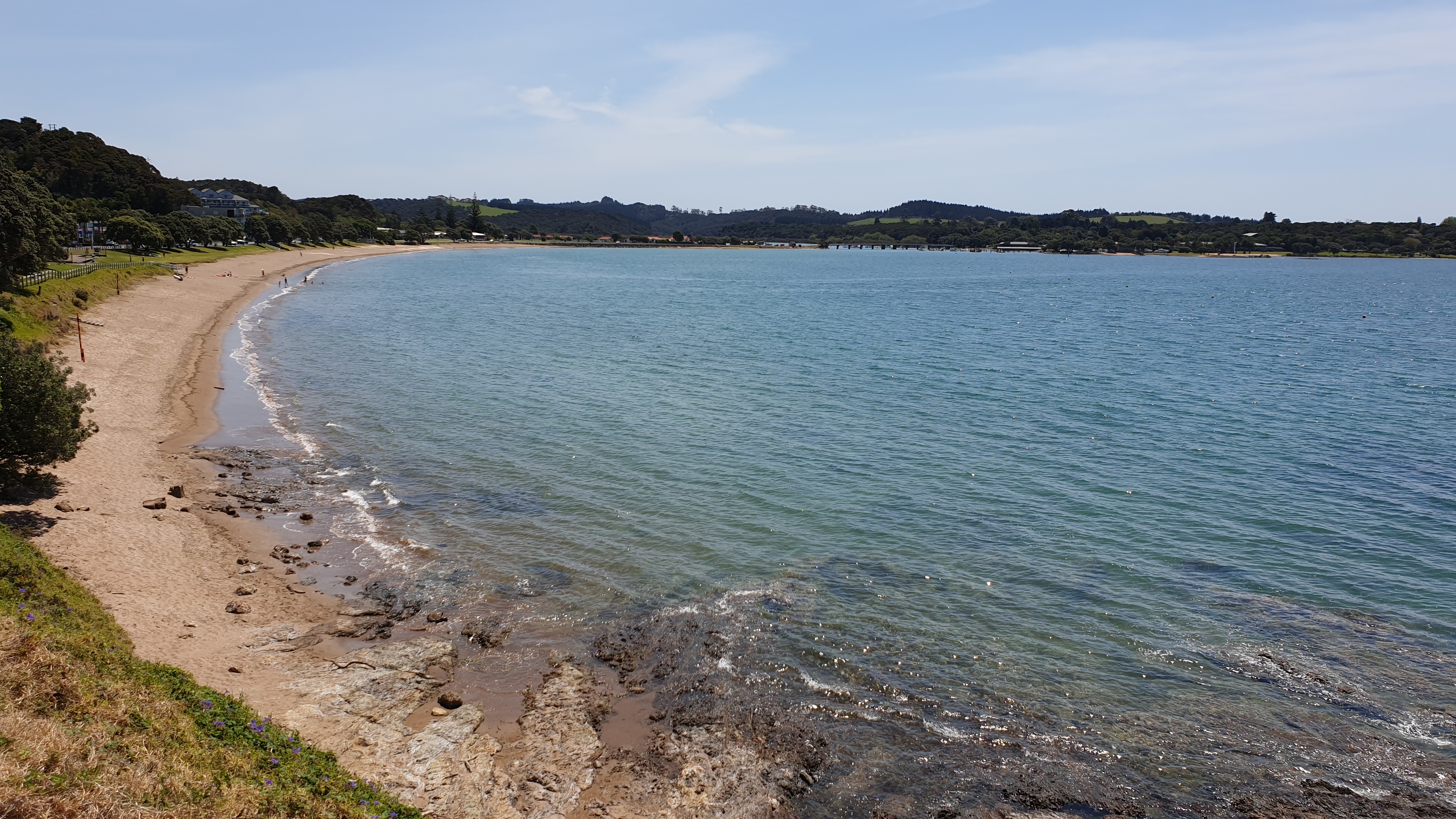
It was around 15h30 though and my feet were super sore. So I stopped for a few minutes and tried to hitch a ride for the last 3km. And it worked! Car #3 – an older couple from Canada, just coming back from Sunday golf, stopped and took me to the door of my hostel!! Yeah! Winning!
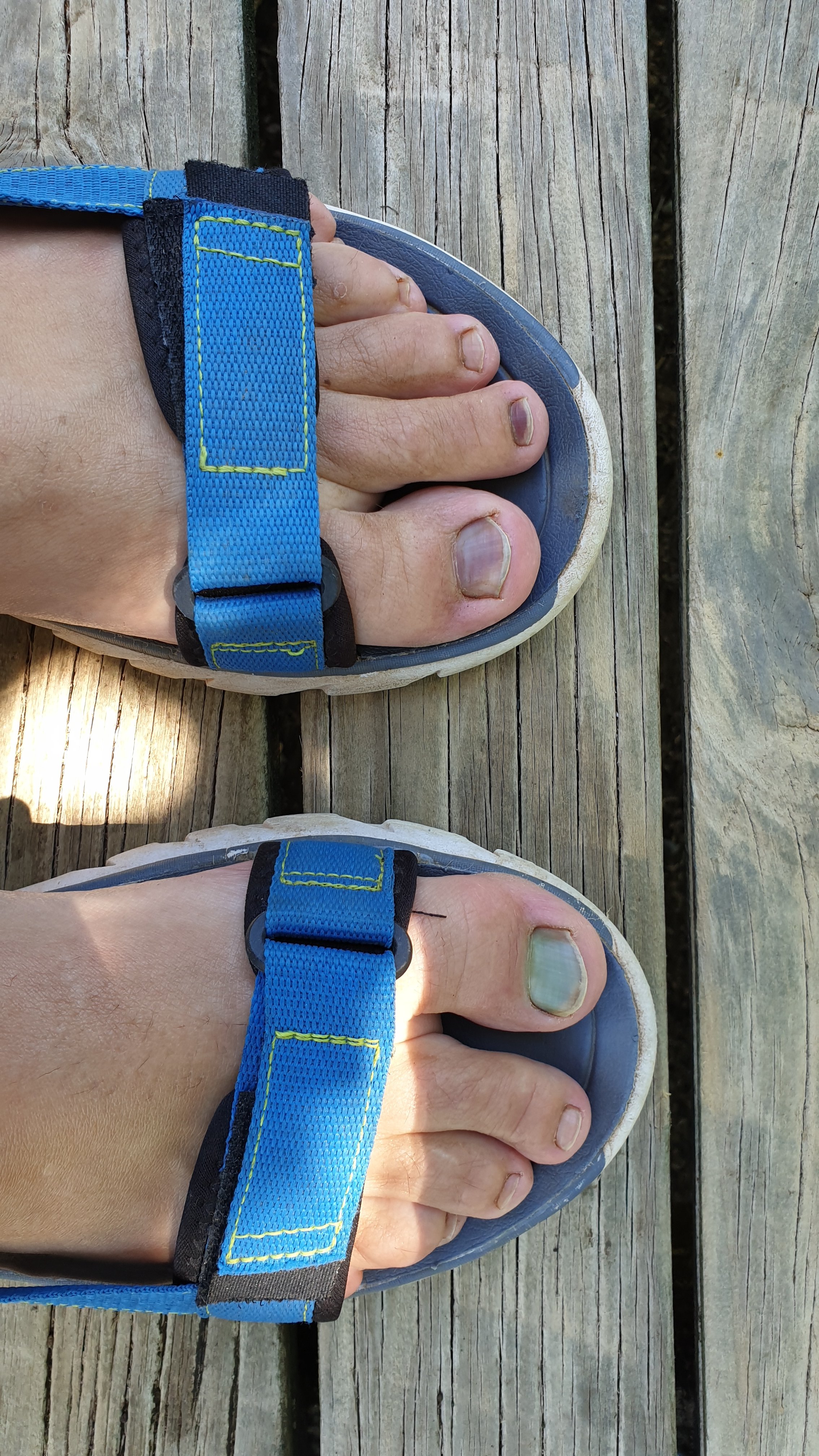
Upon arriving I took my shoes off to inspect my feet and noted that my toenail had very much lifted from the bed and was just attached around the edges. I decided to seek medical advice the next day- Monday.
Day 16
Km 6
Cumulative km 228.6
Today was another off day, though I did a few kilometres to/ from nurse and then to the Waitangi Treaty Ground.
Firstly the nurse checked me out- no doctor. No infection, I must keep the nailed trimmed, disinfected, dry and clean. She checked inside to see new nail growth and said I should keep this nail as long as possible for protection, but it will fall off soonish.
Based on this I have organised a road trip to miss the Russel forest, which includes 4km of river walking and possible mud, and join the track thereafter.
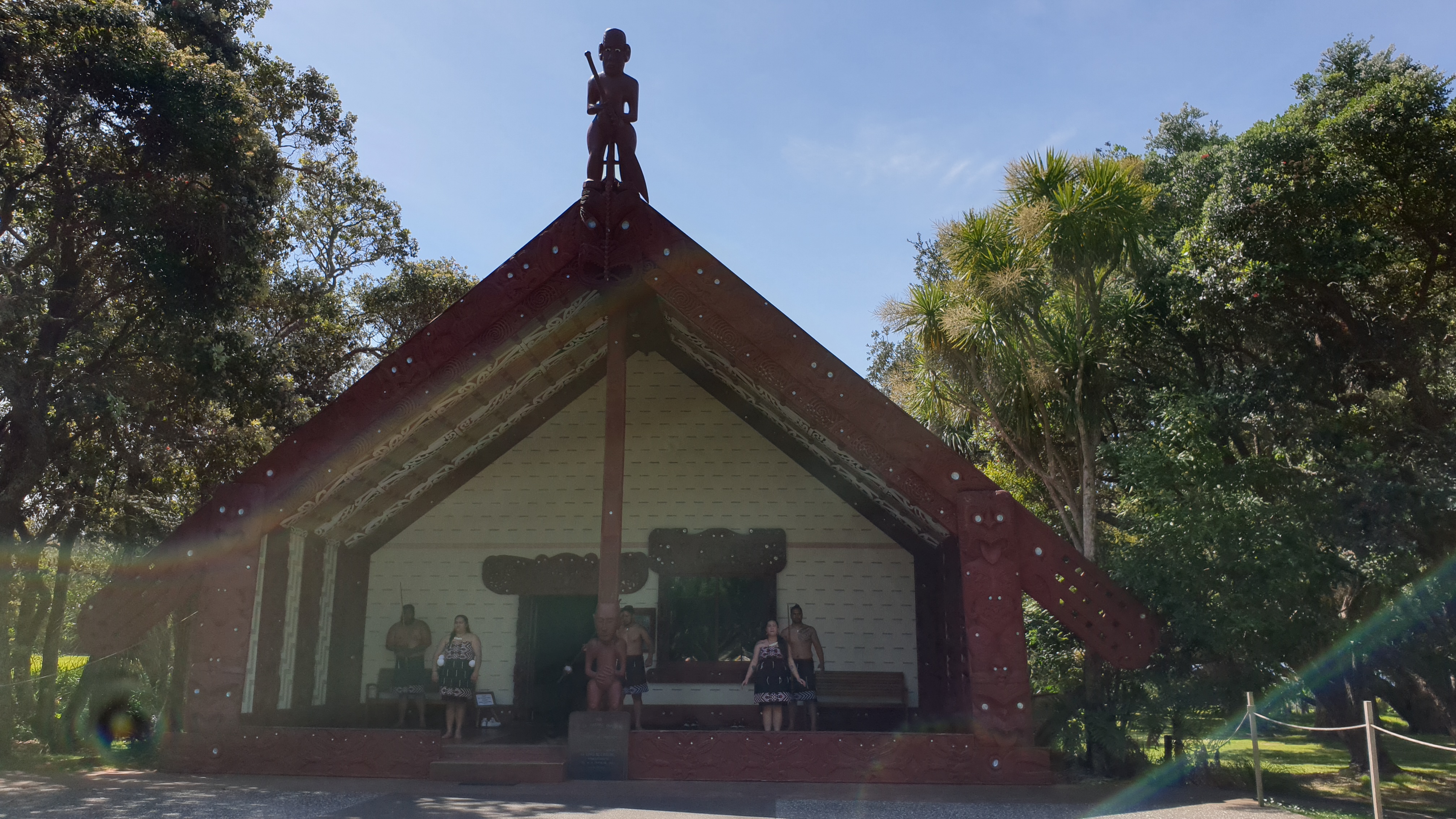
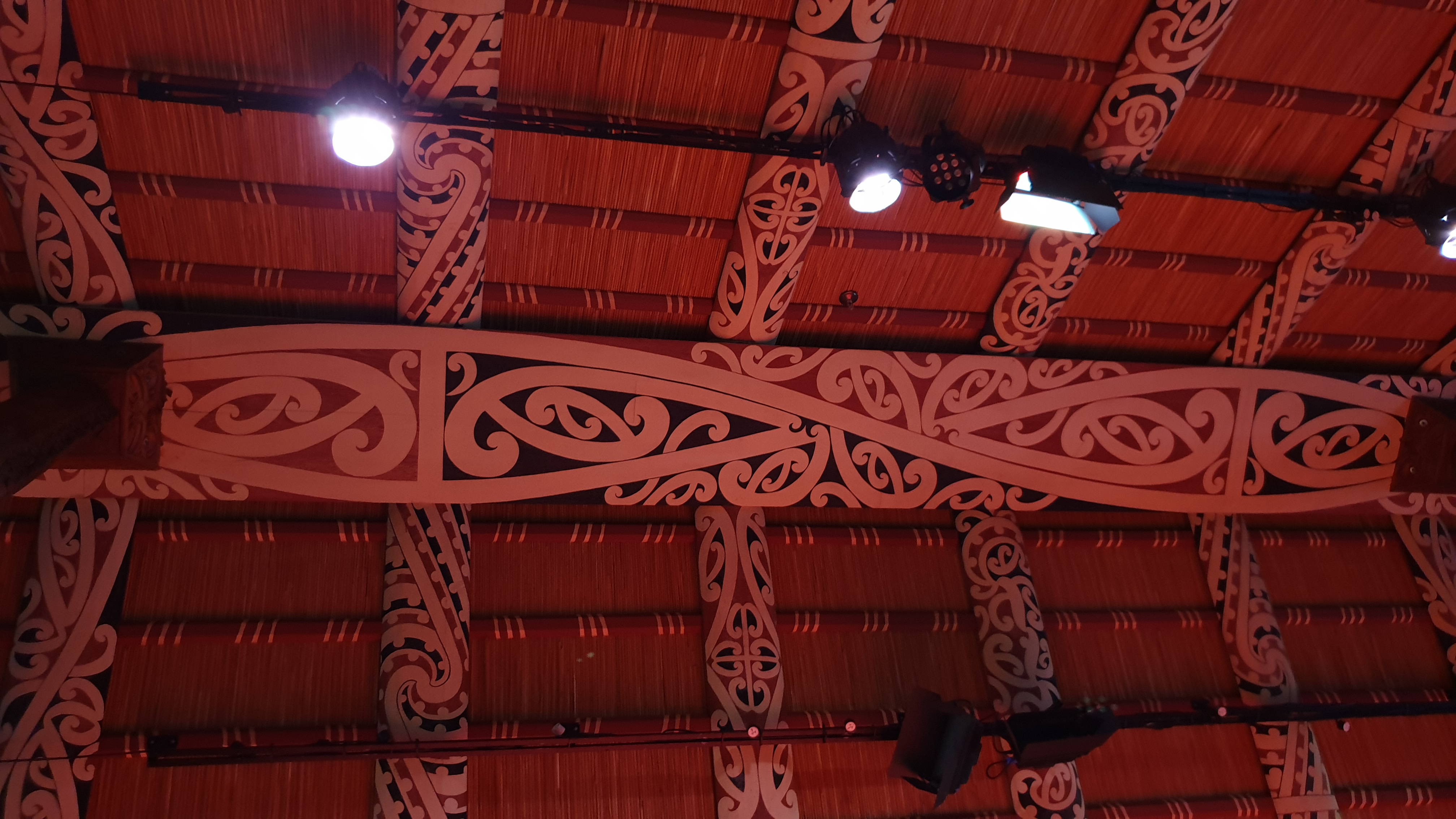
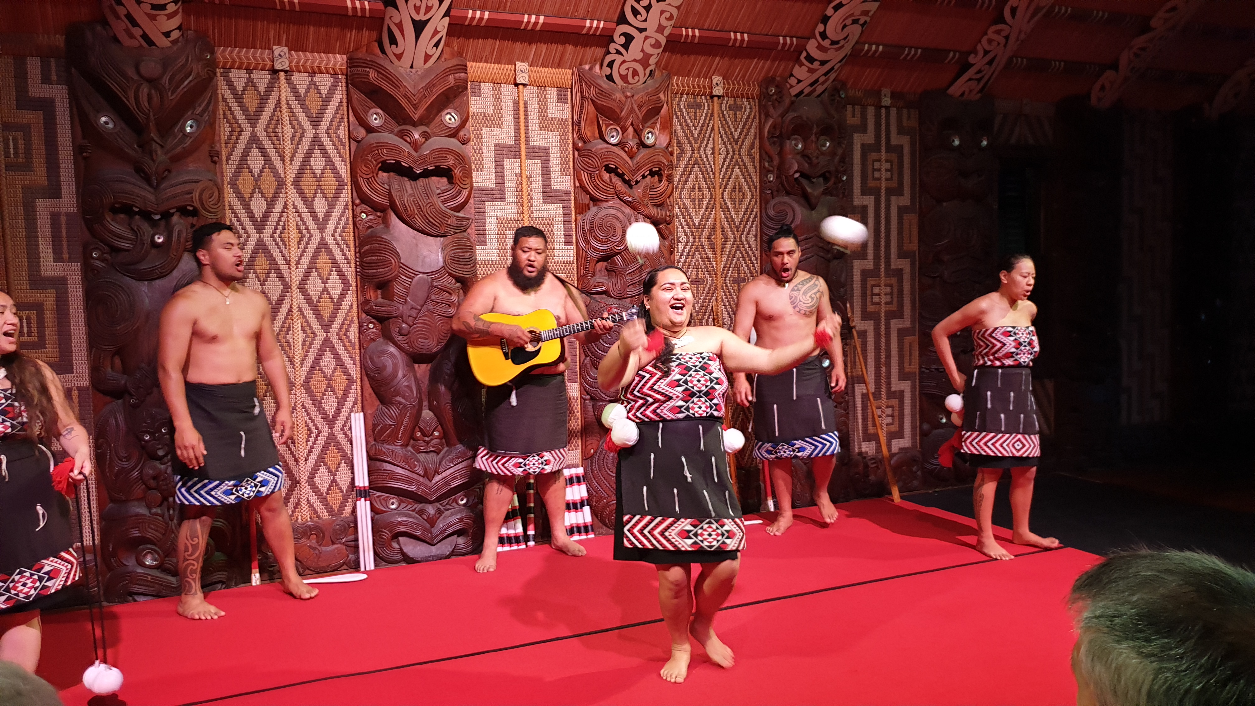
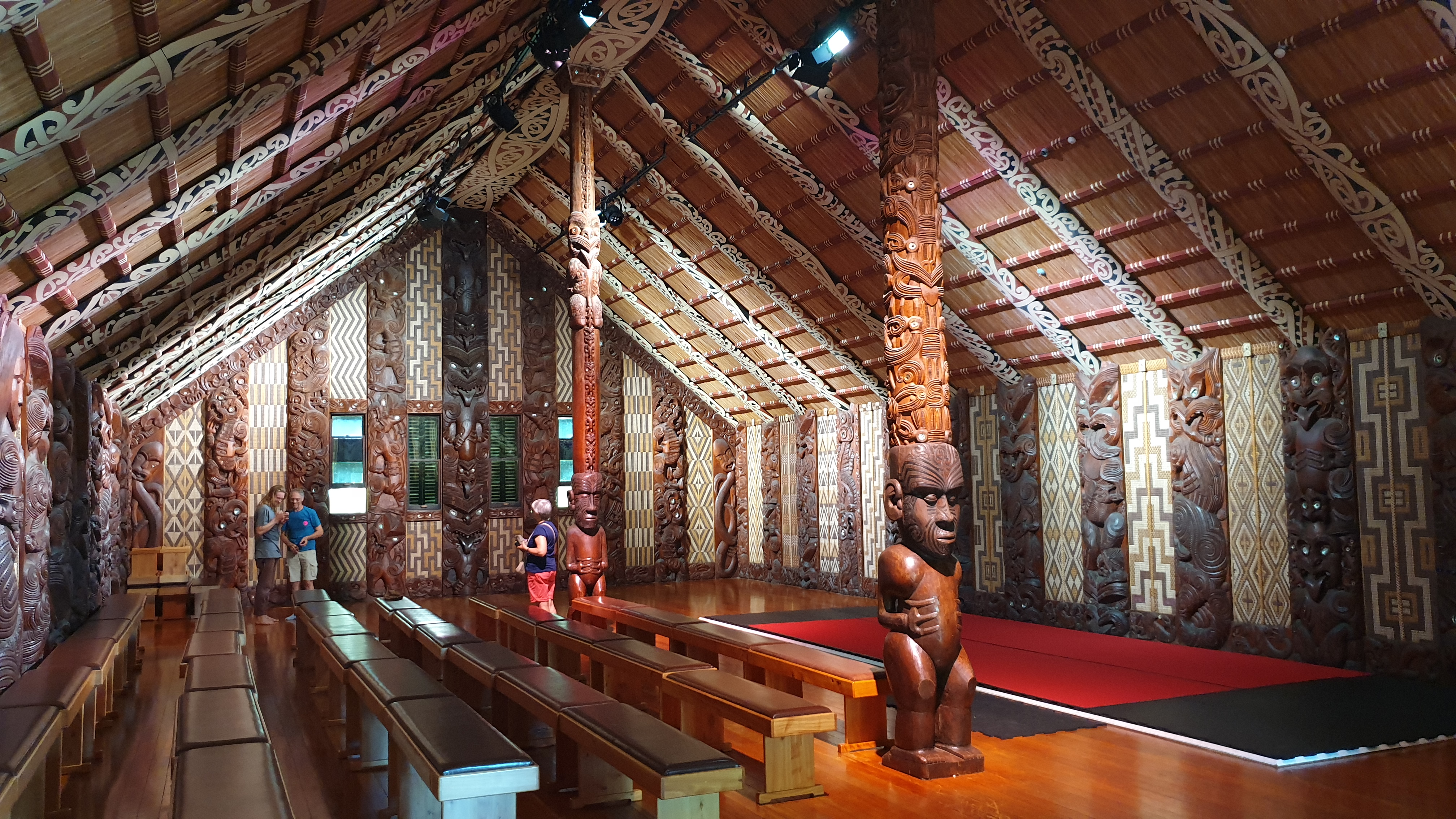
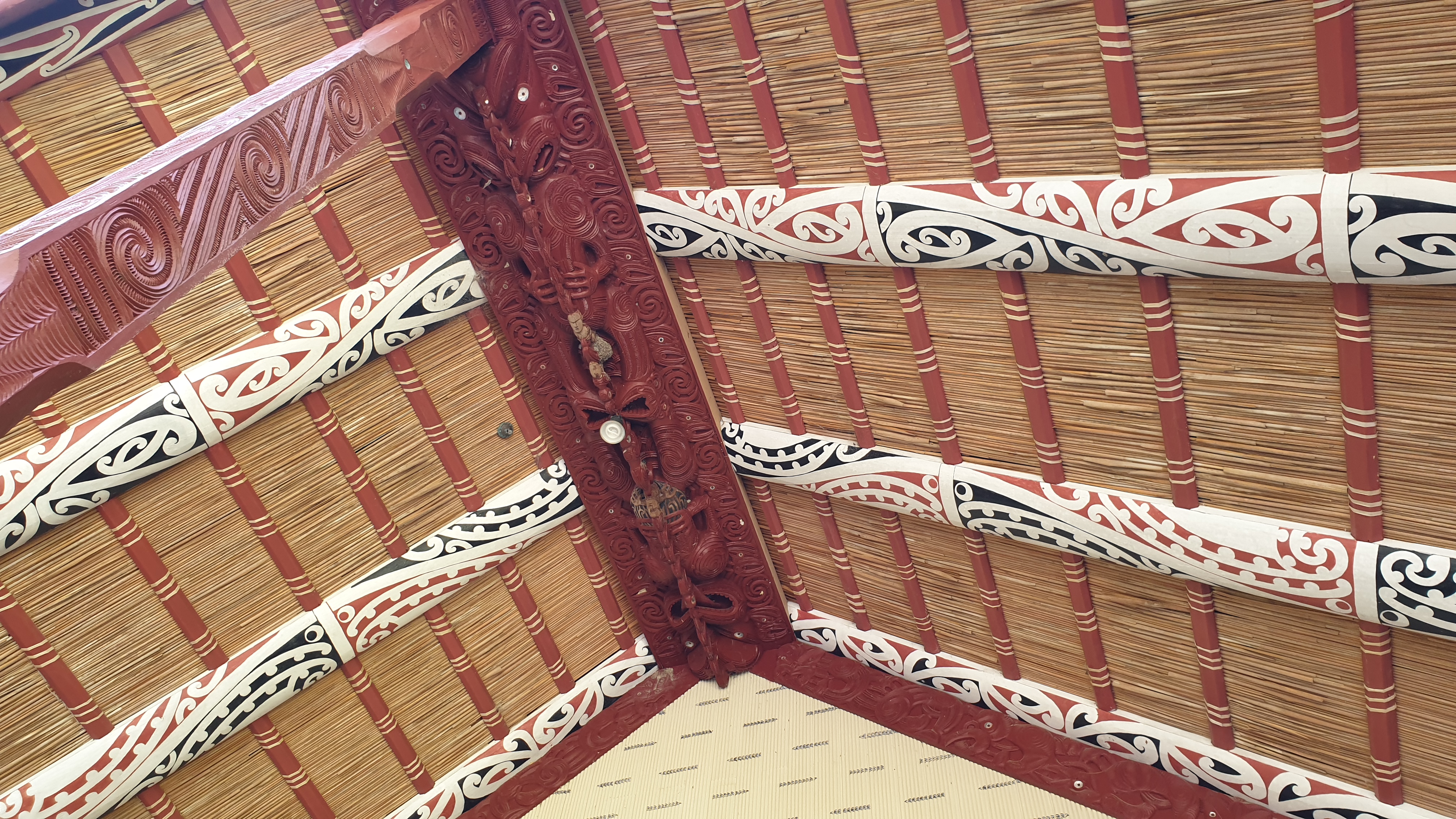
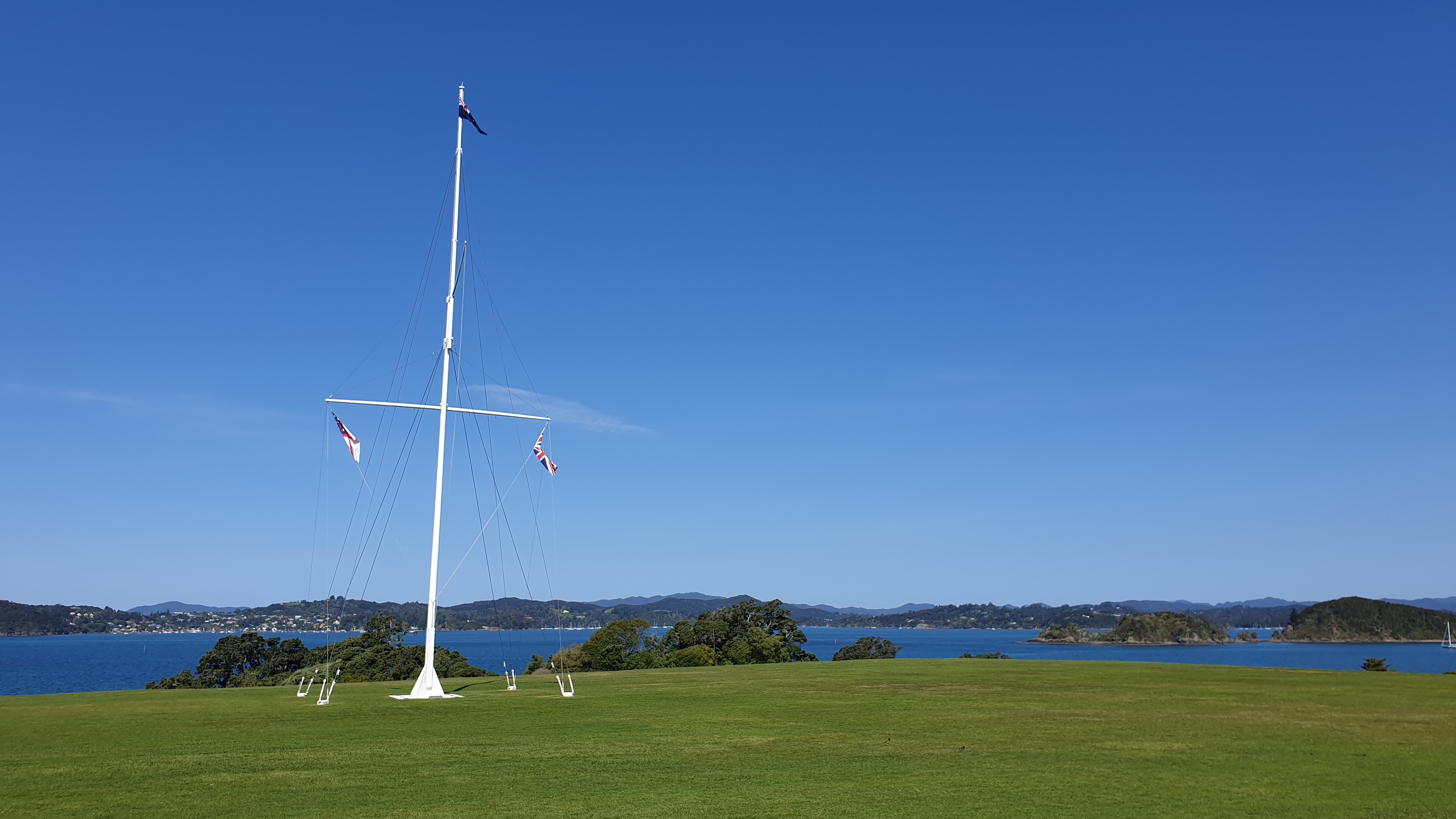
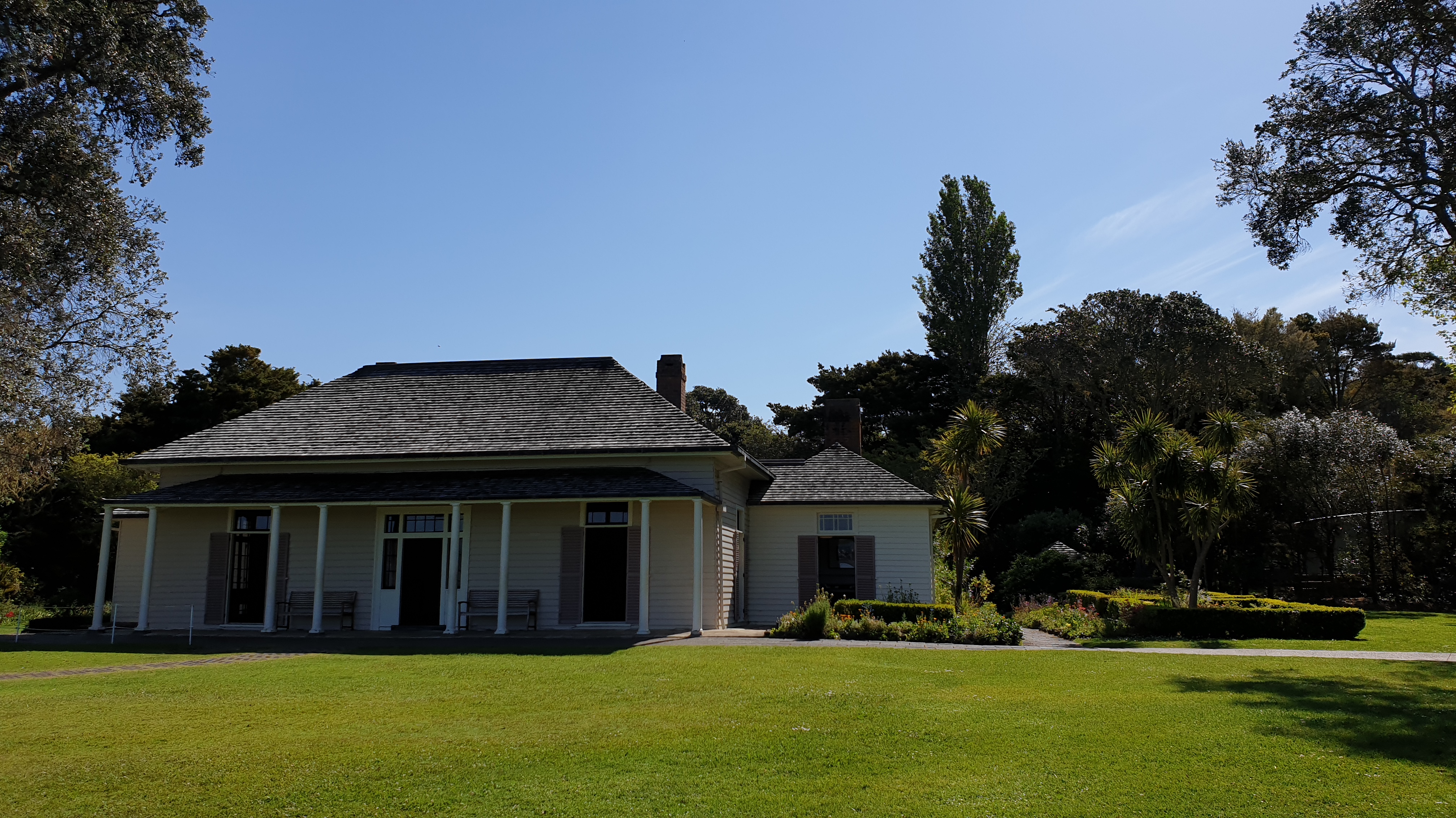
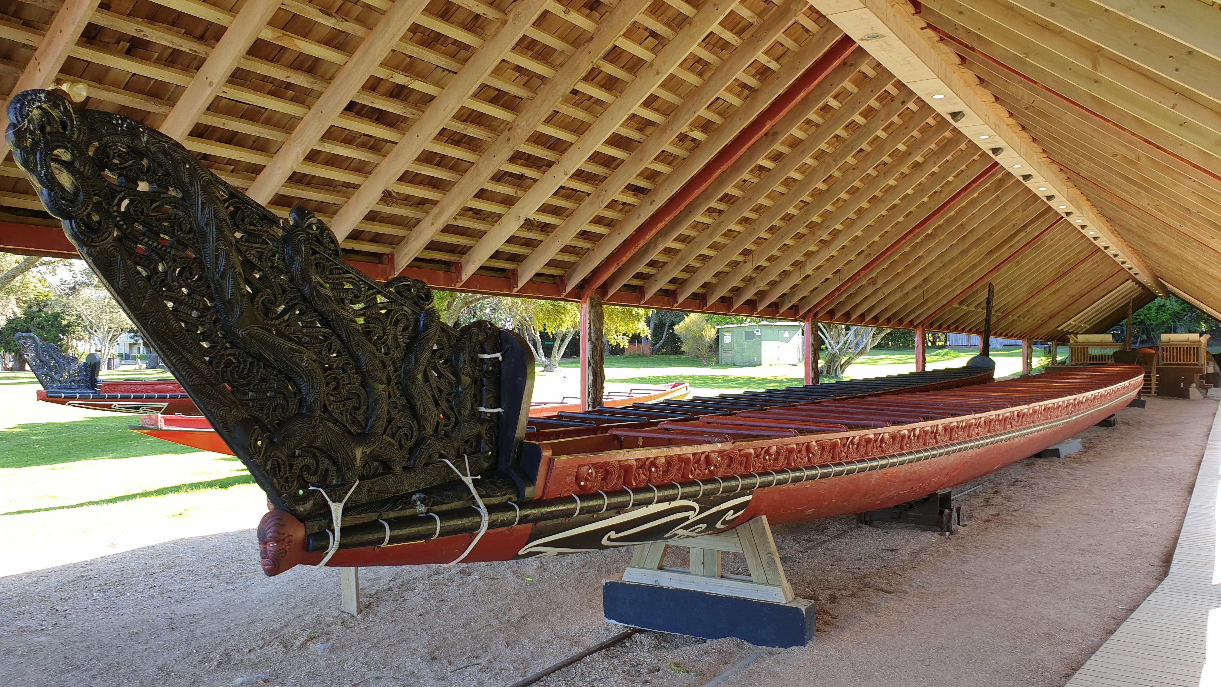
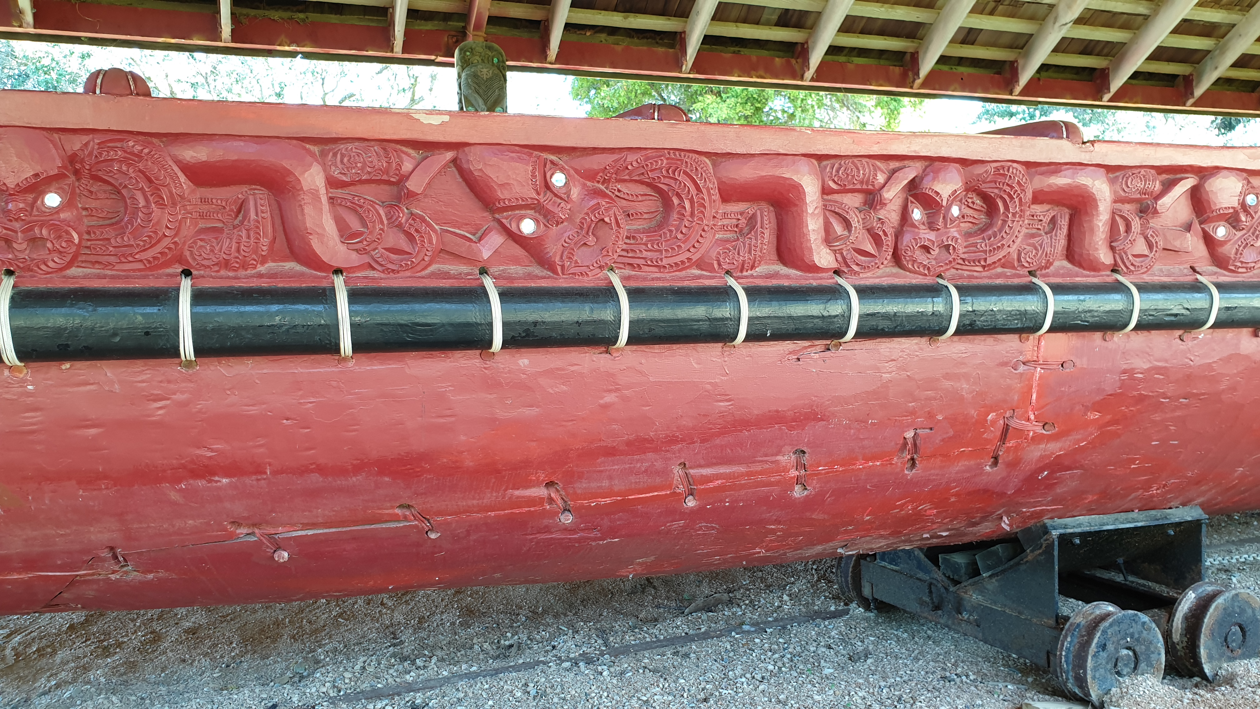
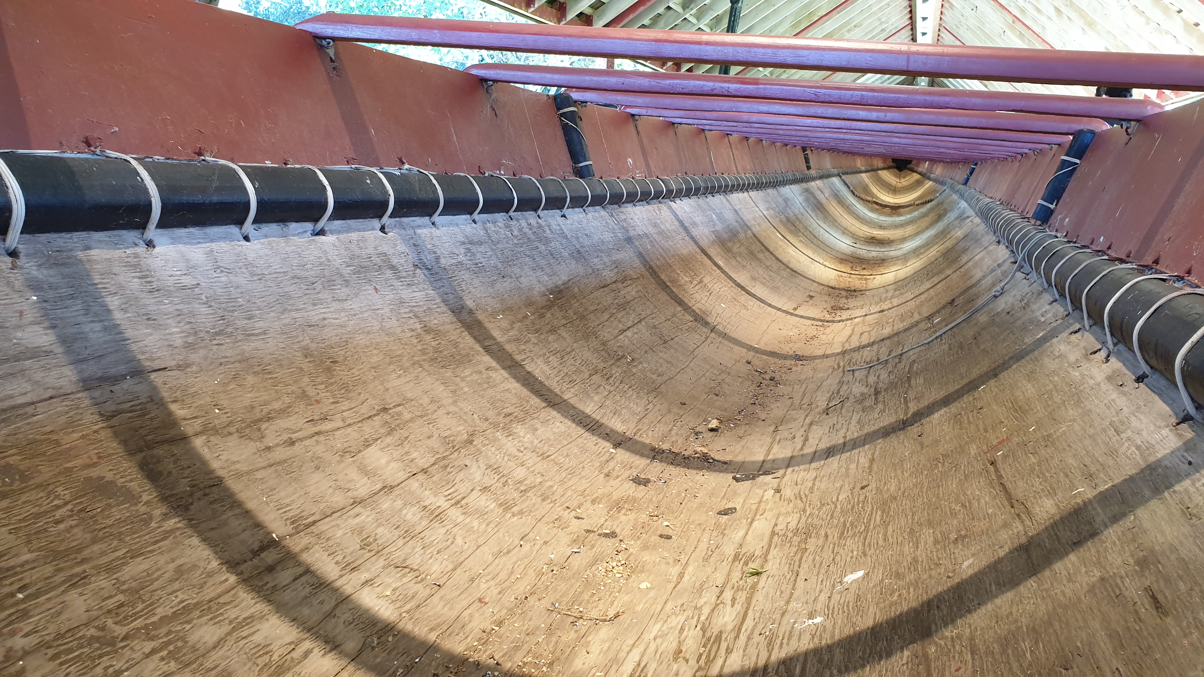
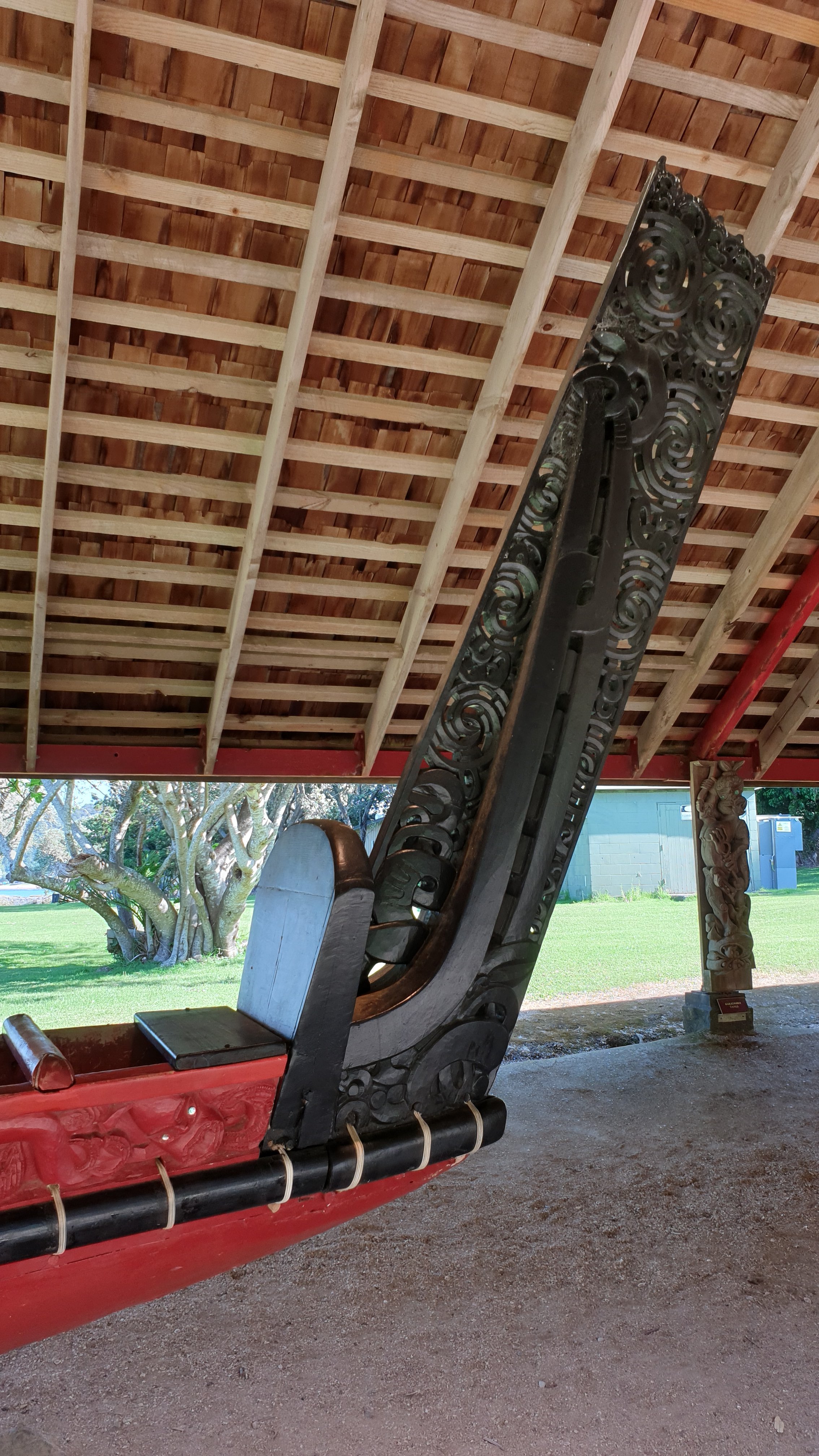
I did an afternoon visit at the Waitangi Treaty ground- a foreign entry ticket is 50 NZD ! Luckily I have my NZ license, so it was half price. The price includes a cultural performance and guided tour.
Ahipara to Kerikeri
Day 6
Date 25 October 2019
Km 0 (a few around town)
Cumulative km 101
Even though today was my day off I still got up early to catch the shuttle from Ahipara to Kaitaia at 07h30. I decided that I’m not keen on doing the road sections and would rather save my feet and legs for the next stretch.
Yesterday I did laundry, so today was resupply day and getting some pretty pricey gear. I also had a couple of coffees and sent a few items back to Auckland to see if I can go OK without them.
Day 7
Km 0 (a few around town)
Cumulative km 101
Unplanned rest day due to me having the shits yesterday into the evening. I didn’t want to head out without being certain it passed. I did really do anything else except download some Netflix and audiobooks for entertainment.
Day 8
Km 23
Cumulative km 124
My intention was to hitch out of Kaitaia and get dropped off at the start of the dirt road, 7km away.
Being early on a Sunday morning though there weren’t very many cars and those around were not keen on giving me a ride. So I added the 7km to the rest of the day which was dirt road and then another 6km of sealed road into Takahue.
Not a very exciting day in terms of scenery, mainly farmland. There is a campsite, no toilet though, 1.5km after the start of the trail. I meet a Belgian couple that were a few days ahead of me on 90 Mile Beach. They were camping here for the last 4 days, with injury. Then I met a bunch of guys (French/English) who were 3 days behind- and clearly caught up without rest days. They hitched the whole way from Kaitaia though.
So you can see everyone does their own thing.
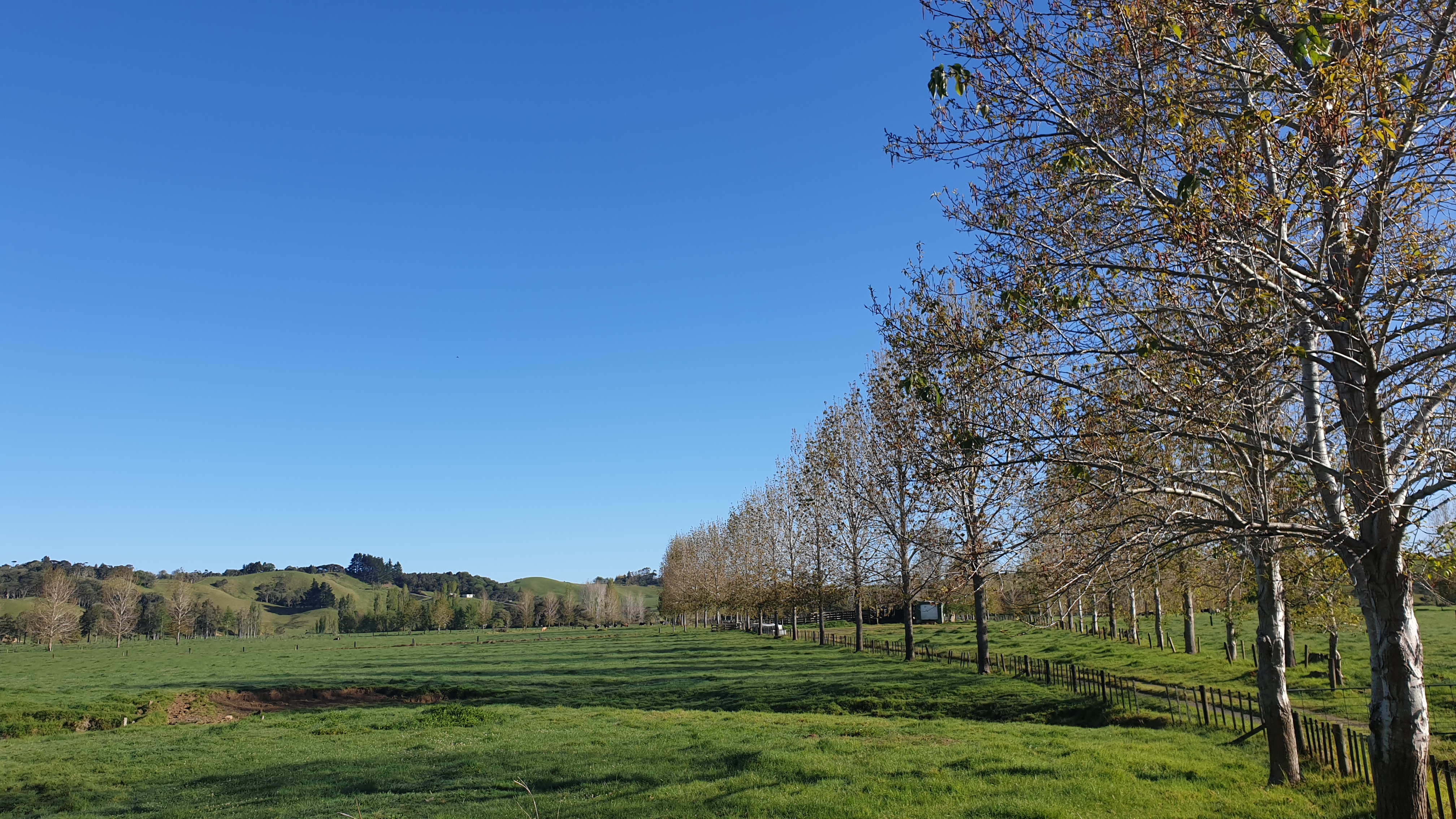
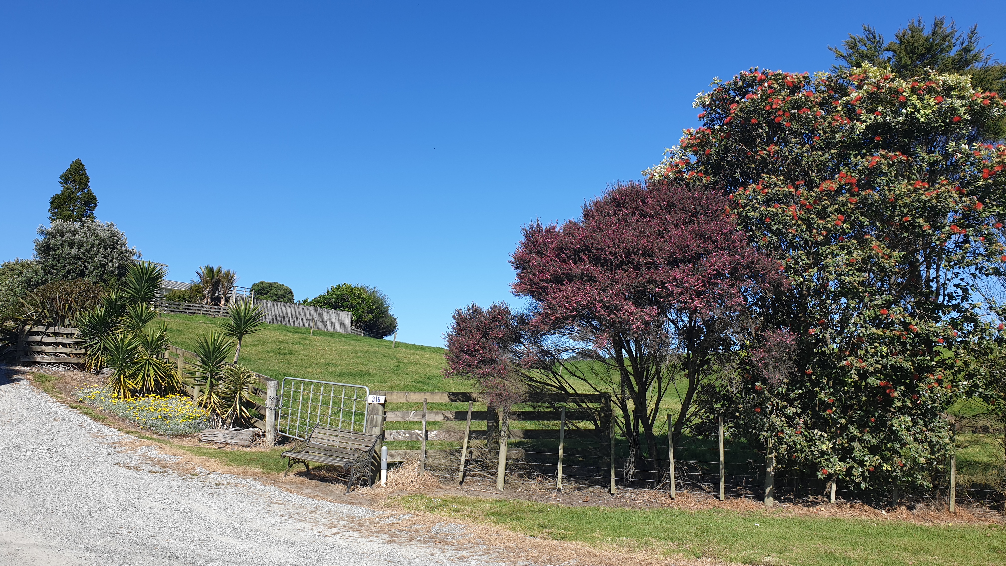
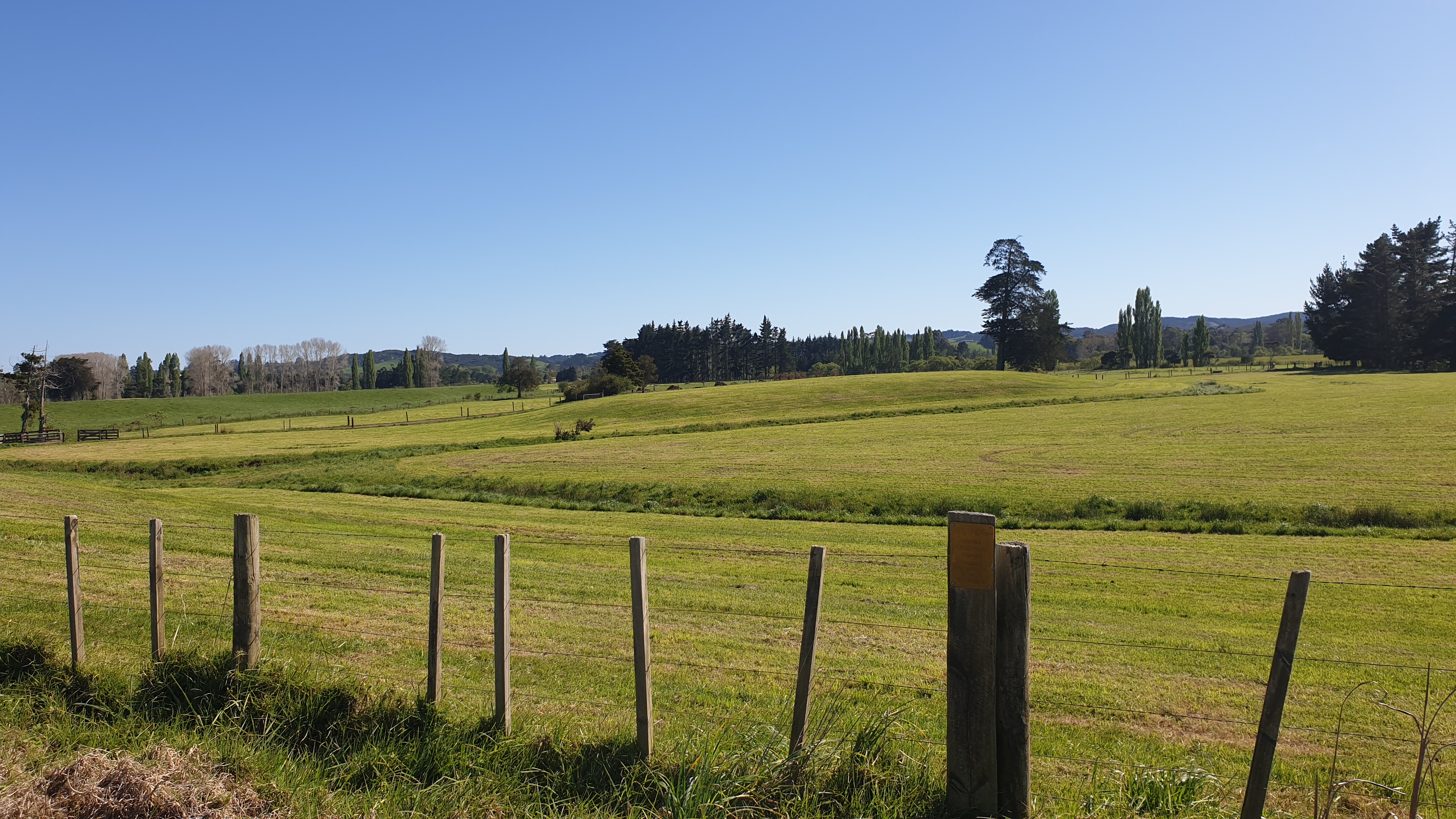
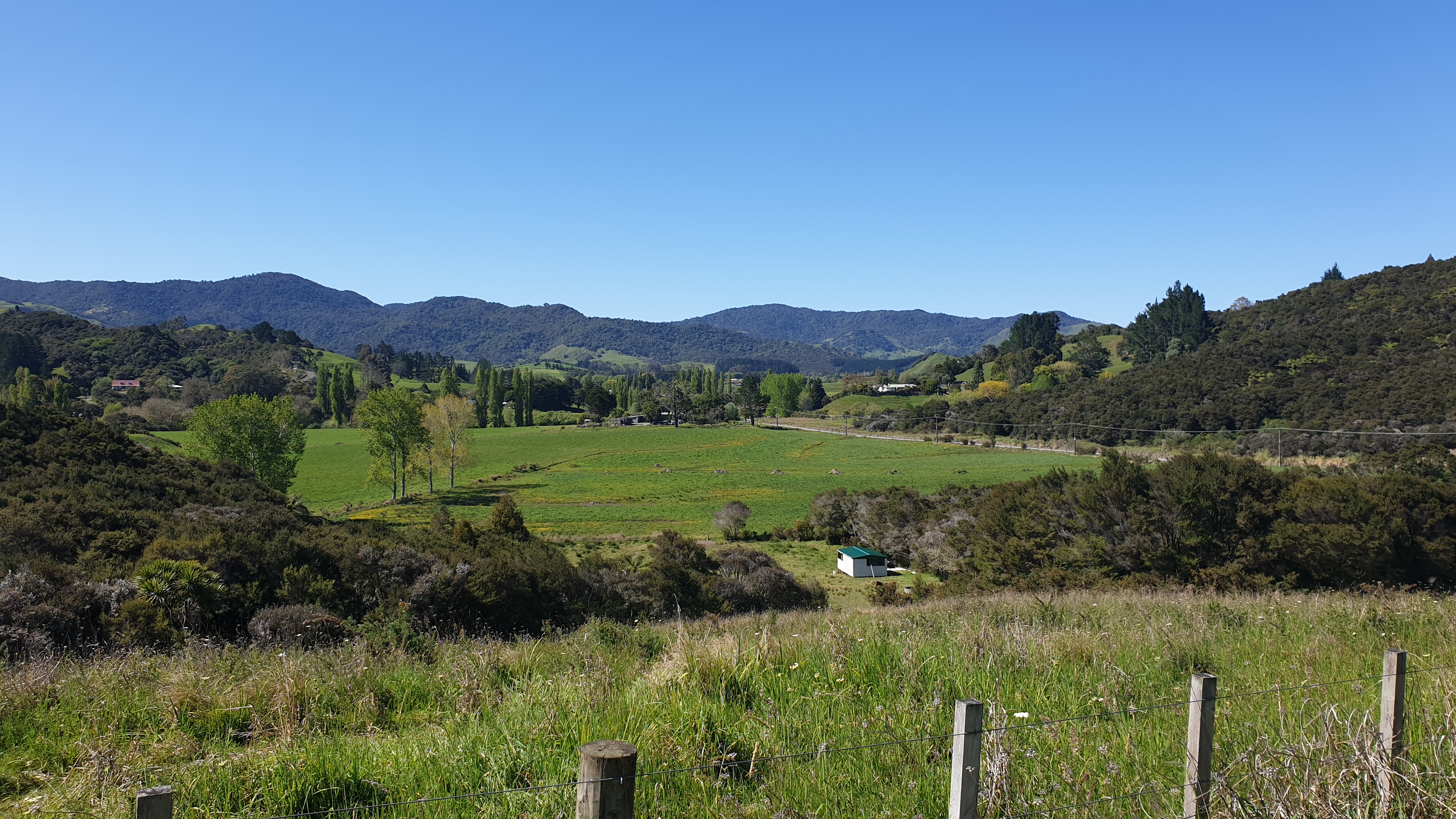
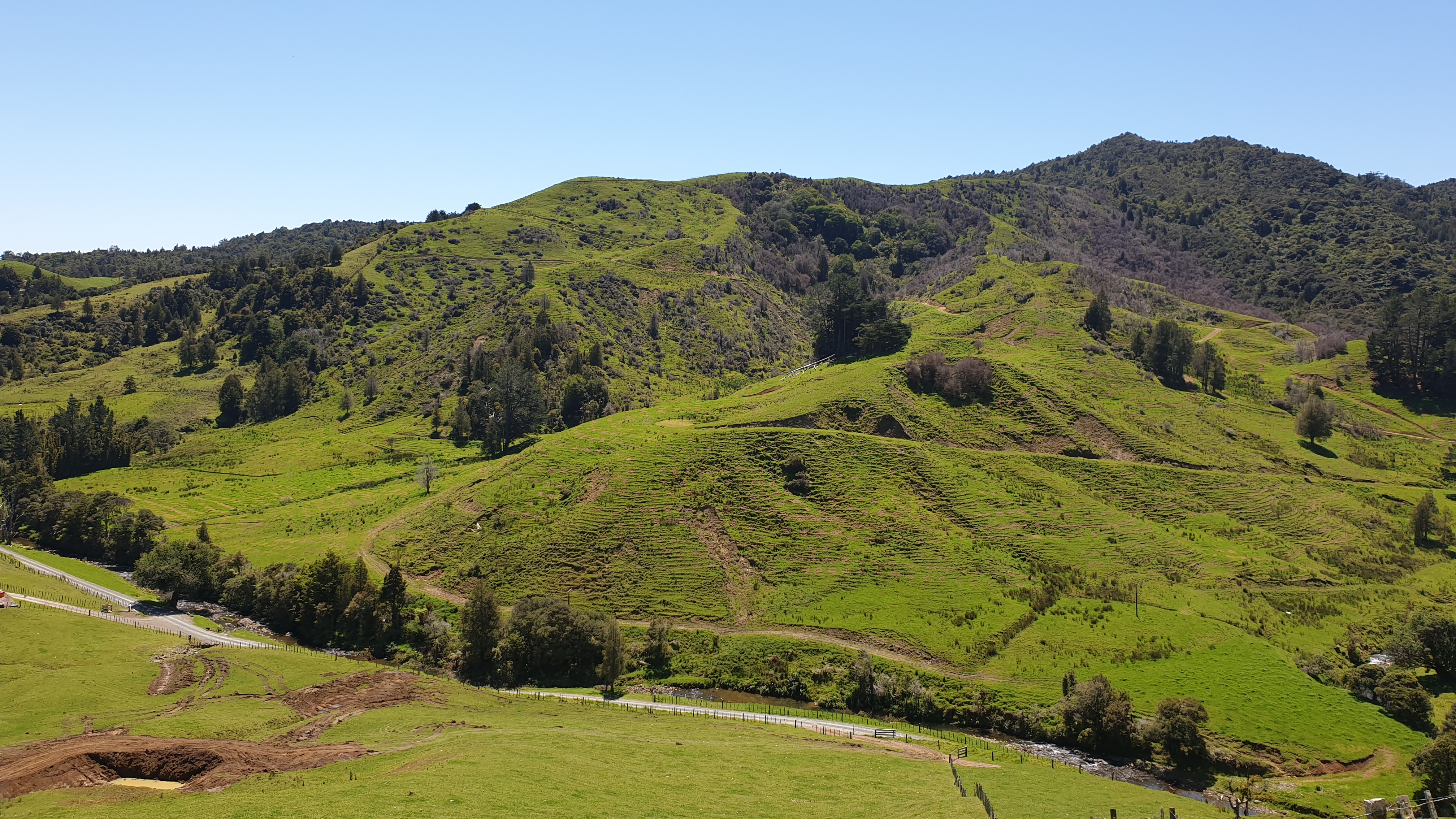
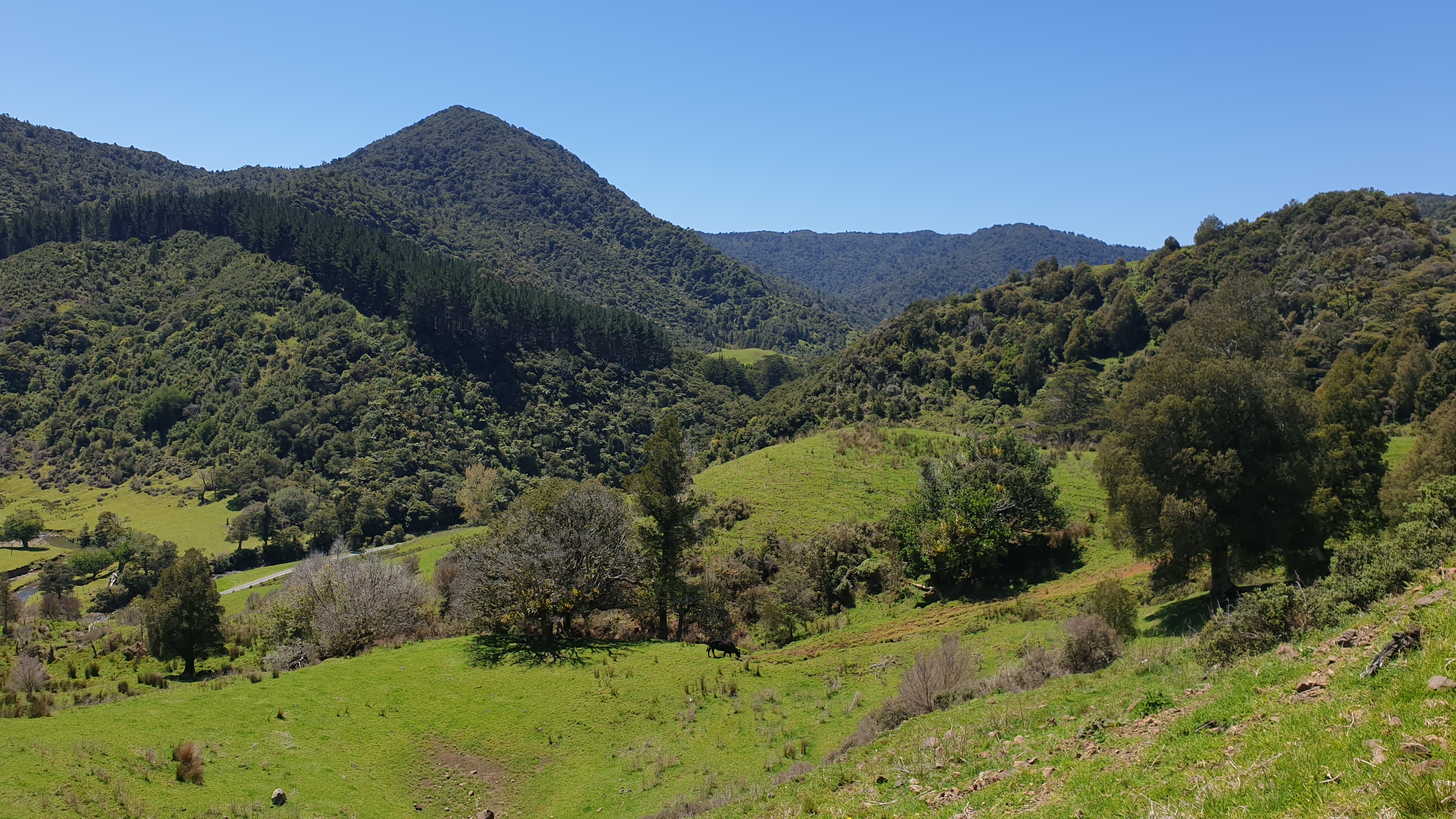
Day 9
Km 11
Cumulative km 135
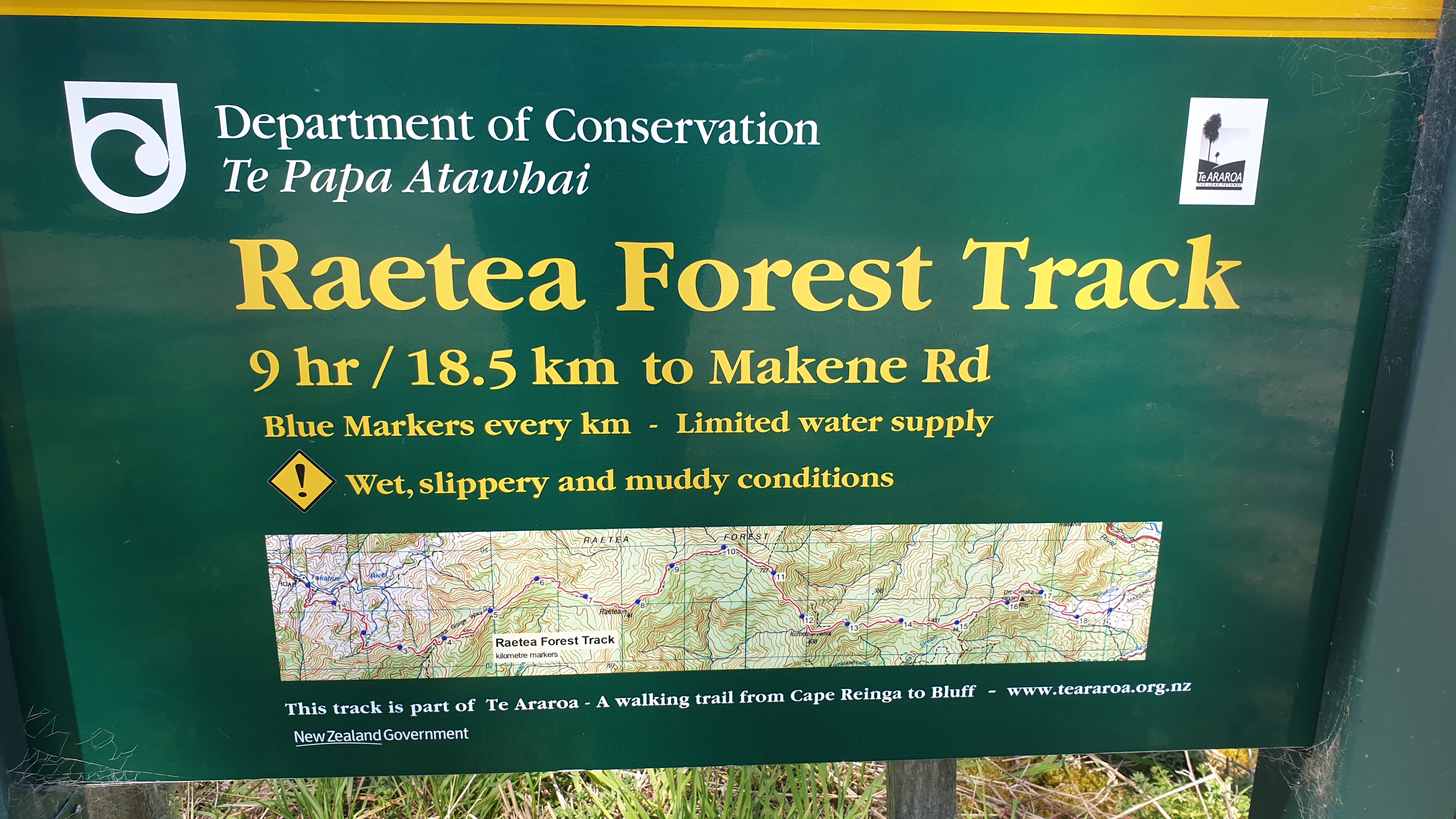
So today marked the start of what was a very tough track- the Raetea Forest. The track is stated to be 18.5km, completed in 9.5 hours. If you do, you are super fit!!
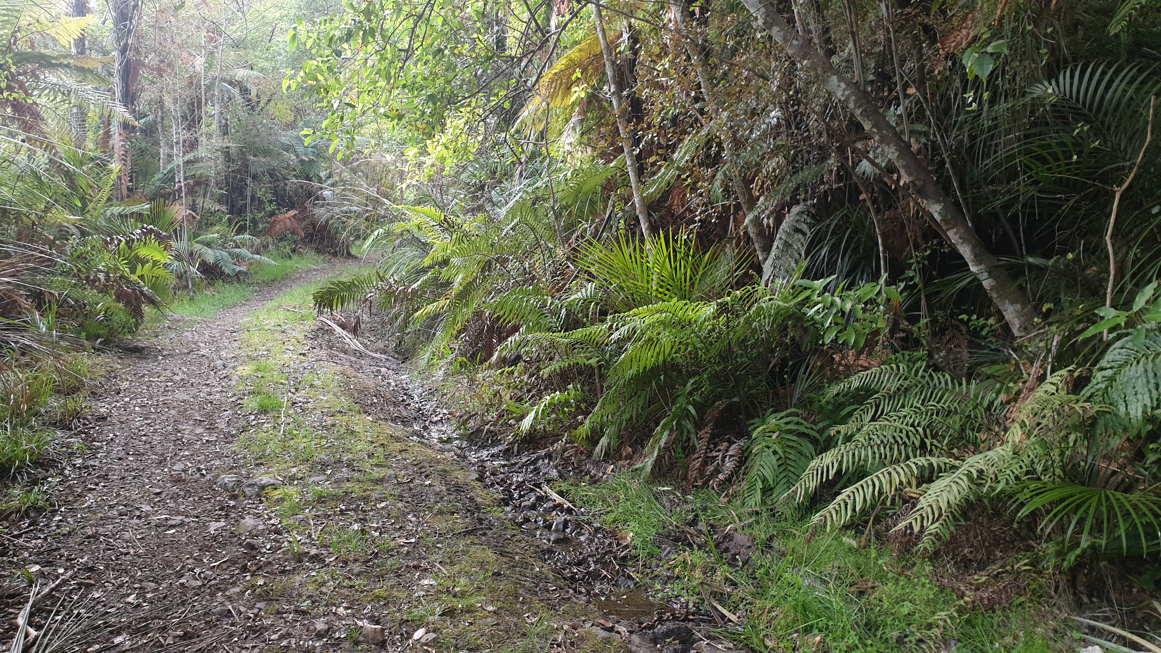
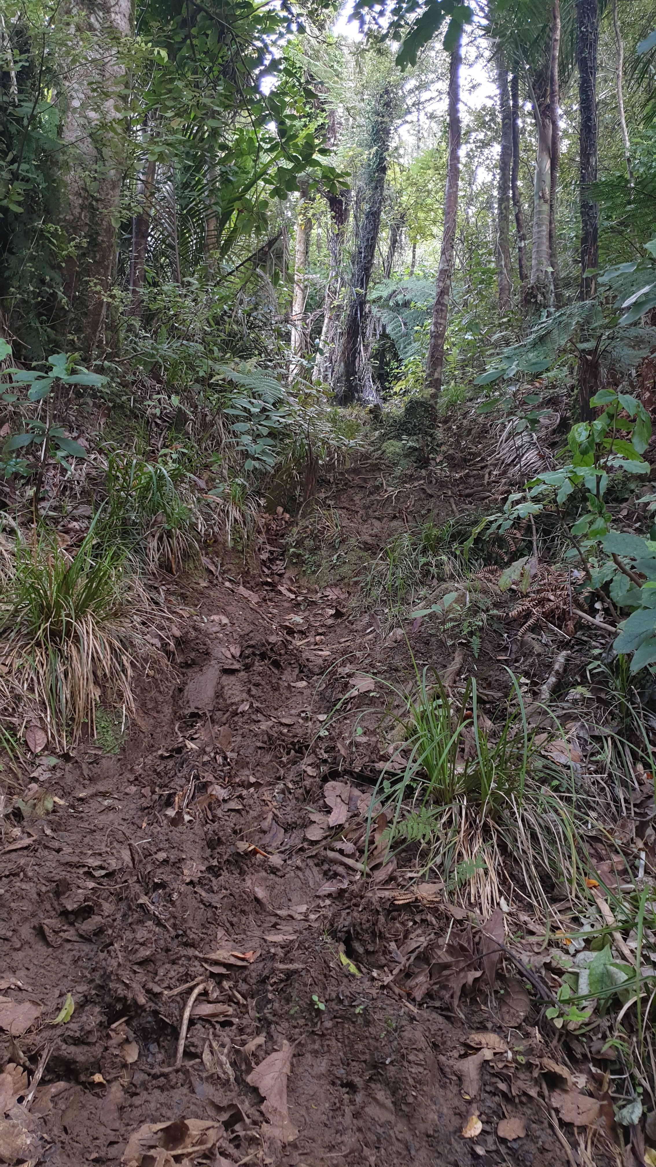
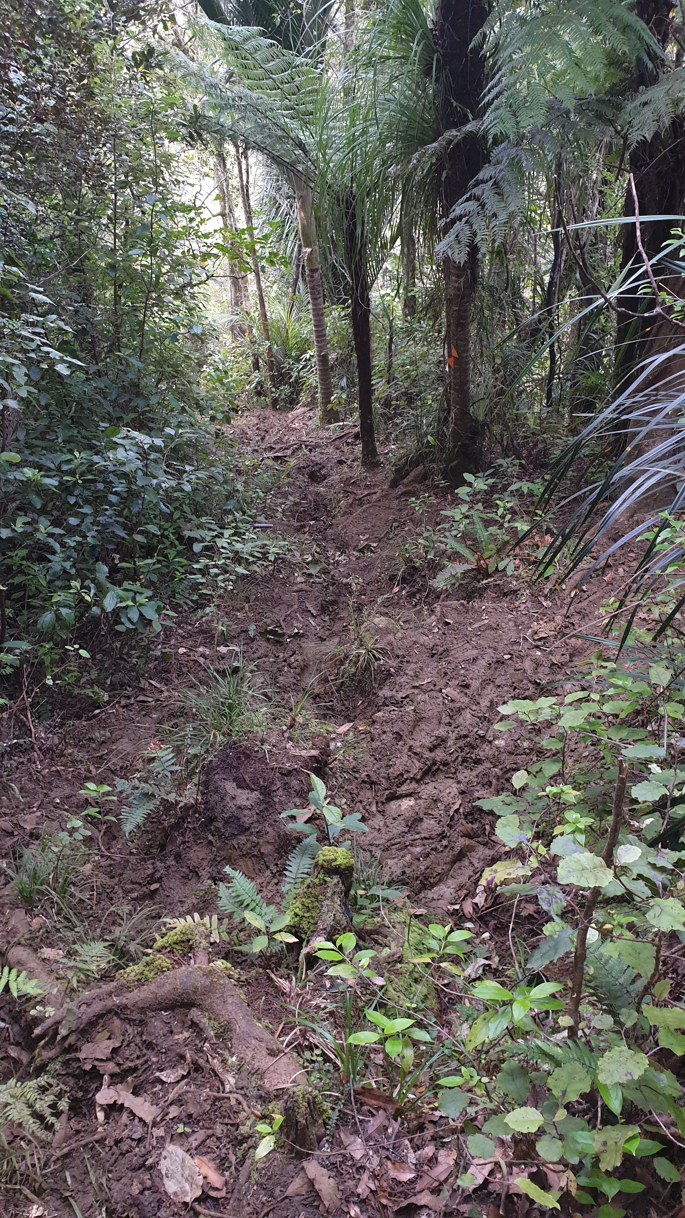
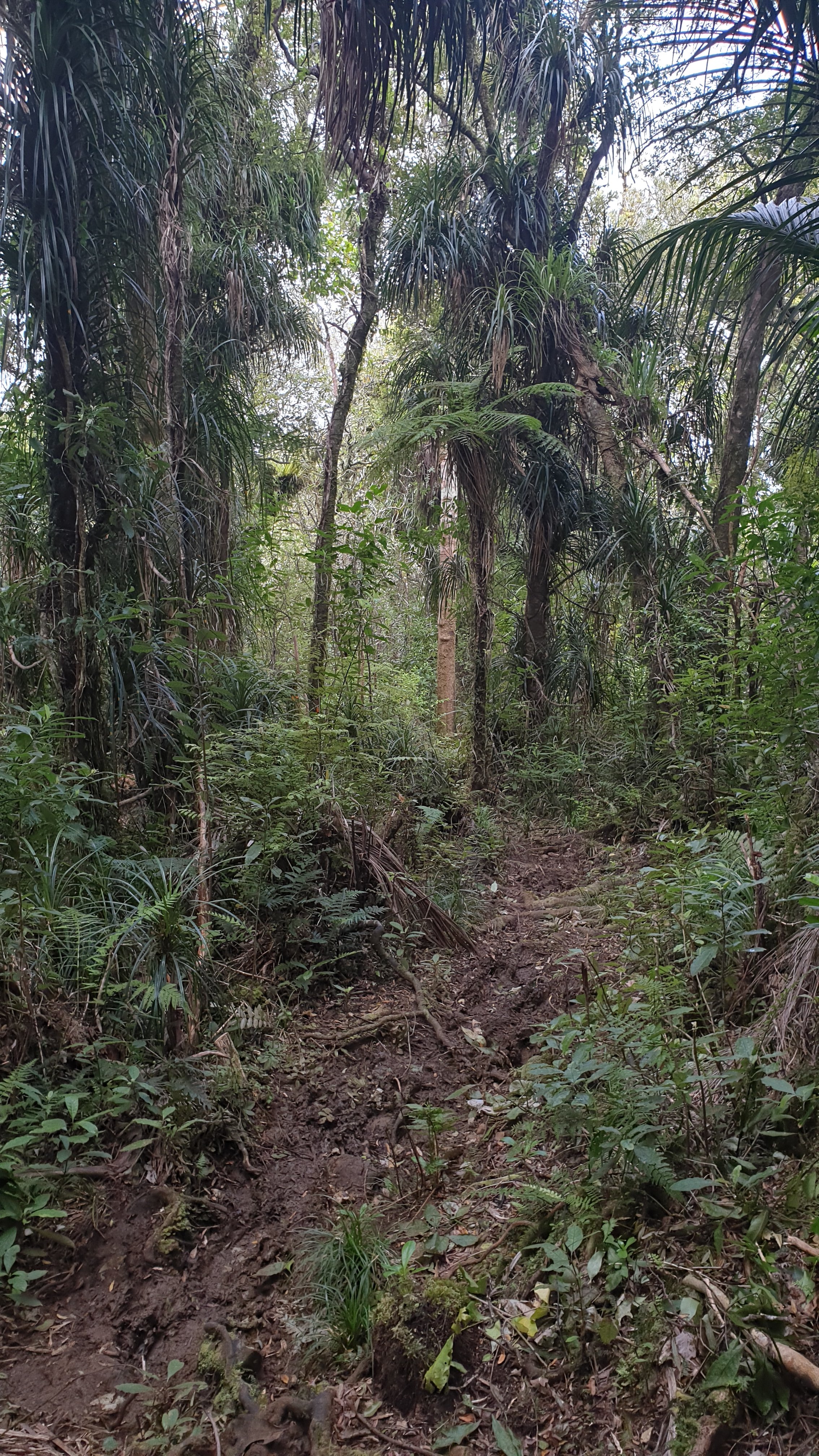
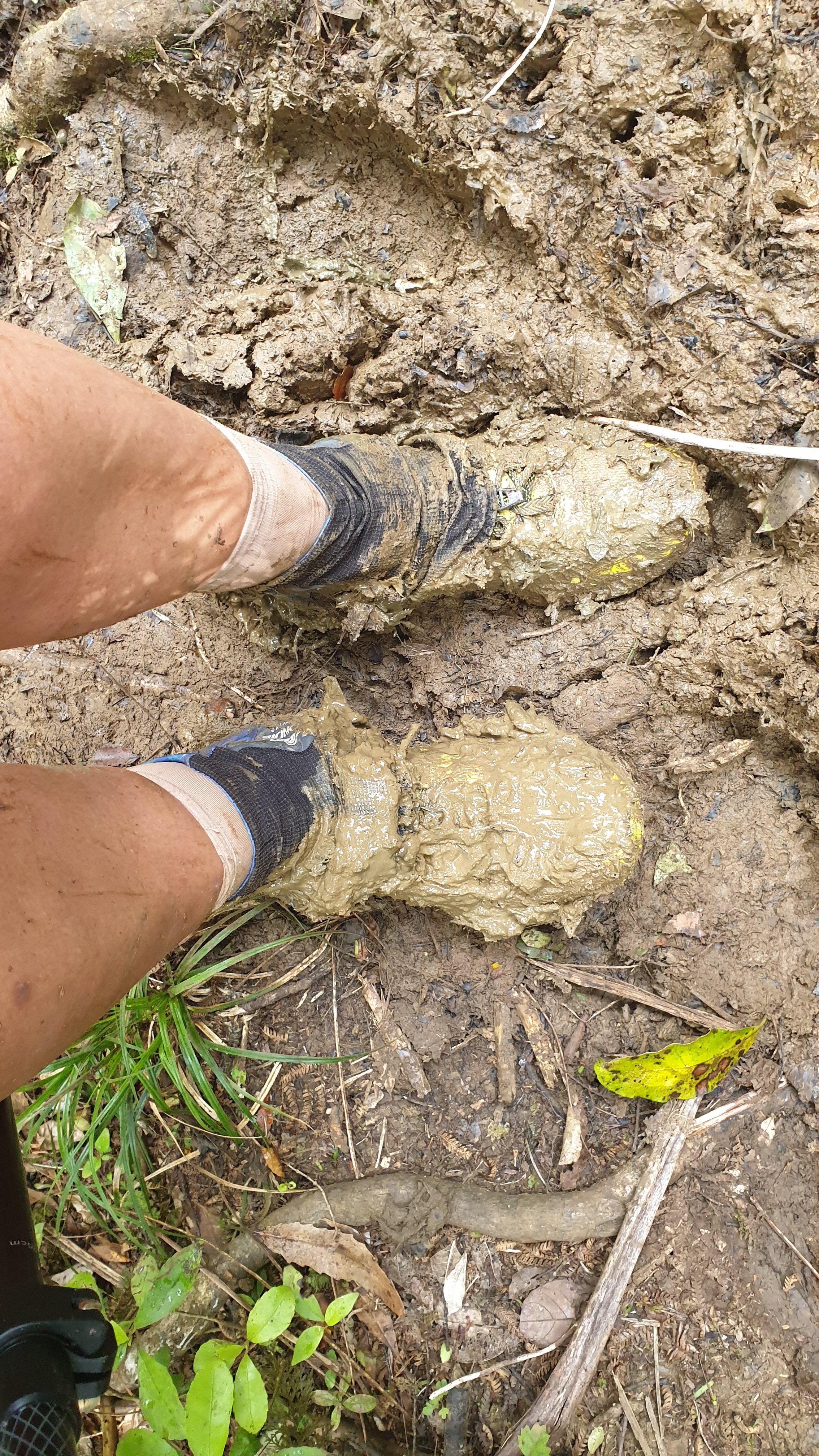
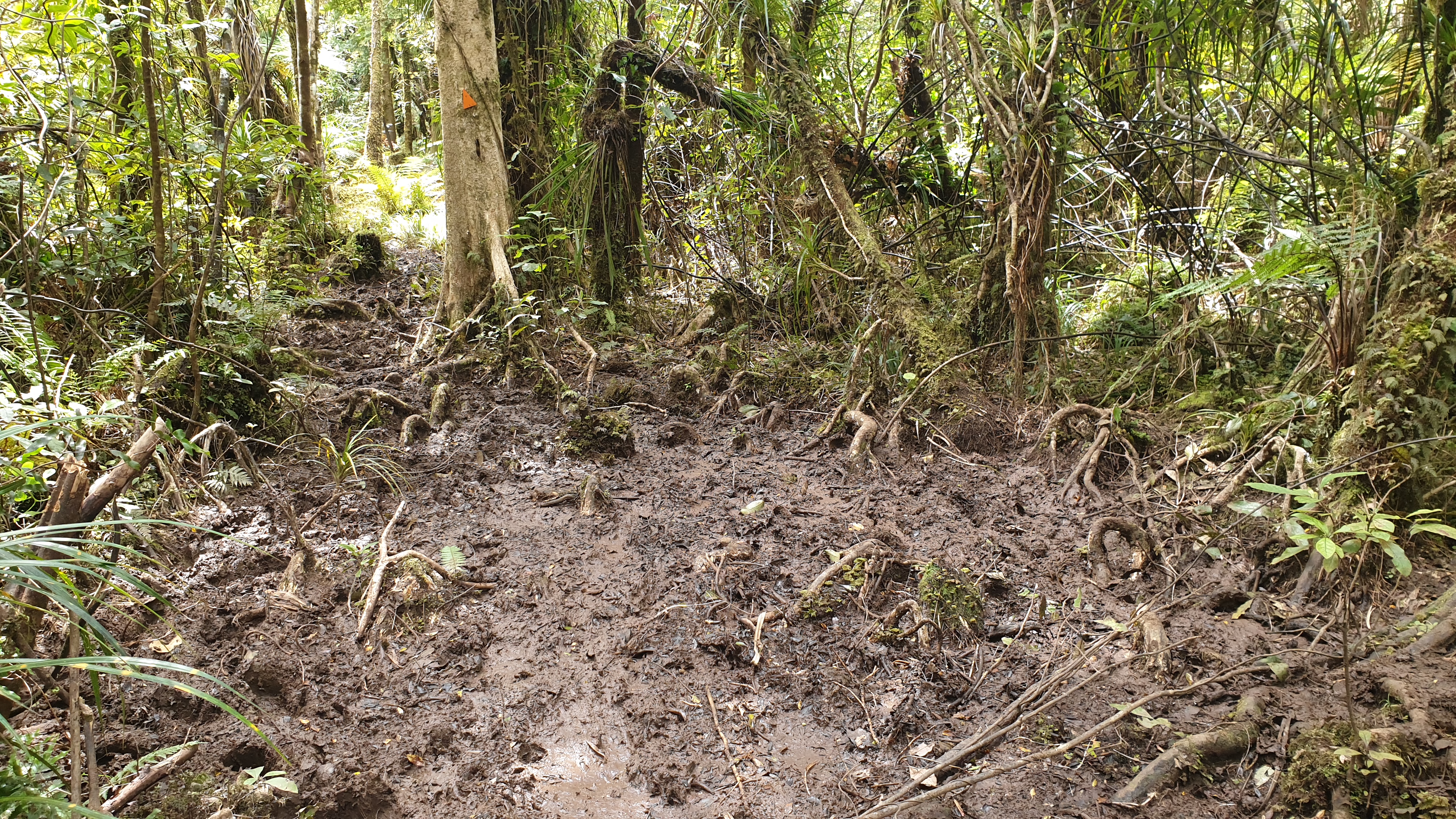
Firstly there isn’t potable water on the trail, an irony considering how extremely muddy it is! So I took 4l with me. The track is very well known for mud, so I was sort of prepared for that. I had heard of some people only progressing ½ km in 1 hour when conditions are unfavourable, so I was happy with my 1.5km/hr progress at the start.
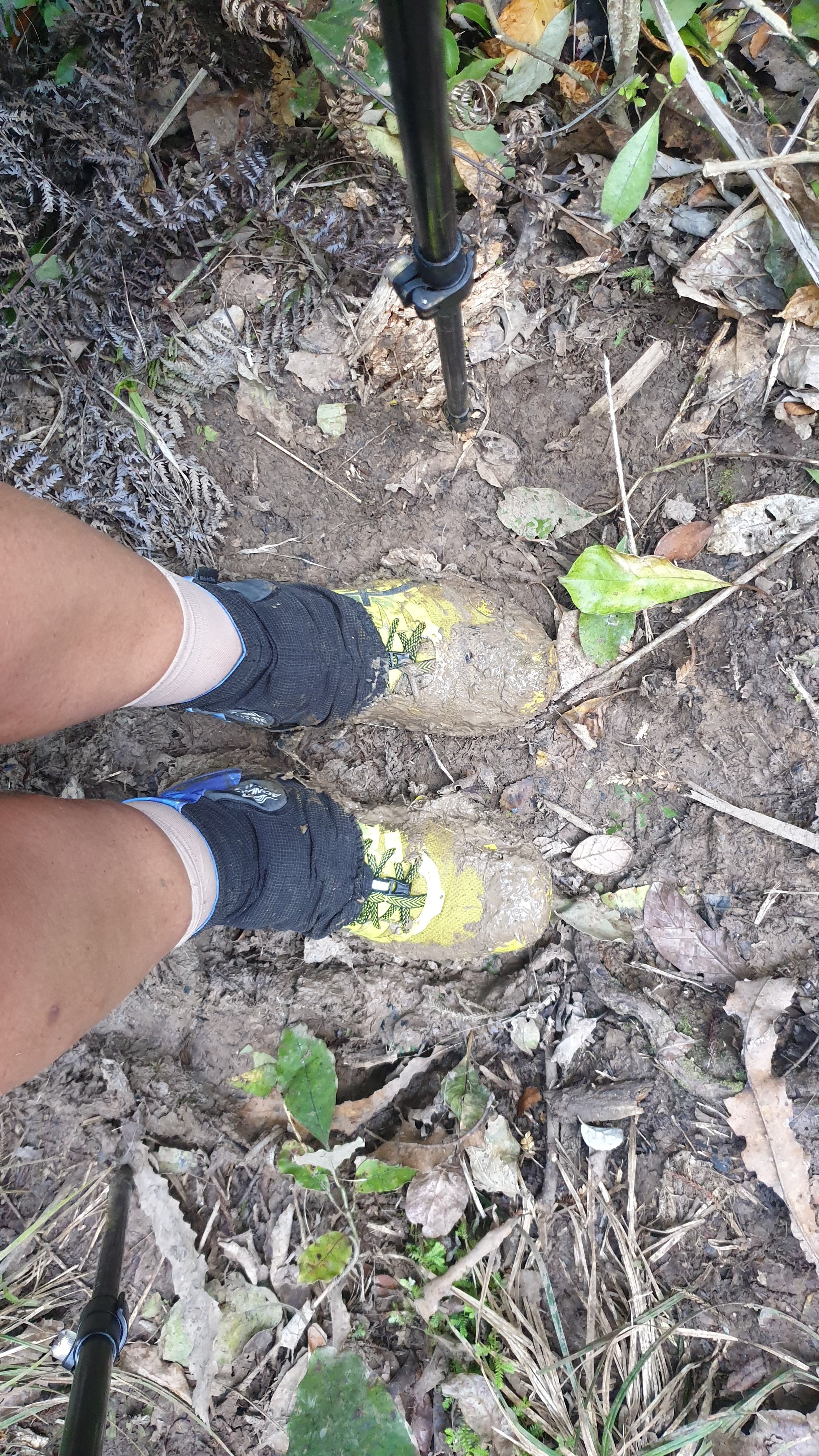
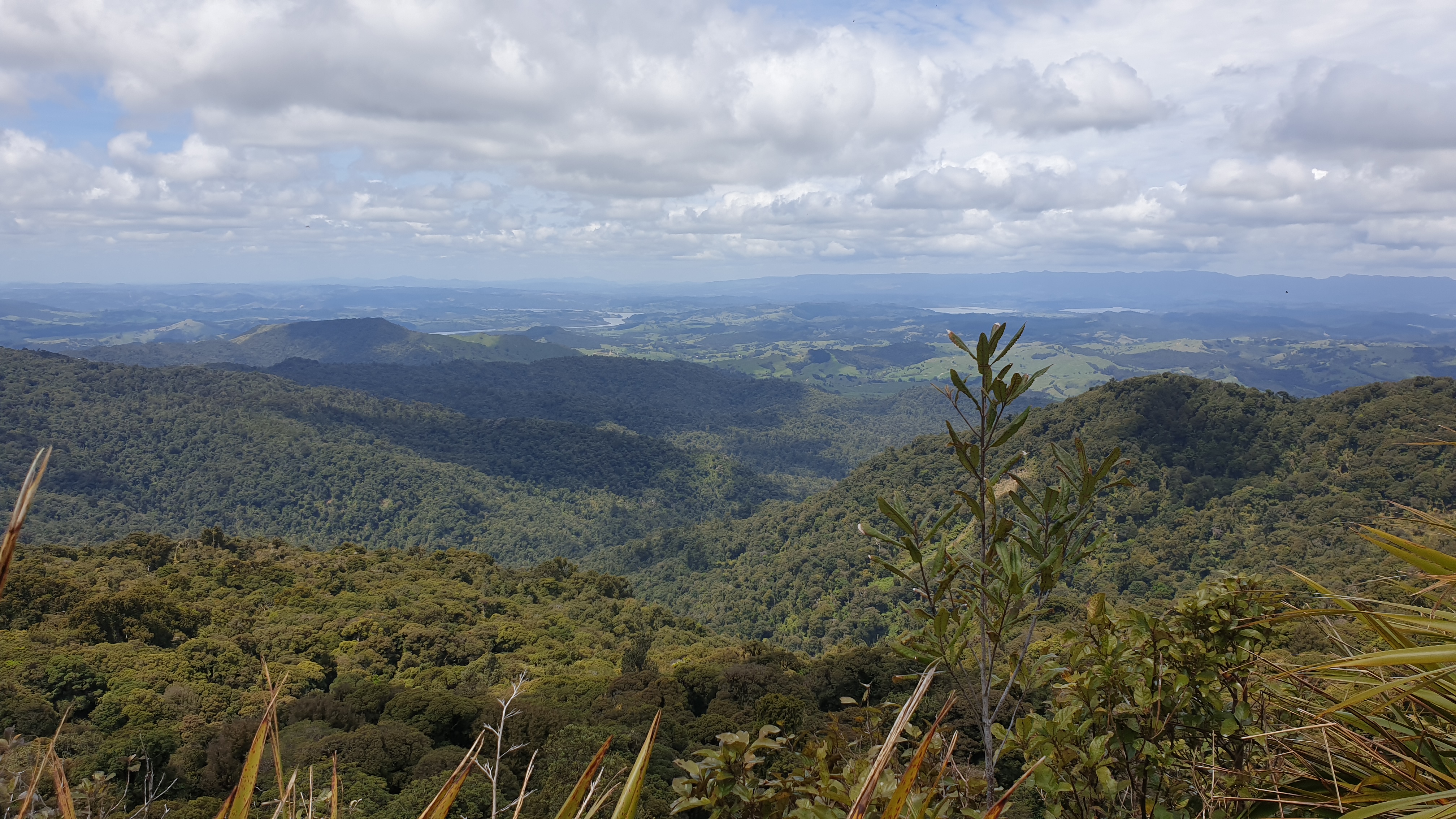
The climb up to the summit (all 733m) especially the last 0.5km was near vertical. You see, switchbacks don’t seem to exist here. It’s all vertically up and vertically down. I was grateful that today the weather was dry, pretty warm, and had been for the last 2 days. Despite this , I still got covered in mud. The downhills were just as
treacherous with the mud and foliage and I slipped and fell 3 3/4 times.
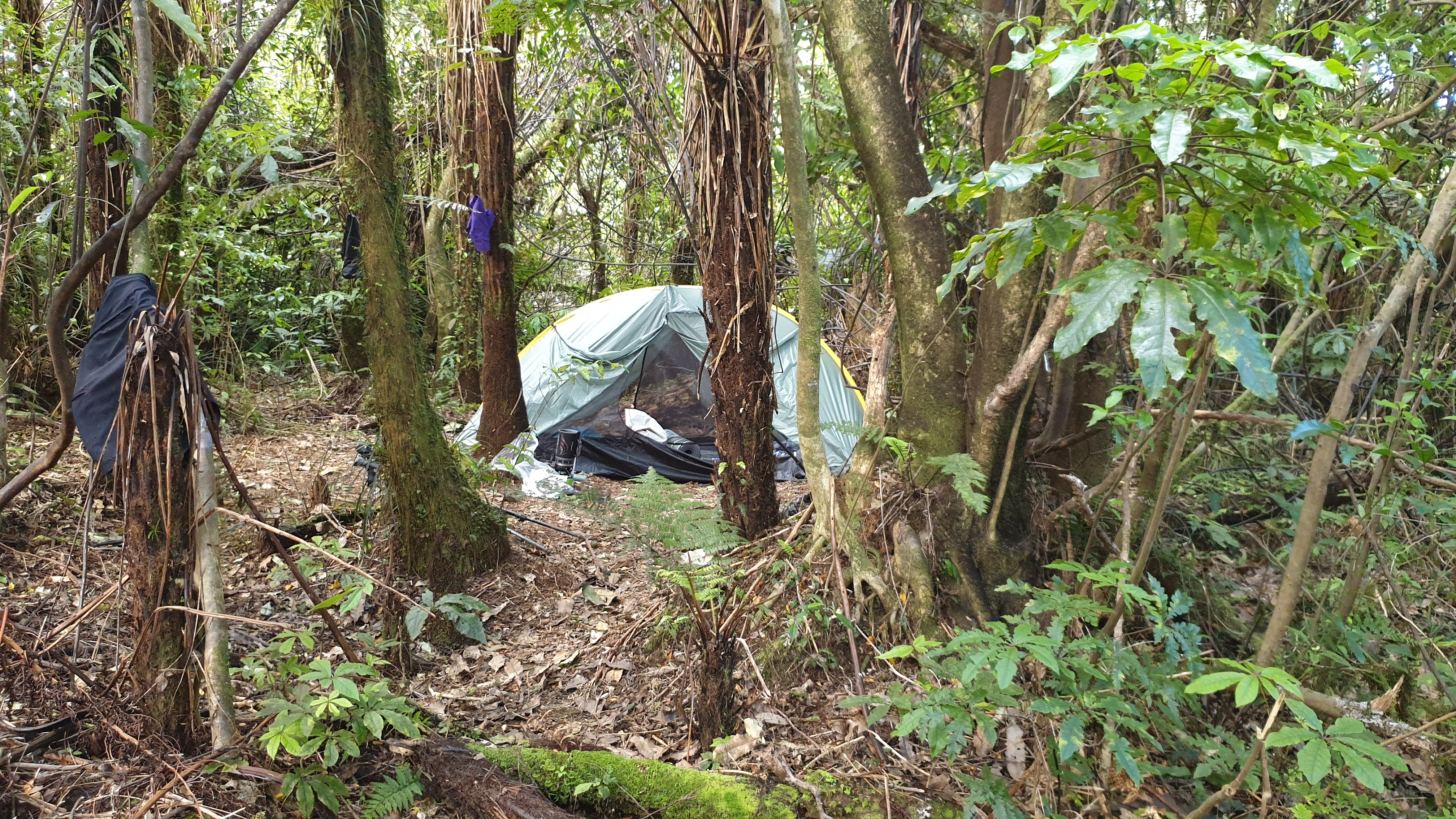
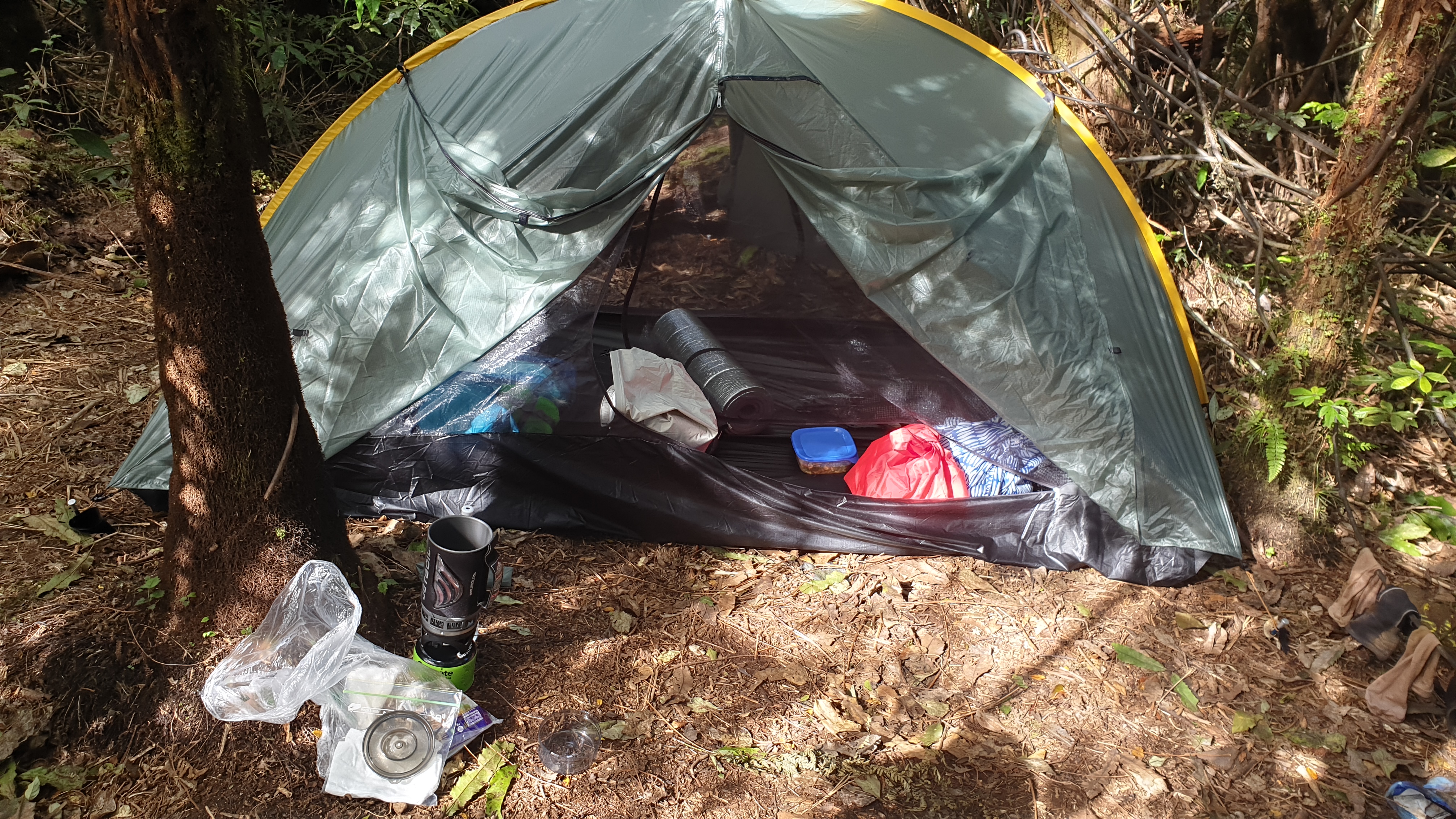
By the time 16h00 rolled around, 8 hours after I started, I decided I had enough and set up camp in the forest. There were 2 small cleanings at 146km of the trail. The only other place to camp would have been at the summit, but that was 3 hours earlier.
Early evening it started to drizzle and carried on through most of the night. Great way to create more mud!!
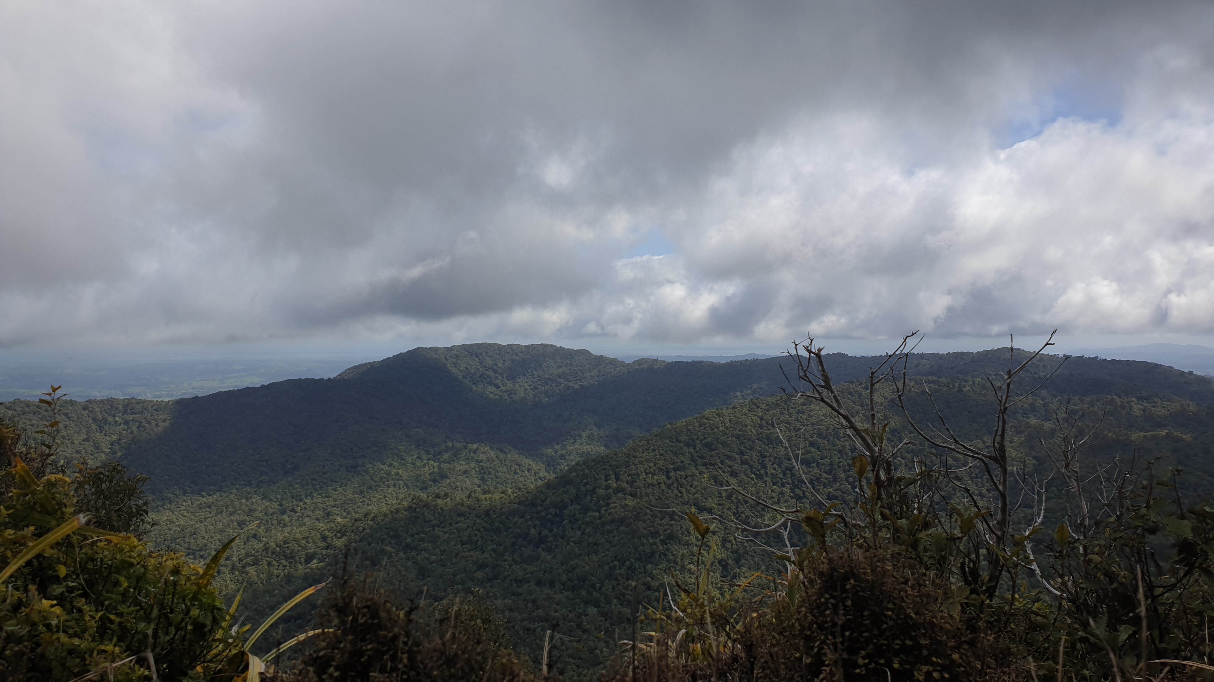
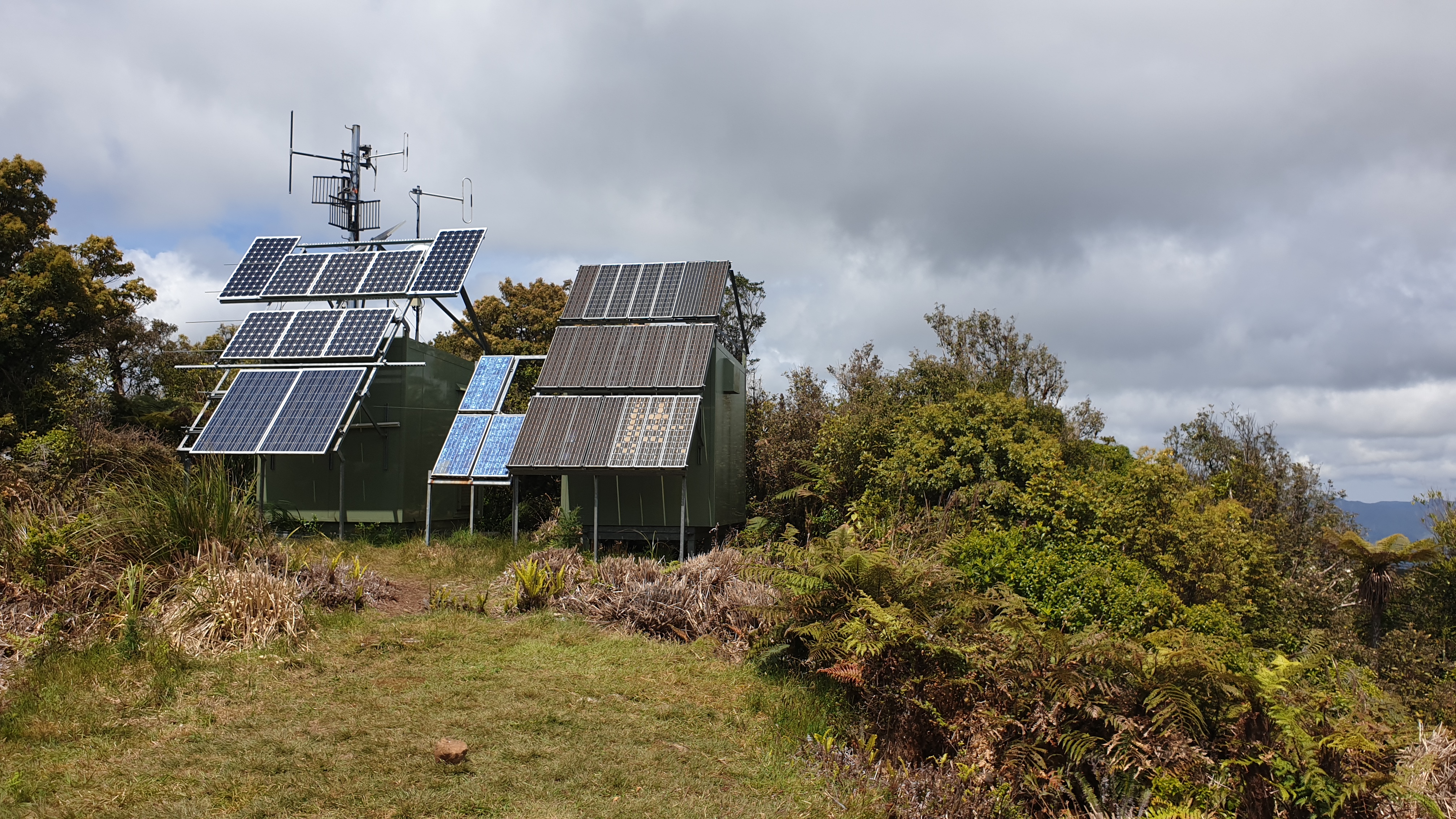
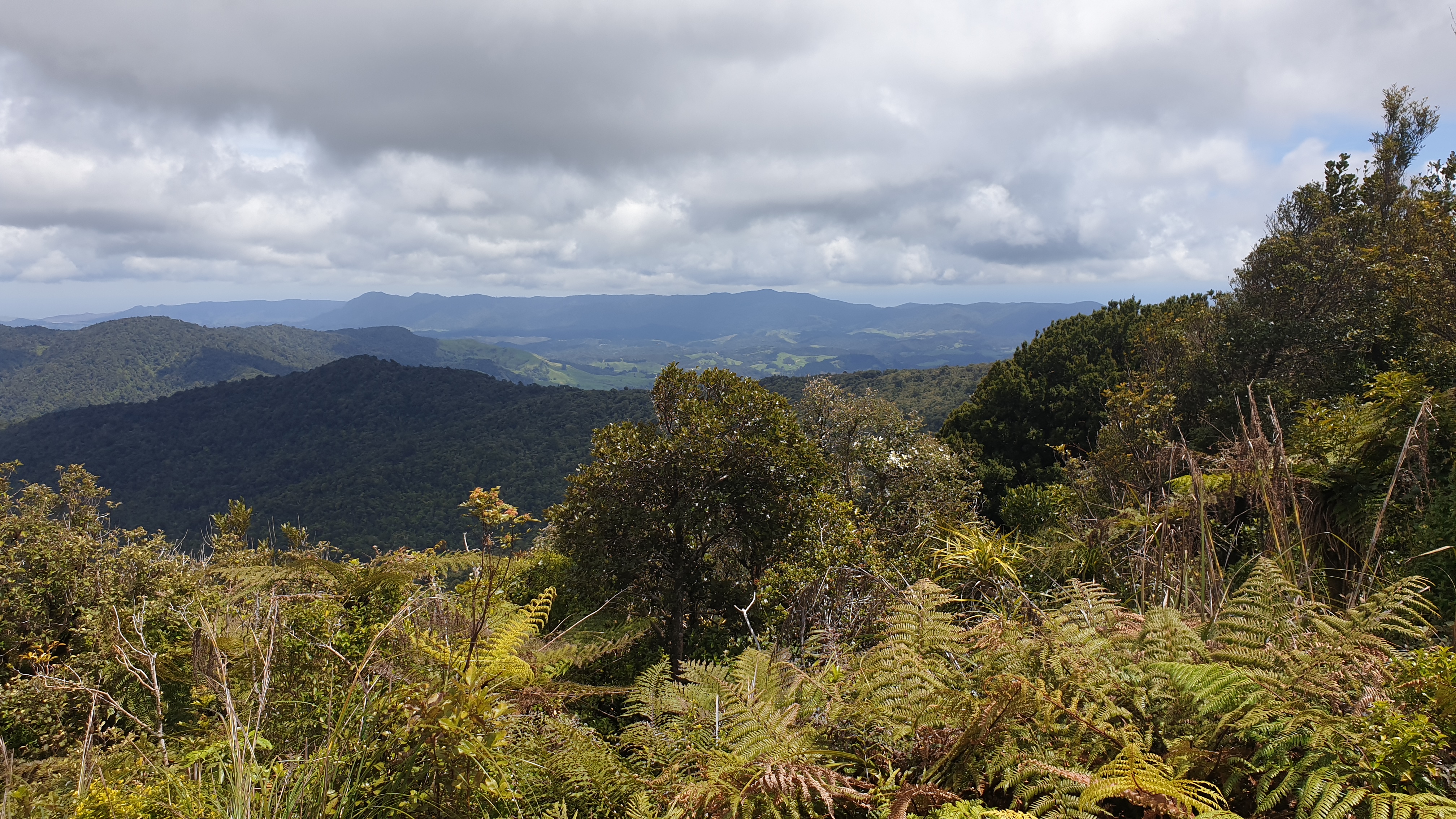
Day 10
Km 13
Cumulative km 148
For the first time, I had to pack up camp in the drizzle, not great. Just 25m down the track I was into my first mud. The gaps between mud baths can be measured in seconds- it is just never ending! The mud was even more slurpy and runny than yesterday and so it was quickly that I got into mud that went half way up my calf. The mud also suctions your shoes in place and thus you need to twist to pull free.
Most of the descent was to be done today. Again, very steep and so slippery with the clay / mud combo. I landed on my arse twice.
My quads were feeling the burn with the constant breaking on the down hill, even though I have walking poles.
I finished the last 6km of forest in 3.5 hours- so I’m glad that I didn’t try and complete it yesterday!
The trail finishes in the driveway of a farm that has like 10 dogs that are leashed but barking wildly and trying to get off their chains. It’s a bit scary.
There is a nice campsite with toilet, river and even wash line and picnic table. I stopped by here to give my legs , feet and especially shoes and socks a good rinse.
It was then a road walk along SH 1 to get to Mangamuka. I stayed in a super basic, by donation, room that the dairy owner has. This gave me an opportunity to grab good lunch and dinner from the dairy and dry my tent and other gear.
I must say that my muscles are taking less time to recover and the pain is lessening. I did discover why my big toe hurts- I had a blister under the nail! I have been using the heel lock shoe lacing technique the last couple of days and that seems to take quiet a bit of pressure off the toes.
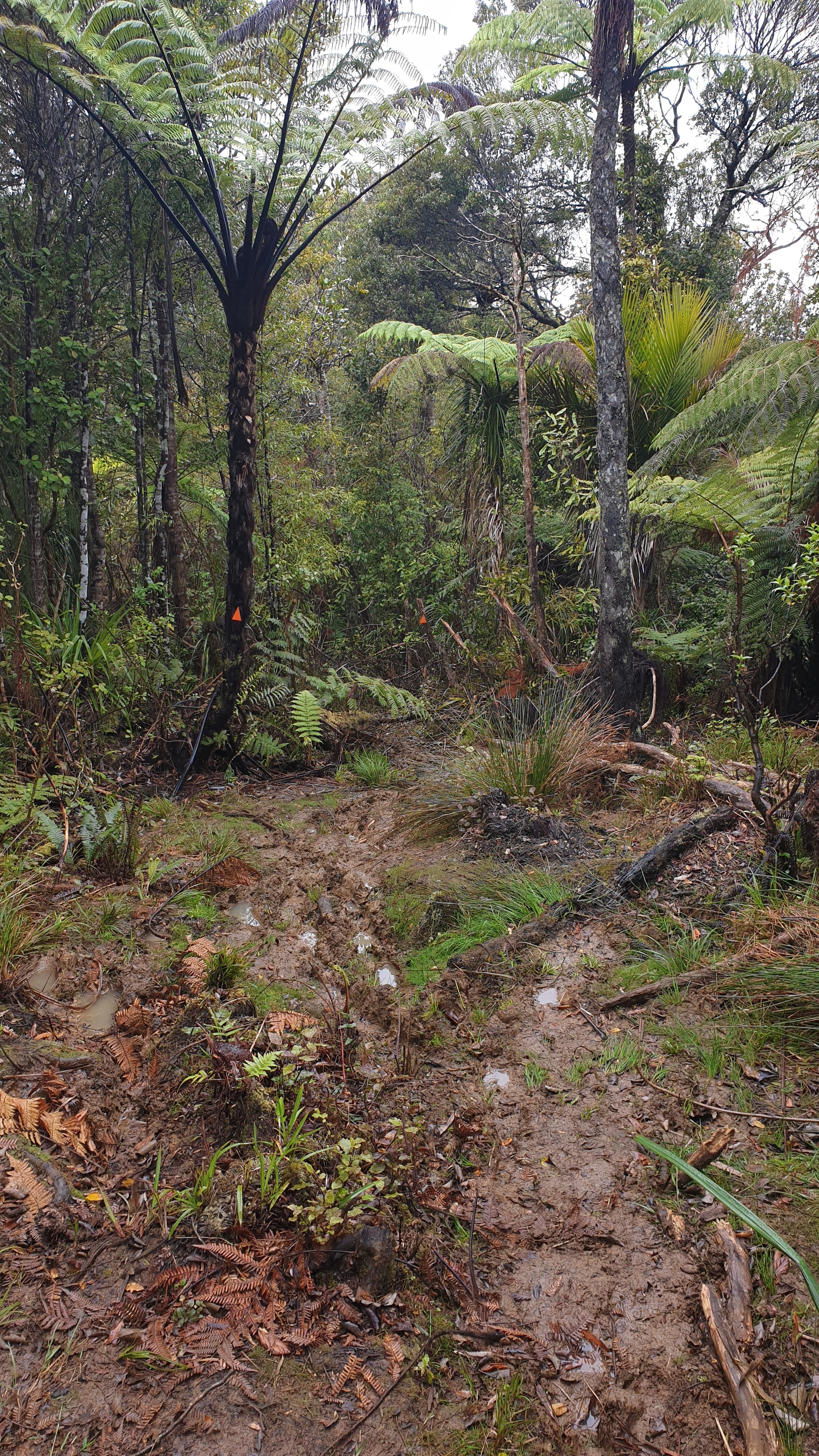
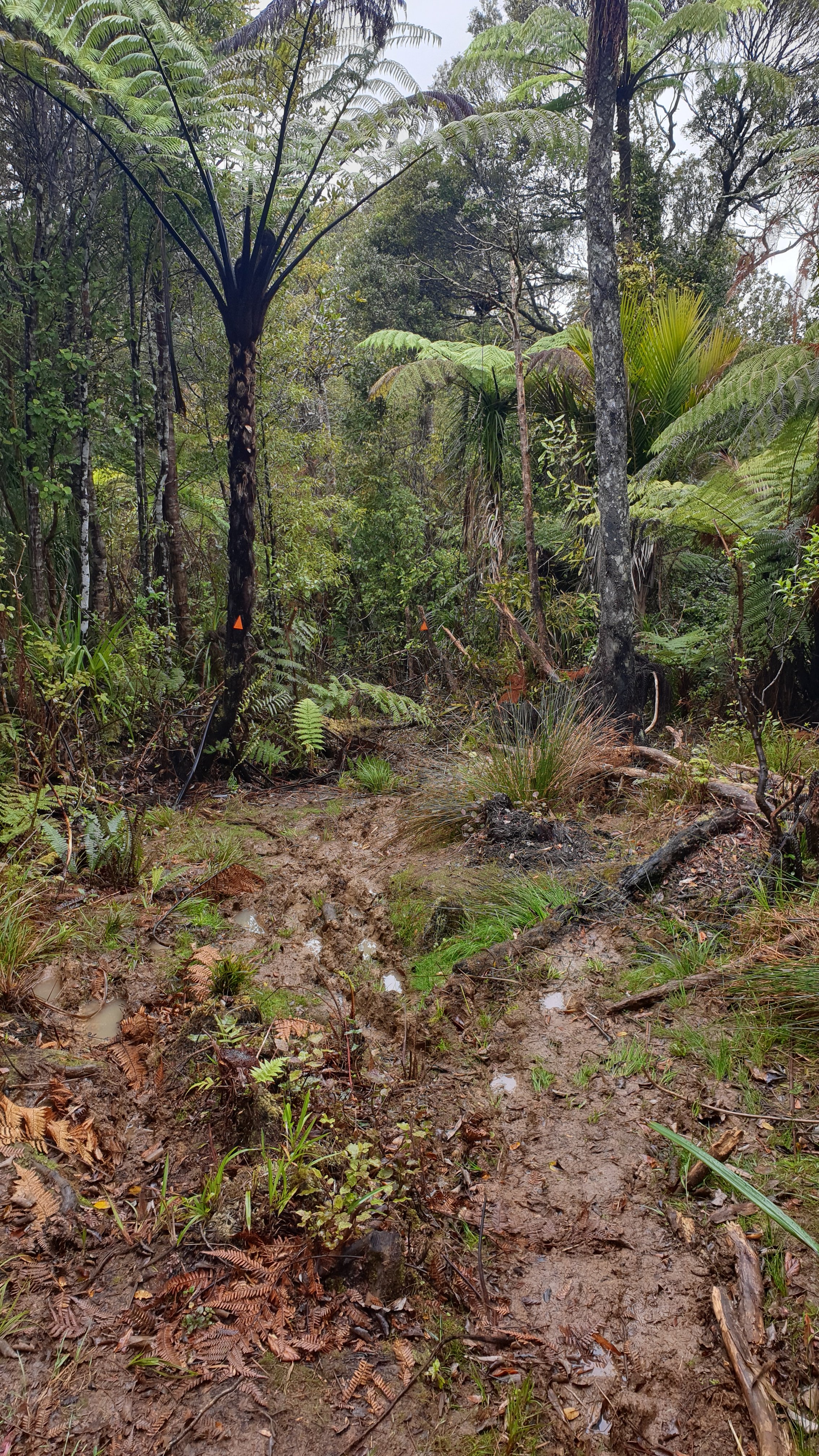
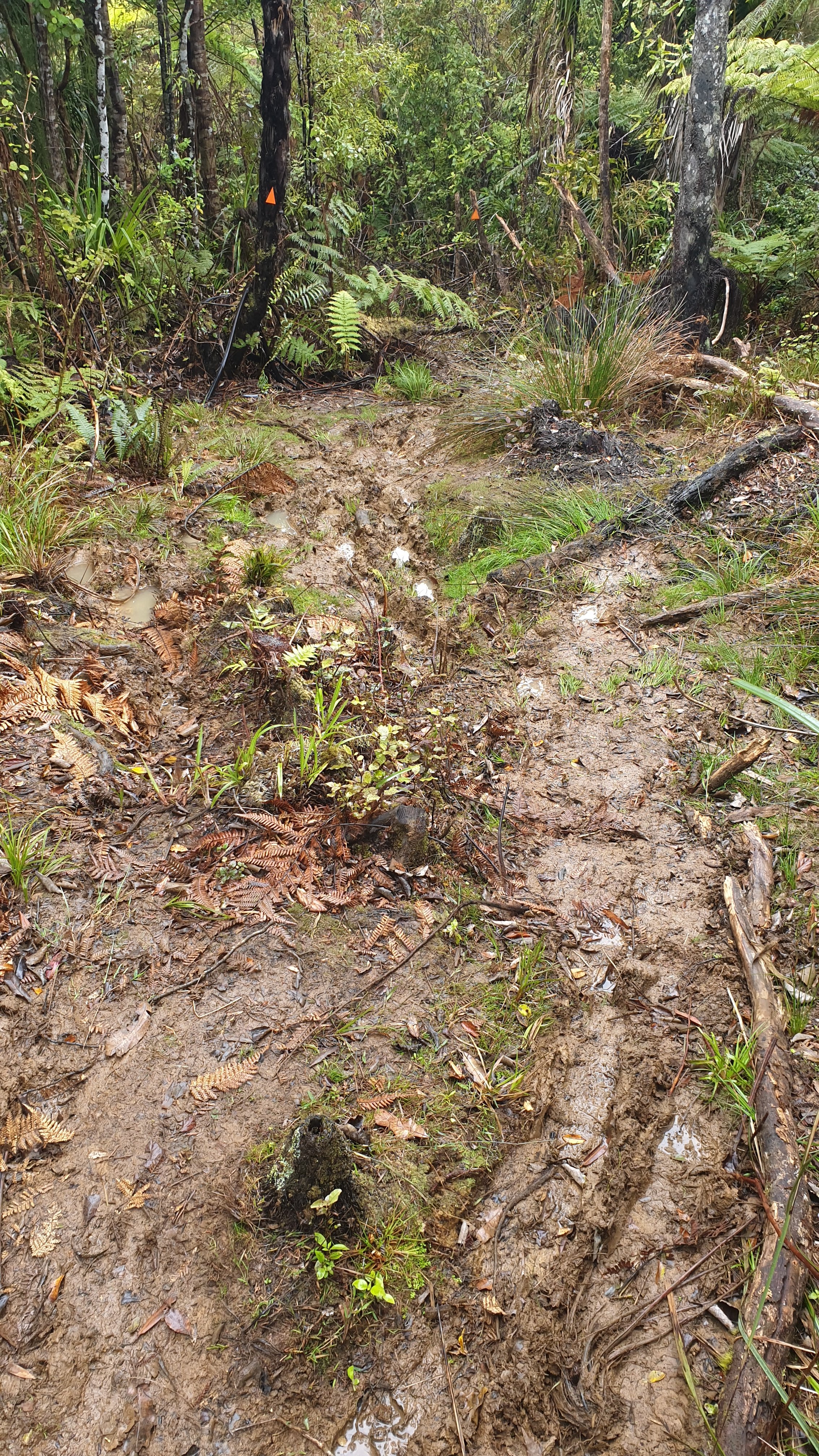
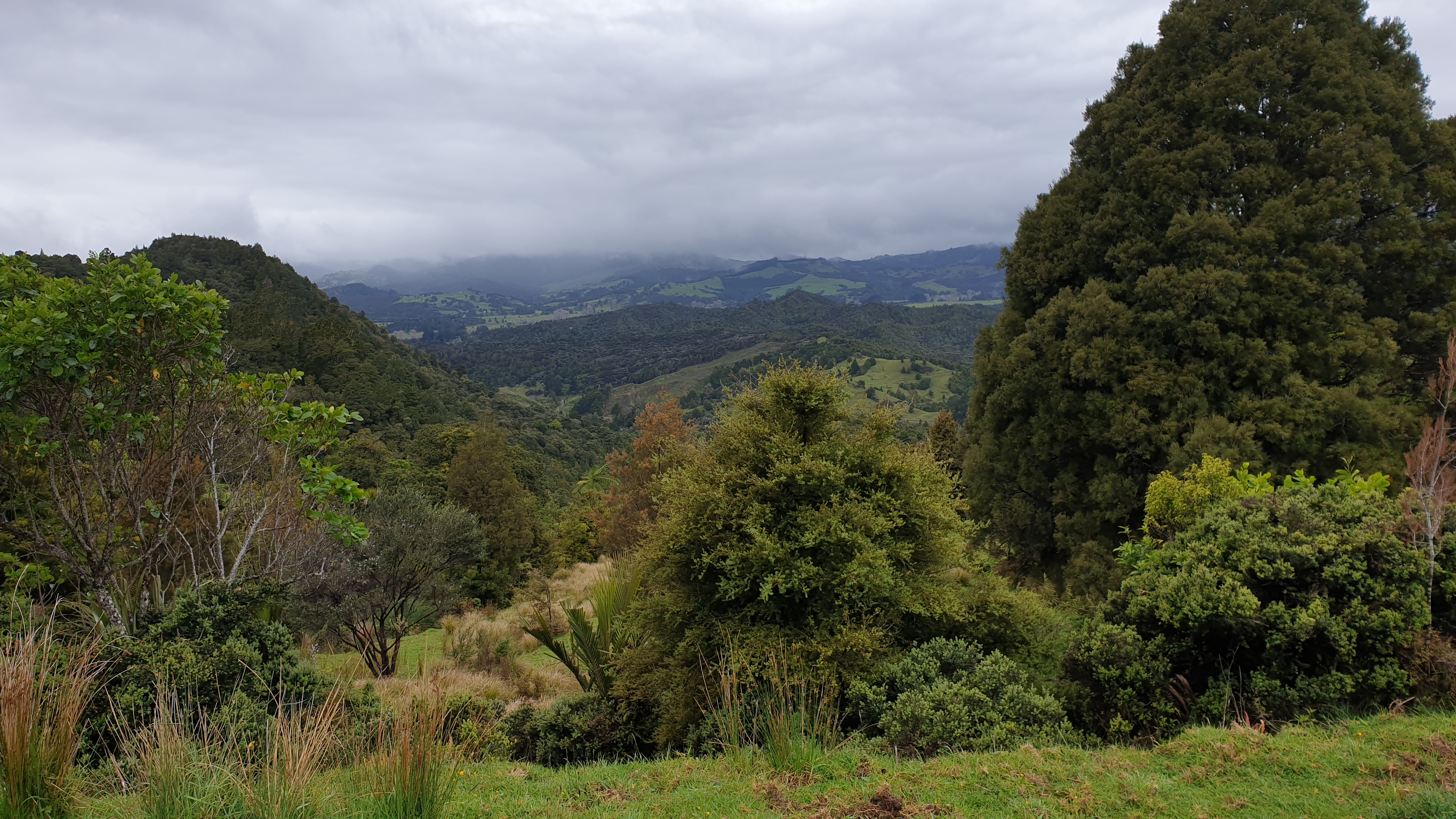
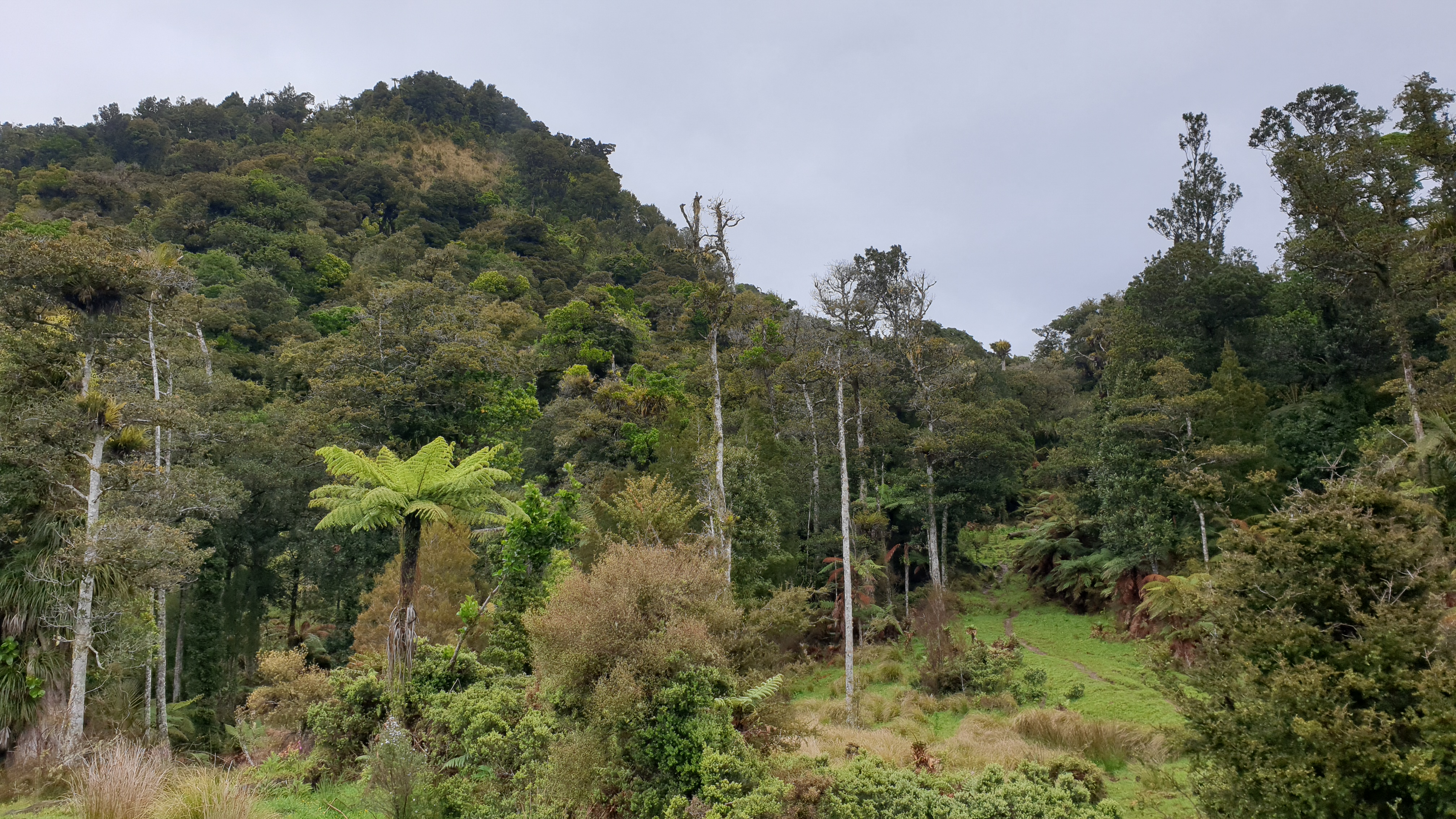
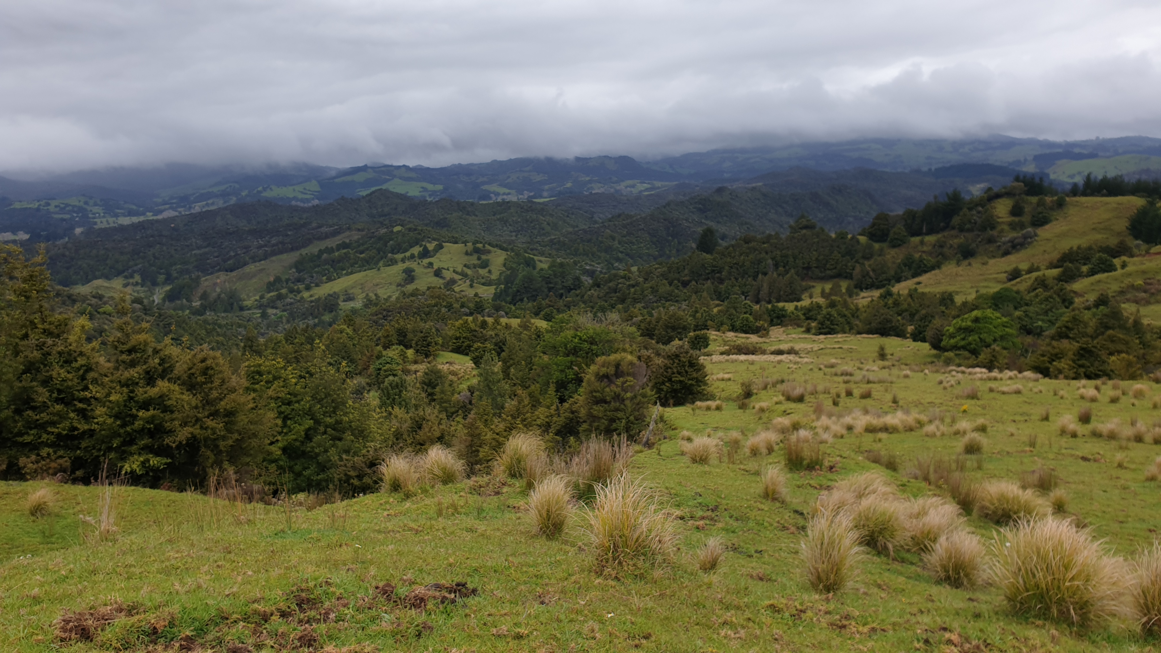
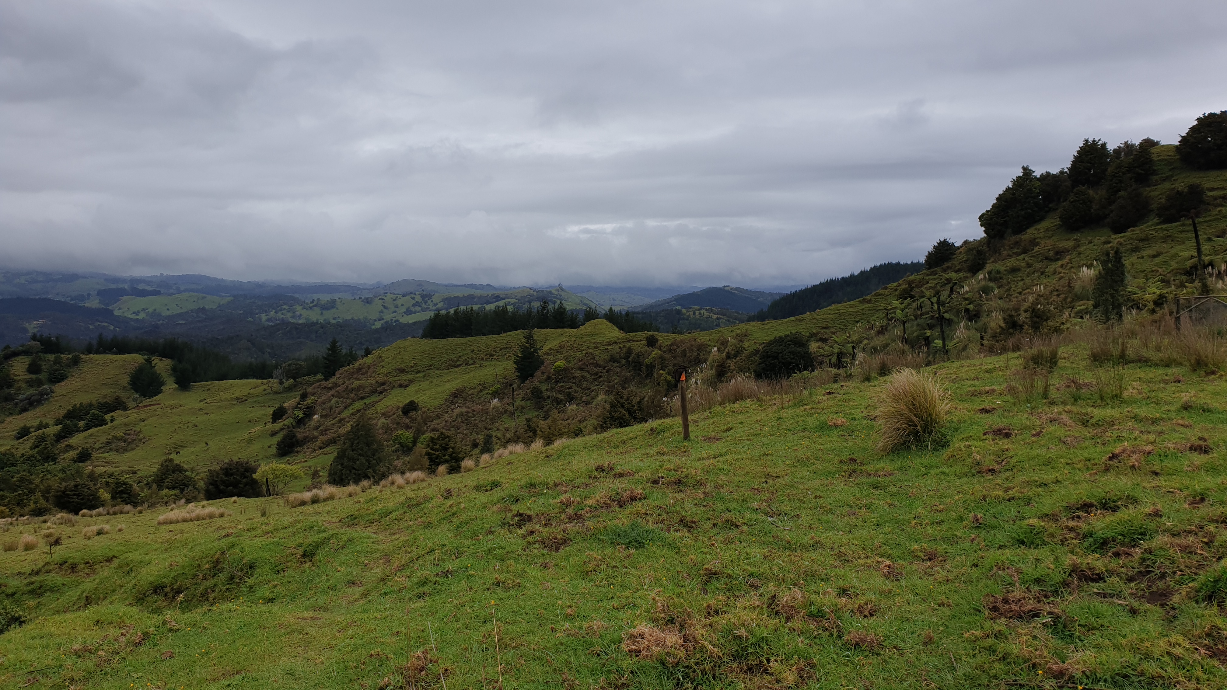
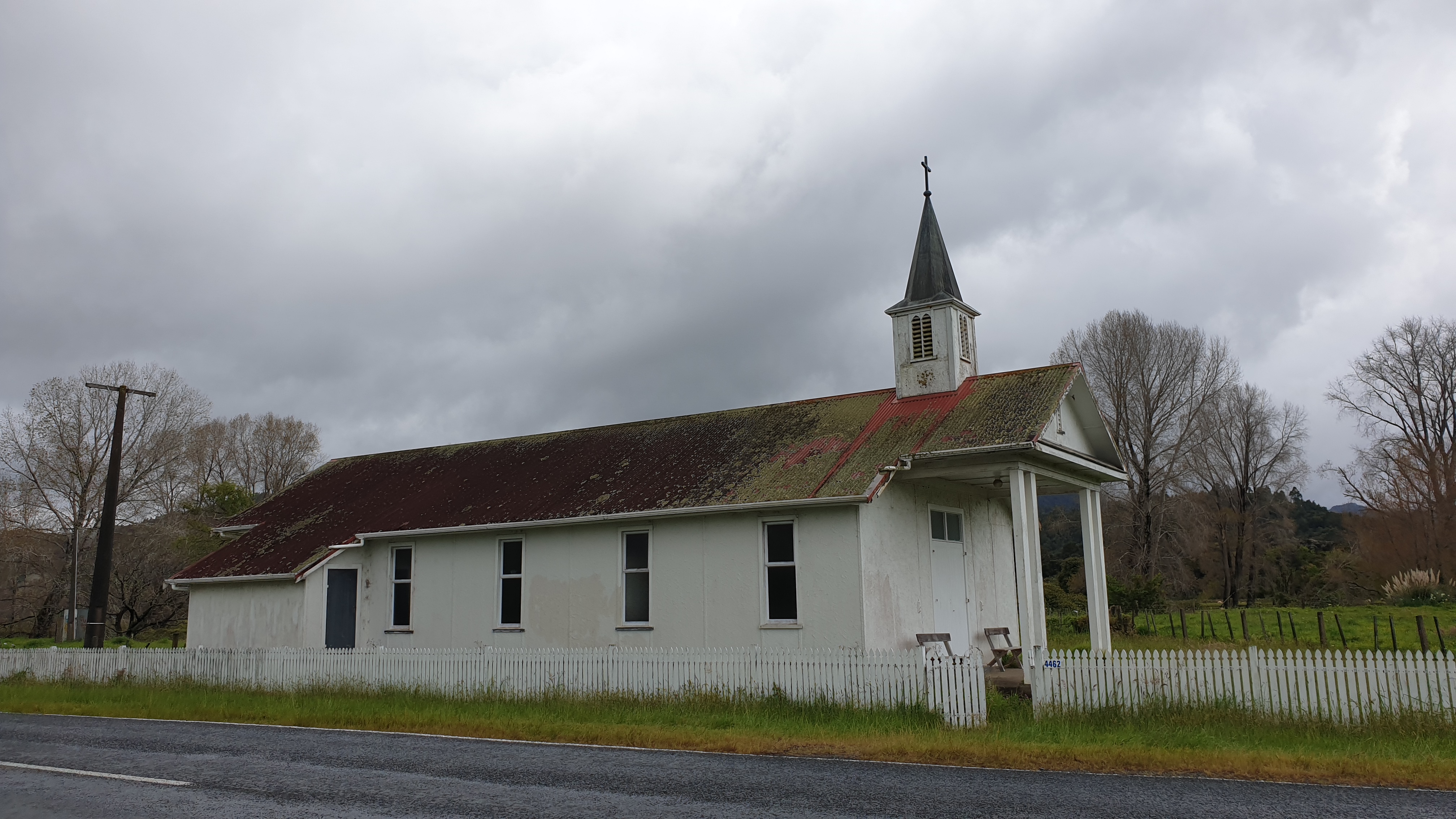
Day 11
Km 13.6
Cumulative km 161.6
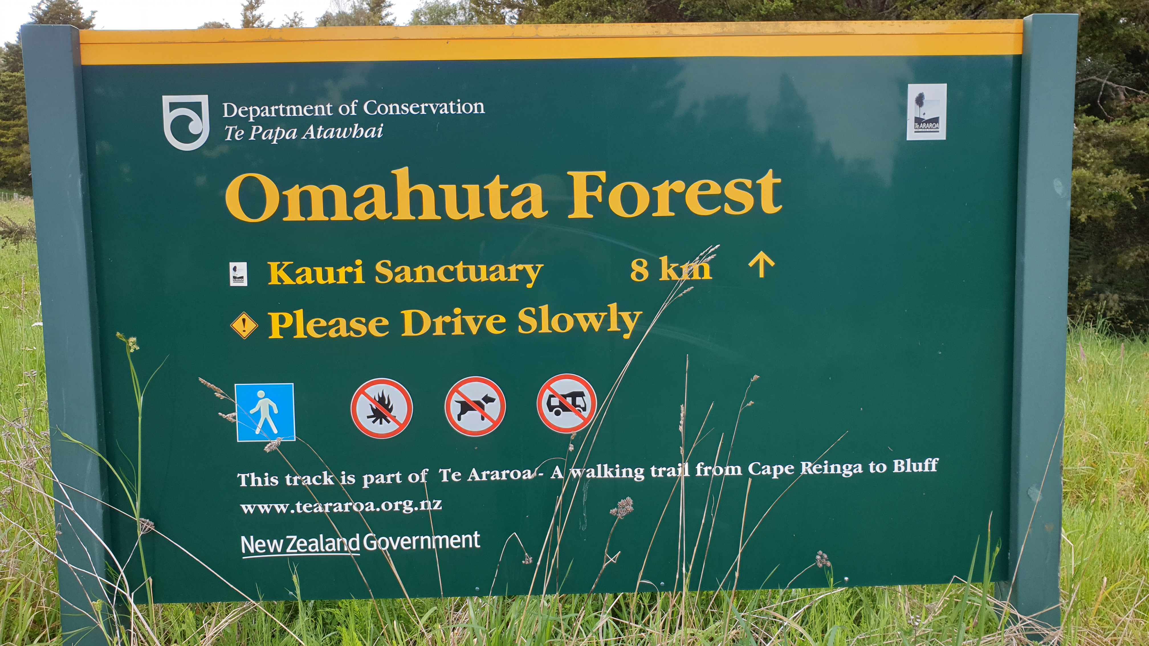
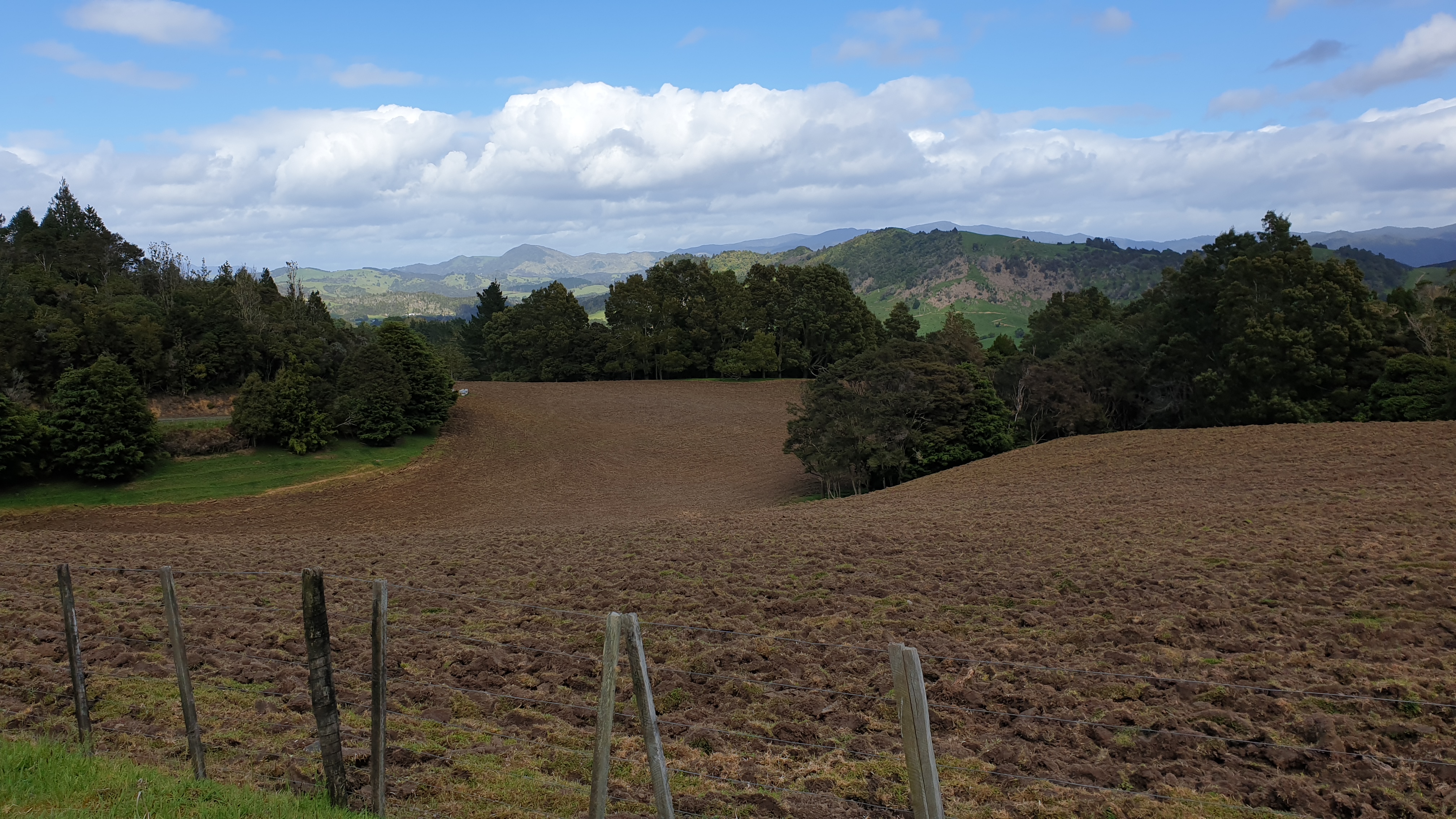
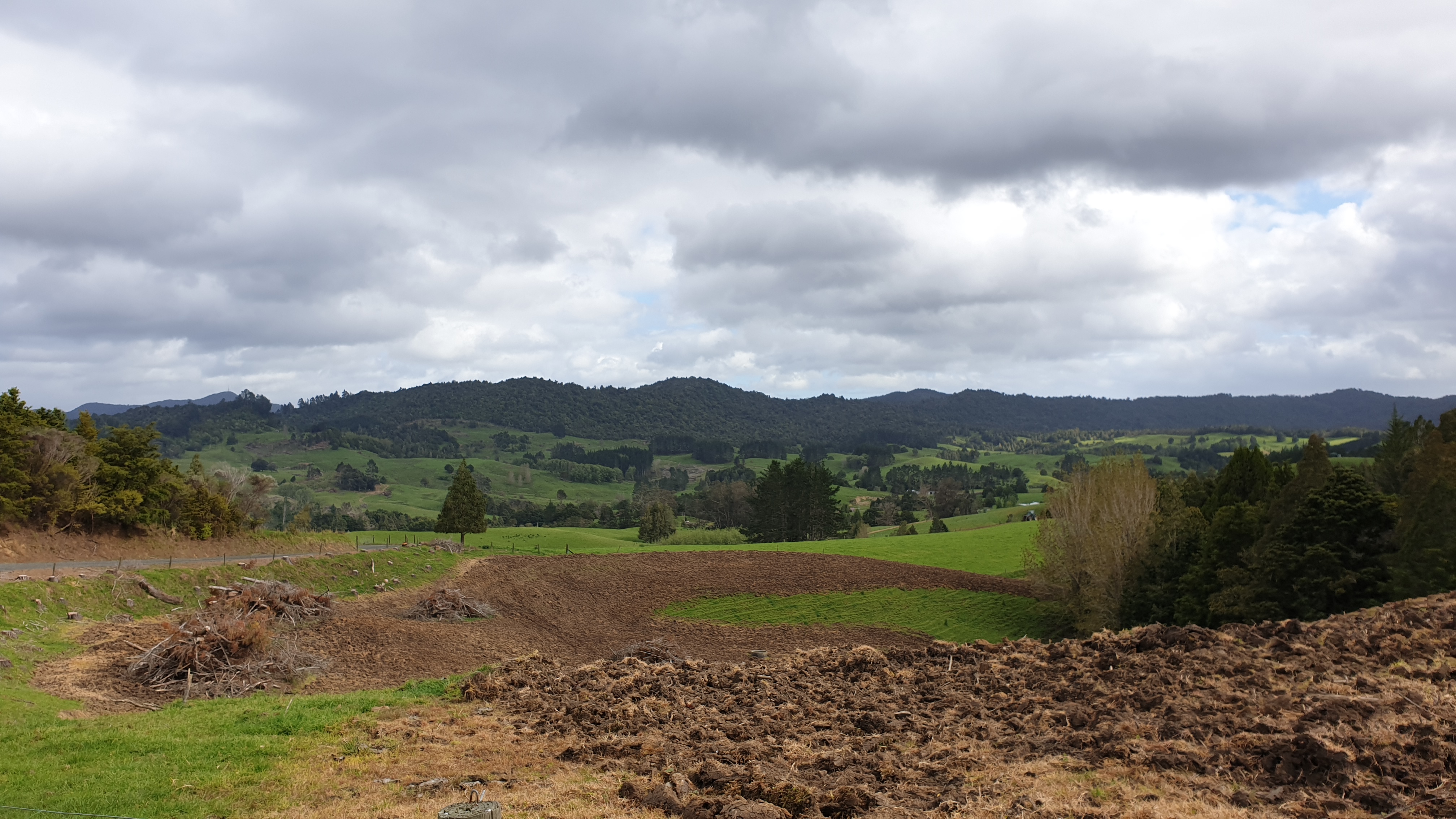
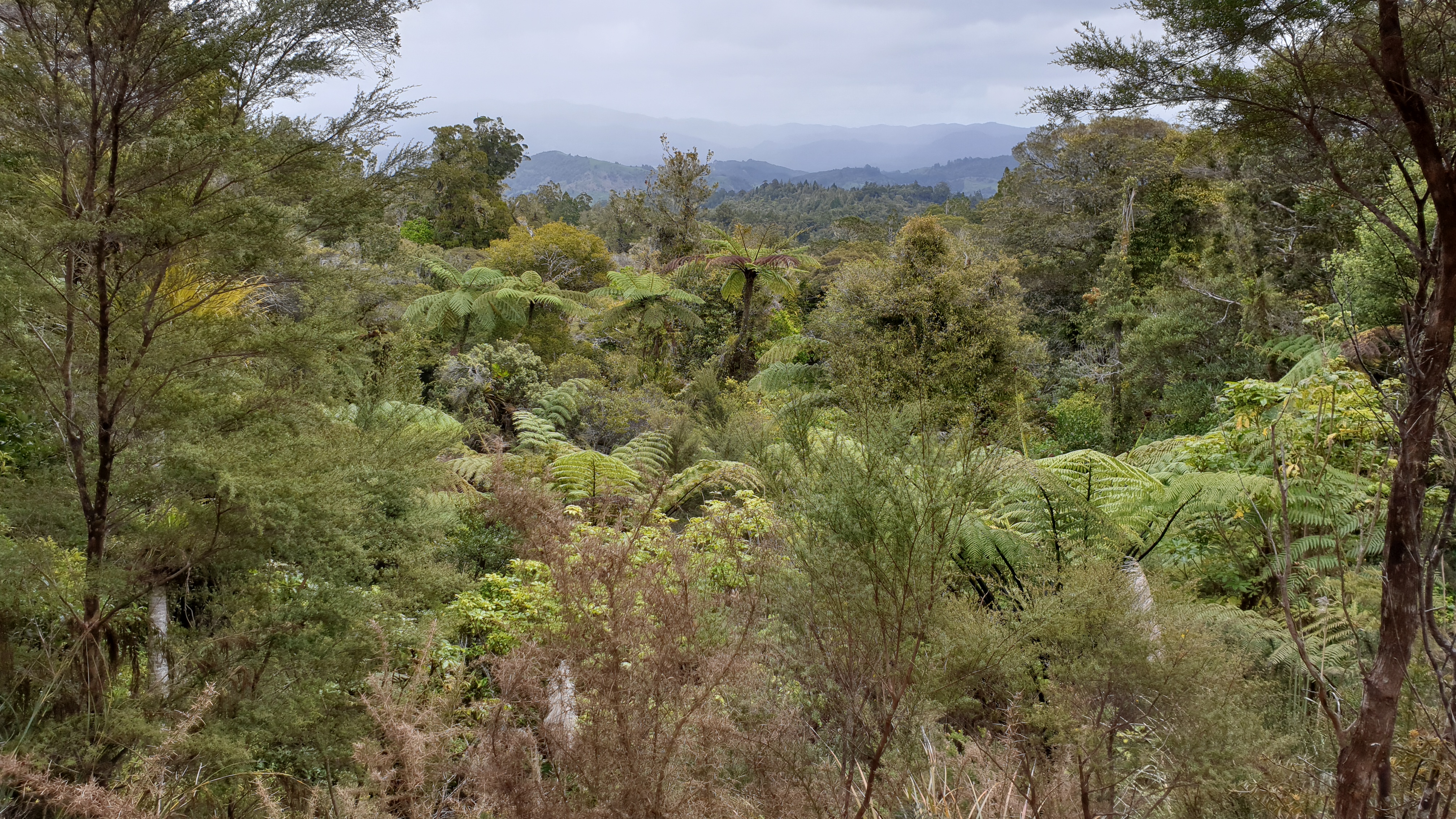
Though the distance on both days is similar, today I was only en route for about 3.5 hours. The walk is all on 4WD track, steadily climbing 300m or so. This is the track through the Omahuta Forest, which is a Kauri tree protected area. The road went past several dairy farms and the weather remained good, though very quickly changing between sunny, overcast and drizzly.
I set up my tent as soon as I got to the Apple Tree Campsite as it was beginning to drizzle, though it past quickly. The lunch of the section was then prepared, which is flavoured tuna, peas and those thin rice noodles you buy dry. I normally have this for dinner, but variety is the spice of life 🙂
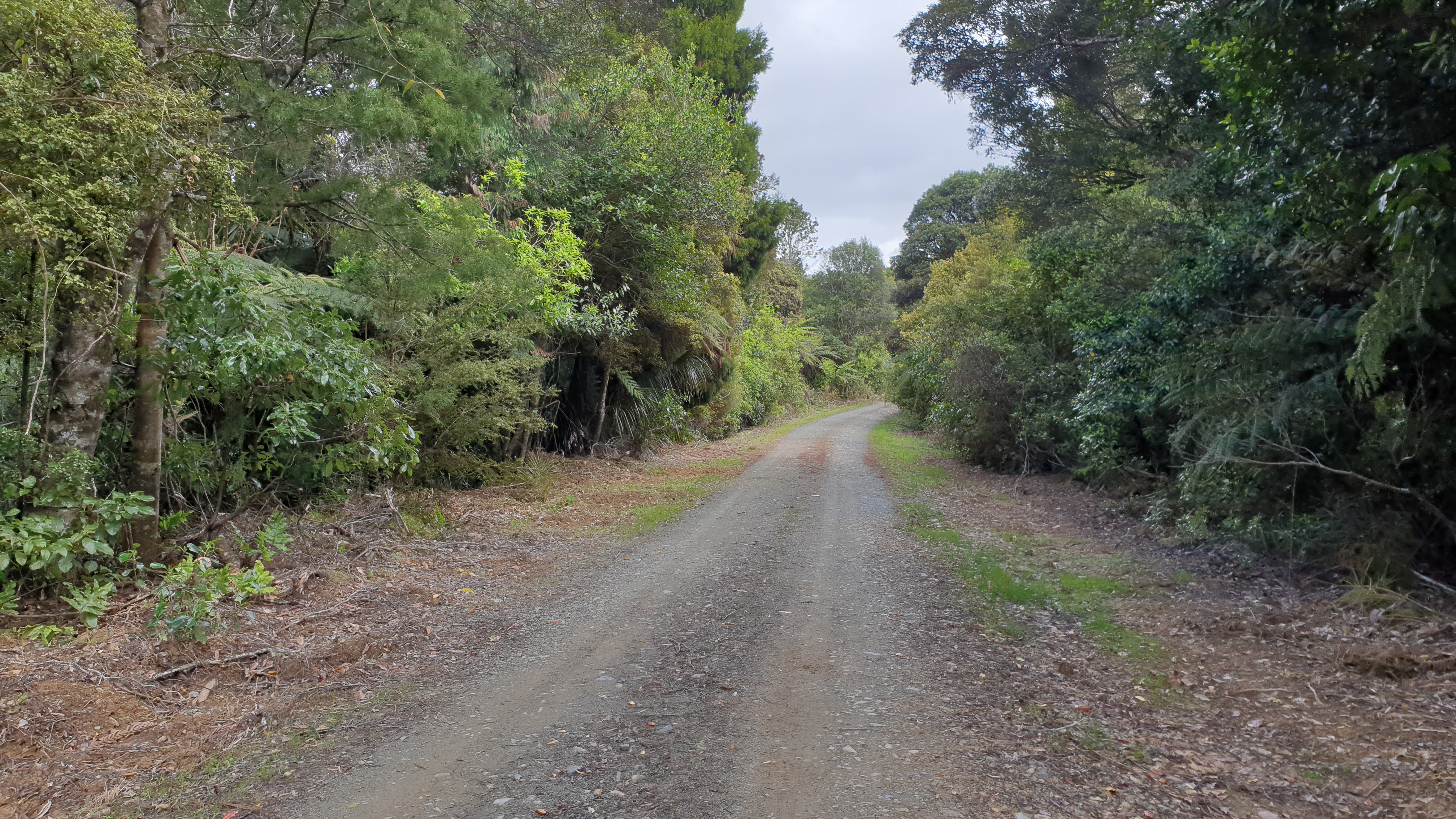
Day 12
Date 31 October 2019
Km 25
Cumulative km 186.6
I figured today would be a long day due to the distance that I needed to cover. I am struggling to sleep, so I knew that would add to it! I got out of camp at 7am. The section starts with 6km of 4WD track , so it wasn’t bad going. The transition down to the river was muddy and sloppy, so back to having muddy and wet feet.
I wasn’t sure what the expect from the river, but it was 3km through and in the river, which was actually lovely, green and pleasant. Progress was a bit slow as you need to go from bank to bank in the shallows and criss-cross the jagged pebble bottom all the time.
I got a bit lost on the way out of the river when needing to do the final crossing, but I eventually figured out where I needed to cross, and to get down a super steep embankment to do so.
The next section in the forest was really tough. Firstly I was excited to have clean shoes and feet, but that wasn’t going to last long. The mud was not as bad as Raetea but some deep sections existed. The track also just barely hugged the slope, was 1 foot wide and often slippery. I was scared I would slip down the side. There were also tricky crossings across ditches which I didn’t like one bit. I’m not a very agile person, and with a backpack and slippery conditions I was nervous. Luckily, they turned out OK.
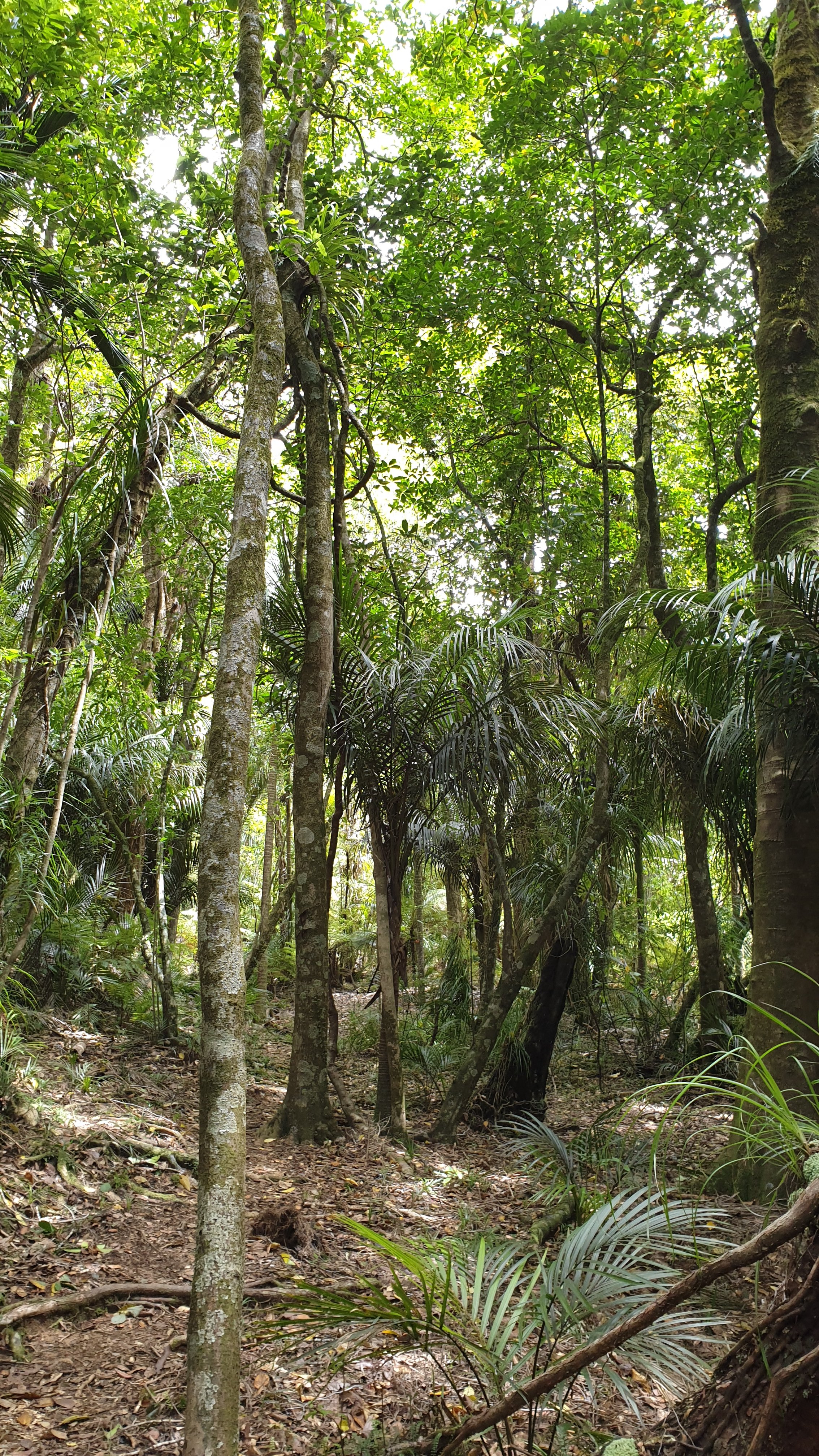
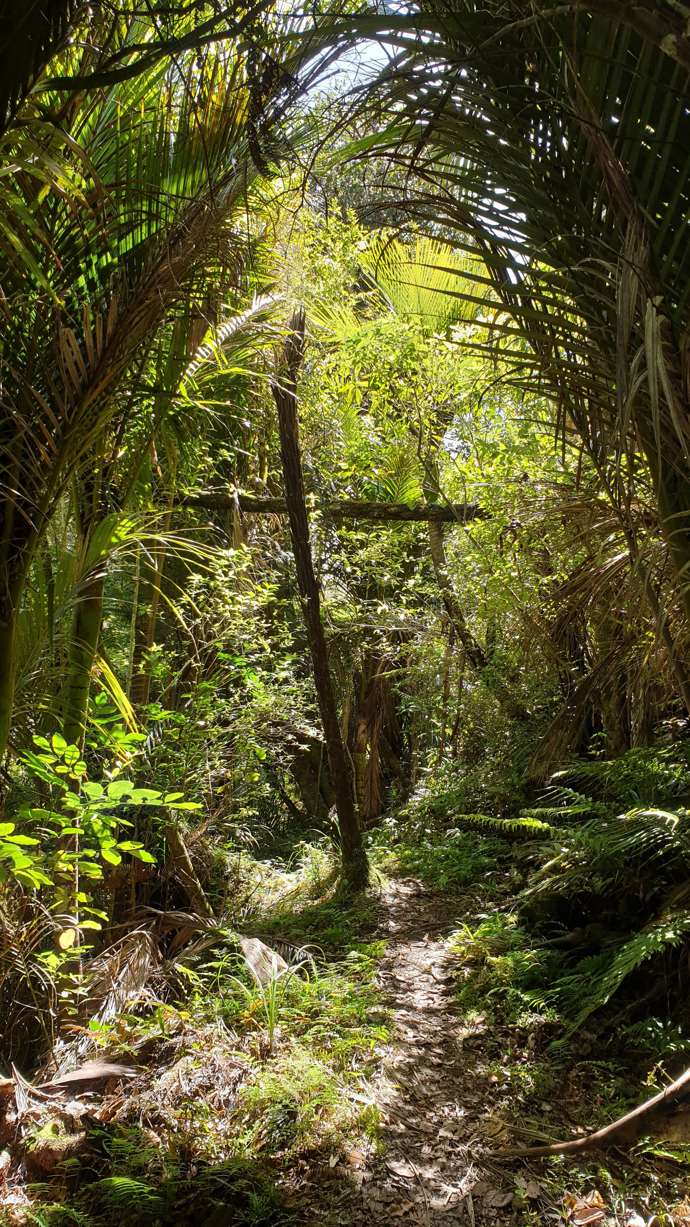
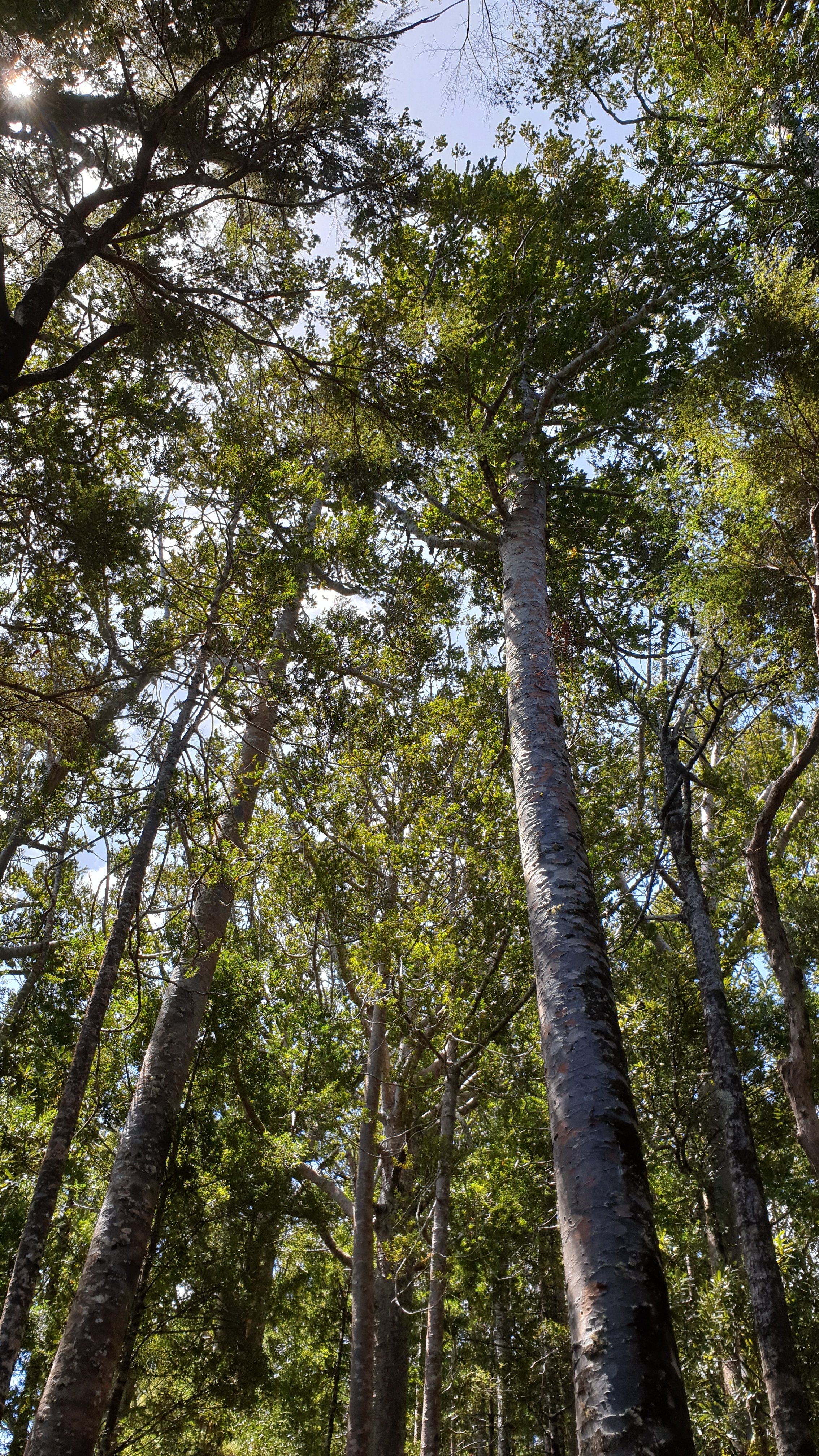
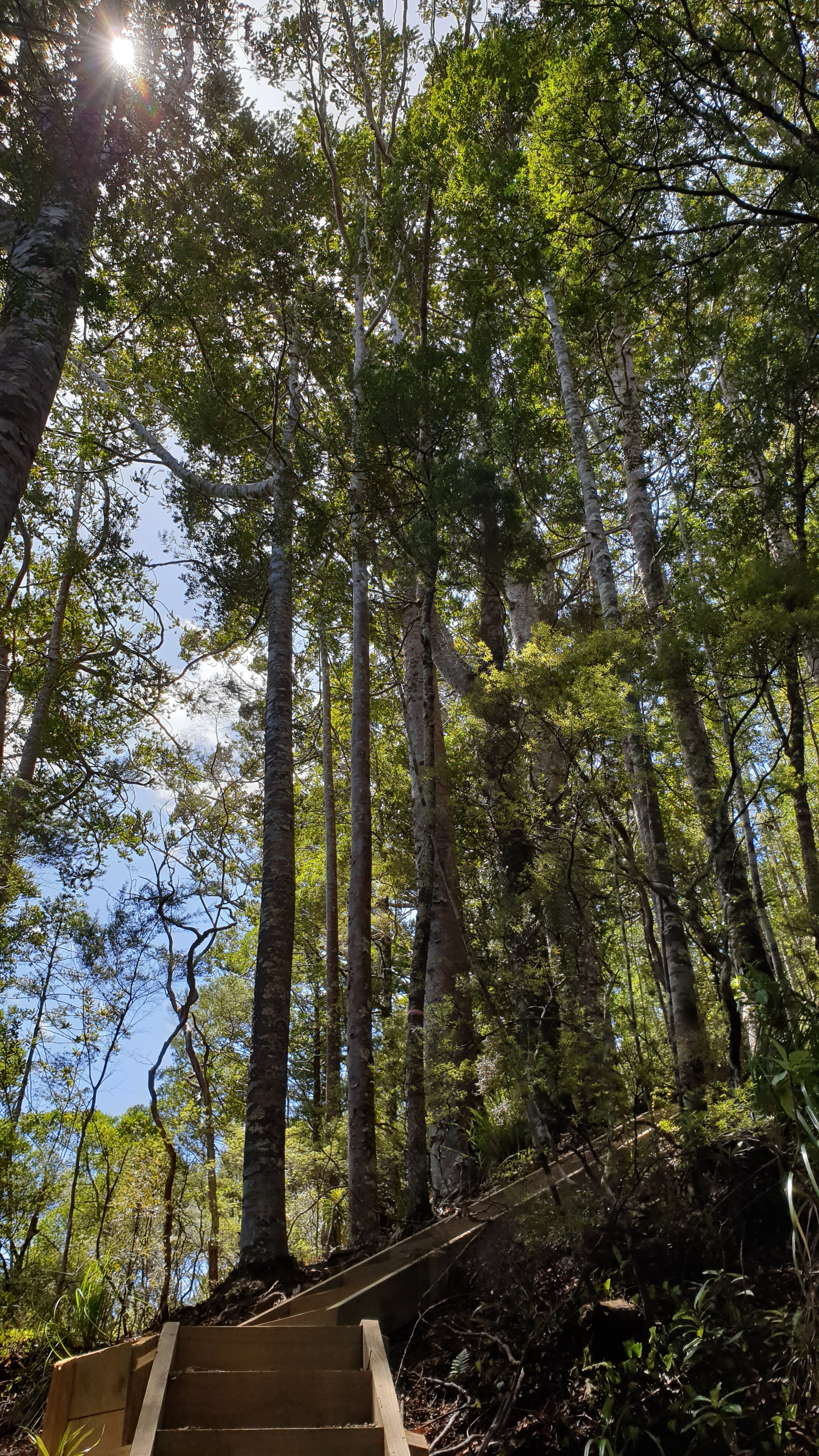
After hours of hugging the slopes and trees to help me out, I got to the Kauri tree section. They are pretty magnificent trees , and they are being protected from a fungus that is killing them off. So where there is a high concentration of them, there are steps created and stone paths to clearly define your route. All hikers also need to clean gear and equipment at cleaning stations. The stairs and paths were also a good break from the more treacherous day.
Imagine my joy when down a small set of steps I hit the 4WD track that would lead me to camp. Though not after 9km and some 2 hrs 15min later. My body had had enough! My feet were still wet in my drenched shoes and the neck and shoulder muscles were tired from the bag.
So nearly 10.5 hours later , I stumbled into camp. I stayed in Puketi hut. This had electricity, bunks, cold shower and great facilities, even fridge and microwave! All clean too.
For the last 2 nights I have needed to pee in the middle of the night, which isn’t great. However there is one advantage- seeing the magnitude of the night sky, without clouds and nearly no moon. The night skies in the bush are stunning here! Though it’s a bit chilly, so I didn’t stay out too long.
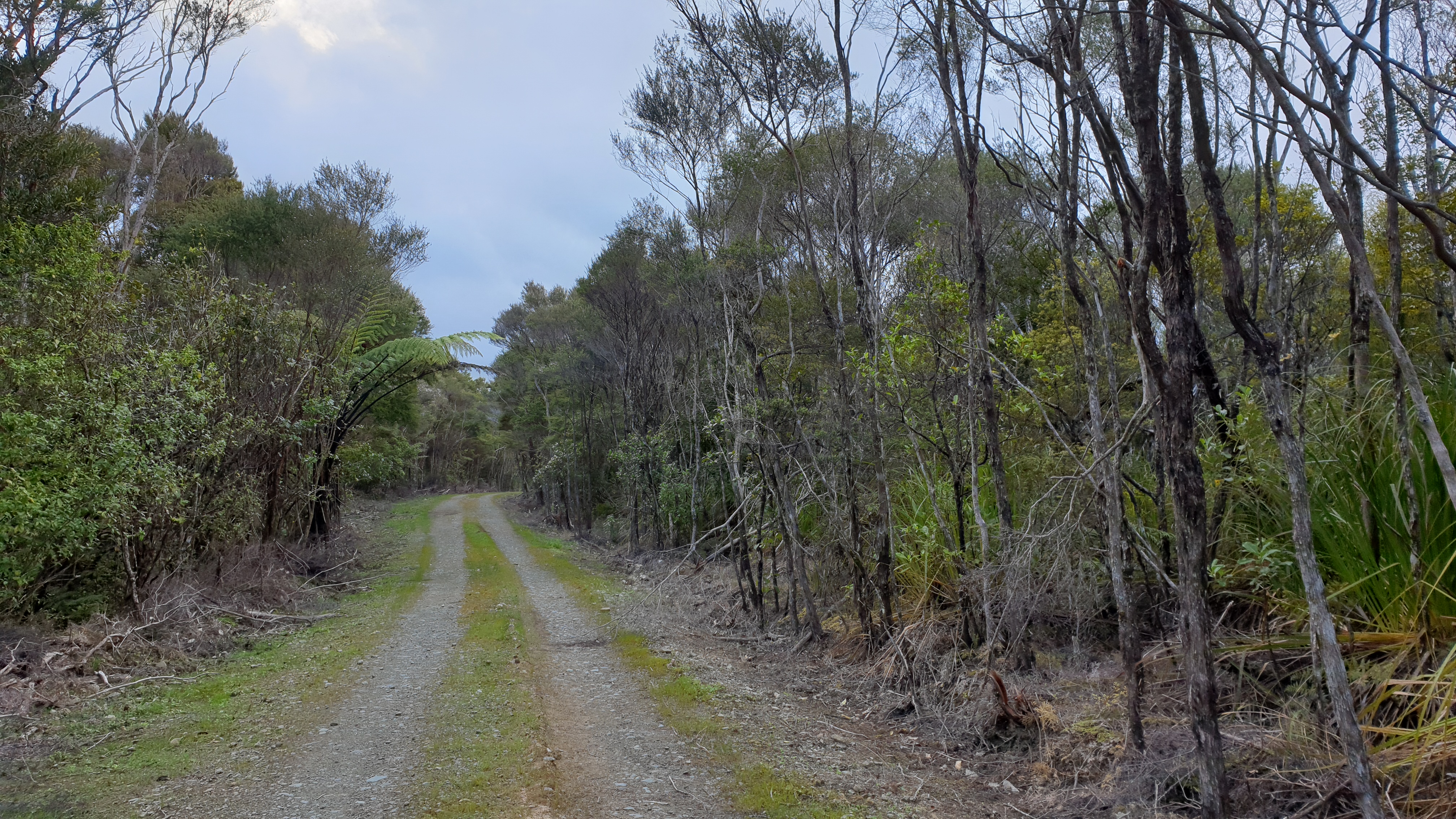
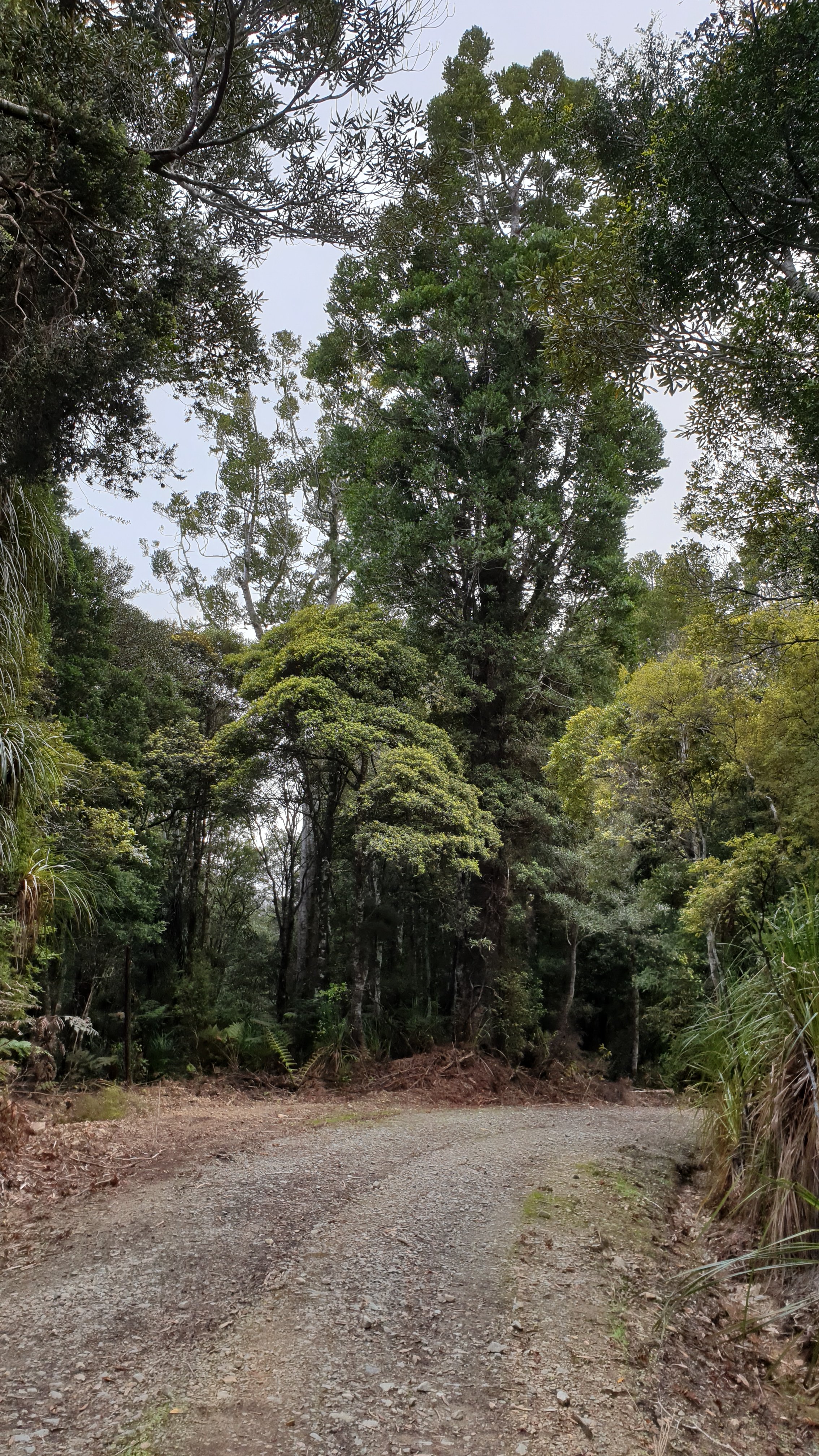
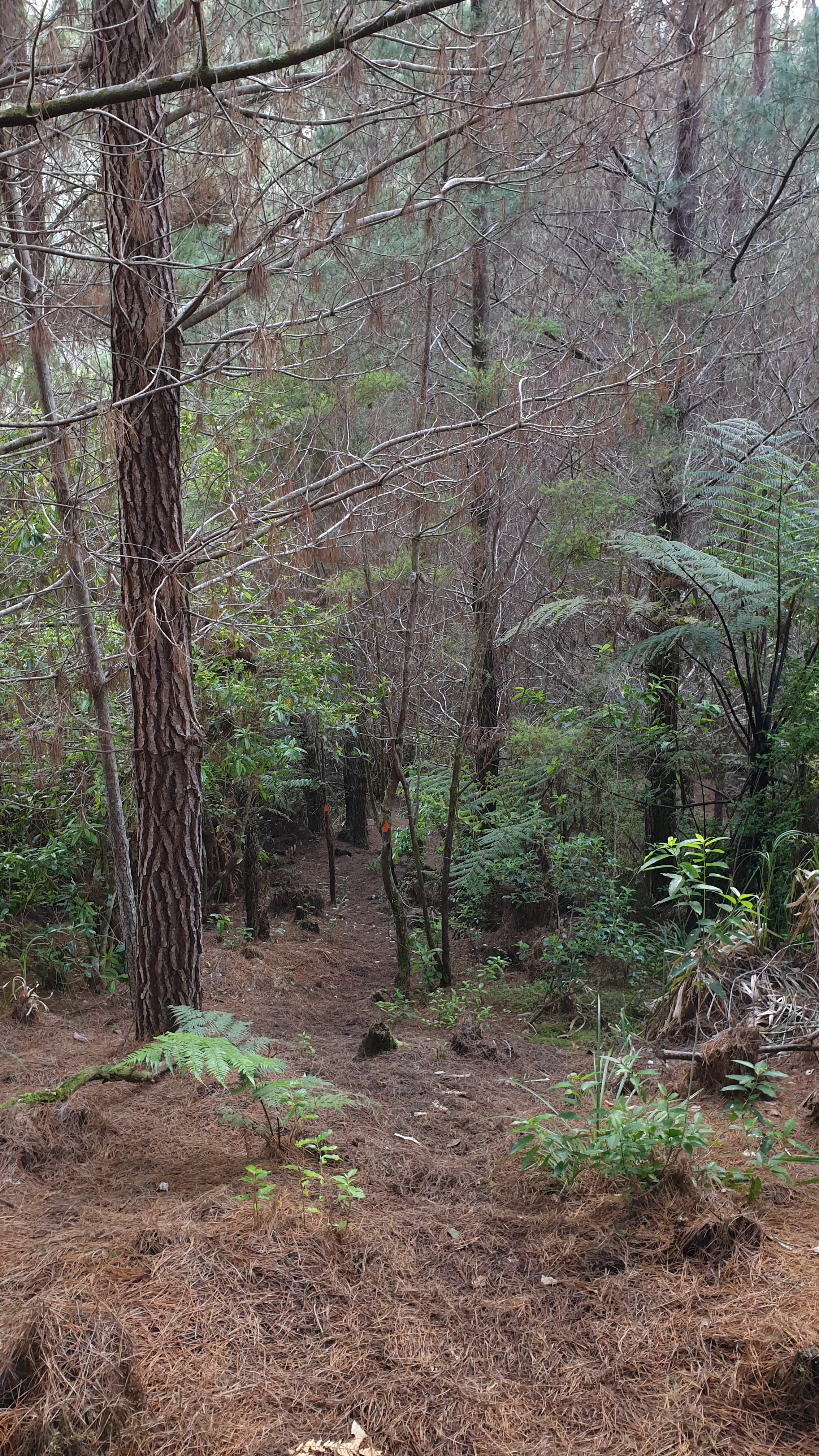
Day 13
Date 1 November 2019
Km 13
Cumulative km 199.6
After a good 6 hour sleep in the hut- finally- I headed off on what was to be a long day , though not difficult, to Kerikeri. After a few kilometres of dirt road walking there is a section through sheep and dairy farms.
I got lost here- following the Guthook app directions rather than signs. I went round and around in the paddocks and ended up falling into an unexpectedly deep wetland type area. I had crossed shallower portions in trying to find where I should go, but it meant wet and muddy feet again!! I eventually found the gate I had to be at- but had to cross this wetland again. I tried in a few places but it was way too deep.
Eventually I found an area that I didn’t sink into too bad, just half way up the calves. Finally I was on the right track . This led out of the farms and onto a country dirt road. It was long and pretty boring. Just after this road turned into bitumen a car stopped next to me and offered me a lift. It already had Moritz and Marie, the two young Germans who I had been camping with the last couple of nights.
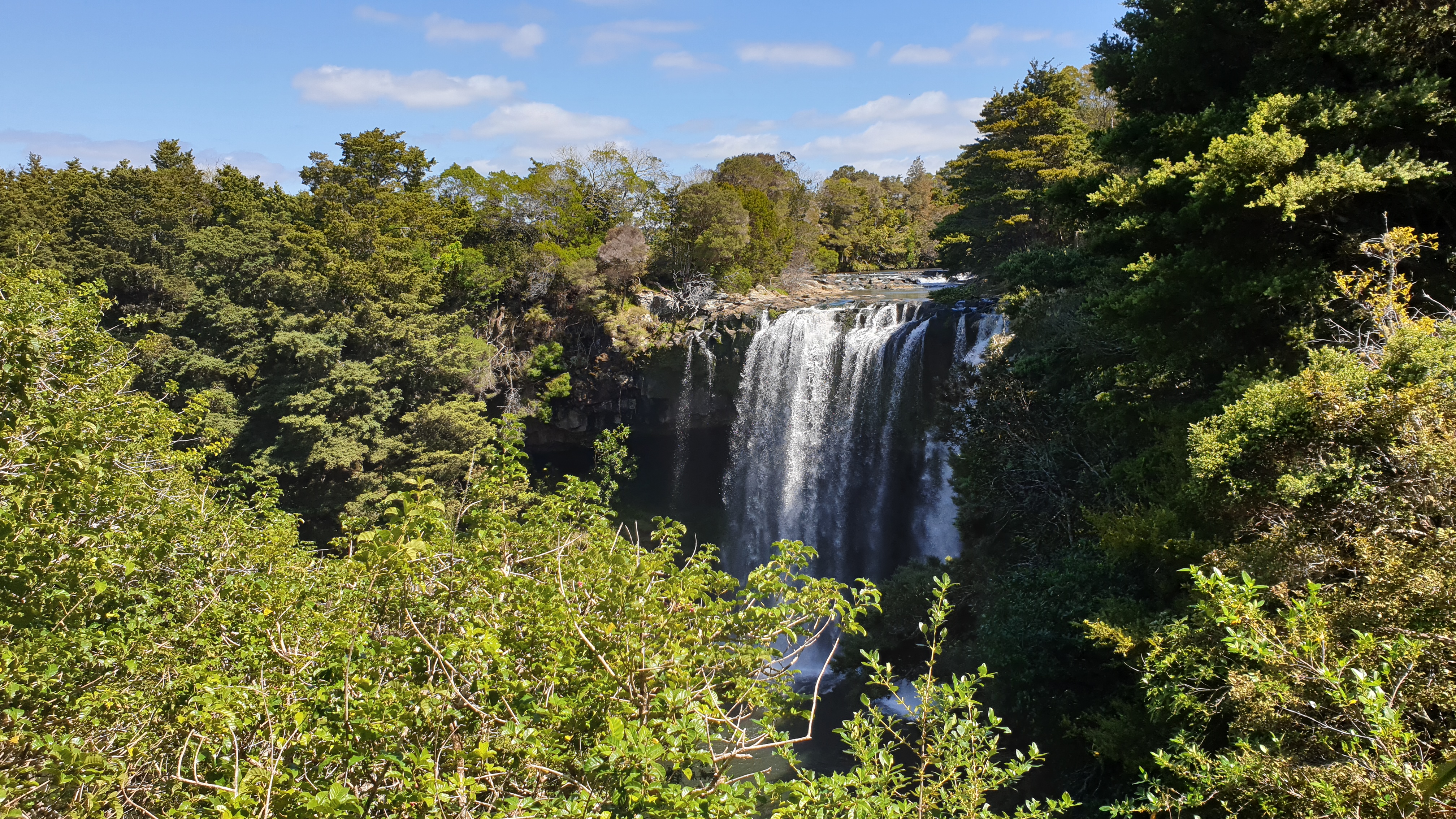
The lovely older couple were taking us all the way to our accommodation in Kerikeri. The highlight of the walk was to be Rainbow Falls. The lady was so nice that she stopped there for us to have a look and take a few pics as it was just a quick walk to the viewpoint. We then carried on to the Holiday Park.
Upon arriving at the holiday park the reception personnel were eating lunch- fish cakes, which smelt delicious! Then we were offered some. And wow!! Homemade and delicious!!! And offered another 2 later. So yummy! Filled with stuff I dont normally like, like prawns and mussels, but man it worked!
Coming into the campground was good, in that I had caught up to many other hikers that were ahead of me in the Raetea forest as they were quicker. The big NZ / French/ English group, Danish, Belgian couples. They were happy to see me as they had been concerned that I had stayed in the forest overnight and it was rainy the next day. How nice.
I also made a visit to town and had sushi and waffles as well as shopping for craving foods like eggs, rolls, yogurt and cheese.
I also attach a photo of my bruised toes…multi coloured at the moment.
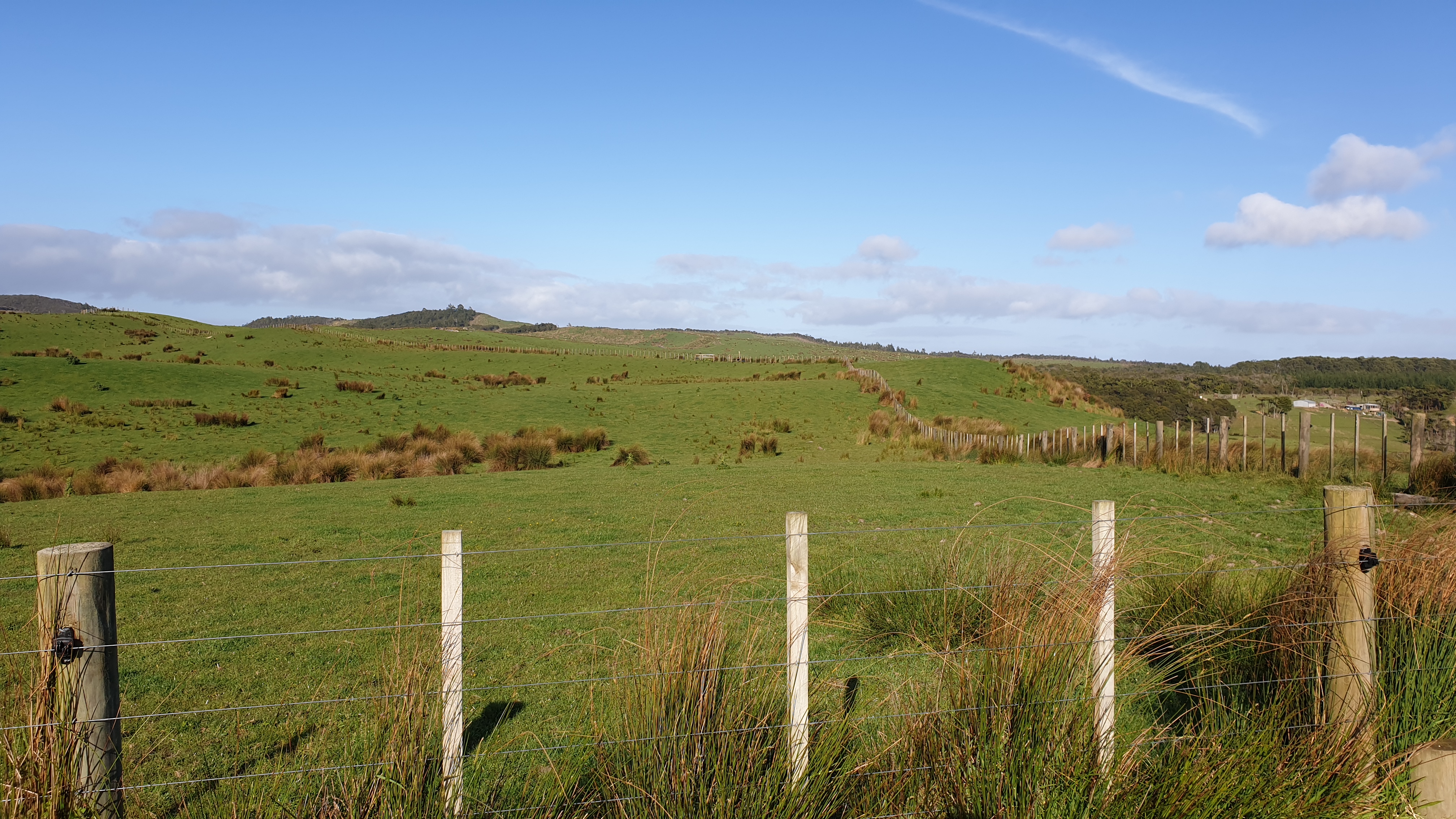
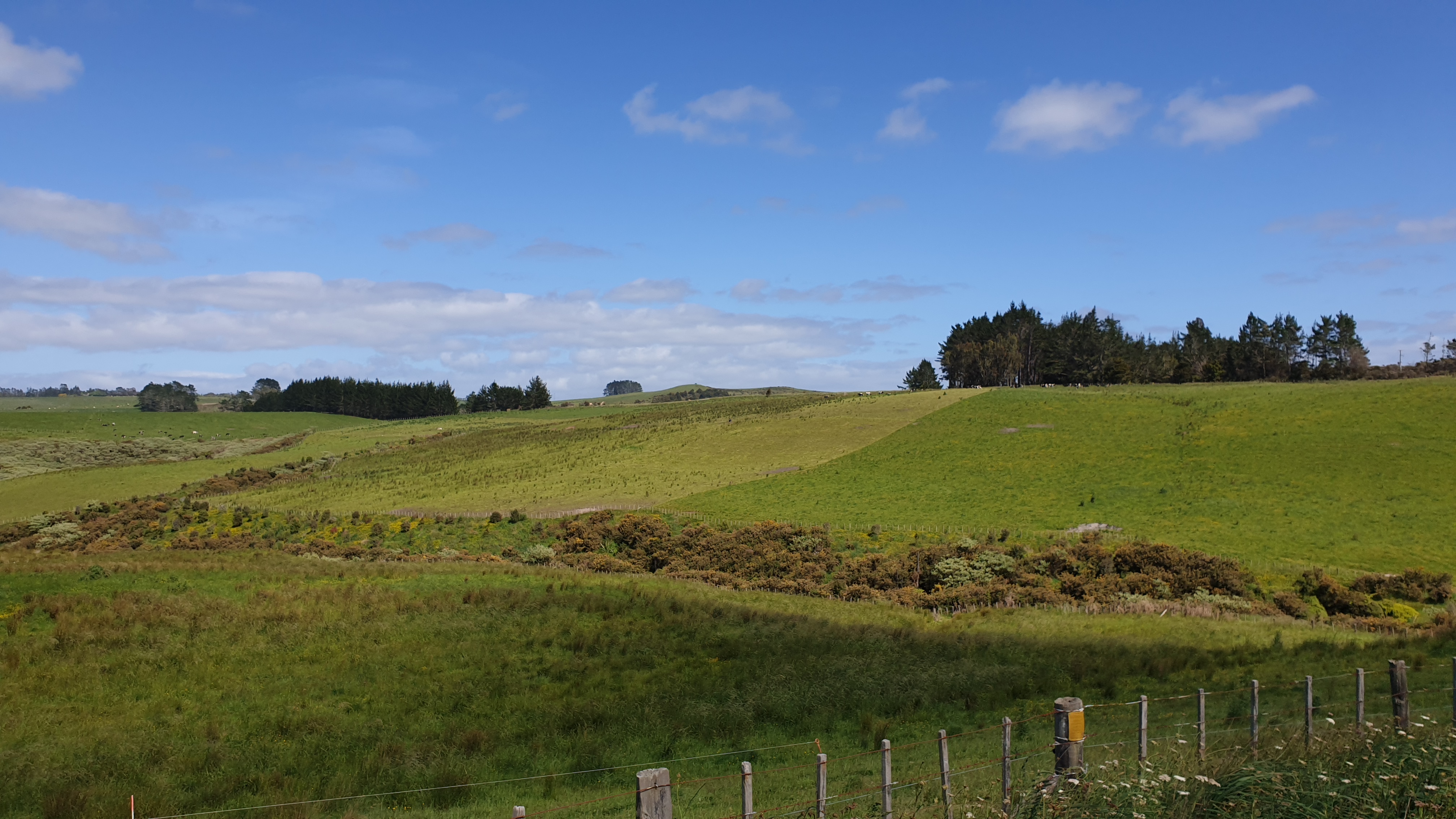
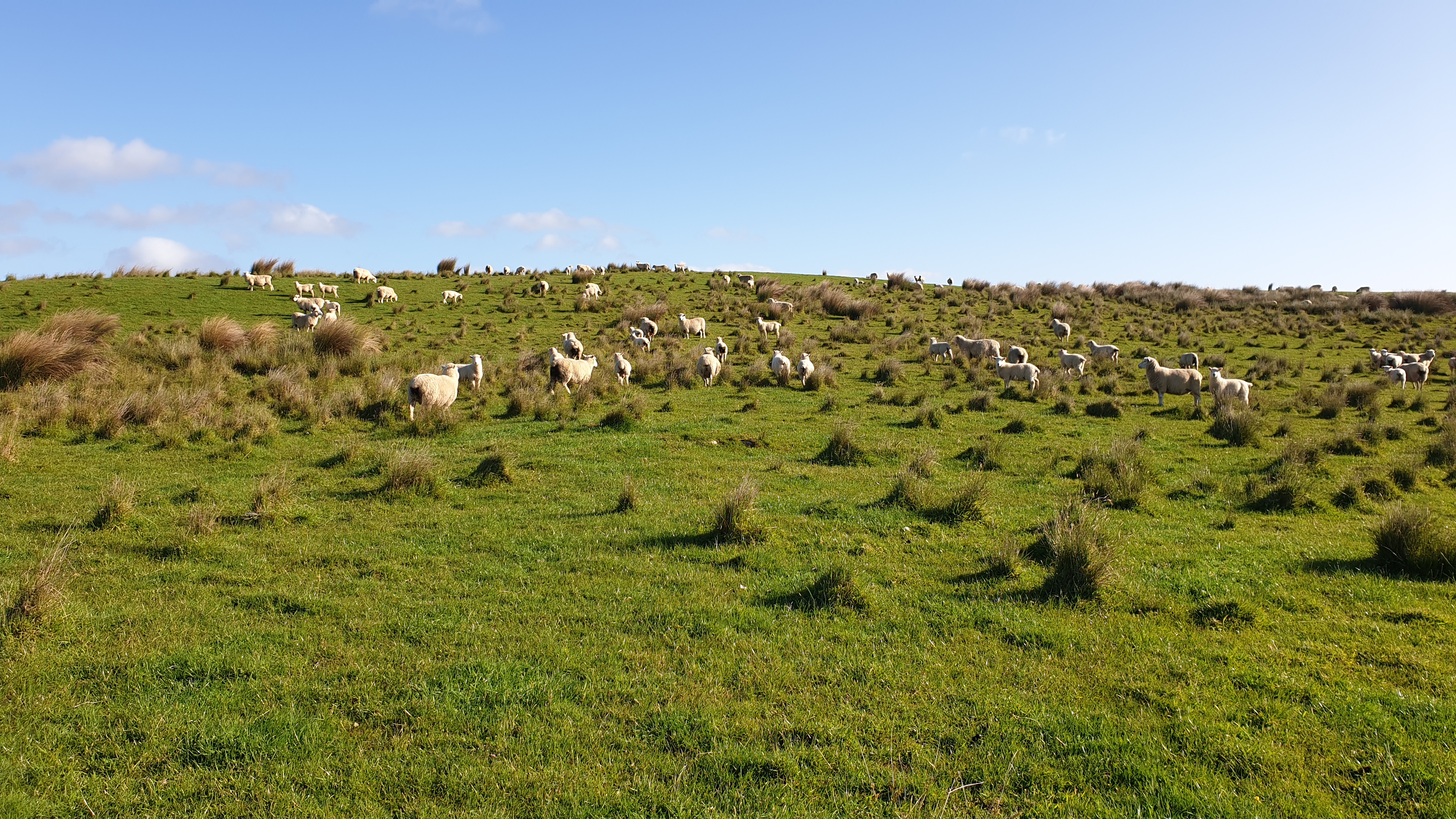
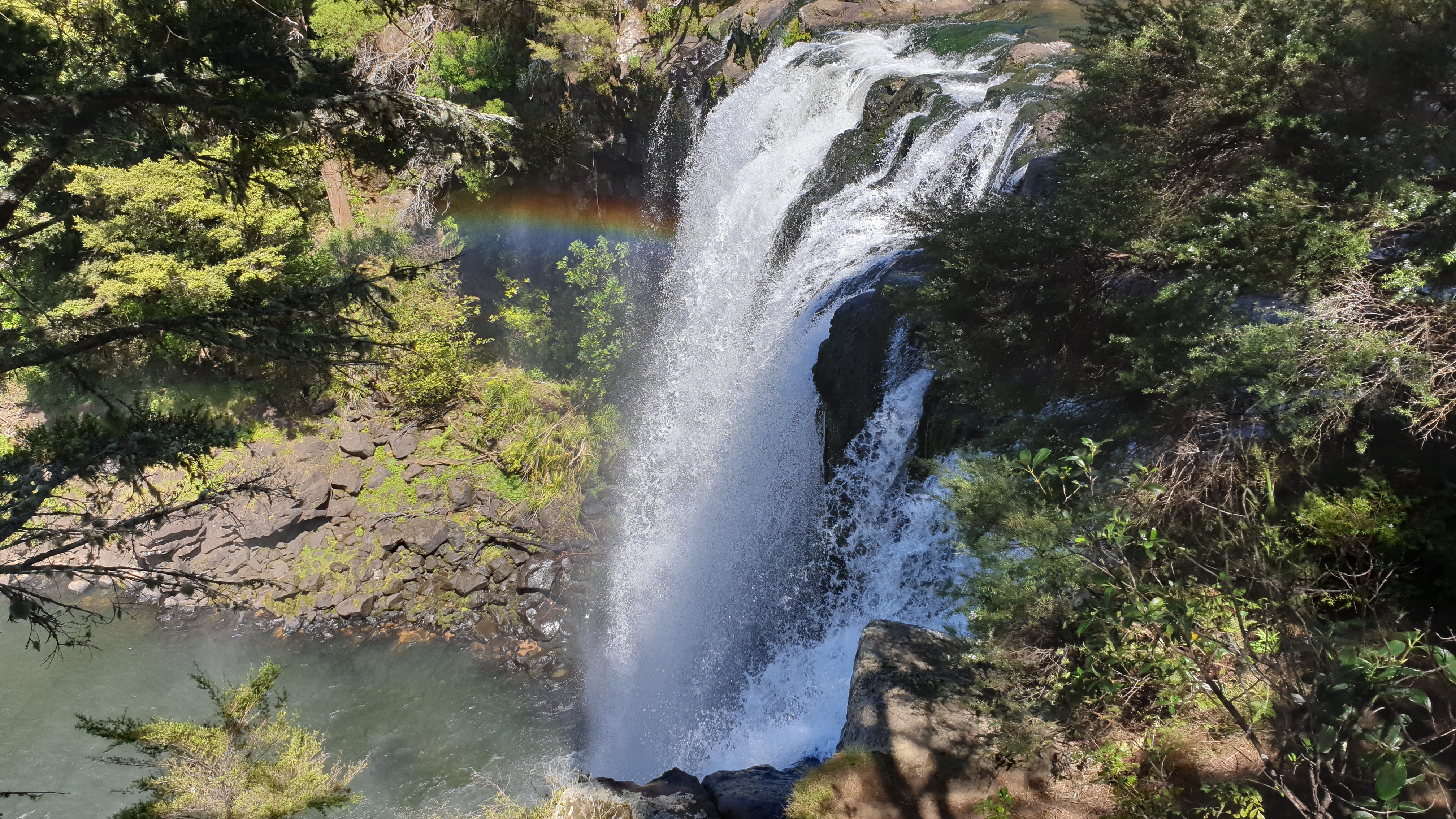
Day 14
Date 2 November 2019
Km 0
Cumulative km 199.6
Having a rest day, so its coffee and non dehydrated food time and planning of the next section which is more forest… looks like some more long days ahead!
Cape Reinga to Ahipara
Day 0
Date 19 Oct 2019
Bus trip from Auckland to Kaitaia, then a pick up and drop off at Utea Park.Meet Sabine and Lucas, who have been on the bus all along.Had double beds, kitchen and even salad from Pak n Save. Could leave some stuff behind.
Day 1
Km 12.7
Carrying approx 15kg. Thinking how I shouldn’t be carrying heavy food like salami, cheese and peanut butter.
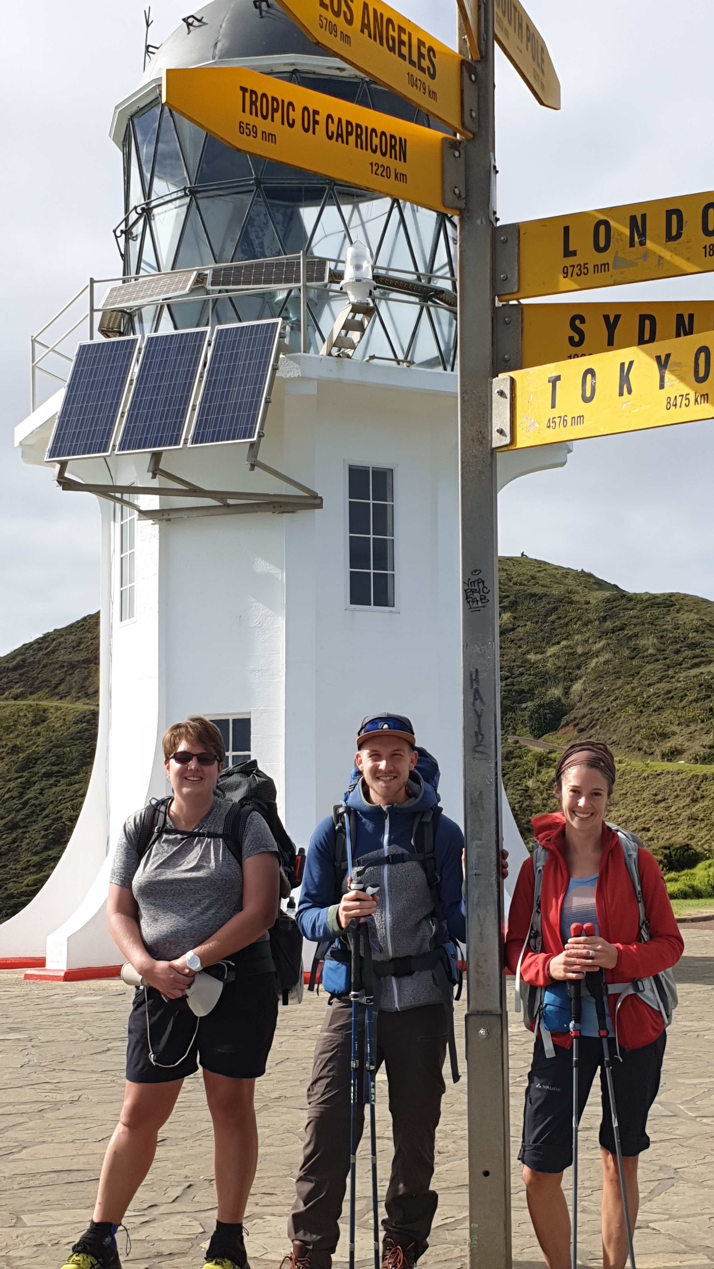
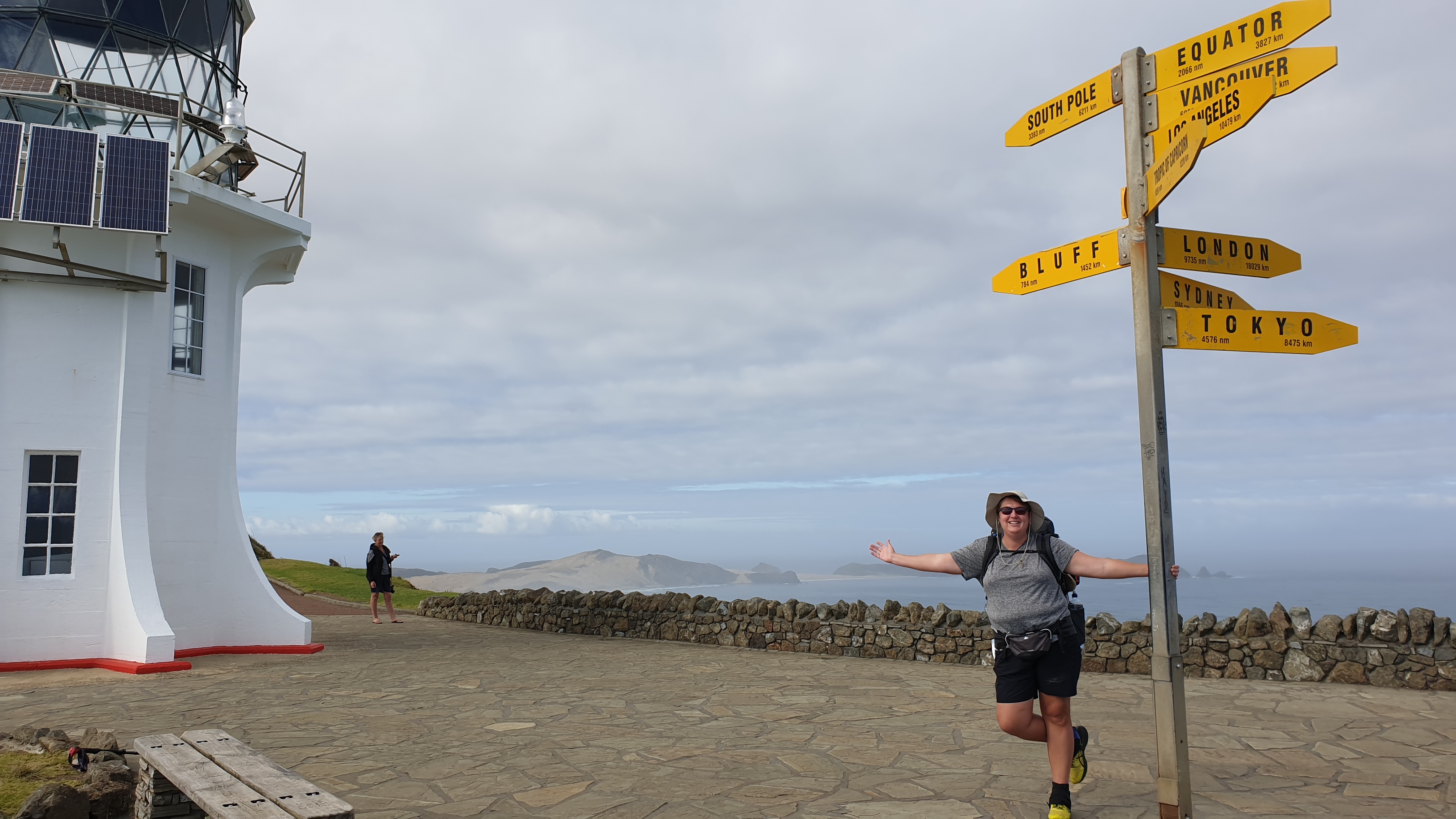
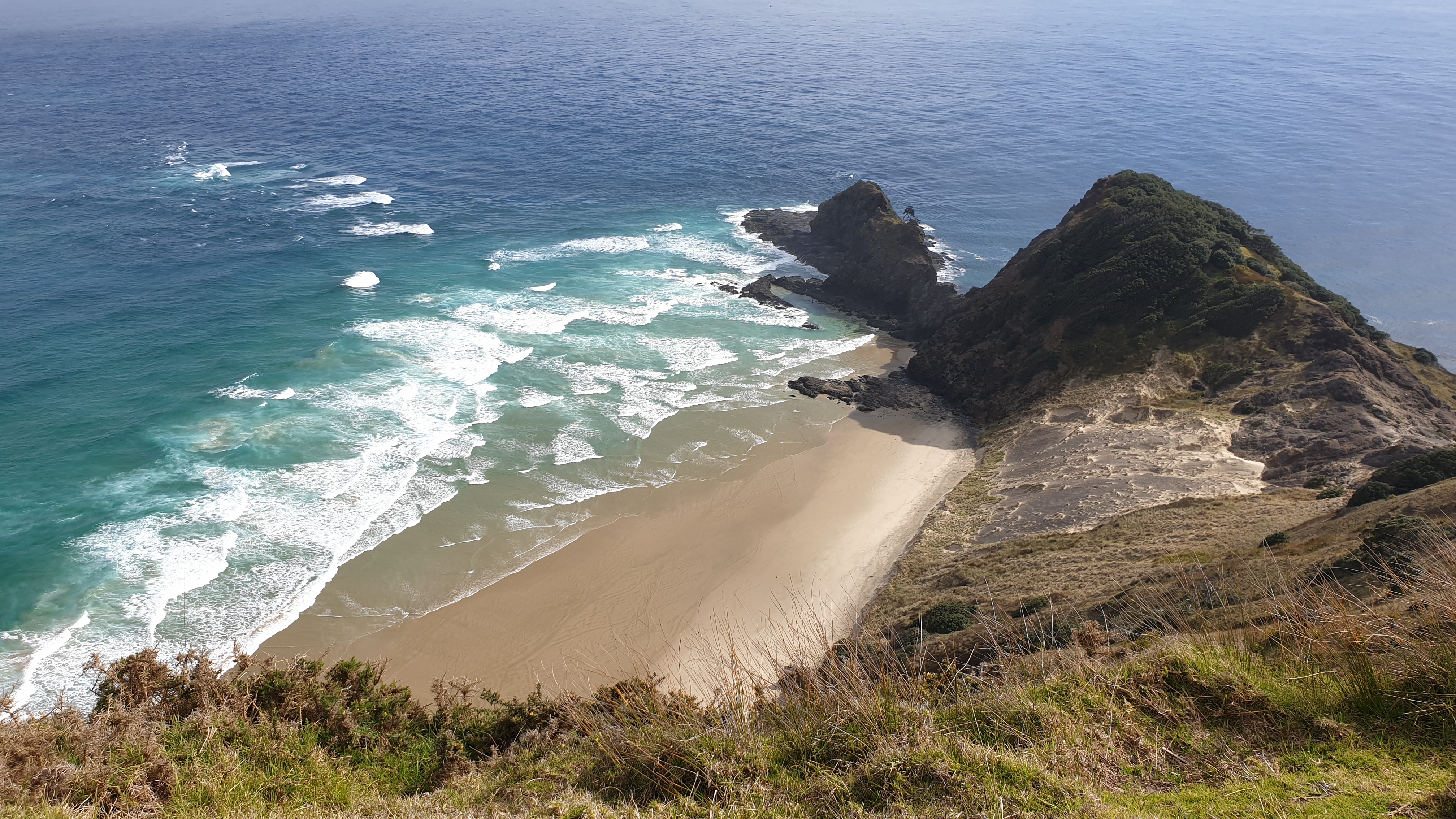
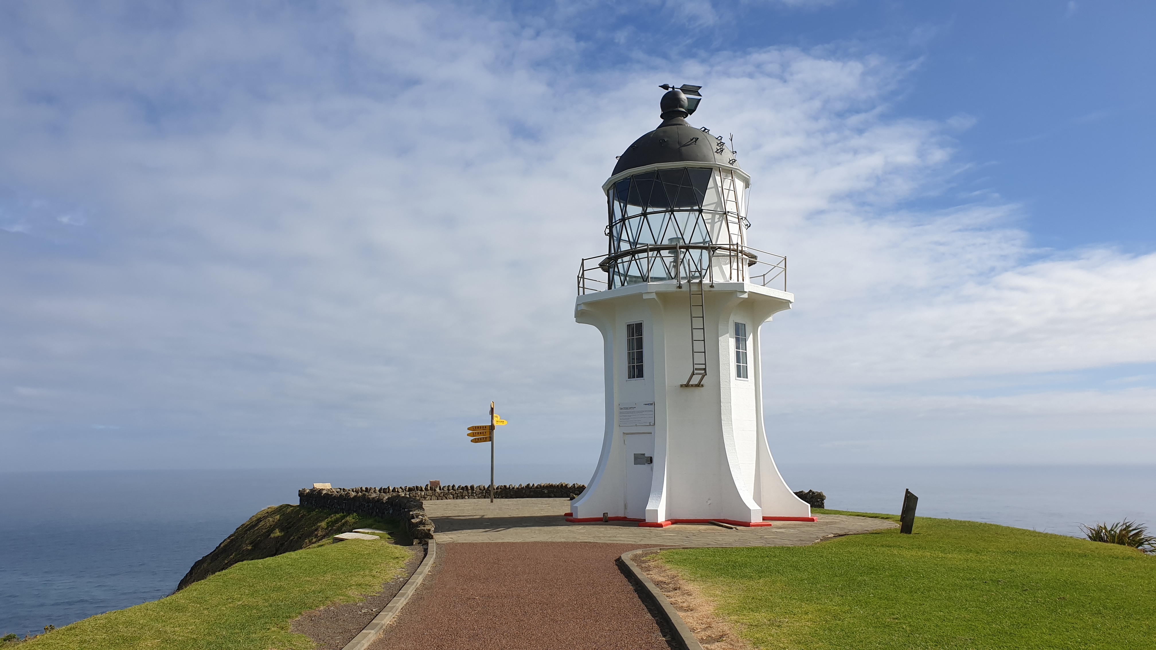
After waking at 3am and not being able to sleep again I was a bit tired.Drop off and 8am, at the lighthouse just after 9.
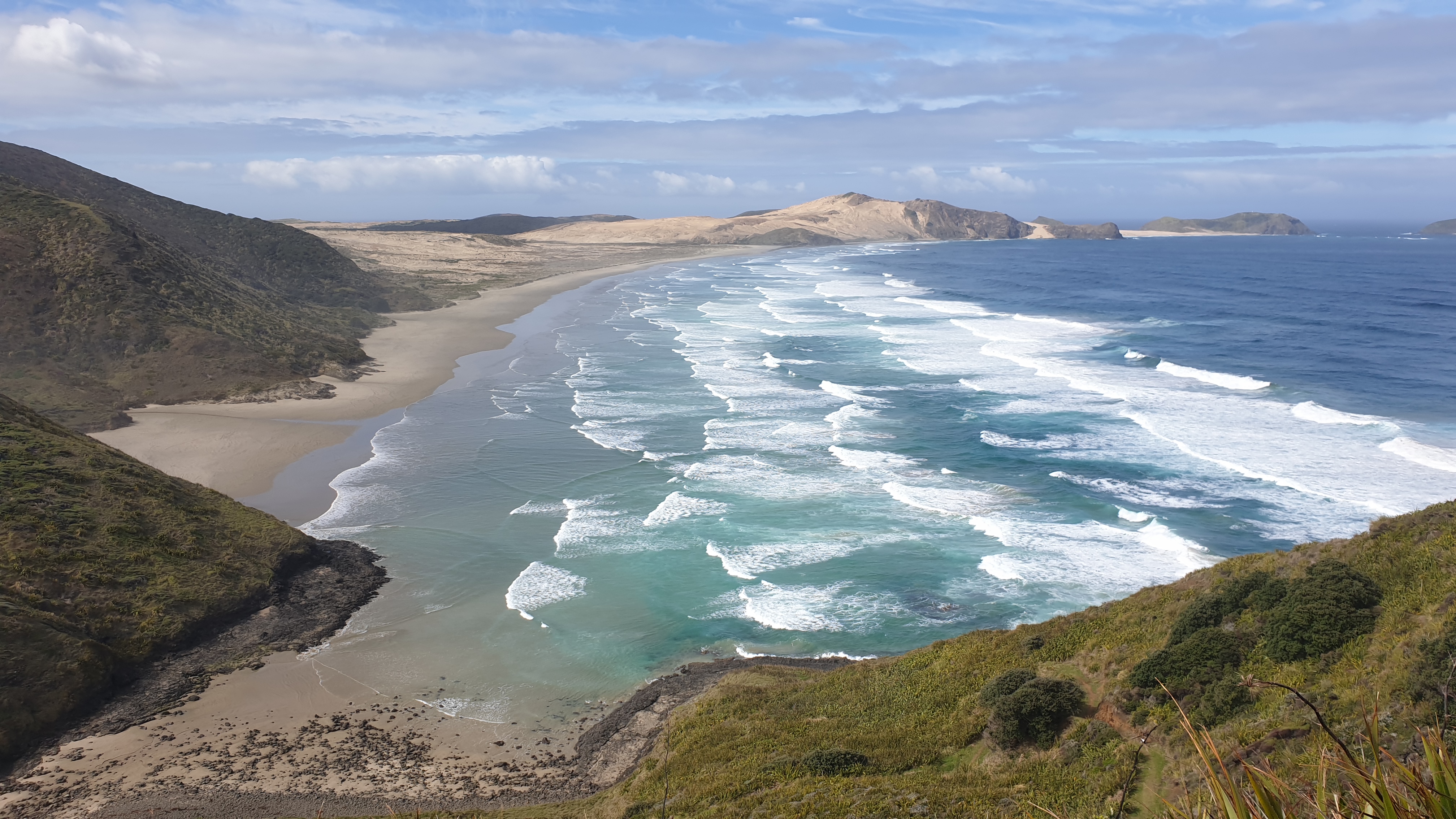
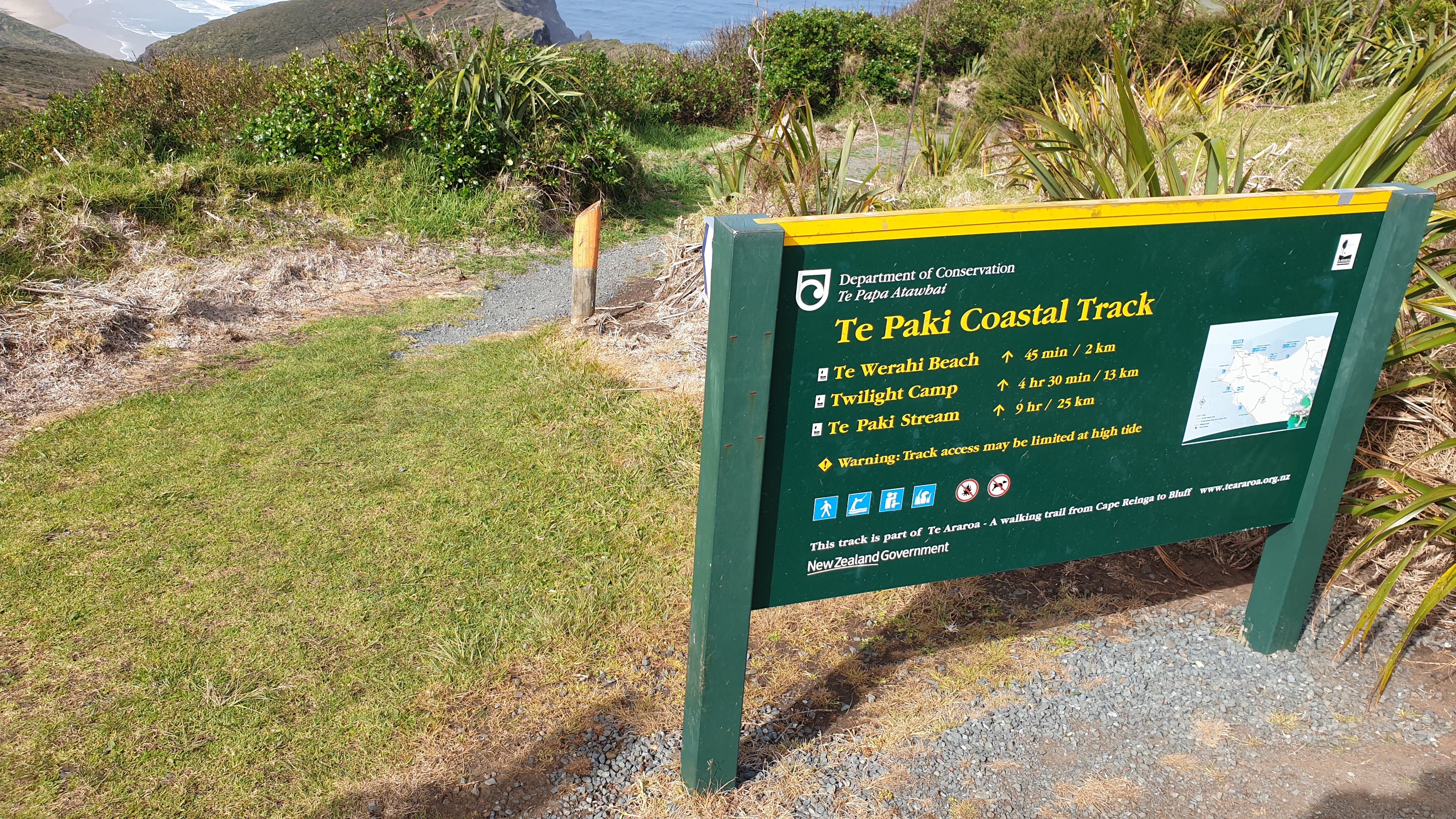
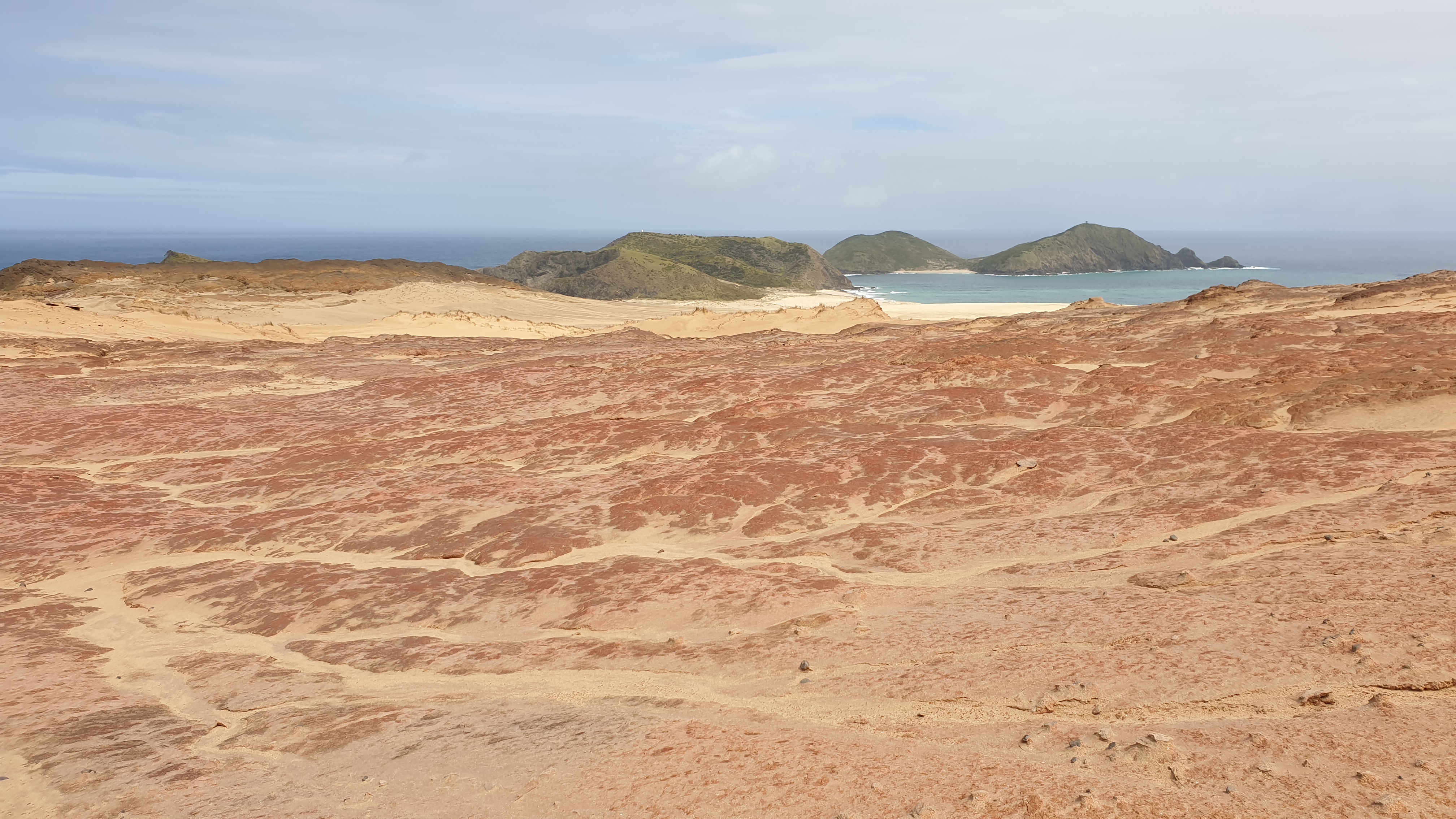
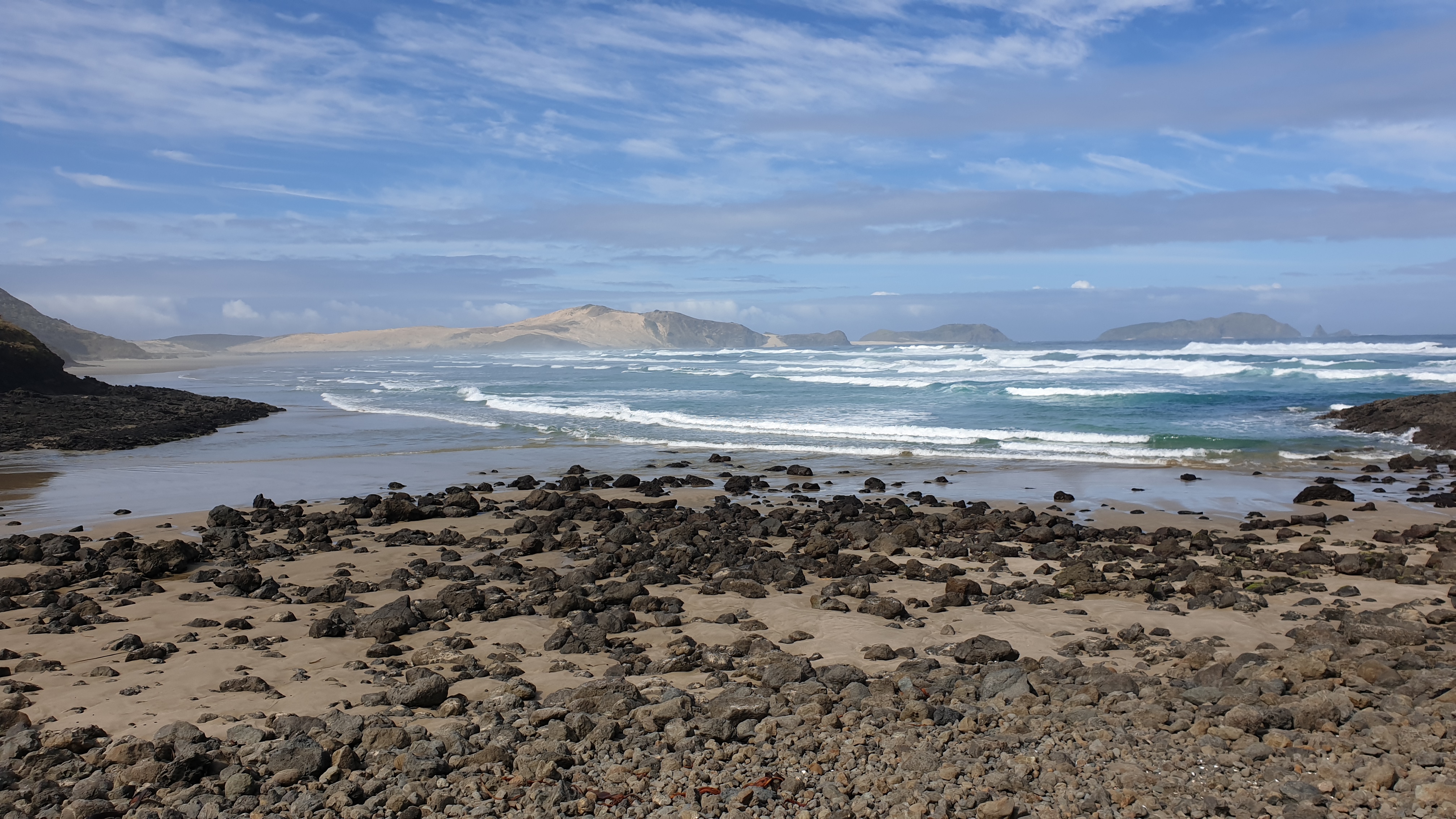
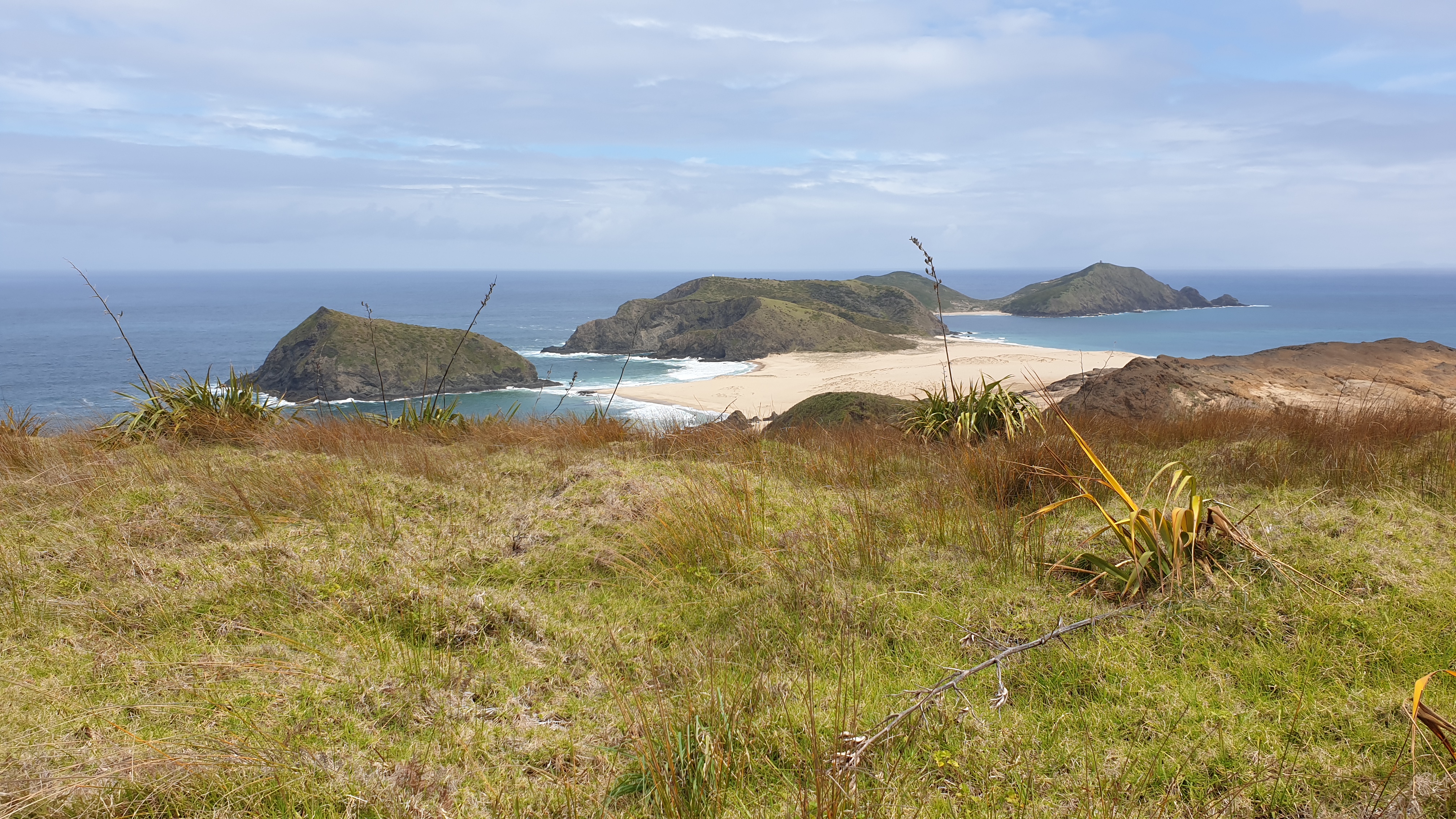
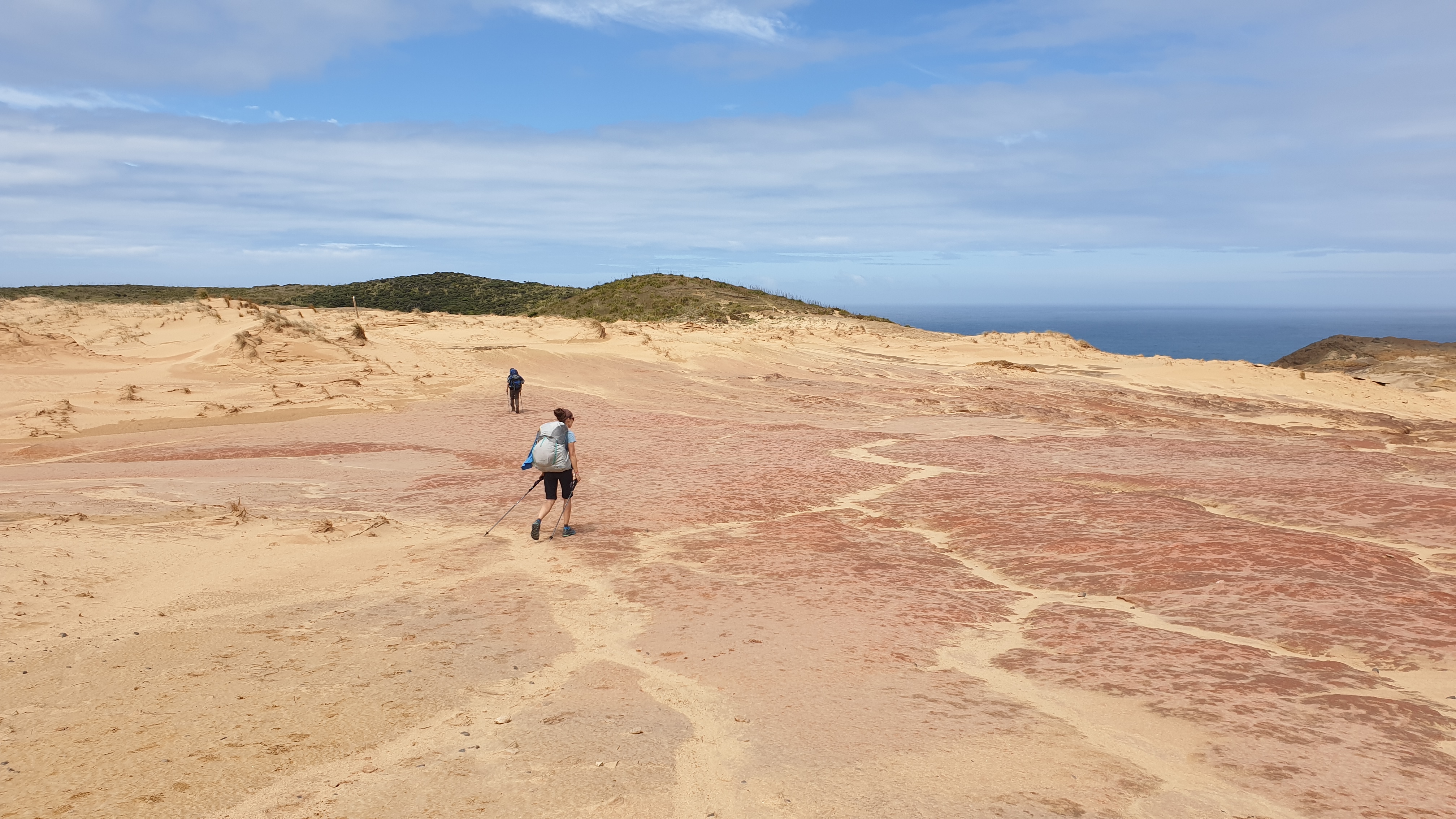
Take compulsory photos and walked to the start of the trail.Trail makes it’s way to Te Wahiri Beach. We crossed the rocky outcrop at low tide. Walked the beach then crossed Te Paki Stream . Lots of climbing up dunes next as we headed up to a nice view of Cape Maria van Diemen.
Good views of the peach dunes from behind and head towards our last beach.The start of Twilight beach has a visitor, a NZ fur seal . At first I think its dead, but it raised its head to check around and lay back down.
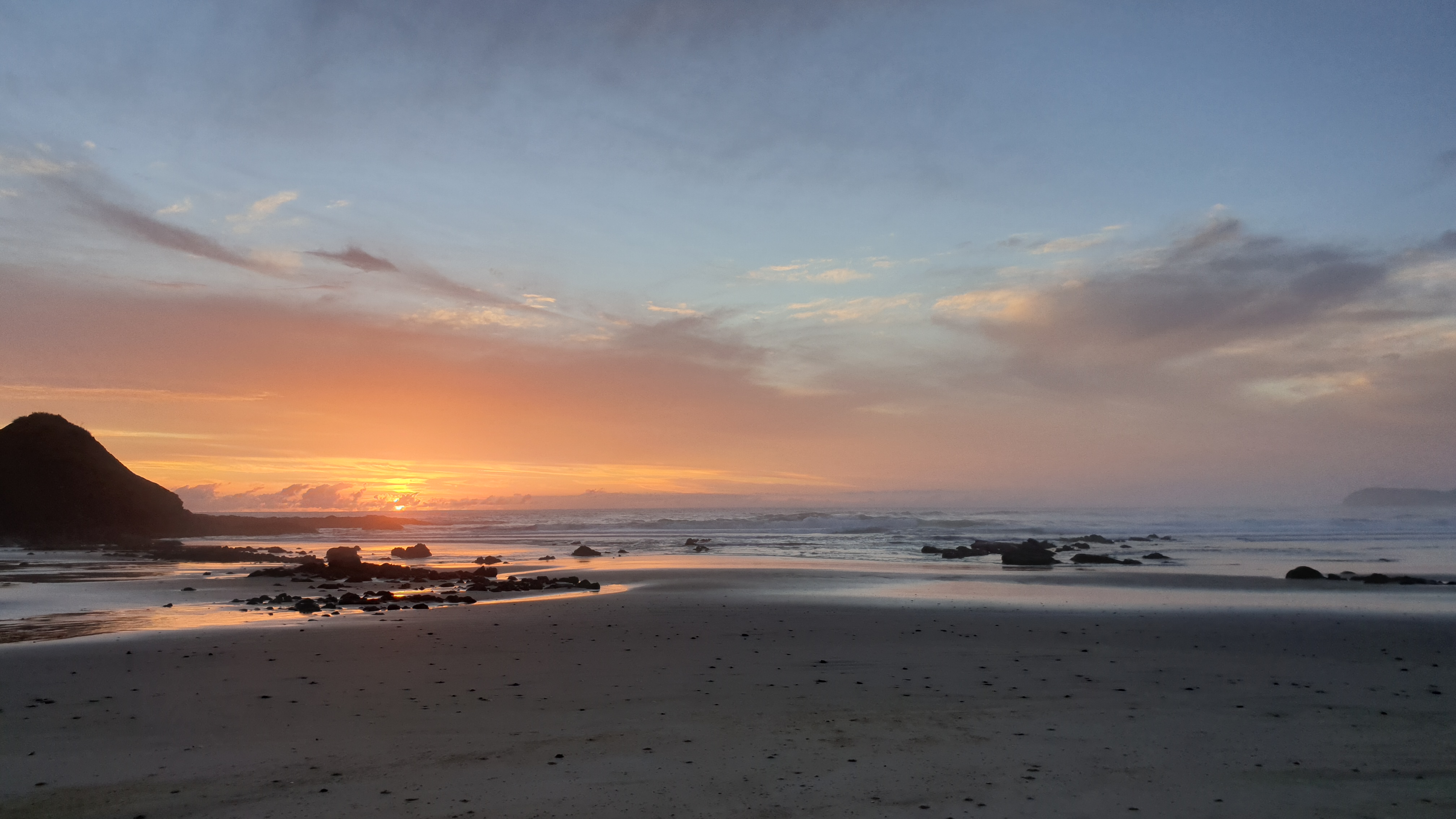
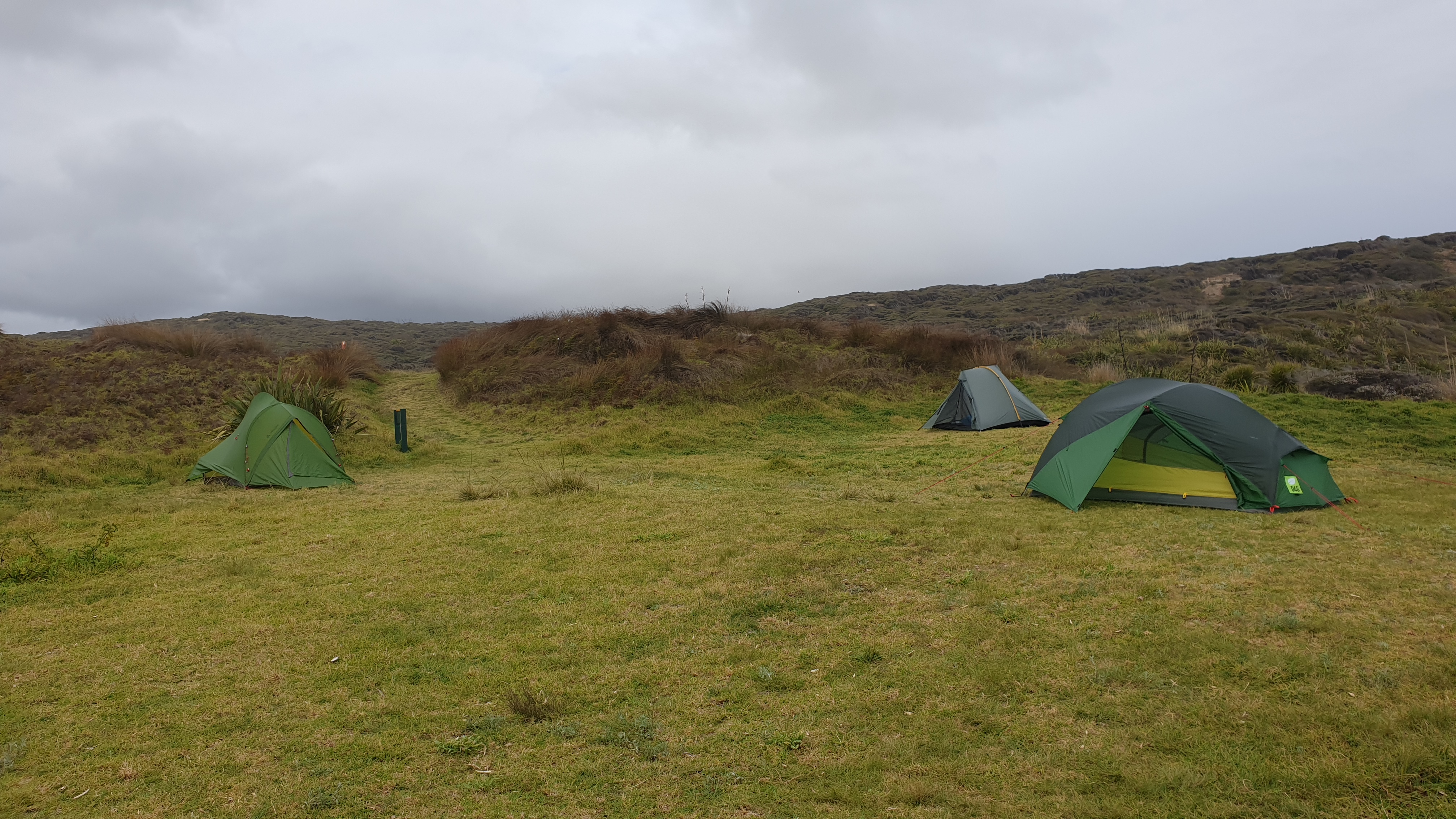
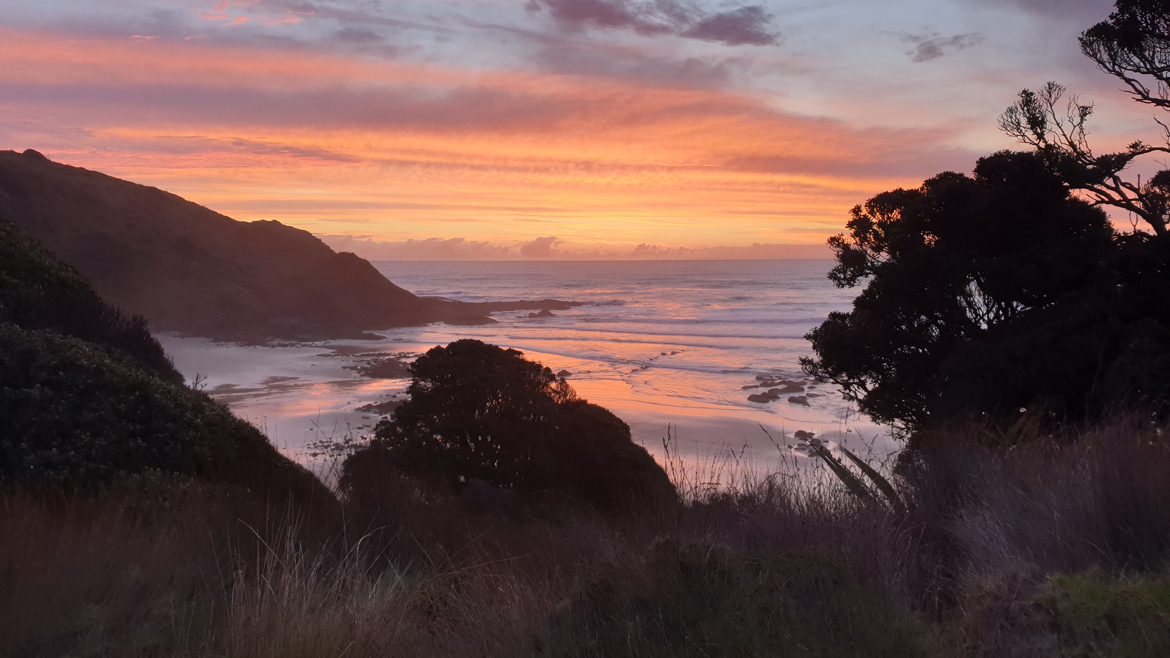
Our campsite at Twilight Beach is at the very end of the beach and a few staircases up.It has a shelter, running water and toilets. We get here after 4 hours.Watch the sunset, while a beautifully sunny day draws to a close .
Day 2
Km 28
Cumulative km 40.7
Leaving Twilight beach camp at 07h30 we head up a 4WD track , through low kanuka forest and get a view of where we came from and where we will spend the next few days- 90 Mile Beach.
There are multiple sets of steep stairs to get down to the beach, we look back at our first few steps on what is going to be a suuuupppper long walk on the beach.
Kilometres of when I had enough beach…2…kilometres to go … about 83!!After I stopped to have tuna for lunch and slowed right down as everything hurt… including shoulders from the bag I noted 2 figures in the dunes- it was my hiking buddies who were chilling. I rested for 10min with them and then we headed back on the trail. As high tide was coming in we had to stick to the much less compacted sand alongside the dunes. This made the last 2 hours real tough on my aching Achilles and feet. We got out of one waves’ way just in time with 30cm of space by sheer luck.
After 8 hours of walking, I got to out campsite- Maunganui Bluff. Lucas and Sabine got there about 30min before. Was greeted by a herd of wild horses.Was also delighted that there were cold showers here. Good for muscles and dirty body.
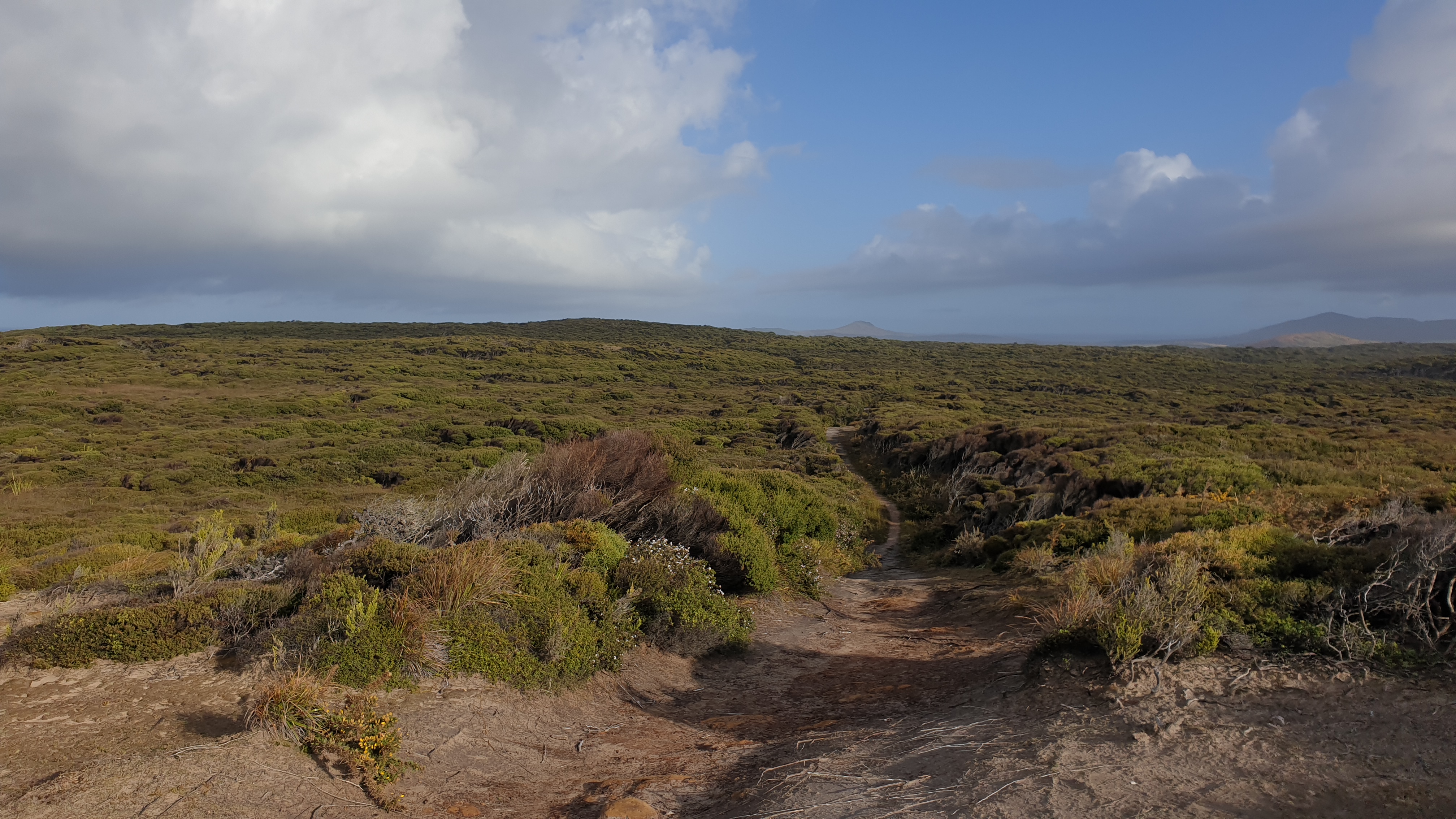
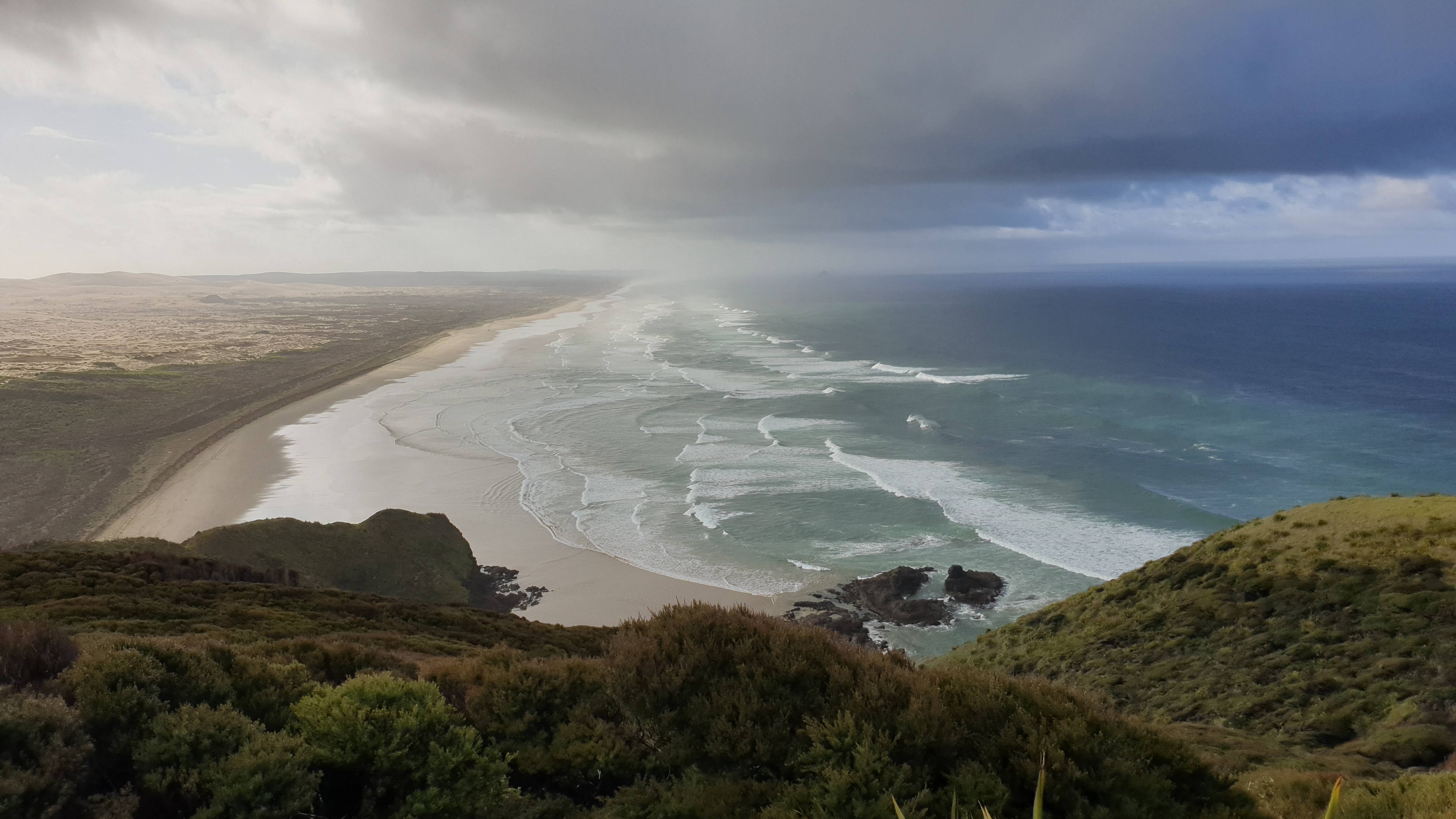
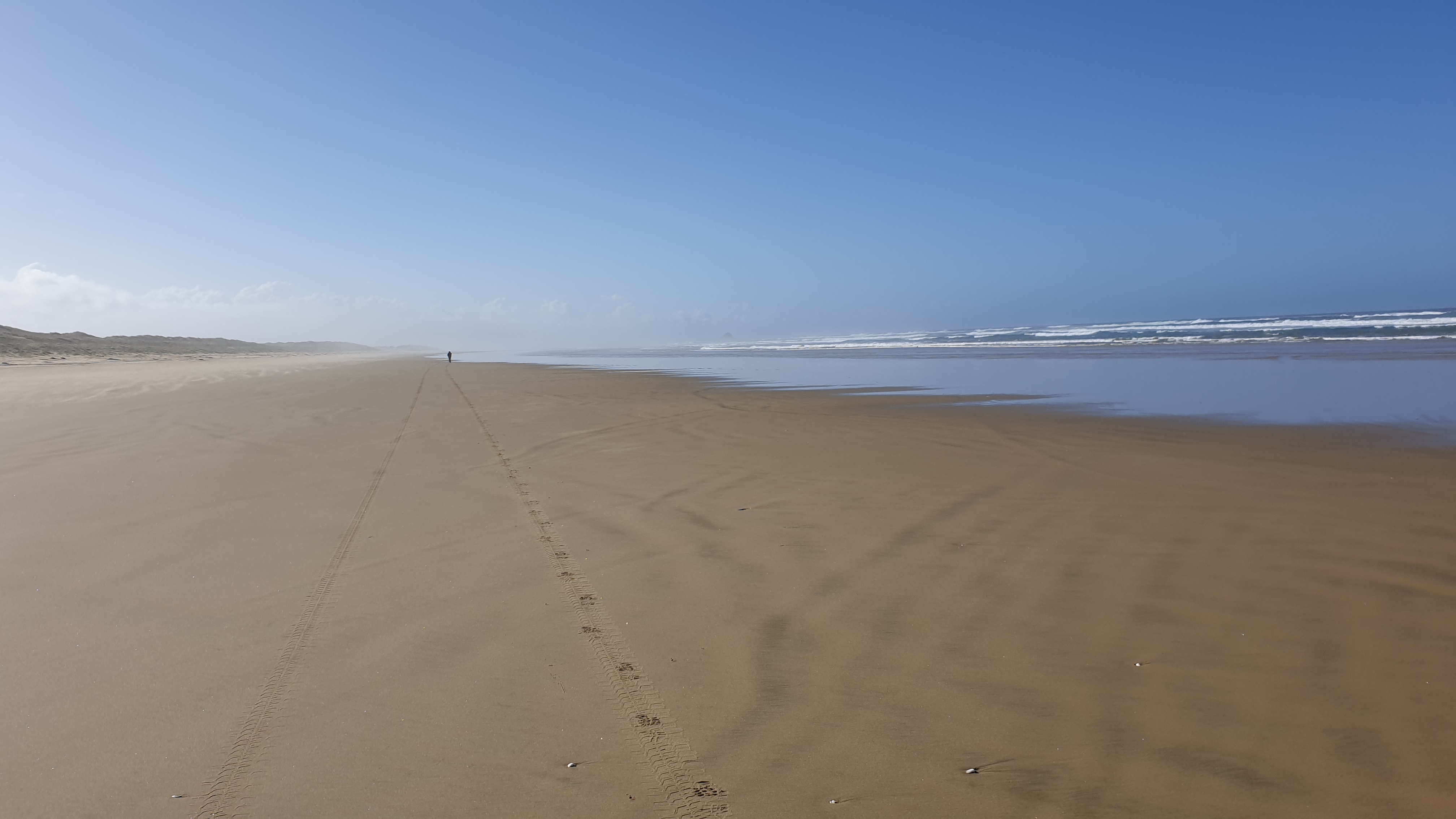
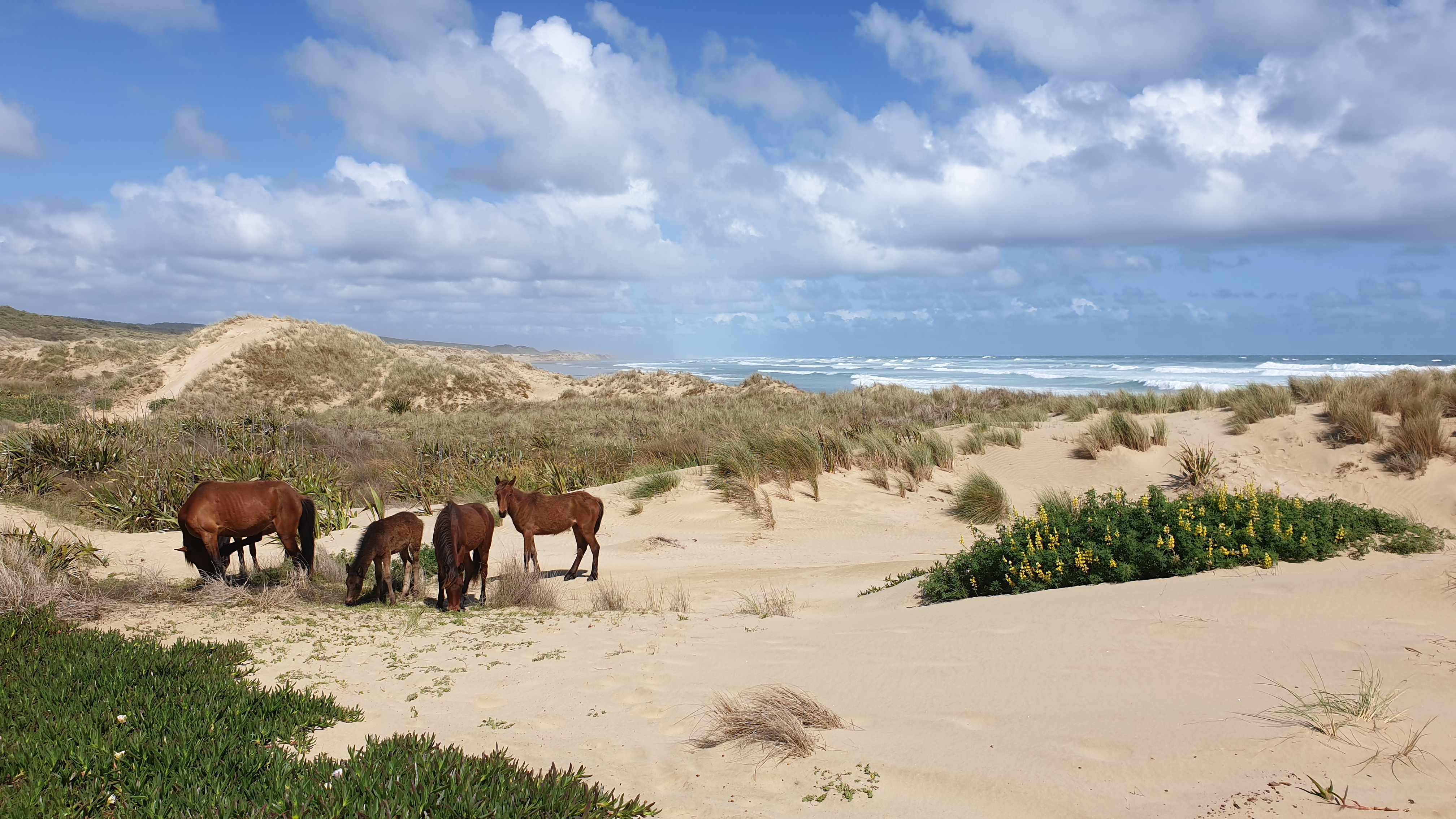
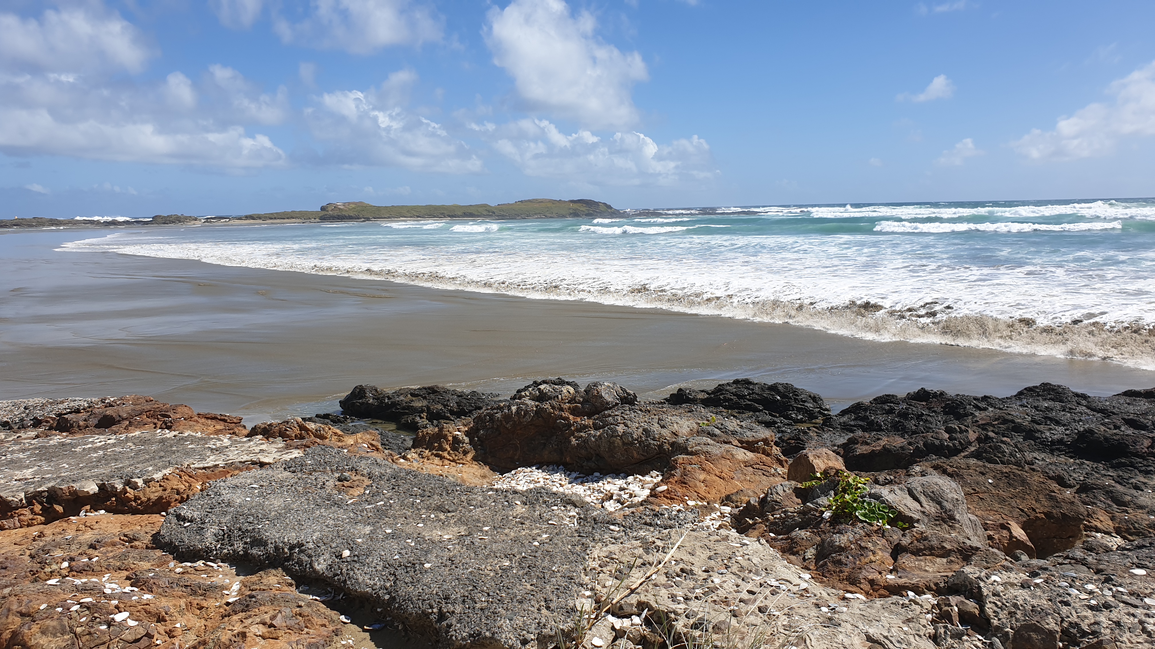
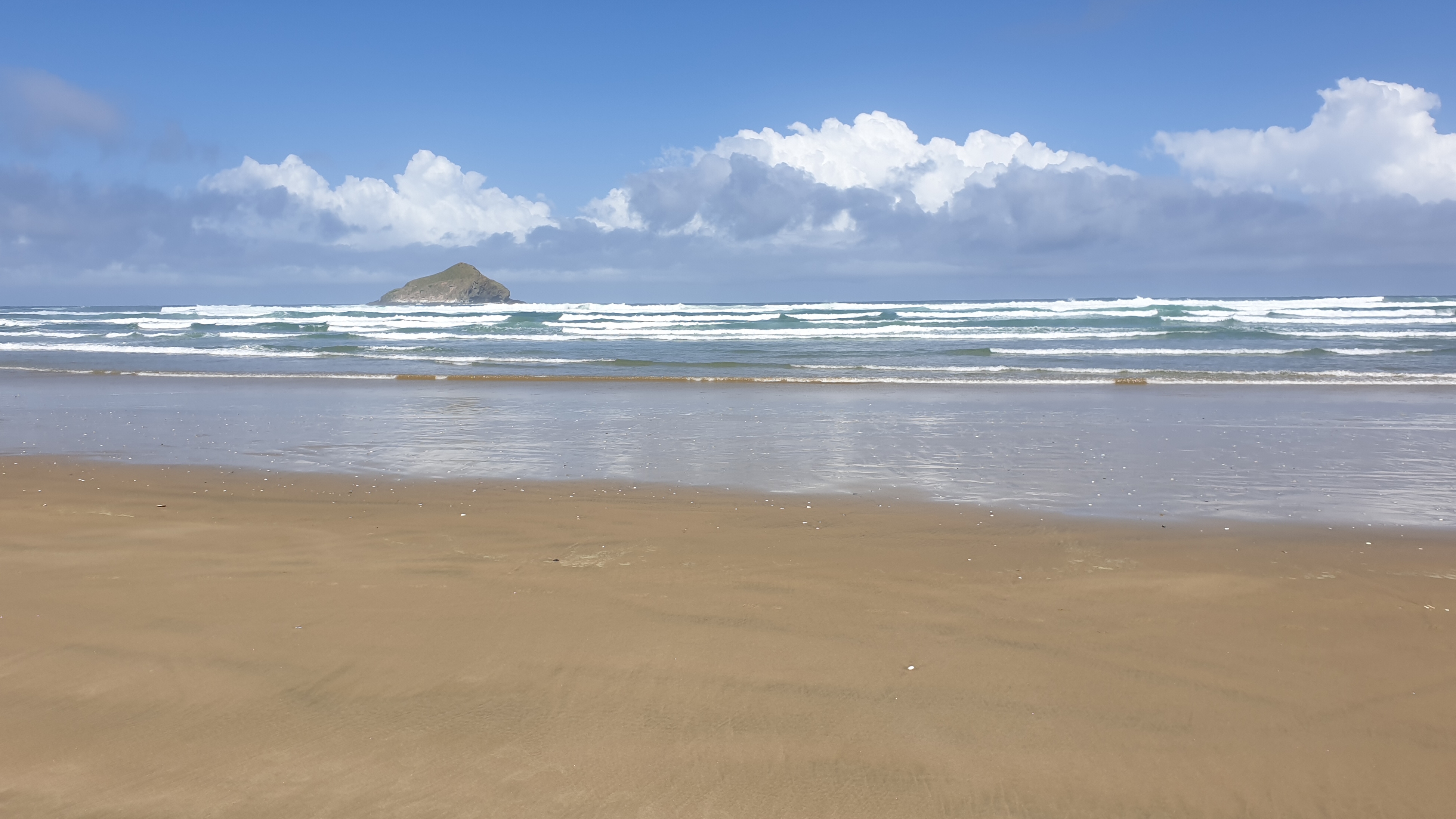
Day 3
Km 30
Cumulative km 70.7
This day was grueling…just the sheer boredom of kilometres of beach, crashing waves and my Achilles starting to burn. I also start to feel most of the bones in my feet, they are taking a beating.The only thing that keeps me going is knowing that today we will be back at Utea Park…in a bed with kitchen and bathrooms at our disposal.
I am beat when I arrive at the campsite. Tent has to come out anyway, like the day before to dry from a really short shower that morning. I strip my shoes off and waddle to the shower. I opt for a cold one for the muscles once more.
I was so blessed though, as there were other travellers there who also came in vans and note my sore feet and muscles. One offered my some arnica tablets, while a lovely young lady from Germnay, Josephine, said that she will give me a reflexology foot massage and sound therapy. I was taken aback by this offer, but quickly accepted. She went to her car to get her equipment. I dont really know what the wand is called, but she hit it against her knee, causing it to vibrate and emit a sound. She then placed it on each of my toes and it sent sound waves through my bones. So it was a massage to knead out the pain and then this sound therapy.I asked how I can repay her, she said that the biscuit I offered her earlier that afternoon was all she needed 🤩.
Day 4
Km 17
Cumulative km 87.7
At 3am or so this morning the weather changed drastically with strong wind and rain that battered the windows… how happy I was to be inside!
Today was a little sad as I said goodbye to my first hiking buddies. They are much quicker and fitter than me and were planning to do the 31km to Ahipara in one day, while I knew that I wouldn’t be doing myself any favours doing another ripper like this.
I took my time packing and having breakfast and left at about 08h30, just after another bit of rain came through.The first few hours were slow with a strong headwind. However, this would be easy with what came next…Driving horizontal rain, and it was cold, then I realised it was small hail, maybe 2-3mm across. I had just got my rain jacket on in time but got a bit wet.
The muscles actually appreciated the cold, wet and cooling effect of the strong wind.I was drying off , when, some 30min later another stronger episode arrived. This time I couldn’t walk with getting very pummeled and thus just stood with my back to it.Again, not a long event- luckily!
Day 5
Km 14
Cumulative km 101
After camping wild the night before I was happy to be doing the last stretch of beach.The weather was decent without any drizzle but ever strengthening headwind. I left Waipapakauri at 08h30 and arrived at the YHA just before midday.
Got a dorm bed and sorted out the gear with a bit of de-sanding !
My toes seem to be squashed in my shoes and are bruised, thus sore. Feet are swollen like a pregnant woman with sausages for toes.
I did make it off the beach with 1 blister on right, small toe.
Achilles has been hurting after about 10km daily.I endeavour to stretch and massage the aches.I do feel much better after splitting the 31km section into two- 17 and 14km.
